





Nesjavellir Hike
Key facts about the hike
- Difficulty
- Easy Hikes are rated from very easy to very hard: my difficulty scale
- Duration
- 2h30 Estimated time, short breaks included (photos, water, snacks), picnic not included: how it is calculated
- Distance
- 6.6km
- out and back
- Elevation gain
- 260m
- Type of route
- Out and back
- Maximum altitude
- 390 m
- Vertiginous Five levels, depending on how exposed the route is: the levels in detail
- No
- Marked
- Partially
- Popularity
- Very low
- Region
- West
- Start point
- 64.10334, -21.27717
- Activity
- Hiking
Hike overview
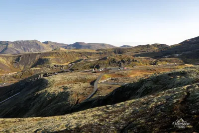
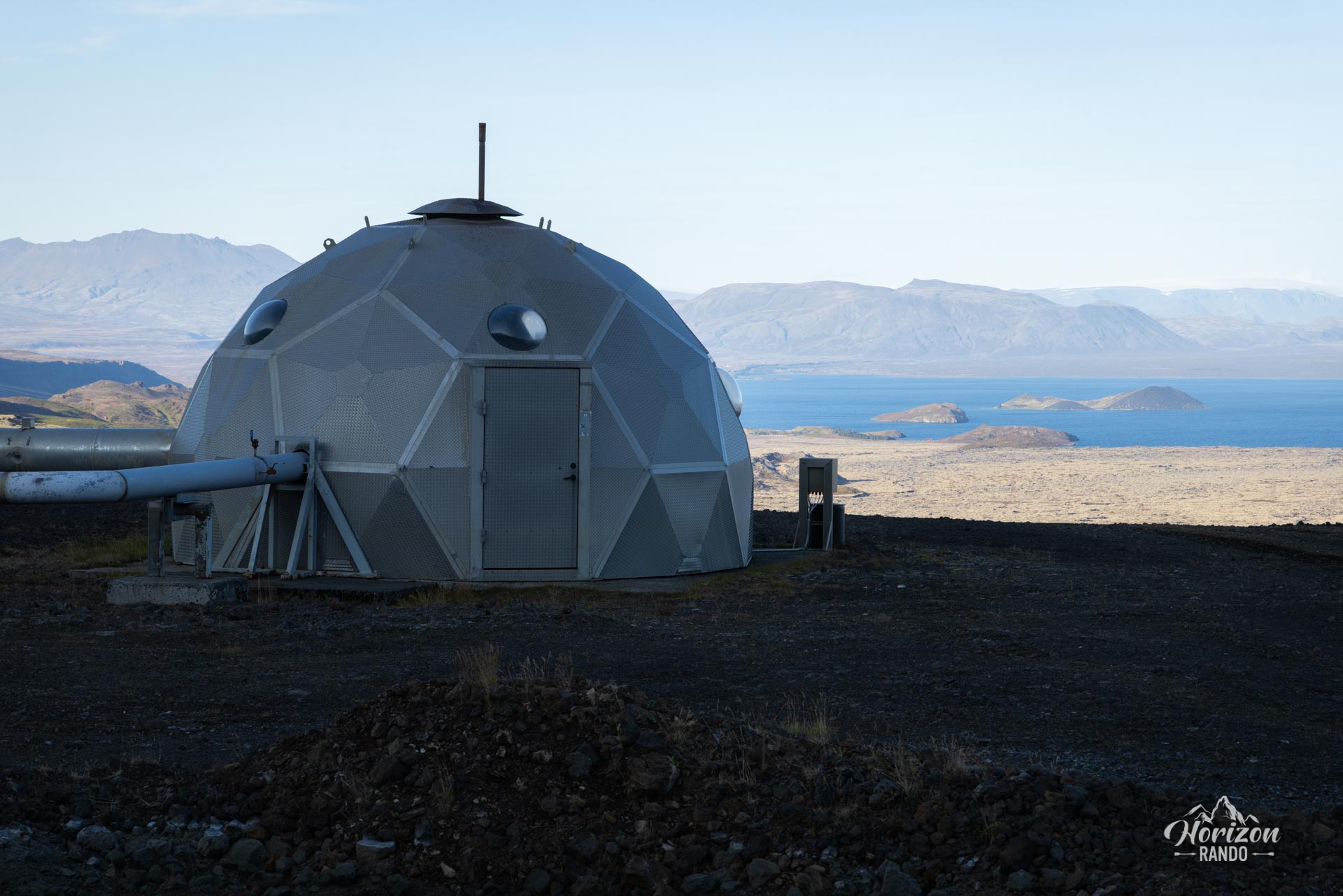
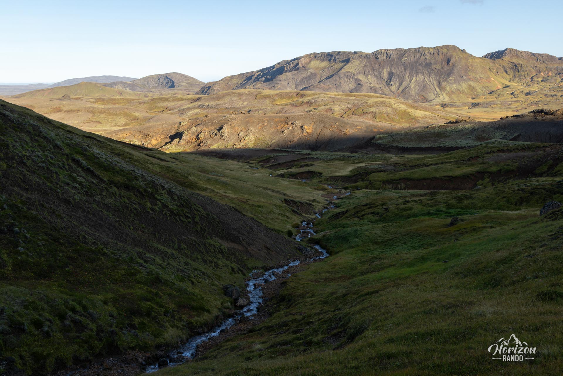
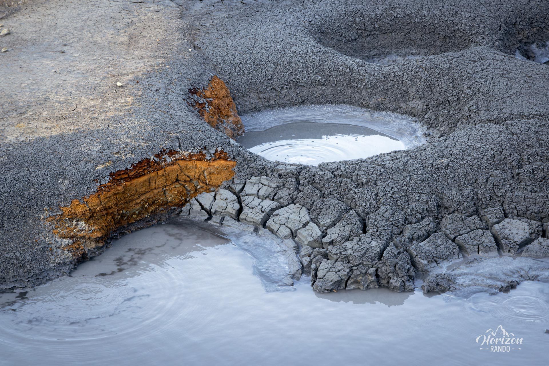
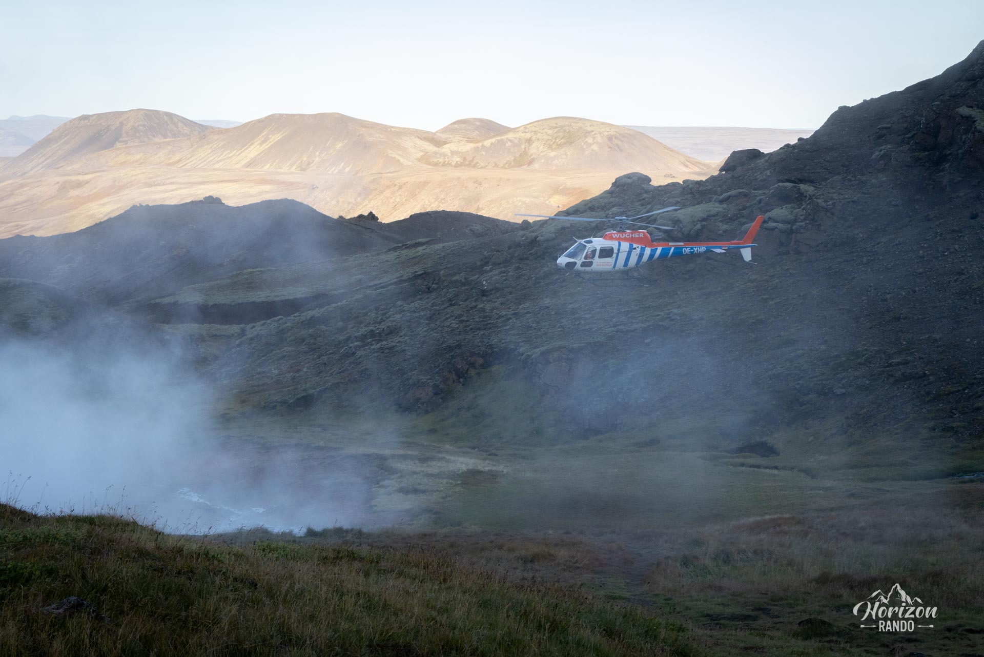
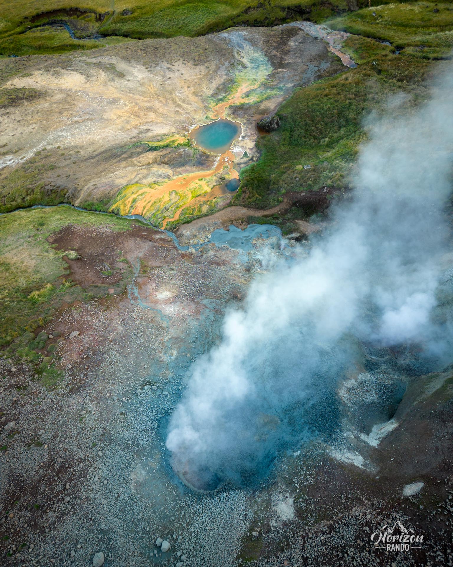
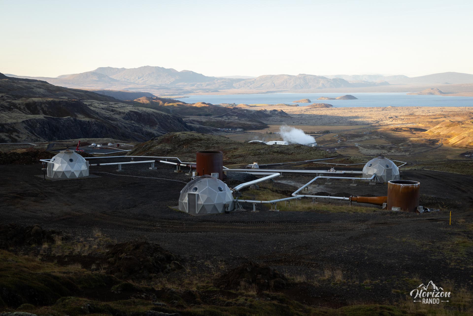
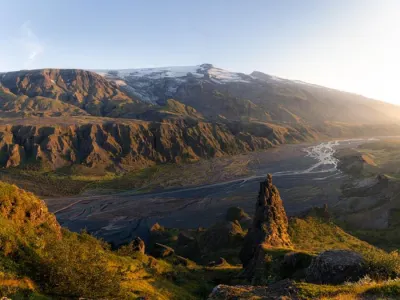
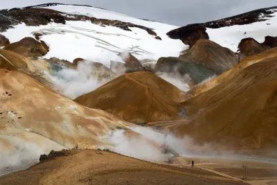
Discover Nesjavellir, a fascinating geothermal area in southwestern Iceland near Thingvellir National Park and Lake Thingvellir. The site is home to the second largest geothermal power plant in the country. This hike offers a captivating natural spectacle with steaming hills, mud pools, fumaroles, and hot springs.
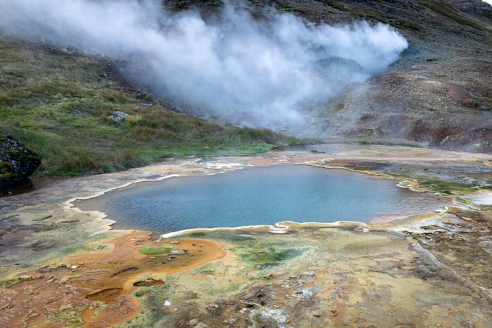
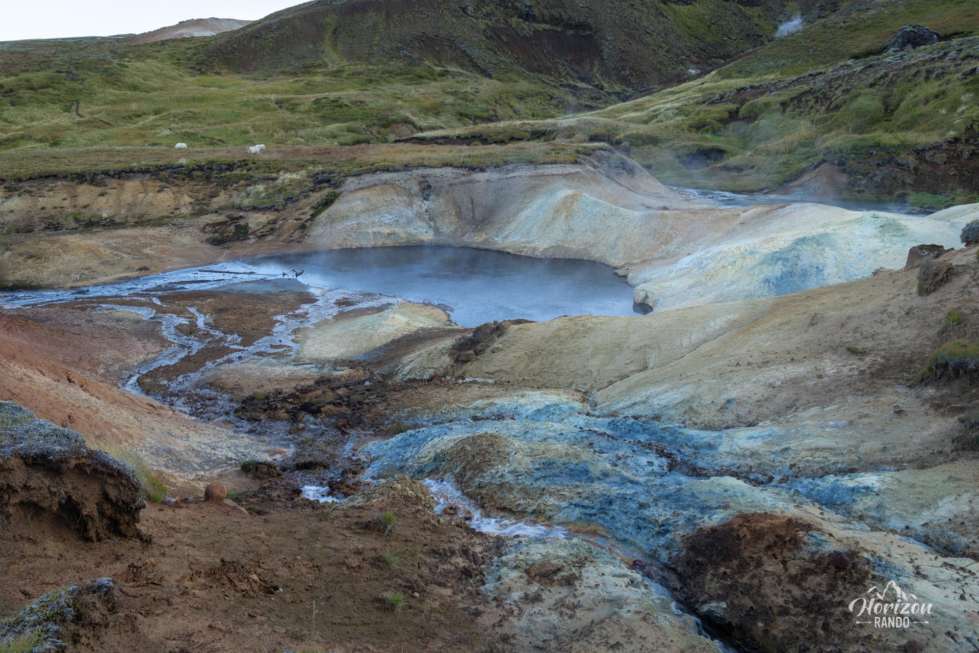
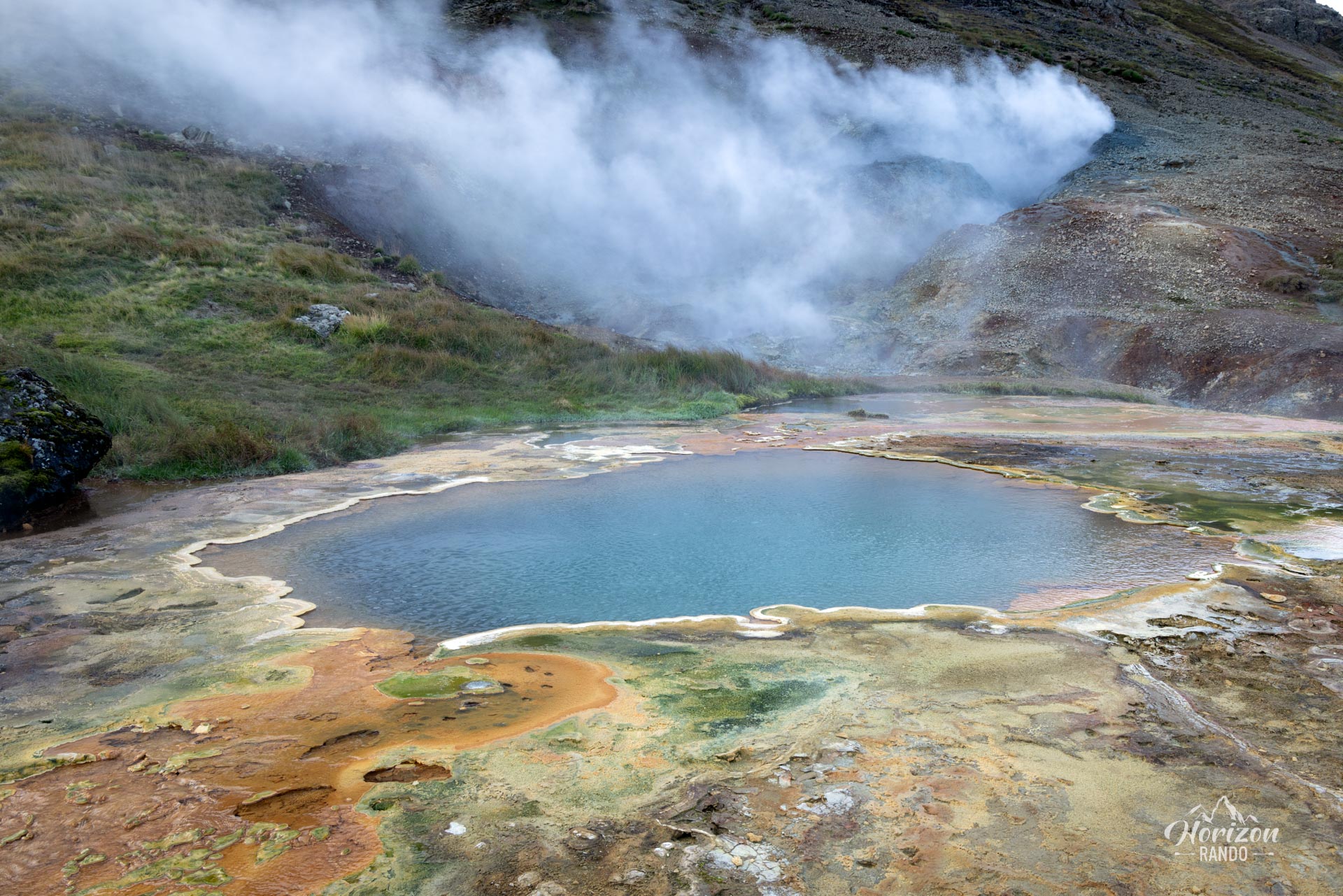
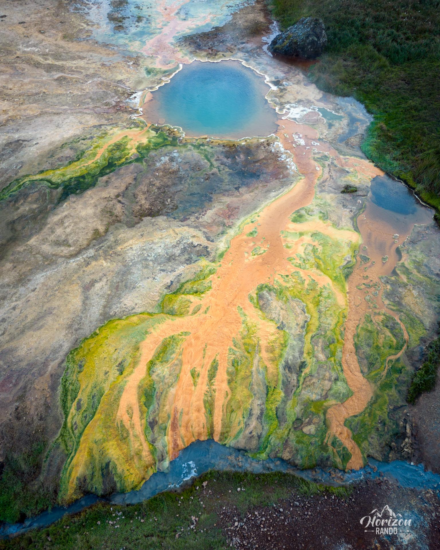
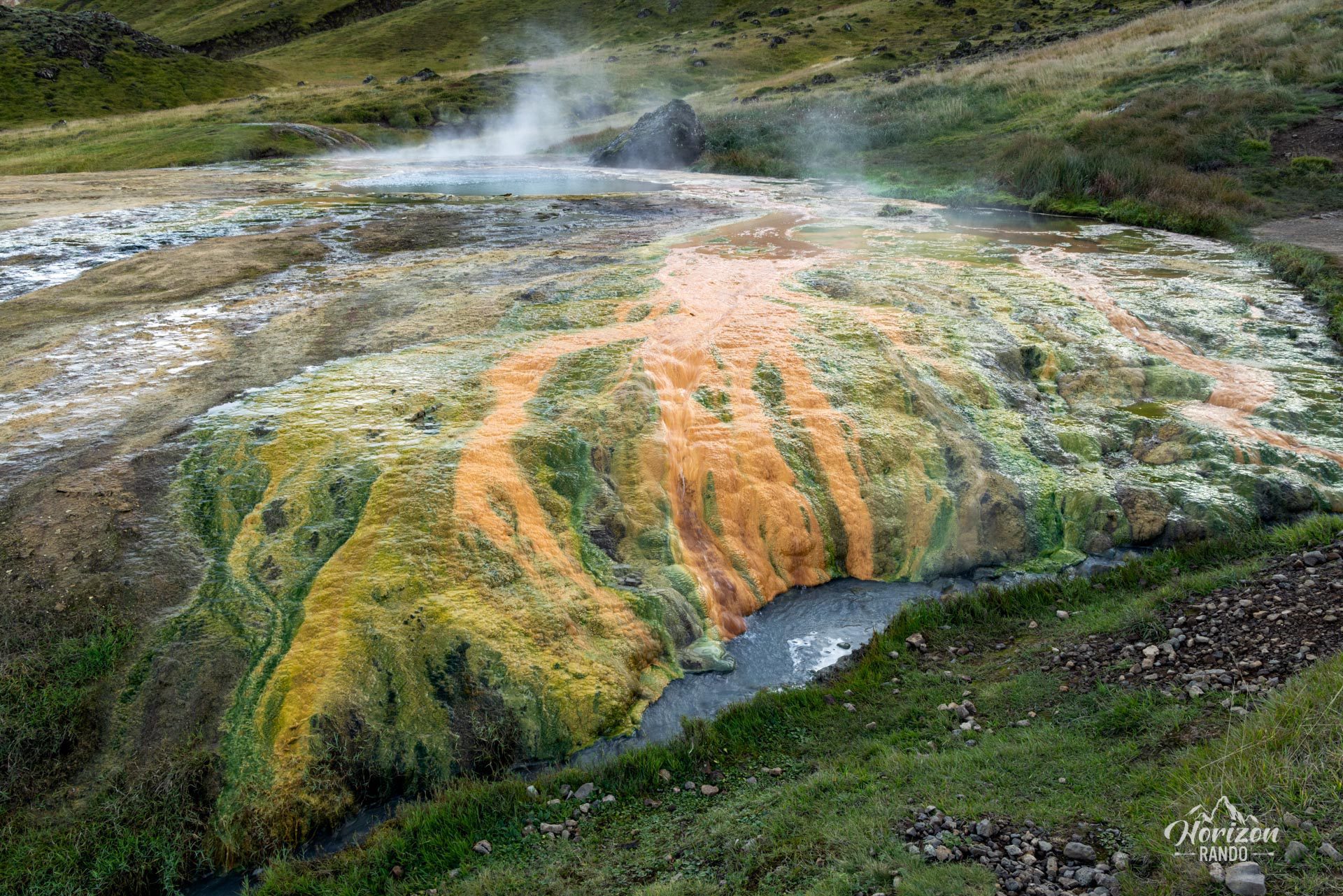
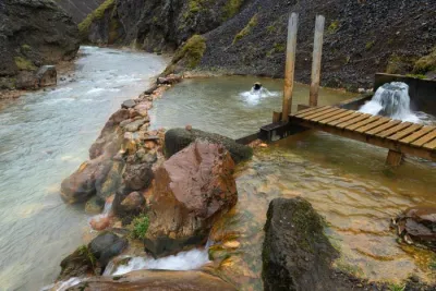
Nesjavellir is an off-the-beaten-path place, far from the crowds, which makes it particularly enjoyable to explore. The trail ends on a high note in front of a magnificent hot spring adorned with bright colors, offering hikers a visual reward for their efforts.
Map and elevation profile of the hike
Nesjavellir Hike
Difficulties of the hike
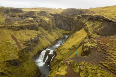
The hike is technically easy and takes place on a well-maintained trail. The first part of the route is in the heart of the geothermal power plant site and is well marked with numbered viewpoints. However, the second part is less obvious, so a GPS device is highly recommended to avoid getting lost or extending the journey unnecessarily.
What you'll love
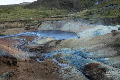
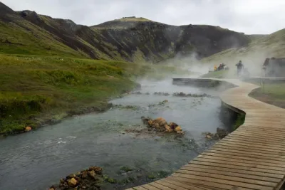
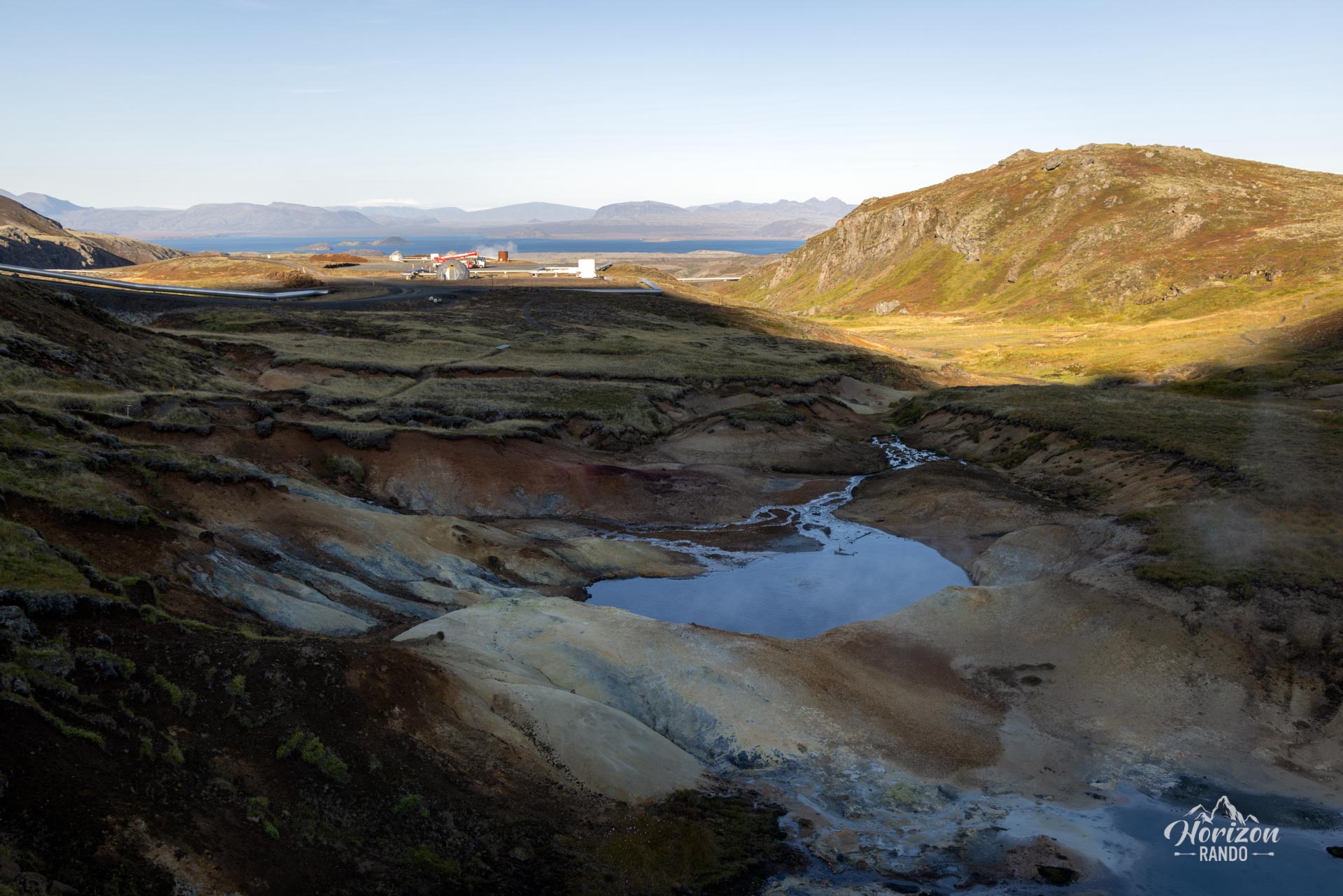
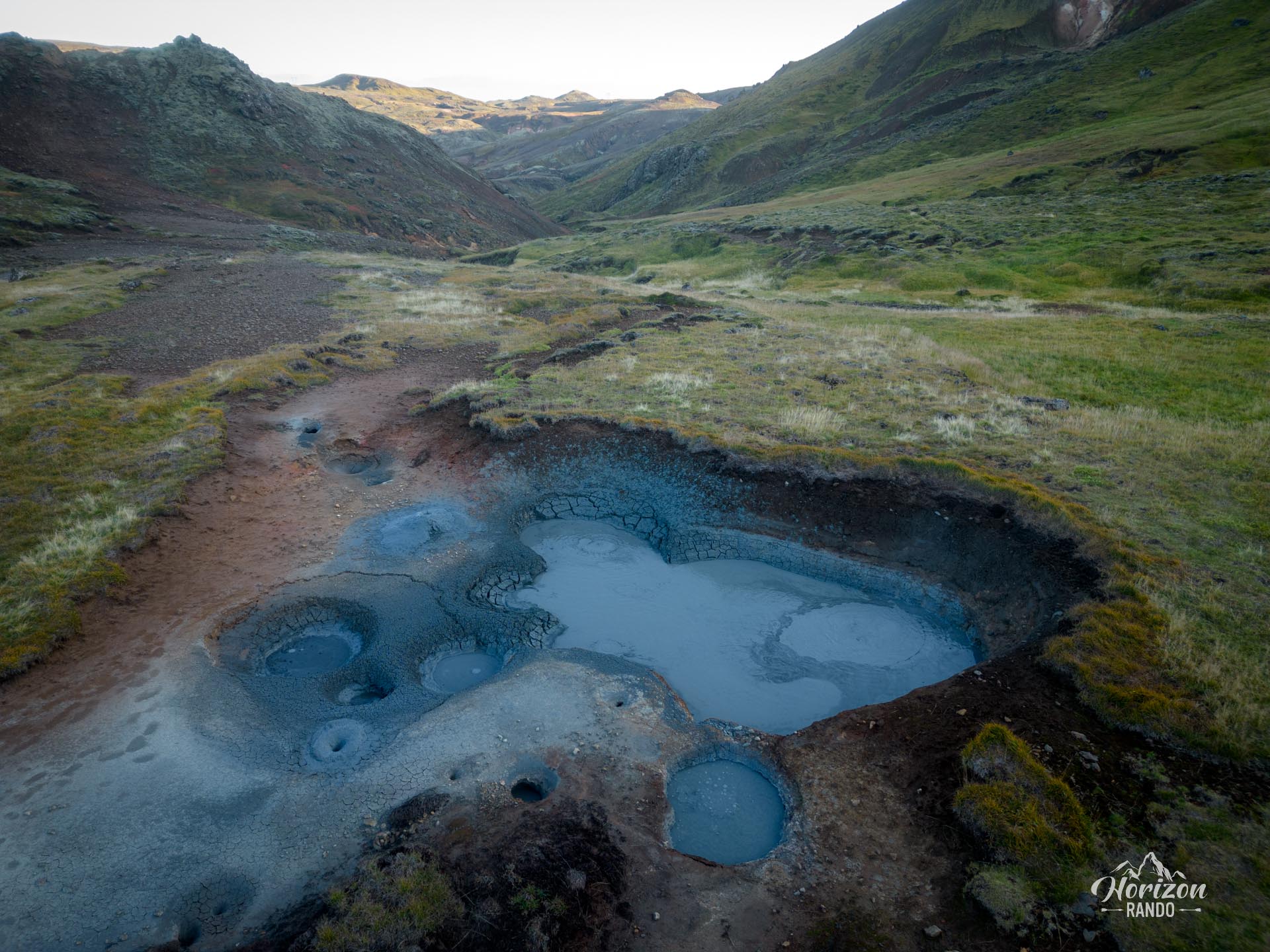
- A geothermal festival: Discover a concentration of volcanic phenomena, including boiling mud pools, fumaroles, solfataras, and hot springs.
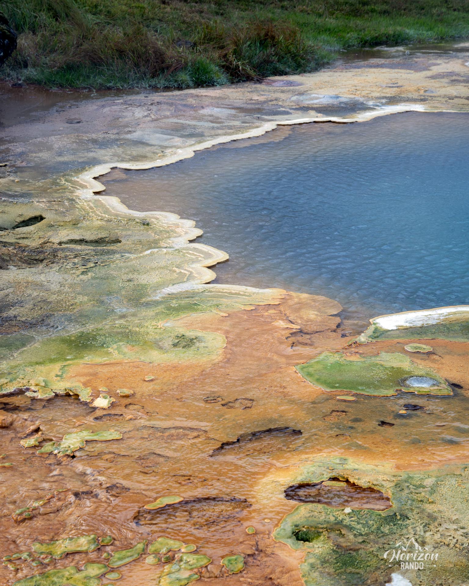
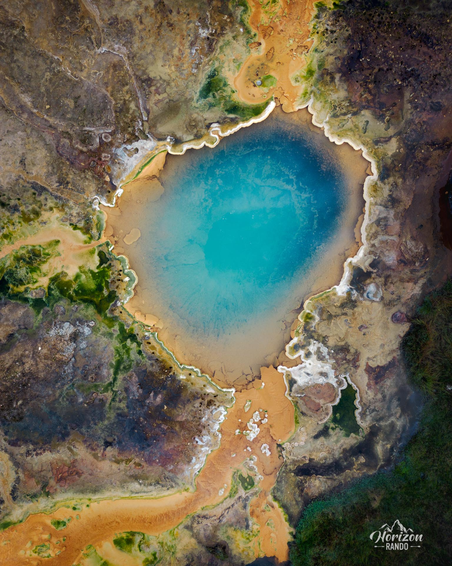
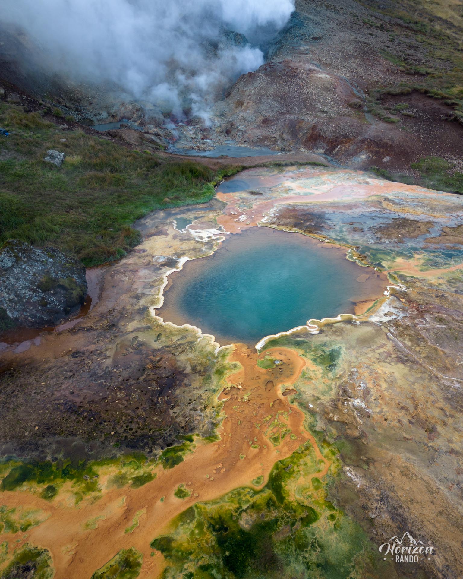
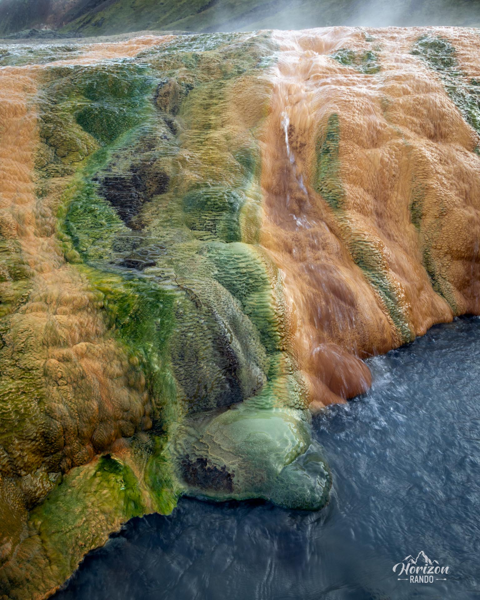
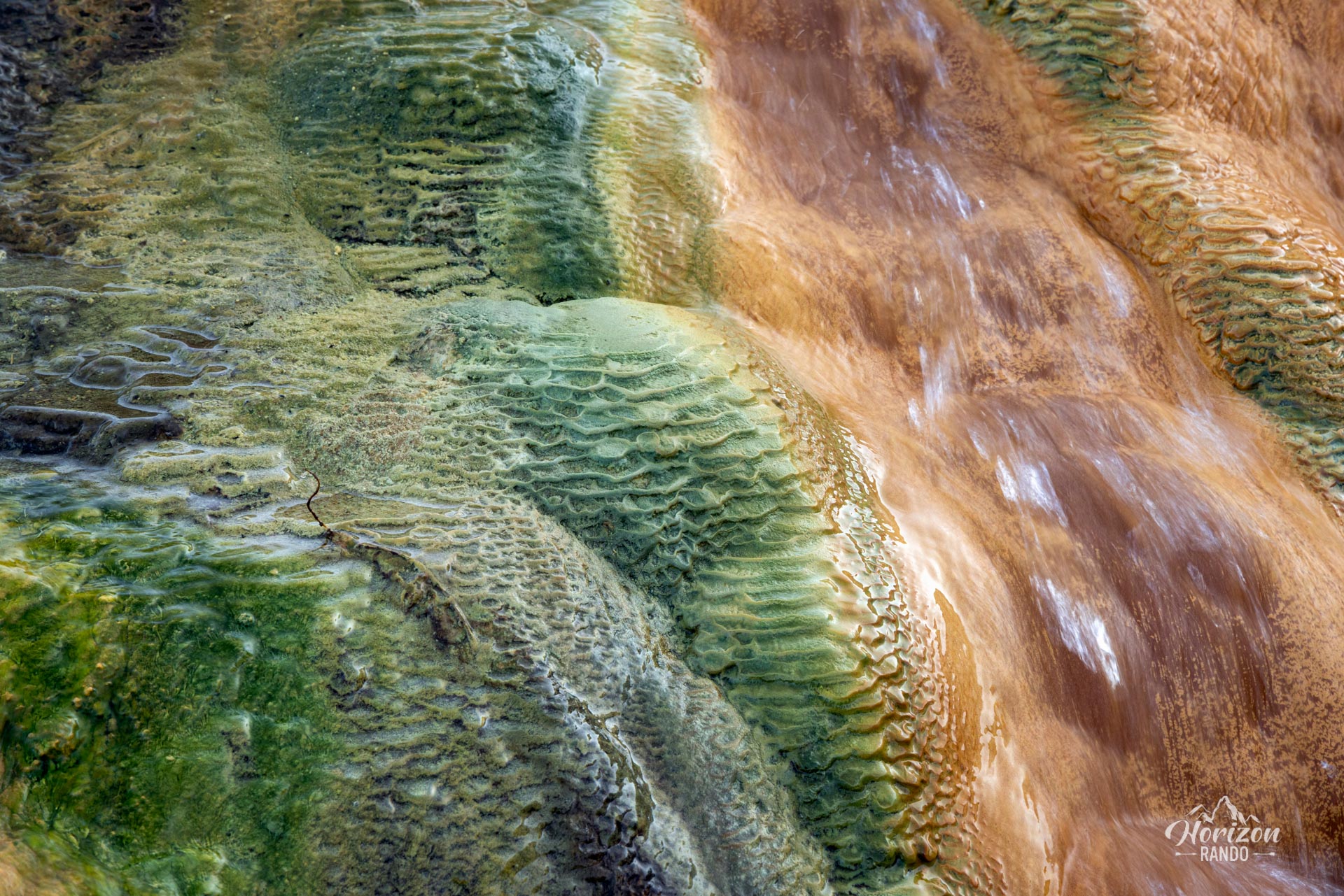
- The final hot spring with its vibrant colors: The highlight of the trail awaits you with this natural wonder in bright shades of blue, orange, and green—a real visual reward for your efforts.
- Authenticity of a preserved site: Enjoy a peaceful experience far from hordes of tourists in an exceptional natural setting where you will encounter few other hikers.
Practical information
Equipment
A GPS watch or hiking app is highly recommended for navigation, especially in the second half of the route.
Safety tip
Hot springs, mud pools, and fumaroles are extremely hot. Stay alert, and do not get too close to active areas. Walk only on established trails to avoid damaging these fragile ecosystems and for your own safety.
Photos
See all 18 photos →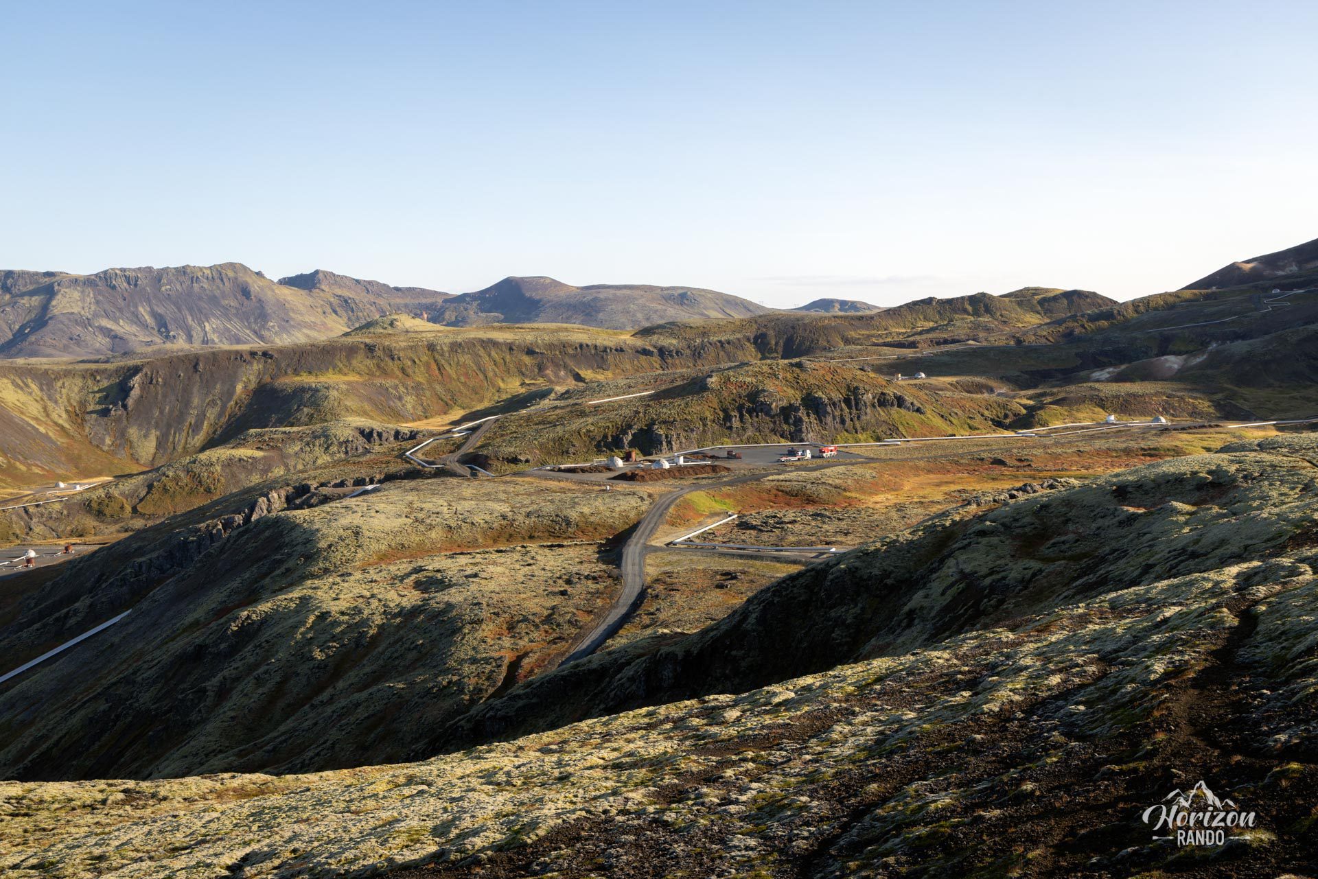
More hikes to do in Iceland
Nearby hikes
















Printed from www.horizonrando.fr/en/iceland/nesjavellir/