






Skalli Hike
Key facts about the hike
- Difficulty
- Hard Hikes are rated from very easy to very hard: my difficulty scale
- Duration
- 6h30 Estimated time, short breaks included (photos, water, snacks), picnic not included: how it is calculated
- Distance
- 17.7km
- Elevation gain
- 960m
- Type of route
- Loop
- Maximum altitude
- 1,027 m
- Vertiginous Five levels, depending on how exposed the route is: the levels in detail
- Slightly
- Marked
- Yes
- Popularity
- Low
- Region
- Highlands
- Start point
- 63.99055, -19.06025
- Activity
- Hiking
Hike overview
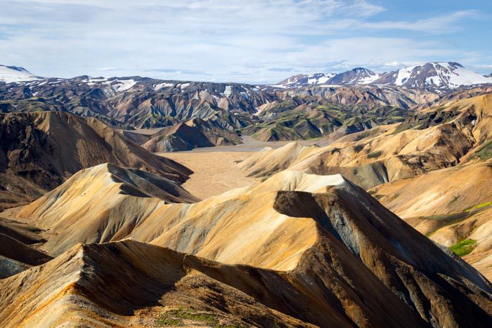
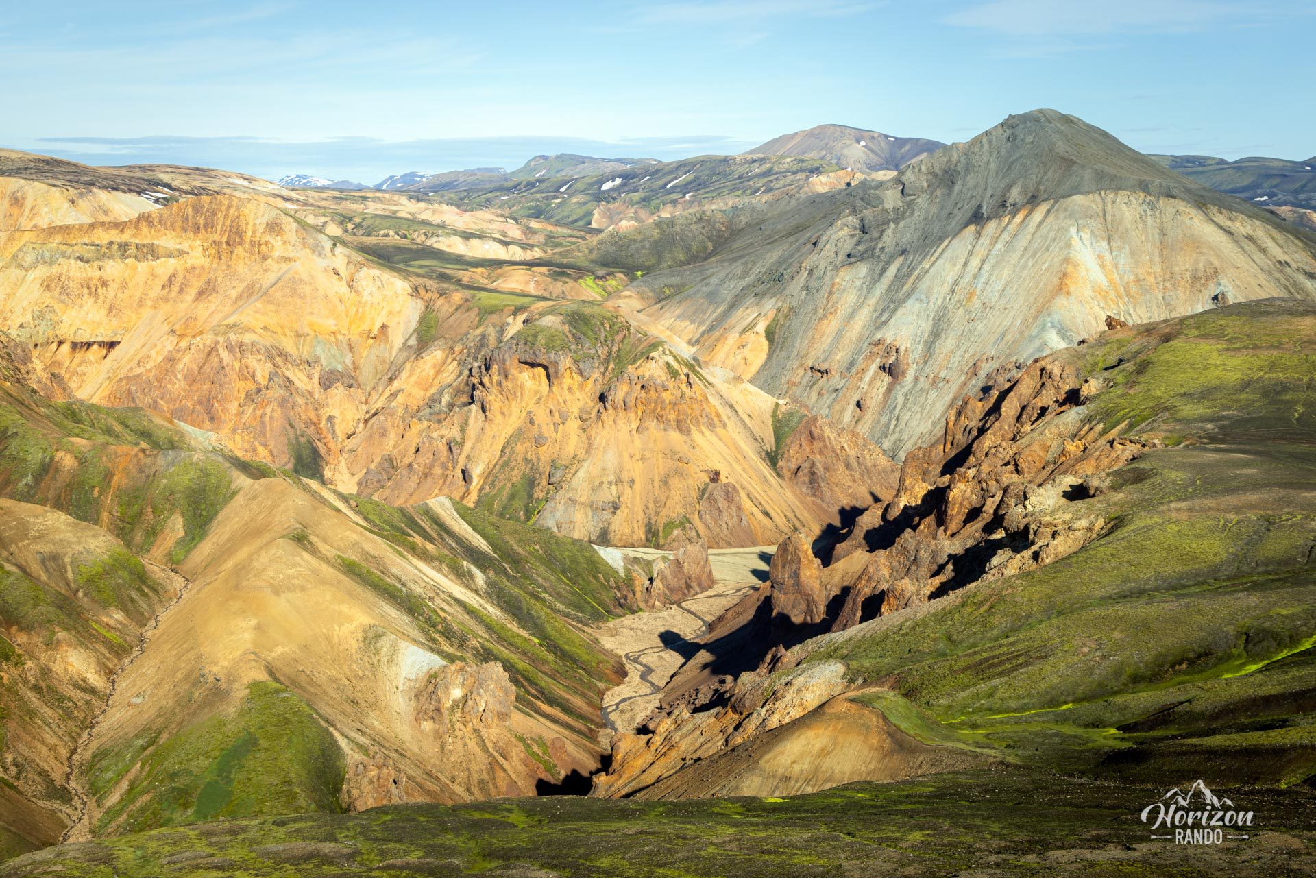
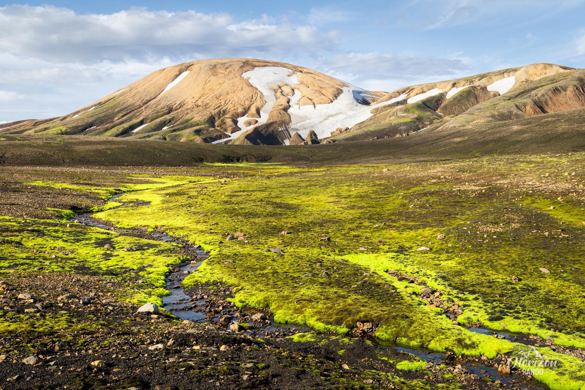
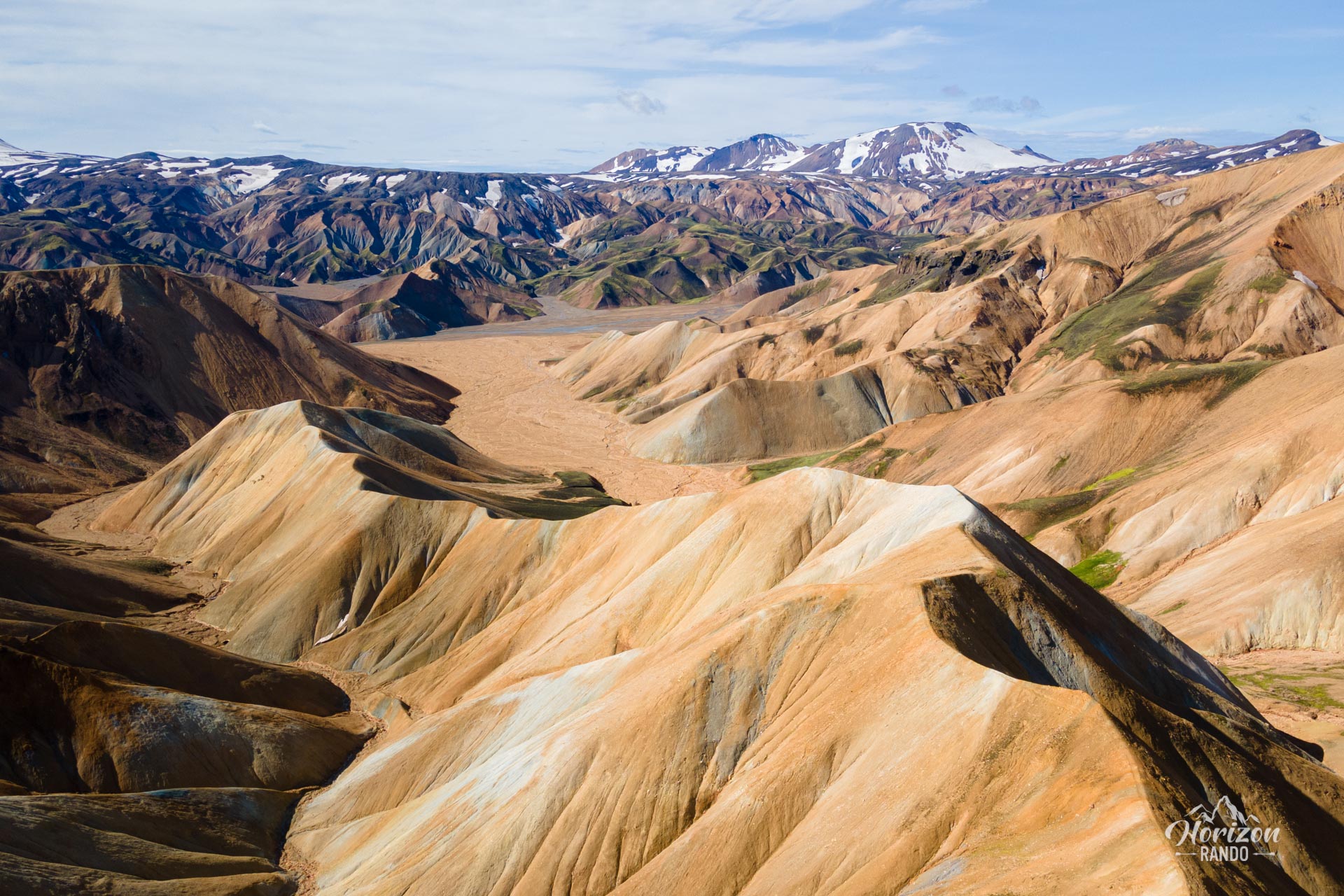
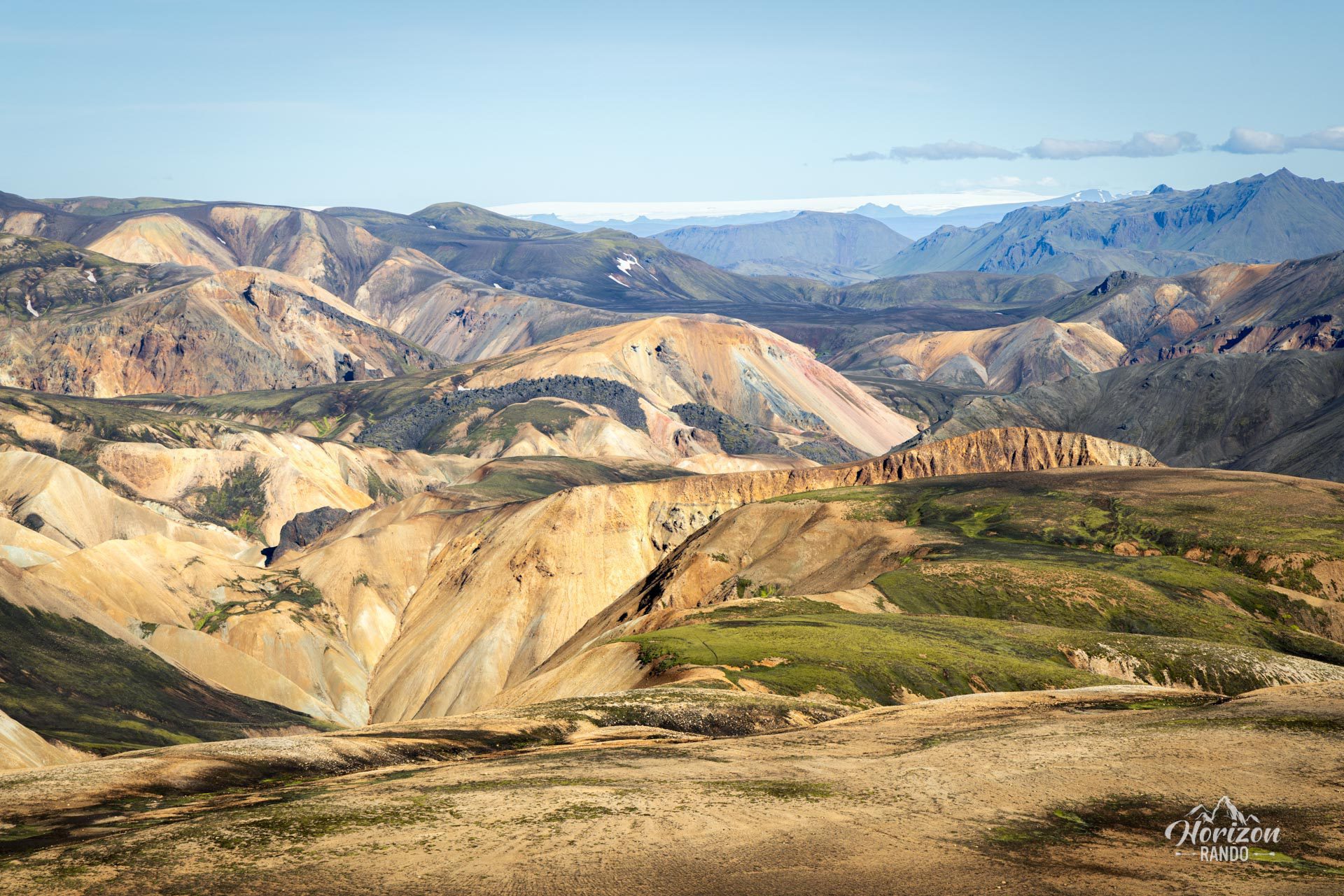
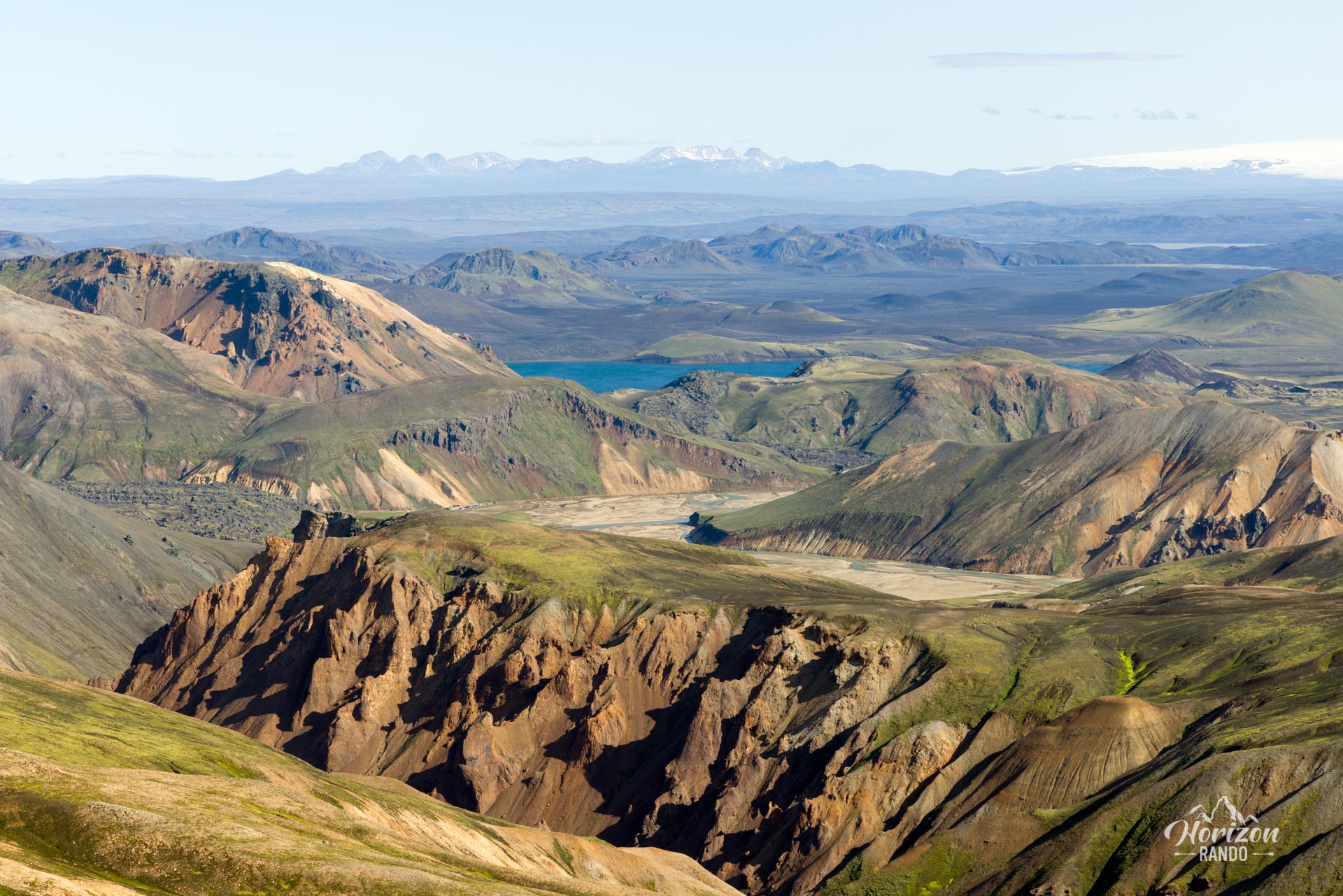
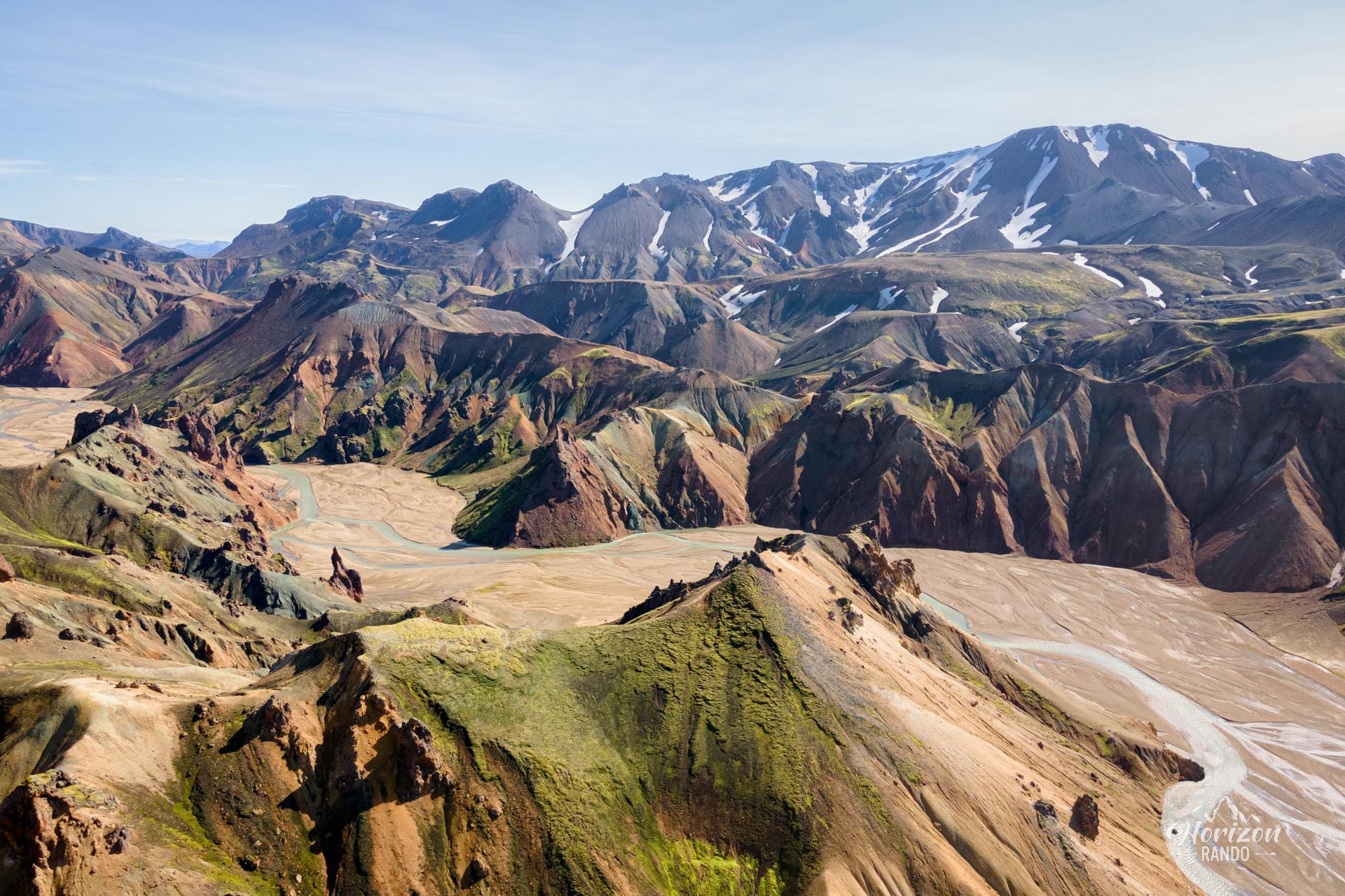
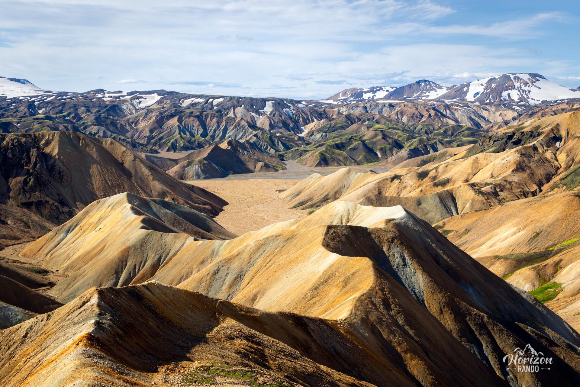
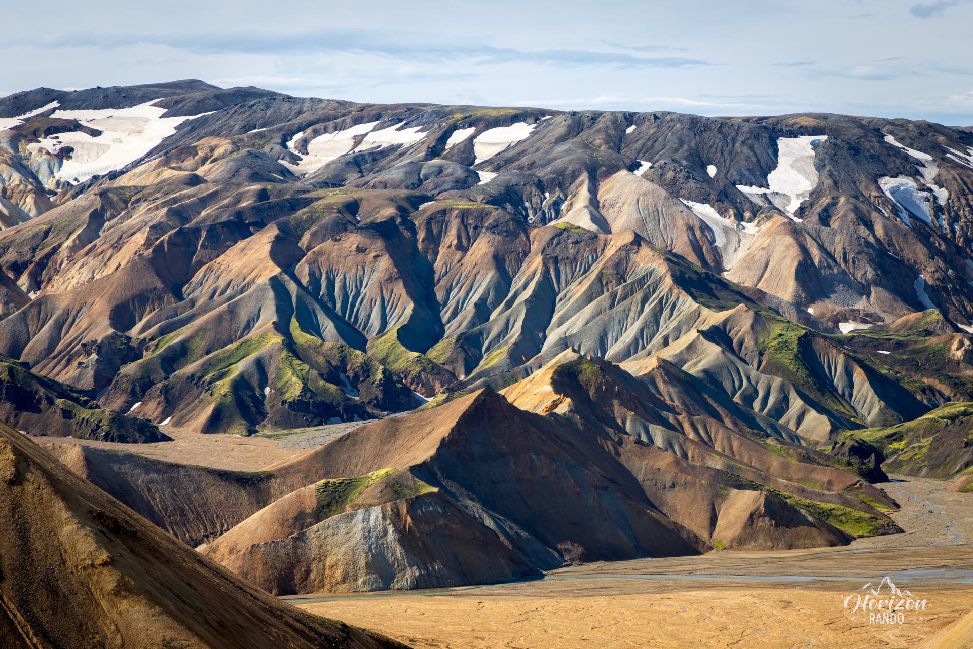
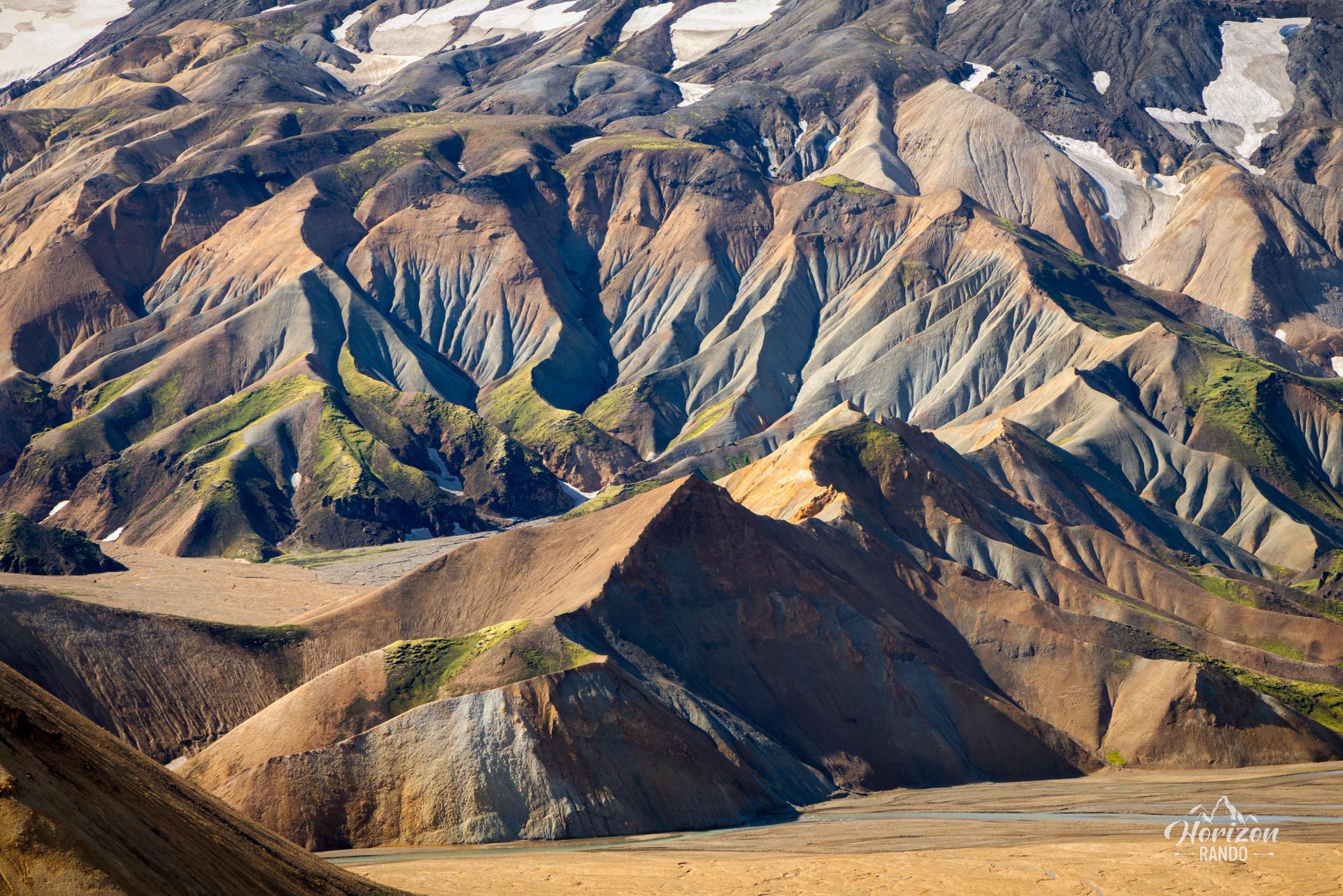
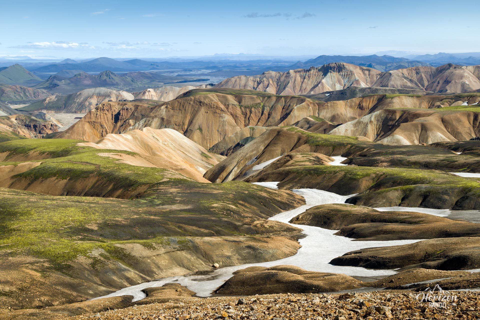
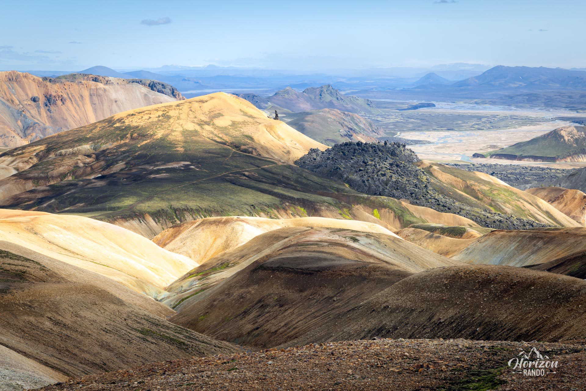
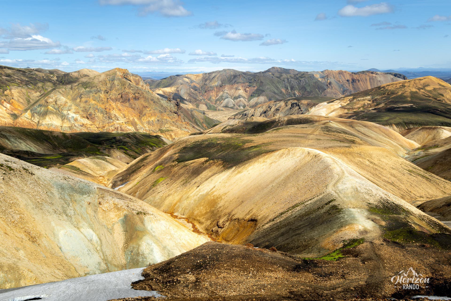
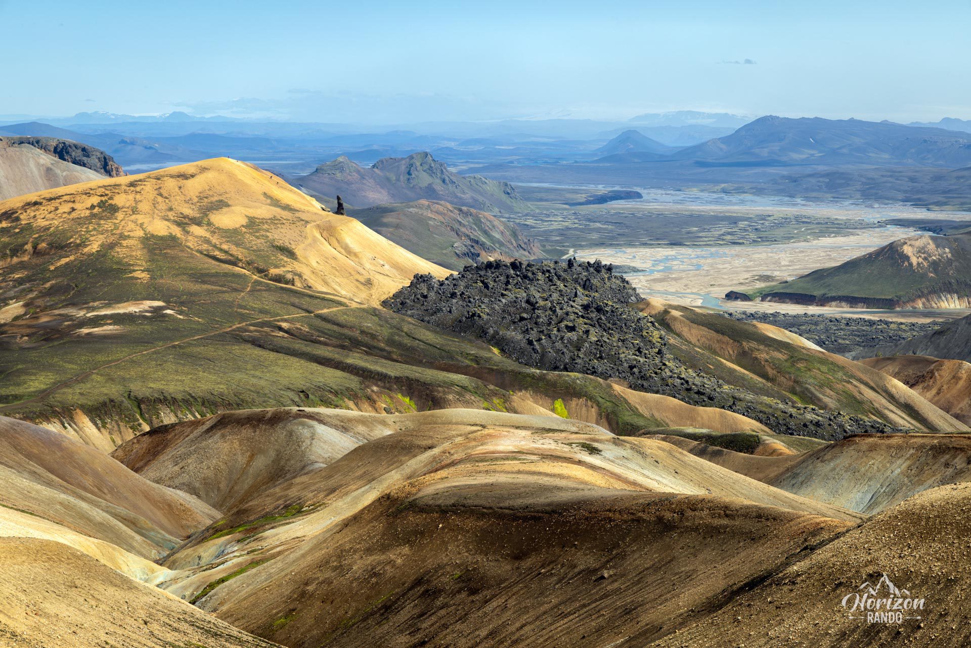
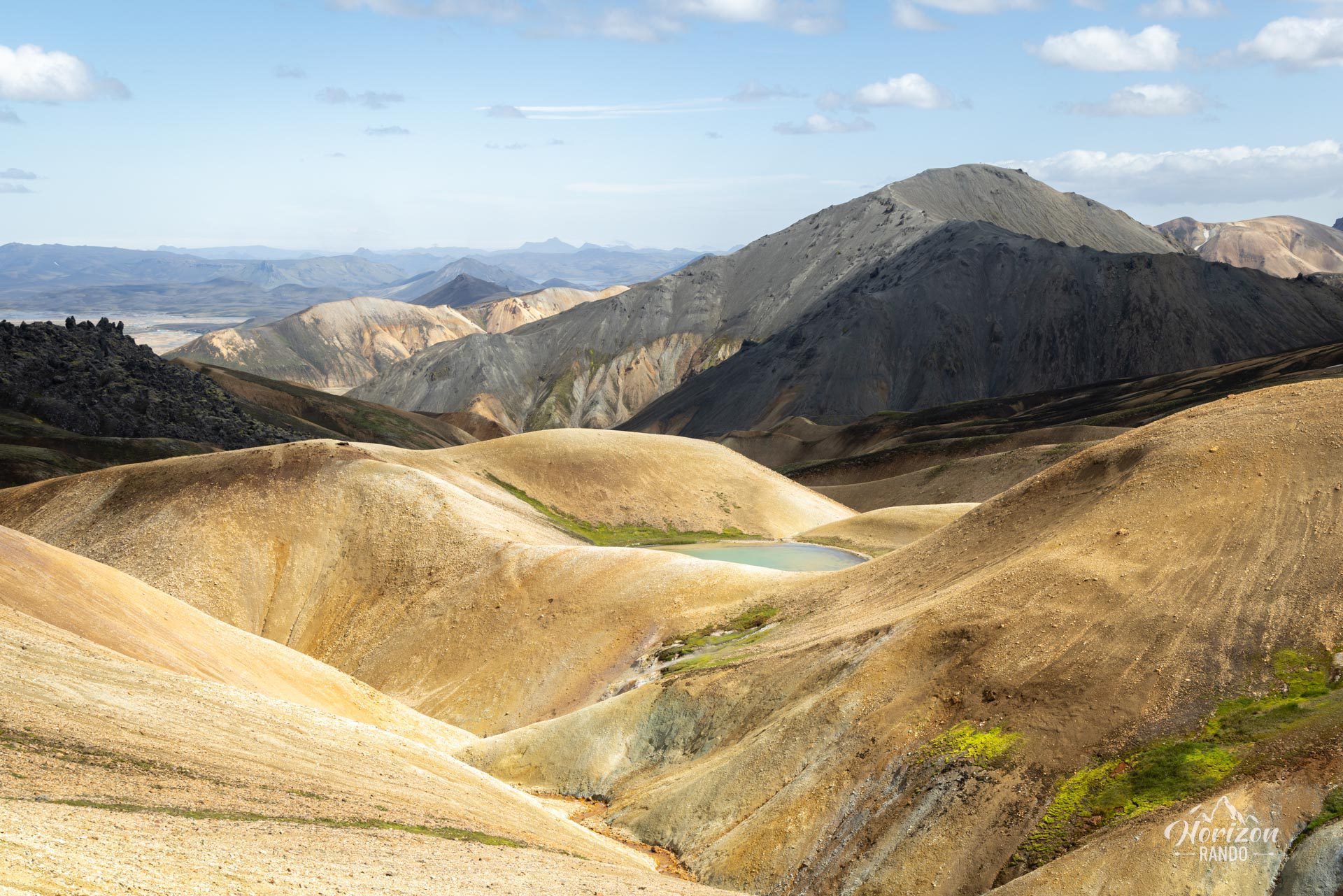
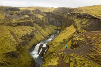
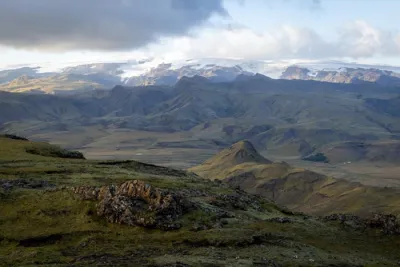
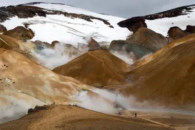
Skalli is a rounded mountain that rises to an altitude of 1,027 meters in the Landmannalaugar region of Iceland. Though less popular than the routes to the iconic peaks of Bláhnúkur and Brennisteinsalda, this trail offers equally stunning views, true to this region's exceptional reputation. Prepare to be amazed at every turn.
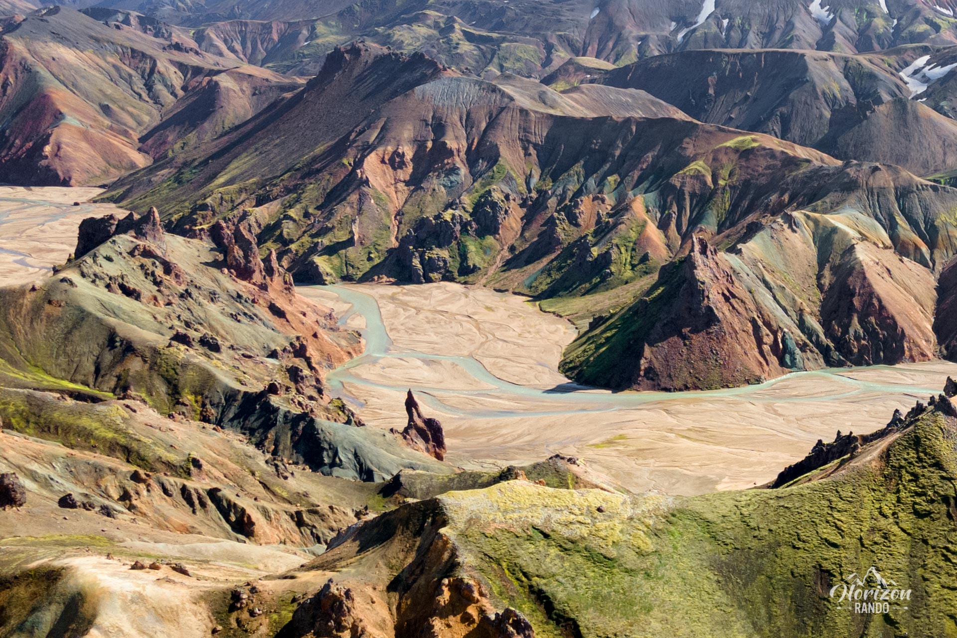
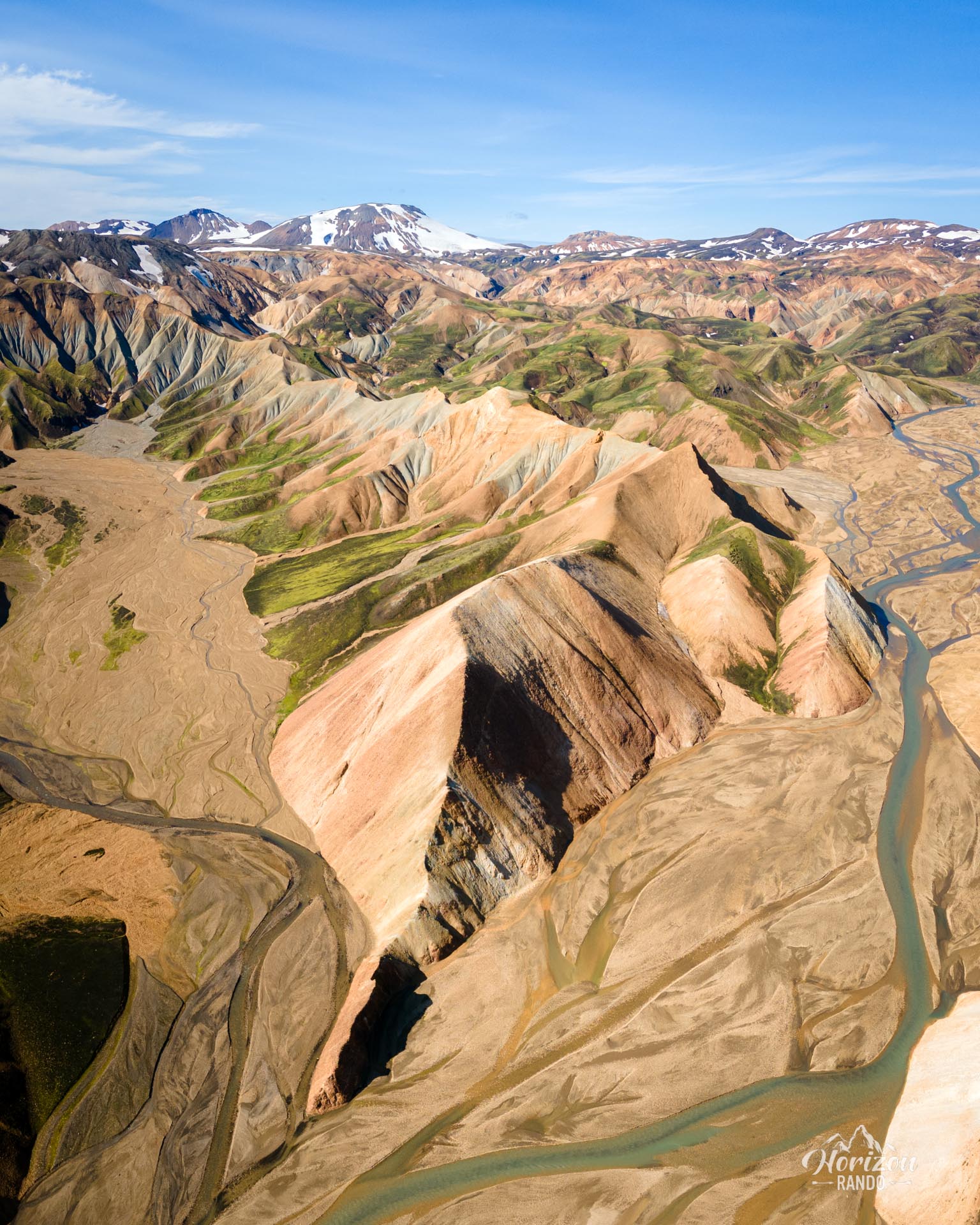
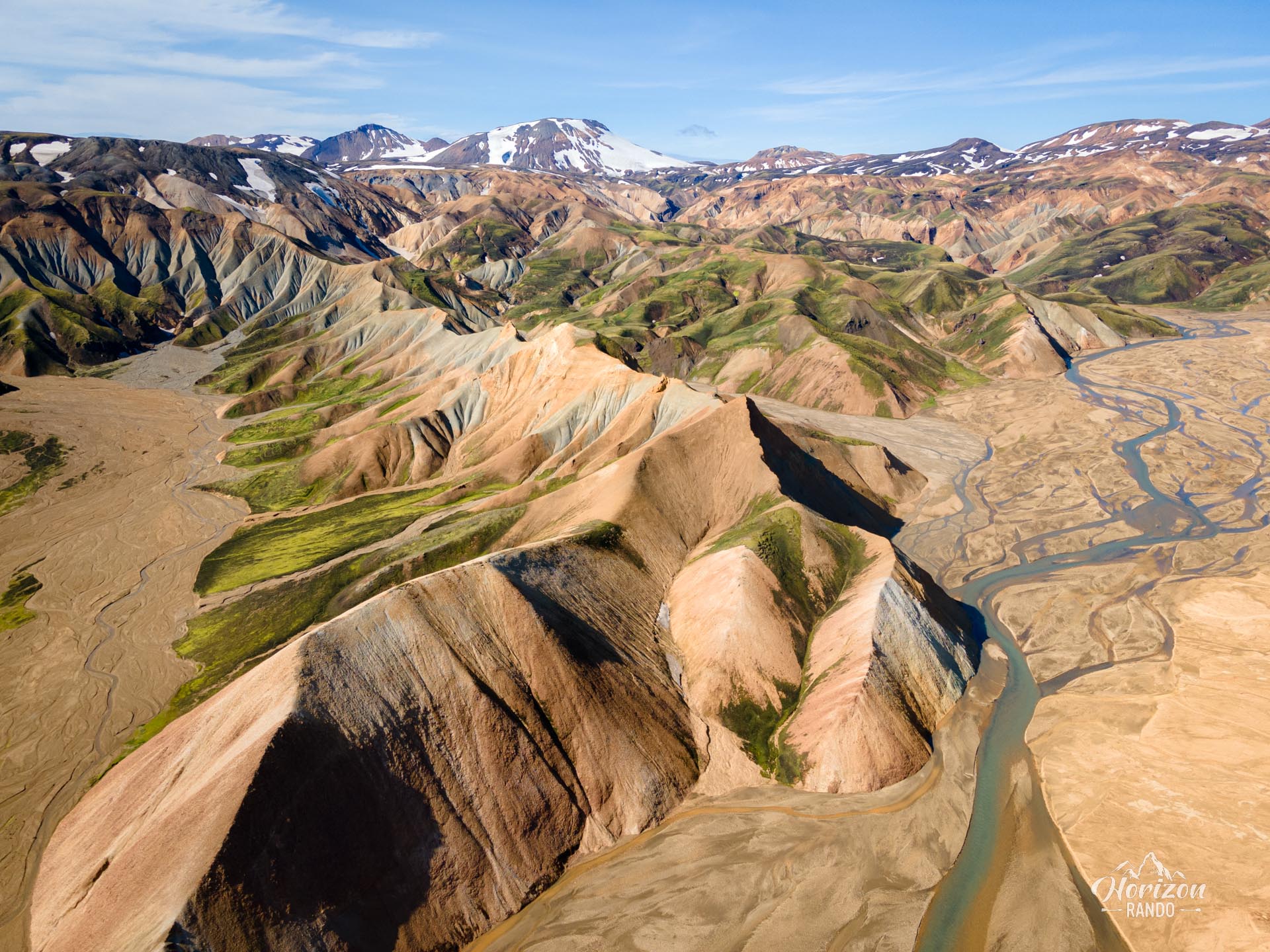
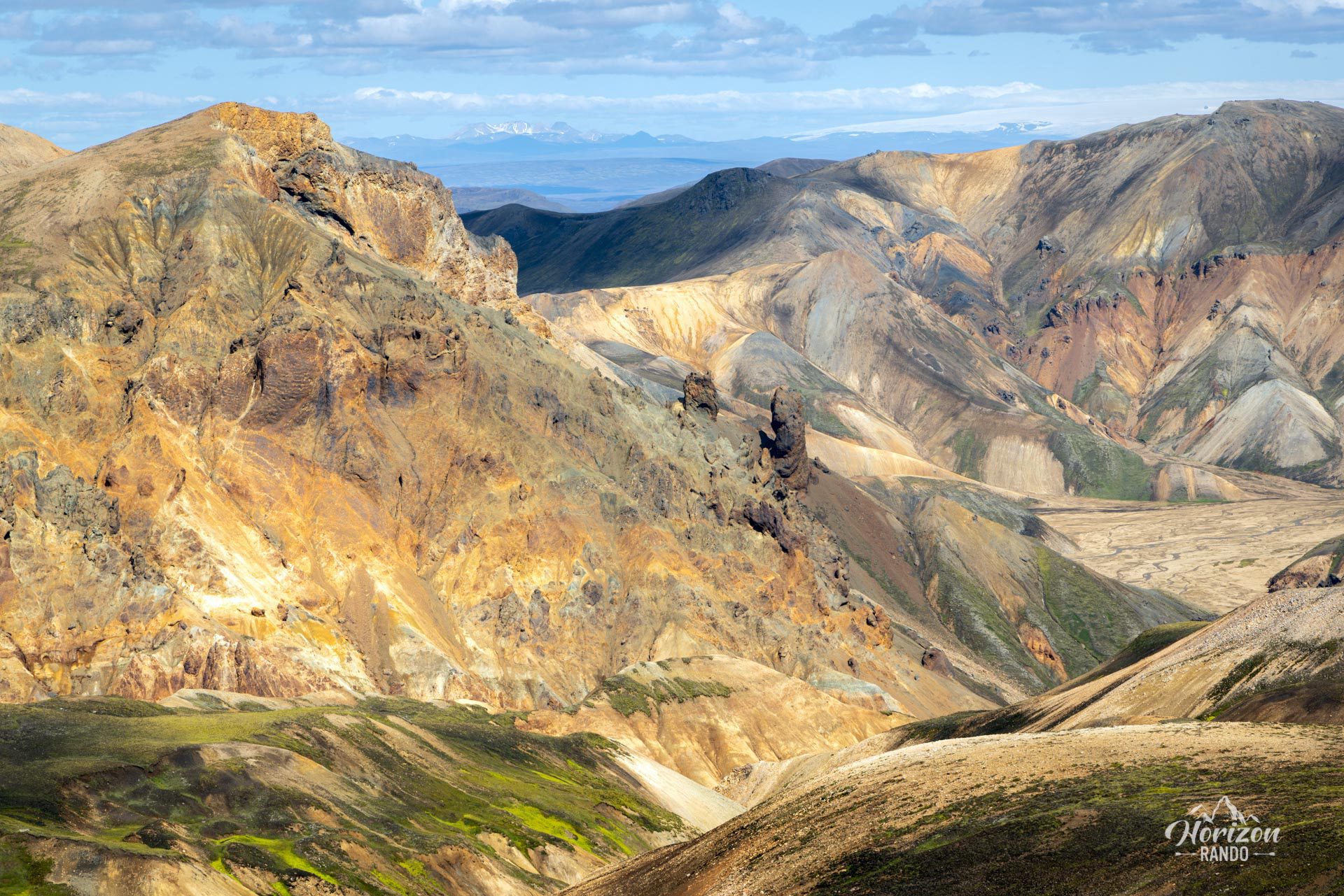
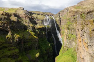
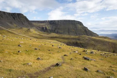
I have included a 2-kilometer round-trip detour in the itinerary to discover the extraordinary Uppgönguhryggur ridge (see photos): a truly remarkable bonus! The trail starts just opposite the junction leading to the summit of Skalli. It's a must-see that you won't want to miss!
Map and elevation profile of the hike
Skalli Hike
Difficulties of the hike
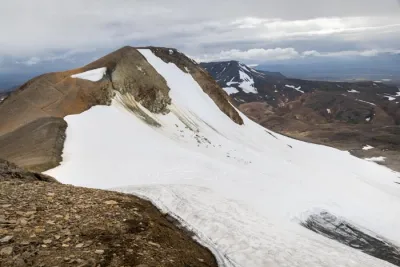
The circuit follows a well-marked trail and takes the route of the iconic Laugavegur trek on the way back. There are no major difficulties, except for the route's length and the possible presence of snowfields on Skalli's slopes at the beginning of the season (usually until early July). Feel free to ask the rangers at the Landmannalaugar campsite for information before setting off.
What you'll love
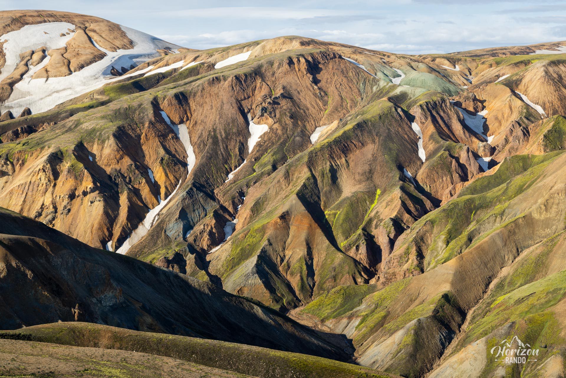
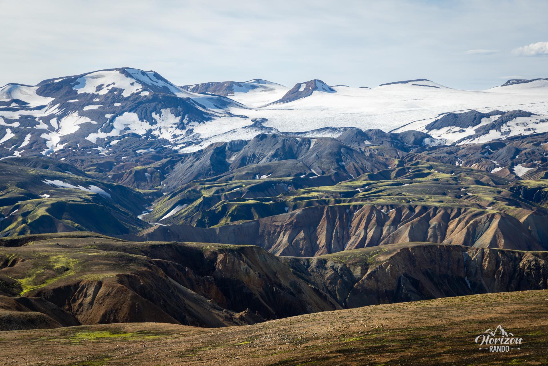
- Breathtaking views of Landmannalaugar: Stunning vistas of the multicolored rhyolite mountains, lava fields, and glacial valleys.
- The incredible Uppgönguhryggur ridge, accessible via a 2-kilometer round-trip detour.
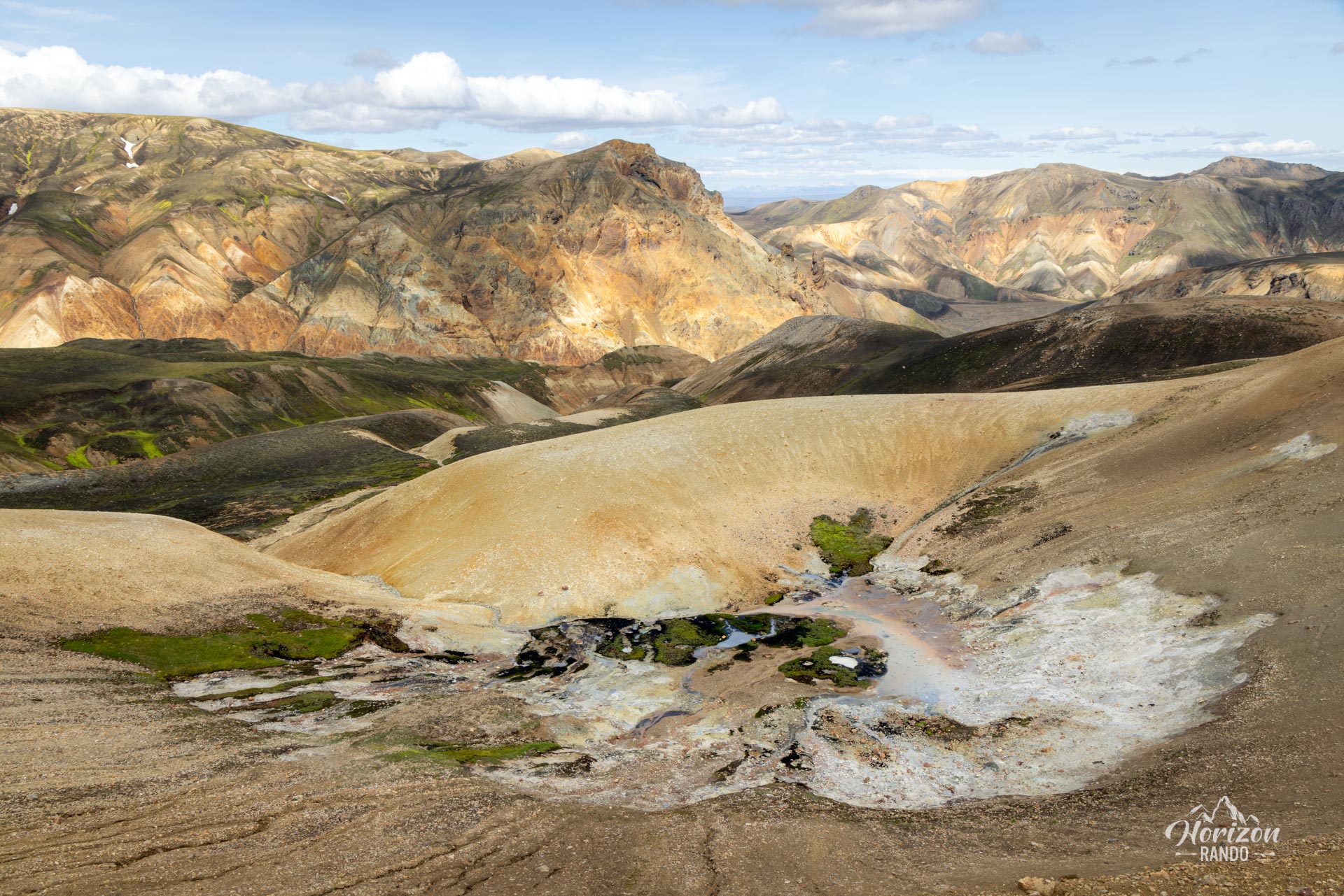
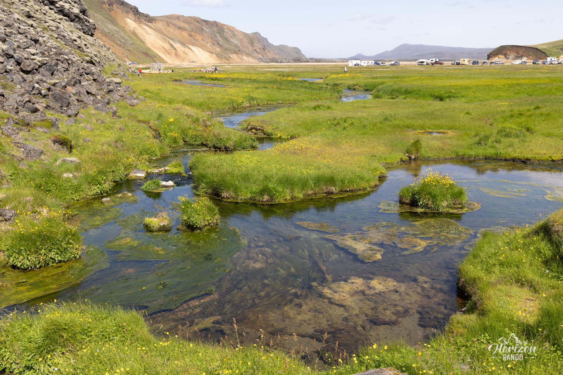
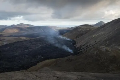
- Fascinating geological diversity: Geothermal activity, steam vents, colorful rhyolite mountains, and impressive lava fields.
- Few visitors: Unlike the popular peaks in the region, this trail allows you to enjoy extraordinary panoramic views in complete privacy.
- Relaxing hot spring: Soothe your muscles after the hike in the natural hot spring at Landmannalaugar.
Practical information
Getting to Landmannalaugar
The roads in the highlands are only open in the summer. Several bus companies provide connections to Reykjavik. If you prefer to drive, you will need a 4WD vehicle to travel on F-roads. There are three options available to you:
- The F208 road from the north: the easiest option, with no river crossings.
- The F225 road: more picturesque but requires crossing several shallow rivers.
- The F208 road from the south: crosses several medium-depth rivers.
See my dedicated page on driving in the Highlands for more information.
Parking
It is now necessary to reserve a parking space before your arrival.
Hiking in Landmannalaugar
Check out my Landmannalaugar guide to help you choose your hikes.
Photos
See all 23 photos →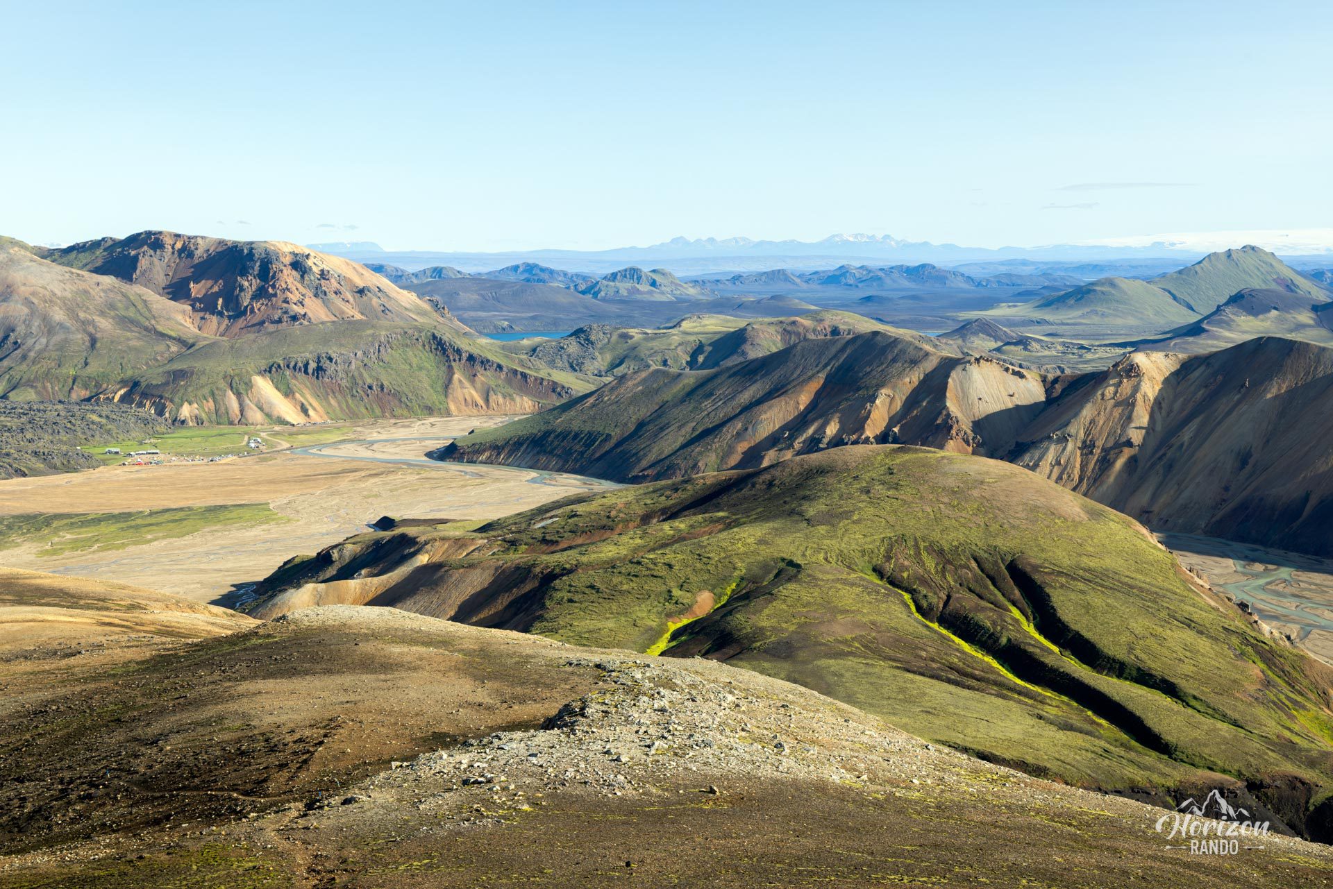
More hikes to do in Iceland
Nearby hikes














Printed from www.horizonrando.fr/en/iceland/skalli/