





Fagradalsfjall Volcano Hike
Key facts about the hike
- Difficulty
- Moderate Hikes are rated from very easy to very hard: my difficulty scale
- Duration
- 5h30 Estimated time, short breaks included (photos, water, snacks), picnic not included: how it is calculated
- Distance
- 19.3km
- out and back
- Elevation gain
- 580m
- Type of route
- Out and back
- Maximum altitude
- 330 m
- Vertiginous Five levels, depending on how exposed the route is: the levels in detail
- No
- Marked
- Partially
- Popularity
- Low
- Region
- West
- Start point
- 63.86649, -22.31505
- Activity
- Hiking
Hike overview
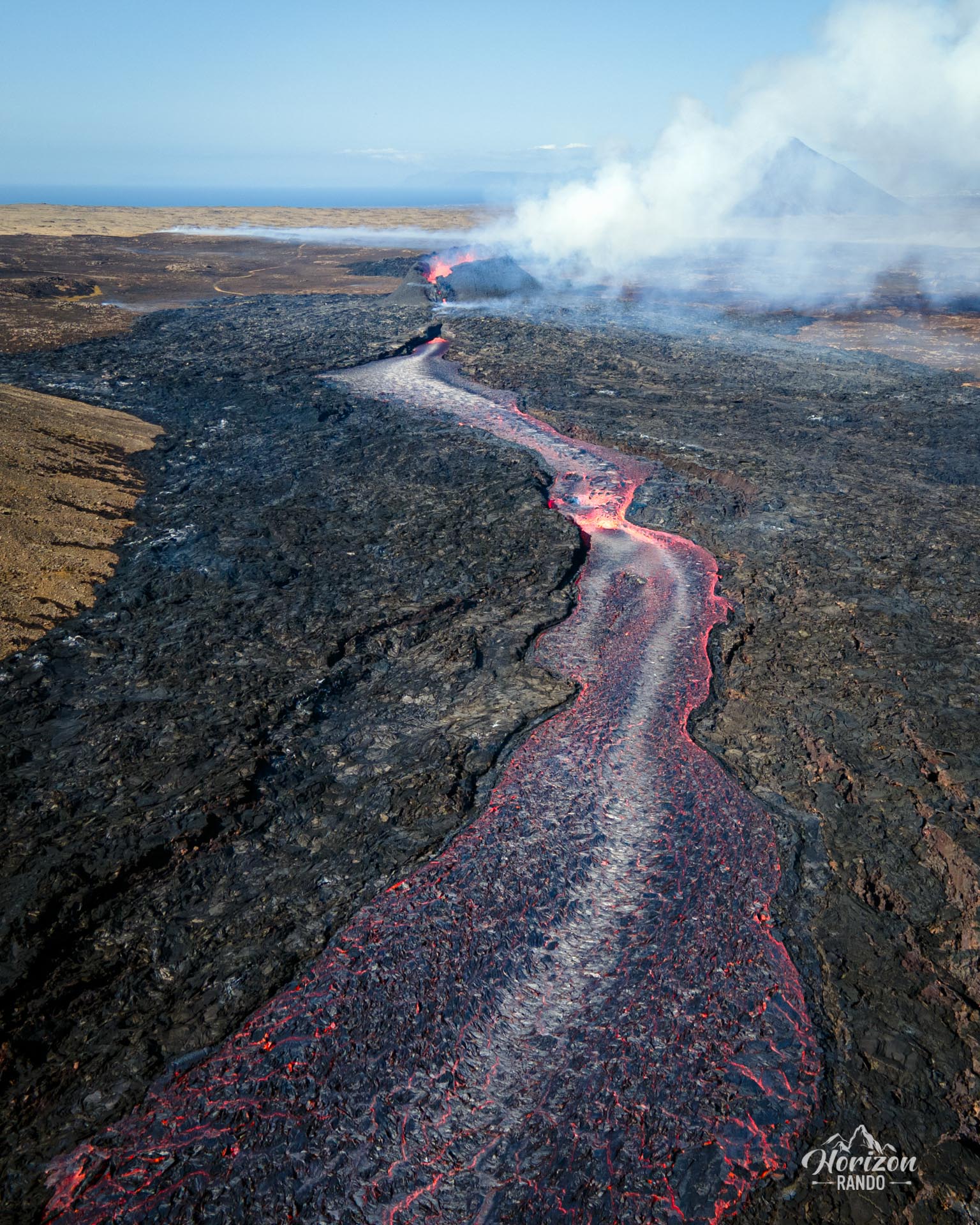
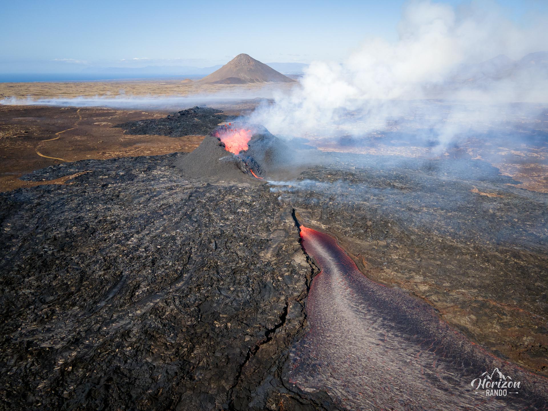
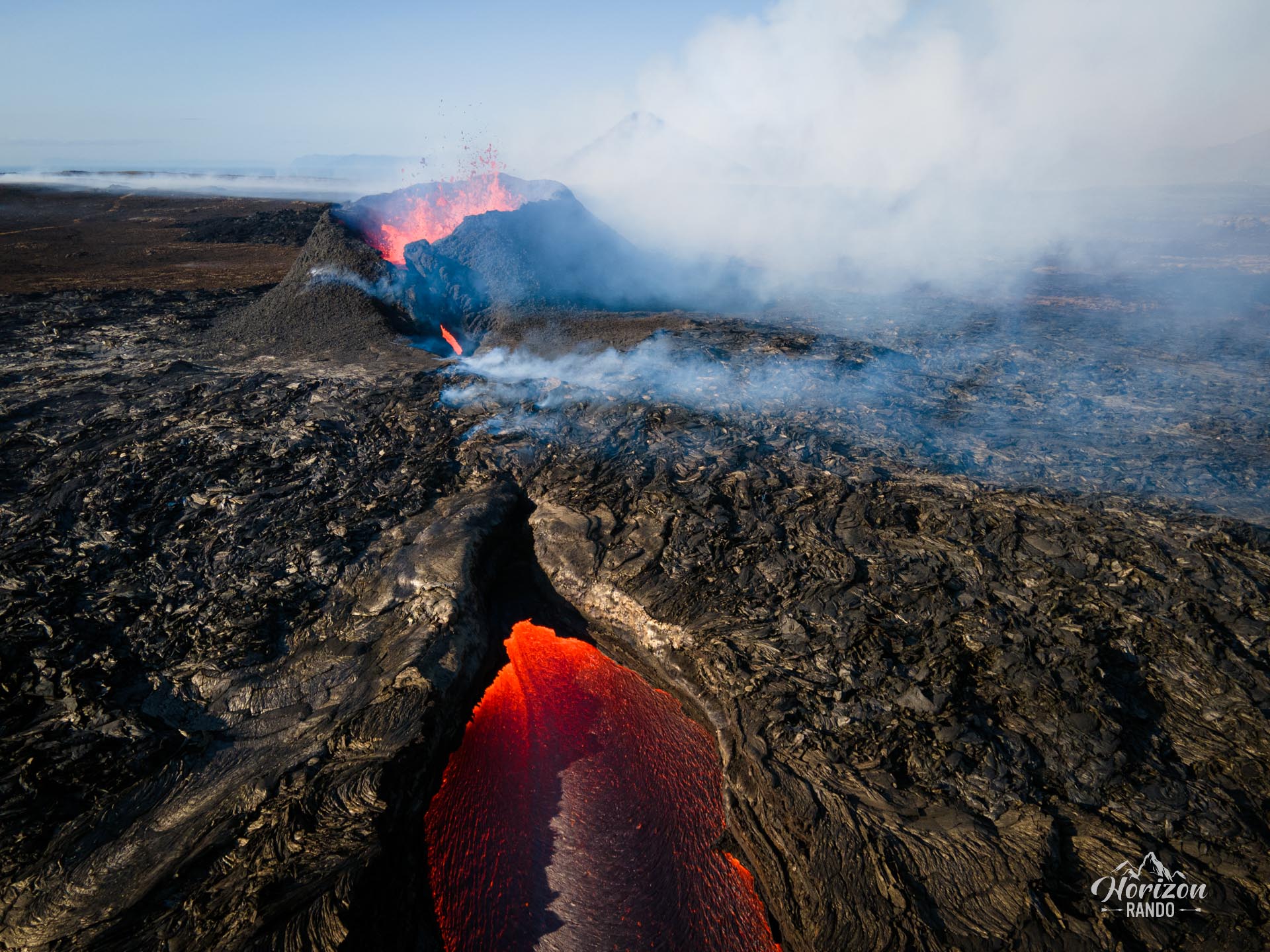
Fagradalsfjall is an active volcano that formed during the last Ice Age. It is located on the Reykjanes Peninsula, about 40 kilometers from Reykjavík. The peninsula had not experienced a volcanic eruption in over 800 years until March 19, 2021. On that day, an eruptive fissure appeared in Geldingadalir, south of Mount Fagradalsfjall. It sporadically released lava for about six months.
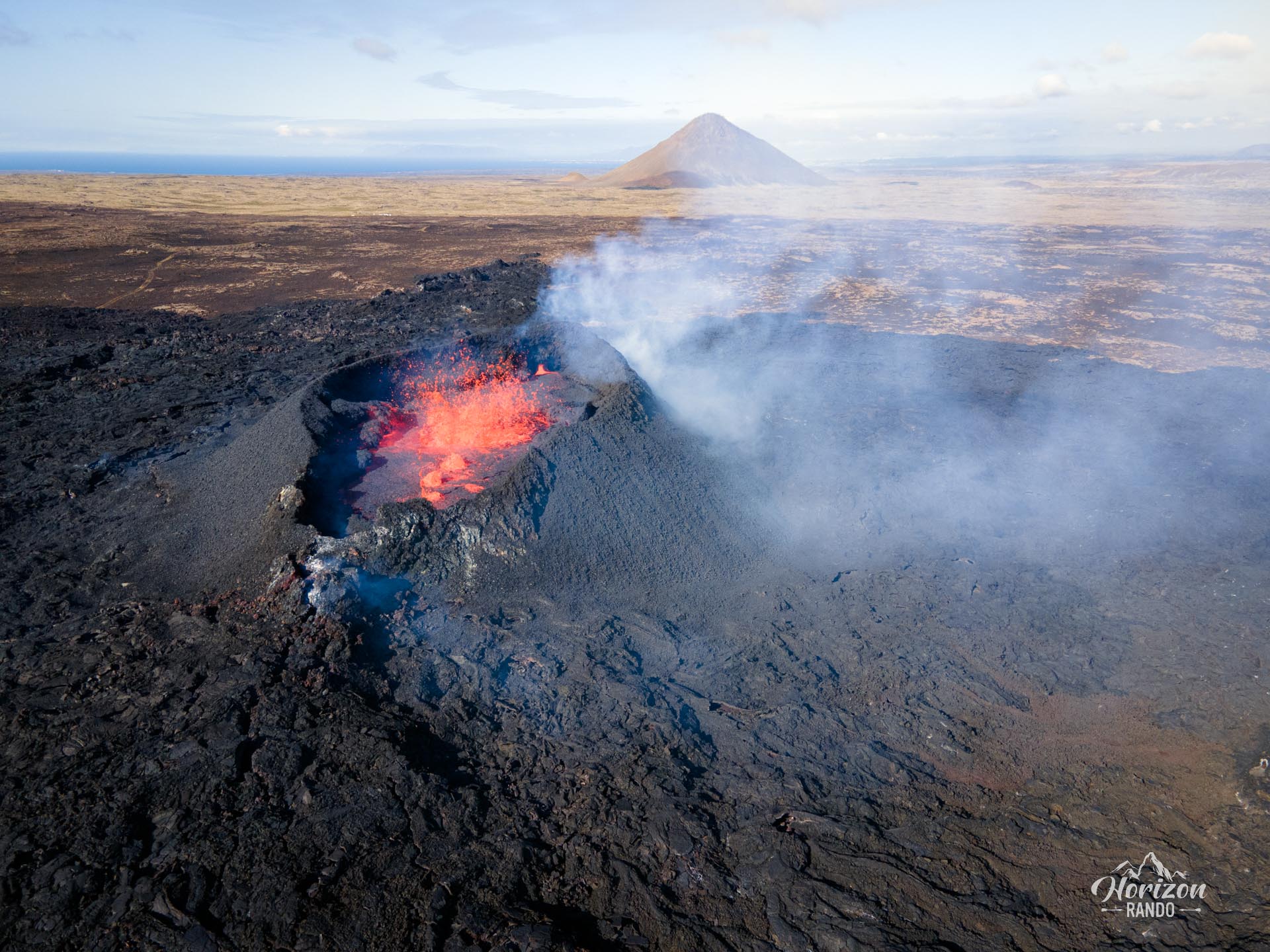
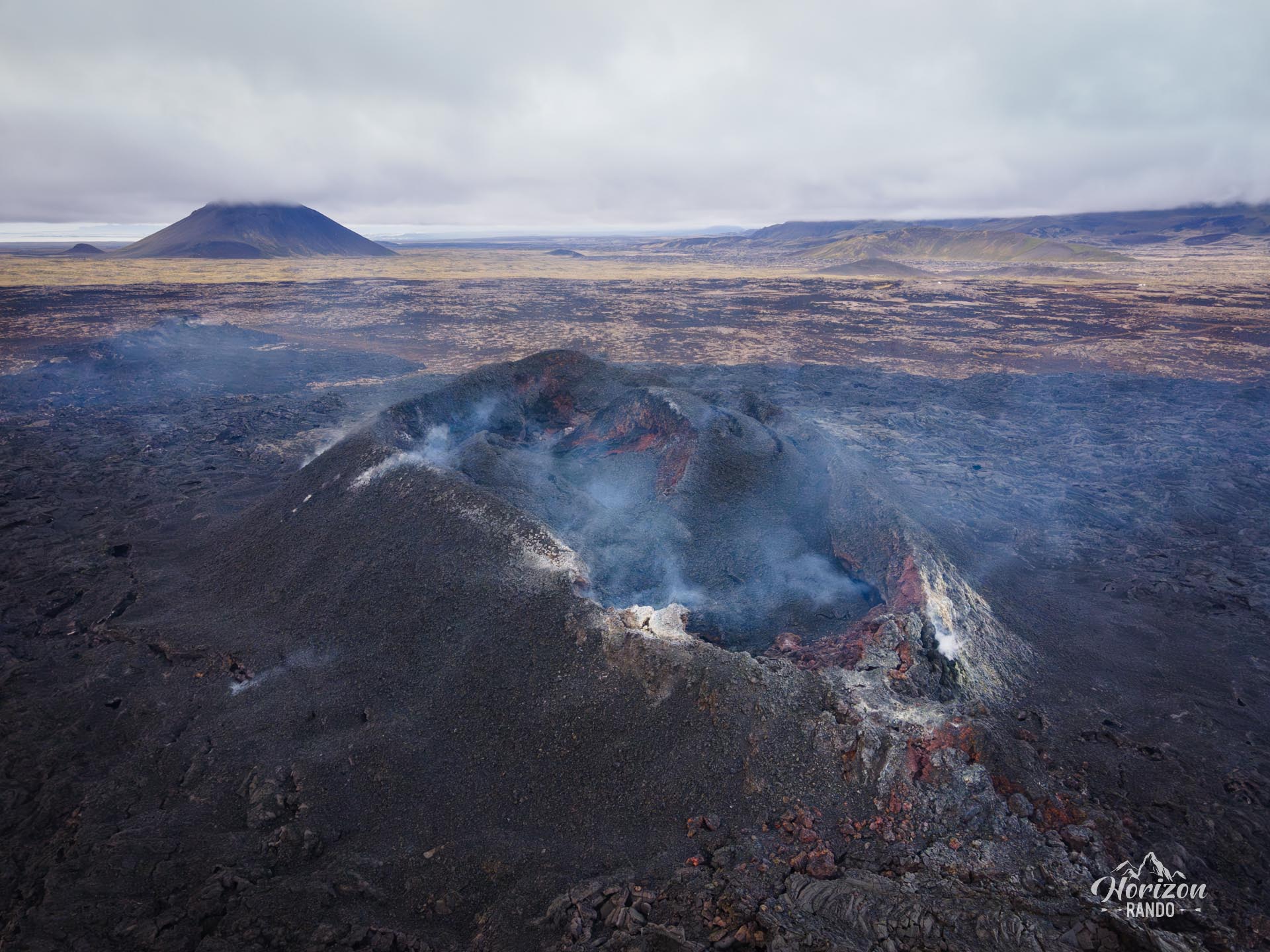
A similar eruption took place on August 3, 2022, lasting three weeks. This was followed by a third eruption north of Fagradalsfjall near Litli-Hrútur on July 10, 2023. This eruption continued for four weeks.
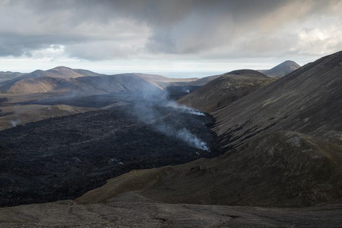
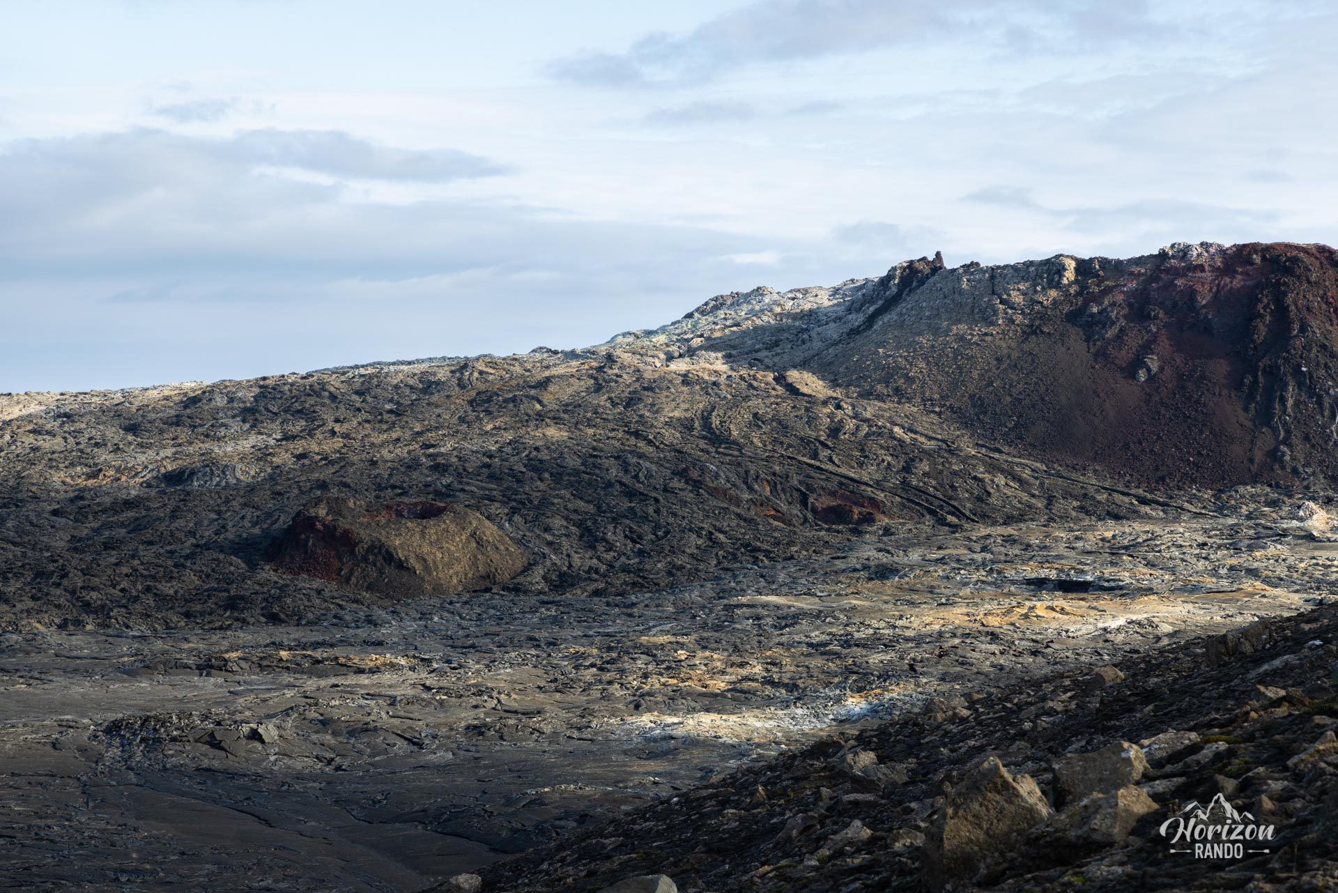
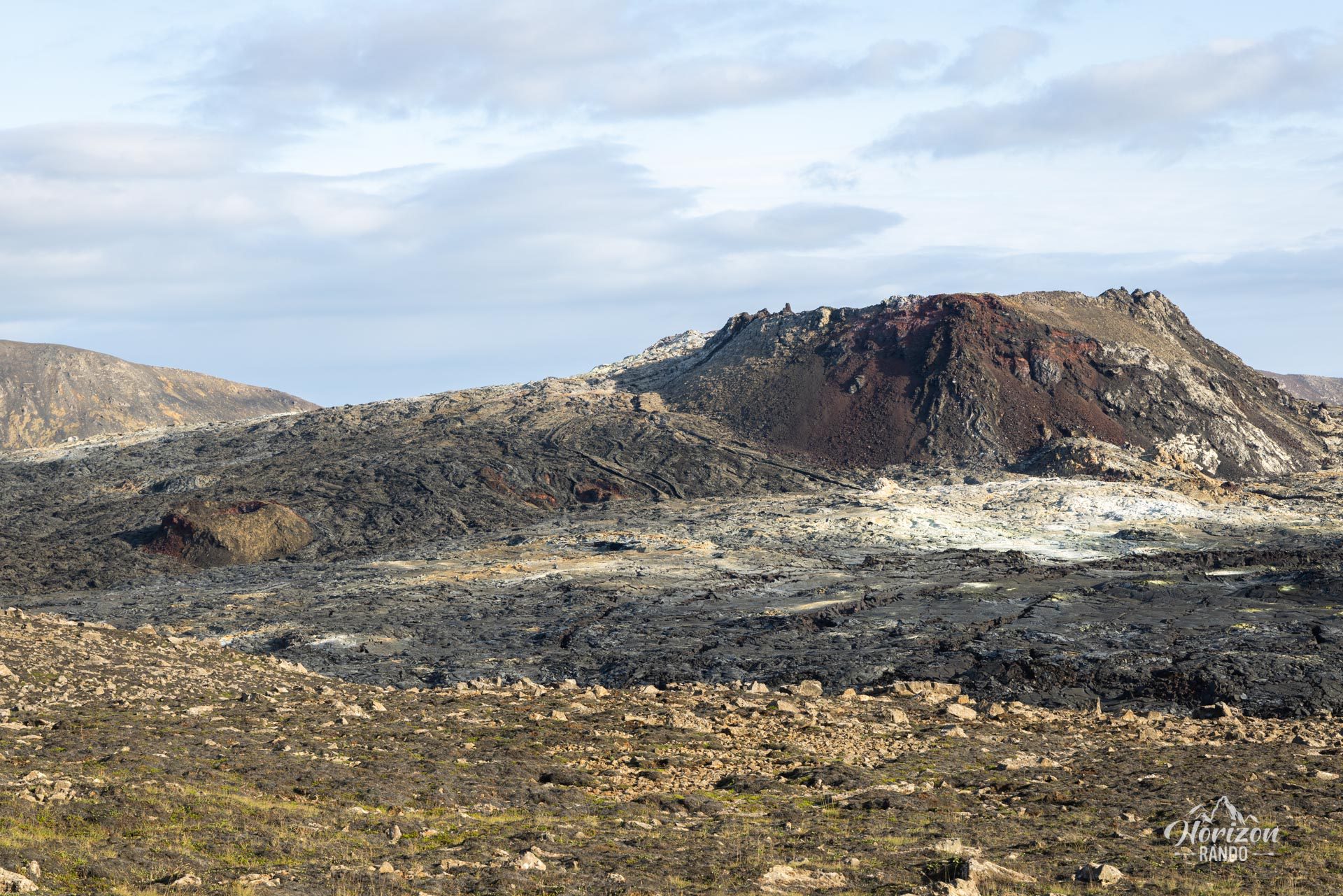
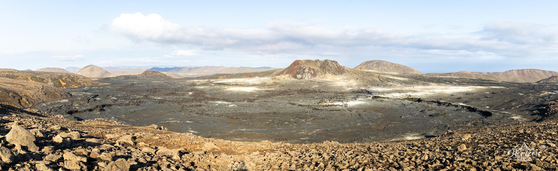
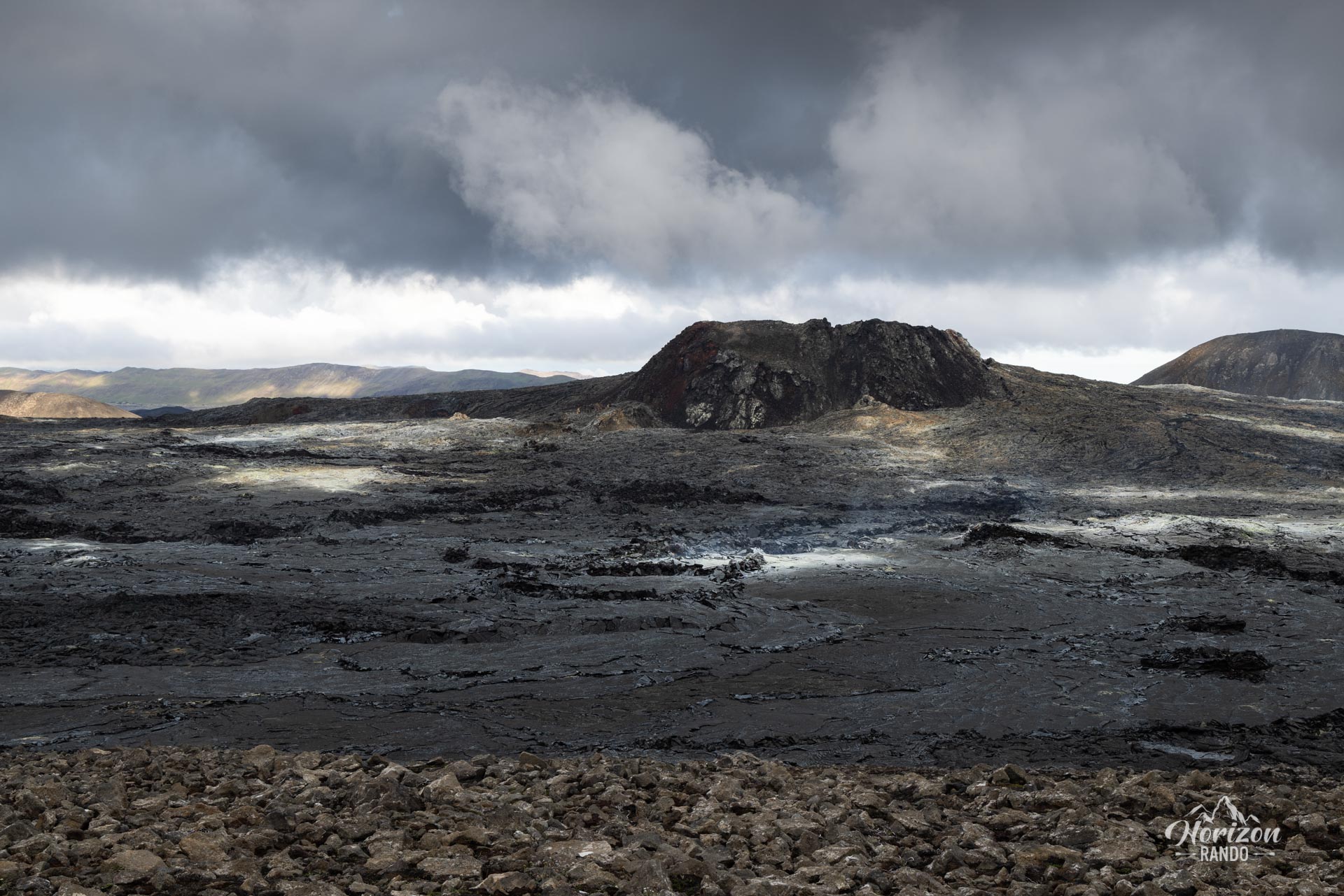
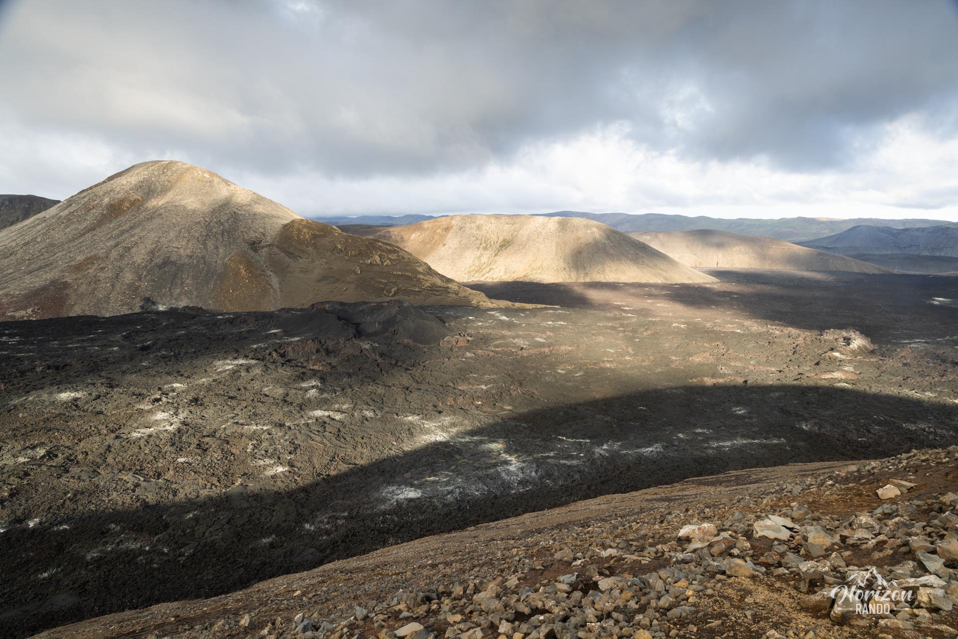
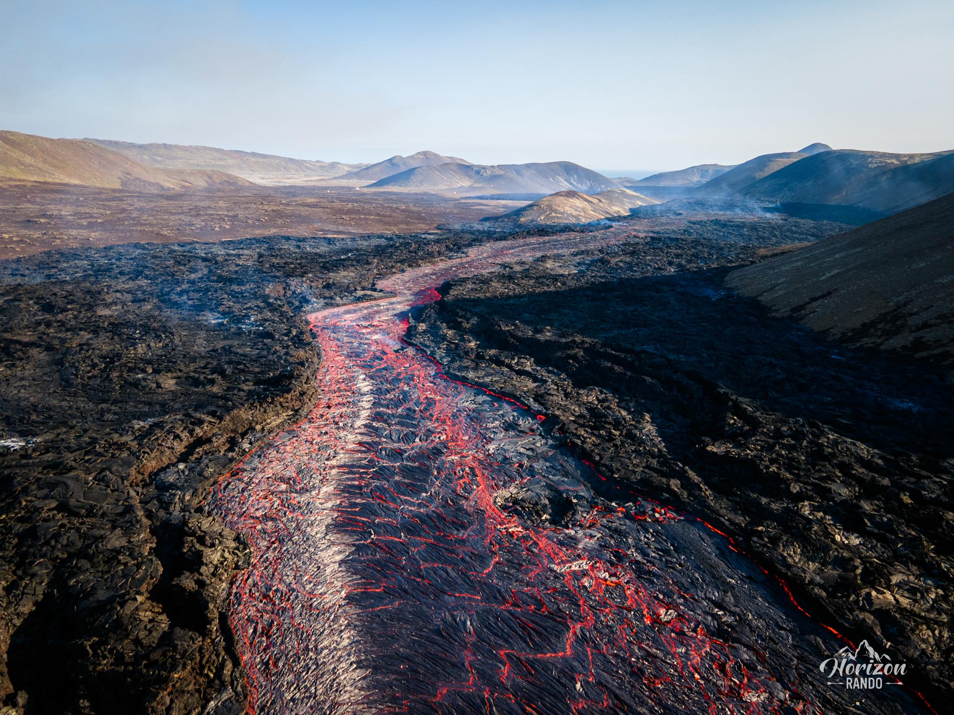
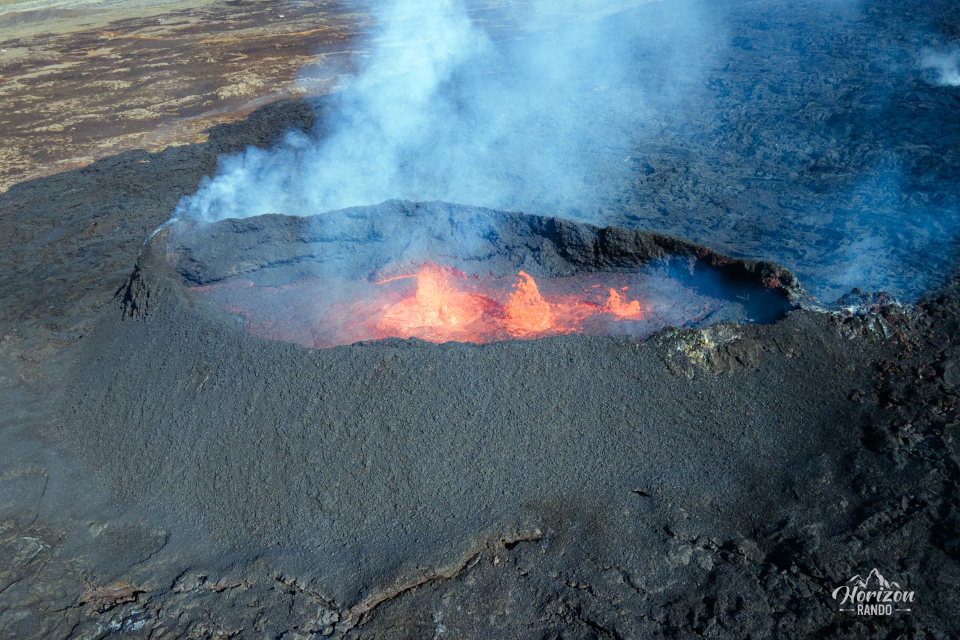
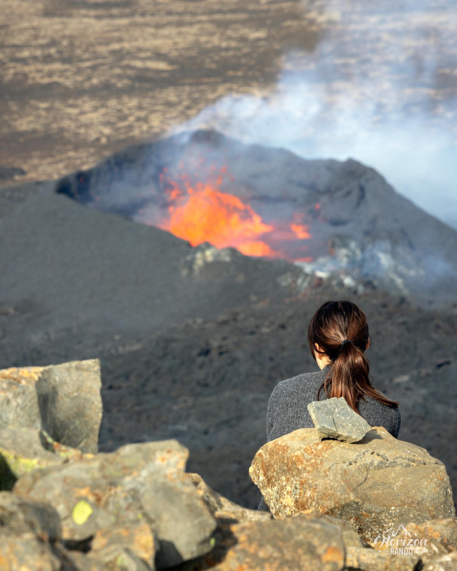
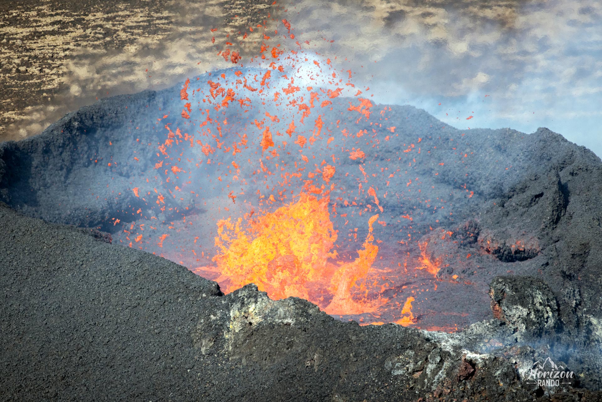
This hike takes you to various viewpoints offering breathtaking vistas of these recent eruptions and the surrounding lava fields. Since the Reykjanes Peninsula has experienced regular seismic activity since 2021, the route may suddenly change due to a new eruption.
Map and elevation profile of the hike
Fagradalsfjall Volcano Hike
Difficulties of the hike
Although the route is technically easy and consists mainly of wide trails, its significant length should not be overlooked.
What you'll love
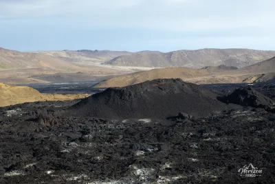
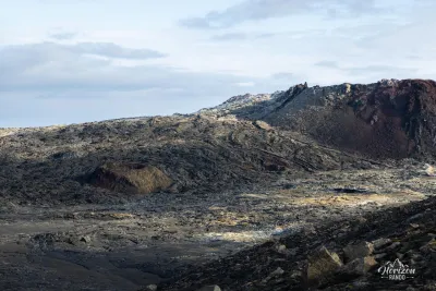
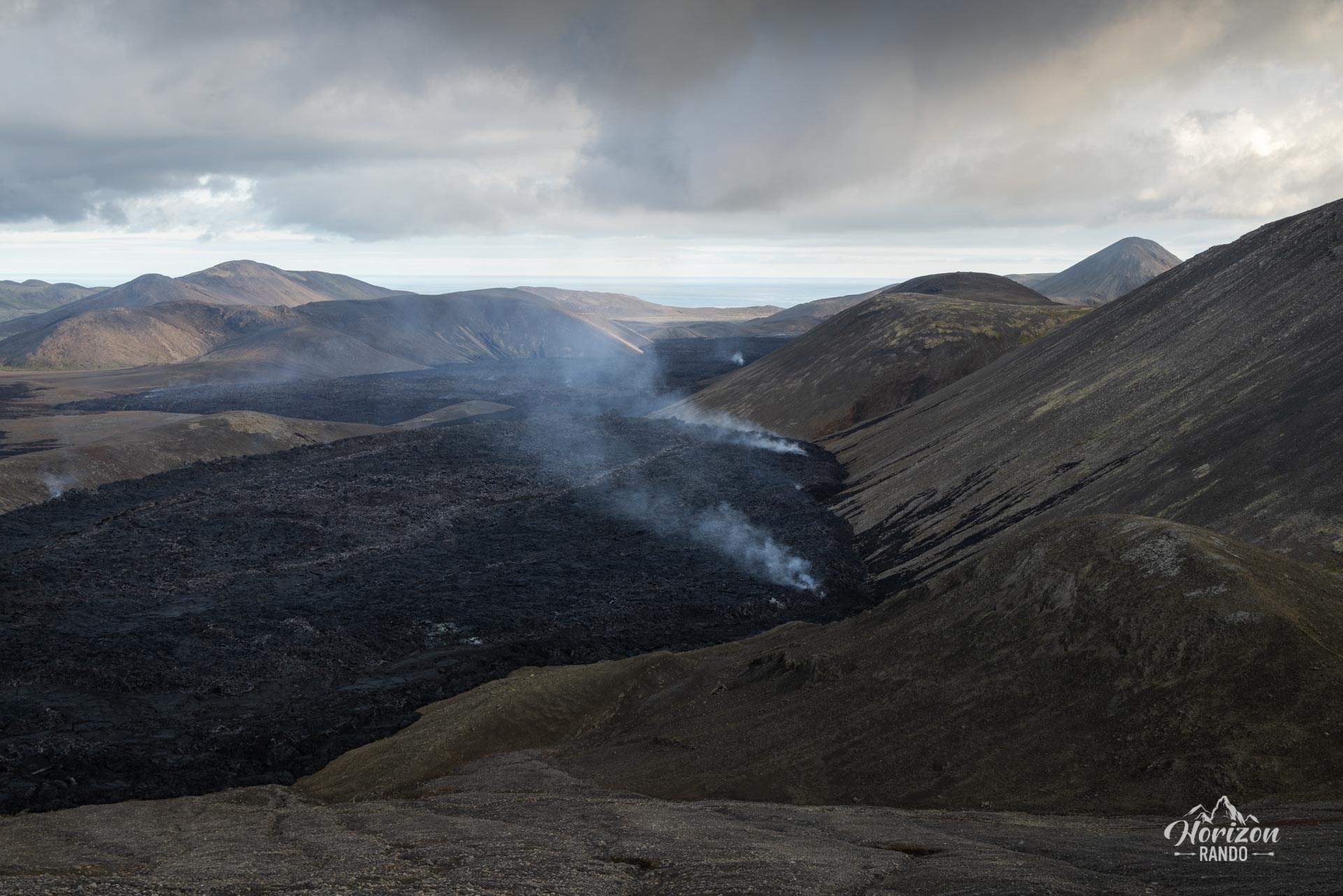
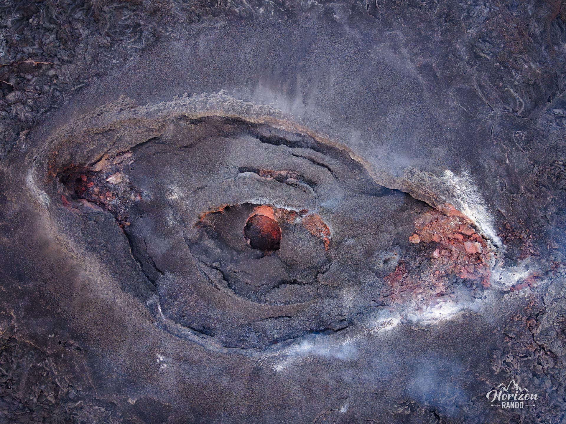
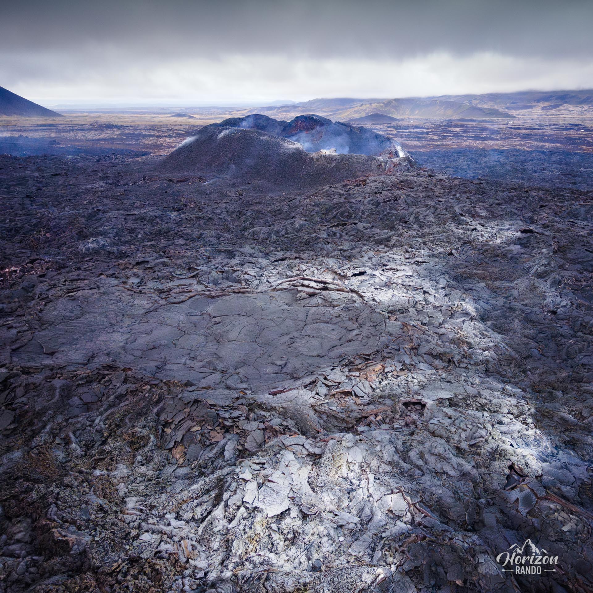
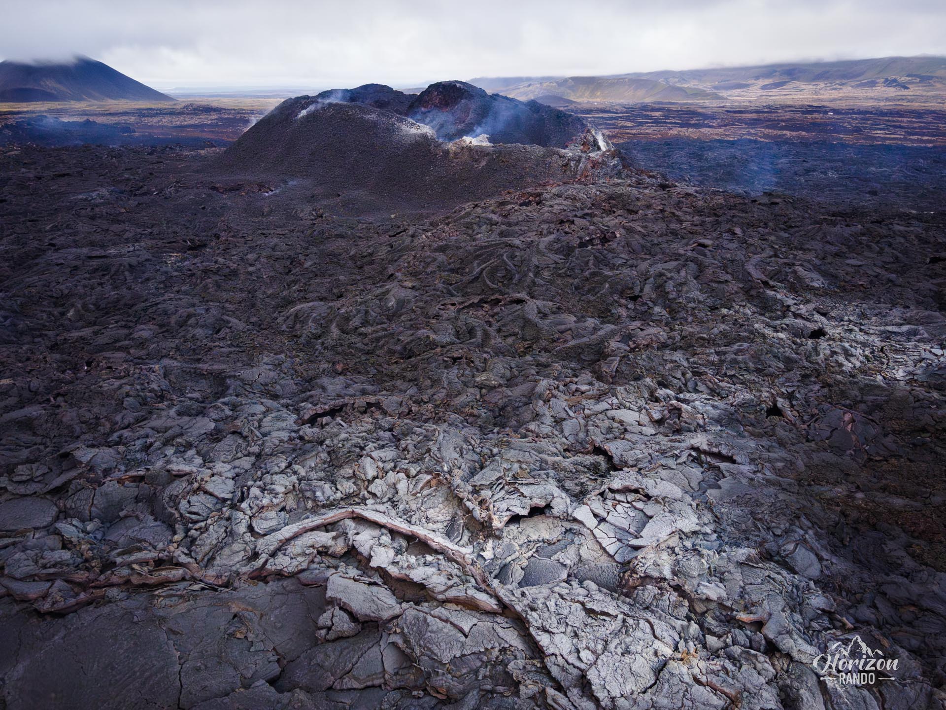
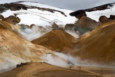
- Spectacular recent volcanic landscapes: You will walk through vast fields of freshly formed lava, some of which are still smoking.
- Exceptional panoramic views of the craters: From high vantage points, you can look out over various eruption zones and appreciate the scale of the volcanic phenomenon that shaped these landscapes.
- Proximity to Reykjavik: Located just 40 km from the capital and 30 minutes from Keflavik Airport, this site is easily accessible during a short stay in Iceland.
Practical information
Site evolution
This hike was completed in 2023, but the Reykjanes Peninsula has been very active in the years since. Therefore, the route described here may have changed as a result of subsequent eruptions. In any case, you will find a marked trail onsite that allows you to explore the most recent craters and lava flows.
Photos
See all 19 photos →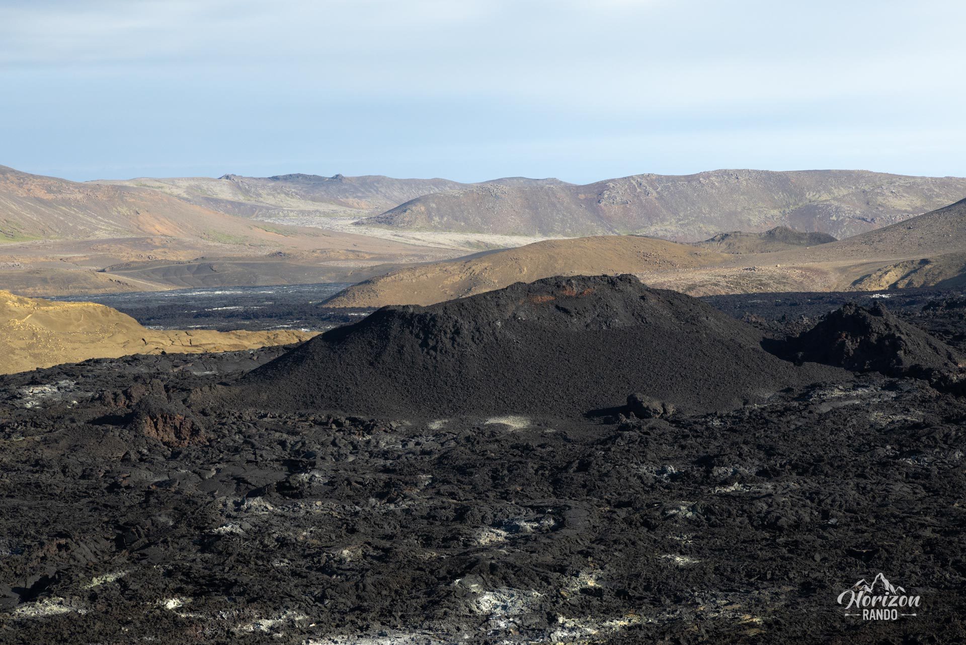
More hikes to do in Iceland
Nearby hikes
















Printed from www.horizonrando.fr/en/iceland/fagradalsfjall-volcano/