





Snækollur Hike
Key facts about the hike
- Difficulty
- Moderate Hikes are rated from very easy to very hard: my difficulty scale
- Duration
- 3h15 Estimated time, short breaks included (photos, water, snacks), picnic not included: how it is calculated
- Distance
- 5.1km
- out and back
- Elevation gain
- 600m
- Type of route
- Out and back
- Maximum altitude
- 1,488 m
- Vertiginous Five levels, depending on how exposed the route is: the levels in detail
- Slightly
- Marked
- Yes
- Popularity
- Low
- Region
- Highlands
- Start point
- 64.65008, -19.26094
- Activity
- Hiking
Hike overview
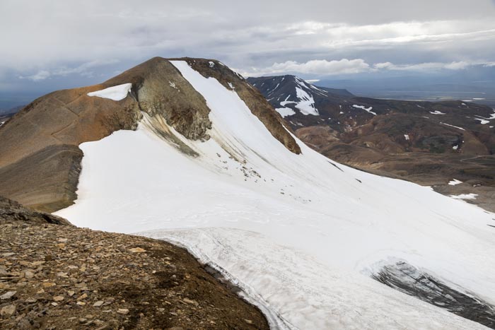
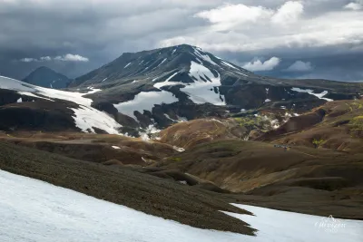
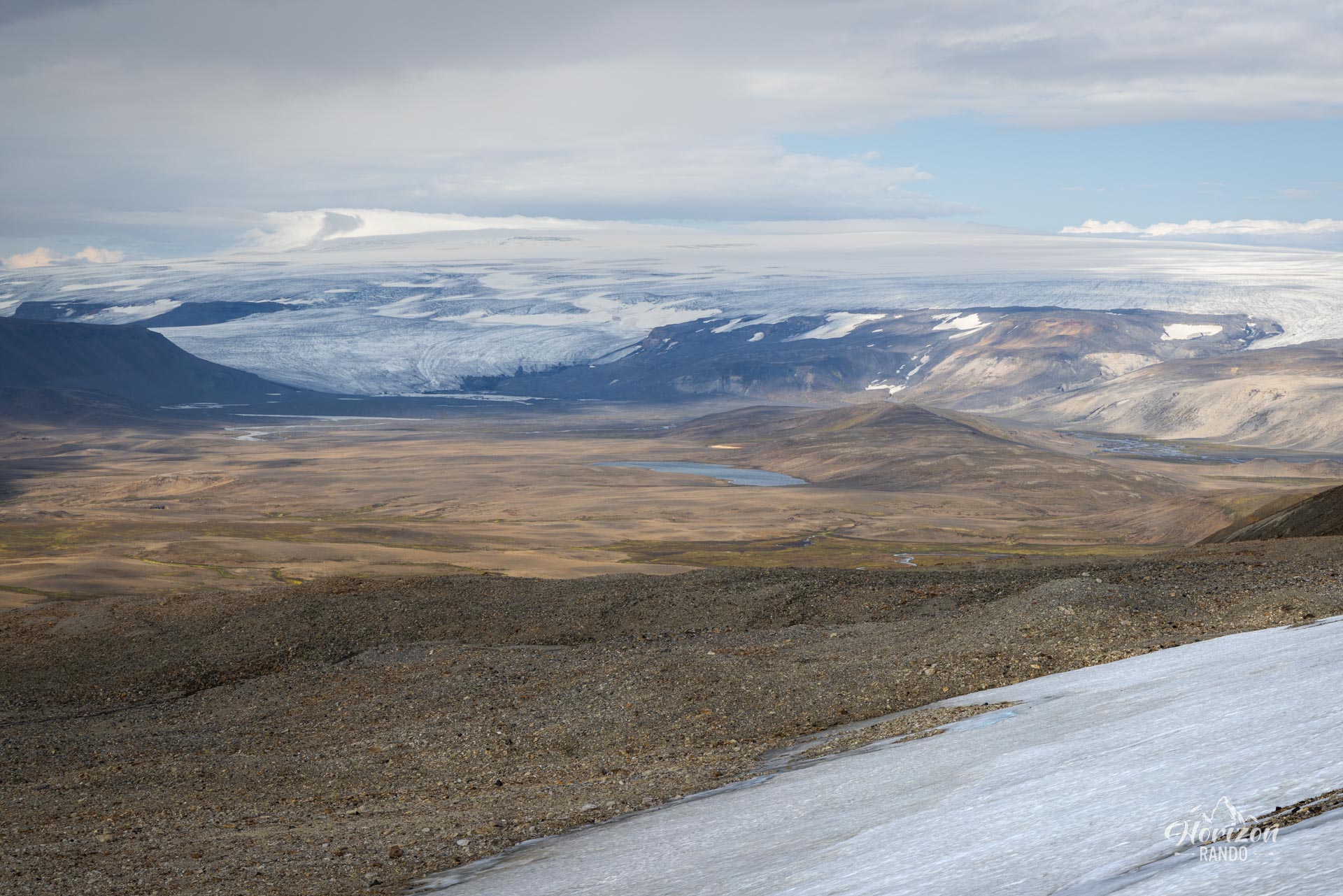
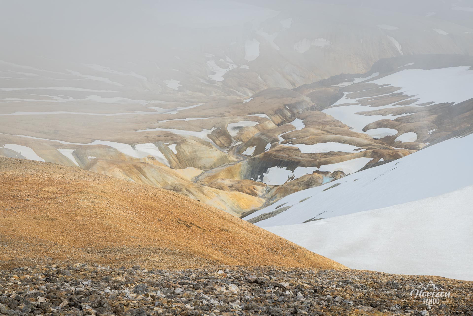
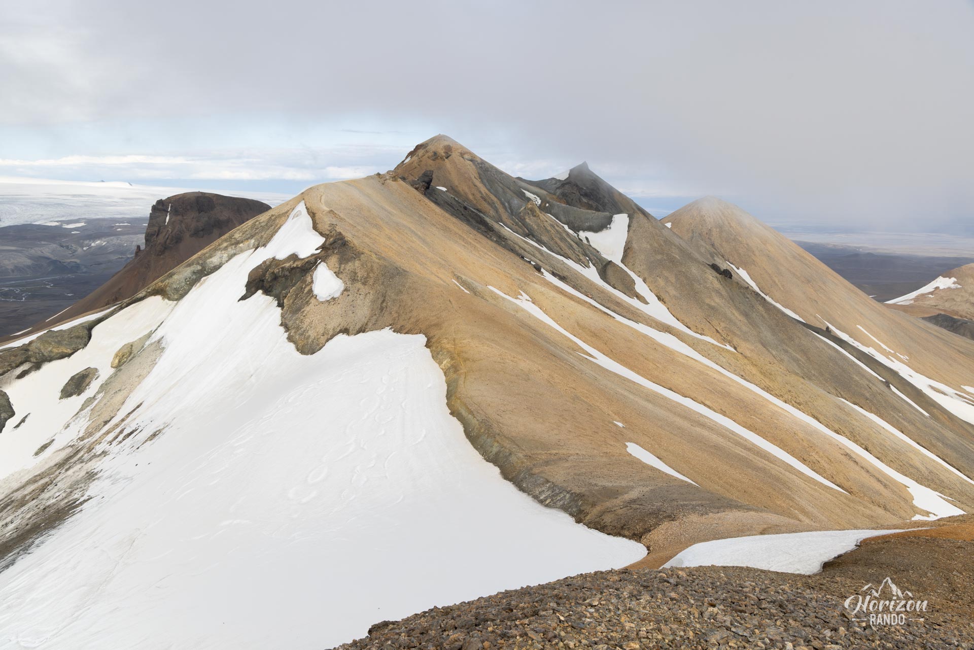
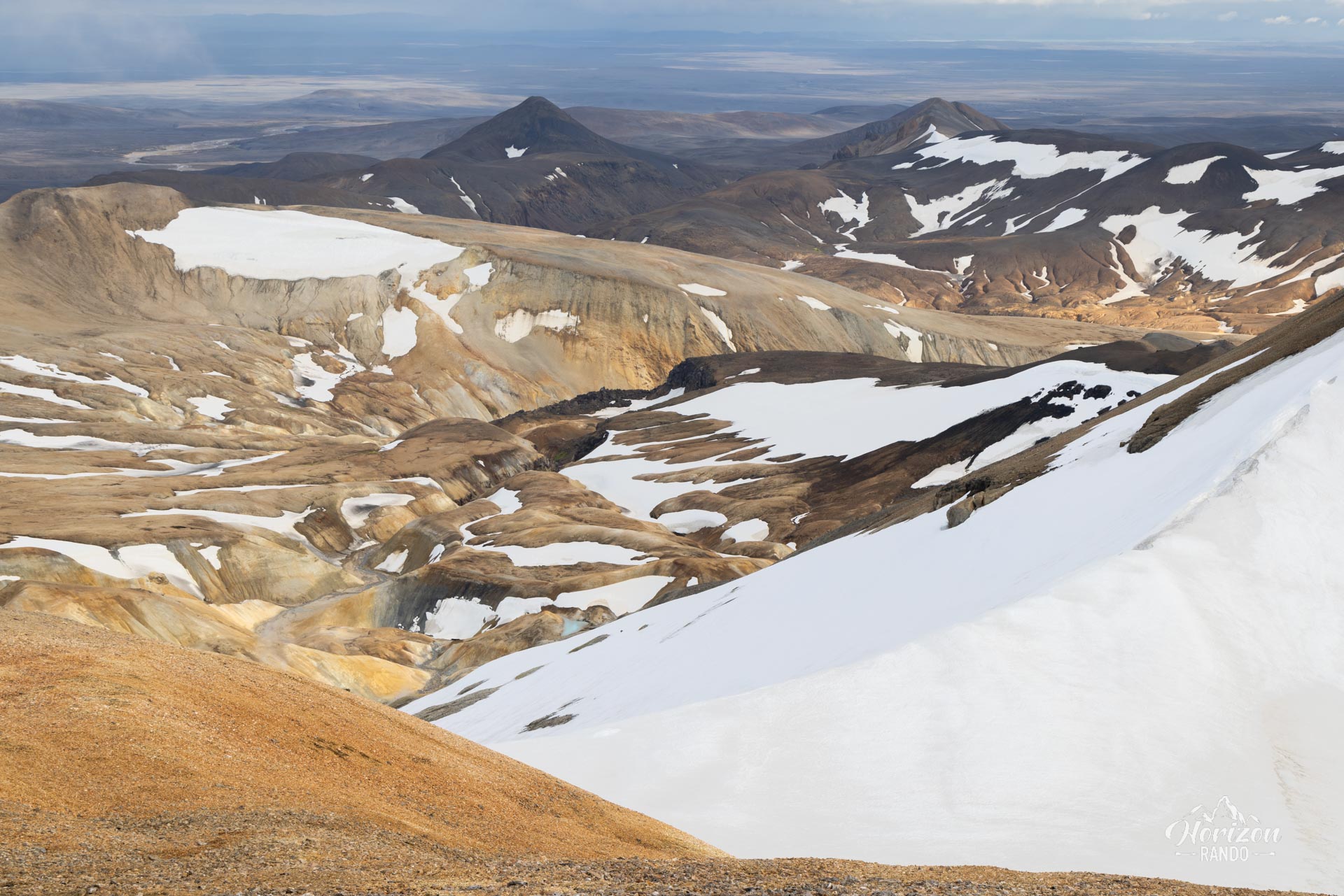
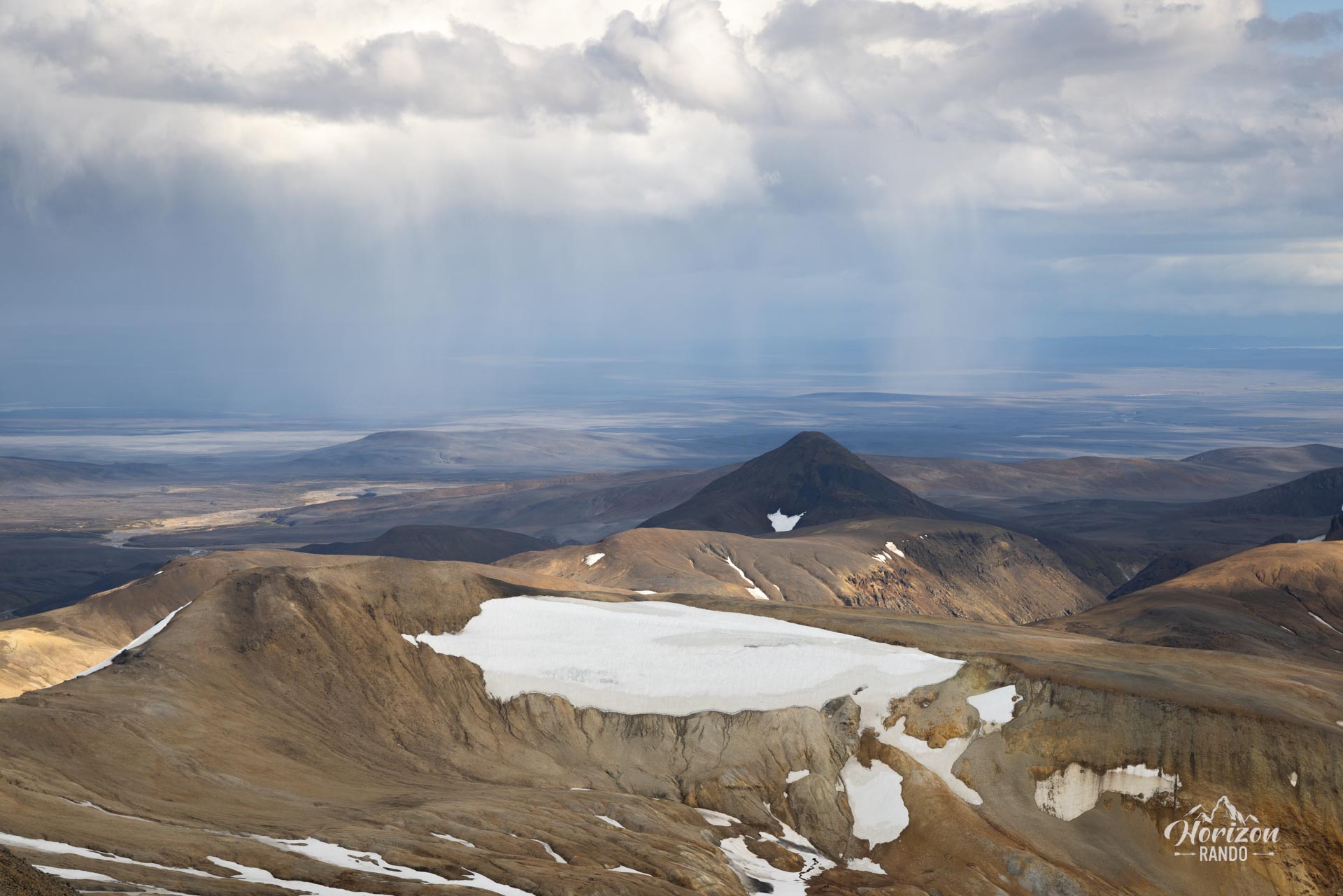
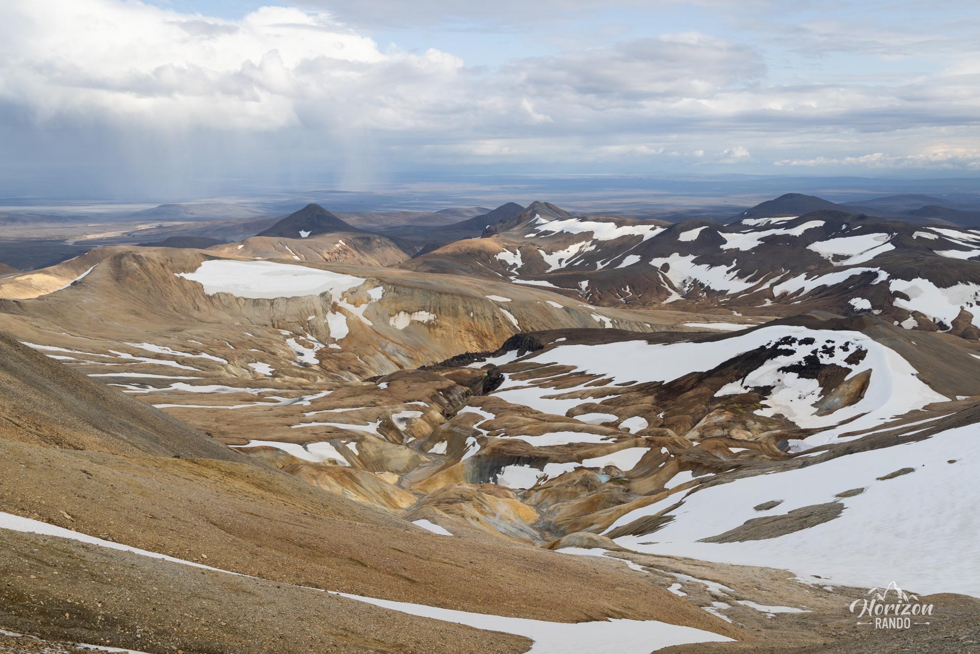
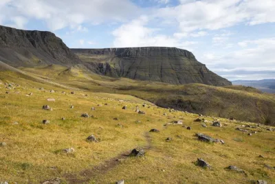
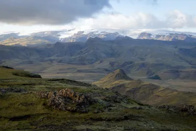
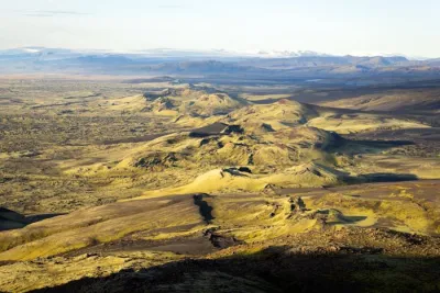
Snækollur (1,488 m) is the highest peak in the Kerlingarfjöll volcano and mountain range in the Icelandic highlands. From the summit and along the ridge, you can enjoy breathtaking panoramic views with an unobstructed horizon for dozens of kilometers. Despite its beautiful orange volcanic landscapes, this hike remains a hidden gem of Kerlingarfjöll, rarely visited by hikers.
Map and elevation profile of the hike
Snækollur Hike
Difficulties of the hike
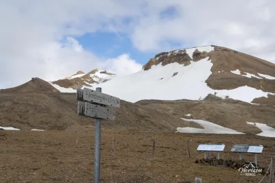
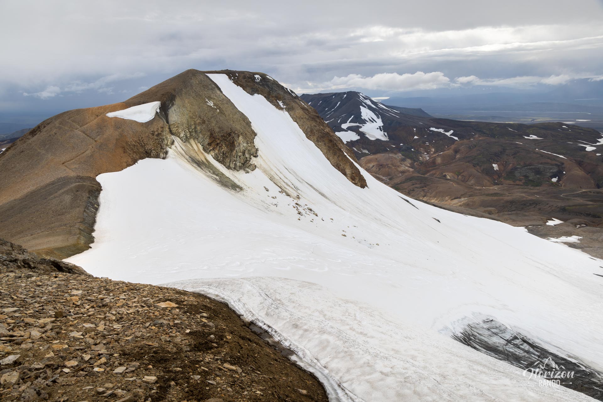
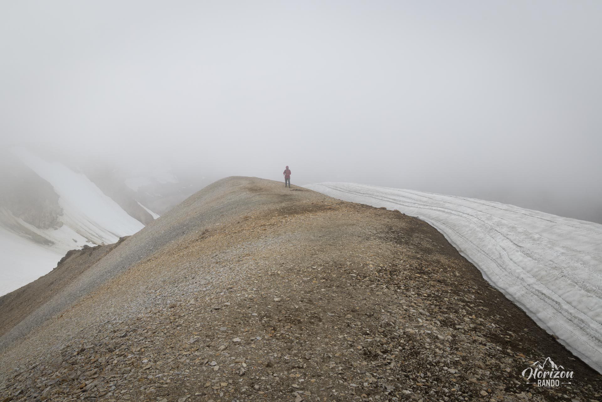
The hike follows a well-marked trail. The first part is particularly steep up to the ridge, so hiking poles are highly recommended. The terrain can be slippery in places due to persistent snowfields. Before setting off, be sure to check the snow conditions. Generally, the trail is passable without specific equipment (crampons or an ice axe) from mid-July to mid-September.
What you'll love
- Exceptional panoramas: Unforgettable views from the summit of Kerlingarfjöll and the surrounding glaciers, which offer a unique perspective on the Icelandic Highlands.
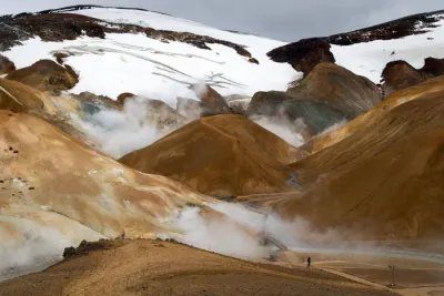
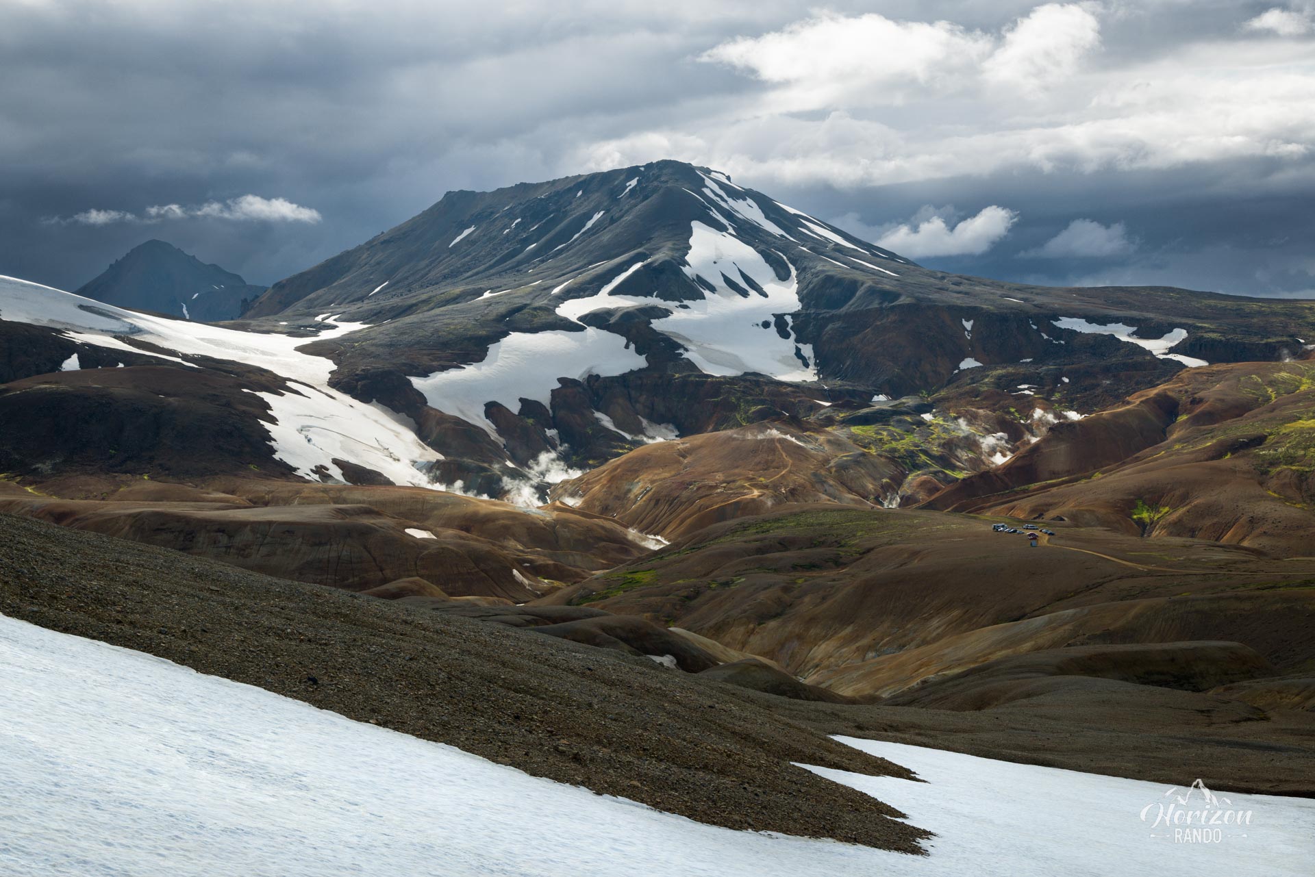
- Unique volcanic landscapes: Discover the orange rhyolite mountains contrasting with the surrounding snow.
Practical information
Access
Take Route 35 (formerly F35), then follow F347. These F-roads are only accessible in the summer and require a four-wheel-drive vehicle. The route is straightforward with no fords, so it is accessible to any 4WD vehicle.
See the Driving in the Highlands section for more information.
Photos
See all 11 photos →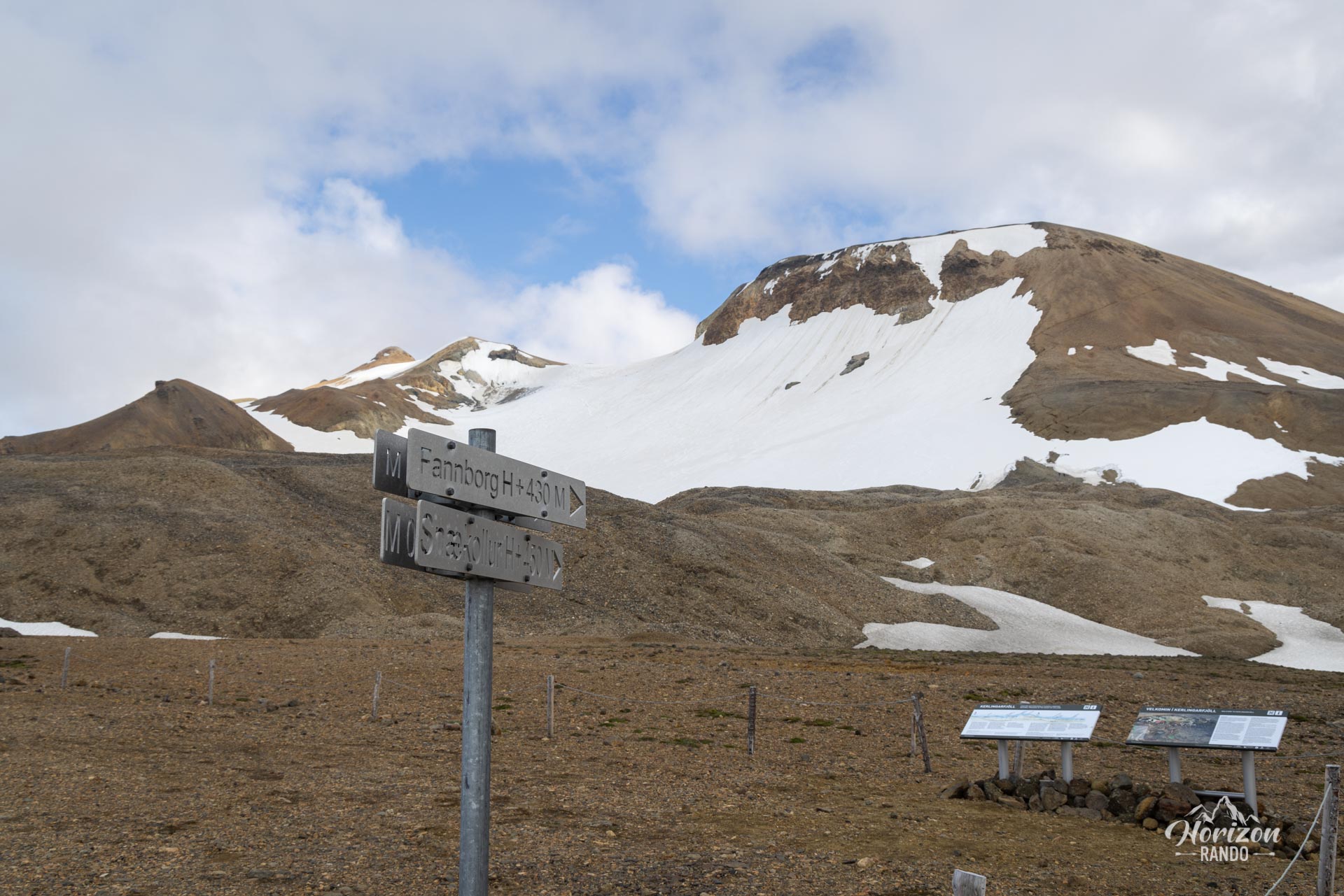
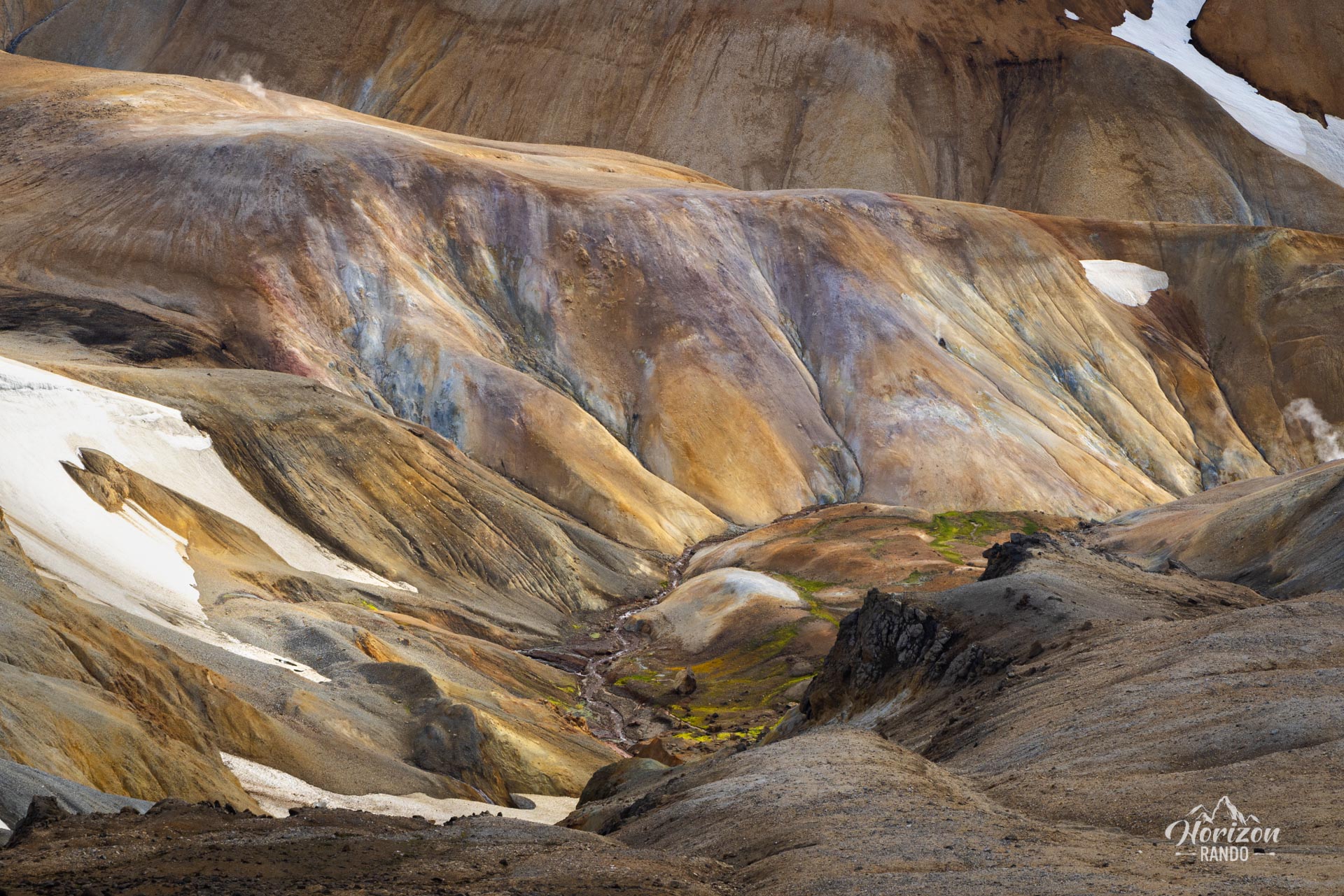
More hikes to do in Iceland
Nearby hikes
















Printed from www.horizonrando.fr/en/iceland/snaekollur/