






Bláhnúkur and Brennisteinsalda Hike
Key facts about the hike
- Difficulty
- Moderate Hikes are rated from very easy to very hard: my difficulty scale
- Duration
- 4h Estimated time, short breaks included (photos, water, snacks), picnic not included: how it is calculated
- Distance
- 9.9km
- Elevation gain
- 620m
- Type of route
- Loop
- Maximum altitude
- 945 m
- Vertiginous Five levels, depending on how exposed the route is: the levels in detail
- Slightly
- Marked
- Yes
- Popularity
- Moderate
- Region
- Highlands
- Start point
- 63.99055, -19.06025
- Activity
- Hiking
Hike overview
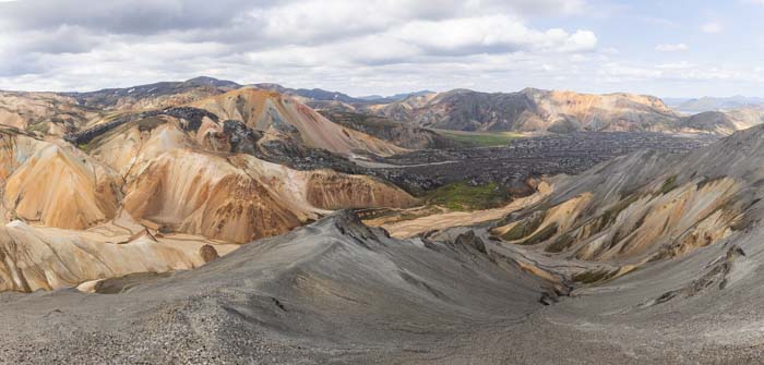
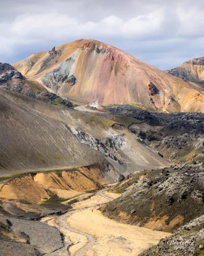
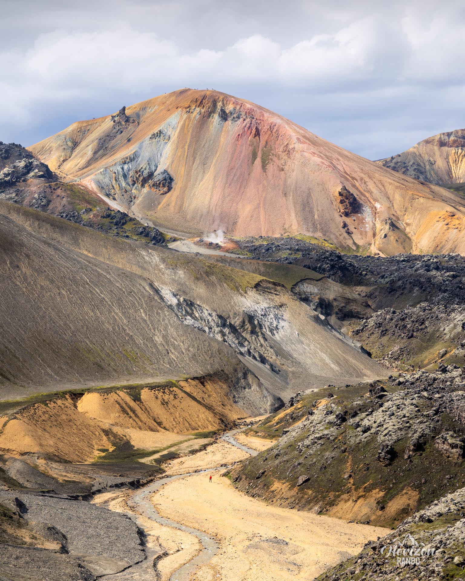
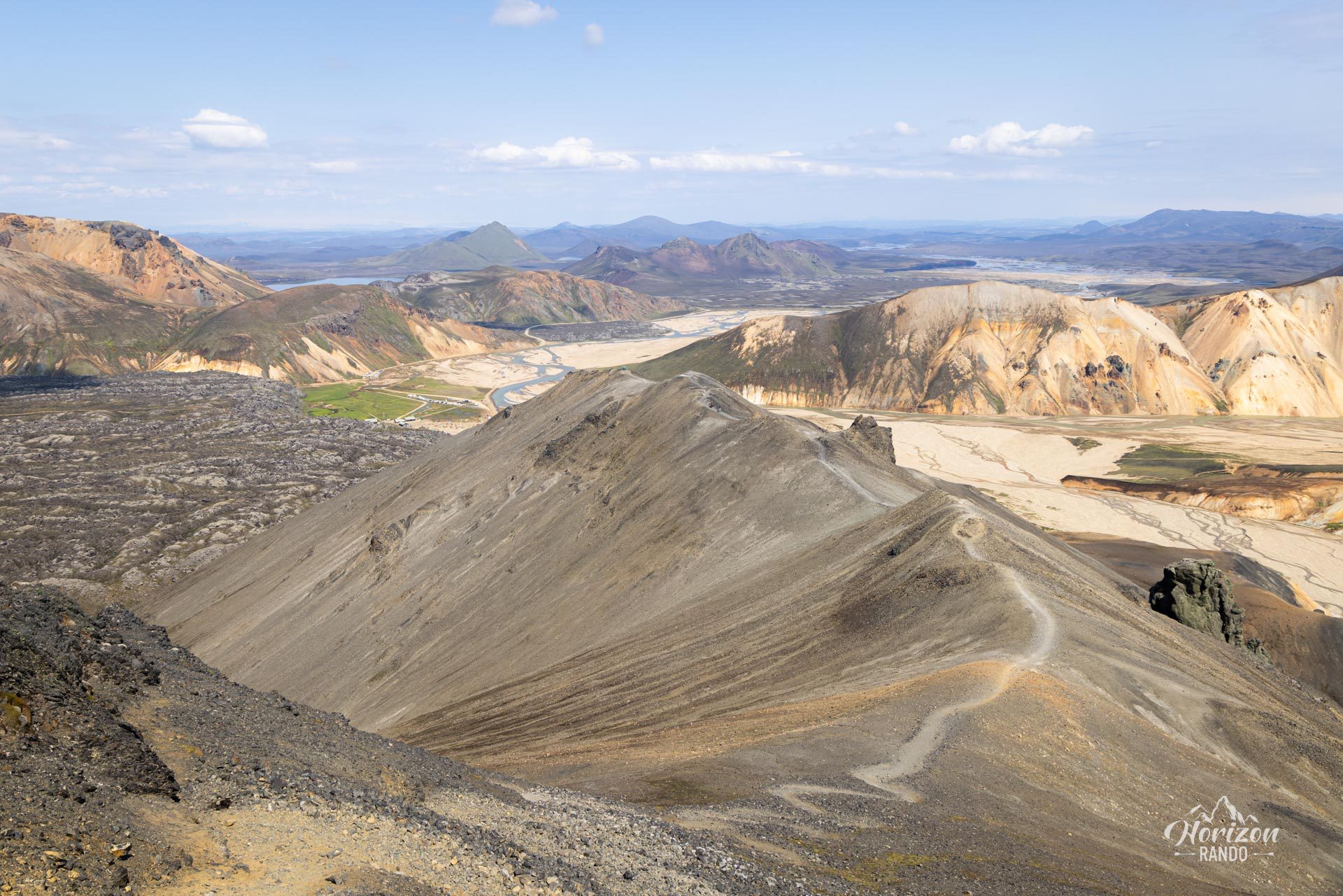
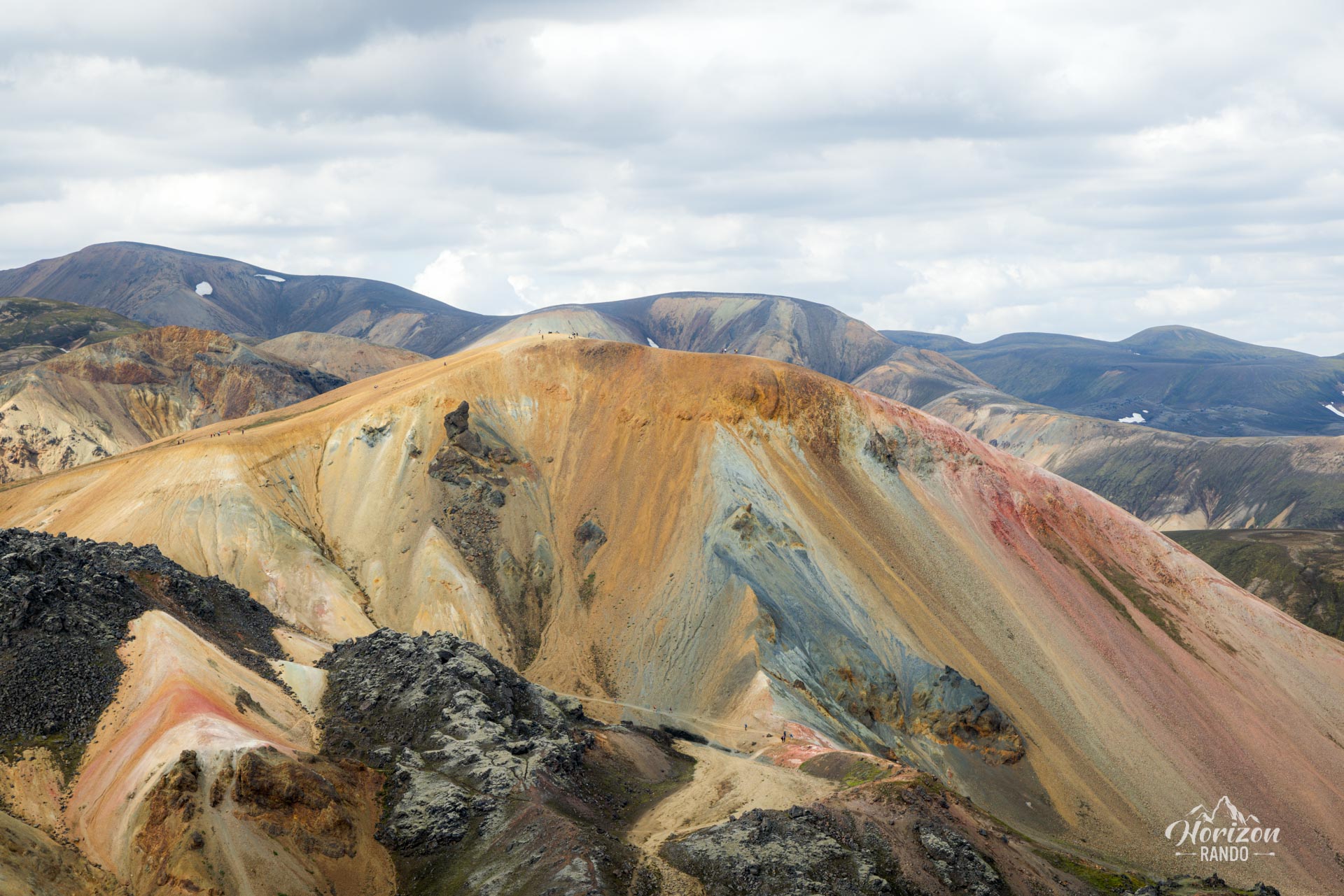
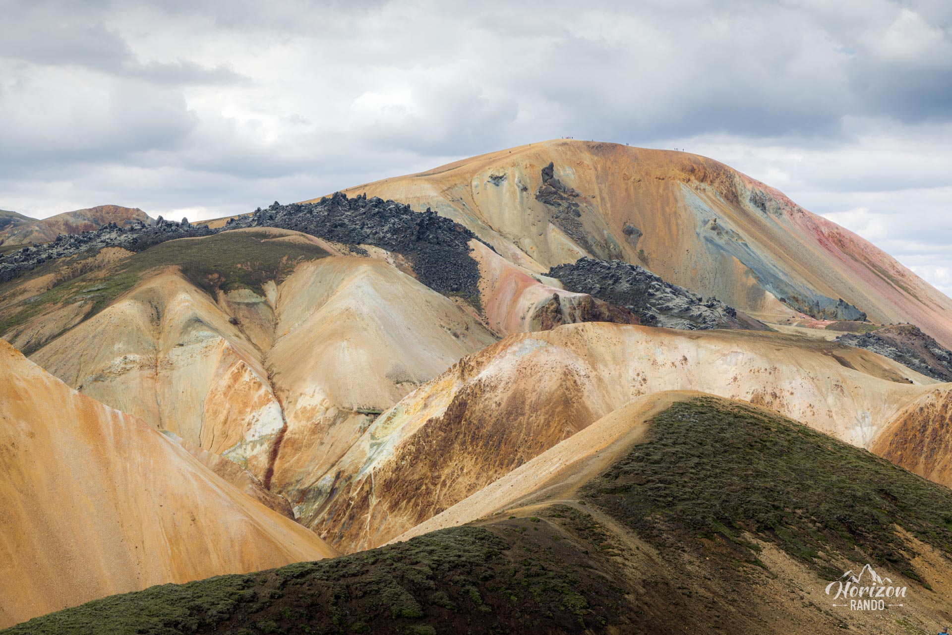
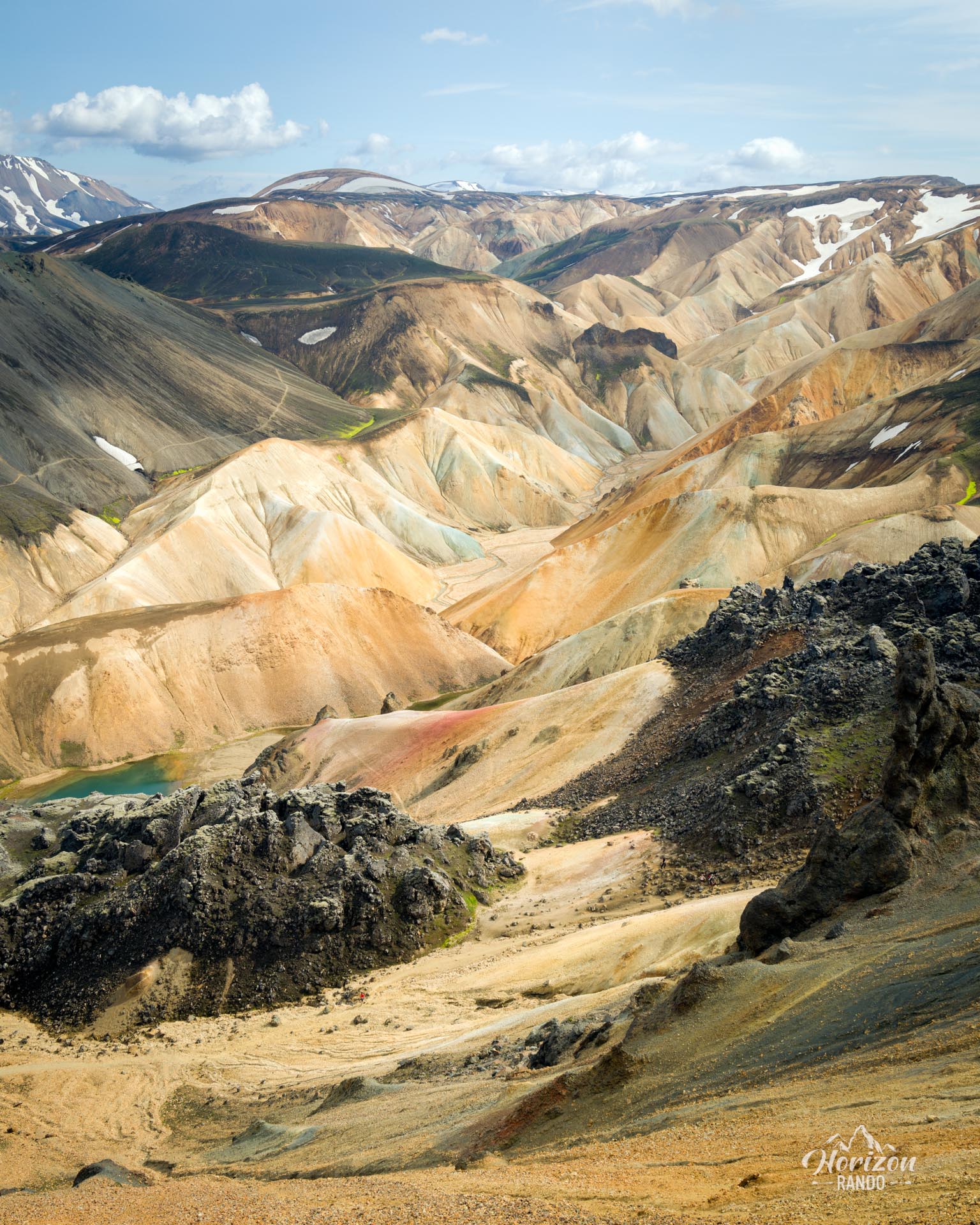
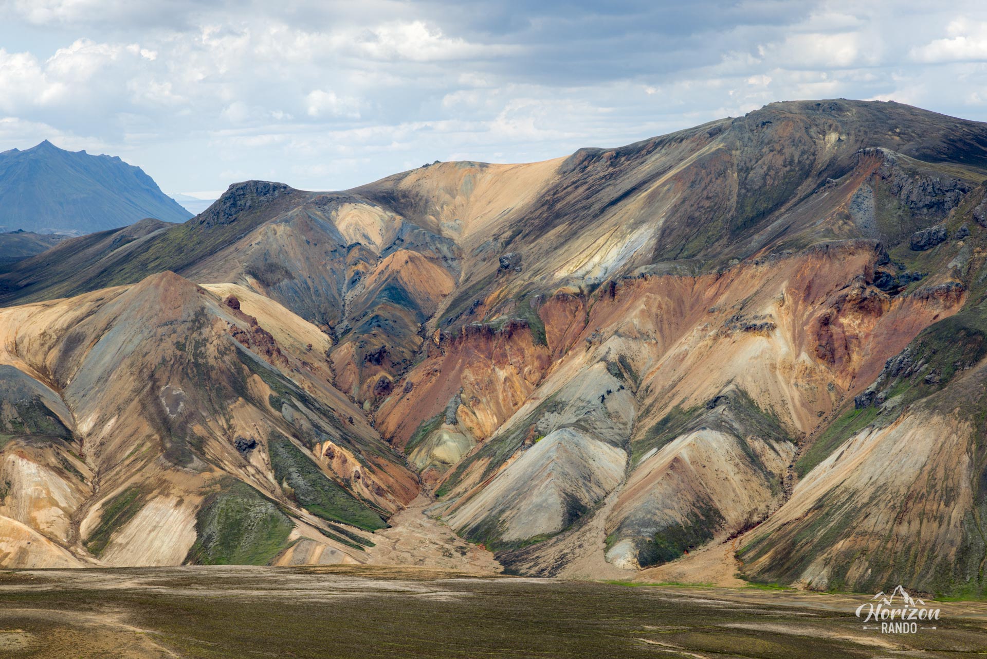
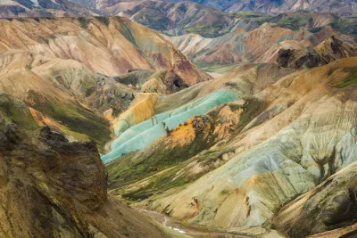
This circuit combines the most beautiful sections of the Bláhnúkur and Brennisteinsalda hikes. These two iconic mountains and volcanoes are among the most spectacular in Landmannalaugar. In other words, this route is exceptional, offering breathtaking views at every turn.
If you only have one day in the area, I highly recommend this hike, which will take you to some of Landmannalaugar's most magnificent sites. It is a veritable festival of colors and unique geological contrasts.
Map and elevation profile of the hike
Bláhnúkur and Brennisteinsalda Hike
Difficulties of the hike
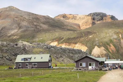
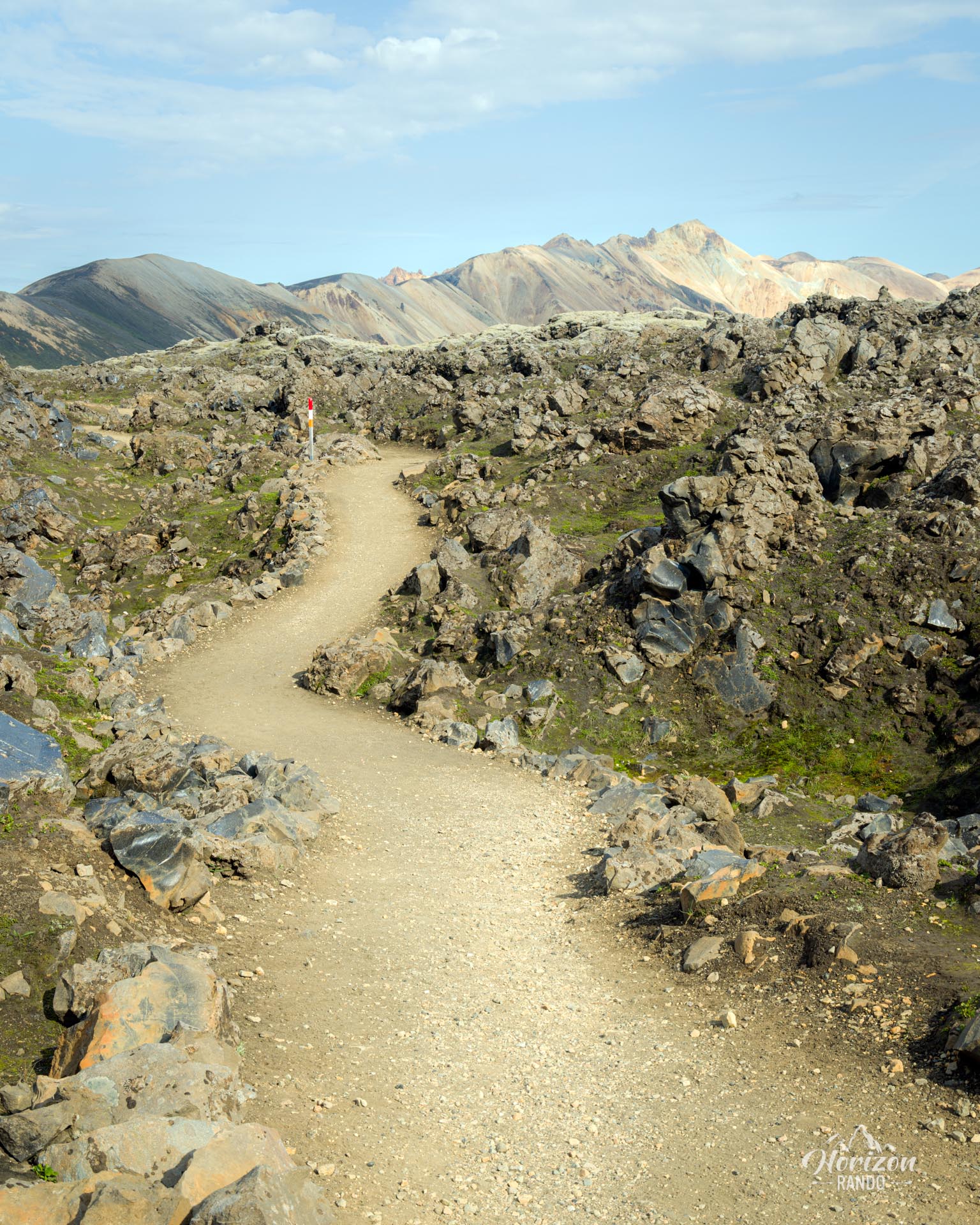
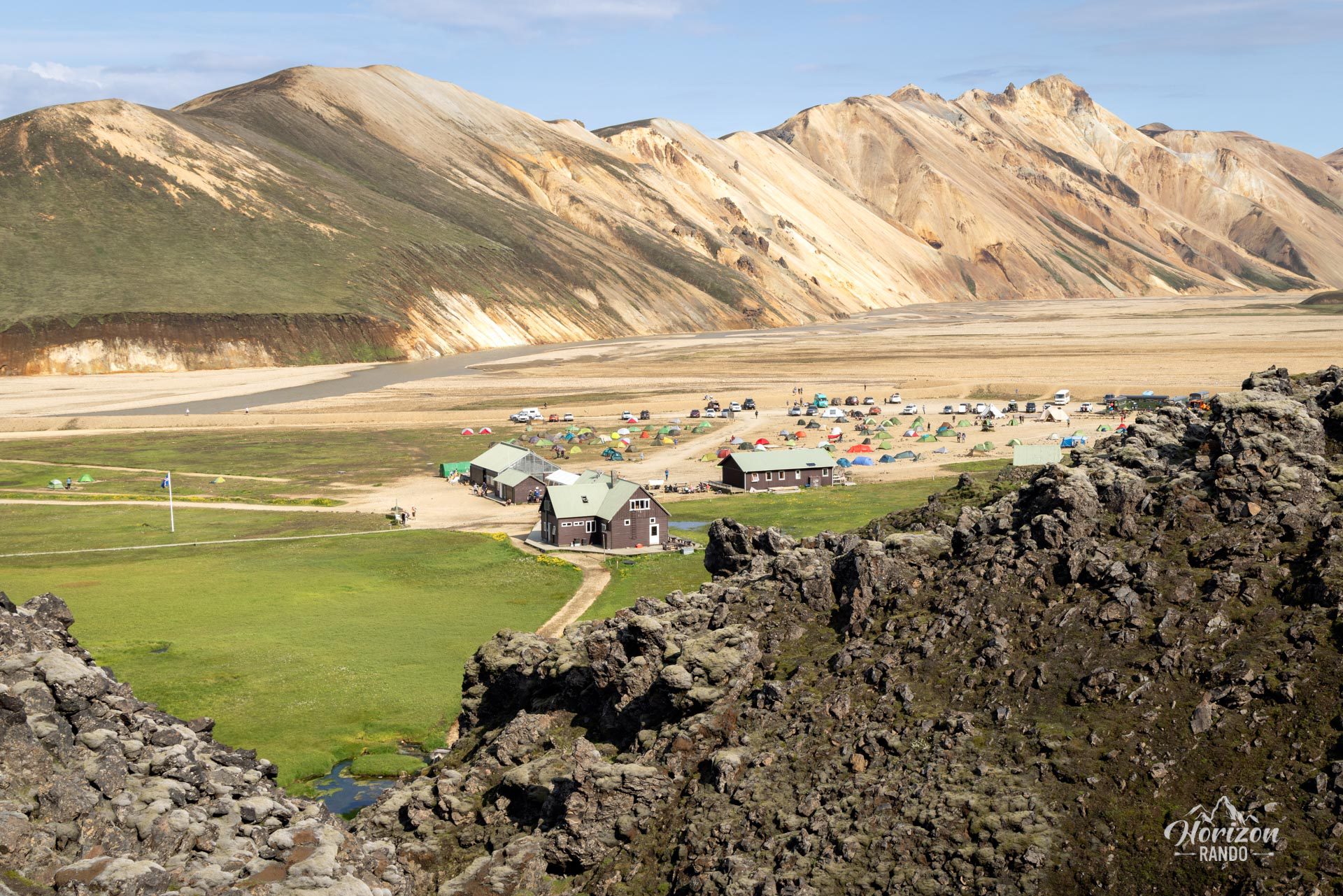
As with all hikes in Landmannalaugar, the trail is well-maintained and clearly marked. To find your way, simply follow the colored markers at the end of the descent from Bláhnúkur to reach the Brennisteinsalda circuit. Since the colors may change, it is best to consult the map displayed at the campsite before setting off.
The route does not present any major technical difficulties. The ascent of Bláhnúkur is the most challenging section, with steep climbs and a winding trail on rocky terrain. The final descent is particularly steep and slippery with loose volcanic rock underfoot.
What you'll love
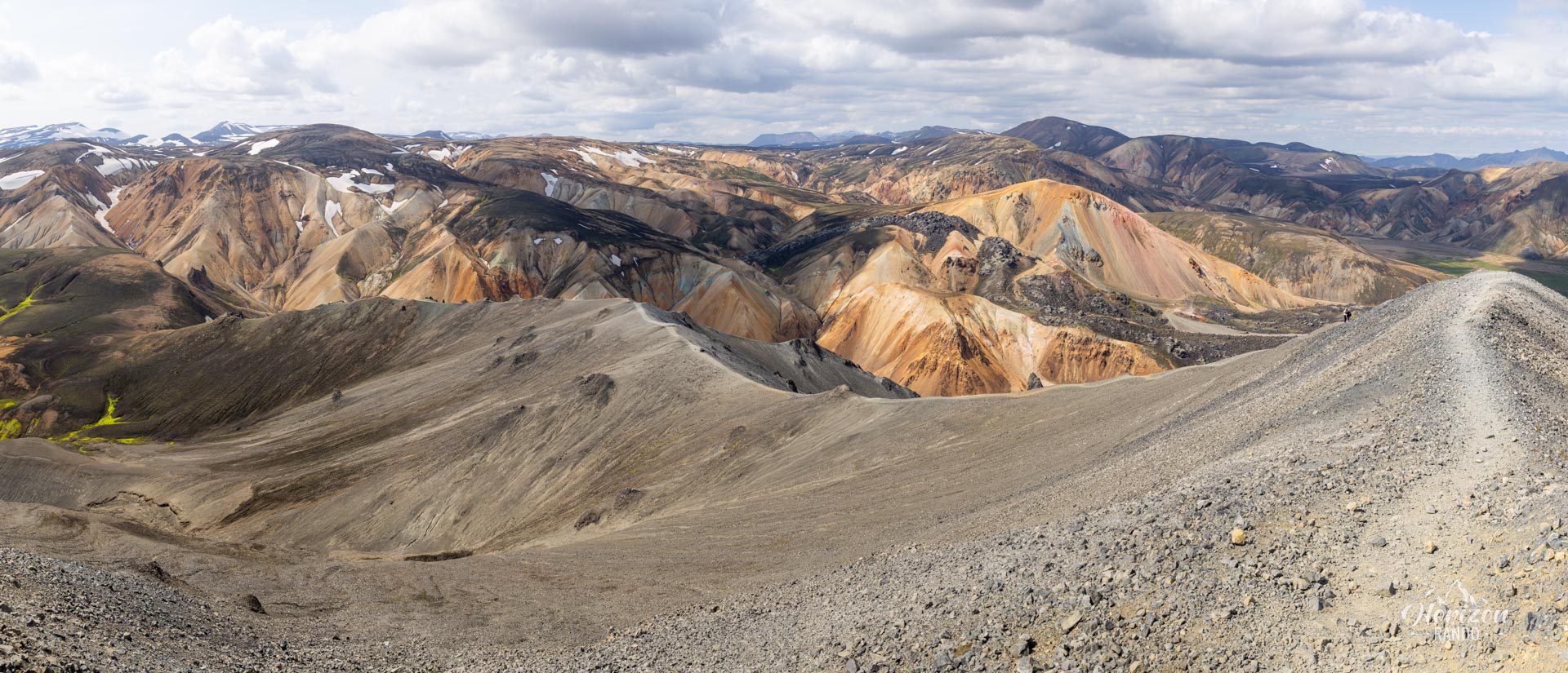
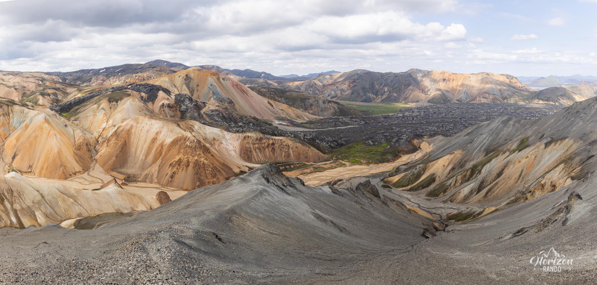
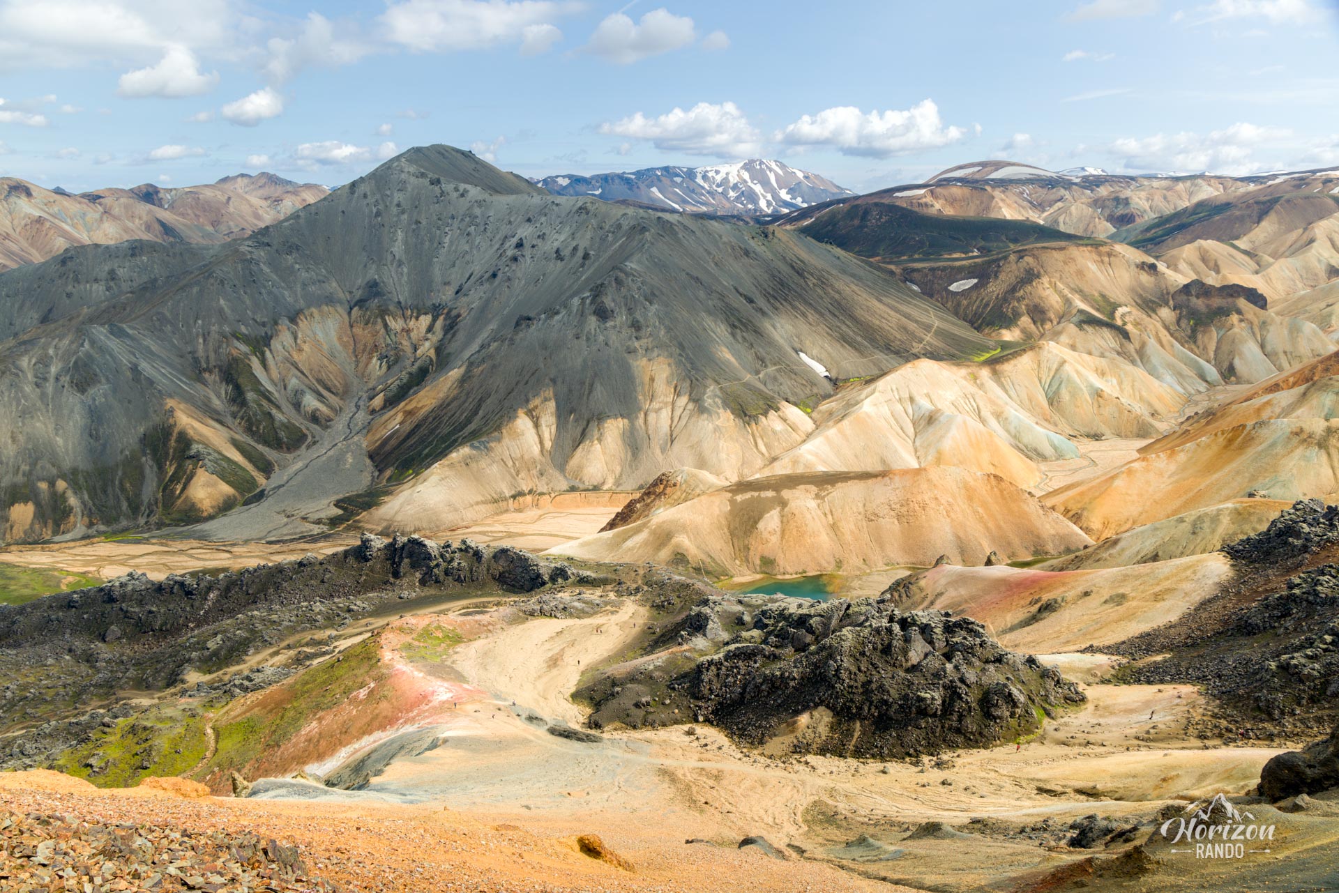
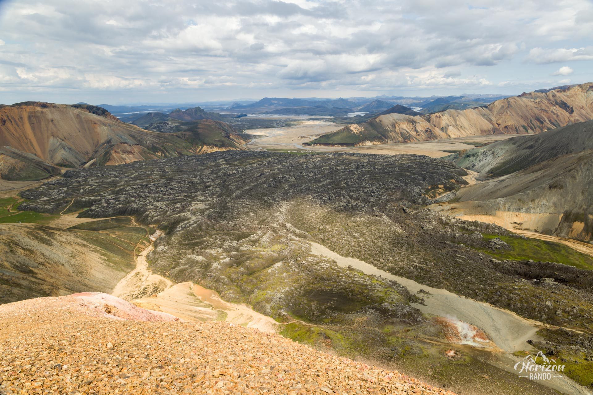
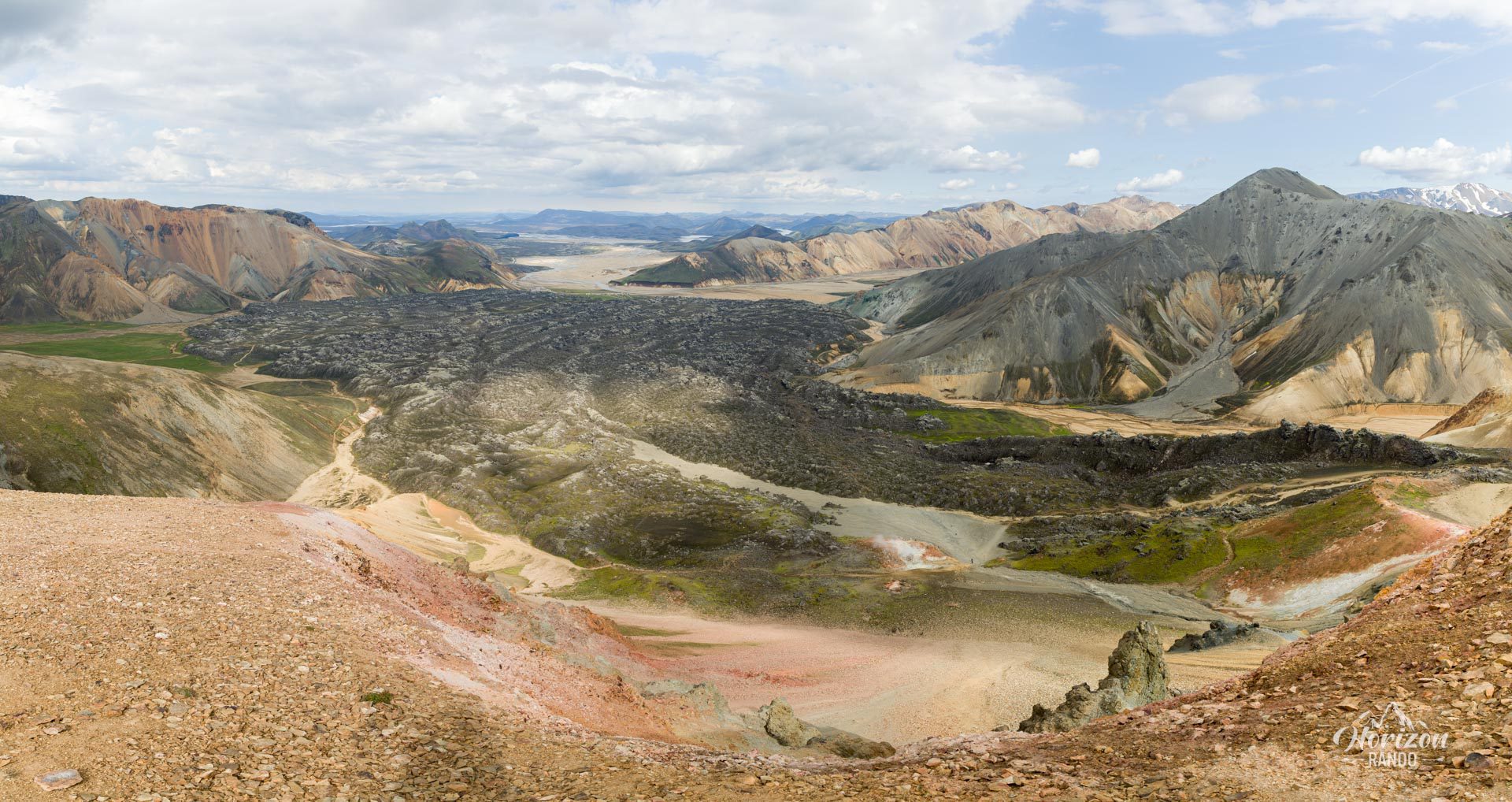
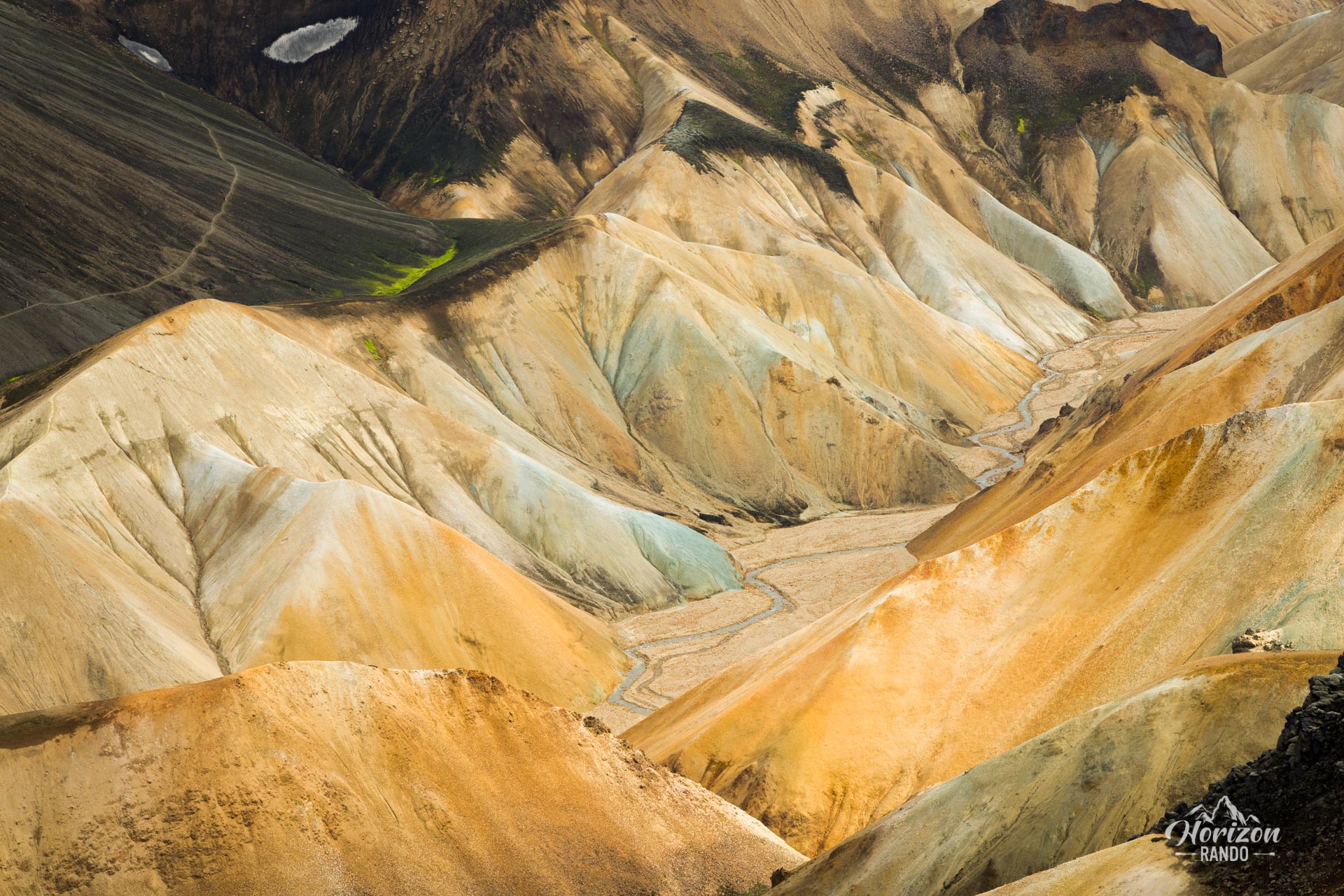
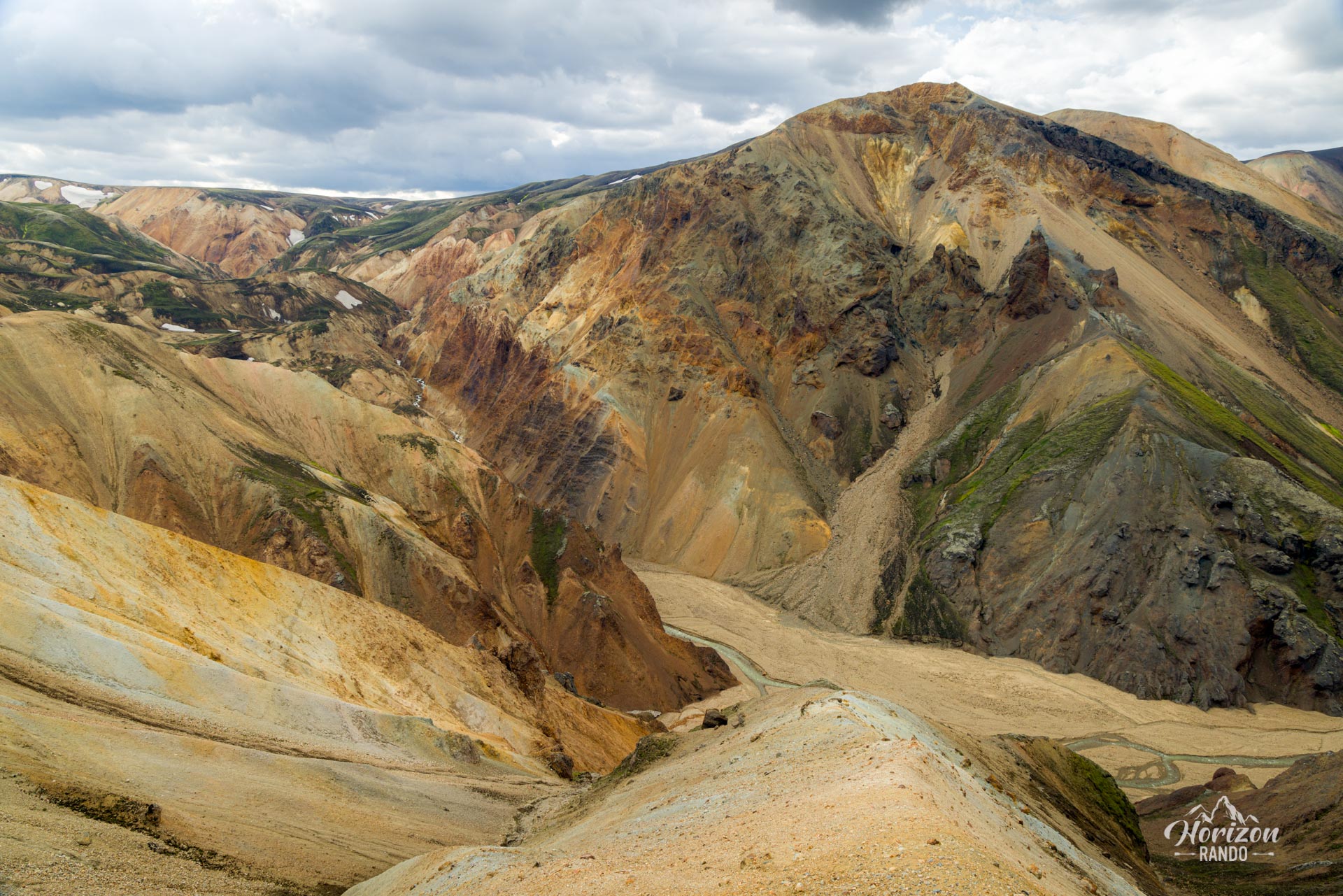
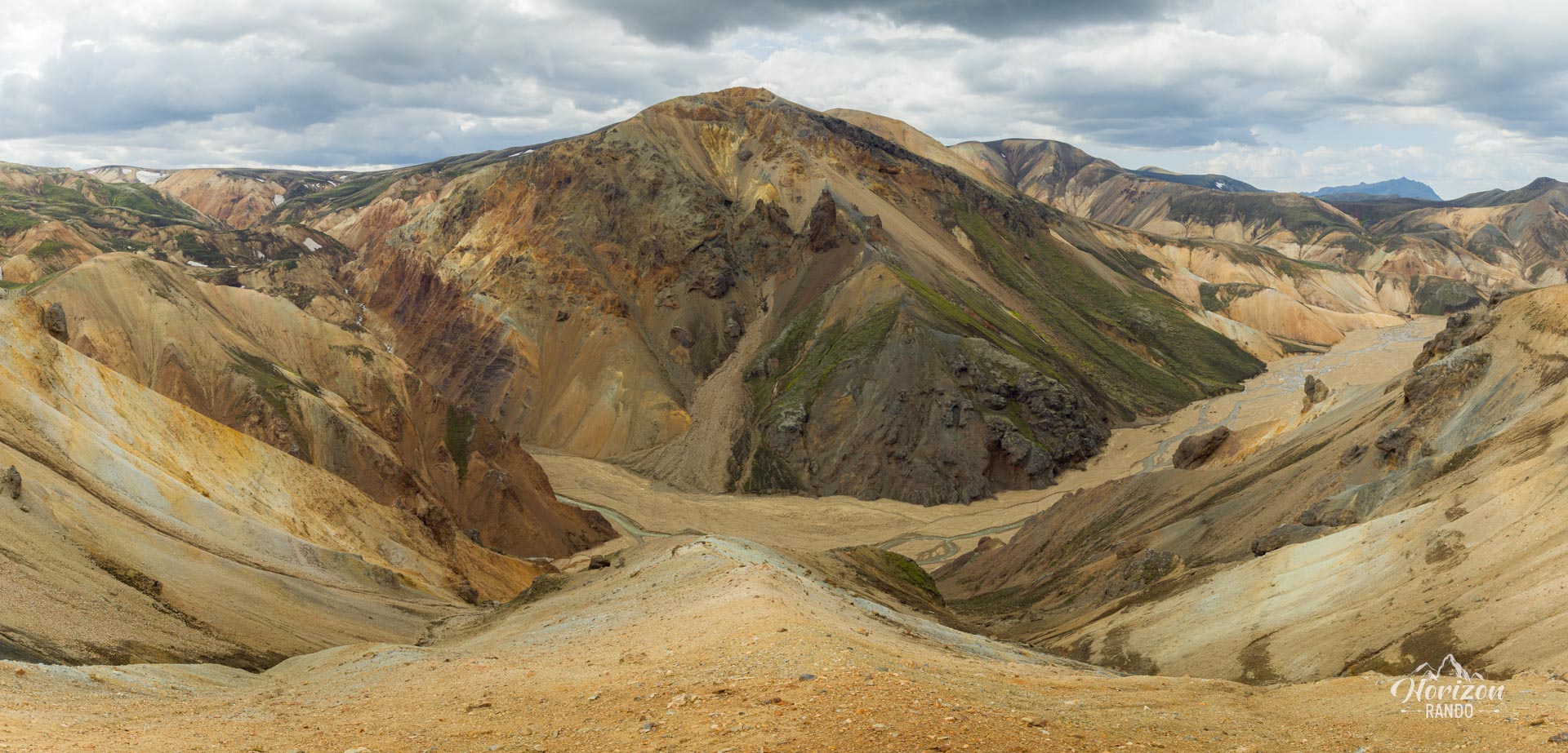
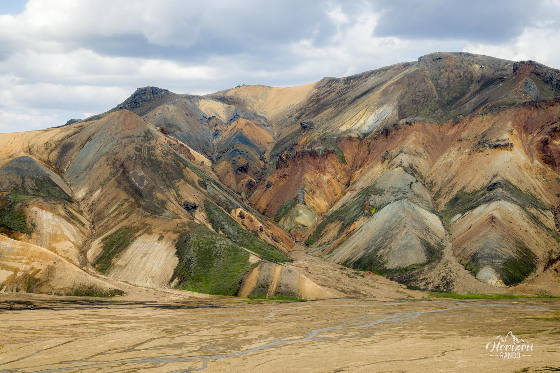
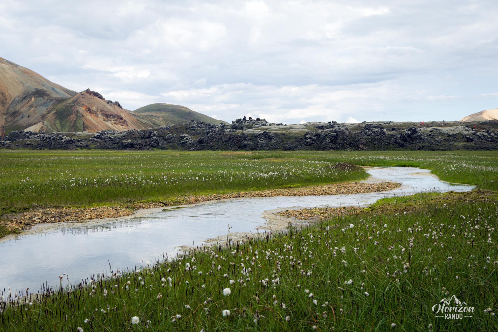
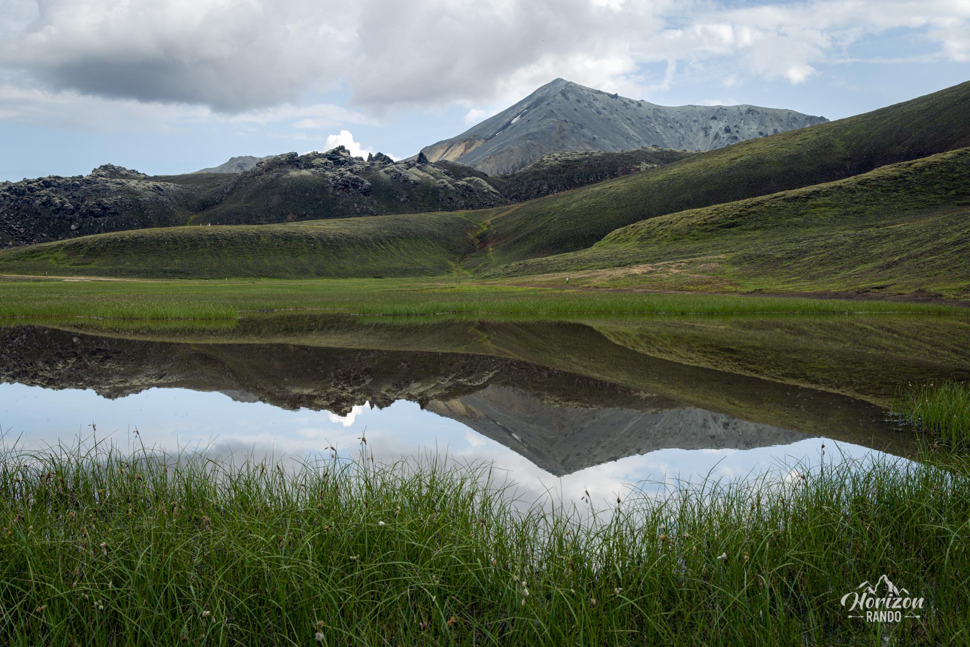
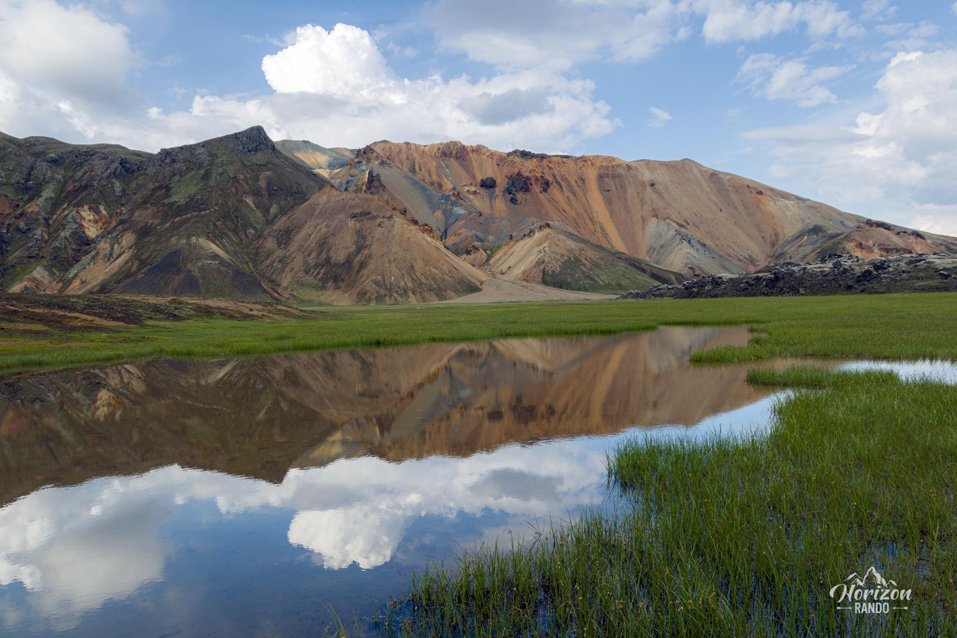
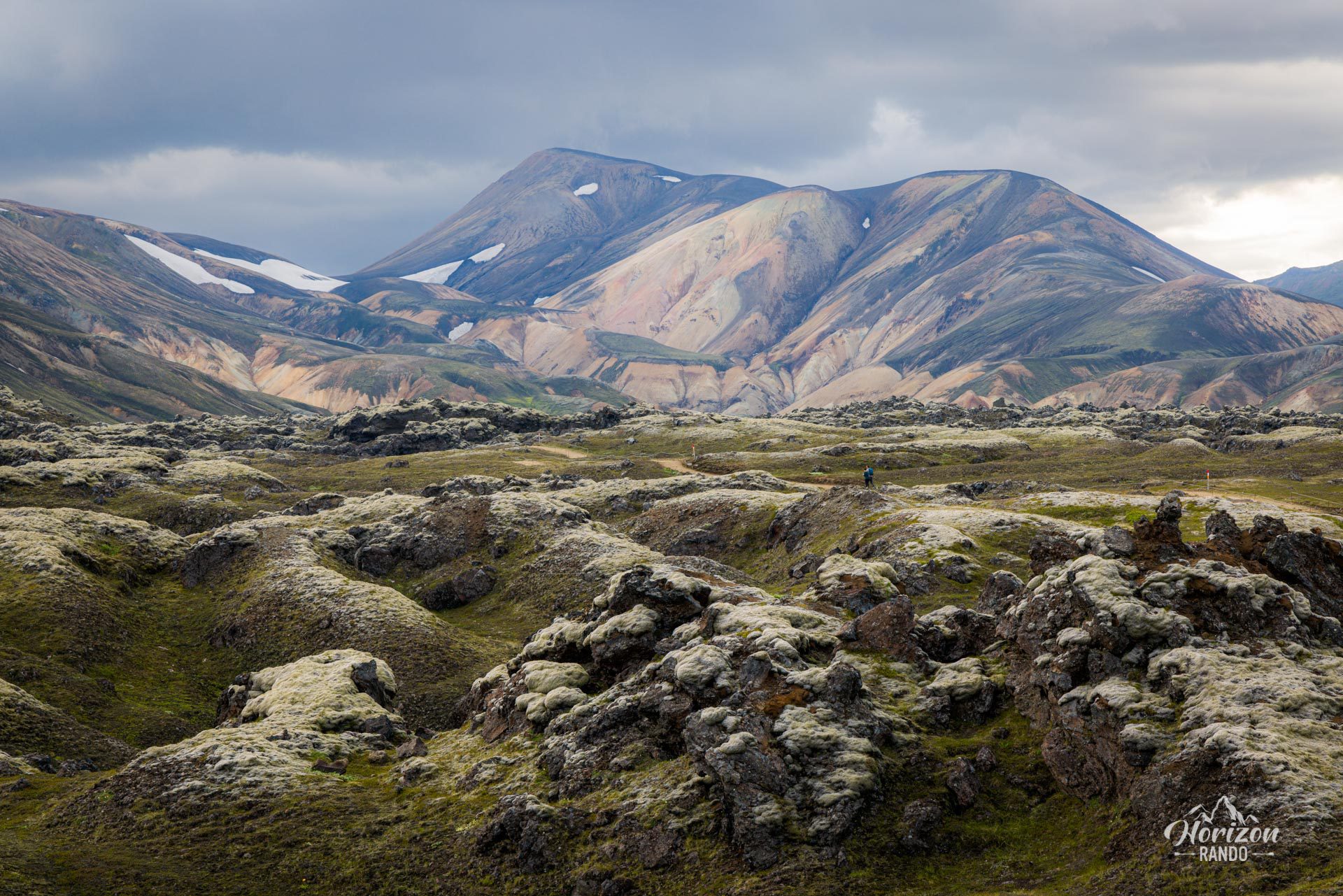
- Exceptional panoramas from both summits: Panoramic views of the rhyolitic mountains of Landmannalaugar from Bláhnúkur and magnificent views of the Laugahraun lava field from Brennisteinsalda.
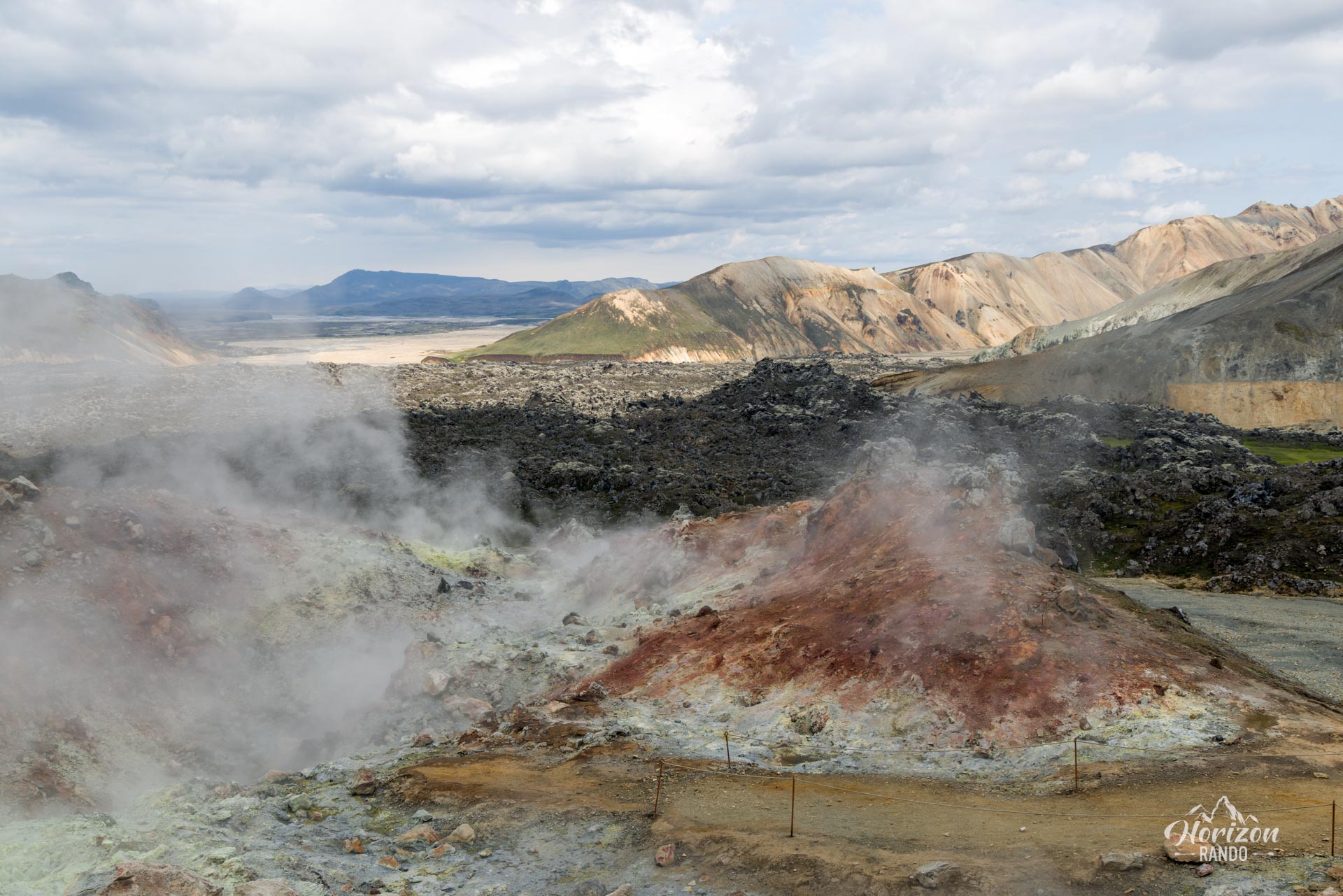
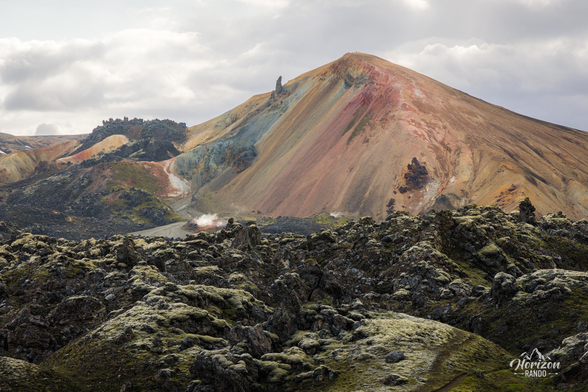
- Fascinating geological diversity: Cross the Laugahraun lava field, which has remarkable geological formations, and discover active solfatara and fumaroles on the slopes of Brennisteinsalda.
- An immersive experience: Feel like you're exploring another world as you take in the extraordinary landscape unlike anything you've ever seen.
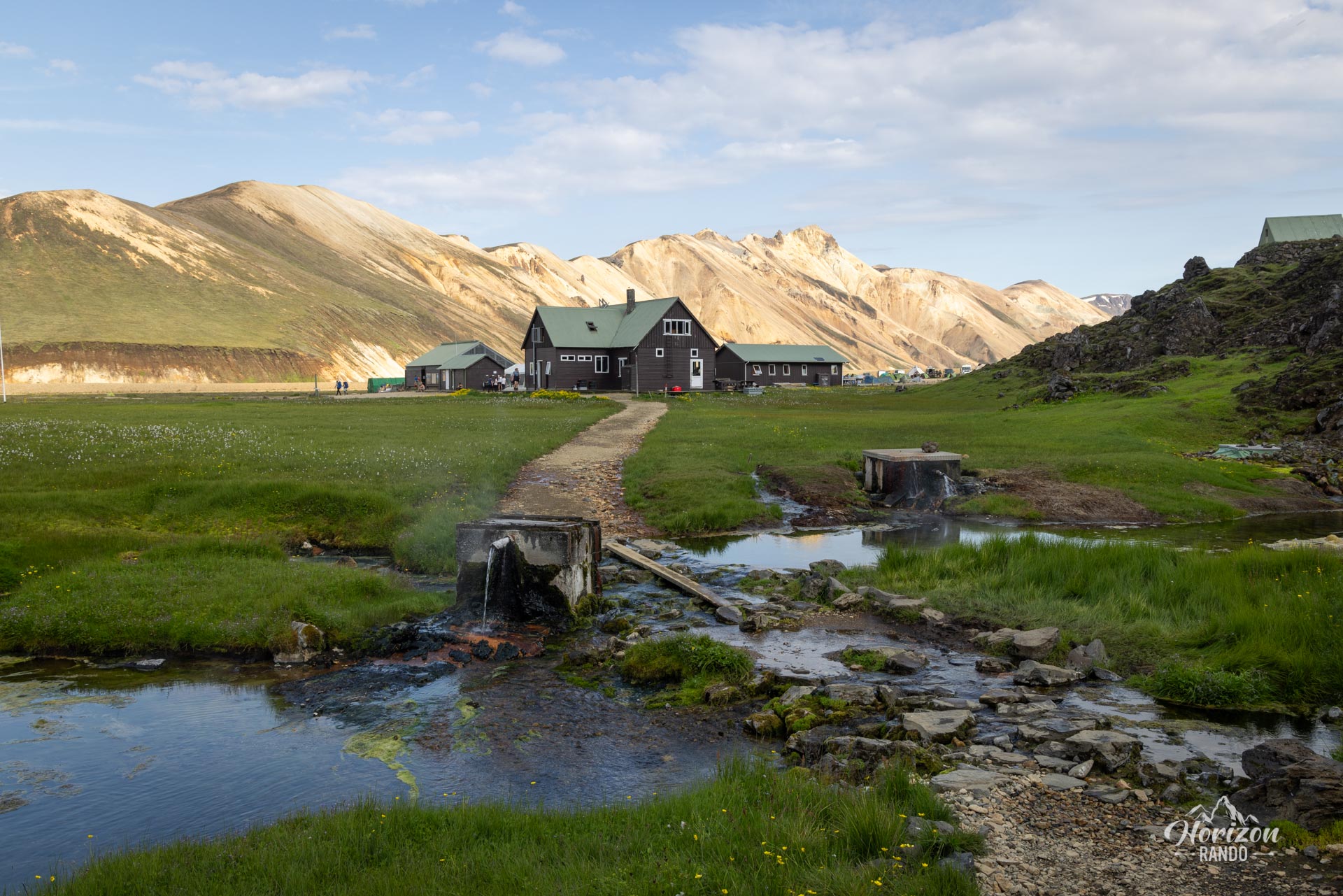
- Relaxing bath: Unwind in the natural hot spring at Landmannalaugar, which is perfect for loosening up your muscles after the hike.
Practical information
Getting to Landmannalaugar
The roads in the highlands are only open in the summer. Several bus companies provide connections to Reykjavik. If you prefer to drive, you will need a 4WD vehicle to travel on F-roads. There are three options available to you:
- The F208 road from the north: the easiest option, with no river crossings.
- The F225 road: more picturesque but requires crossing several shallow rivers.
- The F208 road from the south: crosses several medium-depth rivers.
See my dedicated page on driving in the Highlands for more information.
Parking
It is now necessary to reserve a parking space before your arrival.
Hiking in Landmannalaugar
Check out my Landmannalaugar guide to help you choose your hikes.
Photos
See all 25 photos →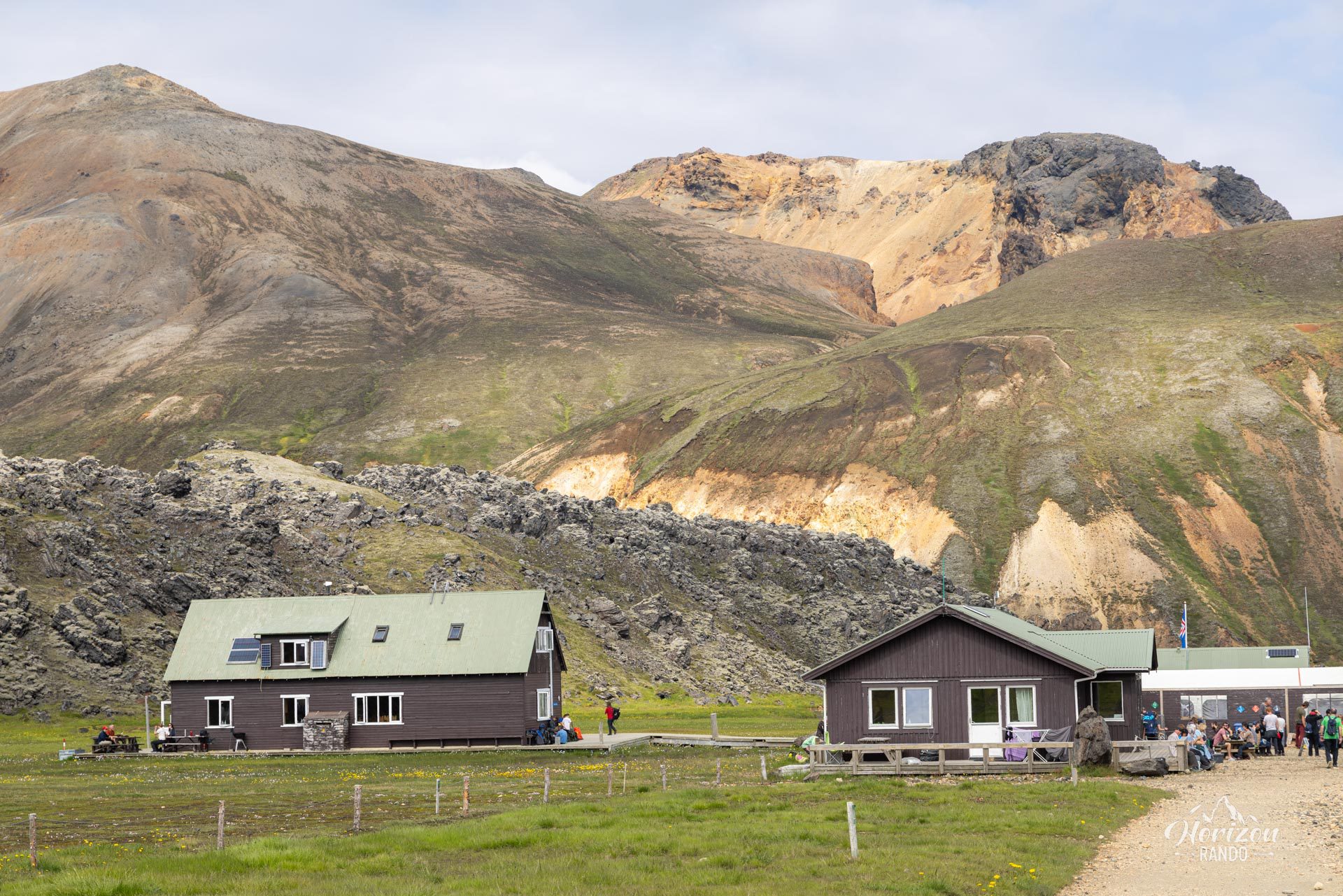
More hikes to do in Iceland
Nearby hikes














Printed from www.horizonrando.fr/en/iceland/blahnukur-brennisteinsalda/