






Bláhnúkur Hike
Key facts about the hike
- Difficulty
- Easy Hikes are rated from very easy to very hard: my difficulty scale
- Duration
- 2h30 Estimated time, short breaks included (photos, water, snacks), picnic not included: how it is calculated
- Distance
- 6.3km
- Elevation gain
- 400m
- Type of route
- Loop
- Maximum altitude
- 945 m
- Vertiginous Five levels, depending on how exposed the route is: the levels in detail
- Slightly
- Marked
- Yes
- Popularity
- Moderate
- Region
- Highlands
- Start point
- 63.99055, -19.06025
- Activity
- Hiking
Hike overview
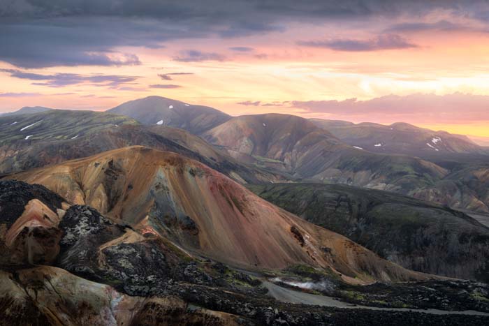
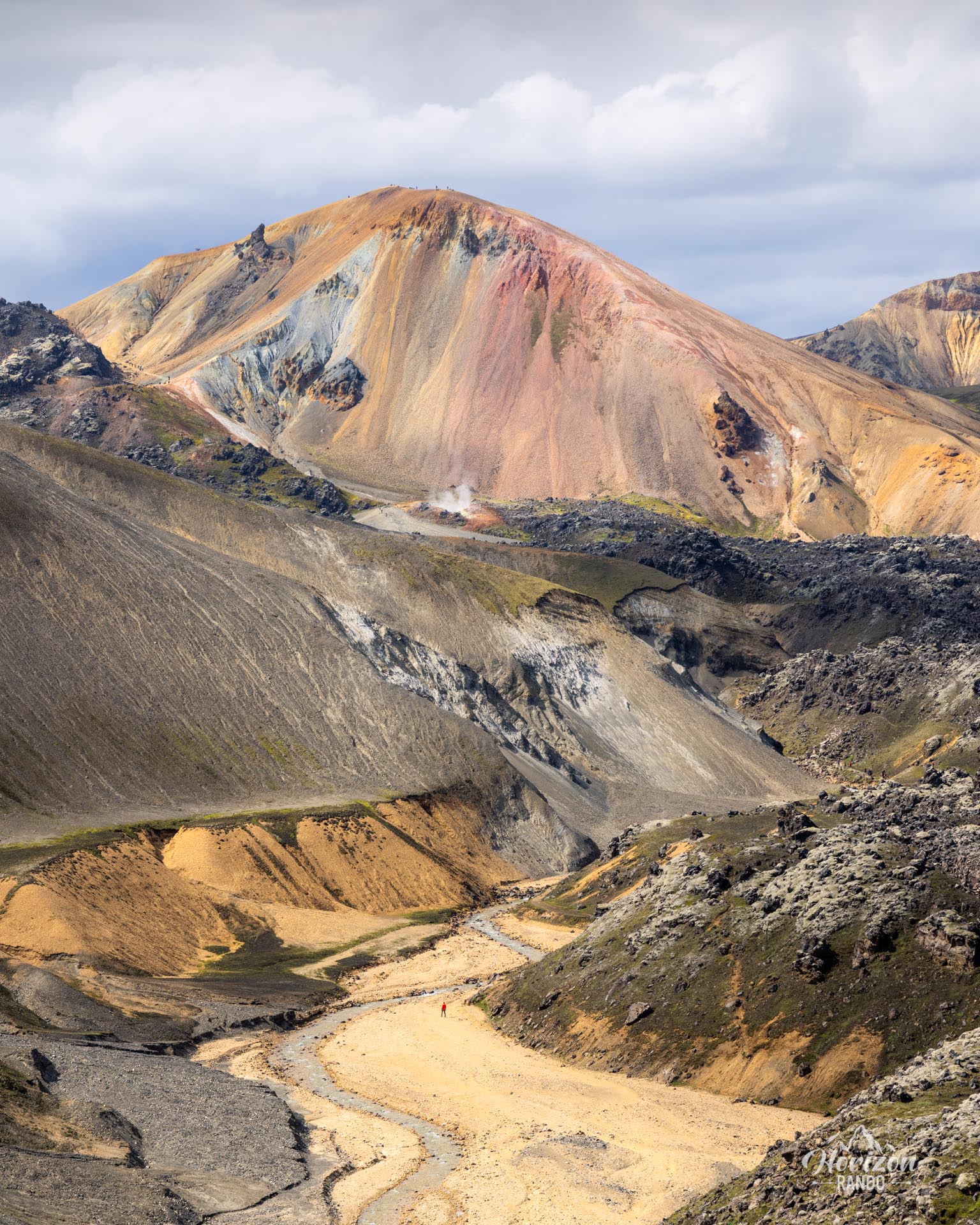
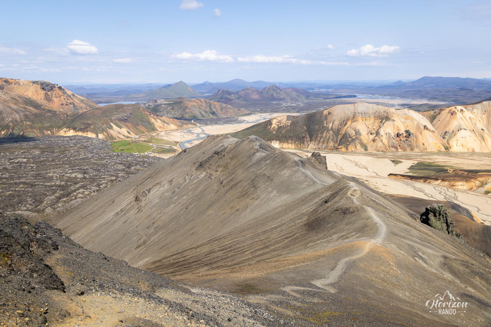
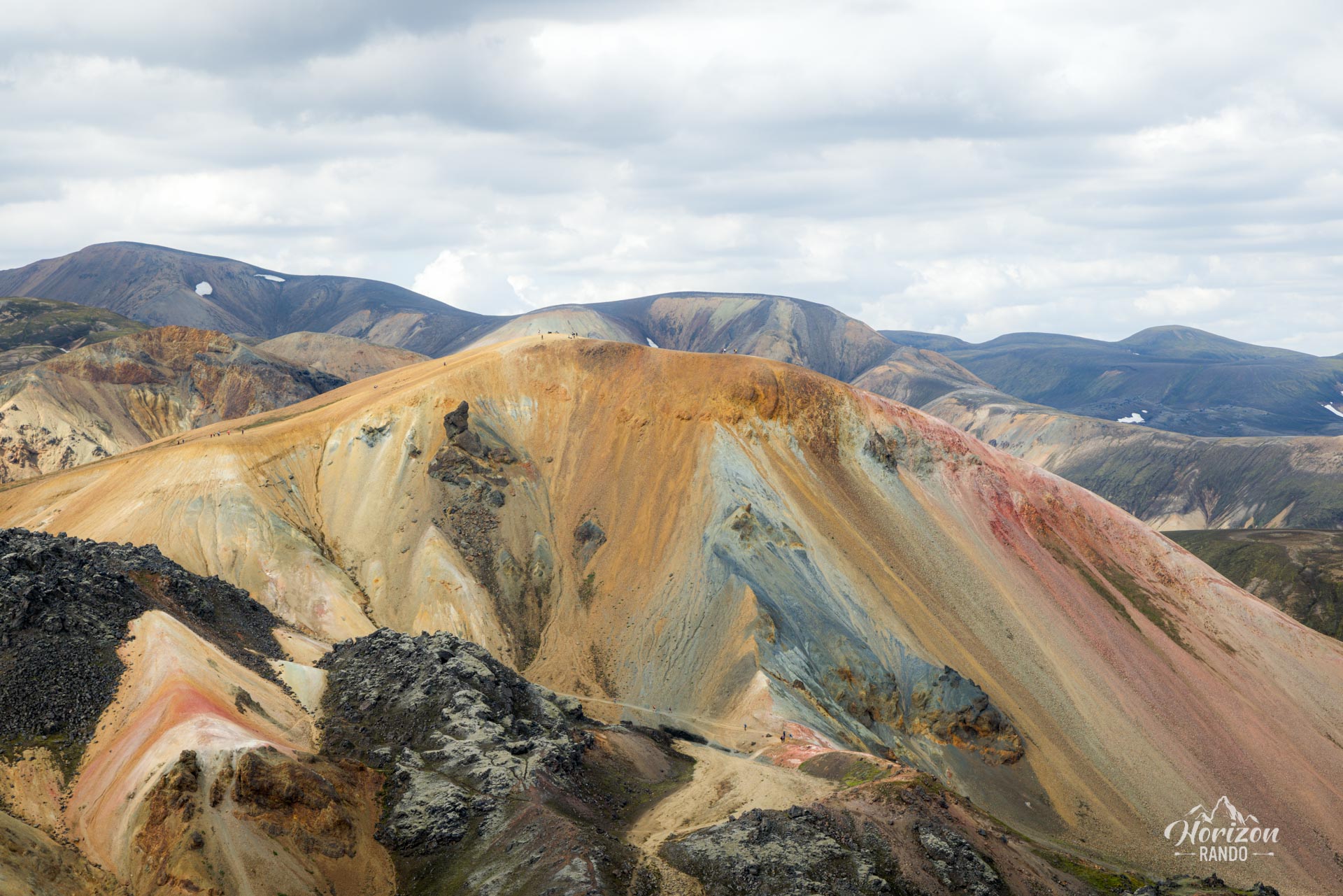
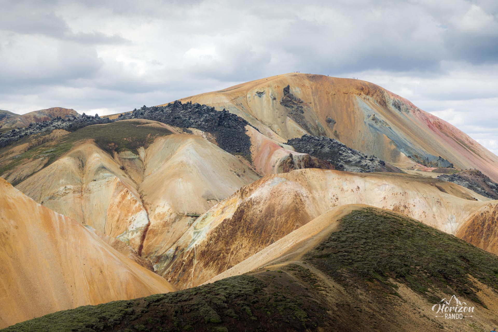
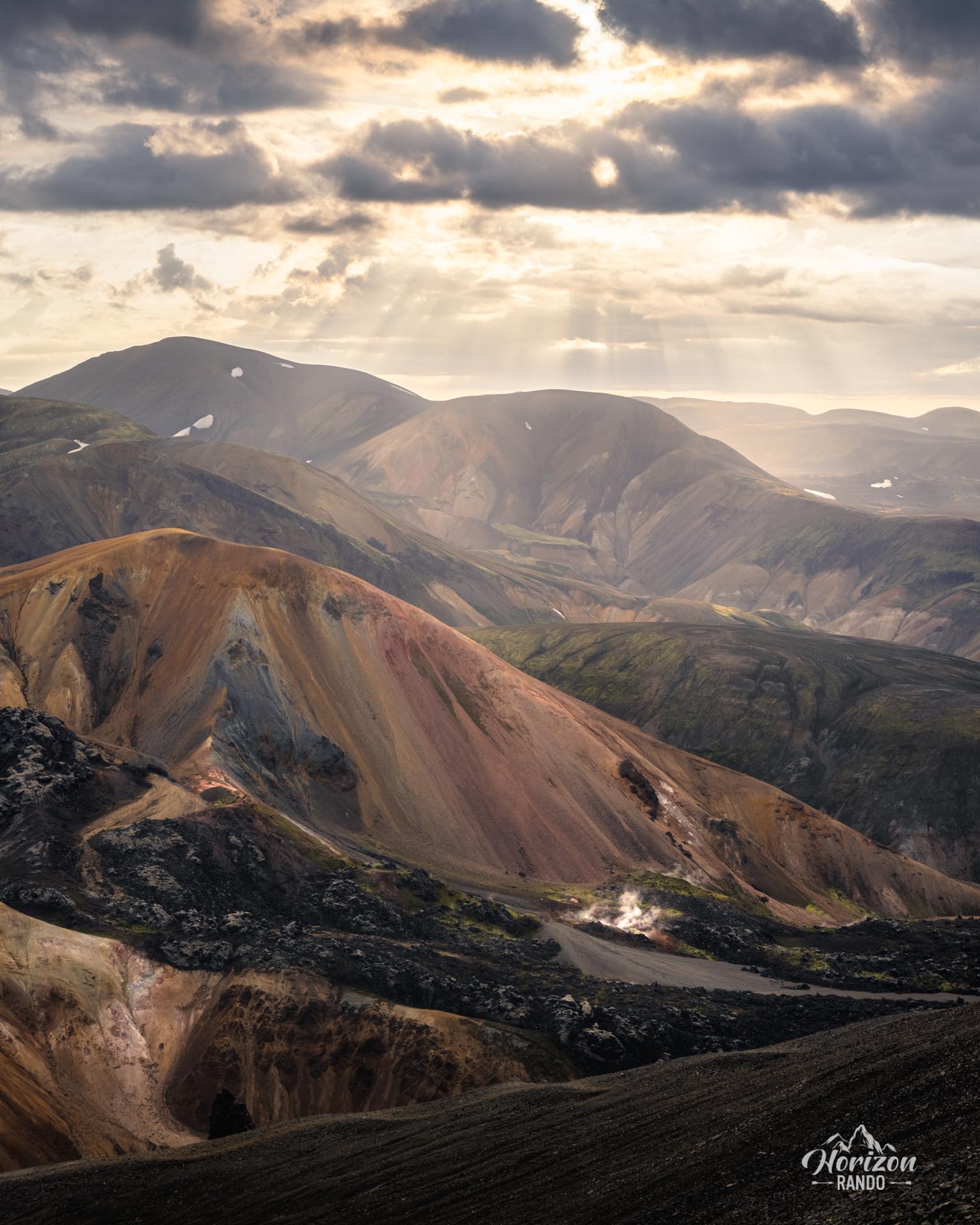
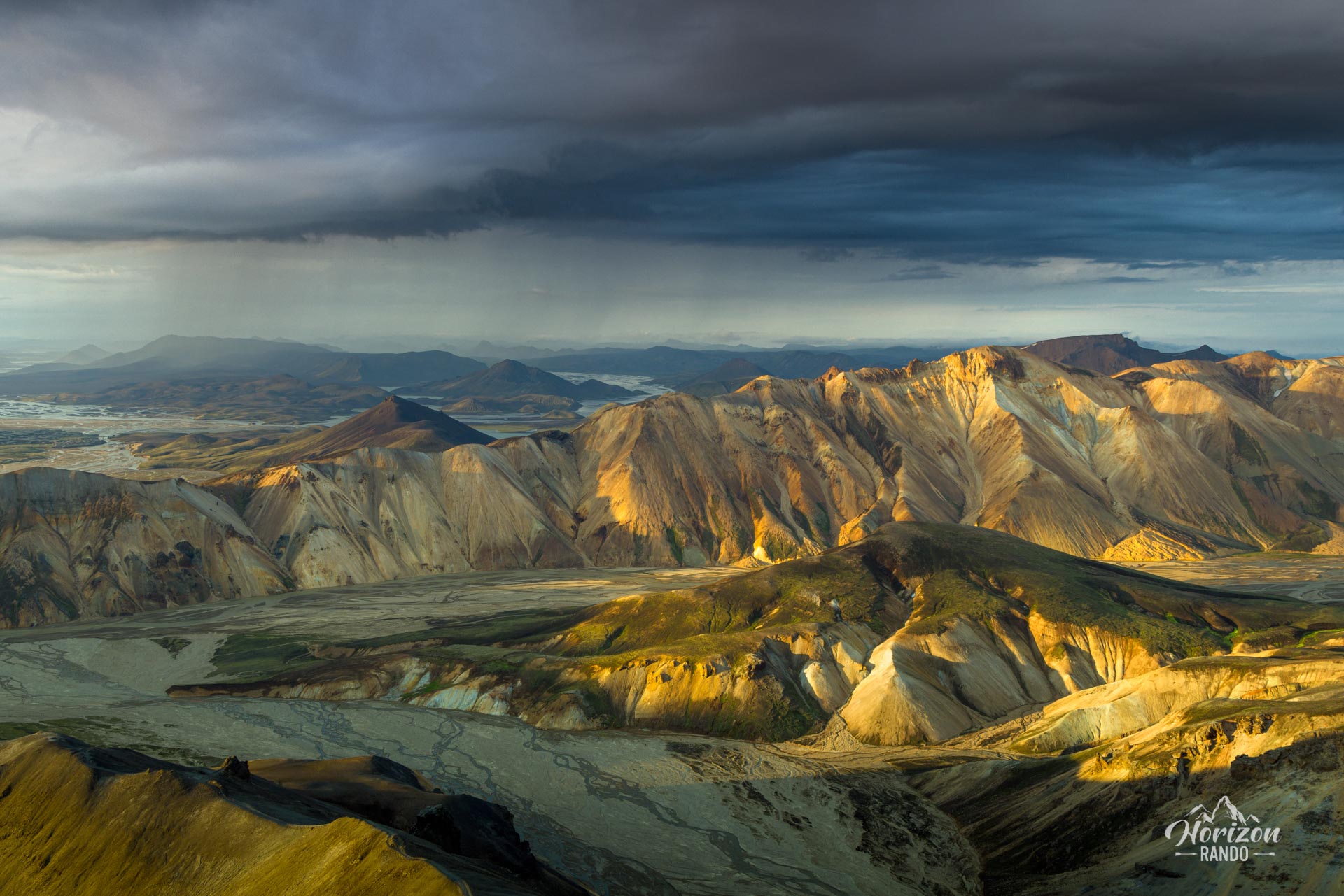
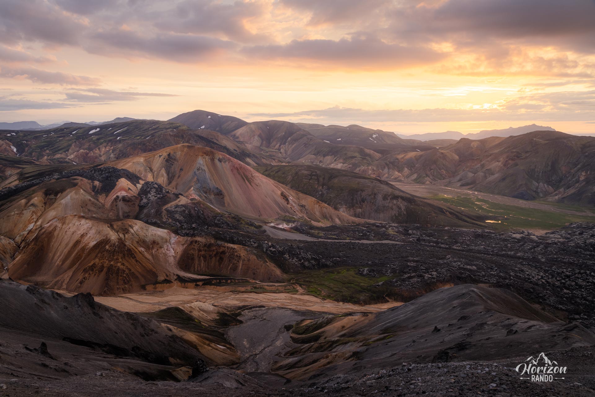
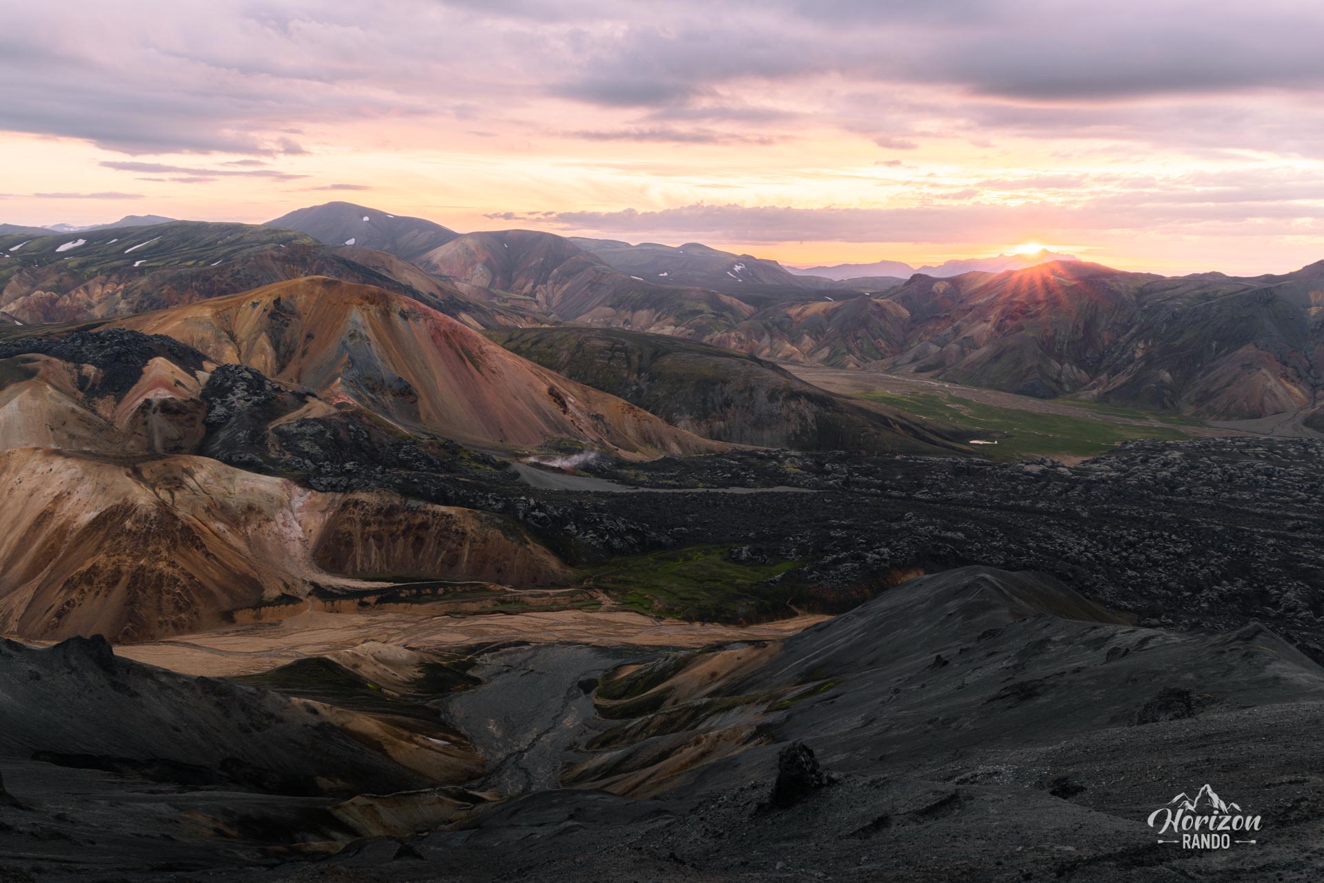
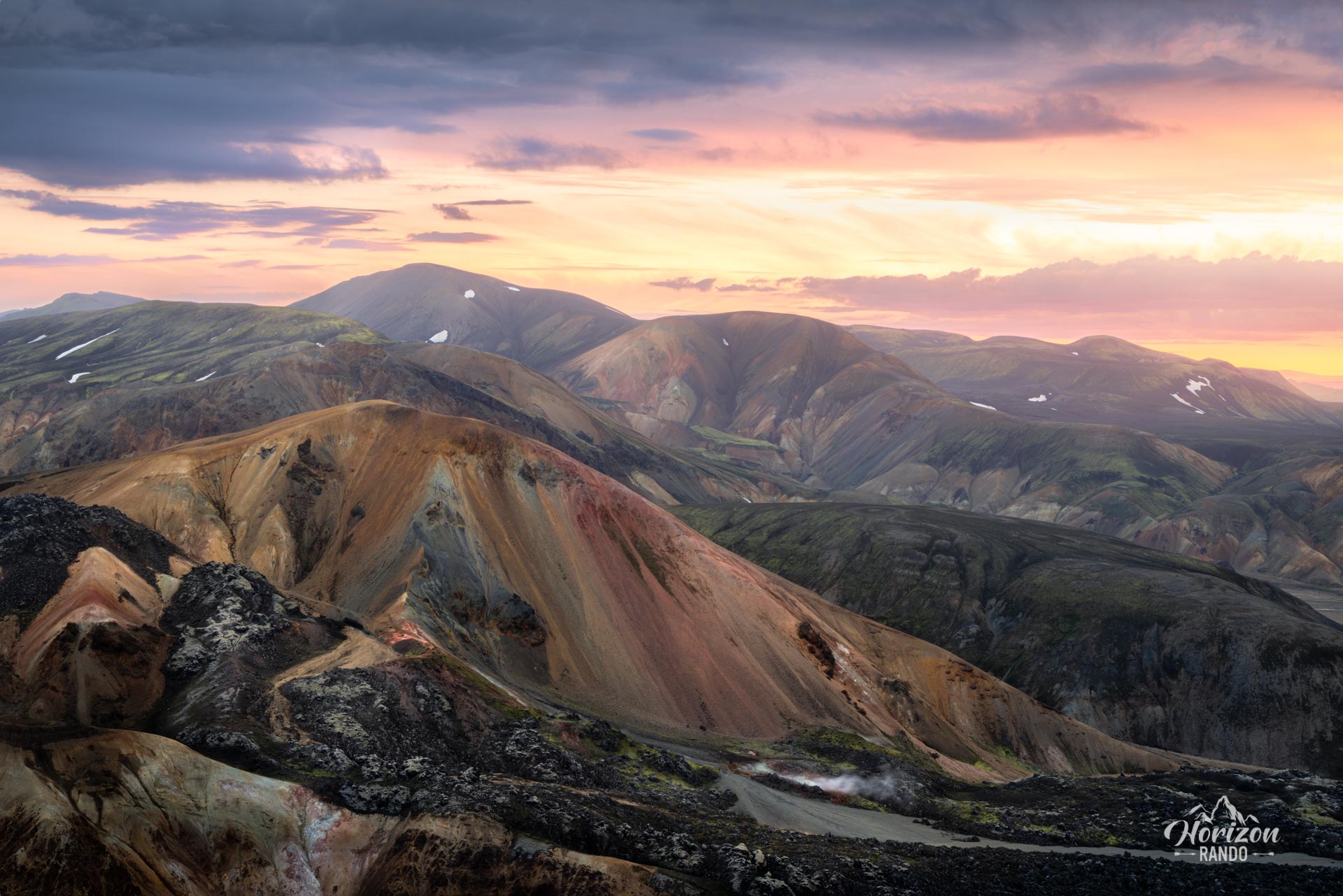
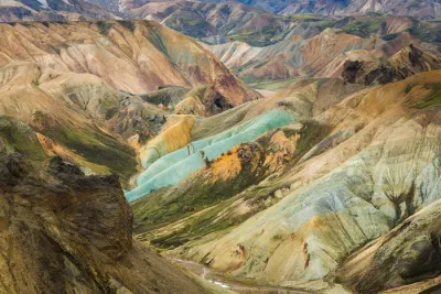
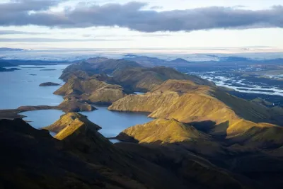
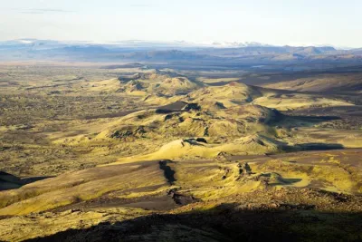
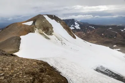
Blahnúkúr, meaning blue peak in English, is a 945-meter-high volcano located in Landmannalaugar. Formed during the Ice Age, the volcano's name and its characteristic blue-green hue are due to its rhyolitic rocks. The hike to the summit of Blahnukur is one of the most popular and breathtaking in the region, if not in all of Iceland. From the summit, the panorama of lava fields and fantastically colorful mountains and valleys is exceptional.
Tip: If you have the time and energy, combine this hike with the ascent of Brennisteinsalda for an even more memorable experience. See the Blahnukur and Brennisteinsalda hike page for more information.
Map and elevation profile of the hike
Bláhnúkur Hike
Difficulties of the hike
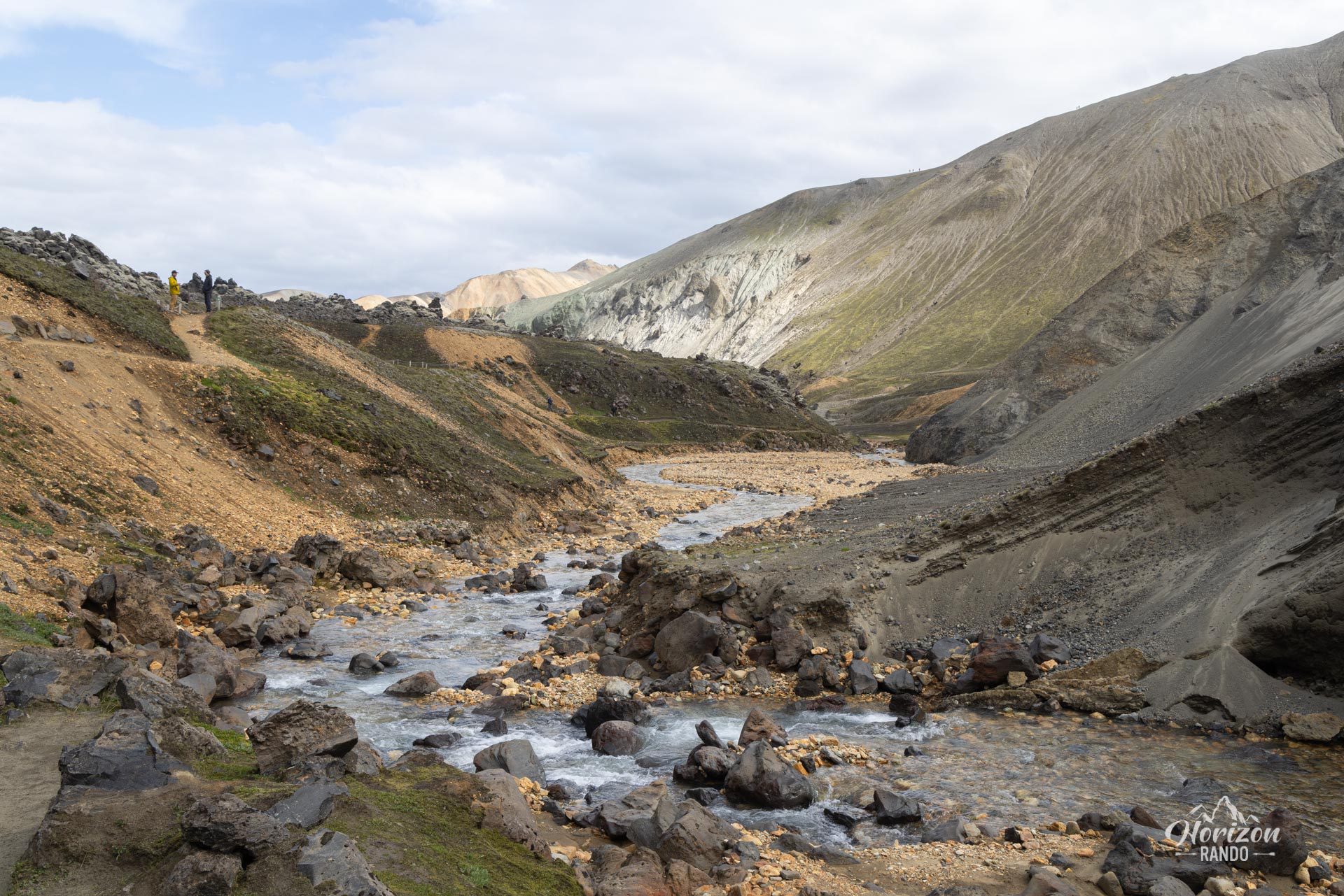
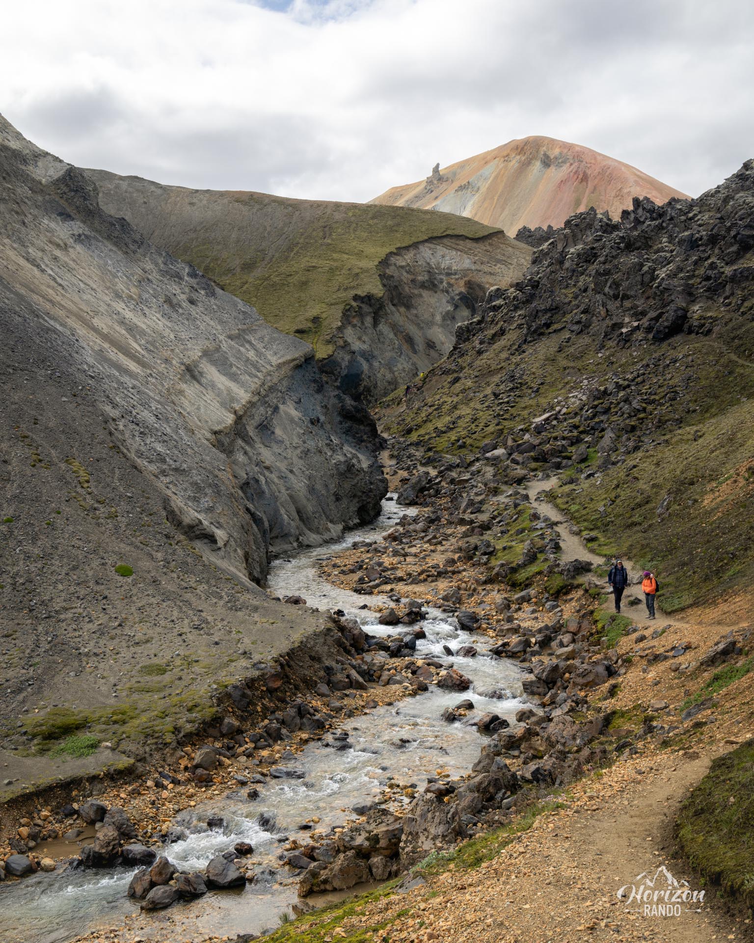
As with all hikes in Landmannalaugar, the trail is well-maintained and clearly marked. The route is generally easy, although some slopes can be slippery in wet weather.
What you'll love
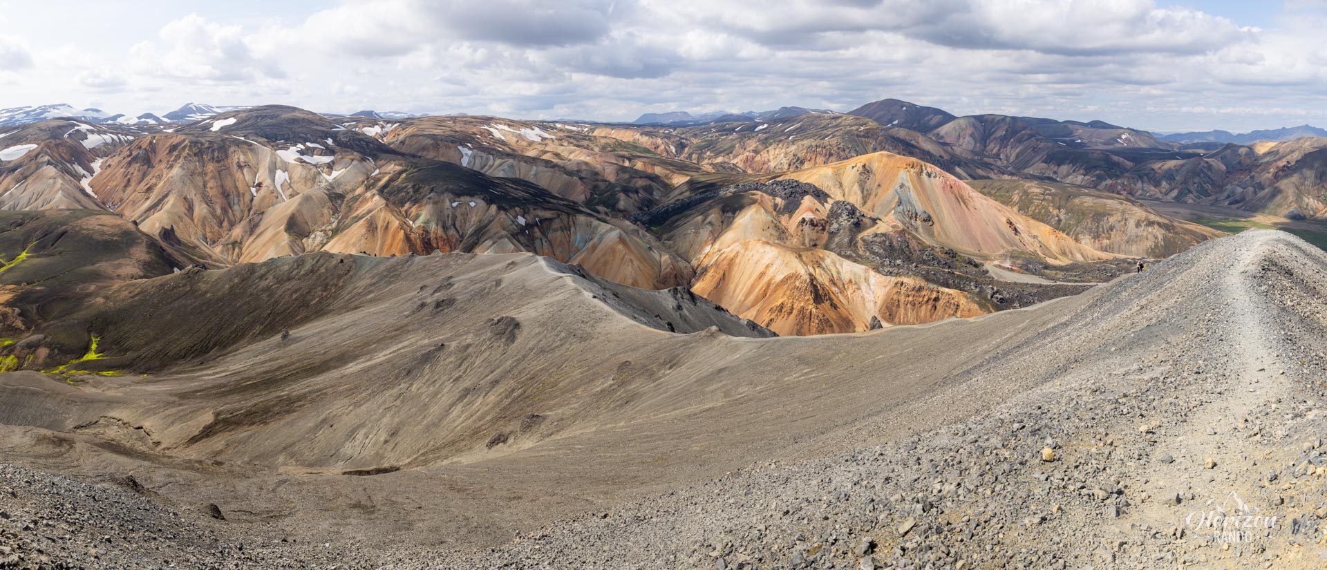
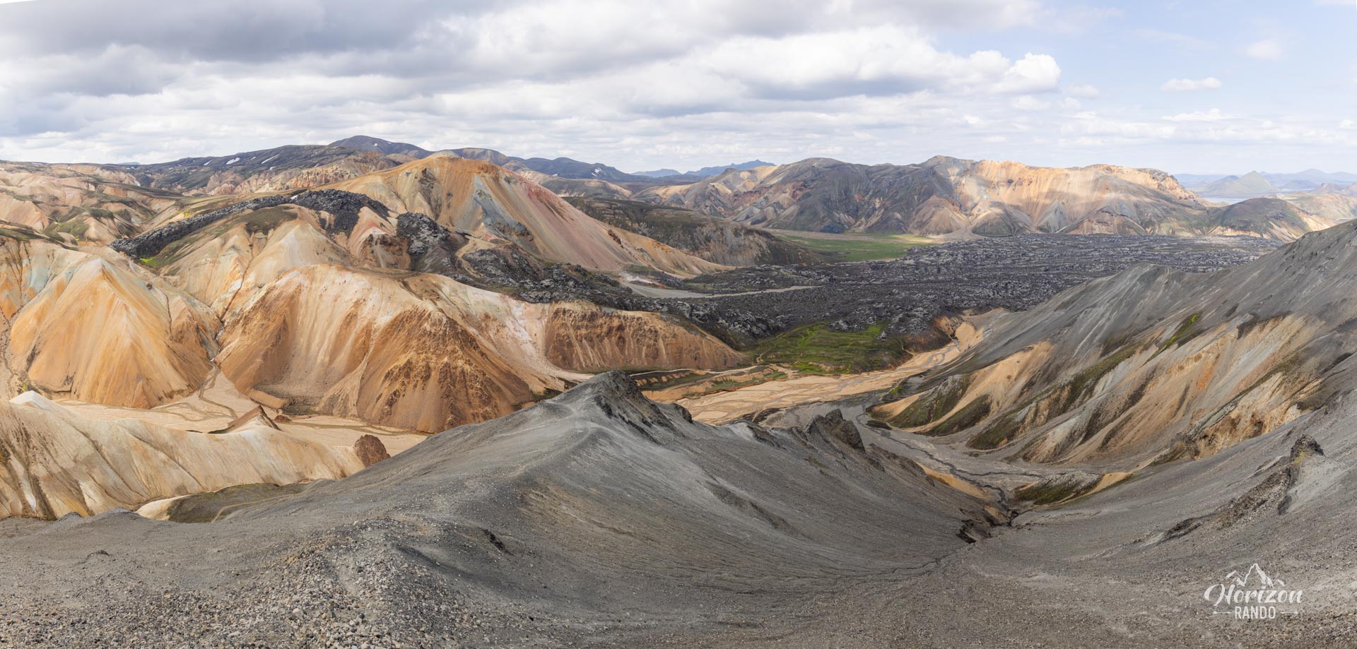
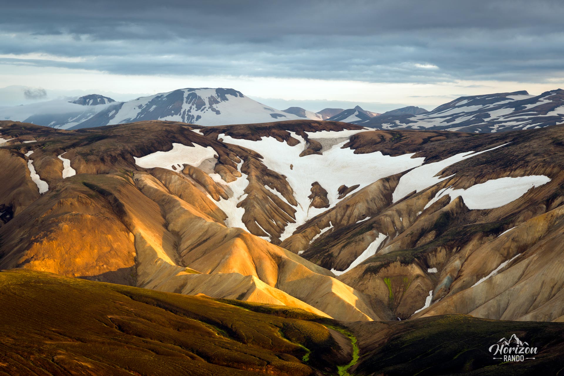
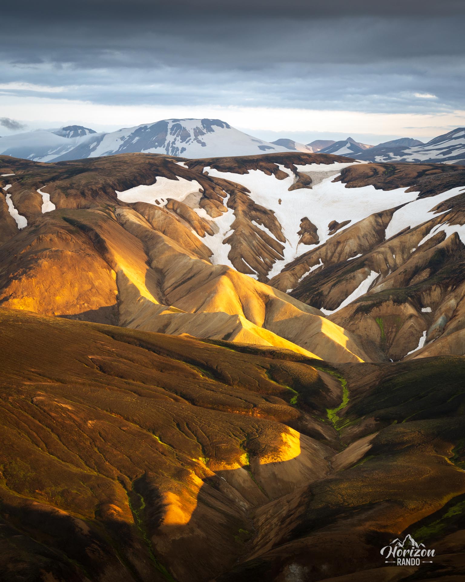
- The exceptional summit panorama: From Bláhnúkur, enjoy a 360° view of the volcanoes and mountains of Landmannalaugar in their stunning colors.
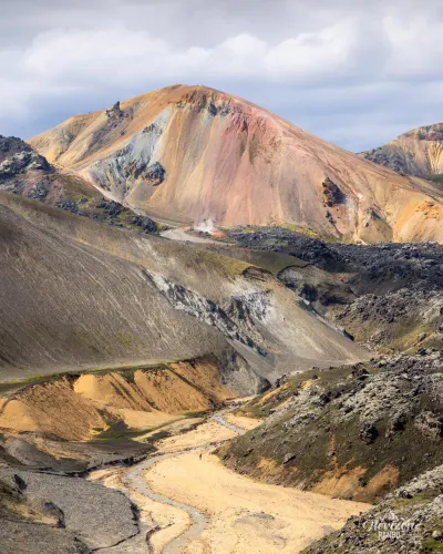
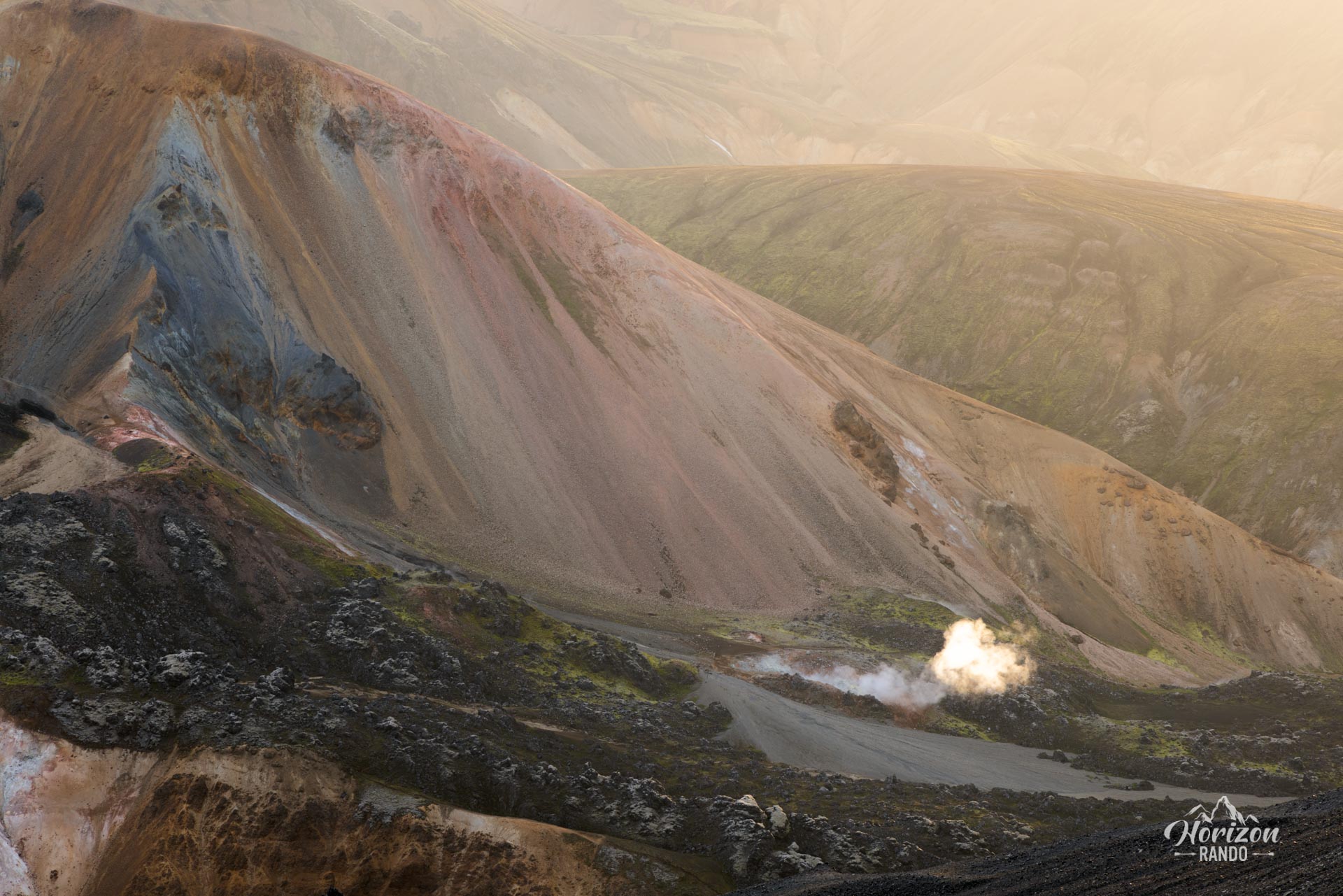
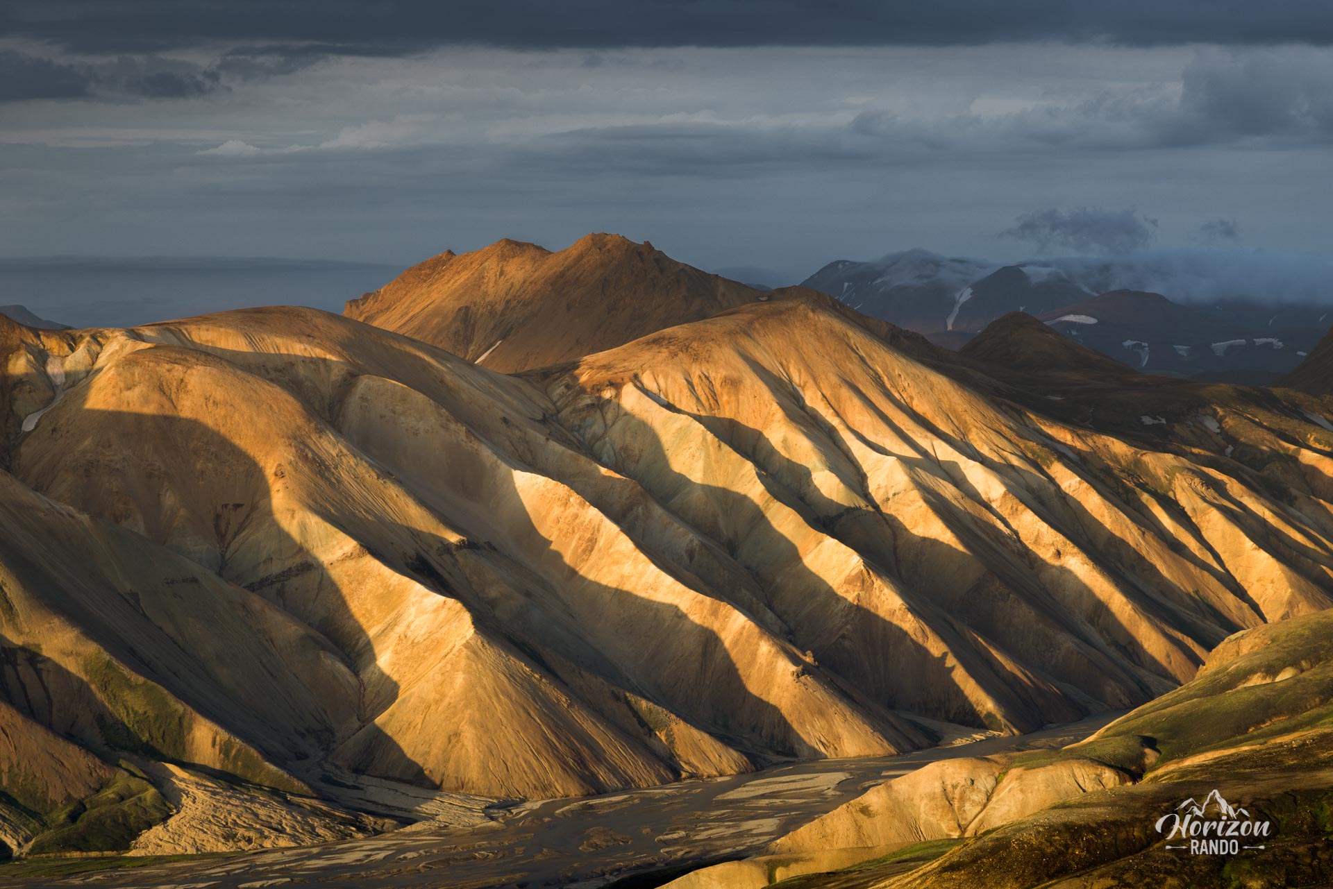
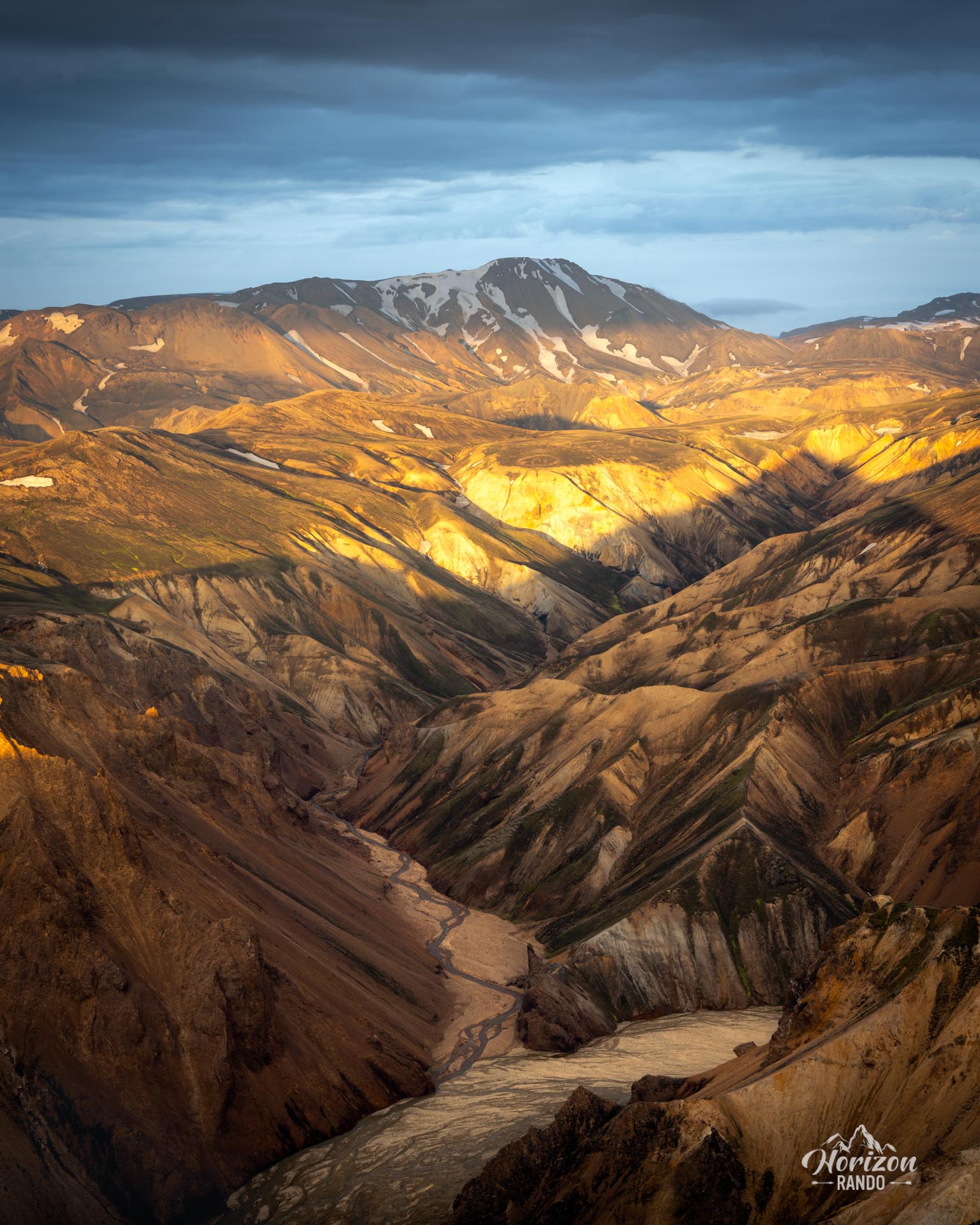
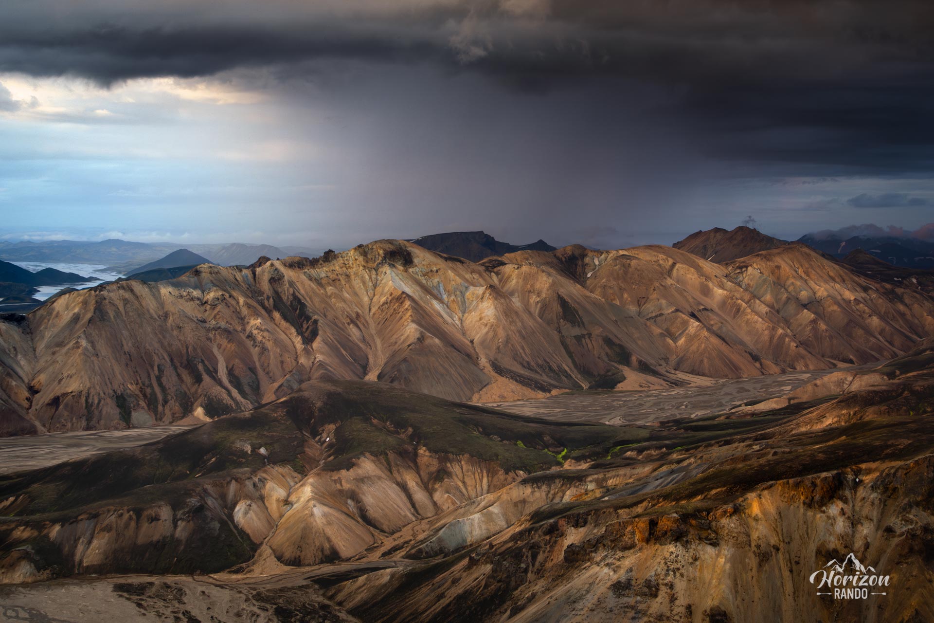
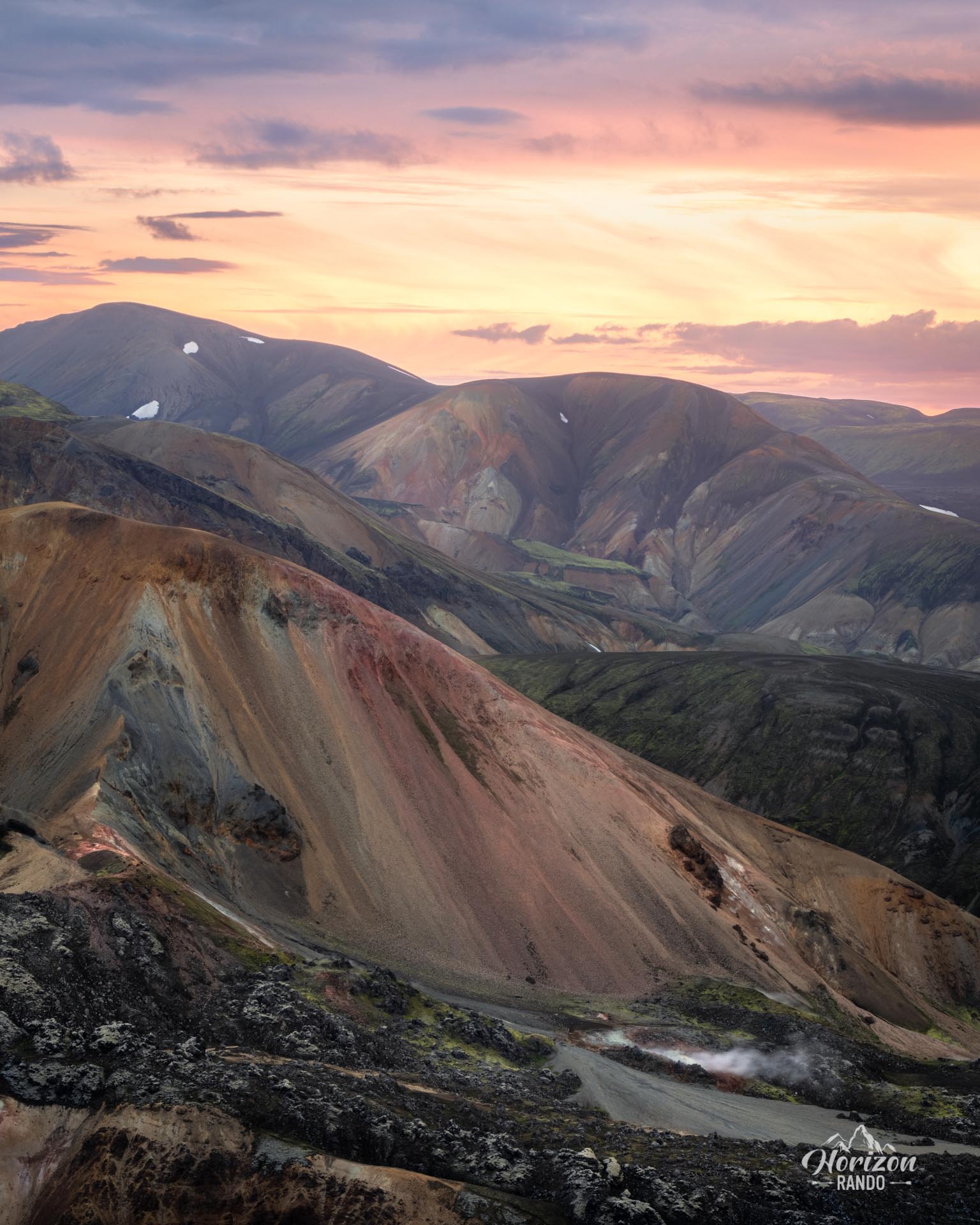
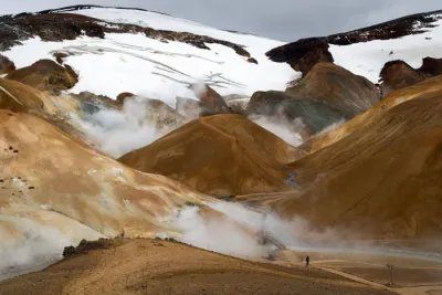
- Unique geological landscapes: Discover the brightly colored rhyolitic mountains (red, pink, green, blue, and yellow), which were created by volcanic and geothermal activity. The contrast between the colorful mountains, black lava desert, and glaciers in the distance is unreal.
- An immersive experience: Feel like you're exploring another world as you take in the extraordinary landscape unlike anything you've ever seen.
Practical information
Getting to Landmannalaugar
The roads in the highlands are only open in the summer. Several bus companies provide connections to Reykjavik. If you prefer to drive, you will need a 4WD vehicle to travel on F-roads. There are three options available to you:
- The F208 road from the north: the easiest option, with no river crossings.
- The F225 road: more picturesque but requires crossing several shallow rivers.
- The F208 road from the south: crosses several medium-depth rivers.
See my dedicated page on driving in the Highlands for more information.
Parking
It is now necessary to reserve a parking space before your arrival.
Hiking in Landmannalaugar
Check out my Landmannalaugar guide to help you choose your hikes.
Photos
See all 21 photos →
More hikes to do in Iceland
Nearby hikes














Printed from www.horizonrando.fr/en/iceland/blahnukur/