





Skaftafellsjökull Glacier Hike
Key facts about the hike
- Difficulty
- Very easy Hikes are rated from very easy to very hard: my difficulty scale
- Duration
- 1h15 Estimated time, short breaks included (photos, water, snacks), picnic not included: how it is calculated
- Distance
- 4.5km
- out and back
- Elevation gain
- 60m
- Type of route
- Out and back
- Maximum altitude
- 120 m
- Vertiginous Five levels, depending on how exposed the route is: the levels in detail
- No
- Marked
- Yes
- Popularity
- Moderate
- Region
- South
- Start point
- 64.01667, -16.96583
- Activity
- Hiking
Hike overview
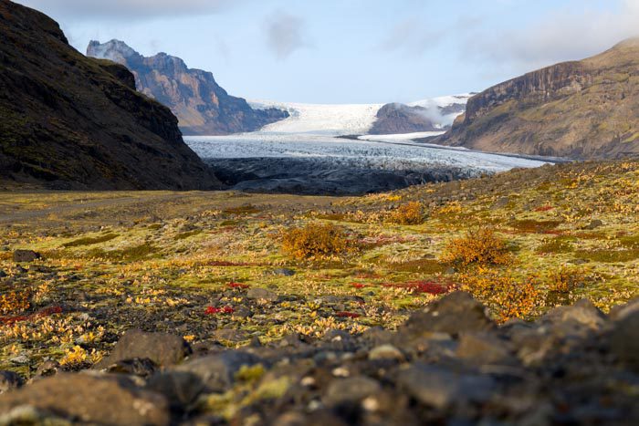
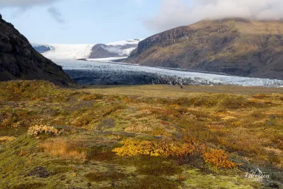
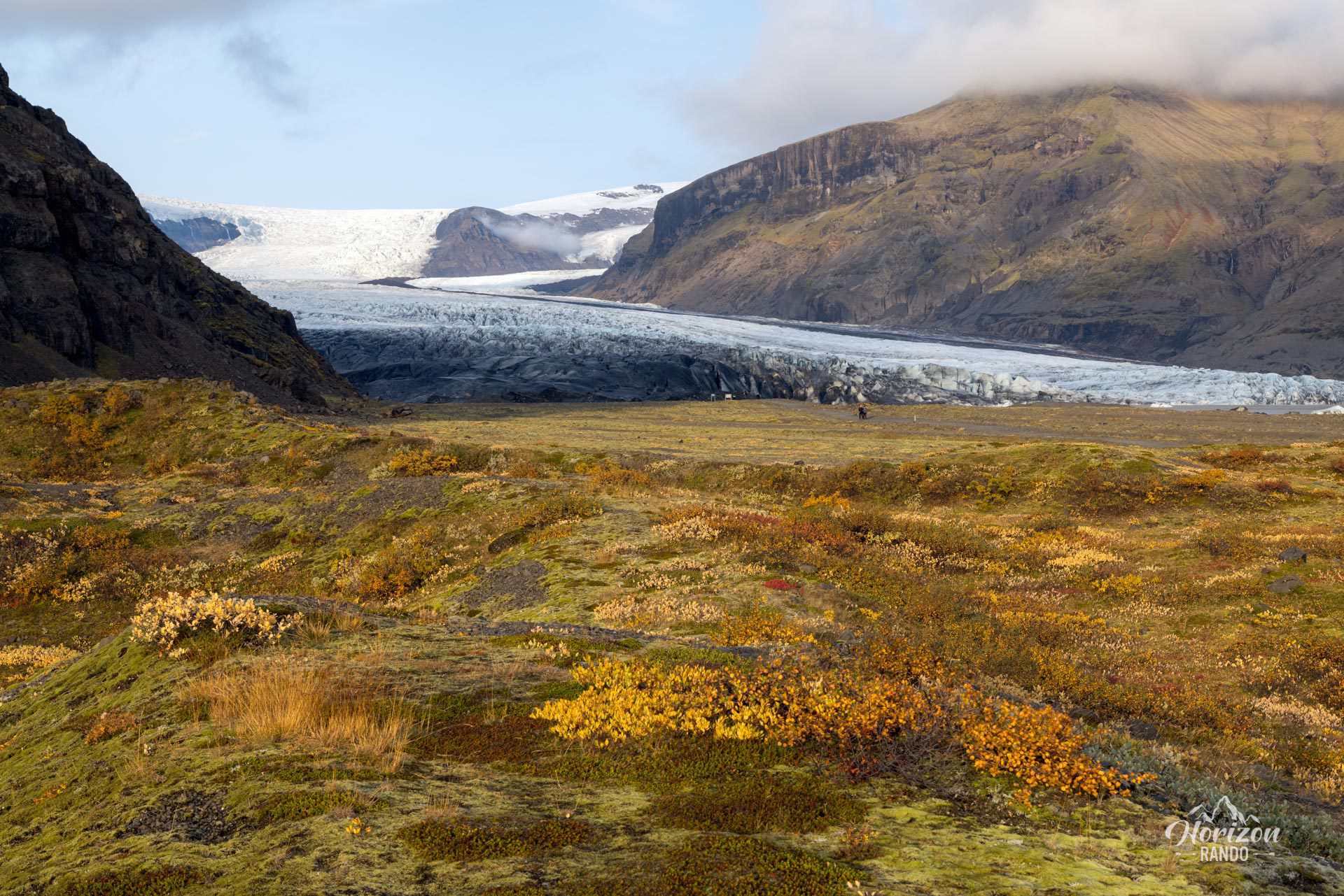
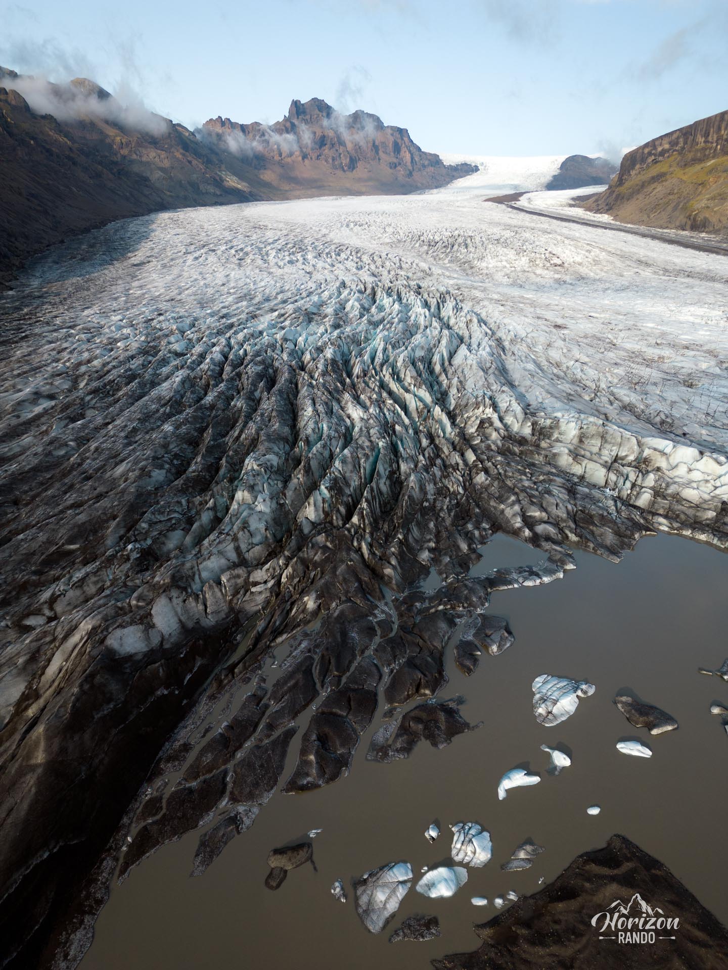
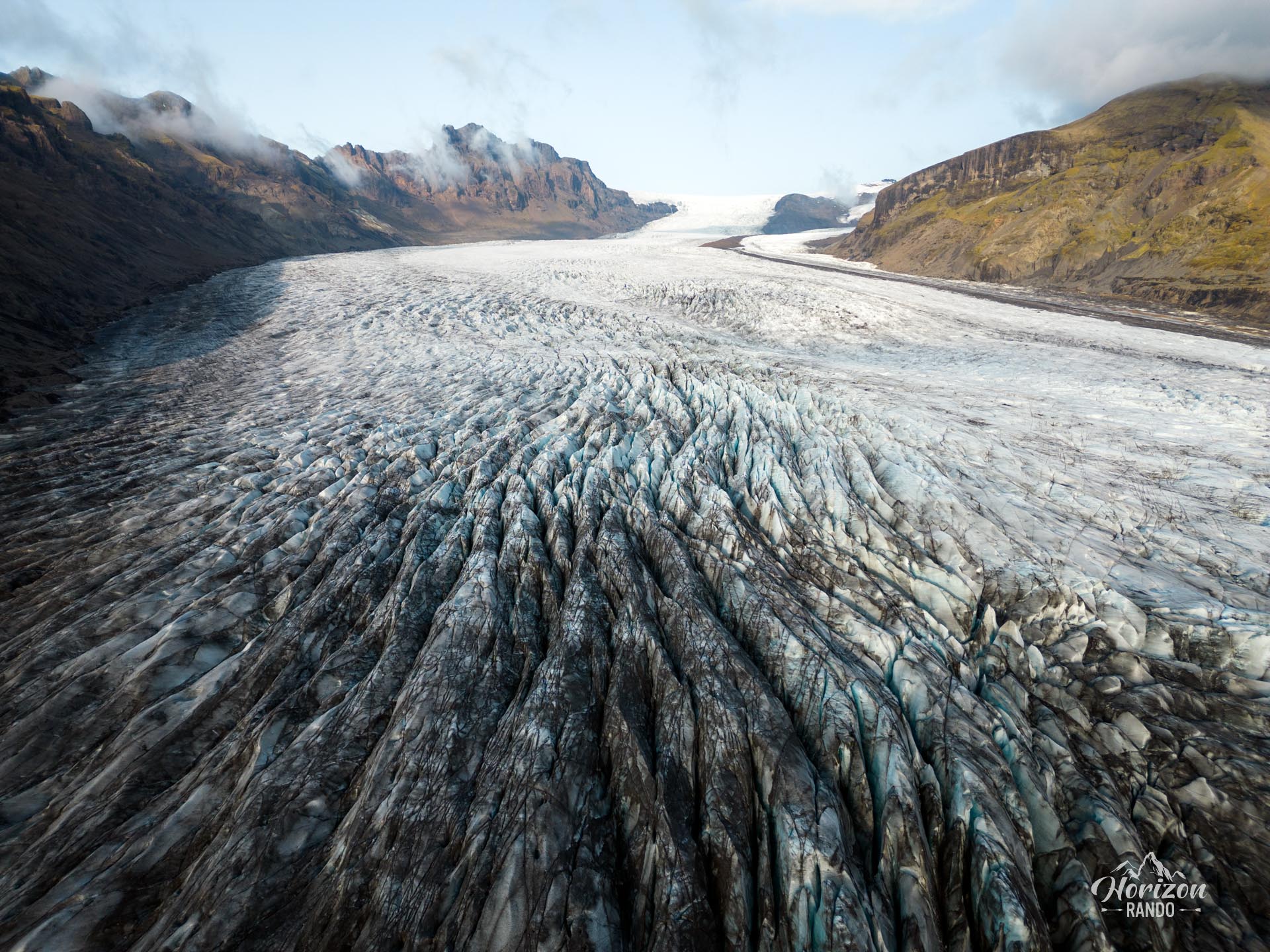
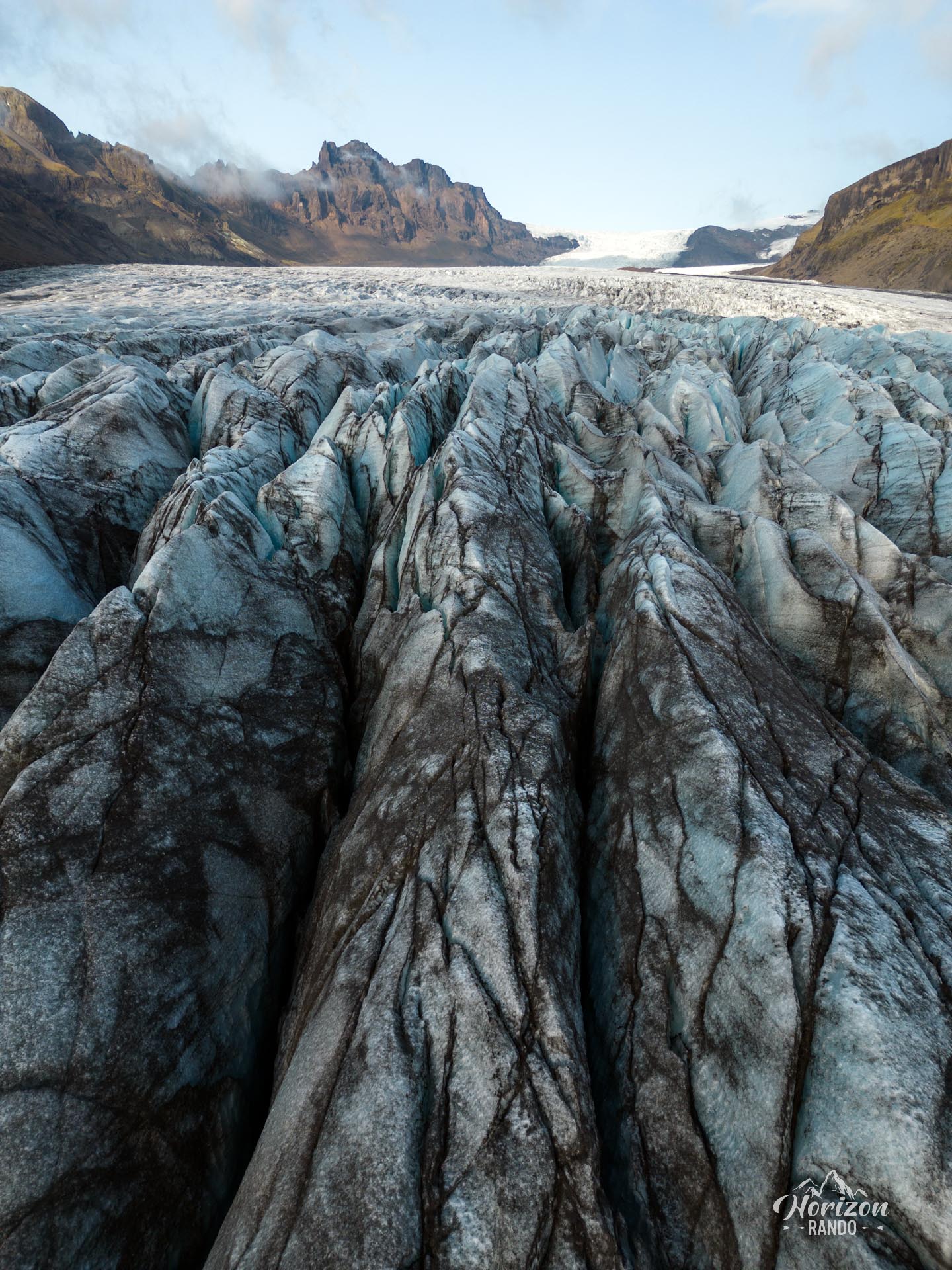
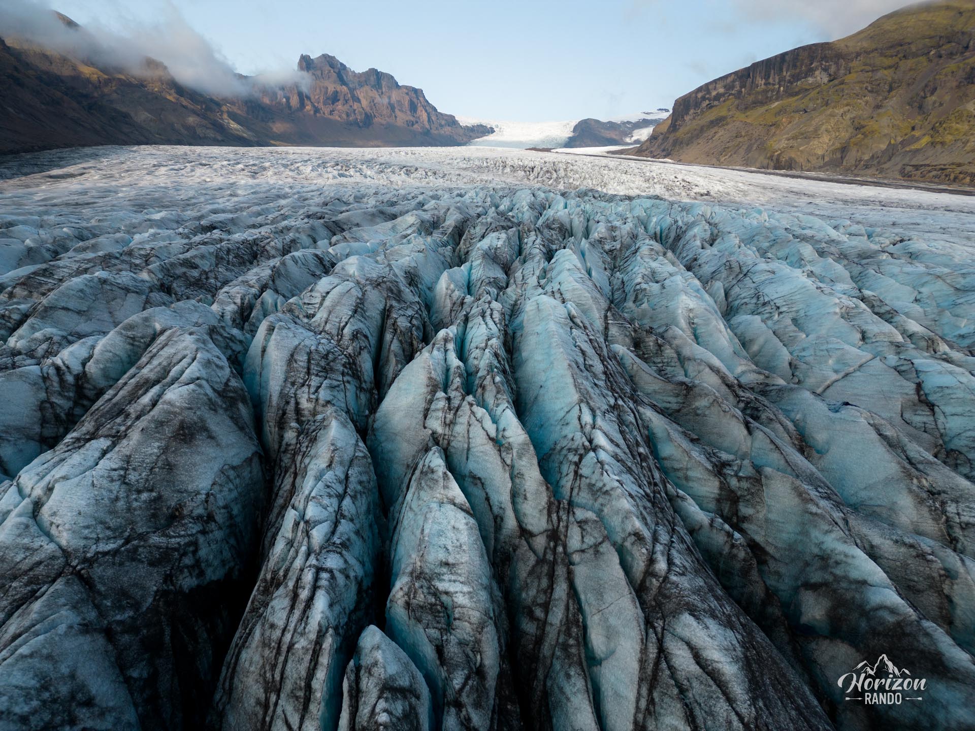
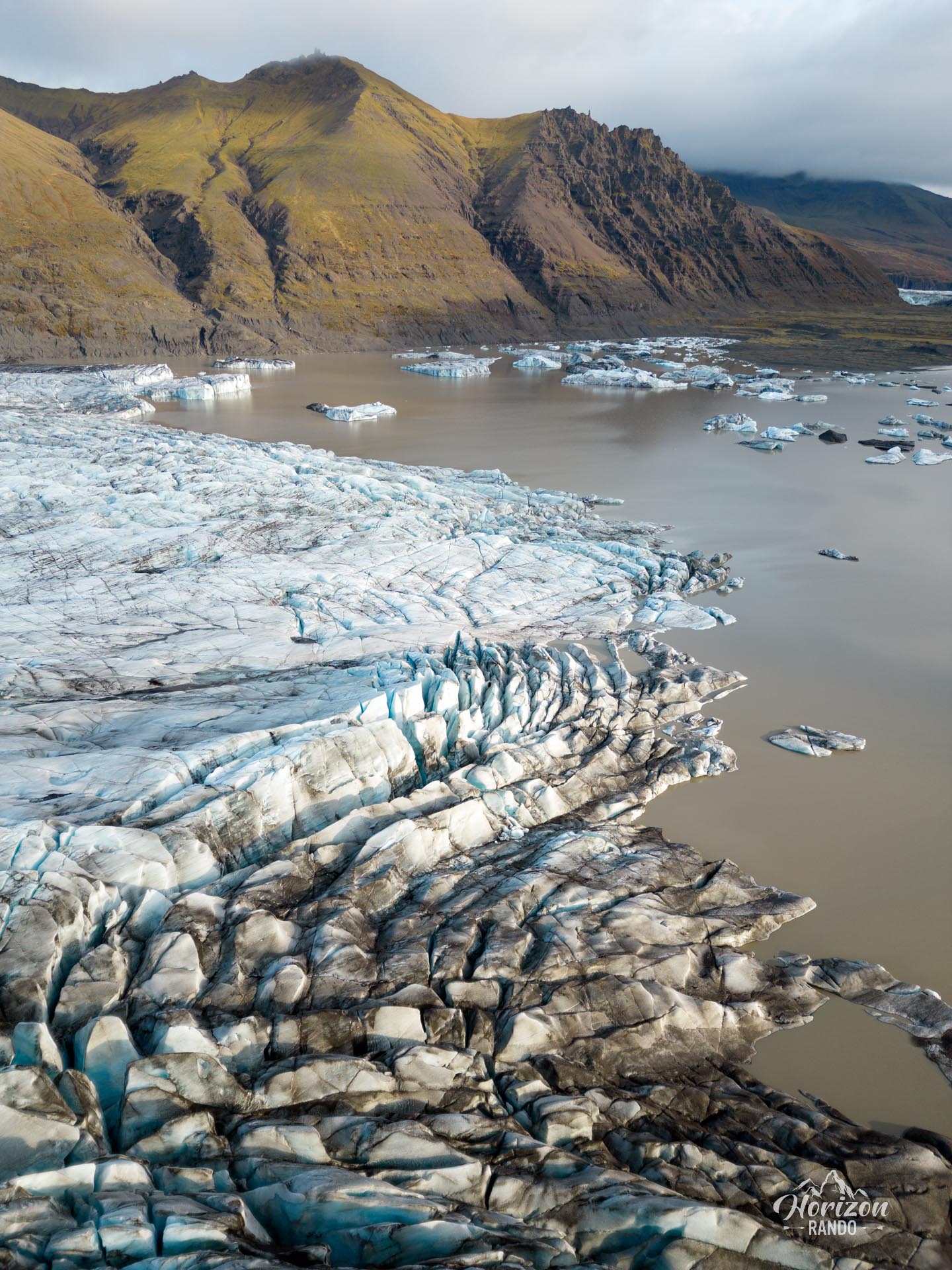
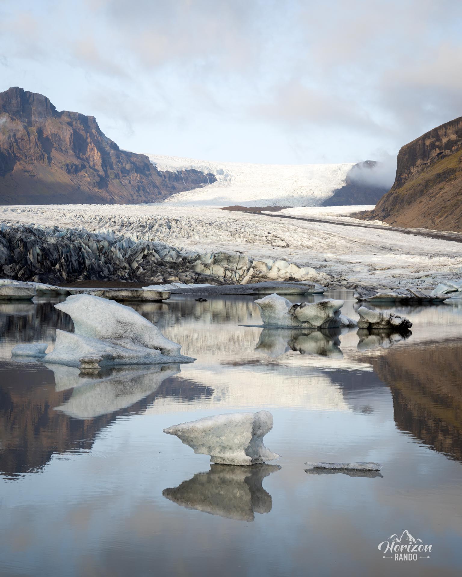
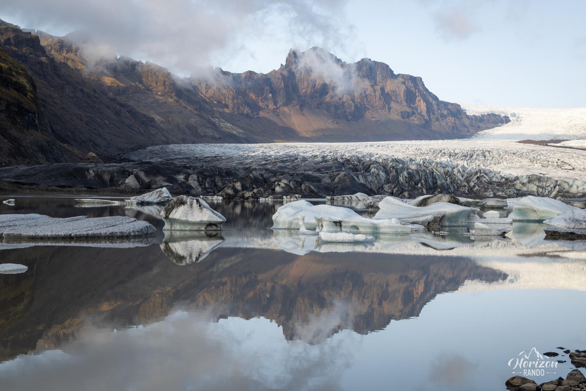
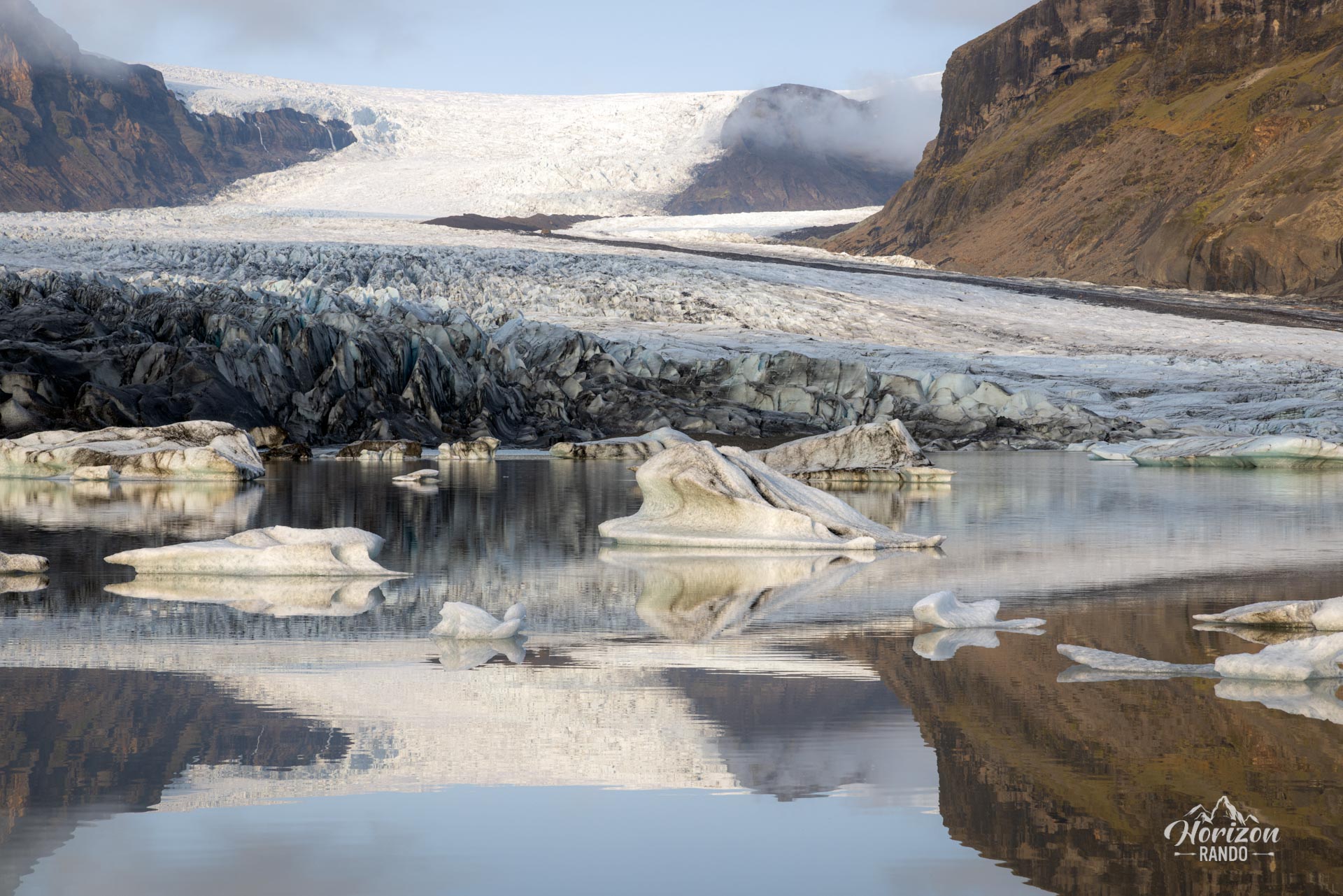
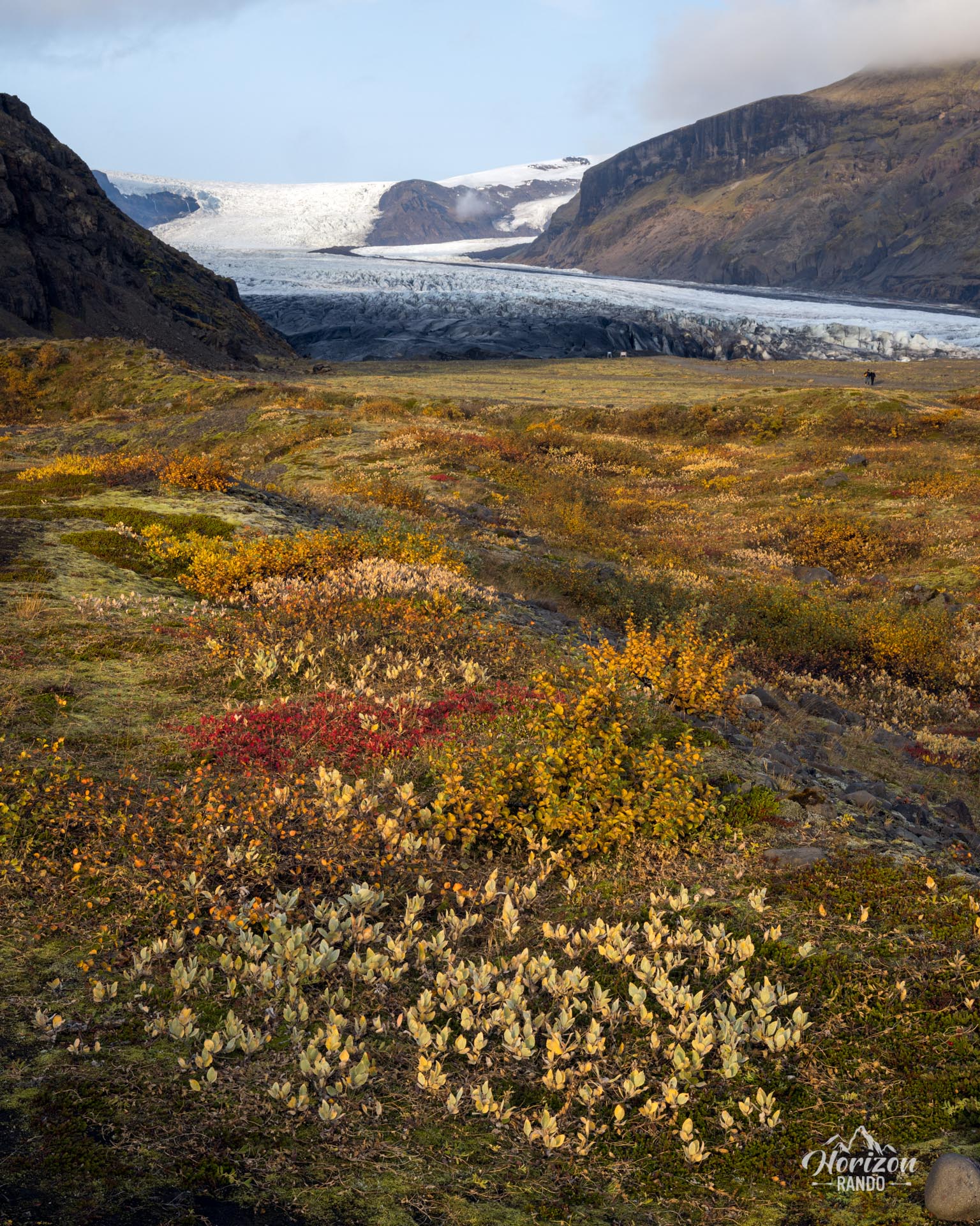
The Skaftafellsjökull hike takes you to the foot of this impressive glacier, one of the many extensions of Vatnajökull, Europe's largest ice cap, which covers 11 % of Iceland's surface area.
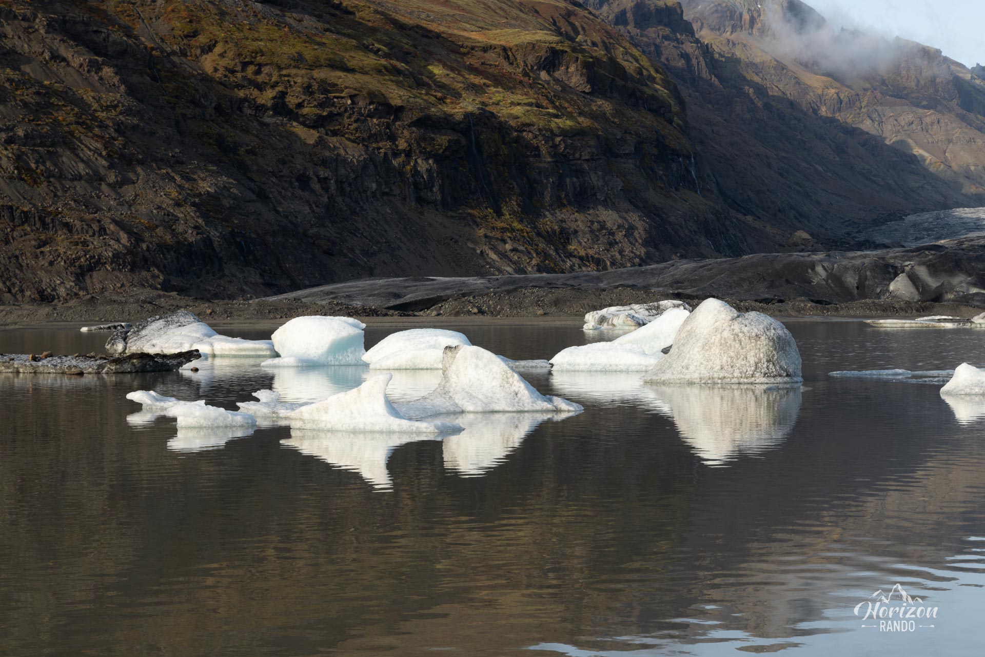
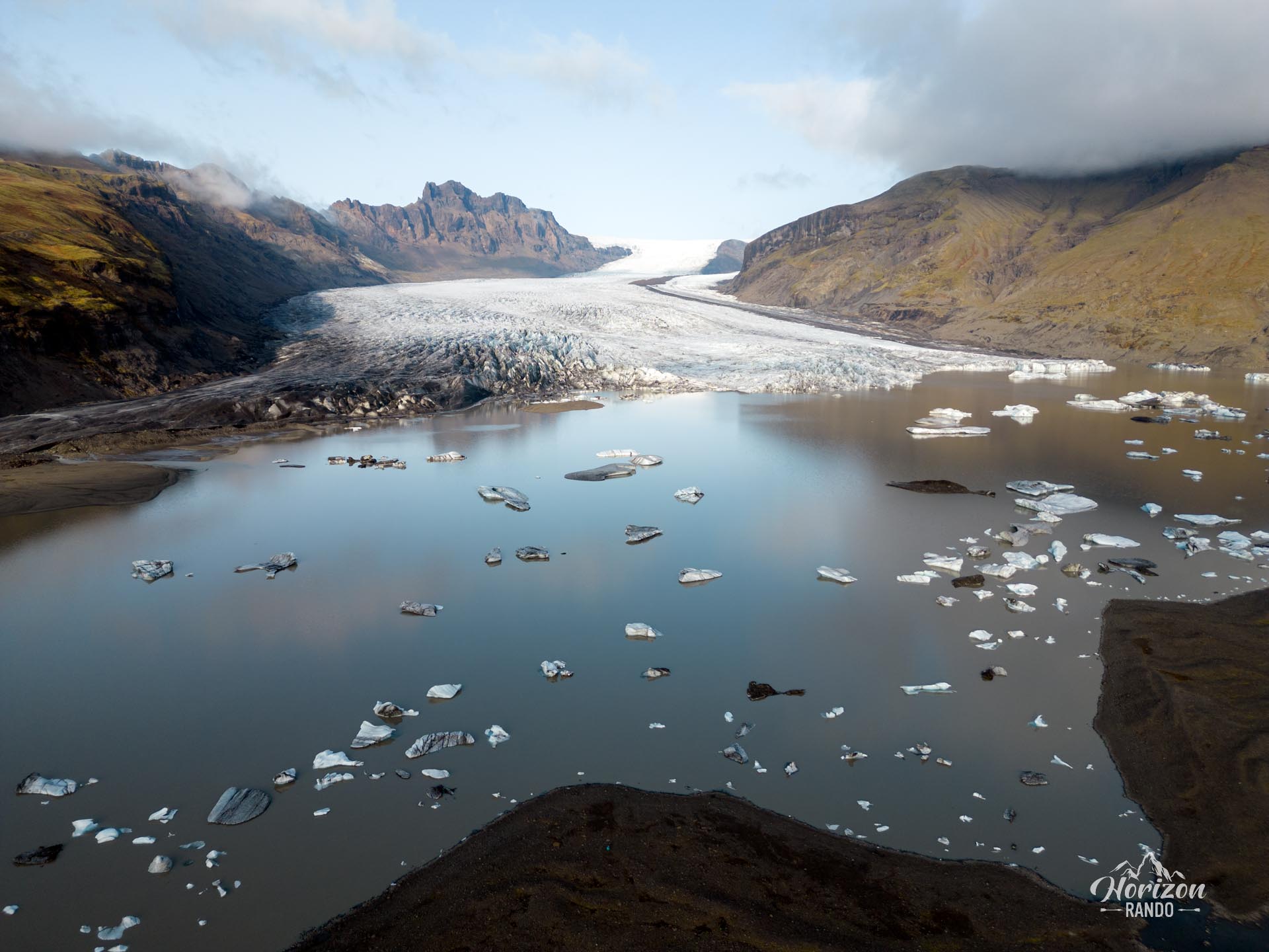
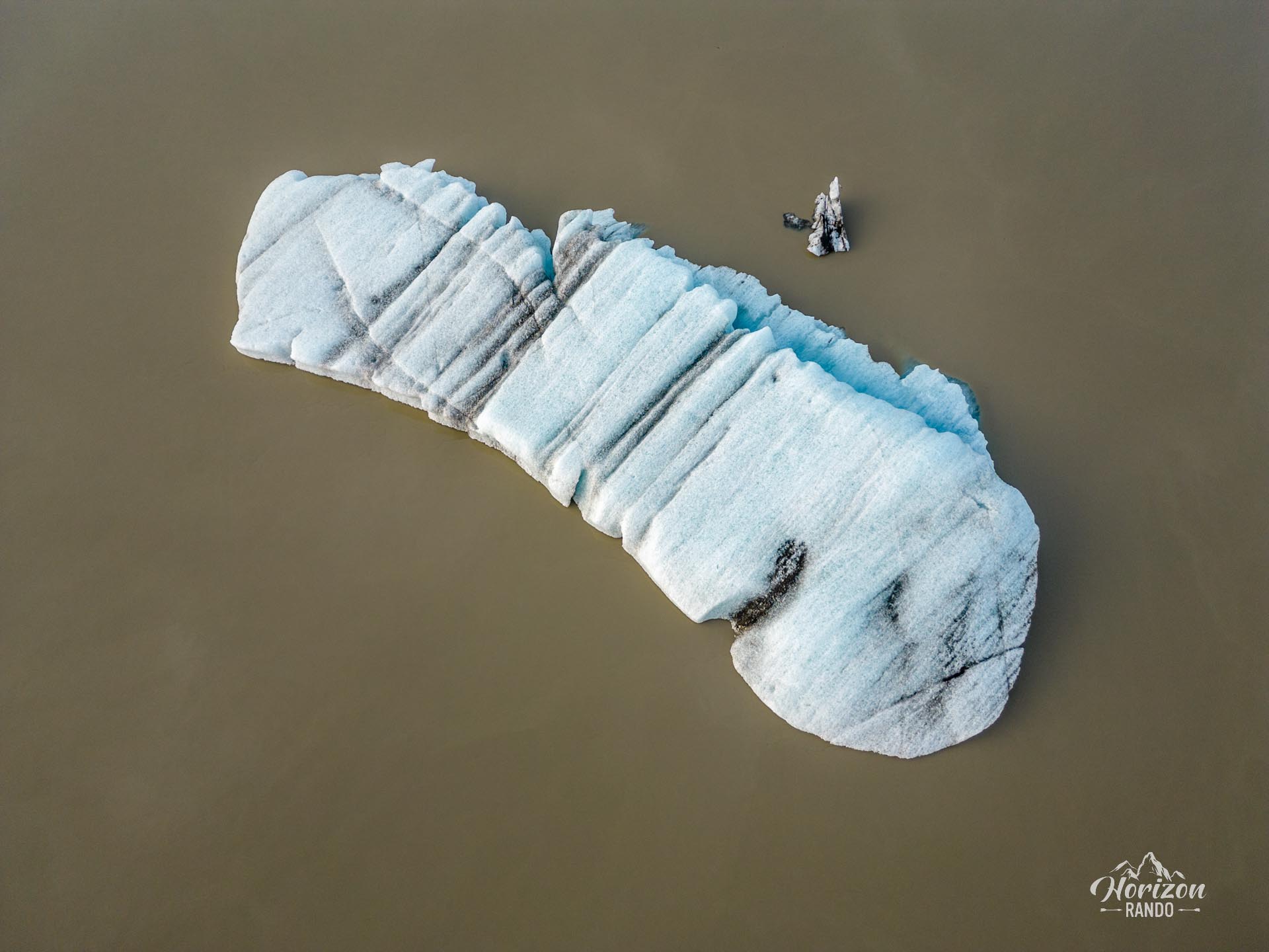
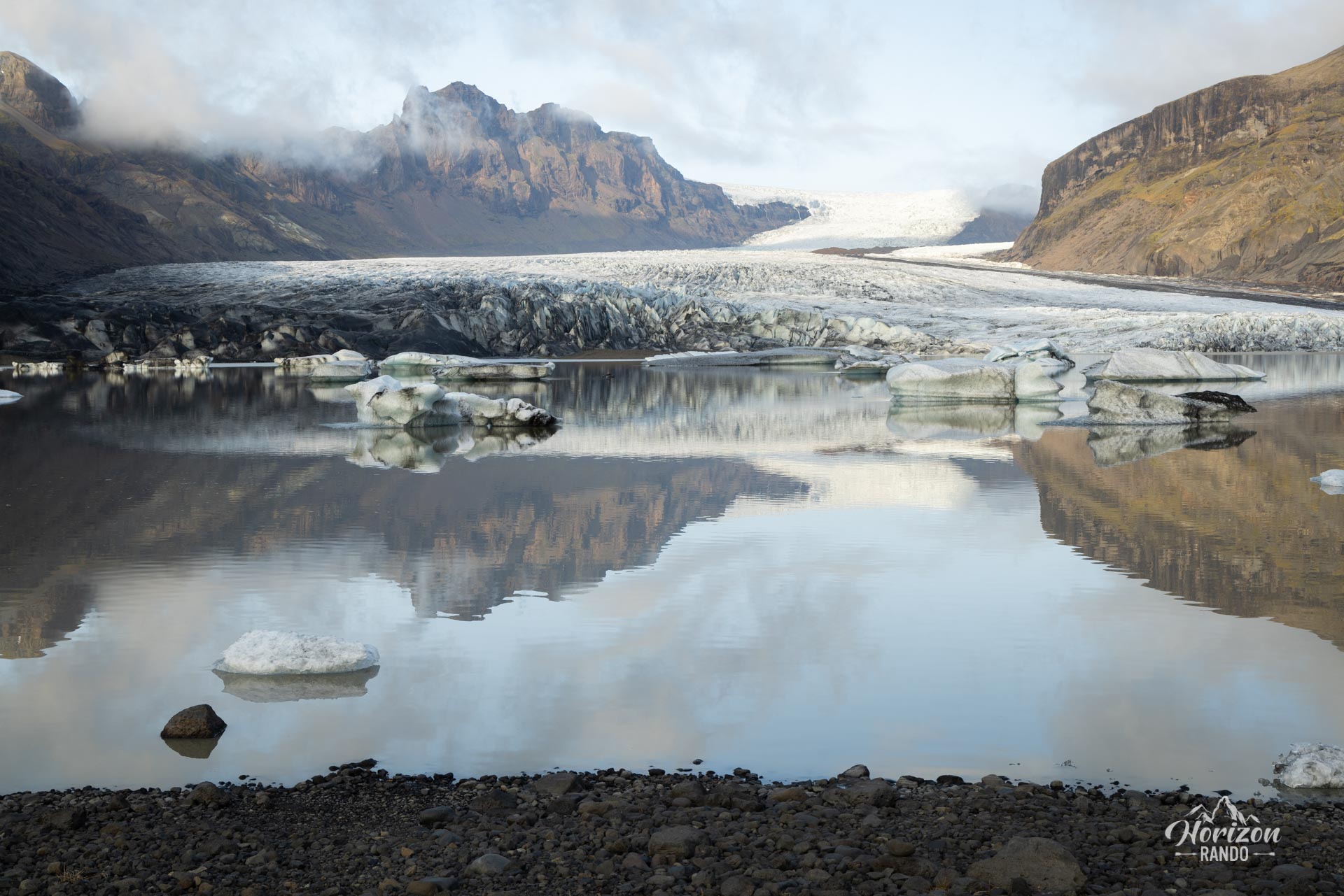
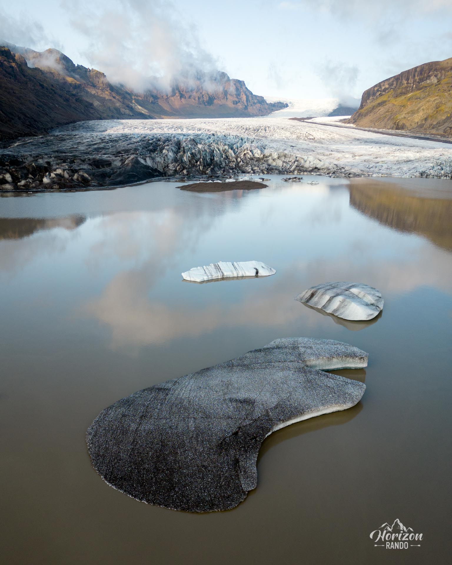
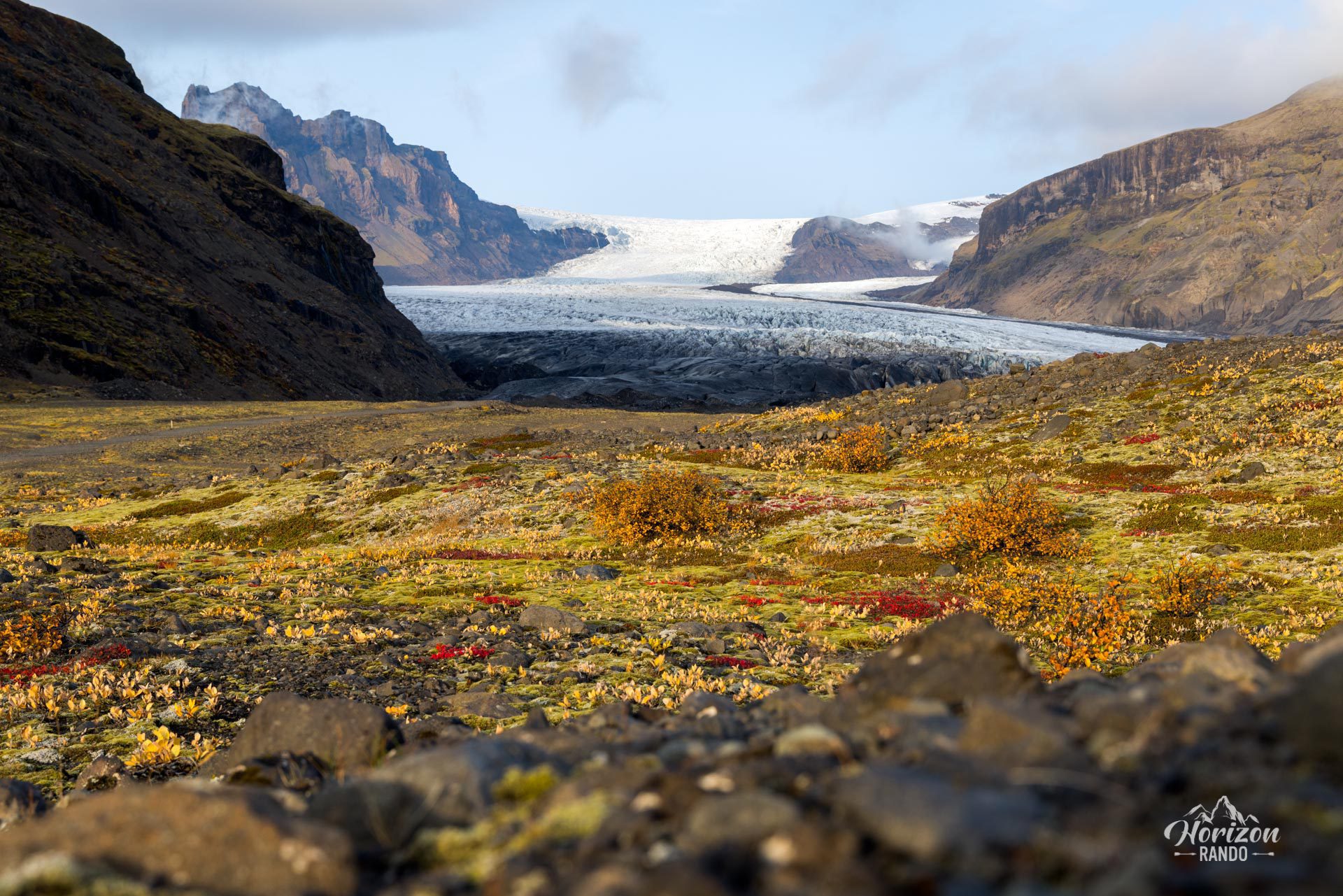
This easy, accessible trail offers a real-life lesson in glacial retreat. You will cross landscapes shaped by glacial erosion, observe how vegetation changes at different altitudes, and discover a lake dotted with small icebergs at the foot of the glacier.
Map and elevation profile of the hike
Skaftafellsjökull Glacier Hike
Difficulties of the hike
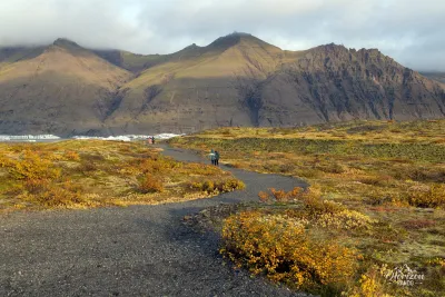
This route presents no technical difficulties. The approximately 4.5-kilometer round-trip trail is well marked and almost entirely flat, with only 60 meters of elevation gain.
What you'll love
- The proximity of the glacier: standing in front of the glacier and its lake dotted with icebergs is a remarkable sight, easily accessible.
- A life-size geology lesson: you will find detailed information at the visitor center at the start of the trail and on the information panels along the route.
Practical information
Parking
Paid parking at the Skaftafell Visitor Center (indicative price in 2025: 1,000 ISK, or about €7 per car).
Photos
See all 17 photos →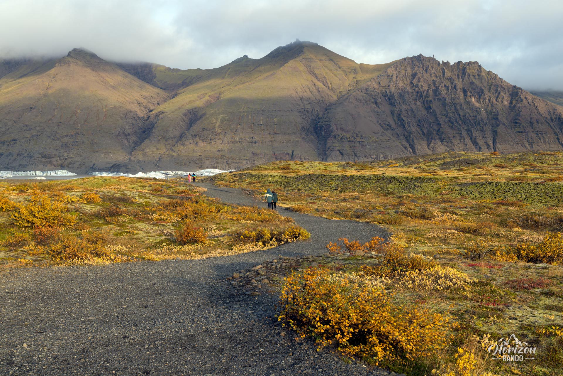
More hikes to do in Iceland
Nearby hikes
















Printed from www.horizonrando.fr/en/iceland/skaftafellsjokull-glacier/