





Fimmvörðuháls Trek
Key facts about the hike
- Difficulty
- Very hard Hikes are rated from very easy to very hard: my difficulty scale
- Duration
- 10h Estimated time, short breaks included (photos, water, snacks), picnic not included: how it is calculated
- Distance
- 23.8km
- Elevation gain
- 1,320m
- Elevation loss
- 1,100 m
- Type of route
- One way
- Maximum altitude
- 1,045 m
- Vertiginous Five levels, depending on how exposed the route is: the levels in detail
- Moderately
- Marked
- Yes
- Popularity
- Moderate
- Region
- South
- Start point
- 63.52785, -19.51260
- Activity
- Hiking
Hike overview
Embark on an unforgettable journey from Skógar to the Thórsmörk Valley via the legendary Fimmvörðuháls Pass. This hike is undoubtedly one of the most beautiful and demanding in Iceland.
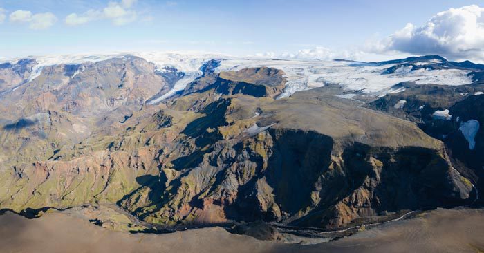
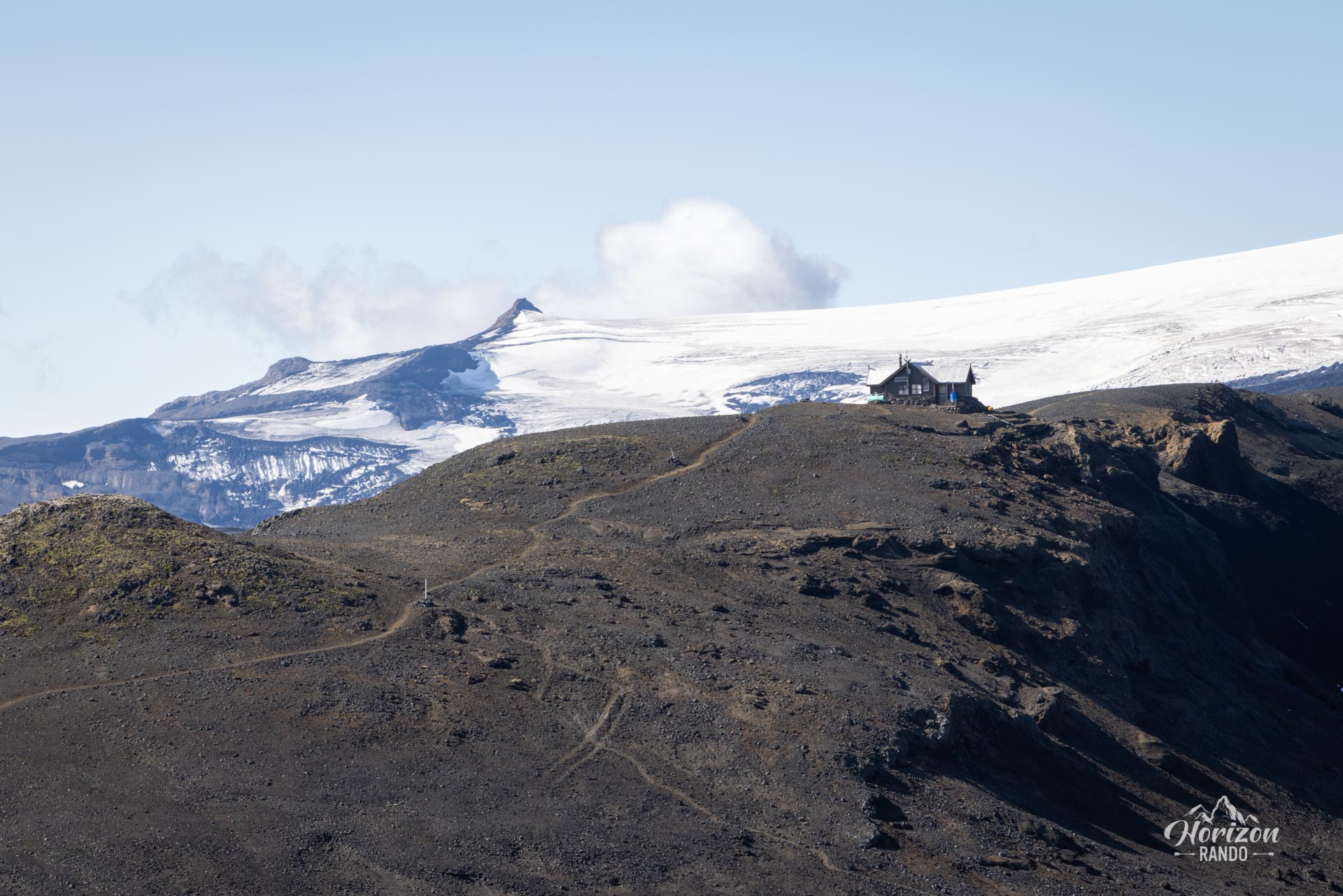
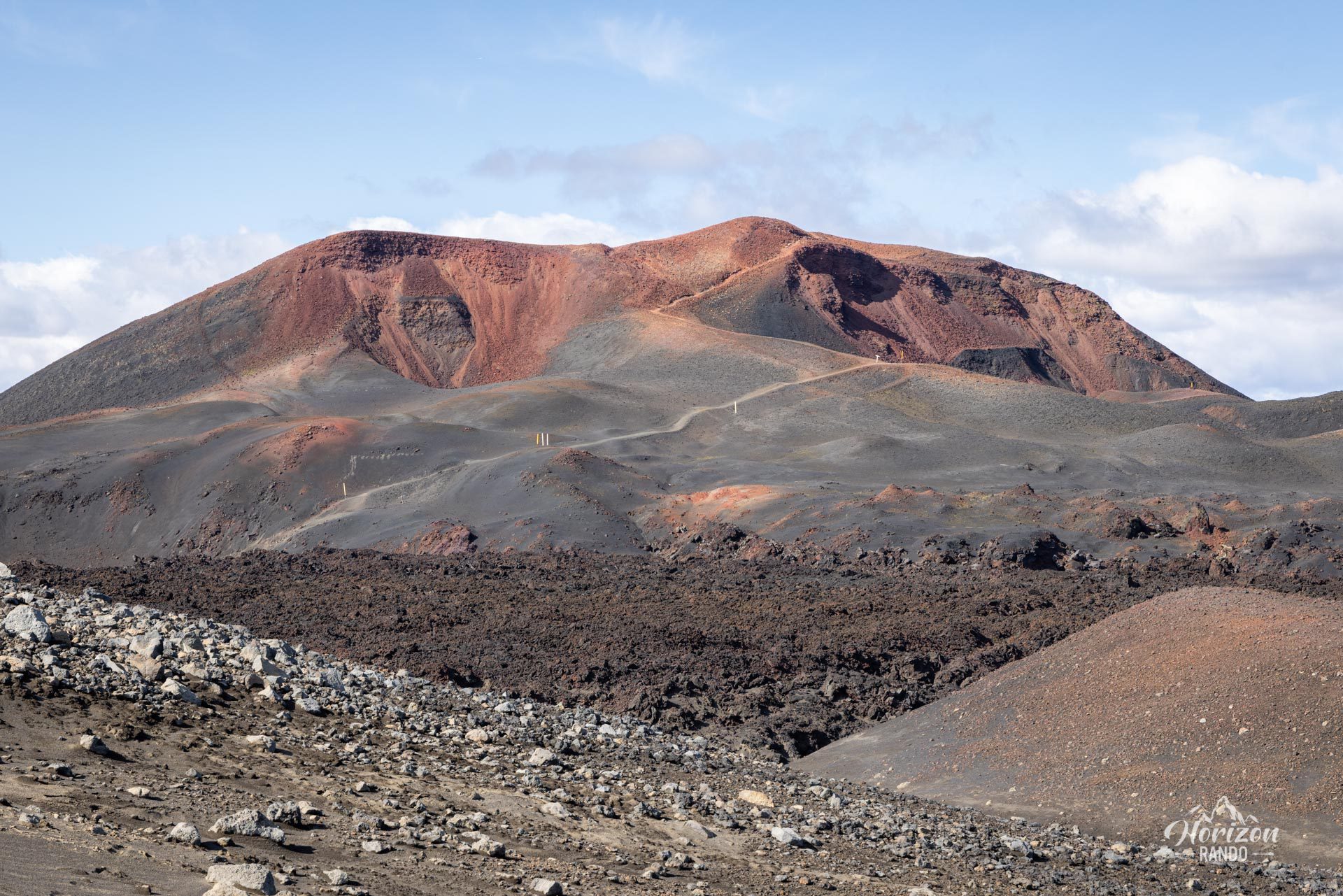
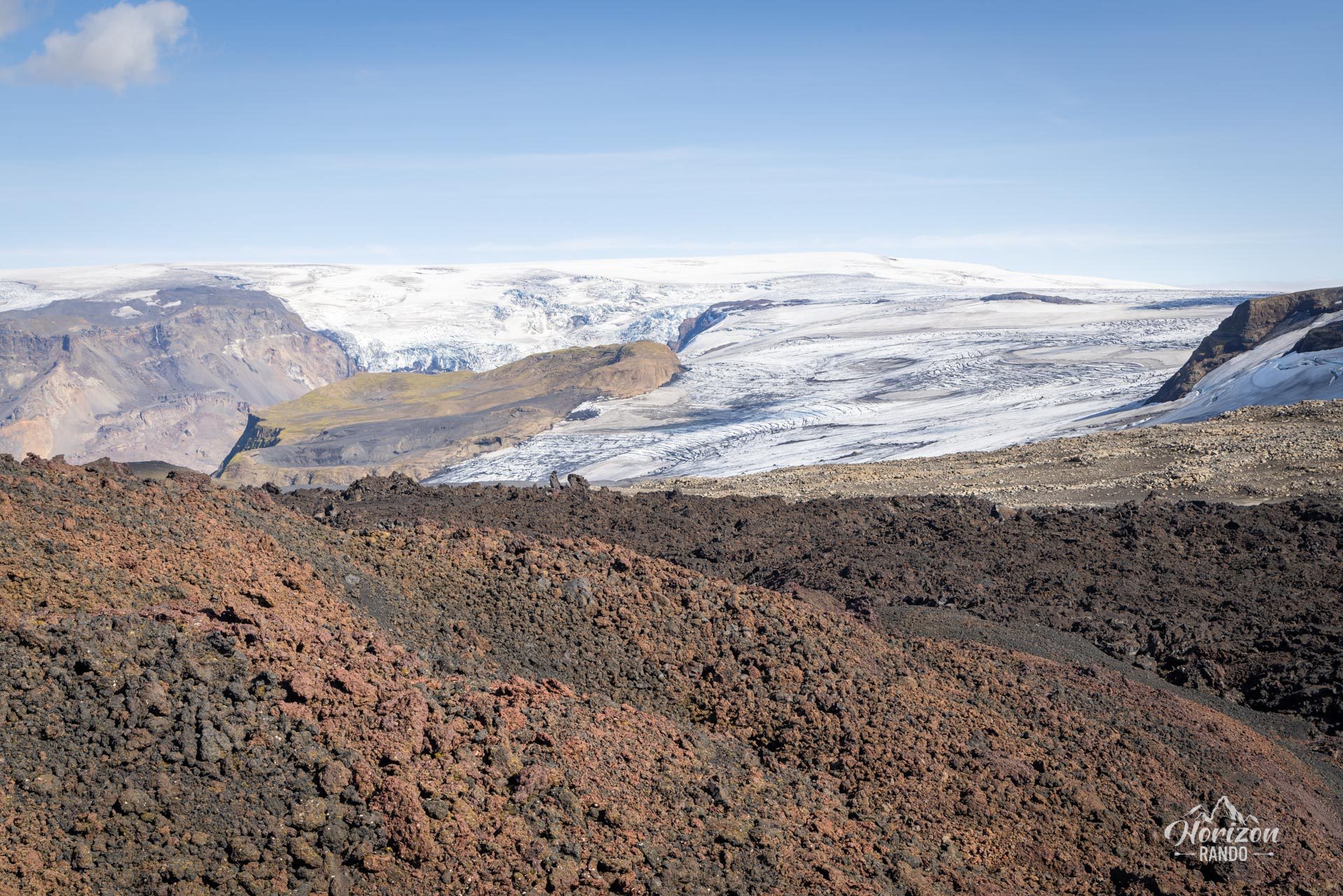
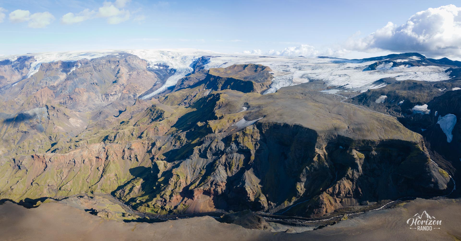
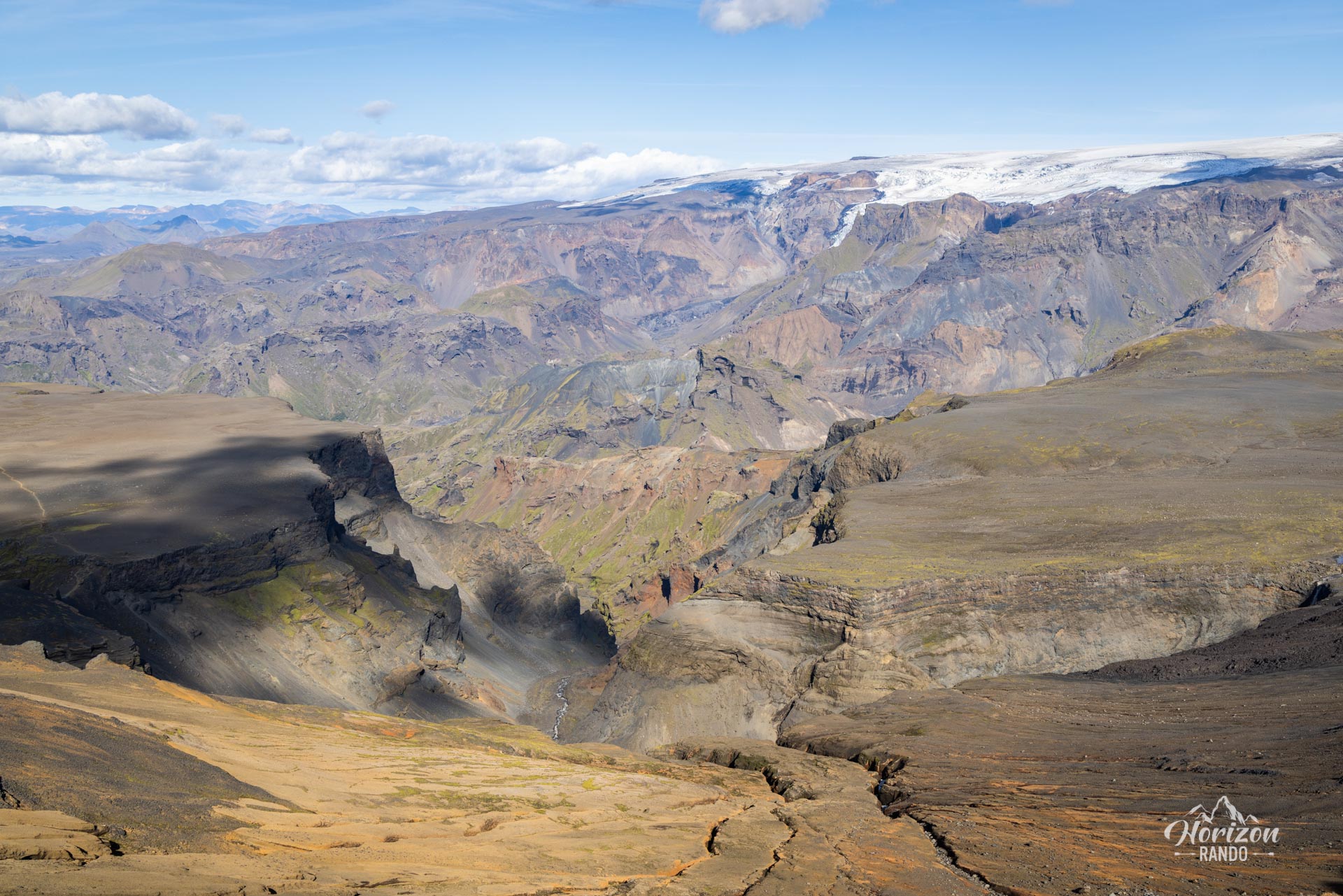
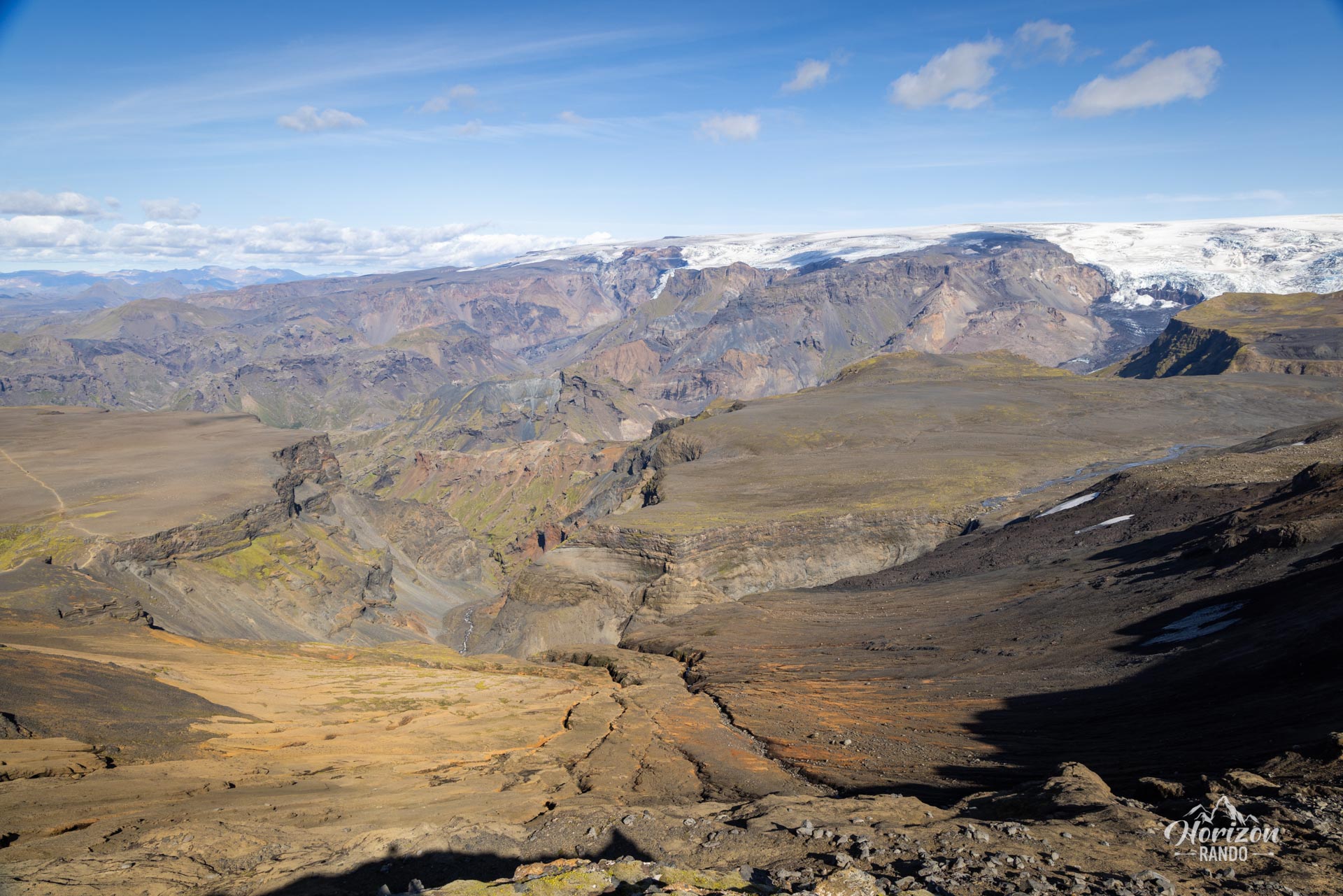
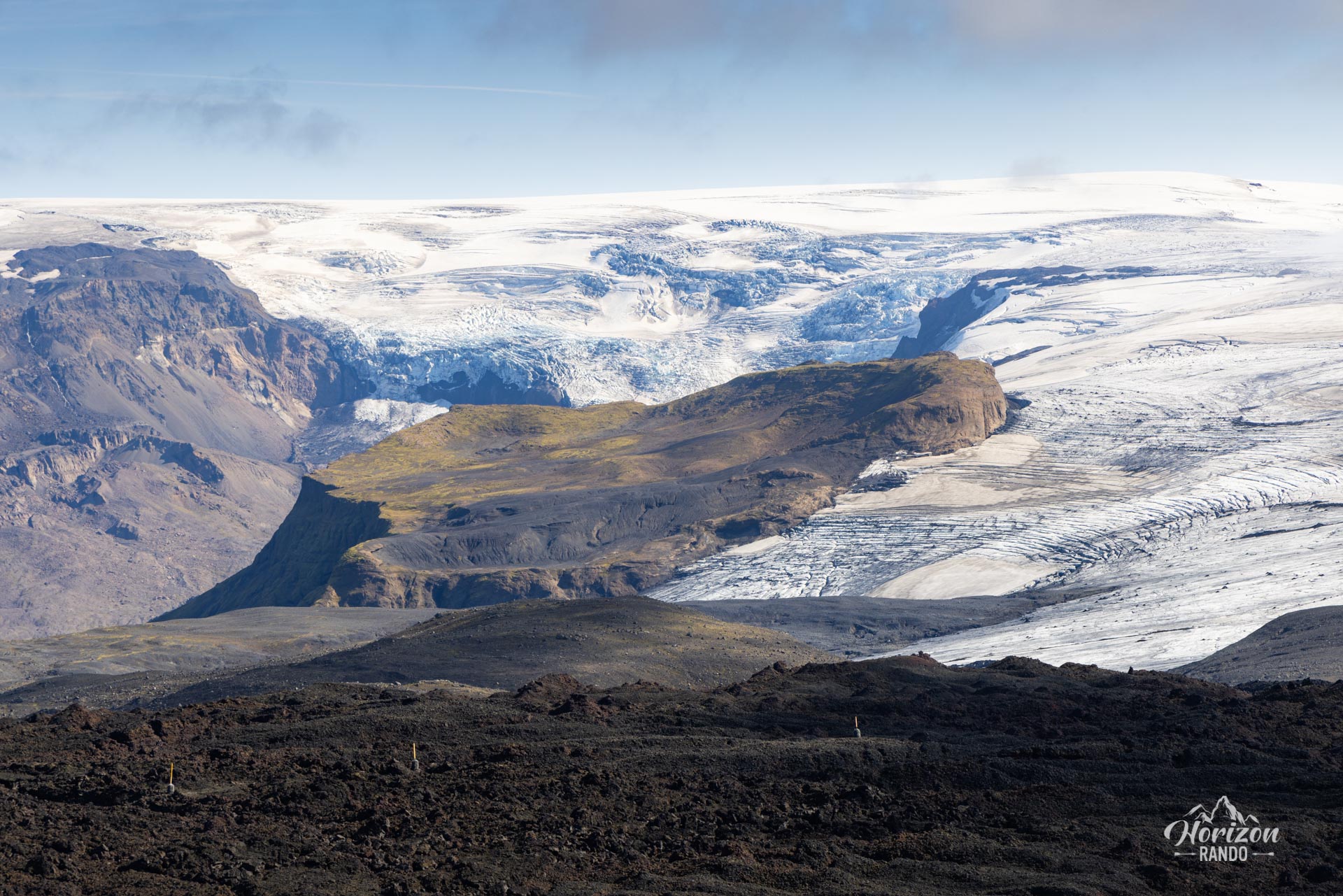
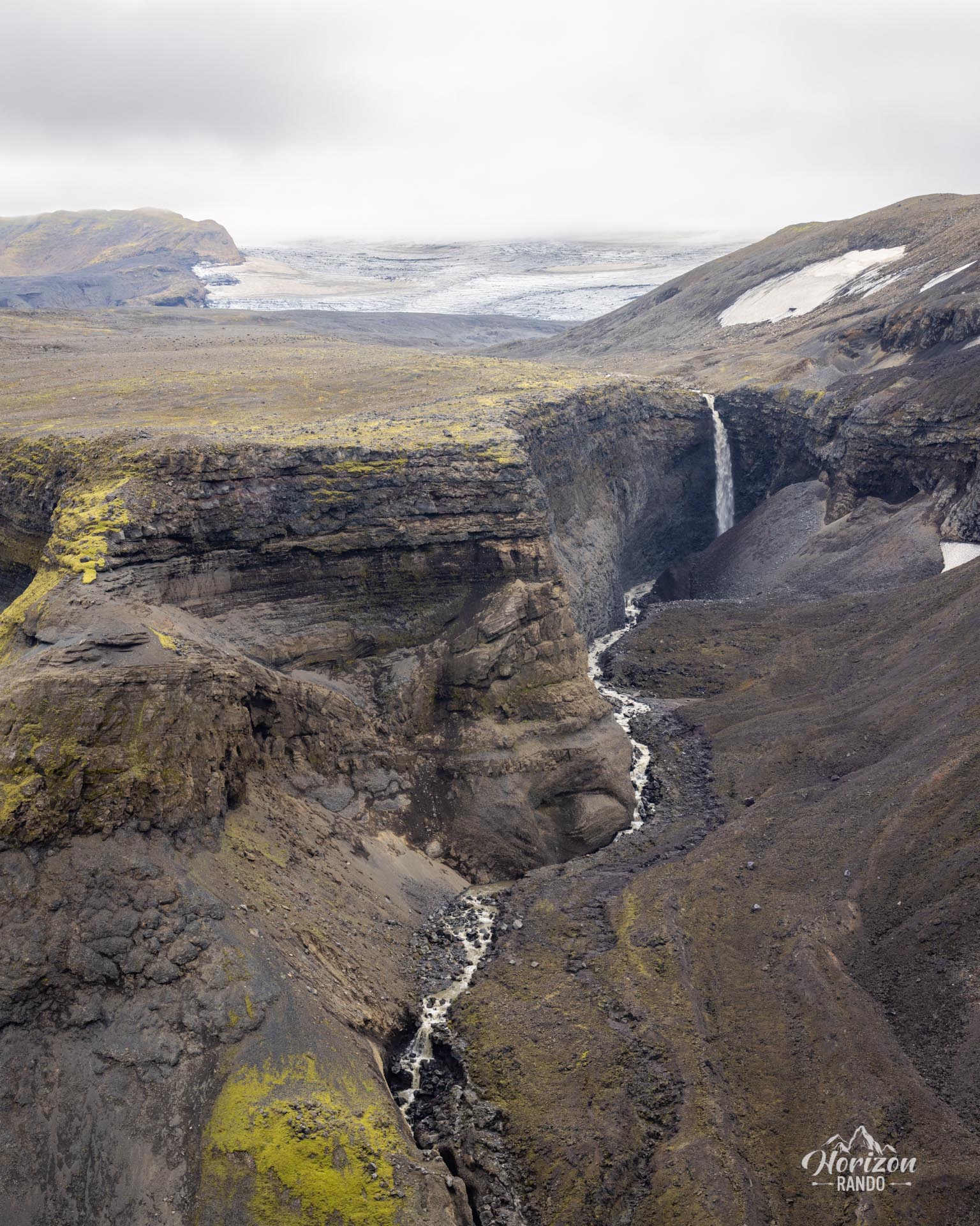
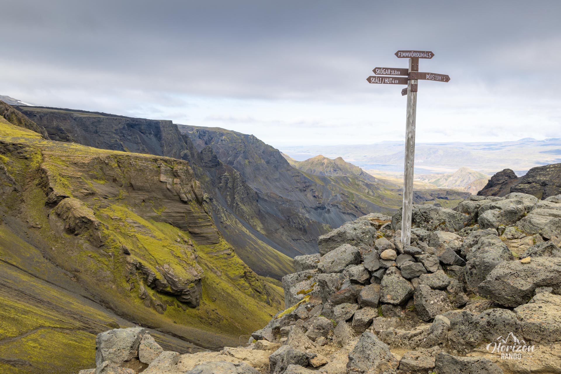
Nestled between the vast glaciers Eyjafjallajökull and Mýrdalsjökull, the pass reaches an elevation of 1,042 meters. The landscape around the pass was transformed in 2010 by the spectacular eruption of Eyjafjallajökull, which paralyzed air traffic for weeks and formed two craters: Móði and Magni, named after Thor's sons.
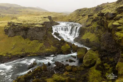
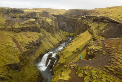
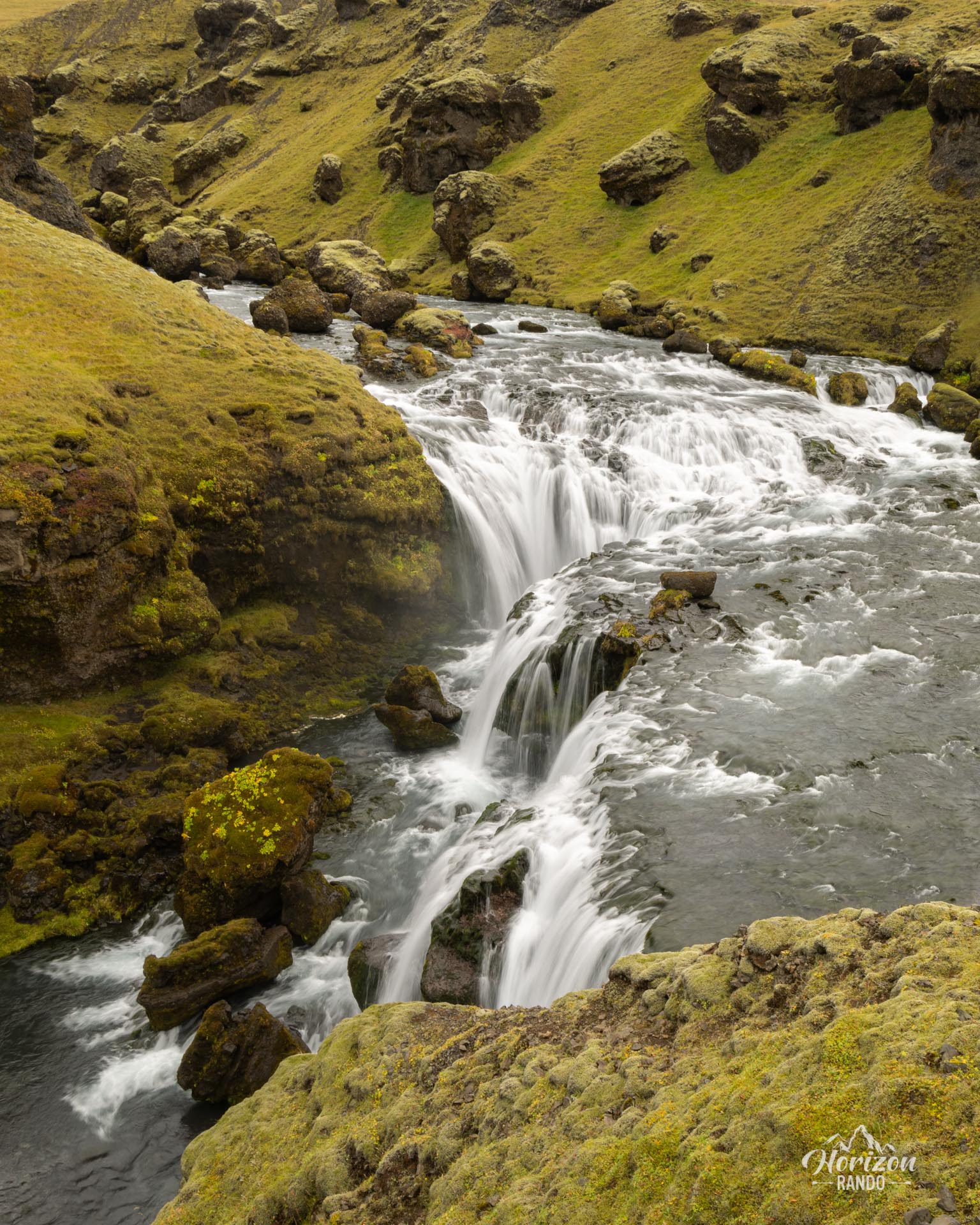
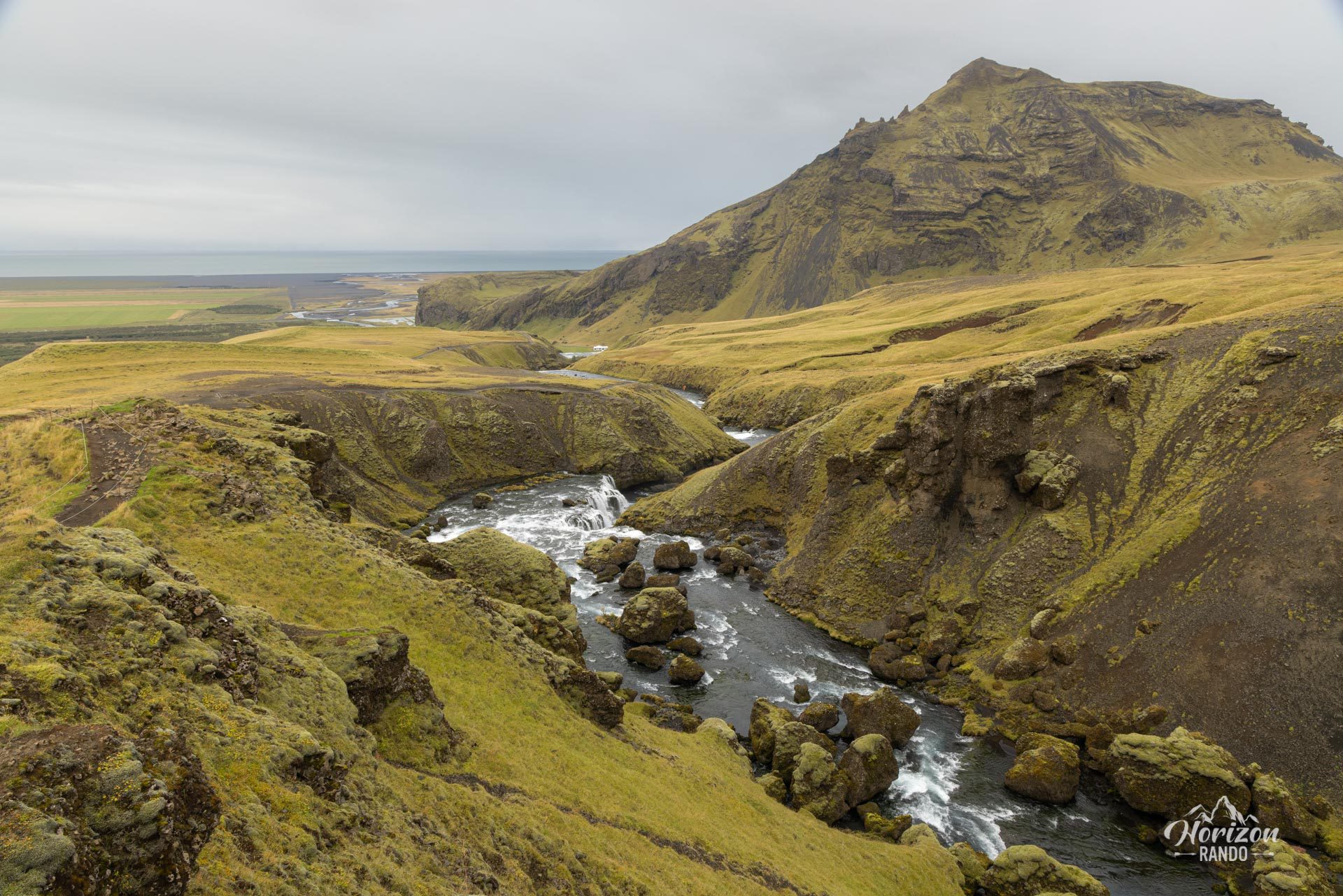
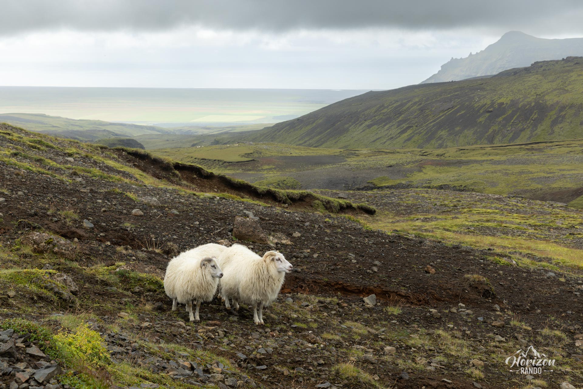
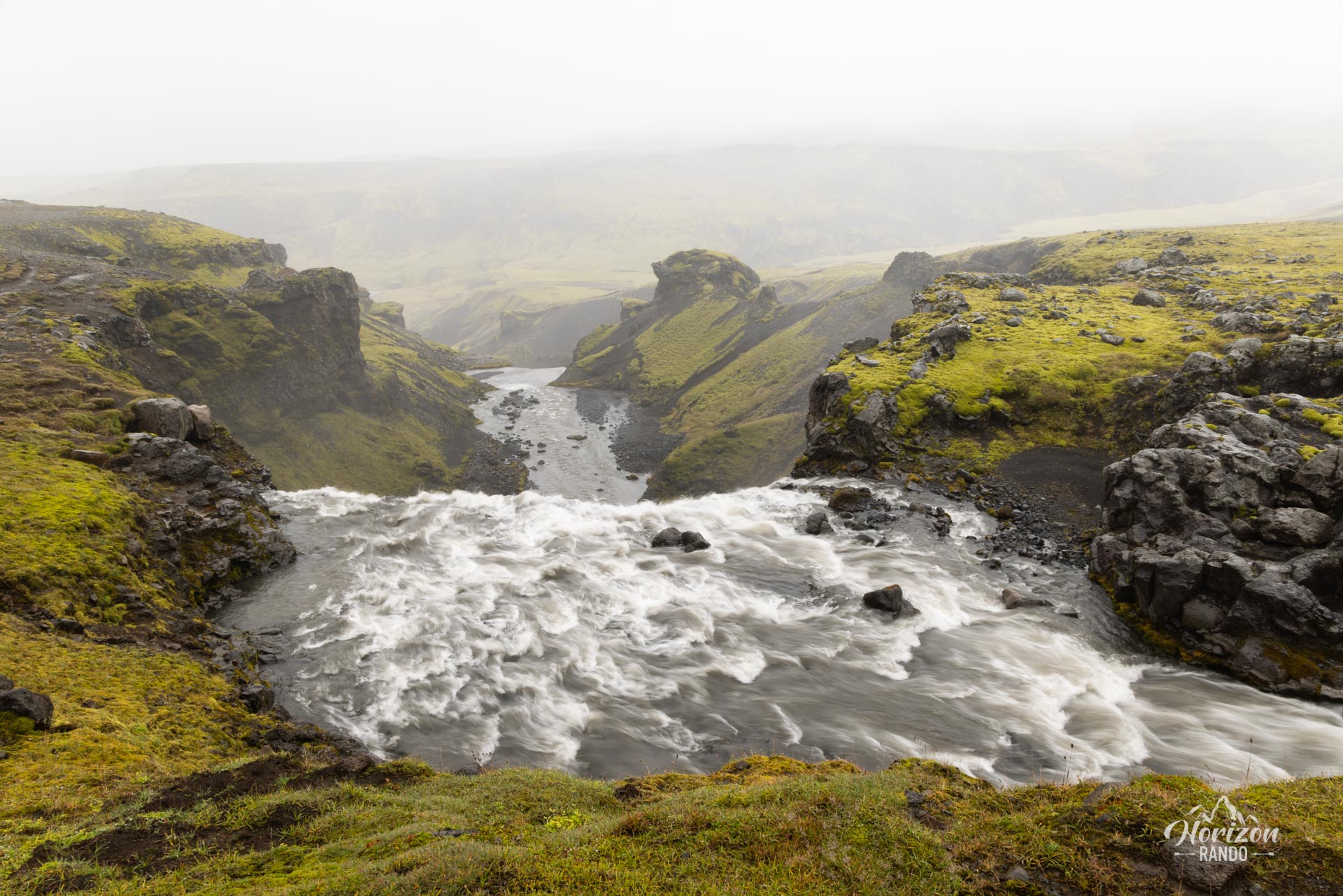
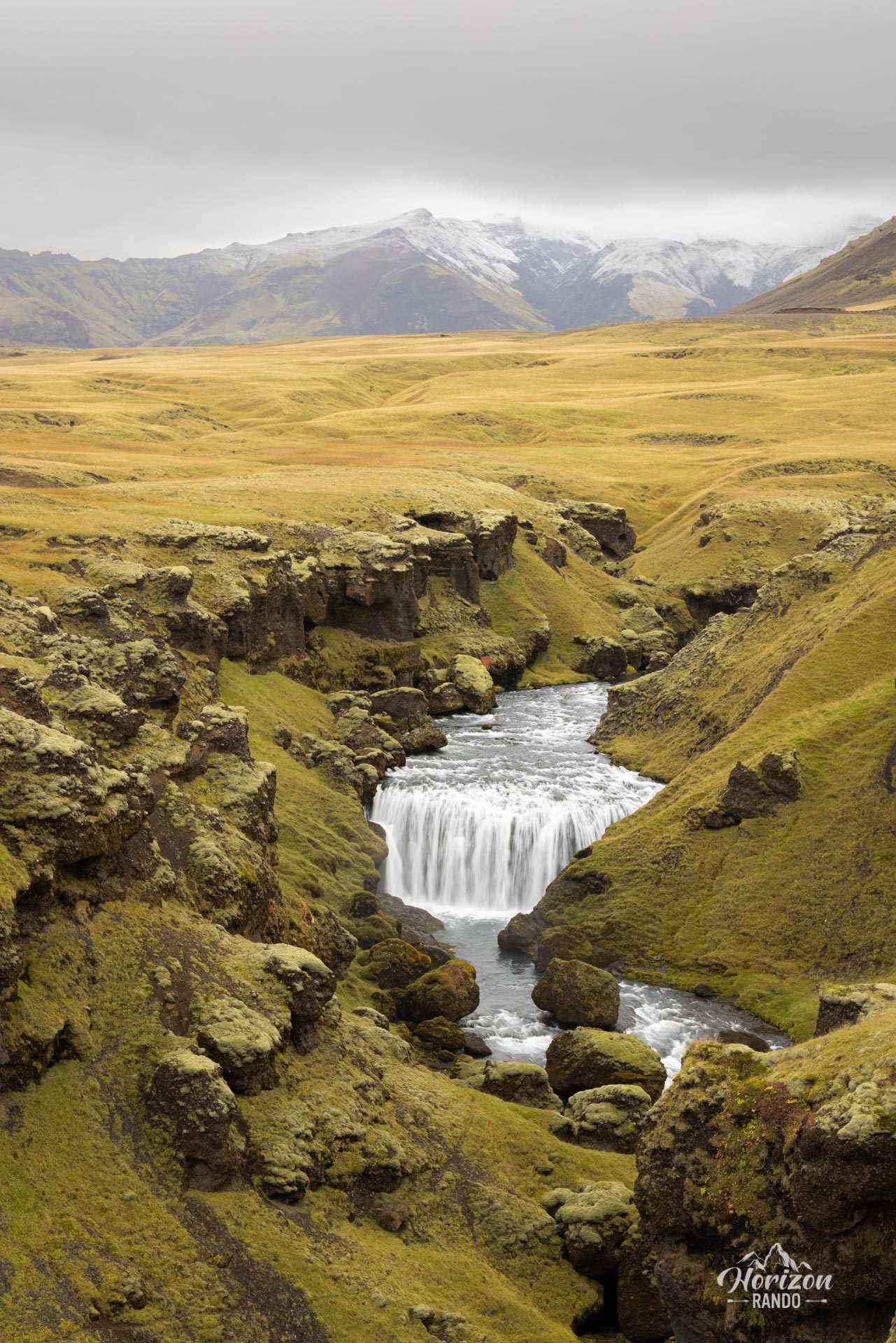
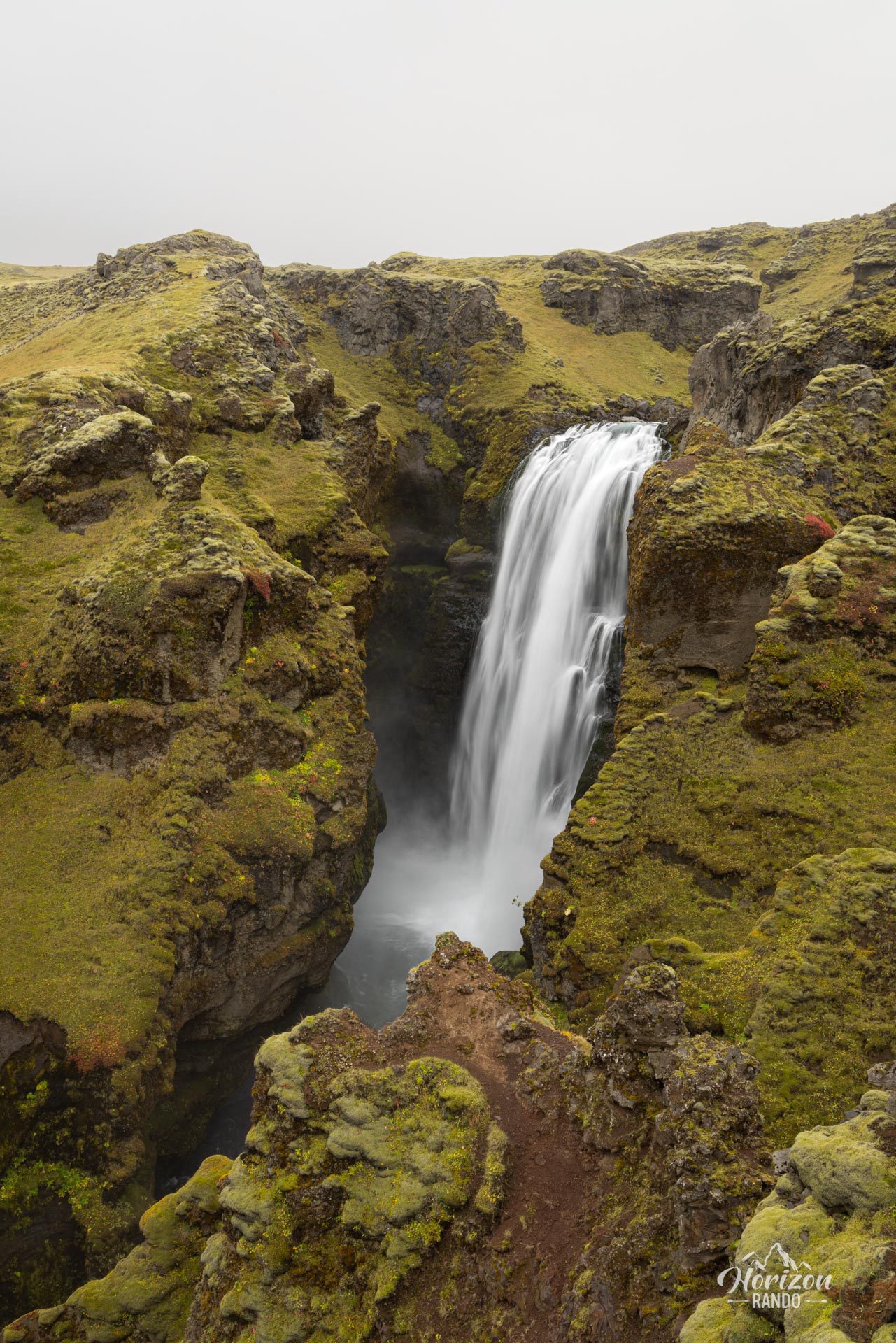
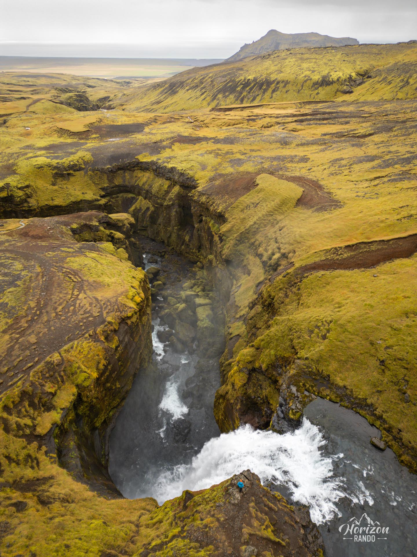
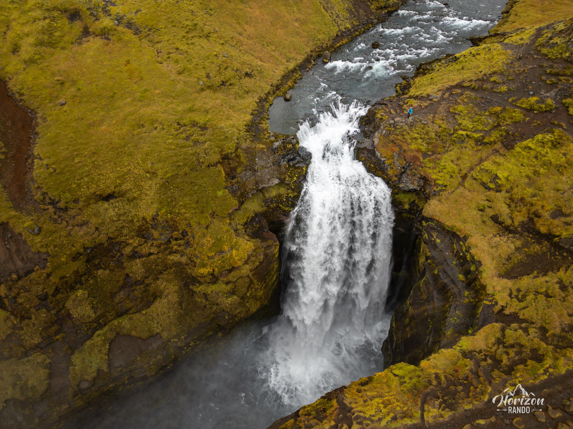
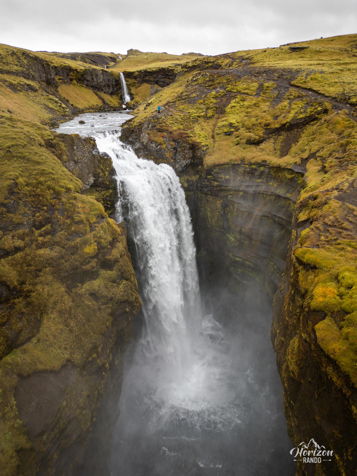
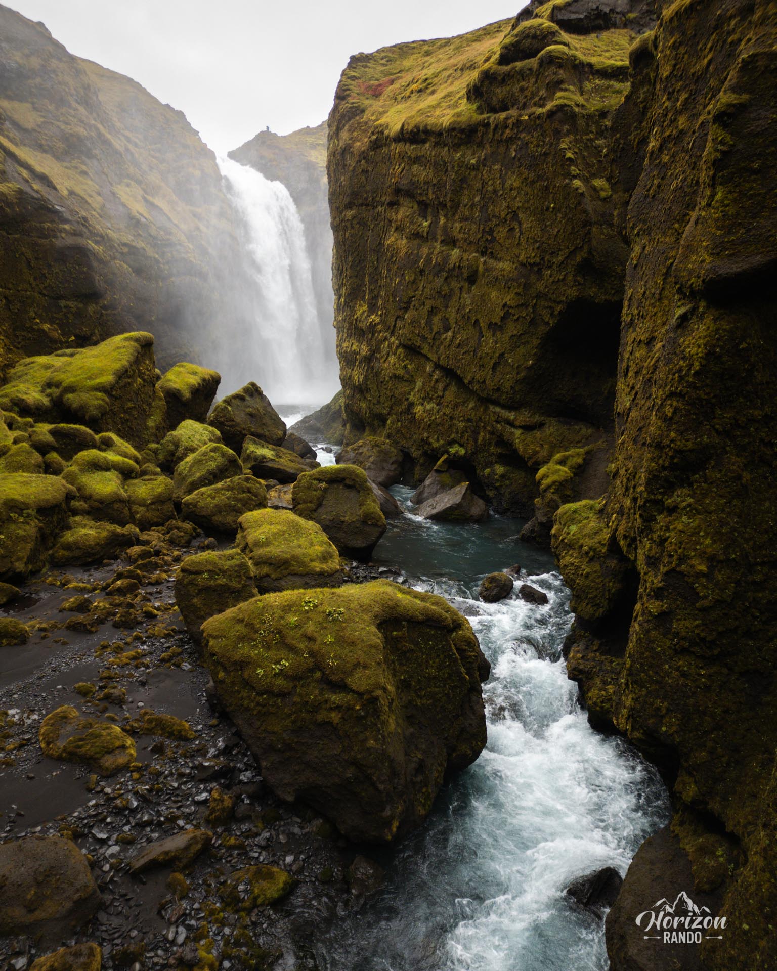
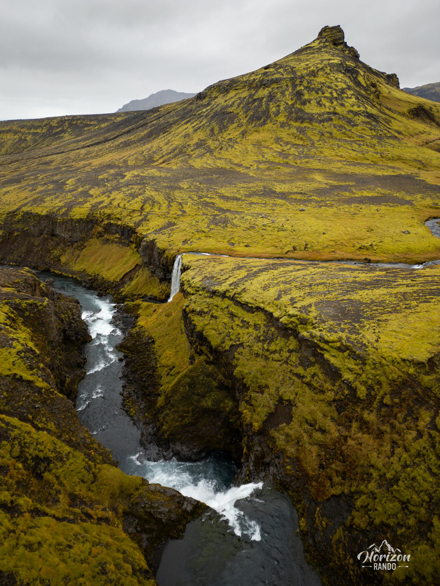
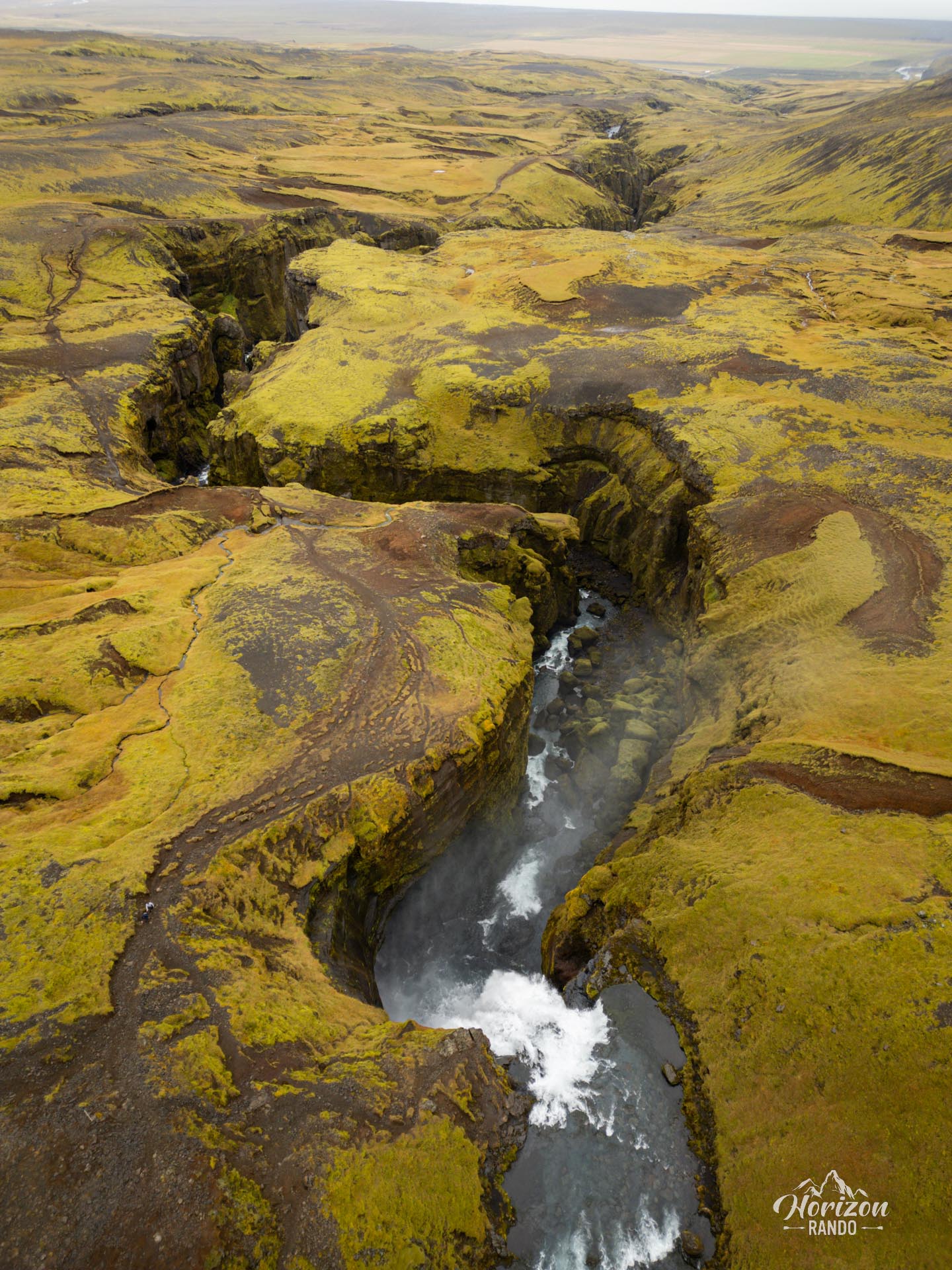
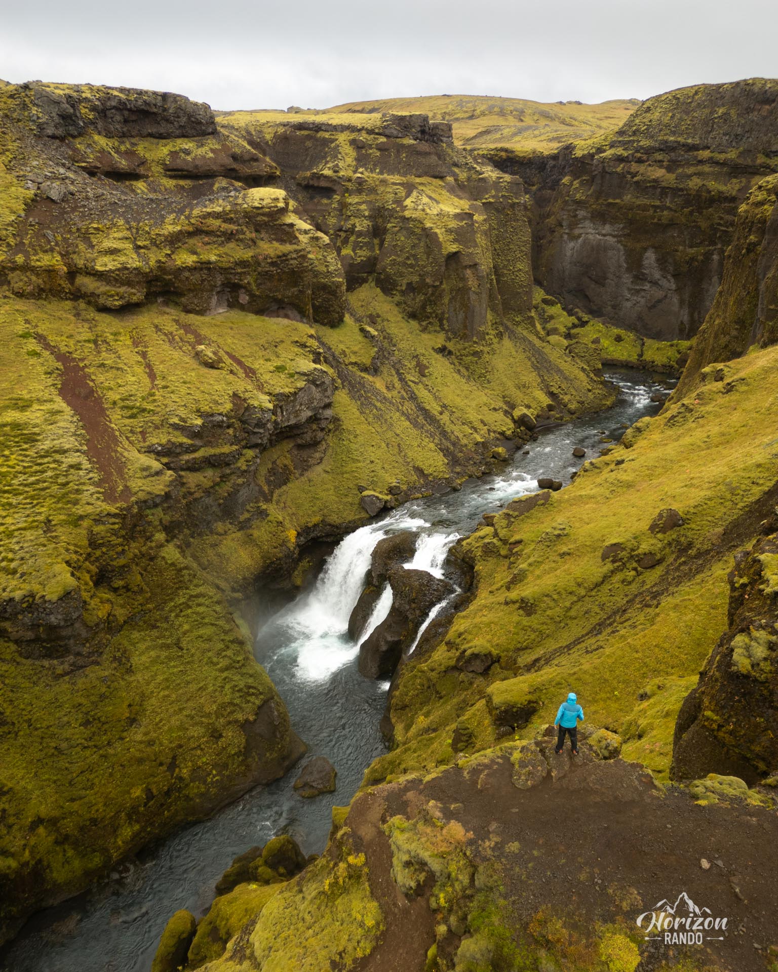
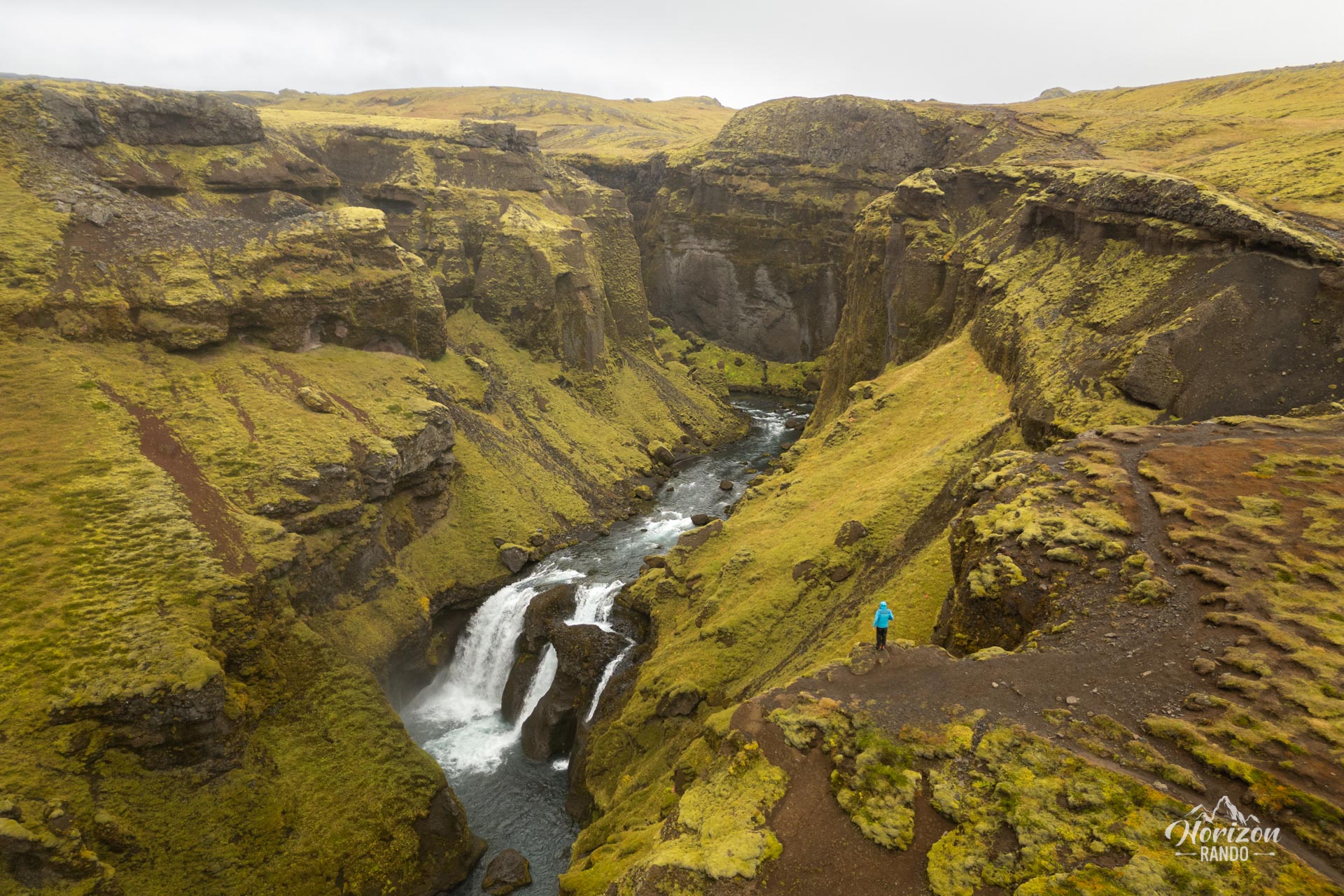
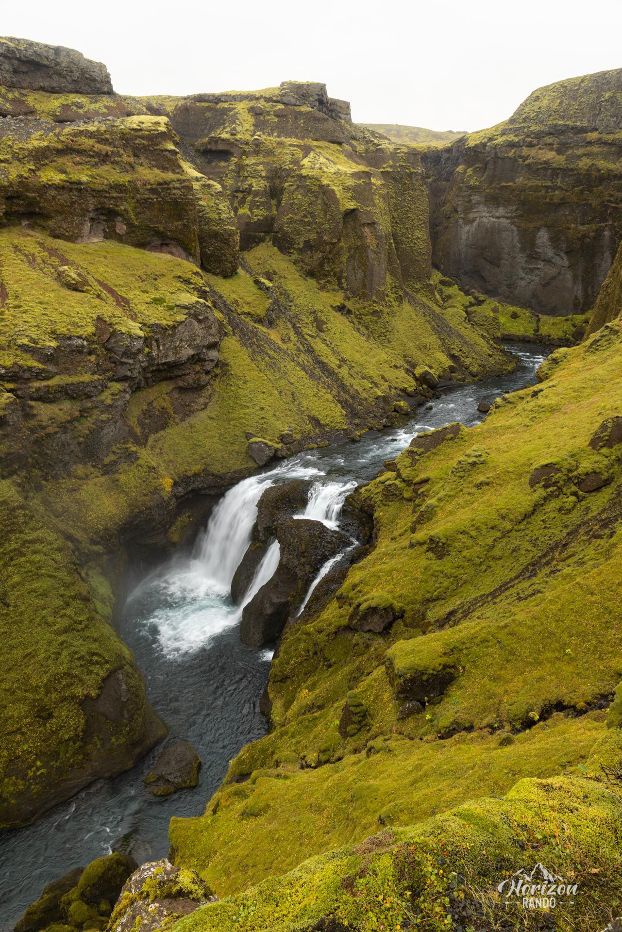
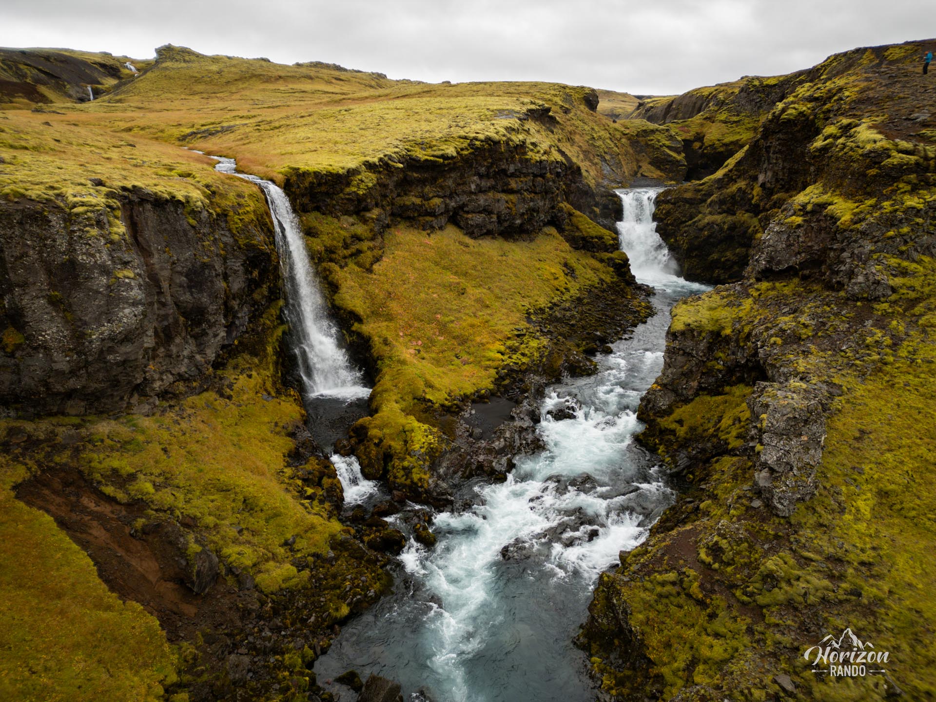
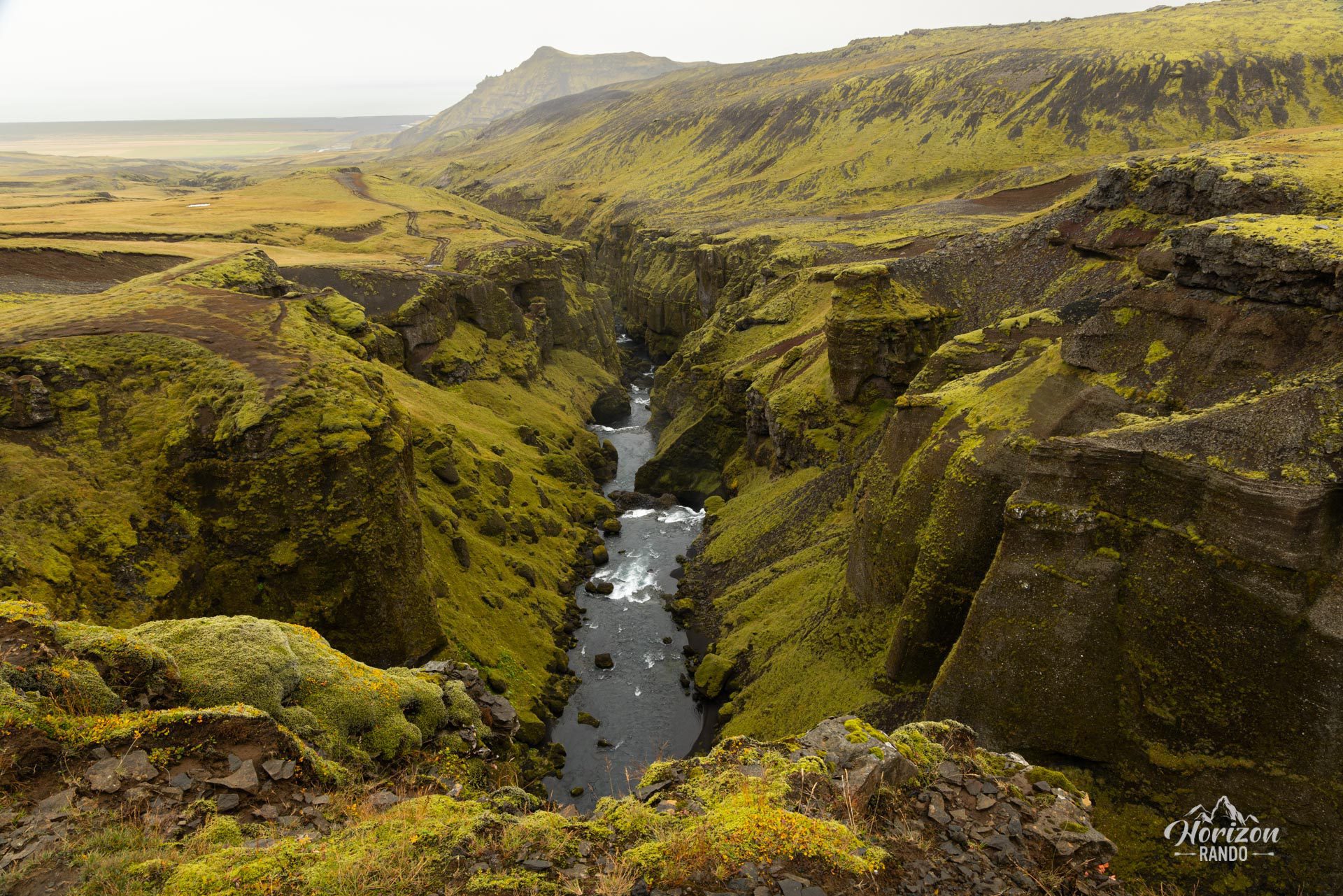
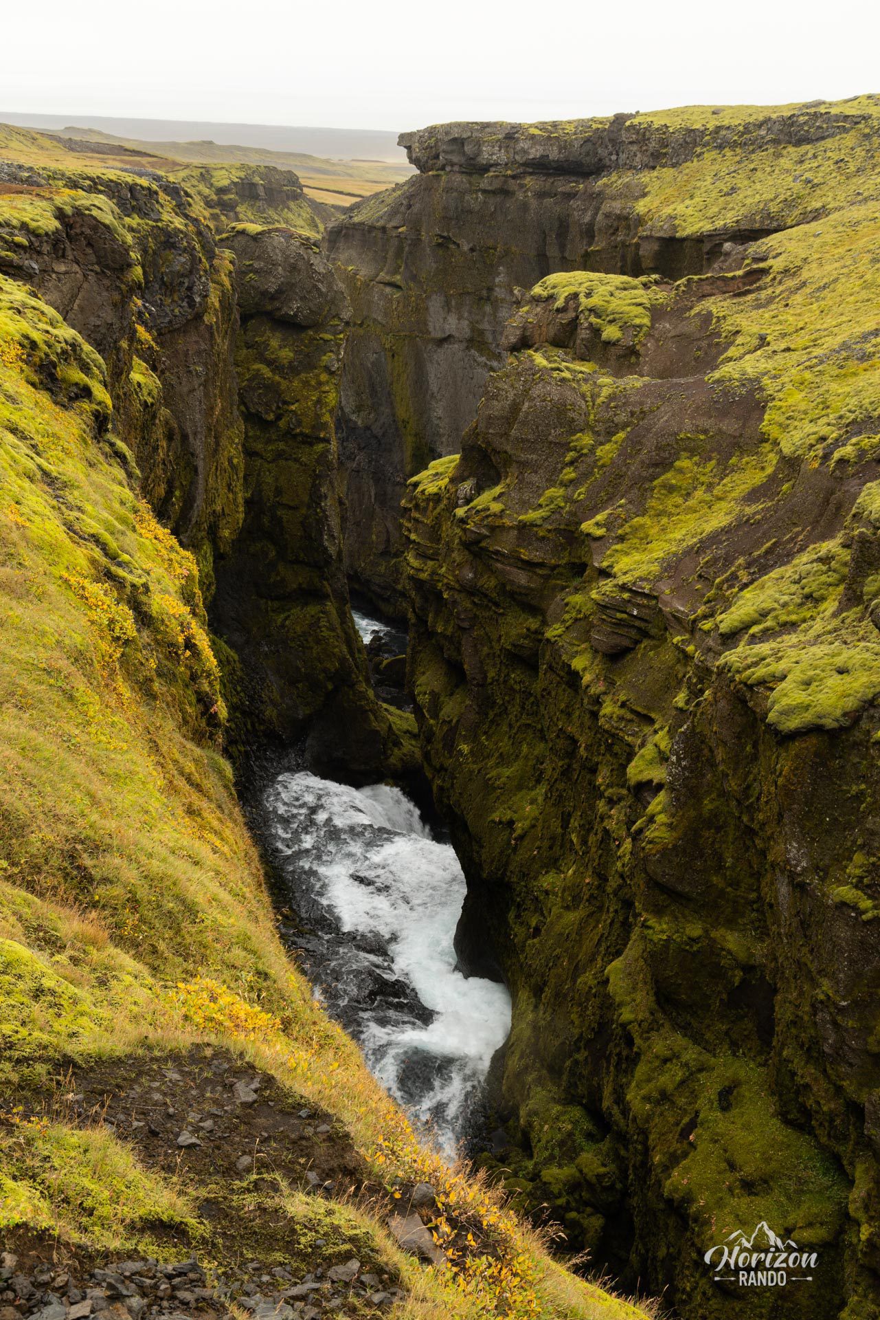
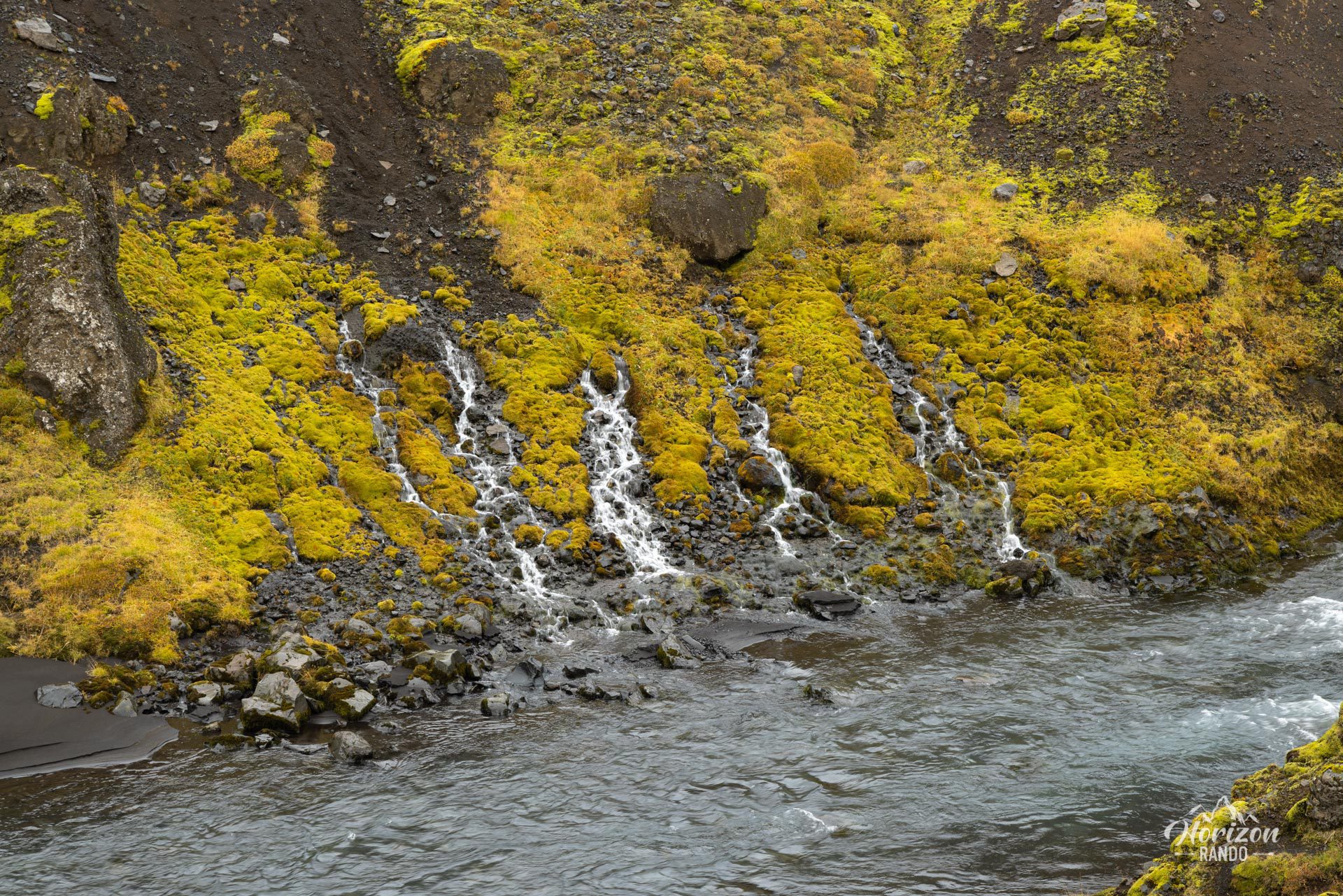
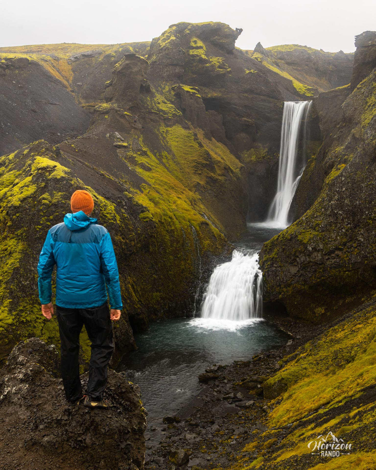
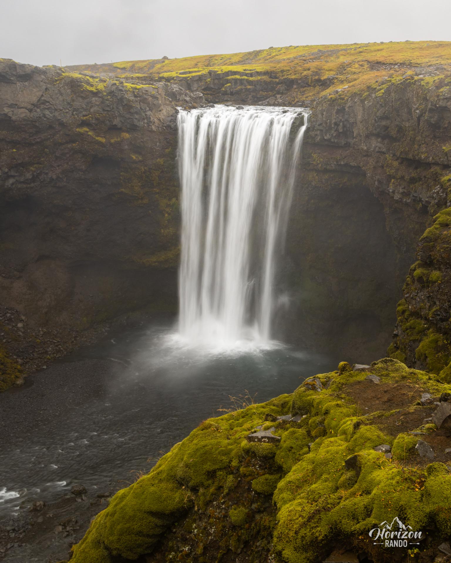
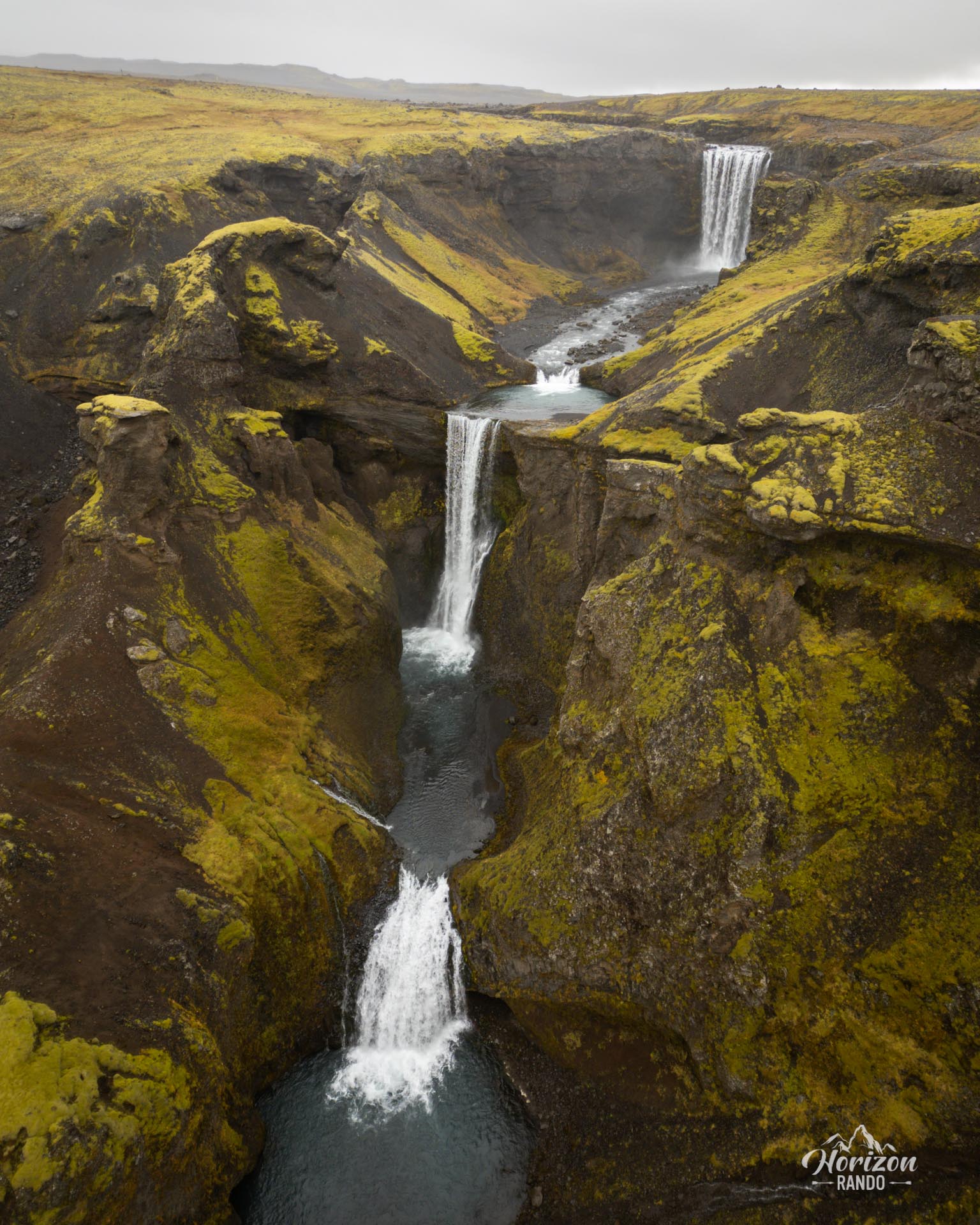
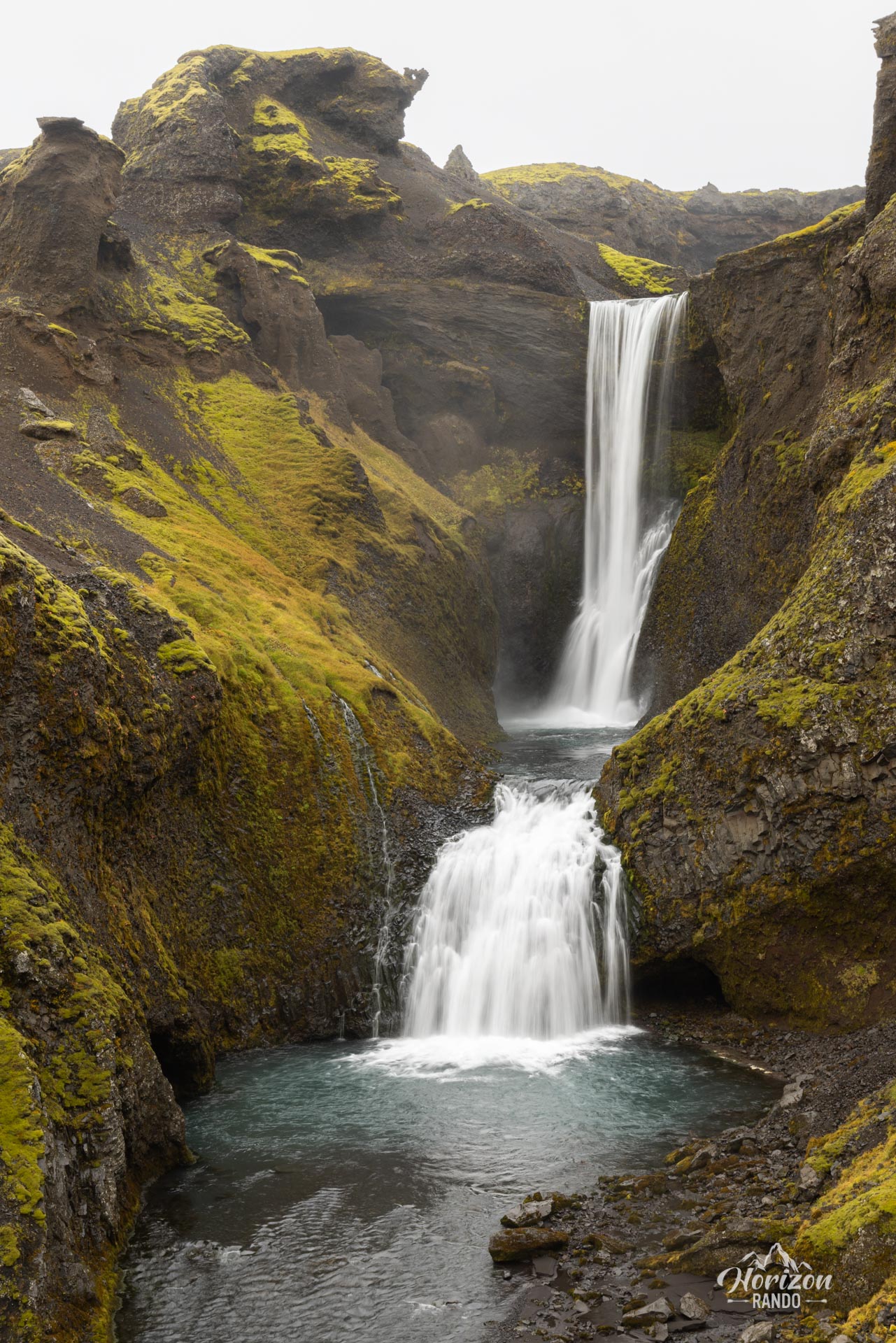
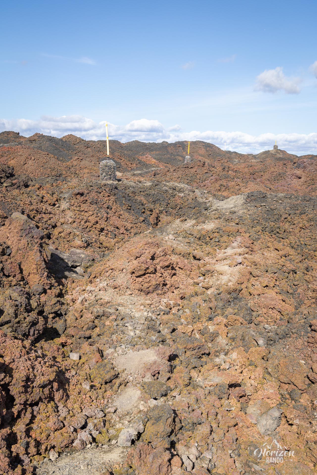
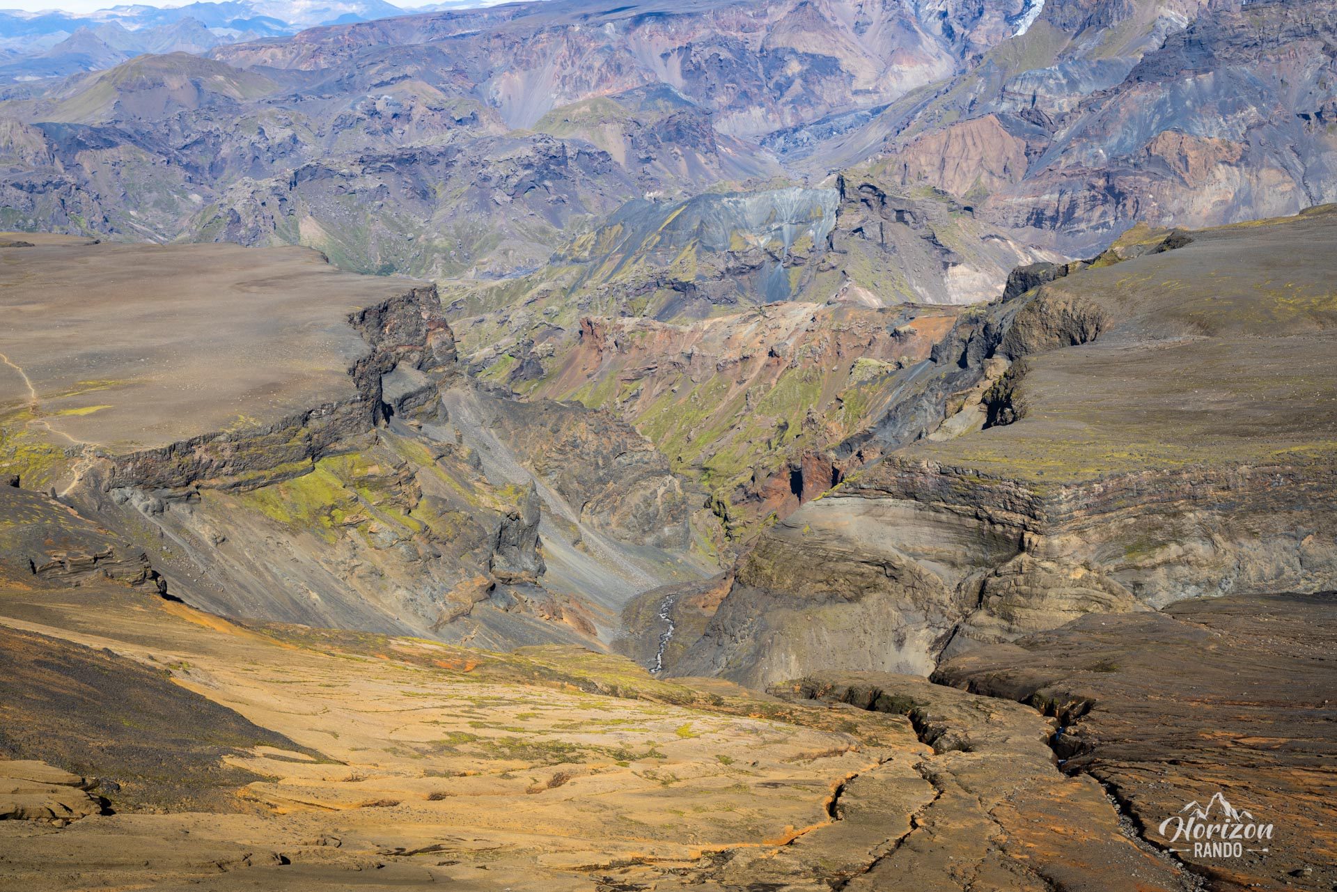
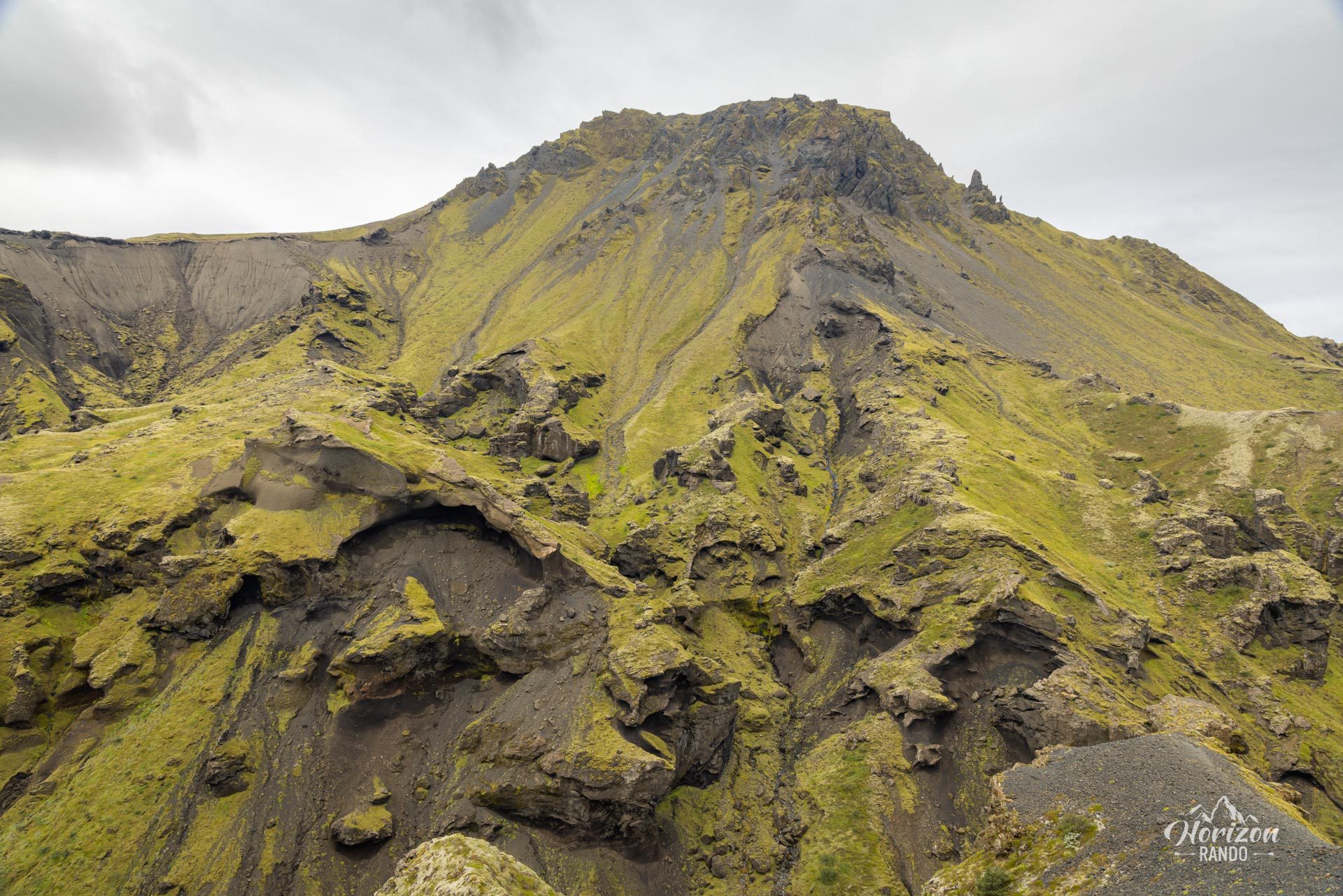
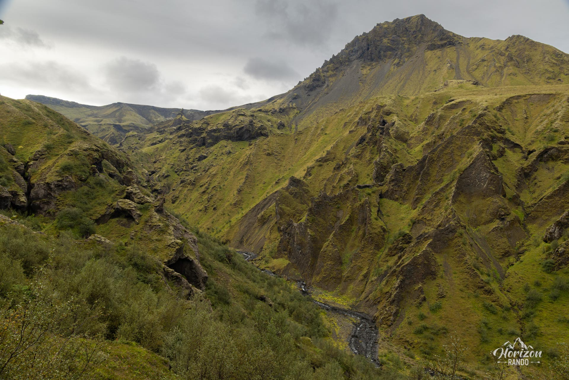
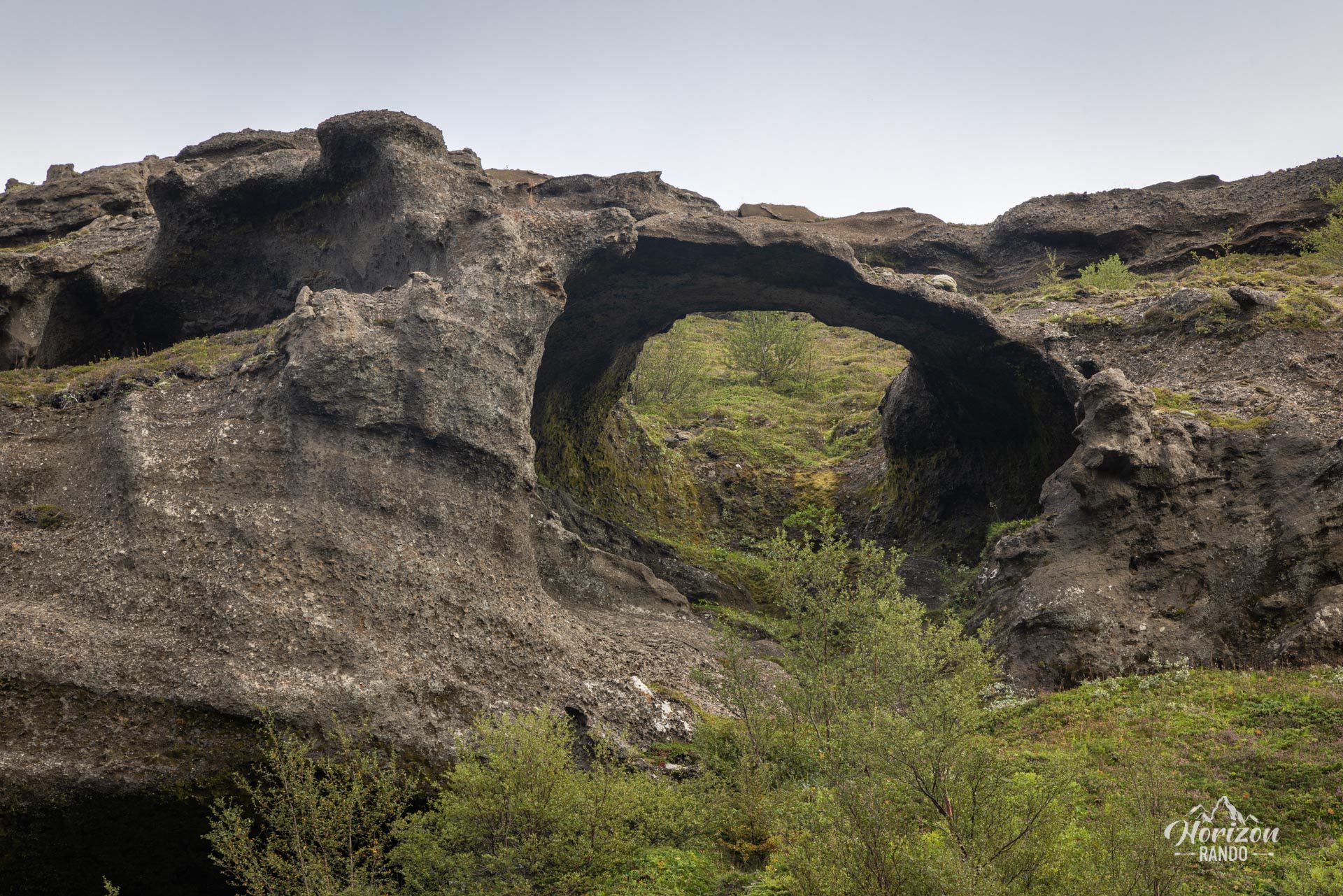
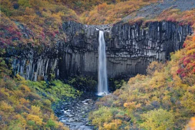
The route passes through surprisingly diverse landscapes. Your journey begins at the foot of the famous Skógafoss waterfall. As you travel up the Skógá River, you will discover 25 waterfalls and cascades tumbling down the walls of a magnificent canyon. As you gain altitude and approach the glaciers, the landscape gradually transforms into a barren, mineral-rich environment. Then, you cross a vast black lava desert, which is located between the Eyjafjallajökull and Mýrdalsjökull ice caps. Finally, you descend into the stunning Thórsmörk valley. The contrast is striking: The mountains are covered in bright green moss, and the valleys reveal black soil shaped by glacial rivers.
Map and elevation profile of the hike
Fimmvörðuháls Trek
Difficulties of the hike
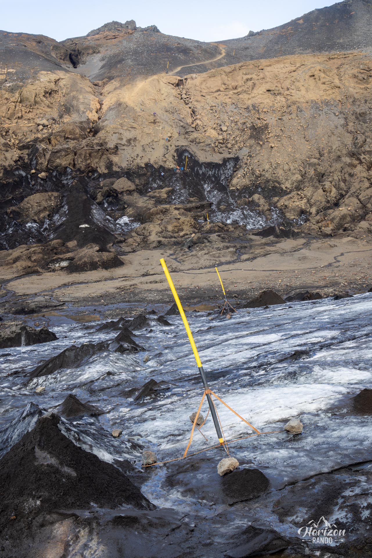
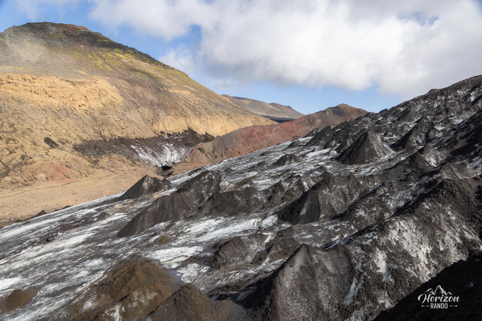
This adventure is reserved for experienced hikers with excellent endurance. The route is long and physically demanding. It crosses varied and often technical terrain, including lava fields with unstable rocks, scree, and sections of snow or ice (even in the middle of summer). Some passages require great care as the surfaces can be extremely slippery.
Hiking poles are strongly recommended, and crampons may be useful depending on the season. You will also encounter some vertiginous passages, particularly during the descent to Þórsmörk, where there is a short section equipped with a chain.
What you'll love
- Exceptional landscape diversity: Start along a canyon with countless waterfalls before crossing a lunar lava desert surrounded by glaciers and plunging into the sublime, green valley of Þórsmörk.
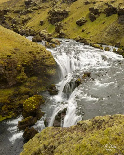
- Spectacular waterfalls: The first part of the trek is nicknamed the "Waterfall Trail" and features 25 waterfalls along the Skógá River.
- Recent volcanic craters: You will see the Móði and Magni craters, which were formed during the 2010 eruption. They are striking reminders of Iceland's volcanic power.
Practical information
Best time to go
This hike can only be undertaken between late June and early September, as the road to Þórsmörk is closed outside of these dates. There is also too much snow on the trail outside of this period.
Two-day option
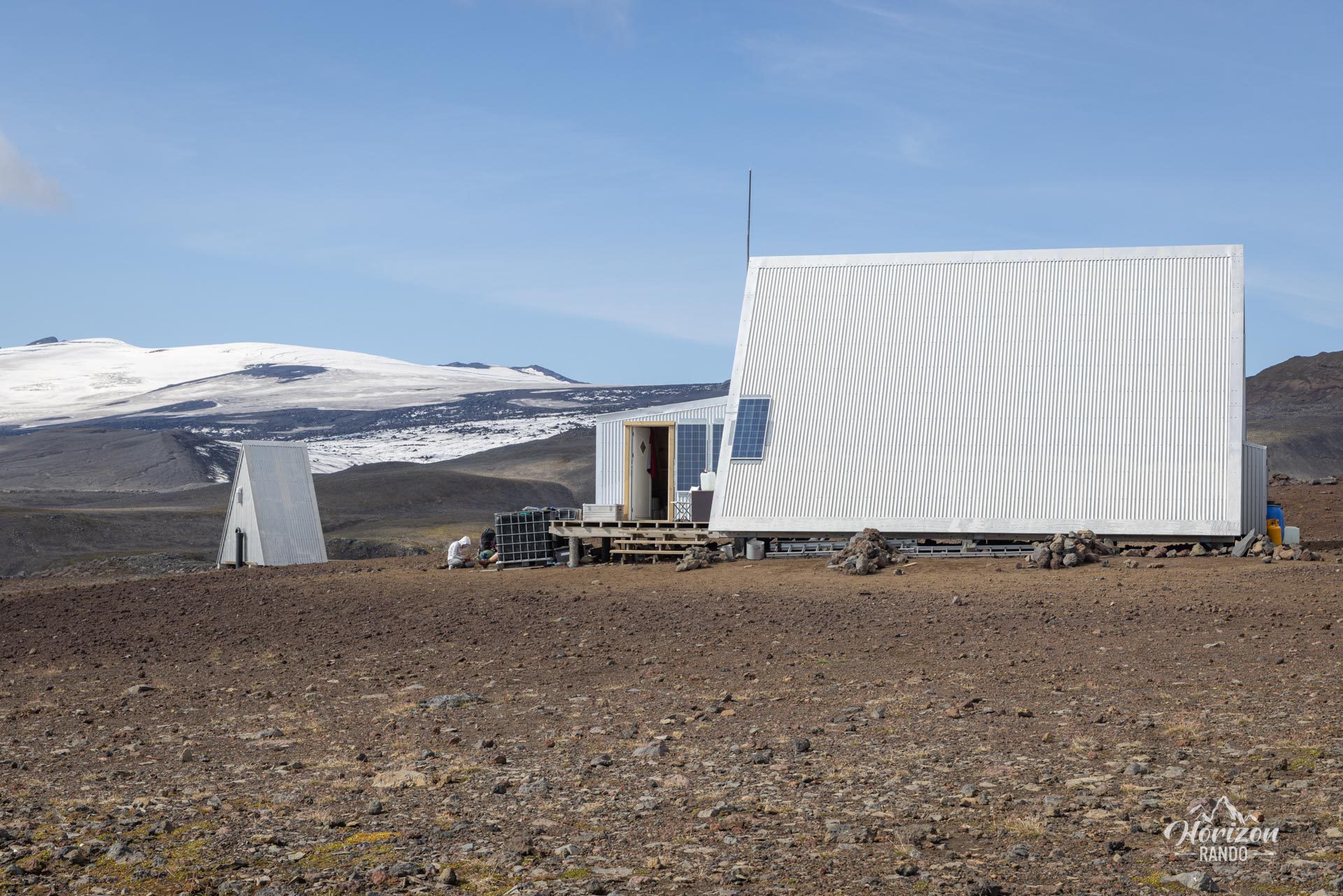
To fully enjoy the experience and spread out the effort, you can spend a night at the Baldvinsskáli refuge, located halfway through the hike.
Return
This is a point-to-point hike with no direct connection between Thórsmörk and Skógar. See the "More details on the hike" section below to organize your return.
More details on the hike
Logistics: Please note that there is no direct bus service between Thórsmörk and Skógar. You will therefore need to take a bus to Skógar in the morning and another bus back to your starting point in the evening. There are two departure options: the village of Hella or the N1 gas station in Hvolsvöllur. Check the schedules and book your tickets with one of the two main bus companies that go to Thórsmörk (choose the Básar stop): Icelandia and TrEx.
Assuming the timetables remain the same as in 2025, the first bus arrives in Skógar at 9:45 a.m., and the last one leaves Thórsmörk at 8:00 p.m., which gives you about 10 hours to complete the trek. This is usually enough time for most hikers.
If you don't have a vehicle, you can also leave from Reykjavik, but this considerably lengthens the journey.
Explore Thórsmörk: If you want to take your time and explore the beautiful Thórsmörk region and its many hikes in more depth (see my guide to hikes in Thórsmörk), you can spend one or more nights at the Básar campground.
Two-day trek: You can also book a night at the Baldvinsskáli mountain hut, which is located near the Fimmvörðuháls pass, about halfway along the route. This option allows you to split the hike into two stages and fully enjoy the scenery.
Photos
See all 41 photos →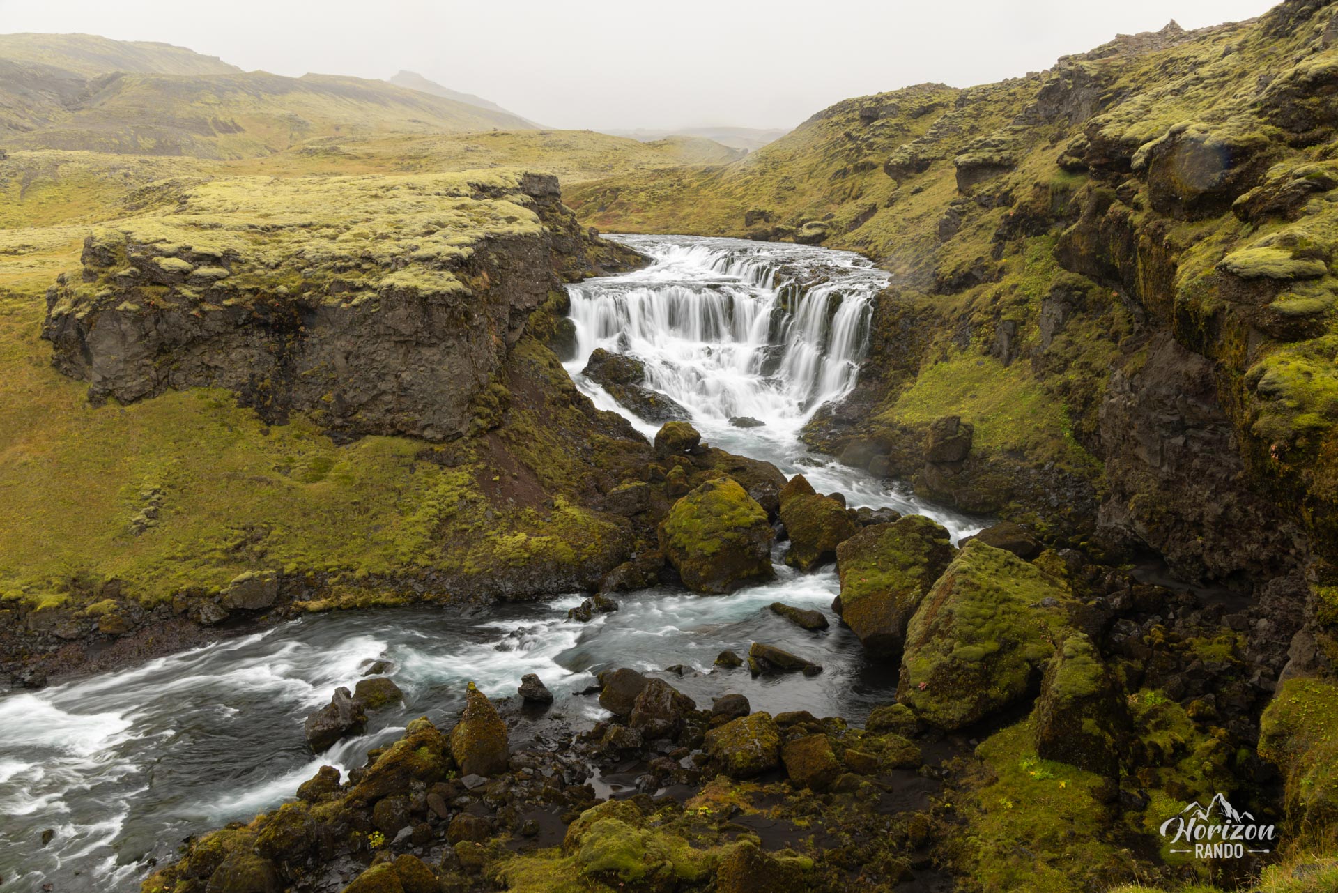
More hikes to do in Iceland
Nearby hikes

















Printed from www.horizonrando.fr/en/iceland/fimmvorduhals-trek/