





Leirhnjúkur Hike
Key facts about the hike
- Difficulty
- Easy Hikes are rated from very easy to very hard: my difficulty scale
- Duration
- 1h45 Estimated time, short breaks included (photos, water, snacks), picnic not included: how it is calculated
- Distance
- 4.6km
- Elevation gain
- 100m
- Type of route
- Loop
- Maximum altitude
- 595 m
- Vertiginous Five levels, depending on how exposed the route is: the levels in detail
- No
- Marked
- Yes
- Popularity
- Moderate
- Region
- North
- Start point
- 65.71320, -16.77461
- Activity
- Hiking
Hike overview
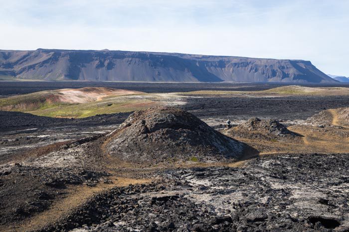
Leirhnjukur is an active volcano and one of the most impressive features of the Krafla caldera near Lake Mývatn. The area is one of the most active volcanic regions in Iceland. In 1975, a series of events known as the "Krafla Fires" shook the region, marking some of the most significant eruptions in the country's modern history.
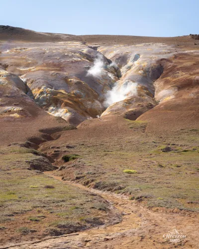
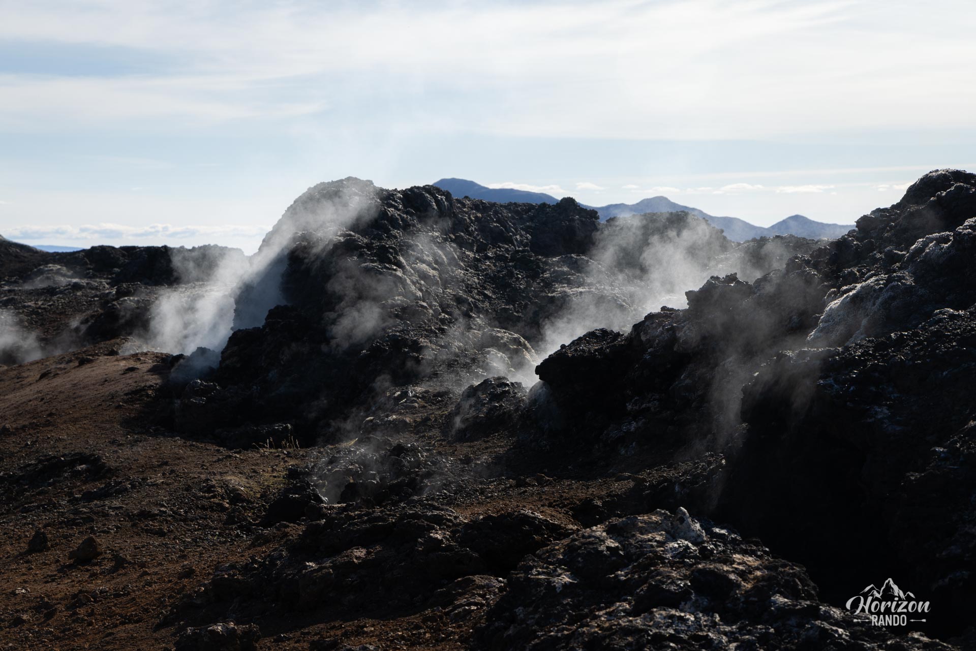
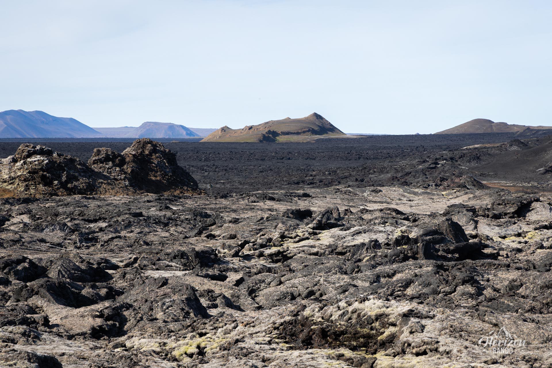
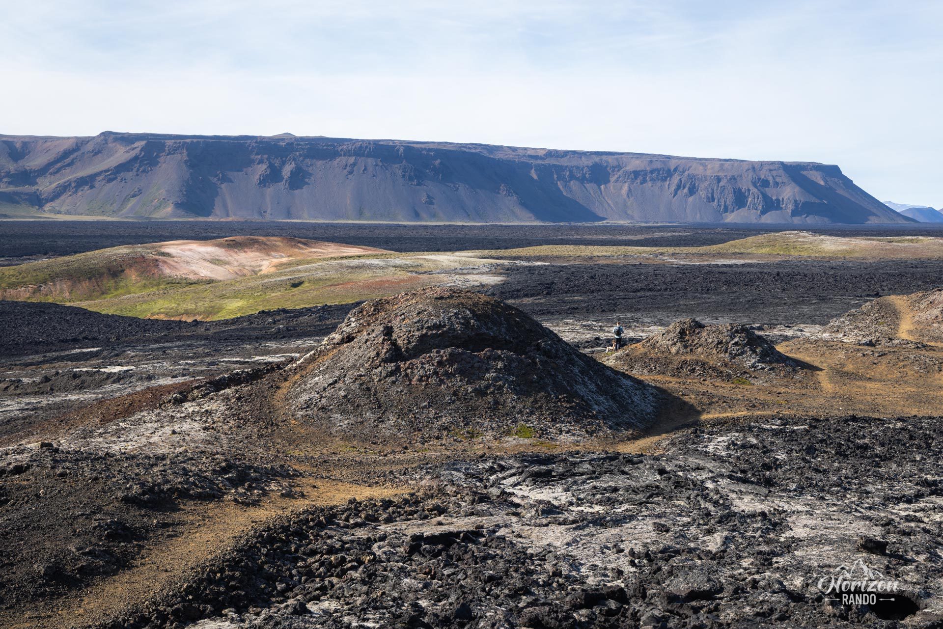
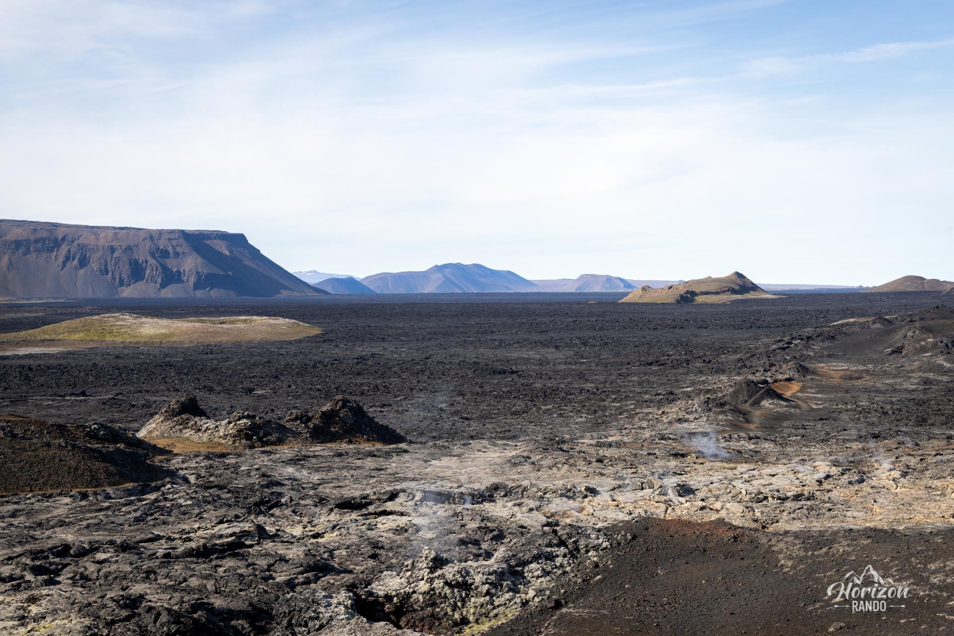
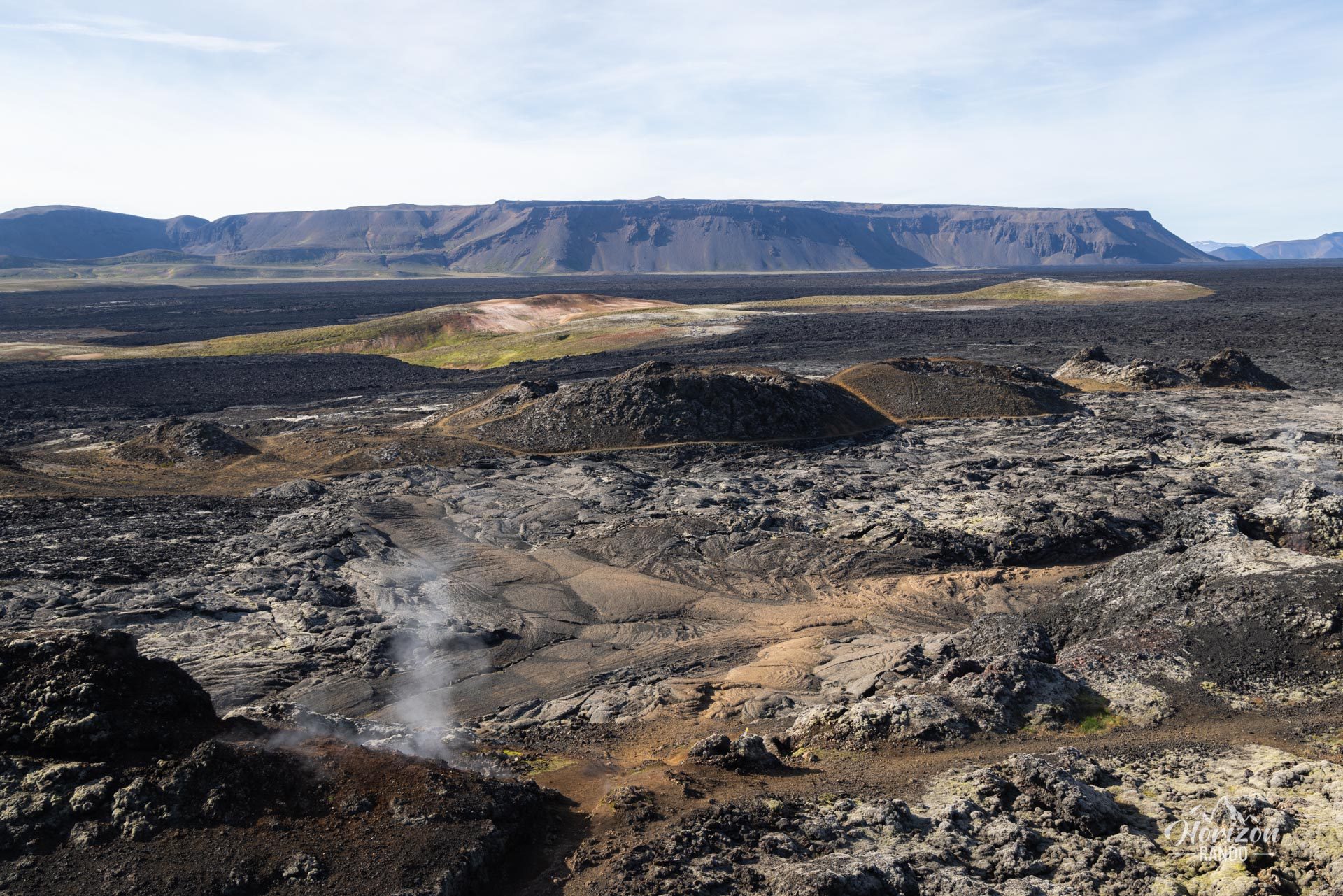
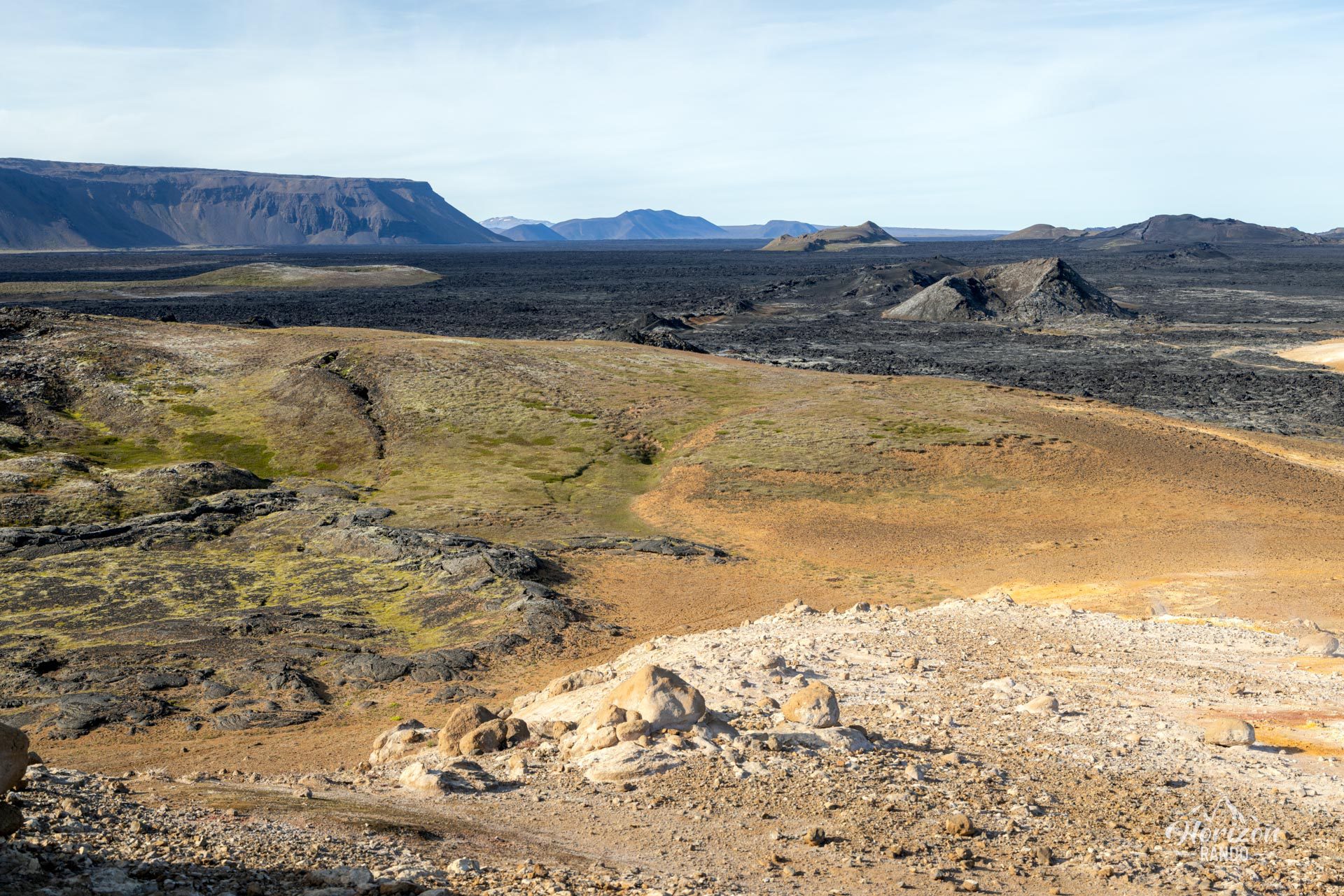
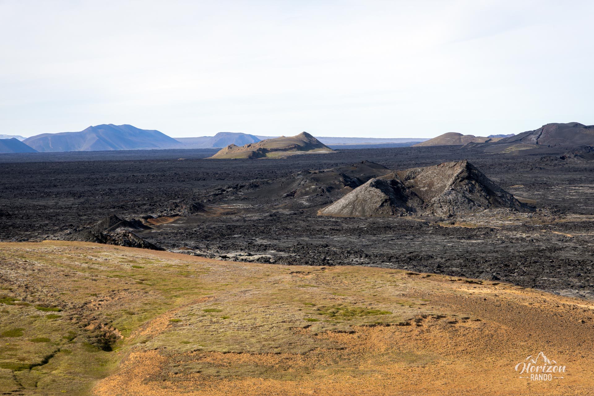
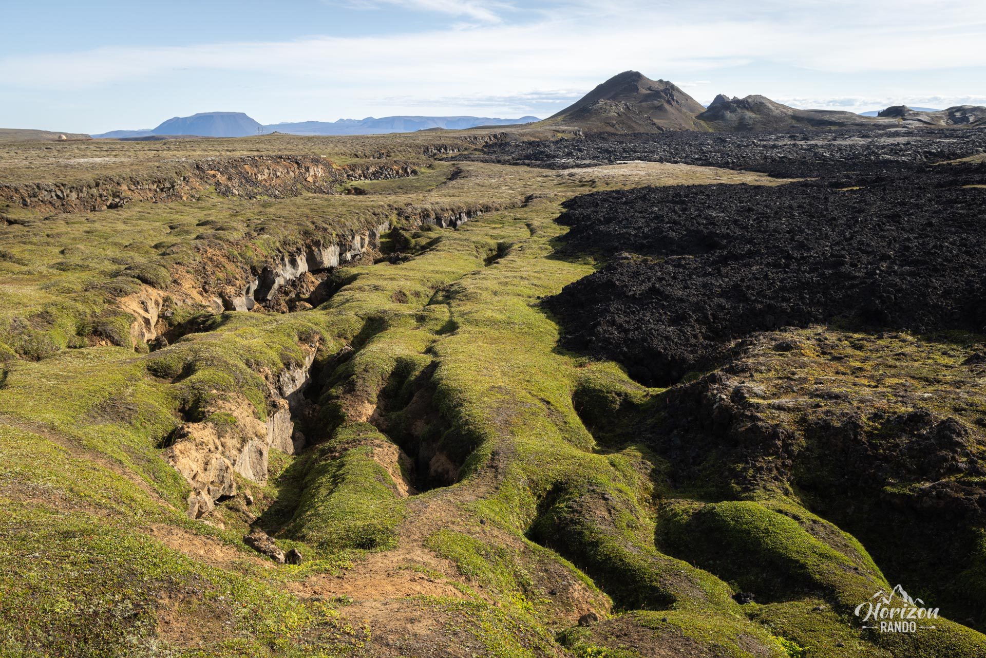
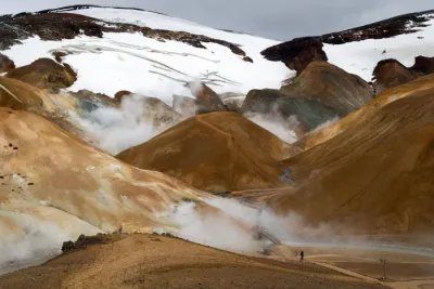
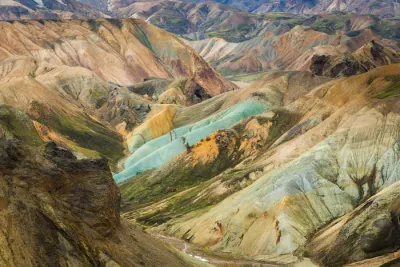
As you approach Leirhnjukur, you will feel as though you are exploring a hostile world that seems to come from another planet. Smoke and steam rising from the ground add to the landscape's mysterious atmosphere. The cracks left by the volcano stretch nearly 20 kilometers, and some lava flows are still hot decades after the last eruption.
Map and elevation profile of the hike
Leirhnjúkur Hike
Difficulties of the hike
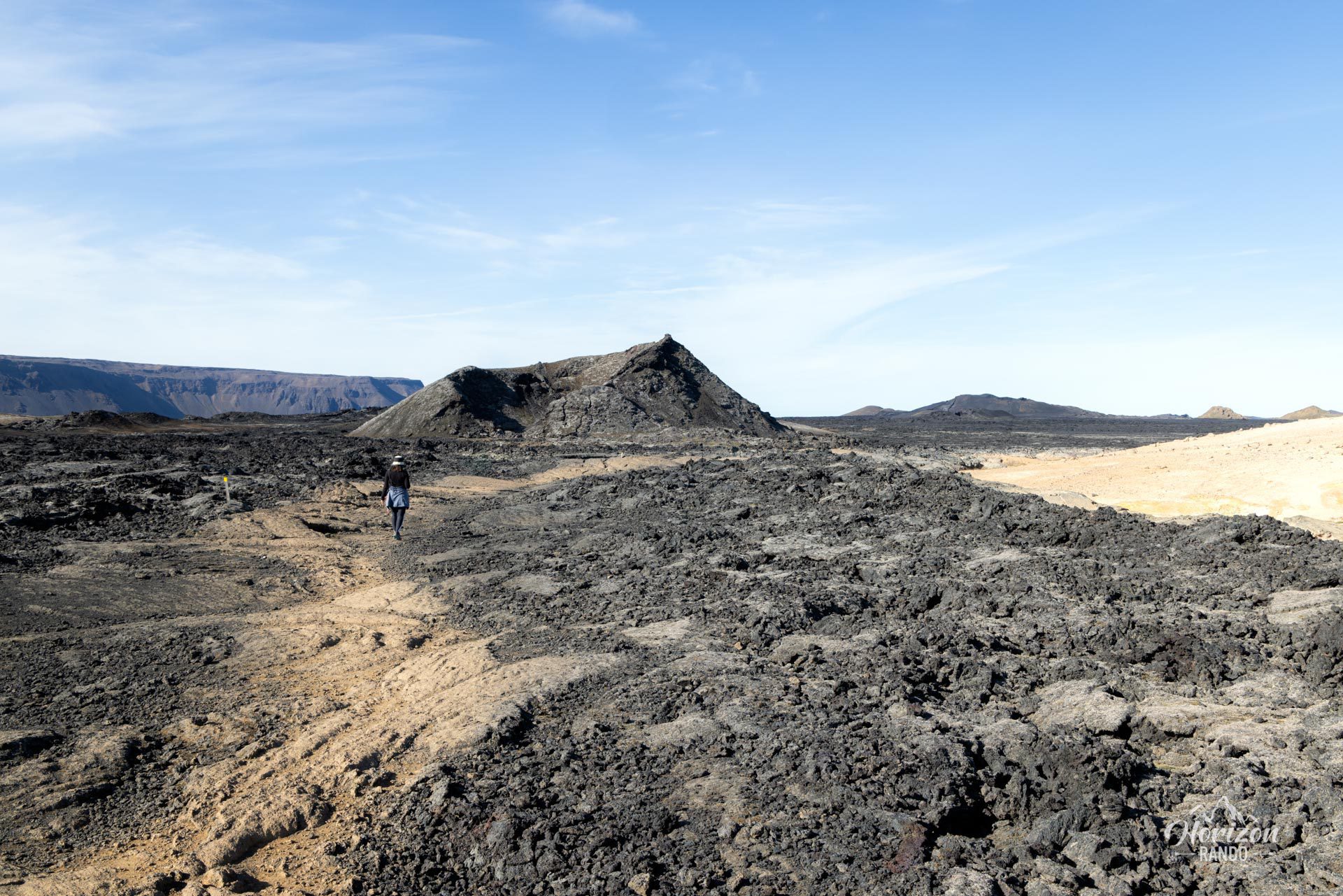
This hike is technically easy and does not present any particular difficulties. The trail is clearly marked with wooden posts and footbridges. There is virtually no elevation gain, making the route accessible to most people, especially families with children.
What you'll love
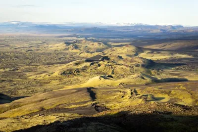
- Otherworldly landscapes: Discover a hostile land where smoke and steam rise from the ground in an apocalyptic setting of black lava stretching as far as the eye can see.
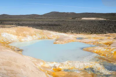
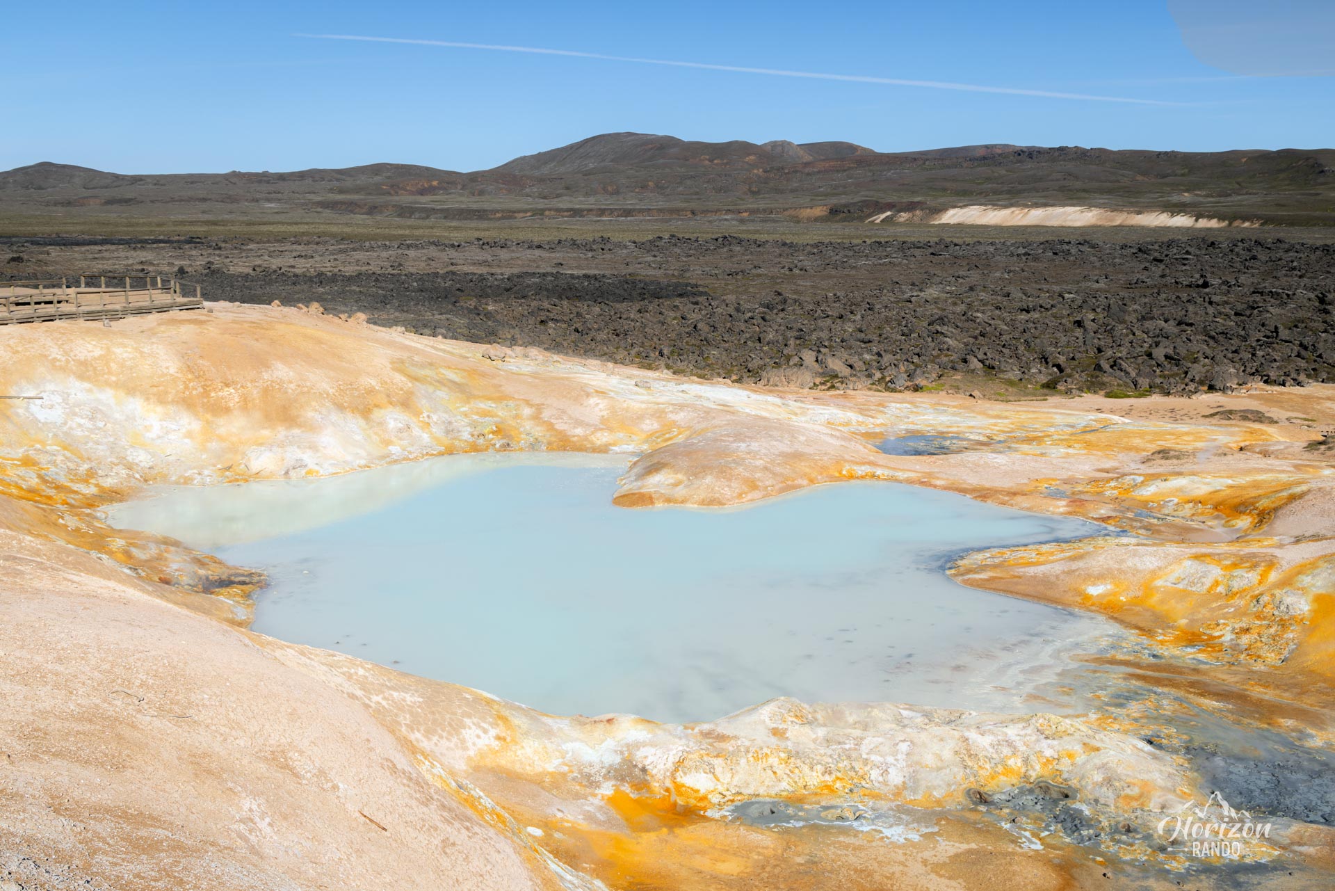
- A small geothermal lake with milky, pastel-blue waters nestled in the heart of the volcanic landscape.
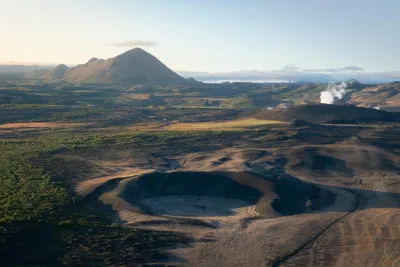
- Breathtaking panoramas: From the summit of Leirhnjúkur, take in the vastness of the Krafla caldera and its surrounding volcanoes.
Practical information
Parking
Free parking is available at the trailhead. Access via Route 863, just after the Krafla geothermal power plant.
Safety tip
Never stray from the marked trail. Some seemingly solid ground may conceal very hot geothermal areas.
Nearby attractions
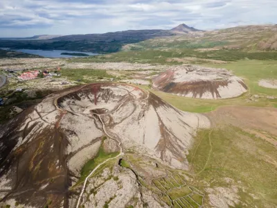
Take advantage of your visit to discover the nearby Víti crater, with its spectacular turquoise lake, and relax at the Myvatn Nature Baths after your hike.
Photos
See all 11 photos →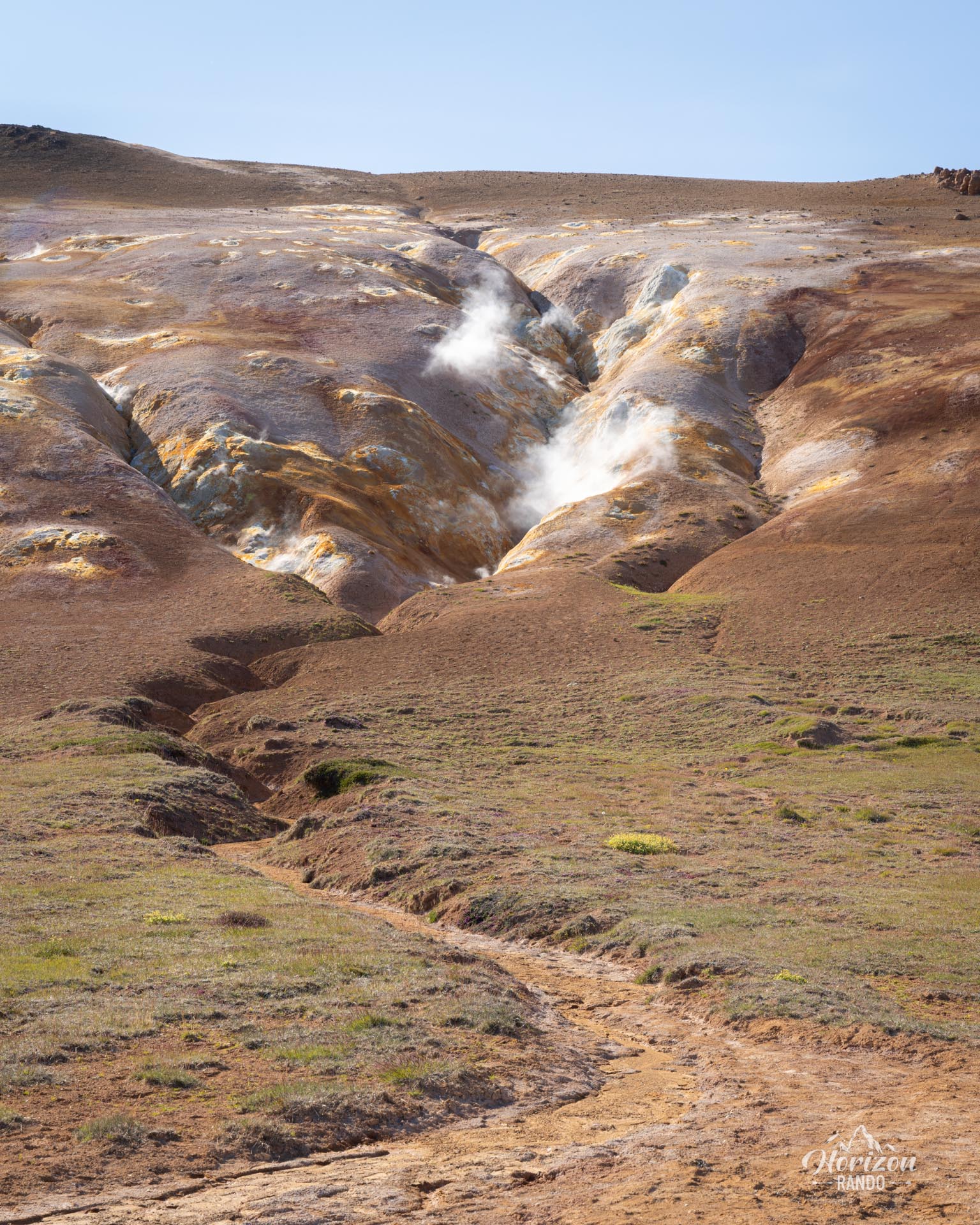
More hikes to do in Iceland
Nearby hikes
















Printed from www.horizonrando.fr/en/iceland/leirhnjukur/