





Strútsfoss Hike
Key facts about the hike
- Difficulty
- Easy Hikes are rated from very easy to very hard: my difficulty scale
- Duration
- 2h30 Estimated time, short breaks included (photos, water, snacks), picnic not included: how it is calculated
- Distance
- 7.4km
- out and back
- Elevation gain
- 280m
- Type of route
- Out and back
- Maximum altitude
- 295 m
- Vertiginous Five levels, depending on how exposed the route is: the levels in detail
- No
- Marked
- Yes
- Popularity
- Low
- Region
- East
- Start point
- 64.92766, -15.05821
- Activity
- Hiking
Hike overview
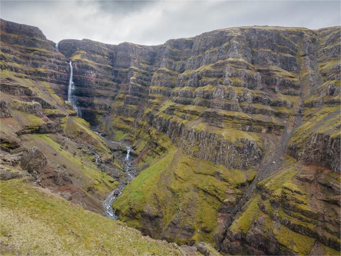
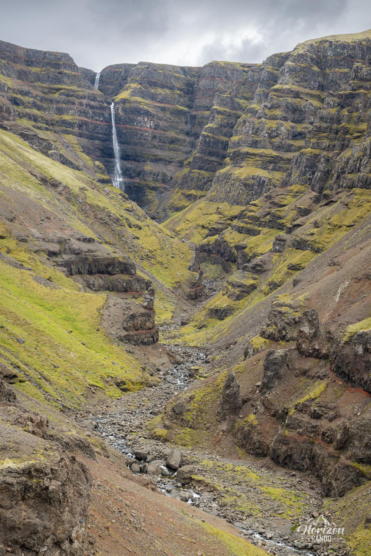
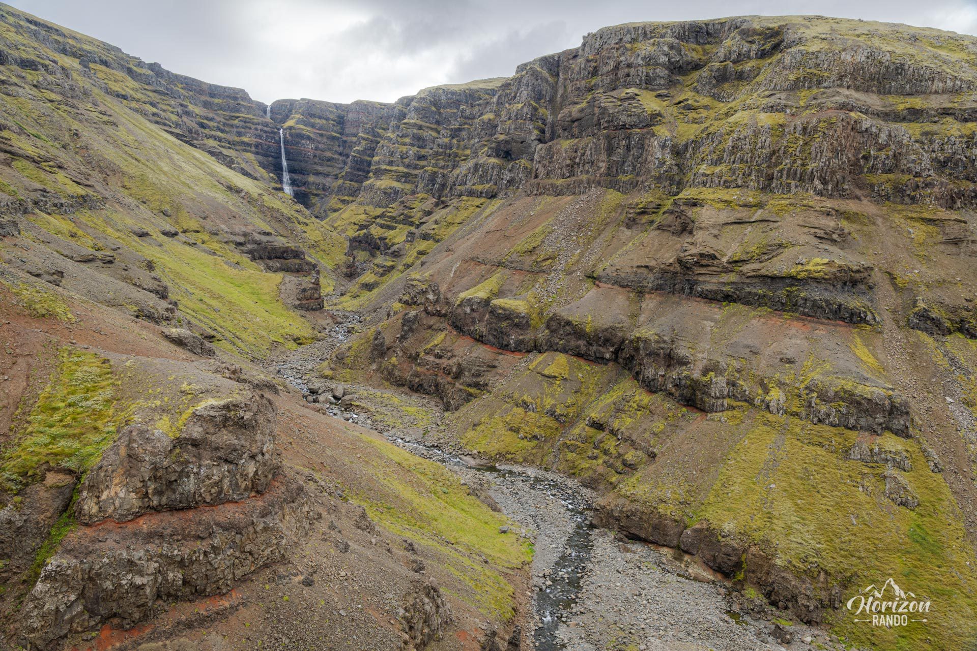
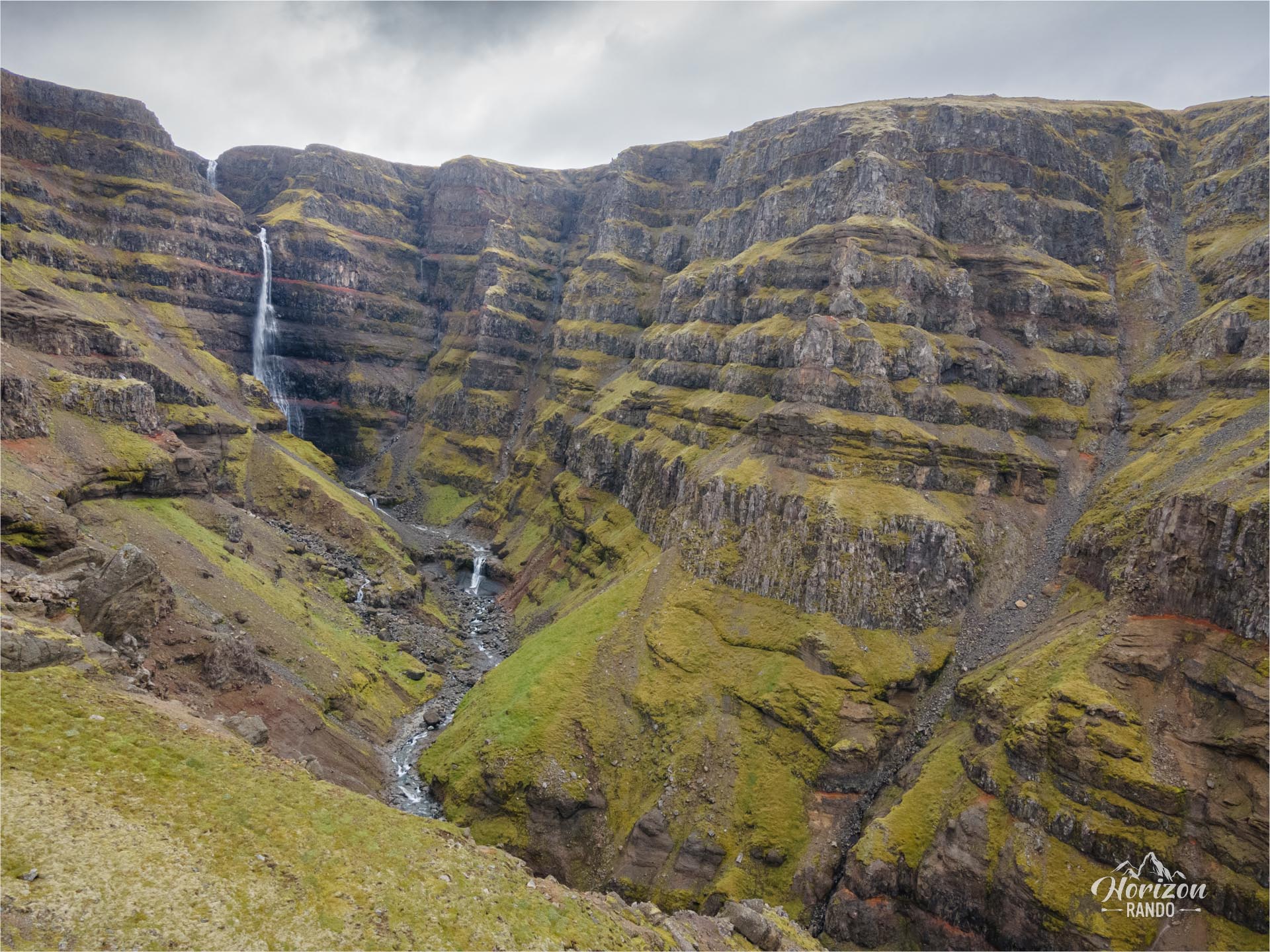
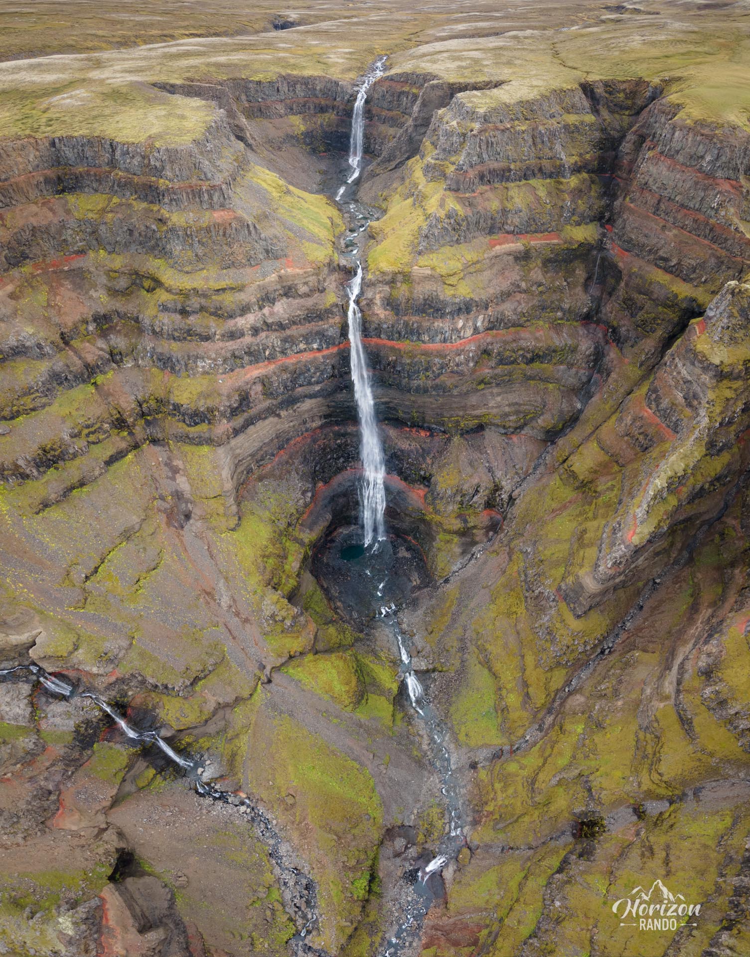
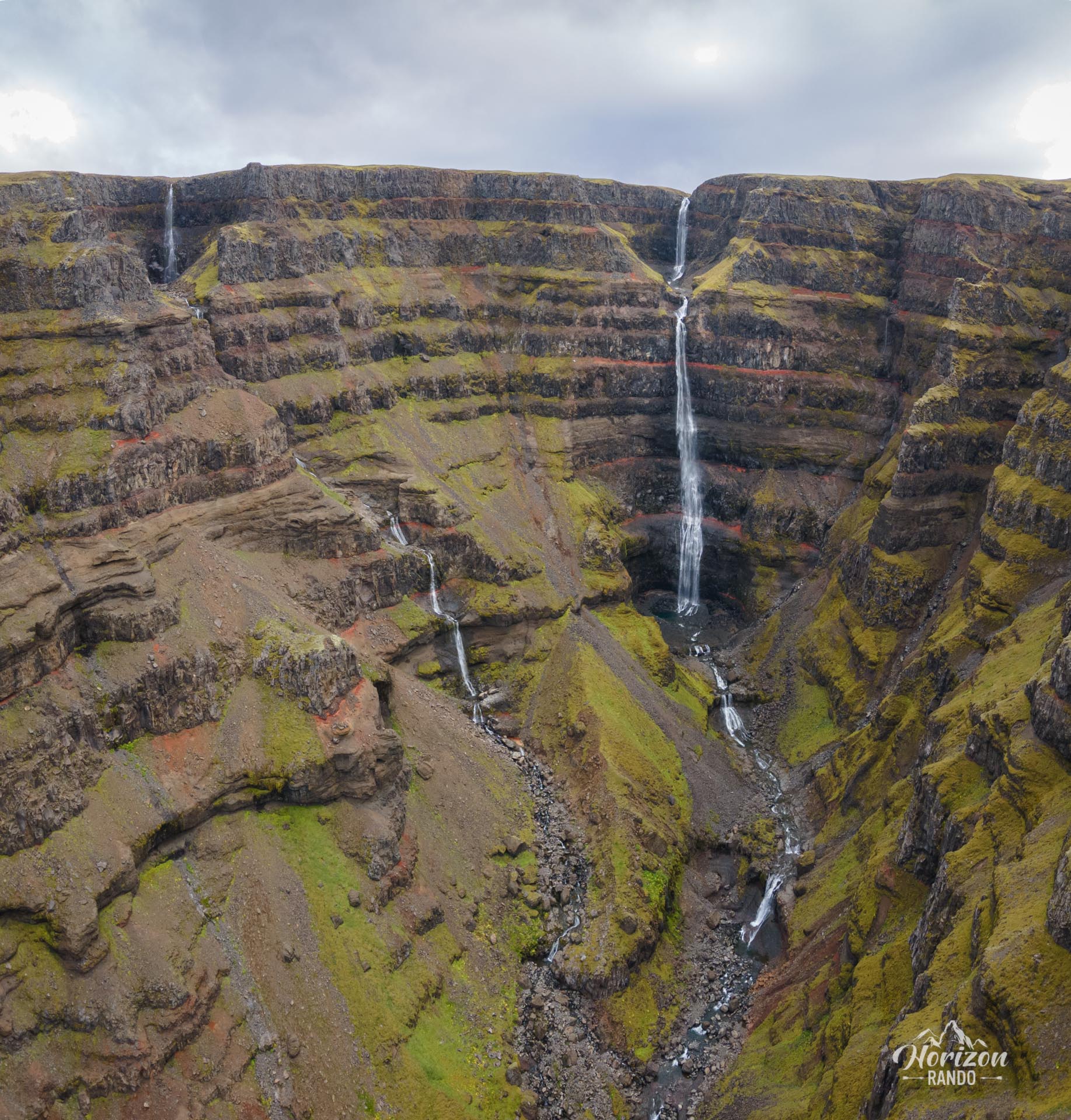
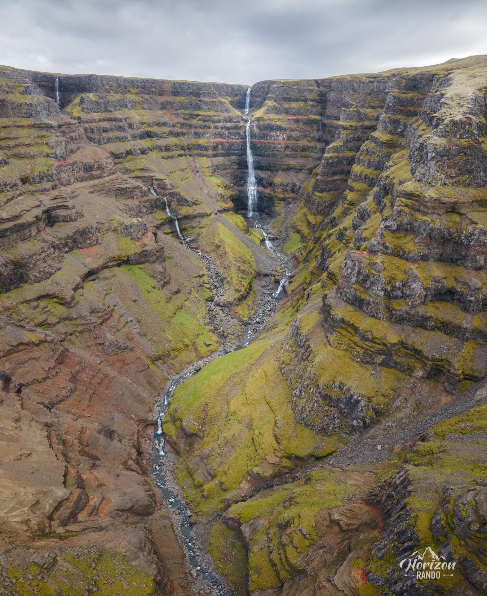
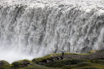
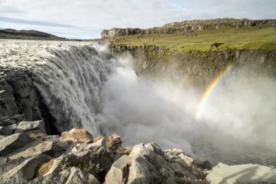
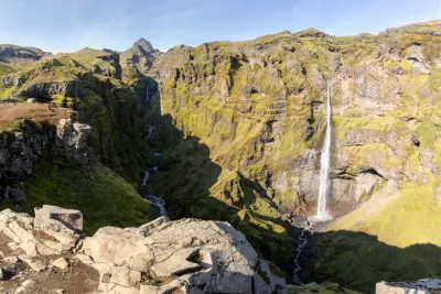
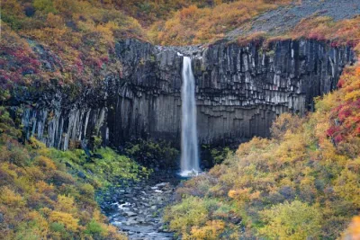
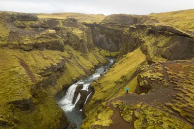
Strútsfoss is a magnificent yet little-known waterfall in eastern Iceland. Standing at 120 meters high, divided into two levels — the first measuring about 20 meters and the second about 100 meters — it is one of the most impressive in the country.
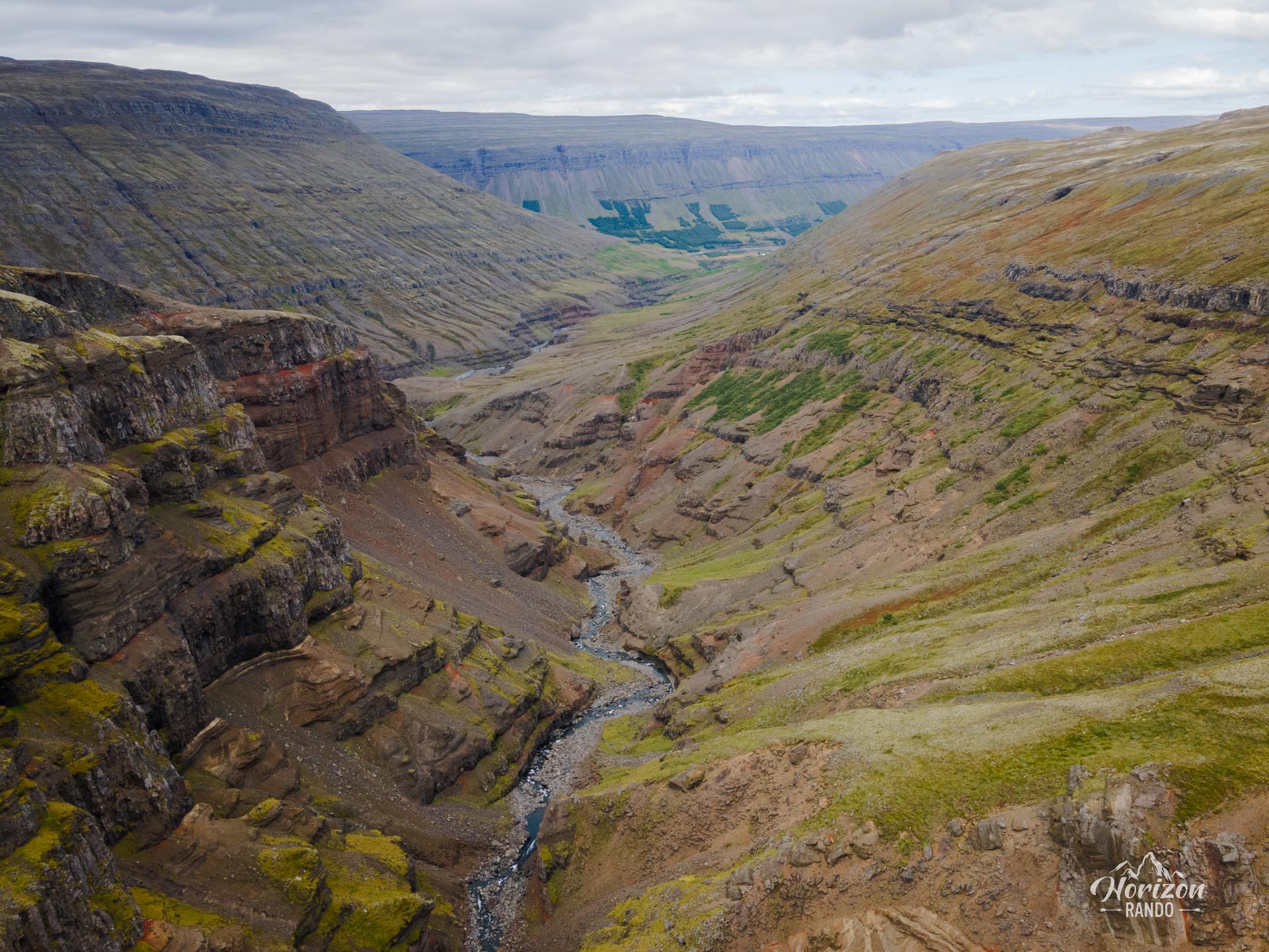
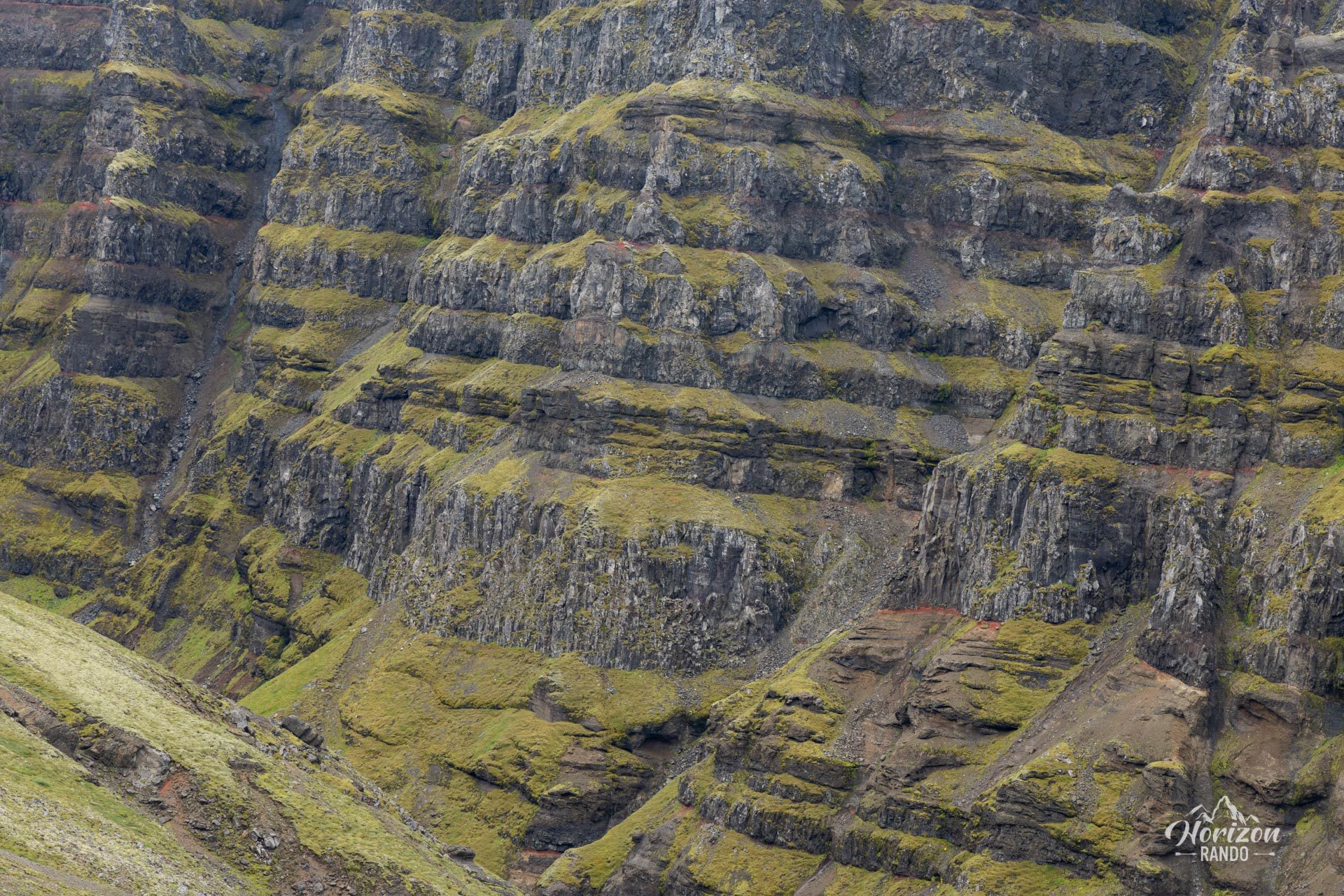
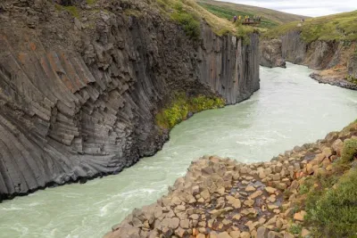
Although it is less famous than its neighbor Hengifoss, the two waterfalls have many similarities. The Strútsgil Gorge features striking contrasts, with layers of gray basalt alternating with layers of red clay against the backdrop of lush green vegetation.
Map and elevation profile of the hike
Strútsfoss Hike
Difficulties of the hike
The trail is well marked and presents no particular difficulty. The gradual, steady climb leads to a magnificent viewpoint with breathtaking views of the waterfalls and colorful canyon.
What you'll love
- Authenticity and tranquility: Unlike the popular Hengifoss, the Strútsfoss waterfall is visited by only a few hikers, offering a more wild and unspoiled experience.
- A unique geological landscape: The Strútsgil Gorge features layers of gray basalt alternating with layers of red clay, creating a canyon of contrasting colors and striking beauty.
- A majestic waterfall: At 120 meters high and spread over two levels, Strútsfoss is one of the highest waterfalls in Iceland.
Practical information
Access
The hike starts at the last farm in Suðurdalur and is accessible via a ten-kilometer trail. This trail is passable for all vehicles.
Comparison with Hengifoss
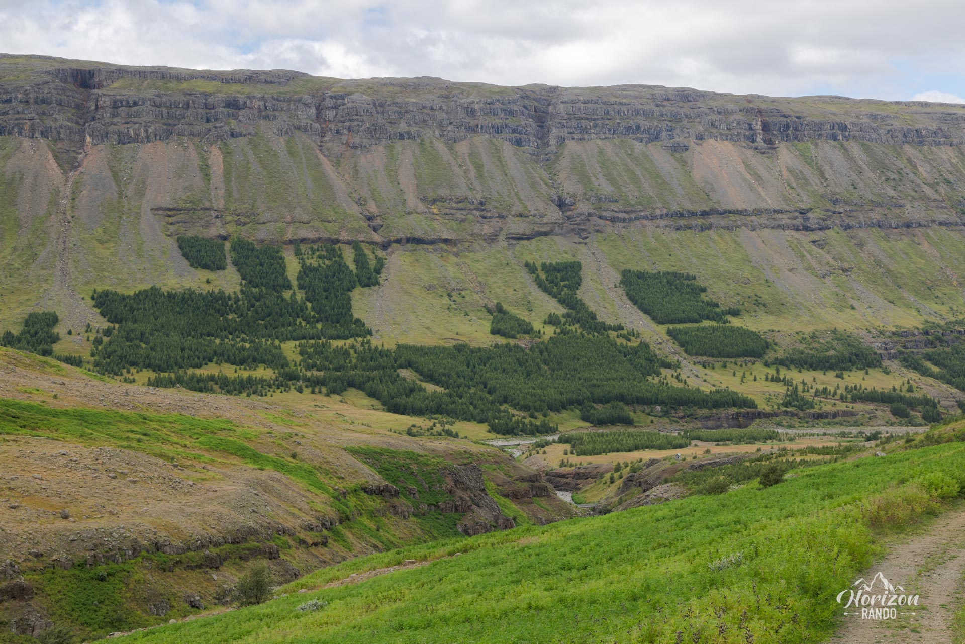
Strútsfoss is less well known but just as spectacular as Hengifoss. Its relative obscurity is mainly due to its more difficult access, requiring a ten-kilometer drive. The trail to Strútsfoss has fewer photogenic viewpoints than the one to Hengifoss, but its wild and isolated character is charming. I rate it 3.5 stars because the falls are only revealed at the end of the trail, and the landscape during the first part of the hike is rather ordinary.
Photos
See all 11 photos →
More hikes to do in Iceland
Nearby hikes











Printed from www.horizonrando.fr/en/iceland/strutsfoss/