





Dettifoss East Hike
Key facts about the hike
- Difficulty
- Easy Hikes are rated from very easy to very hard: my difficulty scale
- Duration
- 1h30 Estimated time, short breaks included (photos, water, snacks), picnic not included: how it is calculated
- Distance
- 3.9km
- out and back
- Elevation gain
- 70m
- Type of route
- Out and back
- Maximum altitude
- 350 m
- Vertiginous Five levels, depending on how exposed the route is: the levels in detail
- No
- Marked
- Yes
- Popularity
- Moderate
- Region
- North
- Start point
- 65.81883, -16.37935
- Activity
- Hiking
Hike overview
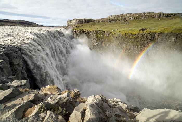
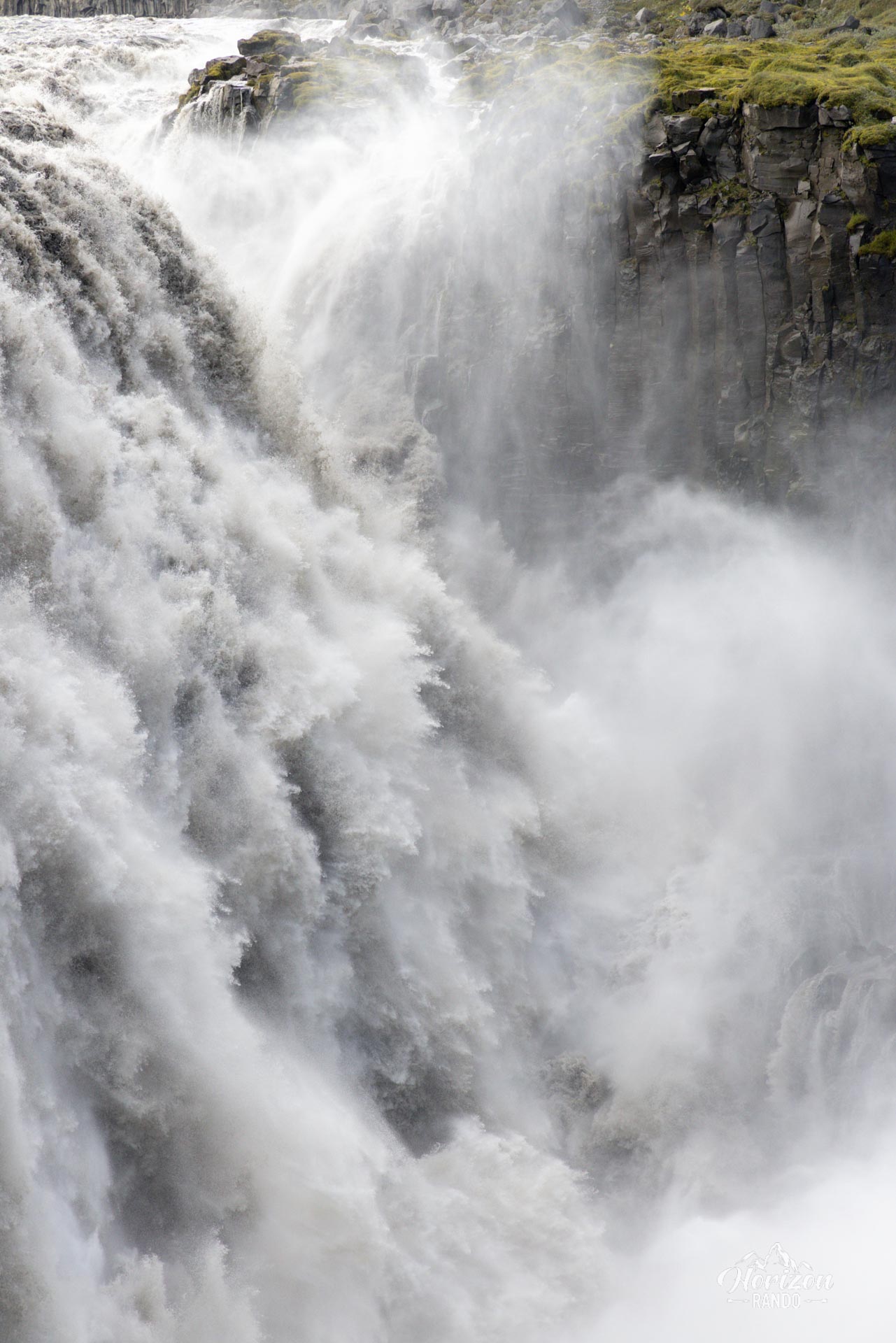
The Dettifoss waterfall is fed by the Jökulsá á Fjöllum glacial river, which flows down from Vatnajökull, the largest glacier in Europe.
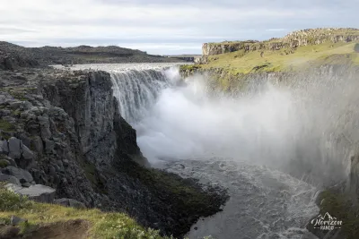
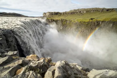
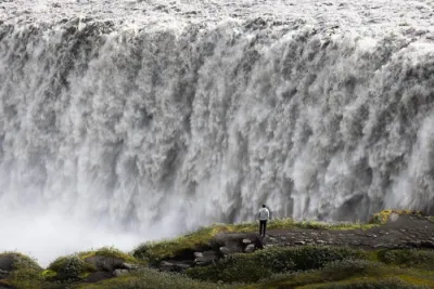
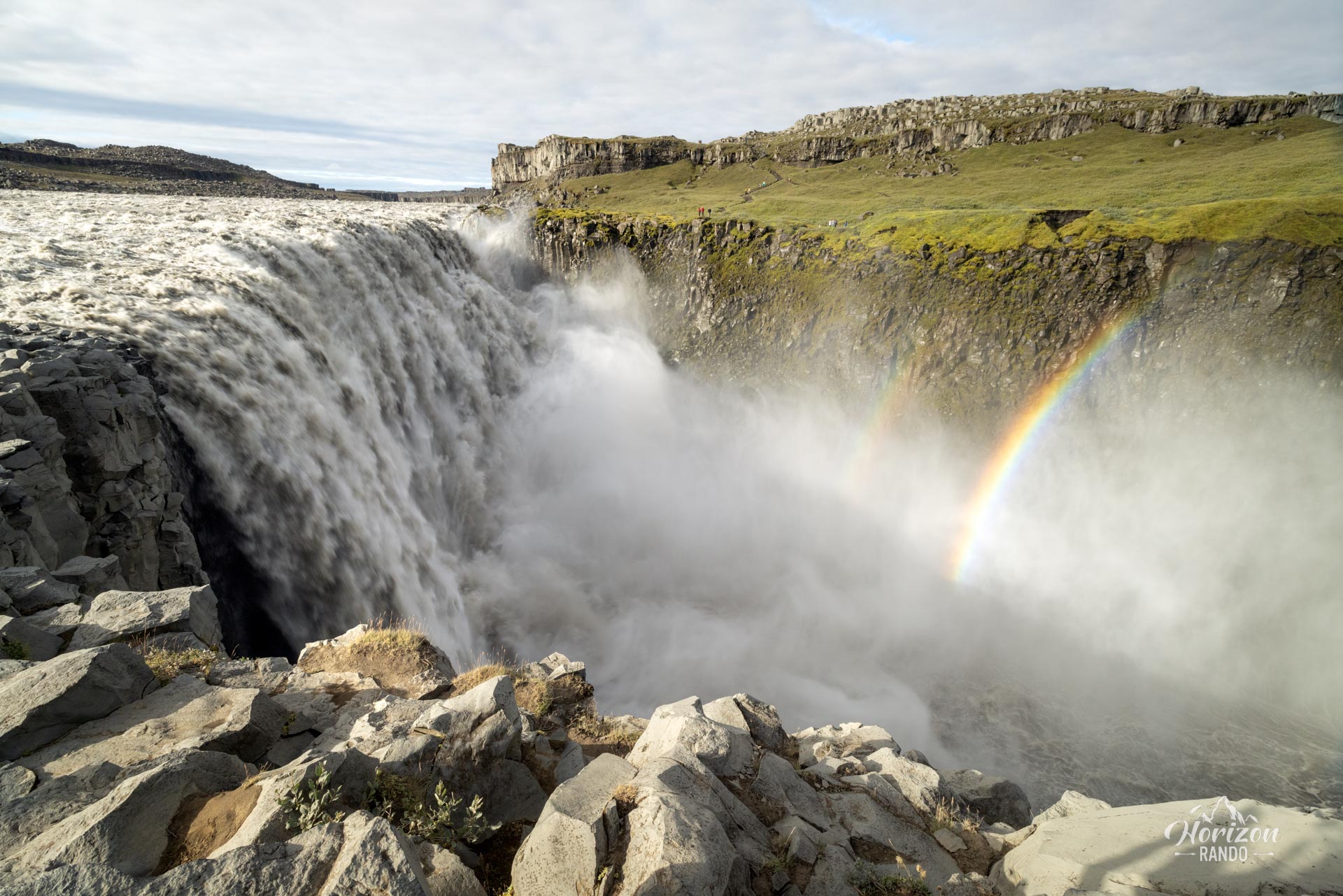
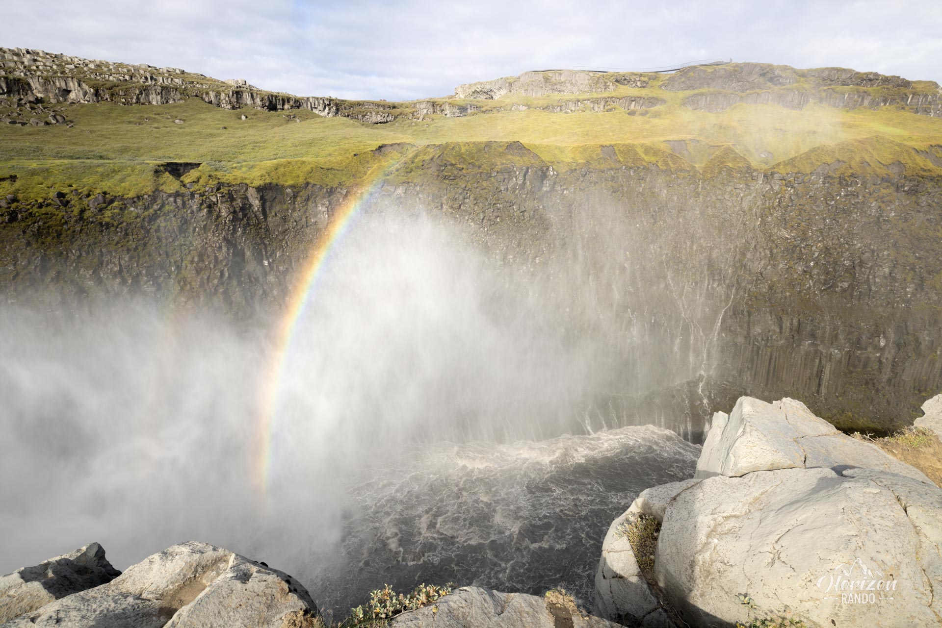
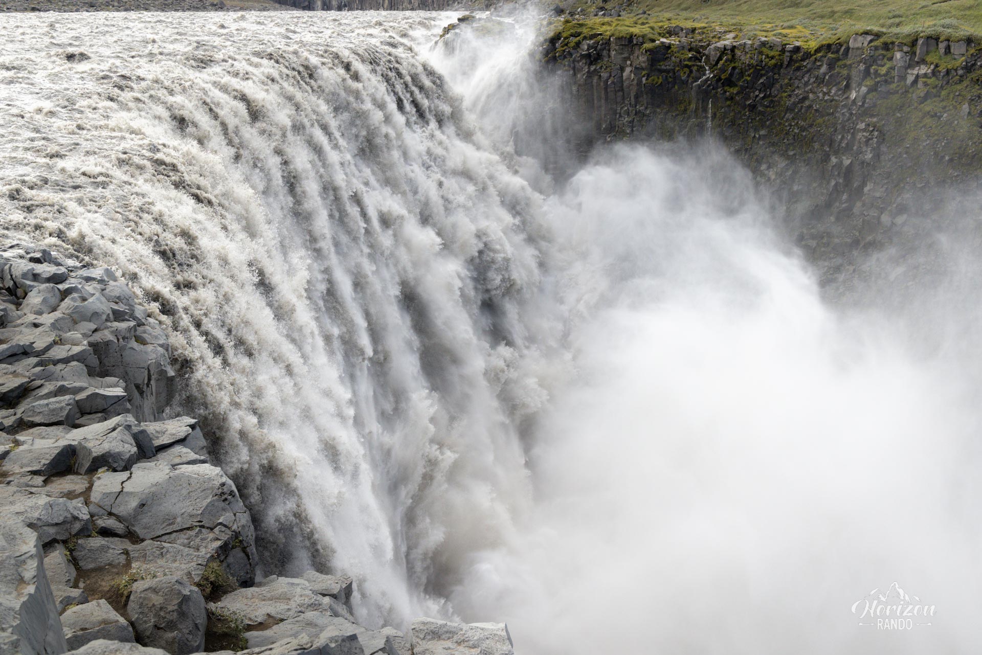
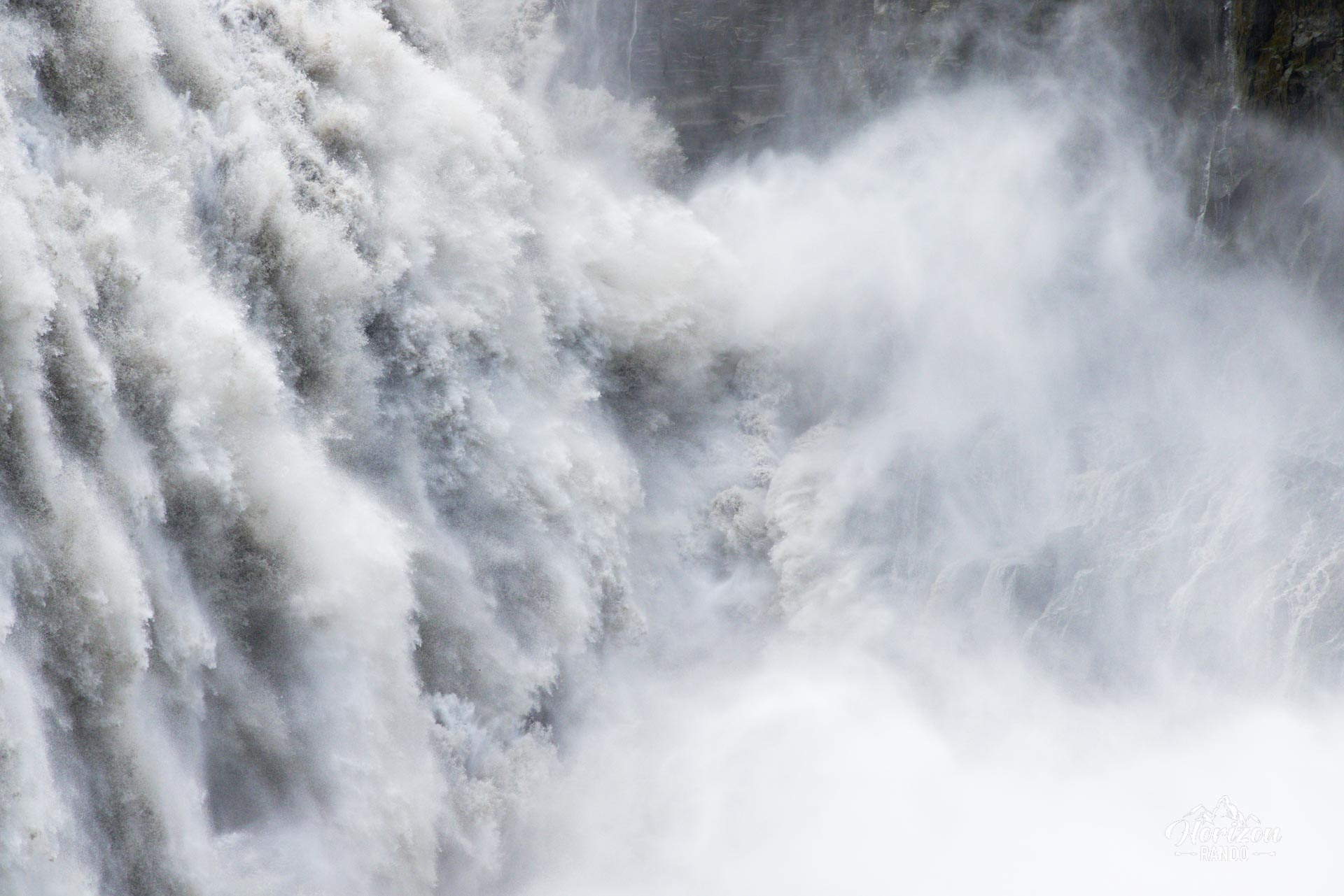
It is extremely powerful and the second most powerful waterfall in Europe, with an average flow of 500 m³/s in the summer. The deafening roar of the waterfall and the spray create an atmosphere that leaves no one indifferent. The falls are 100 meters wide and 44 meters high.
This route is less crowded than the west side and will appeal to visitors seeking a more authentic experience in the heart of Iceland's northern Highlands.
Map and elevation profile of the hike
Dettifoss East Hike
Difficulties of the hike
The hike is short, easy, with no significant elevation gain, making it accessible to most people.
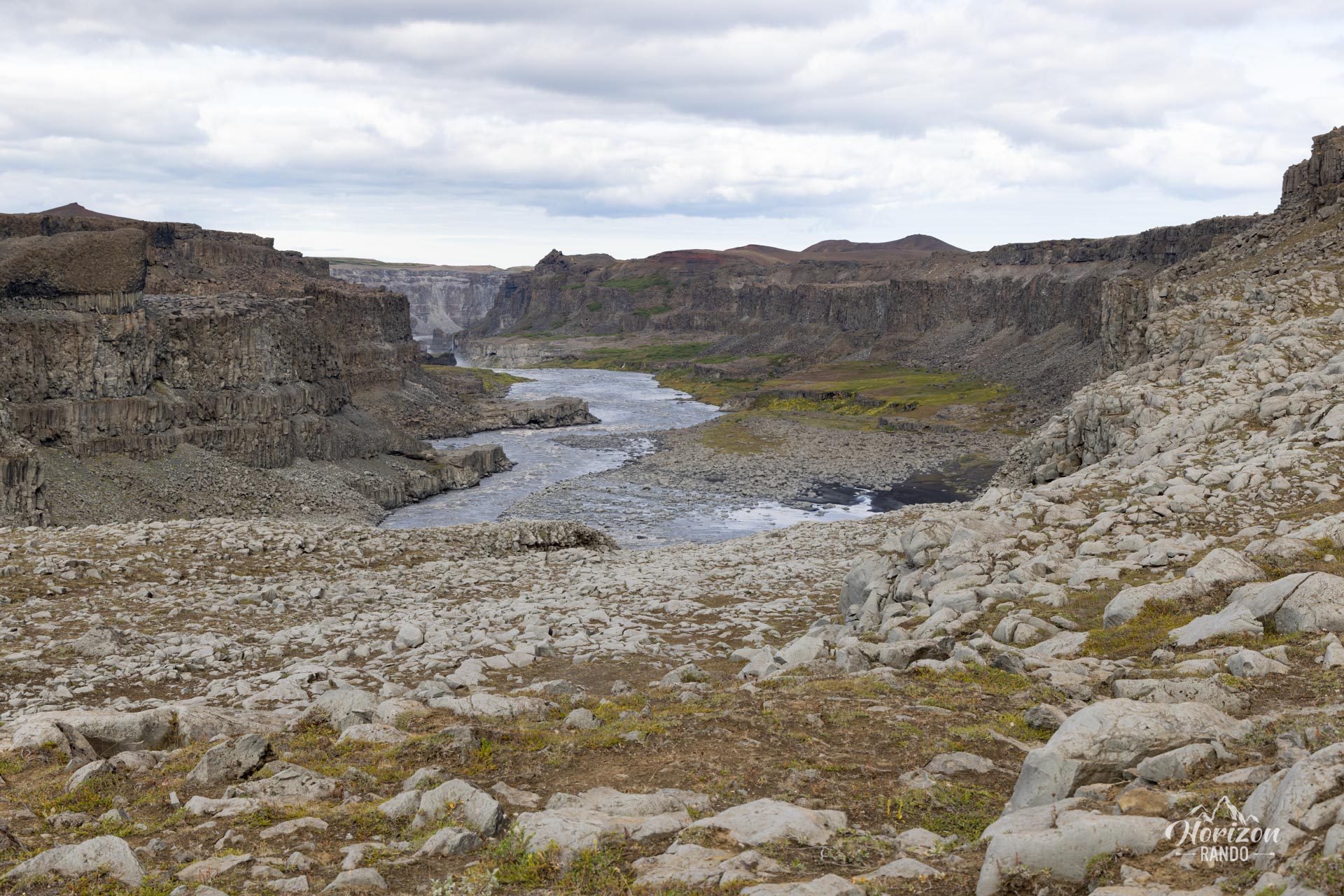
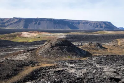
The trail crosses volcanic terrain, which is characteristic of the region and consists of black basalt, pebbles, and rock formations from ancient lava flows.
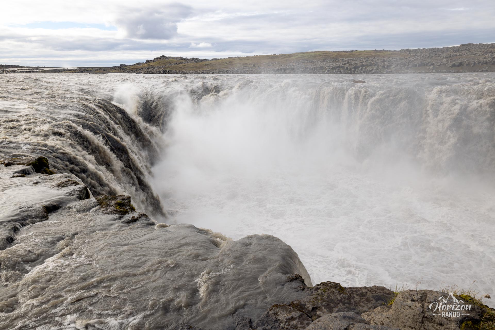
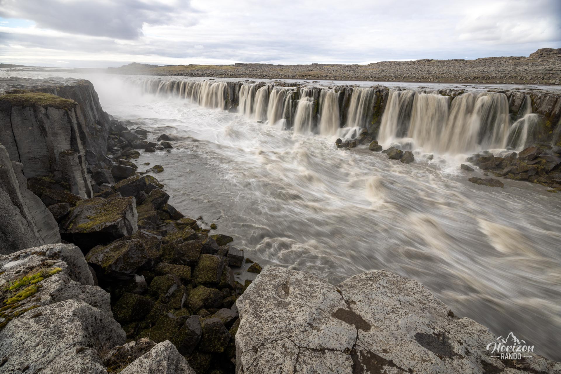
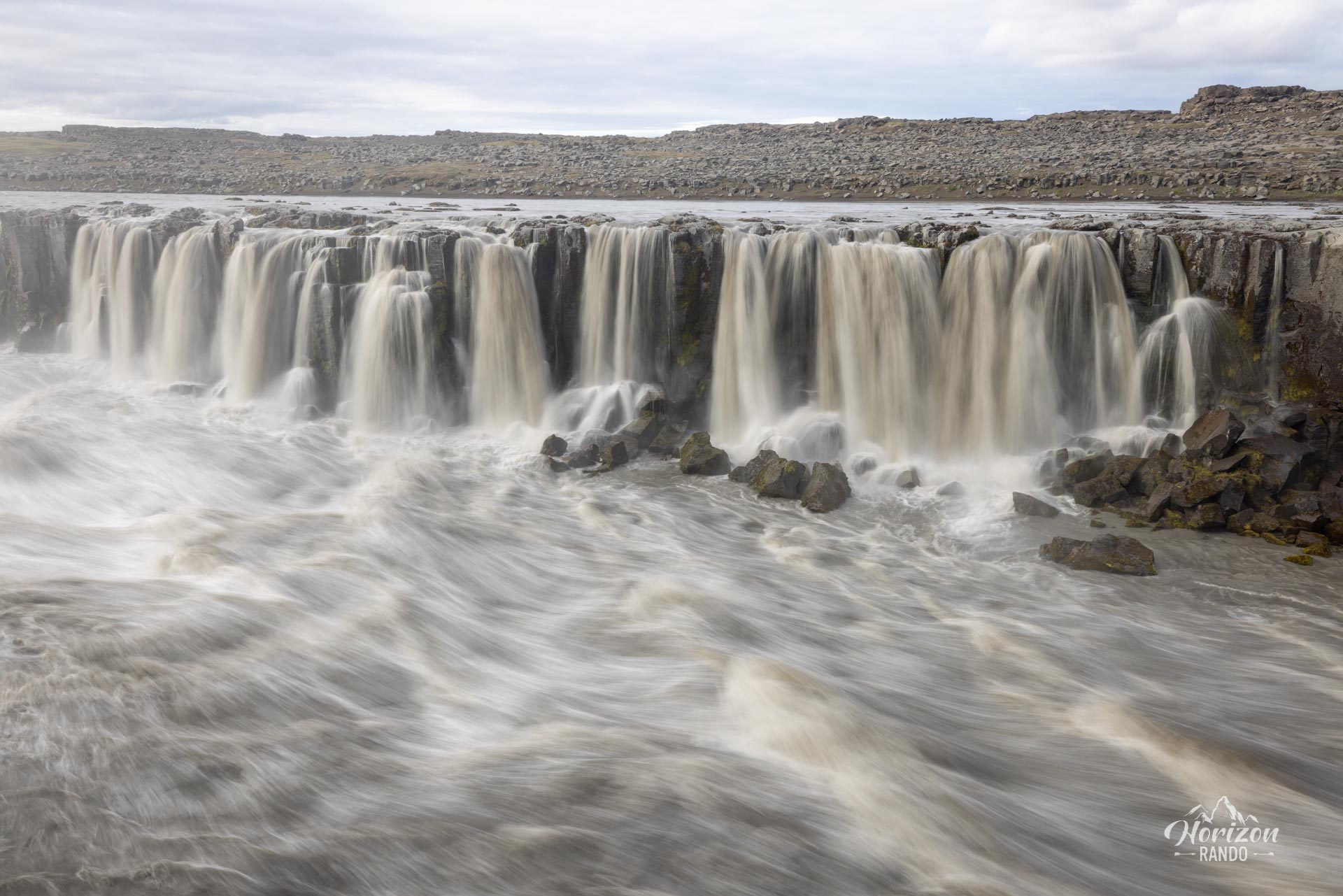
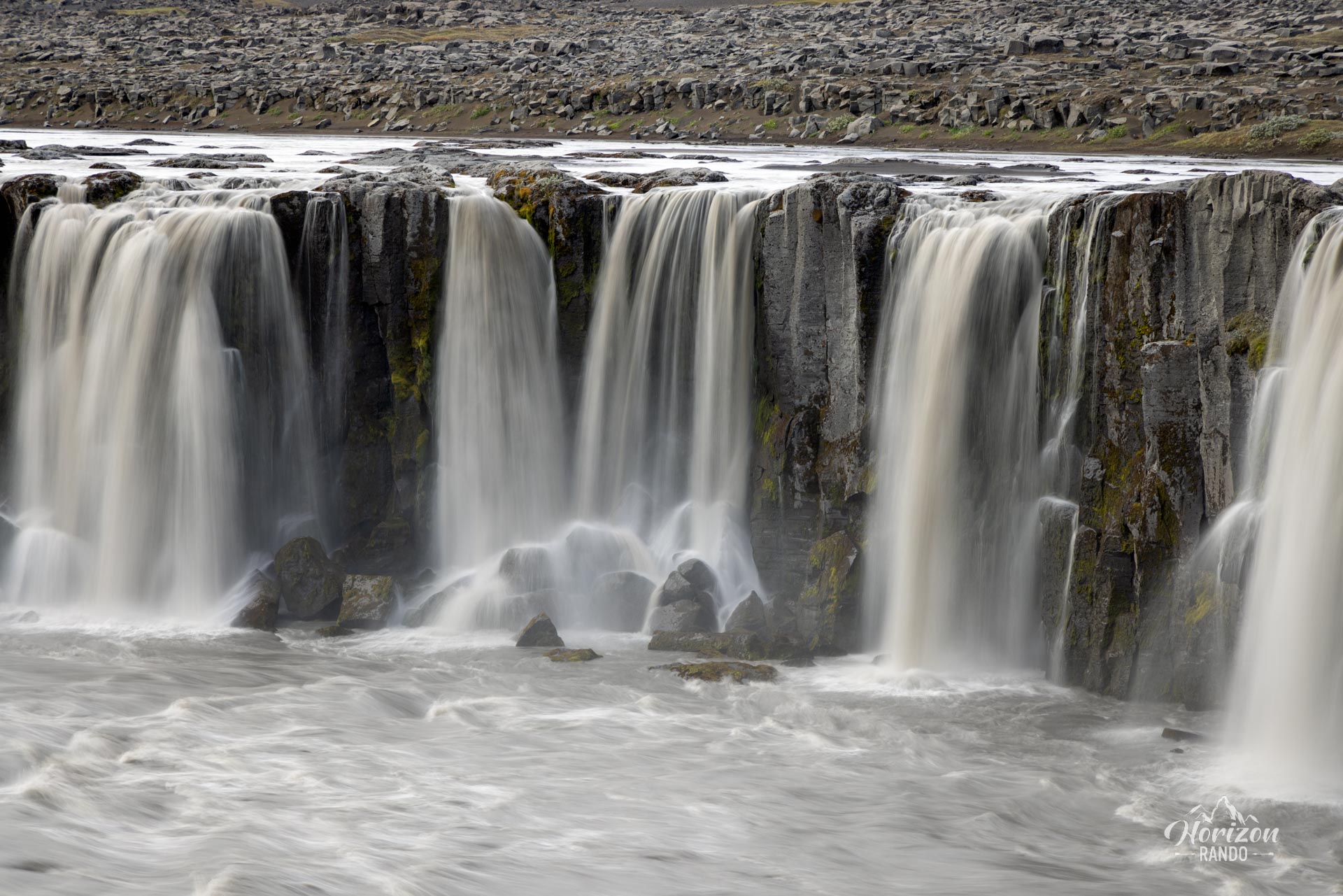
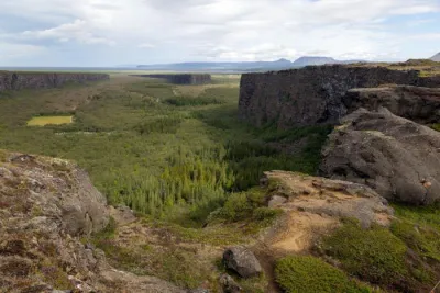
The route is marked, and the roar of the waterfall makes orientation easier, as it can be heard from afar. The trail then follows the river to the equally splendid Selfoss Falls, which are less imposing but much more numerous.
What you'll love
- The raw power of Dettifoss: Witness the mesmerizing spectacle of tons of water pouring down with a rumbling roar and creating a permanent cloud of spray.
- Selfoss Waterfall: Continue your walk upstream to discover Selfoss, a delicate waterfall that contrasts with the raw power of Dettifoss.
- Spectacular lunar landscape: Explore a volcanic landscape of gray and black tones typical of Iceland's highlands, which enhances the site's dramatic character.
- The relative tranquility of the east side: Less crowded than the west side, this area offers a more authentic and peaceful experience—ideal for contemplating the waterfall without crowds.
Practical information
Best time to go
June to September, when Route 864 is open and passable. It is usually closed in the winter due to difficult weather conditions. Check road conditions on road.is before setting off.
East Bank or West Bank
You will have to choose whether to explore the east or west side of Dettifoss Falls. There is no bridge connecting the two sides, so traveling between them requires more than a 50-mile road trip.
The east side is significantly less touristy because it is only accessible via a gravel road. However, this road is passable with any vehicle. Additionally, the view of Selfoss Falls is much more impressive from the east side. If you don't mind rough roads, I recommend choosing this side for your visit.
Photos
See all 11 photos →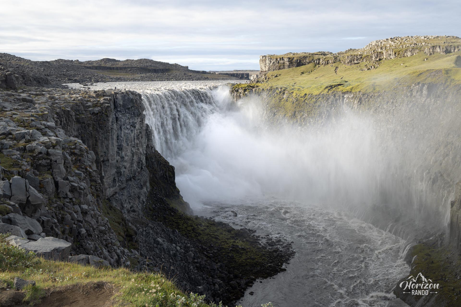
More hikes to do in Iceland
Nearby hikes
















Printed from www.horizonrando.fr/en/iceland/dettifoss-east/