





Hverfjall Crater Hike
Key facts about the hike
- Difficulty
- Easy Hikes are rated from very easy to very hard: my difficulty scale
- Duration
- 1h30 Estimated time, short breaks included (photos, water, snacks), picnic not included: how it is calculated
- Distance
- 4.5km
- Elevation gain
- 230m
- Type of route
- Loop
- Maximum altitude
- 560 m
- Vertiginous Five levels, depending on how exposed the route is: the levels in detail
- No
- Marked
- Yes
- Popularity
- Moderate
- Region
- North
- Start point
- 65.61291, -16.87673
- Activity
- Hiking
Hike overview
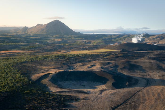
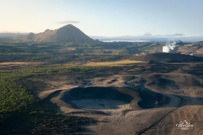
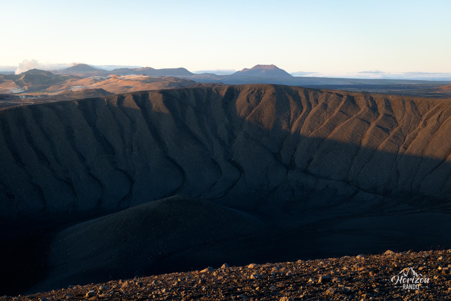
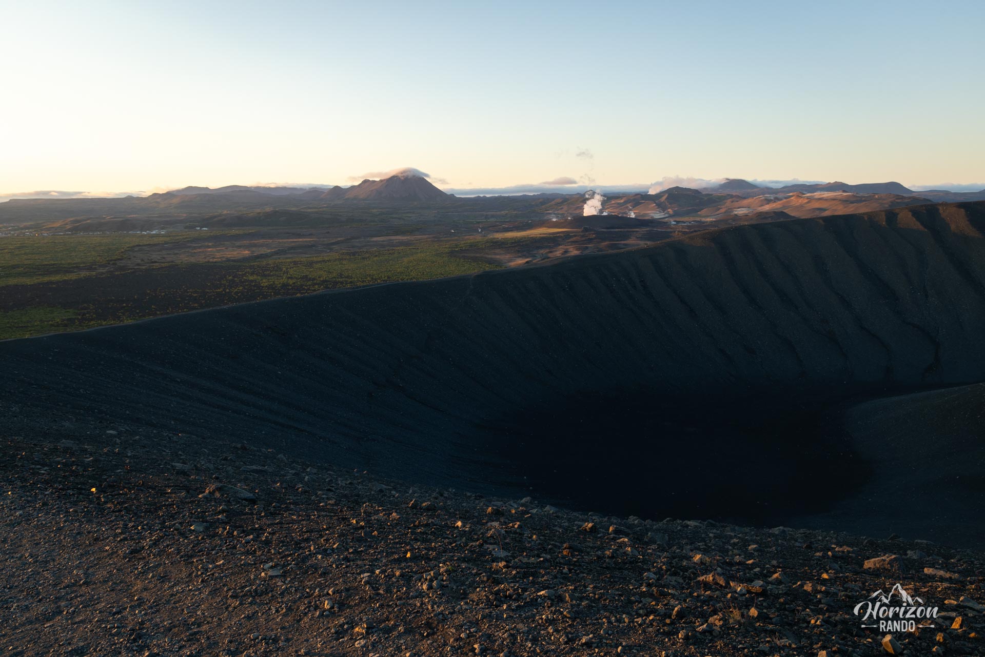
The Hverfjall crater hike (literally "the mountain with hot springs") takes you to the top of one of Iceland's most impressive craters, formed about 2,500 years ago during an explosive eruption.
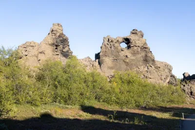
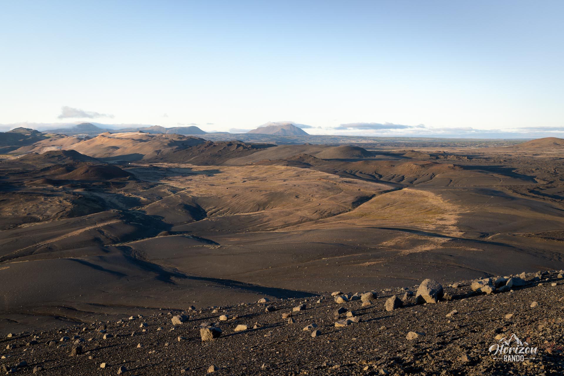
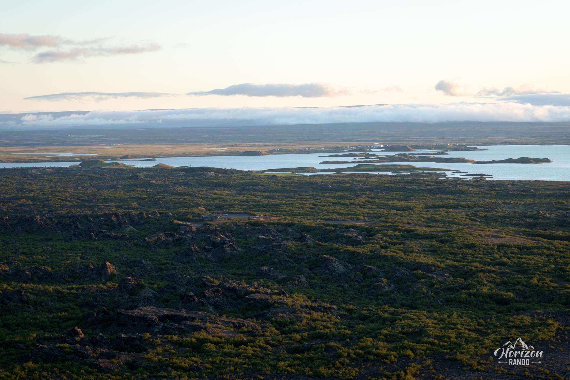
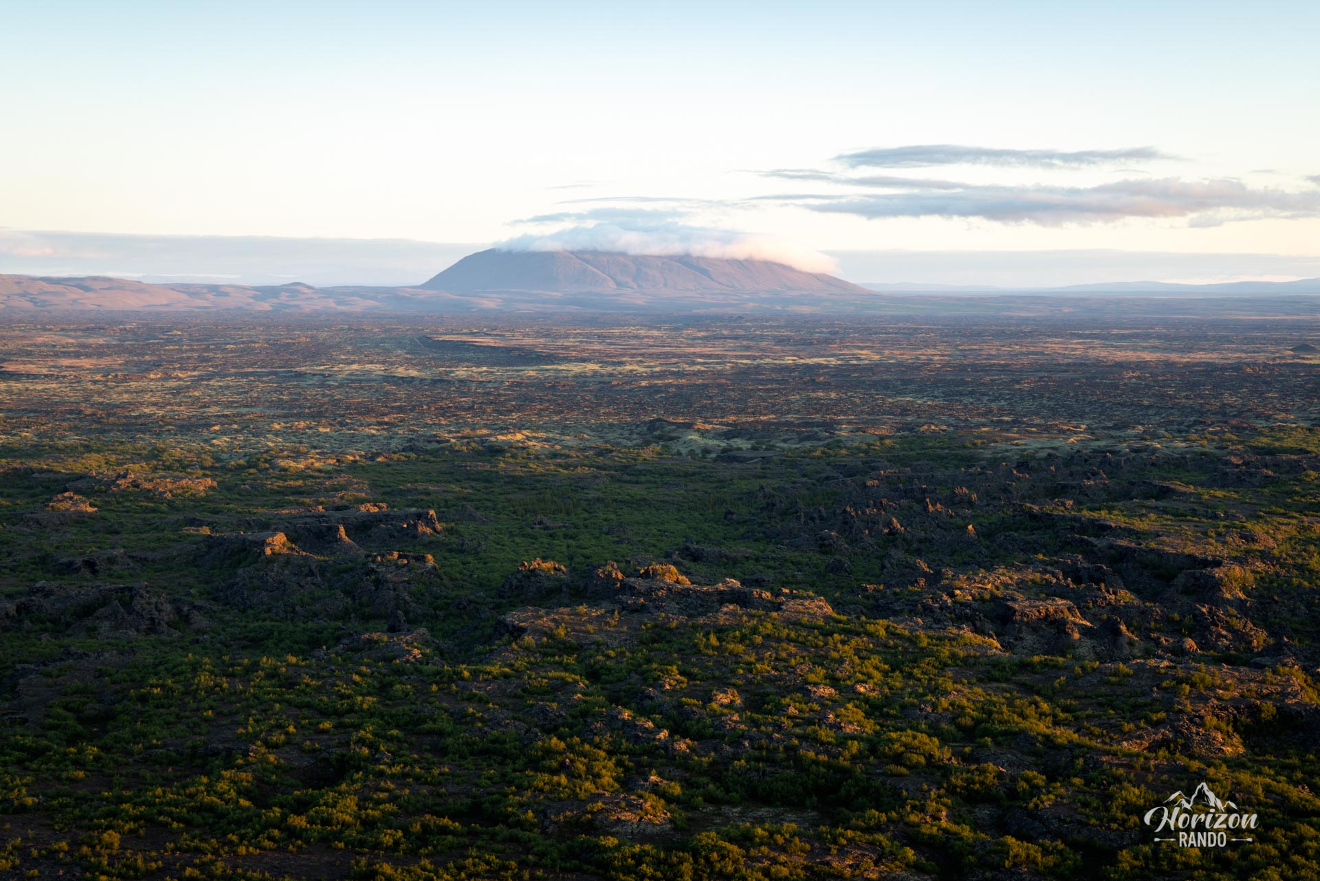
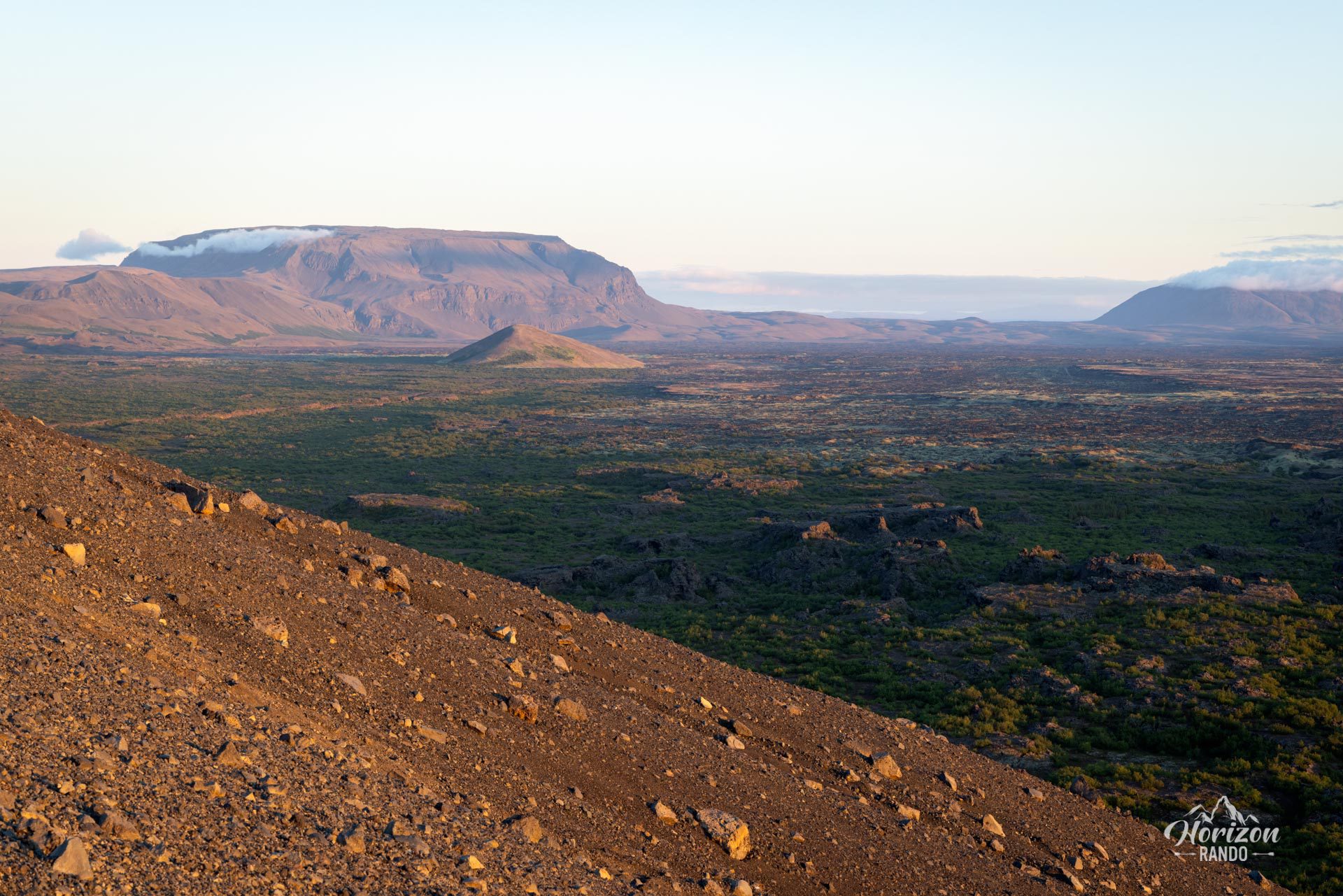
This nearly perfect volcanic cone, measuring one kilometer in diameter, dominates the Lake Mývatn region, offering from its edges exceptional panoramic views of the Dimmuborgir lava fields, Lake Mývatn, and the surrounding geological formations.
Map and elevation profile of the hike
Hverfjall Crater Hike
Difficulties of the hike
The ascent of Hverfjall crater does not present any technical difficulties, but the initial climb is steep and takes place on volcanic ash.
The trail is well marked and easy to follow: it climbs directly from the parking lot to the edge of the crater, then goes all the way around the rim.
What you'll love
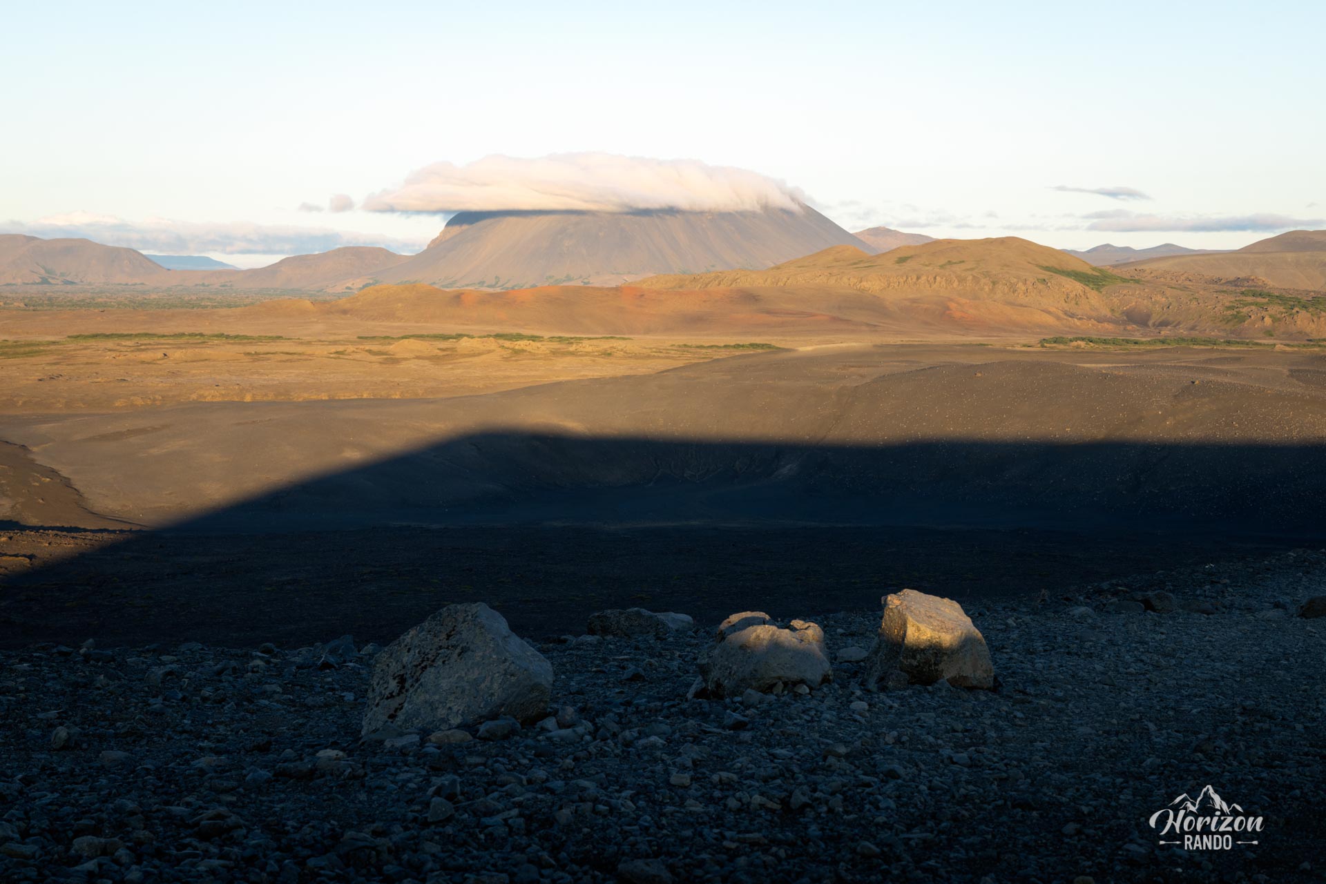
- The 360° panorama from the crater rim: a spectacular view of Lake Mývatn, the Dimmuborgir lava fields, the Krafla volcano, and volcanic landscapes stretching as far as the eye can see.
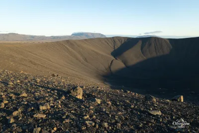
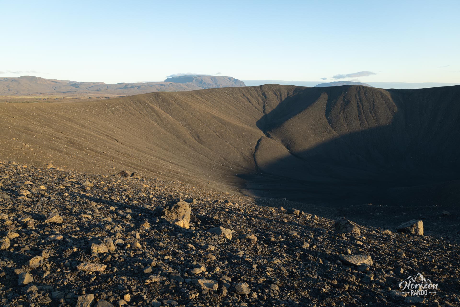
- The view down into the crater, which offers from the rim a perspective of the 150-meter-deep basin covered with black ash.
- Accessibility: a short, easy hike, ideal for exploring a major natural site without spending all day there, easily incorporated into a tour around Lake Mývatn.
Practical information
Access
The crater is located about 5 km south of the village of Reykjahlíð. Free parking is available directly at the foot of the crater, near Route 848.
Best time to go
The site is accessible year-round, but the best conditions are from May to September. In winter, the trail may be icy and require crampons.
Photos
See all 9 photos →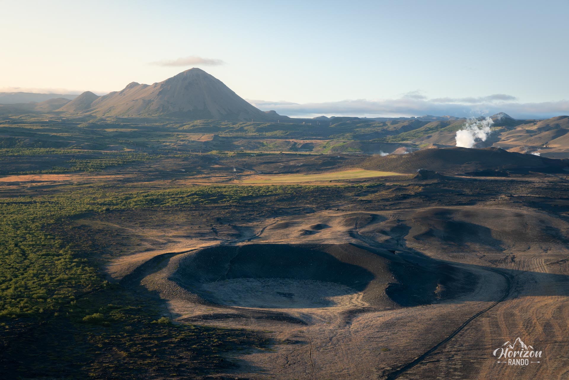
More hikes to do in Iceland
Nearby hikes
















Printed from www.horizonrando.fr/en/iceland/hverfjall-crater/