





Hengifoss Hike
Key facts about the hike
- Difficulty
- Easy Hikes are rated from very easy to very hard: my difficulty scale
- Duration
- 1h45 Estimated time, short breaks included (photos, water, snacks), picnic not included: how it is calculated
- Distance
- 4.9km
- out and back
- Elevation gain
- 300m
- Type of route
- Out and back
- Maximum altitude
- 315 m
- Vertiginous Five levels, depending on how exposed the route is: the levels in detail
- No
- Marked
- Yes
- Popularity
- High
- Region
- East
- Start point
- 65.07351, -14.88068
- Activity
- Hiking
Hike overview
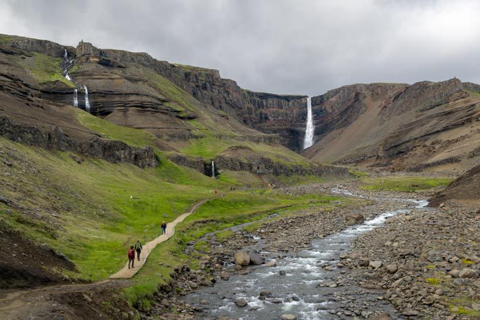
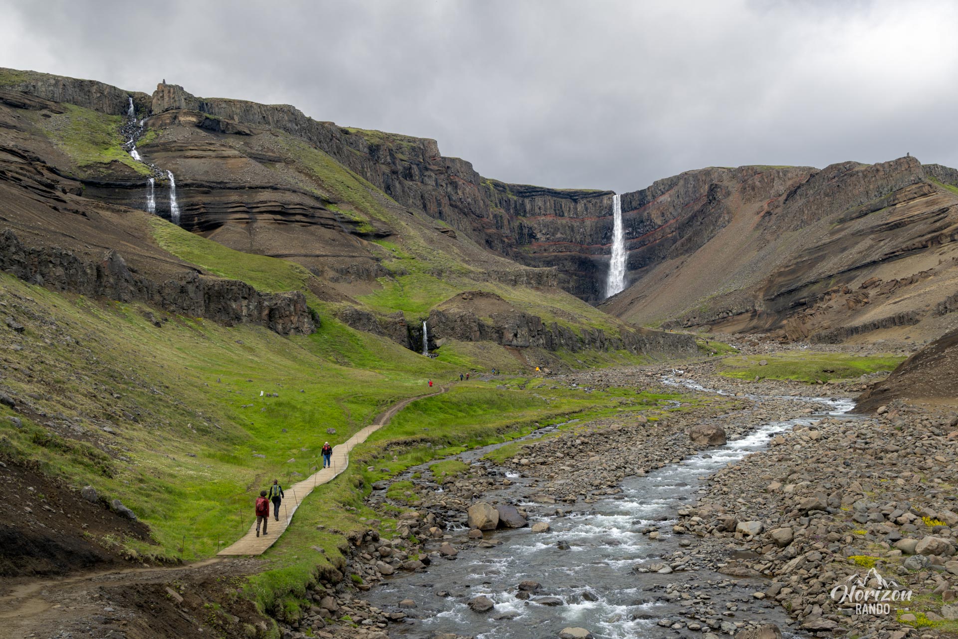
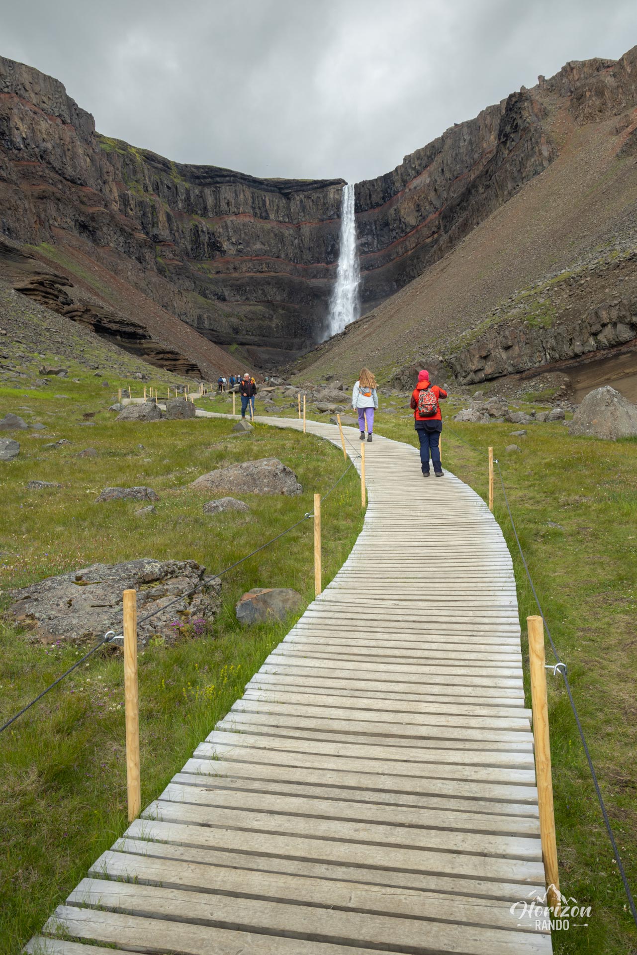
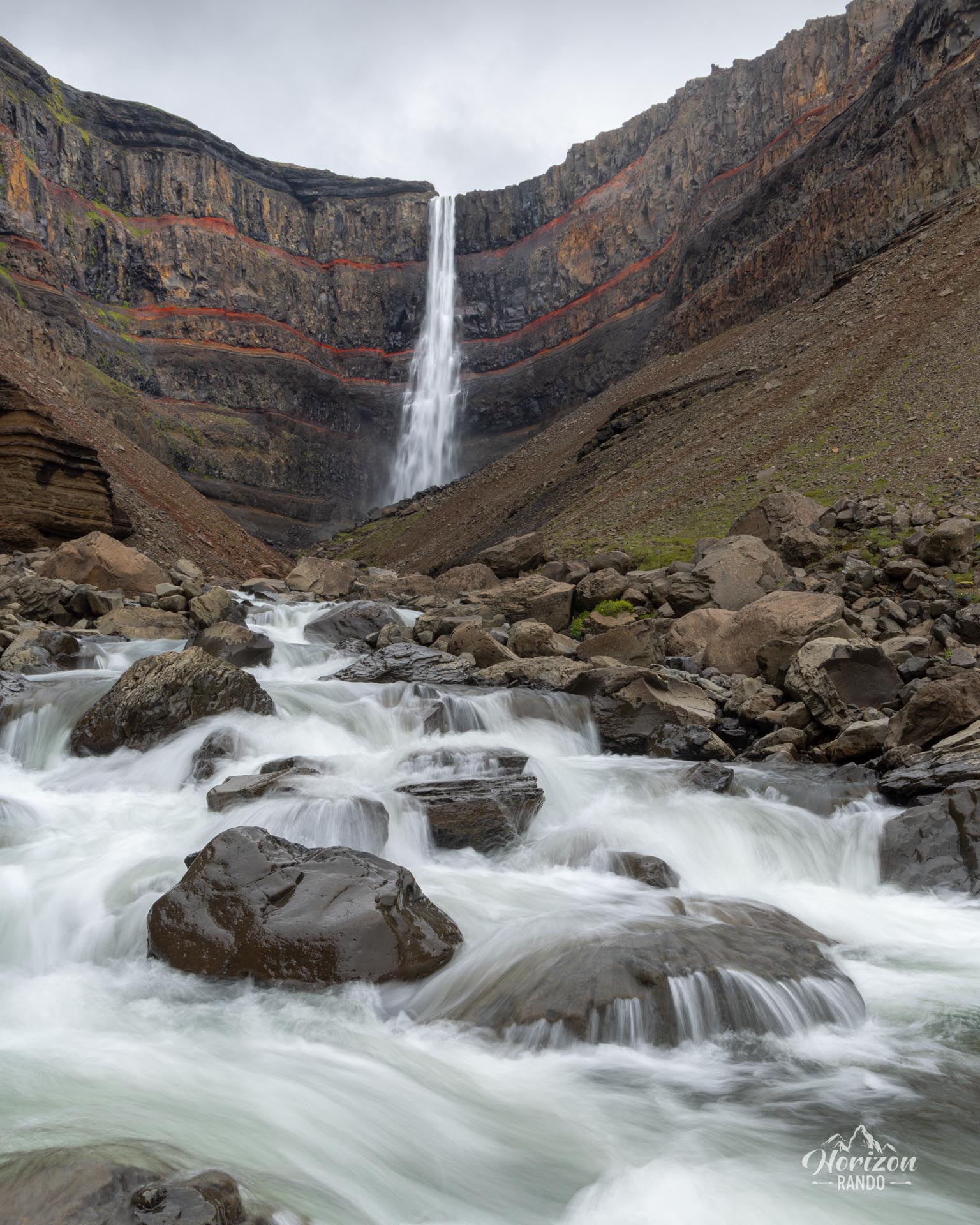
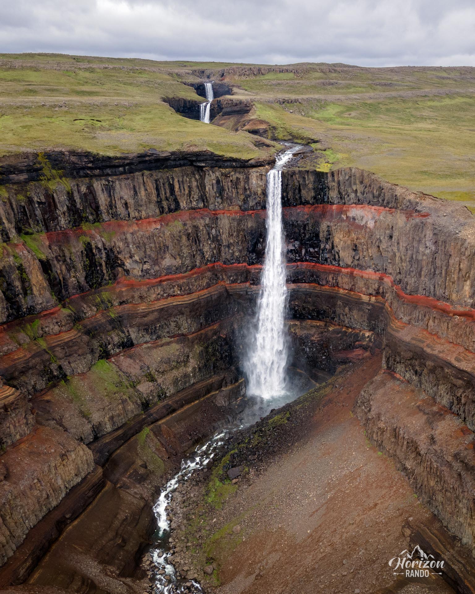
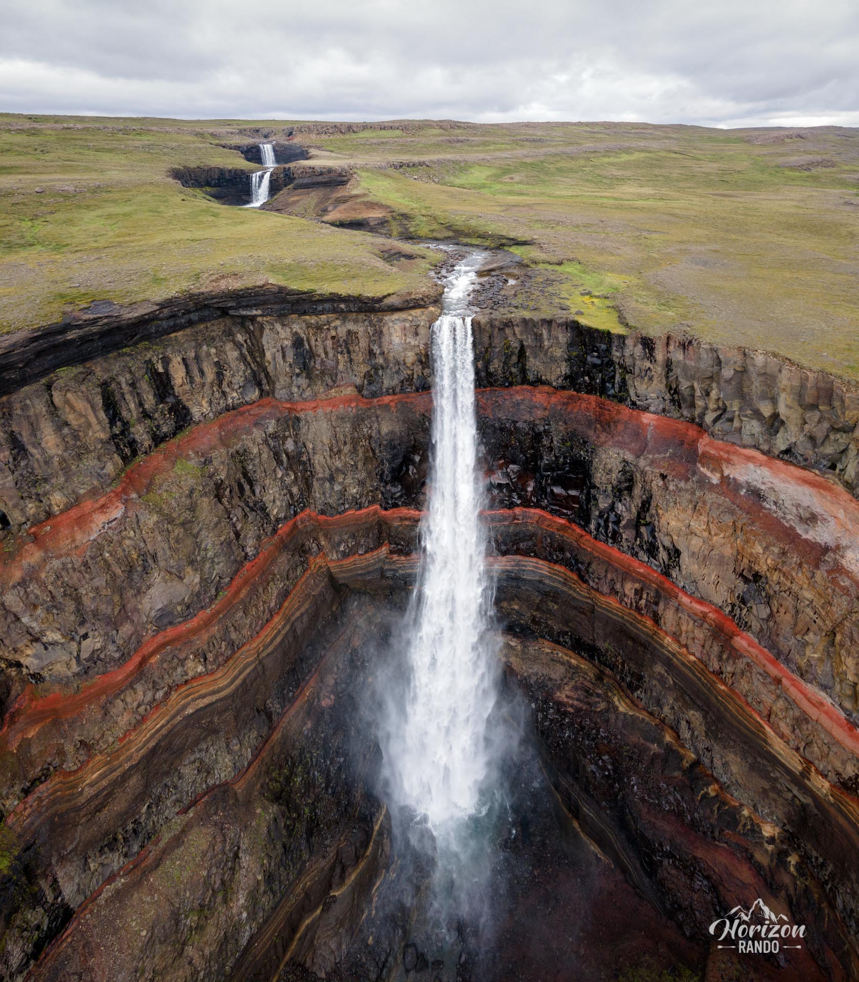
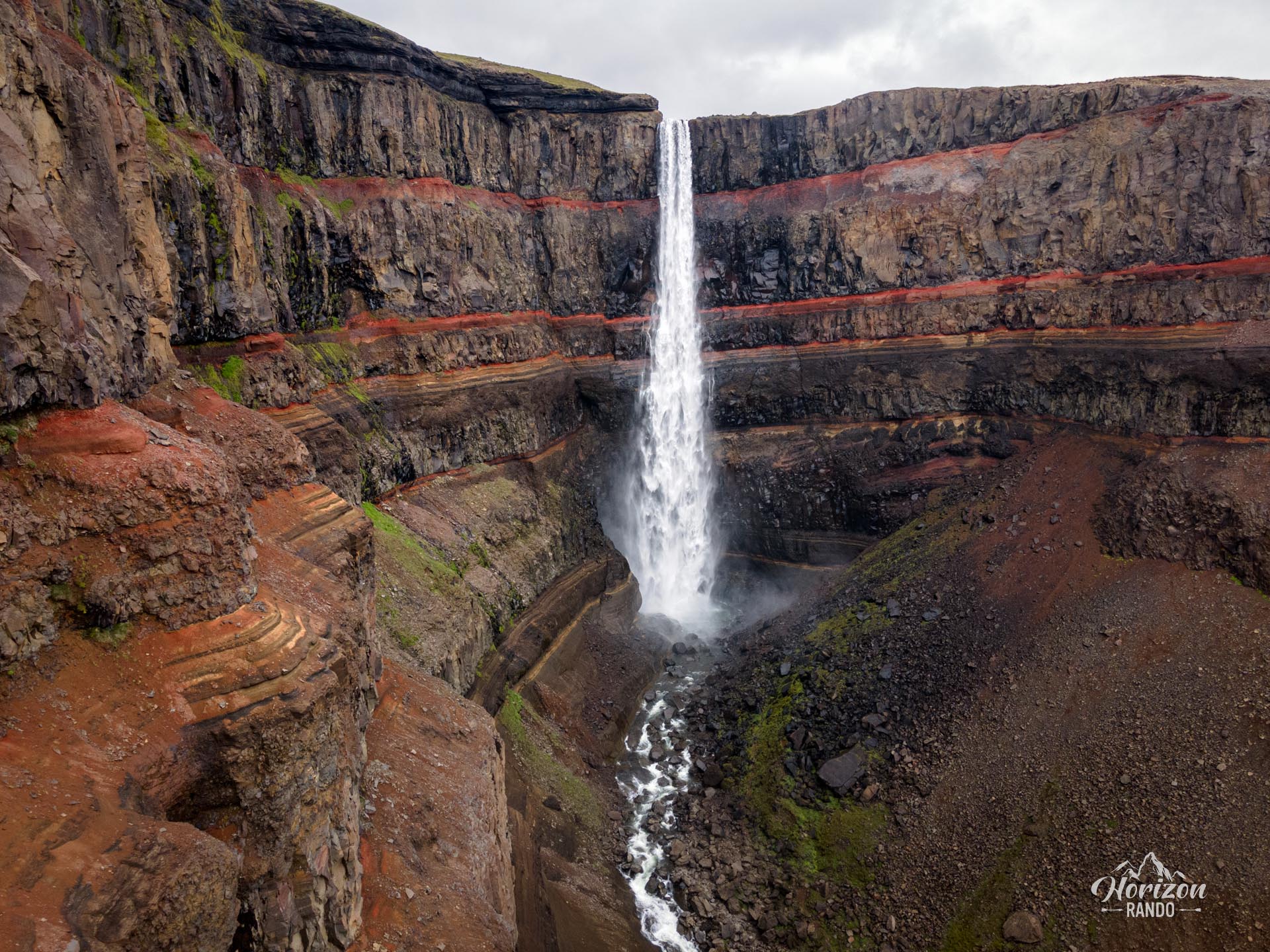
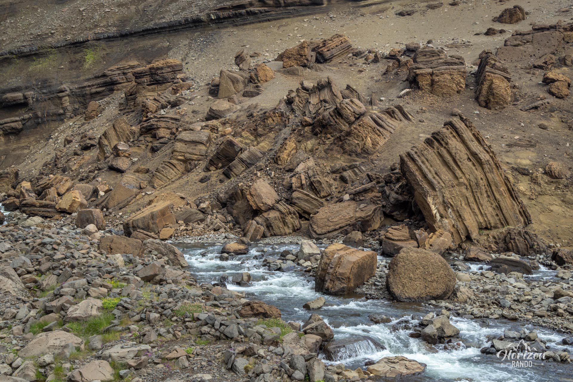
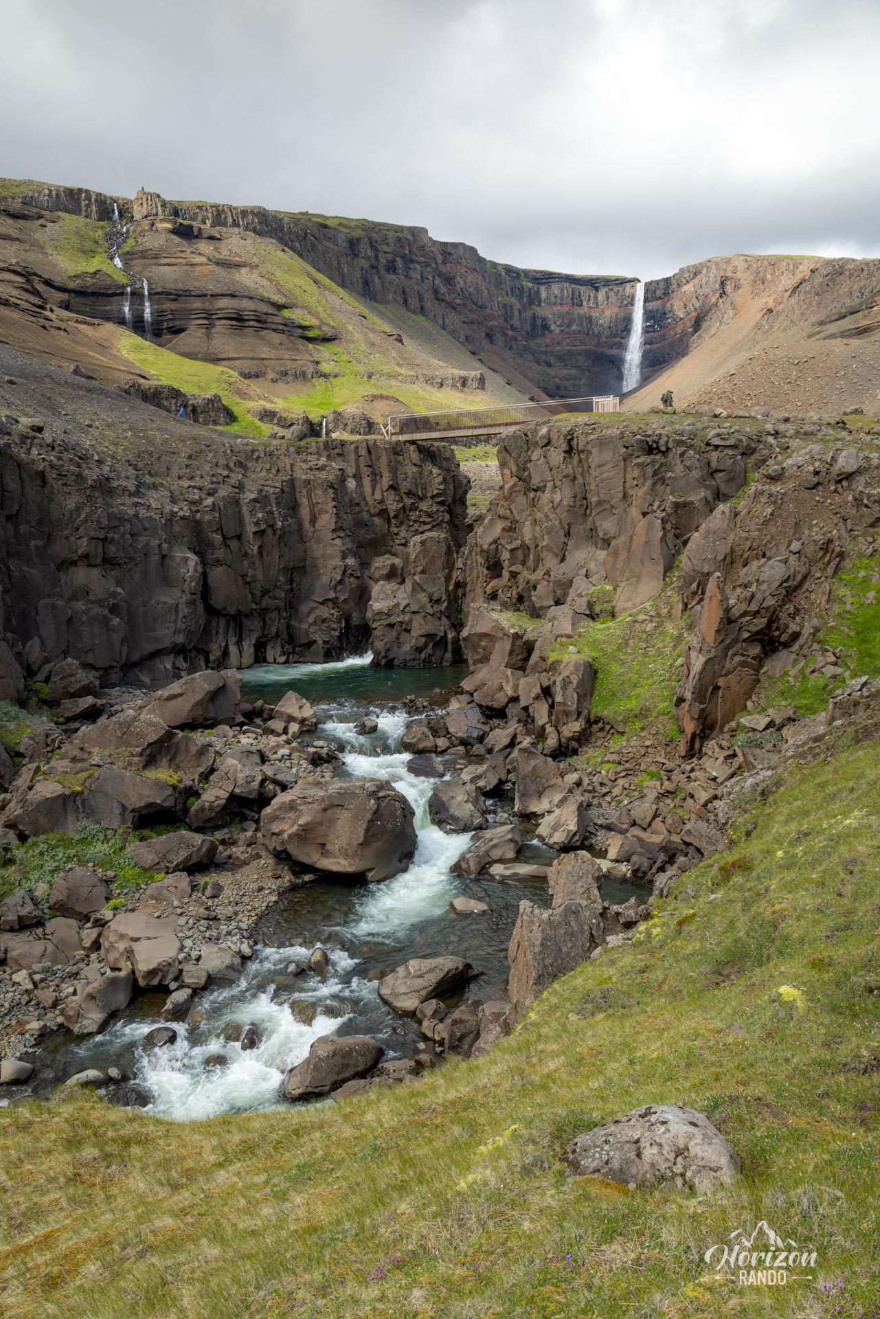
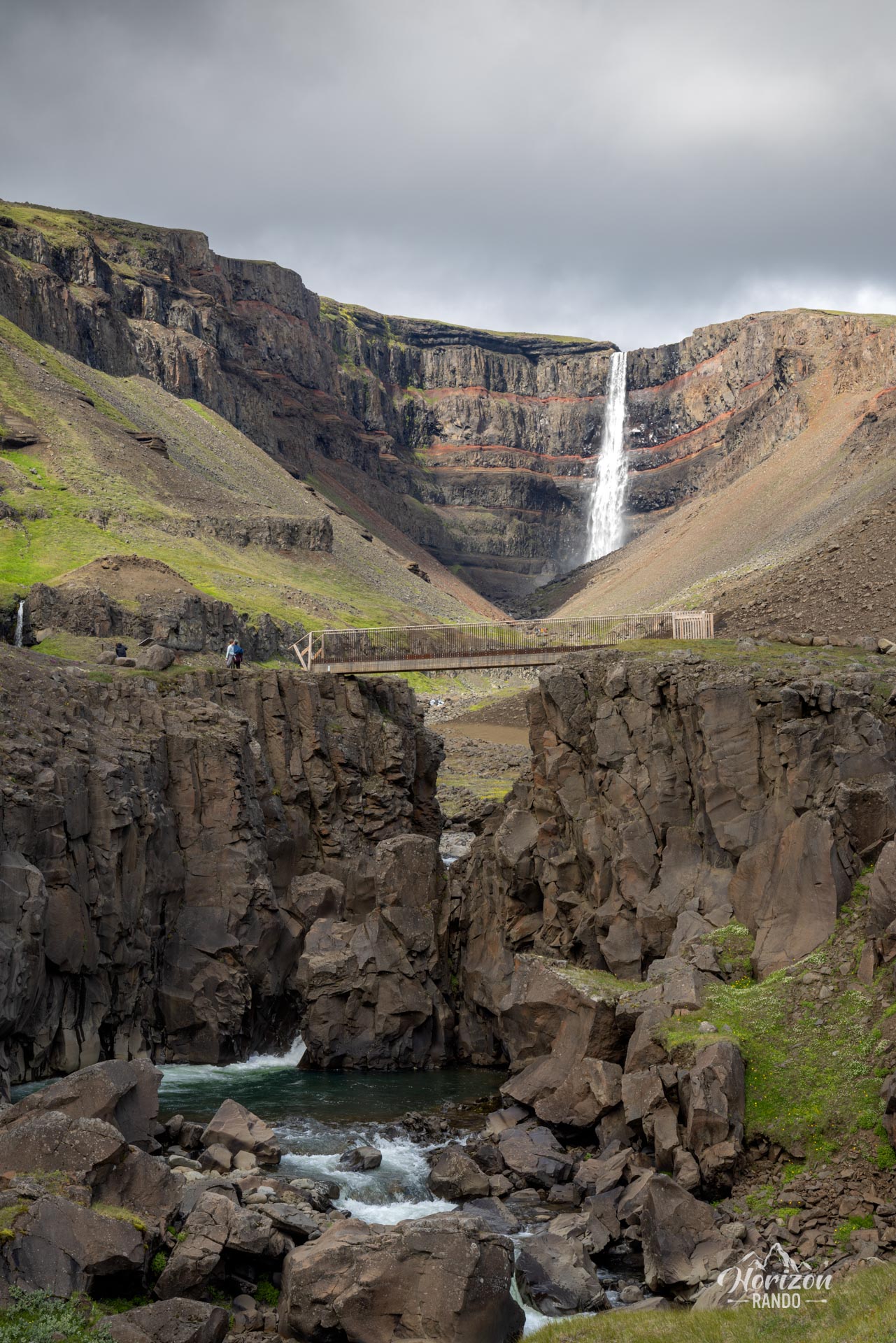
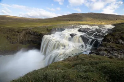
The Hengifoss hike takes you to Iceland's third-highest waterfall, where the Hengifossá River plunges 128 meters into the void. This natural wonder is characterized by its impressive geological strata, which alternate between layers of black basalt and thin bands of red clay, bearing witness to millions of years of volcanic activity.
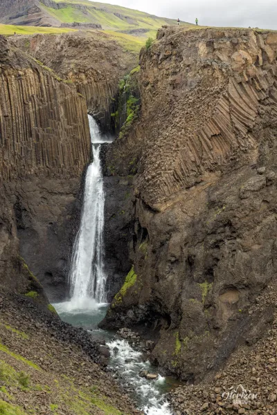
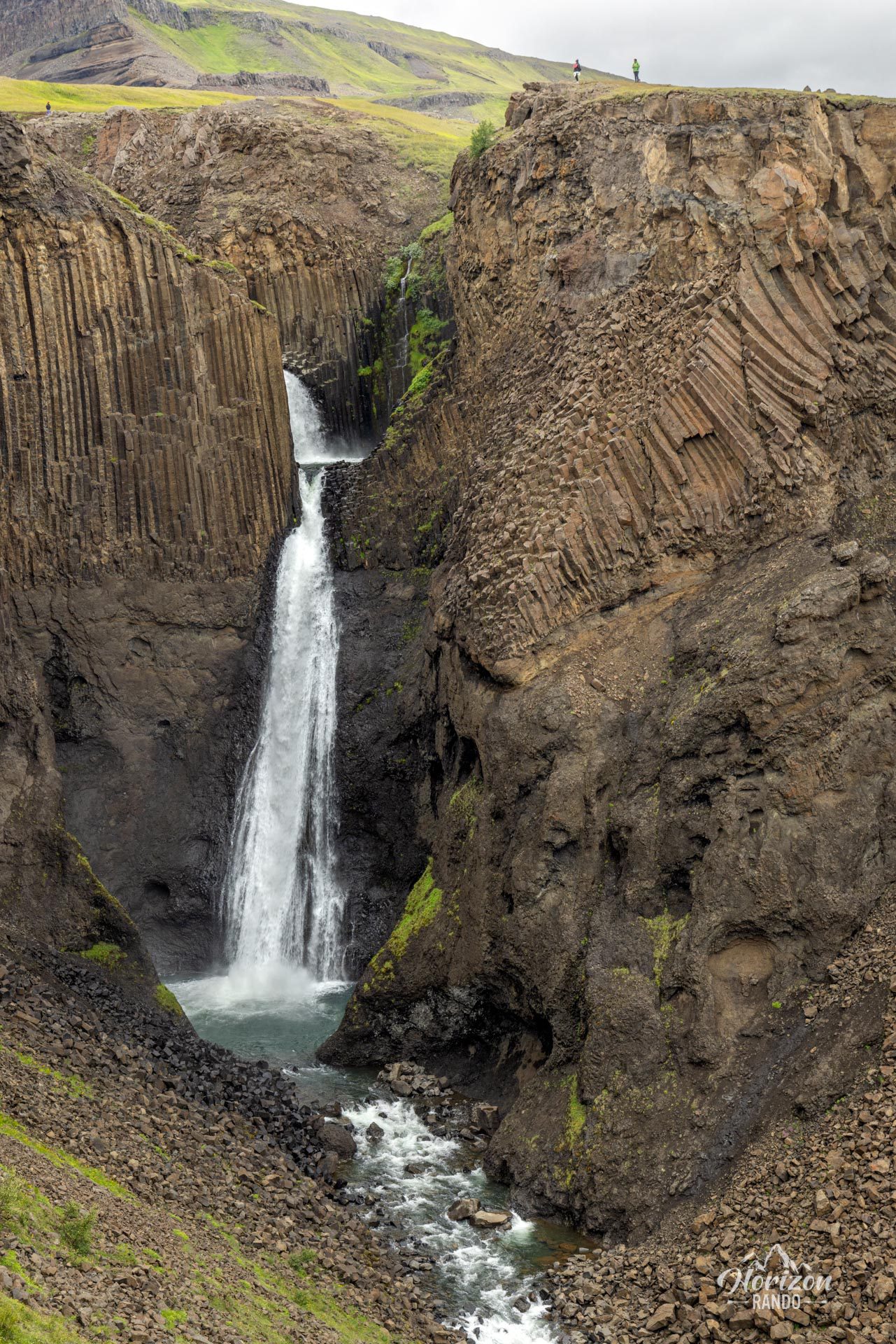
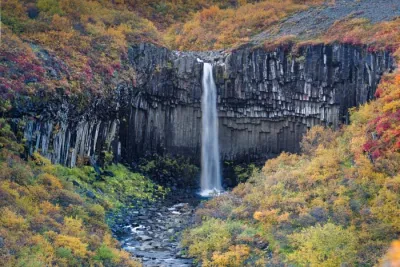
As you climb, you will also have the opportunity to see the majestic Lítanesfoss waterfall framed by basalt columns. This hike is one of the most popular in eastern Iceland and should definitely be included in your itinerary when exploring this region.
Map and elevation profile of the hike
Hengifoss Hike
Difficulties of the hike
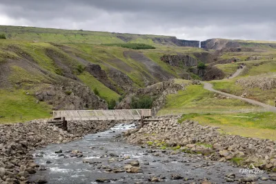
The trail to Hengifoss is easy and accessible to all hikers. The route is well marked.
What you'll love
- The impressive red and black strata of Hengifoss, a veritable geological archive tracing Iceland's volcanic history.
- Discovering Lítanesfoss and its magnificent basalt columns that elegantly frame the waterfall.
Practical information
Best time to go
May to October for optimal conditions. Access can be difficult in winter due to snow and ice.
Photos
See all 11 photos →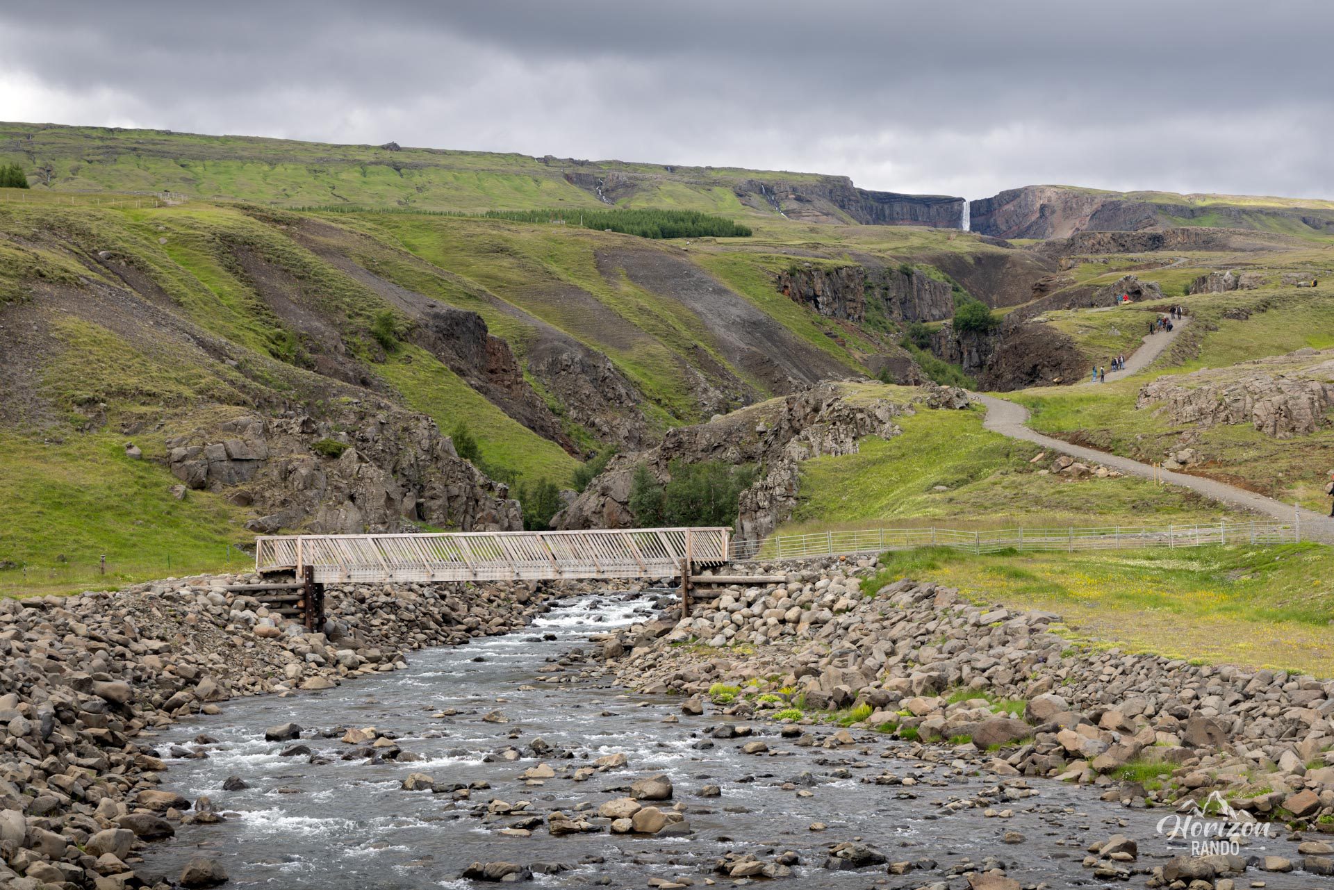
More hikes to do in Iceland
Nearby hikes














Printed from www.horizonrando.fr/en/iceland/hengifoss/