





Drone: Skyggnisvatn lake
The place at a glance
- Type
- Drone spot
- Popularity
- Low
- Region
- Highlands
- Location
- 64.07725, -18.92802
About the place
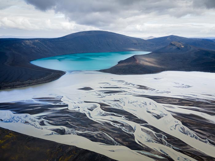
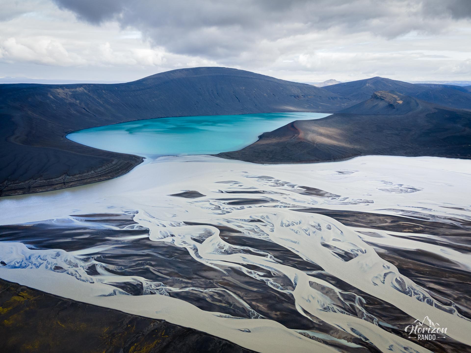
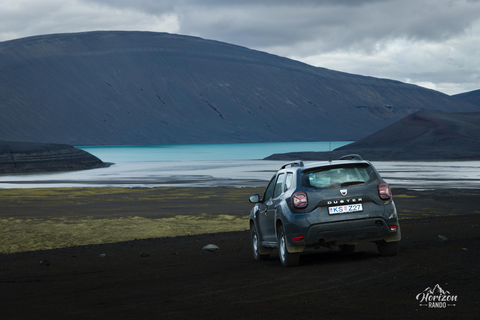
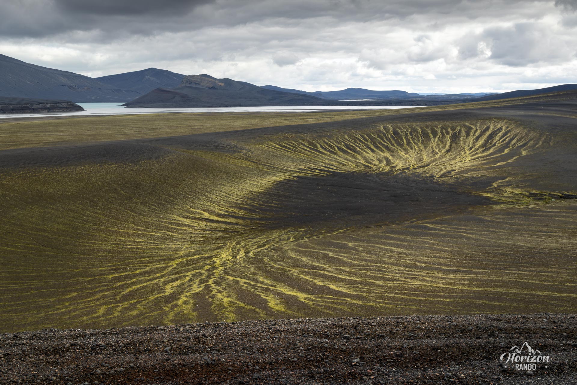
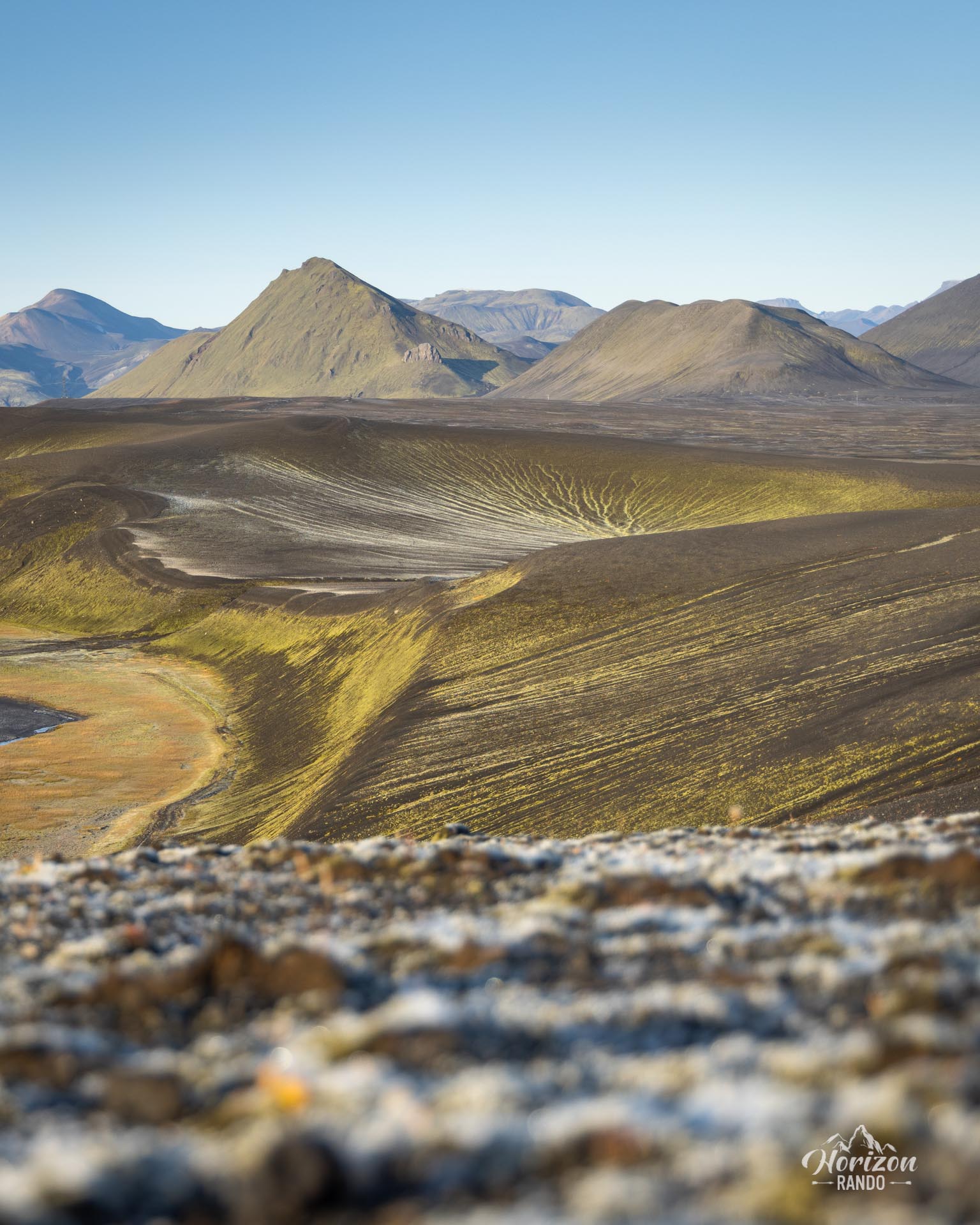
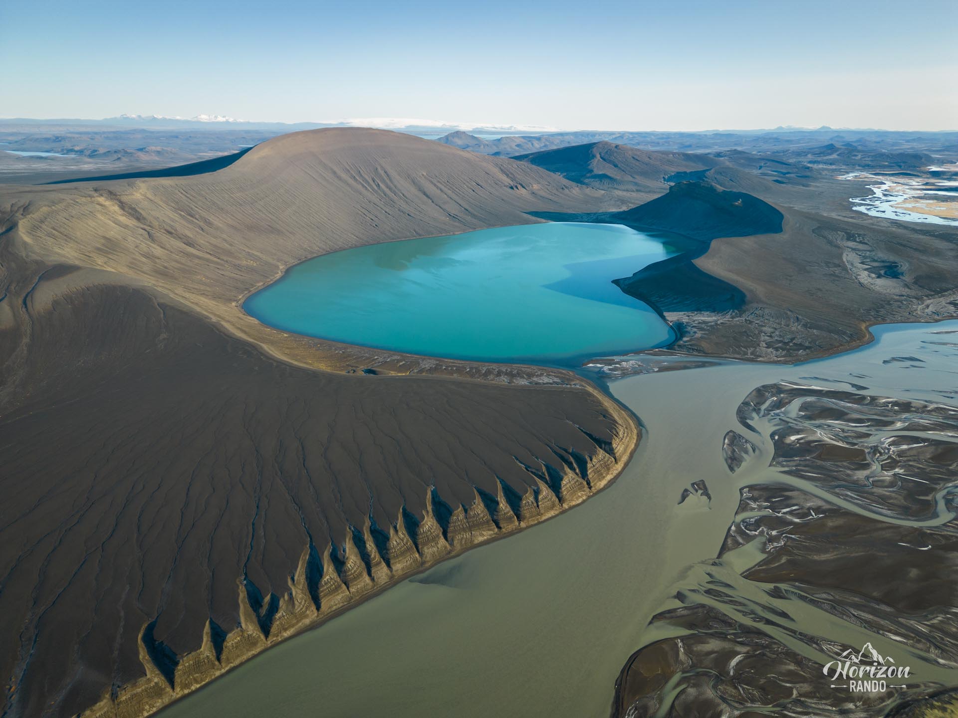
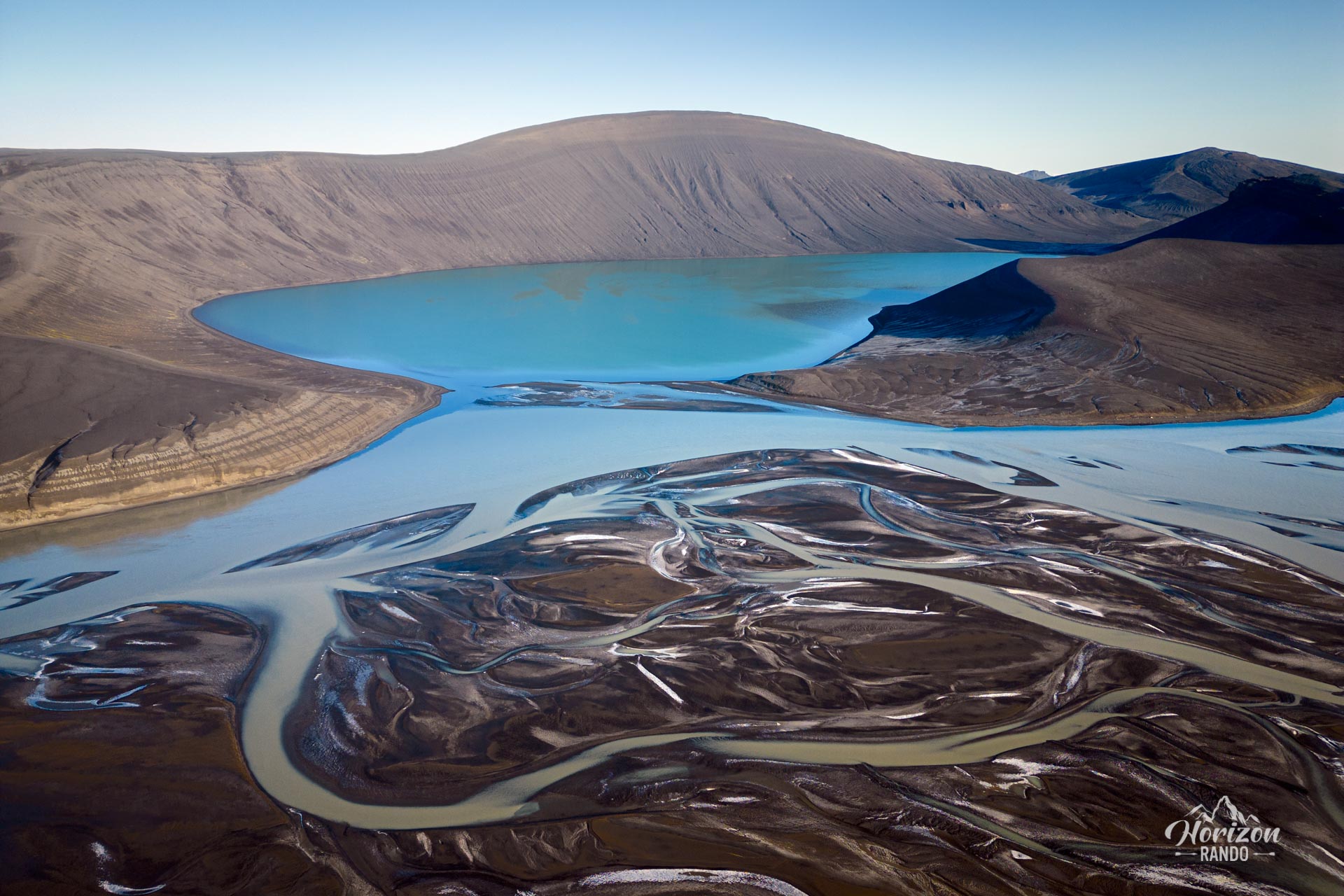
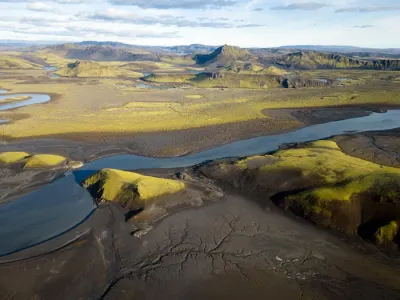
This place is mainly a vantage point for drones, but there are several sights along the way for those who don't own one.
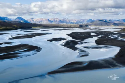
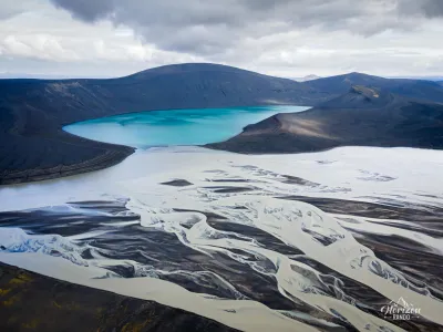
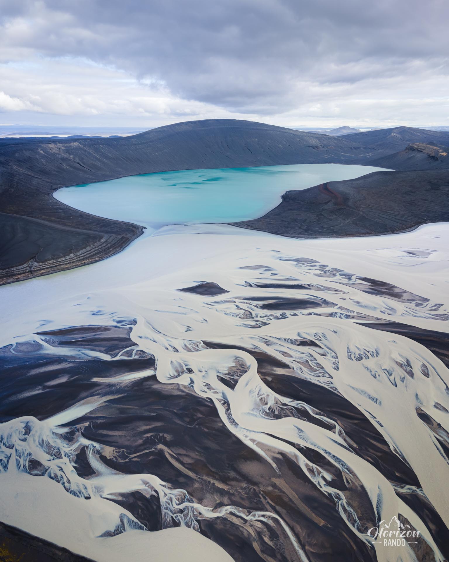
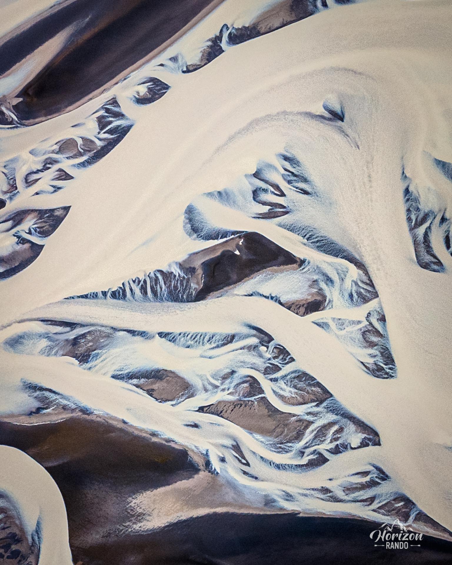
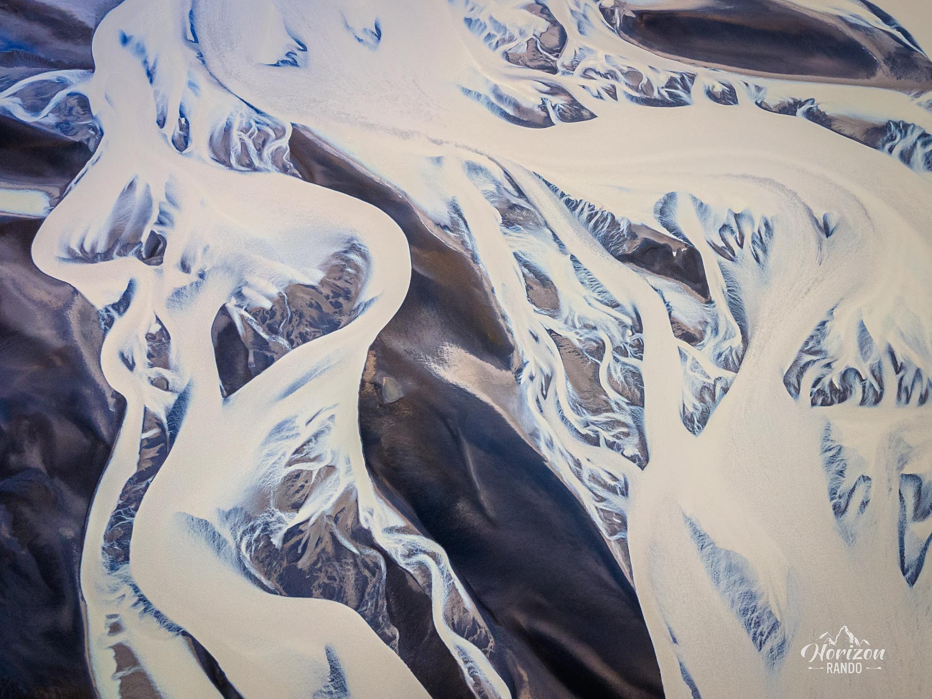
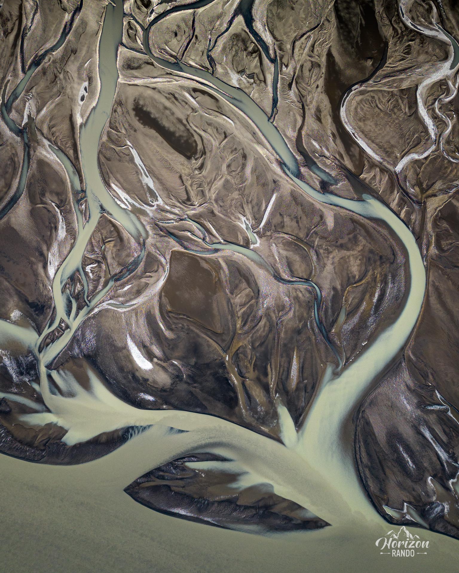
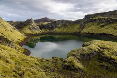
Lake Skyggnisvatn is the most westerly of all the lakes in the region known as Veiðivötn. The Tungnaá River flows freely into the lake, offering a surprising contrast in color.
The place mentioned here is the closest to the lake accessible by road, about one kilometer away.
Practical information
Regulations
Before any flight, check the drone regulations in Iceland (no-fly zones, national parks, maximum height) on island.is.
Access
Accessible only in summer, a 4WD is required. There are three options for reaching this spot:
- Road F208 from the north: the easiest, with no river crossings.
- Road F225: more picturesque, but requiring the crossing of several shallow rivers.
- Road F208 from the south: crossing several moderately deep rivers.
In all cases, you'll then need to take a secondary (unnamed) road towards the Ljótipollur crater and follow it all the way.
Click here for more details on driving in the Highlands.
Photos
See all 12 photos →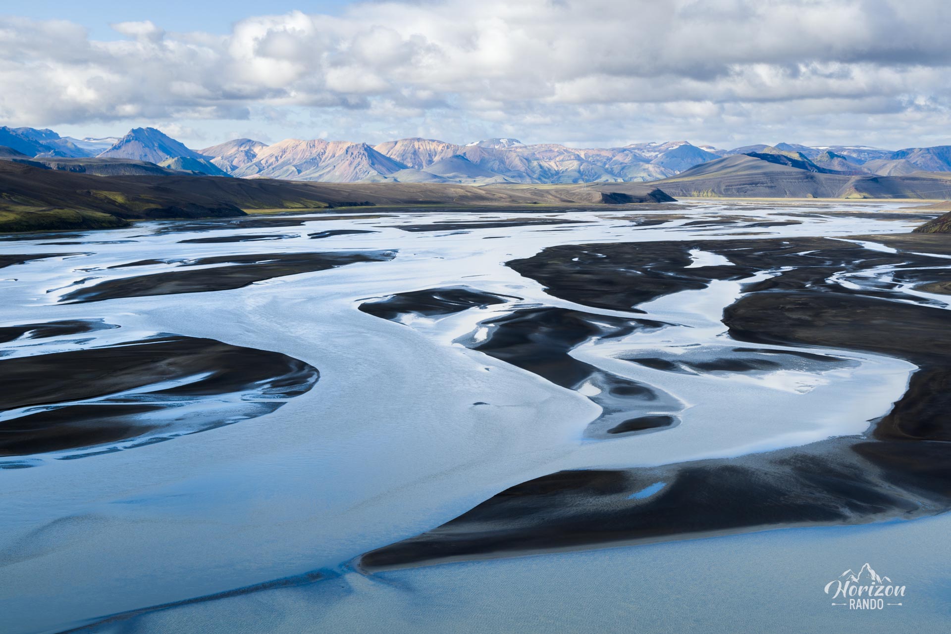
More places to discover nearby
Nearby viewpoints







Printed from www.horizonrando.fr/en/iceland/drone-skyggnisvatn-lake/