





Tjarnargígur crater
The place at a glance
- Type
- Viewpoint
- Popularity
- Low
- Region
- Highlands
- Location
- 64.04165, -18.31330
About the place
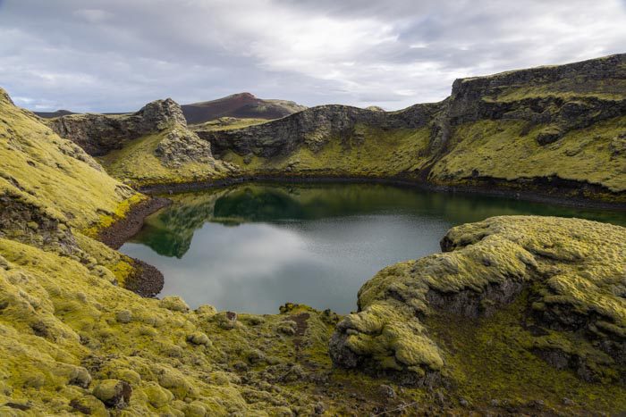
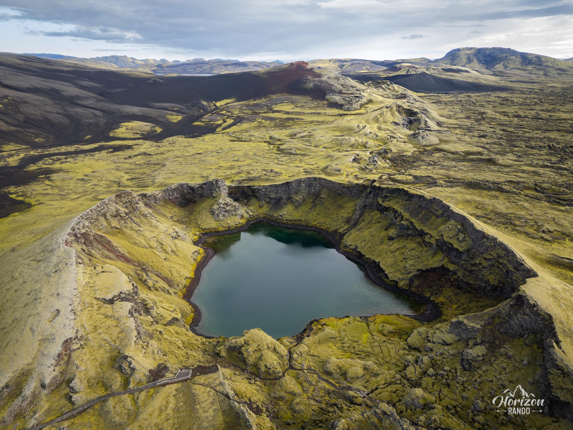
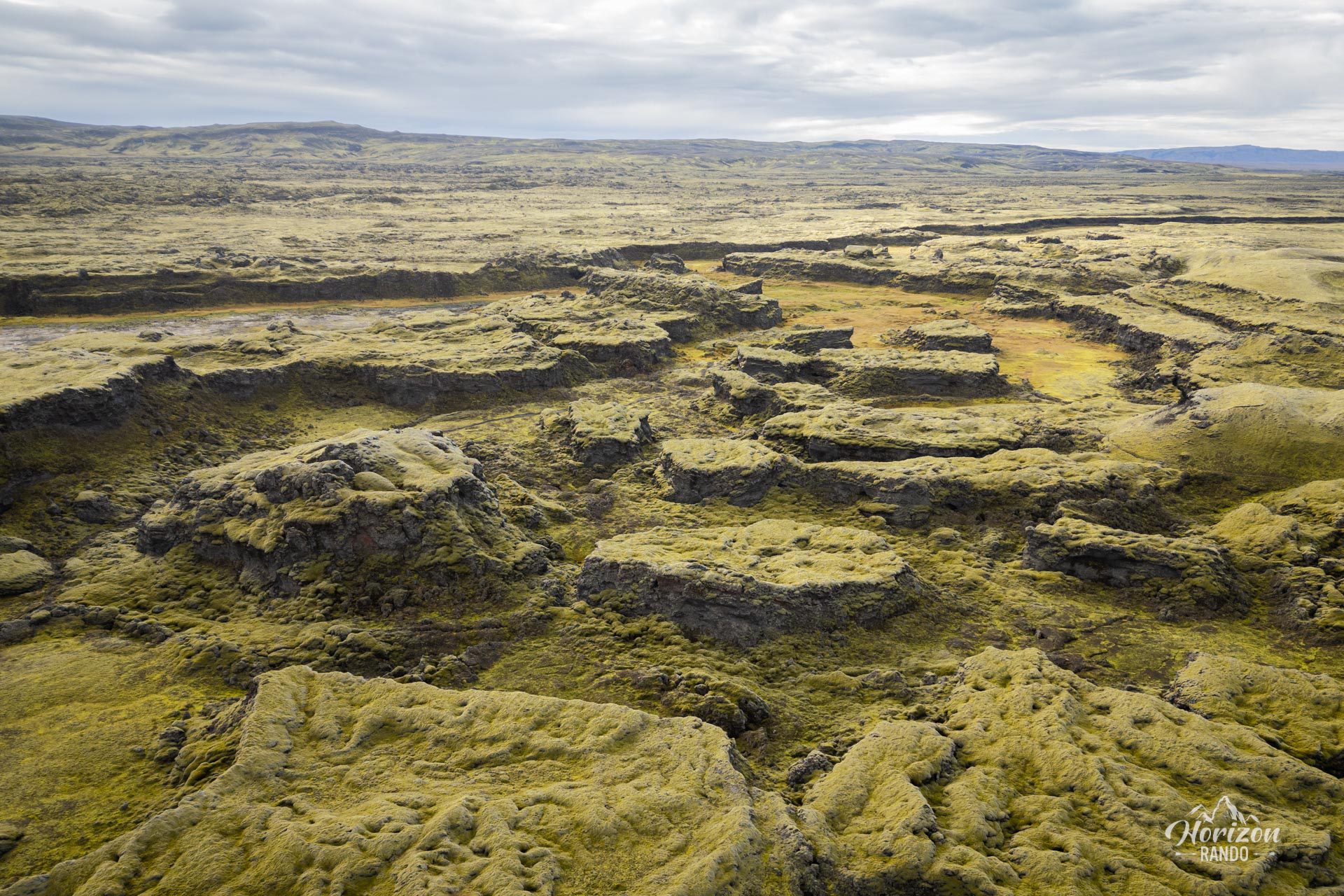
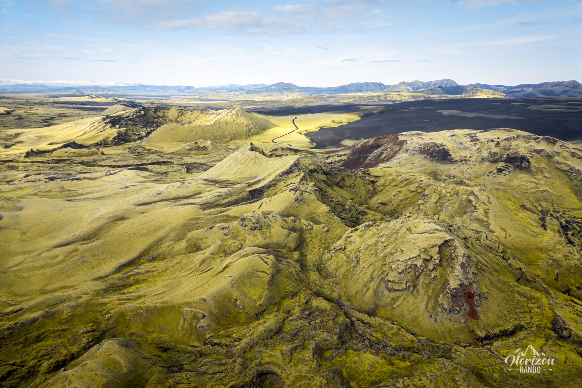
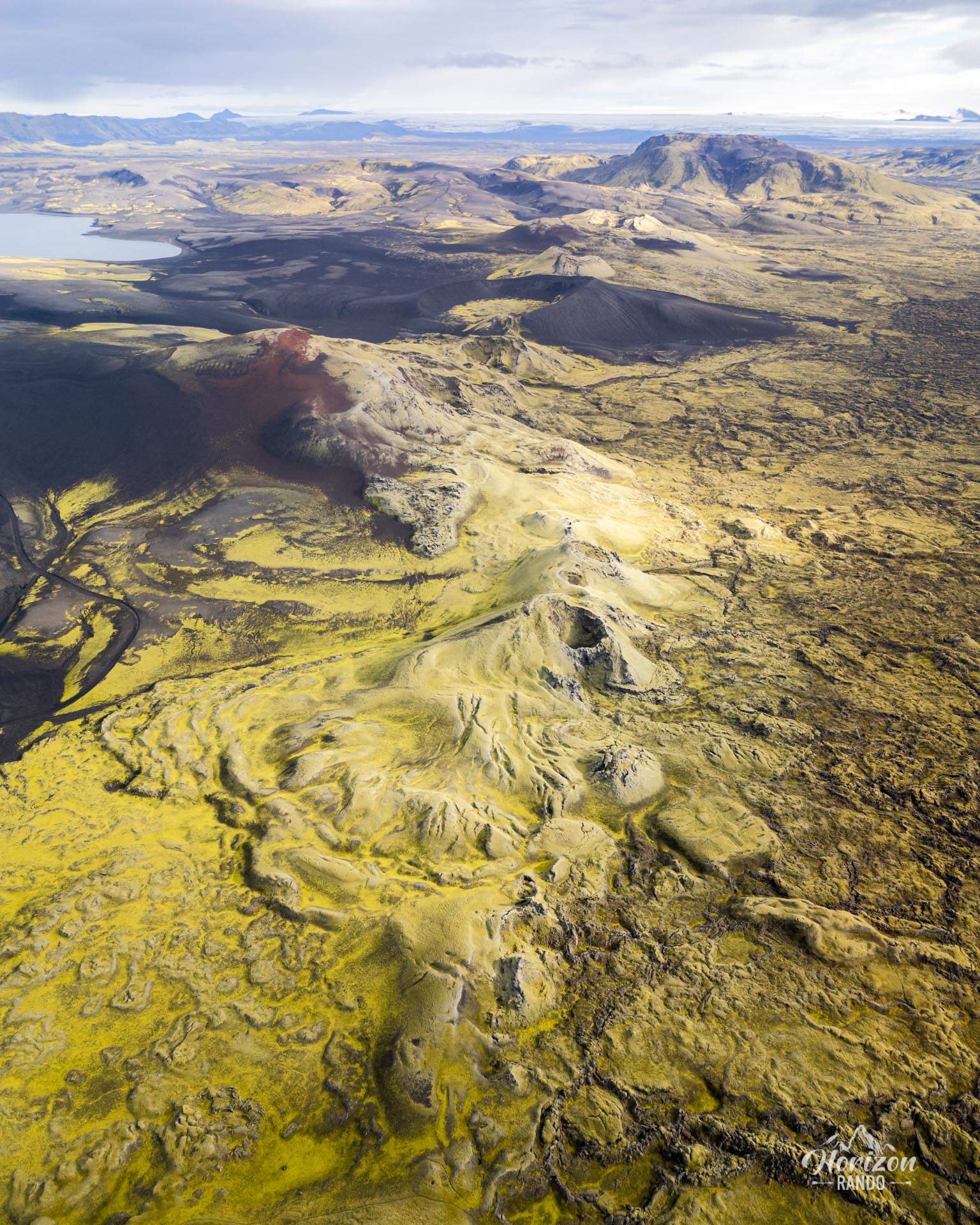
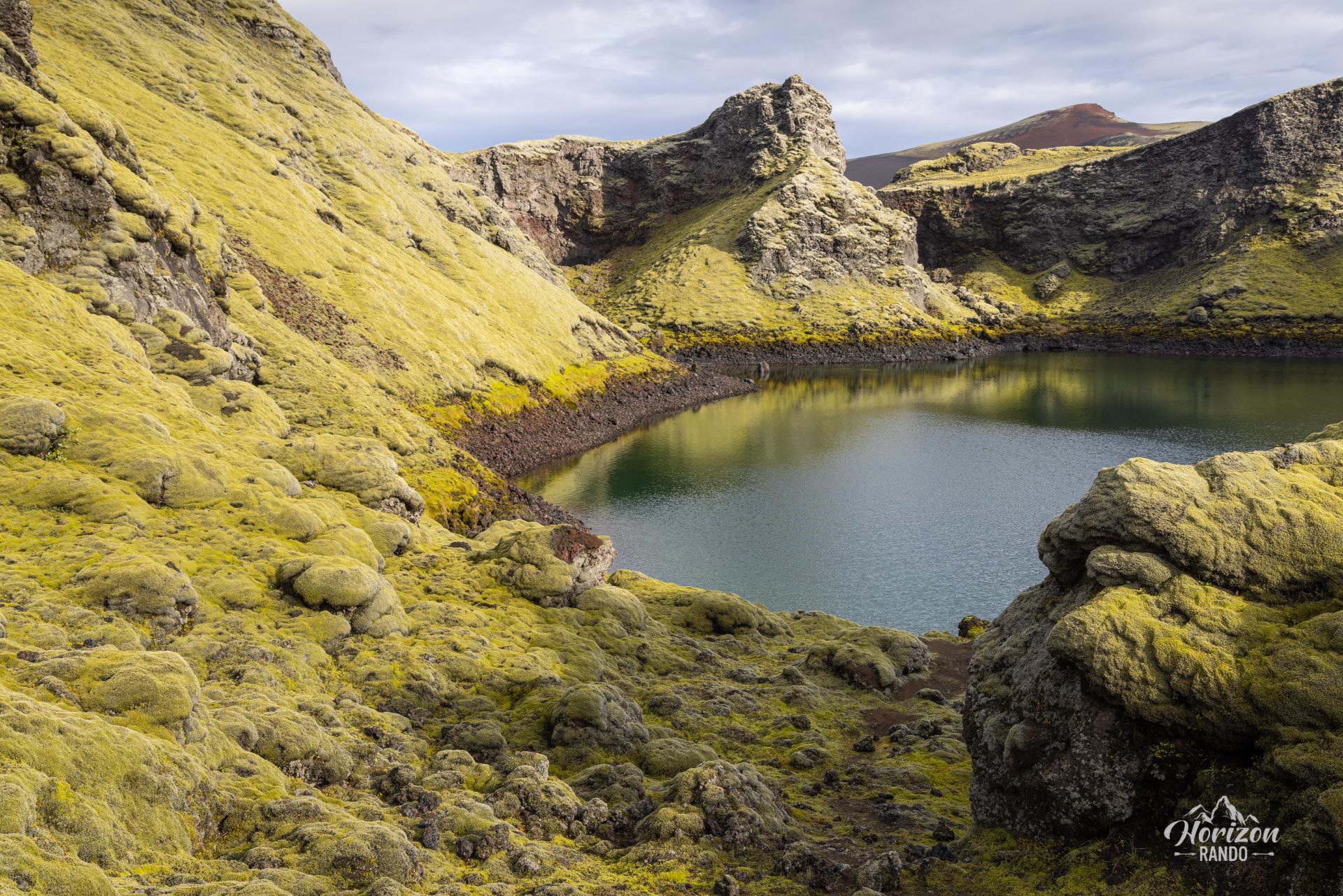
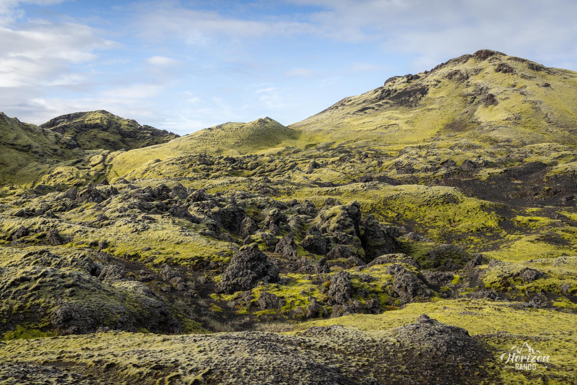
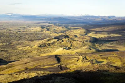
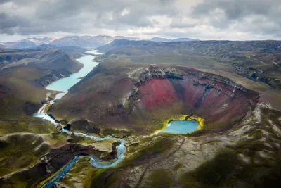
The Tjarnargígur crater is one of 130 craters formed during the titanic eruption of Skaftáreldar between 1783 and 1784. These craters, known as Lakagígar, extend over a distance of around 25 kilometers.
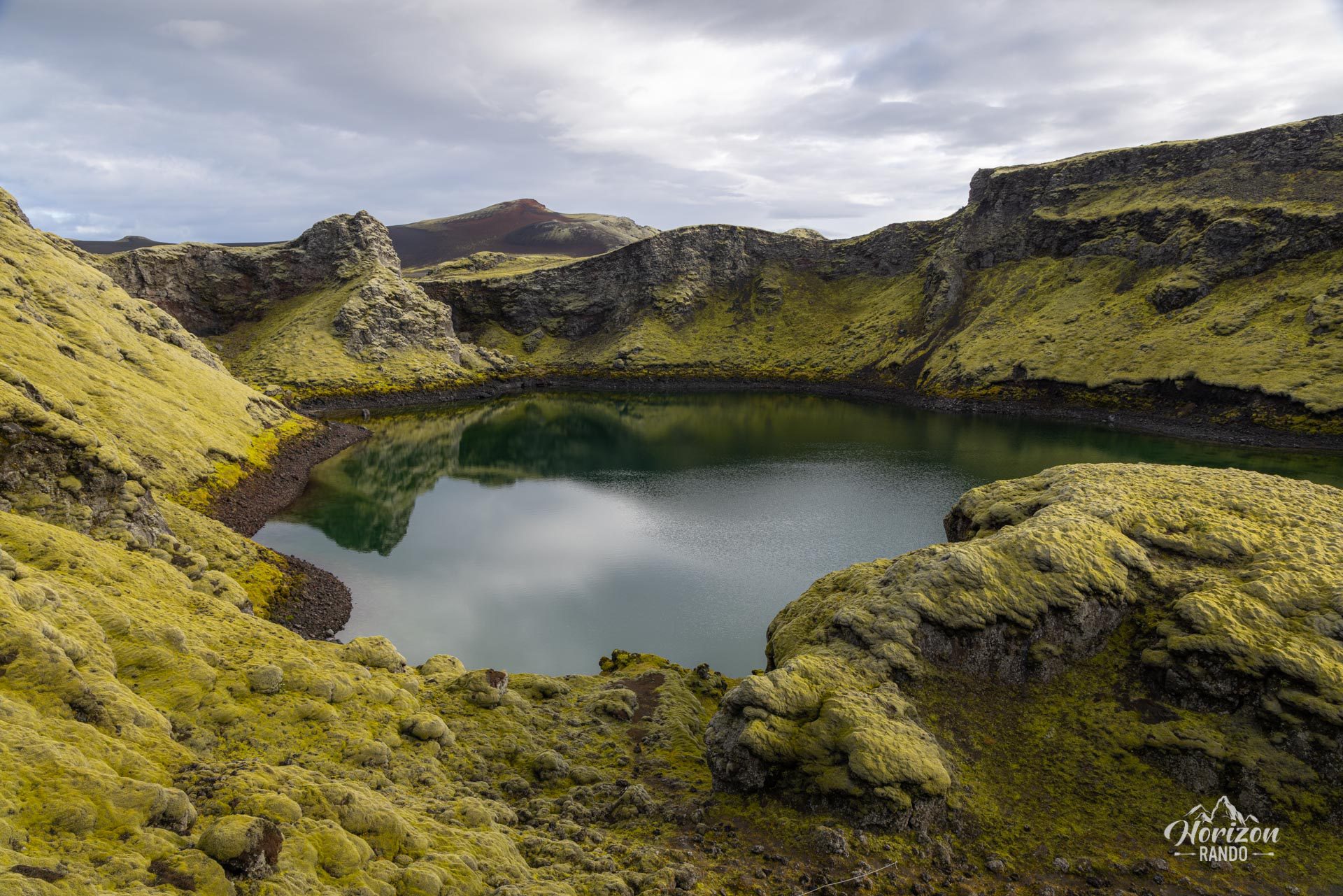
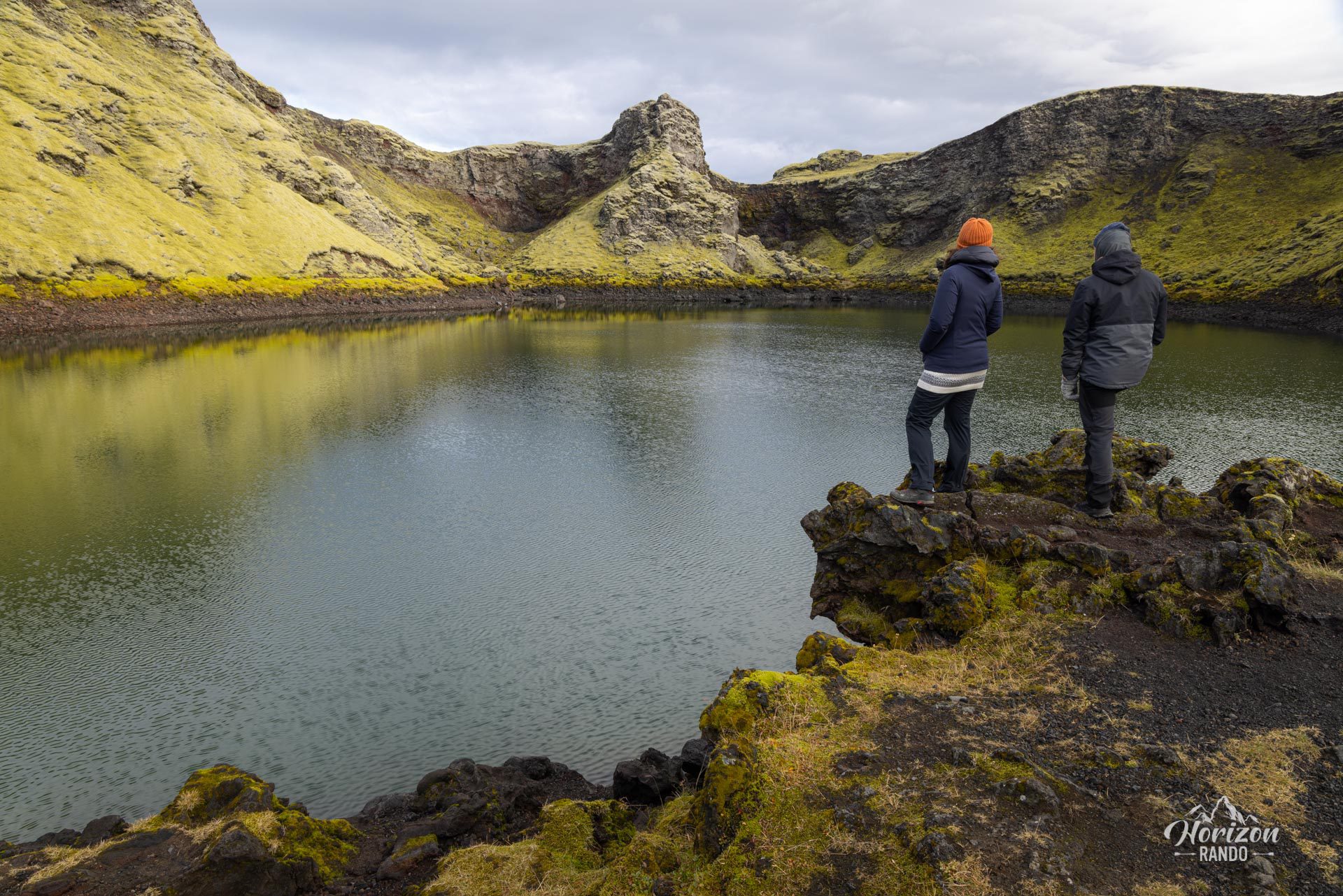
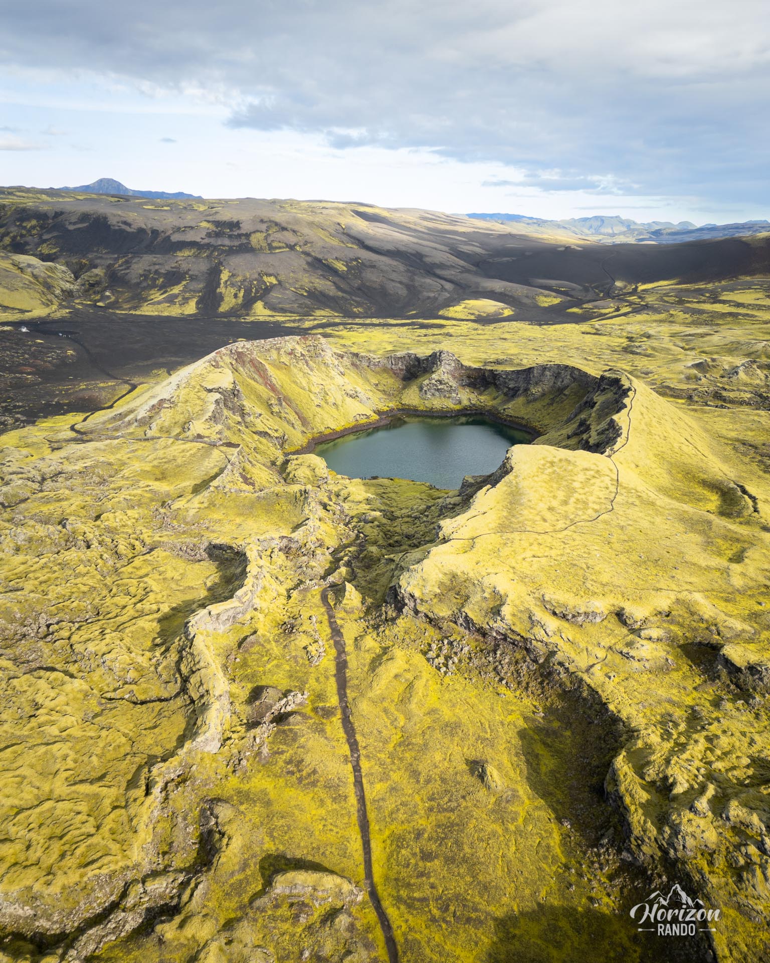
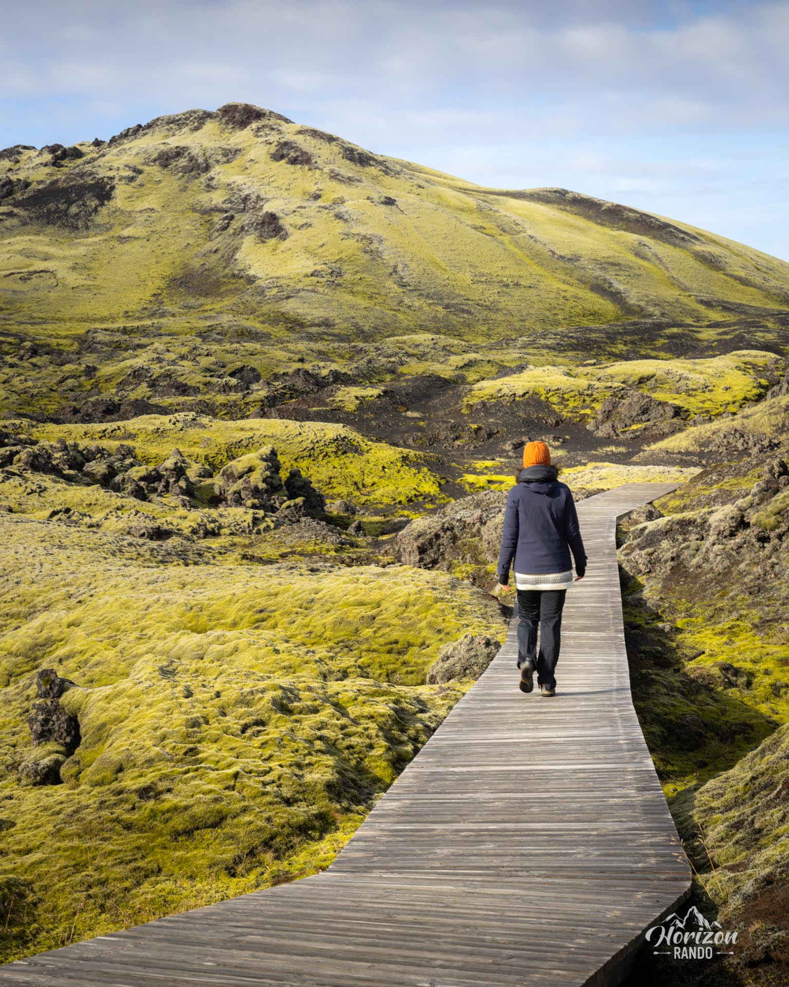
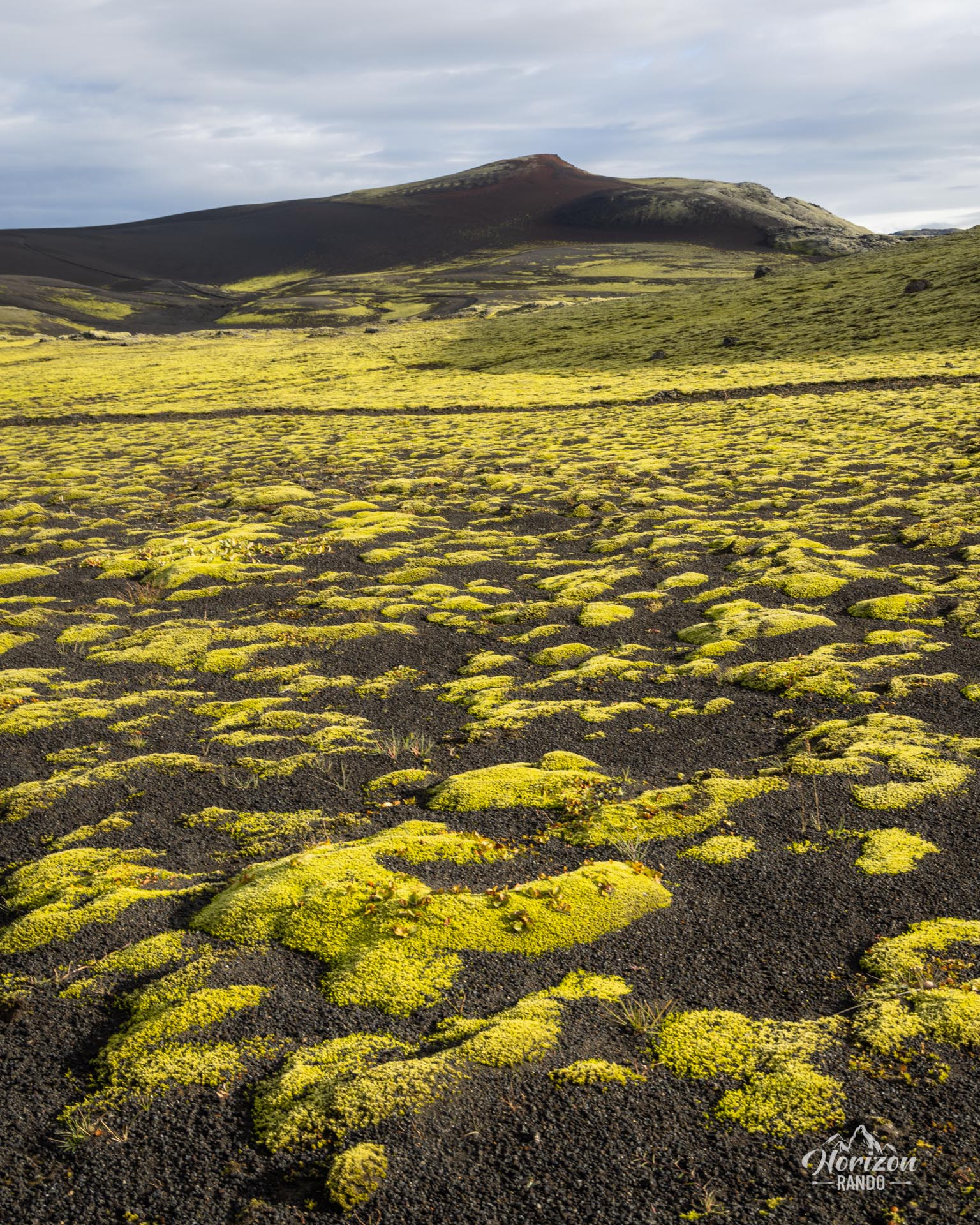
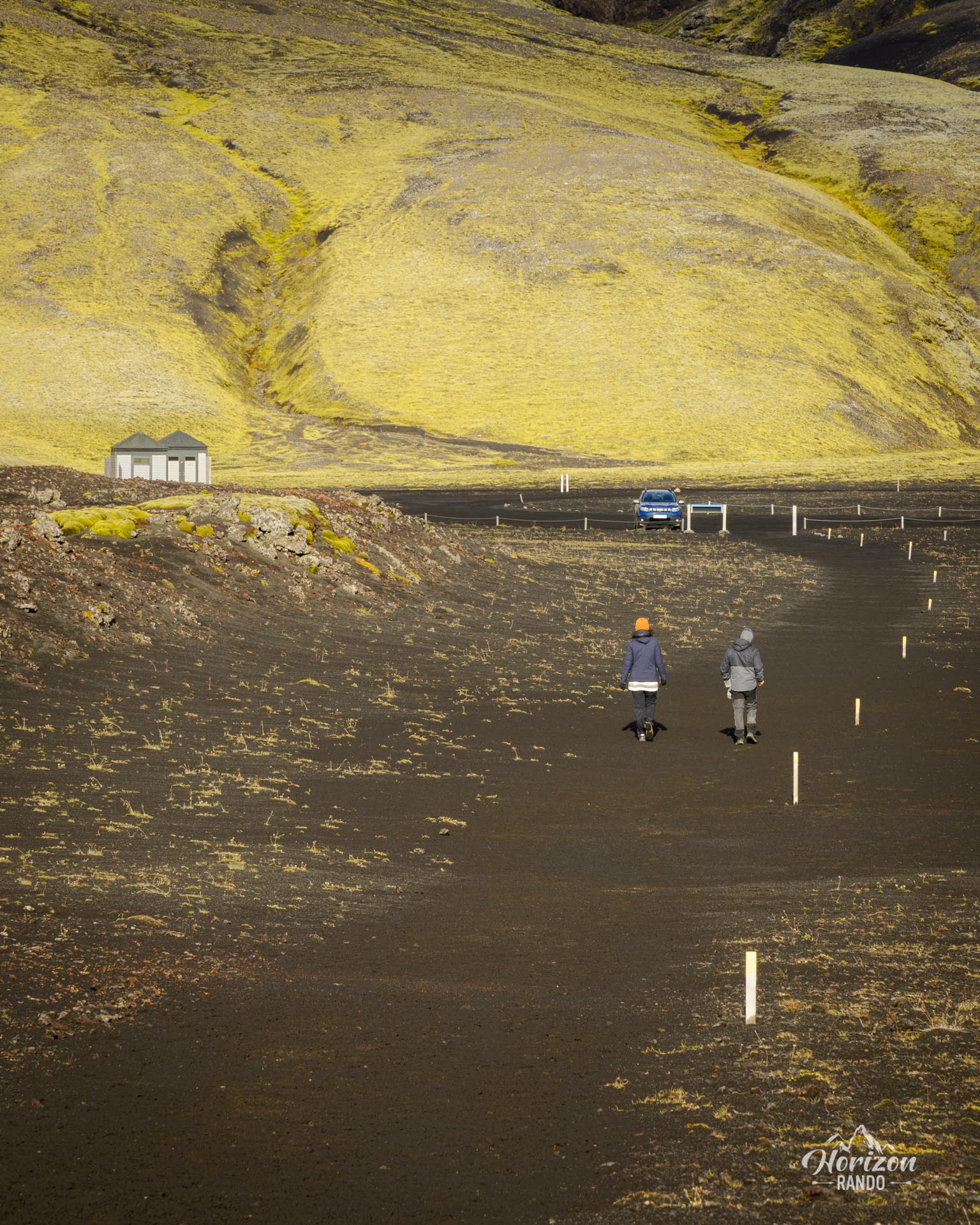
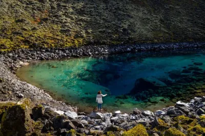
What sets Tjarnargígur apart is the presence of a small lake within the crater itself. The water is crystal-clear, with a splendid turquoise hue that contrasts magnificently with the surrounding yellow moss. Incidentally, the color of this moss depends greatly on humidity: it will be bright yellow after several days of rain, but much duller otherwise. The trail to Tjarnargígur is handicapped-accessible and takes no more than 5 minutes!
Practical information
Access
Accessible only in summer, a 4WD is mandatory. The journey to the Lakagígar craters is a long one, taking around 2 hours from Route 1. You'll need to take the F206 first, then the F207 (which is a one-way circular road), and be prepared to cross several river crossings, two of which are medium-sized.
Click here for more details on driving in the Highlands.
Photos
See all 13 photos →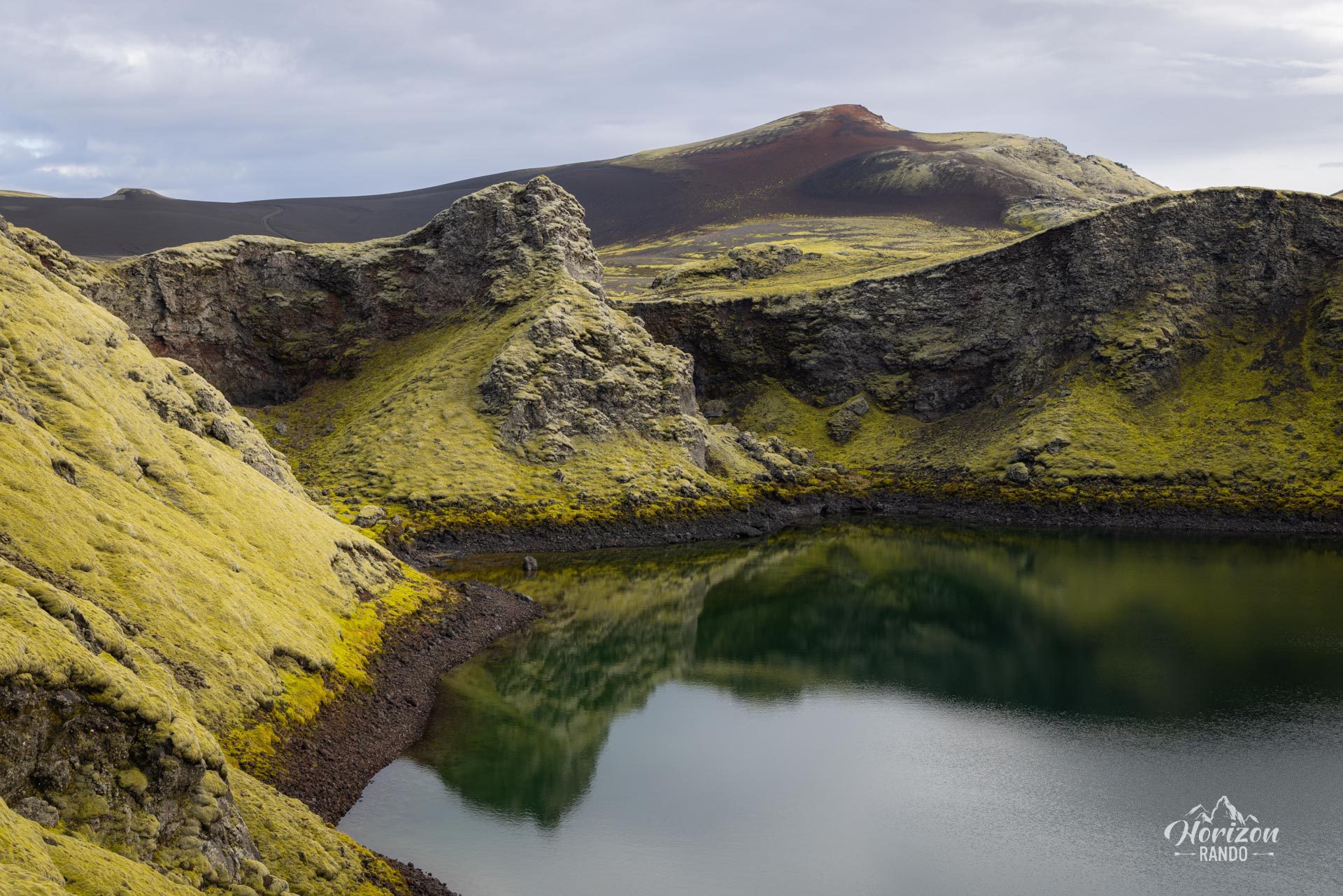
More places to discover nearby
Nearby viewpoints


Printed from www.horizonrando.fr/en/iceland/tjarnargigur-crater/