





Maelifell
The place at a glance
- Type
- Viewpoint
- Popularity
- Low
- Region
- Highlands
- Location
- 63.79599, -18.93217
About the place
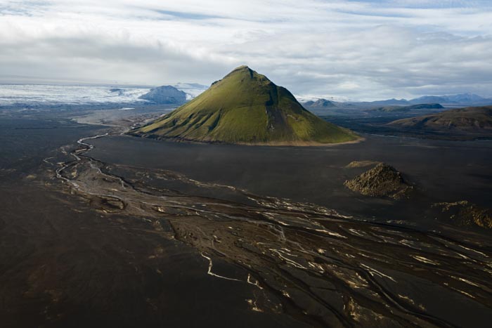
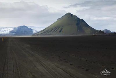
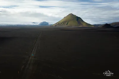
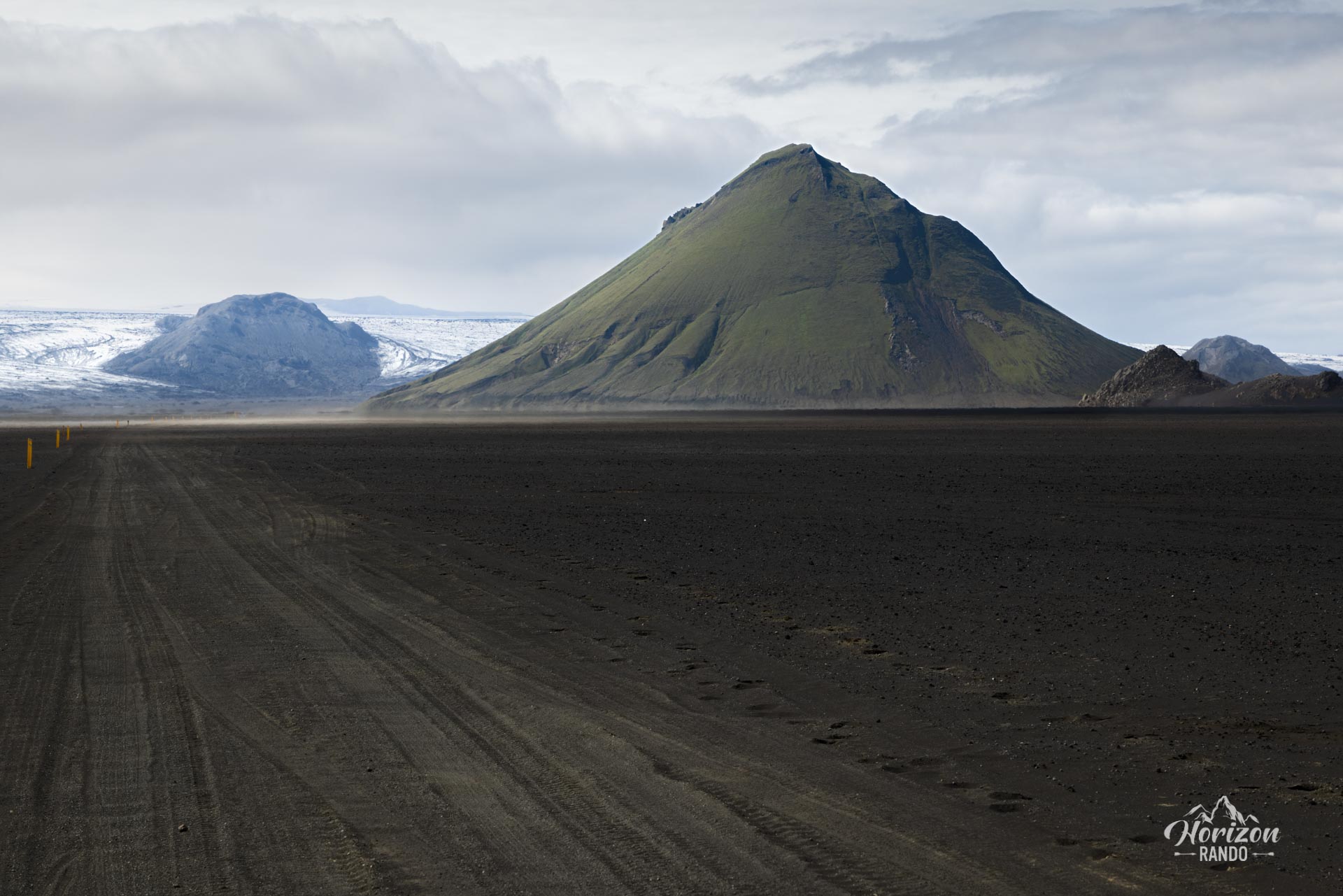
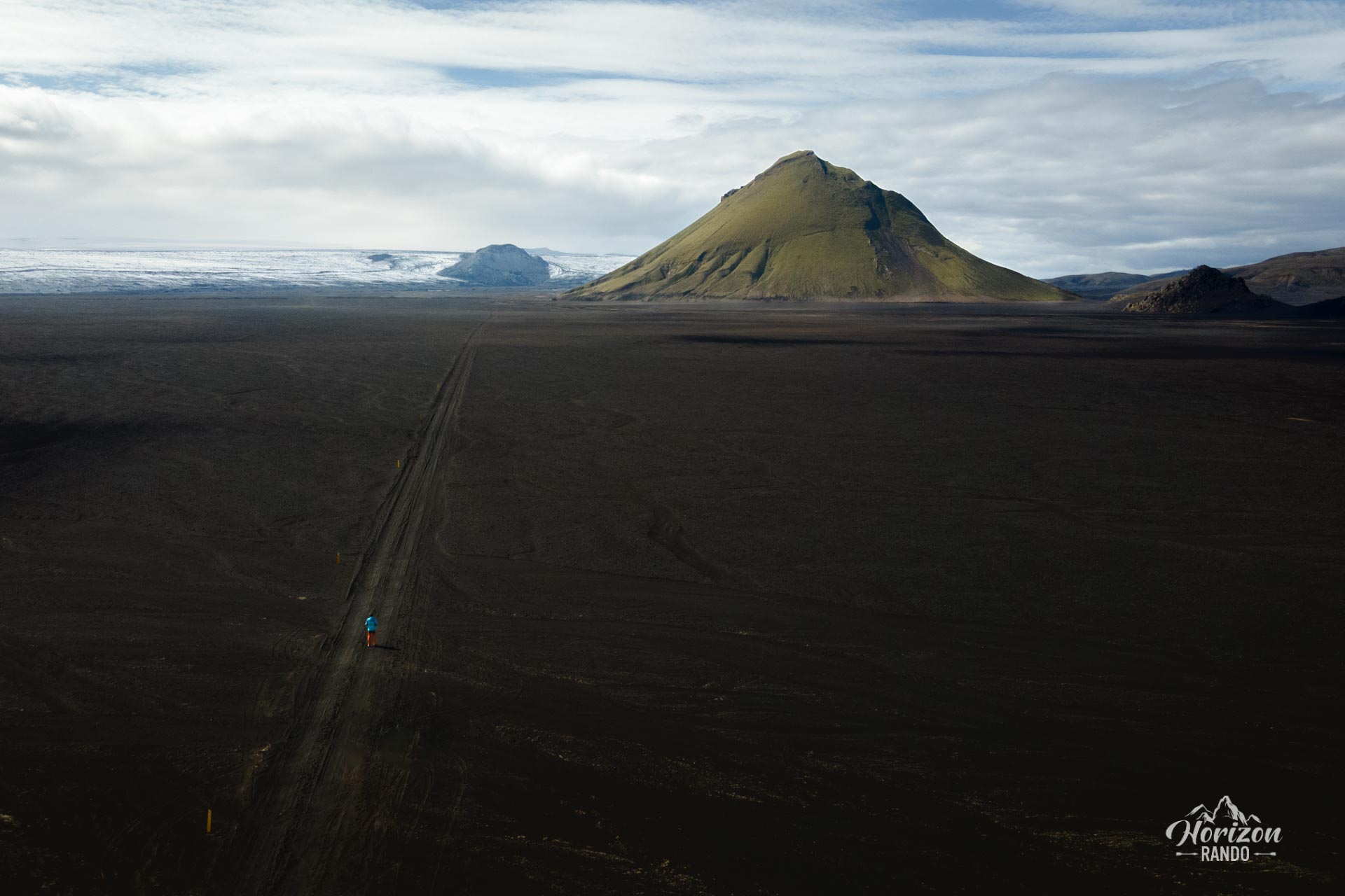
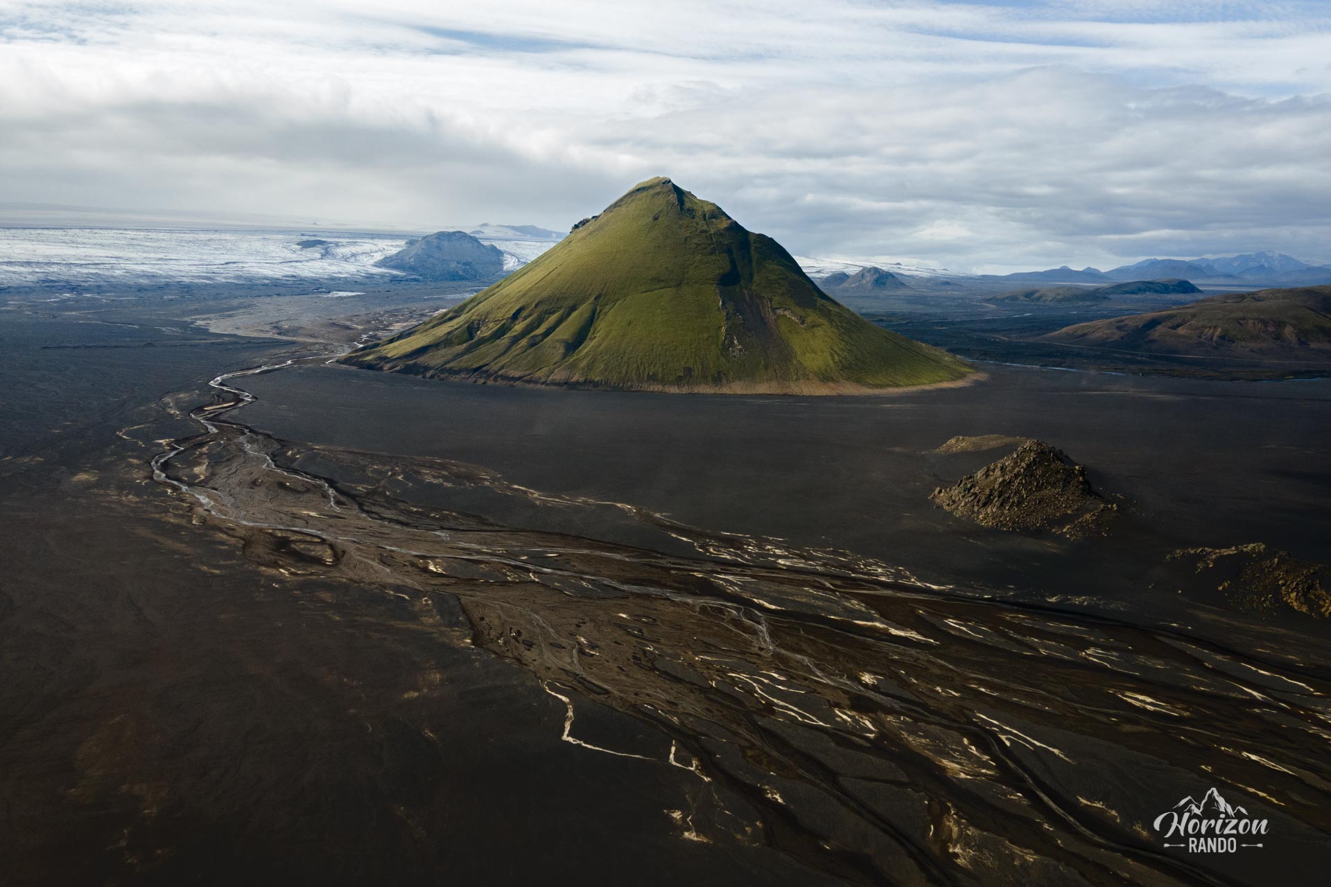
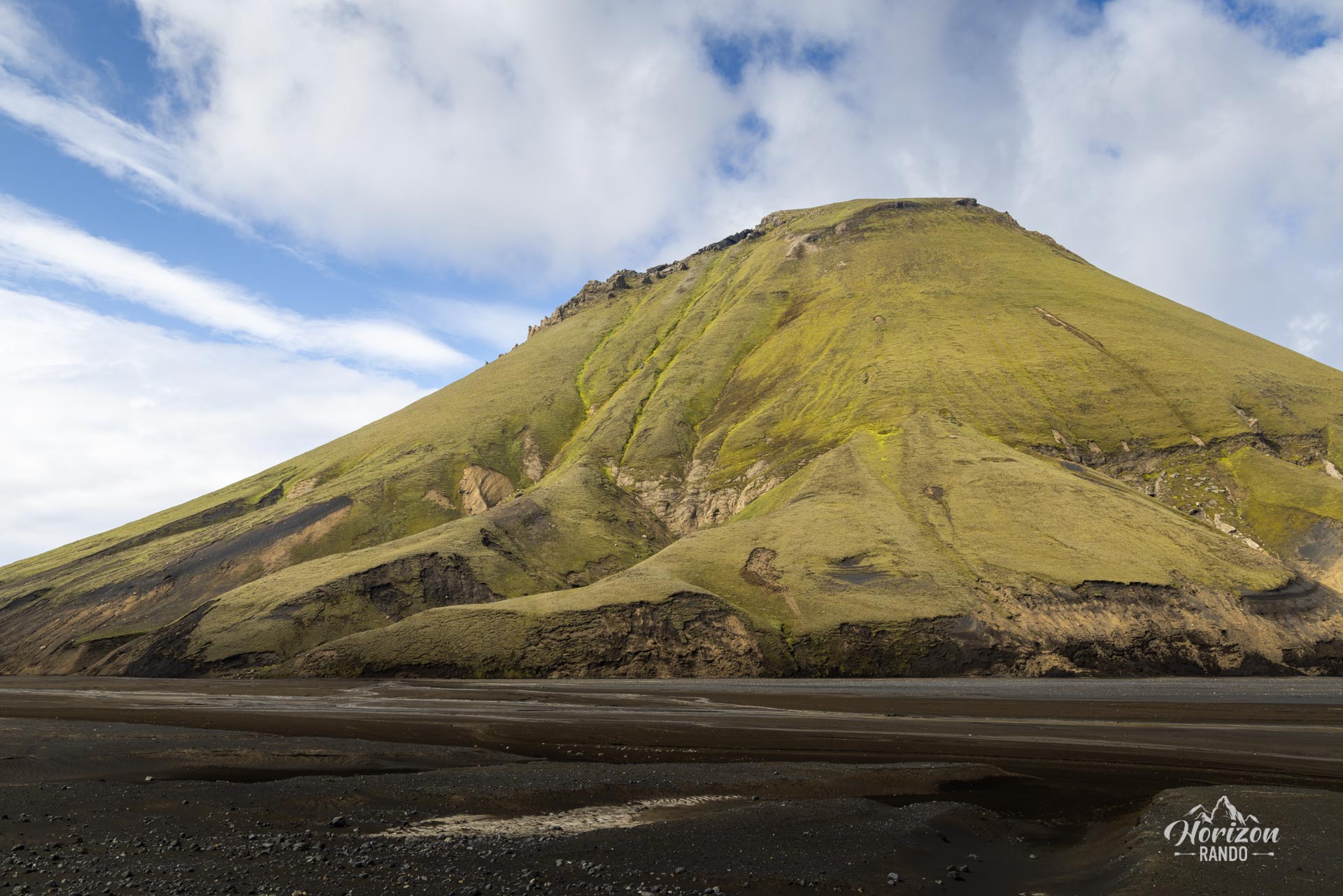
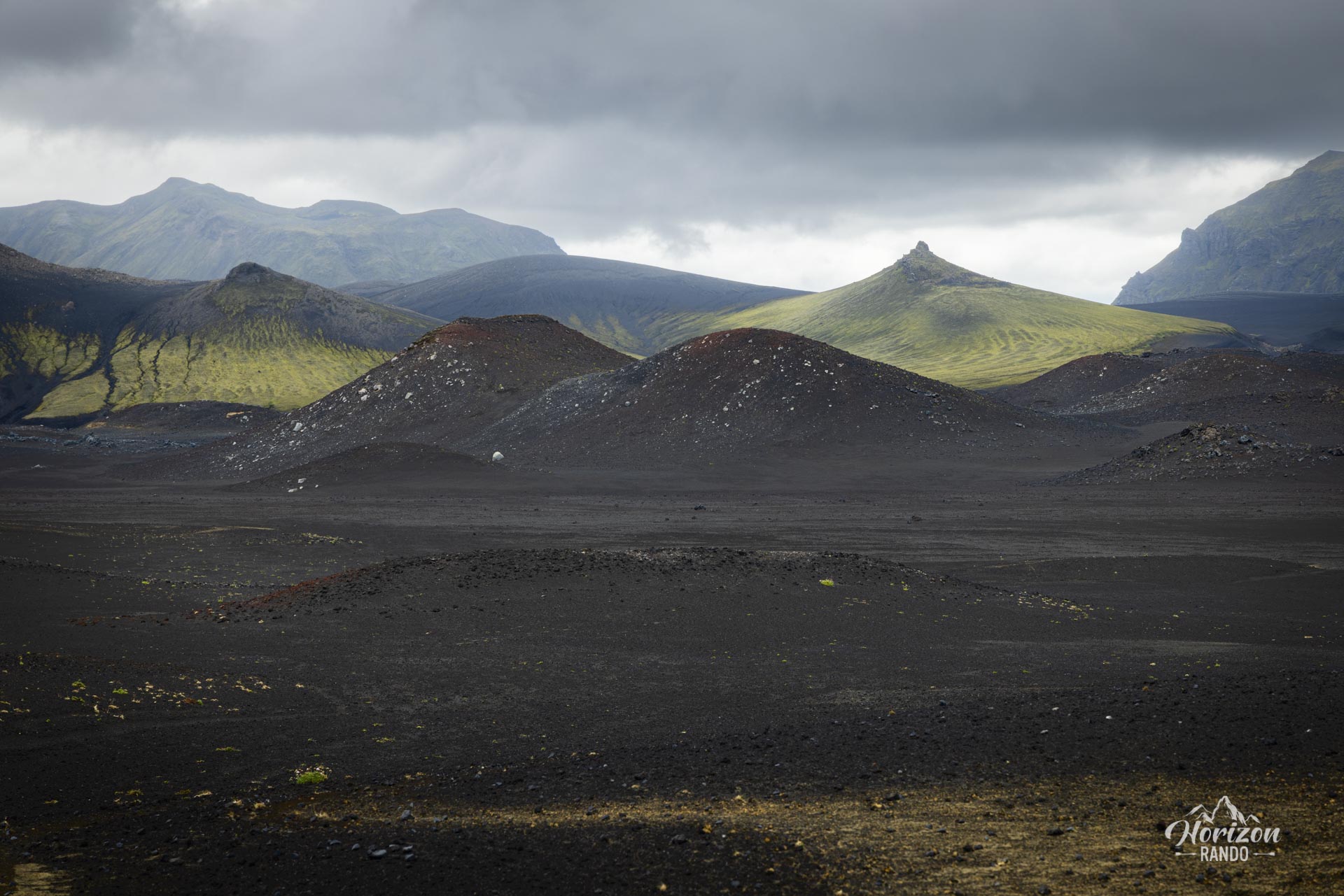
Mælifell, a volcano rising to 791 metres, stands like a solitary giant in the heart of a black sand desert. Once hidden beneath the Mýrdalsjökull glacier, it reappeared at the end of the last Ice Age. Its pyramidal shape, adorned with green moss, offers a striking contrast to the flat, dark desert of Mælifellssandur. An emblematic symbol of the region, the summit of Mælifell has over the years become a must-see for photography enthusiasts.
The year 2023 was marked by low rainfall, drying out the surrounding rivers and making photography less captivating. For the best shots, consider heading north to the summit of Strútur, or use a drone.
Take advantage of your time on the F210 to explore it to the full! This road is often considered one of the most beautiful in the Highlands. Be careful, though, as there are many river crossings. If you're feeling unsure, pull over. One of the deepest crossings, the River Hólmsá, lies a few kilometers to the east, so head west instead!
Practical information
Access
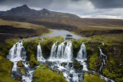
Accessible only in summer, a 4WD is required. The easiest route is to the south, along the F232. This road has only one river crossing, that of the Bláfjallafoss waterfall, of medium depth. The other access routes, to the east or west of the F210, are much more difficult crossings, usually requiring a super jeep.
Click here for more details on driving in the Highlands.
Photos
More places to discover nearby
Nearby viewpoints





Printed from www.horizonrando.fr/en/iceland/maelifell/