





Innerdalstårnet Hike
Key facts about the hike
- Difficulty
- Very hard Hikes are rated from very easy to very hard: my difficulty scale
- Duration
- 7h30 Estimated time, short breaks included (photos, water, snacks), picnic not included: how it is calculated
- Distance
- 17.4km
- out and back
- Elevation gain
- 1,470m
- Type of route
- Out and back
- Maximum altitude
- 1,453 m
- Vertiginous Five levels, depending on how exposed the route is: the levels in detail
- Highly
- Marked
- No
- Popularity
- Moderate
- County
- Møre og Romsdal
- Start point
- 62.73807, 8.71070
- Activity
- Hiking
Hike overview
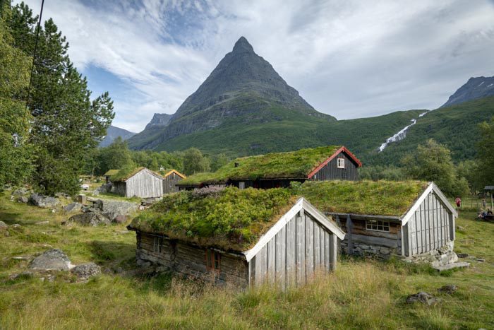
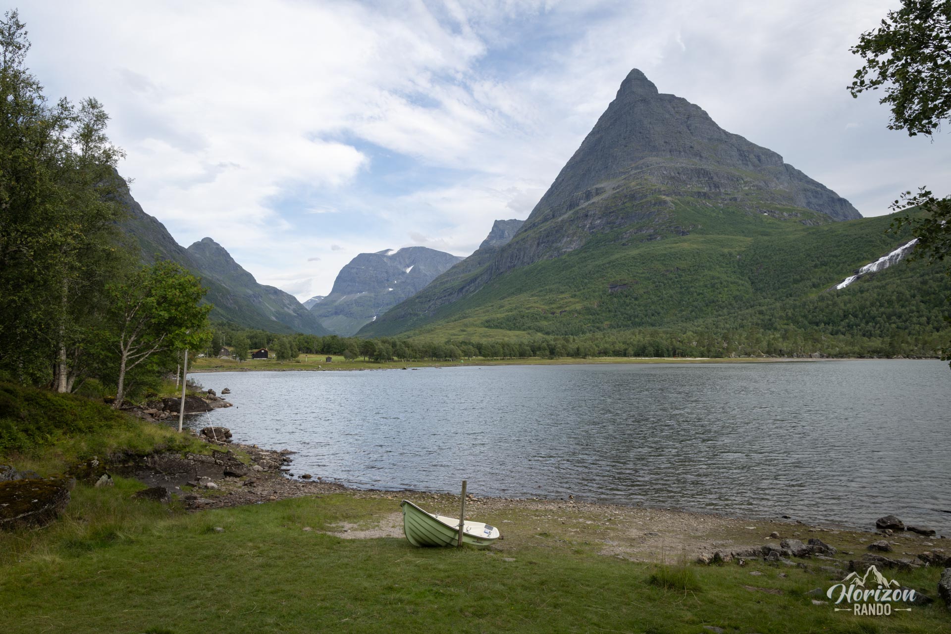
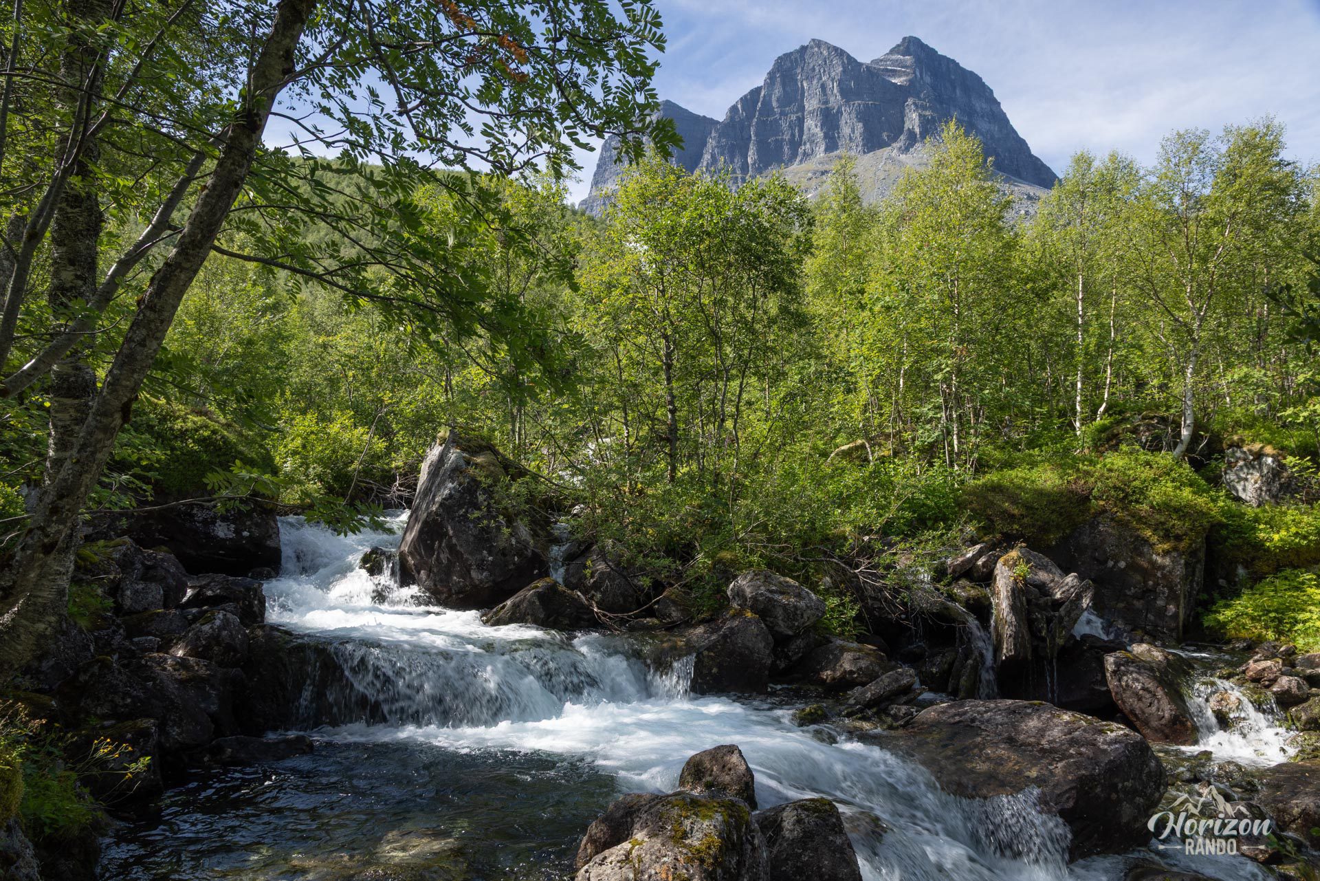
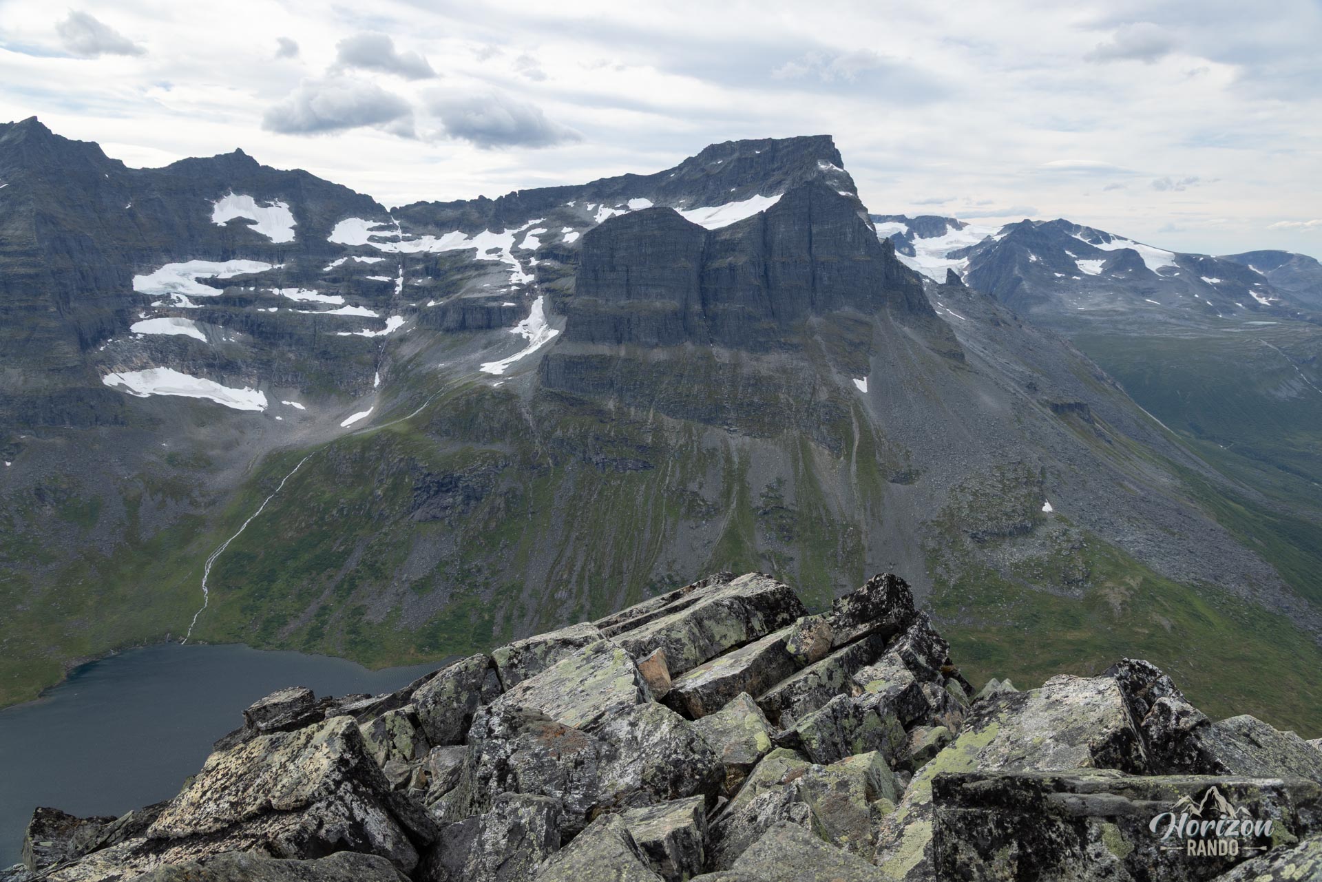
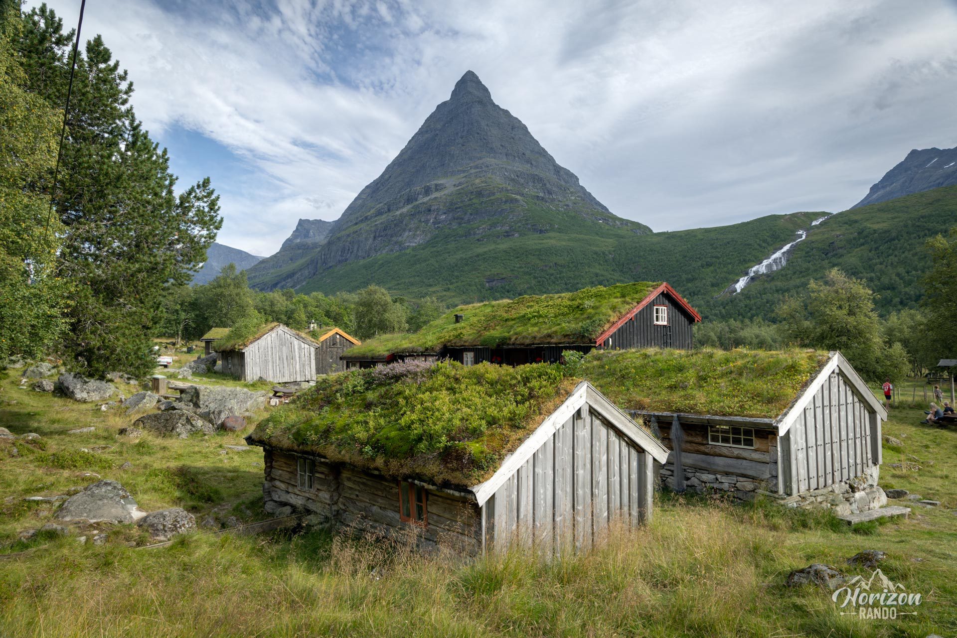
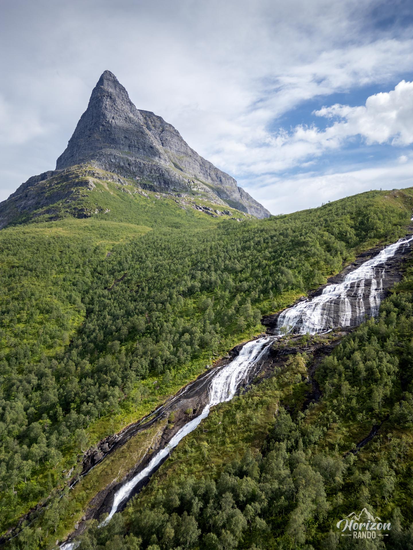
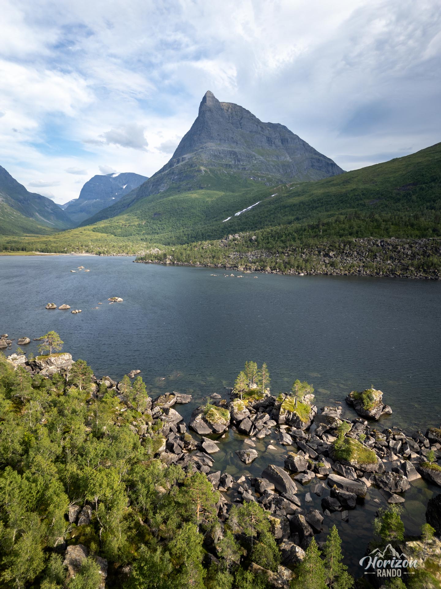
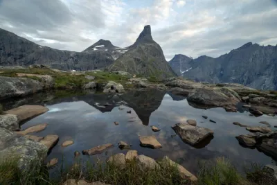
The Innerdalstårnet (1,452 m), often nicknamed the “Matterhorn of Norway” due to its pyramid shape, is an iconic peak in the heart of the Innerdalen Valley, widely considered the most beautiful in the country. While access to the valley is a pleasant walk, the climb to the summit is a challenging alpine hike reserved for experienced mountaineers. However, the intense effort is magnificently rewarded with a spectacular 360° panorama of the Trollheimen peaks from the summit.
Map and elevation profile of the hike
Innerdalstårnet Hike
Description and difficulties of the hike
The climb up Innerdalstårnet is classified as very difficult, both in terms of technical difficulty and the physical effort required. The 17.4-kilometer round-trip route has an elevation gain of approximately 1,500 meters.
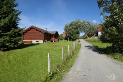
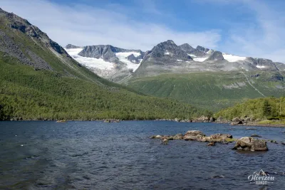
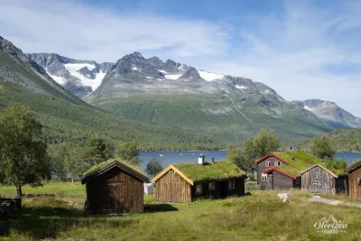
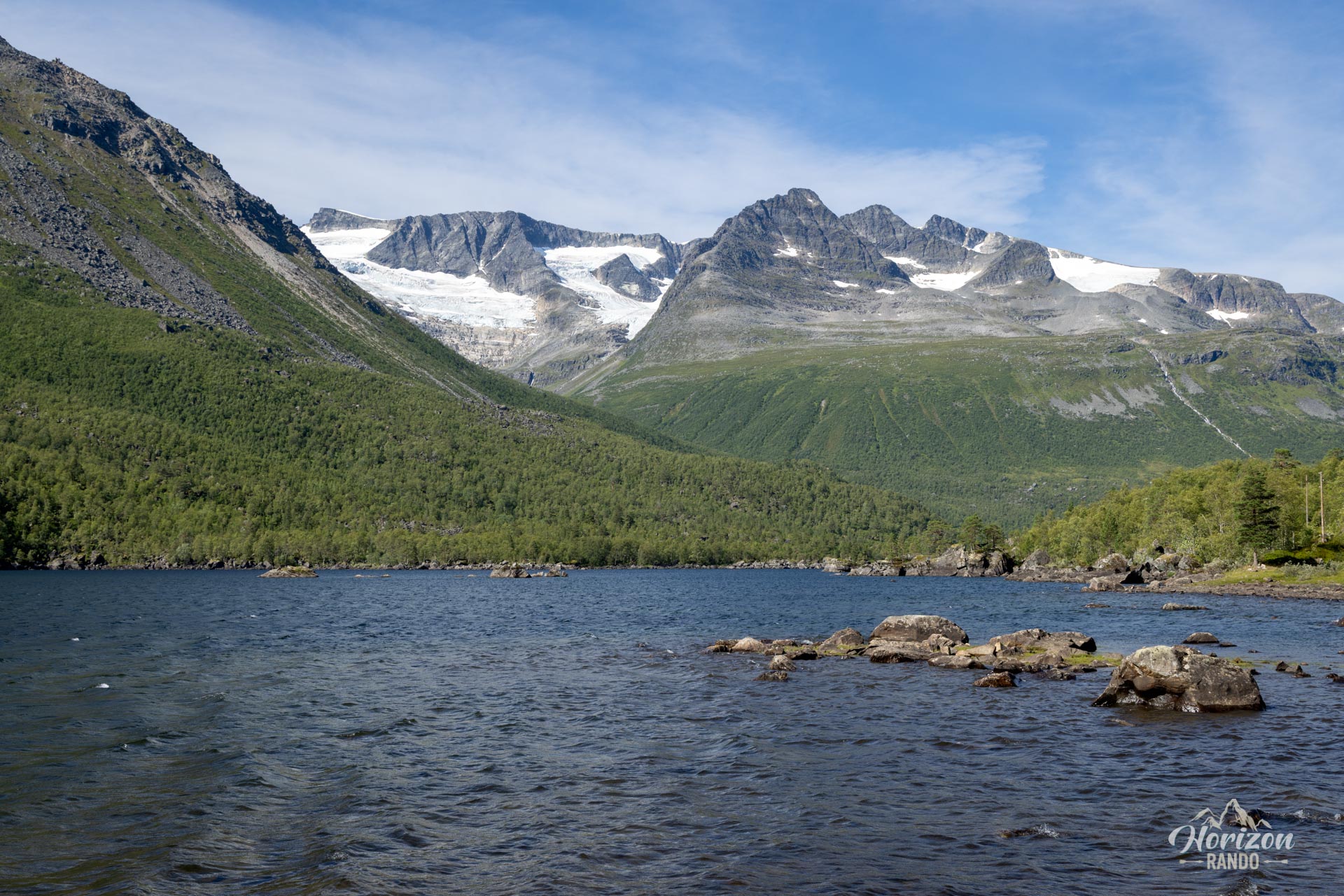
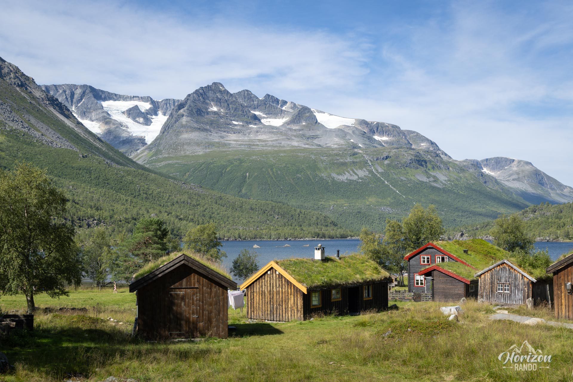
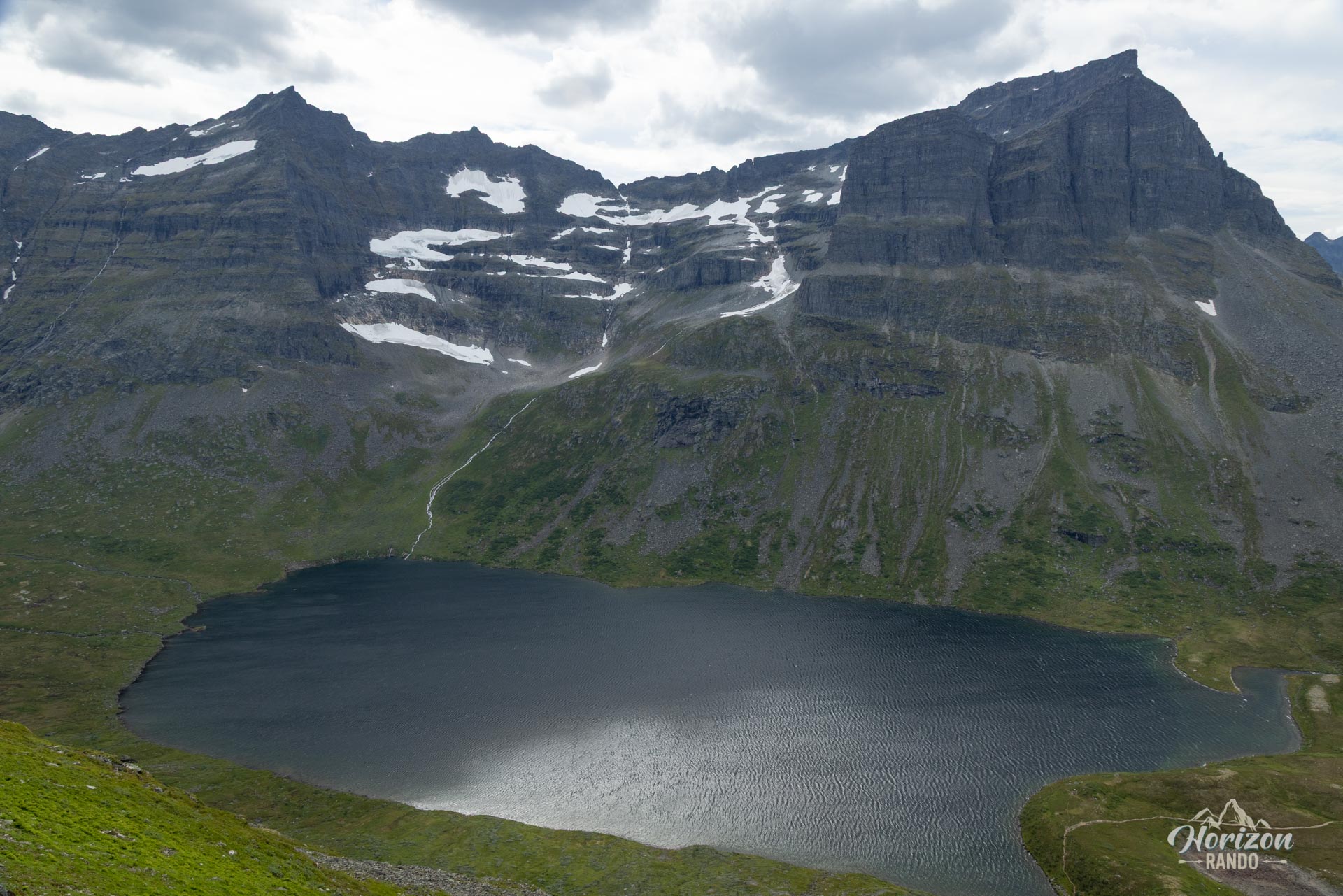
The first part of the route follows a wide gravel track leading to the charming farms and huts of Renndølsetra and Innerdalshytta (approx. 4 kilometers), which is ideal for a gradual warm-up. The trail then climbs gently to Lake Storvatnet, providing an enjoyable transition before tackling the real challenges.
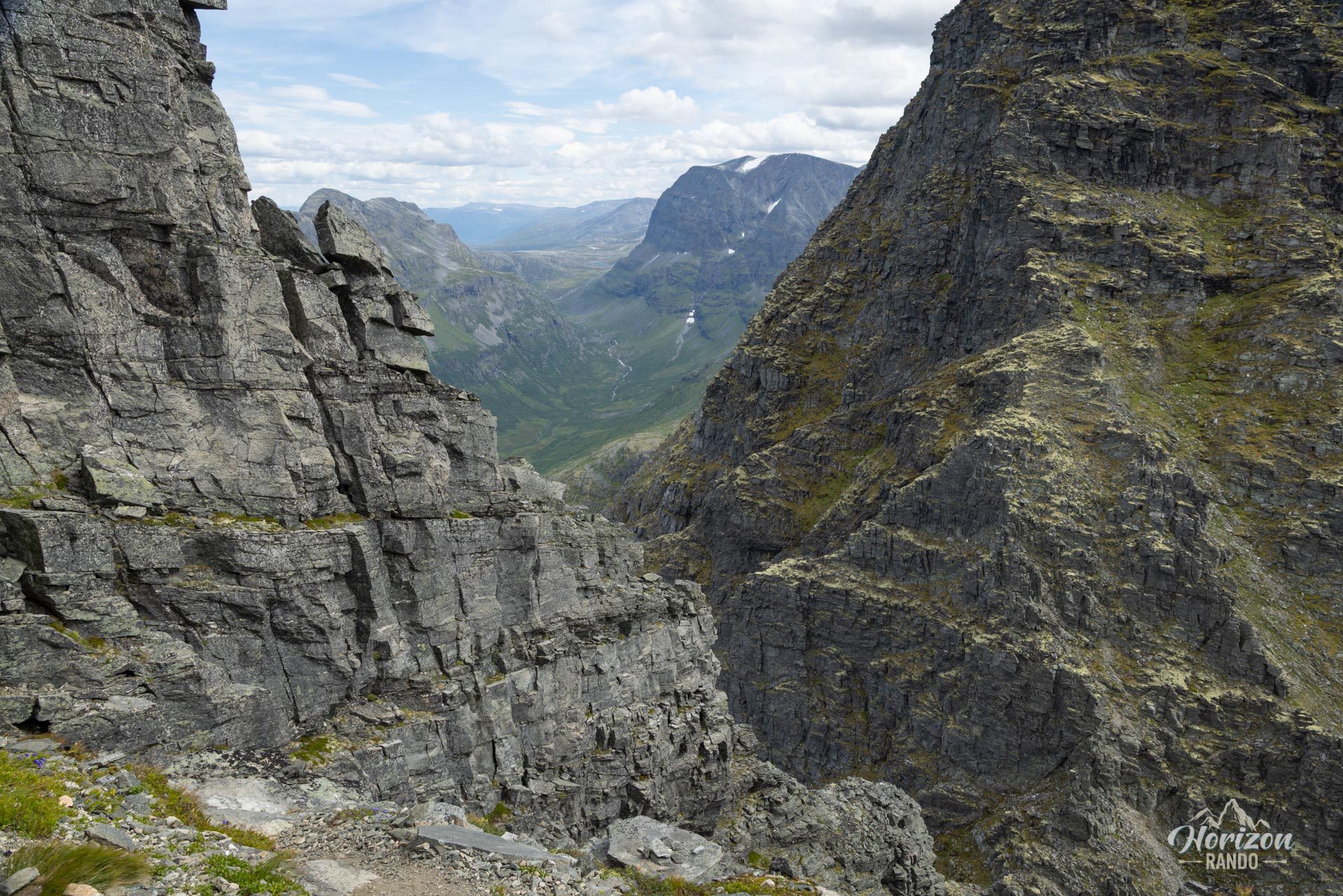
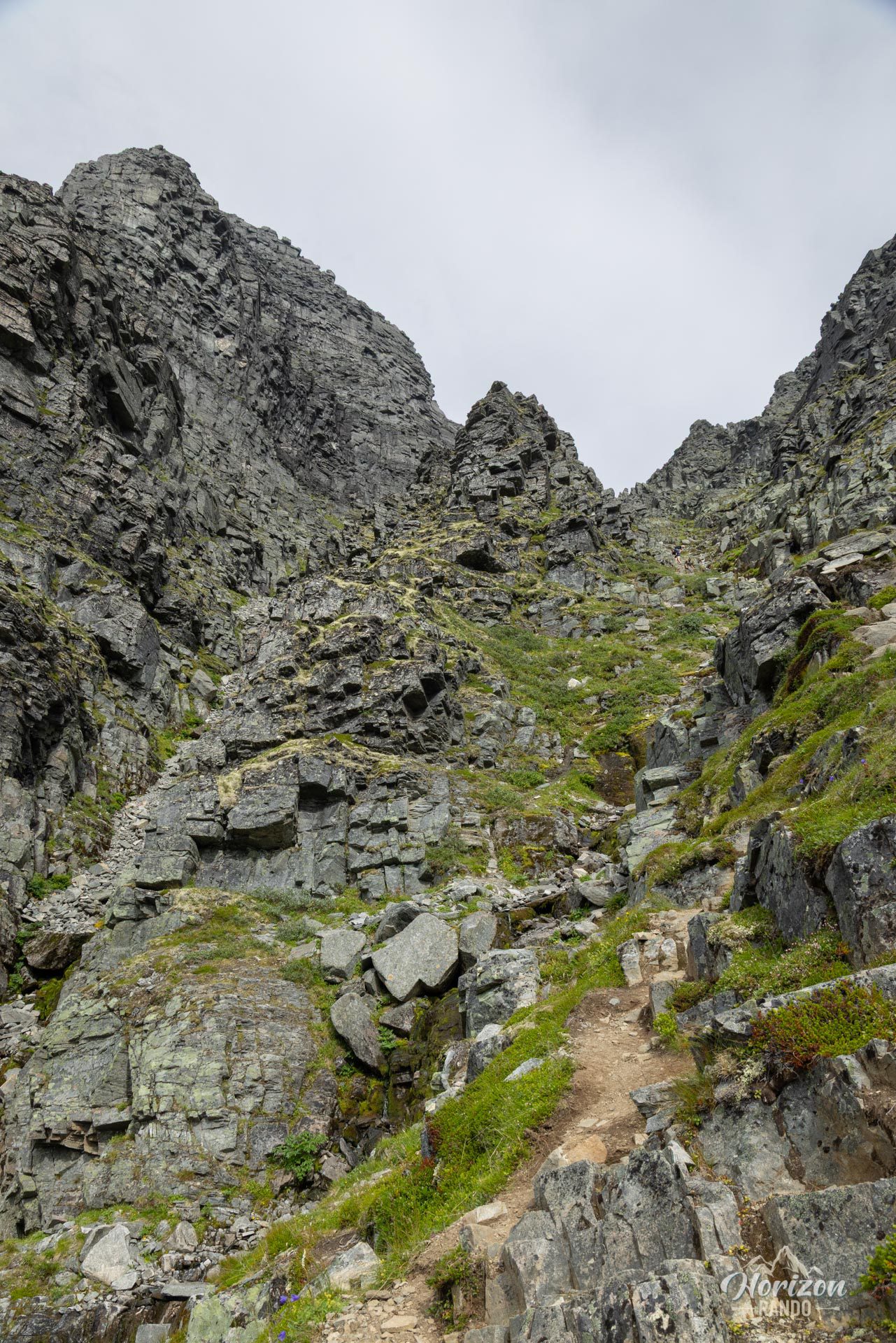
From there, the tone changes. The summit, visible from the lake, seems almost inaccessible appearing as an austere and impressive pyramid. The climb to the Tårnskaret pass (1,330 m) is through a narrow and very steep corridor that requires concentration and vigilance.
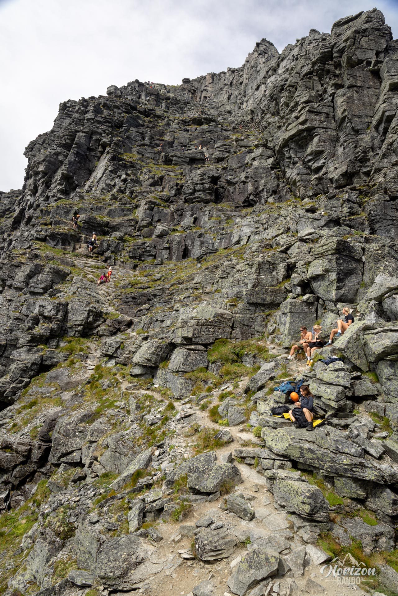
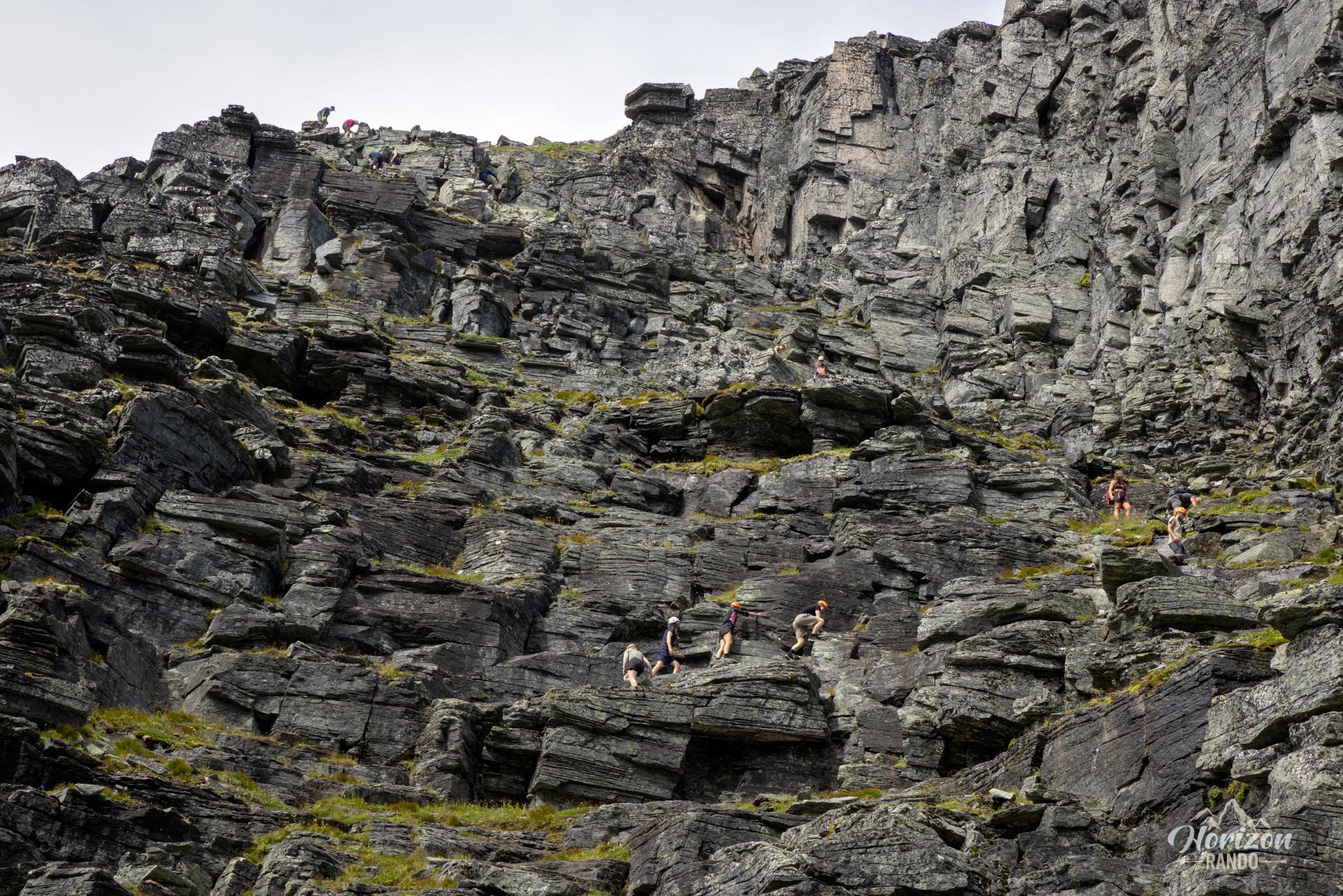
However, the final section, from the pass, requires the most skill. The last 120 meters of elevation gain involves some tough scrambling on steep rocks and slabs. You must constantly analyze the terrain to choose the safest route and frequently use your hands for balance and to move forward. There is no room for fear of heights here: only experienced hikers comfortable with technical terrain should attempt this route.
Essential precautions:
- This climb is strongly discouraged in wet or rainy weather, as the rocks become extremely slippery and dangerous.
- Wearing a helmet is strongly recommended for the final section: rockfalls are frequent, particularly from hikers above.
What you'll love
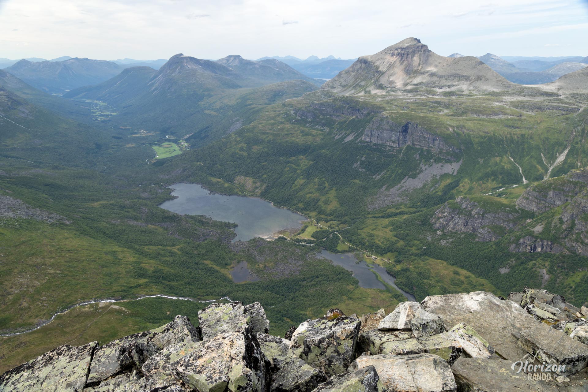
- Spectacular panoramic views: The summit offers an absolutely remarkable 360-degree panorama of the Innerdalen valley, lakes, and the majestic peaks of the Trollheimen Mountain Range.
- The sense of achievement: Reaching the summit of this iconic, historic, and legendary mountain provides an intense sense of satisfaction and a memorable experience.
- The magic of the Innerdalen valley: The approach itself is enchanting. Considered one of the most beautiful valleys in Norway, Innerdalen charms visitors with its idyllic alpine landscapes, crystal-clear waters, and imposing mountains.
- The authentic atmosphere of Renndølsetra: A stop at Renndølsetra is a must! This traditional farm and café offers local specialties, including famous homemade waffles, often made with fresh farm produce. You can also stay overnight to extend your immersion in this timeless valley.
Practical information
Parking
There is a large paid parking lot at the trailhead (75 NOK in 2025). Please note that the valley is popular, so arrive early to avoid crowds.
Equipment
A helmet is strongly recommended for safety reasons at the summit, which is exposed to falling rocks.
Best time to go
From July to September, on average. See the Norway FAQ for more details.
Photos
See all 18 photos →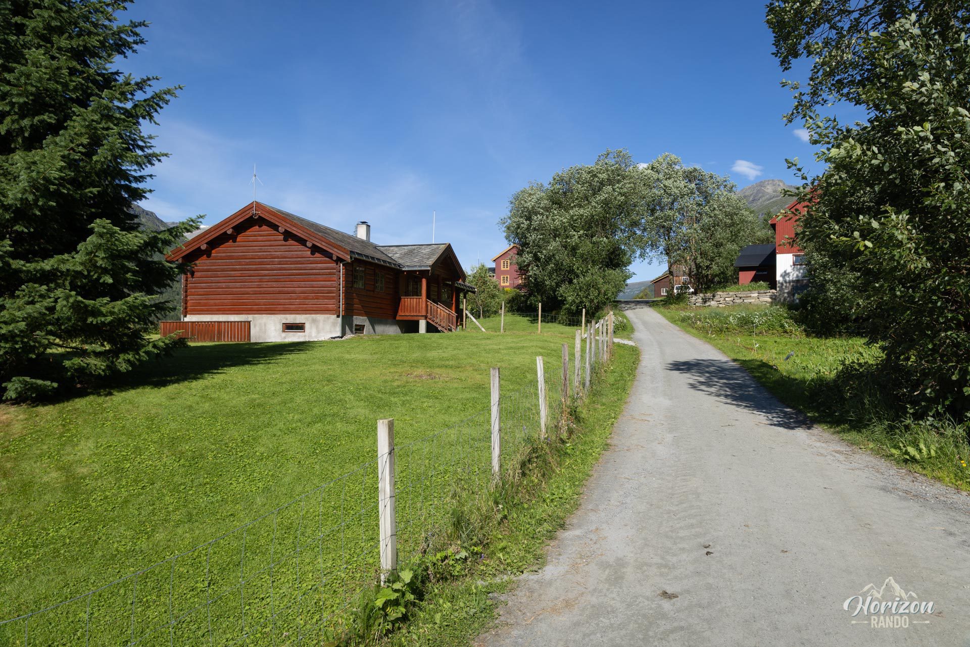
More hikes to do in Norway
Nearby hikes
















Printed from www.horizonrando.fr/en/norway/innerdalstarnet/