





Skrelia Hike
Key facts about the hike
- Difficulty
- Easy Hikes are rated from very easy to very hard: my difficulty scale
- Duration
- 1h30 Estimated time, short breaks included (photos, water, snacks), picnic not included: how it is calculated
- Distance
- 3.9km
- Elevation gain
- 120m
- Type of route
- Loop
- Maximum altitude
- 260 m
- Vertiginous Five levels, depending on how exposed the route is: the levels in detail
- No
- Marked
- Yes
- Popularity
- Low
- County
- Agder
- Start point
- 58.15077, 6.90455
- Activity
- Hiking
Hike overview
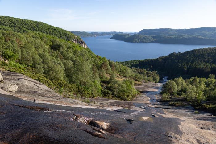
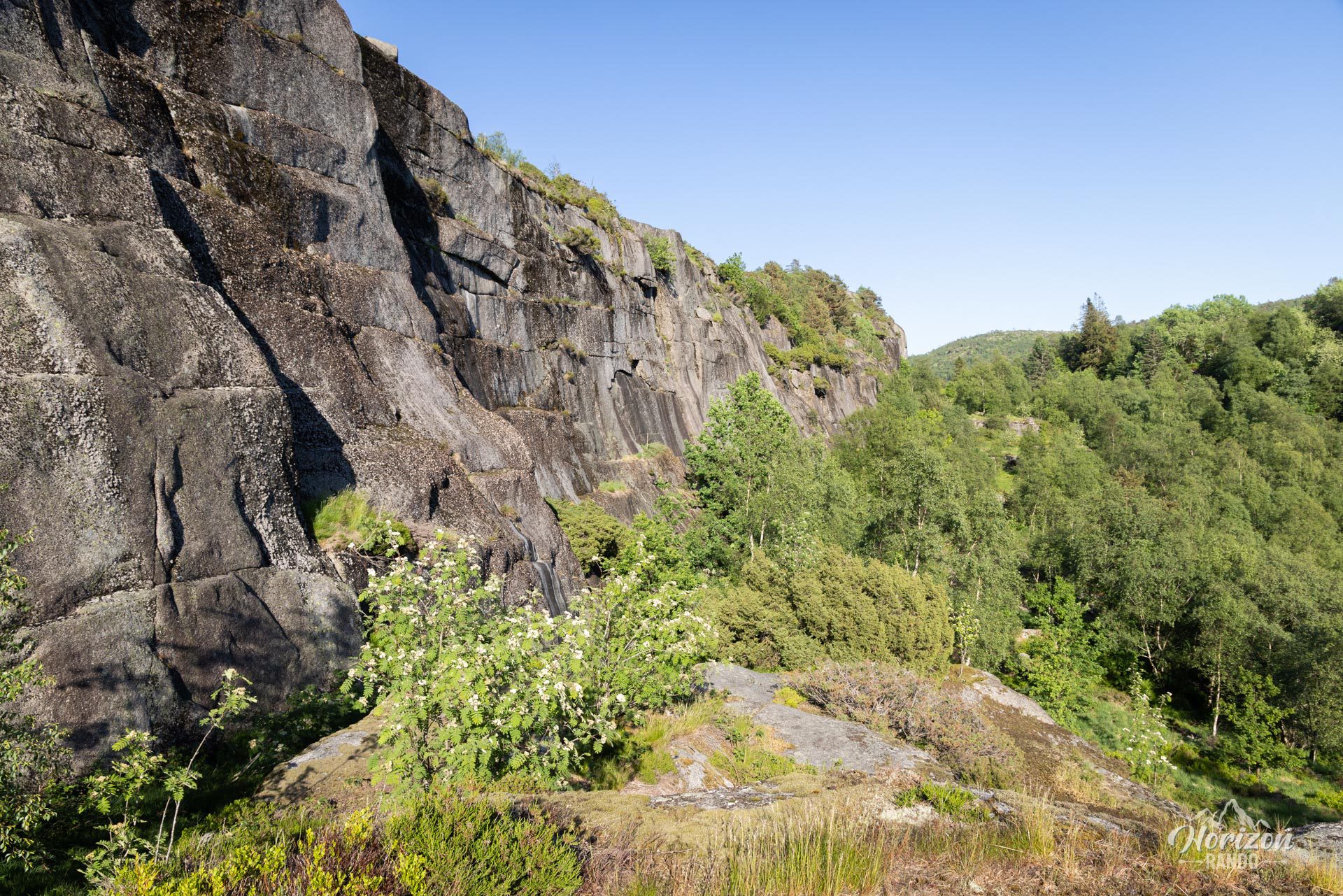
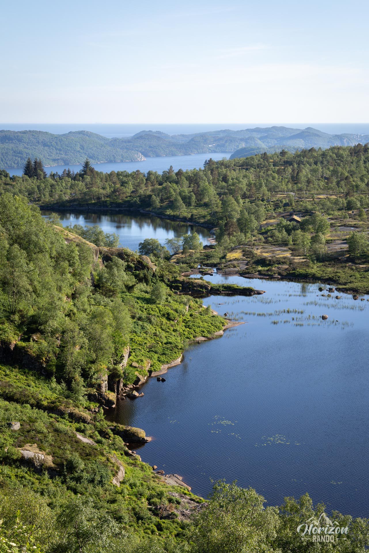
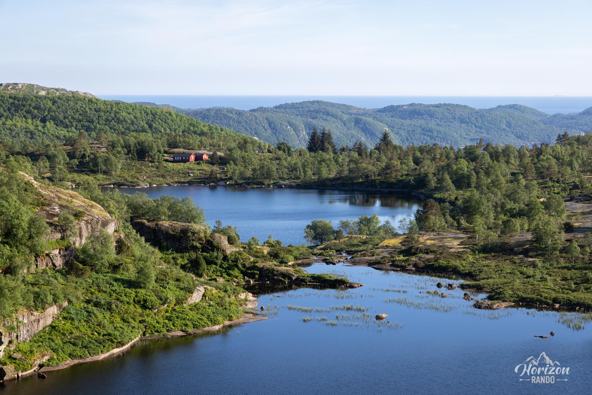
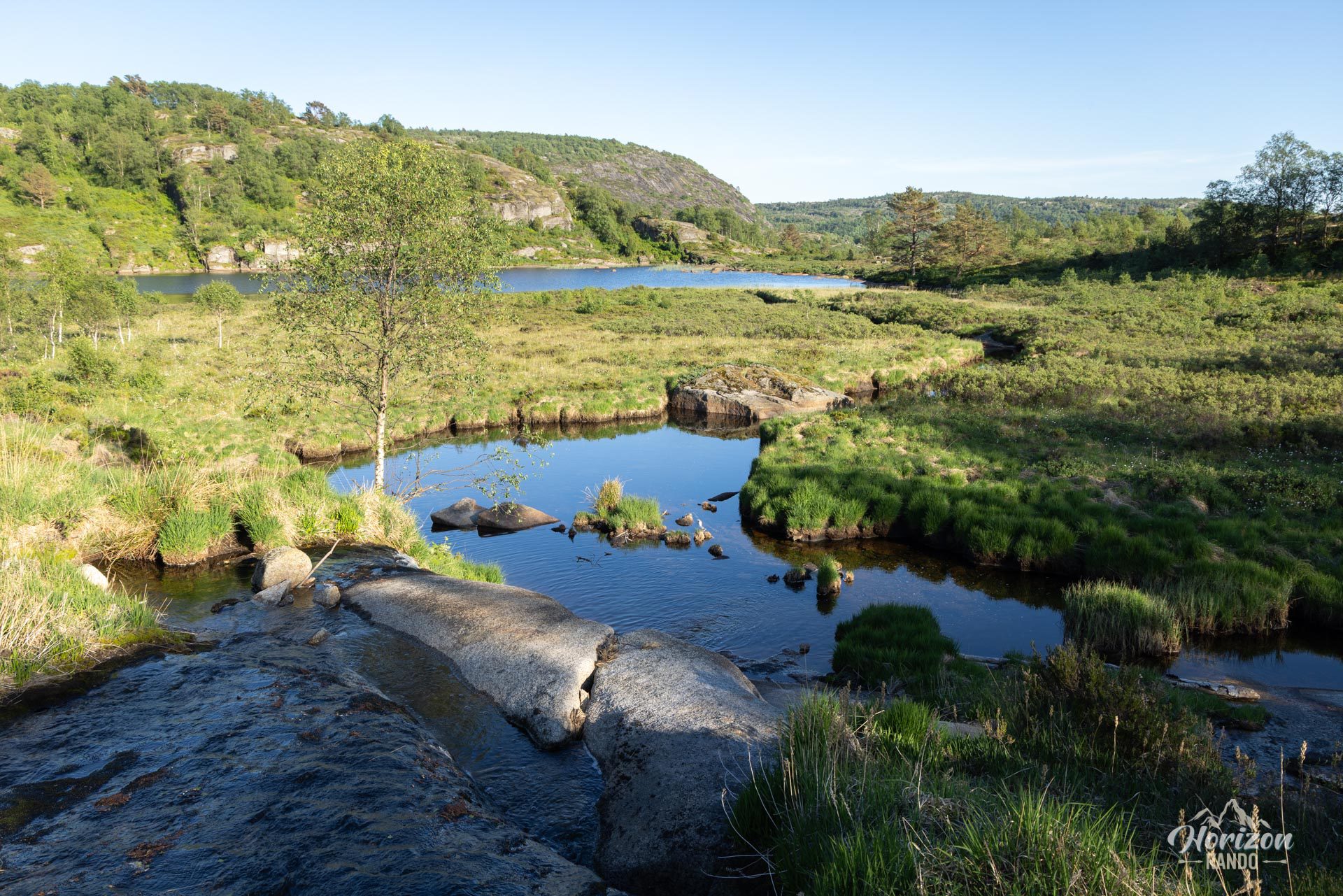
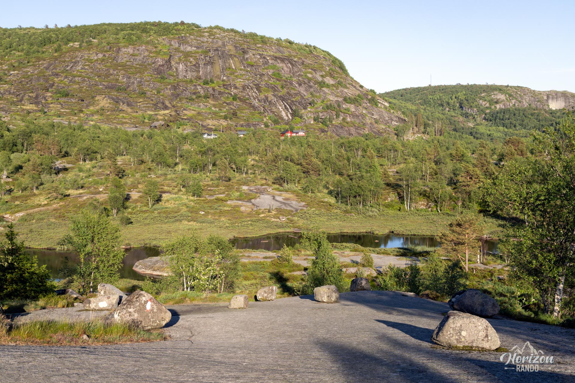
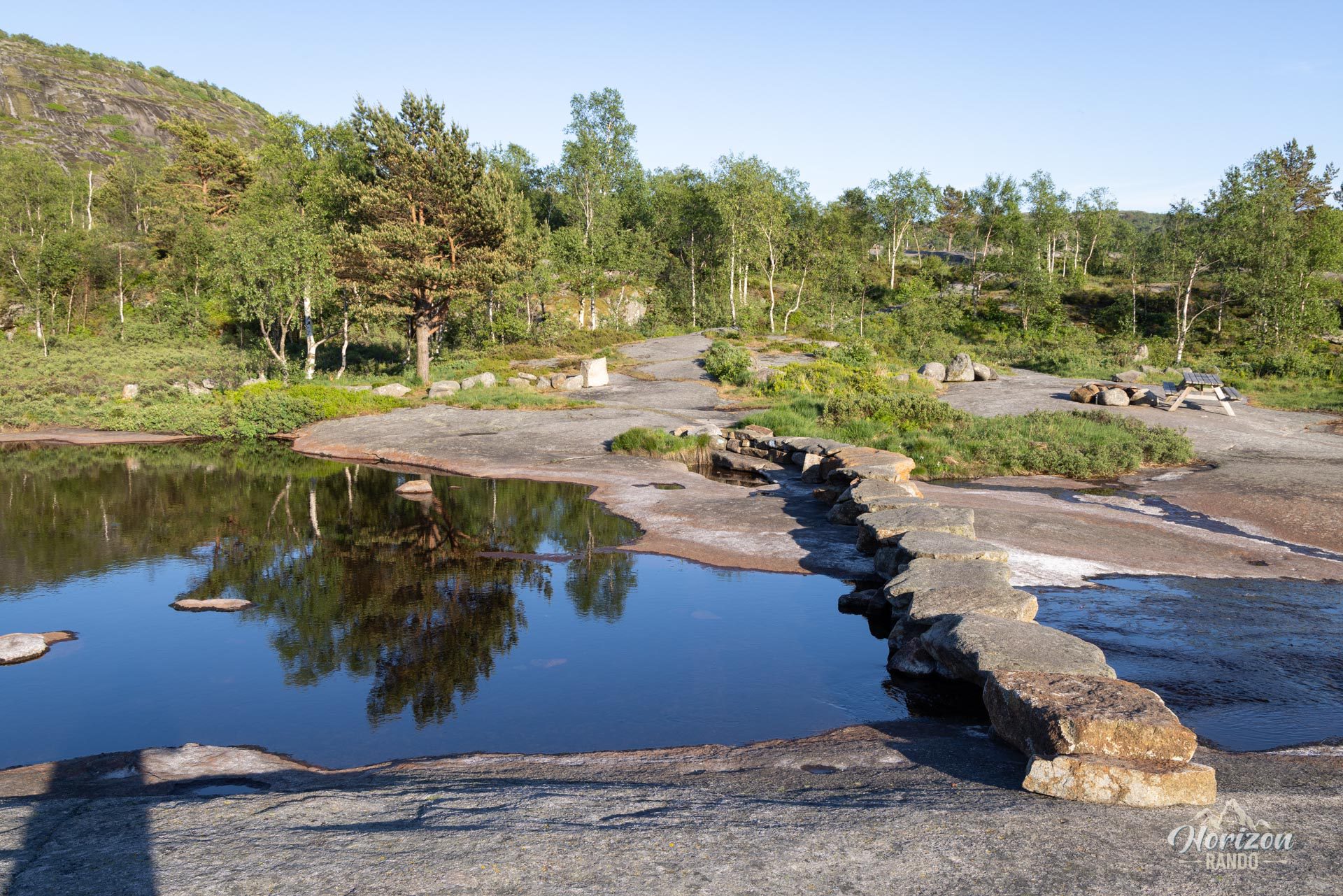
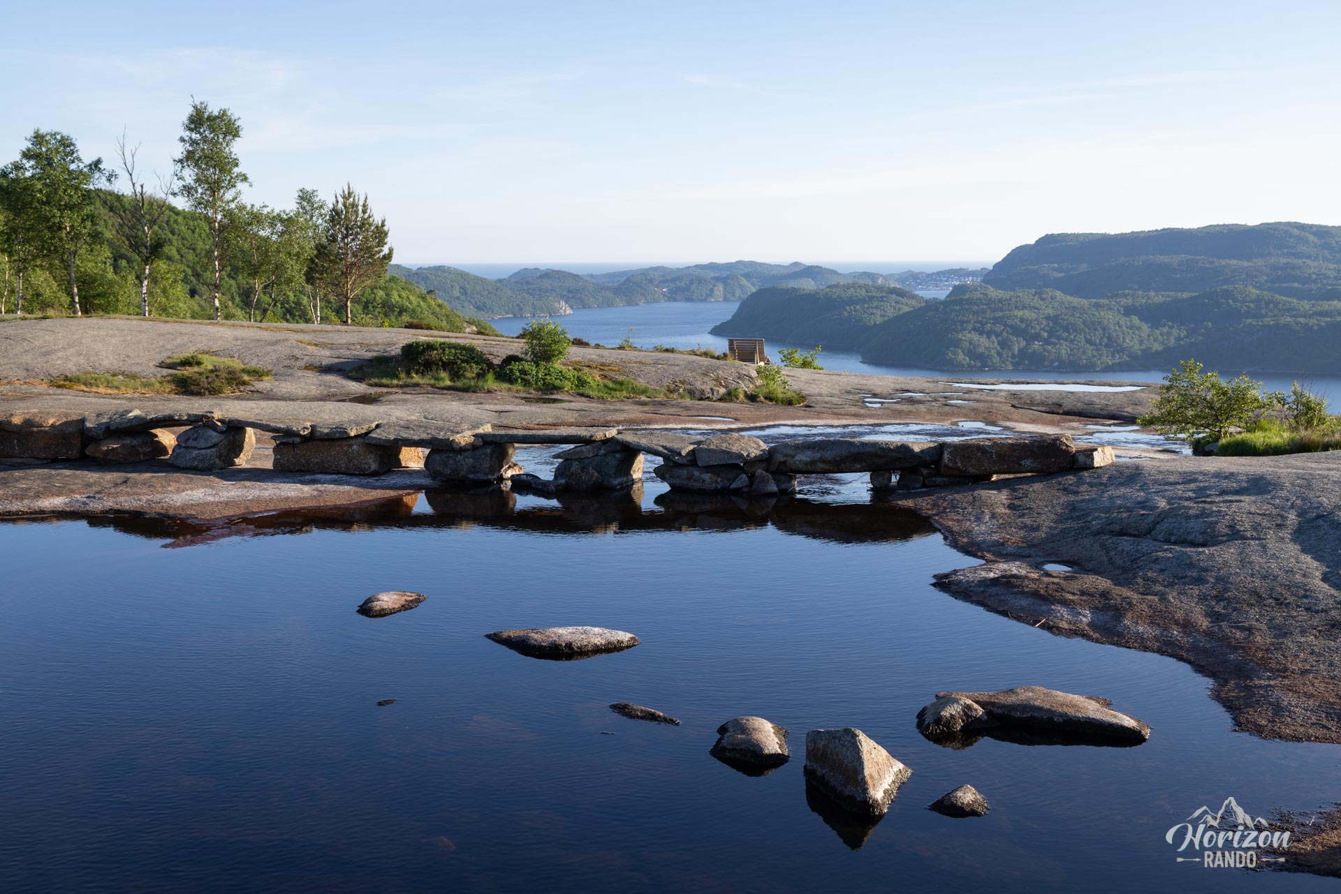
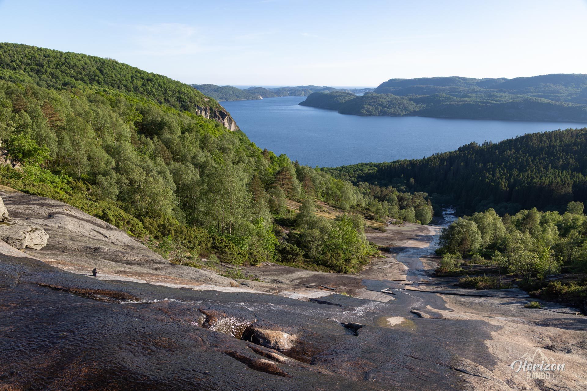
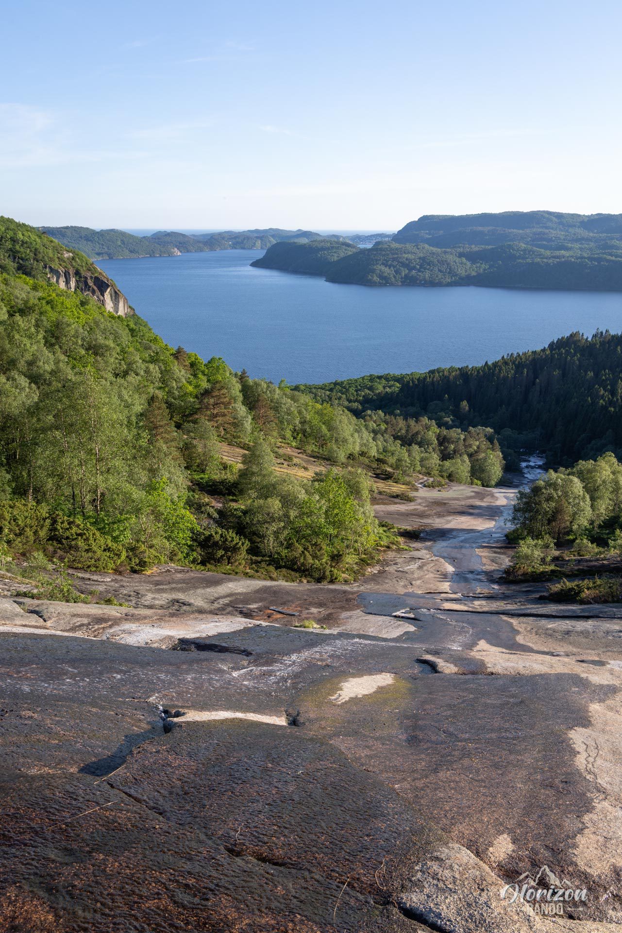
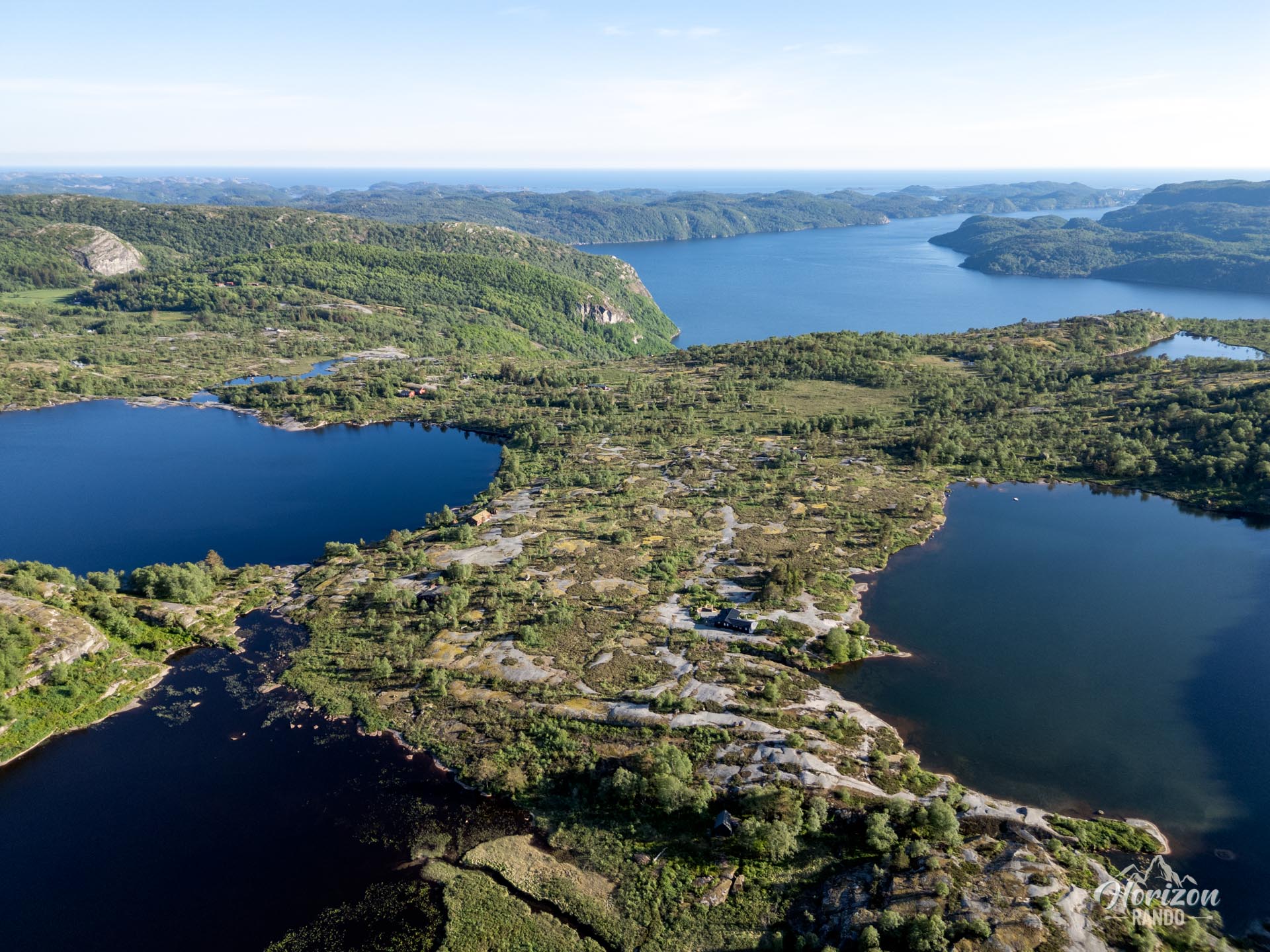
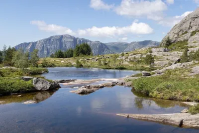
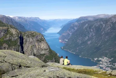
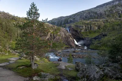
Located in Agder County, near Lyngdal in southern Norway, the Skrelia loop around Lake Sandvatnet is a short hike offering spectacular views of Norwegian landscapes. With its glacier-polished mountains, impressive waterfalls, lakes, and ocean views, this hike is perfect for family outings or for those looking to experience the region for the first time.
Map and elevation profile of the hike
Skrelia Hike
Difficulties of the hike
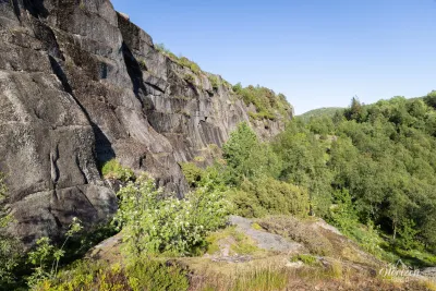
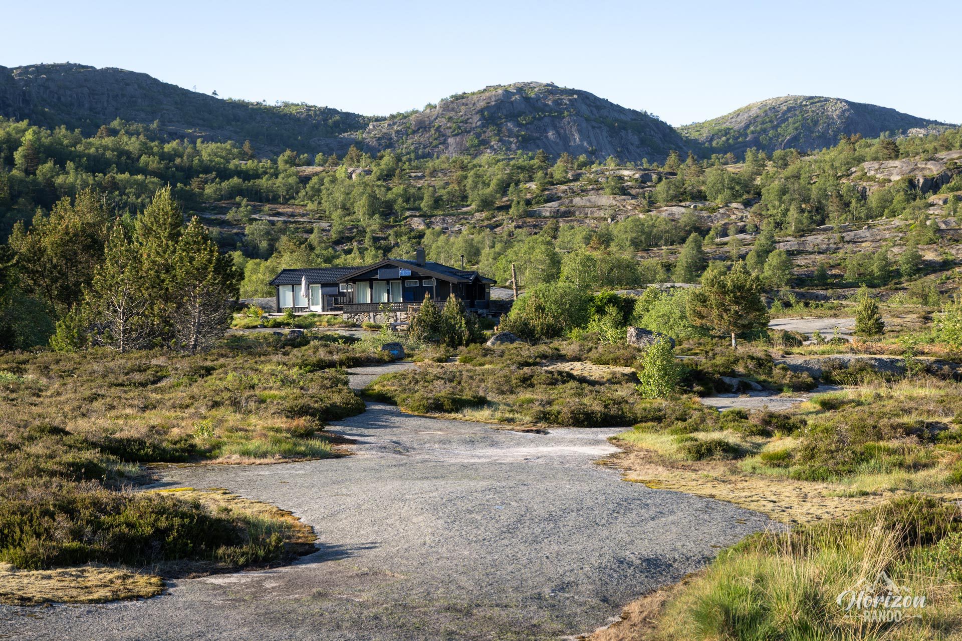
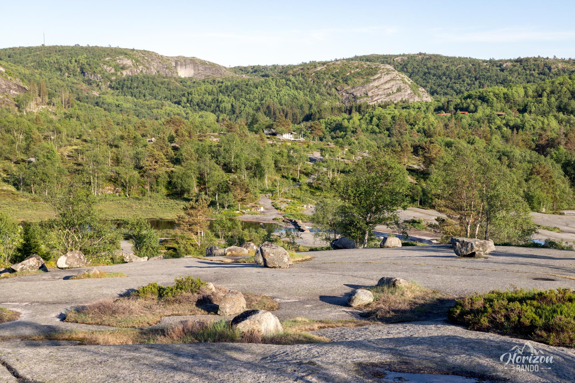
This hike is notable for its high accessibility: it presents no significant technical difficulties and the low elevation gain and mostly flat route make it very easy physically. The trail winds mainly through vast expanses of smooth rocks and offers open views. However, be careful, as these rocky surfaces can become particularly slippery in wet weather. Caution is advised in case of rain.
Access to the starting point is via a narrow, winding gravel road about 10 km long. Driving requires caution and patience, especially when passing other vehicles. For reference, I drove a van that was 2.05 meters wide, but a wider vehicle could make progress more difficult.
What you'll love
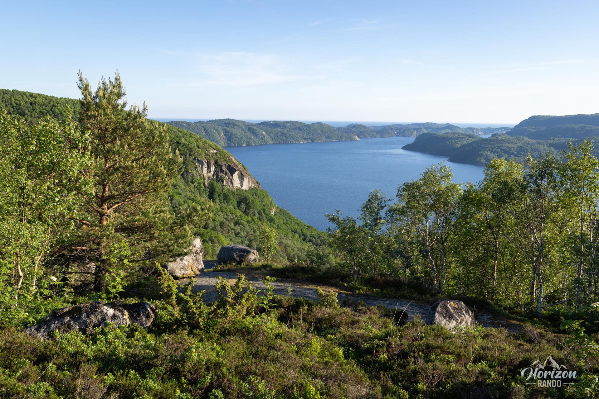
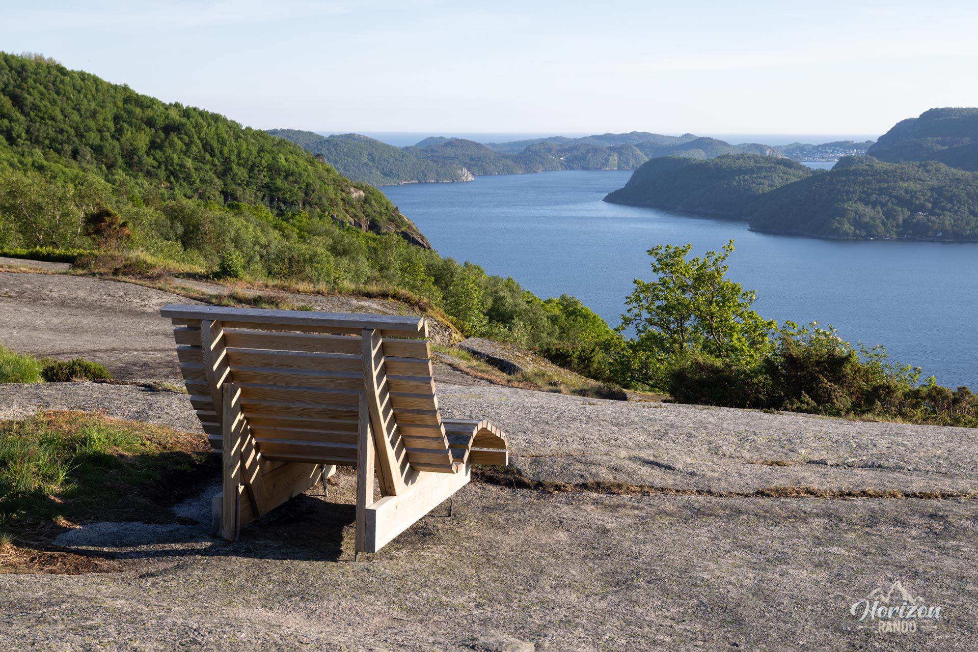
- Spectacular scenery: panoramic views of Skrelifallan waterfall, Åptafjord, the ocean, and rolling mountains.
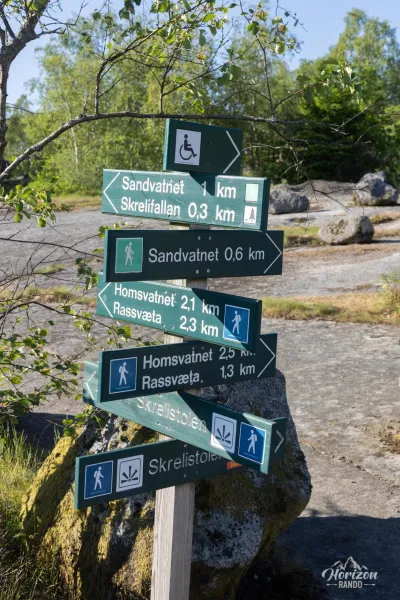
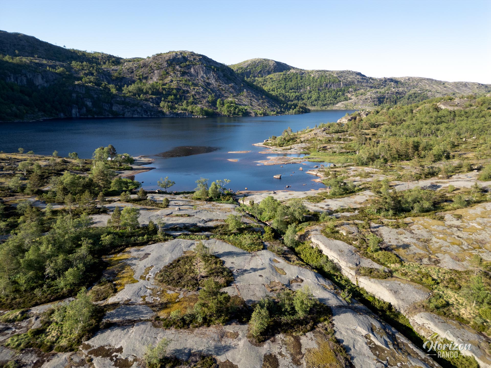
- Lake Sandvatnet: the perfect place for a contemplative break, a refreshing swim, or a picnic in an enchanting setting.
- Various extensions: several loops and variations allow you to tailor the hike to your desires, with access to other lakes and remarkable viewpoints.
Practical information
Access
Free parking is available at the start of the trail, which is accessible via a narrow, winding gravel road about ten kilometers long.
Best time to go
From April to November, on average. See the Norway FAQ for more details.
Photos
See all 16 photos →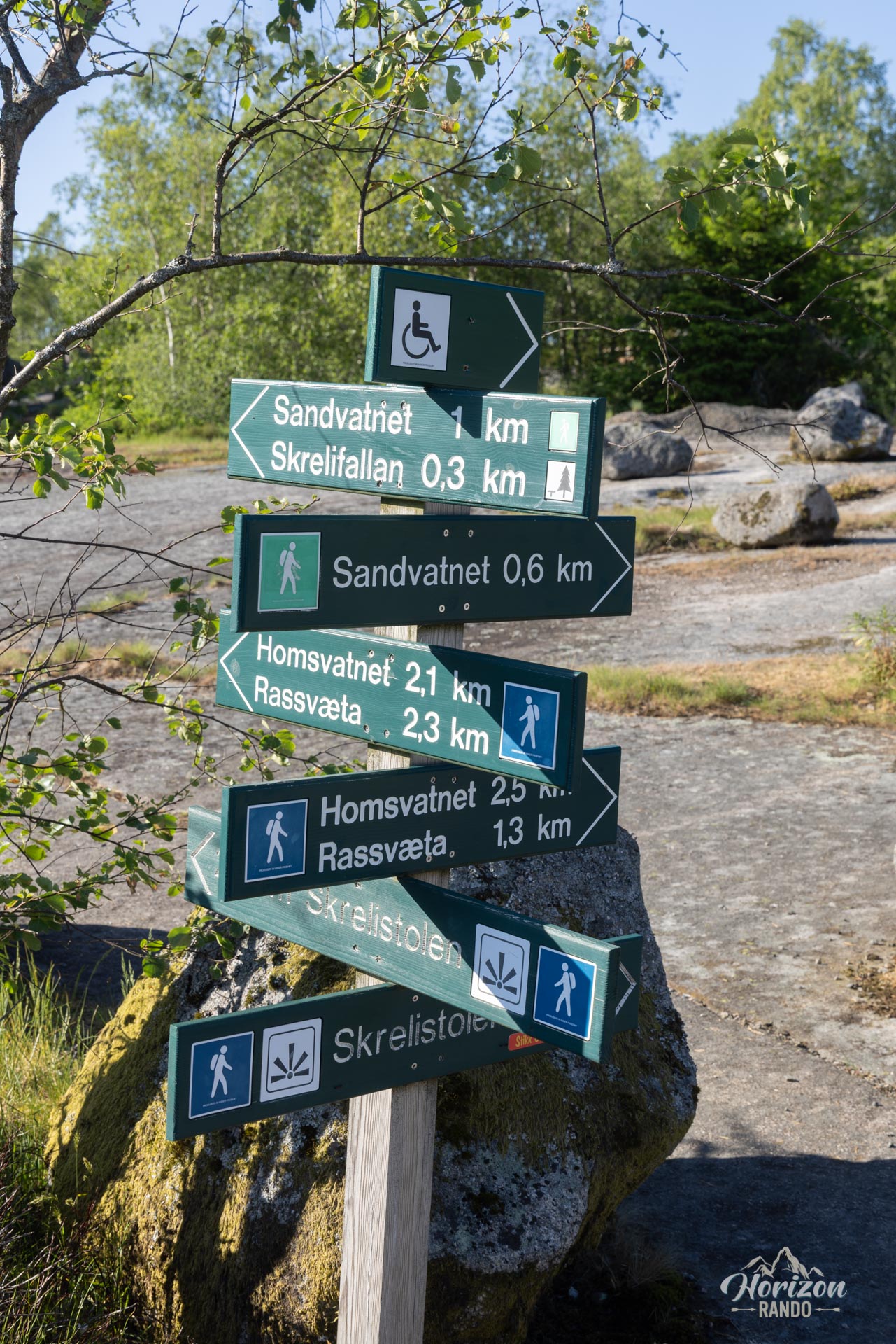
More hikes to do in Norway





















Printed from www.horizonrando.fr/en/norway/skrelia/