





Blåfjellkammen Hike
Key facts about the hike
- Difficulty
- Moderate Hikes are rated from very easy to very hard: my difficulty scale
- Duration
- 3h30 Estimated time, short breaks included (photos, water, snacks), picnic not included: how it is calculated
- Distance
- 7.5km
- out and back
- Elevation gain
- 580m
- Type of route
- Out and back
- Maximum altitude
- 486 m
- Vertiginous Five levels, depending on how exposed the route is: the levels in detail
- Moderately
- Marked
- No
- Popularity
- Very low
- Island
- Flakstadøya, Lofoten
- Start point
- 68.06543, 13.23760
- Activity
- Hiking
Hike overview
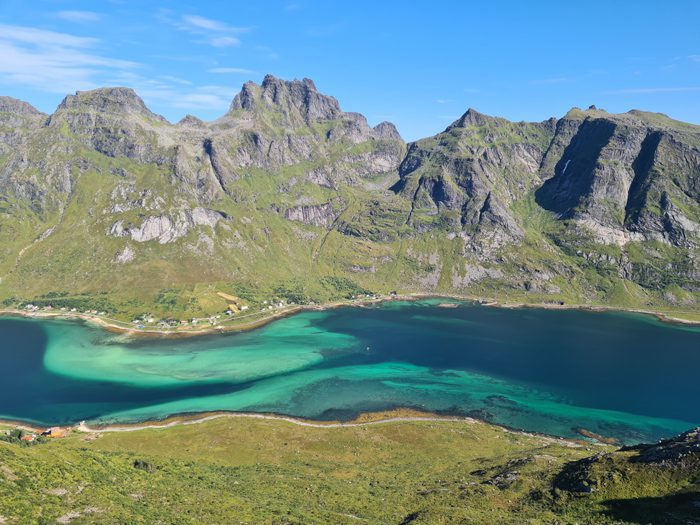
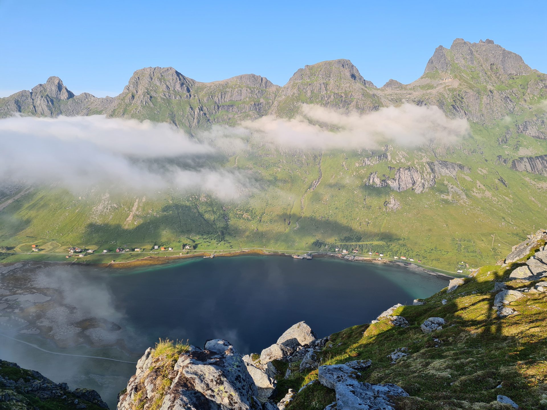
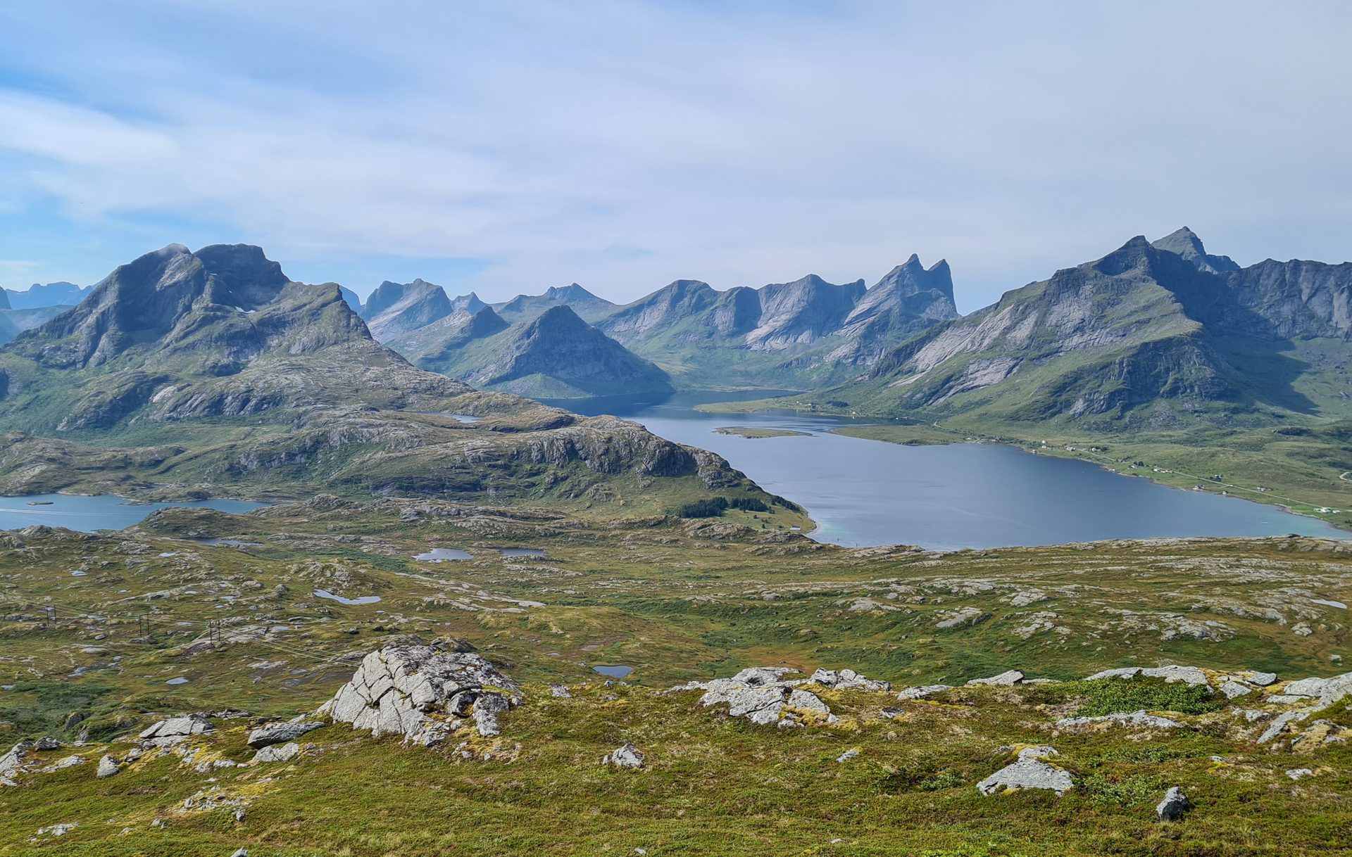
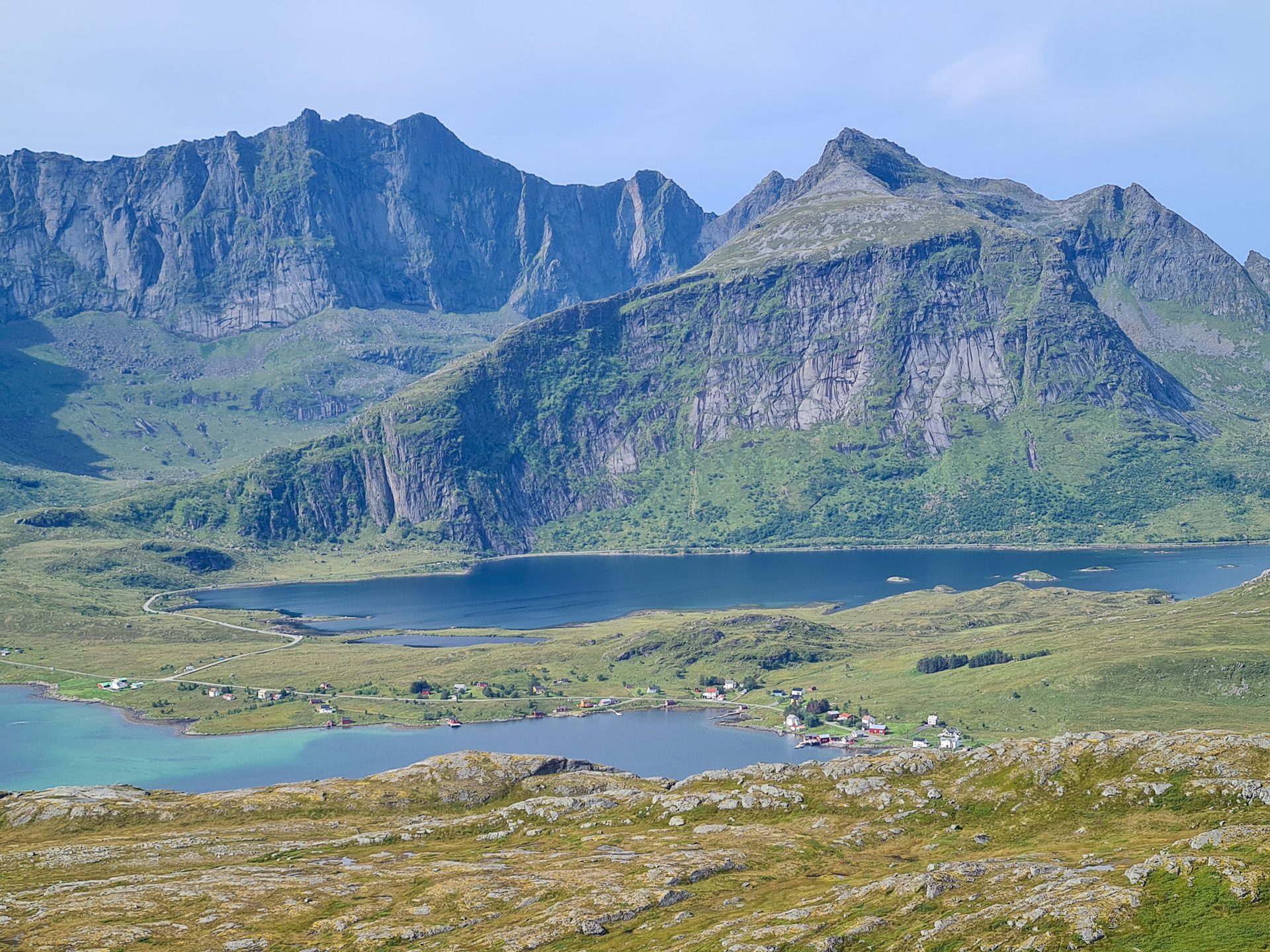
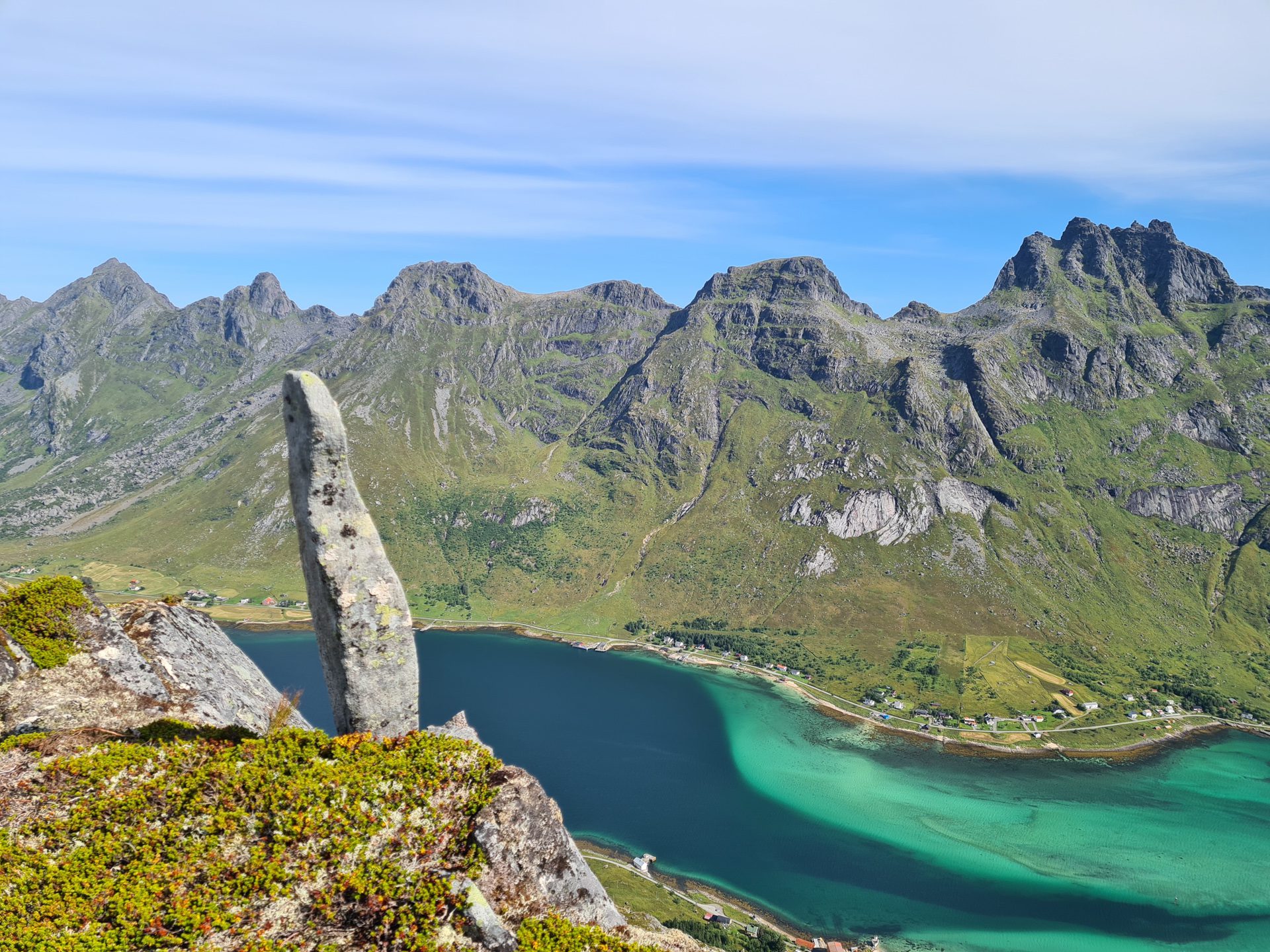
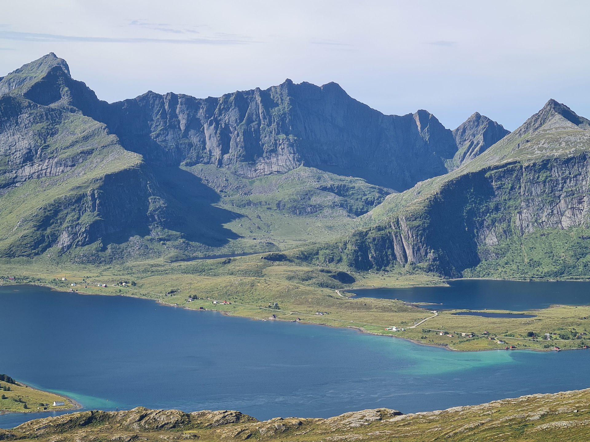
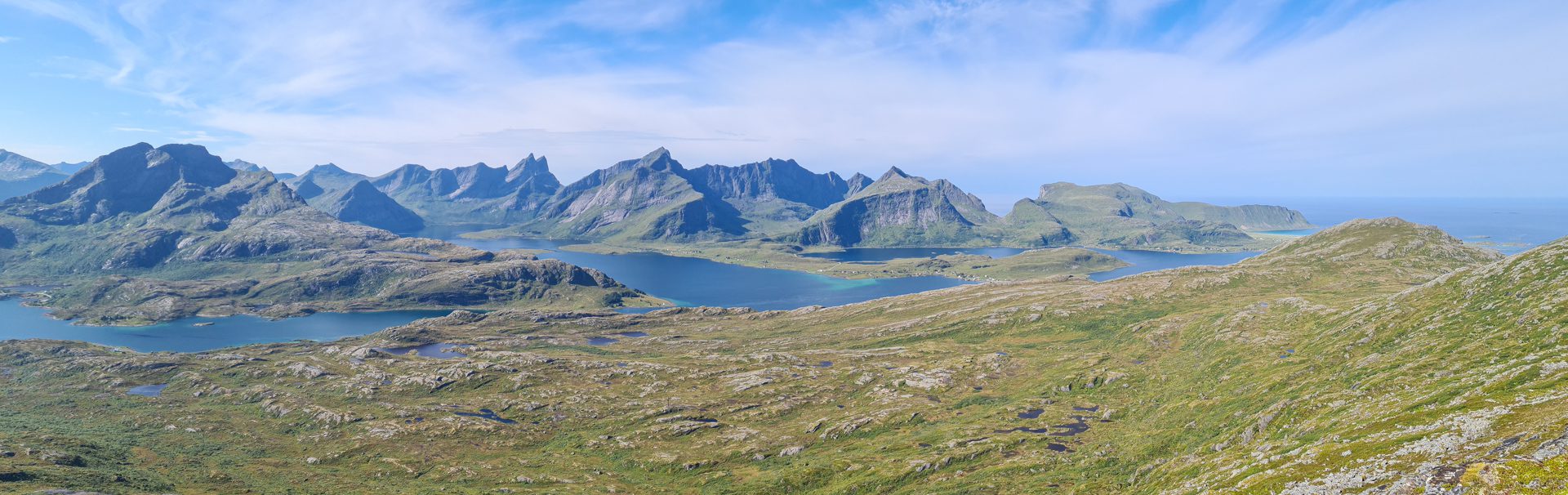
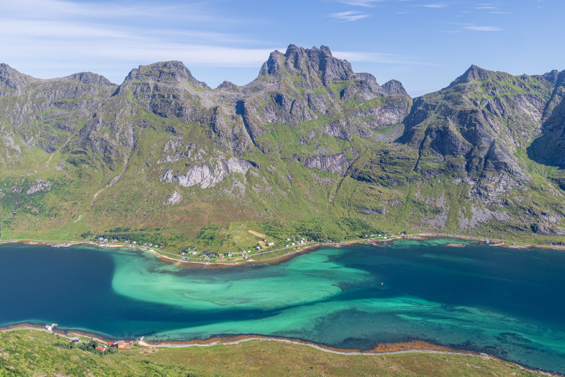
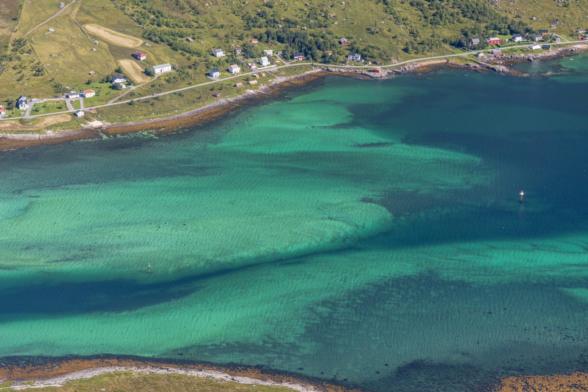
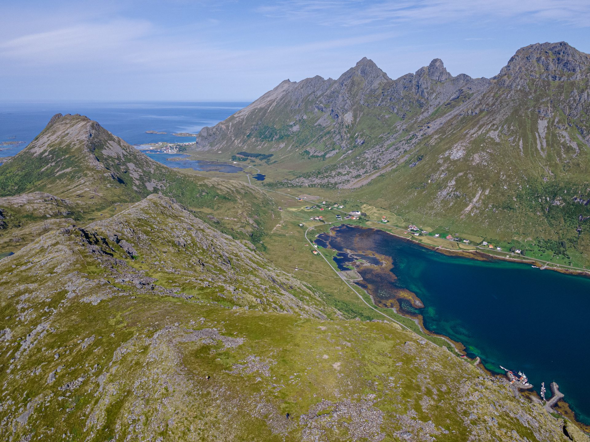
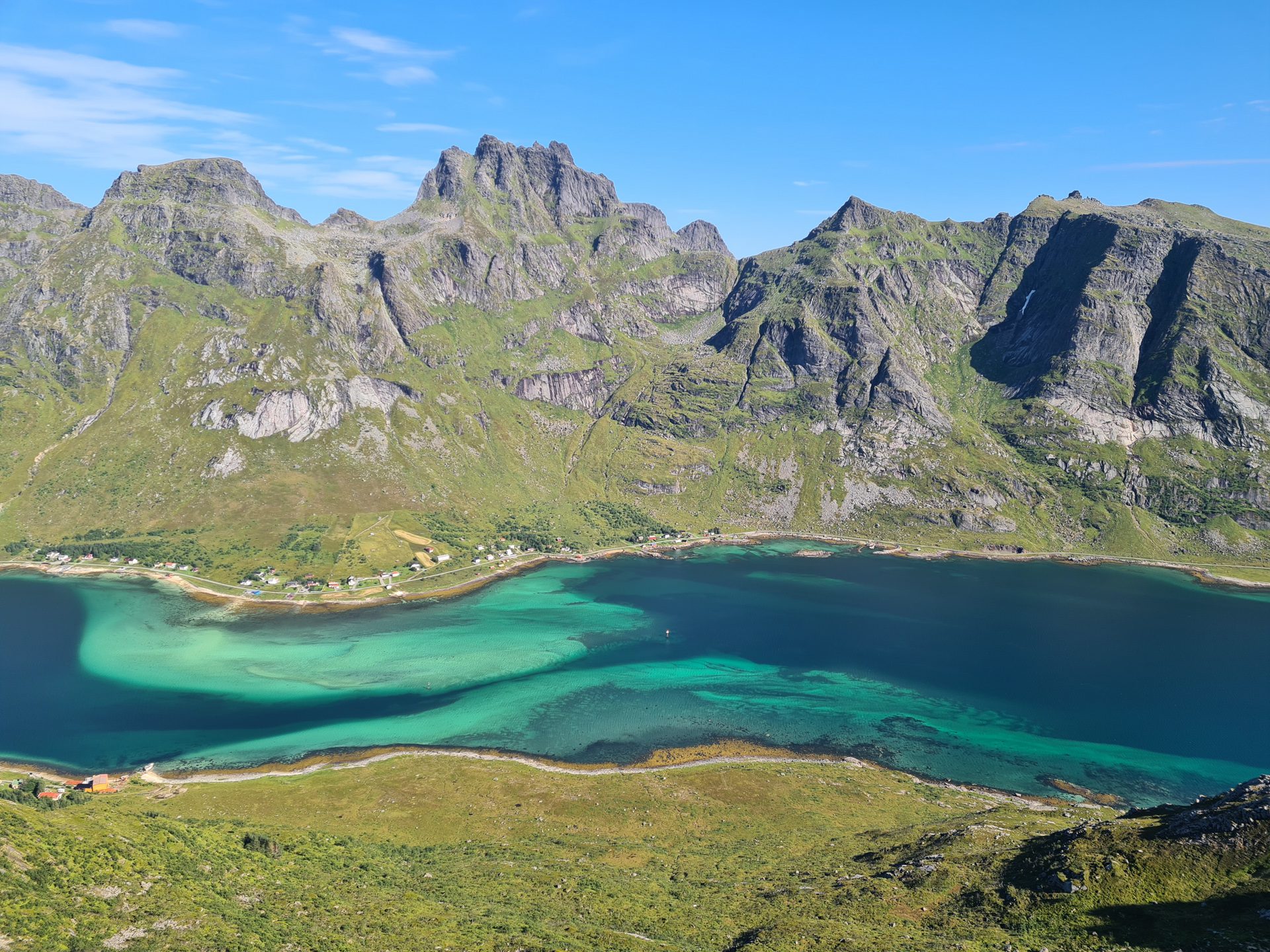
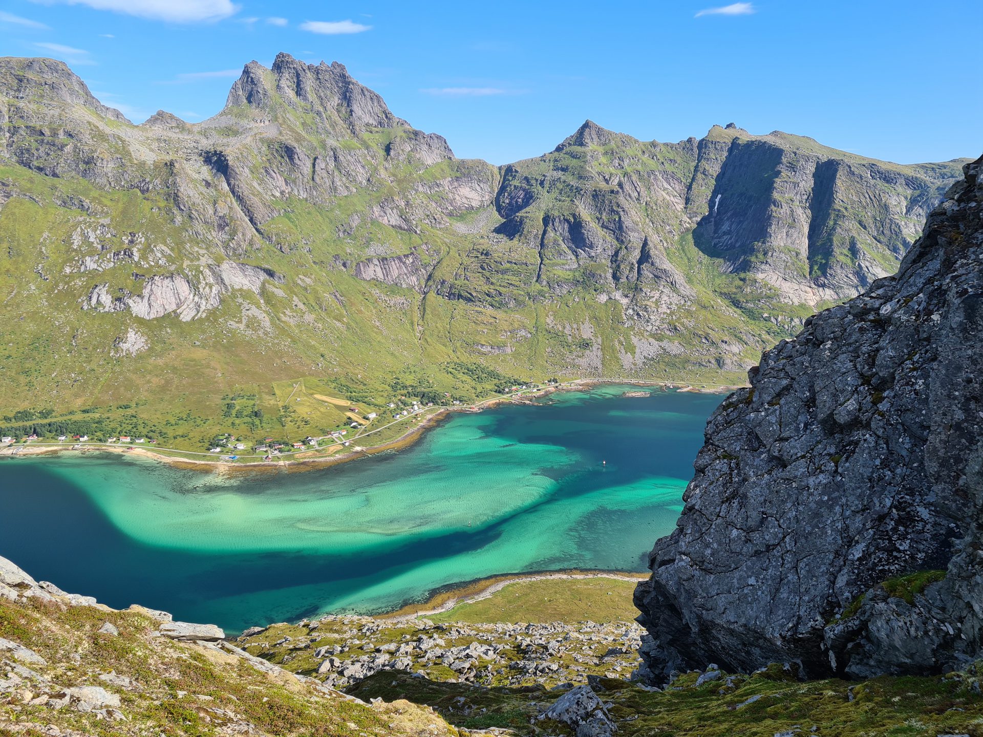
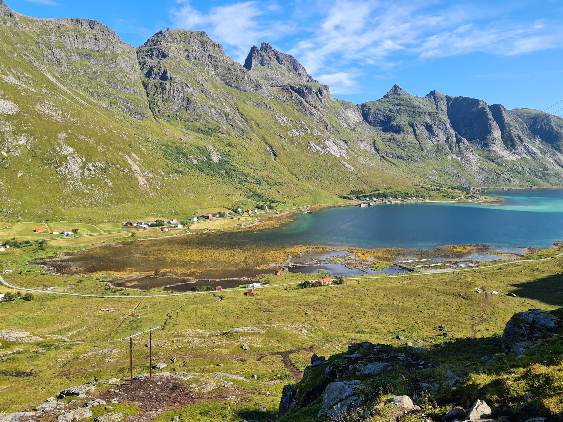
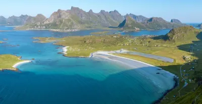
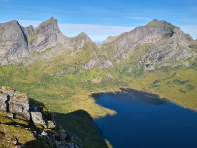
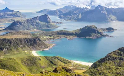
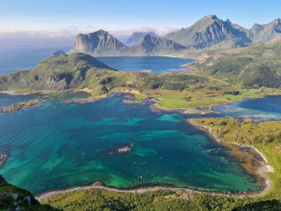
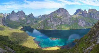
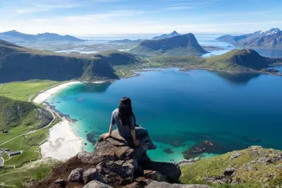
The Blåfjellkammen hike is a beautiful escape to the heights of Flakstadøya Island in the Lofoten archipelago. This relatively short route has a wild and authentic character that sets it apart from the more popular Lofoten trails. Hikers are rewarded with spectacular views of the Skjelfjorden fjord and its turquoise waters, as well as the highest peaks of Flakstadøya.
Map and elevation profile of the hike
Blåfjellkammen Hike
Difficulties of the hike
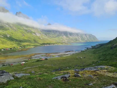
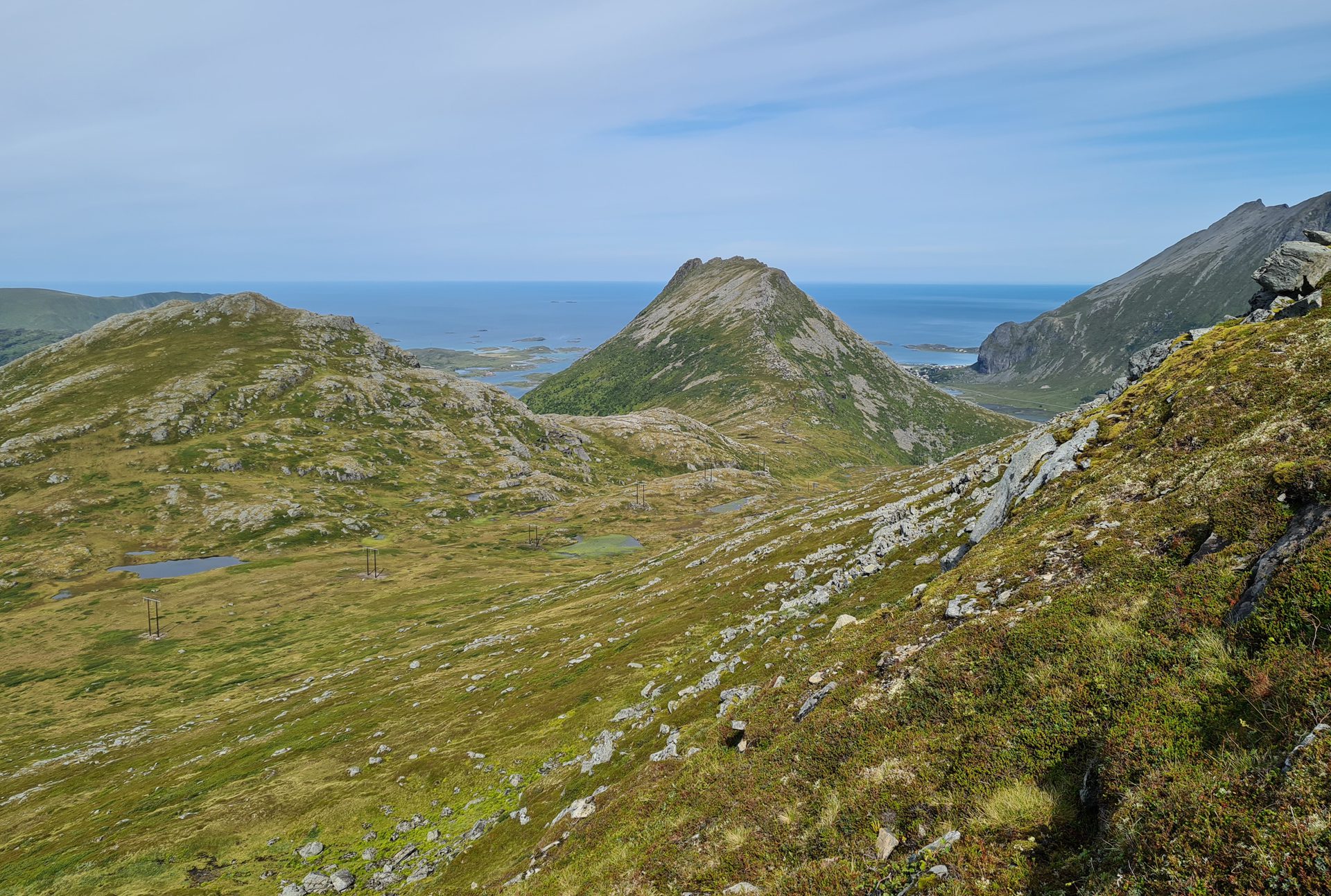
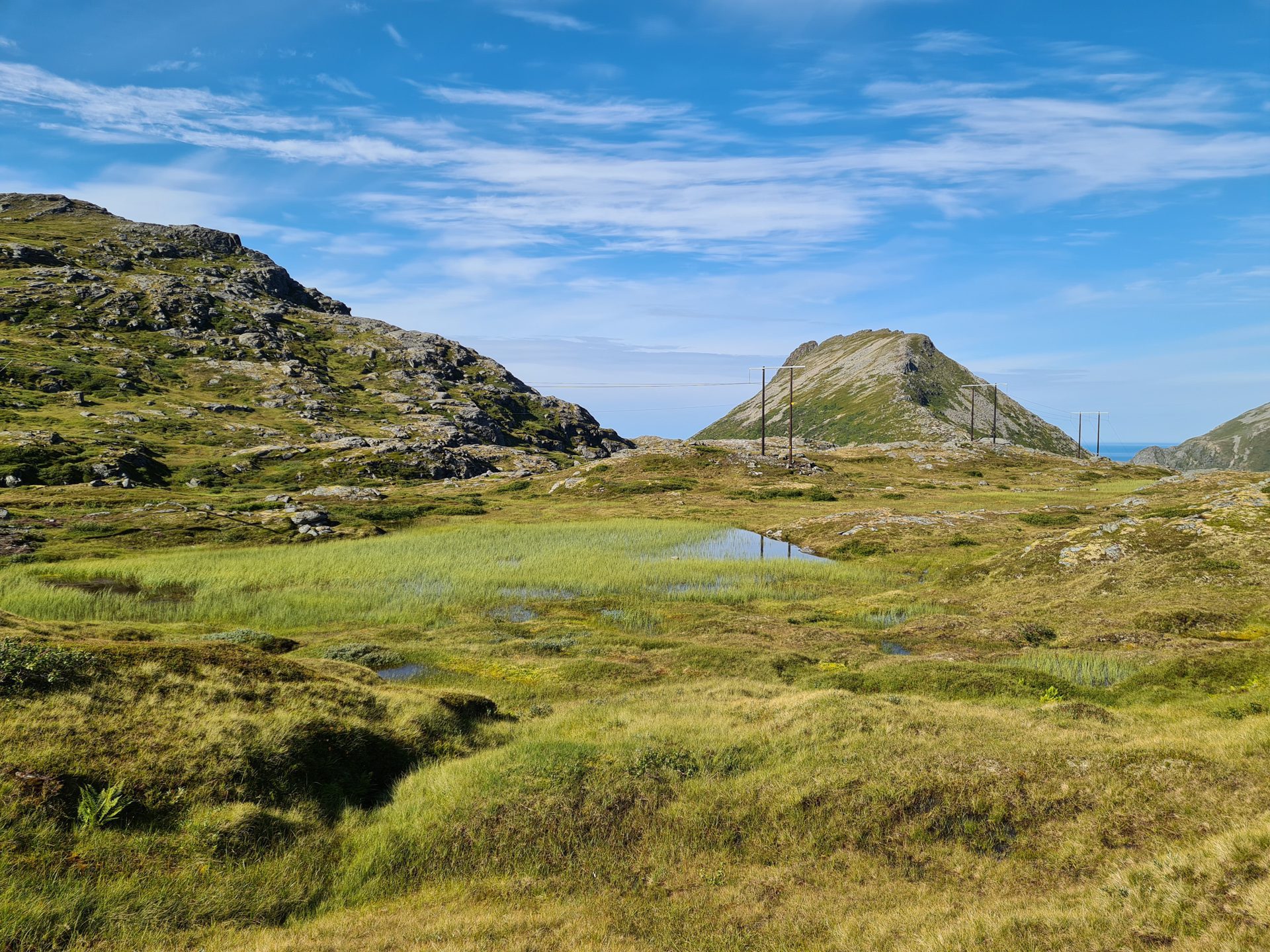
This short hike presents several difficulties worth mentioning. The vegetation is dense and the terrain is marshy in places, especially around the halfway point. Therefore, the effort required is much greater than on conventional terrain.
The route is not marked. The trail is fine until the junction with Volandstinden. After that, although there are paths in some areas, they often disappear, making navigation difficult. Fortunately, a path becomes more visible towards the summit, making the final ascent easier.
What you'll love
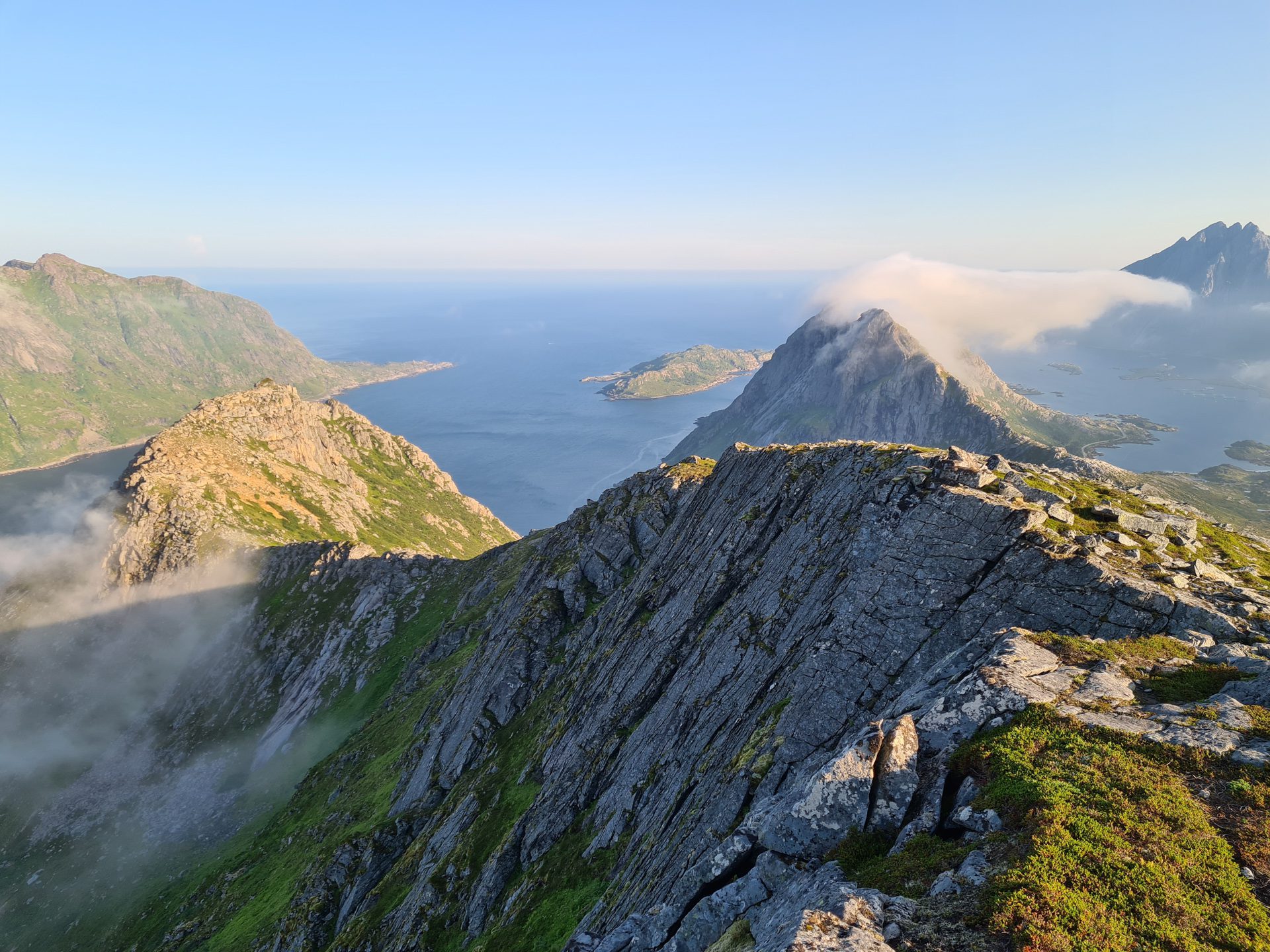
- The magnificent panorama of Skjelfjorden and the peaks of Flakstadøya from the summit.
- The wild and unspoiled nature of this hike, far from the tourist crowds of Lofoten.
- The adventurous aspect of this route, which requires a good sense of direction and offers a real feeling of exploration.
Practical information
Best time to go
Mid-May to mid-October on average. See the Norway FAQ for more details.
Extension
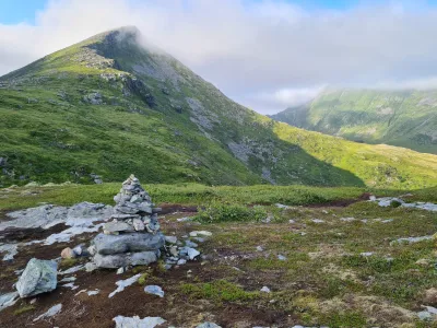
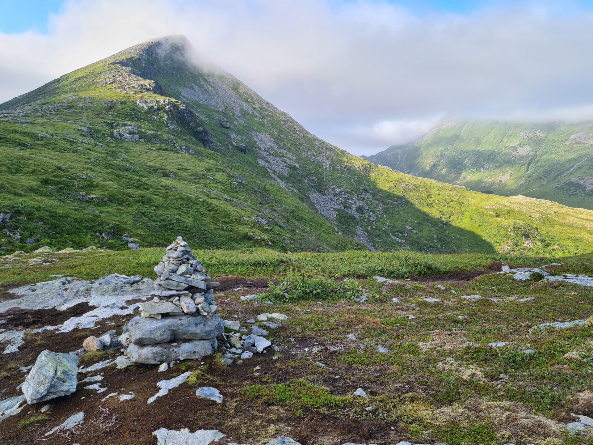
If you still have energy, you can continue with the ascent of Volandstinden from the intersection marked by the large cairn. Allow about an hour for the round trip to enjoy the exceptional views.
Warning
I strongly advise against taking the ridge route to reach the two southern peaks of Blåfjellkammen. The trail is exposed and can be potentially dangerous in some places. Take the trail on the west side instead.
Photos
See all 18 photos →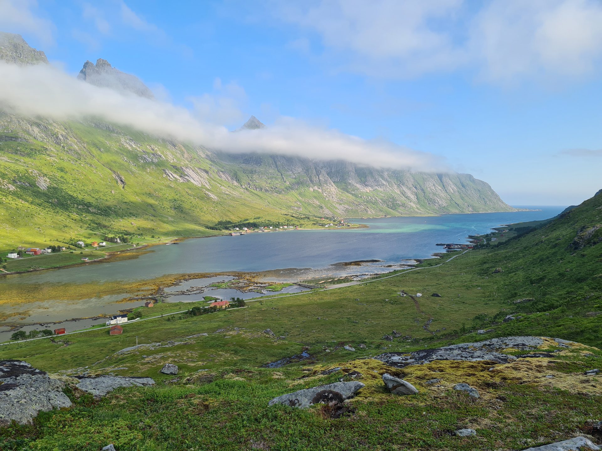
More hikes to do in Norway
Nearby hikes














Printed from www.horizonrando.fr/en/norway/blafjellkammen/