





Røren Hike
Key facts about the hike
- Difficulty
- Easy Hikes are rated from very easy to very hard: my difficulty scale
- Duration
- 1h45 Estimated time, short breaks included (photos, water, snacks), picnic not included: how it is calculated
- Distance
- 4.2km
- out and back
- Elevation gain
- 330m
- Type of route
- Out and back
- Maximum altitude
- 295 m
- Vertiginous Five levels, depending on how exposed the route is: the levels in detail
- No
- Marked
- No
- Popularity
- Moderate
- Island
- Moskenesøya, Lofoten
- Start point
- 68.09936, 13.13486
- Activity
- Hiking
Hike overview
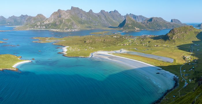
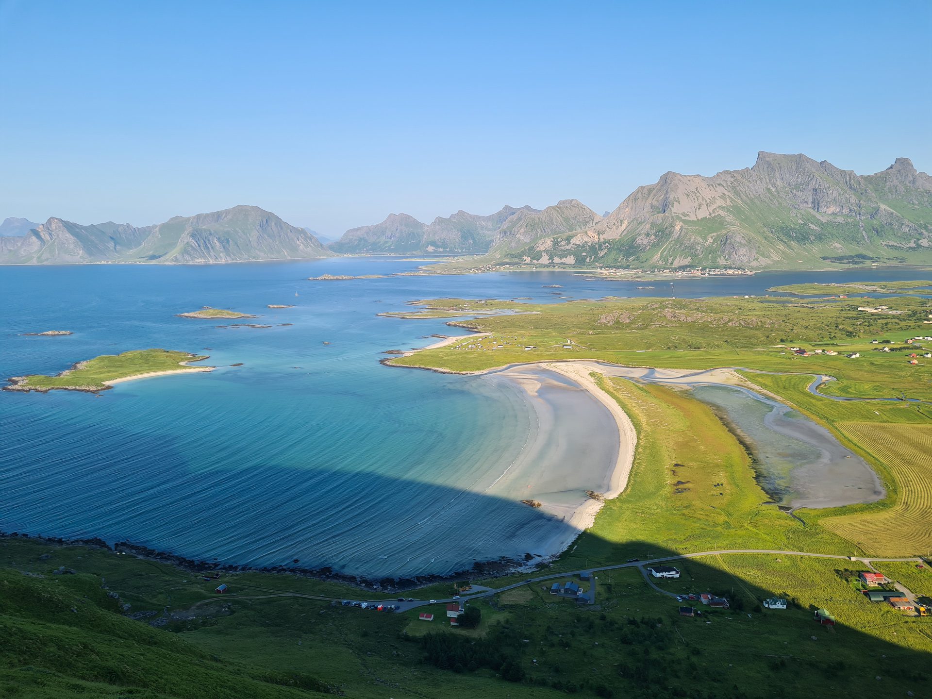
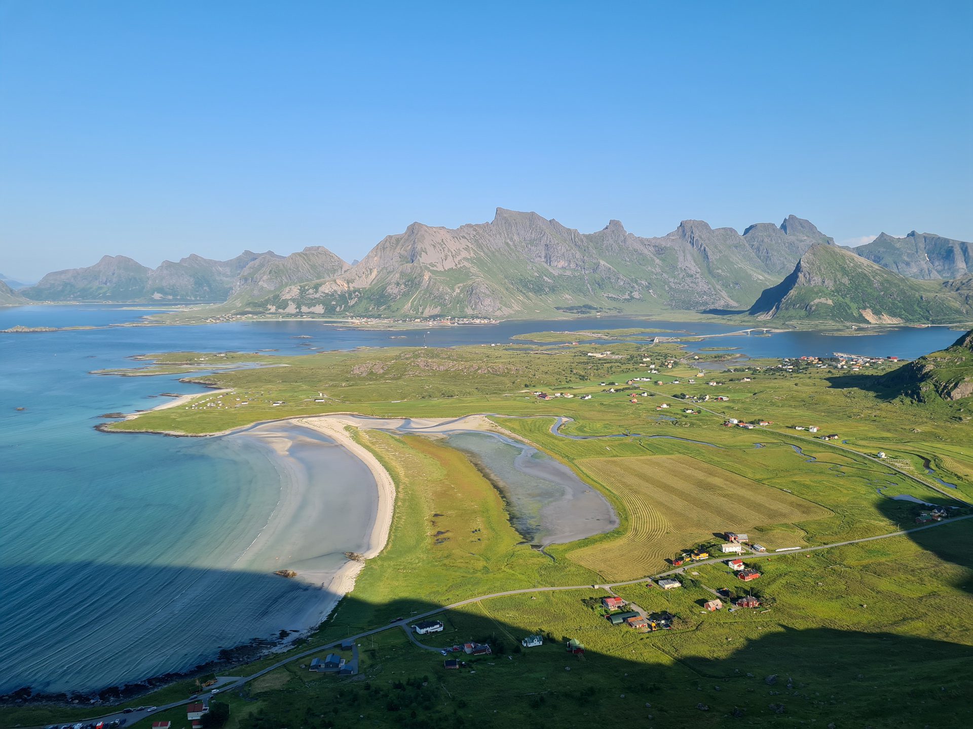
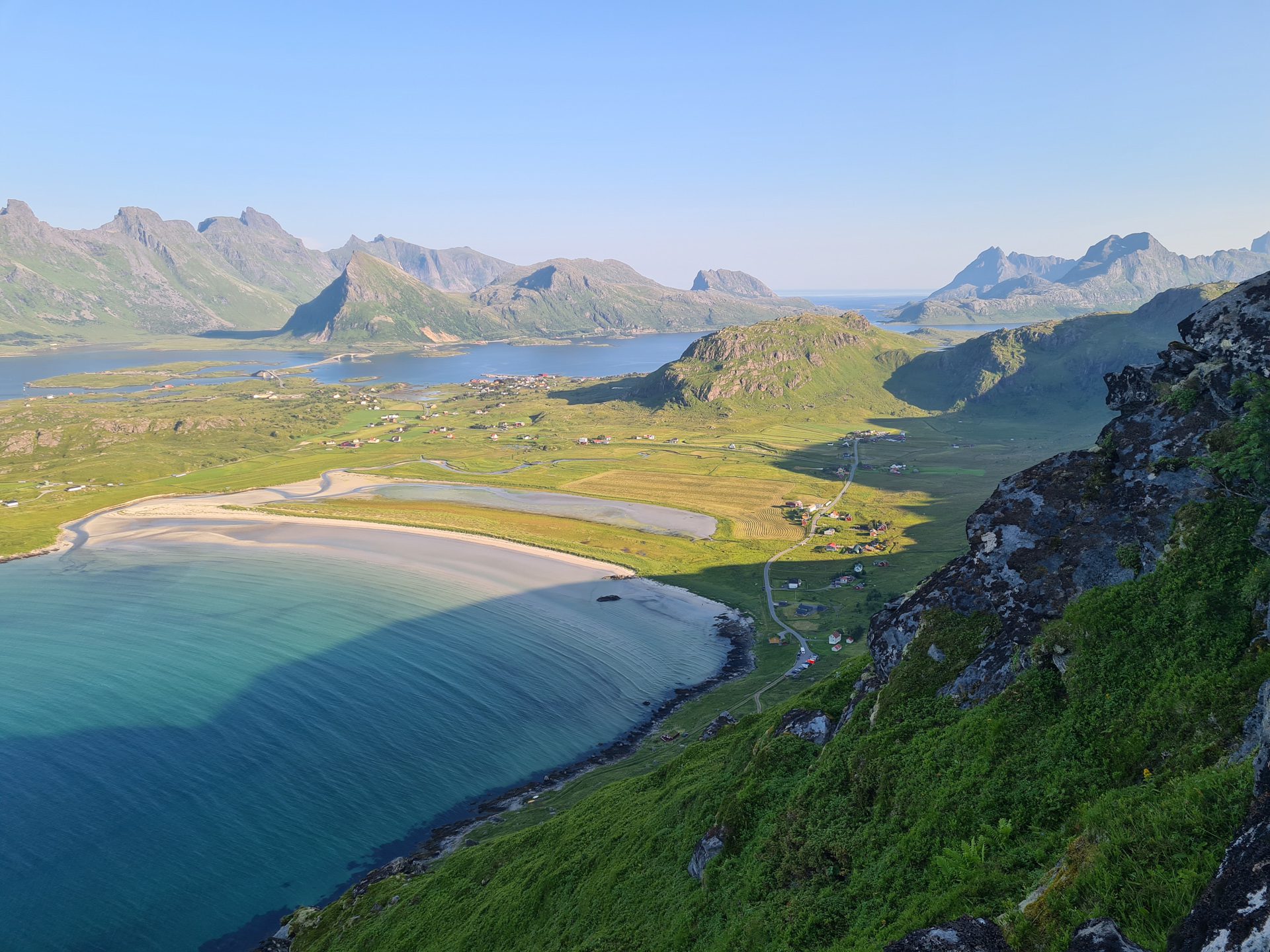
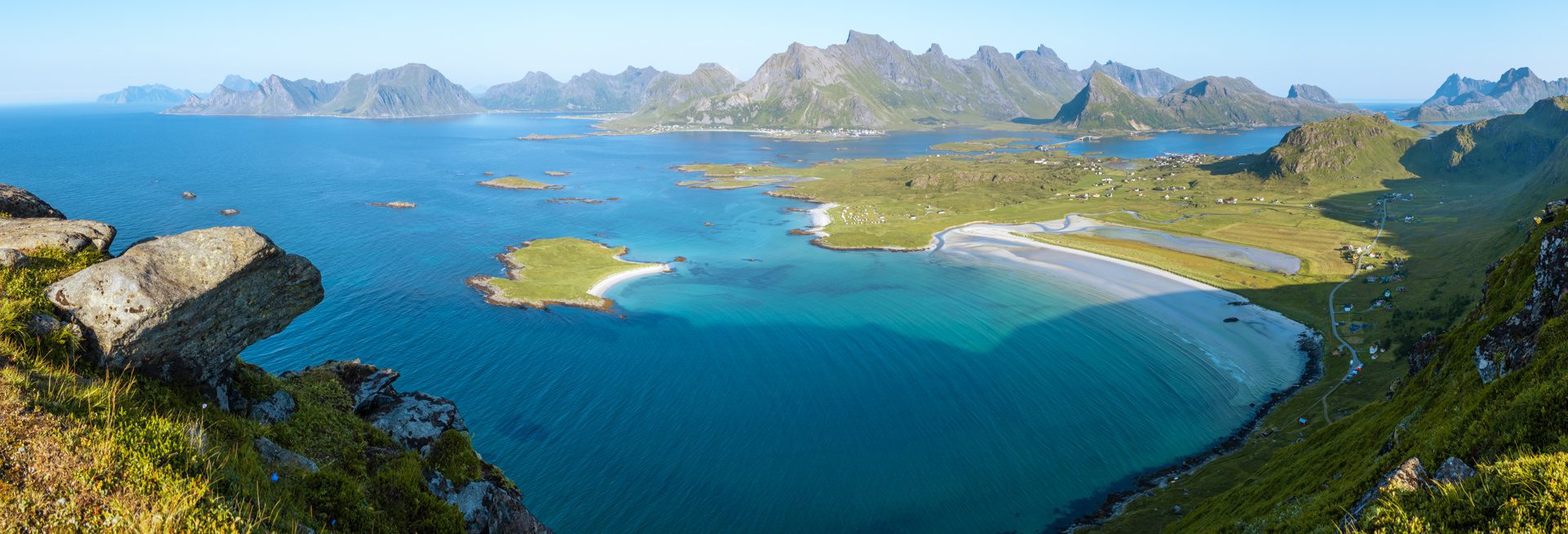
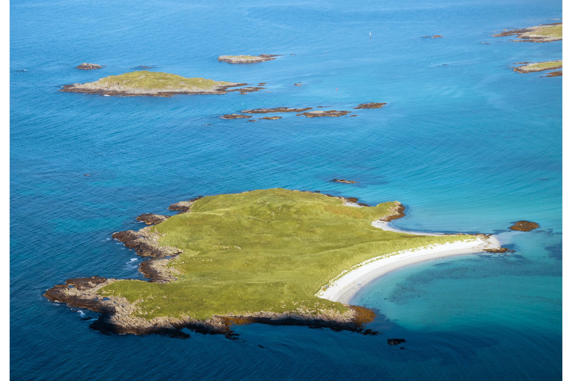
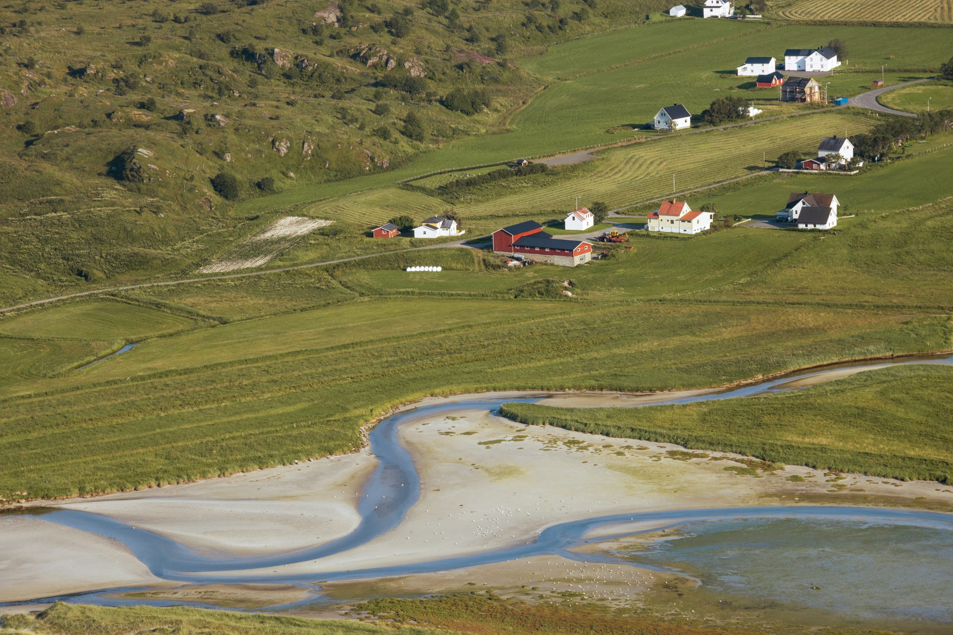
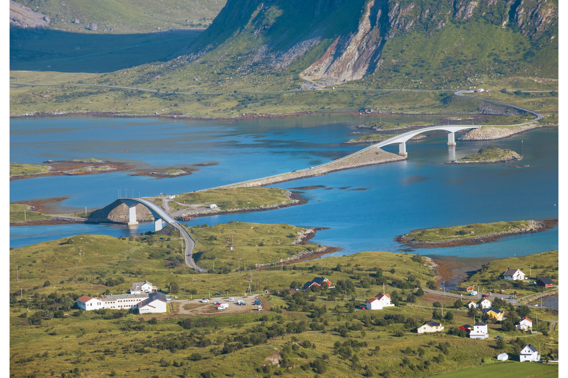
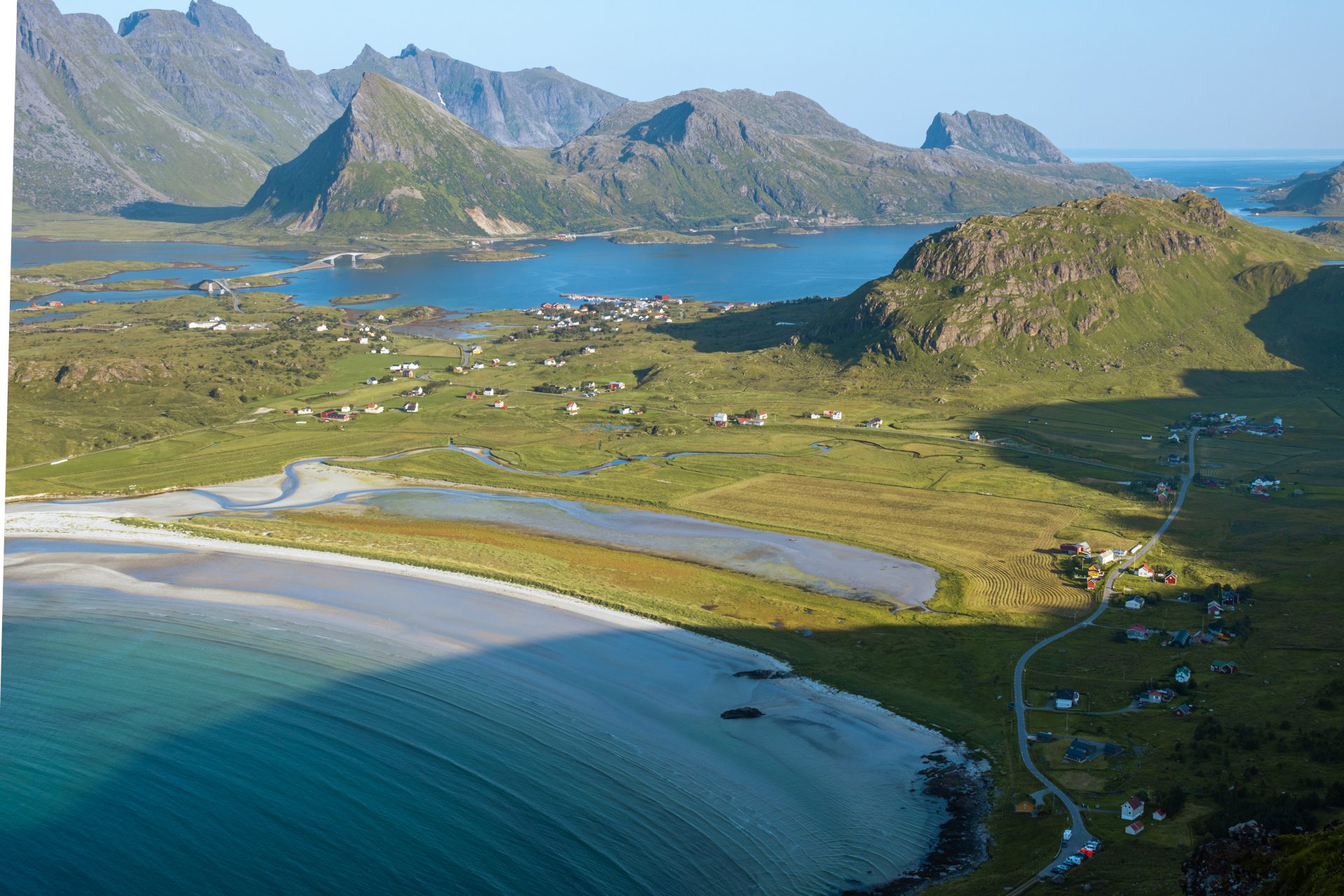
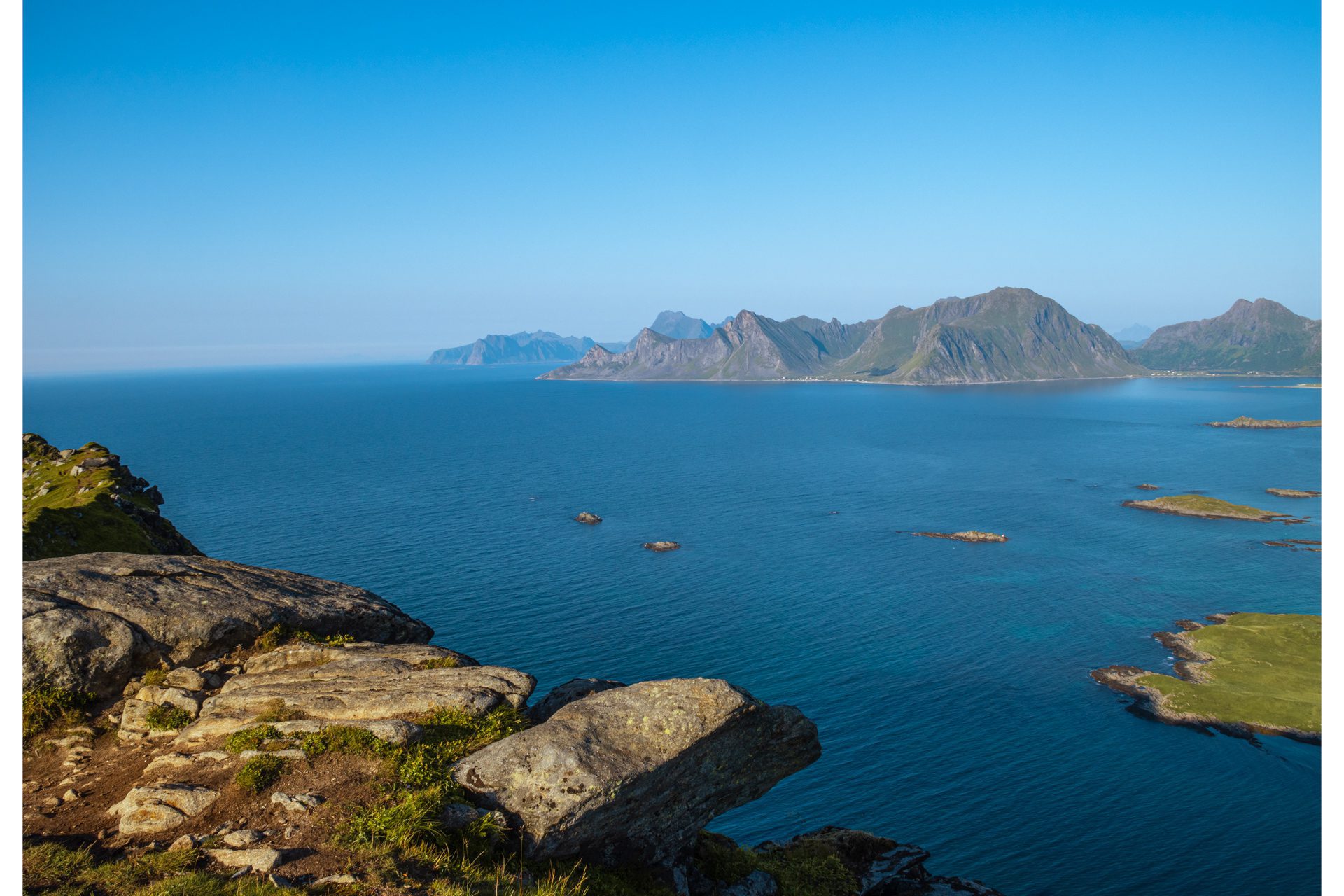
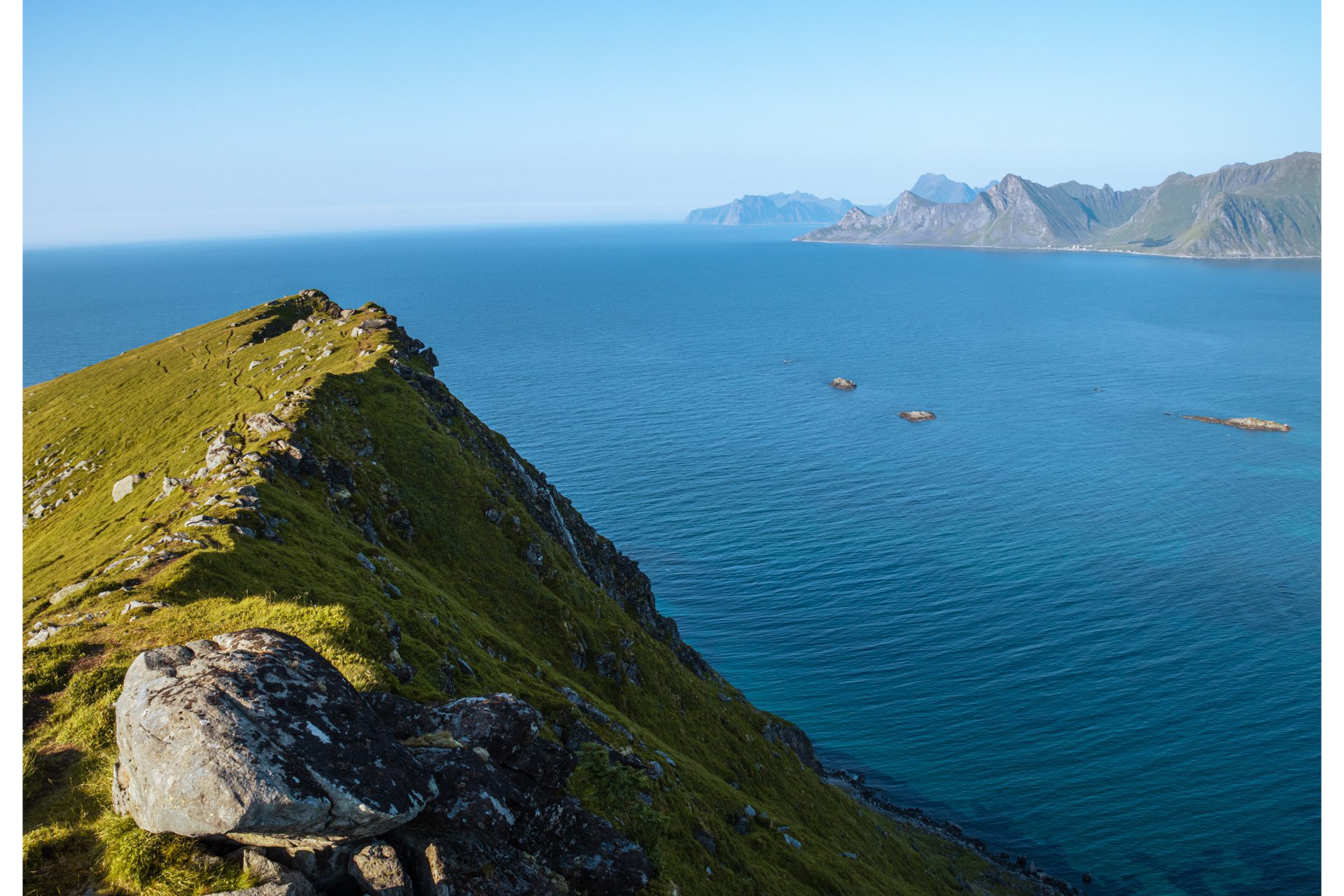
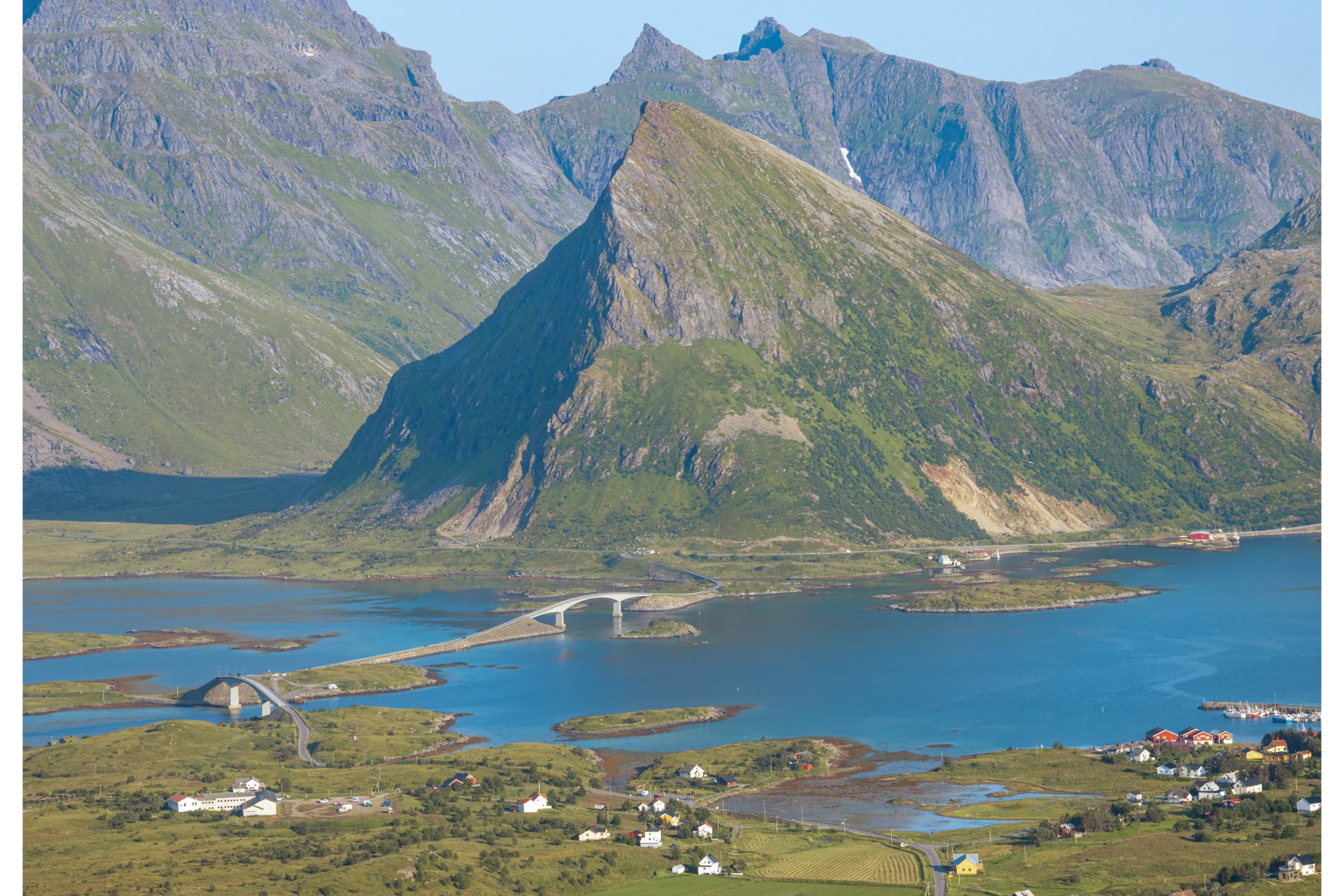
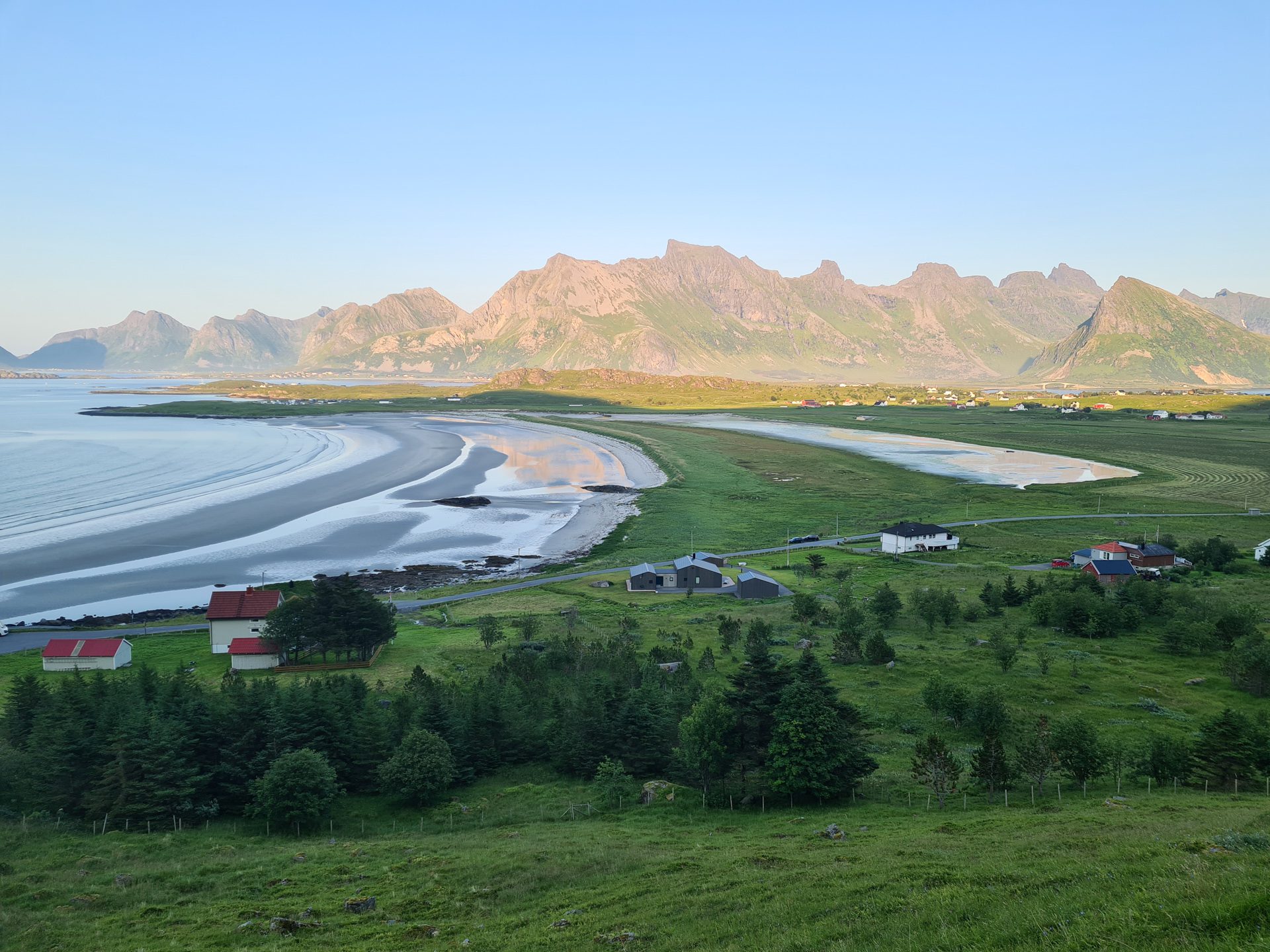
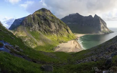
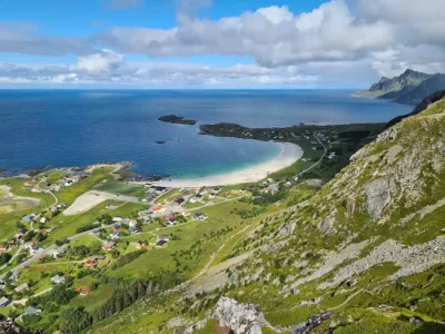
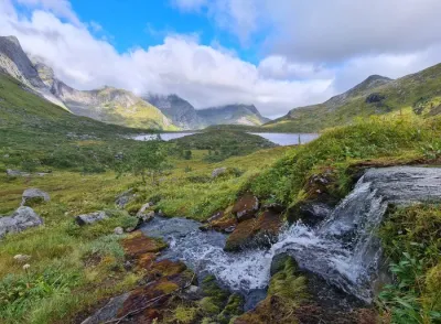
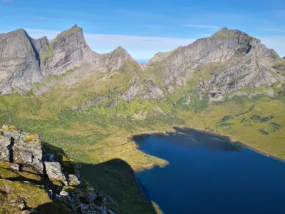
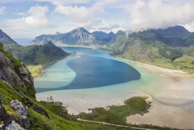
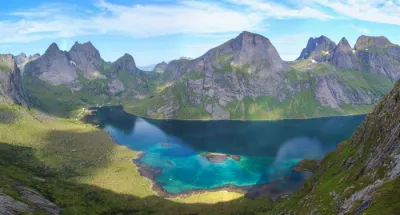
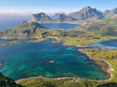
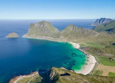
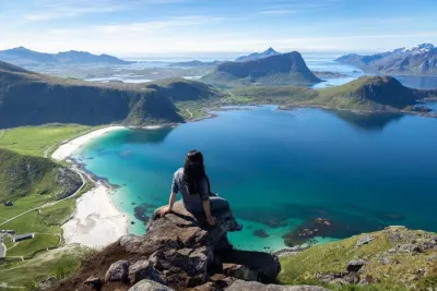
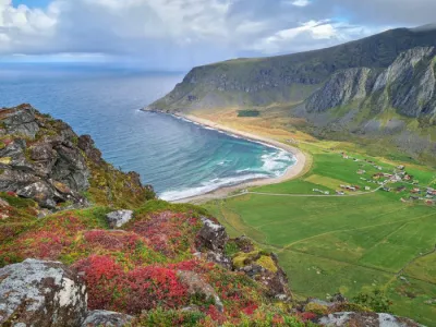
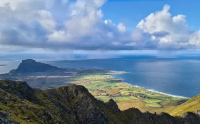
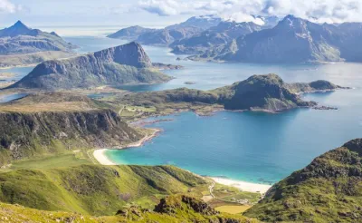
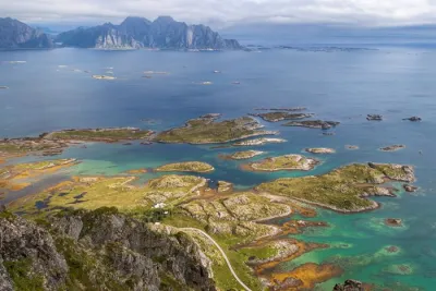
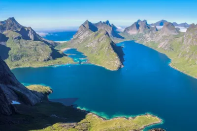
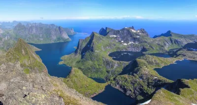
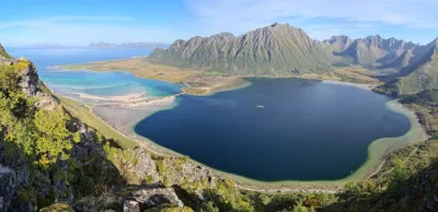
The hike to Røren takes you to the top of a modest 295-meter hill located on the northern tip of Moskenesøya Island in the Lofoten archipelago. This easy route offers magnificent views of Sandbotnen's white sandy beach, the turquoise waters of the Norwegian Sea, and the peaks of Flakstadøya Island.
Perfect for families, this short hike allows you to enjoy typical Lofoten panoramas with minimal effort.
Map and elevation profile of the hike
Røren Hike
Difficulties of the hike
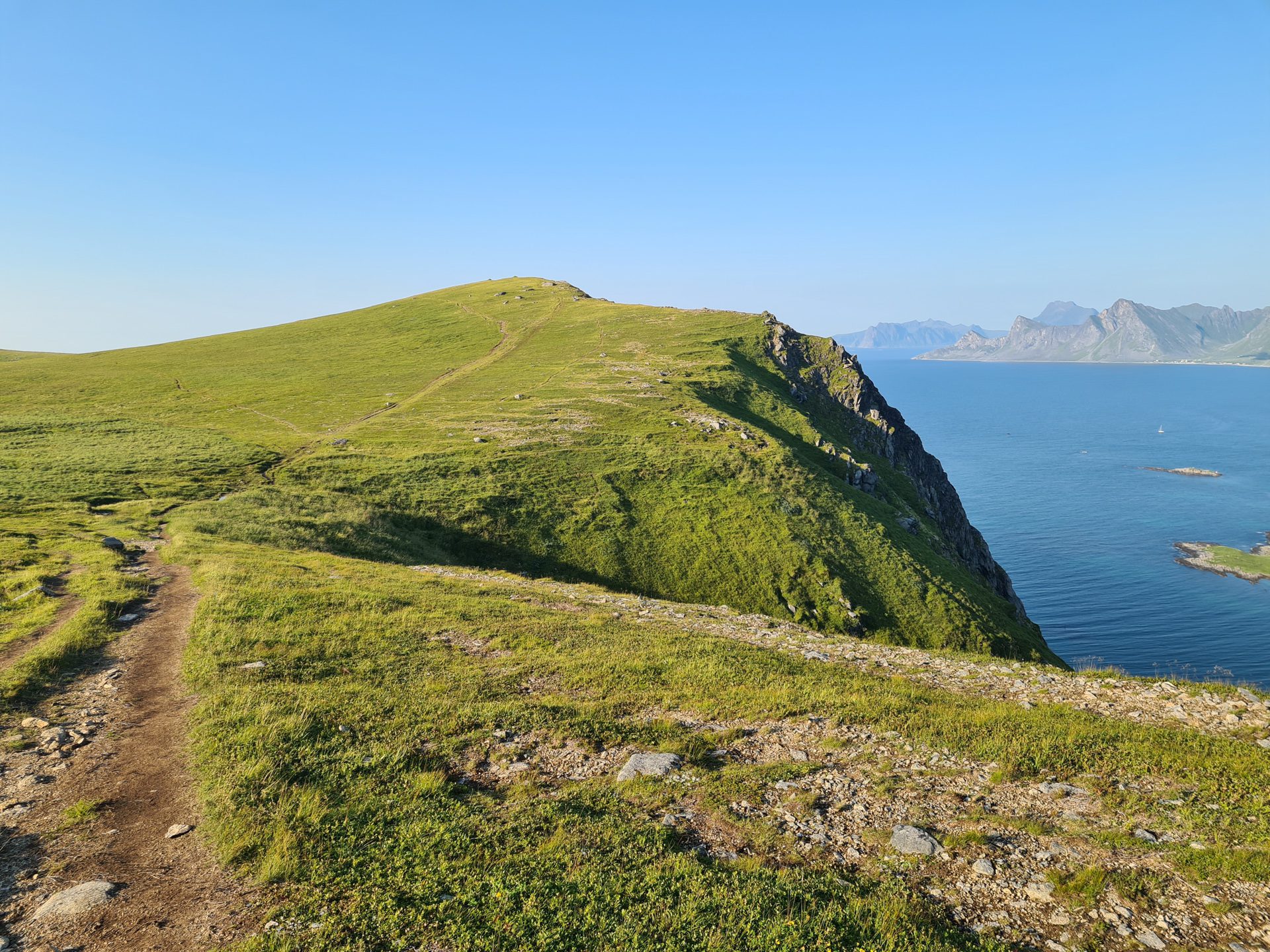
This hike presents no technical difficulties. The trail remains clearly visible all the way to the summit, making navigation easy. The ascent is steady and moderate. Once you reach the ridge, the terrain becomes flat and grassy, allowing for easy progress across the plateau.
What you'll love
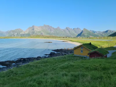
- Magnificent view from the start: The panorama unfolds from your first steps on Sandbotnen beach, with its turquoise waters and vast white sand expanse.
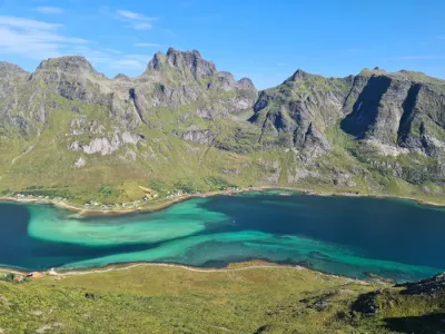
- Exceptional panorama from the summit: A breathtaking view of the mountains of Moskenesøya Island and the western part of Flakstadøya.
- The ideal plateau for relaxation: The vast plateau at the summit is the perfect place for a picnic or even a bivouac, with plenty of options for setting up camp.
Practical information
Departure
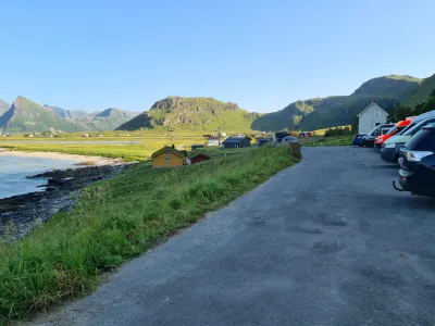
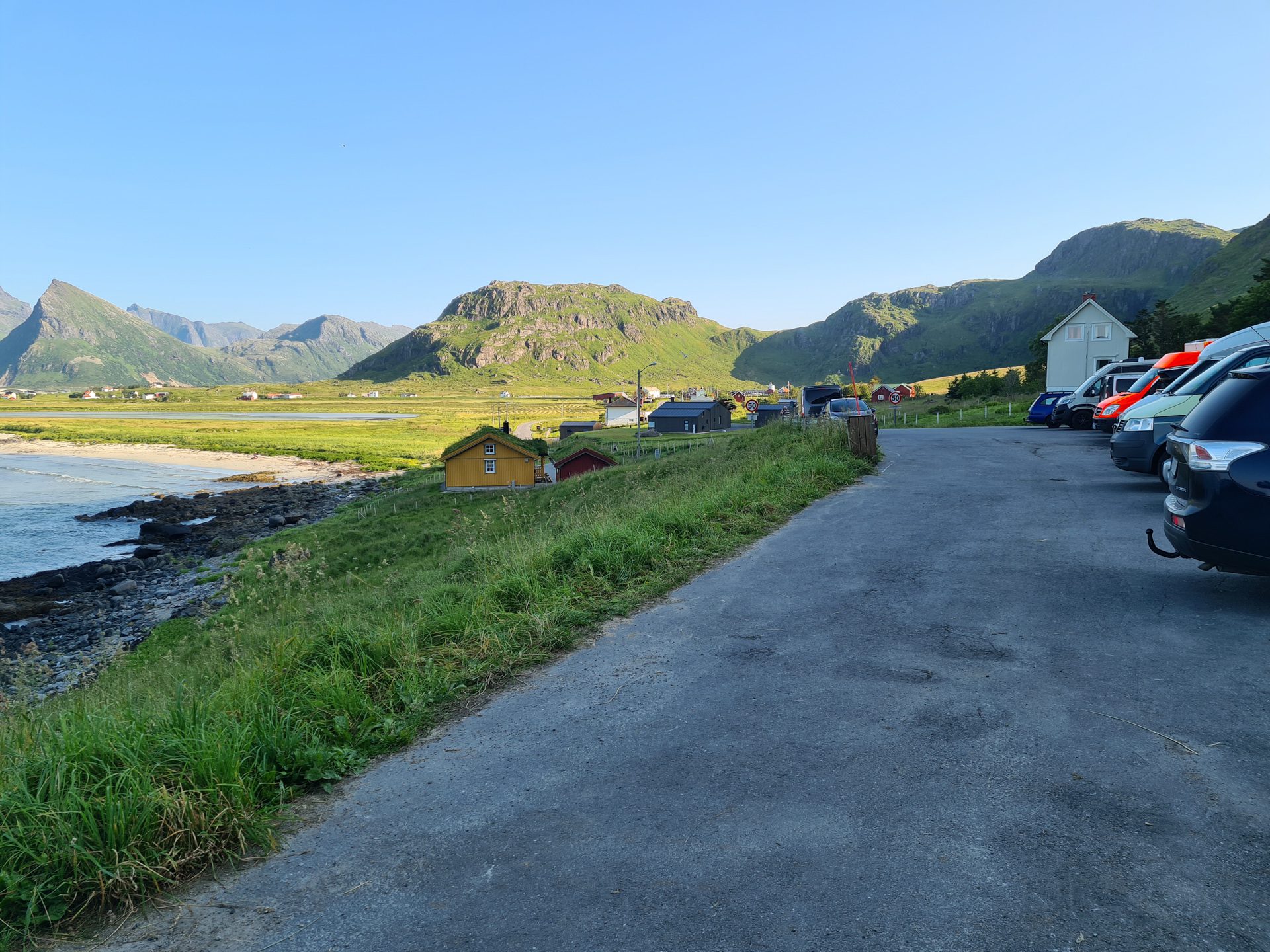
Free parking is available at the end of the road after the village of Yttersand. Parking is limited; an alternative lot is available near Innersand, at the start of the Ryten trail.
Best time to go
May to October on average. See the Norway FAQ for more details.
Extension
From Røren, you can continue hiking north along the ridge to reach Mulstøtinden (220 m), the northernmost point of Moskenesøya. Alternatively, you can descend through the Stokkvika valley to complete a loop.
Photos
See all 16 photos →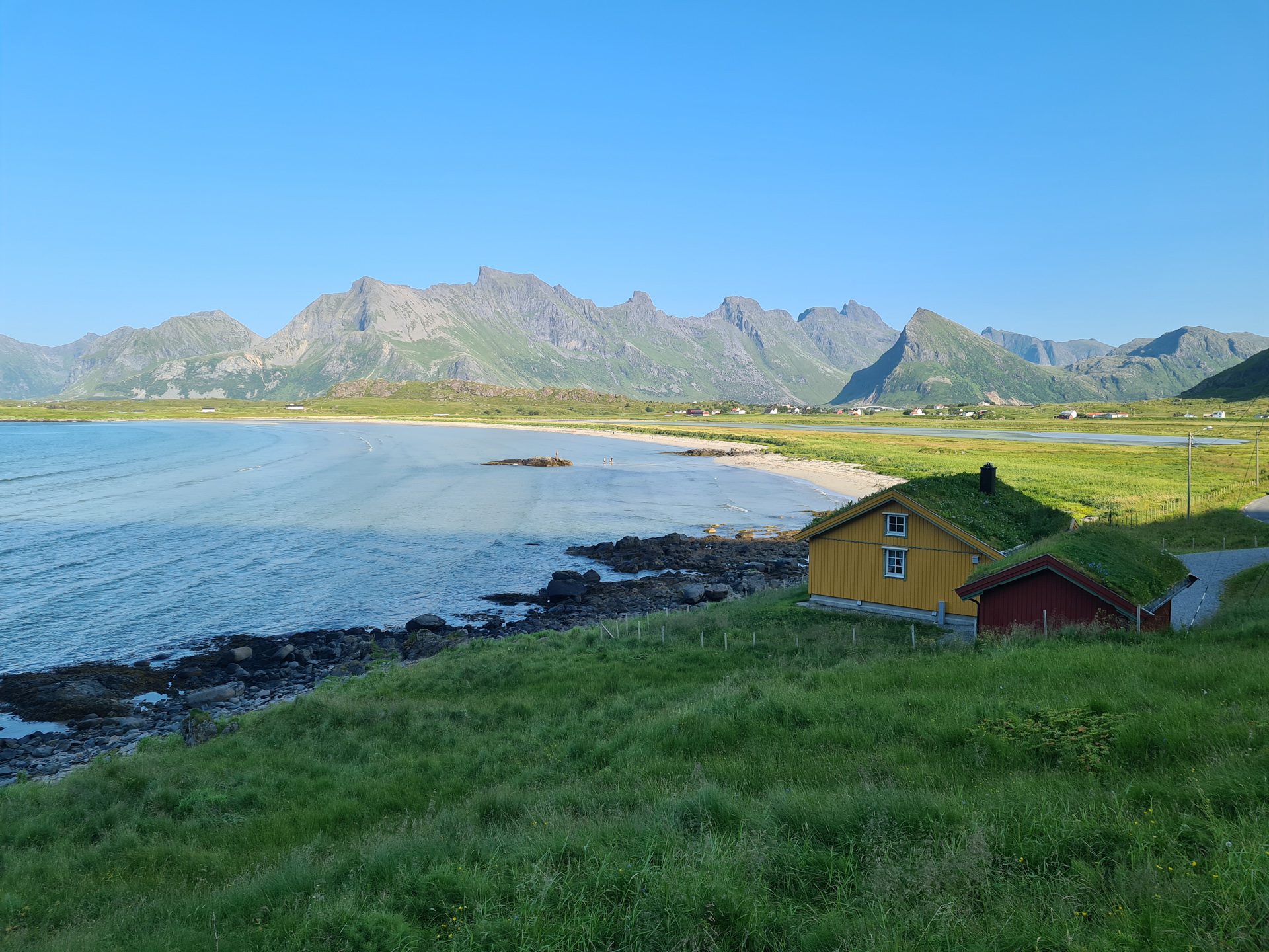
More hikes to do in Norway
Nearby hikes














Printed from www.horizonrando.fr/en/norway/roren/