





Kroktinden Hike
Key facts about the hike
- Difficulty
- Moderate Hikes are rated from very easy to very hard: my difficulty scale
- Duration
- 4h Estimated time, short breaks included (photos, water, snacks), picnic not included: how it is calculated
- Distance
- 8.3km
- out and back
- Elevation gain
- 680m
- Type of route
- Out and back
- Maximum altitude
- 709 m
- Vertiginous Five levels, depending on how exposed the route is: the levels in detail
- No
- Marked
- No
- Popularity
- Very low
- Island
- Austvågøya, Lofoten
- Start point
- 68.28758, 14.36125
- Activity
- Hiking
Hike overview
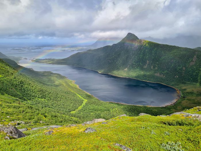
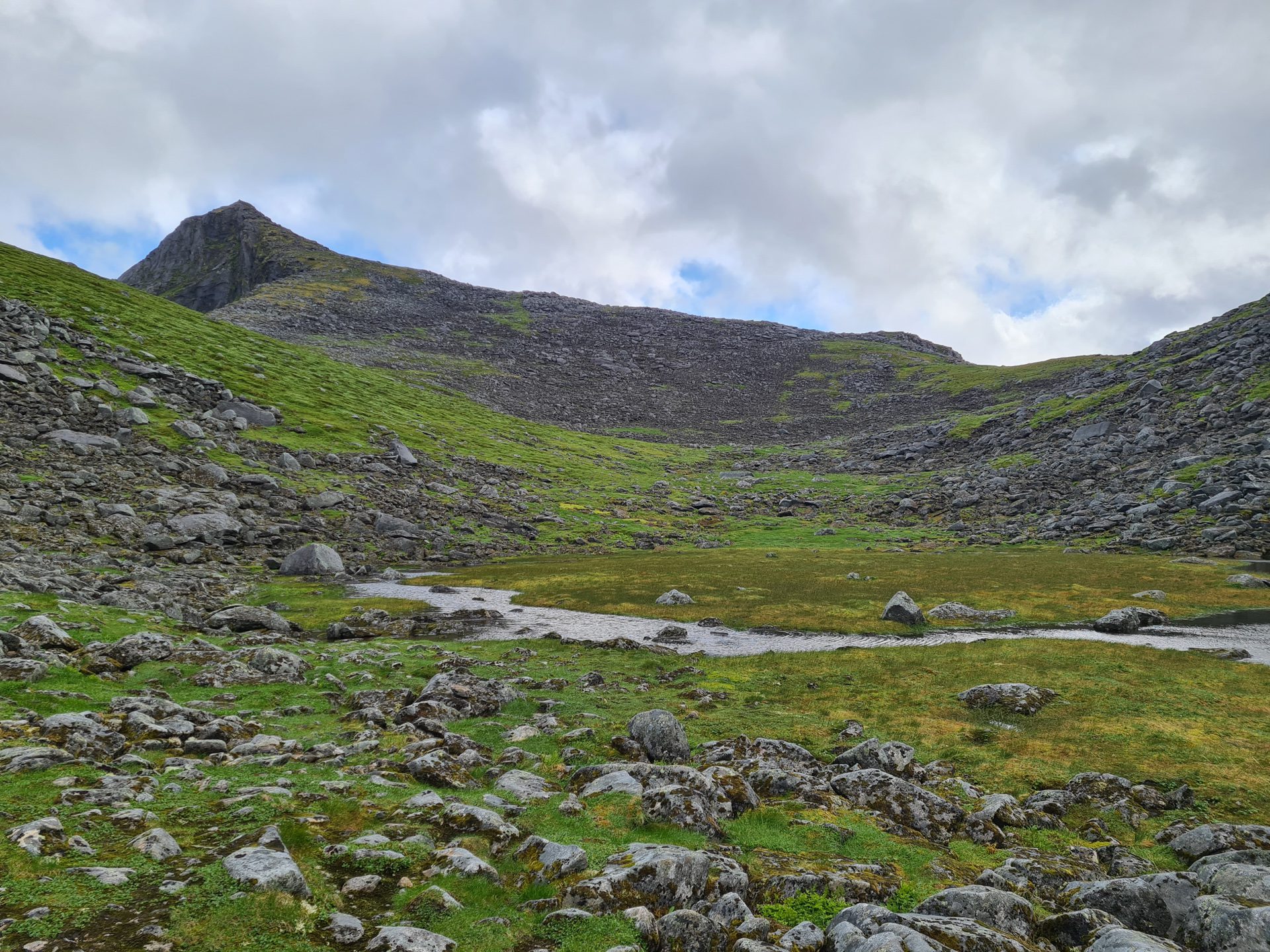
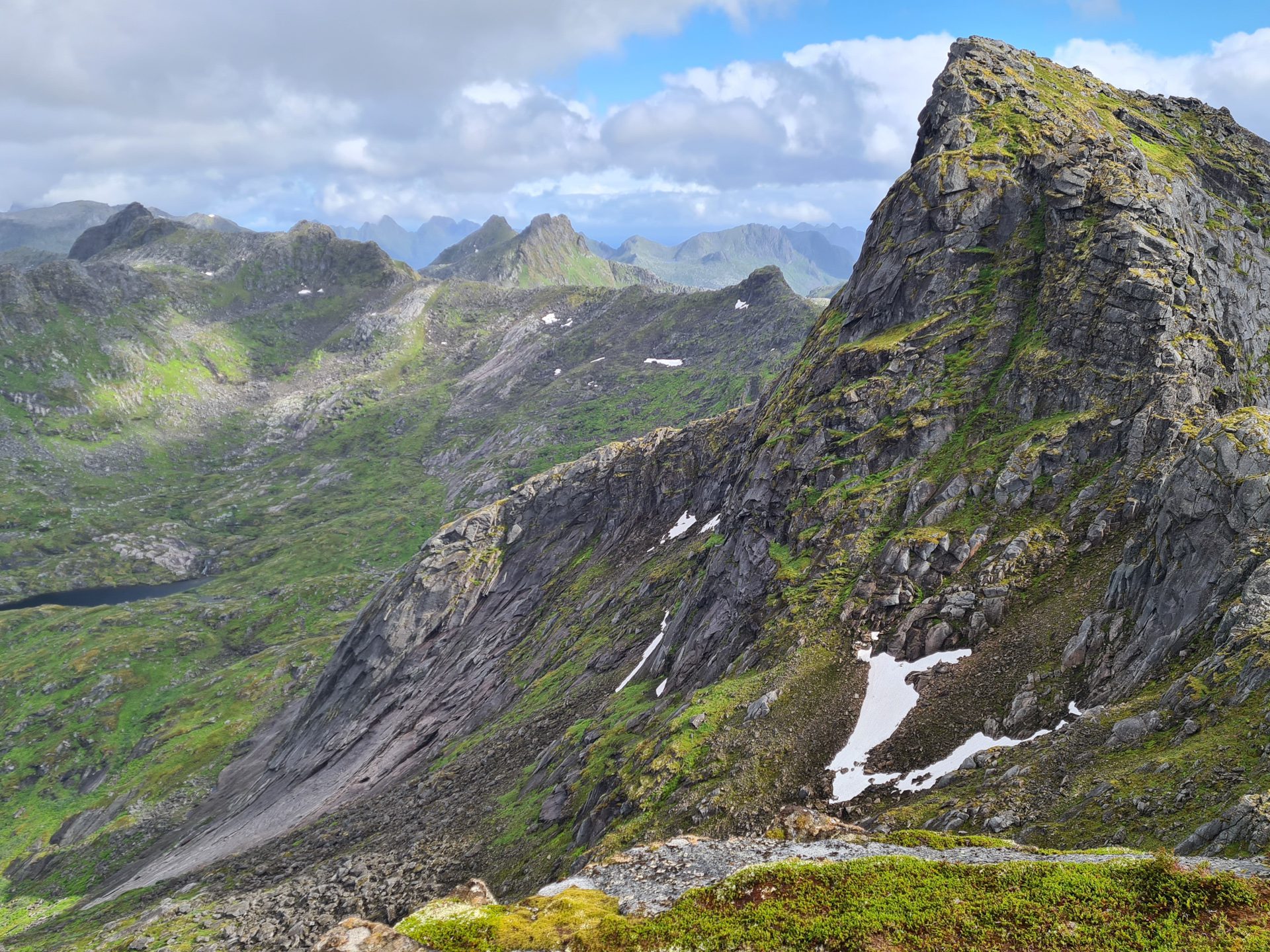
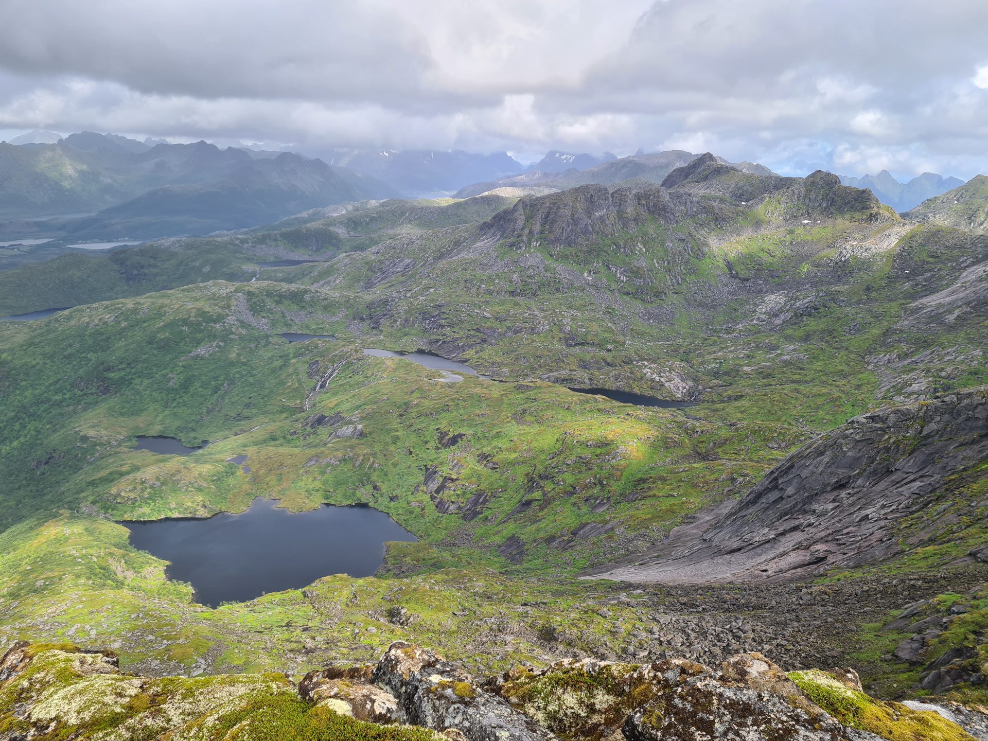
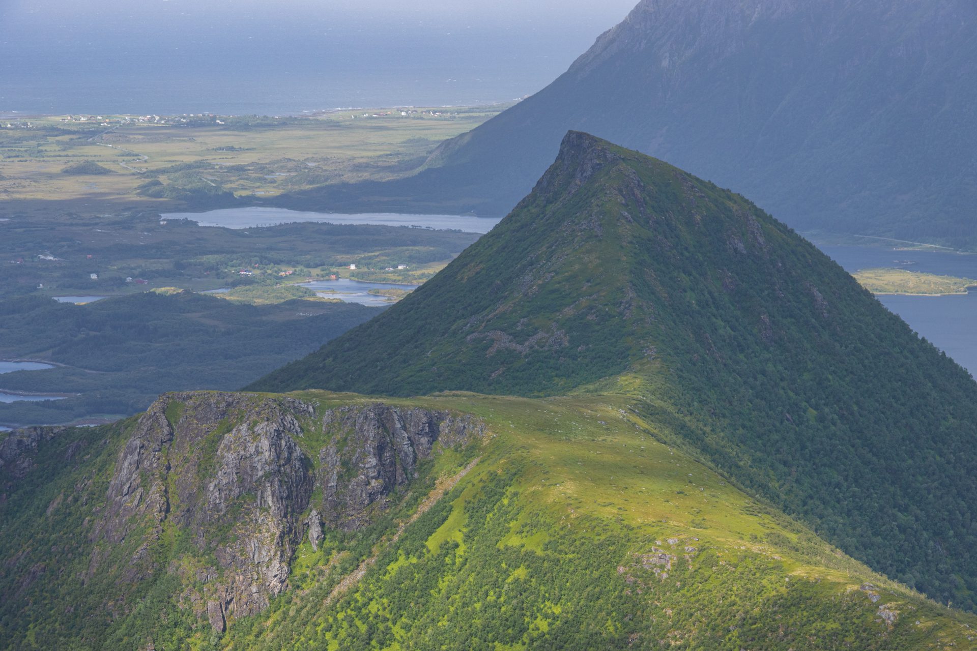
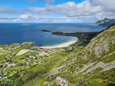
The hike up Kroktinden, which means "the hooked peak" in Norwegian, leads to the northern summit. The southern summit is significantly more technical. This beautiful, uncrowded hike is located northwest of Austvågøya Island in Norway and offers superb views throughout, as well as a magnificent 360-degree panorama at the summit.
This route is ideal if you are looking for a secluded hike without compromising on views.
Map and elevation profile of the hike
Kroktinden Hike
Difficulties of the hike
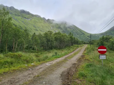
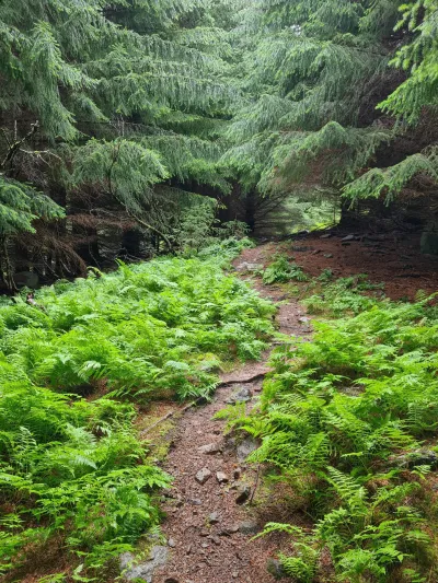
The trail is clearly visible for most of the hike and becomes slightly more discreet as you approach the summit. There are no technical difficulties or vertiginous passages.
What you'll love
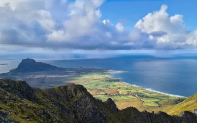
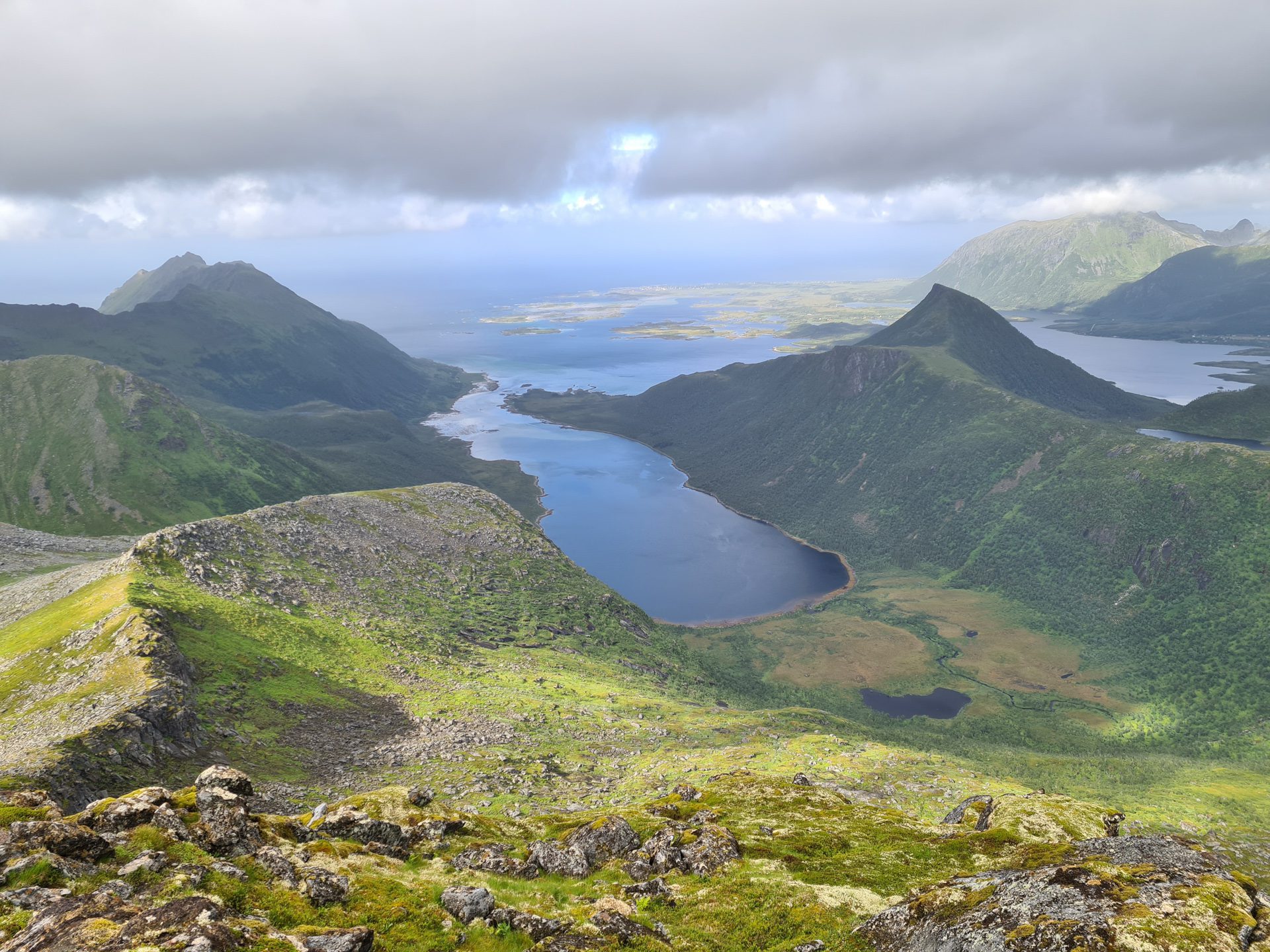
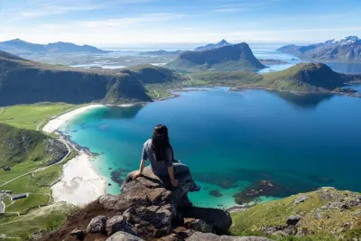
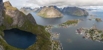
- A 360-degree panorama of the island of Austvågøya and the highest peaks of the Lofoten Islands at the summit.
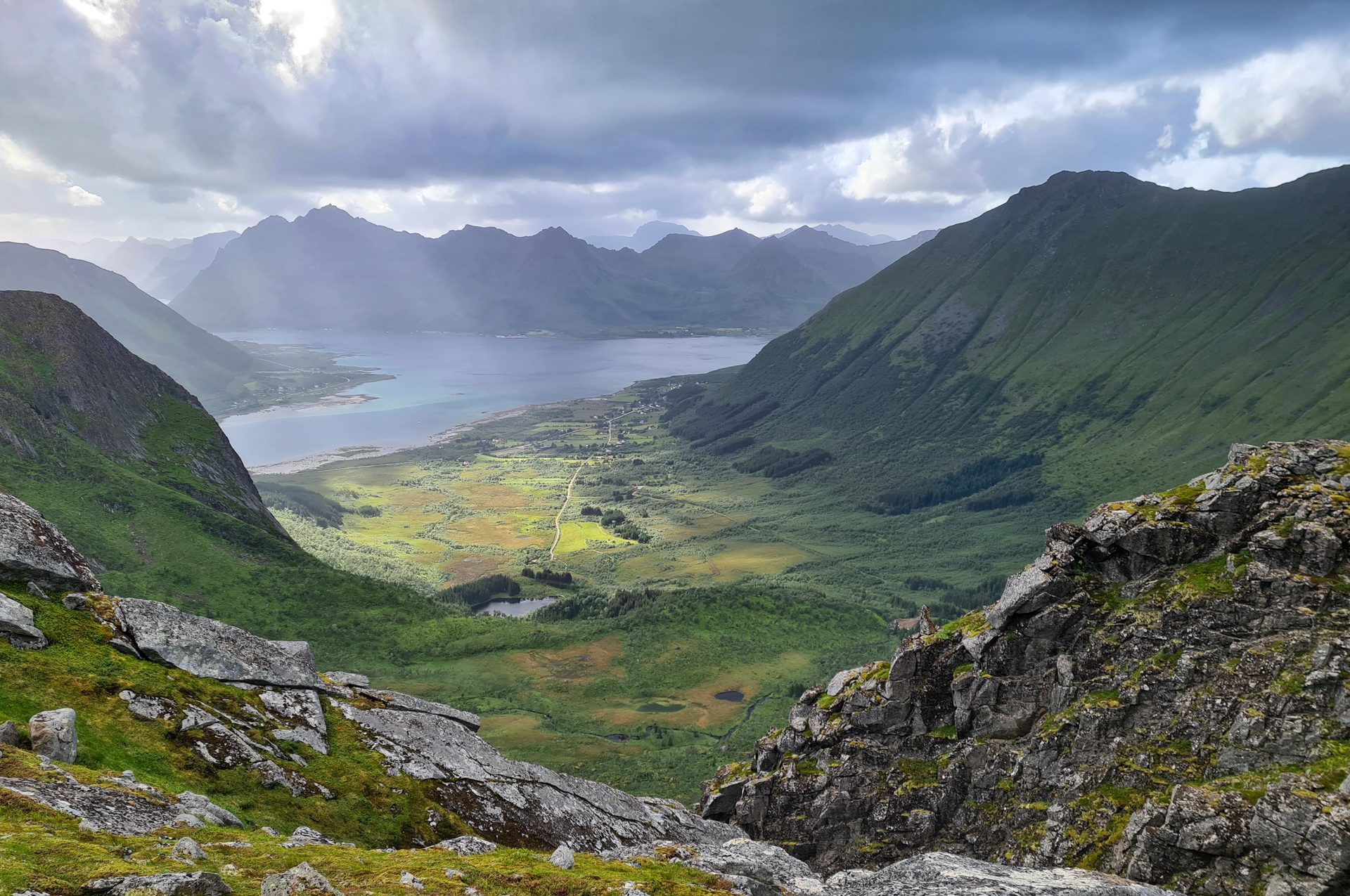
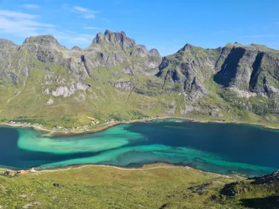
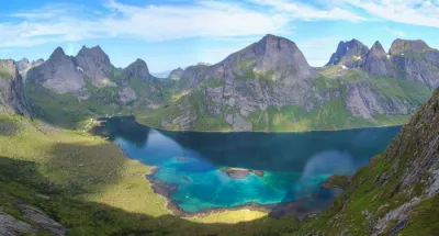
- The superb views of the Indrefjord and the eastern mountains, such as Matmora and Blålyngen, once you reach the pass.
- A wild, secluded hike that allows you to enjoy nature in complete tranquility.
Practical information
Parking
In Sydalen, take the unpaved road on your right towards the bottom of the valley. After about one kilometer, you will find a parking lot near the cemetery.
Best time to go
Mid-June to September on average. See the Norway FAQ for more details.
Photos
See all 10 photos →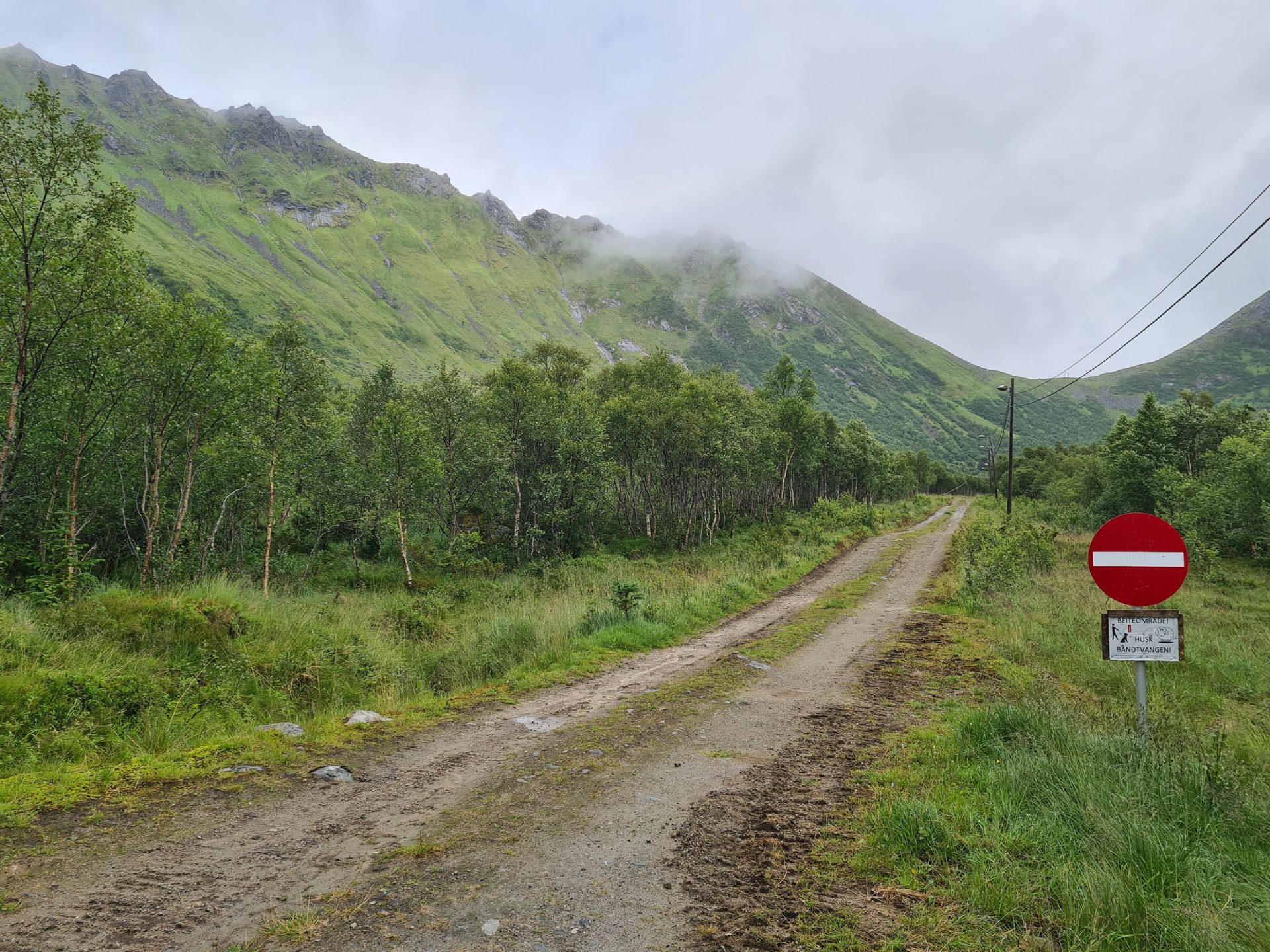
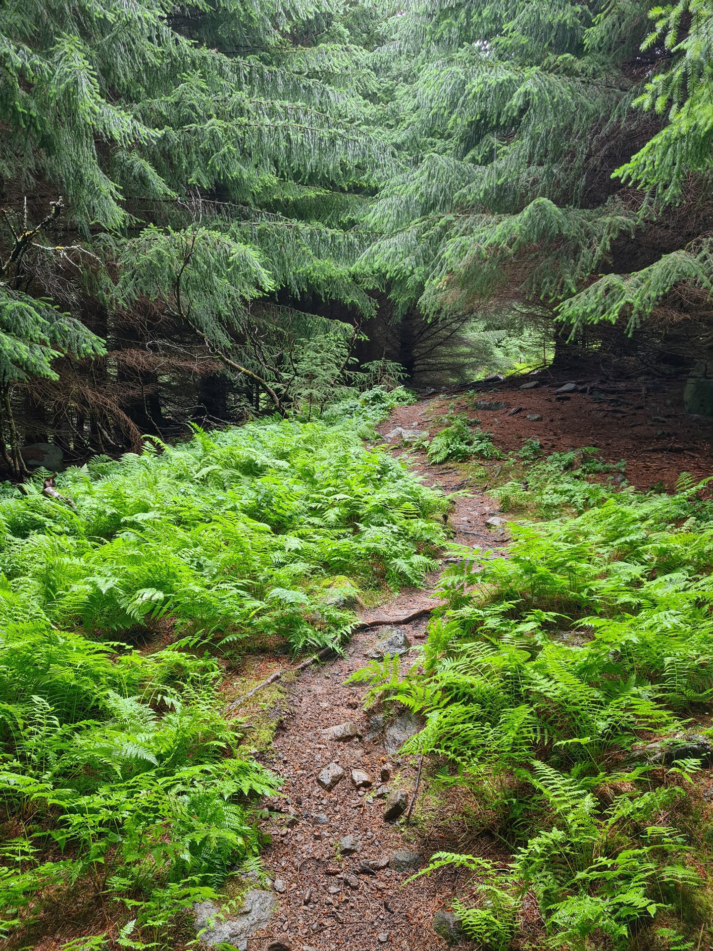
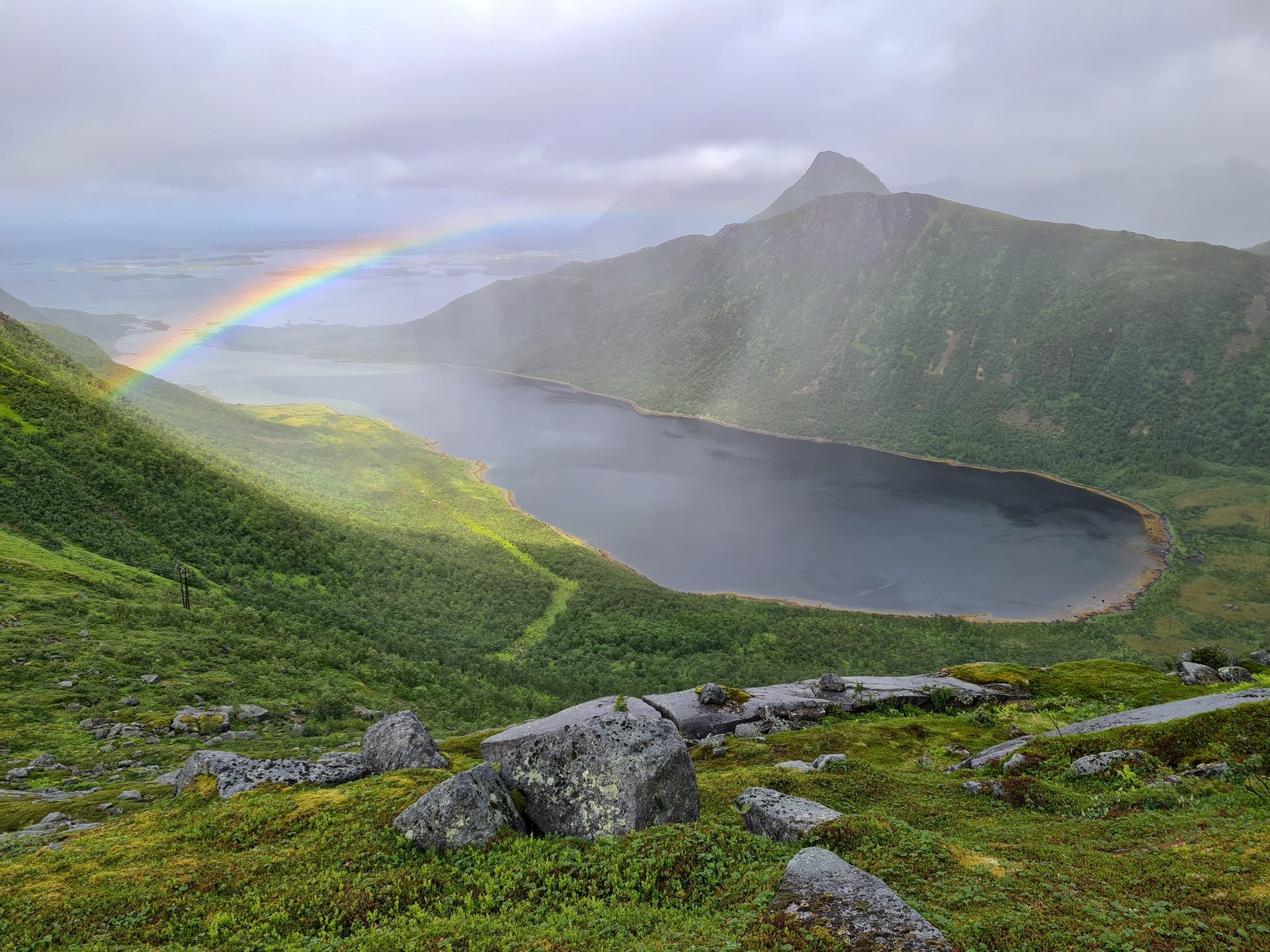
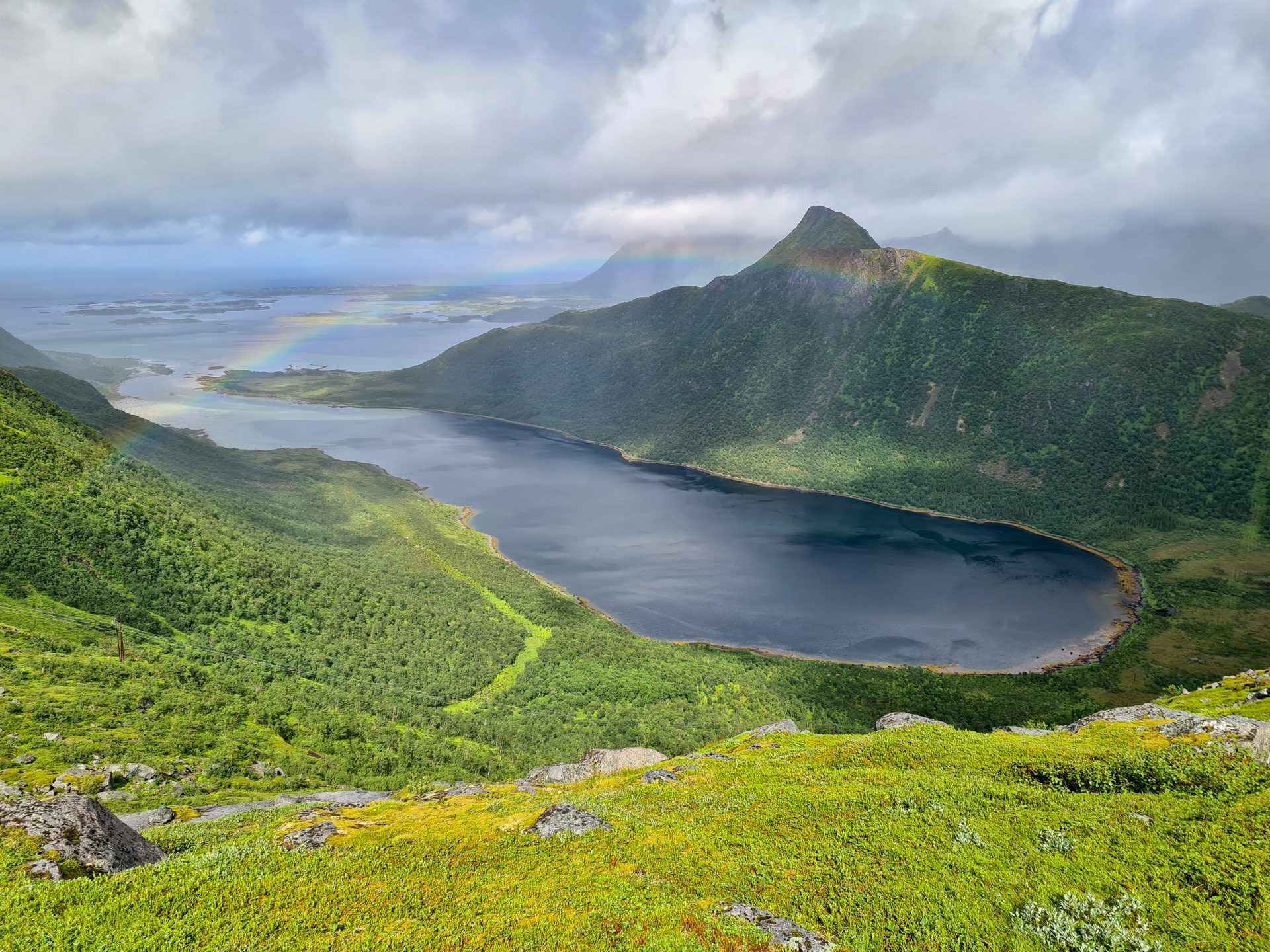
More hikes to do in Norway
Nearby hikes















Printed from www.horizonrando.fr/en/norway/kroktinden/