





Volandstinden Hike
Key facts about the hike
- Difficulty
- Easy Hikes are rated from very easy to very hard: my difficulty scale
- Duration
- 2h30 Estimated time, short breaks included (photos, water, snacks), picnic not included: how it is calculated
- Distance
- 5.2km
- out and back
- Elevation gain
- 480m
- Type of route
- Out and back
- Maximum altitude
- 457 m
- Vertiginous Five levels, depending on how exposed the route is: the levels in detail
- No
- Marked
- No
- Popularity
- Moderate
- Island
- Flakstadøya, Lofoten
- Start point
- 68.06543, 13.23760
- Activity
- Hiking
Hike overview
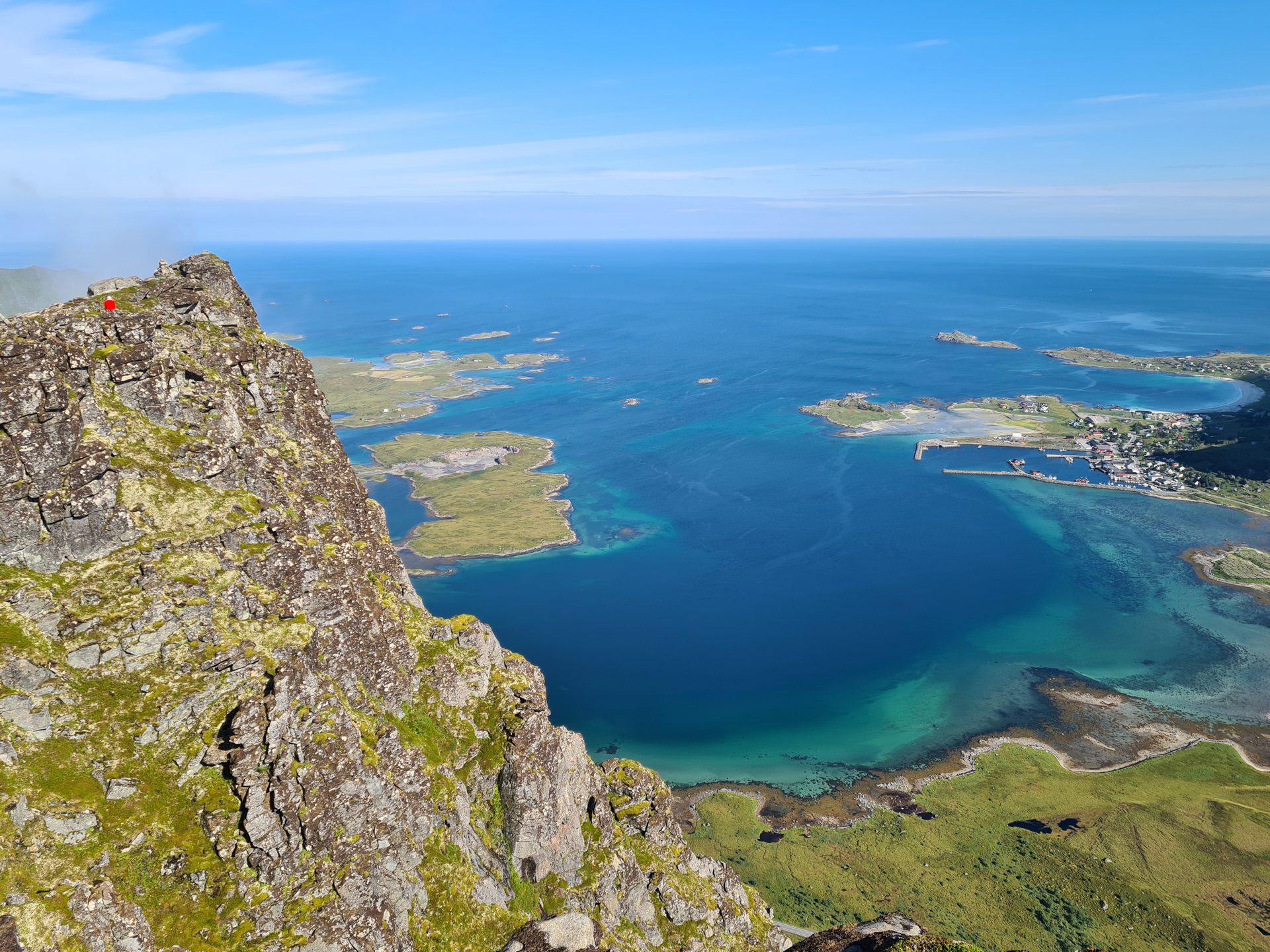
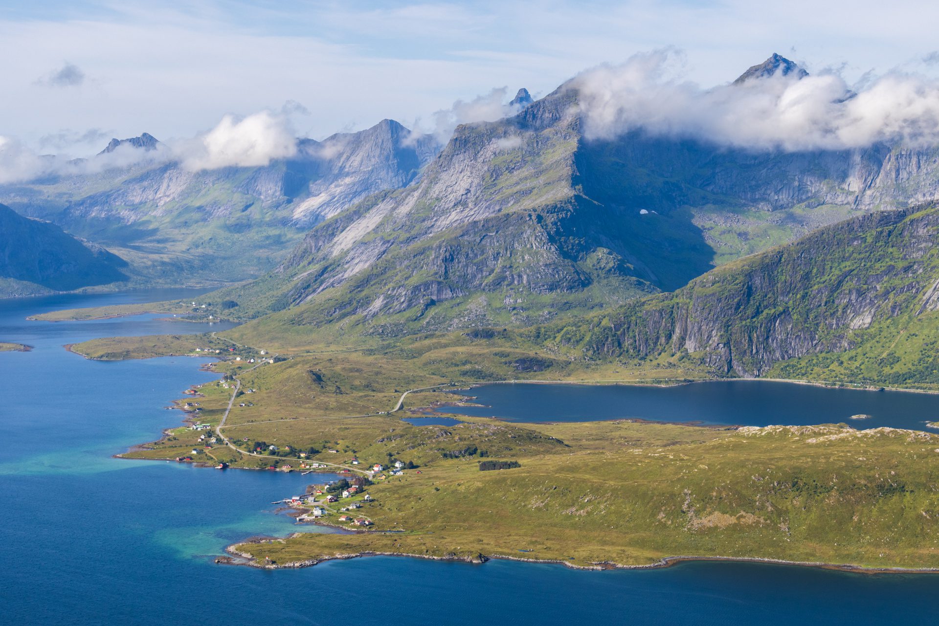
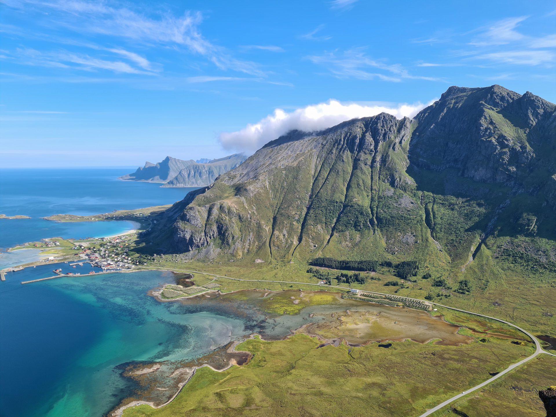
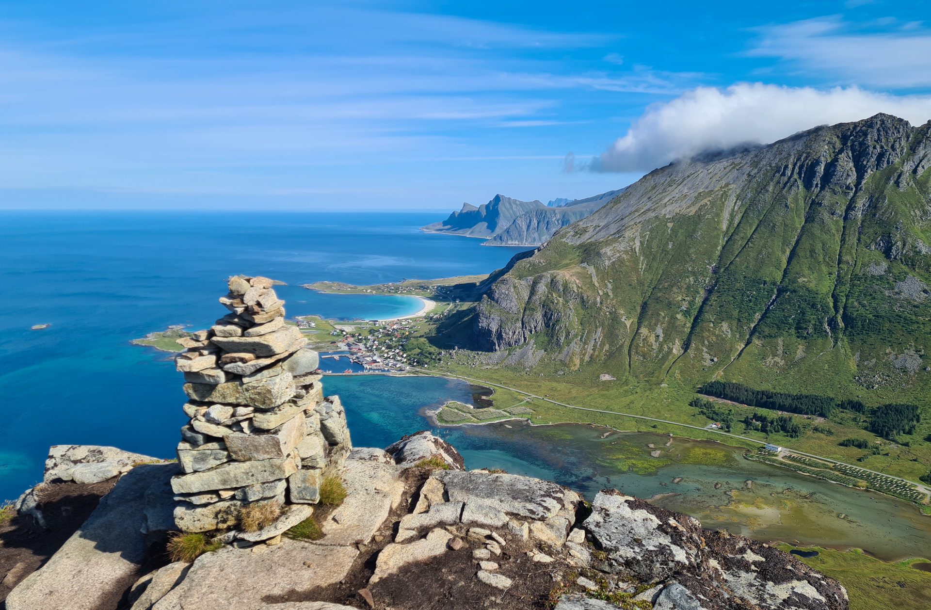
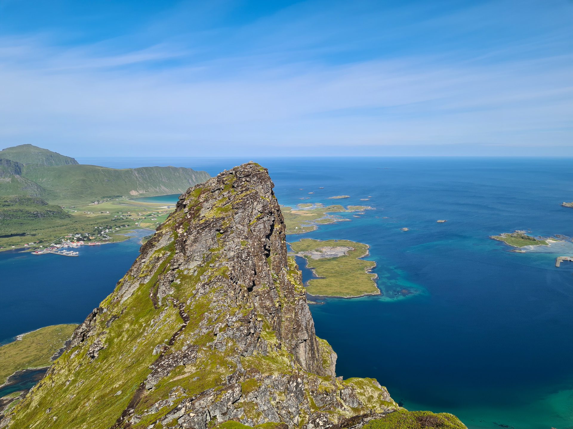
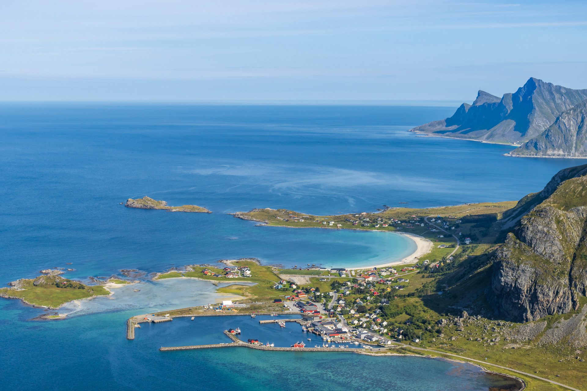
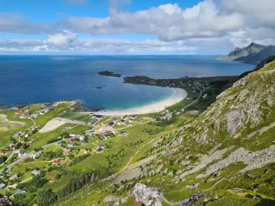
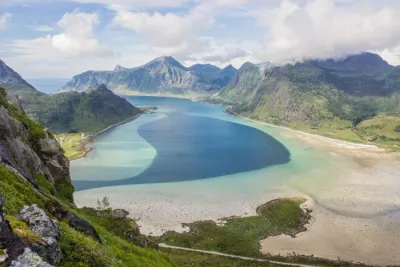
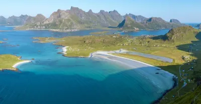
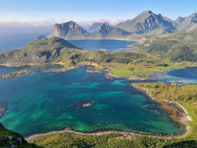
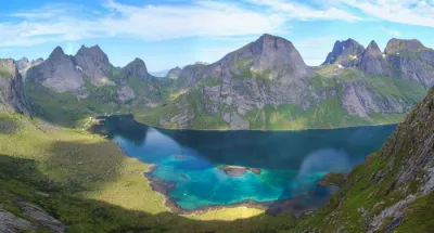
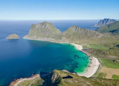
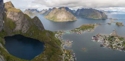
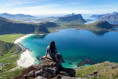
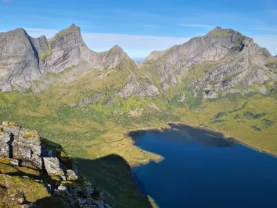
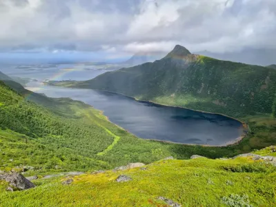
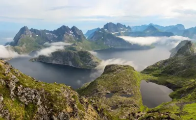
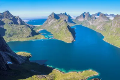
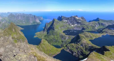
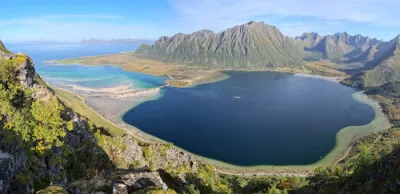
The hike up Volandstinden (457 m) is one of the most popular in the Lofoten Islands. It is nicknamed "the shark fin" because of its slender shape. From the summit, hikers can take in the impressive peaks of the northern part of Moskenesøya Island, turquoise fjords, and Ramberg Bay. Despite its intimidating appearance from the road, this hike is one of the most accessible in the Lofoten Islands.
Map and elevation profile of the hike
Volandstinden Hike
Difficulties of the hike
The hike follows a well-defined trail to the summit, which is quite rare in the archipelago. Although the ascent is continuous, the slopes are relatively gentle compared to the Lofoten standard.
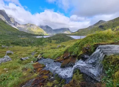
The first part is often wet, so waterproof shoes are recommended. The terrain then becomes rockier and dotted with large boulders. This section requires some caution but is not technically difficult.
What you'll love
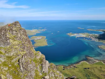
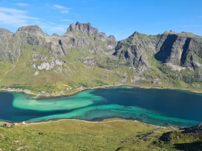
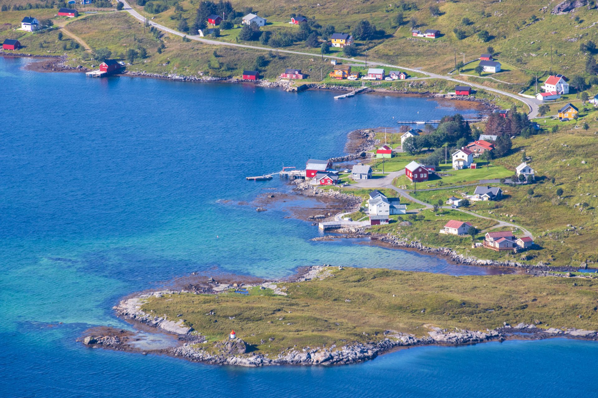
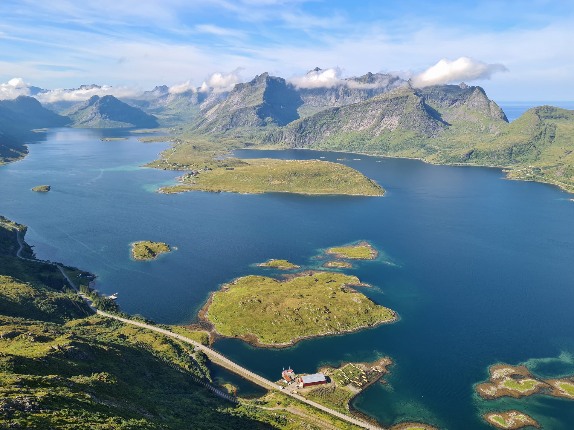
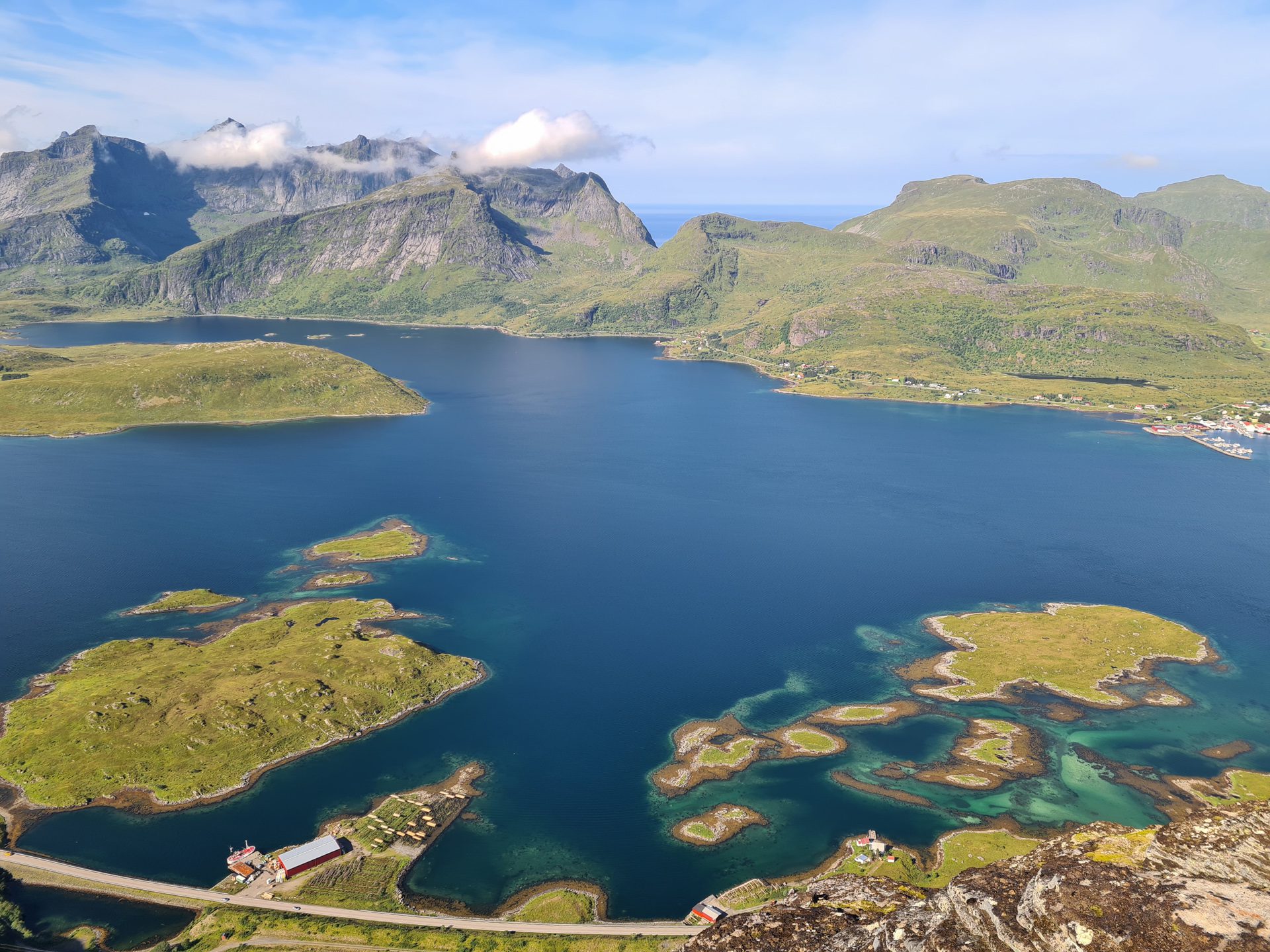
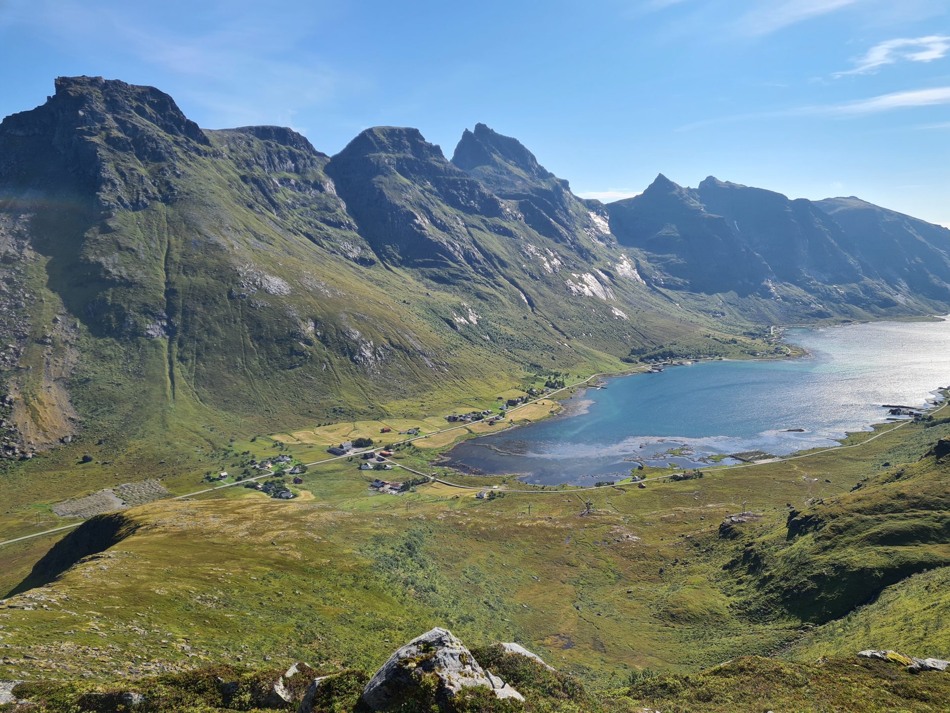
- The exceptional views of the Skjelfjord and the highest peaks of Flakstadøya island along the route.
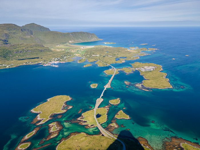
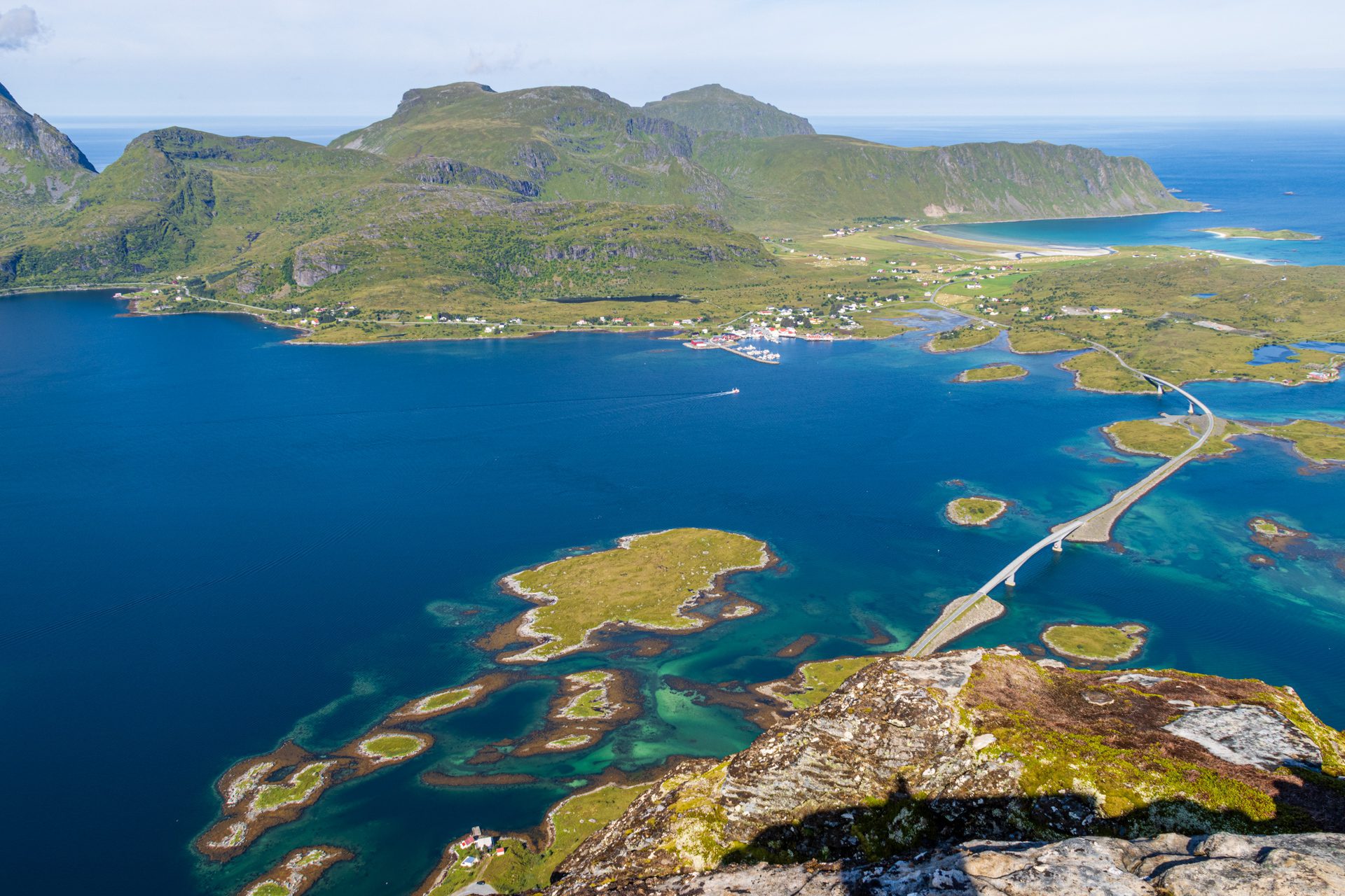
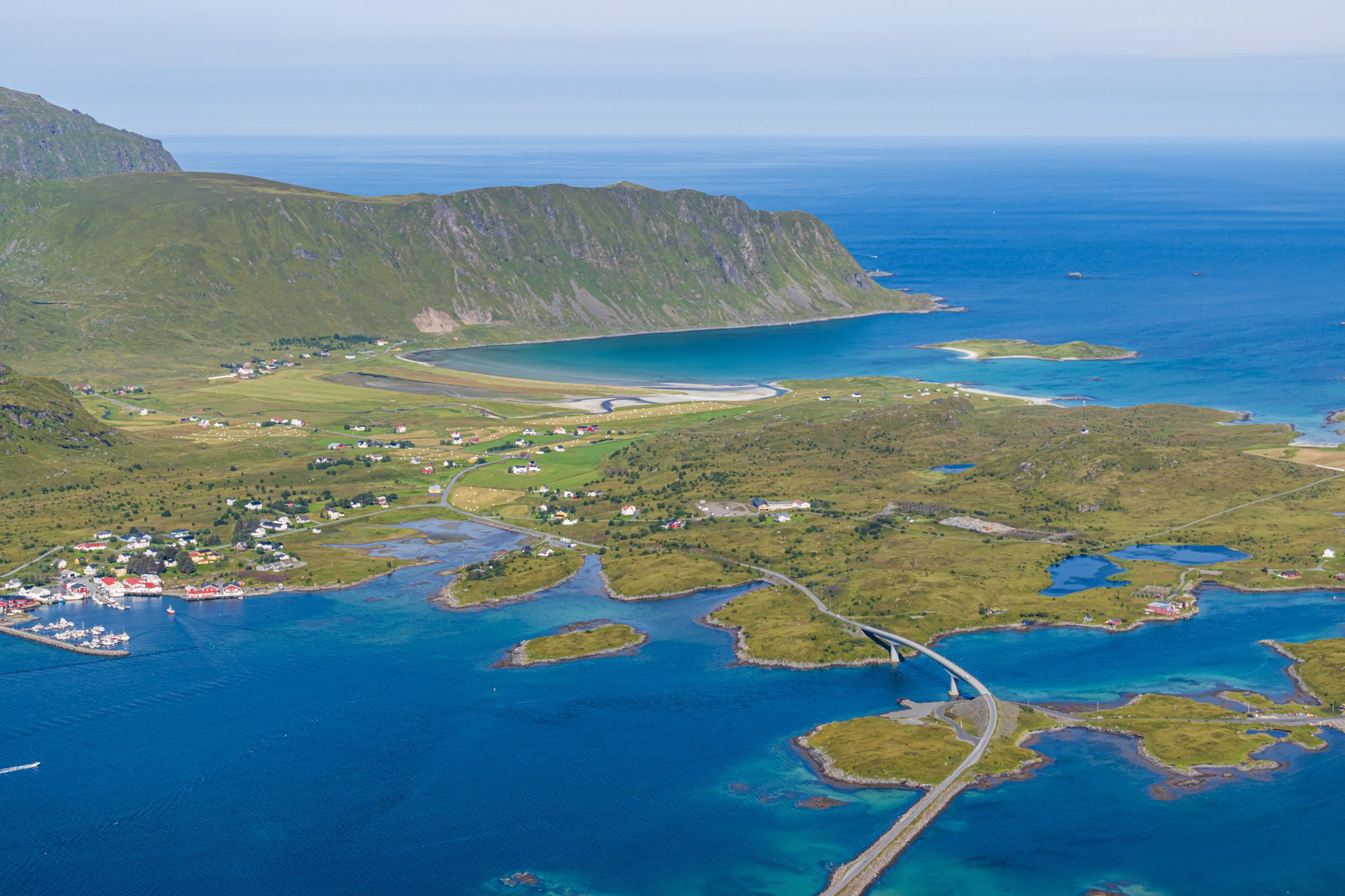
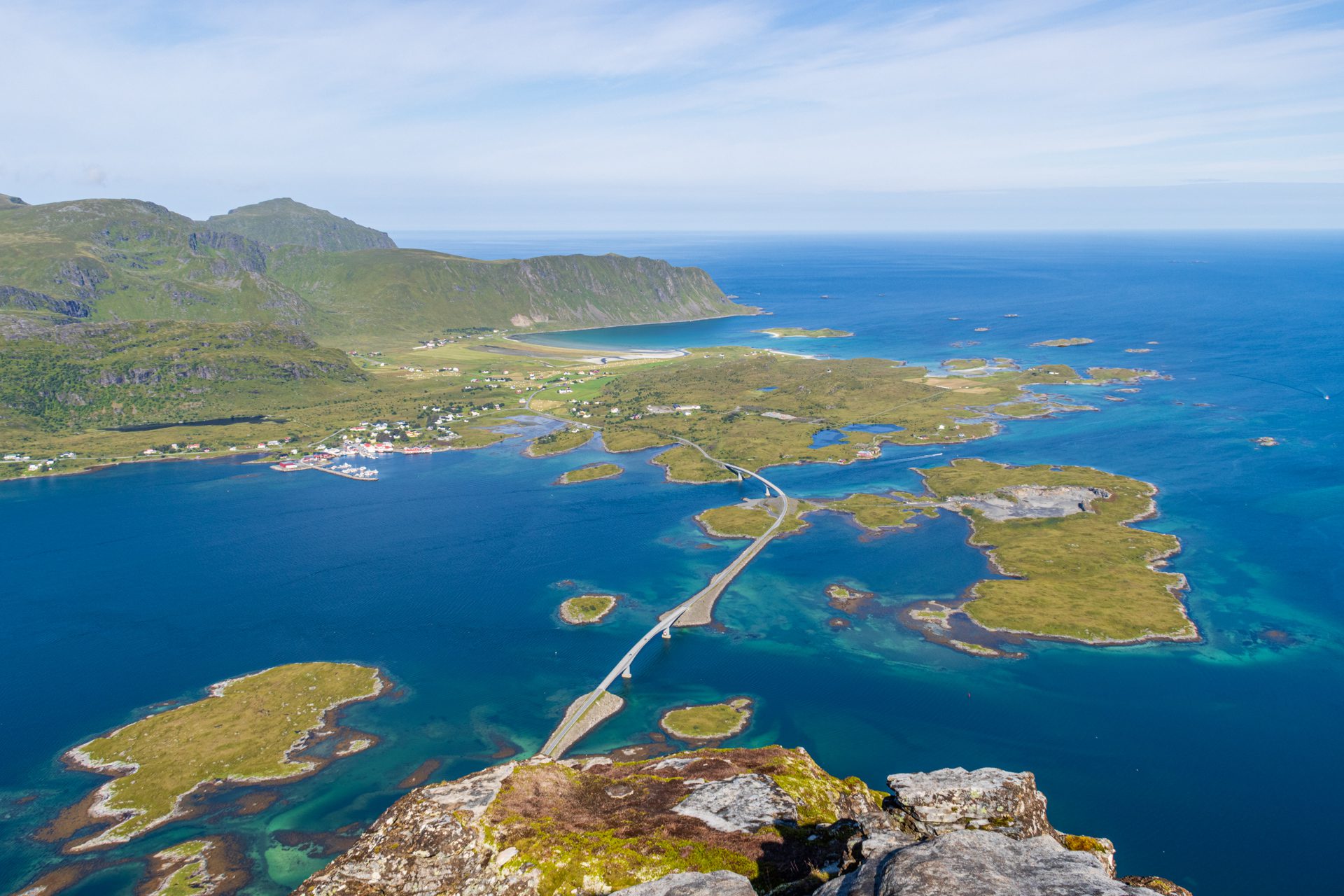
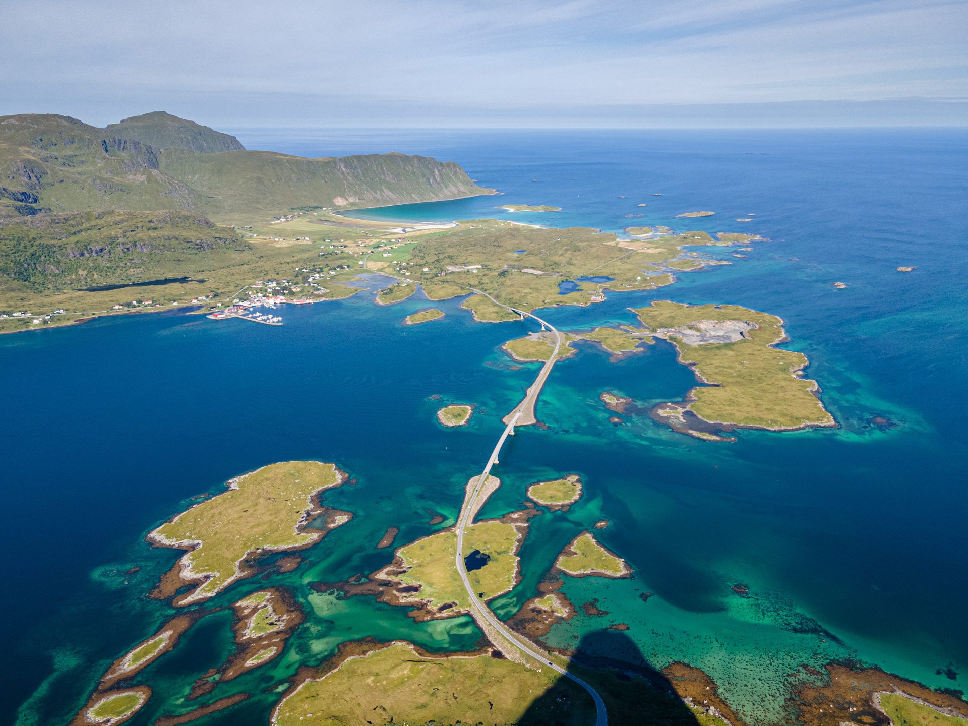
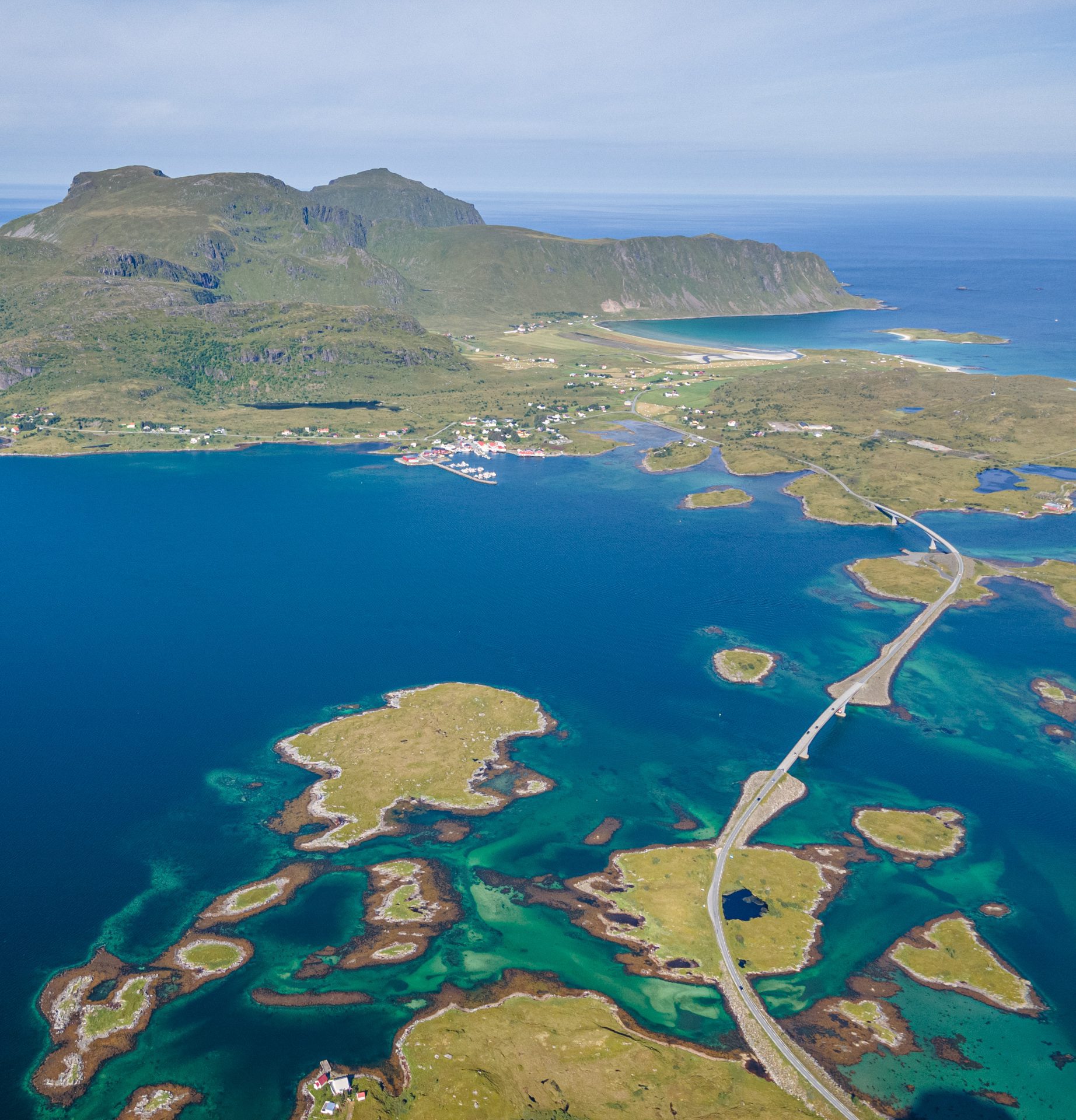
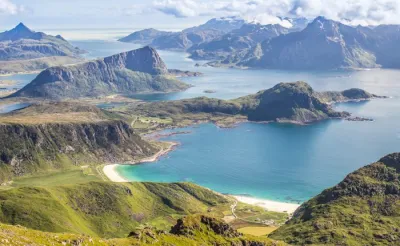
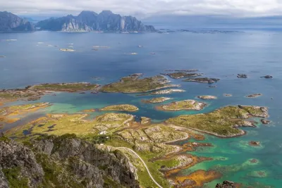
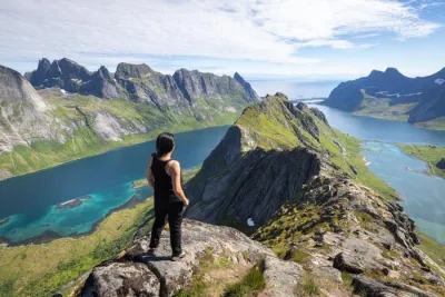
- The 360° panorama from the summit reveals spectacular views of the Skjelfjord and Selfjord, as well as a direct view of the Fredvang bridges stretching over the turquoise waters.
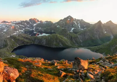
- A great spot to watch the midnight sun or an unforgettable sunset.
Practical information
Best time to go
June to mid-October on average. See the Norway FAQ for more details.
Multiple summits
Volandstinden consists of three similar-height peaks. The trail to the northernmost peak is moderately vertiginous. It is advisable to avoid it with young children or if you are afraid of heights. Everyone else shouldn't miss it, though, as it offers the most spectacular view.
Photos
See all 16 photos →
More hikes to do in Norway
Nearby hikes















Printed from www.horizonrando.fr/en/norway/volandstinden/