





Narvtinden Hike
Key facts about the hike
- Difficulty
- Hard Hikes are rated from very easy to very hard: my difficulty scale
- Duration
- 5h Estimated time, short breaks included (photos, water, snacks), picnic not included: how it is calculated
- Distance
- 6.9km
- out and back
- Elevation gain
- 850m
- Type of route
- Out and back
- Maximum altitude
- 688 m
- Vertiginous Five levels, depending on how exposed the route is: the levels in detail
- Moderately/Highly
- Marked
- No
- Popularity
- Low
- Island
- Moskenesøya, Lofoten
- Start point
- 68.00983, 13.16607
- Activity
- Hiking
Hike overview
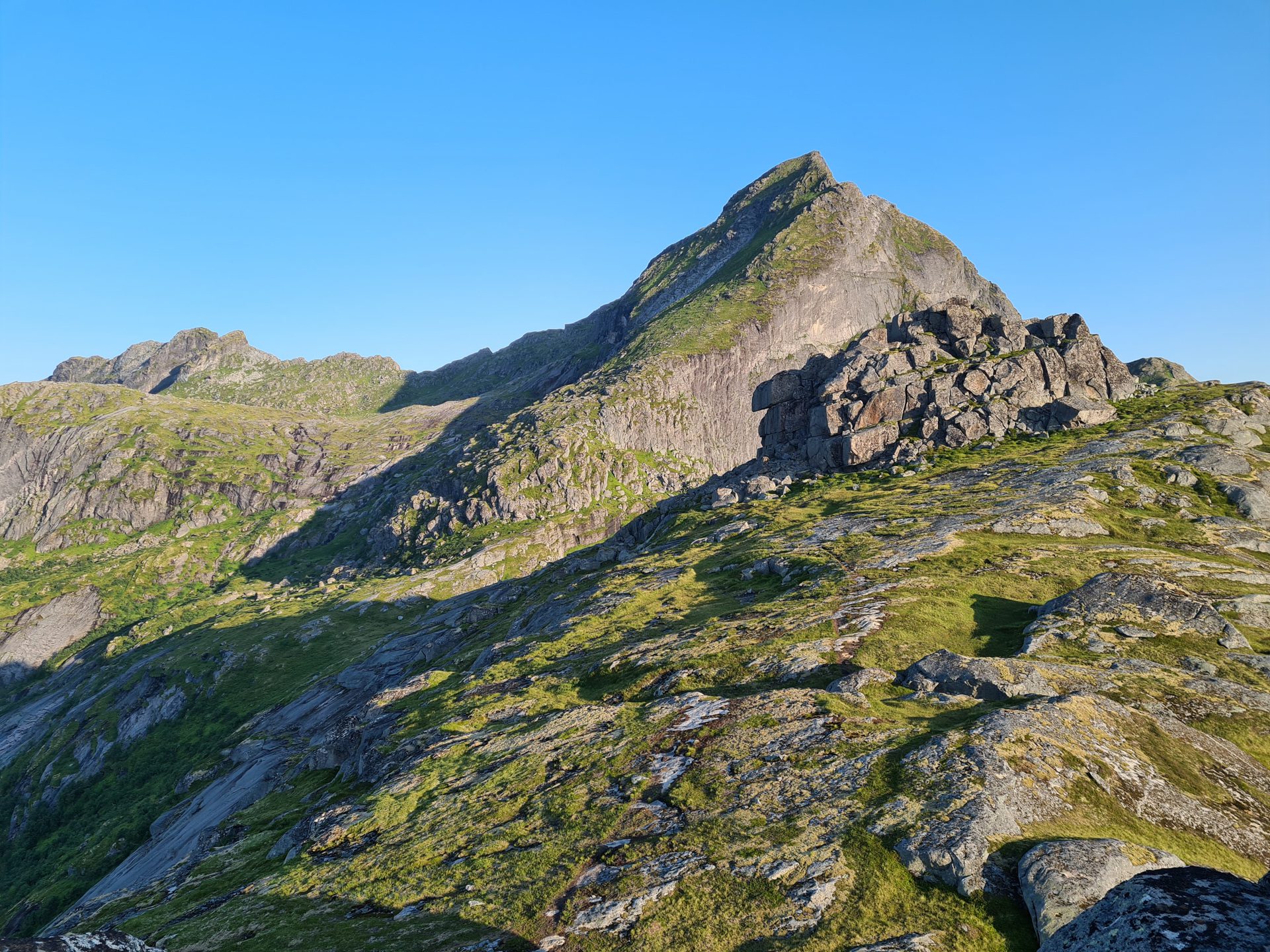
The hike up Narvtinden leads to one of the most spectacular peaks on Moskenesøya Island in the Lofoten archipelago. Though it is significantly less frequented than other, more iconic peaks on the island, it is no less splendid.
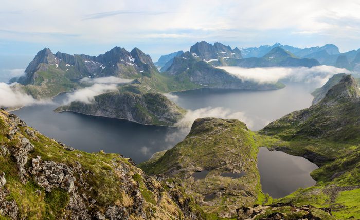
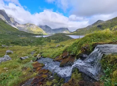
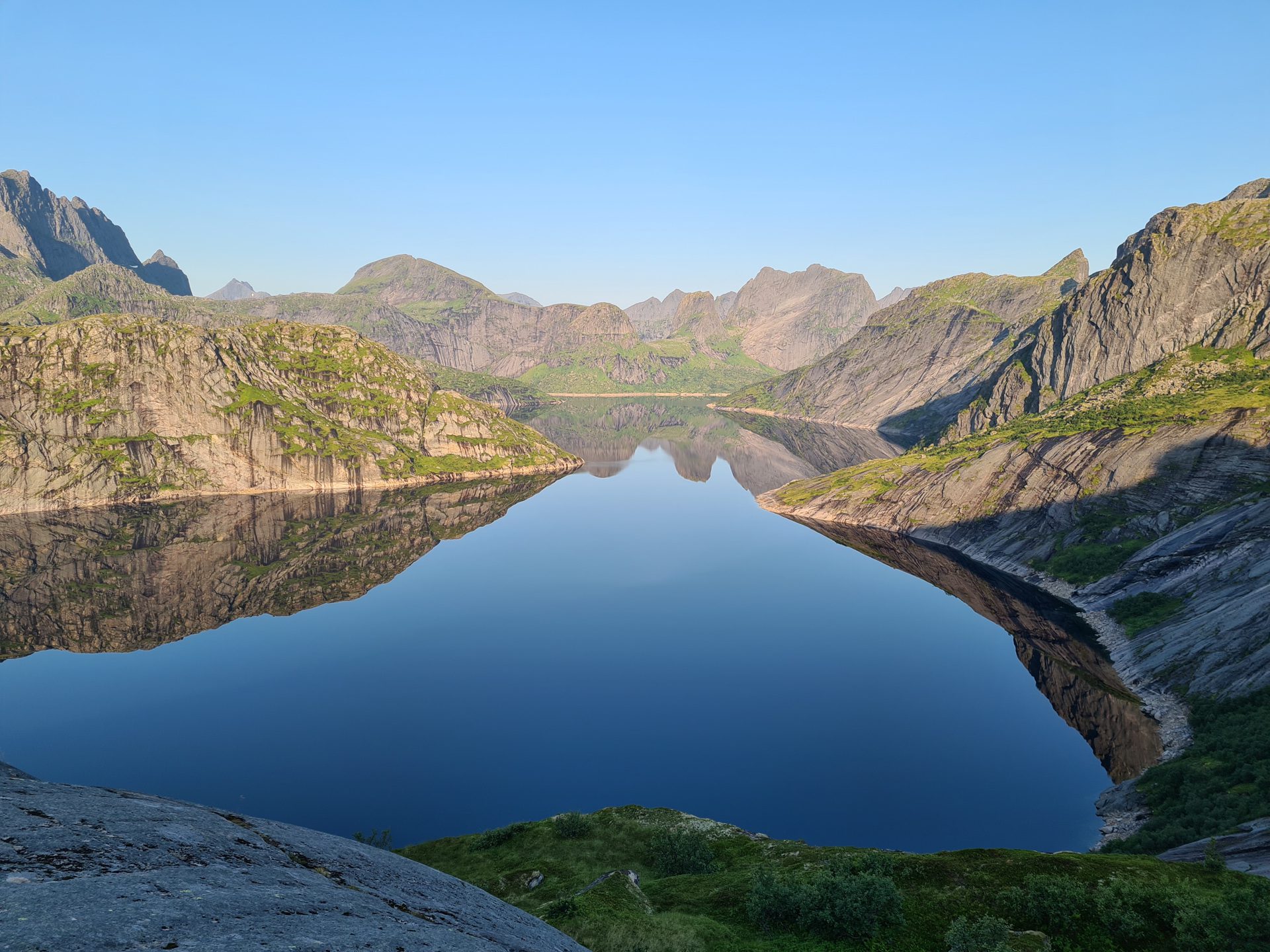
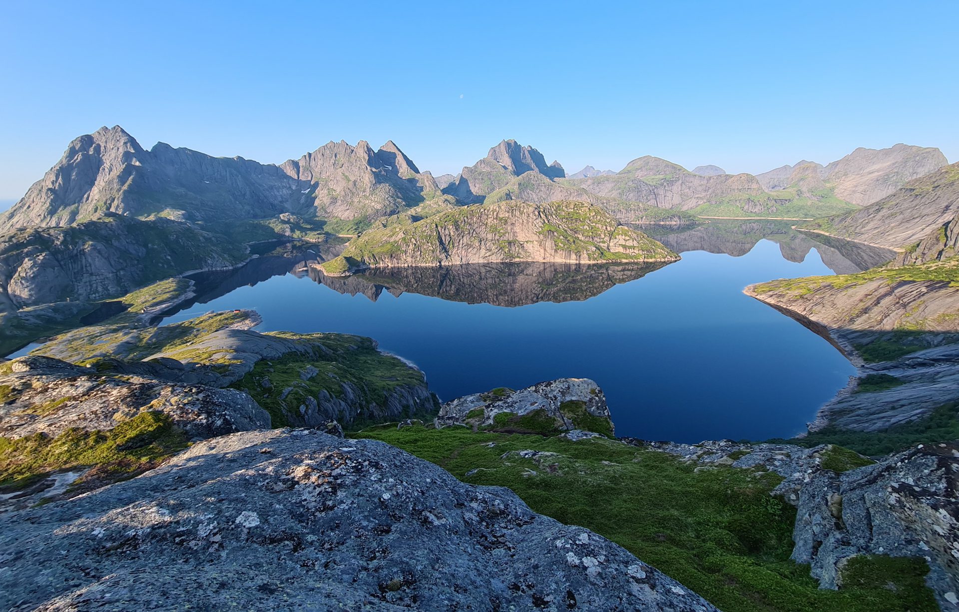
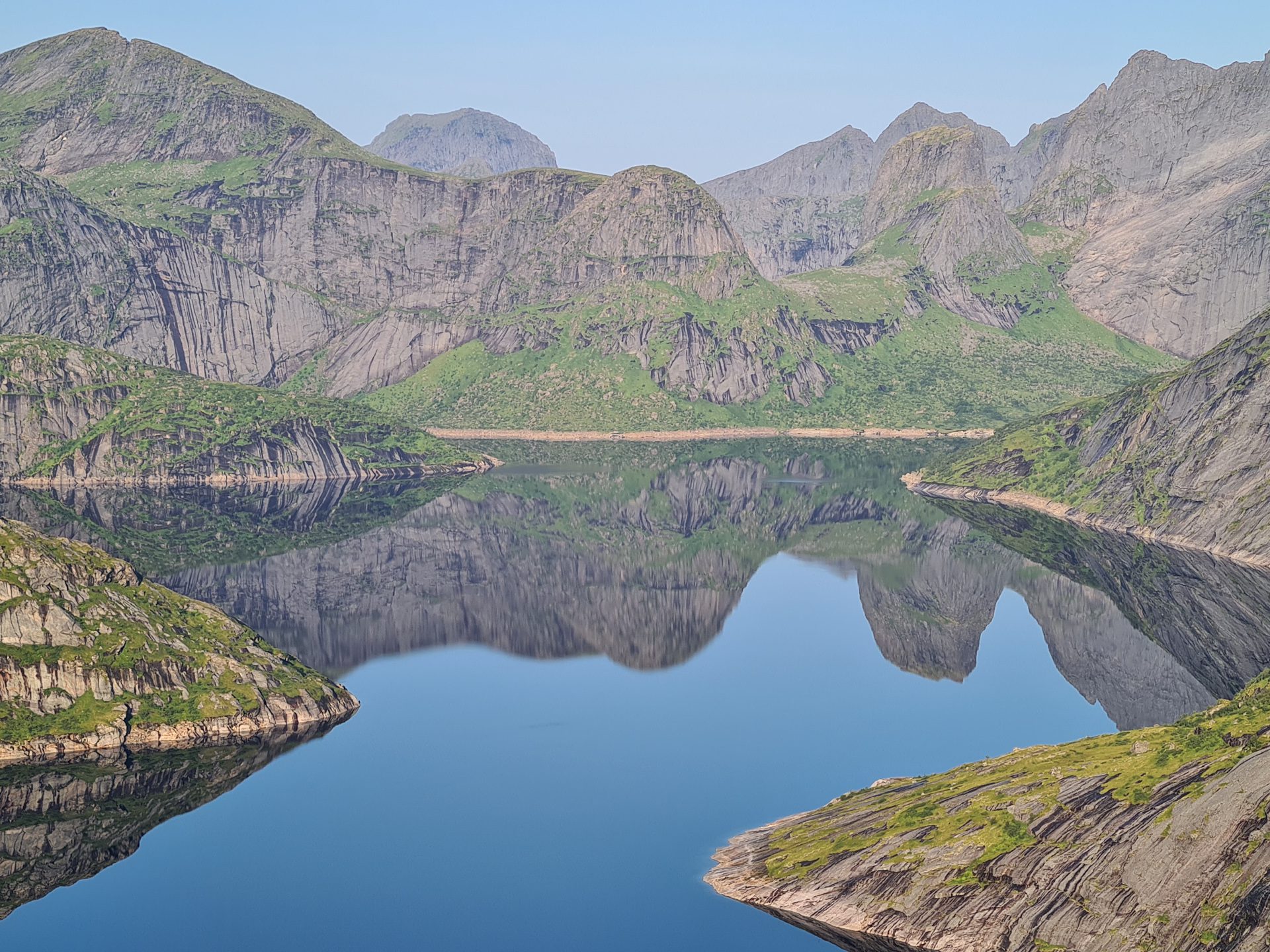
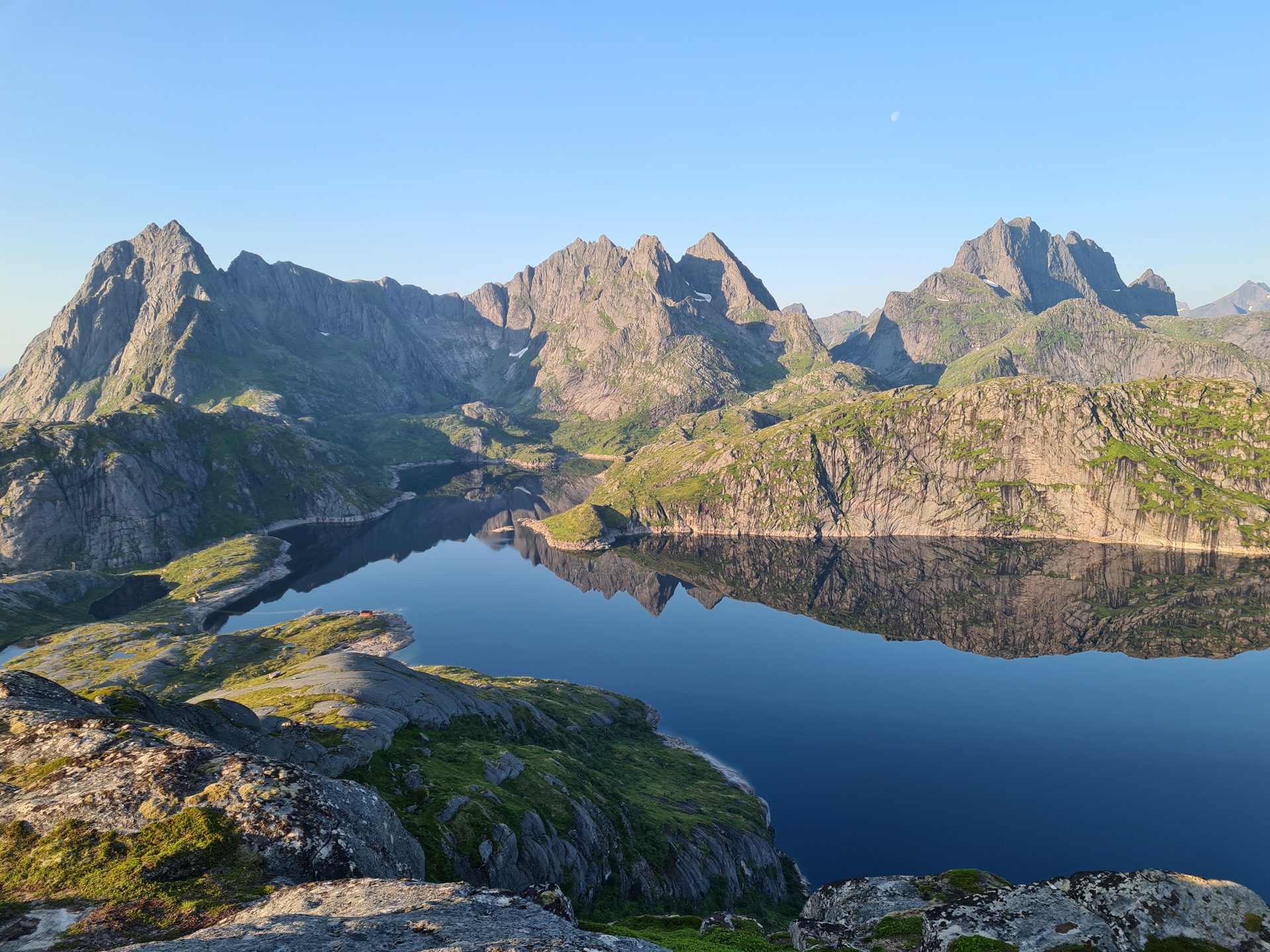
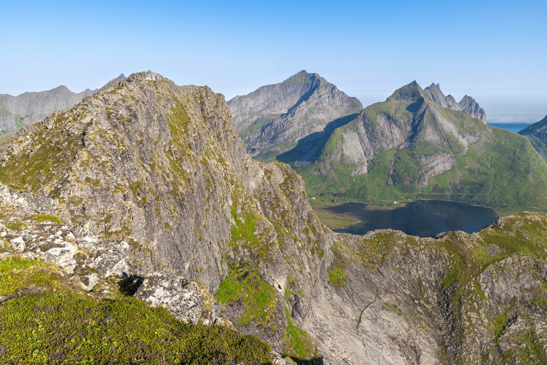
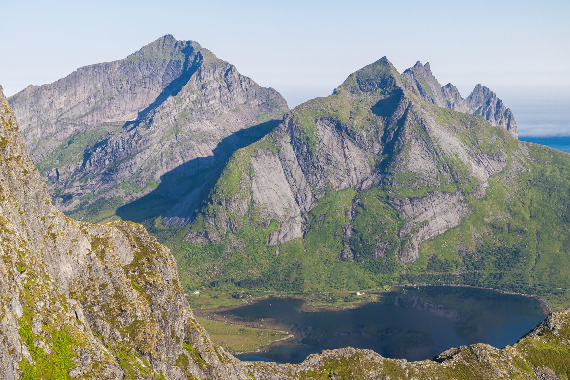
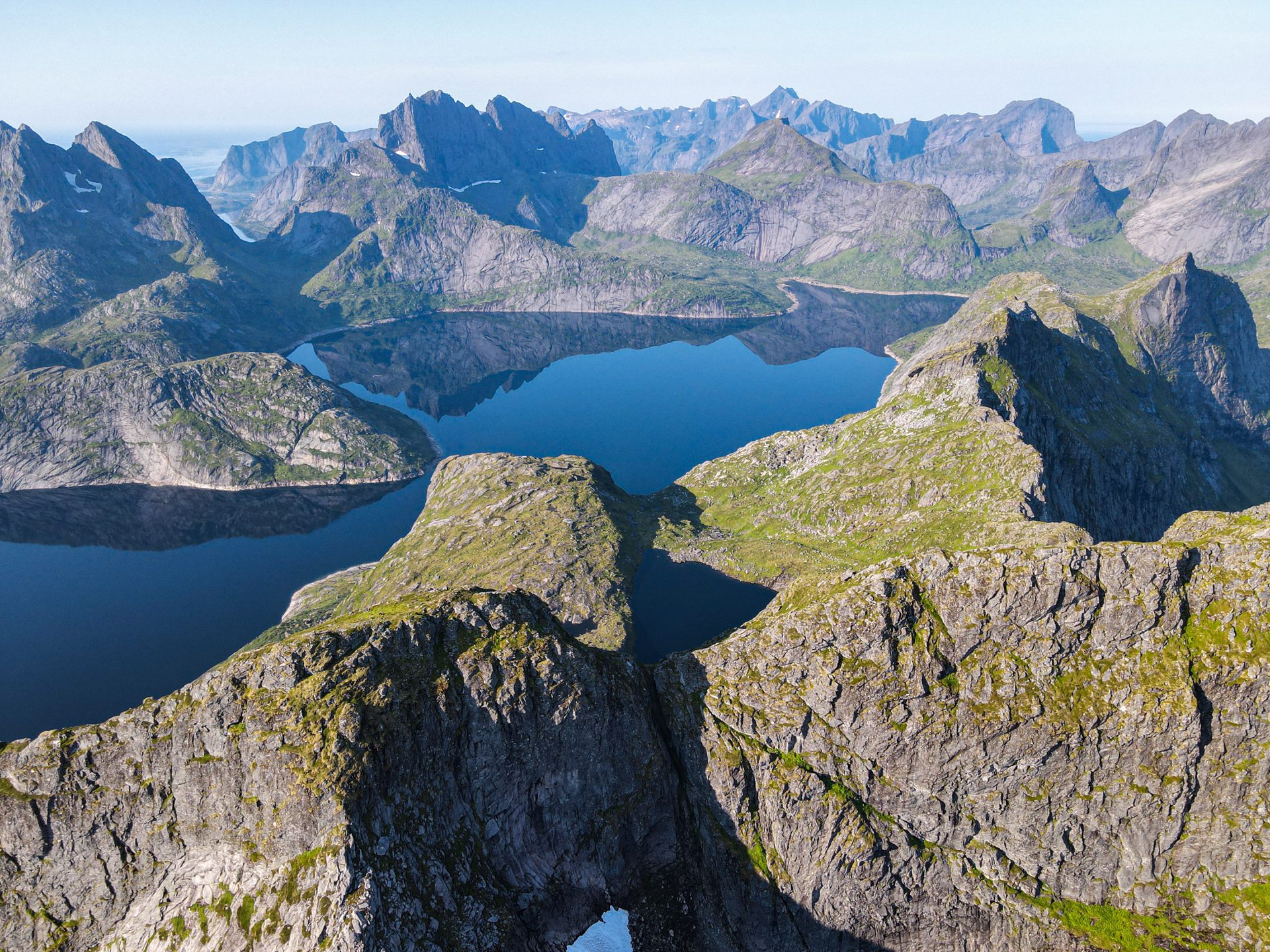
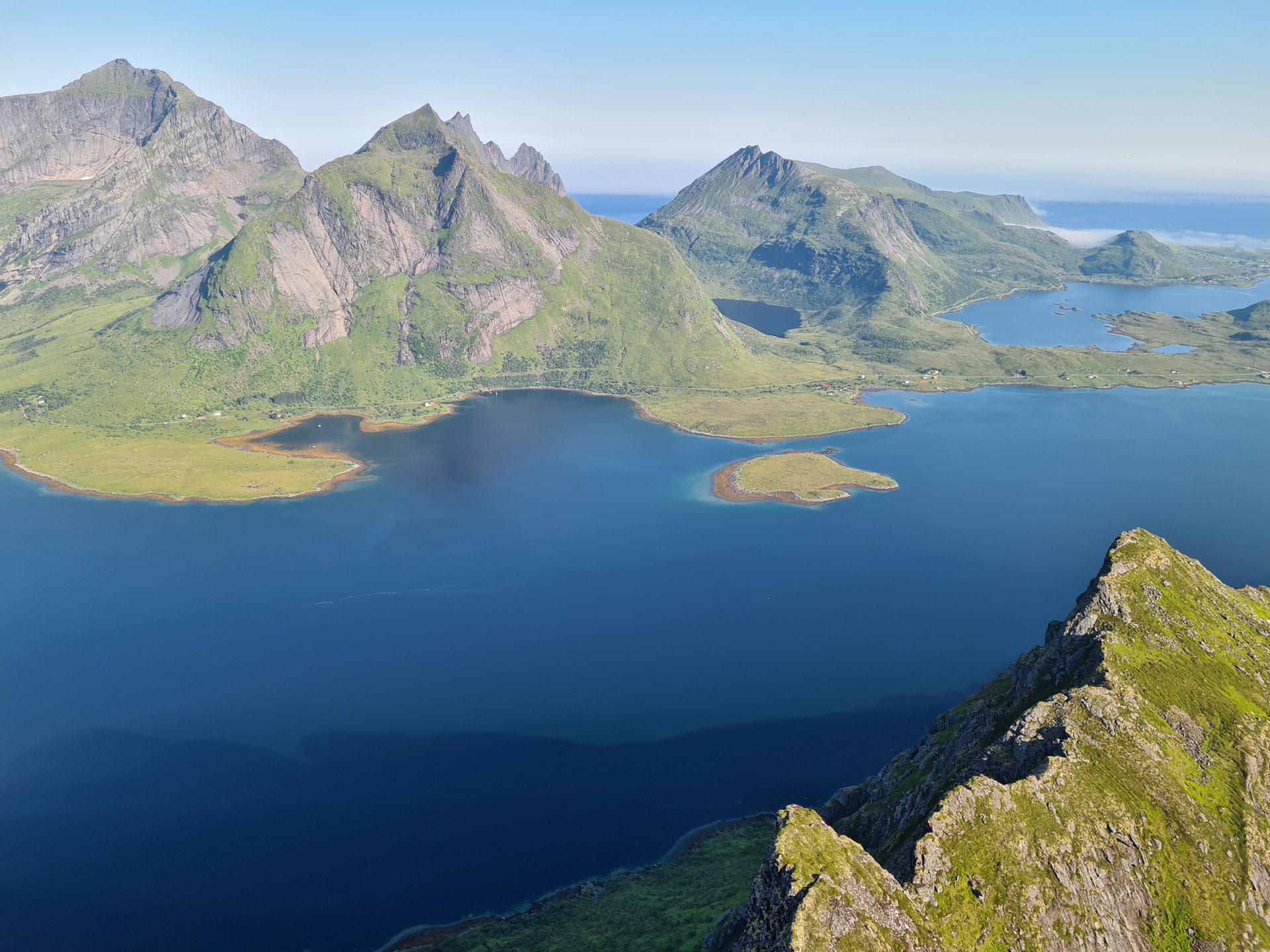
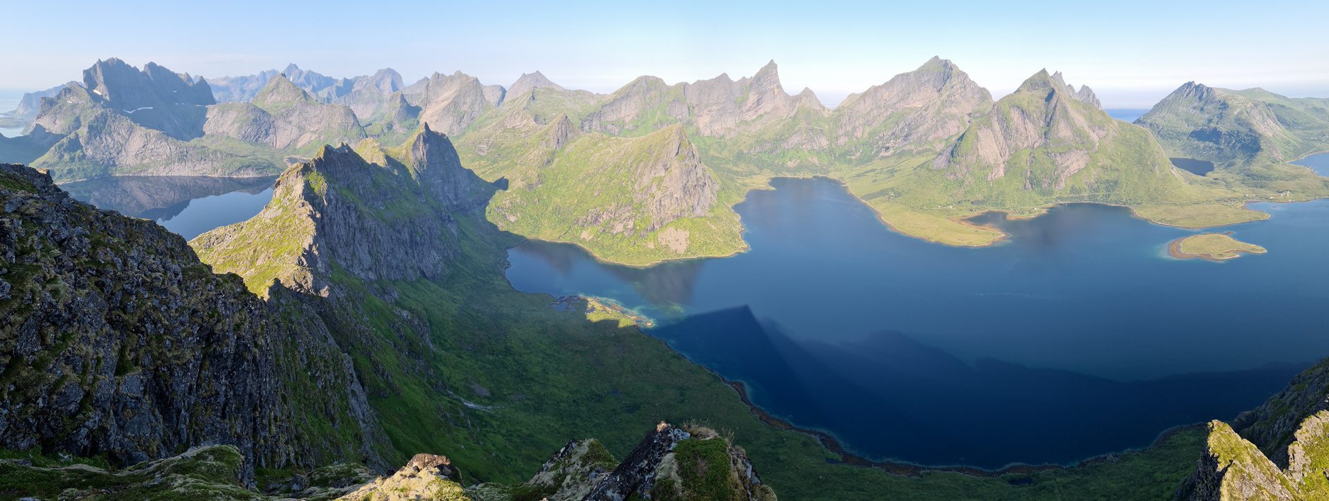
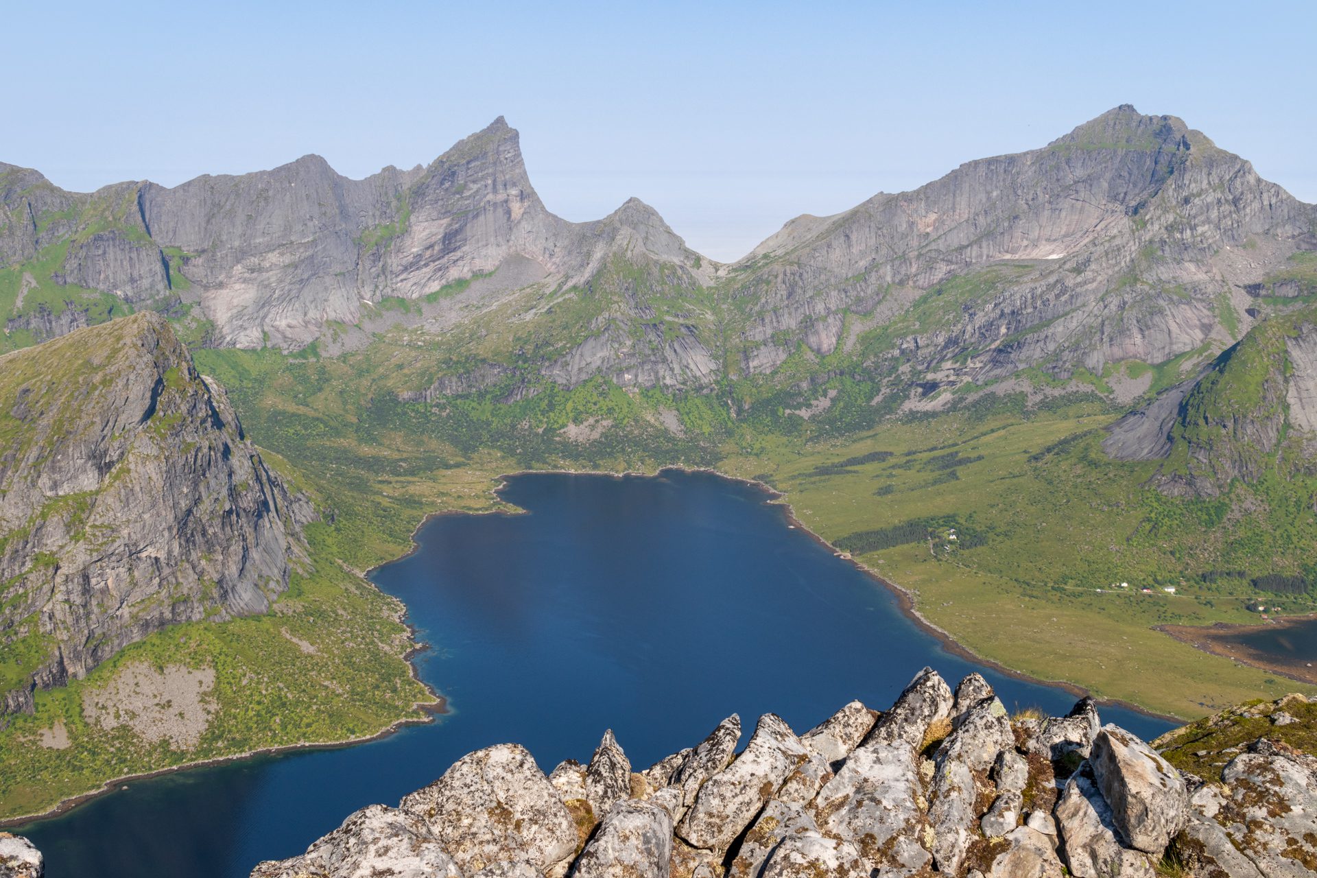
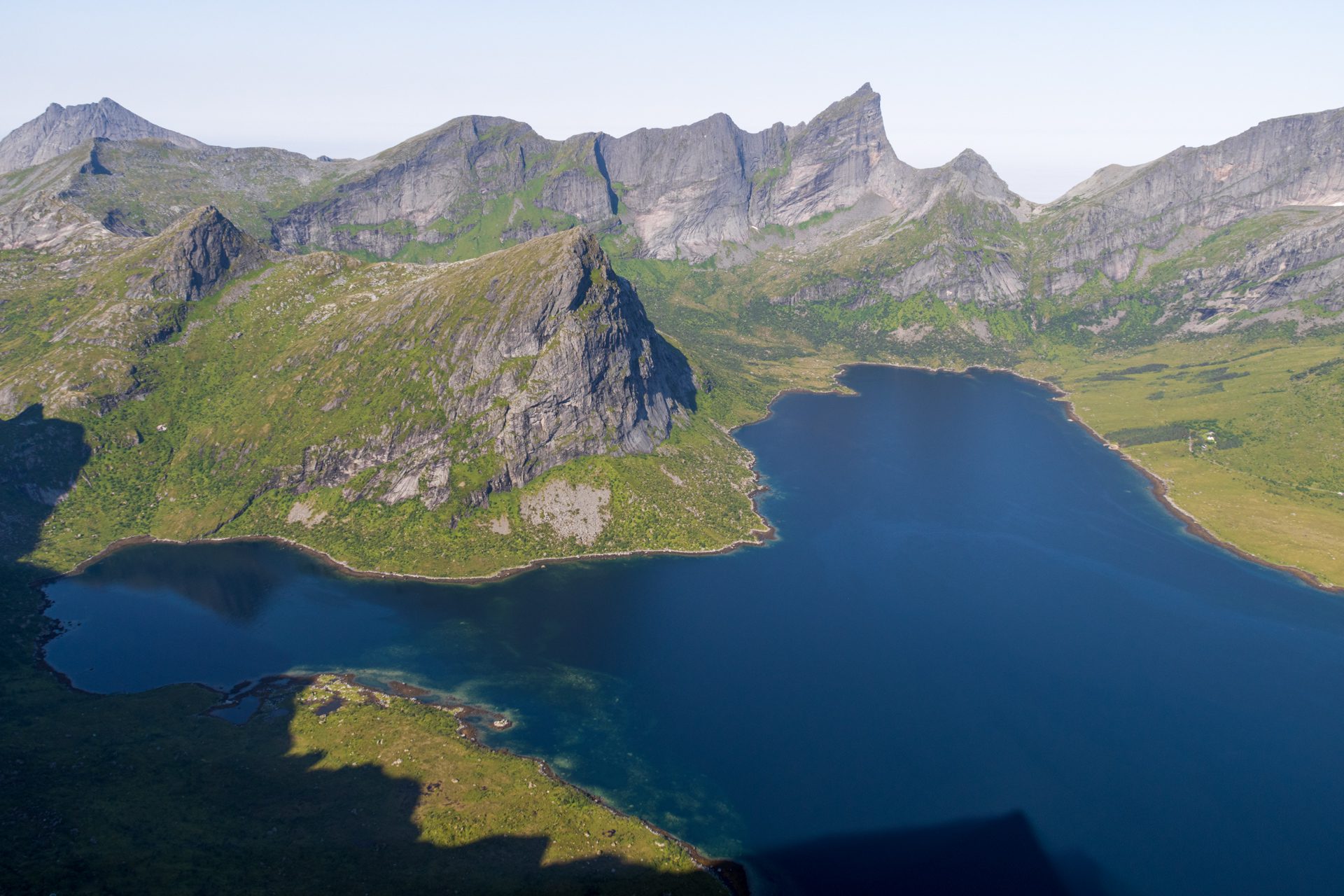
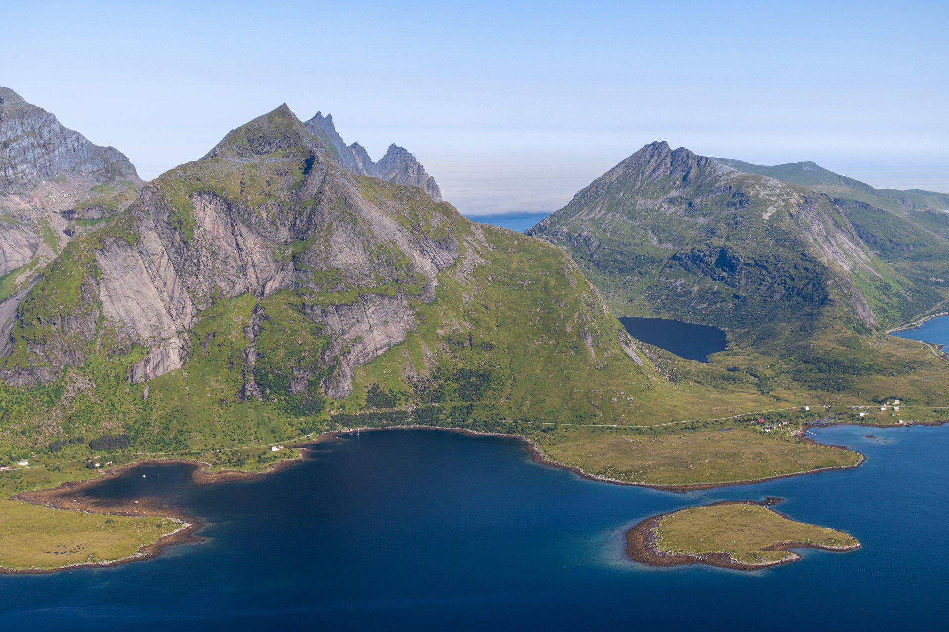
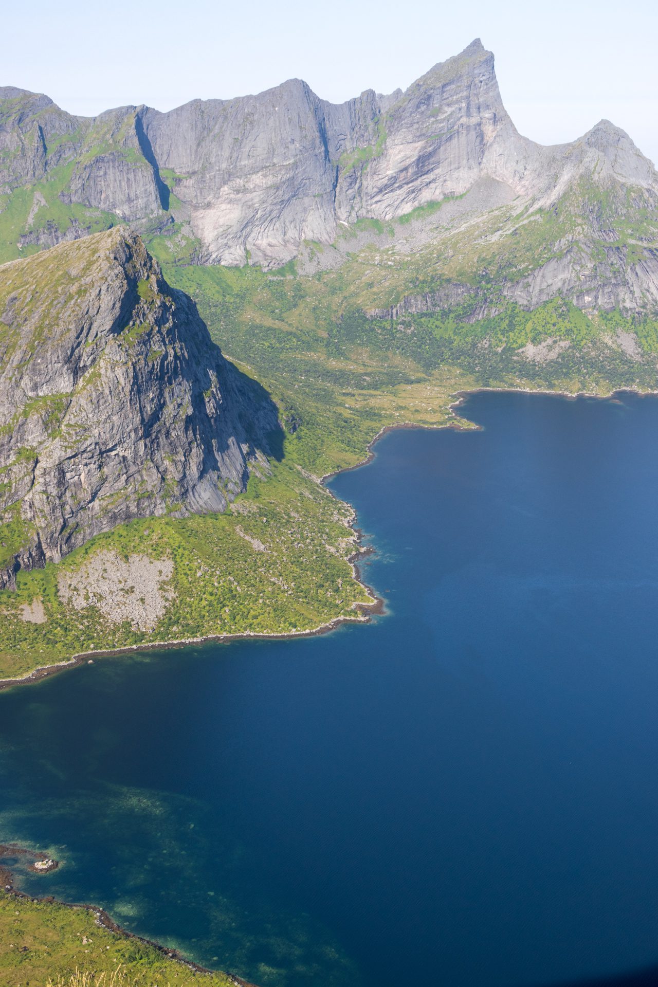
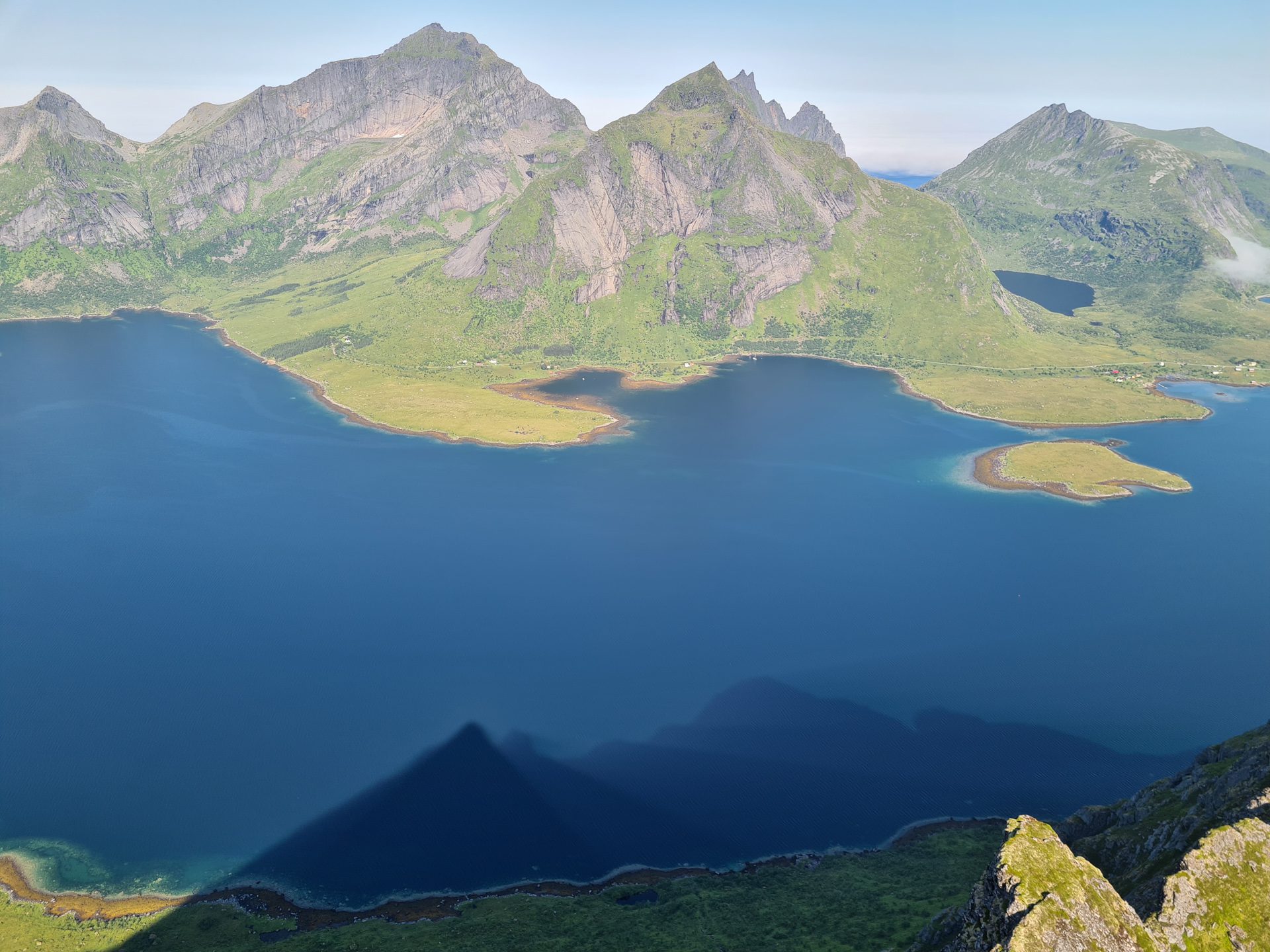
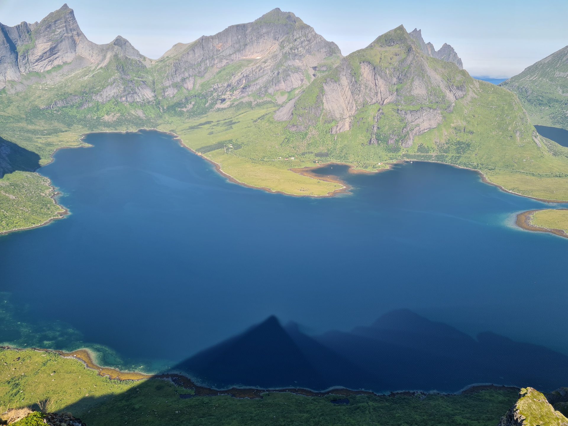
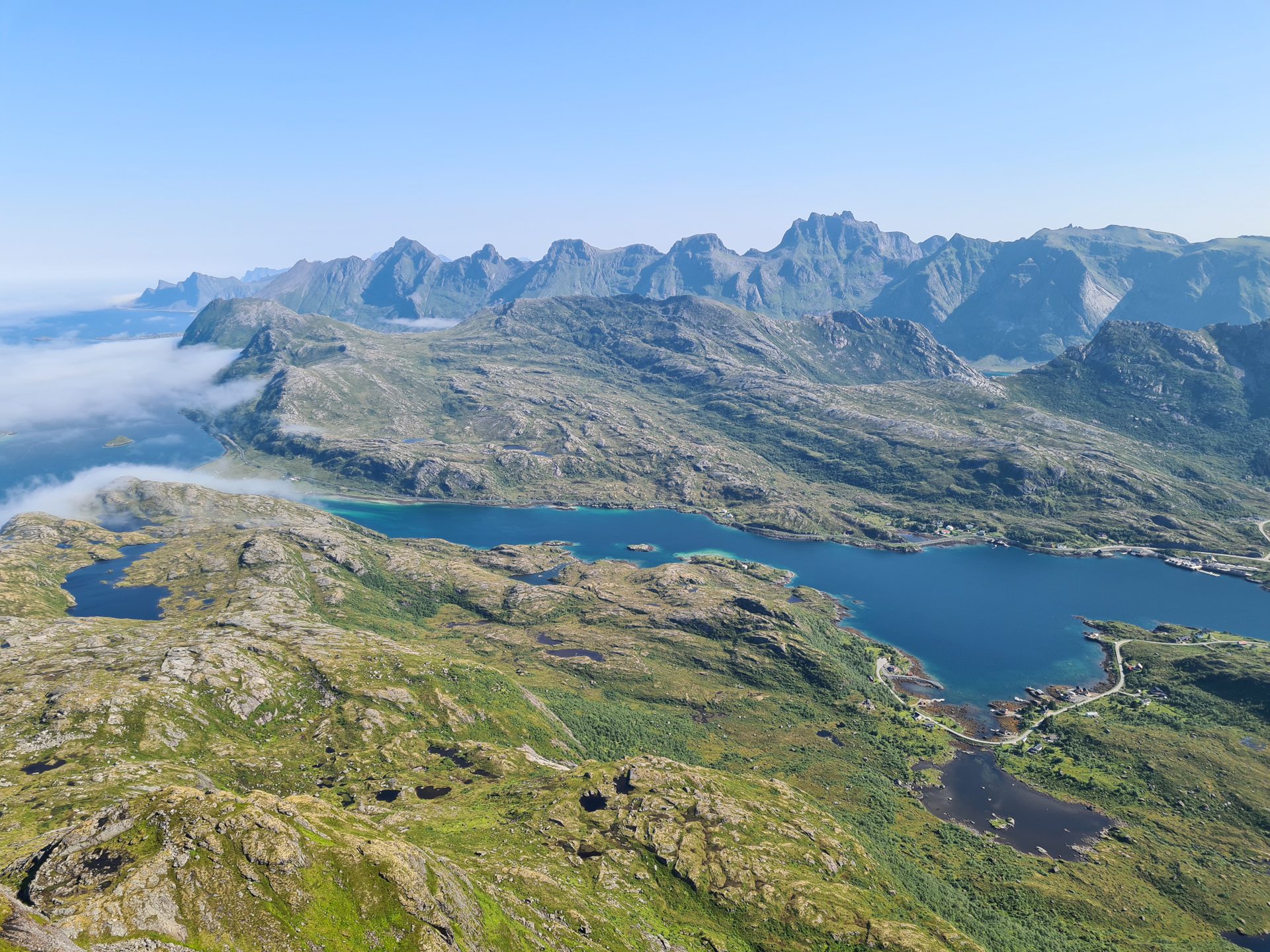
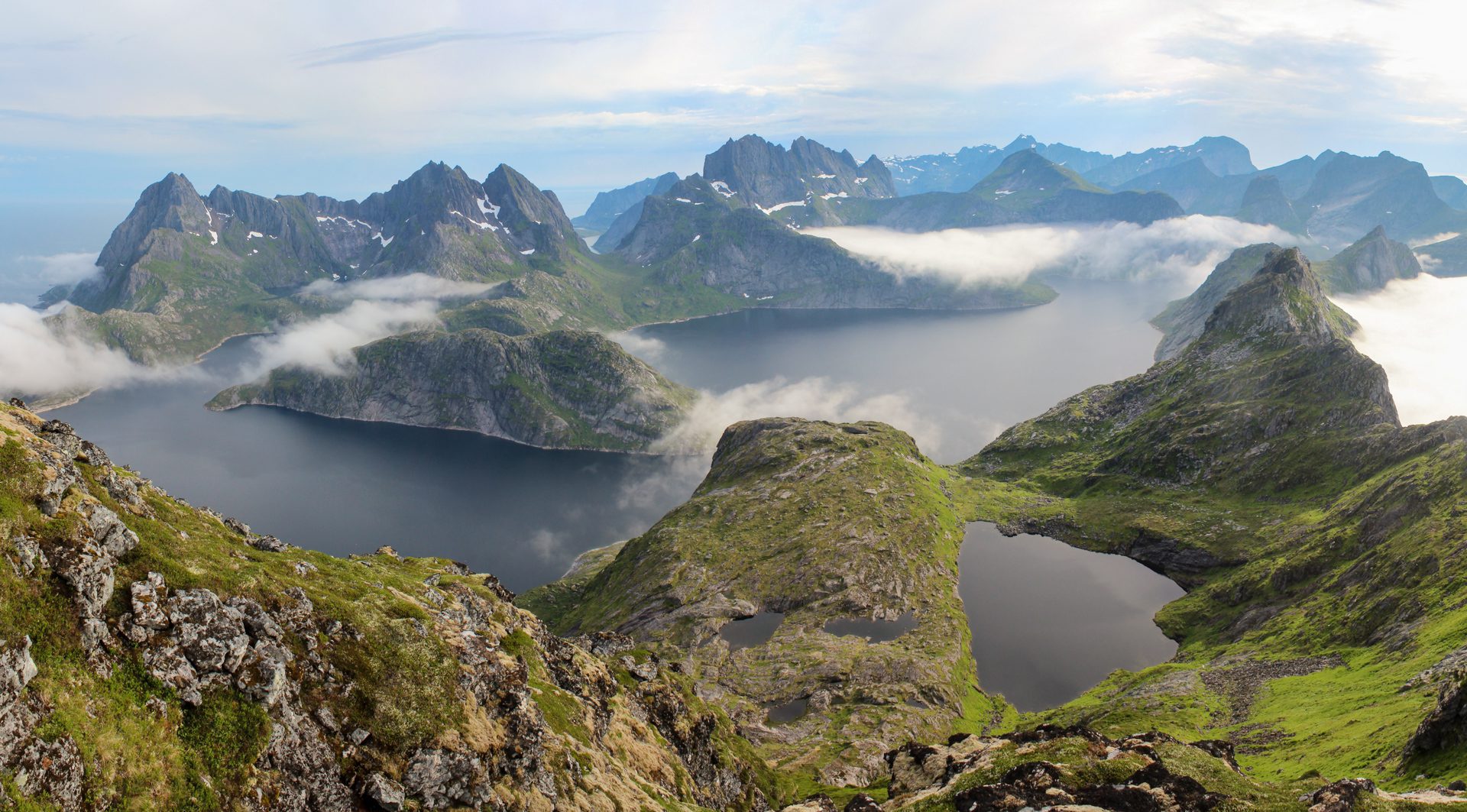
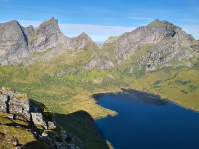
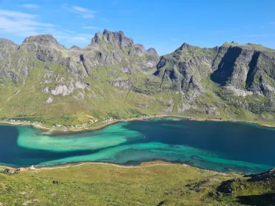
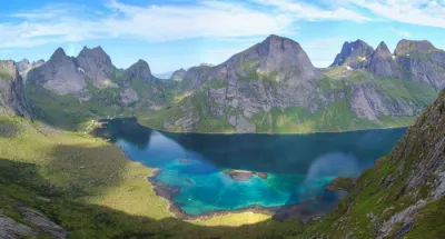
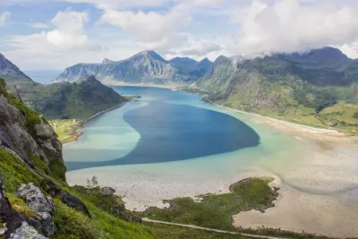
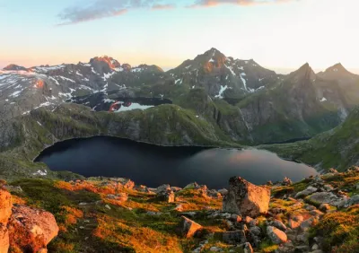
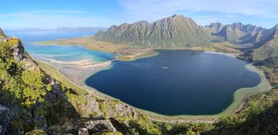
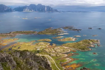
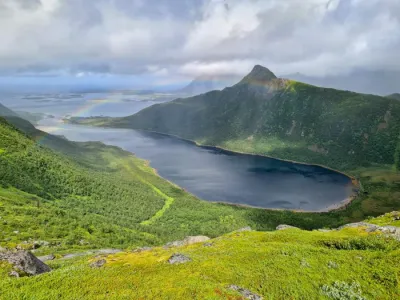
This climb leads to two distinct peaks (677 m and 688 m), which offer exceptional views of the Selfjord, Stormarkpollen bay, and the magnificent Solbjønvatnet lake. The lake accompanies you throughout the hike.
Map and elevation profile of the hike
Narvtinden Hike
Difficulties of the hike
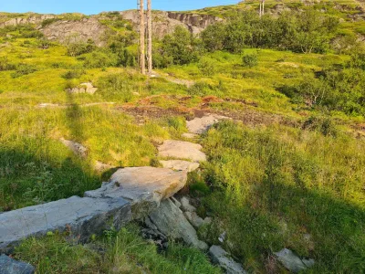
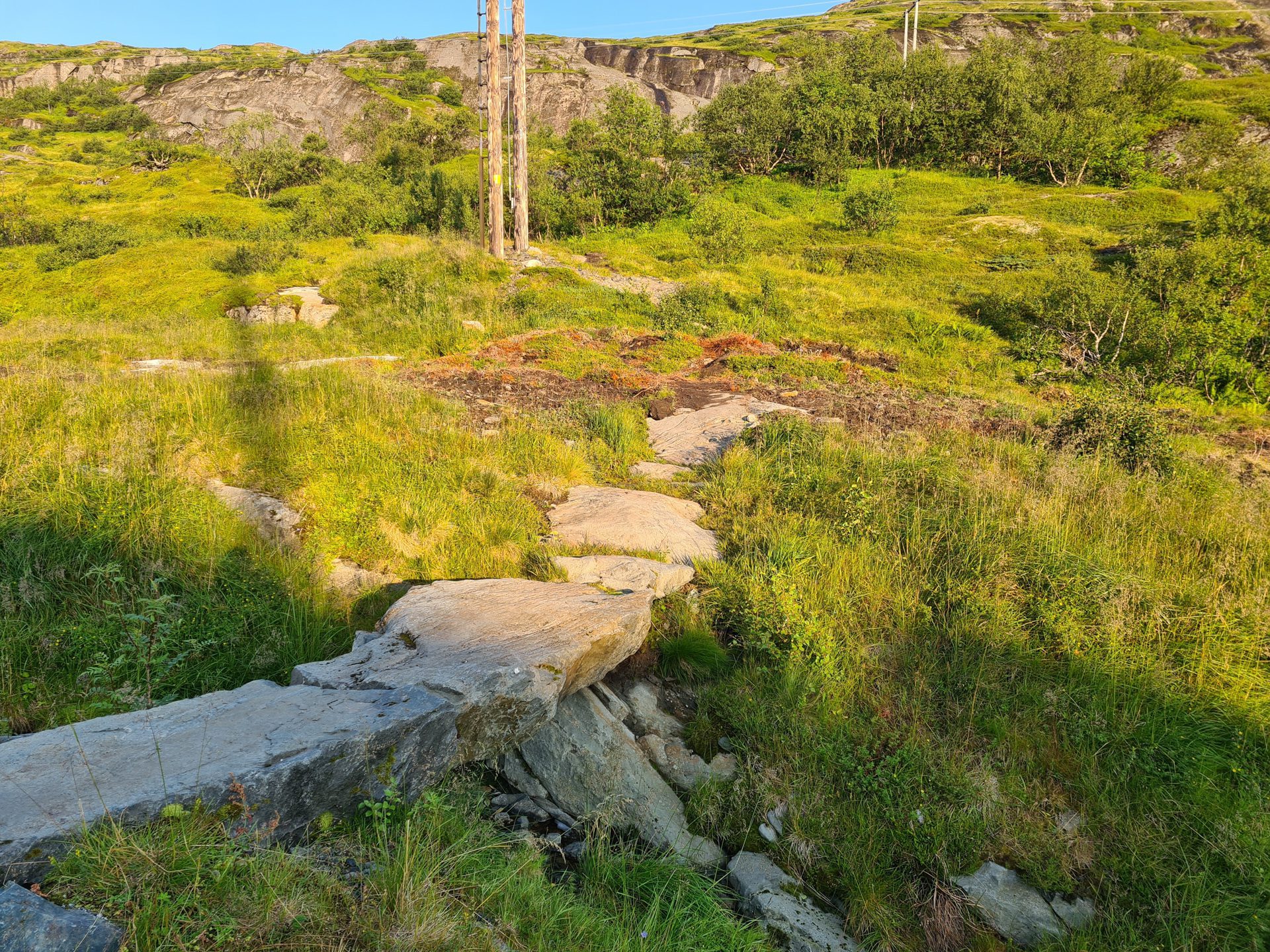
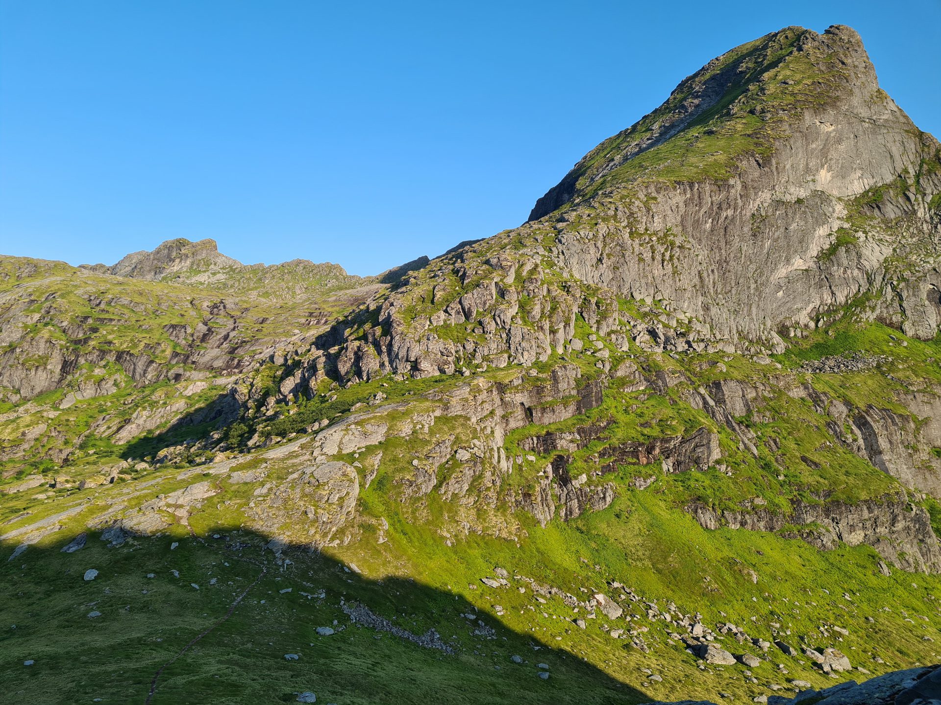
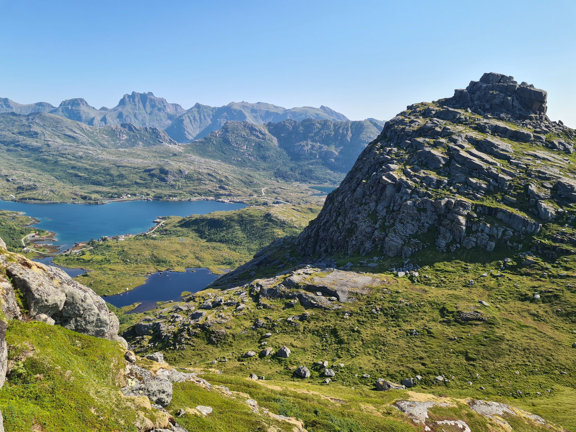
The trail is well visible at the end but only barely so at the beginning, requiring particular attention to spot it. The route includes numerous sections on slippery, rocky slabs. The climb gradually becomes more technical. After circling the small Tekoppstetten summit (365 m), the final ascent is steep and includes some challenging sections.
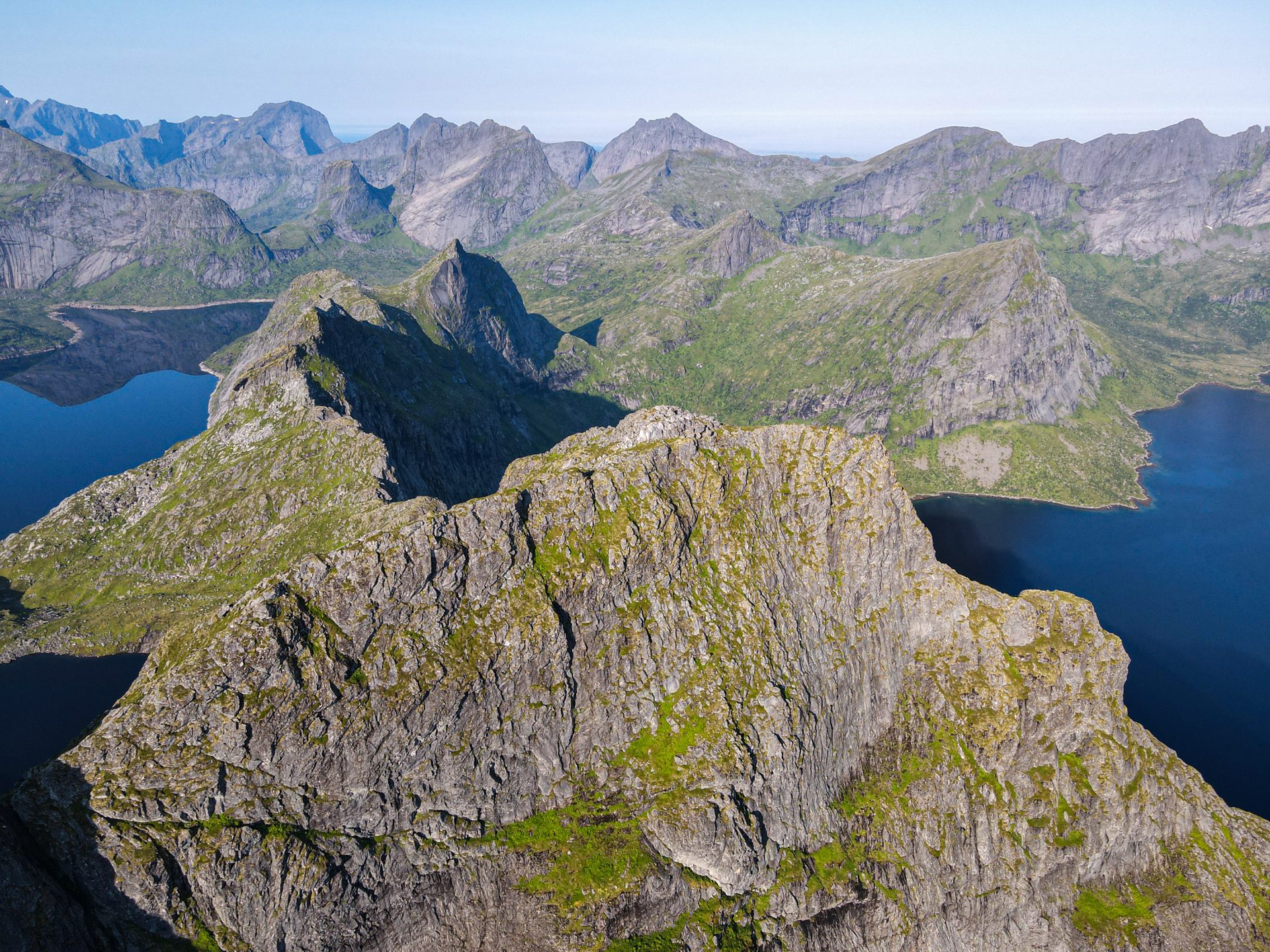
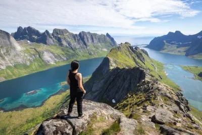
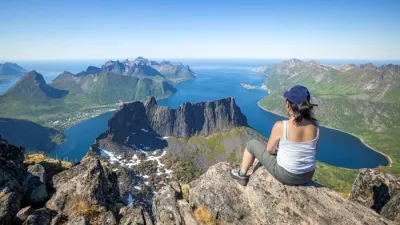
To reach the western summit (688 m) from the eastern summit, follow the ridge. This section is not recommended for those afraid of heights, as some sections are exposed. The view is perhaps even more beautiful and unobstructed, especially of the Selfjord and Stormarkpollen bay.
What you'll love
- A magnificent first view of Lake Solbjønvatnet and the Narvtinden summit from the small plateau after only 15 minutes of walking.
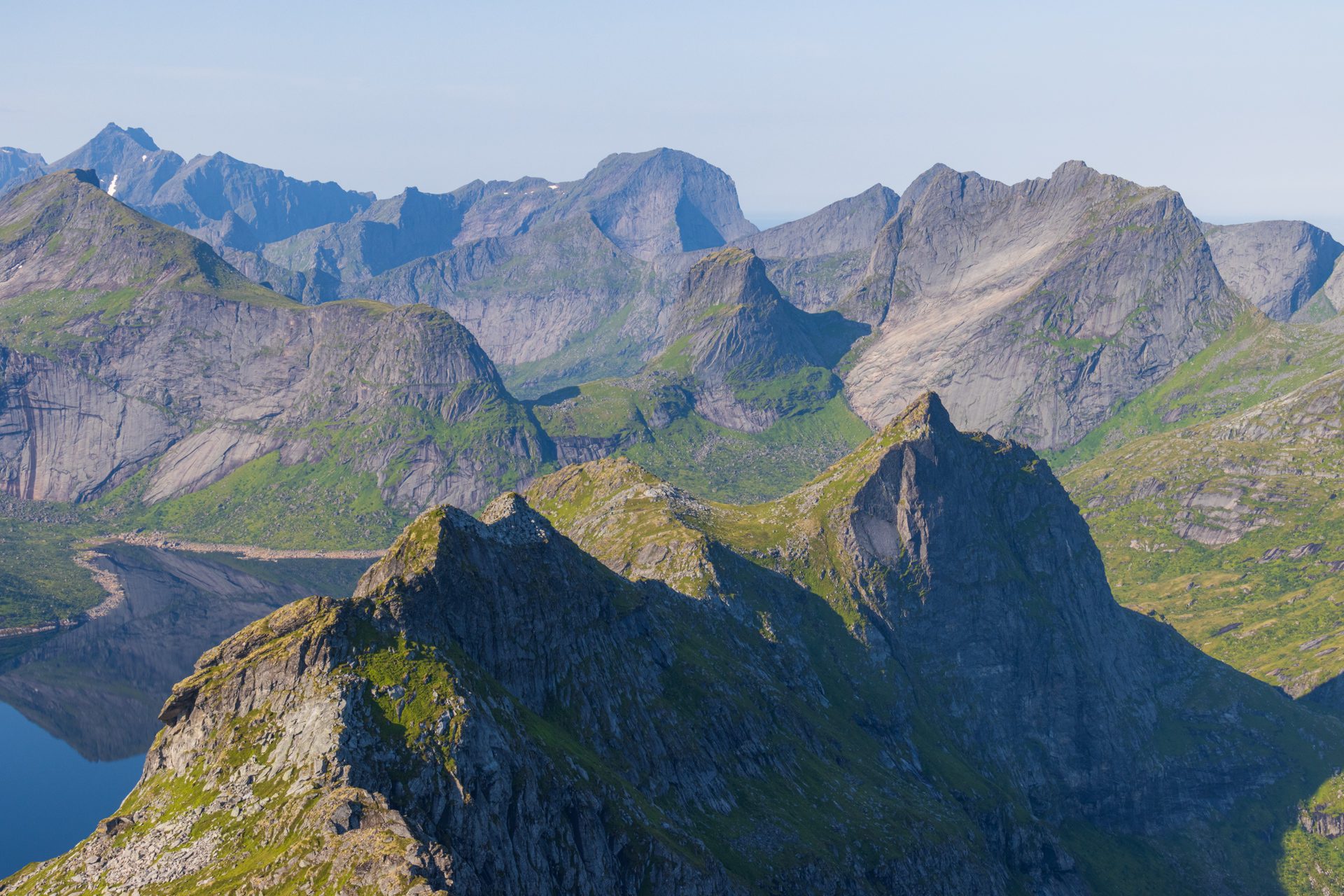
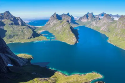
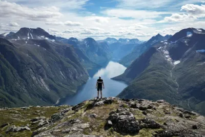
- Exceptional panoramic view: A breathtaking, 360-degree view from the two peaks that takes in the surrounding fjords, lakes, and the steep peaks characteristic of the Lofoten Islands.
- The tranquility of this place. This secluded hike allows you to fully enjoy the wild nature of the archipelago.
Practical information
Starting point
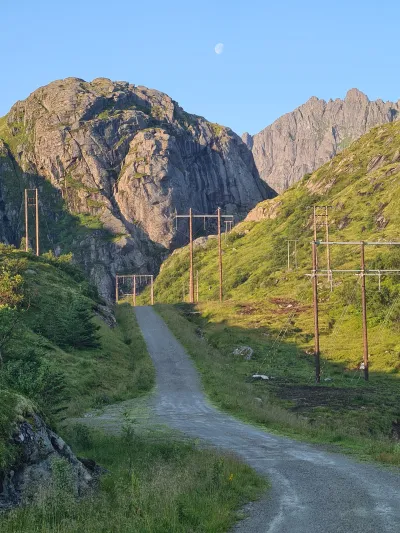
There is a small parking lot in the hamlet of Mølnarodden. Access is via the track leading to the power station. Then, turn right onto a small stone bridge where the trail begins.
Best time to go
Mid-June to September on average. See the Norway FAQ for more details.
Double summit
Narvtinden has two distinct summits. The western summit is strongly discouraged for those sensitive to vertigo. The hike to the eastern summit is rated moderately vertiginous, but the hike to the western summit is rated highly vertiginous.
Photos
See all 24 photos →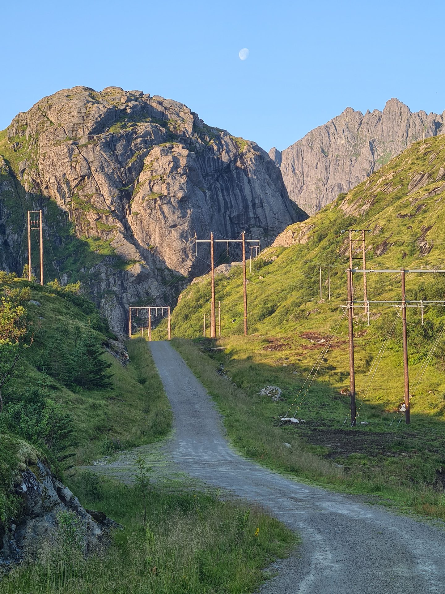
More hikes to do in Norway
Nearby hikes












Printed from www.horizonrando.fr/en/norway/narvtinden/