






Husfjellet Hike
Key facts about the hike
- Difficulty
- Moderate Hikes are rated from very easy to very hard: my difficulty scale
- Duration
- 4h Estimated time, short breaks included (photos, water, snacks), picnic not included: how it is calculated
- Distance
- 8.8km
- out and back
- Elevation gain
- 670m
- Type of route
- Out and back
- Maximum altitude
- 634 m
- Vertiginous Five levels, depending on how exposed the route is: the levels in detail
- No
- Marked
- Yes
- Popularity
- Moderate
- Island
- Senja
- Start point
- 69.44468, 17.29987
- Activity
- Hiking
Hike overview
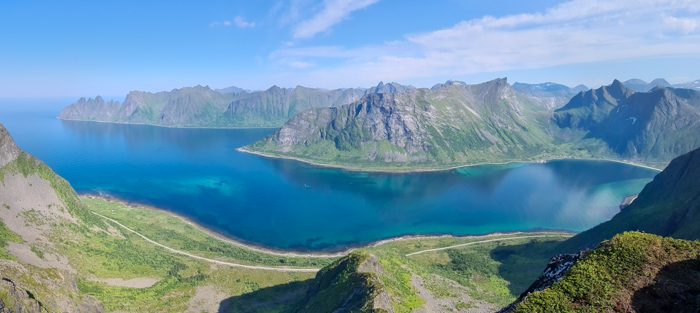
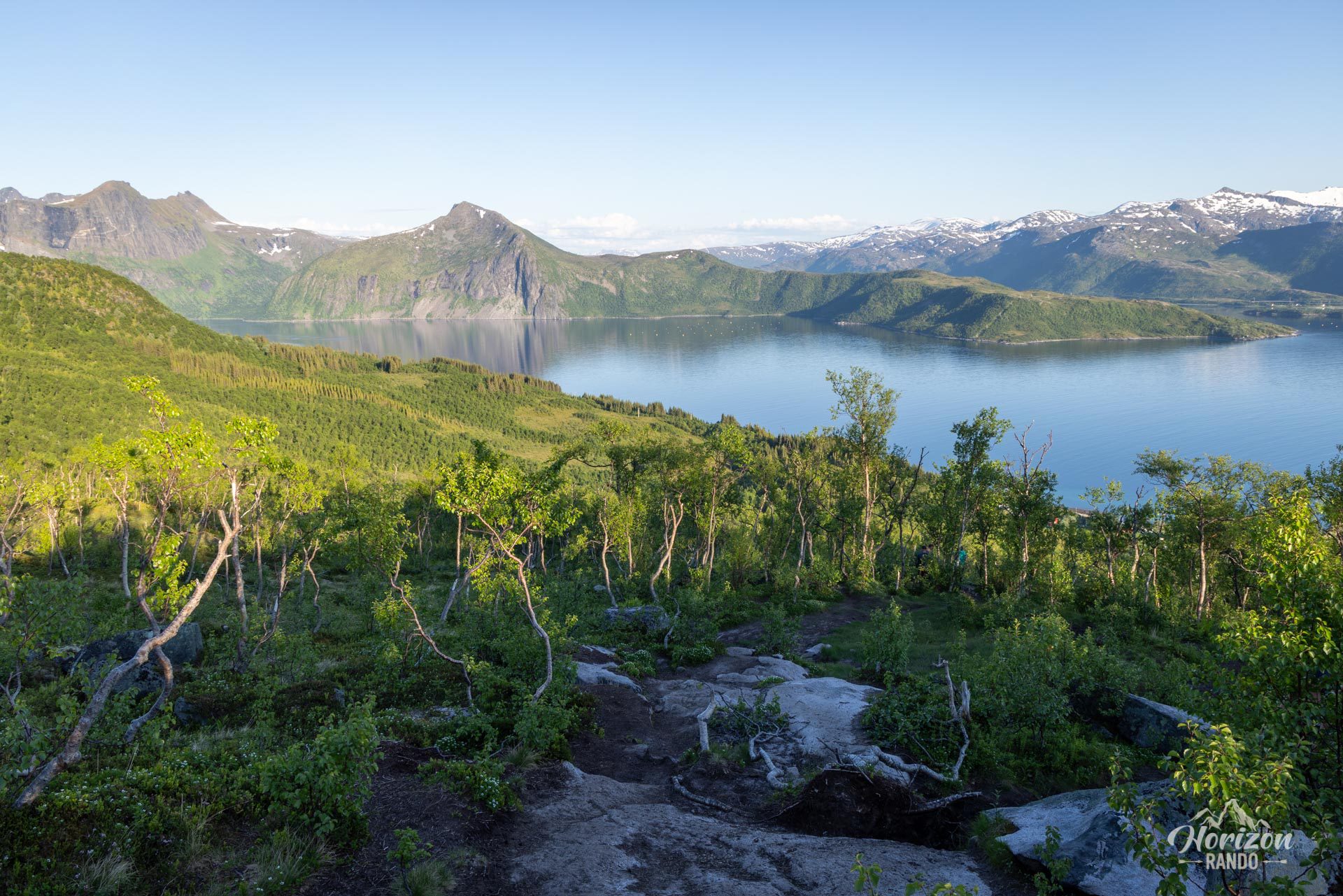
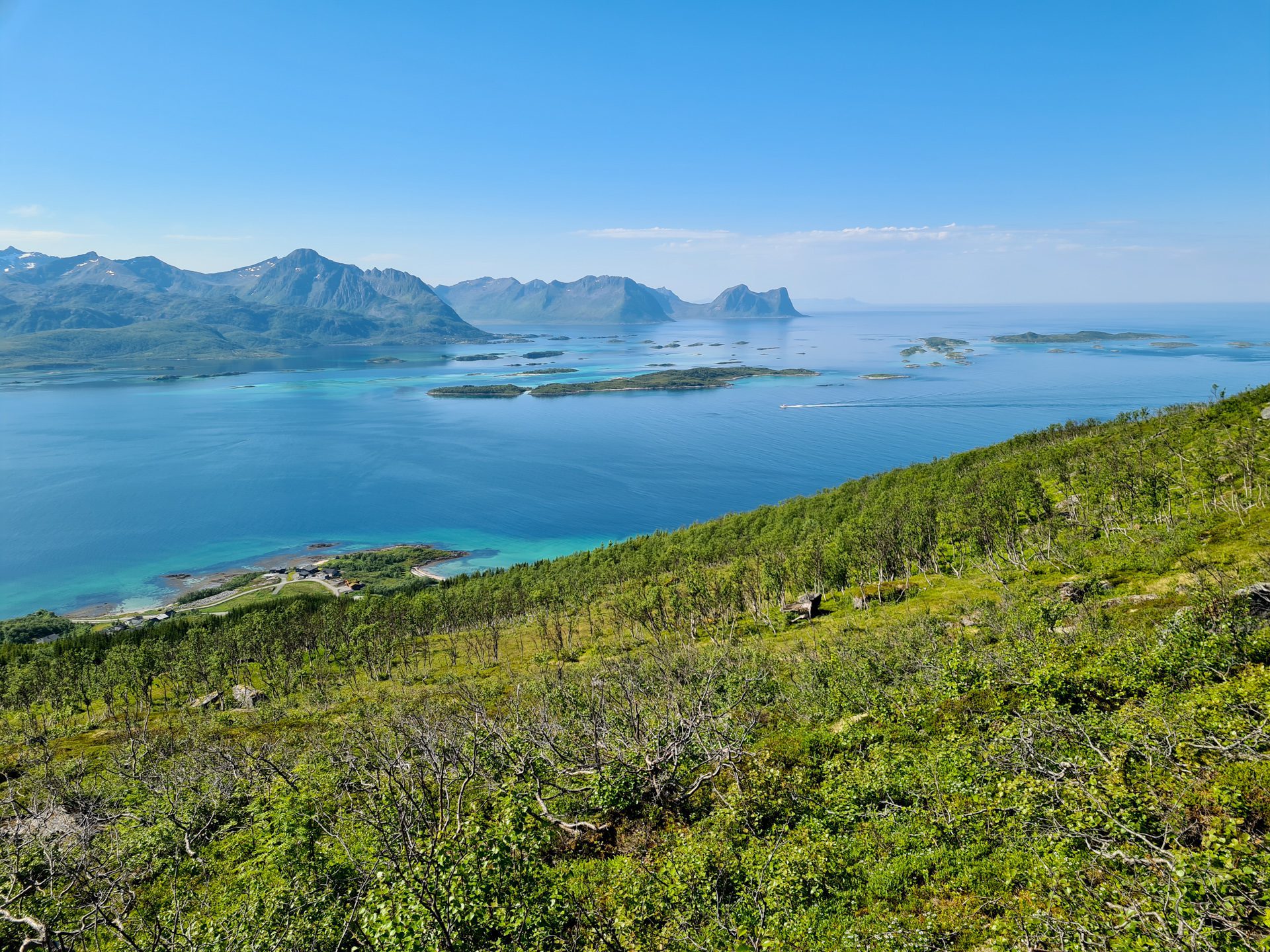
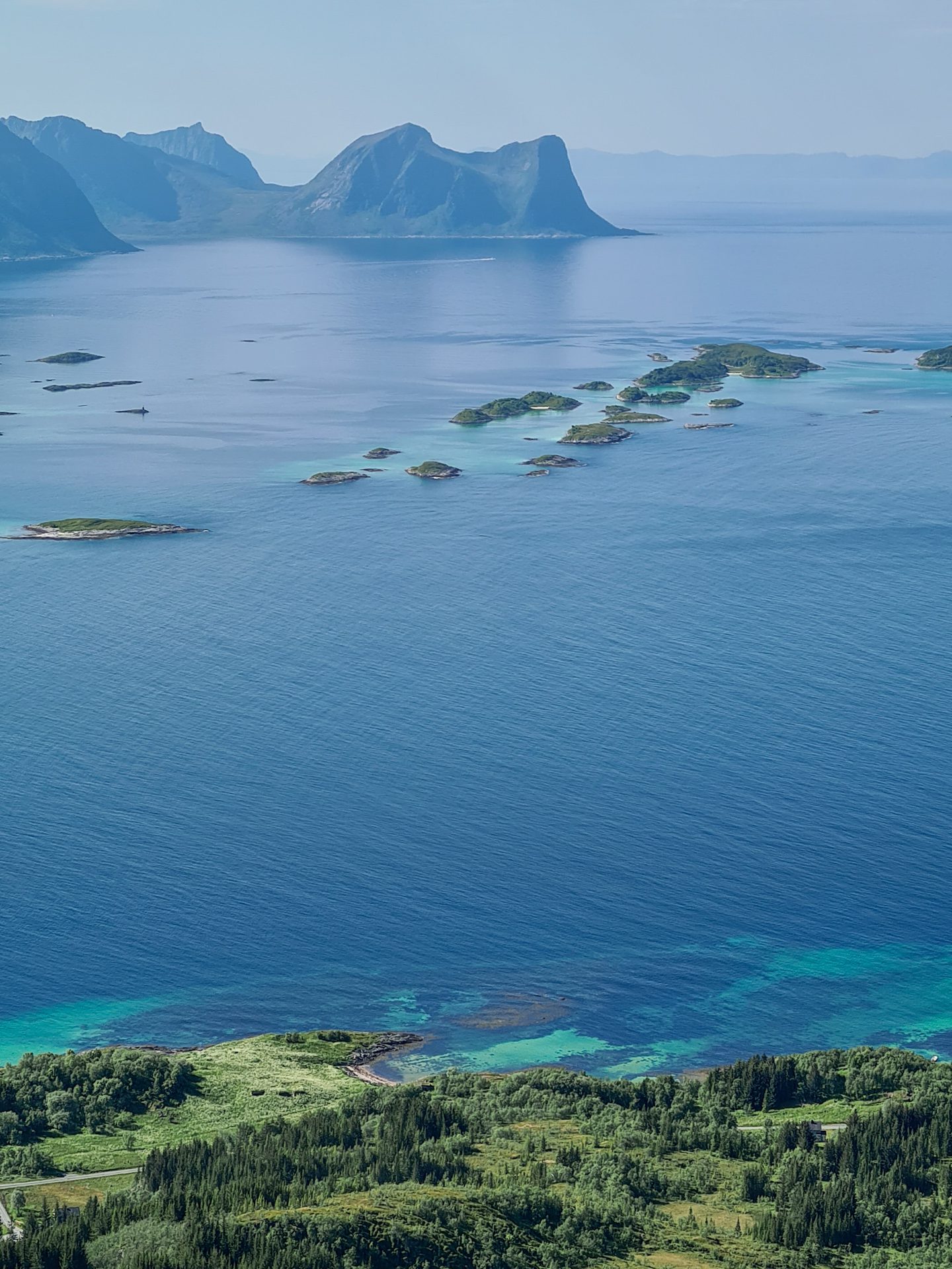
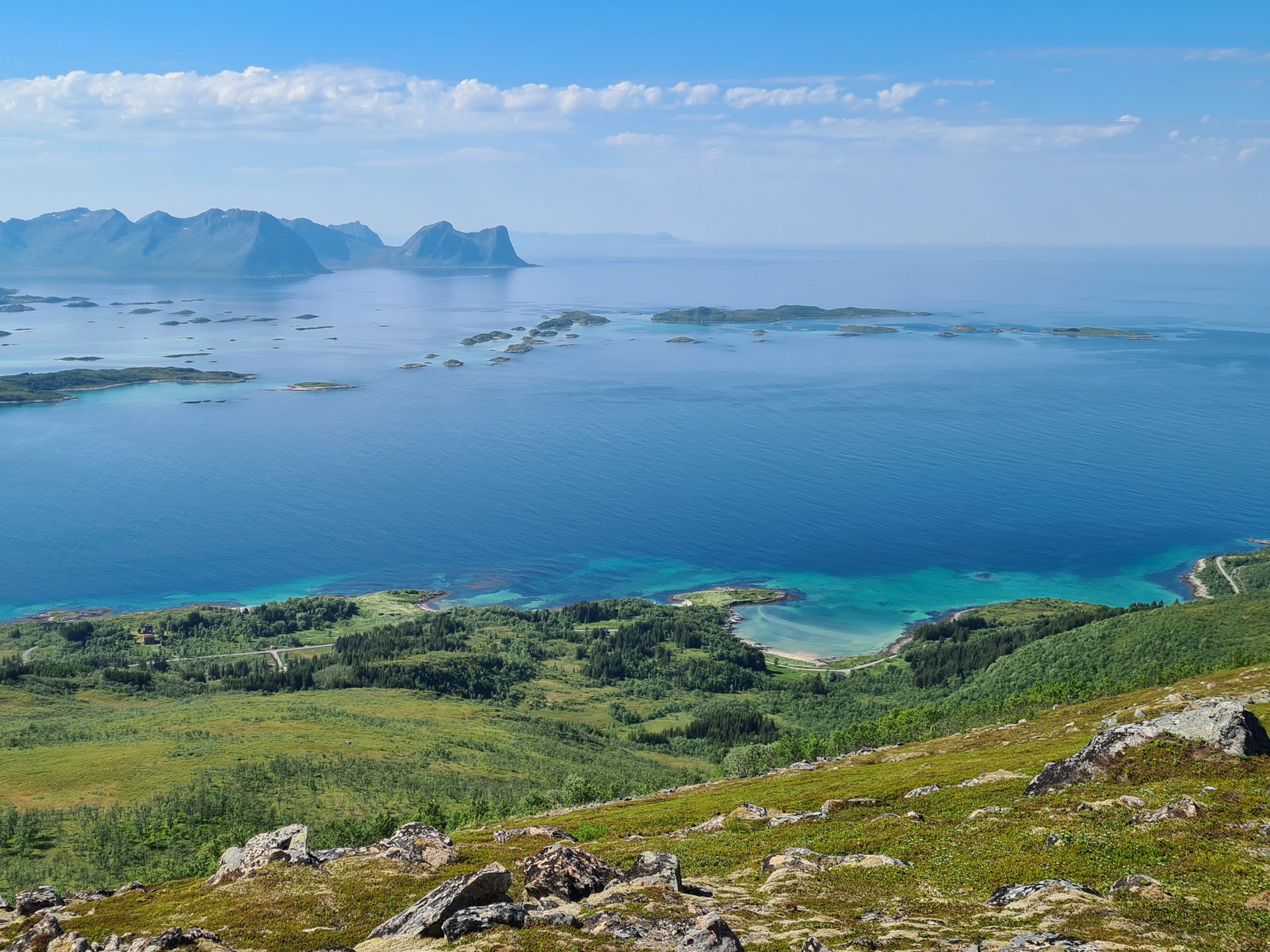
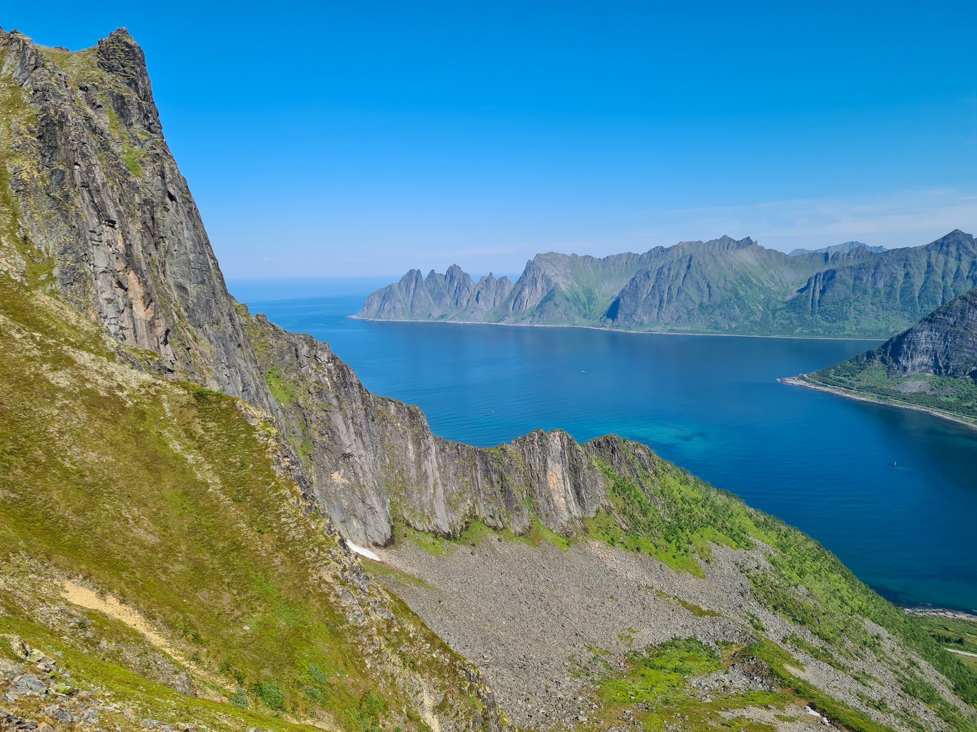
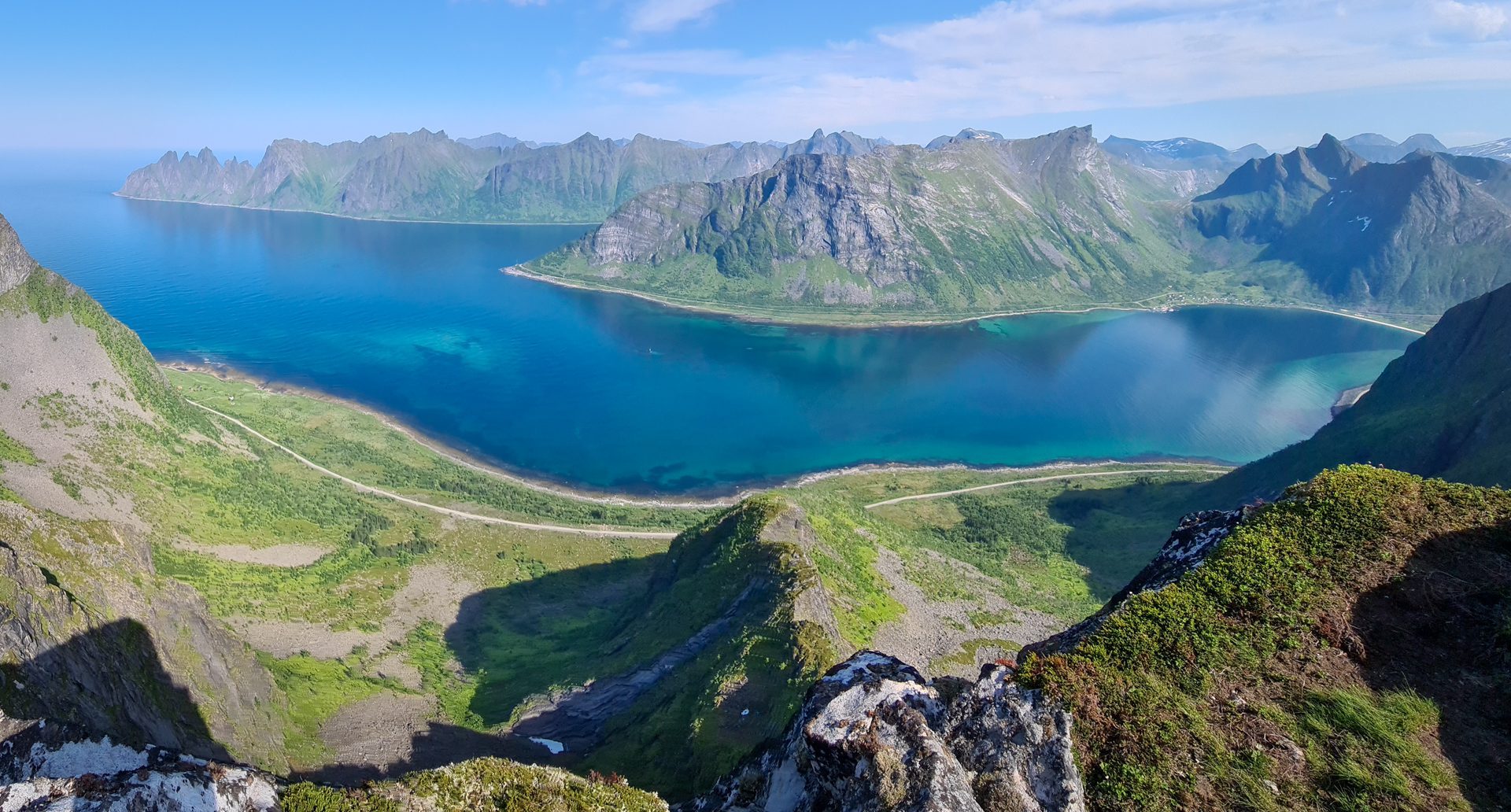
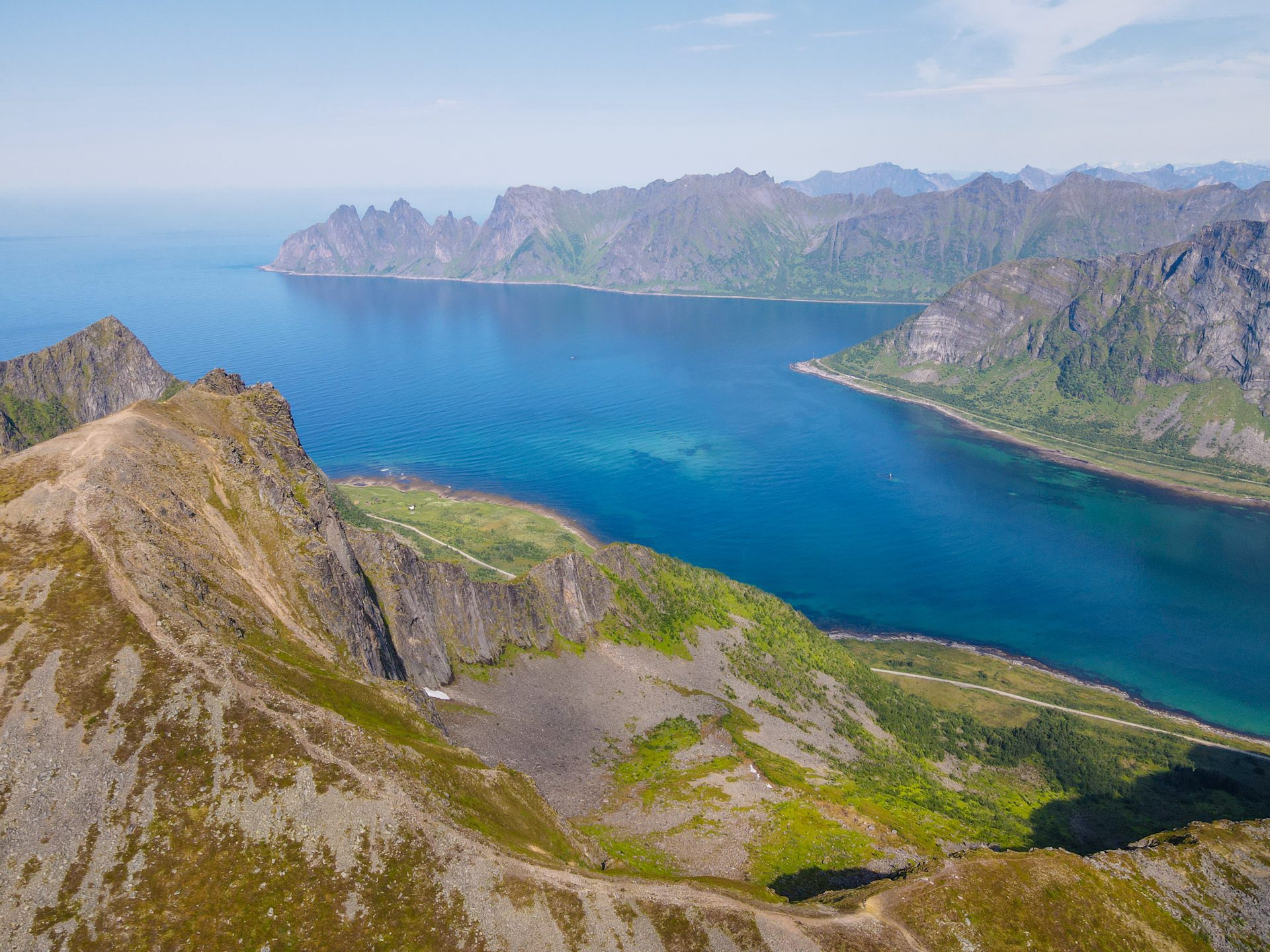
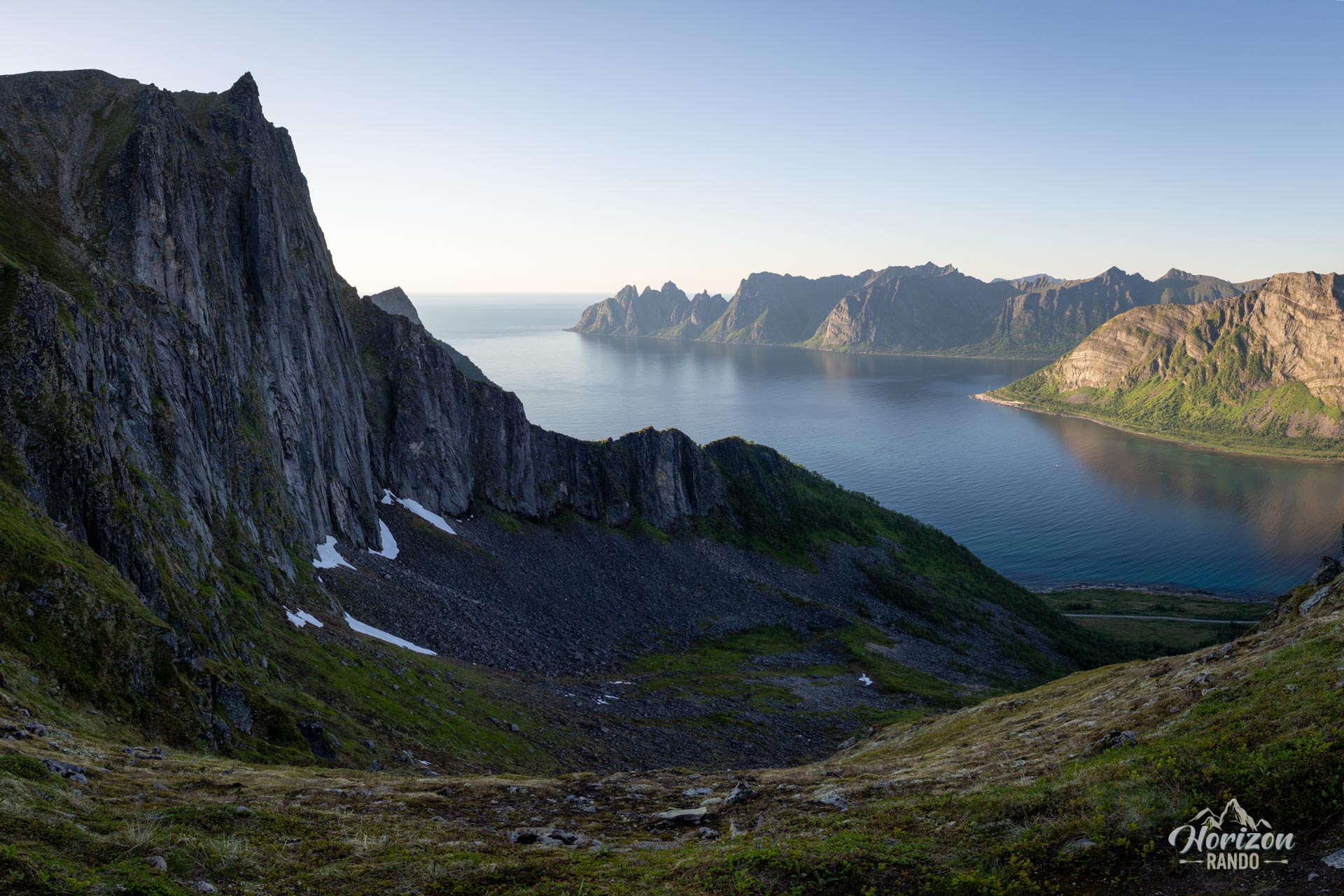
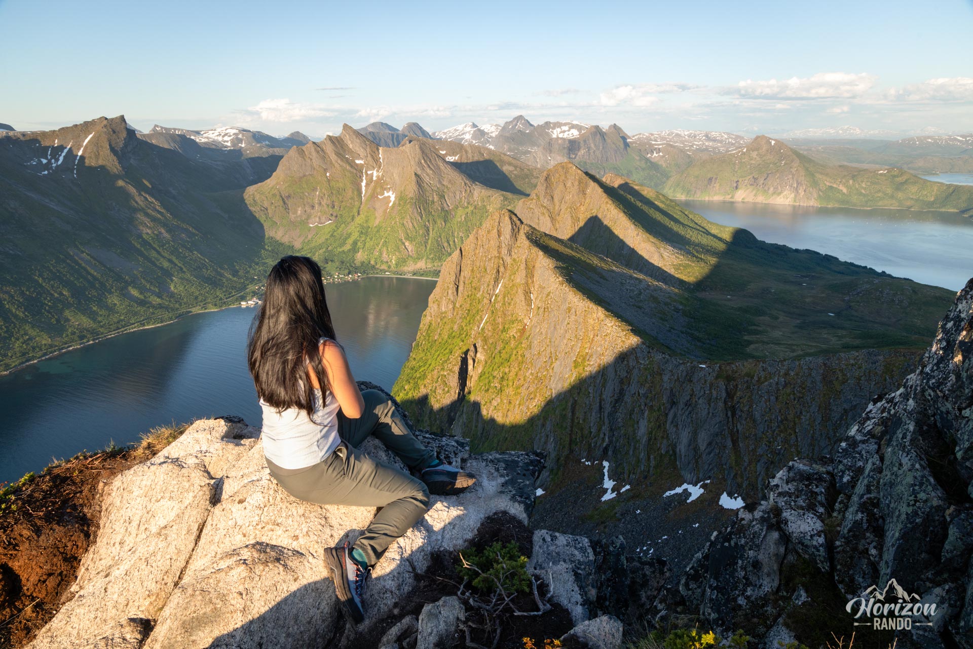
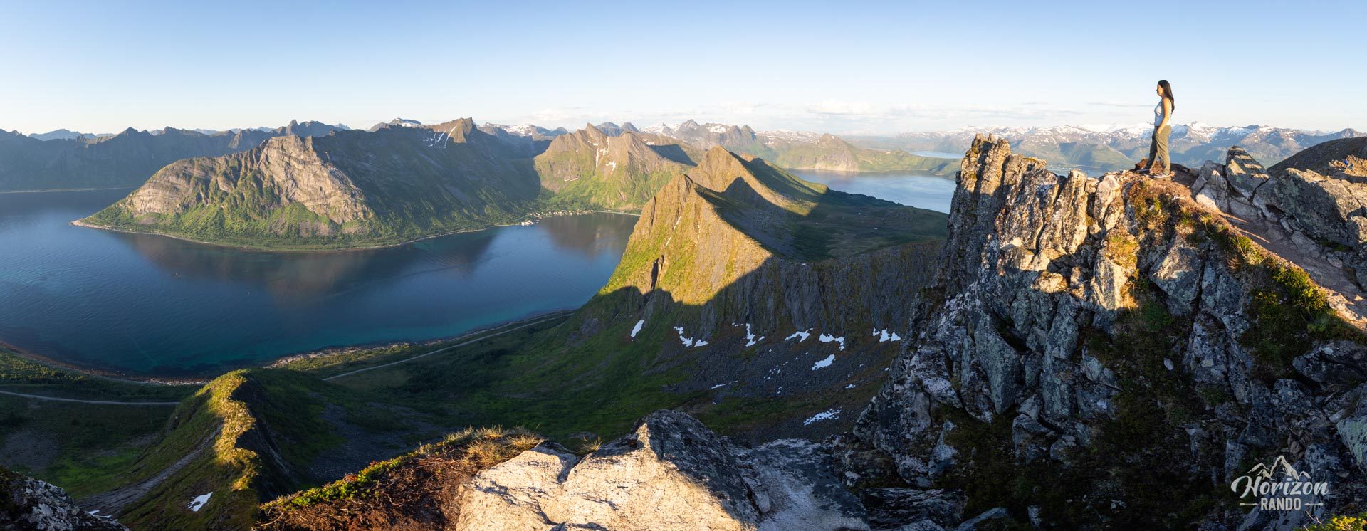
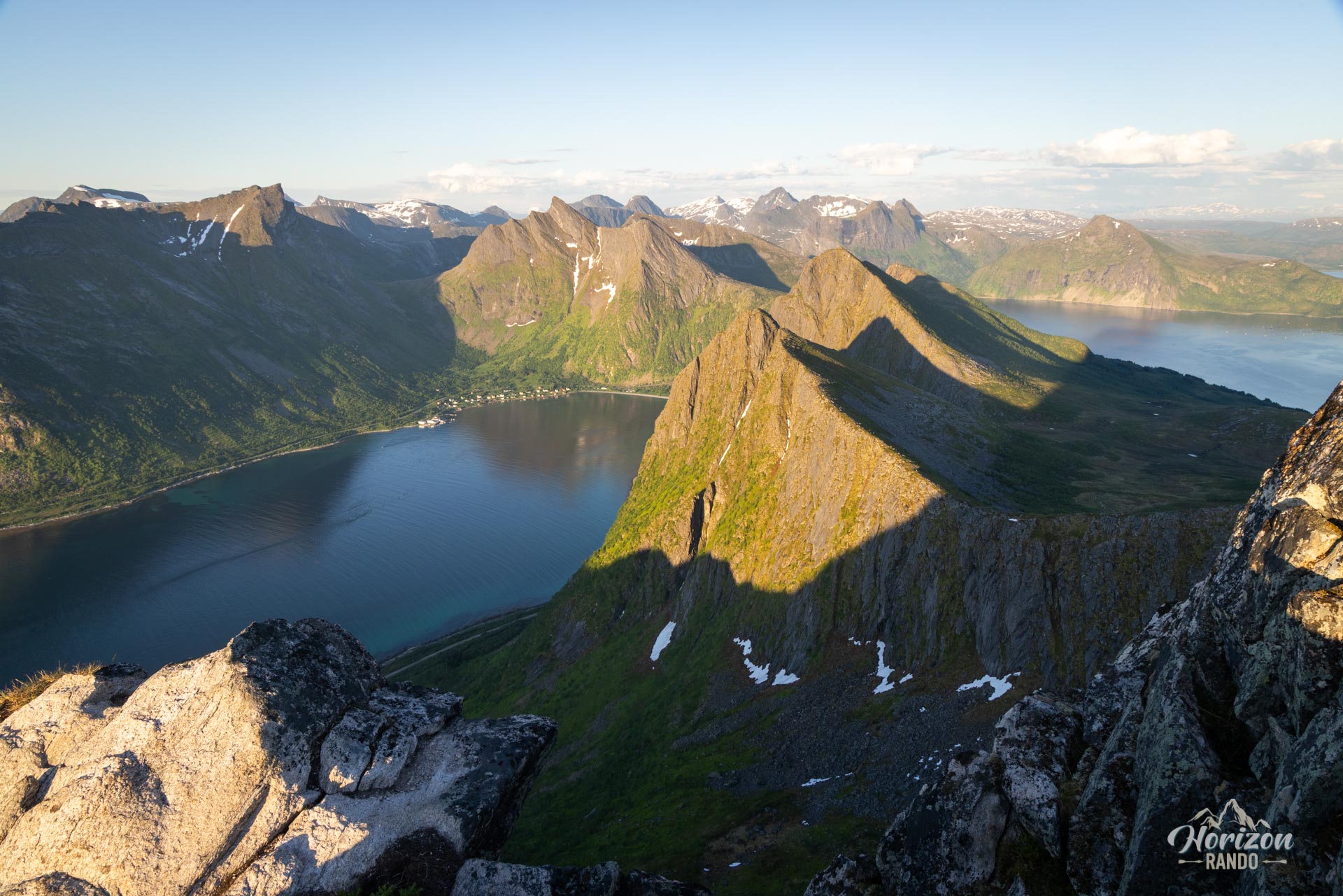
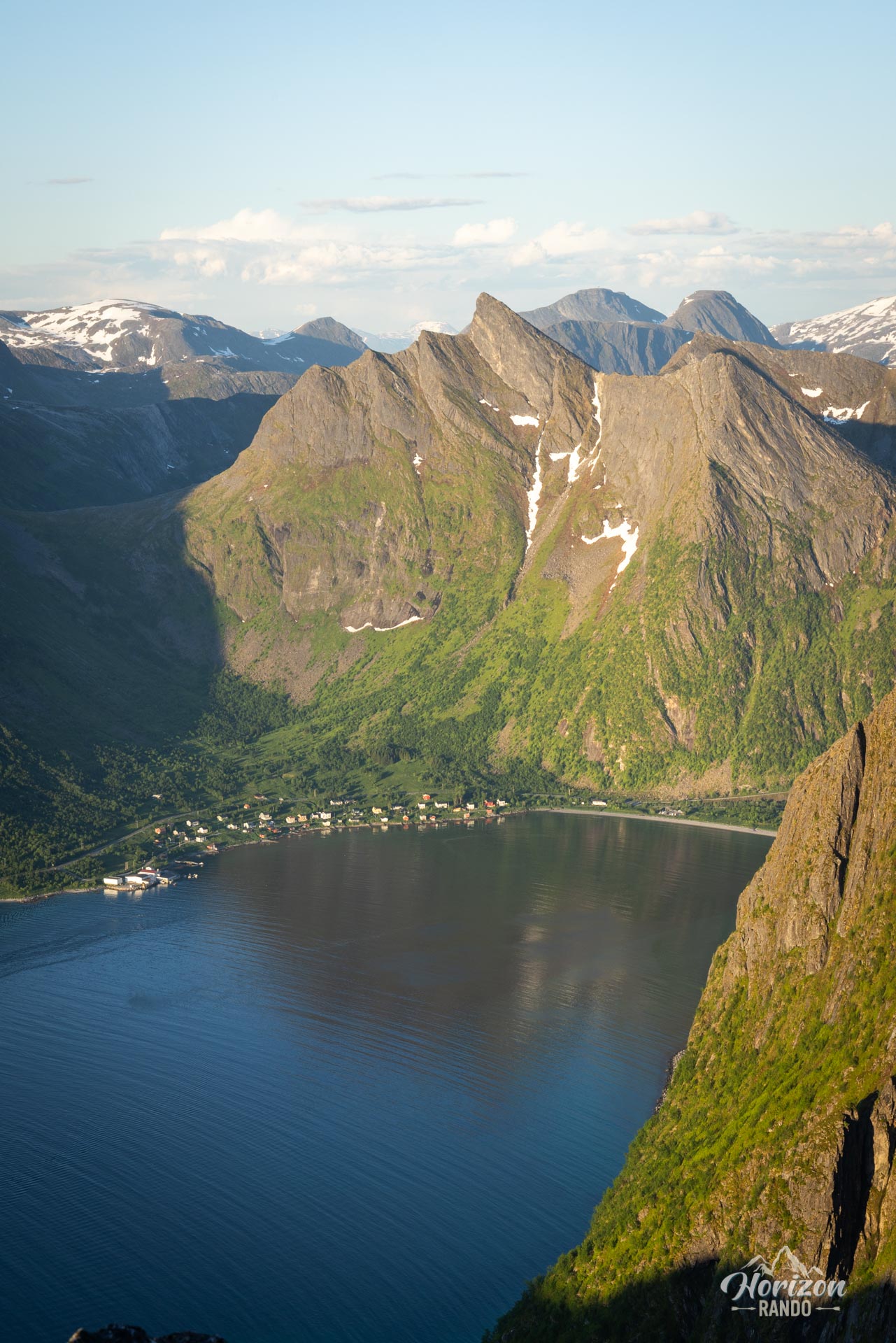
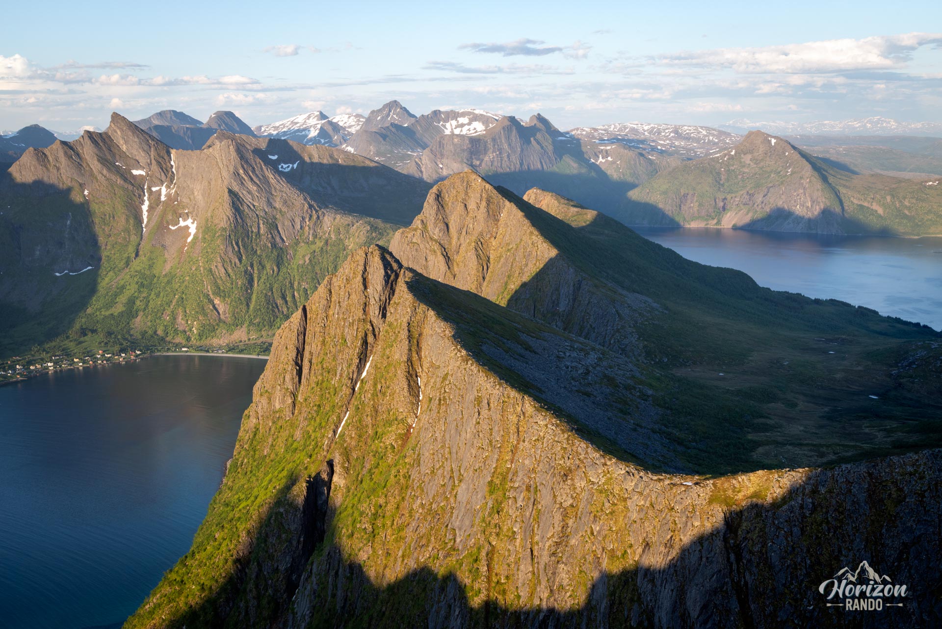
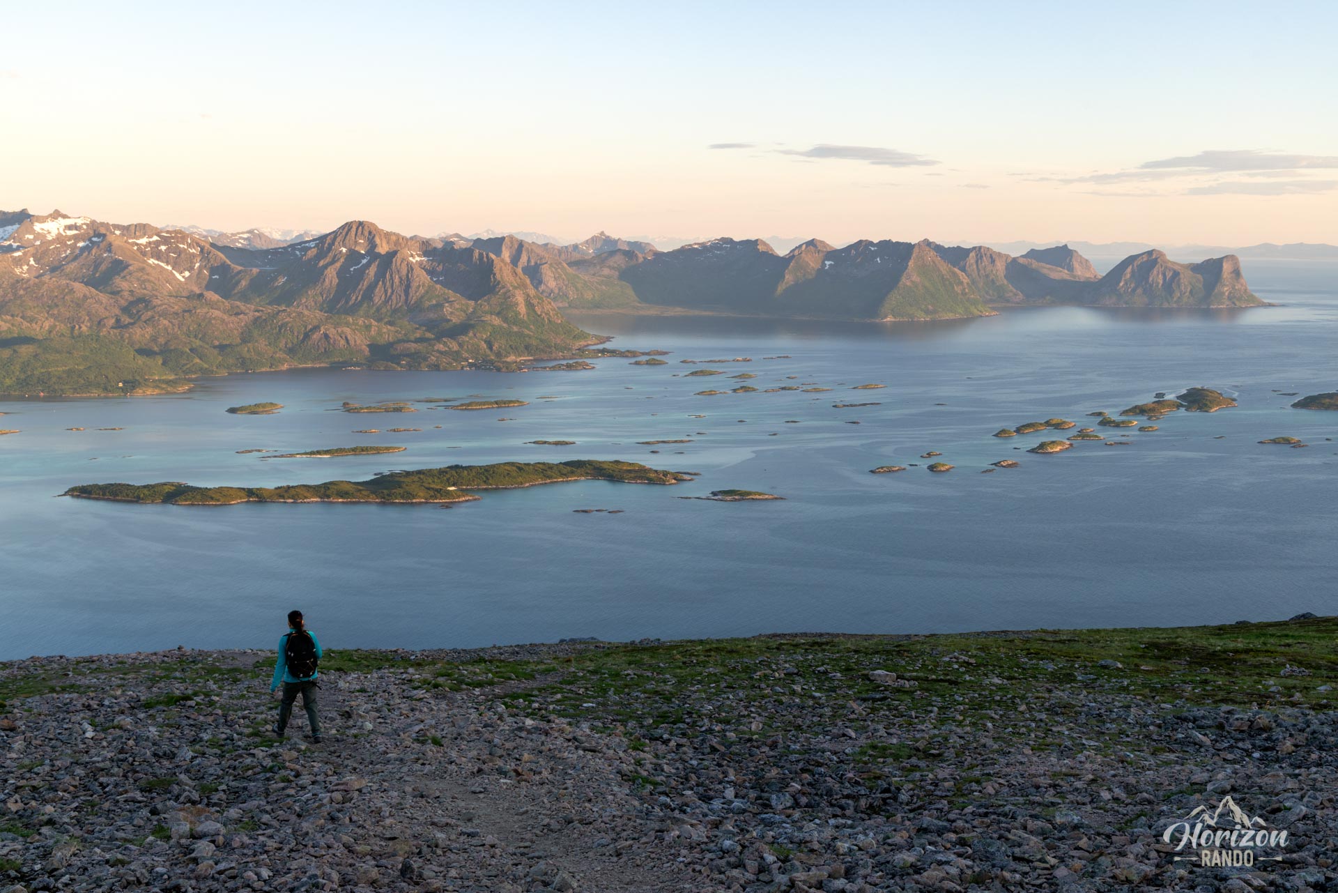
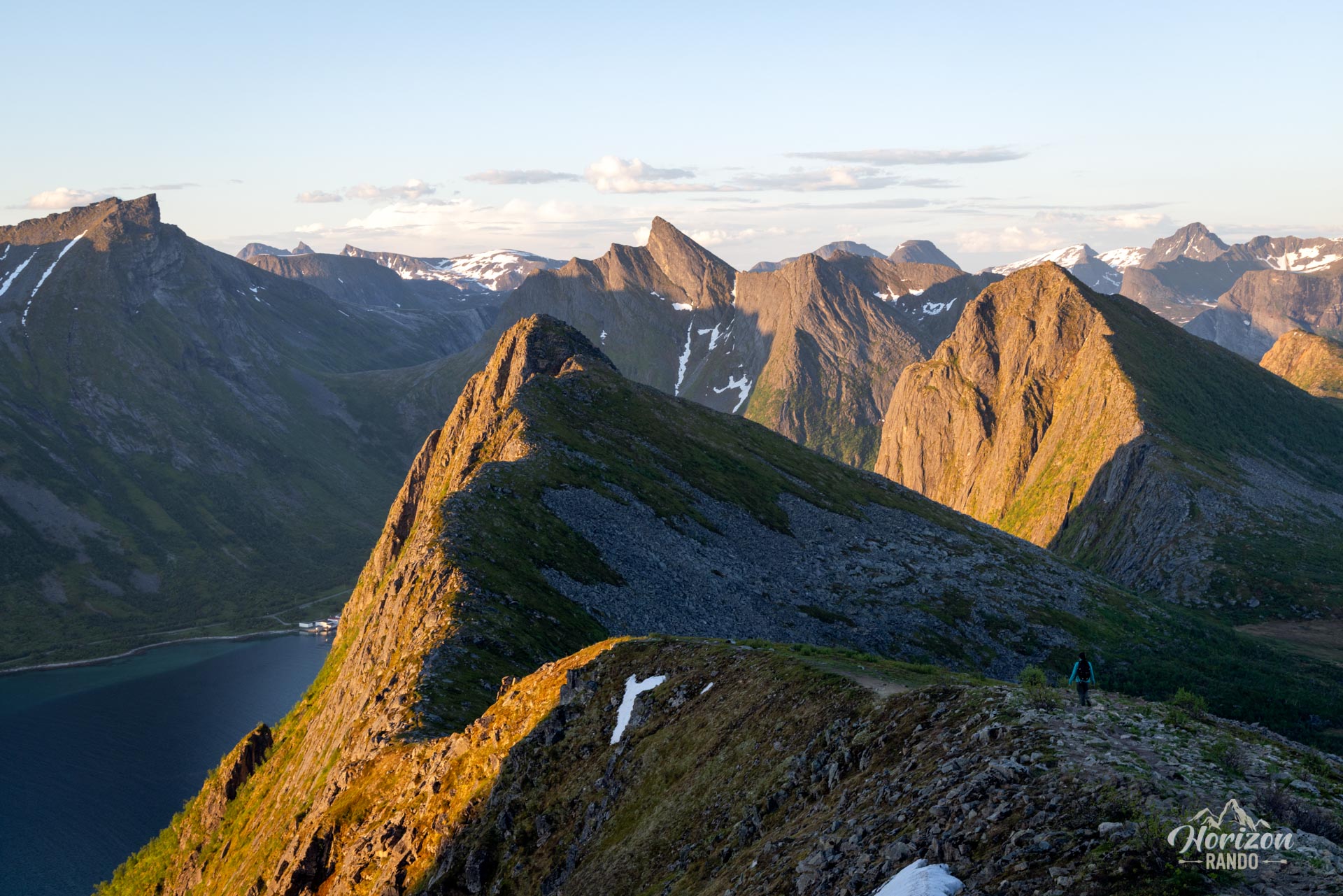
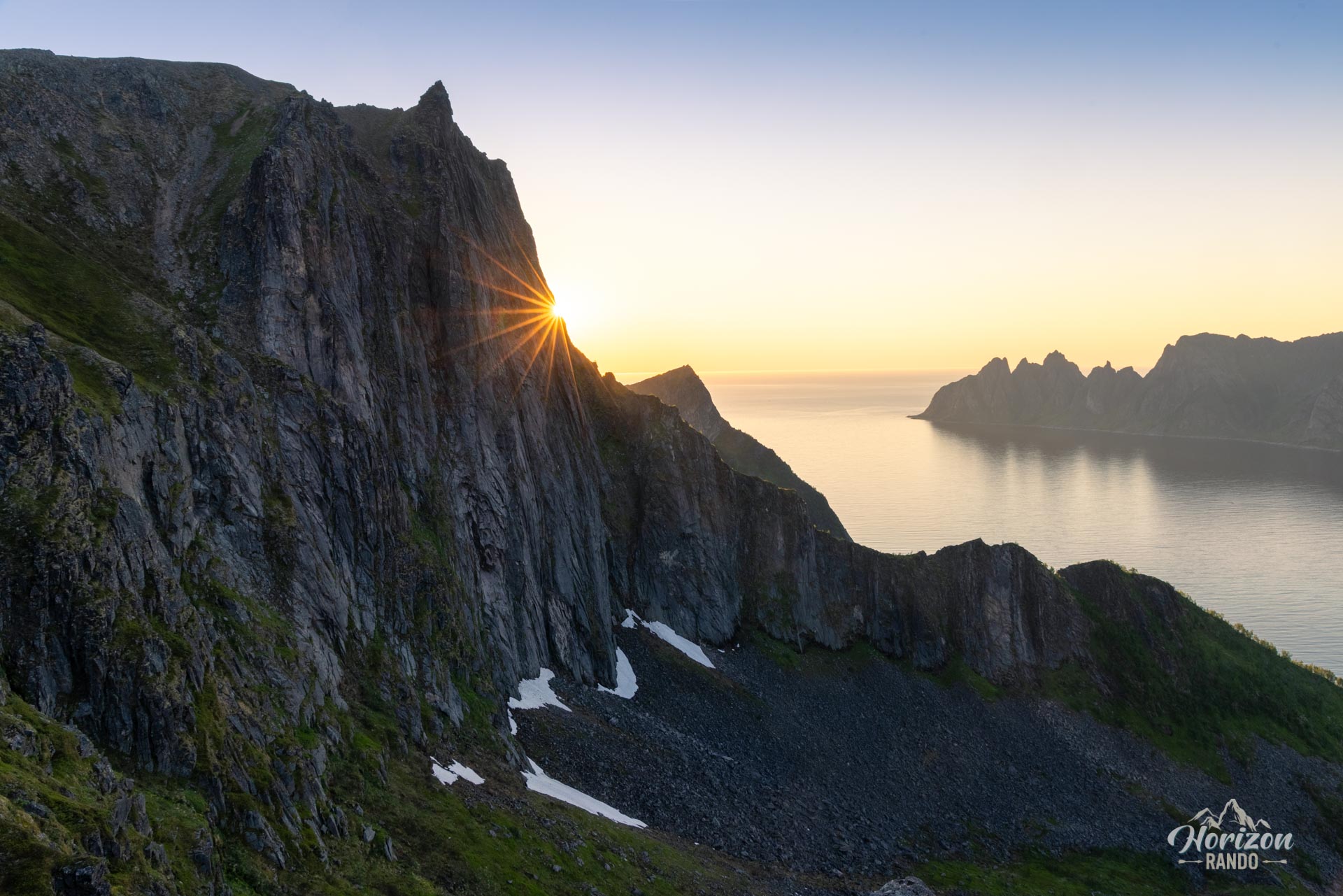
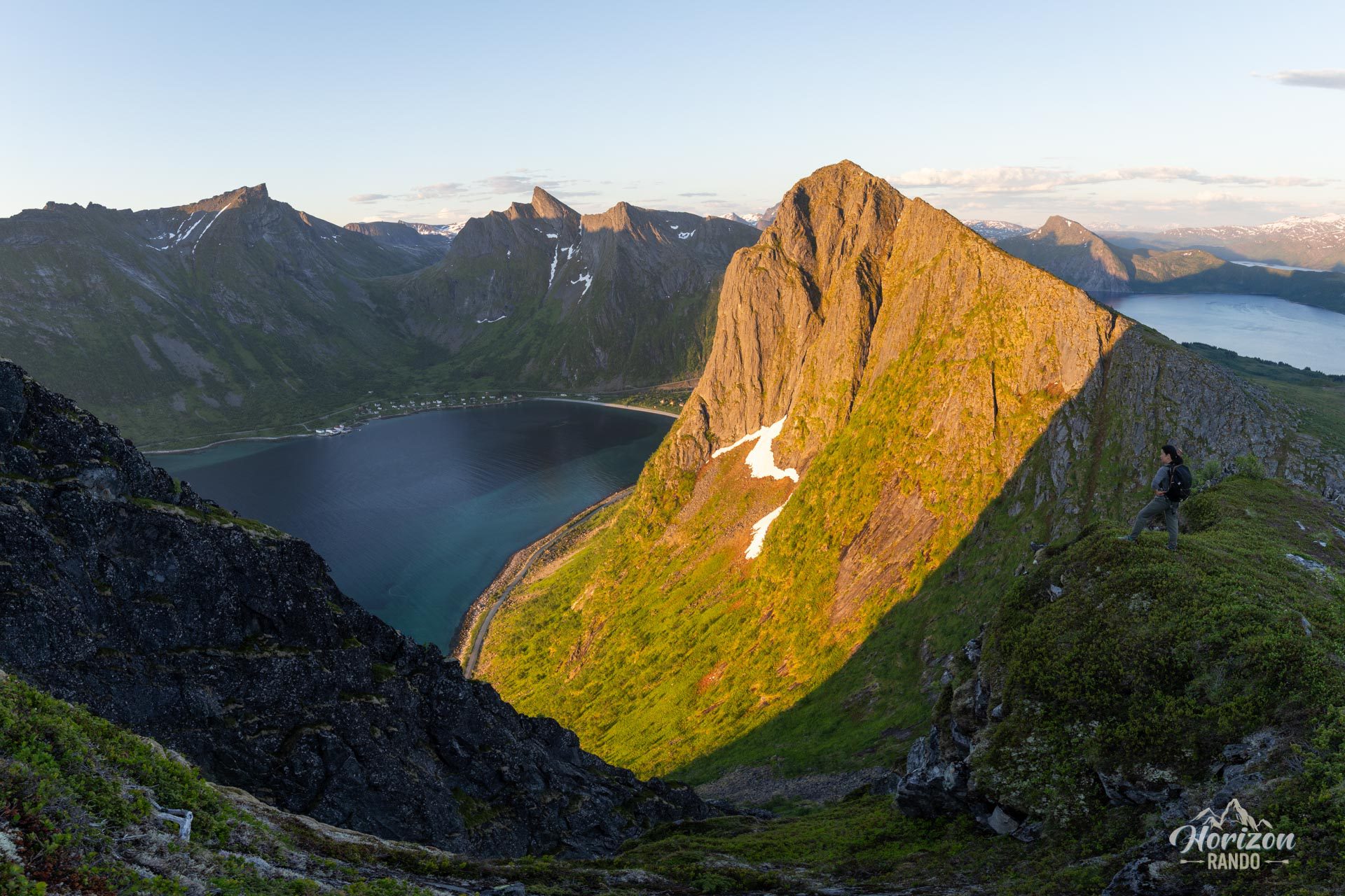
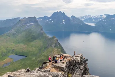
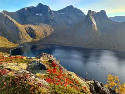
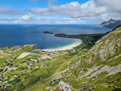
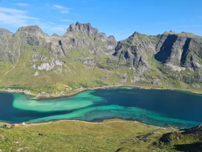
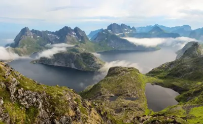
The hike up Husfjellet is an accessible climb that offers magnificent, panoramic views of the northern part of Senja Island. From the summit, you can enjoy a magnificent 360° view of the Steinfjorden and Bergsfjorden fjords, which are dotted with small islands, as well as the impressive surrounding mountain ranges.
This hike is ideal for families and offers an excellent introduction to the spectacular landscapes of this wild island in northern Norway.
Map and elevation profile of the hike
Husfjellet Hike
Difficulties of the hike
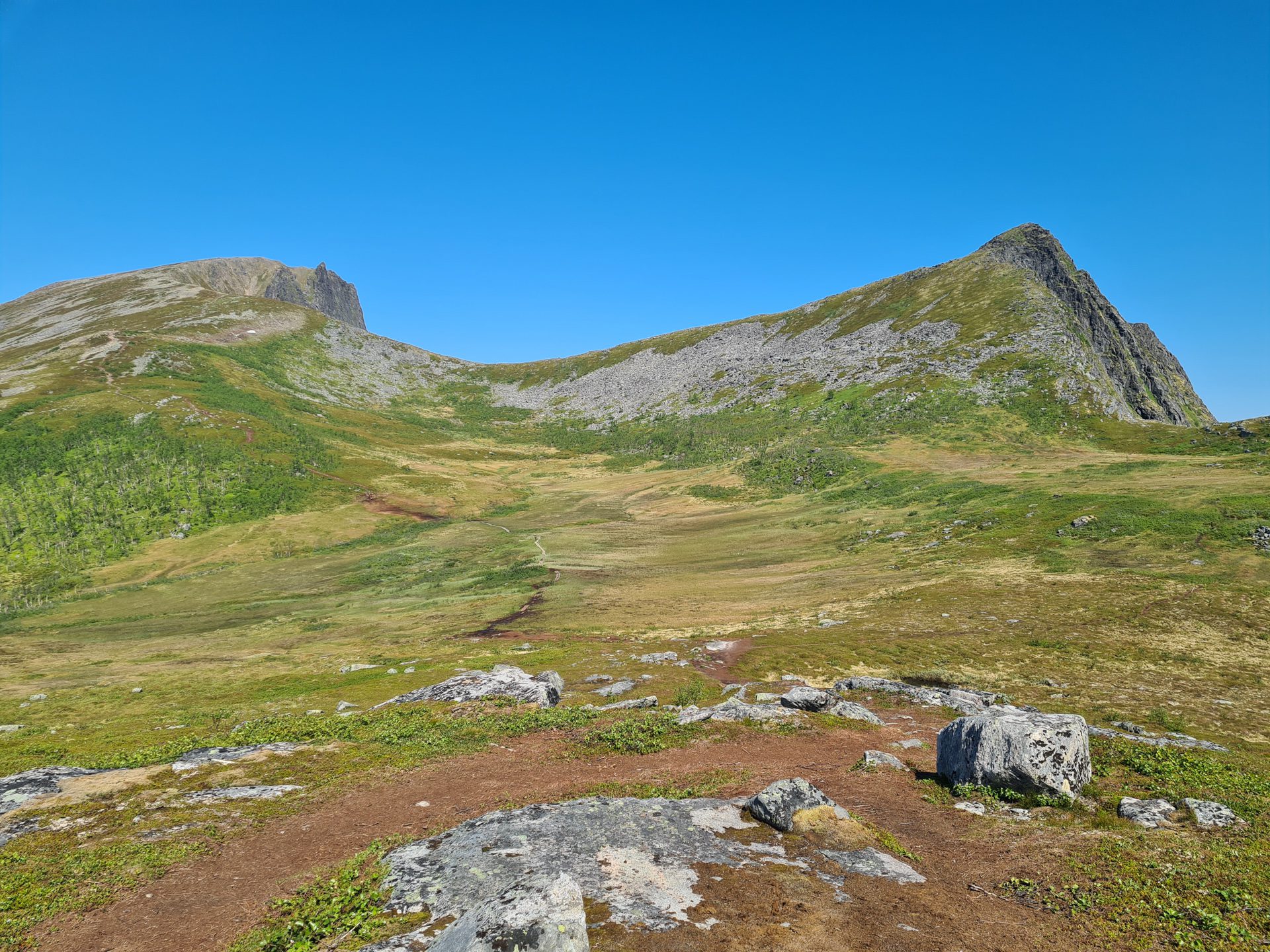
The trail is clearly marked and easy to follow, with no technical difficulties. The slopes are relatively steep, though less so than those generally found on Senja Island.
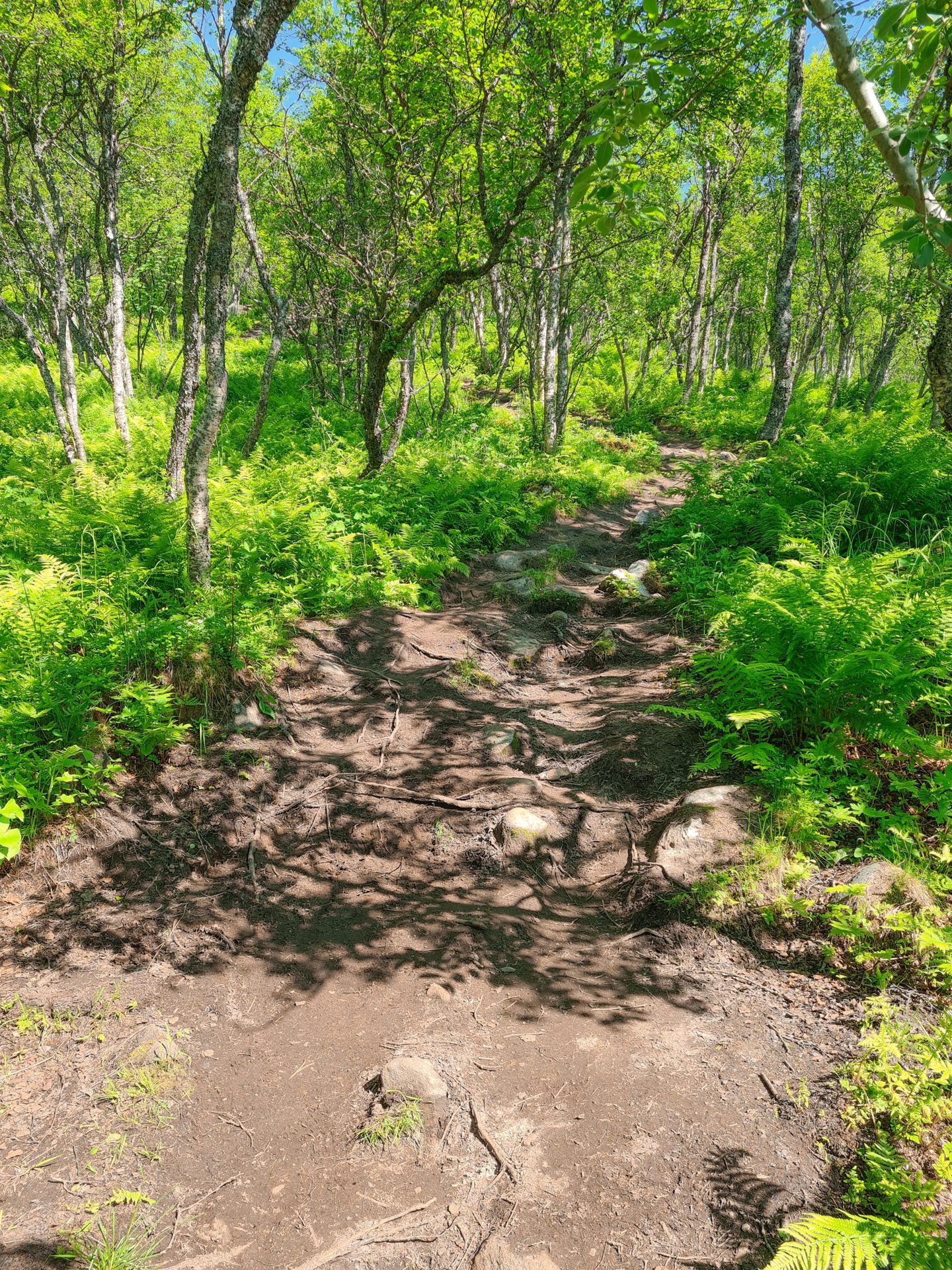
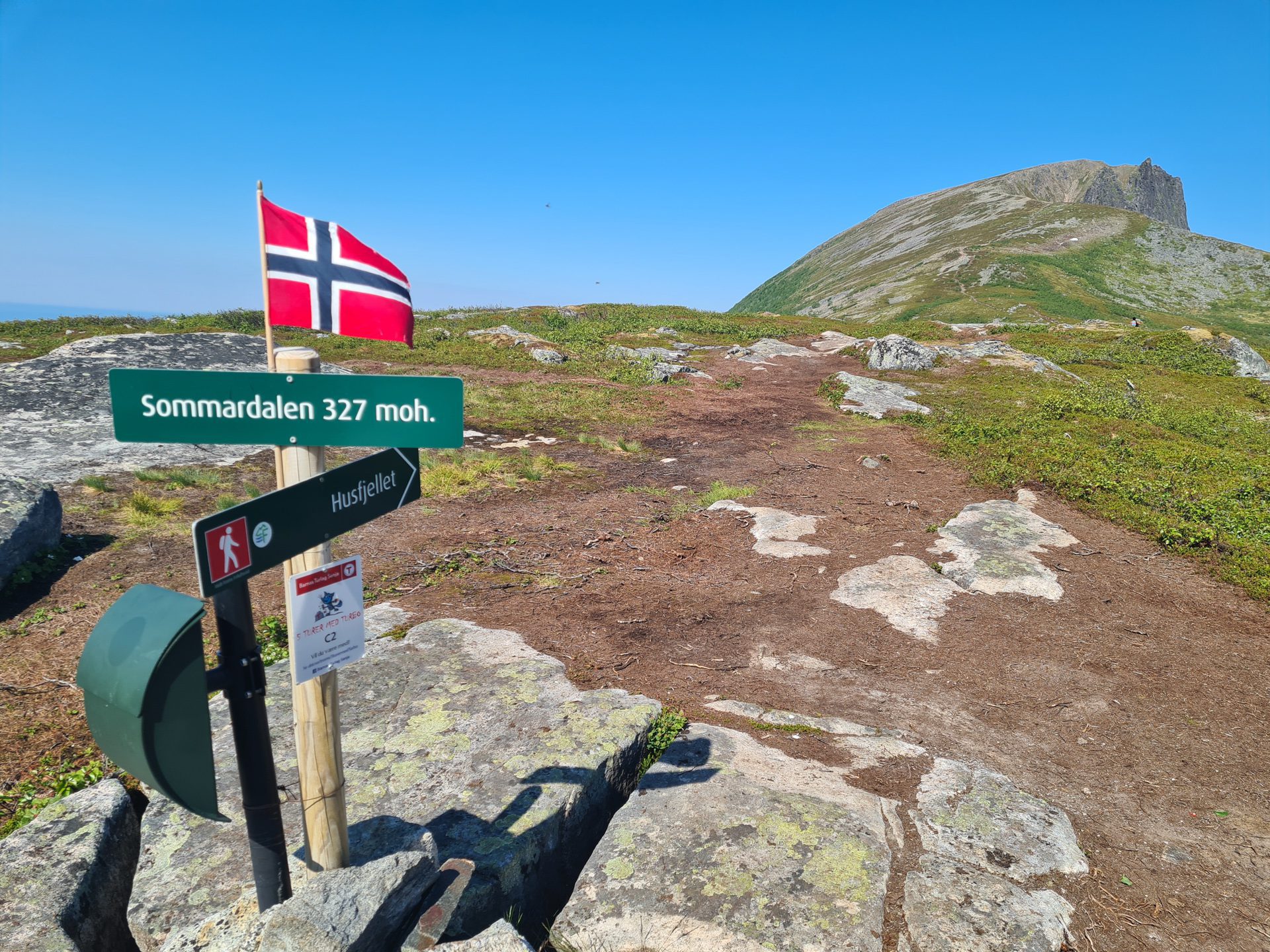
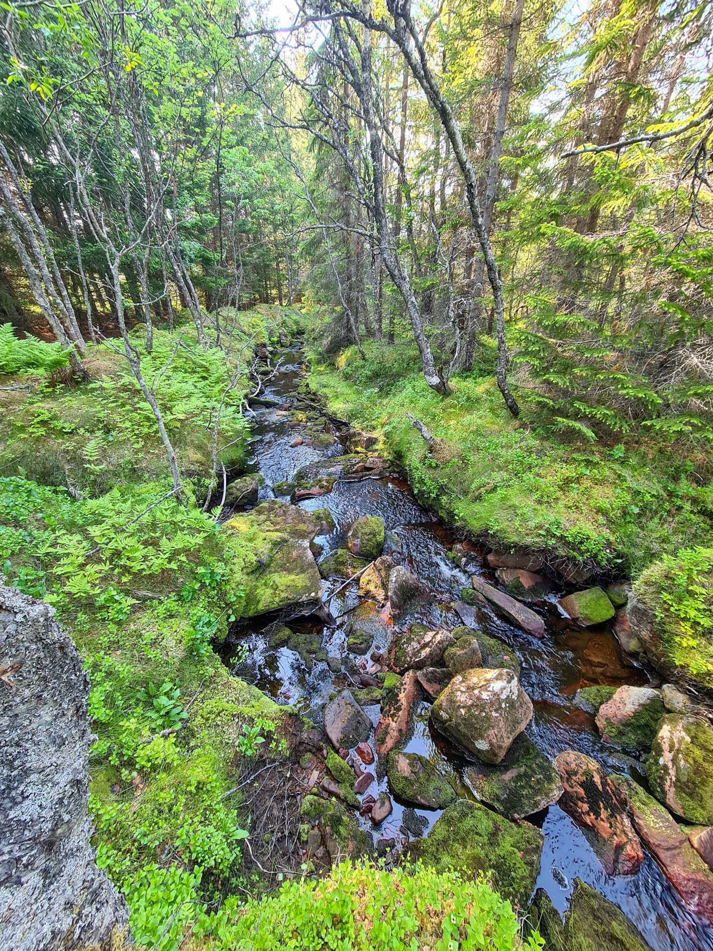
The beginning of the hike can be wet and muddy, especially in the marshy section after Sommardalen. Wooden planks protect the peat bogs, so it is important to stay on the trail. The final ascent is rocky and steep but not difficult.
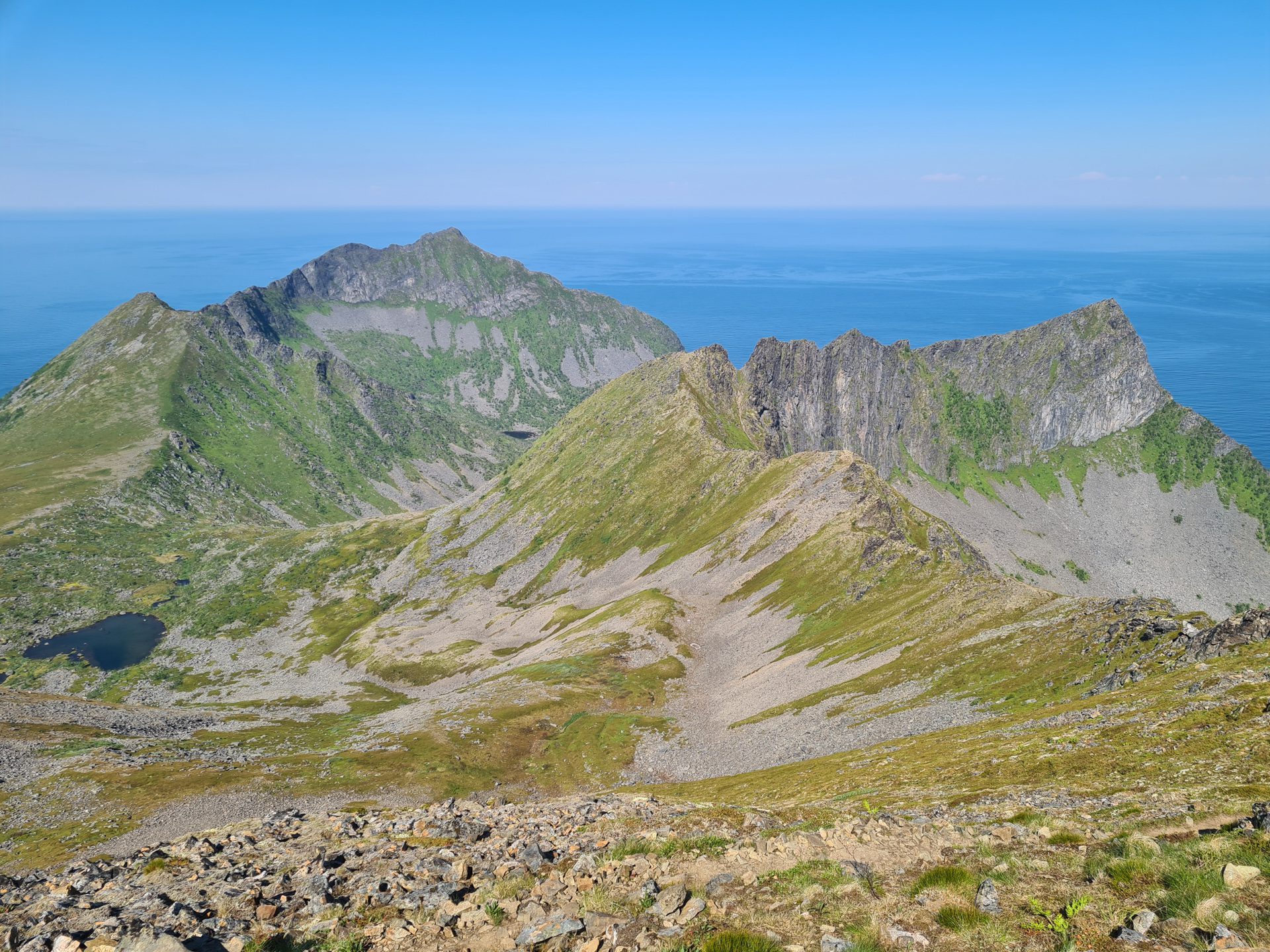
Descent options: You can either take the same route or make a small loop by continuing along the ridge toward Litjebrusen. This route offers beautiful views of Steinfjorden and the summit of Storbrusen.
What you'll love
- An exceptional 360° panorama: breathtaking views of the many islands towards Hamn, the Steinfjord, and the Okshornan mountain range to the east, as well as the Litjebrusen ridge to the south.
- Highly accessible: This hike is ideal for families and offers excellent value for the effort.
Practical information
Starting point
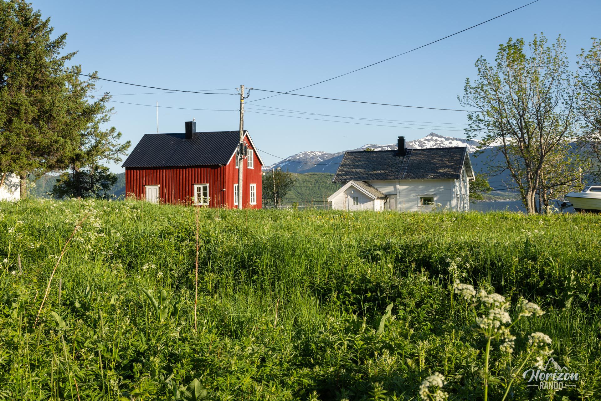
The hike starts from the parking lot in the center of the village of Skaland, opposite the shops.
Best time to go
June to September on average. See the Norway FAQ for more details.
Safety
Contrary to what some photos might suggest, the hike is not vertiginous, and it is never necessary to approach the cliff. People afraid of heights should avoid the two optional peaks at the summit.
Camping
You can pitch a tent near Sommardalen.
Photos
See all 24 photos →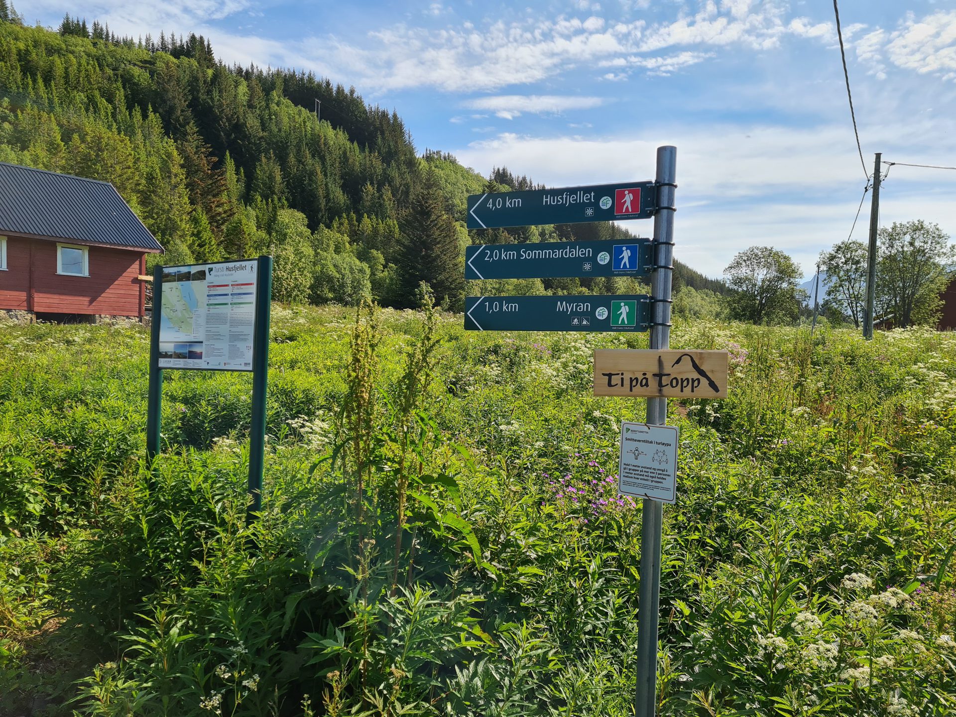
More hikes to do in Norway
Nearby hikes



























Printed from www.horizonrando.fr/en/norway/husfjellet/