





Barden Hike
Key facts about the hike
- Difficulty
- Moderate Hikes are rated from very easy to very hard: my difficulty scale
- Duration
- 3h30 Estimated time, short breaks included (photos, water, snacks), picnic not included: how it is calculated
- Distance
- 7.1km
- out and back
- Elevation gain
- 570m
- Type of route
- Out and back
- Maximum altitude
- 659 m
- Vertiginous Five levels, depending on how exposed the route is: the levels in detail
- Moderately
- Marked
- Yes
- Popularity
- Low
- Island
- Senja
- Start point
- 69.47505, 17.69565
- Activity
- Hiking
Hike overview
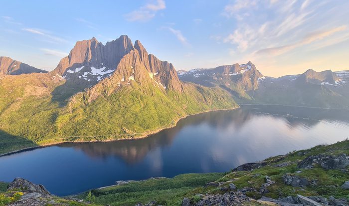
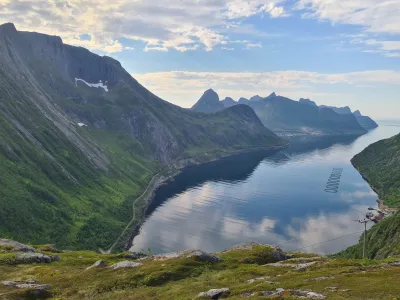
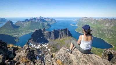
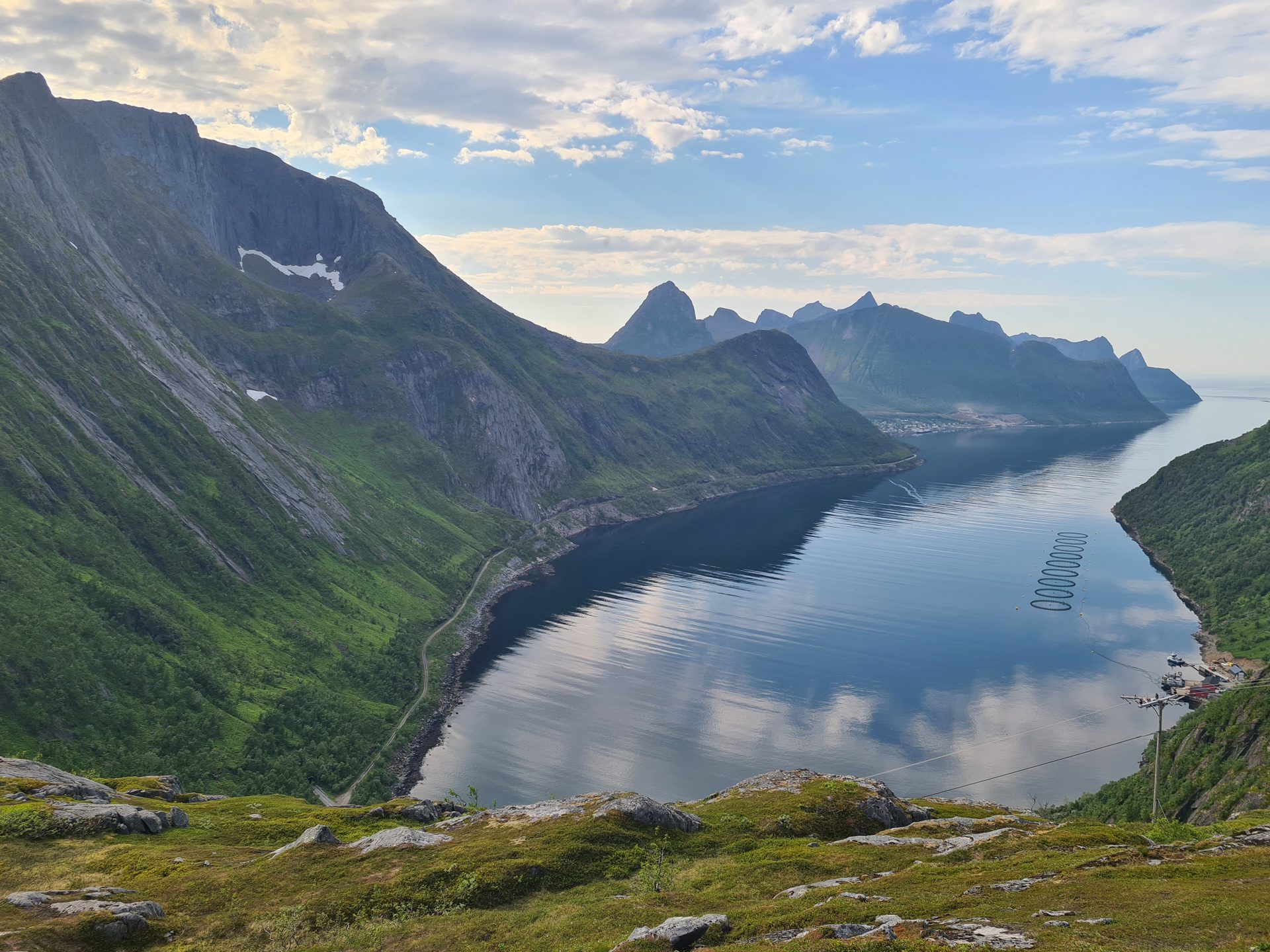
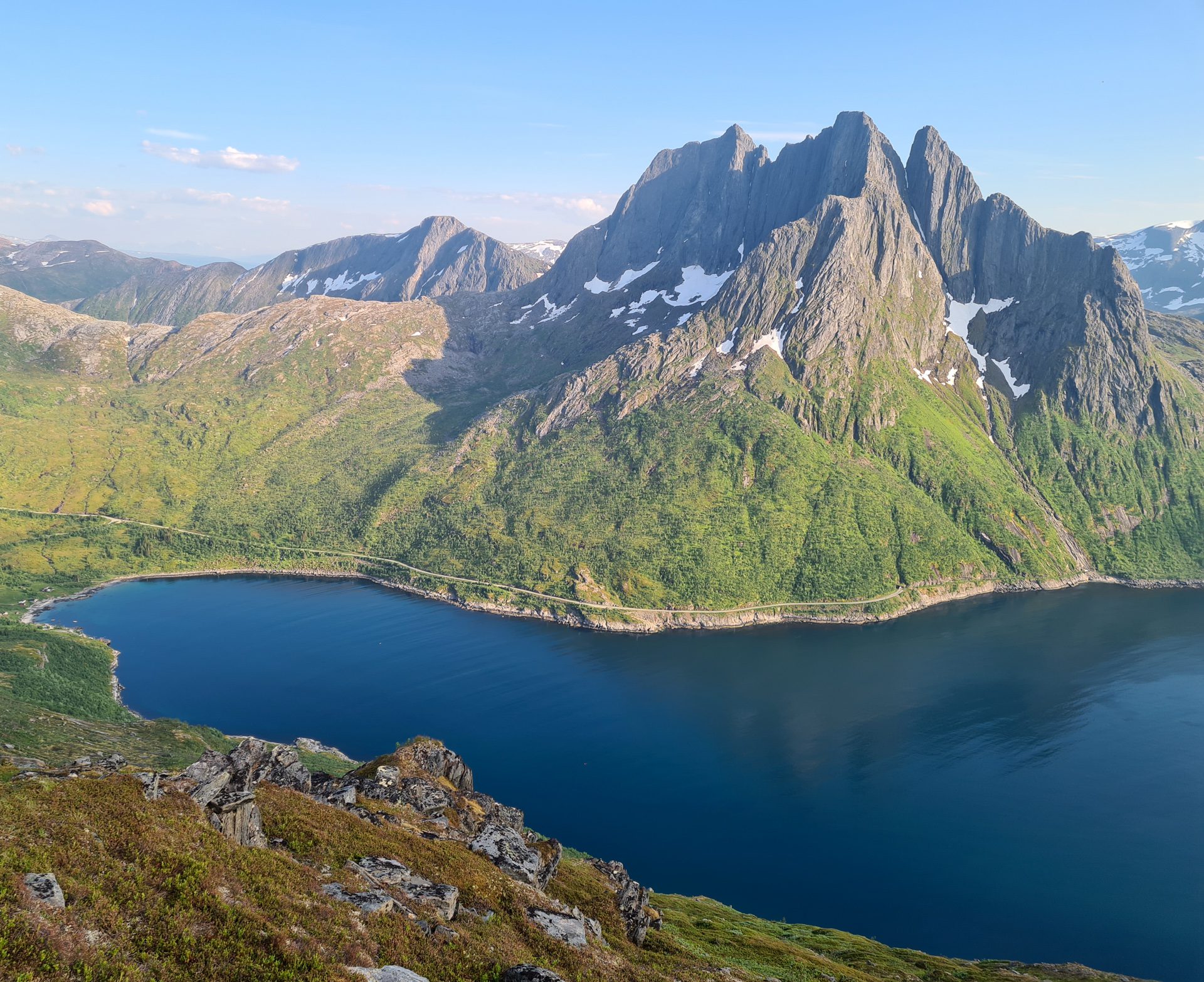
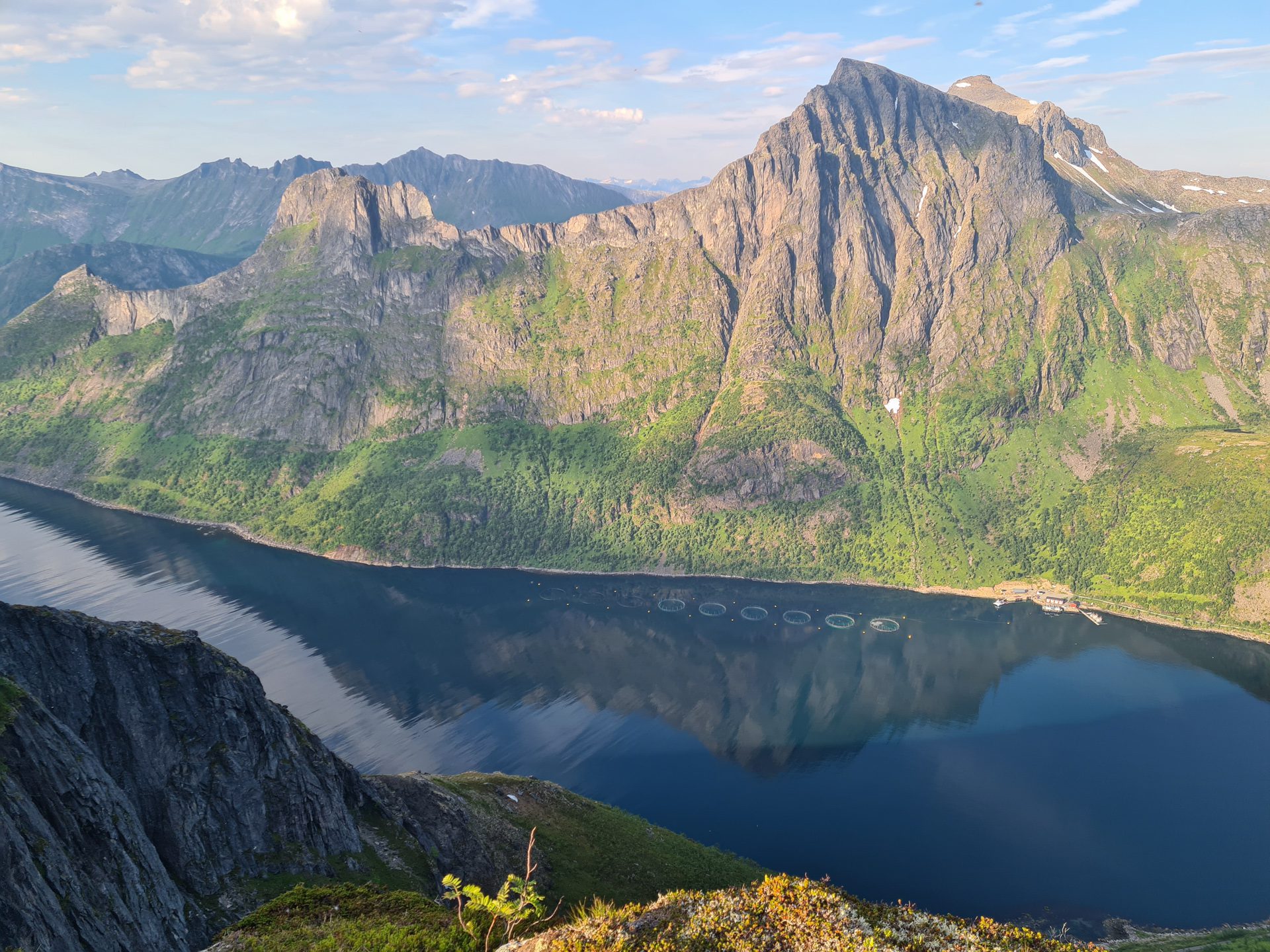
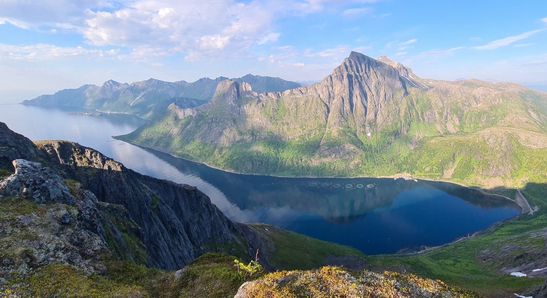
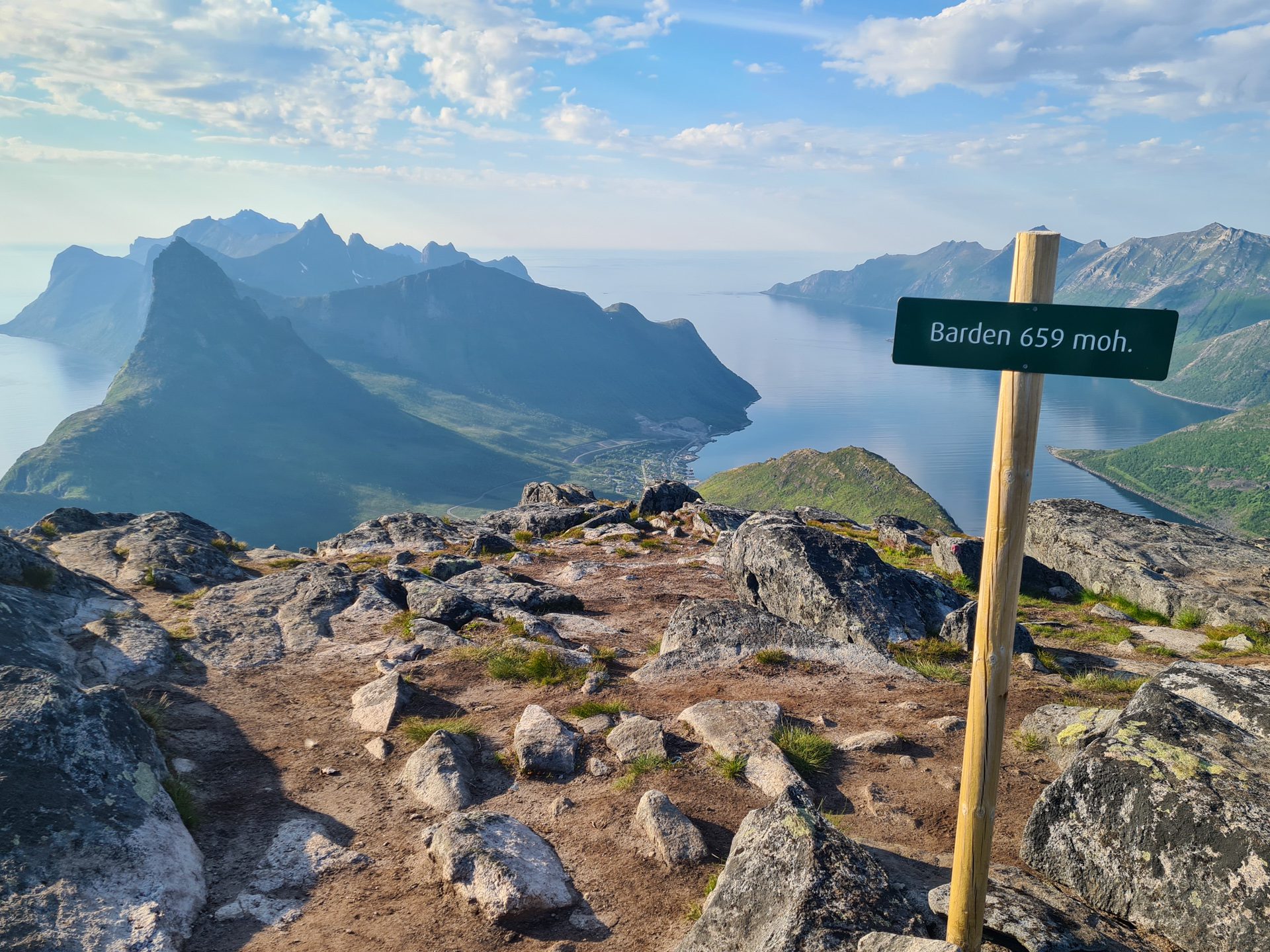
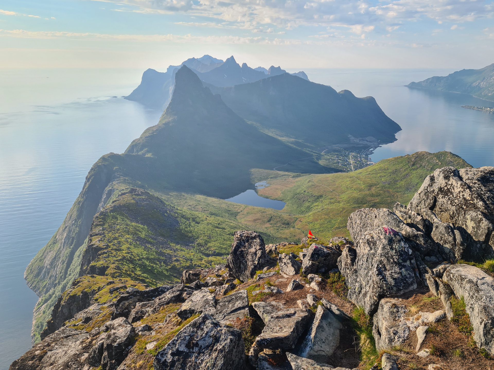
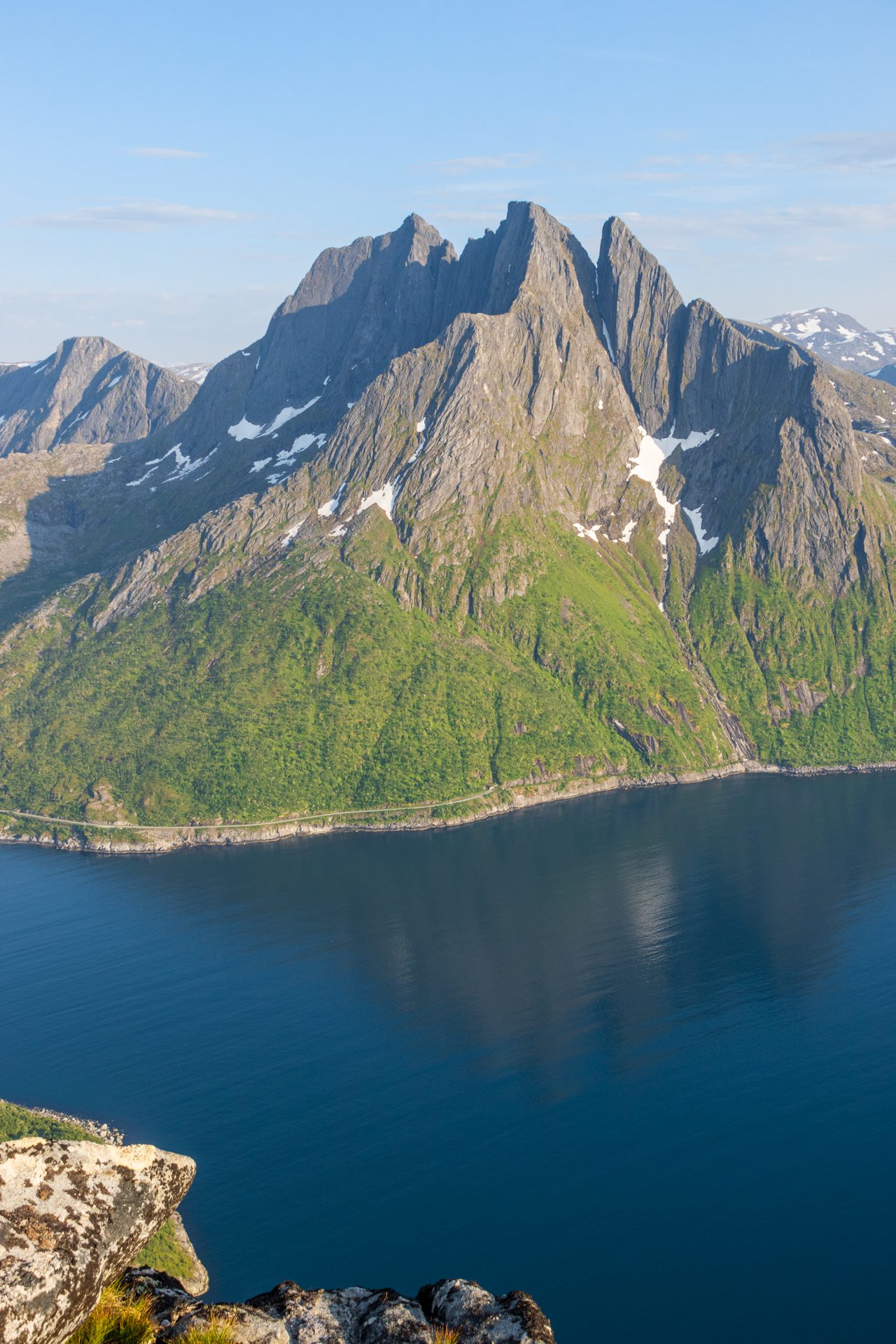
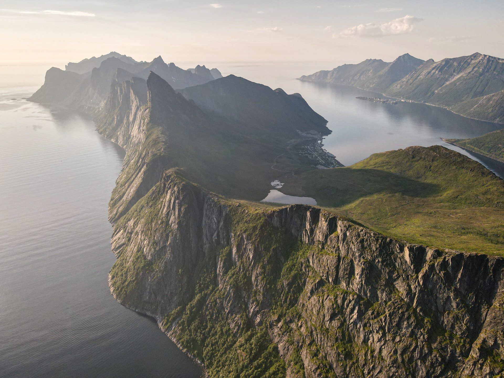
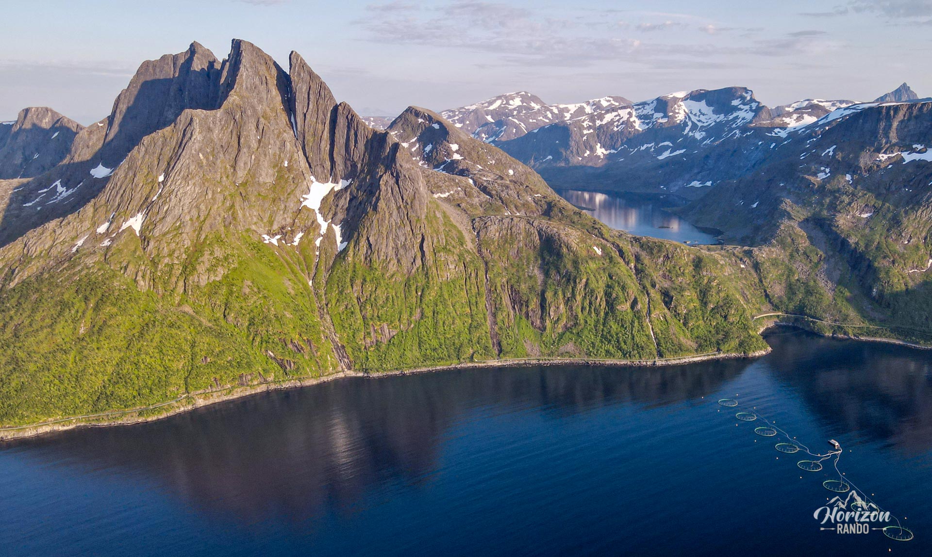
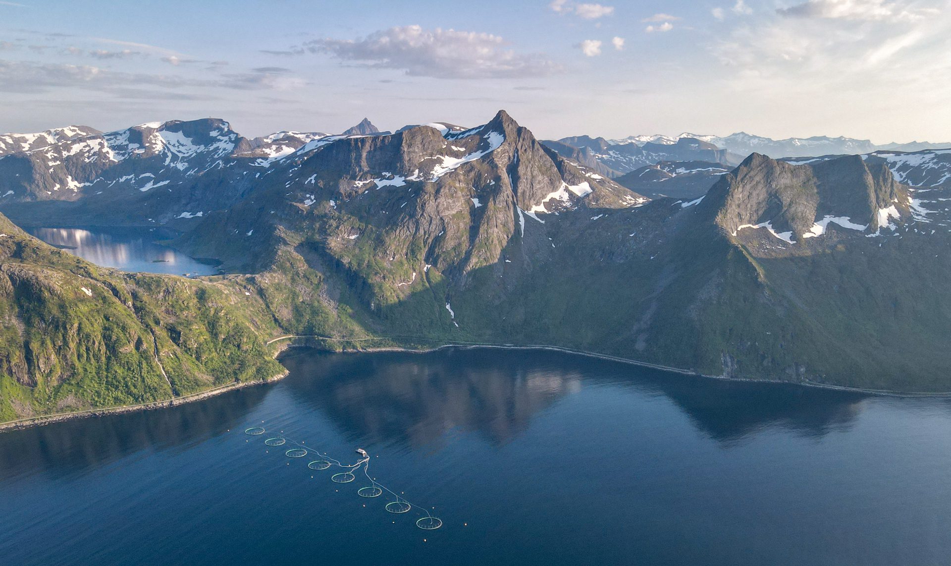
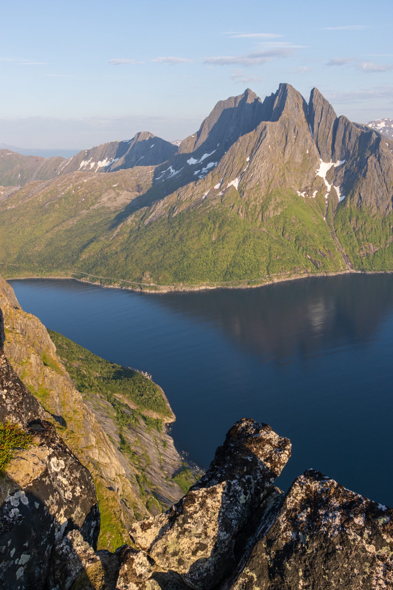
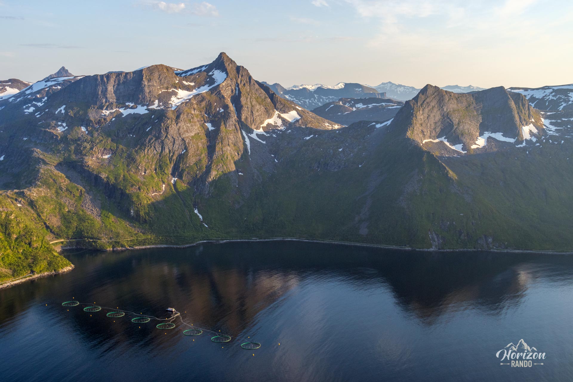
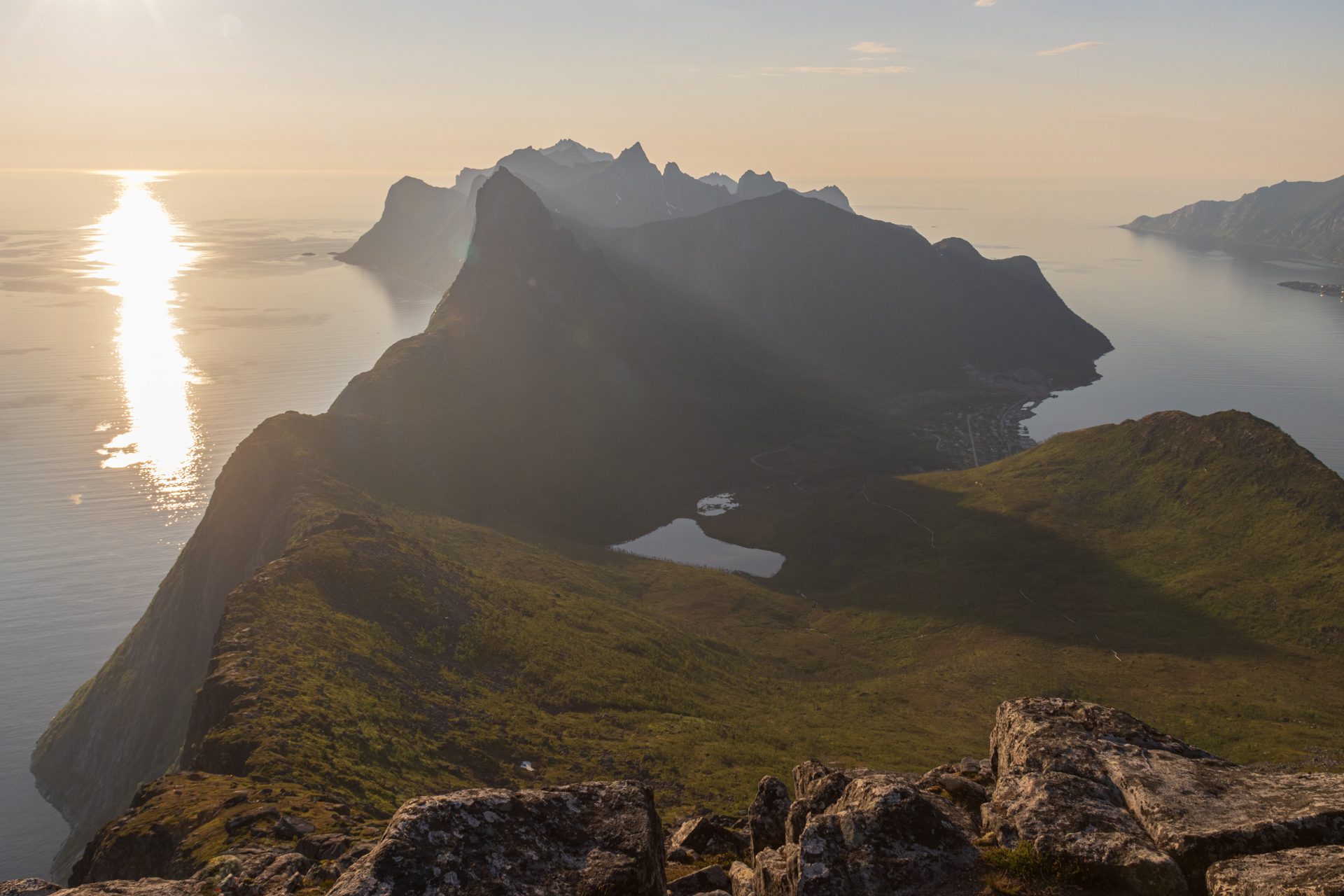
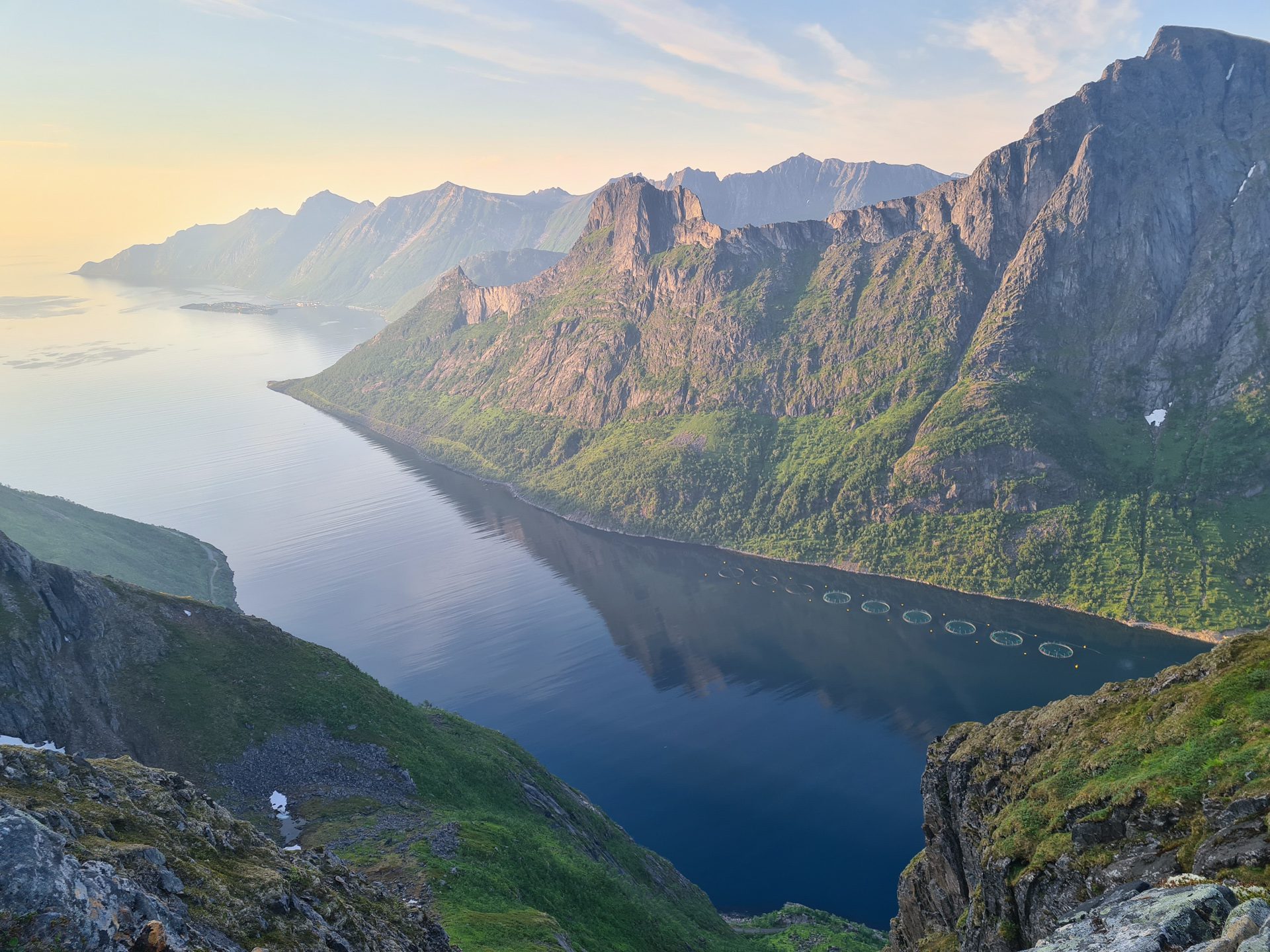
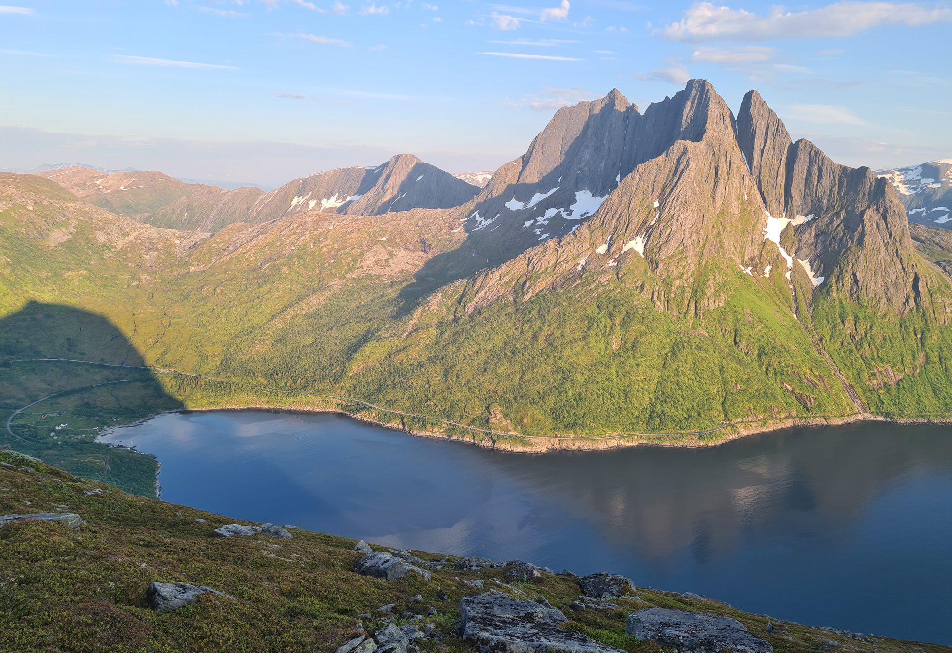
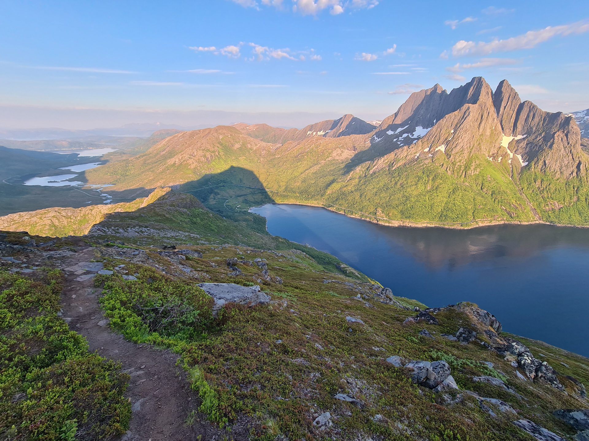
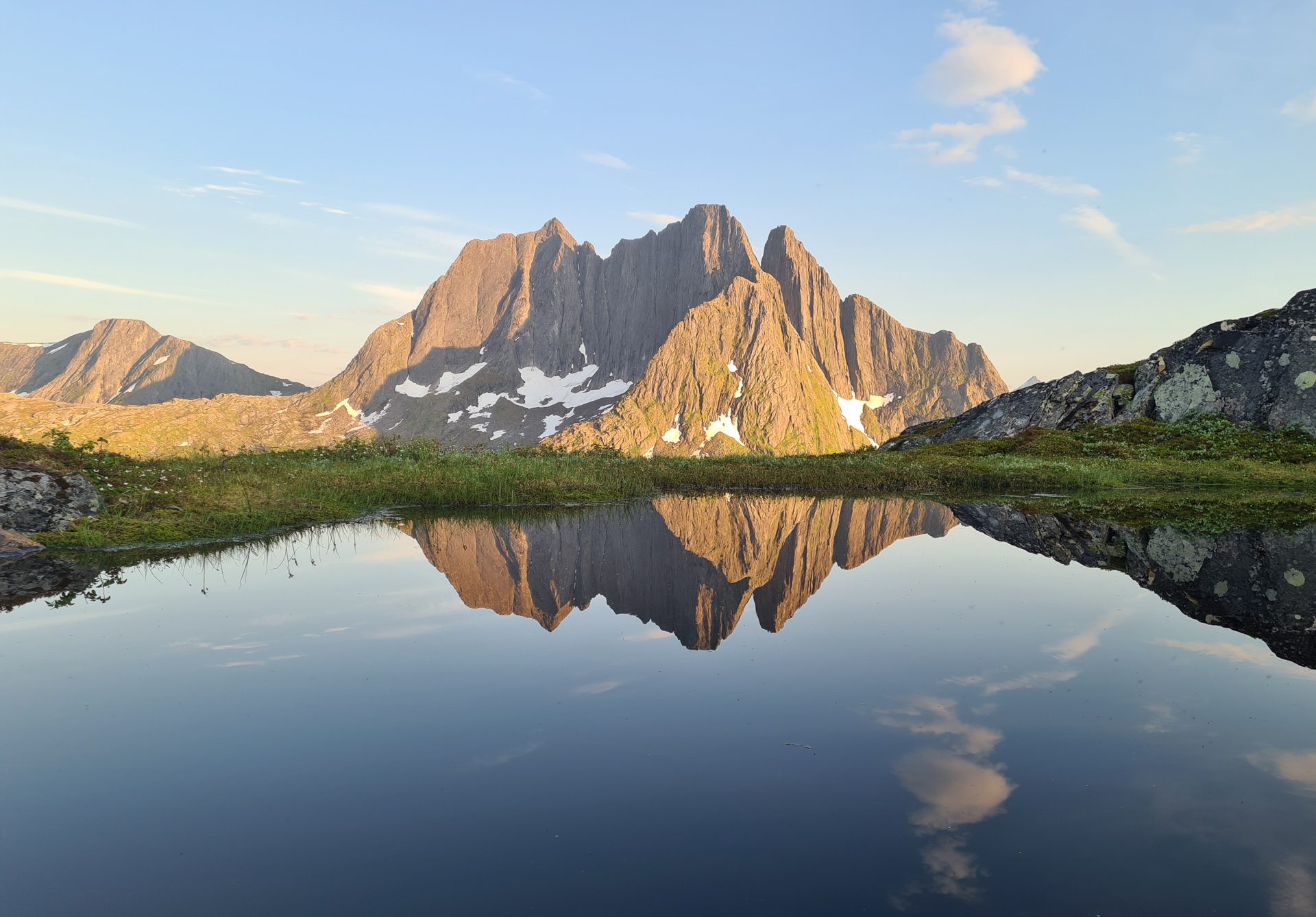
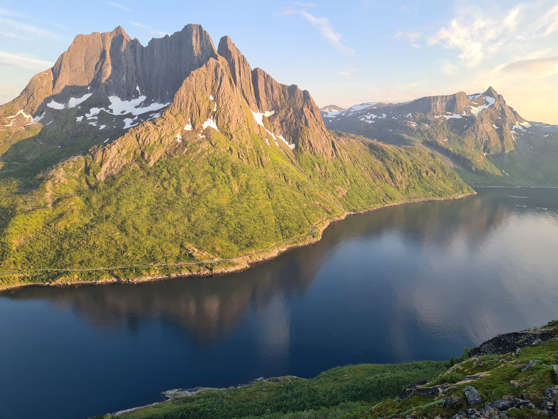
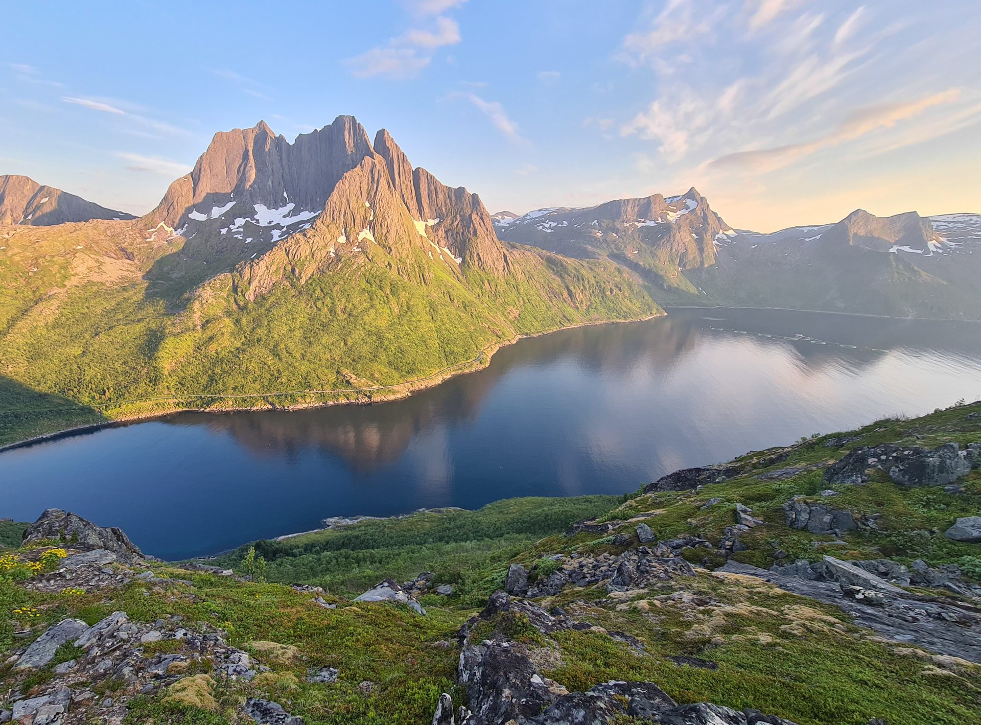
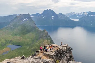
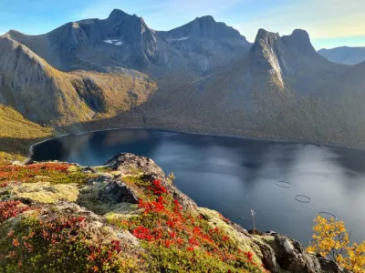
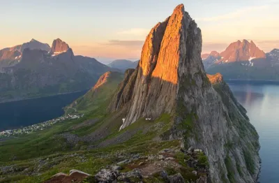
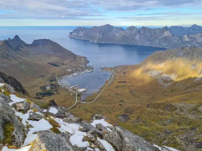
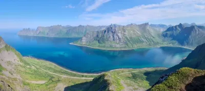
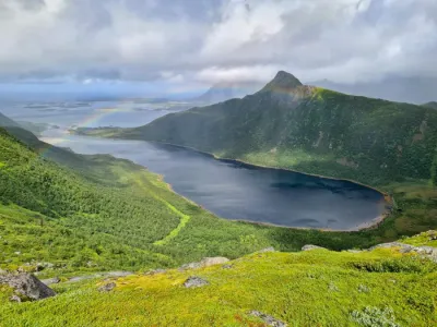
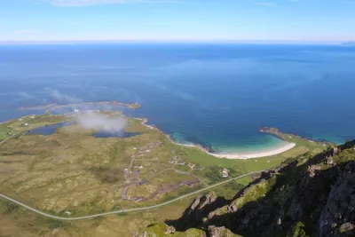
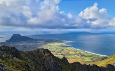
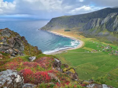
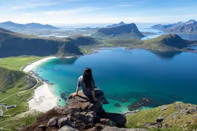
The Barden hike, located on Senja Island in Norway, is a favorite among locals. It offers a relatively accessible route with breathtaking views of the island's iconic peaks. From the 659-meter summit, you will enjoy a 360-degree panorama of the Mefjorden and Ørnfjorden fjords, as well as the spectacular peaks of Segla, Keipen, Breitinden, and Grytetippen. Although less famous than its neighbors Segla or Hesten, this hike is ideal for those looking to escape the crowds while enjoying spectacular views.
Map and elevation profile of the hike
Barden Hike
Difficulties of the hike
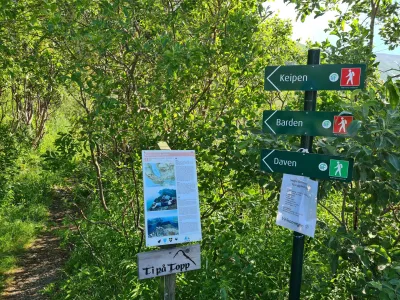
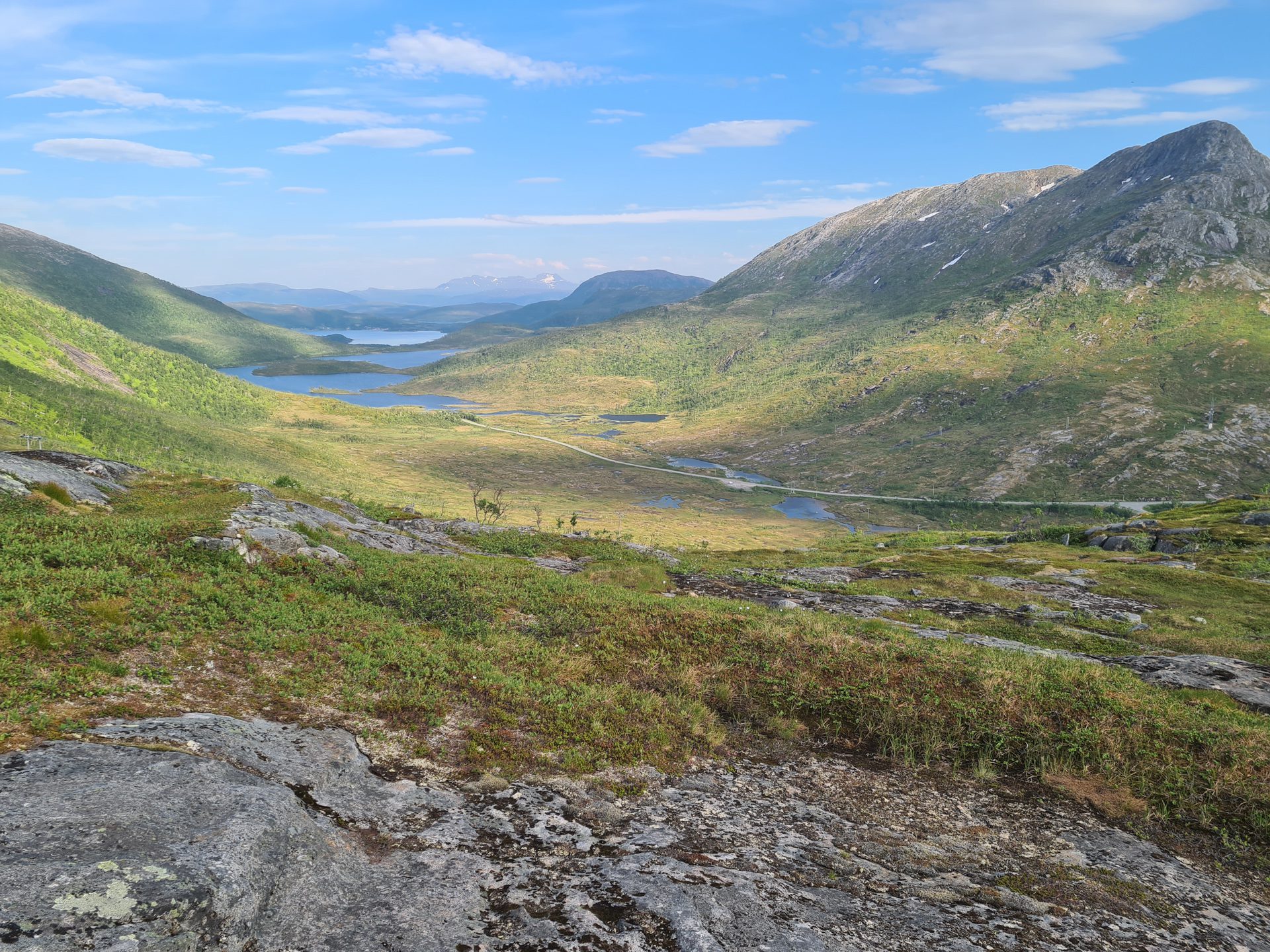
The Barden trail is clearly marked and does not present any major technical difficulties. However, note that the hike begins with a half-hour climb through a very marshy area, particularly infested with mosquitoes and other insects during the summer.
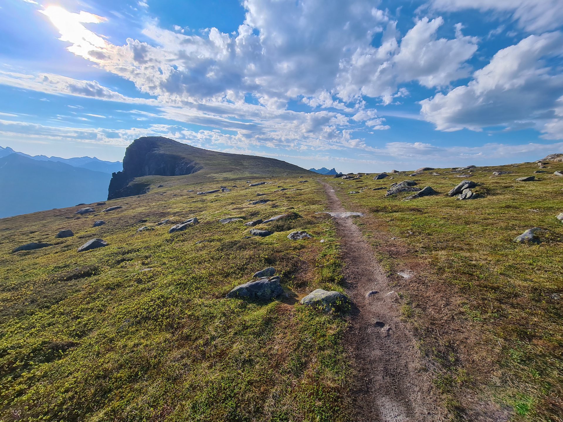
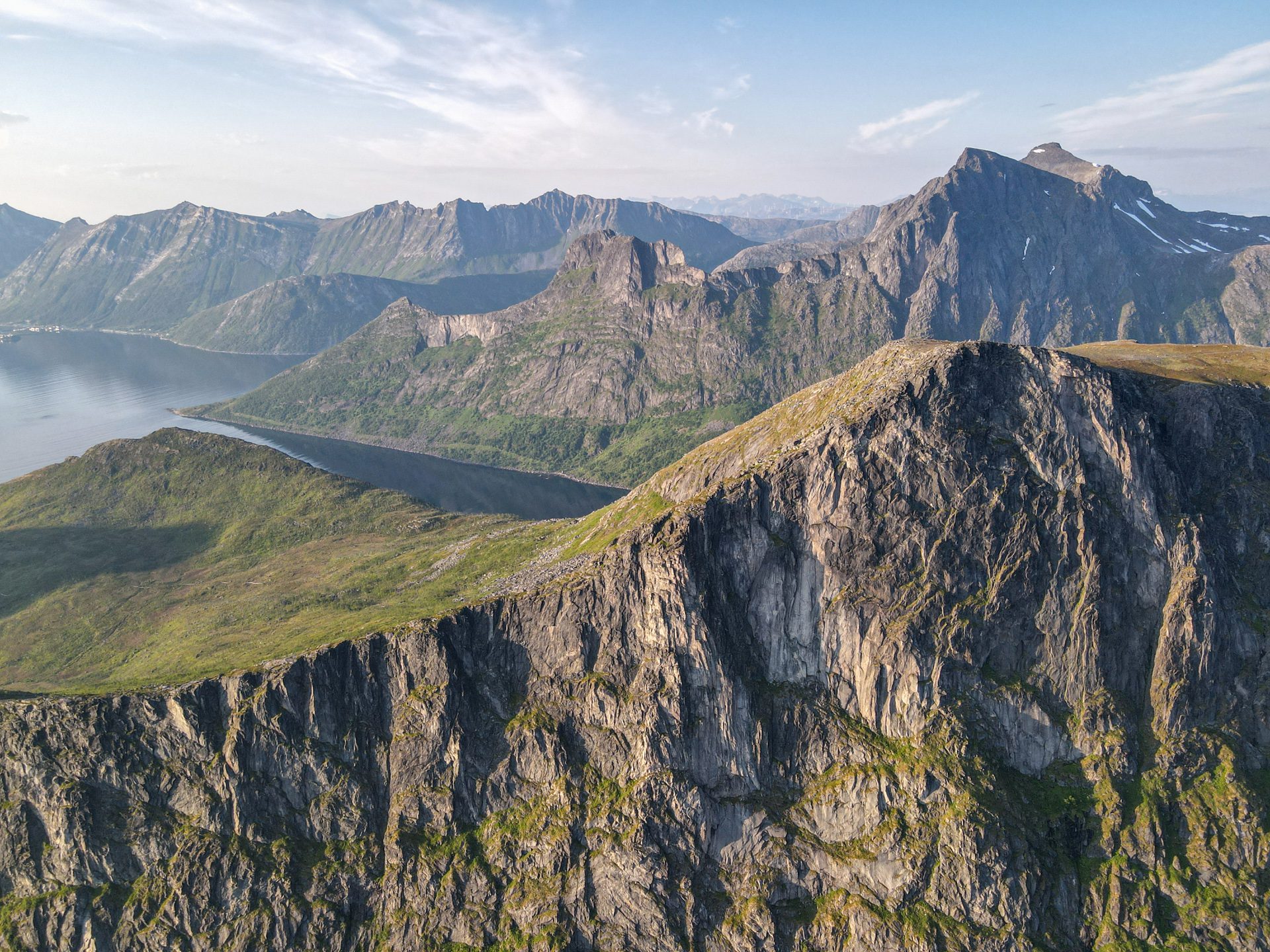
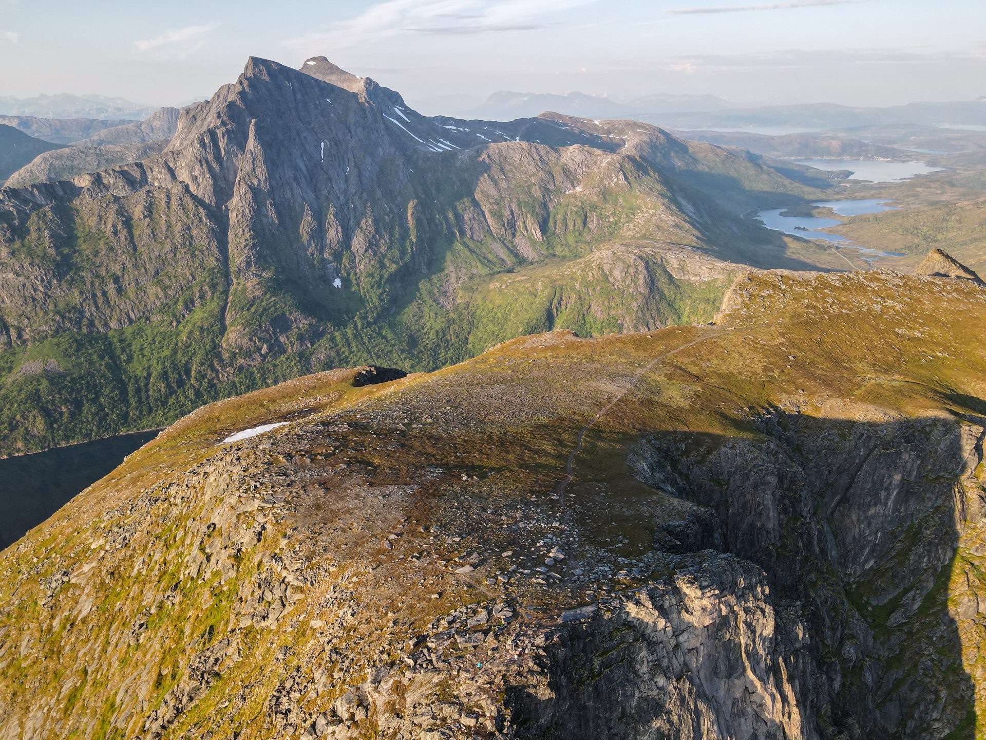
Once you reach the pass, the trail follows the ridge, which has steeper and rockier slopes. There are a few slightly exposed sections that require caution. After these rocky sections, the trail crosses a vast grassy plateau before reaching the summit.
What you'll love
- The exceptional 360° panorama from the summit, taking in the Mefjorden and Ornfjorden fjords as well as the most spectacular peaks of Senja.
- The tranquility of the trail, which is much less frequented than the other classic hikes in Senja.
- An ideal campsite on the vast grassy plateau before the summit, offering magnificent light during summer evenings.
Practical information
Access
The parking lot is located on the road to Fjordgård, just before the tunnel. It is the same starting point as the Keipen and Grytetippen hike. As parking spaces are limited, arrive early!
Best time to go
June to September on average. See the Norway FAQ for more details.
Extension
For those up for a challenge, you can extend the adventure to Segla and/or Fjordgård.
Photos
See all 24 photos →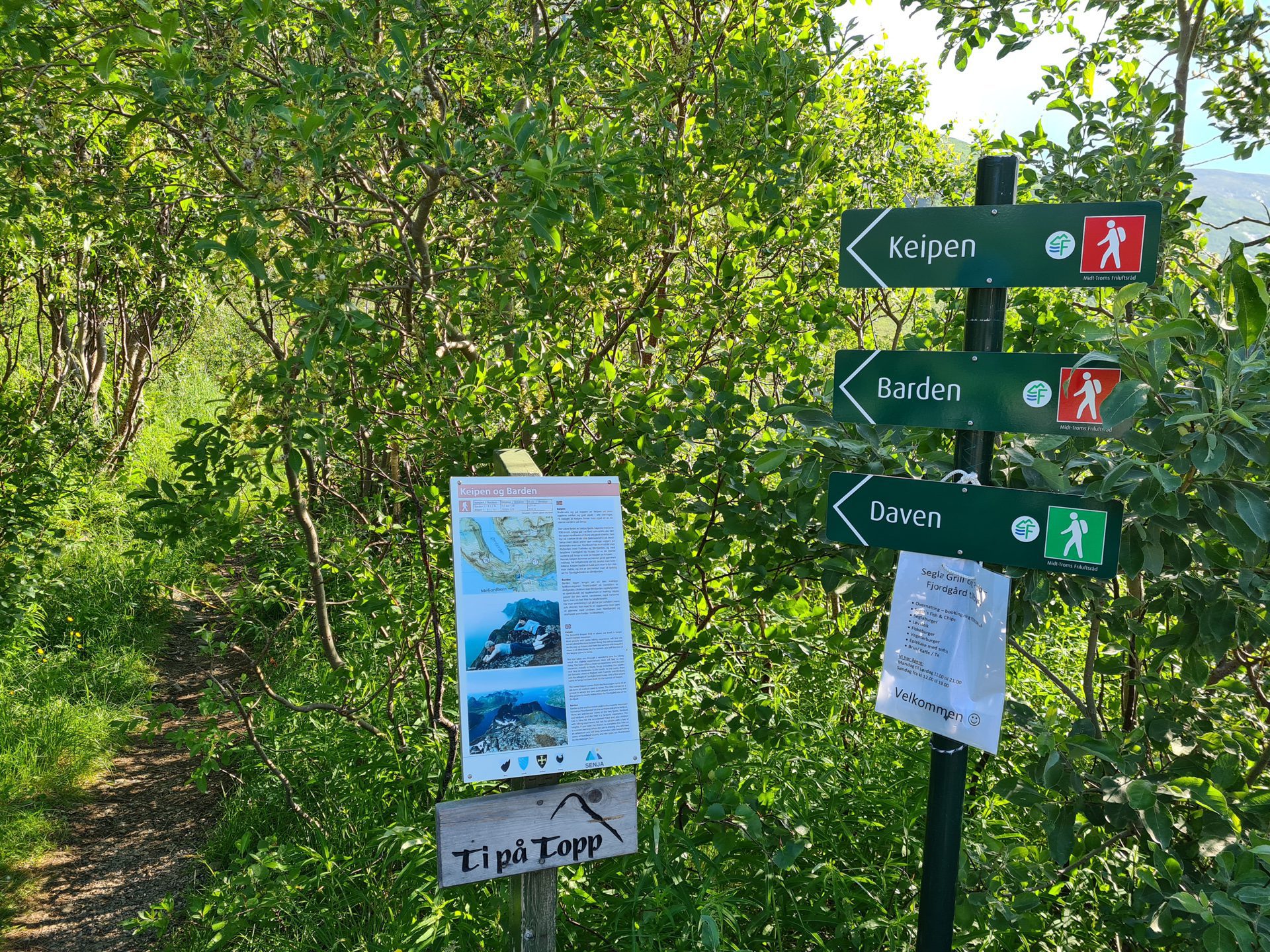
More hikes to do in Norway
Nearby hikes












Printed from www.horizonrando.fr/en/norway/barden/