





Måtinden Hike
Key facts about the hike
- Difficulty
- Moderate Hikes are rated from very easy to very hard: my difficulty scale
- Duration
- 3h Estimated time, short breaks included (photos, water, snacks), picnic not included: how it is calculated
- Distance
- 8km
- out and back
- Elevation gain
- 520m
- Type of route
- Out and back
- Maximum altitude
- 408 m
- Vertiginous Five levels, depending on how exposed the route is: the levels in detail
- No
- Marked
- No
- Popularity
- Moderate / High
- Island
- Andøya, Vesterålen
- Start point
- 69.23545, 15.94740
- Activity
- Hiking
Hike overview
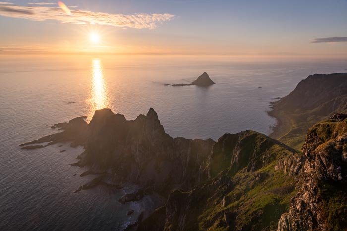
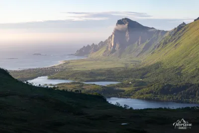
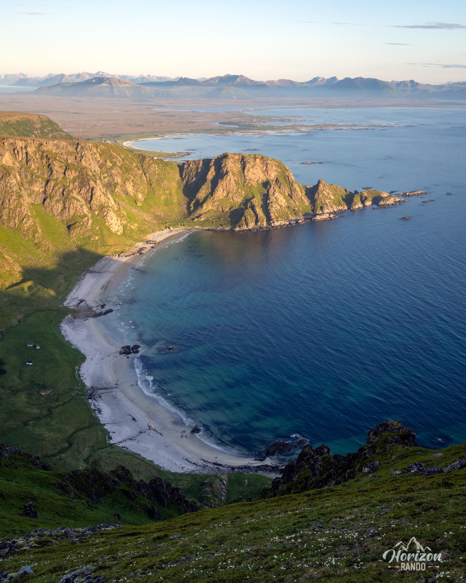
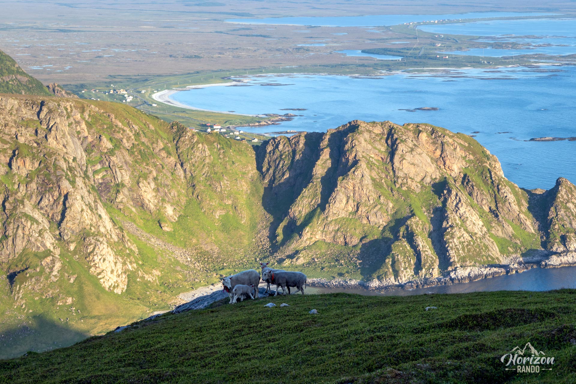
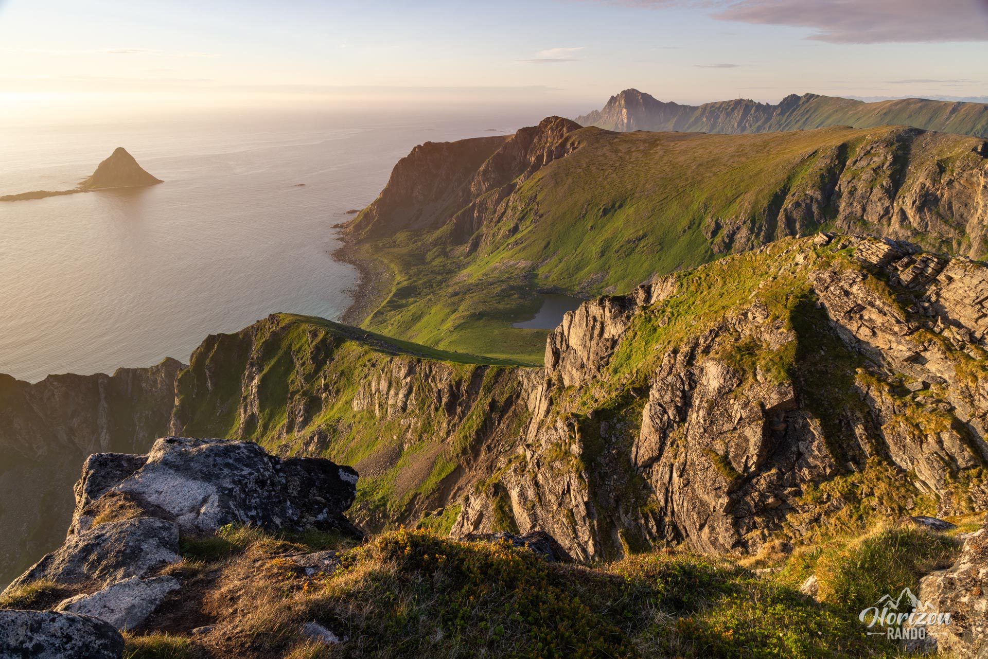
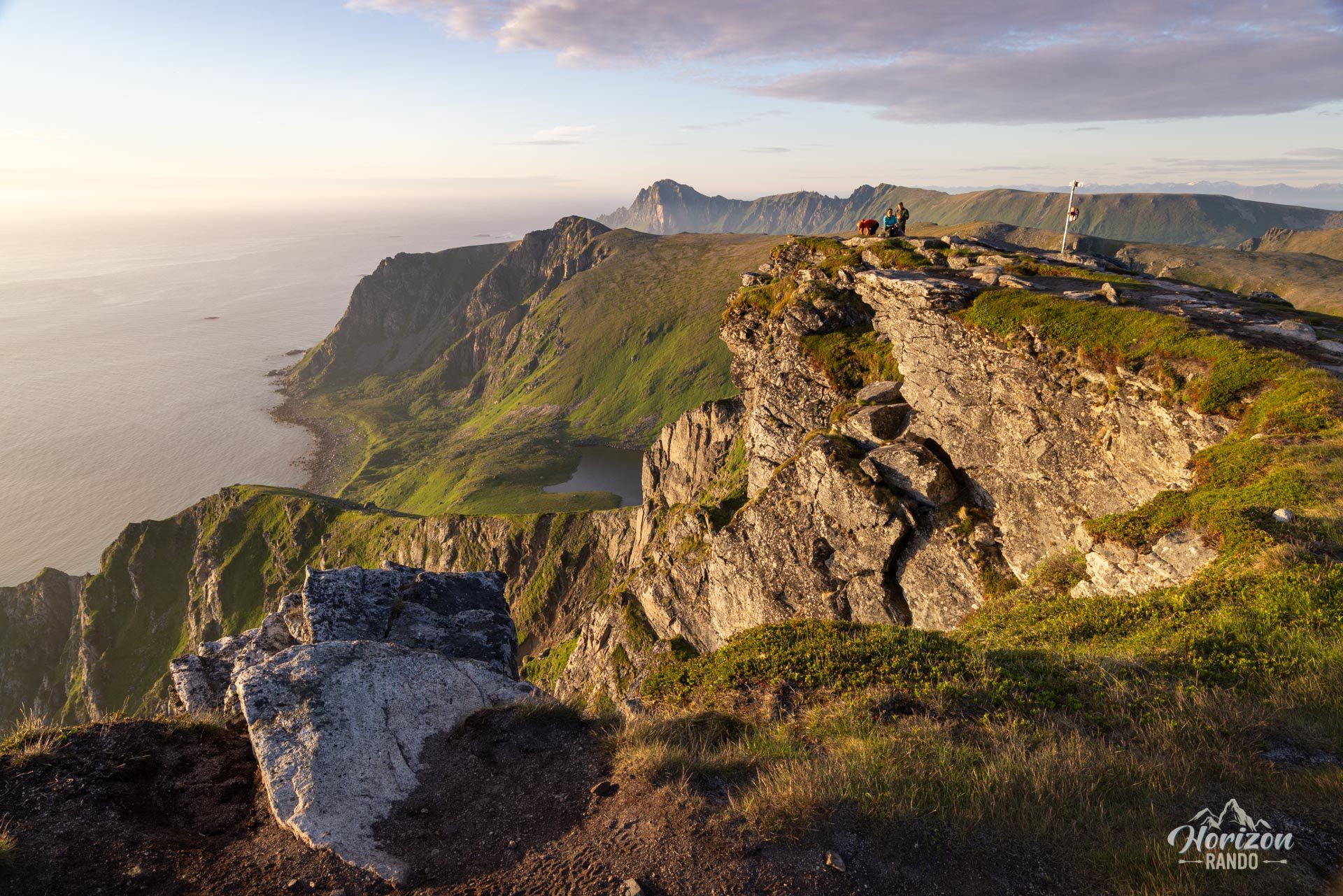
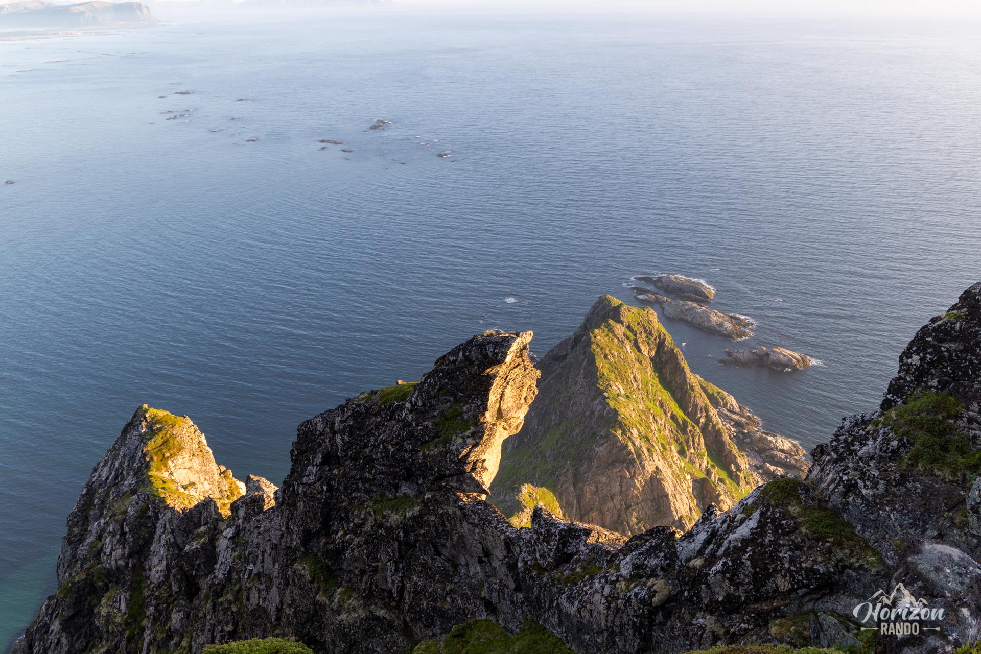
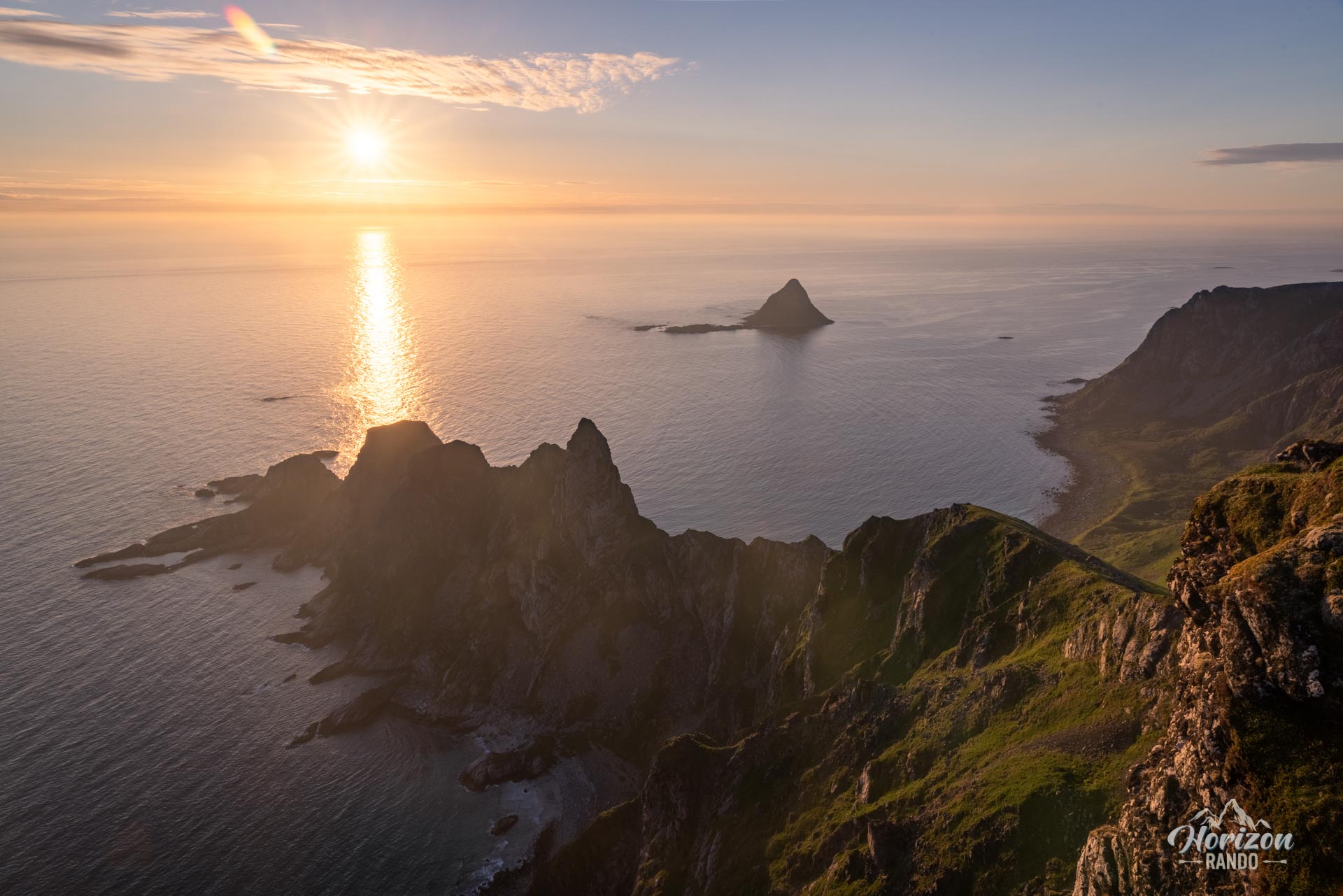
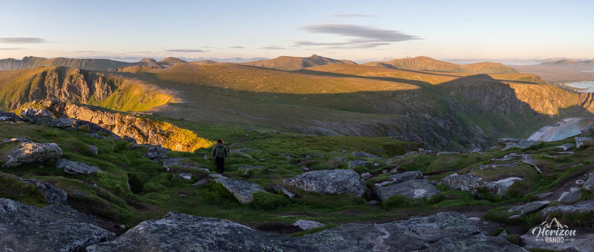
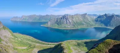
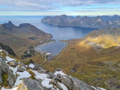
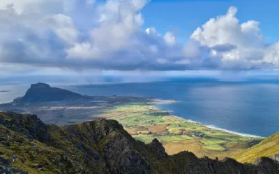
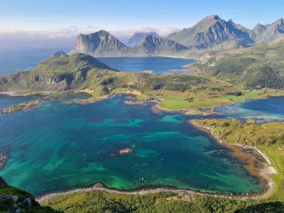
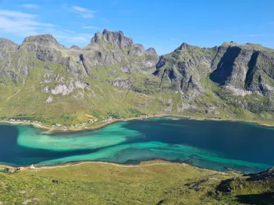
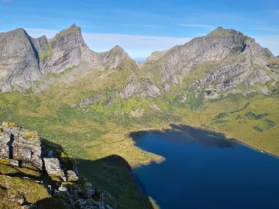
Måtinden rises to 408 metres above the west coast of Andøya, halfway between the villages of Stave and Bleik, at the northern end of the Vesterålen islands. The altitude is modest, the panorama is not: the summit overlooks a coastline of skerries and rocky spurs, two pale sandy beaches and the pyramid-shaped island of Bleiksøya.
With no technical difficulty and no exposed section, the hike is perfectly suited to families, and leads to one of the finest sea viewpoints in Northern Norway. One reservation: the place is popular and draws a crowd in high season, though nothing comparable to the great classics of the Lofoten.
Map and elevation profile of the hike
Måtinden Hike
Description and difficulties of the hike
The hike starts from the Bauktuva car park on the Fv 976, halfway between Stave and Bleik — a road that is part of the Andøya National Scenic Route. Signs mark the start of the trail.
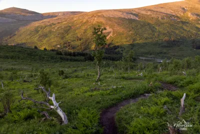
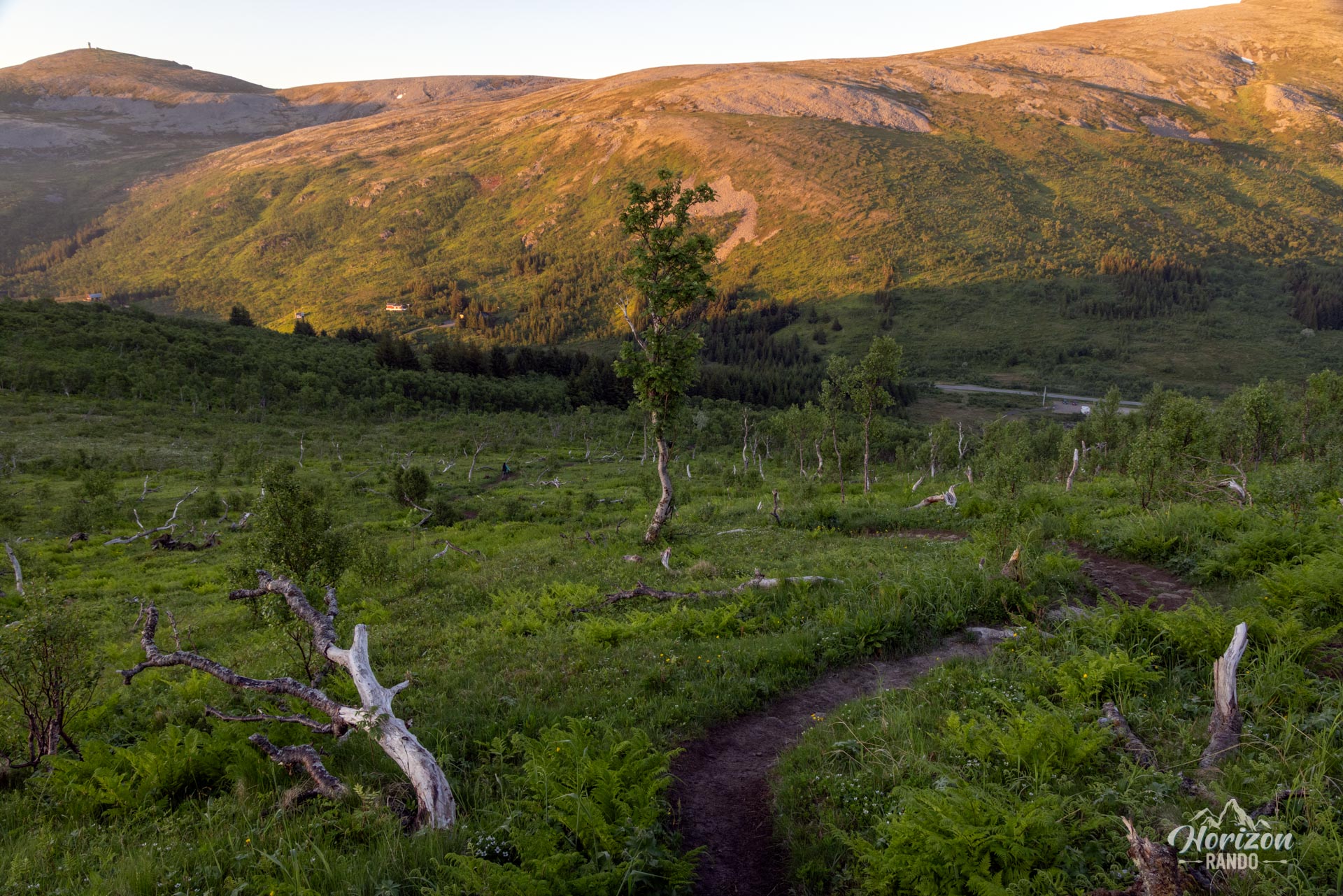
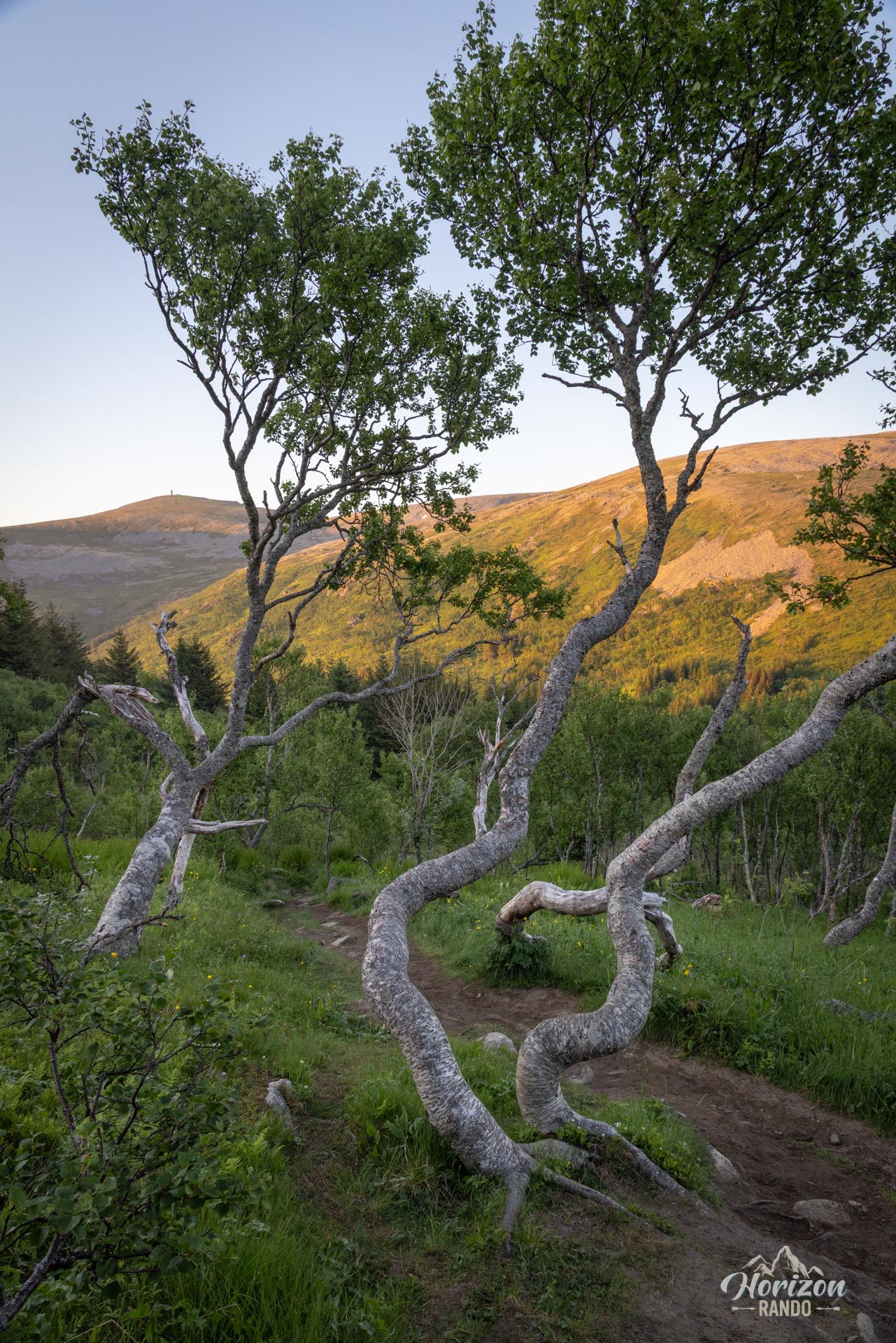
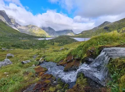
The first few hundred metres cross a grove of stunted birches, then a boggy stretch that is often waterlogged: waterproof boots are recommended. Then comes the only demanding section of the day, a sustained, rocky climb — the steepest part of the route, which ends after 300 metres of ascent.
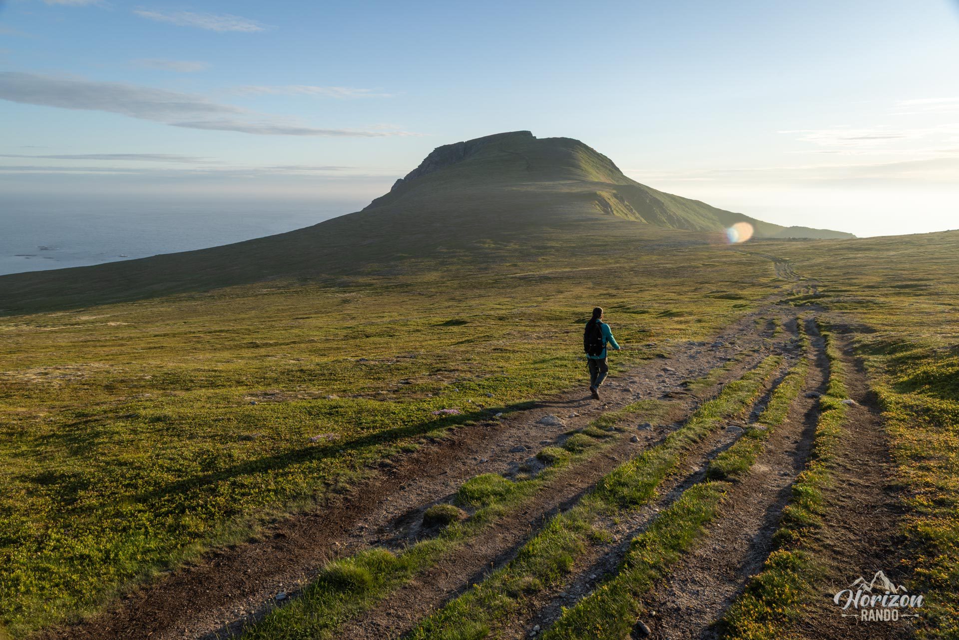
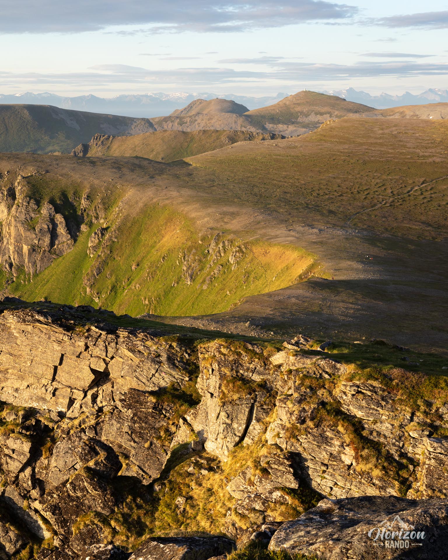
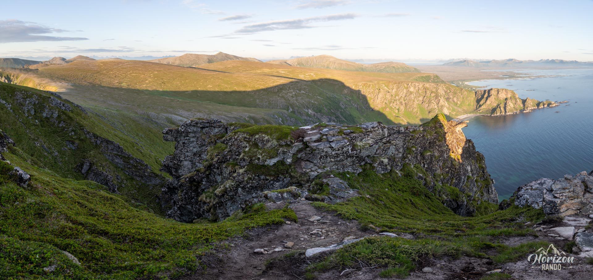
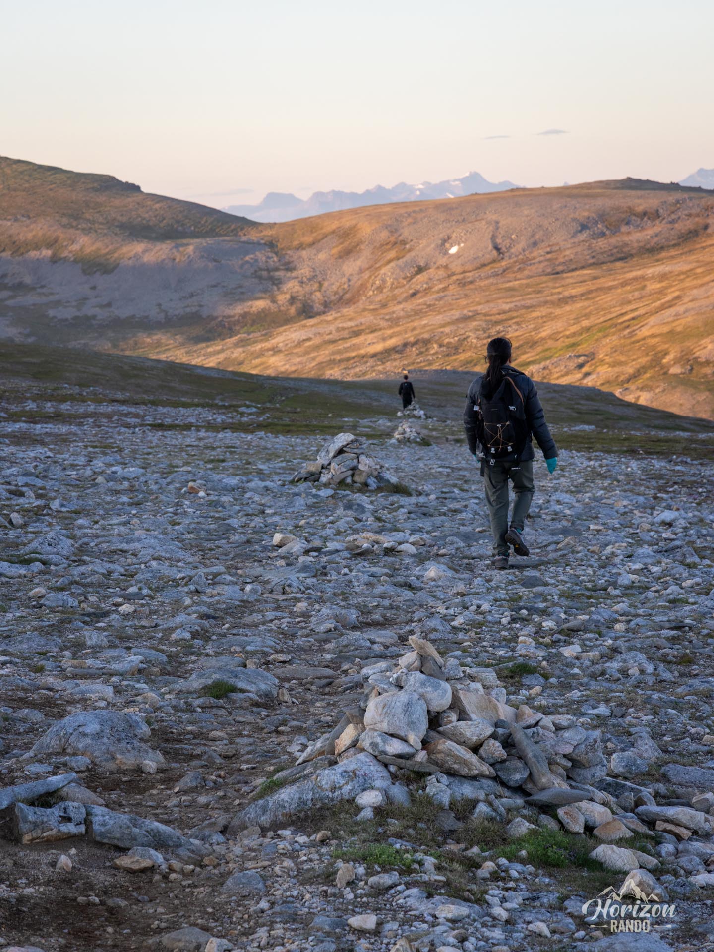
Above it, everything changes. You come out onto a rolling plateau carpeted with low heath, followed westwards over a succession of short ups and downs, with almost constant distant views of Bleik and the coastline. The path fades in places on the rocky sections, but cairns are plentiful and are quite enough in clear weather; in poor visibility, on the other hand, a GPS track is no luxury. A sign marks the junction towards Stave and Bleik: keep straight on for the summit, reached after one last short rise.
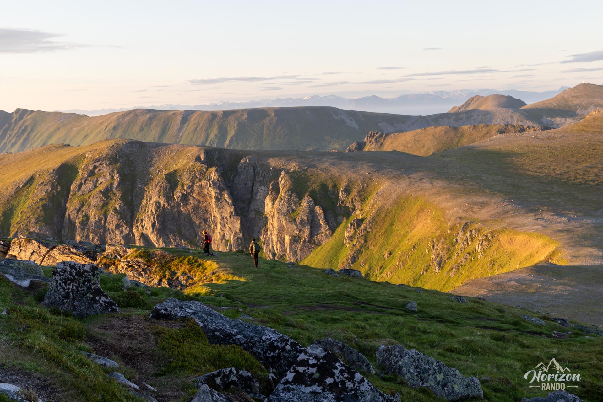
The summit plateau is broad and offers several viewpoints. Best not to go near the edge, which drops sheer to the sea.
What you'll love
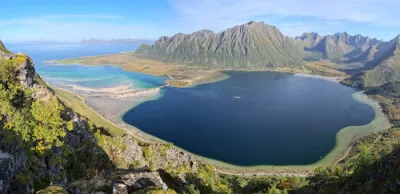
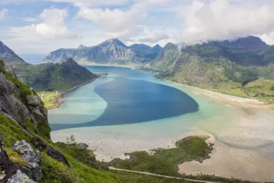
- The summit panorama: a jagged coastline, skerries, small valleys and wide sea horizons, as far as the north of Andøya.
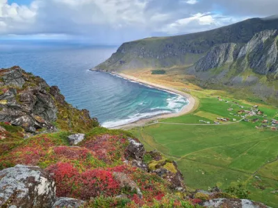
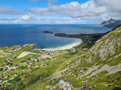
- The plunging view over Høyvika: a pale sandy beach hemmed in by cliffs.
- Bleiksøya: a rocky pyramid classified as a nature reserve, home to several tens of thousands of nesting puffins, guillemots and cormorants, and regularly overflown by white-tailed eagles.
Practical information
Parking
Large free car park at Bauktuva, on the Fv976, about 5 km south of Bleik.
Best time to go
Mid-May to mid-October on average, for a snow-free trail. Midnight sun at Andenes from 22 May to 21 July. See the Norway FAQ for more details.
Variant
Måtinden is the high point of the Stave–Bleik coastal path (about 9 km from one village to the other). The summit can therefore be reached from either village. These routes are wilder, but also longer and slightly more technical.
Photos
See all 15 photos →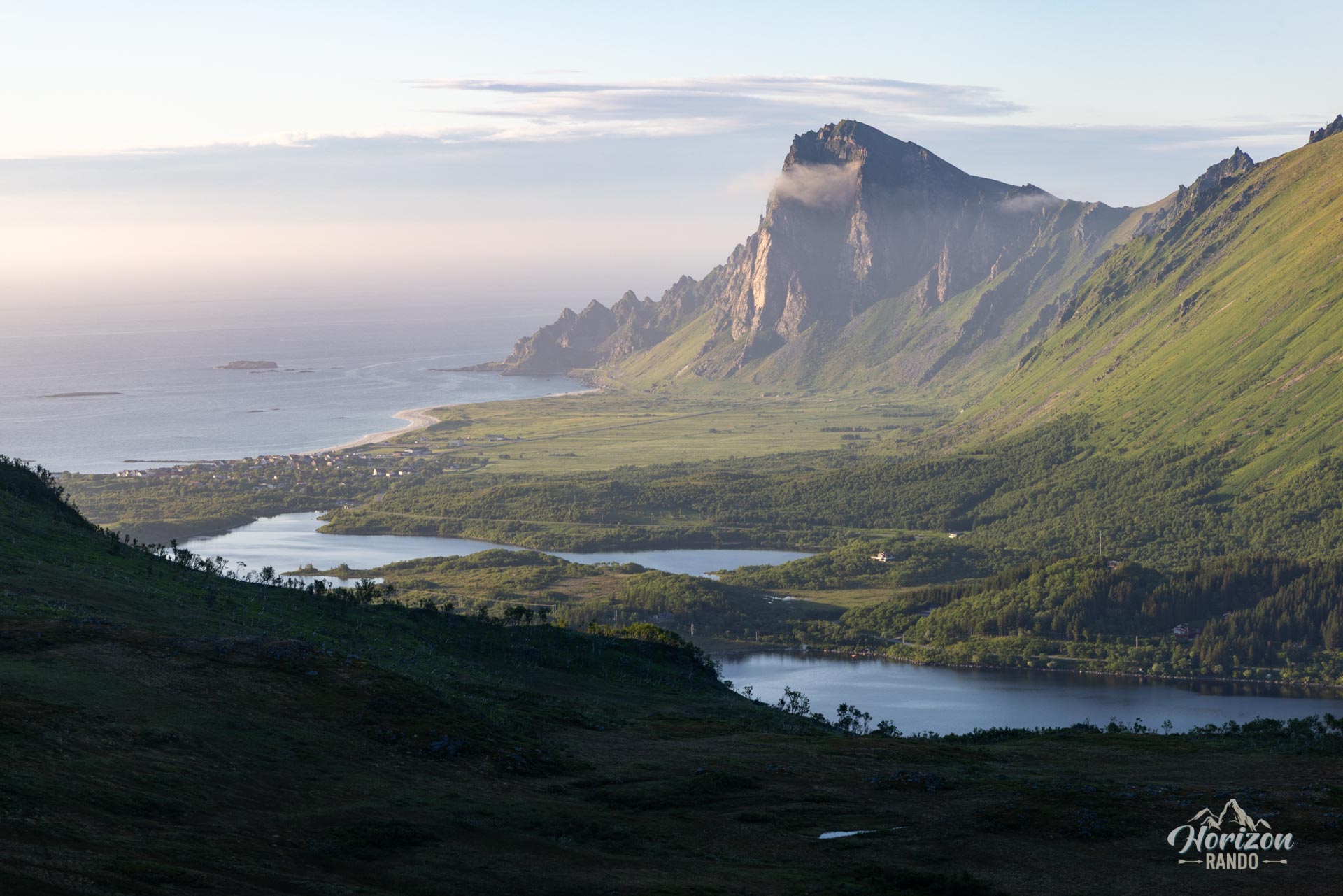
More hikes to do in Norway
Nearby hikes















Printed from www.horizonrando.fr/en/norway/matinden/