





Hesten Hike
Key facts about the hike
- Difficulty
- Moderate Hikes are rated from very easy to very hard: my difficulty scale
- Duration
- 3h15 Estimated time, short breaks included (photos, water, snacks), picnic not included: how it is calculated
- Distance
- 4km
- out and back
- Elevation gain
- 490m
- Type of route
- Out and back
- Maximum altitude
- 558 m
- Vertiginous Five levels, depending on how exposed the route is: the levels in detail
- Moderately
- Marked
- Yes
- Popularity
- Moderate
- Island
- Senja
- Start point
- 69.50849, 17.62316
- Activity
- Hiking
Hike overview
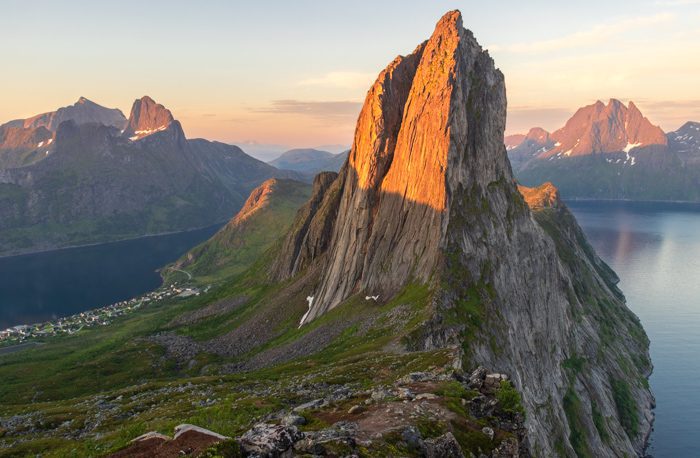
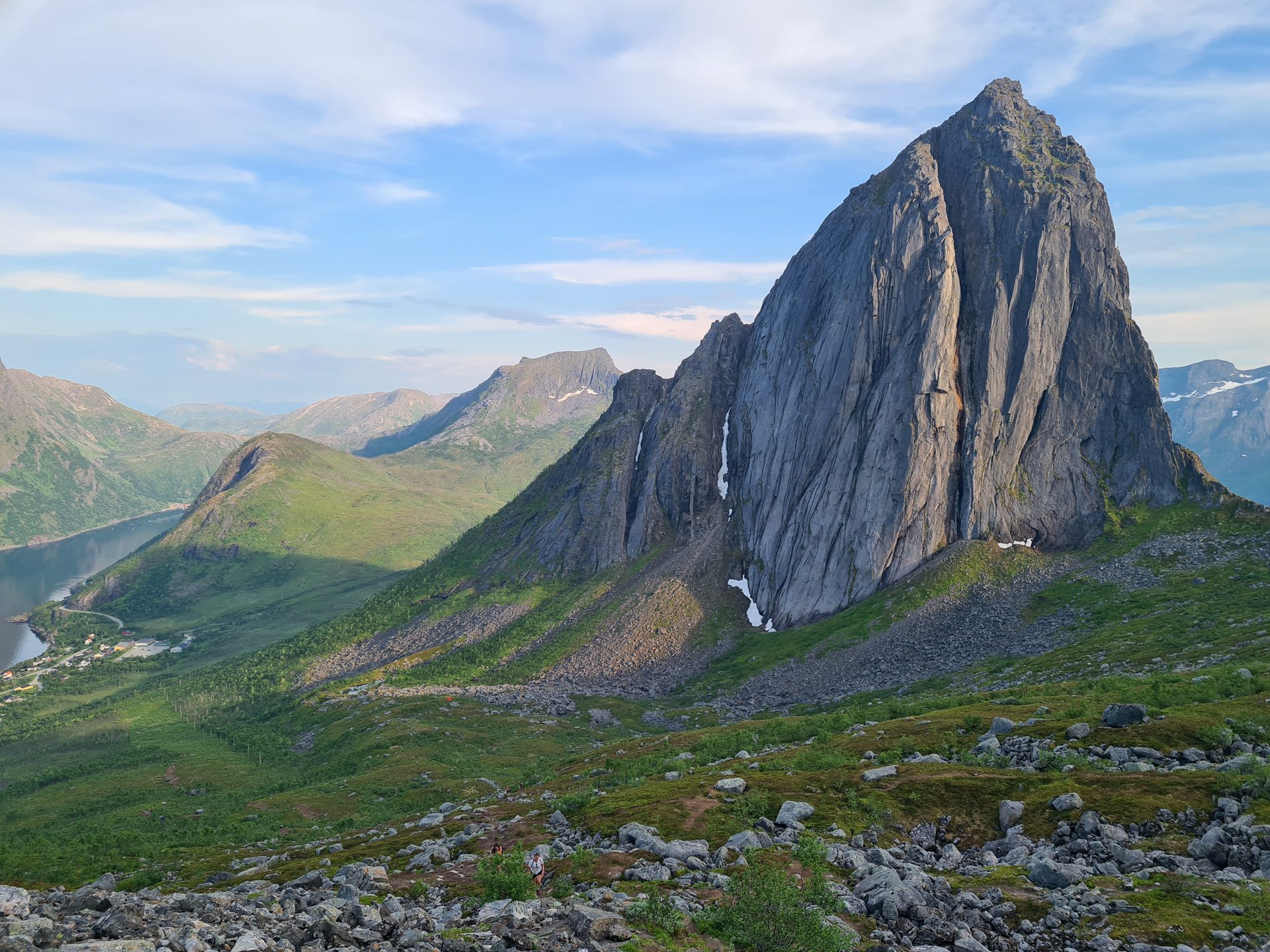
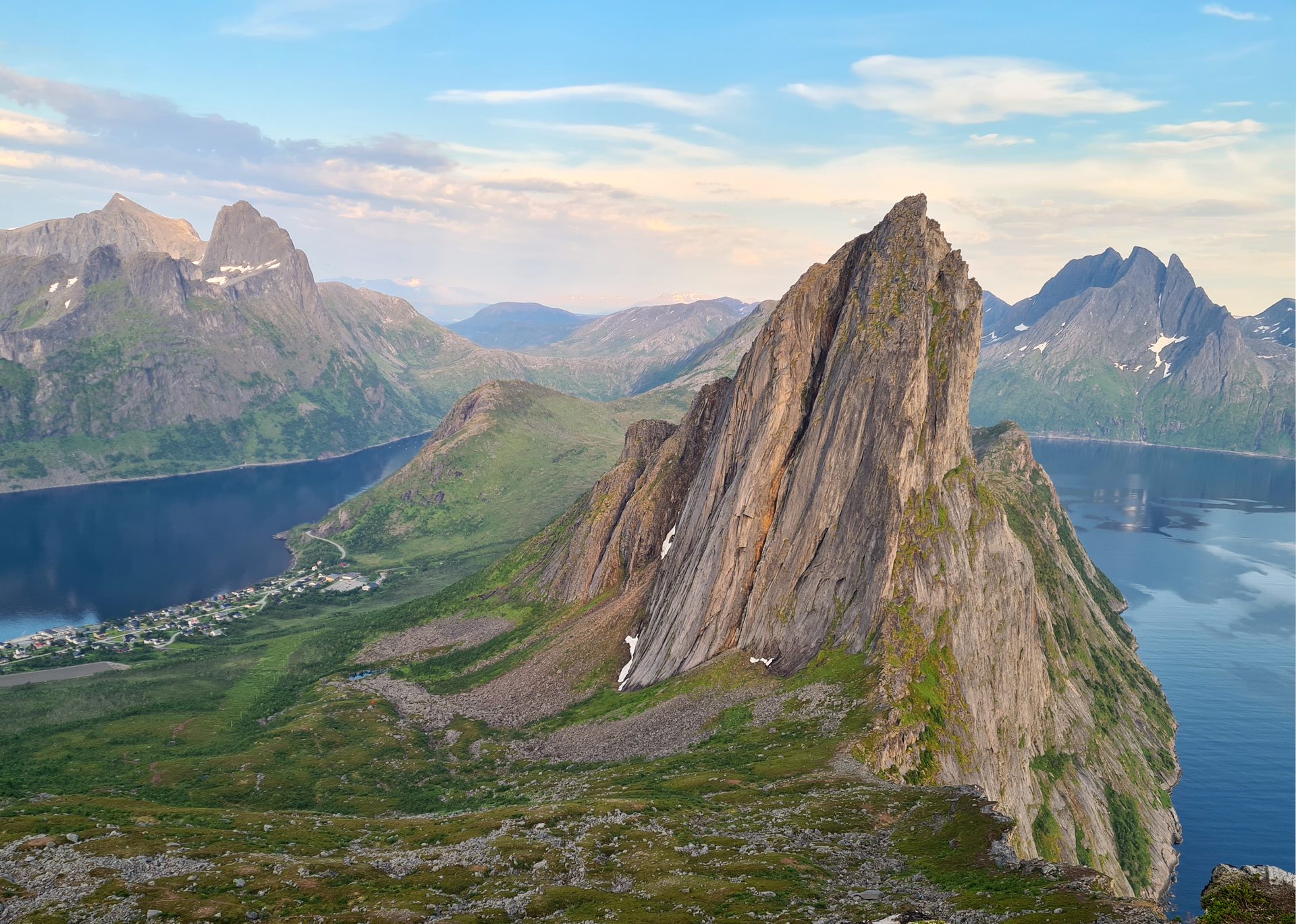
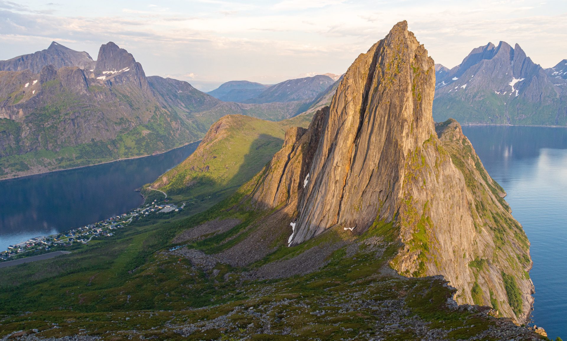
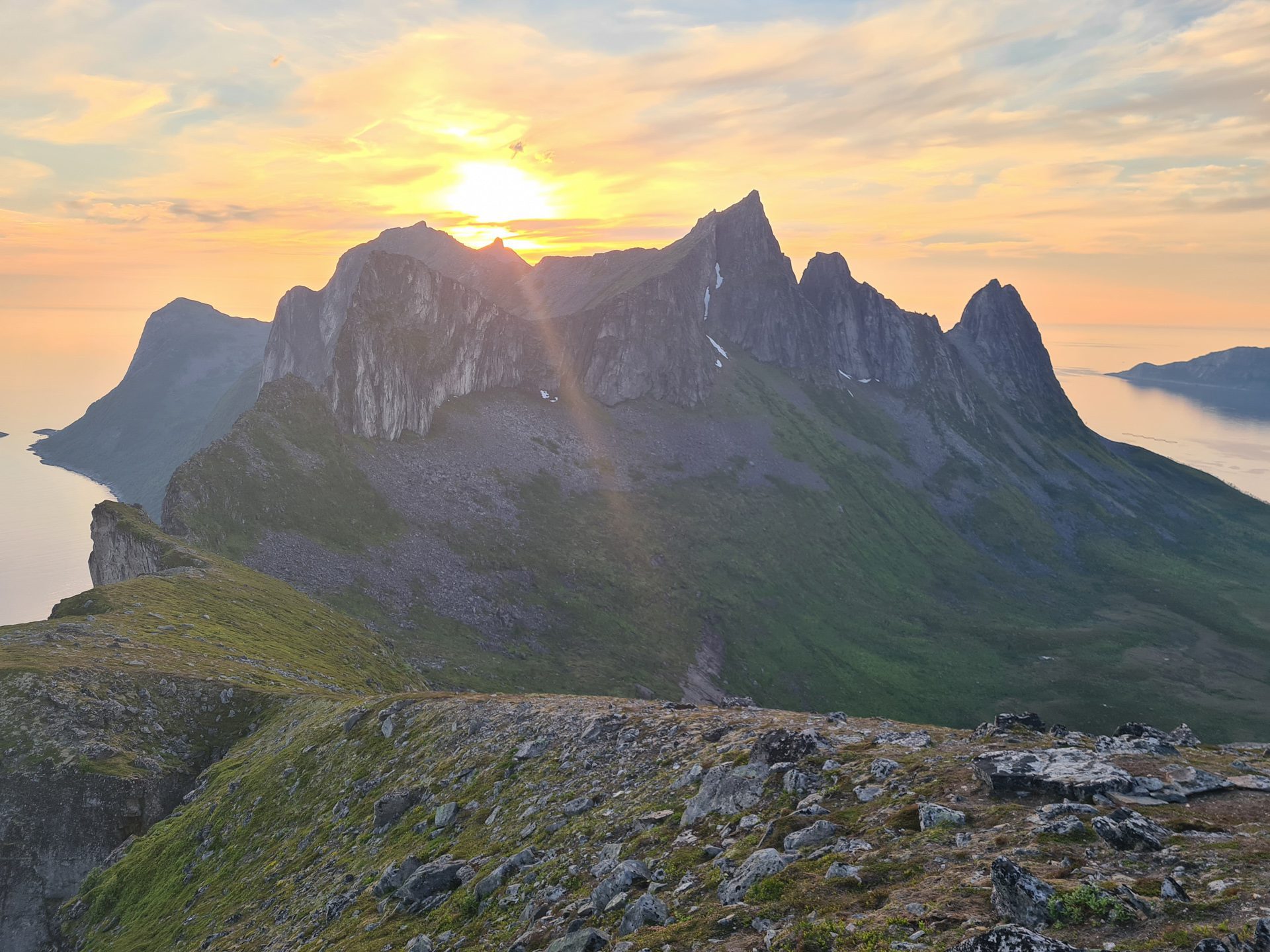
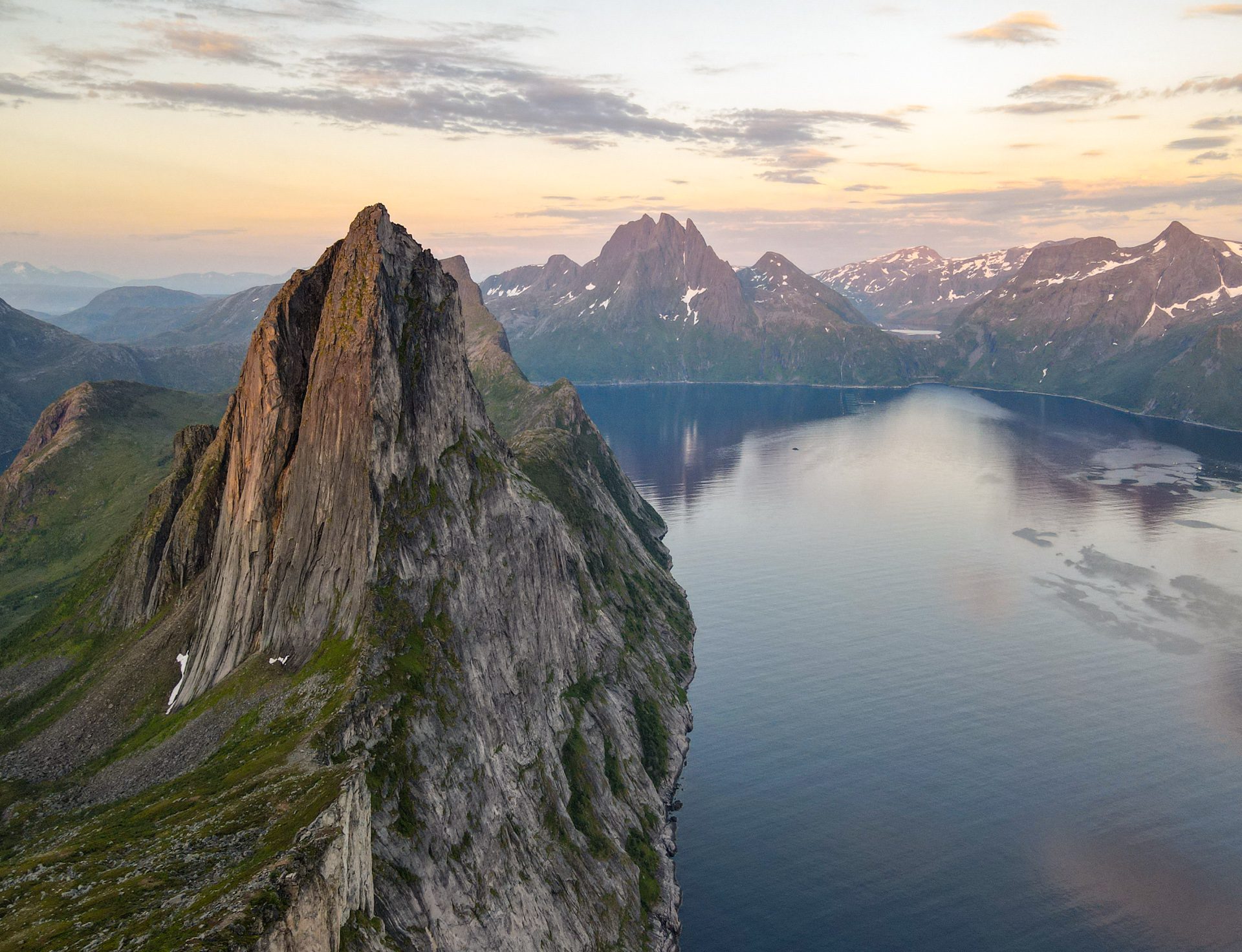
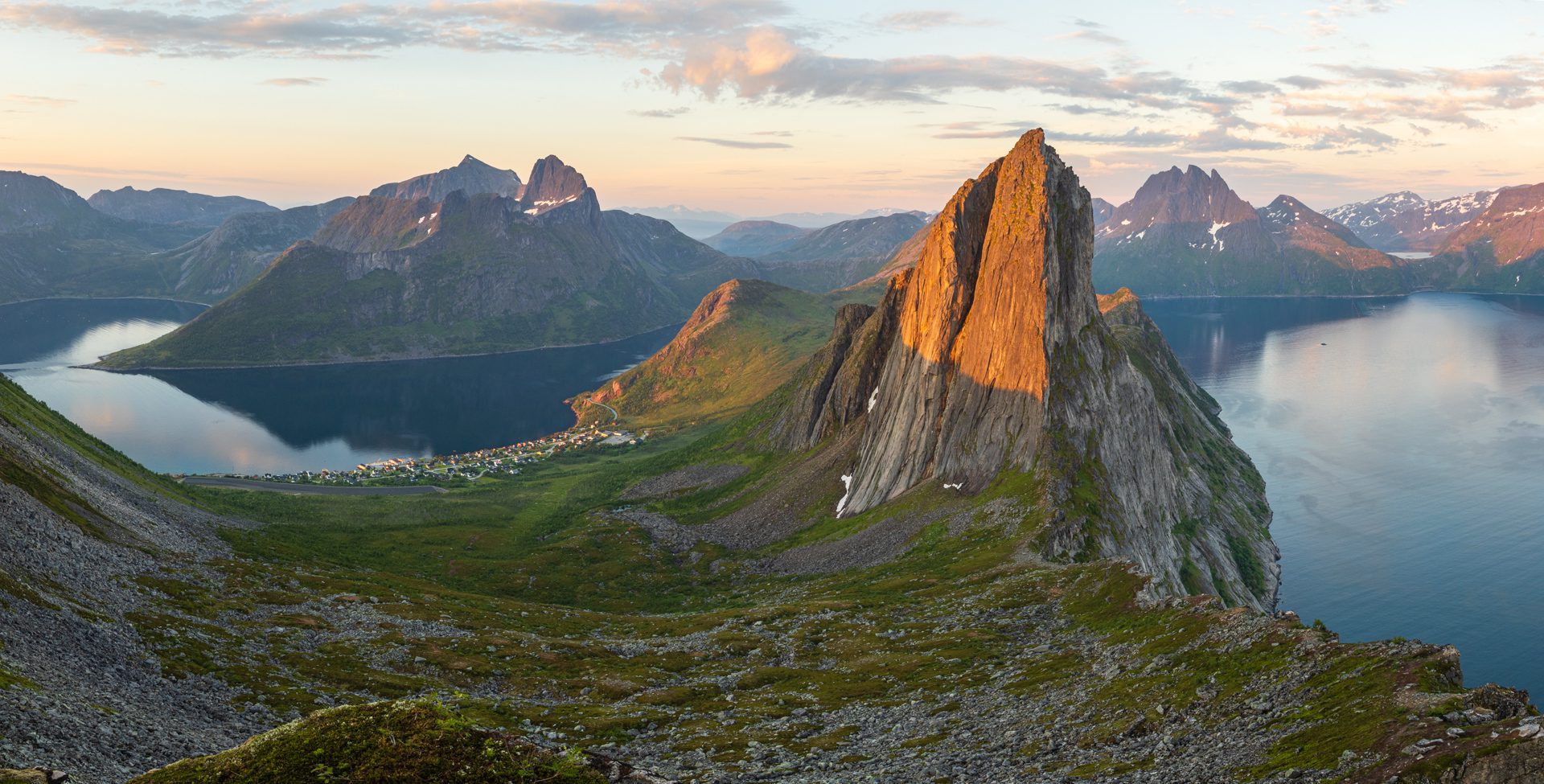
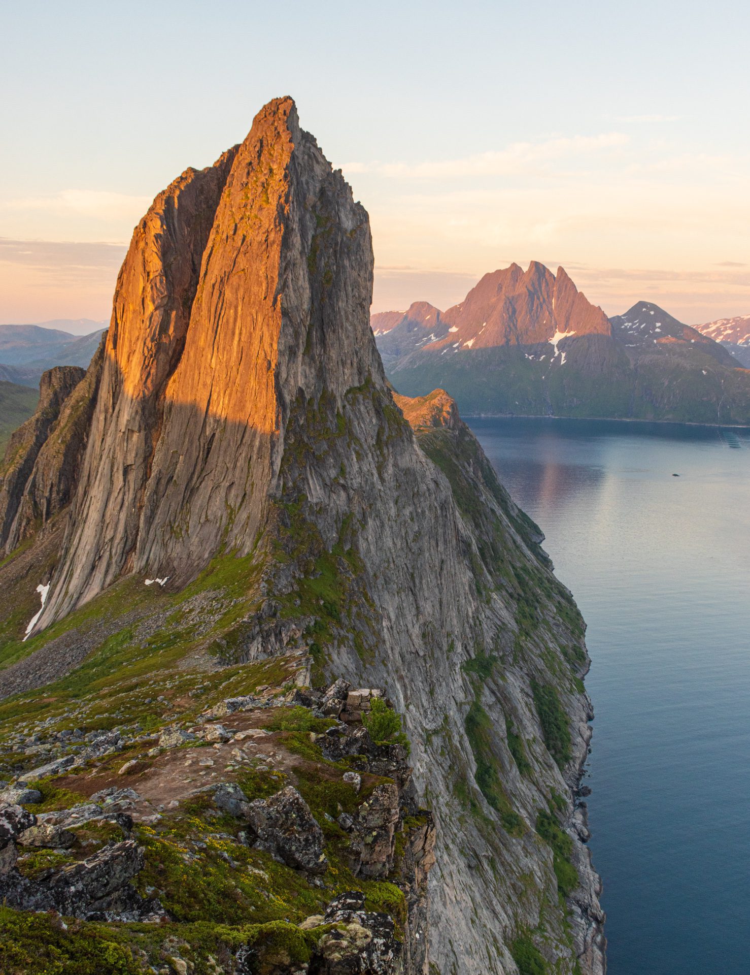
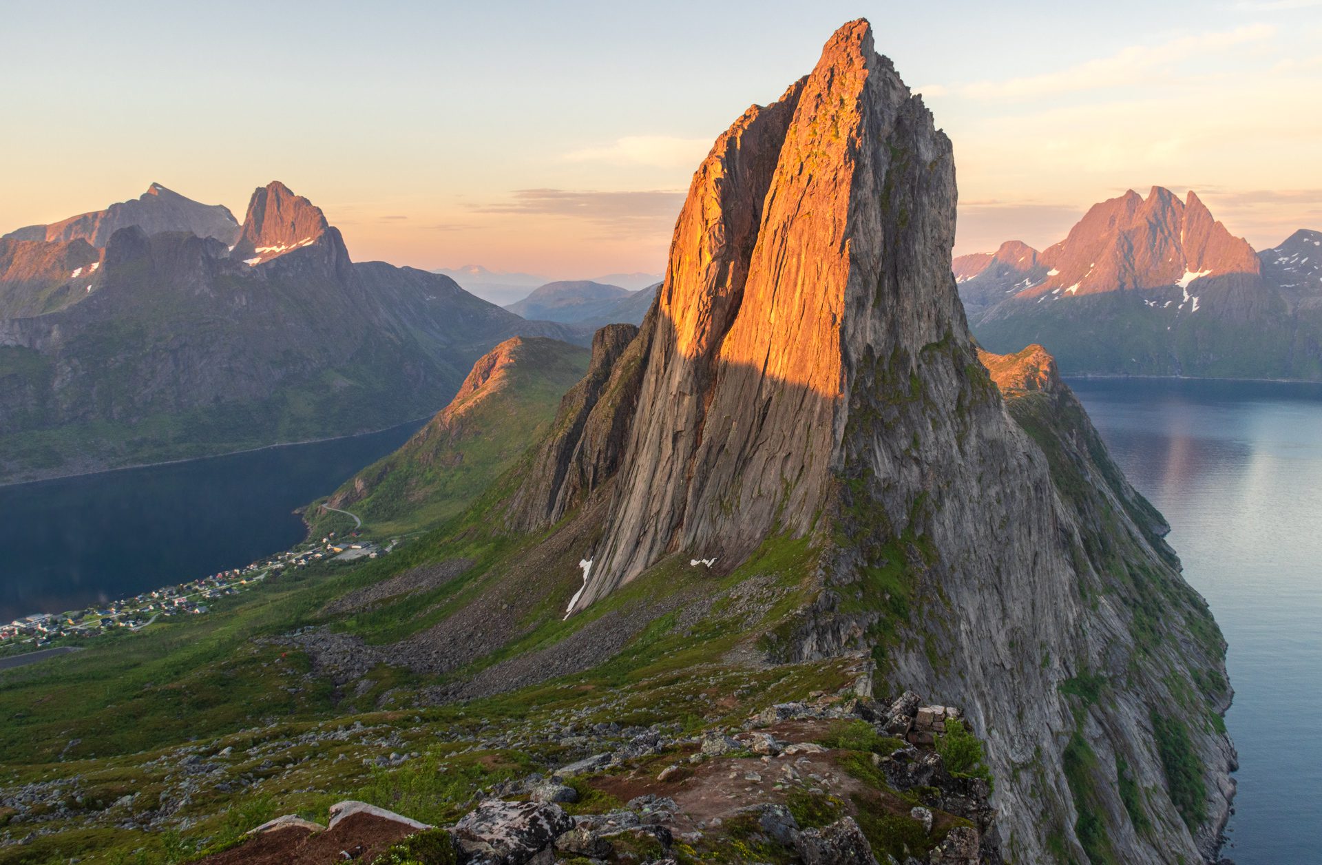
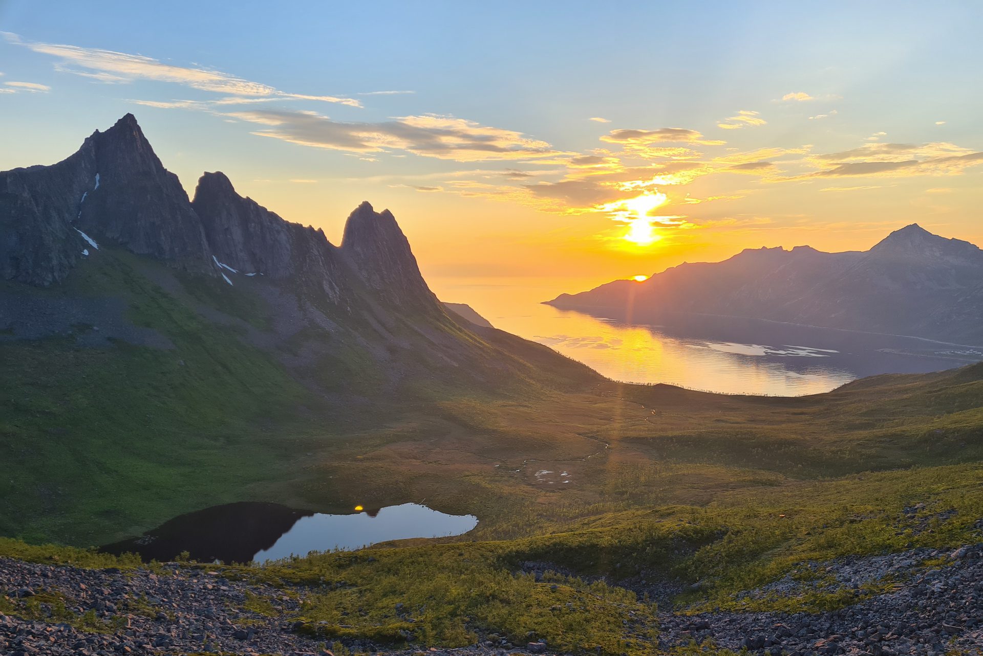
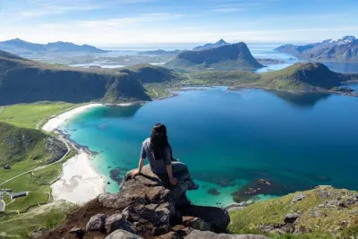
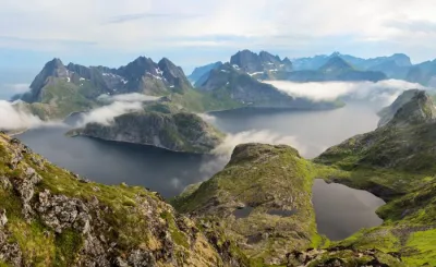
The summit of Hesten is one of the most popular destinations on the island of Senja, in Norway, offering magnificent views of the impressive north face of the neighboring peak, Segla. Most photos of Segla shared on social media are taken from or near the Hesten summit.
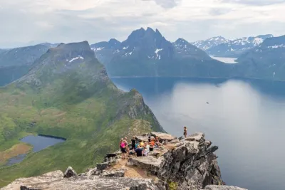
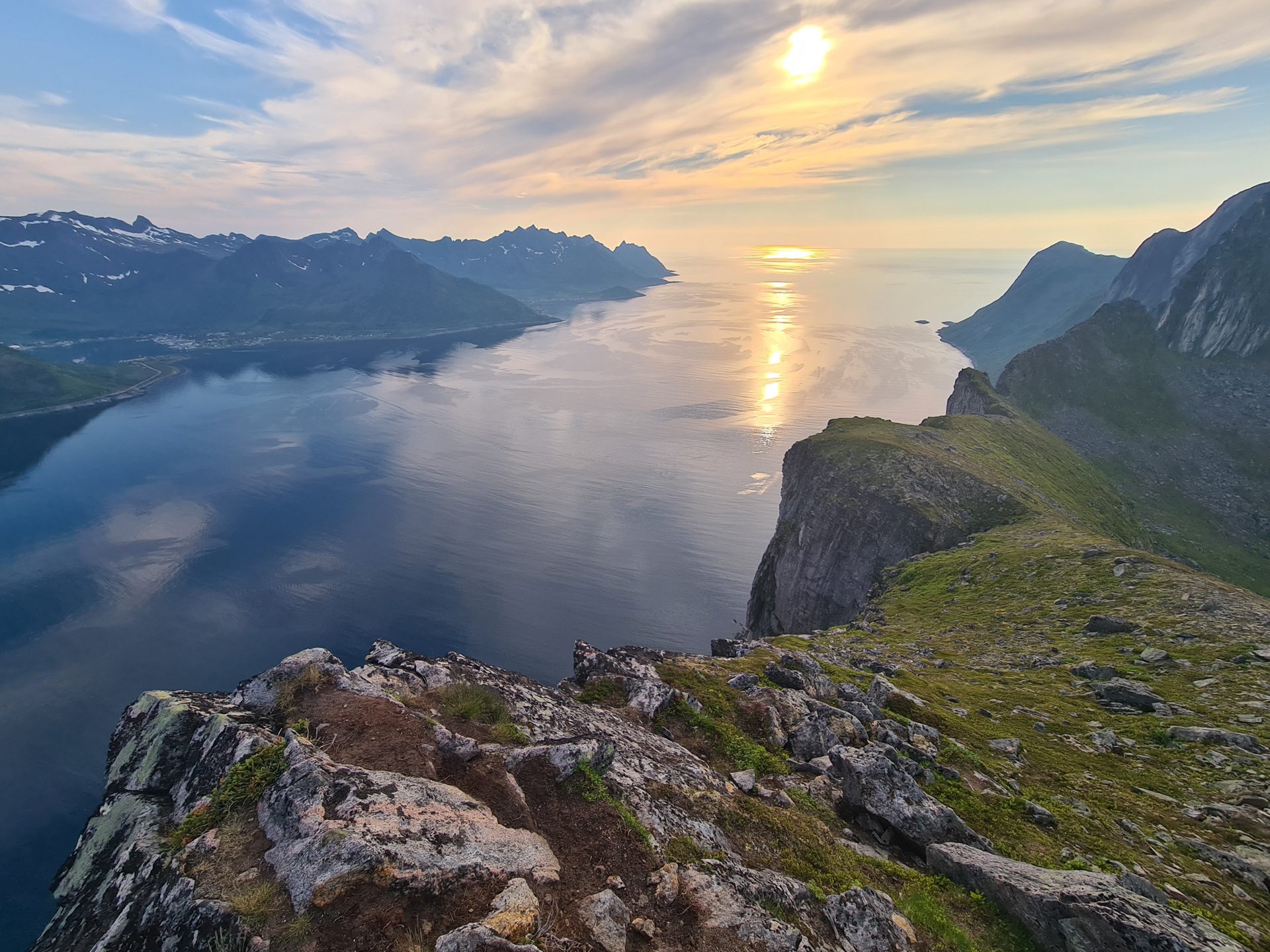
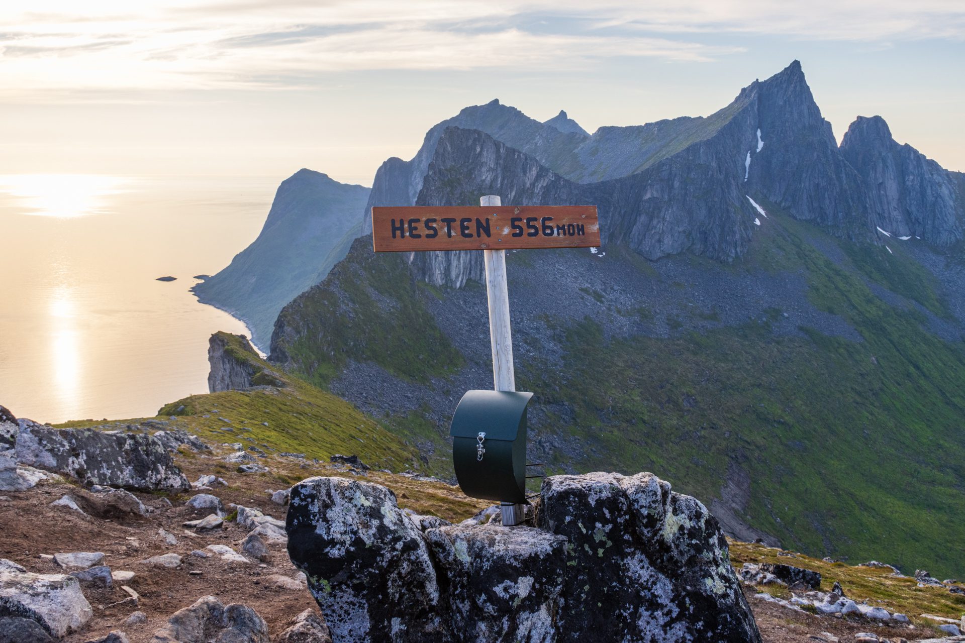
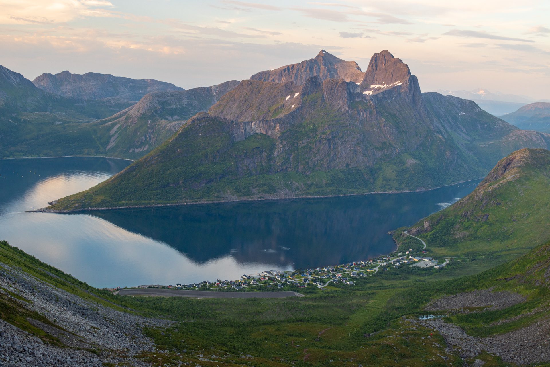
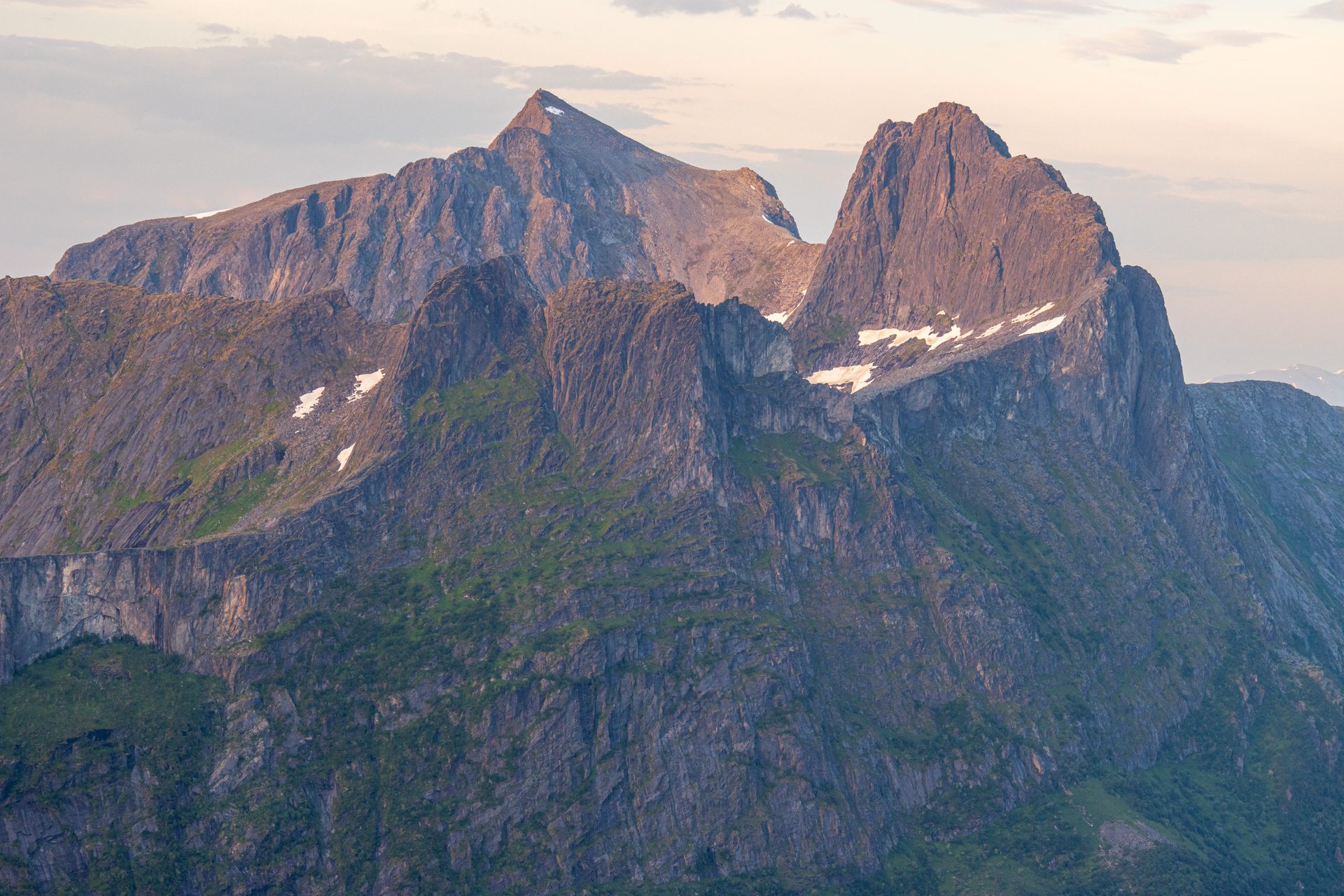
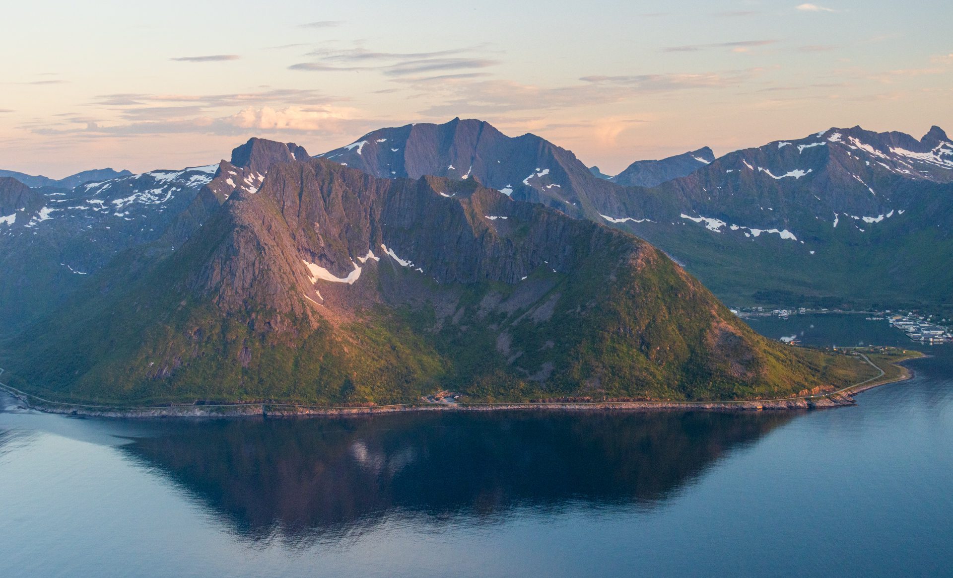
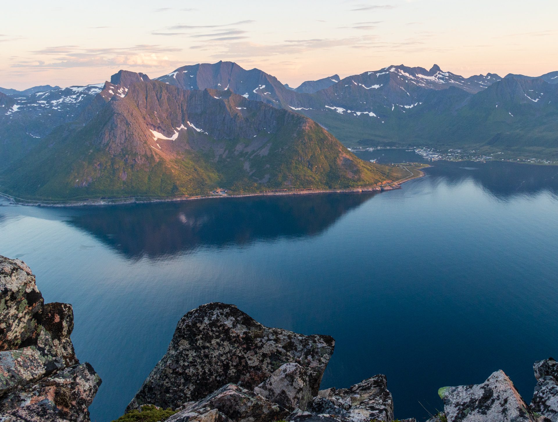
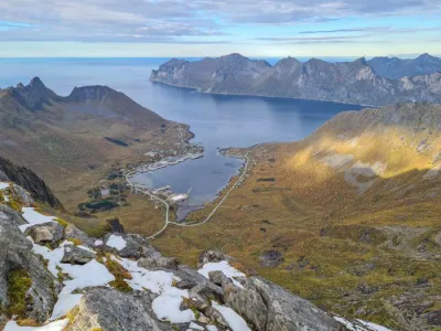
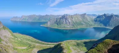
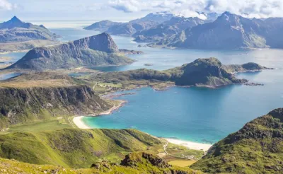
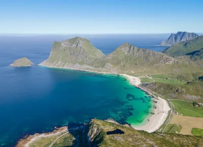
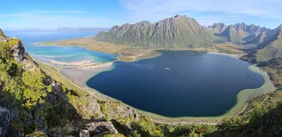
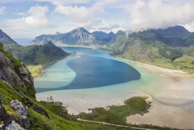
This short but intense hike rewards you with spectacular views on both sides: Segla, of course, as well as the Mefjorden and Oyfjorden fjords and the Kongen mountain range to the north.
Map and elevation profile of the hike
Hesten Hike
Difficulties of the hike
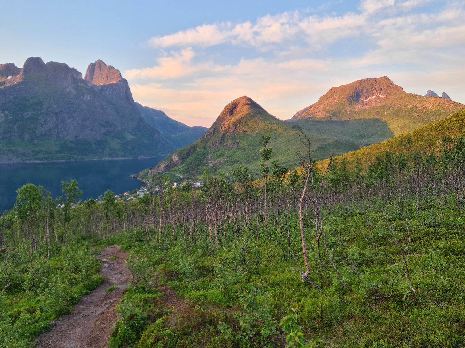
The ascent of Hesten is a steady climb of about 2 kilometers with an elevation gain of 500 meters, making it physically demanding despite the relatively short distance. Fortunately, the well-marked and popular trail eliminates any risk of getting lost.
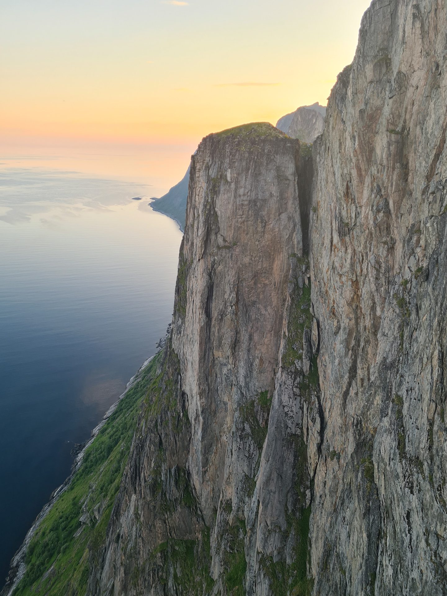
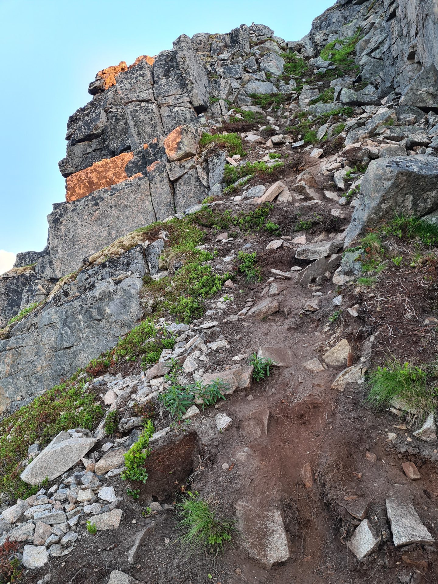
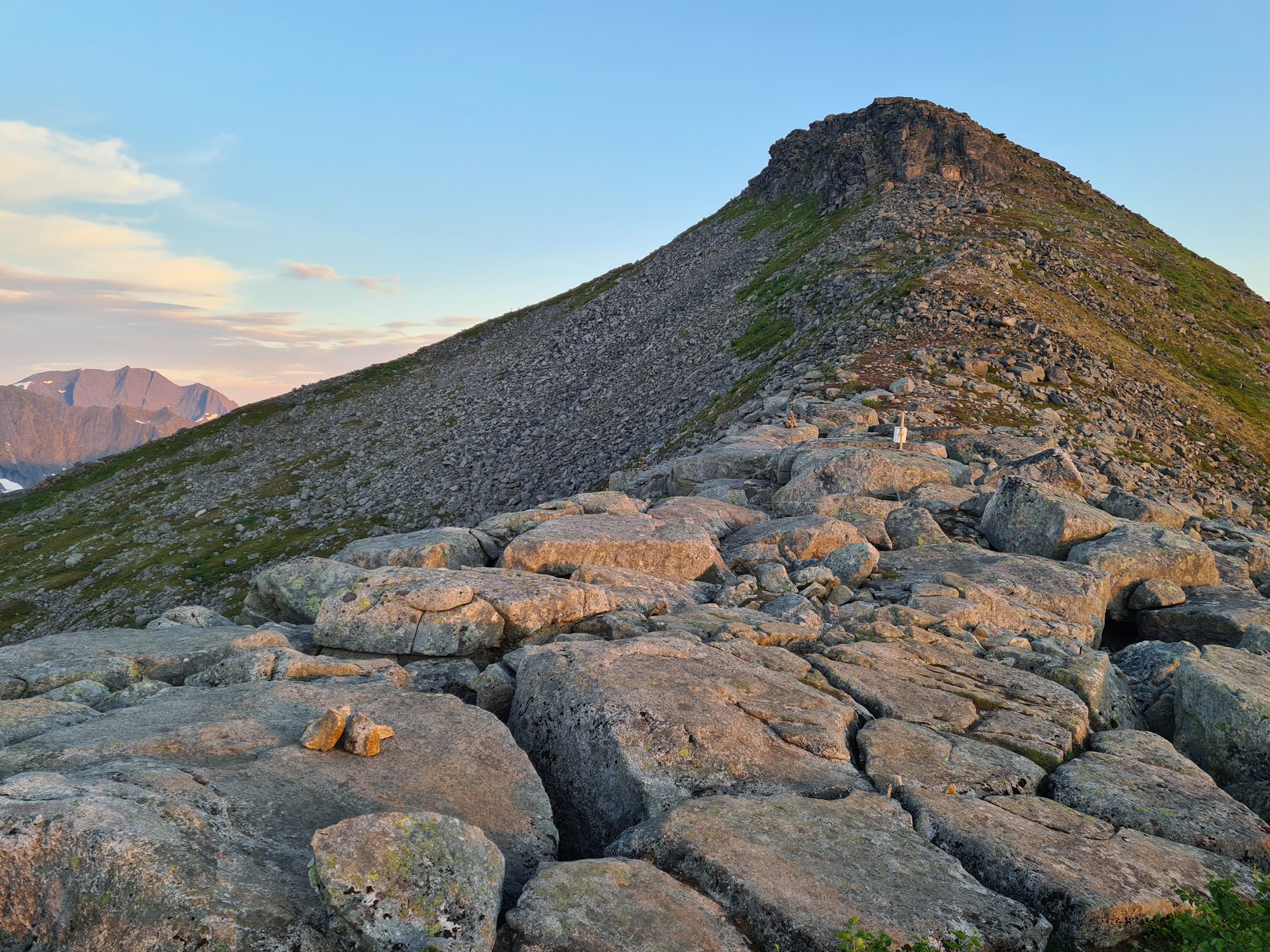
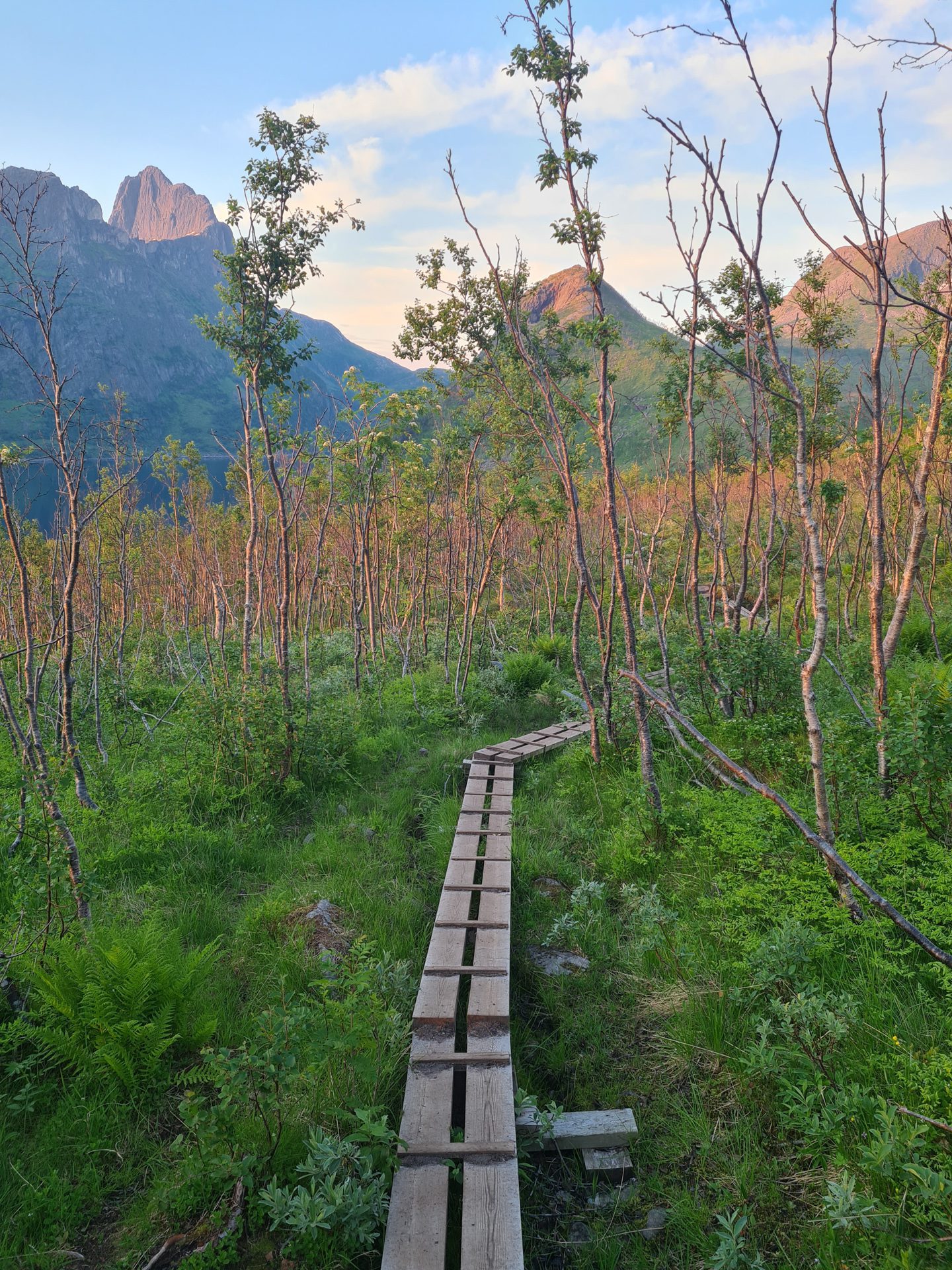
The first part of the route crosses typical Norwegian wetlands that are equipped with wooden walkways. The terrain gradually becomes rockier and steeper as you approach the pass between Hesten and Stavelitippen. The most difficult section is near the summit and includes some relatively exposed areas. Those afraid of heights should exercise caution or stop at the pass to enjoy the panoramic views.
What you'll love
- The view of Segla: This impressive, sharp peak offers an exceptional, unforgettable view. It is THE legendary photo spot for capturing this Norwegian icon.
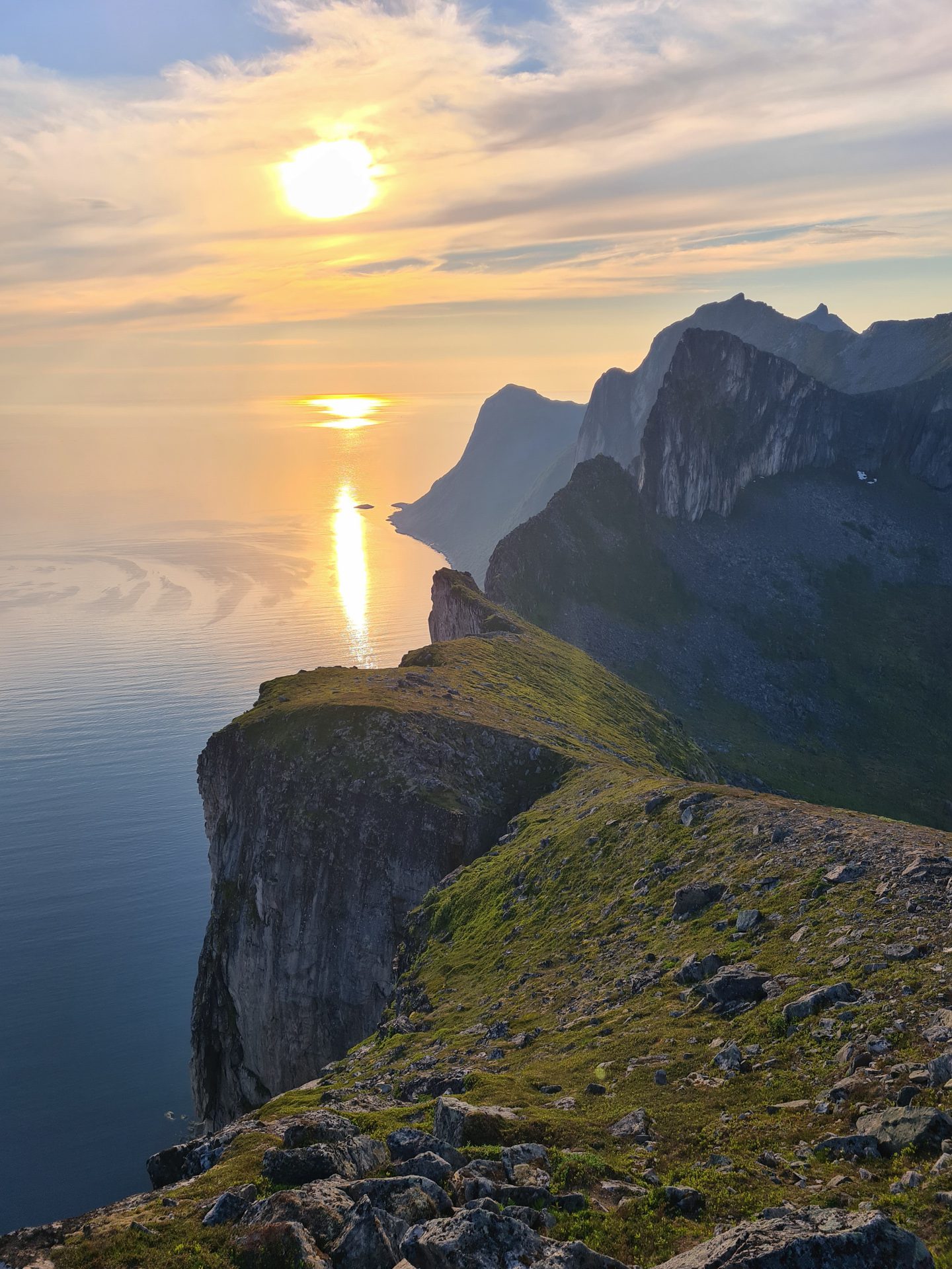
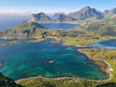
- A breathtaking 360-degree panorama of many of the peaks of Senja Island and the deep blue fjords (Øyfjorden and Mefjorden).
Practical information
Parking
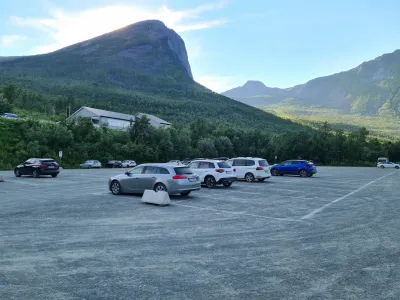
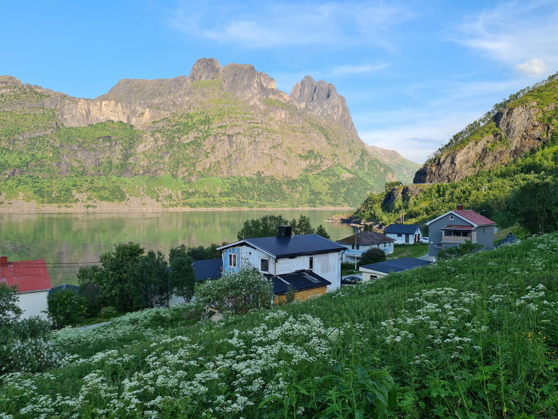
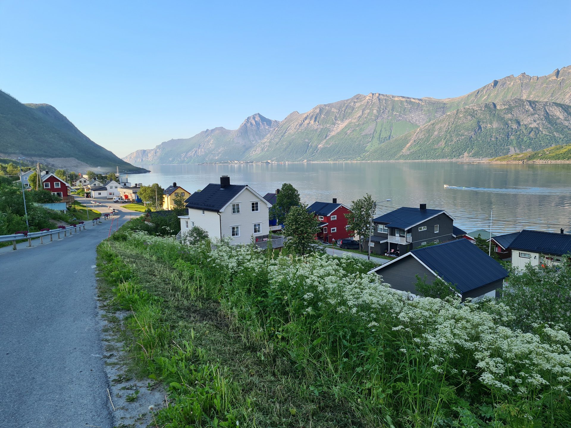
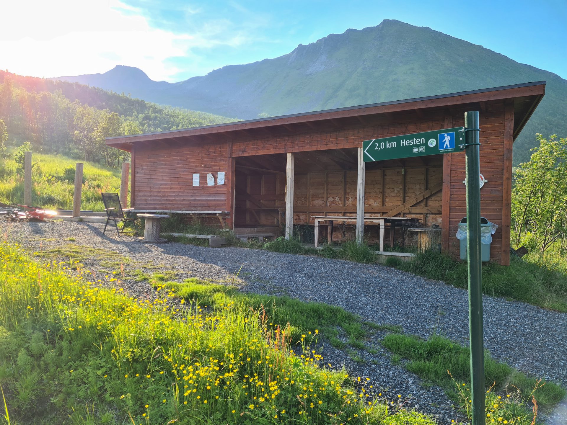
There is only one large (paid) parking lot in Fjordgård dedicated to the Segla hike. To access the Hesten trailhead, follow the road towards the fjord. Take the first left and continue to the highest point of the road near a right-hand bend. You will then see a wooden shelter and signs indicating the path to Hesten.
Best time to go
June to September on average. See the Norway FAQ for more details.
Choice of hike
If you have to choose between hiking to Segla or Hesten, I highly recommend Hesten. Although Hesten's summit is popular, you will encounter fewer people there than on Segla. Additionally, the slopes are less steep, and the views are even more impressive.
Photos
See all 25 photos →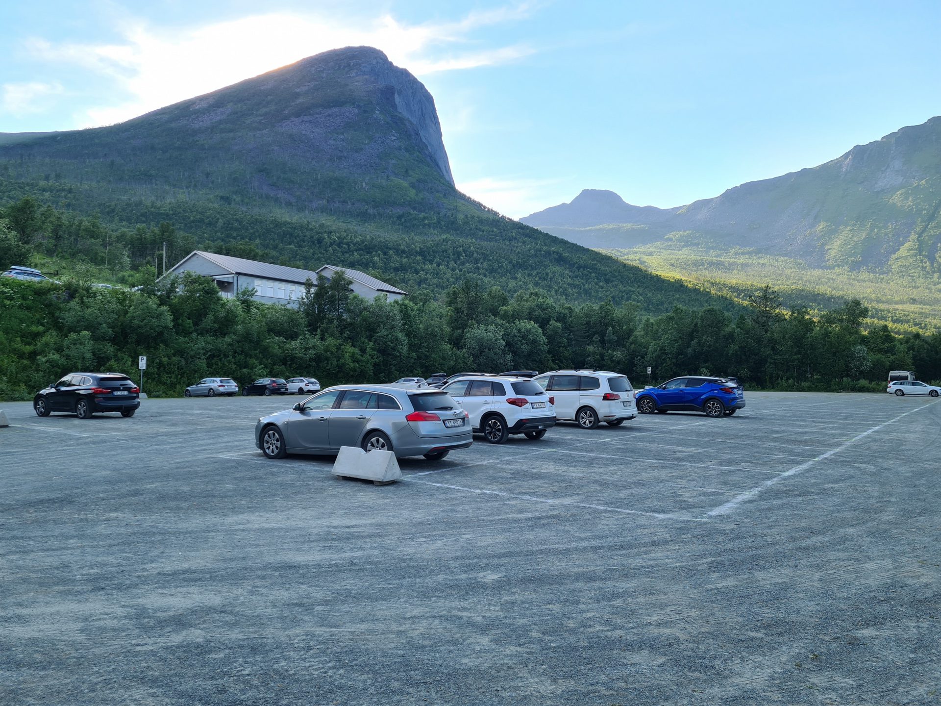
More hikes to do in Norway
Nearby hikes















Printed from www.horizonrando.fr/en/norway/hesten/