






King's Cave Hike
Key facts about the hike
- Difficulty
- Very easy Hikes are rated from very easy to very hard: my difficulty scale
- Duration
- 1h45 Estimated time, short breaks included (photos, water, snacks), picnic not included: how it is calculated
- Distance
- 4.7km
- Elevation gain
- 160m
- Type of route
- Loop
- Maximum altitude
- 115 m
- Vertiginous Five levels, depending on how exposed the route is: the levels in detail
- No
- Marked
- Partially
- Popularity
- Moderate
- Region
- Isle of Arran
- Start point
- 55.53172, -5.33284
- Activity
- Hiking
Hike overview
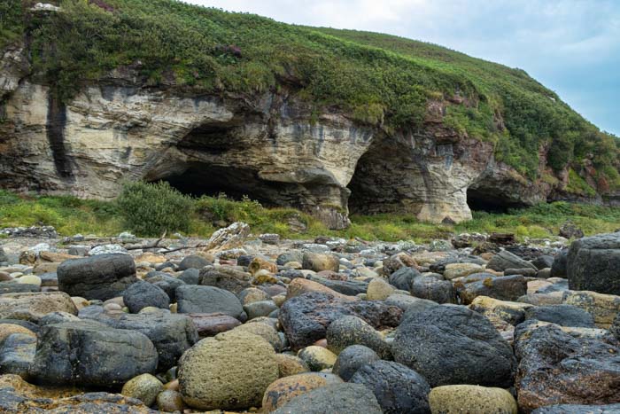
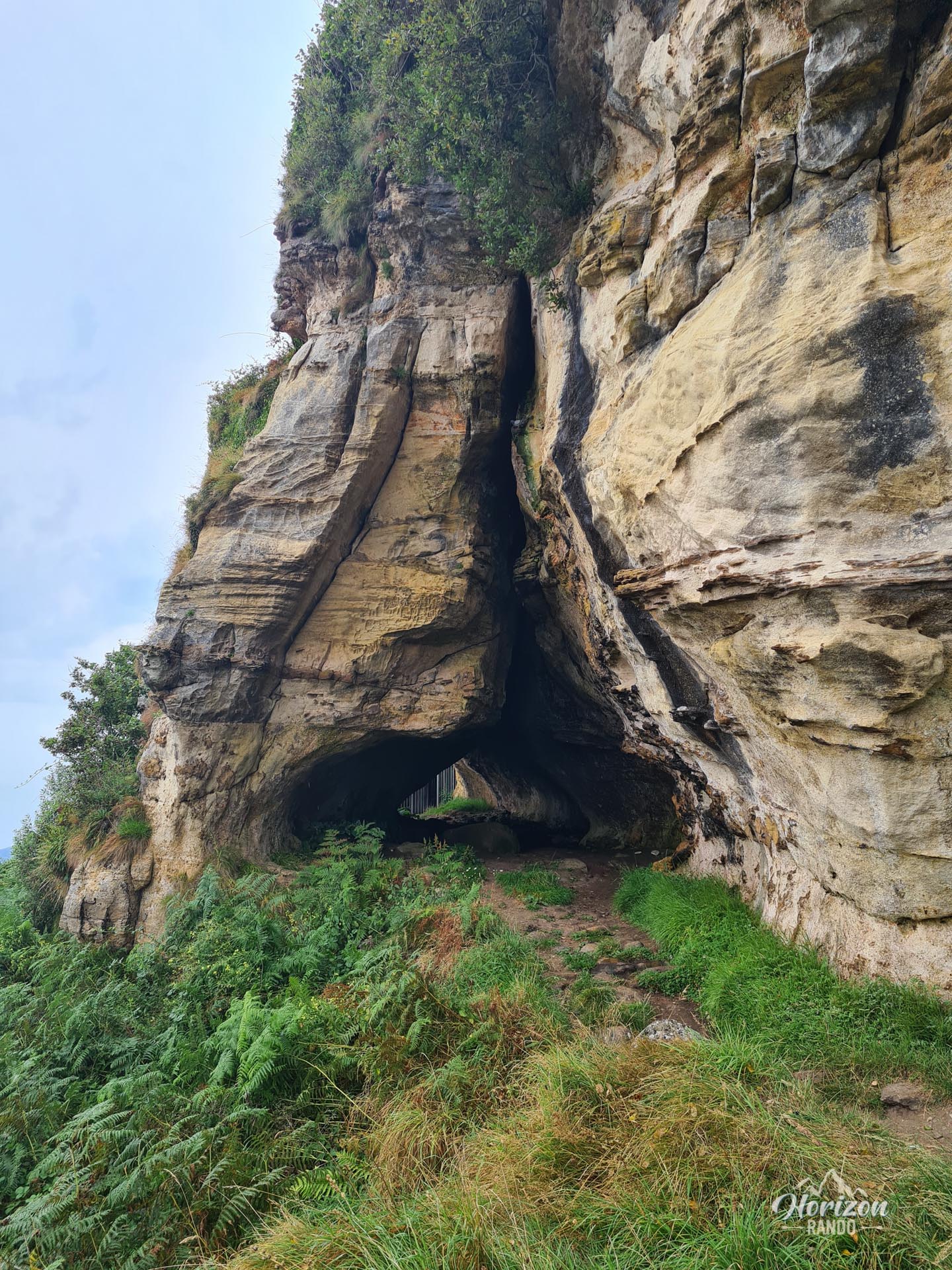
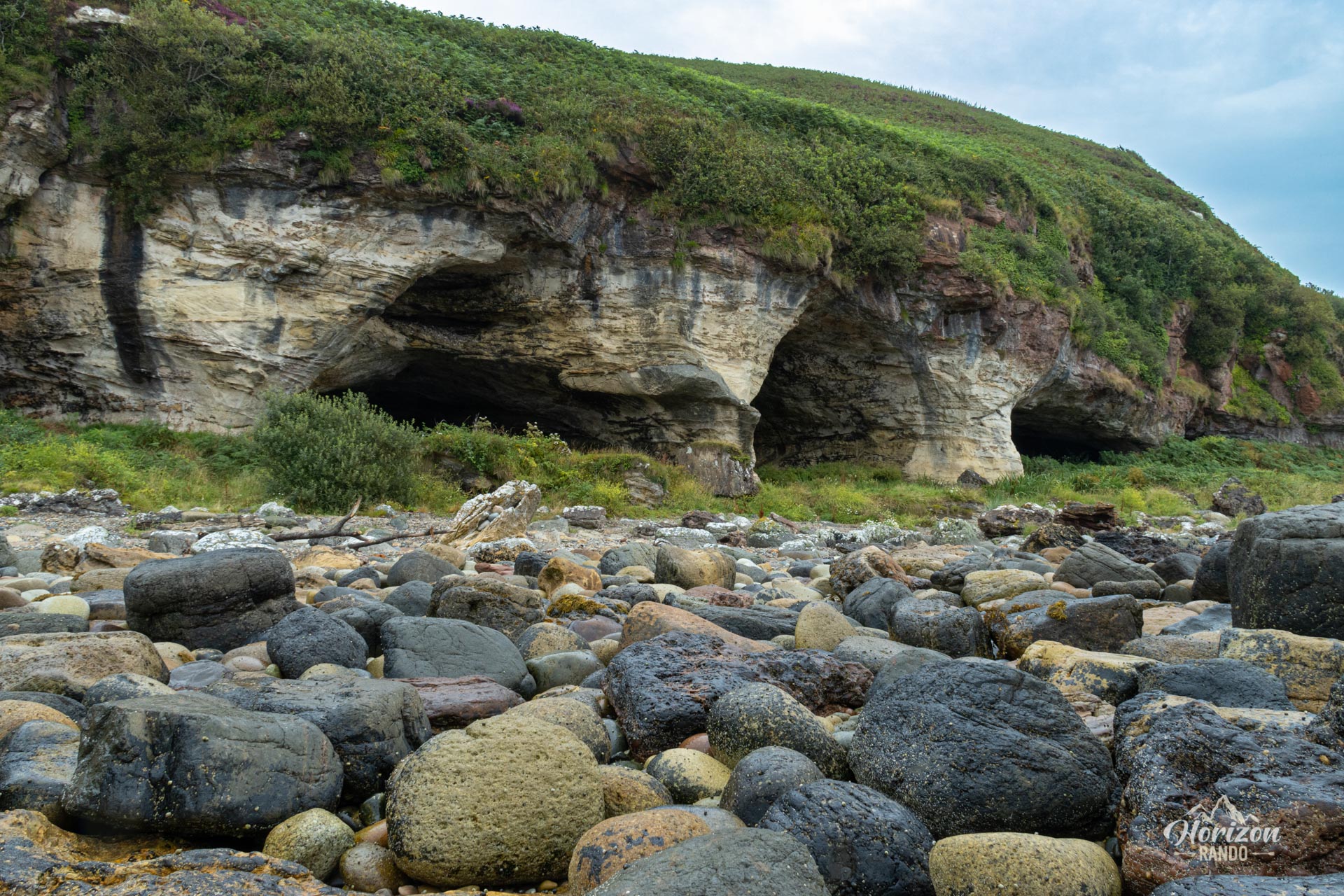
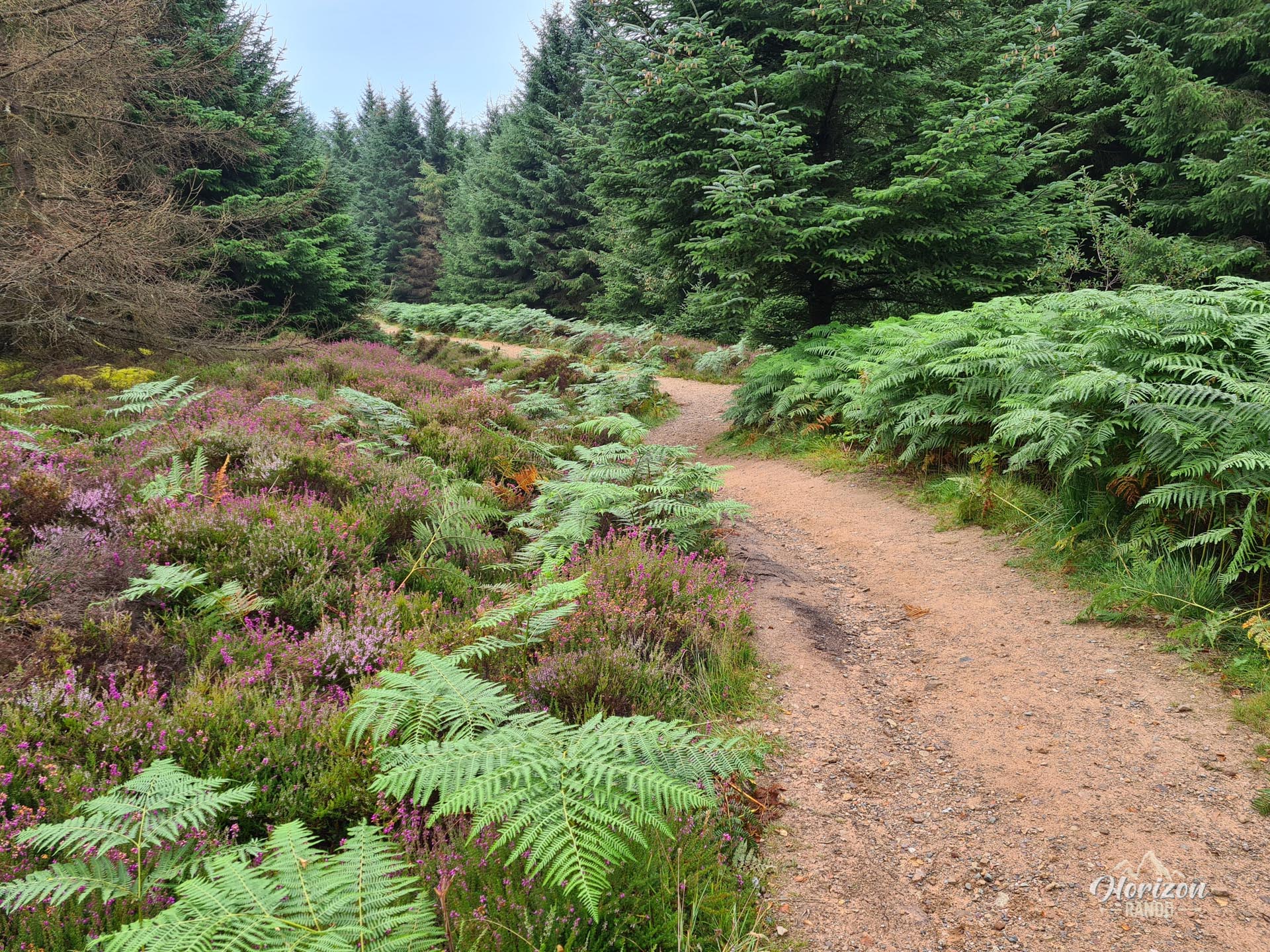
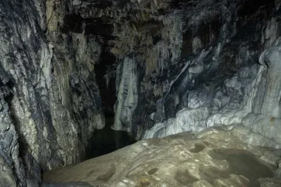
The King's Cave hike takes you on a journey of discovery to one of Scotland's most legendary caves, located on the west coast of the Isle of Arran. This circular walk takes you through pine forests, along spectacular sandstone cliffs, and into a cave steeped in history. Legend has it that Robert the Bruce took refuge there in 1307.
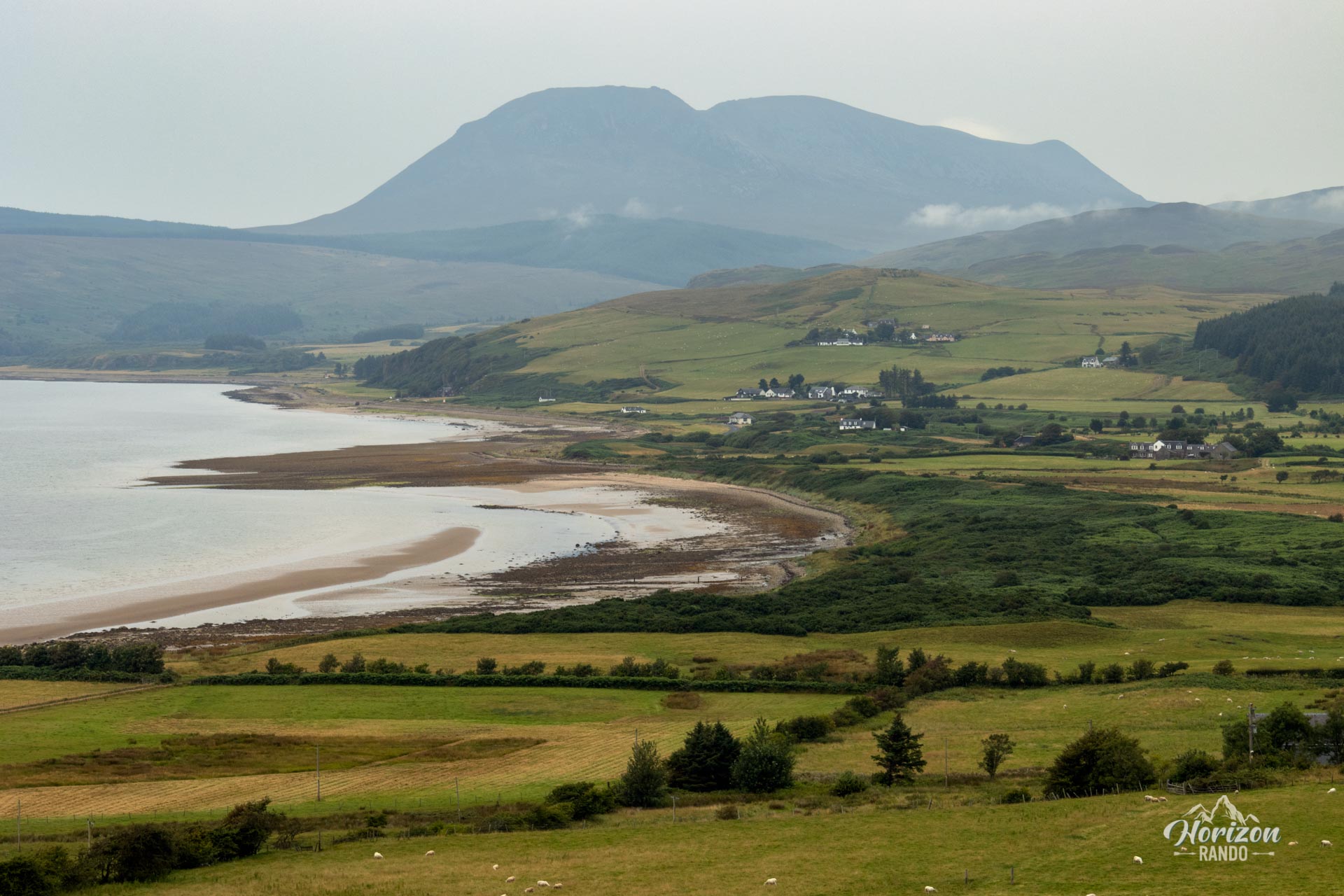
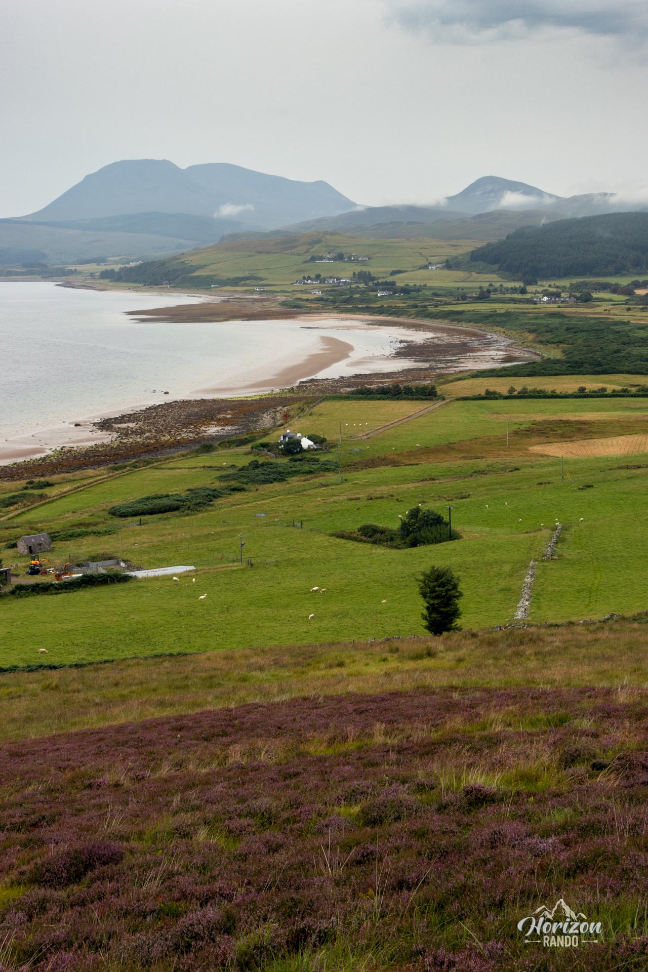
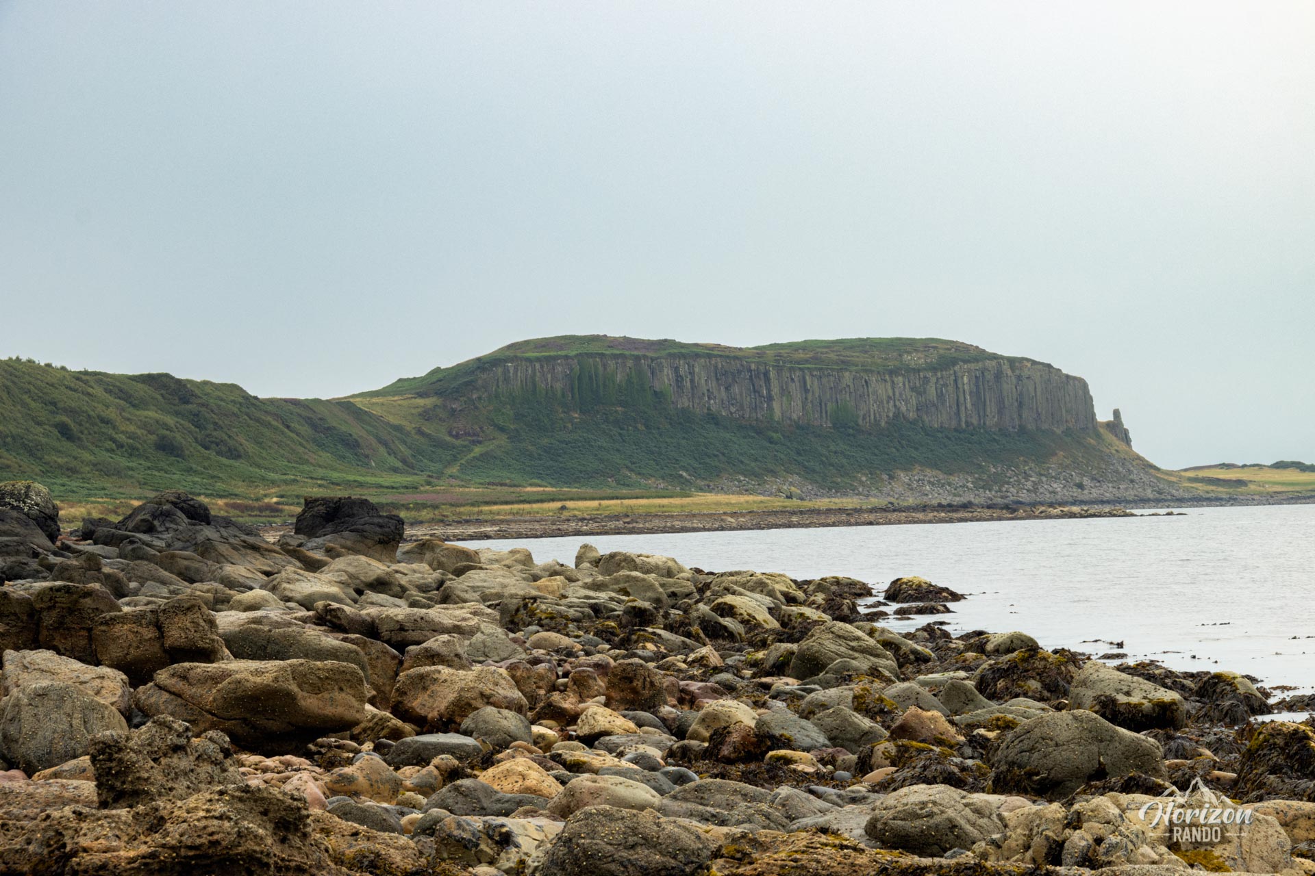
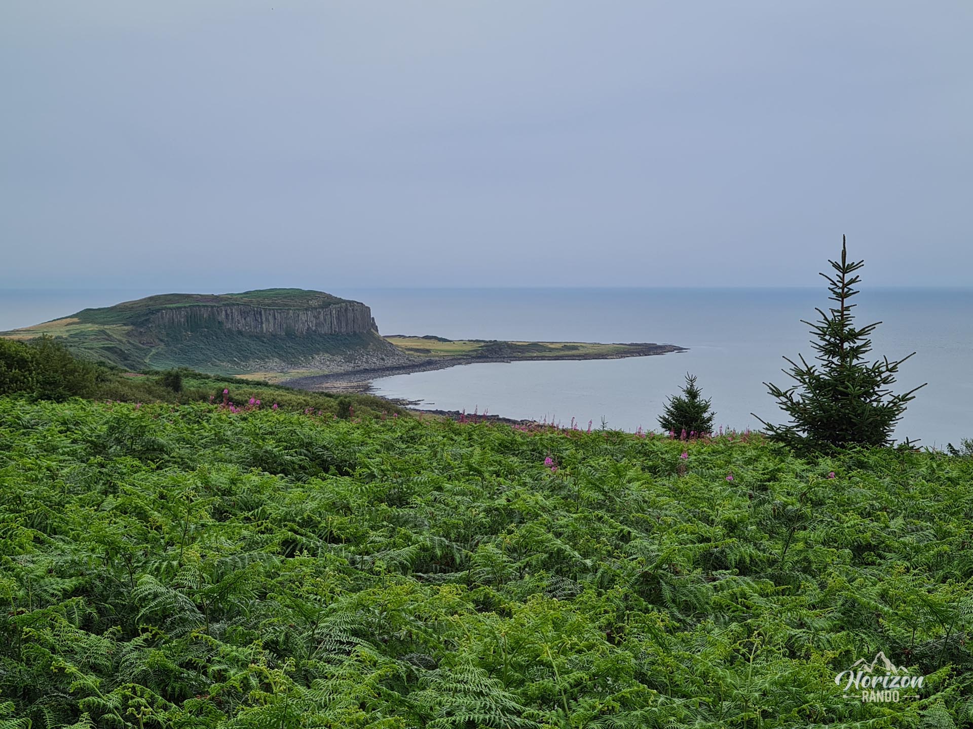
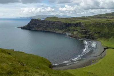
Beyond the legend, the site offers breathtaking views of Kilbrannan Sound, the Pirnmill Hills, and the Kintyre Peninsula.
Map and elevation profile of the hike
King's Cave Hike
Difficulties of the hike
At less than 5 km and with only 160 m of elevation gain, this loop route is accessible to most people. The forest trail is in excellent condition and well-maintained, with markings in some places, which is rare in Scotland.
However, be careful on the coastal section; the rocks can be slippery, especially in wet weather.
What you'll love
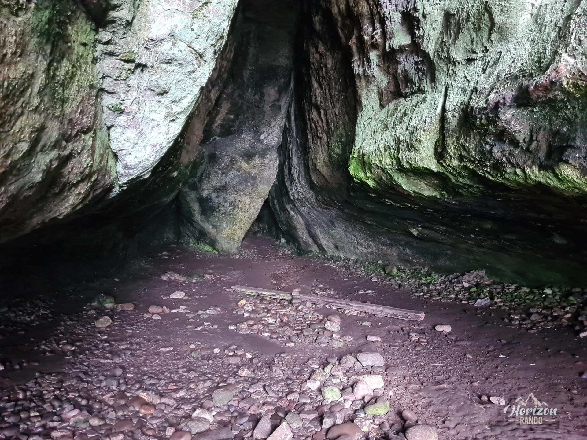
- Exploring King's Cave and the surrounding caves with ancient inscriptions carved into the sandstone, steeped in history and legend.
- The spectacular coastal panoramas of the west coast of Arran, the Pirnmill Hills, and Kilbrannan Sound with views stretching to the Kintyre Peninsula.
Photos
See all 9 photos →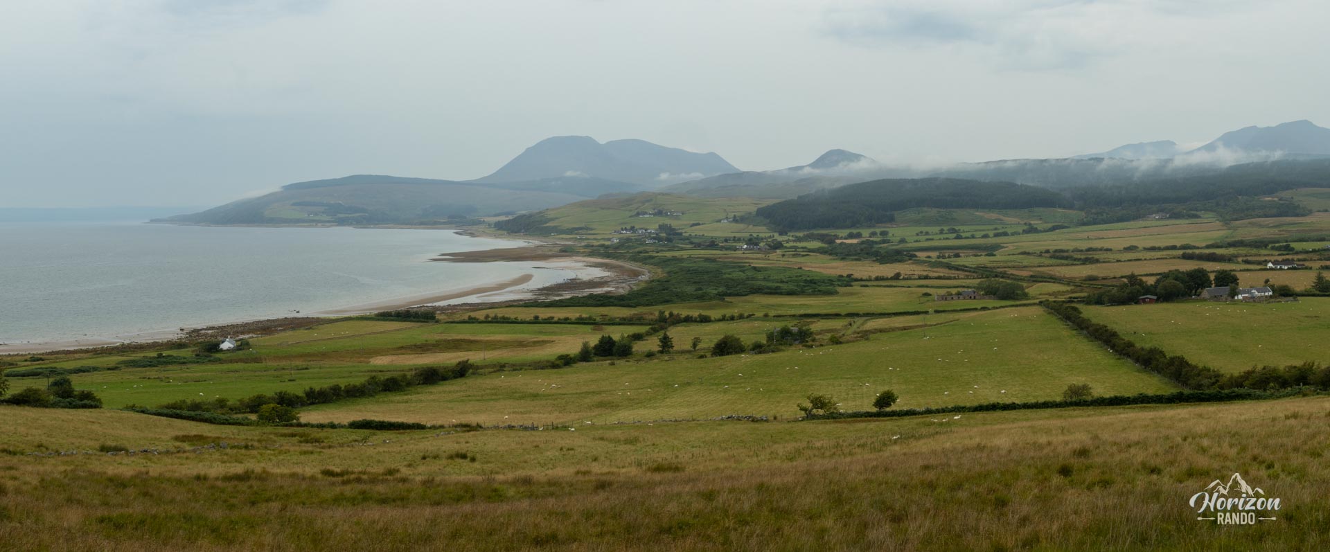
More hikes to do in Scotland
Nearby hikes

















Printed from www.horizonrando.fr/en/scotland/kings-cave/