





Beinn a' Chrùlaiste Hike
Key facts about the hike
- Difficulty
- Moderate Hikes are rated from very easy to very hard: my difficulty scale
- Duration
- 3h30 Estimated time, short breaks included (photos, water, snacks), picnic not included: how it is calculated
- Distance
- 6.9km
- out and back
- Elevation gain
- 620m
- Type of route
- Out and back
- Maximum altitude
- 857 m
- Vertiginous Five levels, depending on how exposed the route is: the levels in detail
- No
- Marked
- No
- Popularity
- Low
- Region
- Glencoe
- Start point
- 56.66472, -4.90491
- Activity
- Hiking
Hike overview
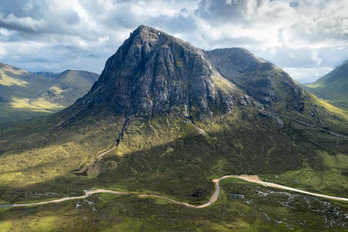
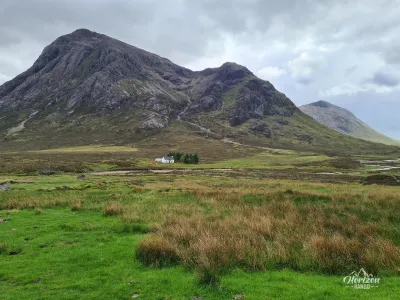
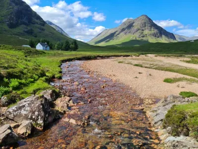
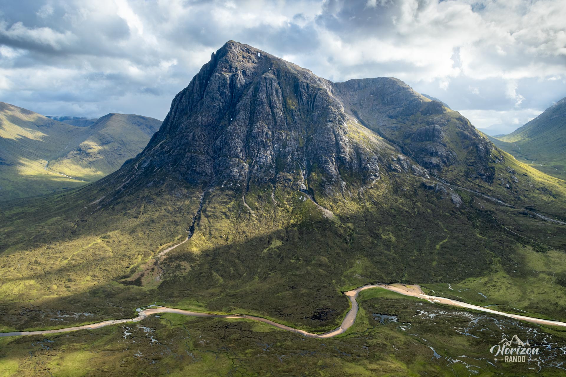
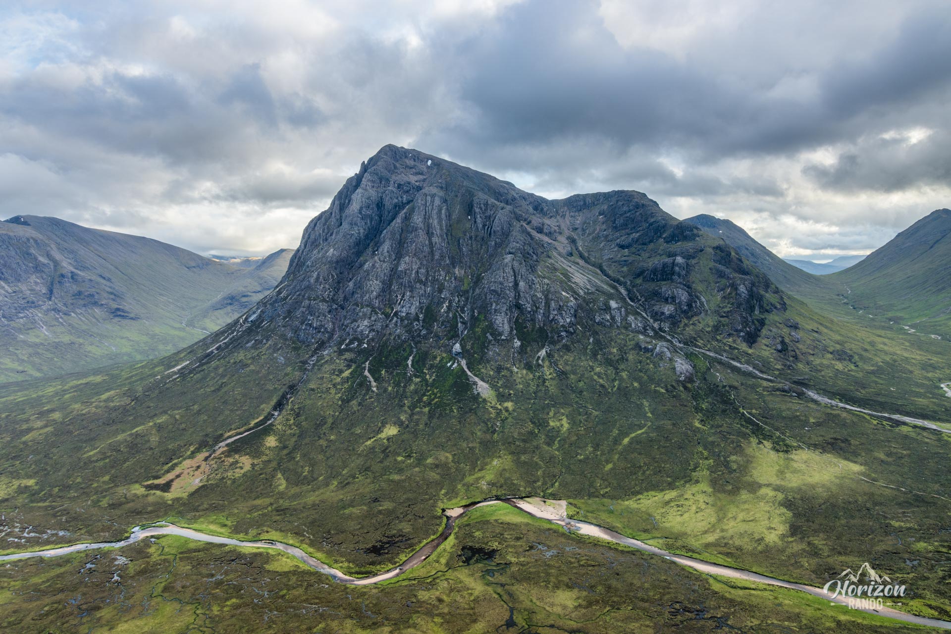
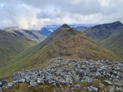
The Beinn a' Chrùlaiste hike leads to the summit of an ordinary-looking mountain in Glencoe, where one of the most beautiful viewpoints in the valley awaits. This Corbett offers an exceptional vantage point from which to take in the majestic Buachaille Etive Mòr, a true icon of the Scottish Highlands, as well as the vastness of Rannoch Moor and the surrounding peaks.
Although this spectacular viewpoint is less frequented than the neighboring peaks of Glencoe Valley, it is a very popular destination for photographers.
Map and elevation profile of the hike
Beinn a' Chrùlaiste Hike
Difficulties of the hike
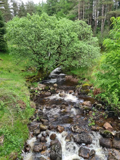
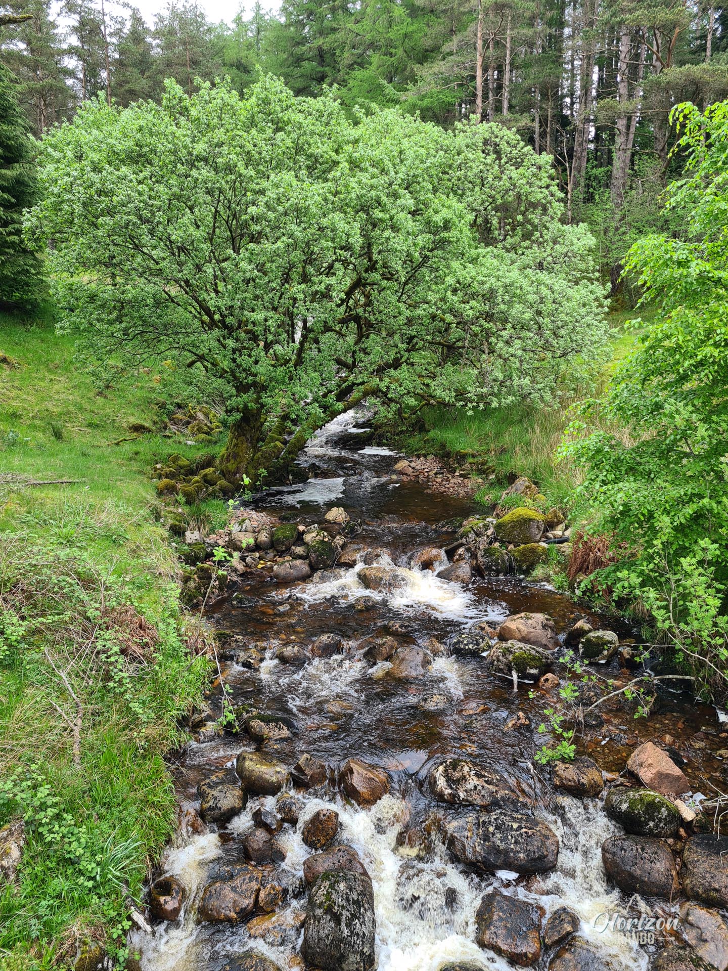
This moderate hike involves an elevation gain of about 600 meters over 6.7 kilometers round trip. While not technically difficult, you should expect to cross many marshy sections, especially at the beginning of the trail. The well-defined trail gradually becomes less obvious and even disappears in the upper part. However, navigation remains simple: just keep heading east with the summit in your sights.
What you'll love
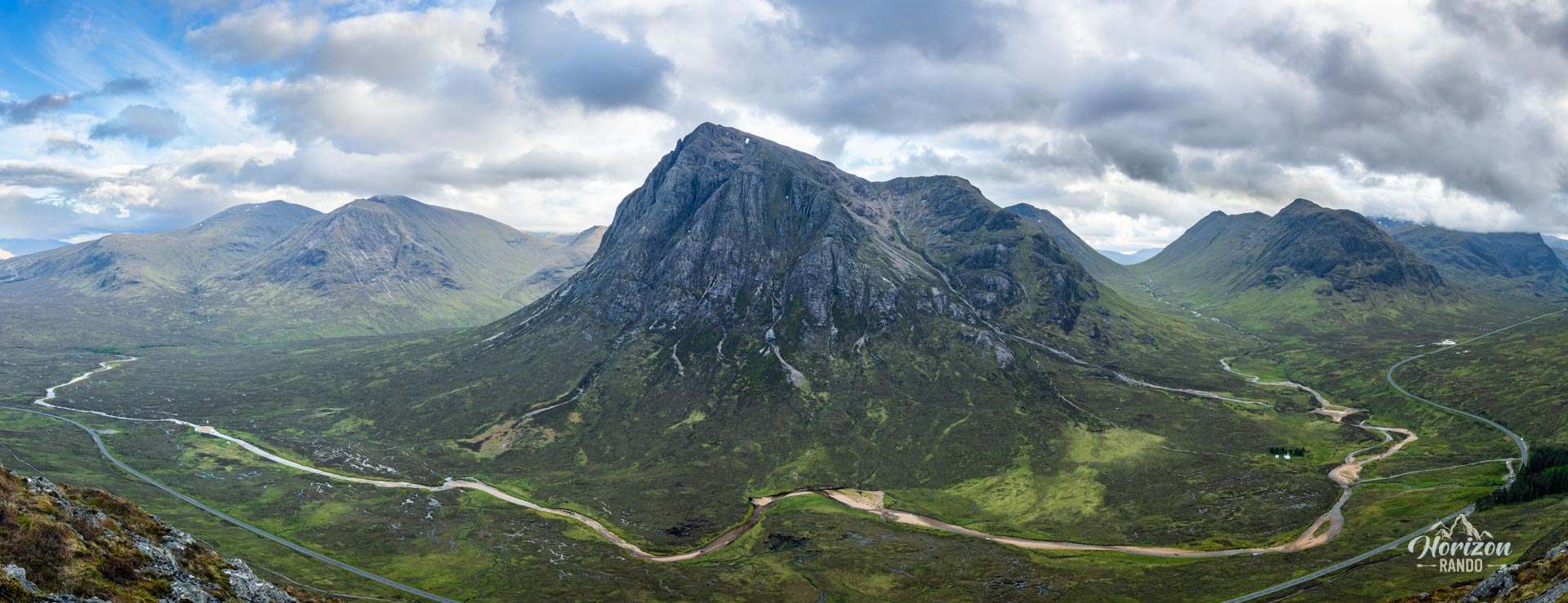
- The spectacular view of Buachaille Etive Mòr: The southern view provides the most beautiful perspective of this iconic Glencoe mountain and is perfect for photography.
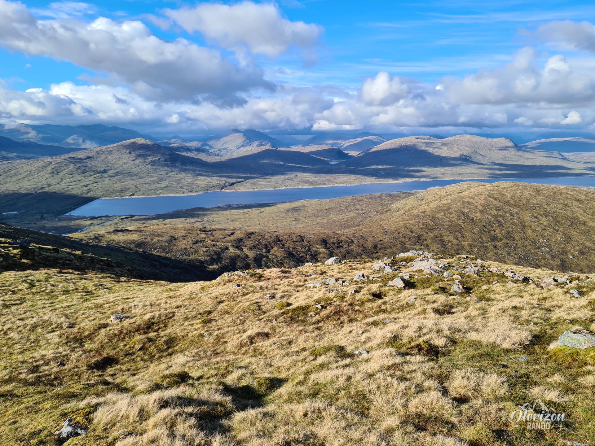
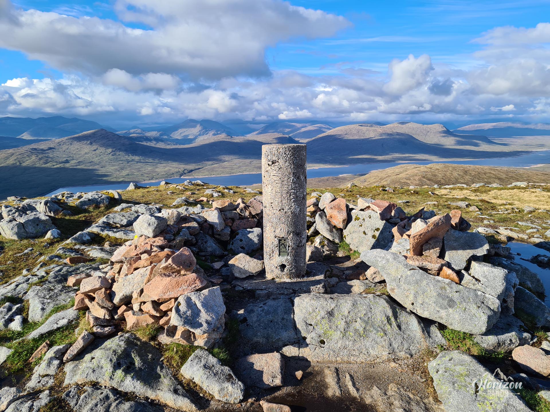
- A 360-degree view from the summit: Take in the vast, flat expanse of Rannoch Moor, the entire Glencoe valley, and, on a clear day, Ben Nevis.
- Few visitors: Unlike the neighboring Munros, this summit remains quiet, allowing you to enjoy the scenery in peace.
Practical information
Shorter hike
The best views of the Glencoe Valley and Buachaille Etive Mòr are halfway up after climbing 300 meters. If you are short on time, you can turn back at Stob Beinn a' Chrùlaiste (639 m). This significantly reduces the effort required while still allowing you to enjoy the most spectacular views.
Photos
See all 7 photos →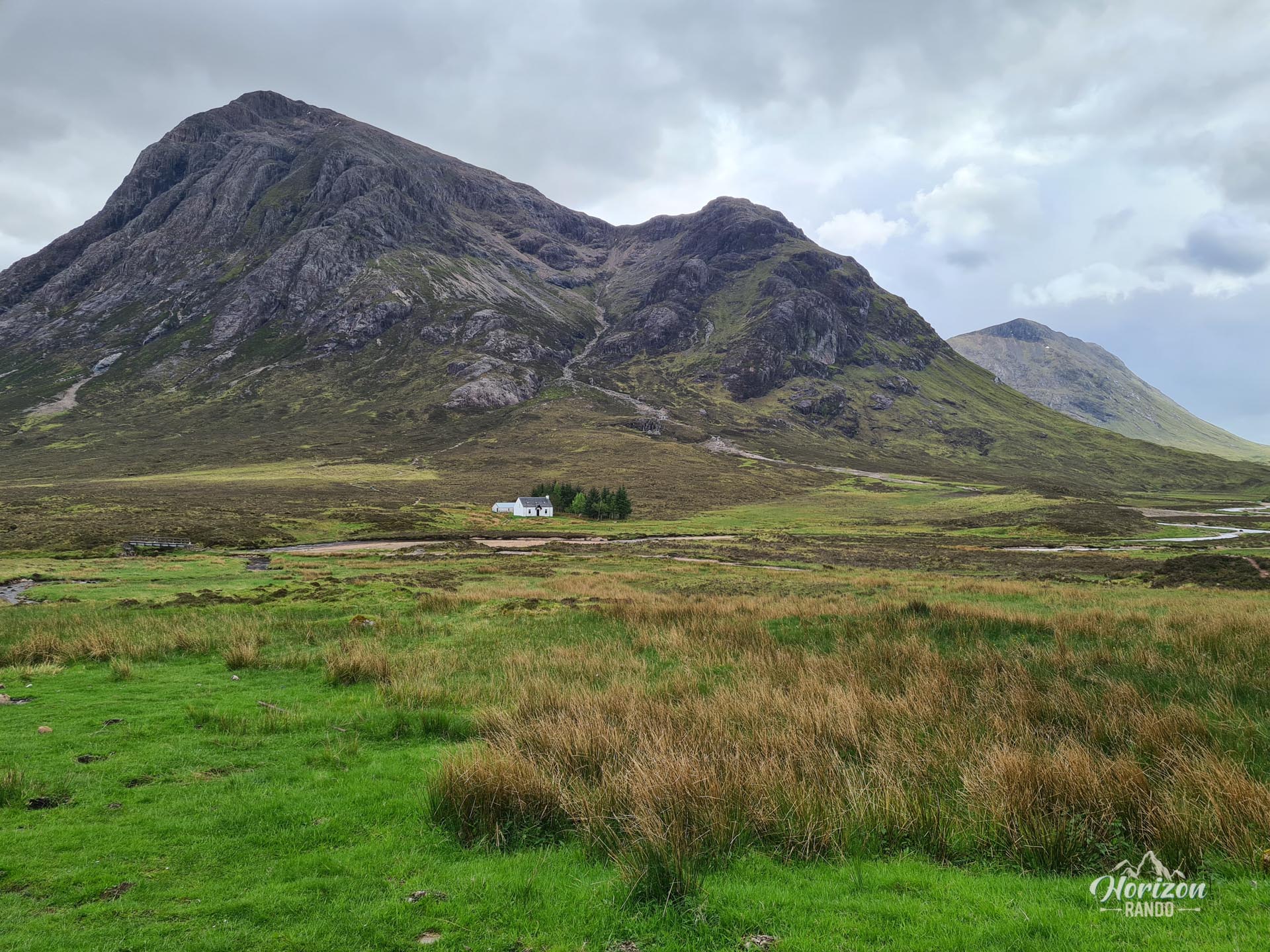
More hikes to do in Scotland
Nearby hikes










Printed from www.horizonrando.fr/en/scotland/beinn-a-chrulaiste/