





Ben Vrackie Hike
Key facts about the hike
- Difficulty
- Moderate Hikes are rated from very easy to very hard: my difficulty scale
- Duration
- 4h Estimated time, short breaks included (photos, water, snacks), picnic not included: how it is calculated
- Distance
- 9.3km
- out and back
- Elevation gain
- 750m
- Type of route
- Out and back
- Maximum altitude
- 841 m
- Vertiginous Five levels, depending on how exposed the route is: the levels in detail
- No
- Marked
- No
- Popularity
- Moderate
- Region
- Cairngorms
- Start point
- 56.71550, -3.72758
- Activity
- Hiking
Hike overview
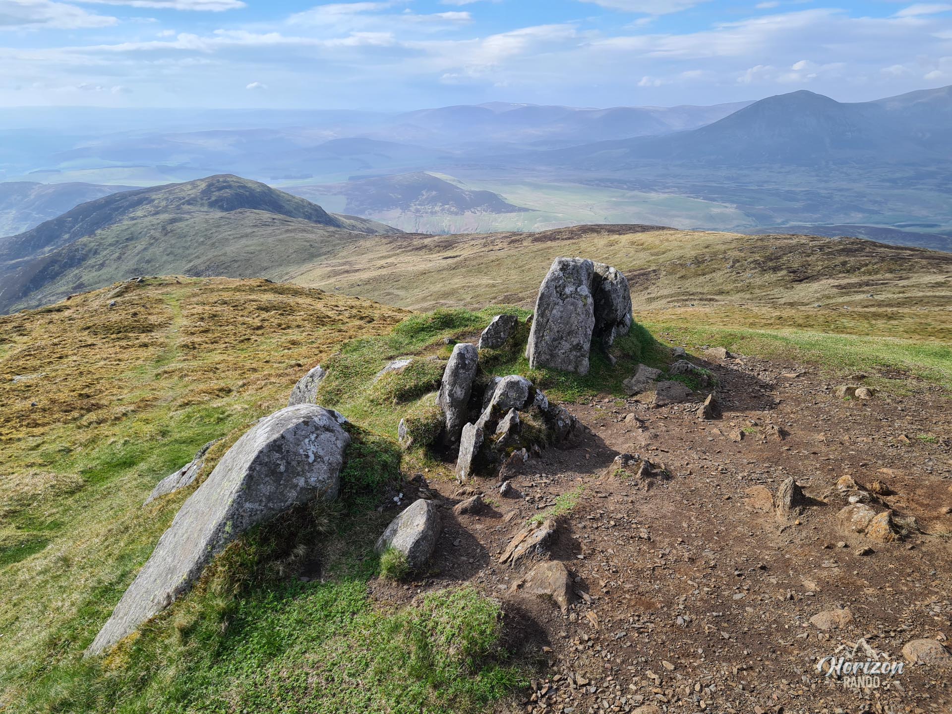
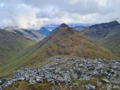
The Ben Vrackie hike leads to the summit of this isolated Perthshire mountain, which overlooks the town of Pitlochry. At 841 meters above sea level, this Corbett (a mountain between 2,500 and 3,000 feet) offers unobstructed views of the Cairngorms to the north, the Beinn a'Ghlo range, and the surrounding Highland valleys. This hike is very popular with locals and is an excellent introduction to Scottish peaks.
Map and elevation profile of the hike
Ben Vrackie Hike
Difficulties of the hike
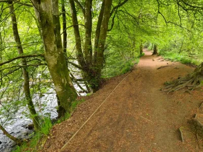
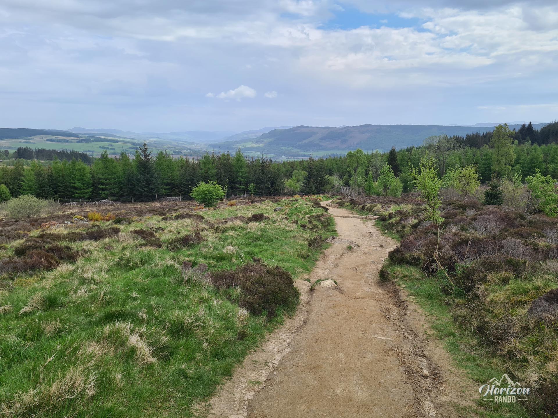
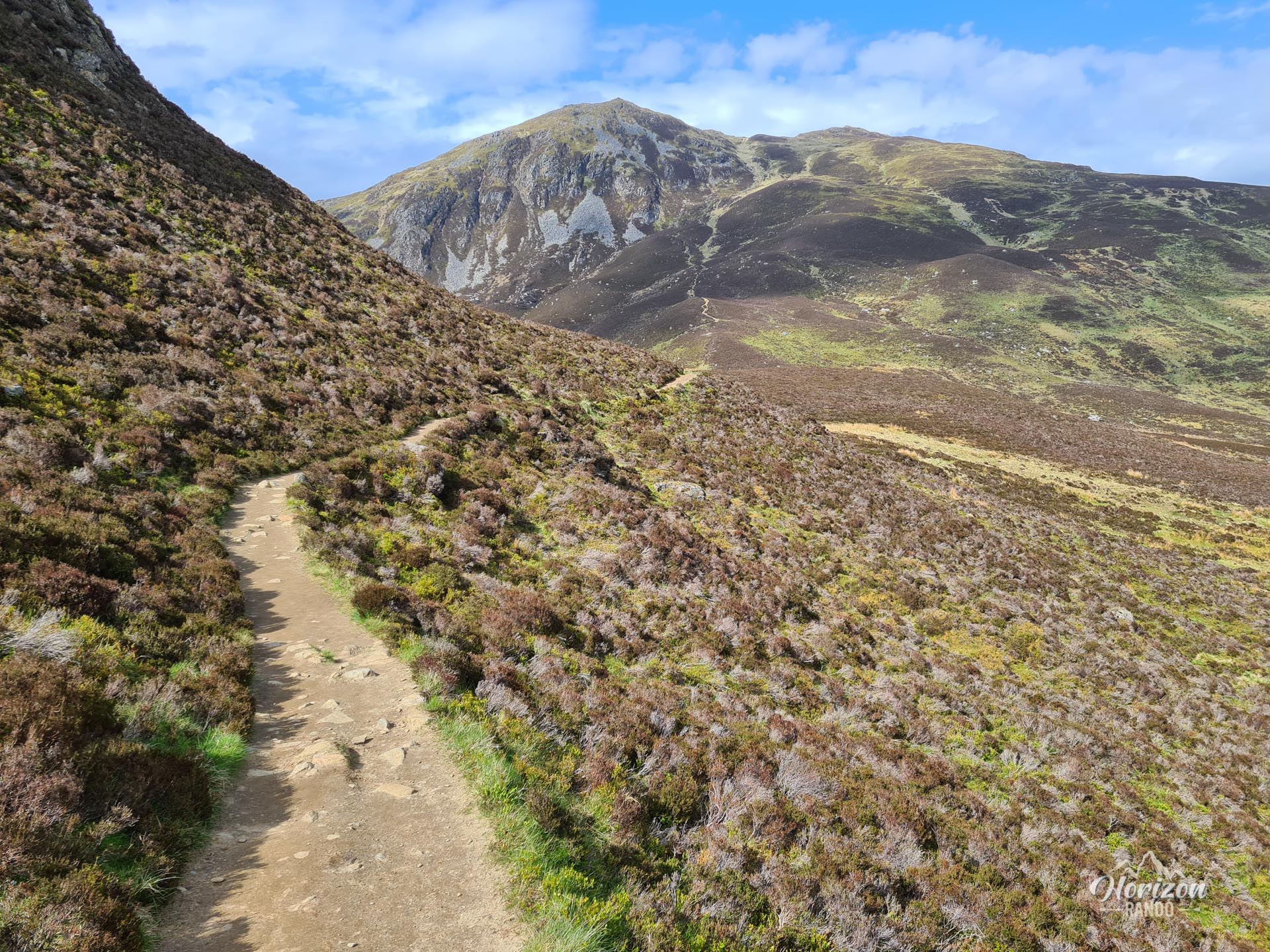
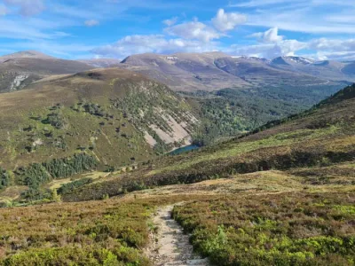
The well-maintained trail to the summit is renowned for its quality. Some sections are physically demanding, but none are technically difficult. The route is not marked, but it is easy to follow in good weather, as there are few intersections. Nevertheless, always bring a GPS device or map. Scottish weather can change suddenly, and visibility can drop to zero in a matter of minutes.
What you'll love
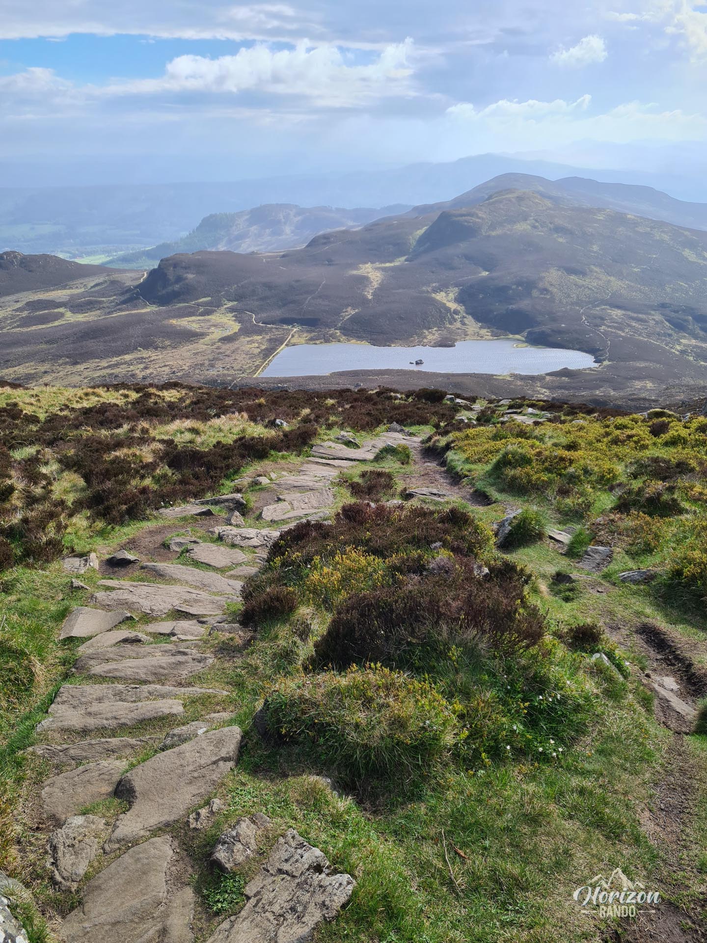
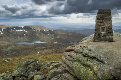
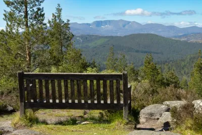
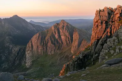
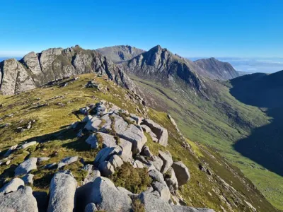
- The spectacular panorama from the summit: On a clear day, enjoy unobstructed views of the Cairngorms, the Beinn a' Ghlo massif, Schiehallion, and Pitlochry below.
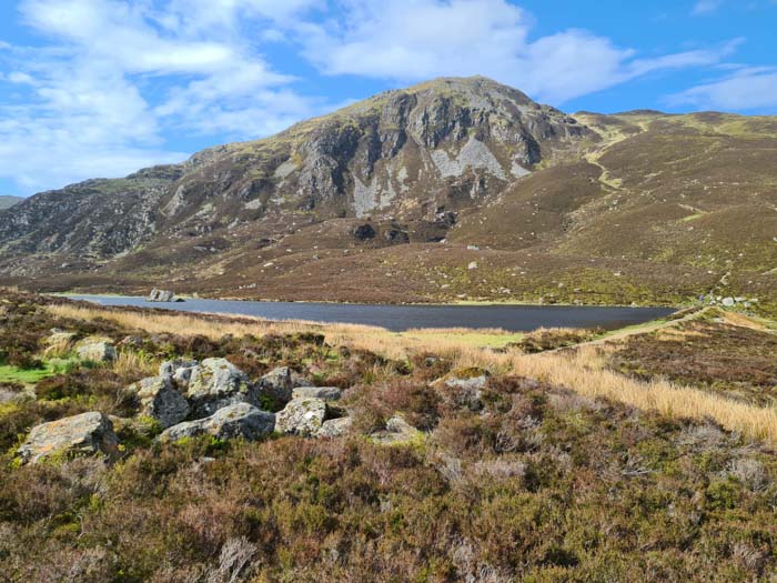
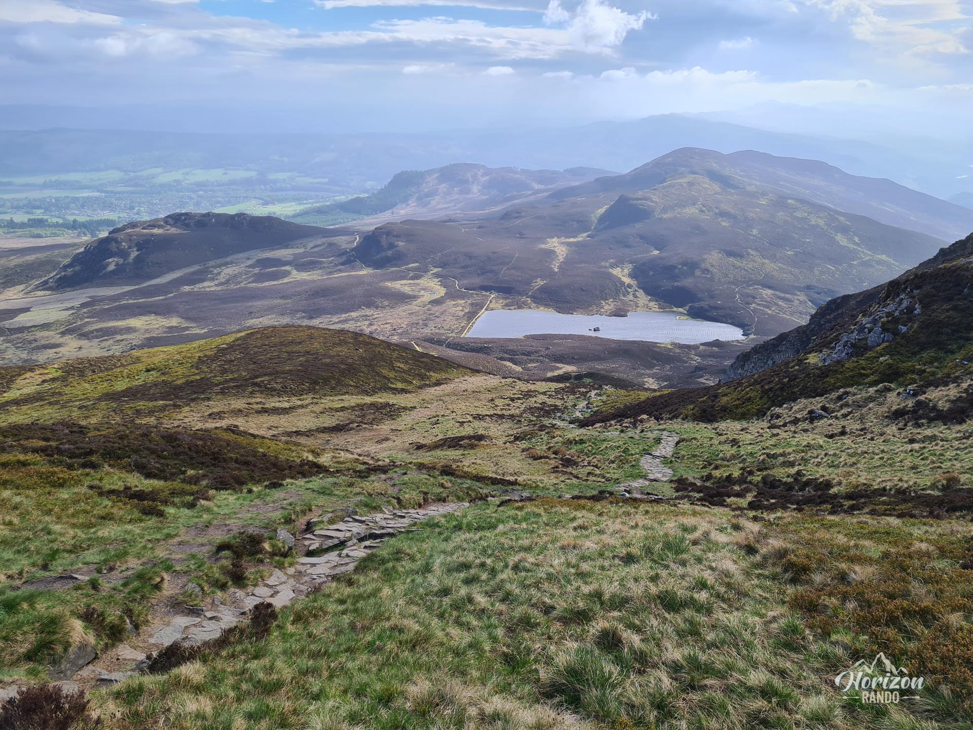
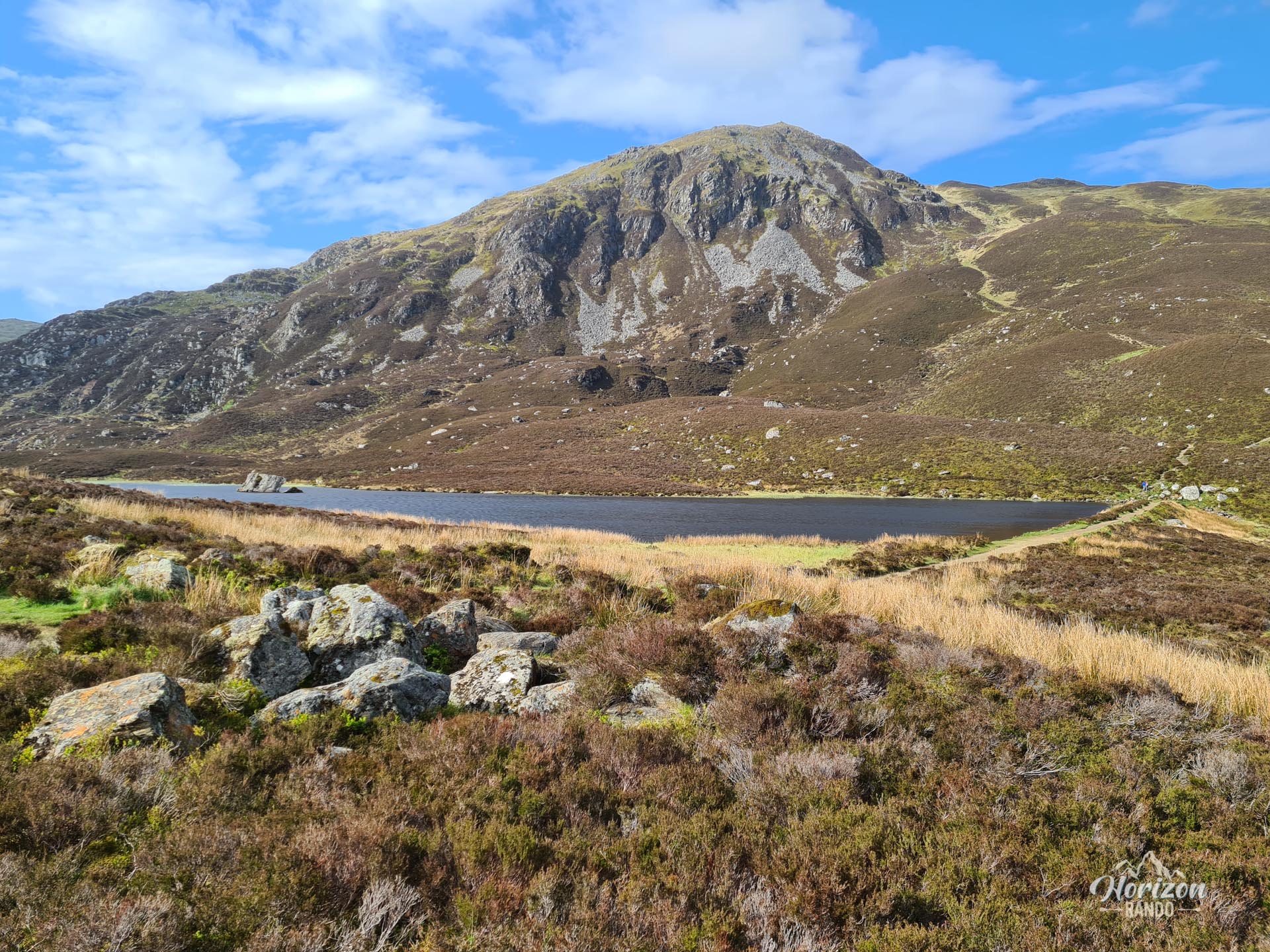
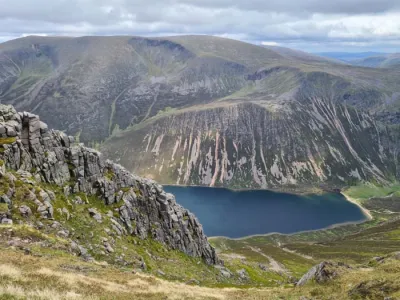
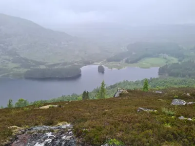
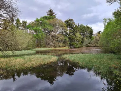
- Loch a' Choire, a magnificent mountain lake at the foot of the final ascent. It's an ideal place to rest before the last push.
Photos
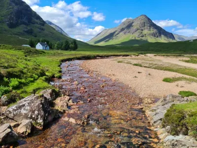
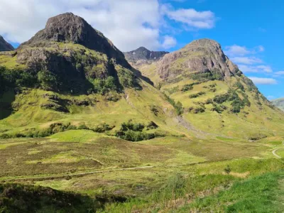
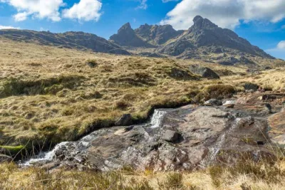
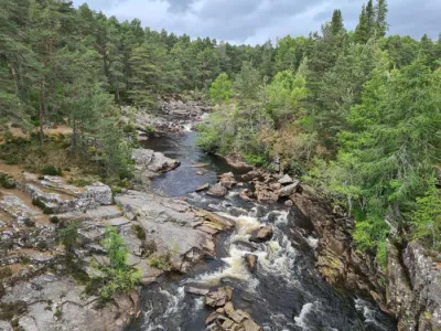
See all 11 photos →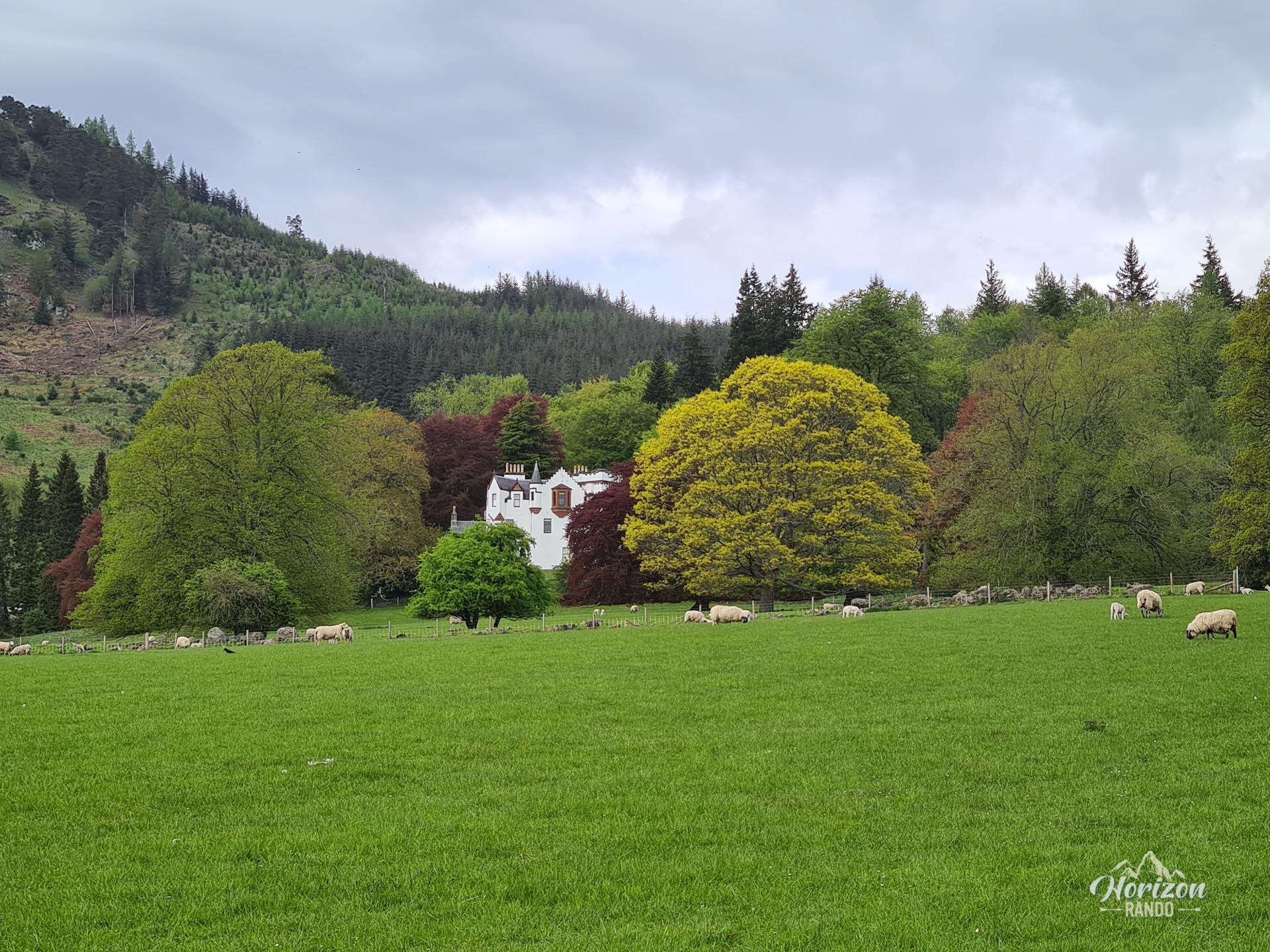
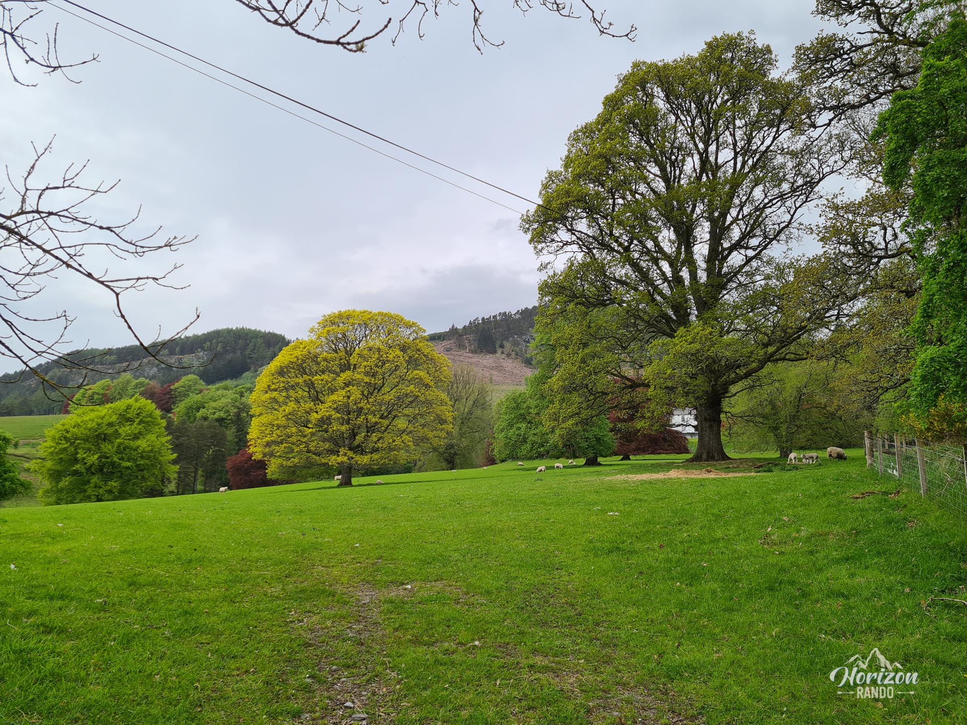
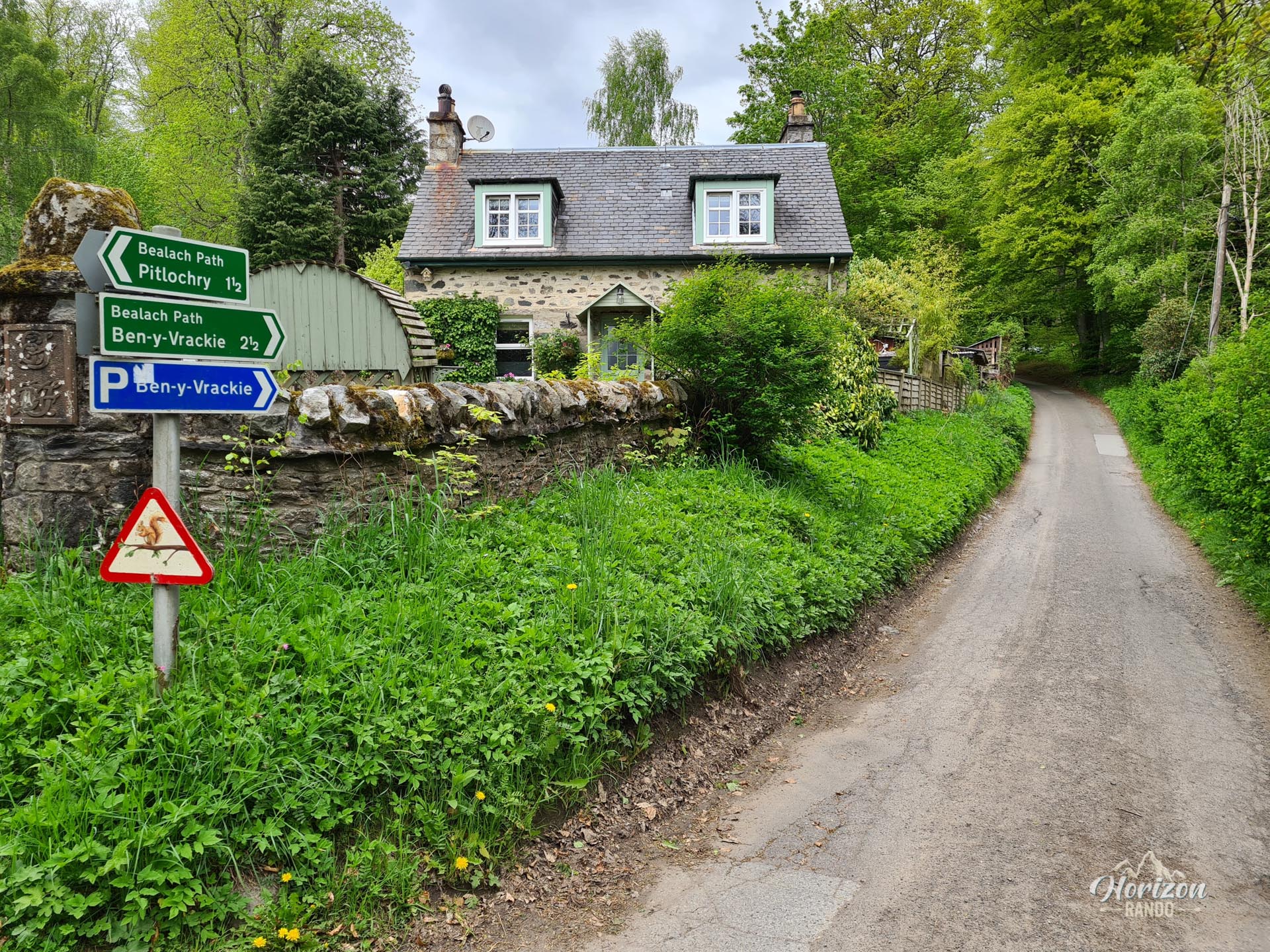
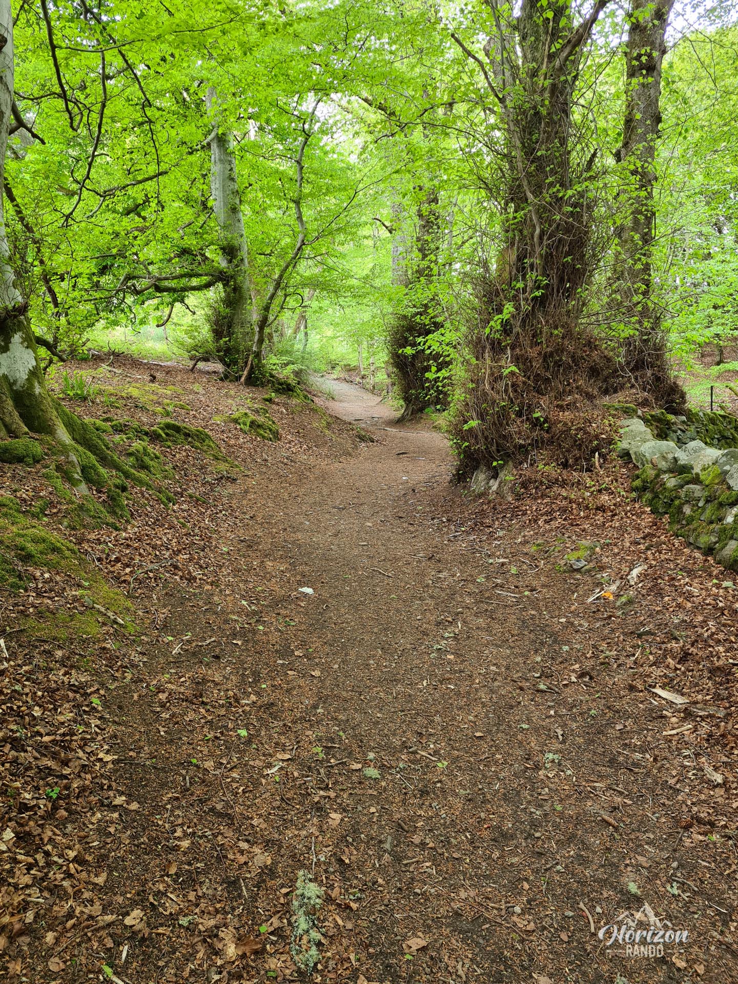
More hikes to do in Scotland
Nearby hikes










Printed from www.horizonrando.fr/en/scotland/ben-vrackie/