





Silverbridge Hike
Key facts about the hike
- Difficulty
- Very easy Hikes are rated from very easy to very hard: my difficulty scale
- Duration
- 1h30 Estimated time, short breaks included (photos, water, snacks), picnic not included: how it is calculated
- Distance
- 3.3km
- Elevation gain
- 50m
- Type of route
- Loop
- Maximum altitude
- 122 m
- Vertiginous Five levels, depending on how exposed the route is: the levels in detail
- No
- Marked
- Yes
- Popularity
- Low
- Region
- Inverness
- Start point
- 57.63680, -4.67825
- Activity
- Hiking
Hike overview
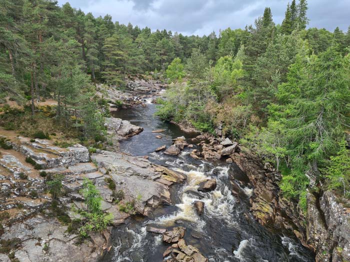
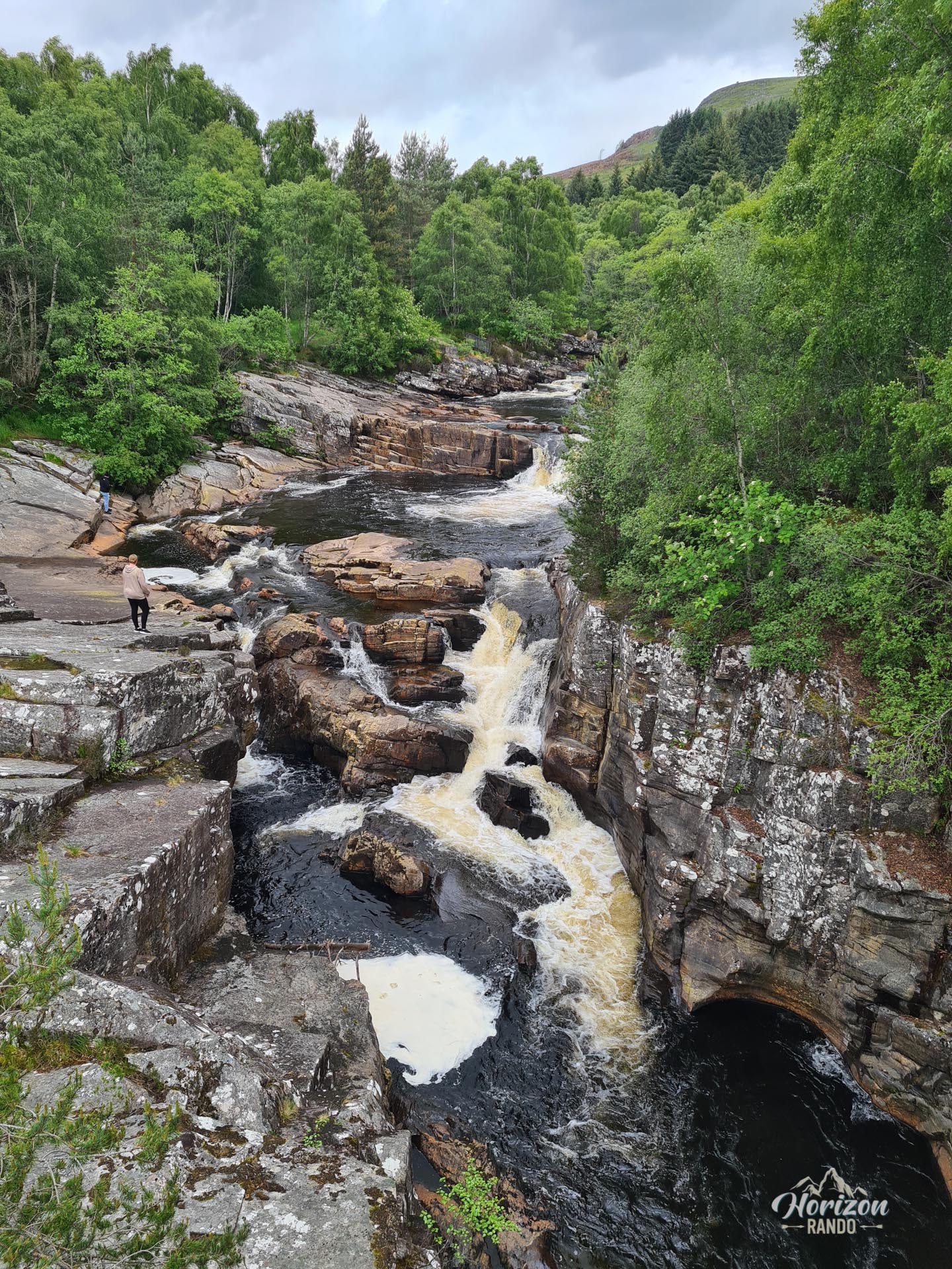
The Silverbridge to Little Garve circuit is a pleasant loop walk that winds between two historic stone bridges spanning the Black Water. This short, charming forest walk is punctuated by the sound of the river and the spectacle of its waterfalls, providing a breath of fresh air and making it ideal for a family outing.
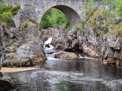
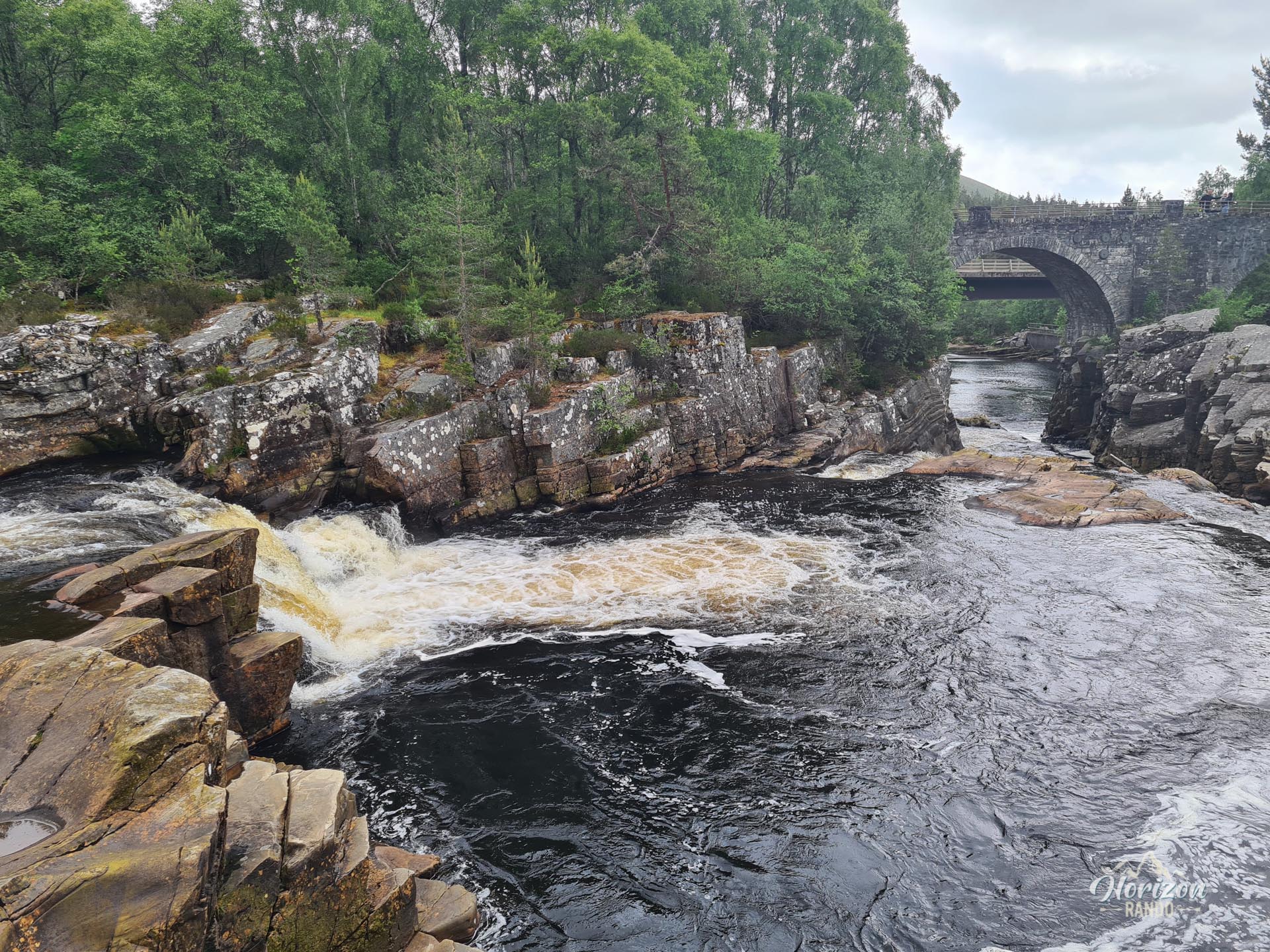
Silverbridge, a double-arched bridge dating from the early 19th century, and Little Garve Bridge are part of an old road used by cattle merchants who drove their herds to markets in southern Scotland.
Map and elevation profile of the hike
Silverbridge Hike
Difficulties of the hike
This route presents no technical or physical difficulties. The trail and forest track are almost flat and clearly marked.
What you'll love
- The two magnificent historic bridges: Silver Bridge, an elegant double-arched bridge; and Little Garve Bridge, which was built 250 years ago as part of a military road that linked Contin to Poolewe.
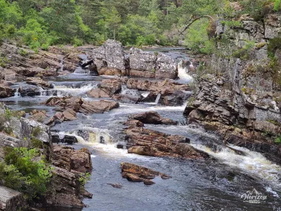
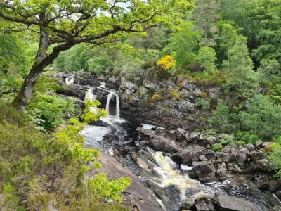
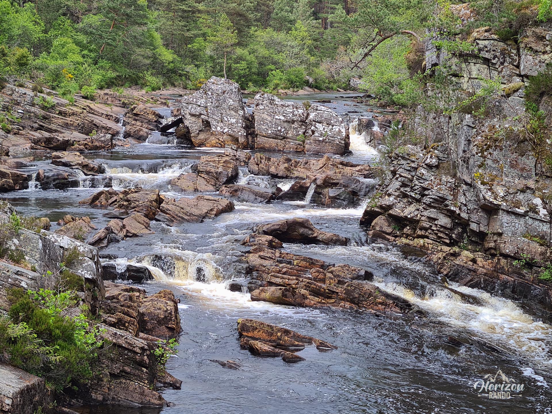
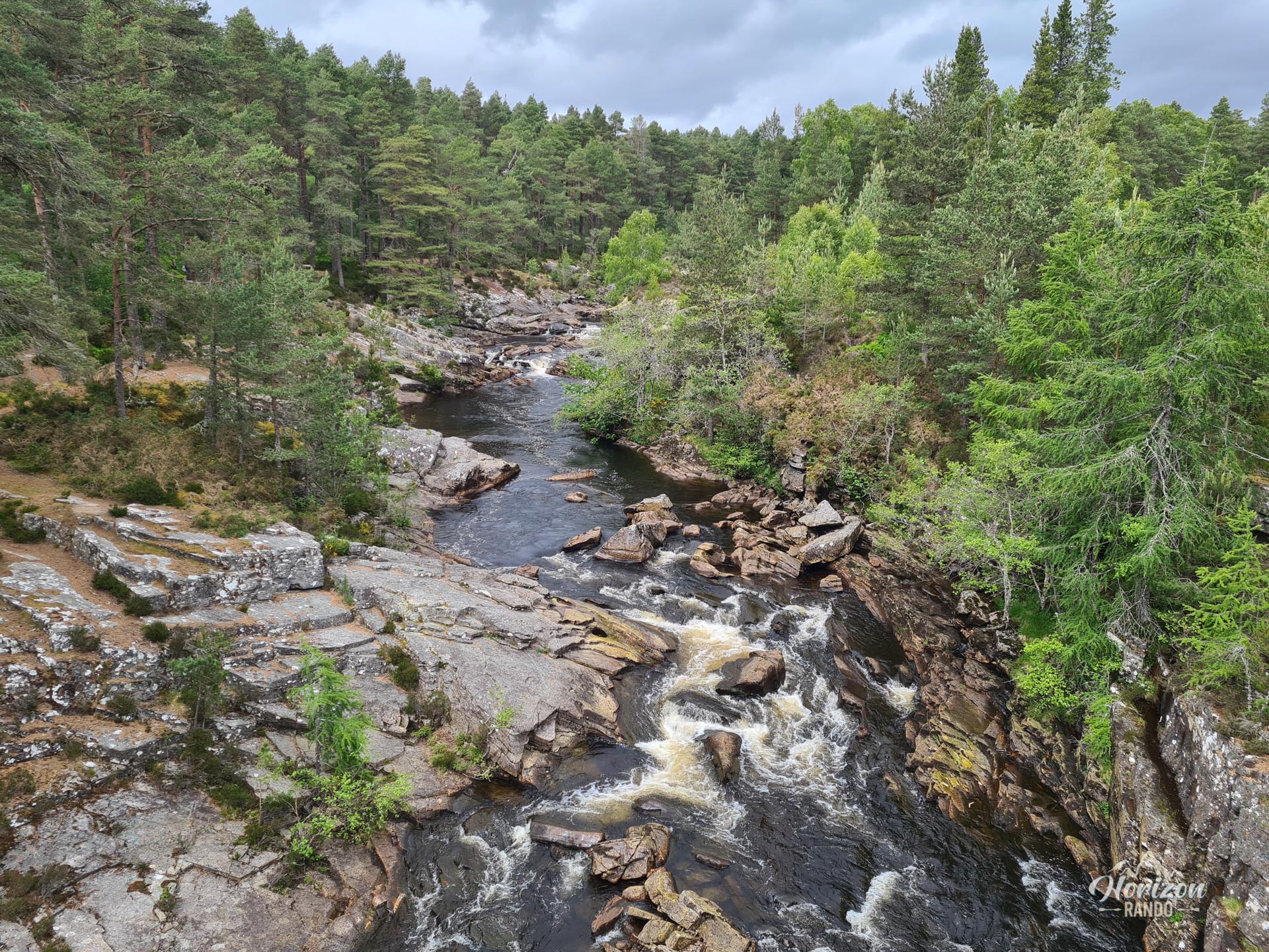
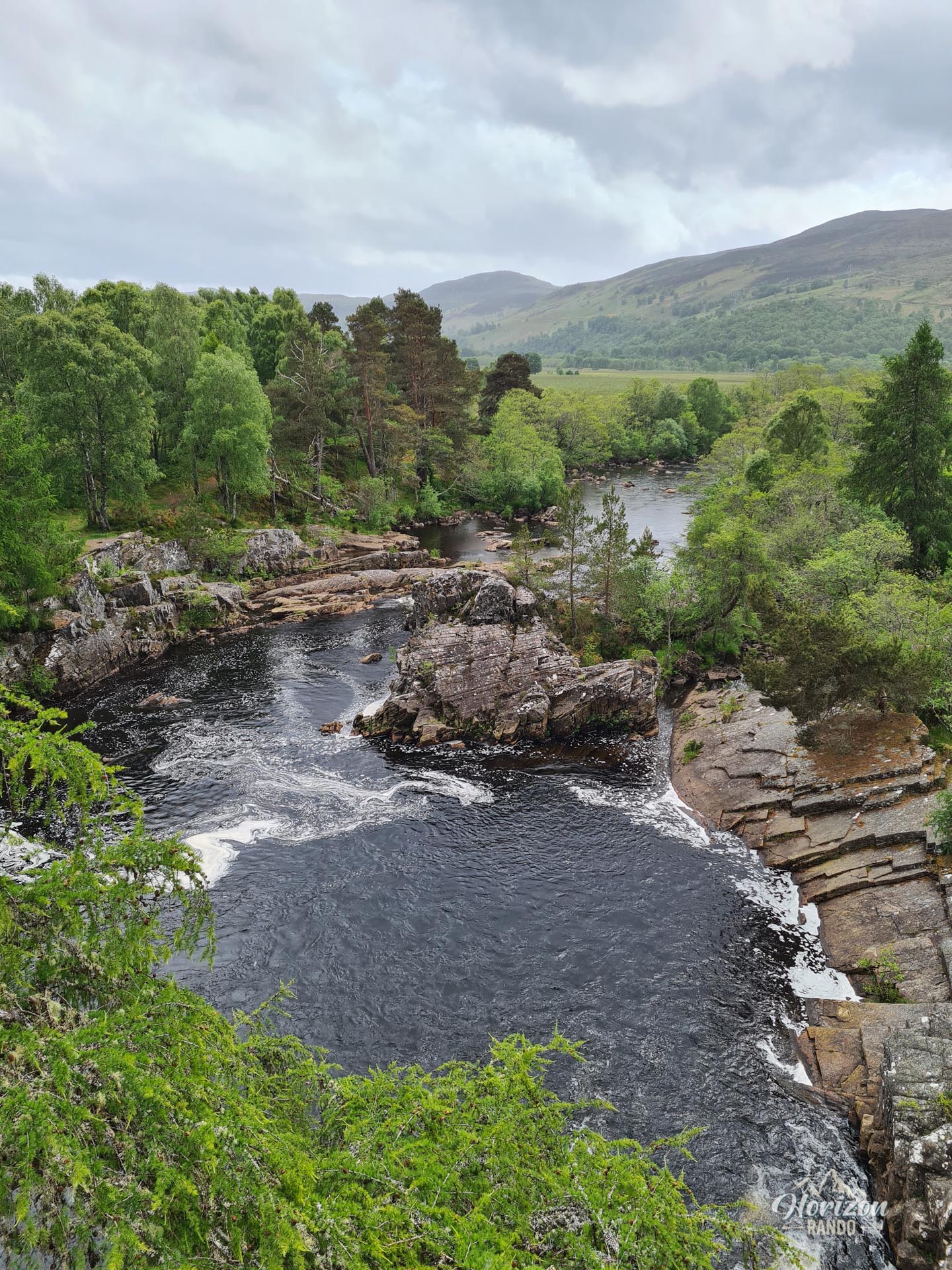
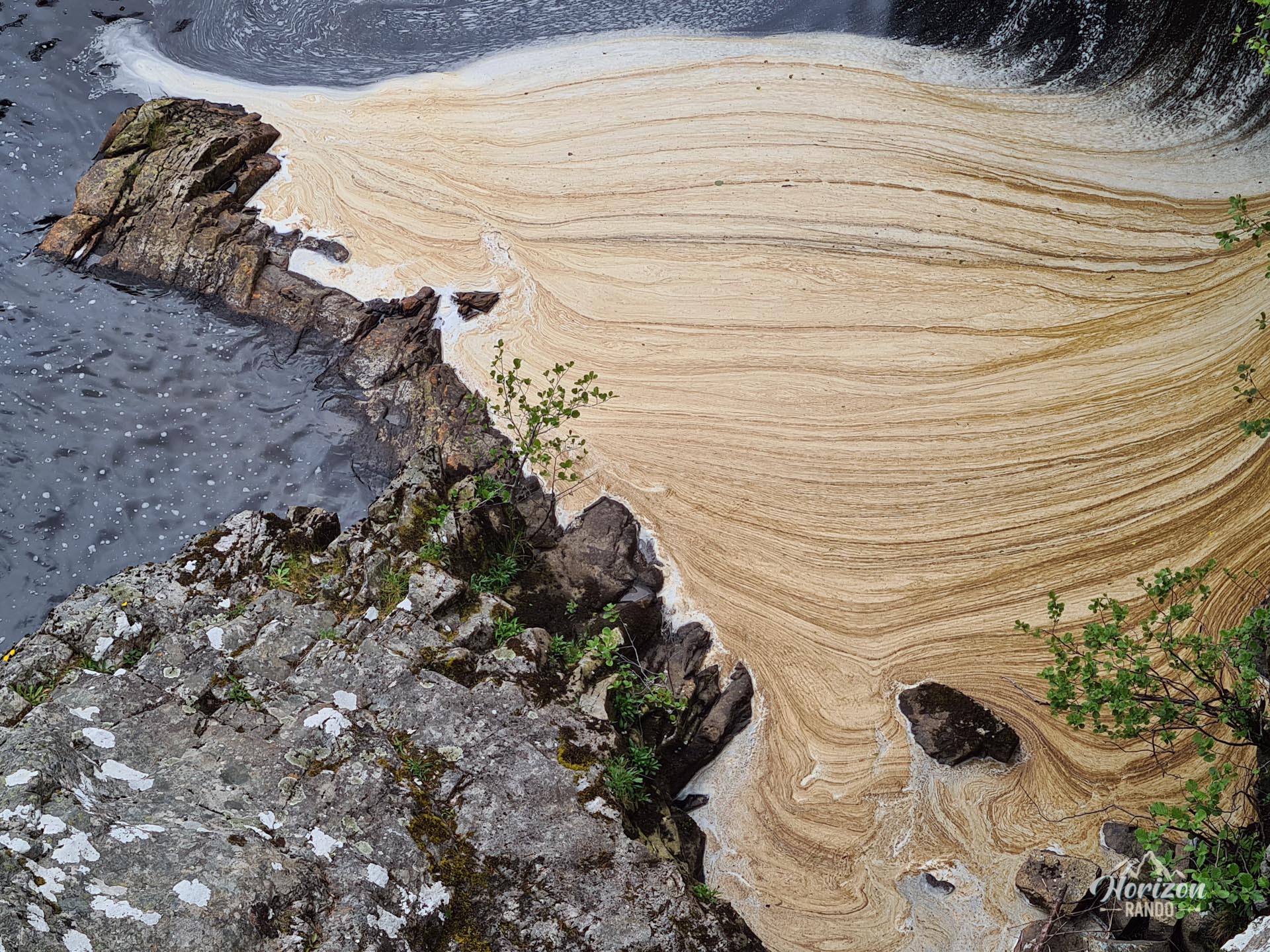
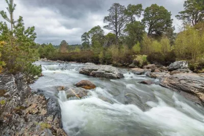
- The constant proximity to the Black Water River and its turbulent waters: you will walk along its banks, admire its spectacular rapids, and discover its pools where trout swim.
Practical information
Parking
There are two free parking lots, one at Silverbridge (with public restrooms) and the other at Little Garve. You can start the loop from either one.
Photos
See all 7 photos →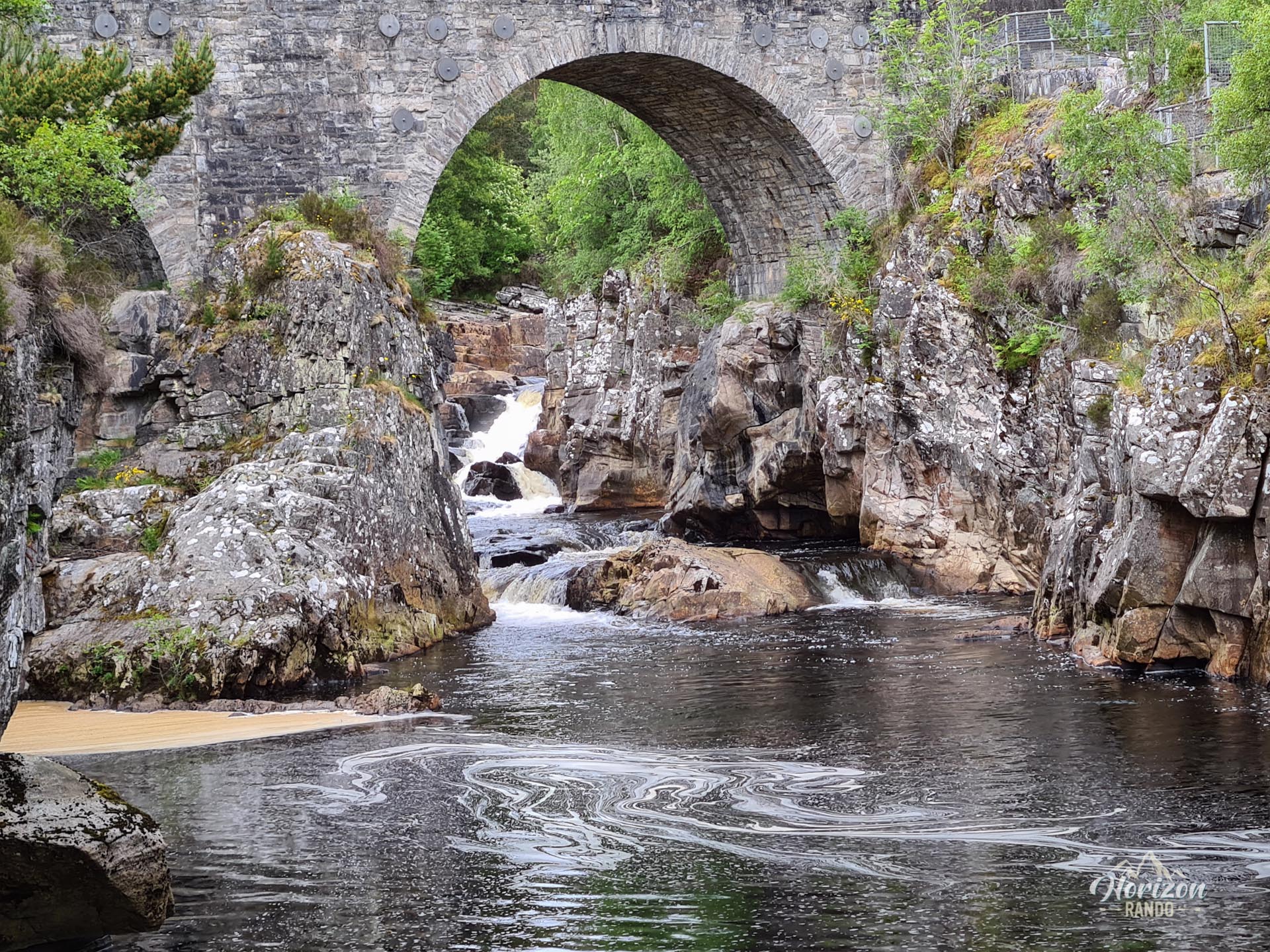
More hikes to do in Scotland
Nearby hikes










Printed from www.horizonrando.fr/en/scotland/silverbridge-circuit/