





Creag Bheag Hike
Key facts about the hike
- Difficulty
- Easy Hikes are rated from very easy to very hard: my difficulty scale
- Duration
- 2h Estimated time, short breaks included (photos, water, snacks), picnic not included: how it is calculated
- Distance
- 5.3km
- Elevation gain
- 260m
- Type of route
- Loop
- Maximum altitude
- 487 m
- Vertiginous Five levels, depending on how exposed the route is: the levels in detail
- No
- Marked
- Yes
- Popularity
- Low
- Region
- Cairngorms
- Start point
- 57.08079, -4.05498
- Activity
- Hiking
Hike overview
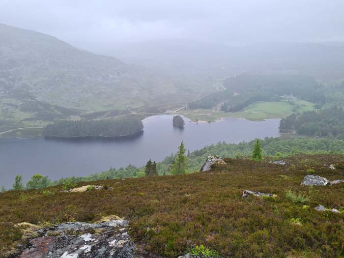
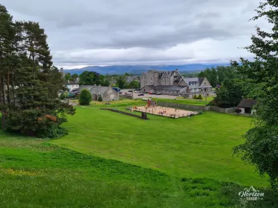
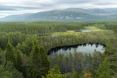
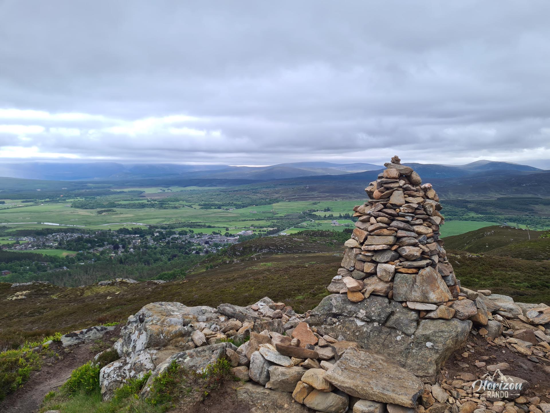
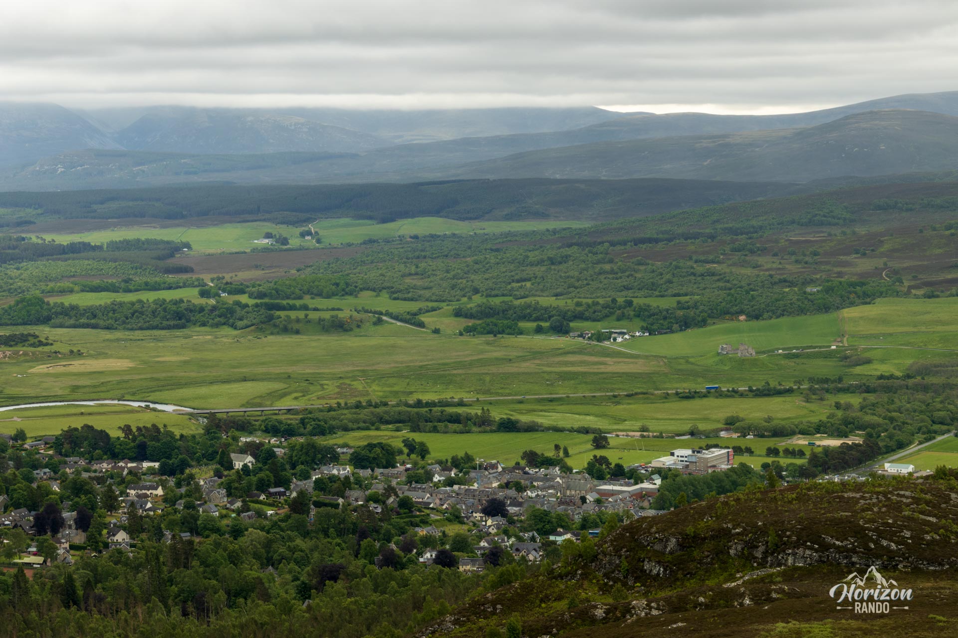
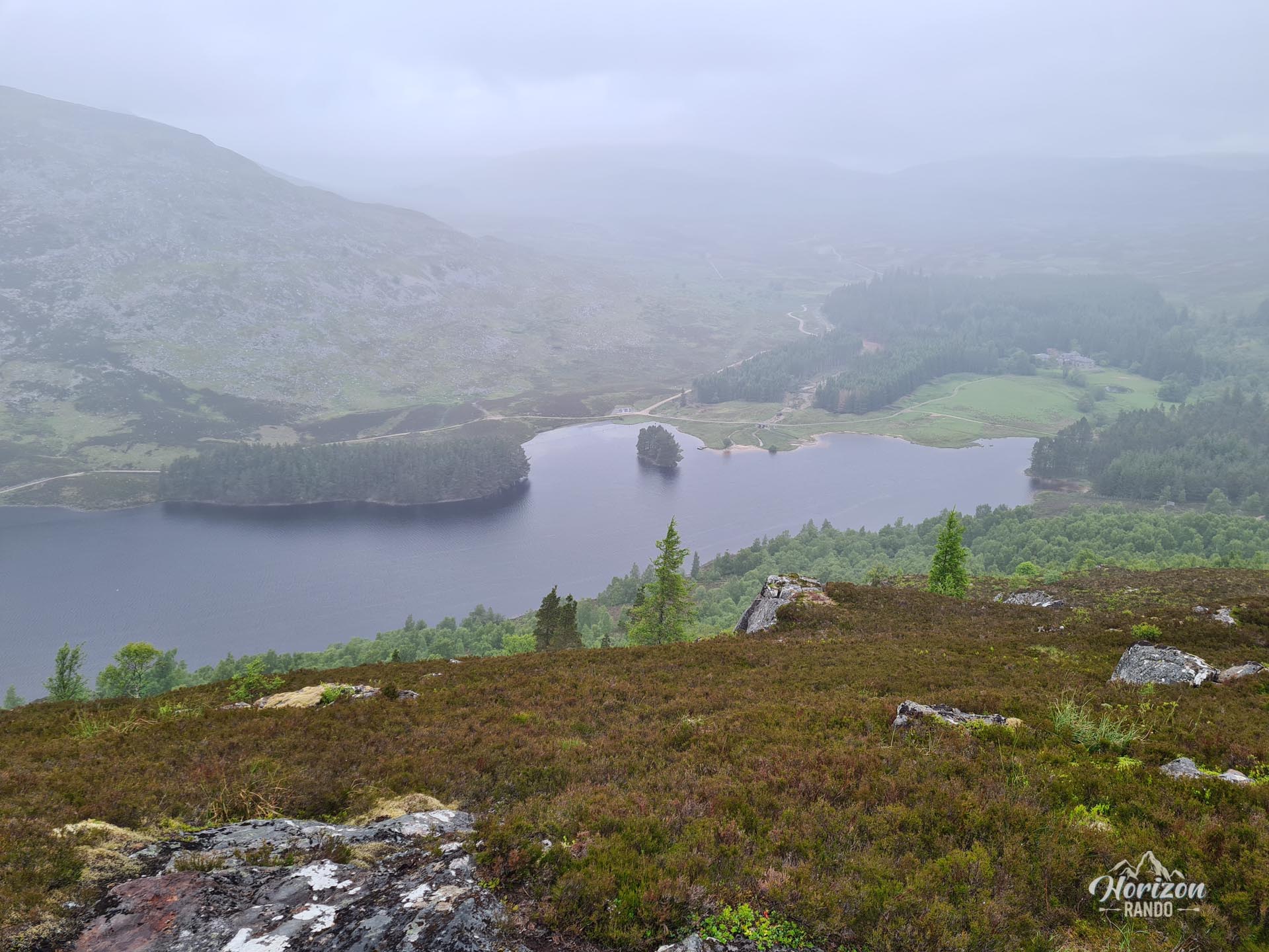
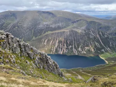
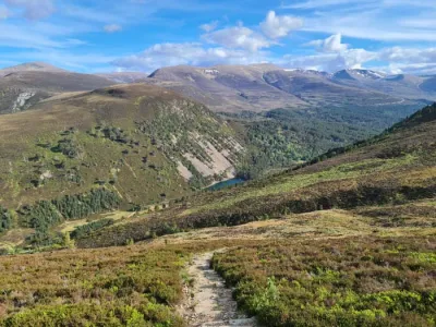
Starting from the picturesque village of Kingussie, the Creag Bheag hike is an excellent option for a half-day outing in the Cairngorms National Park. This modest peak culminating at 487 meters rewards hikers with stunning vistas of the Spey Valley, the Cairngorms Mountains, and the serene Loch Gynack.
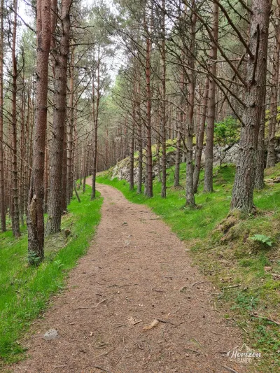
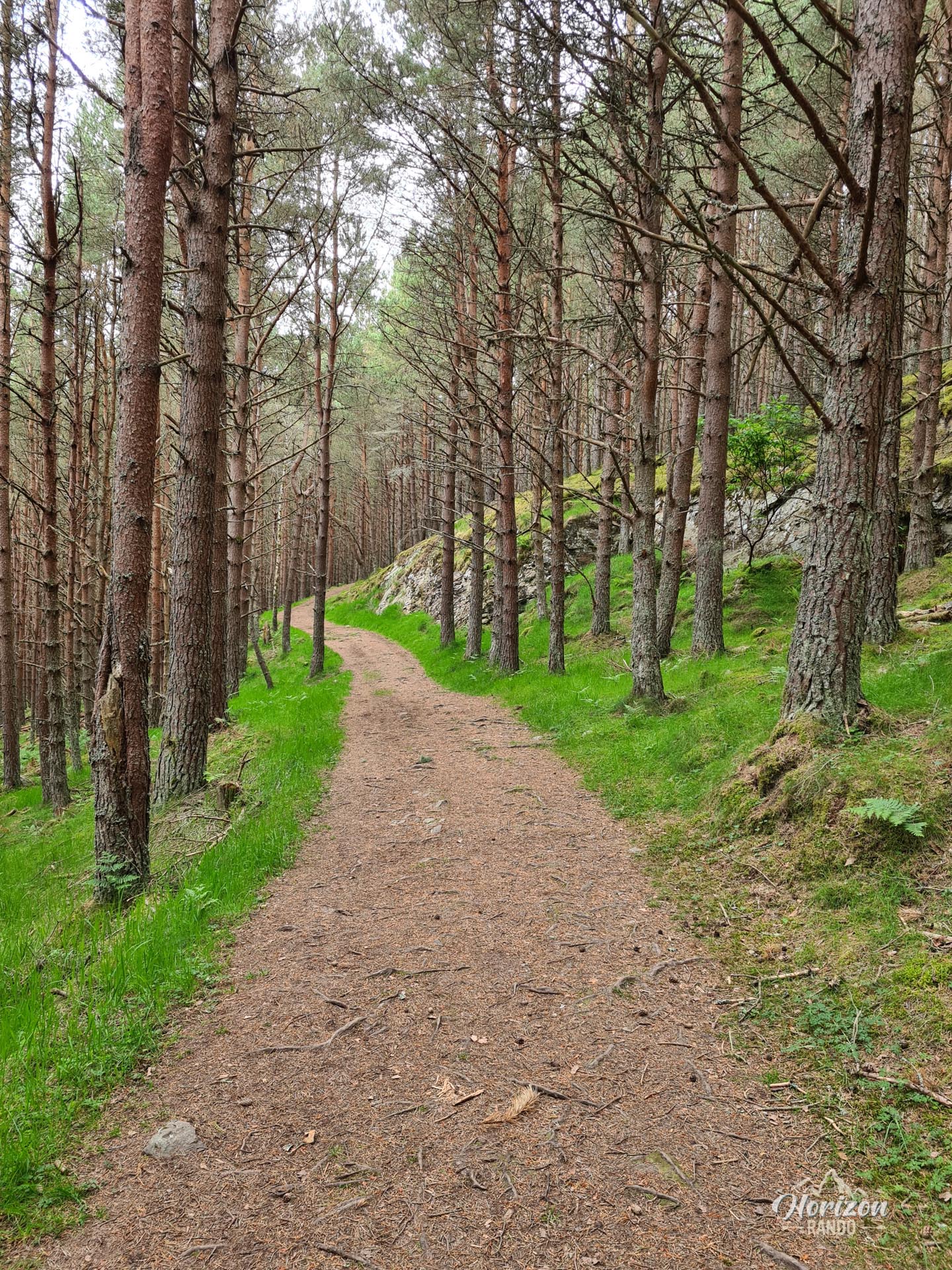
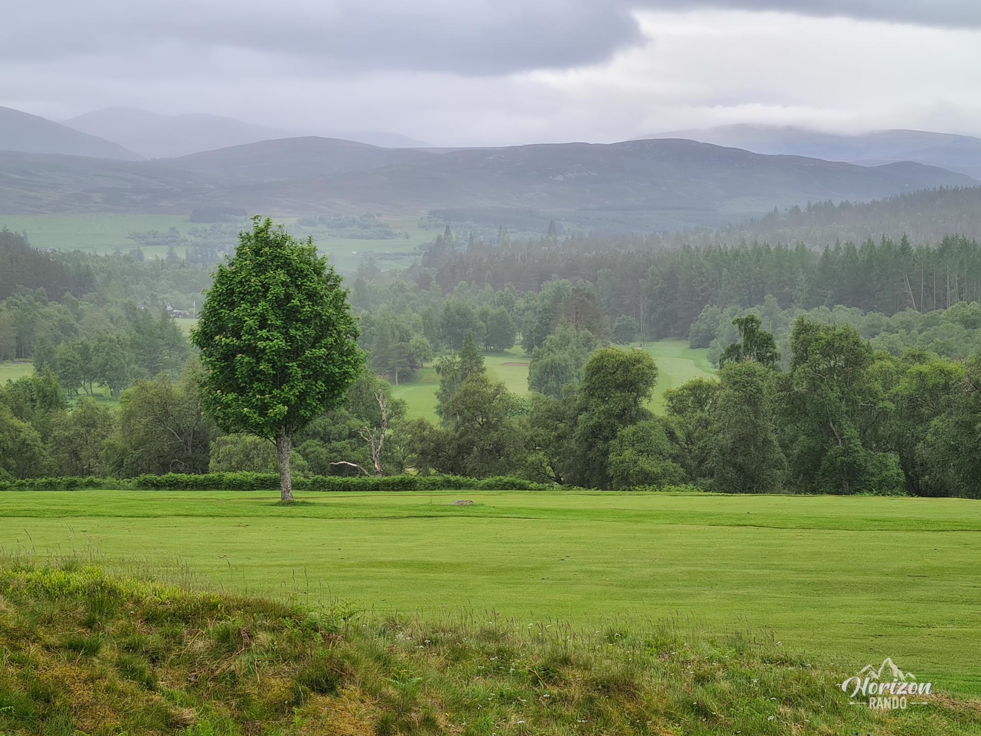
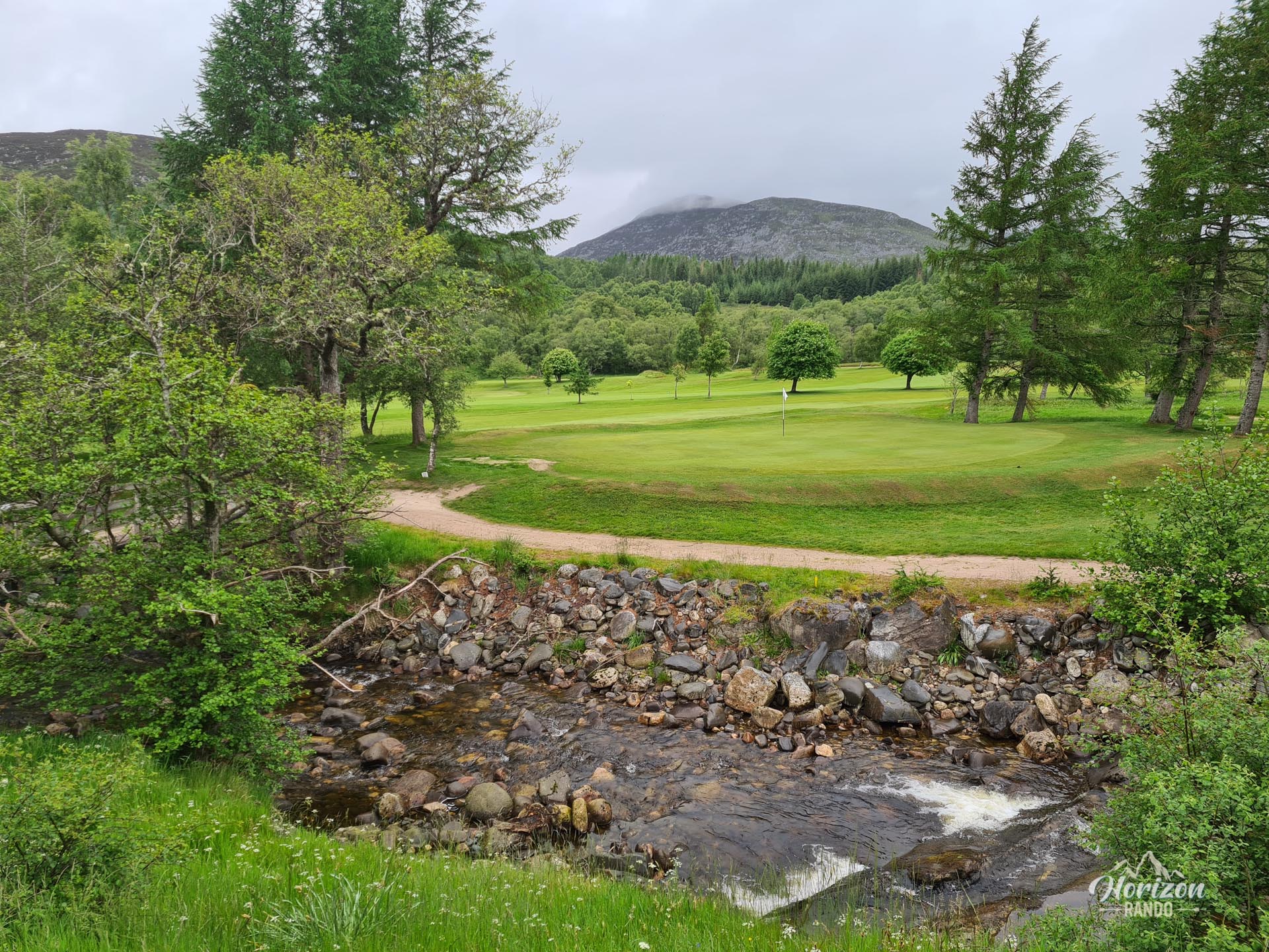
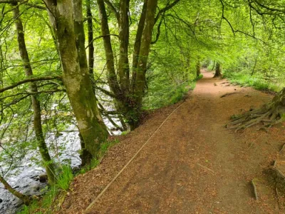
The circular route passes through diverse landscapes: pine forests and heather-covered moorlands, before descending alongside the peaceful Gynack Burn River and crossing the local golf course.
Map and elevation profile of the hike
Creag Bheag Hike
Difficulties of the hike
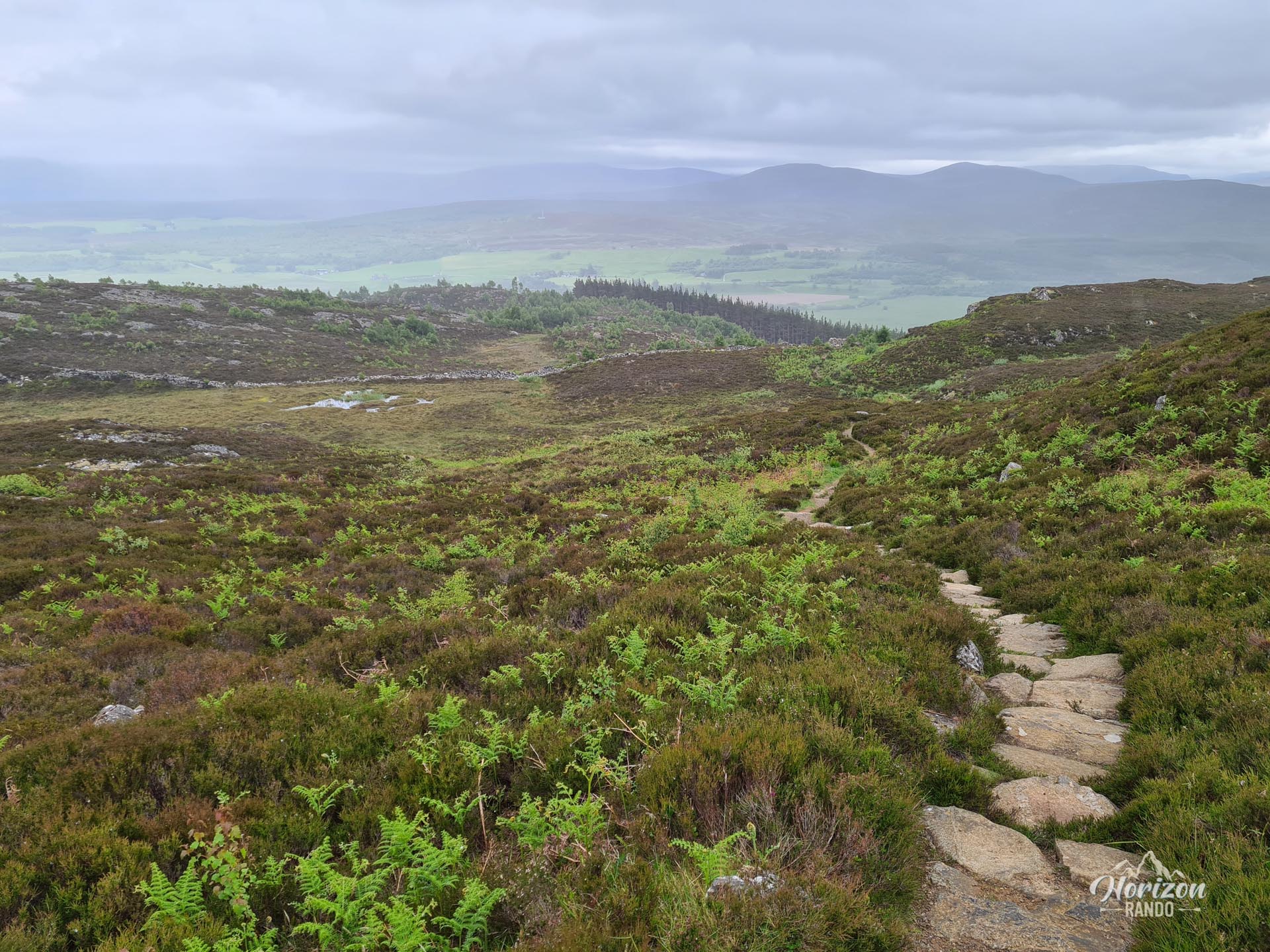
With only 260 meters of elevation gain over five kilometers, this hike is accessible to most people. Furthermore, the well-marked and well-maintained trail presents no technical difficulties.
What you'll love
- The panoramic views from the summit: Enjoy unobstructed, 360-degree views of the Cairngorms and the village of Kingussie.
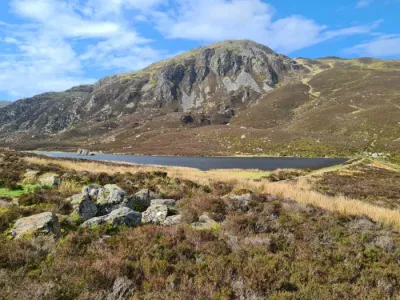
- Loch Gynack: This picturesque lake, located at the foot of Creag Bheag, adds a touch of serenity to the landscape.
- The peaceful atmosphere: Despite its proximity to the village, the trail remains uncrowded.
Practical information
Parking
Free parking is available on Gynack Road in the center of Kingussie.
Route
Several marked trails start from the same parking lot. Information boards suggest different activities.
Photos
See all 8 photos →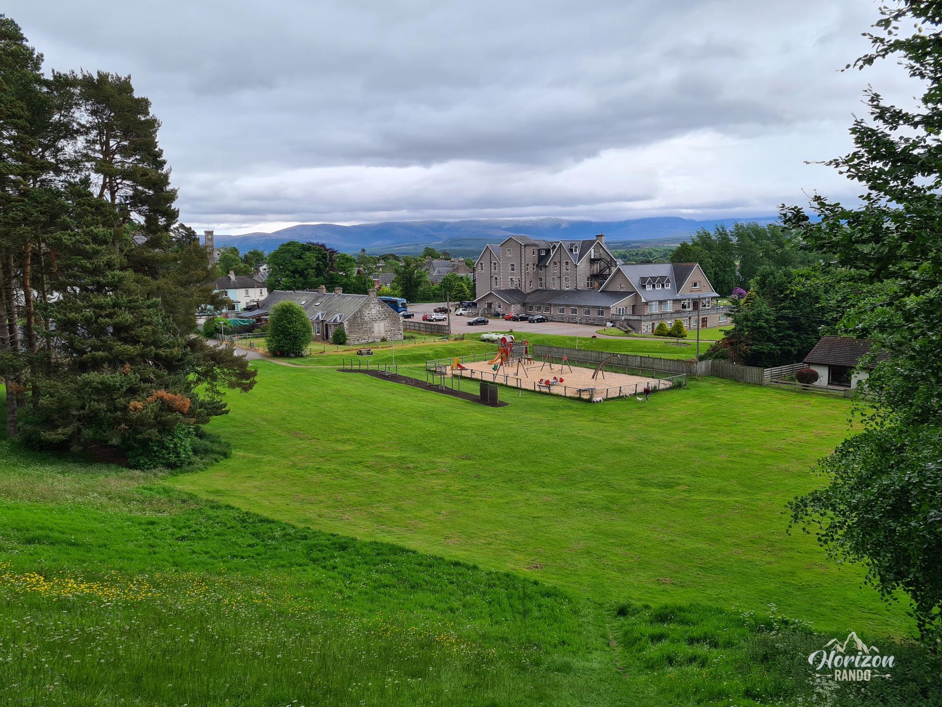
More hikes to do in Scotland
Nearby hikes











Printed from www.horizonrando.fr/en/scotland/creag-bheag/