





Beinn a' Bheithir Hike
Key facts about the hike
- Difficulty
- Hard Hikes are rated from very easy to very hard: my difficulty scale
- Duration
- 8h Estimated time, short breaks included (photos, water, snacks), picnic not included: how it is calculated
- Distance
- 15.7km
- Elevation gain
- 1,310m
- Type of route
- Loop
- Maximum altitude
- 1,024 m
- Vertiginous Five levels, depending on how exposed the route is: the levels in detail
- Moderately
- Marked
- No
- Popularity
- Moderate
- Region
- Glencoe
- Start point
- 56.67819, -5.12934
- Activity
- Hiking
Hike overview
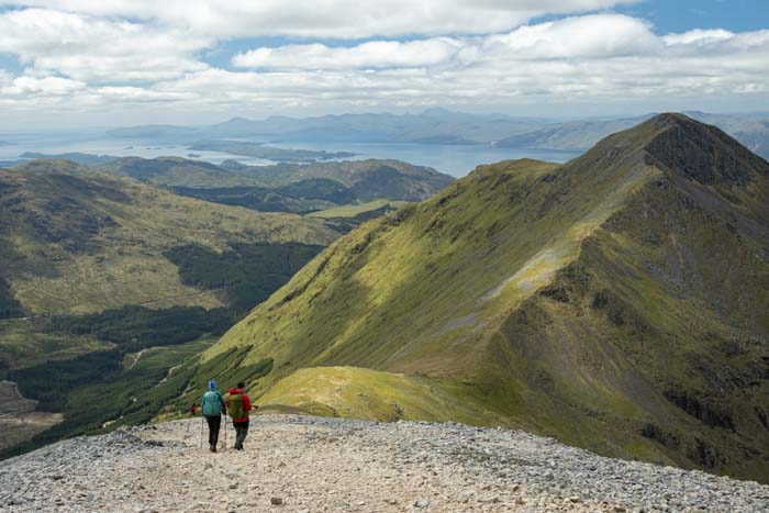
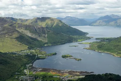
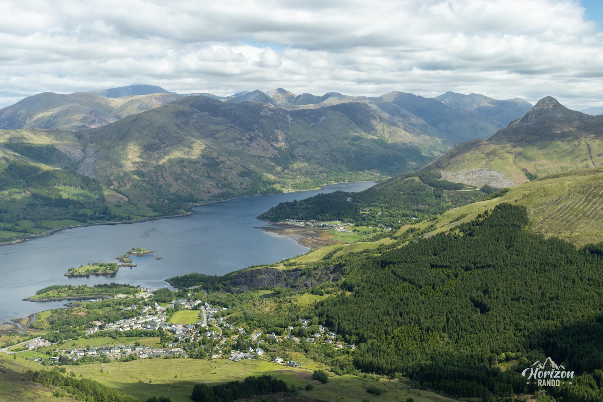
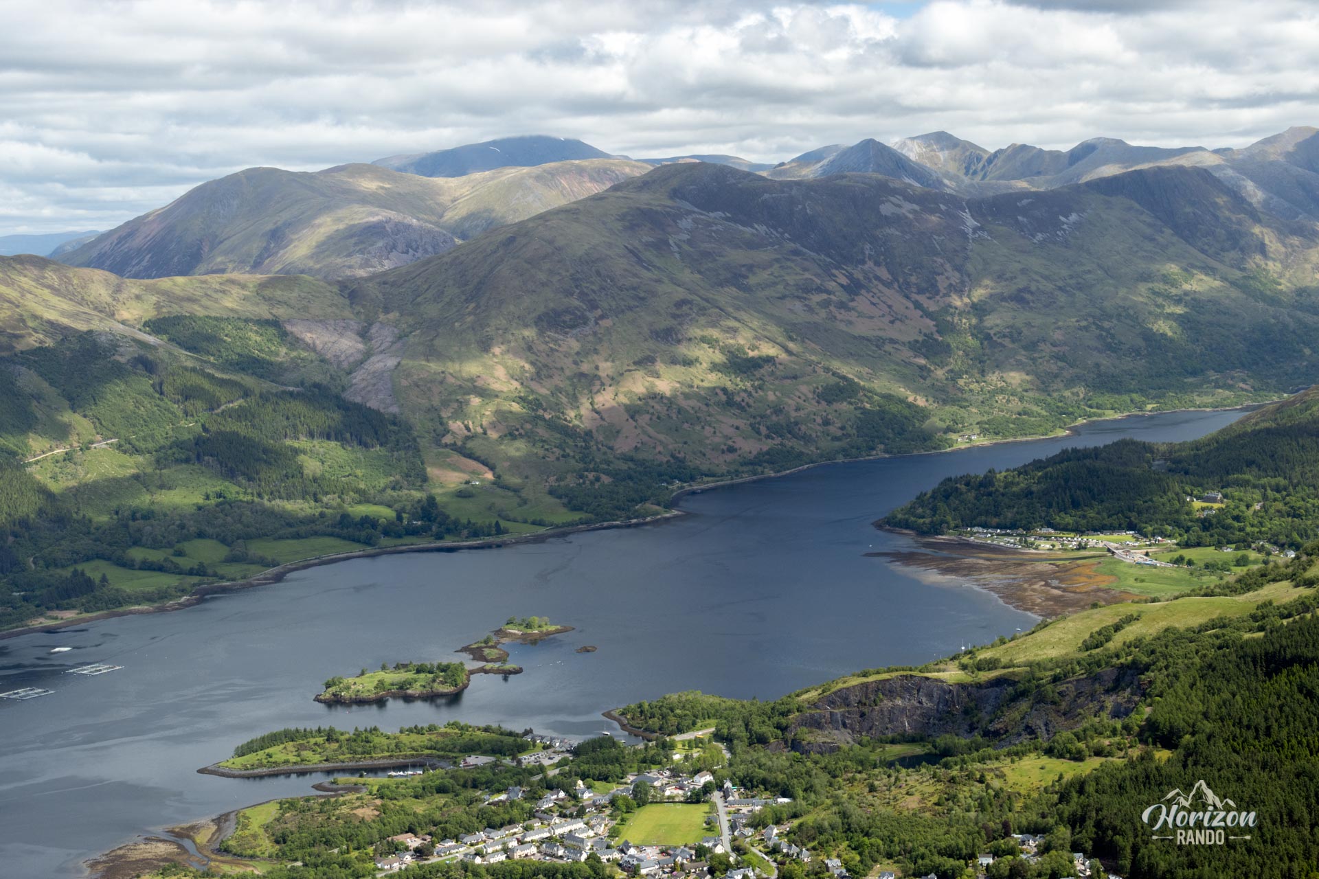
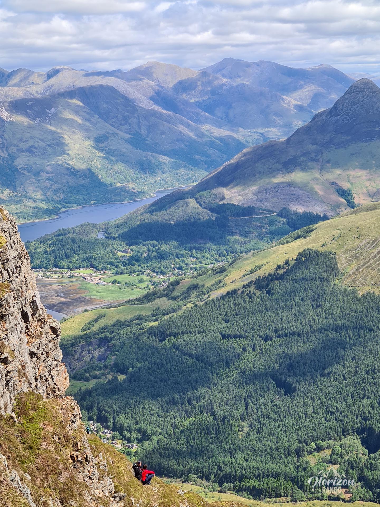
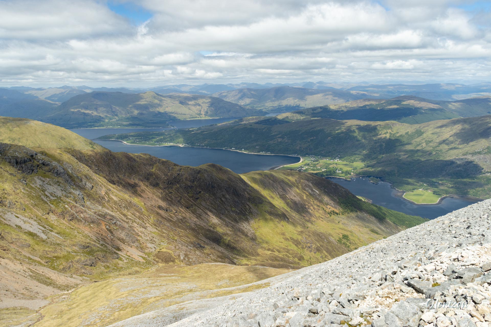
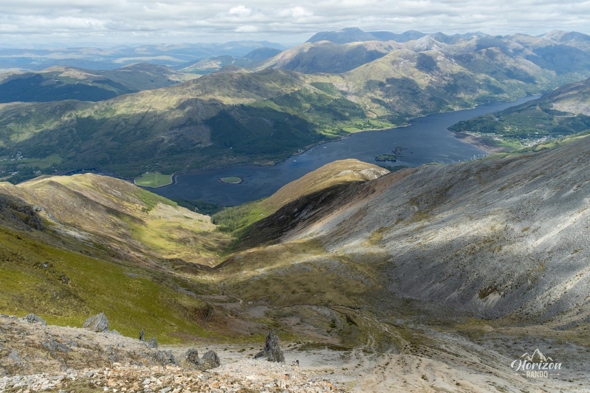
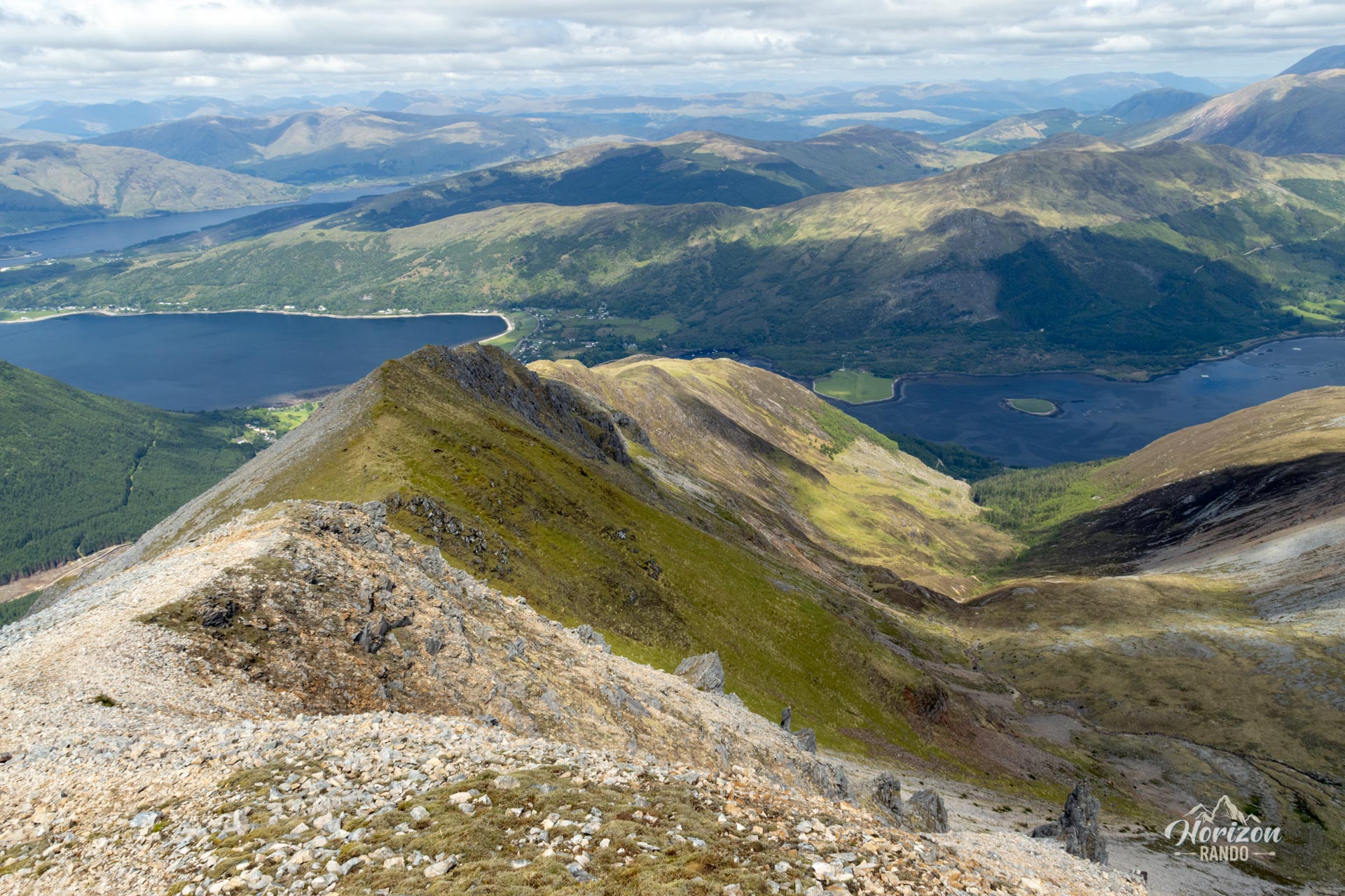
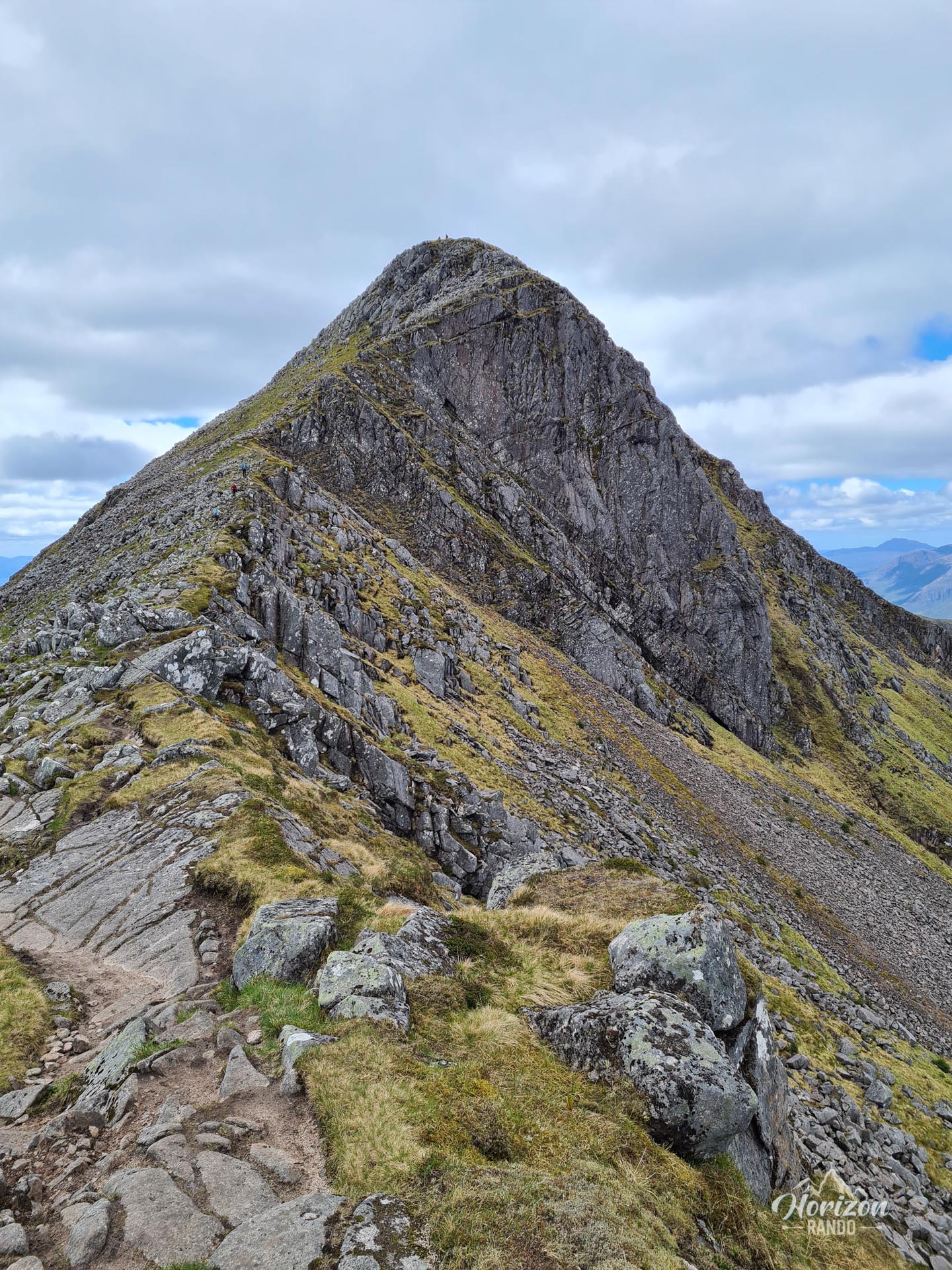
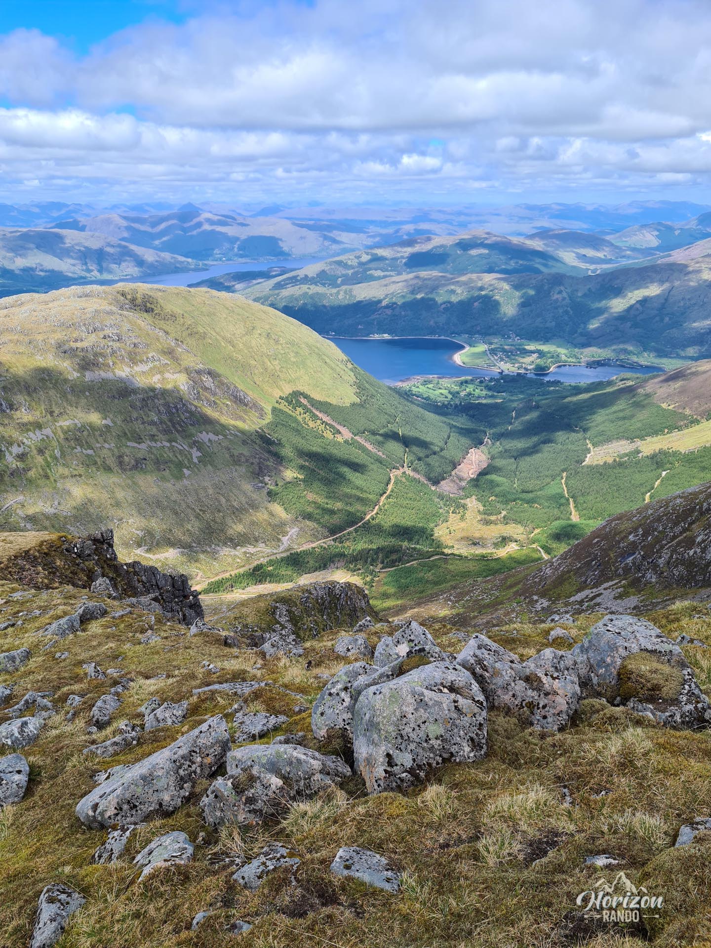
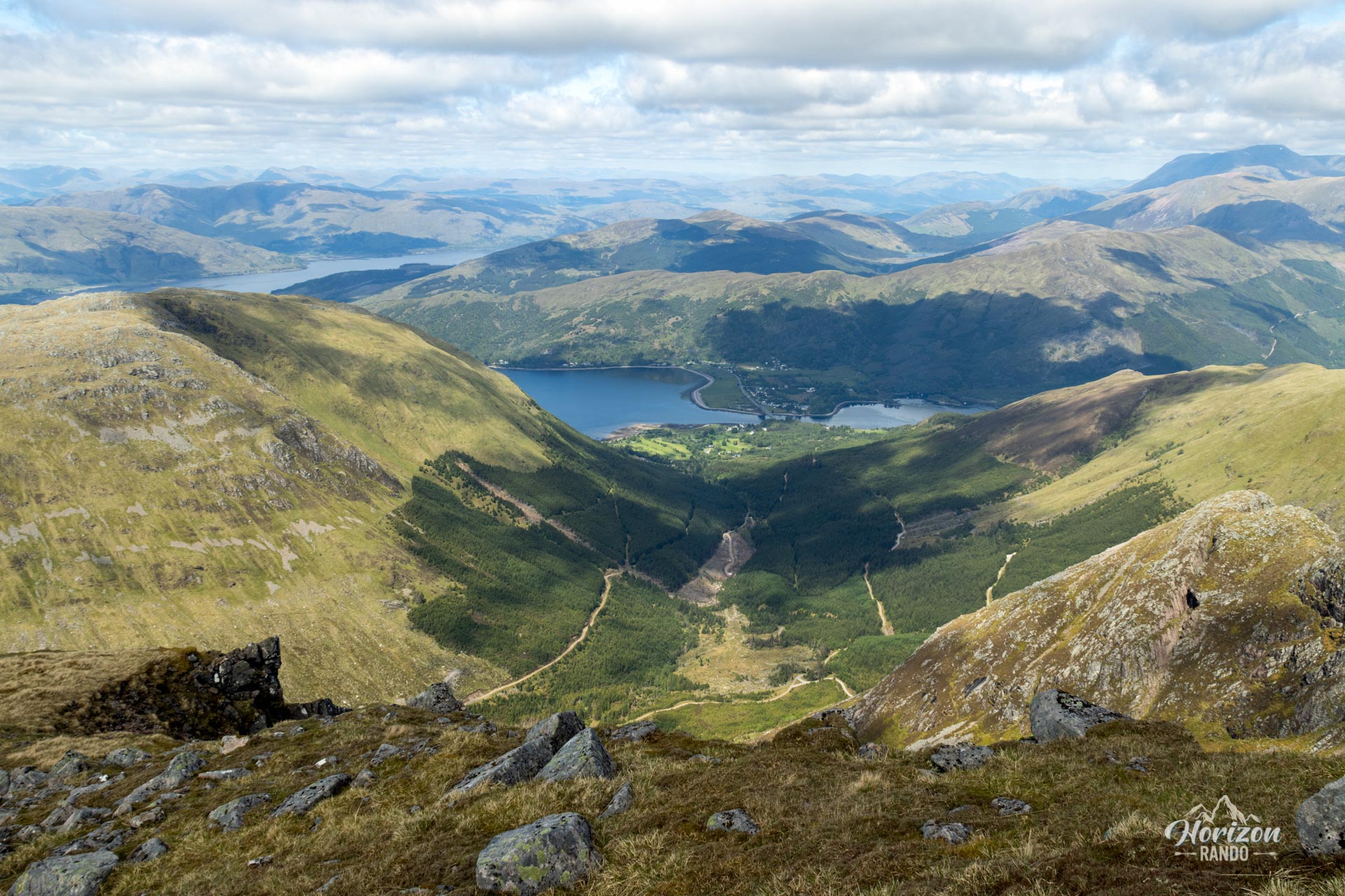
The Beinn a' Bheithir hike, meaning "mountain of the beast" or "mountain of thunder" in Gaelic, is a spectacular ridge walk with views of Loch Leven and the village of Ballachulish. This route takes you up two Munros (peaks over 3,000 feet, or approximately 914 m): Sgorr Dhearg (1,024 m) and Sgorr Dhonuill (1,001 m). The hike reveals exceptional panoramic views of the surrounding peaks, including Ben Nevis, as well as Loch Leven and Loch Linnhe.
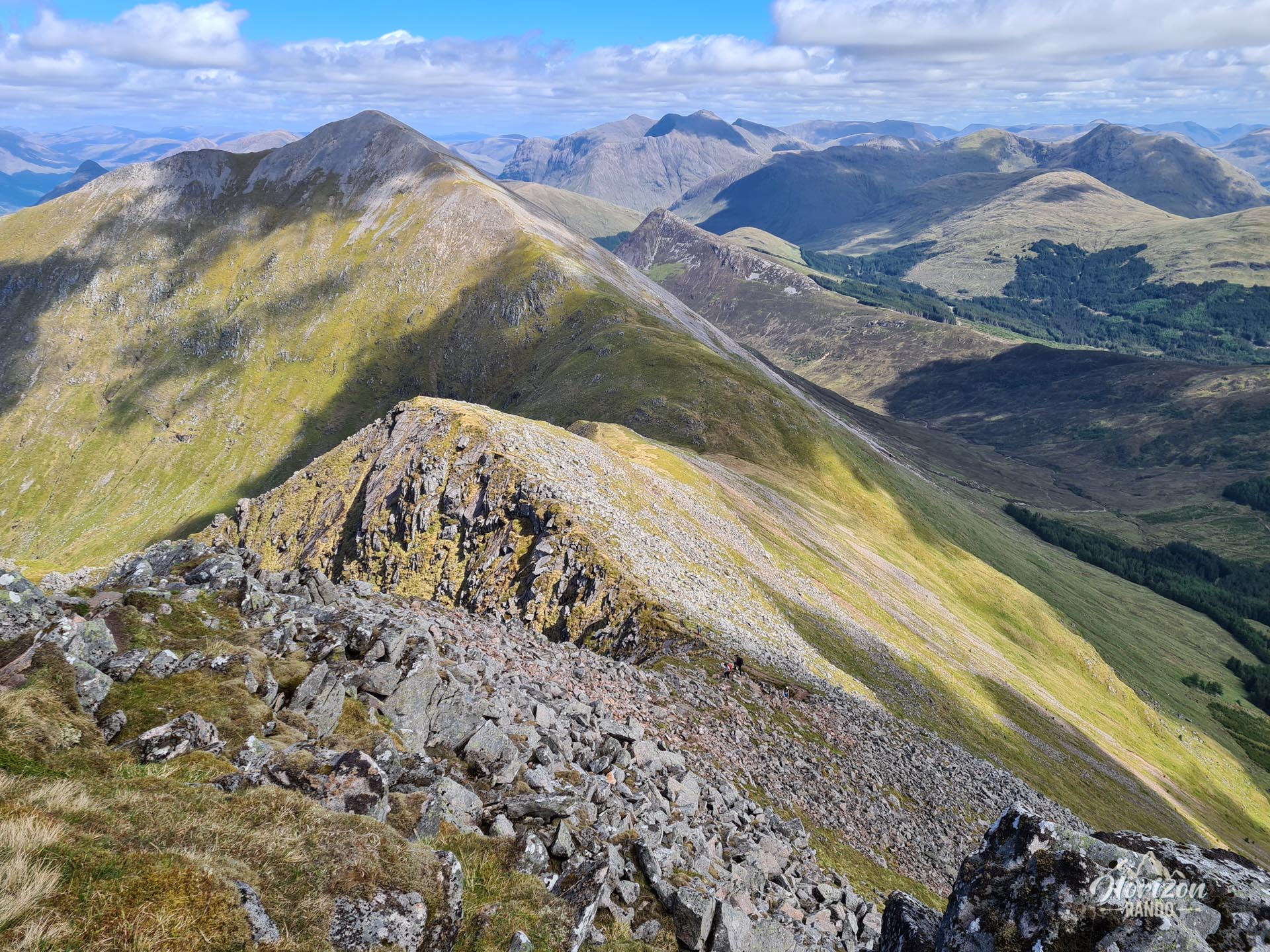
The hike offers a well-rounded experience with a forest walk, a rocky ridge traverse, and some easy climbing sections.
Map and elevation profile of the hike
Beinn a' Bheithir Hike
Difficulties of the hike
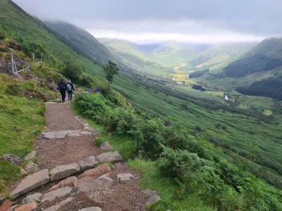
The route is physically demanding, with a significant elevation gain of 1,310 meters and a distance of over 15 kilometers. Most of the difficulty is concentrated at the beginning: the initial ascent from Ballachulish to Sgorr Bhan climbs about 900 meters in less than three kilometers, with a sustained gradient. This climb includes an easy scramble over a series of slightly exposed rock steps.
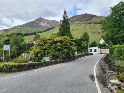
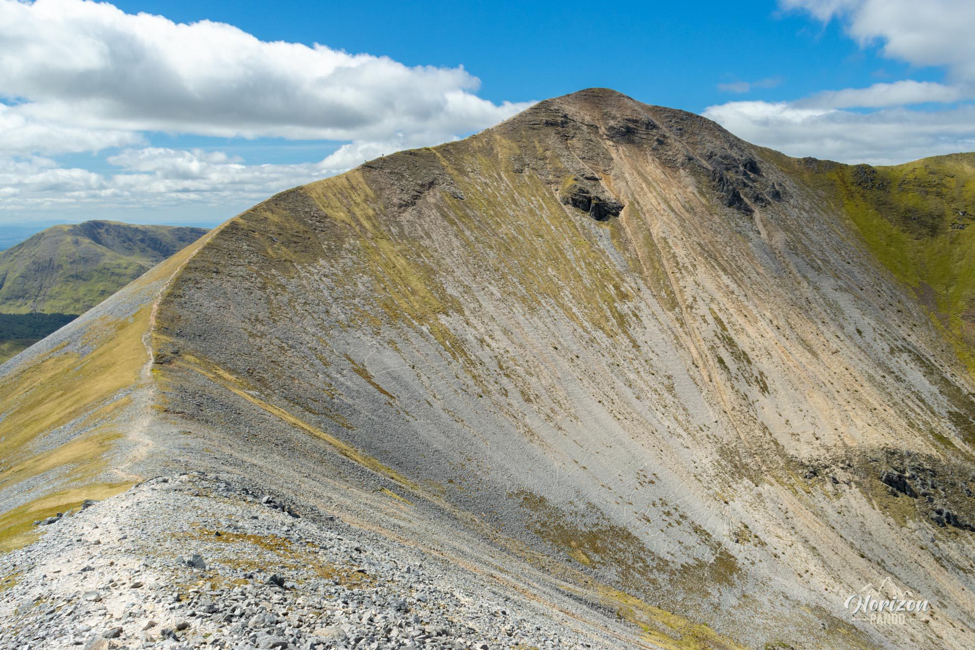
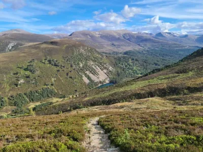
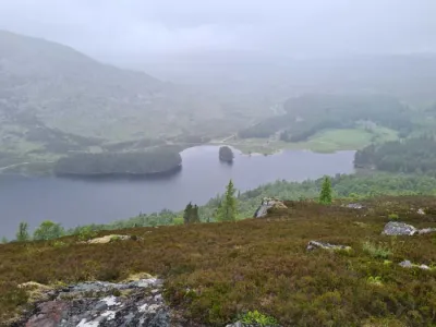
Beyond Sgorr Bhan, the route continues along the ridge over rocky terrain without any significant difficulty except for some steep slopes before reaching the final summit, Sgorr Dhonuill. The descent to Ballachulish is very boggy, especially in the wooded section. The last two kilometers are along the road, which is less exciting after the intense ridge walk.
What you'll love
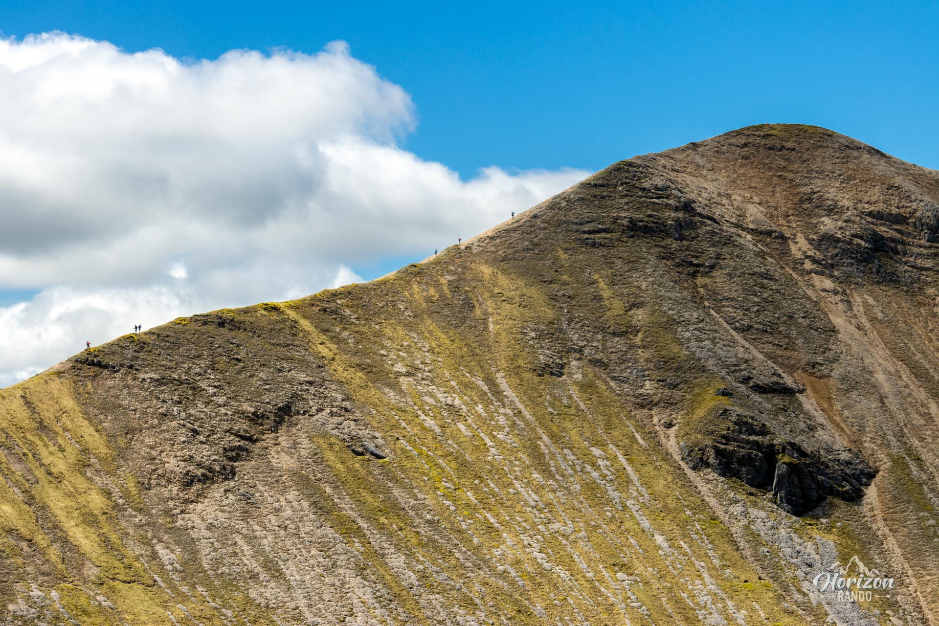
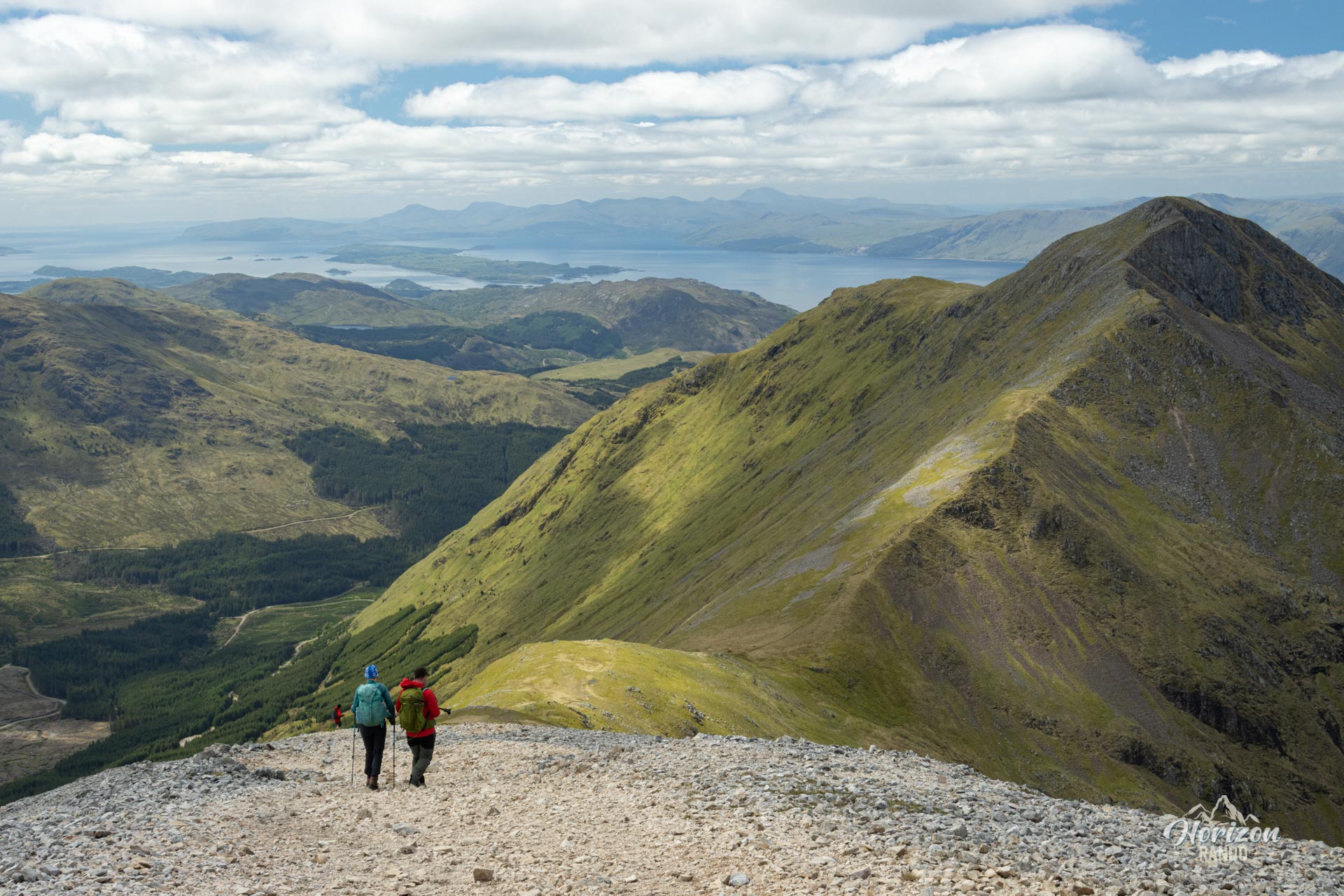
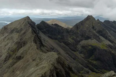
- A magnificent ridge walk: Hiking along the ridge between Sgorr Bhan and Sgorr Dhonuill is an unforgettable experience, with spectacular views on both sides.
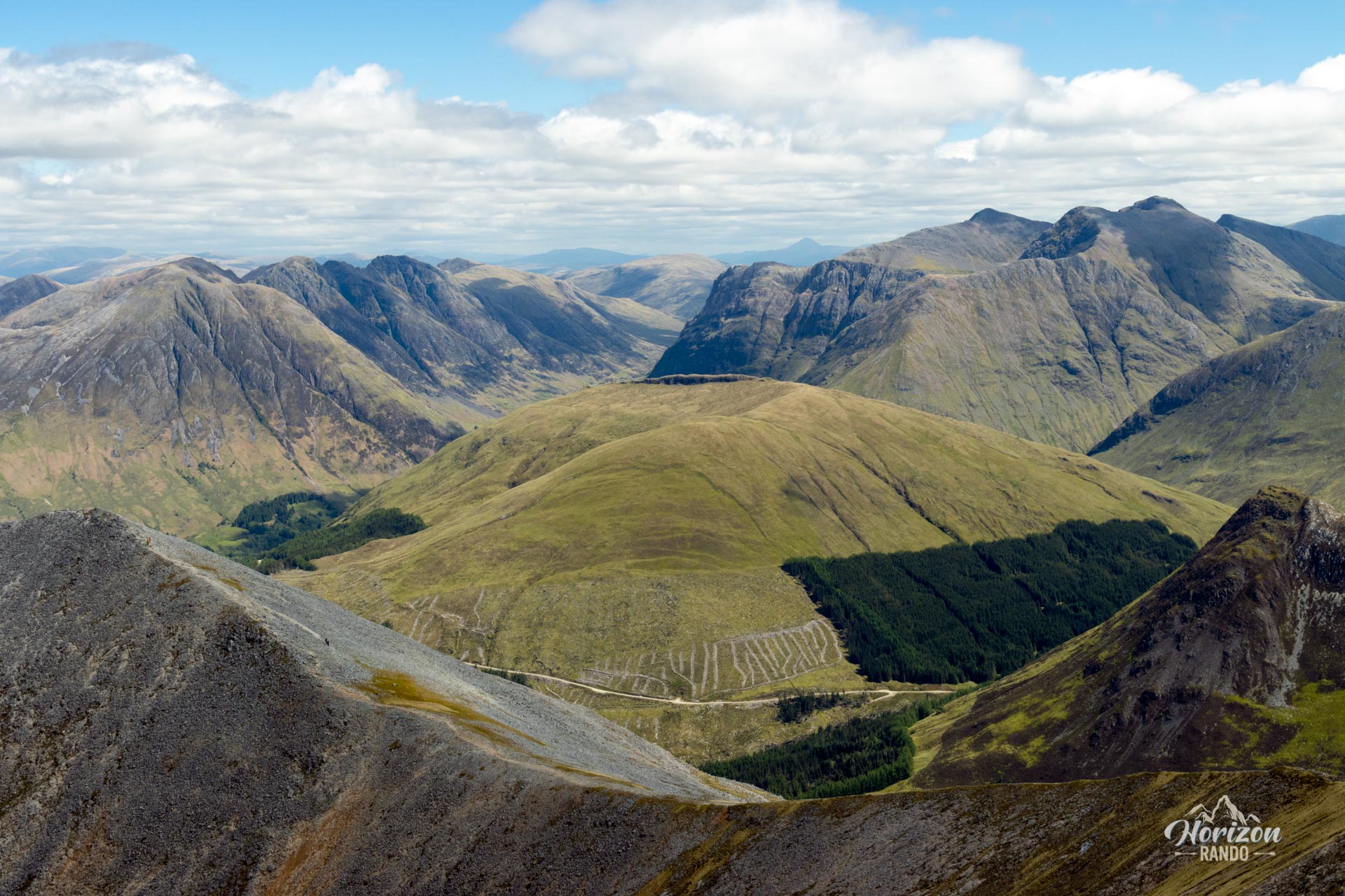
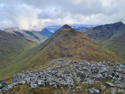
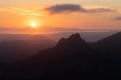
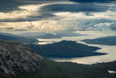
- Magnificent 360-degree panoramas: From the summits, you can admire Ben Nevis to the north, Loch Leven below, the Glen Coe valley to the east, and Loch Linnhe stretching towards the Isle of Mull to the west.
- The sense of achievement that comes with climbing two Munros in a single outing.
Photos
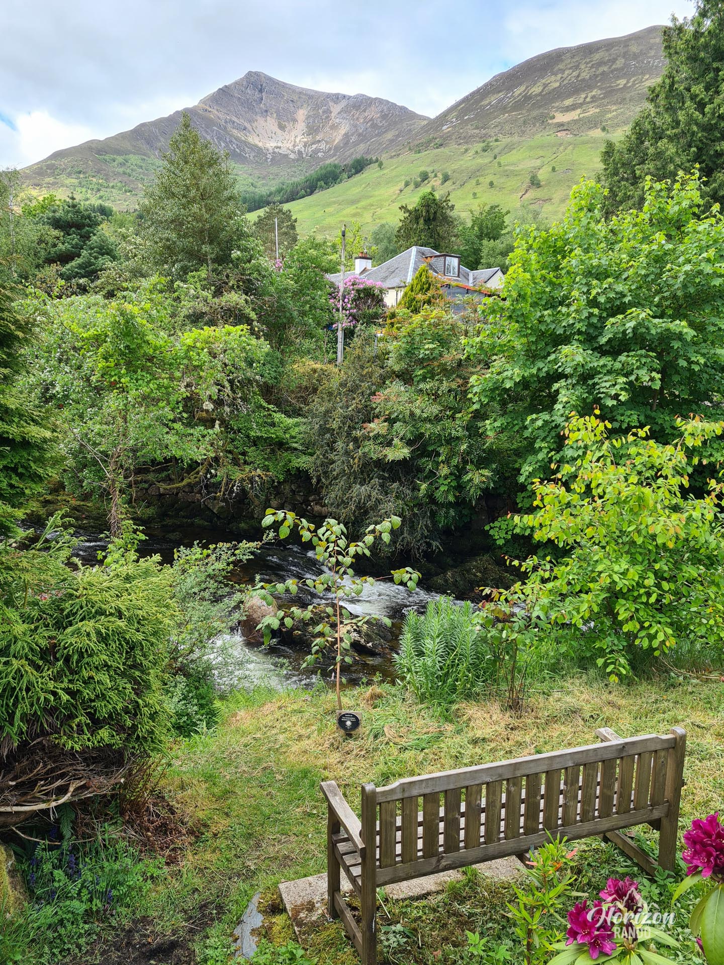
See all 16 photos →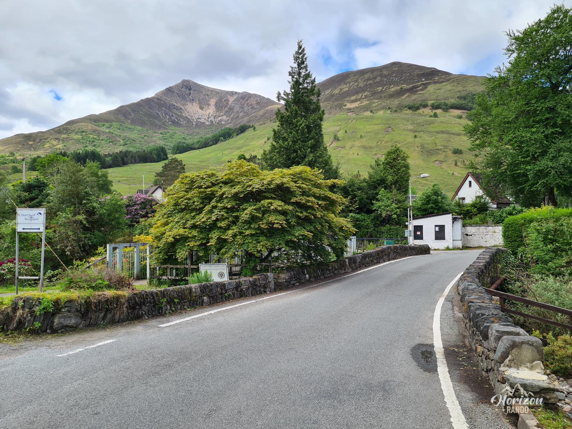
More hikes to do in Scotland
Nearby hikes











Printed from www.horizonrando.fr/en/scotland/beinn-a-bheithir/