






Beinn Alligin Hike
Key facts about the hike
- Difficulty
- Very hard Hikes are rated from very easy to very hard: my difficulty scale
- Duration
- 7h Estimated time, short breaks included (photos, water, snacks), picnic not included: how it is calculated
- Distance
- 11.1km
- Elevation gain
- 1,250m
- Type of route
- Loop
- Maximum altitude
- 986 m
- Vertiginous Five levels, depending on how exposed the route is: the levels in detail
- Highly
- Marked
- No
- Popularity
- Low
- Region
- Torridon
- Start point
- 57.55836, -5.56420
- Activity
- Hiking
Hike overview
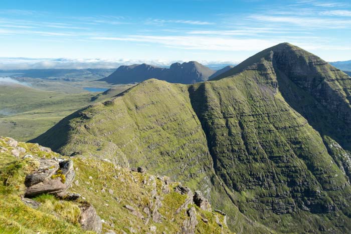
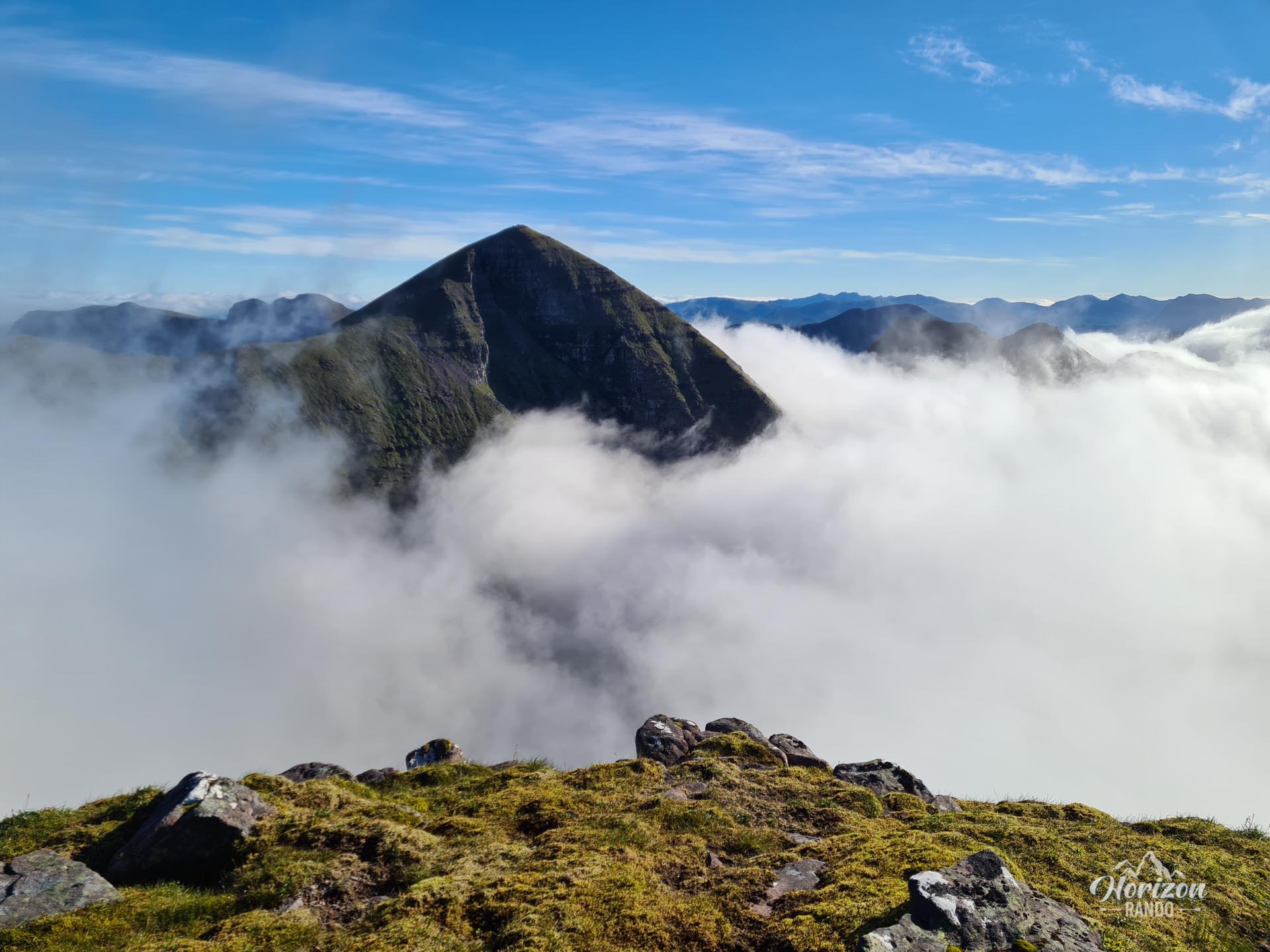
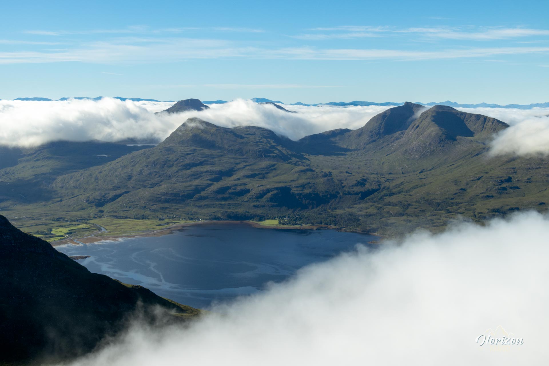
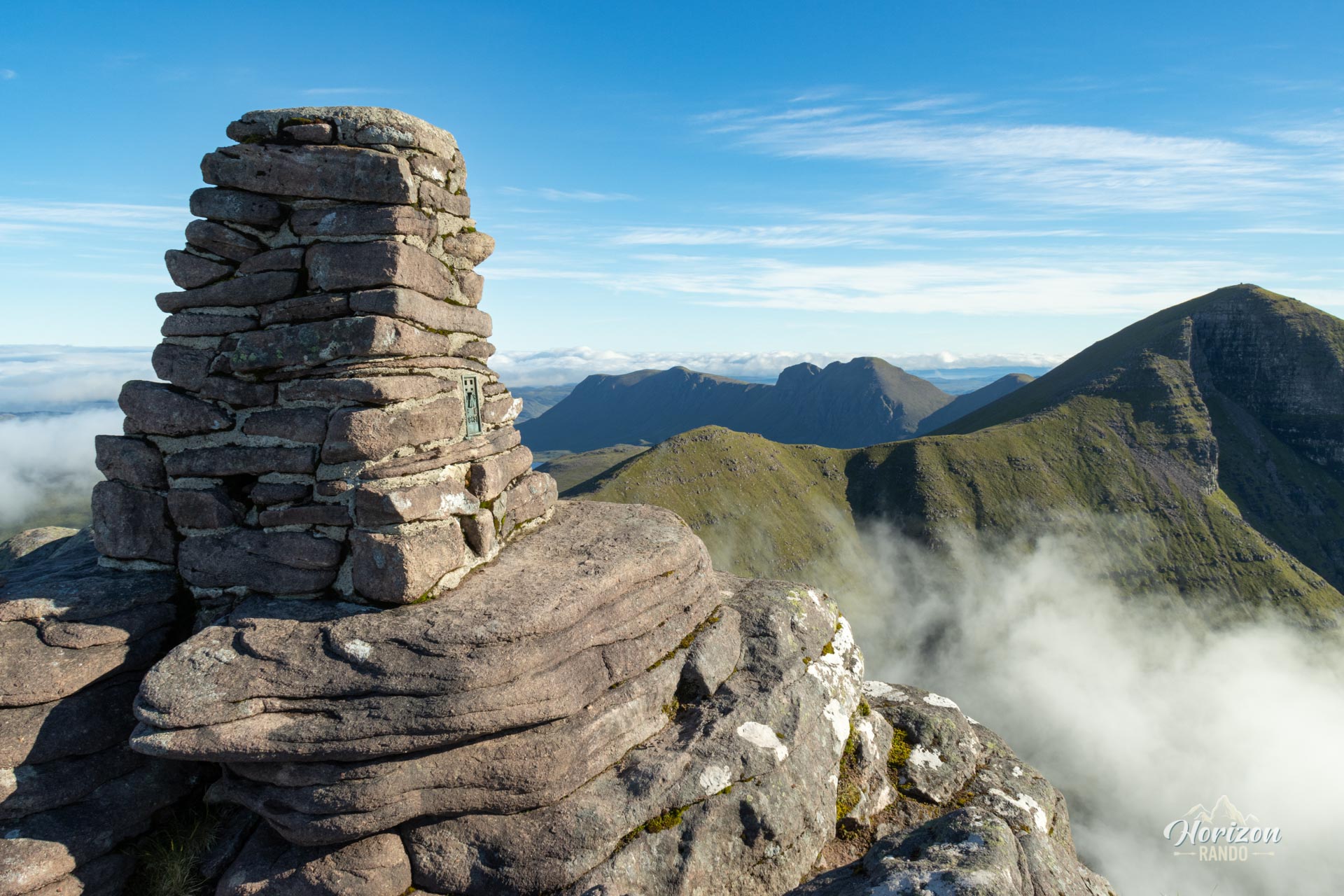
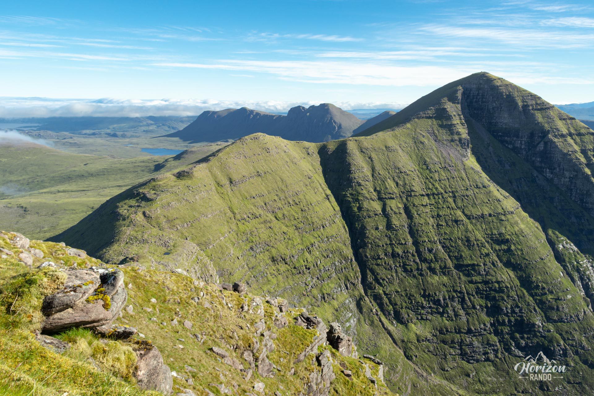
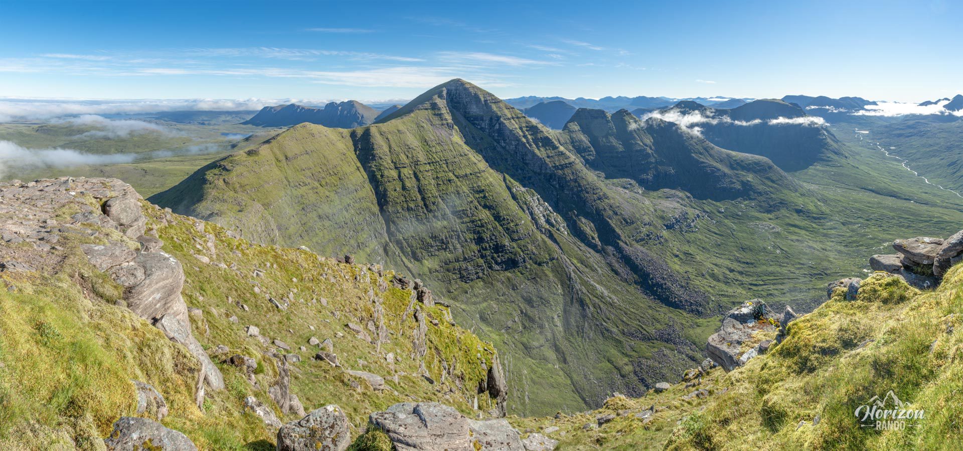
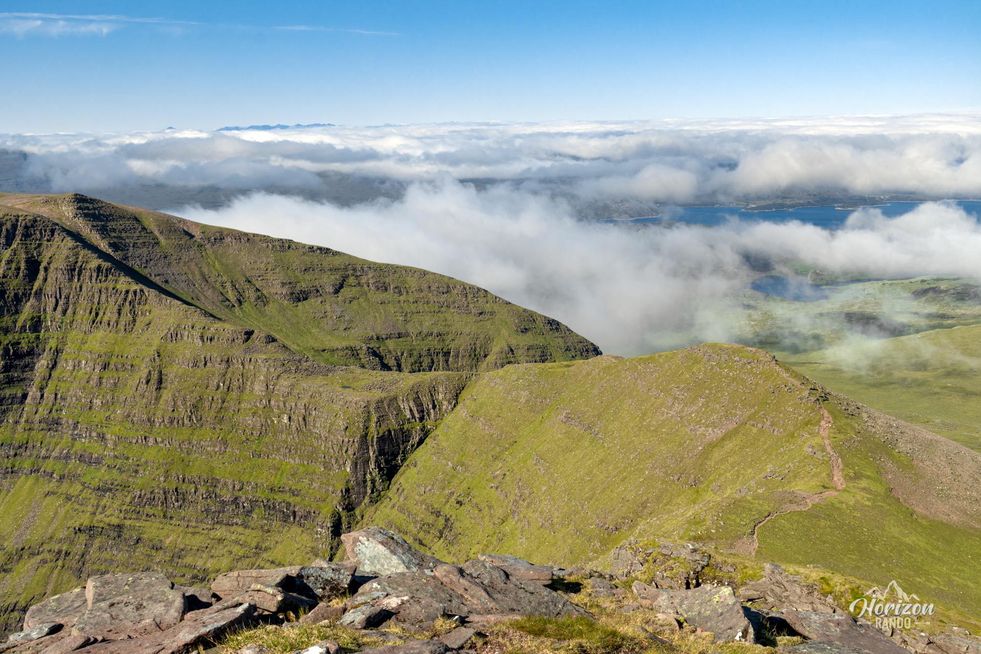
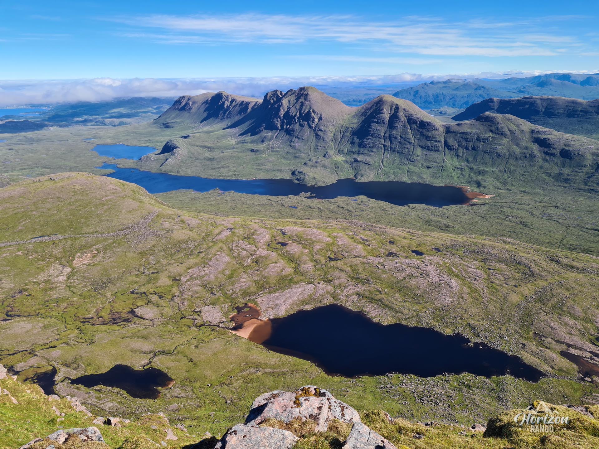
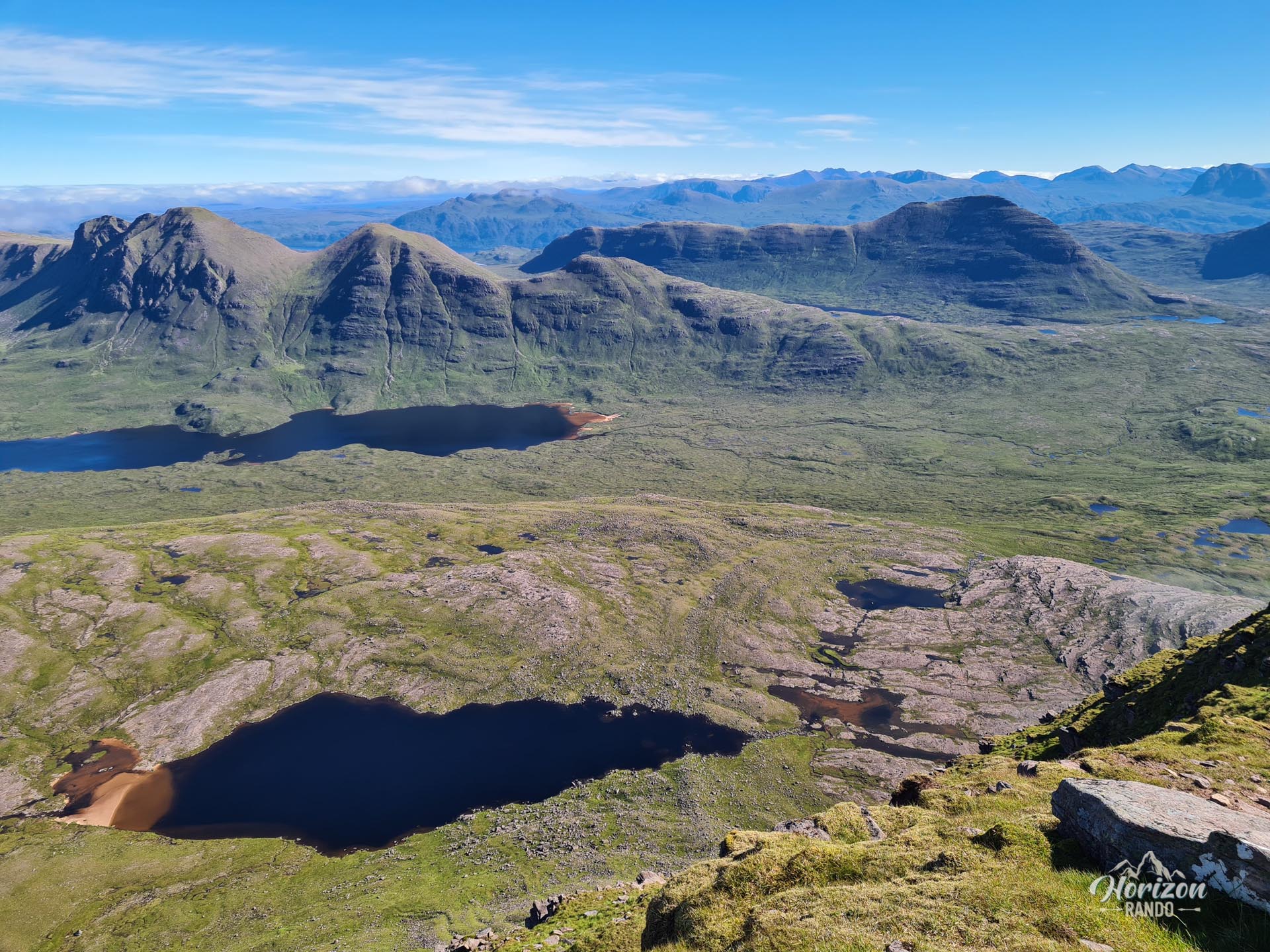
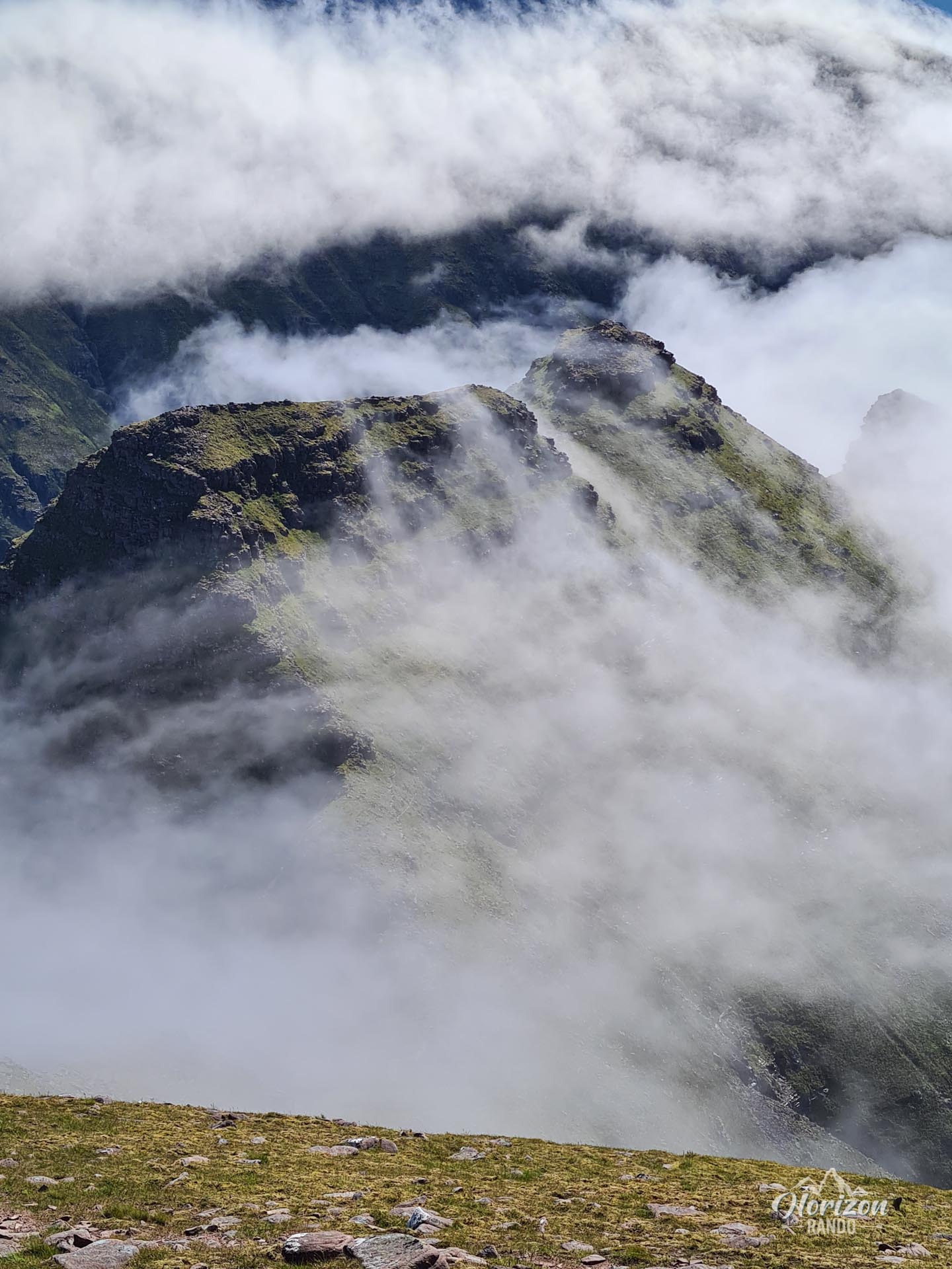
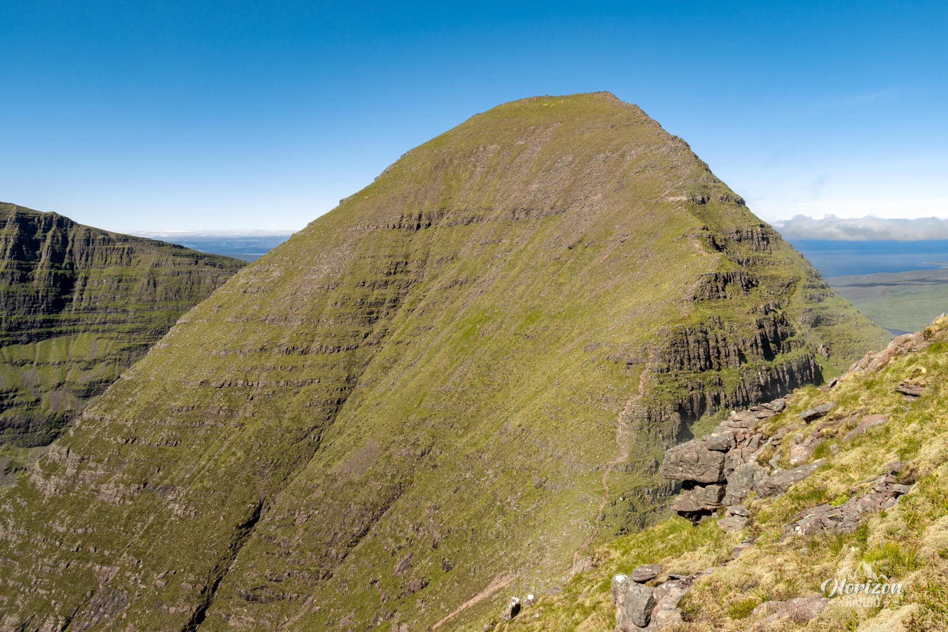
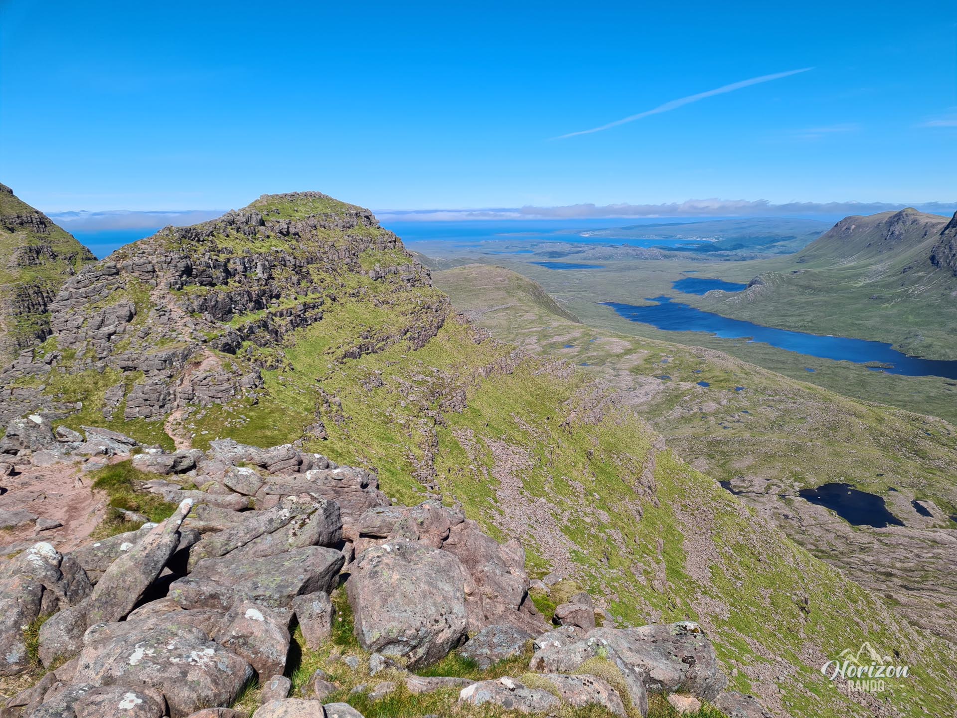
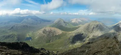
The Beinn Alligin hike (the "jewel mountain" in Gaelic) is one of the great classics of the Torridon region. It is also among the most beautiful ridge crossings in Scotland. This spectacular circuit allows you to climb two Munros: Tom na Gruagaich (922 m) and Sgùrr Mhòr (986 m). The ridge walk offers exceptional, panoramic views of Loch Torridon, the surrounding peaks, and, on a clear day, the Isle of Skye.
Although considered the most accessible of the three famous Torridon crossings, the hike is demanding and promises an unforgettable experience in the heart of breathtaking scenery.
Map and elevation profile of the hike
Beinn Alligin Hike
Description and difficulties of the hike
The Beinn Alligin hike is physically demanding, with over 1,200 meters of elevation gain spread over 11.1 kilometers. The trail is of good quality throughout, but the terrain remains rugged and rocky.
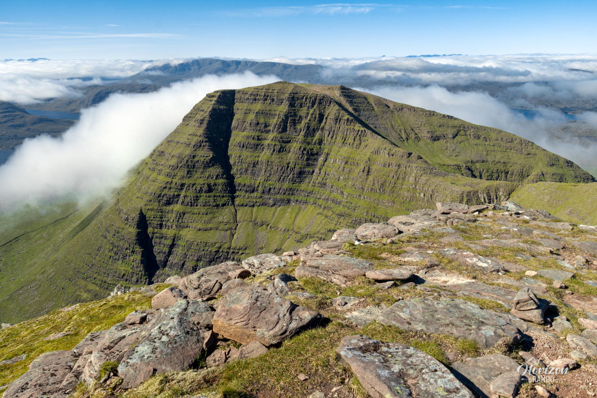
The ascent begins with a sustained, steep climb through Coire na Laogh on a winding trail alongside the Alltan Glas stream to the first summit, Tom na Gruagaich. The ridge section connecting the two Munros has a few rocky passages that occasionally require the use of your hands but remains accessible. Just before reaching the main summit, Sgùrr Mhòr, you will pass the impressive Eag Dhubh, a deep crevasse cutting into the south face of the mountain that can easily be bypassed on the left.
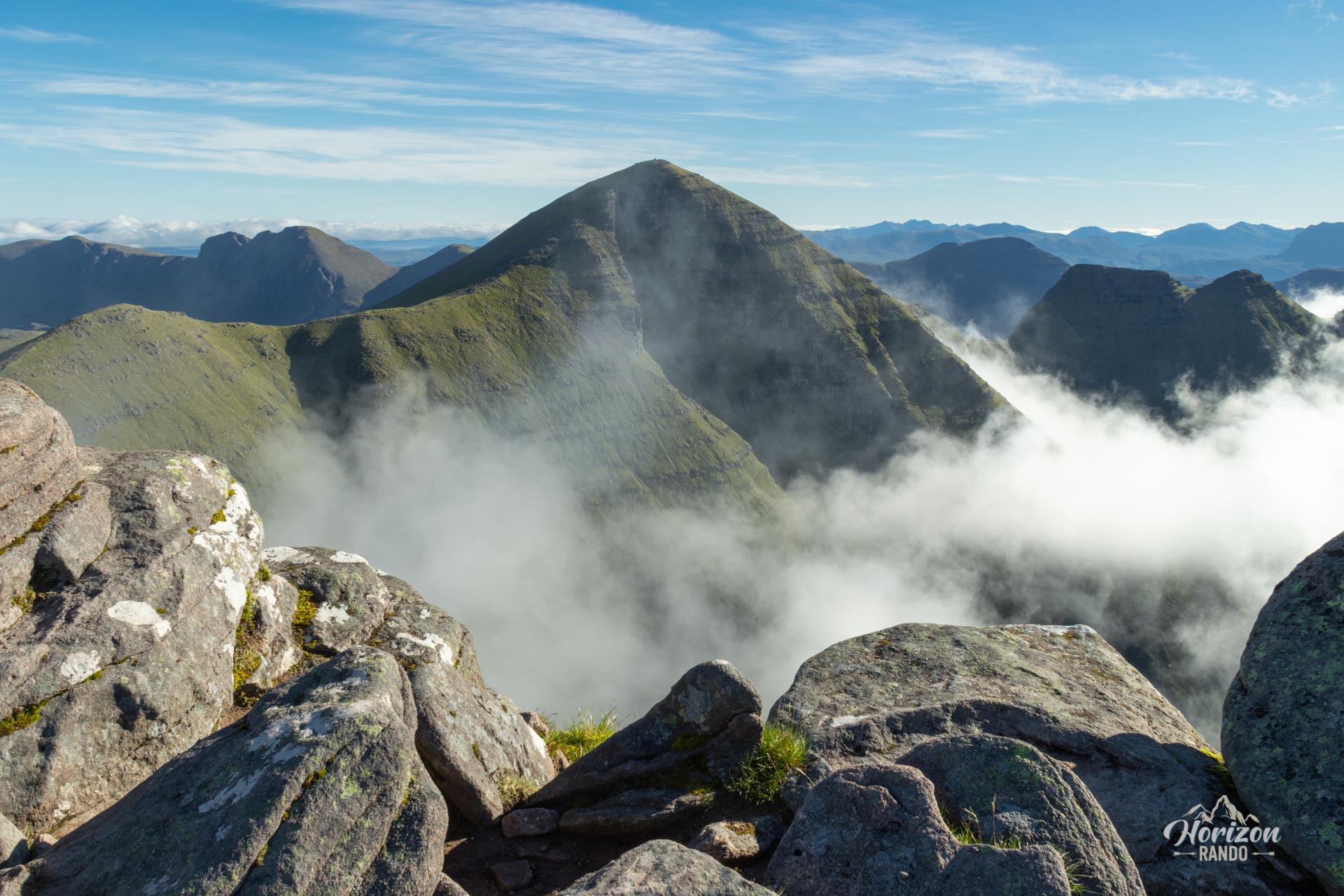
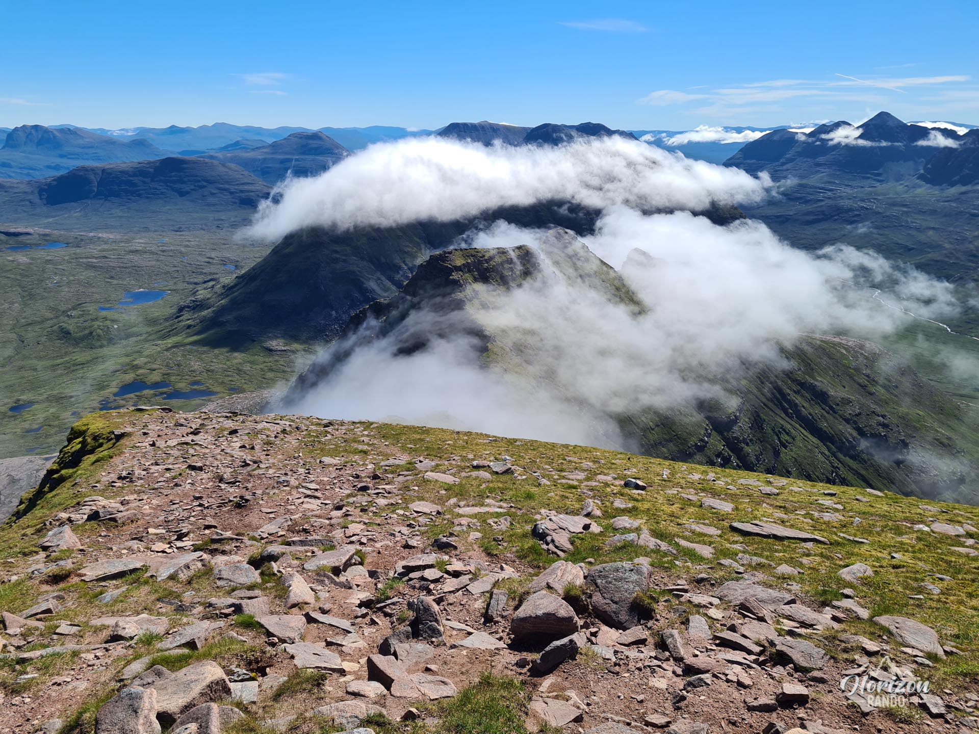
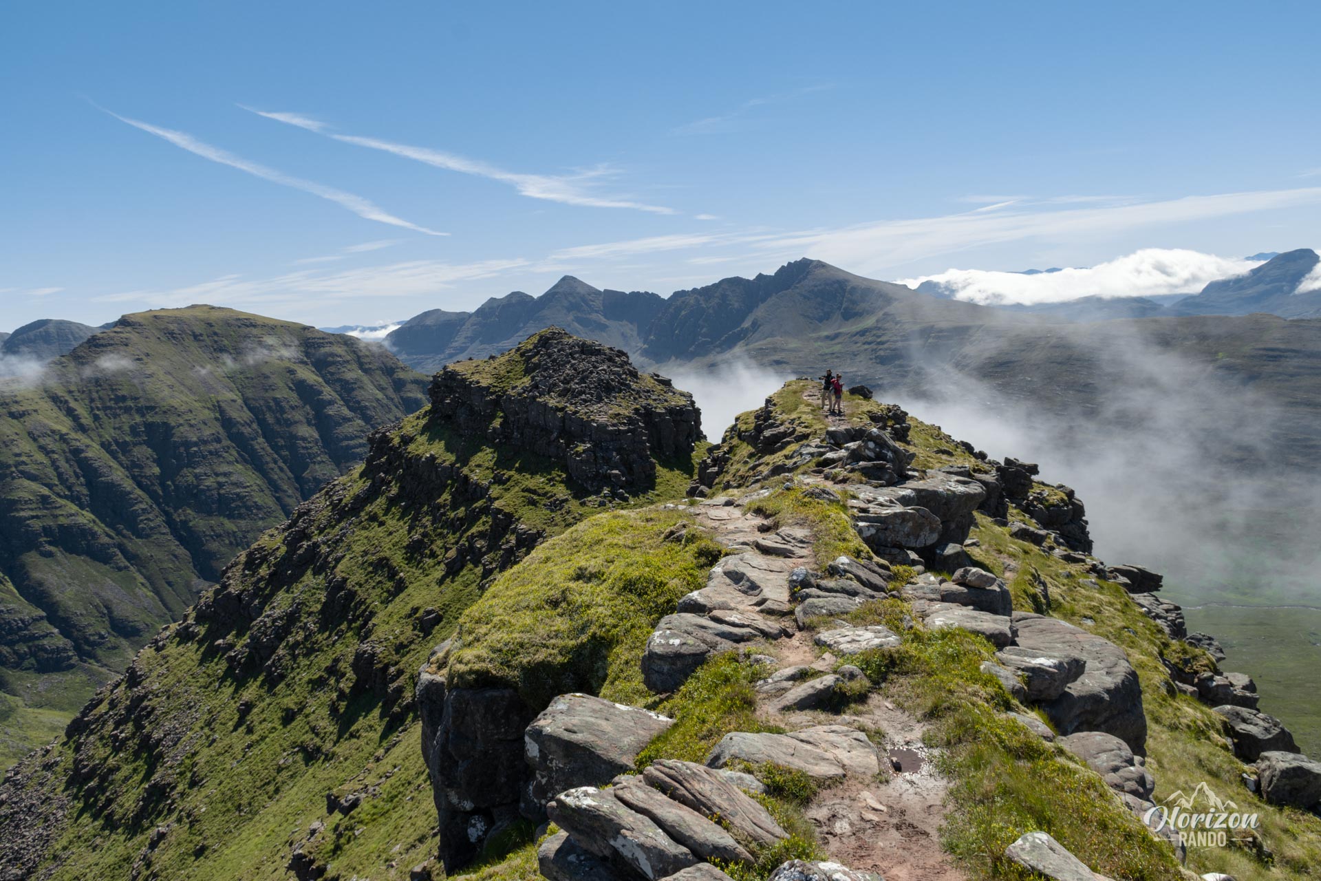
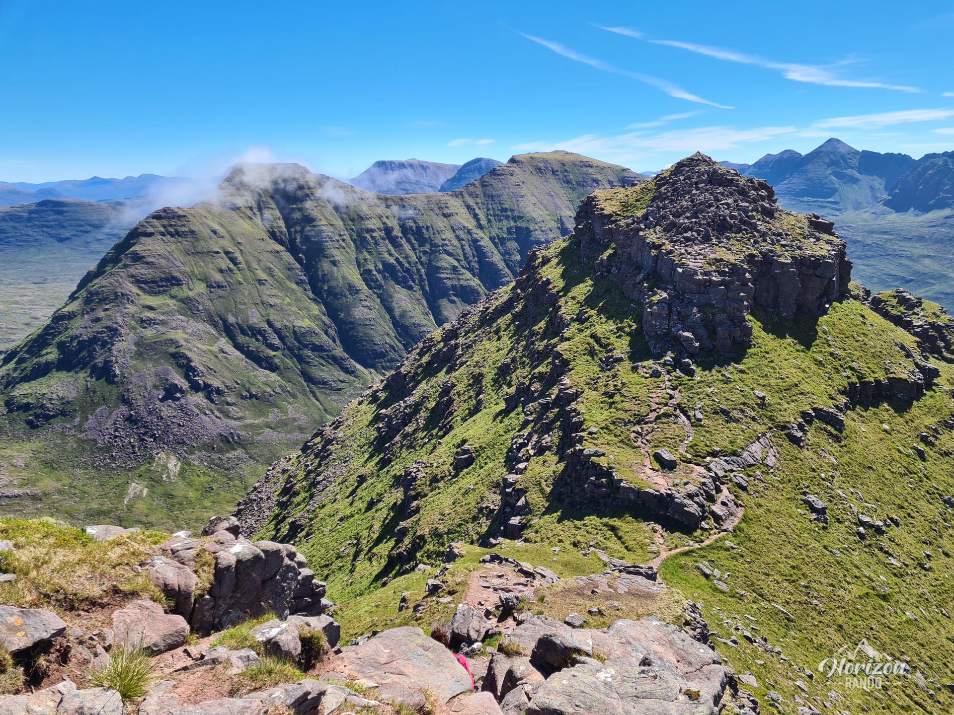
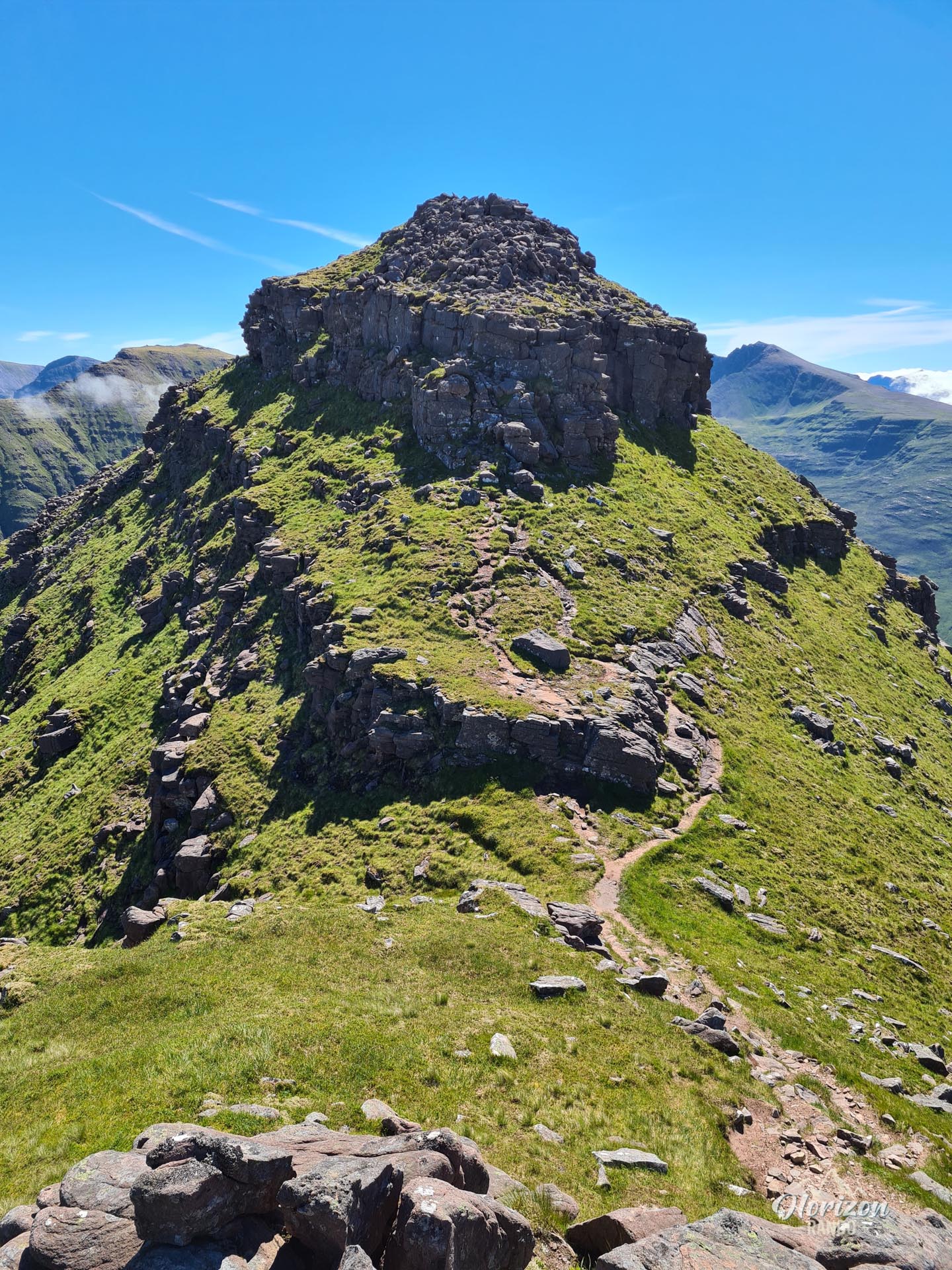
After the second Munro, the descent to the famous "Horns of Alligin" is along a narrow, steep ridge. Crossing the three horns is the most technical part of the route. It requires easy grade 1–2 climbing on grippy but exposed Torridon sandstone with several aerial sections that involve some scrambling. The most delicate passages are on the second and third horns. There are alternative routes, but most of them are more difficult than the direct traverse. The descent after the horns is also steep and rocky, requiring sustained attention.
What you'll love
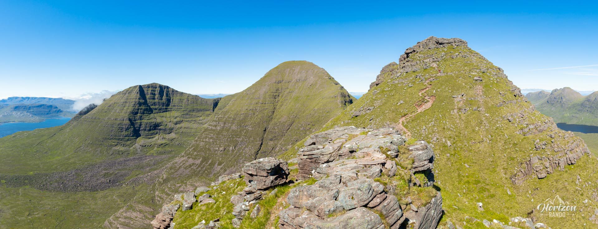
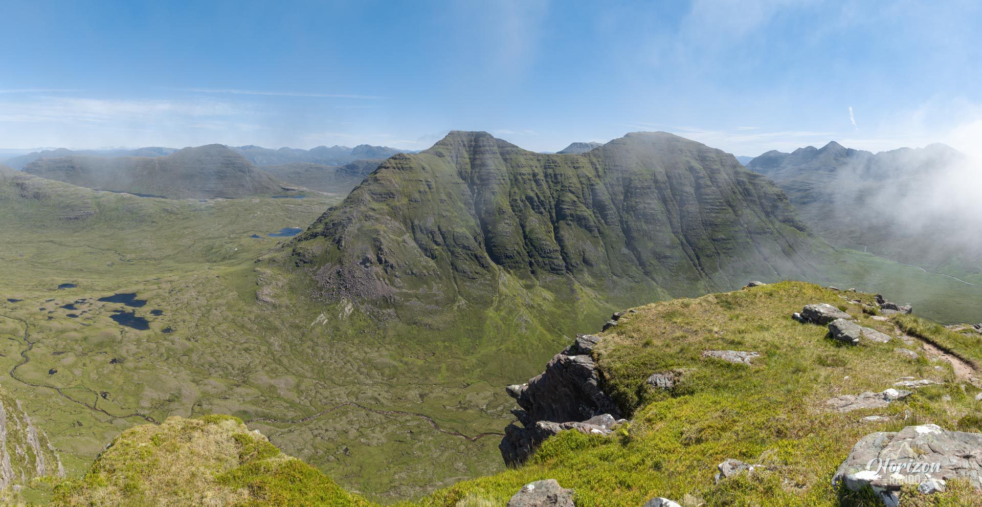
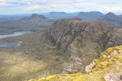
- Magnificent panoramas throughout the route: Breathtaking views of Loch Torridon and the neighboring Liathach and Beinn Eighe massifs, as well as coastal landscapes stretching as far as the Isle of Skye.
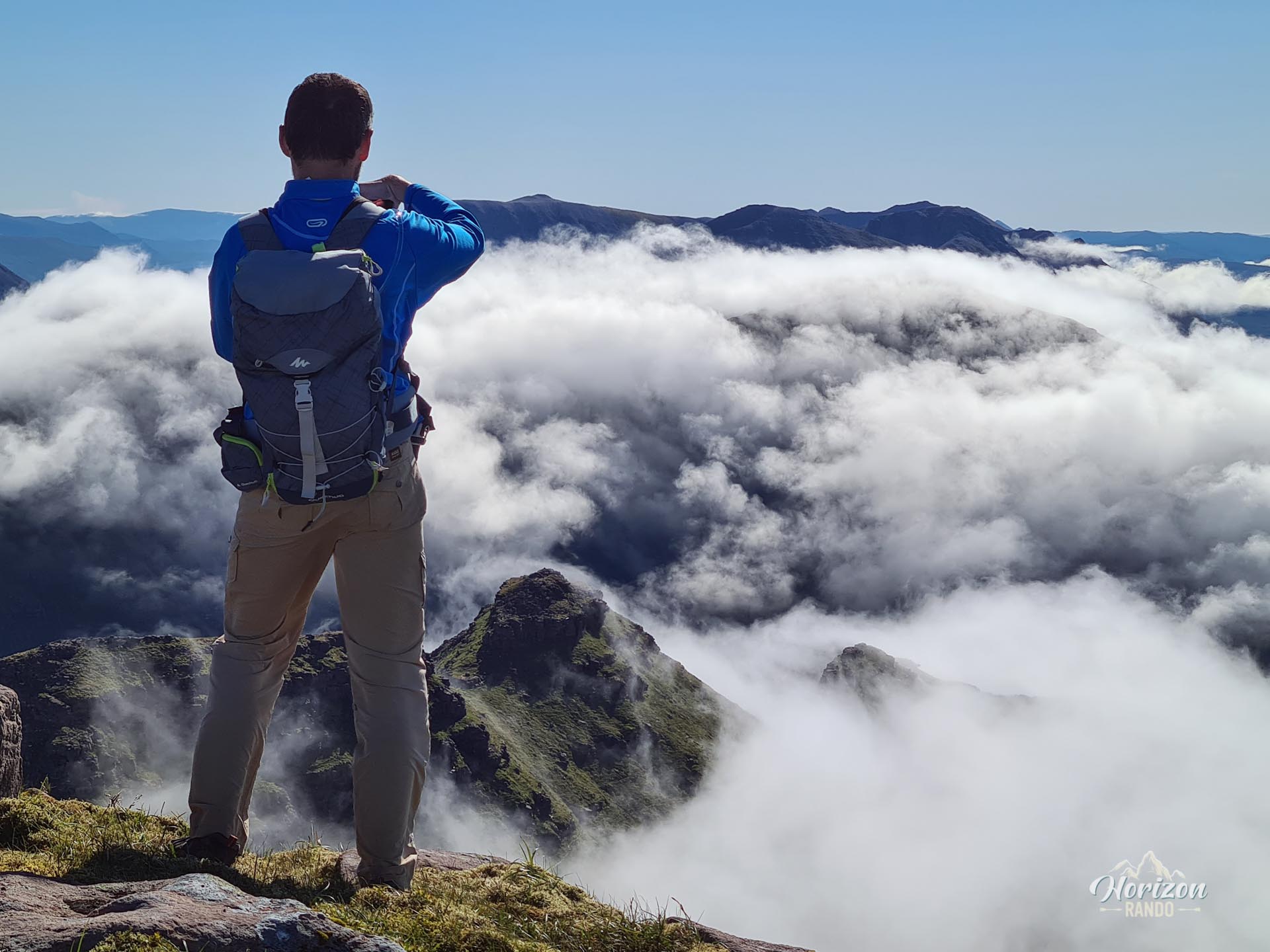
- An unforgettable ridge walk: The unique experience of walking along a long, rocky ridge surrounded by 360° panoramic views of the Scottish Highlands.
- Crossing the Horns of Alligin: Easy climbing on red Torridon sandstone with excellent grip in a spectacular, airy environment.
Practical information
Parking
Free parking is available at the start of the hike near the bridge, about 3 km west of the village of Torridon. The parking lot can fill up in the summer, so arrive early.
Best time to go
June to September. Snow can persist until the end of June on the higher sections. Avoid this hike in bad weather, especially strong winds, as they make the technical sections dangerous.
An alternative for hikers afraid of heights
It is possible to complete most of this hike as a round trip. The ascent of Tom na Gruagaich (922 m) and the subsequent ridge trail to the main summit of Sgùrr Mhòr (986 m) are not particularly exposed. This allows you to enjoy the magnificent views while avoiding the tricky sections of the Horns of Alligin.
Photos
See all 25 photos →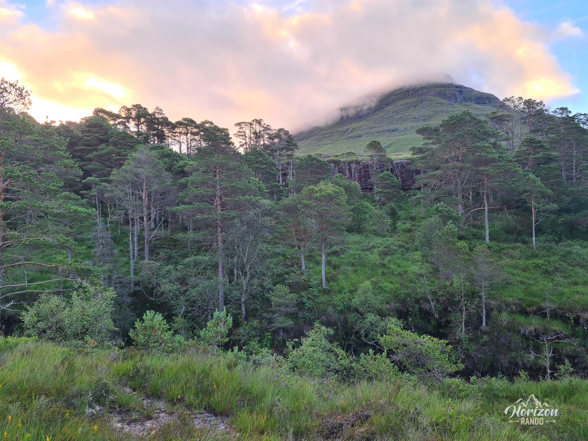
More hikes to do in Scotland
Nearby hikes










Printed from www.horizonrando.fr/en/scotland/beinn-alligin/