






Sgùrr Dearg Hike
Key facts about the hike
- Difficulty
- Very hard Hikes are rated from very easy to very hard: my difficulty scale
- Duration
- 5h30 Estimated time, short breaks included (photos, water, snacks), picnic not included: how it is calculated
- Distance
- 7.8km
- Elevation gain
- 1,030m
- Type of route
- Loop
- Maximum altitude
- 977 m
- Vertiginous Five levels, depending on how exposed the route is: the levels in detail
- Highly
- Marked
- No
- Popularity
- Low
- Region
- Isle of Skye
- Start point
- 57.21185, -6.28814
- Activity
- Hiking
Hike overview
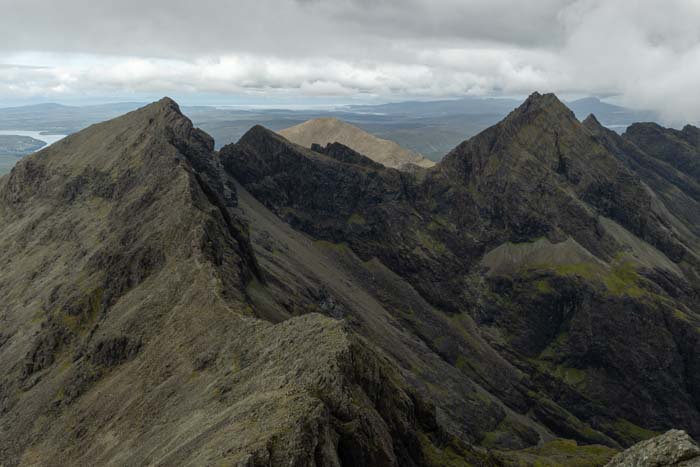
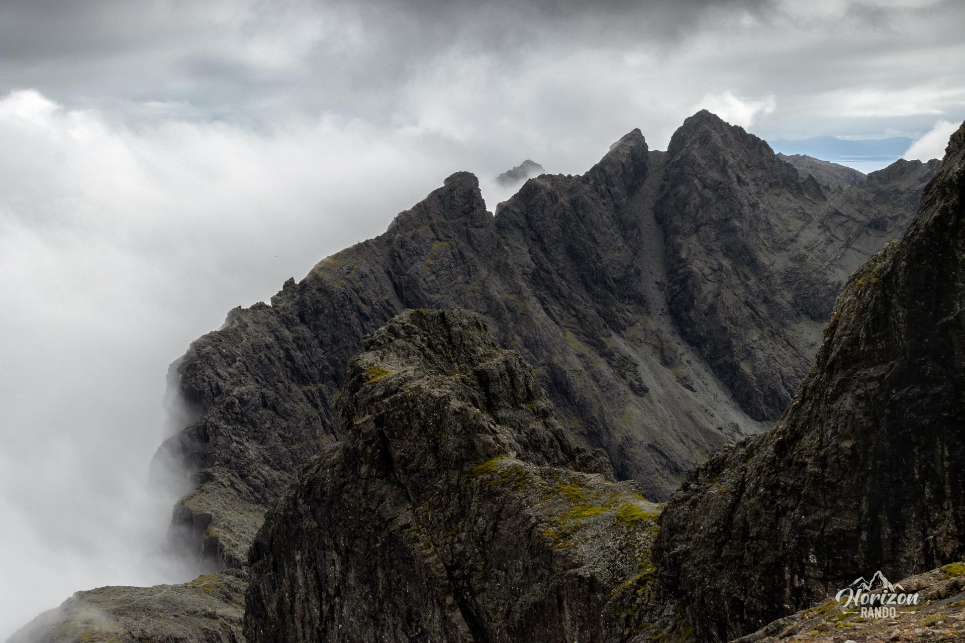
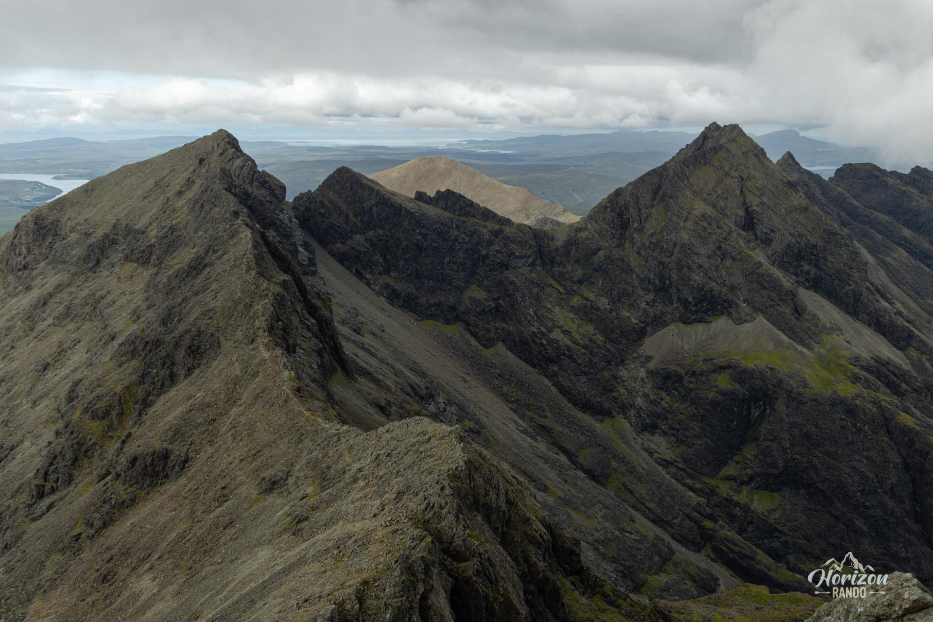
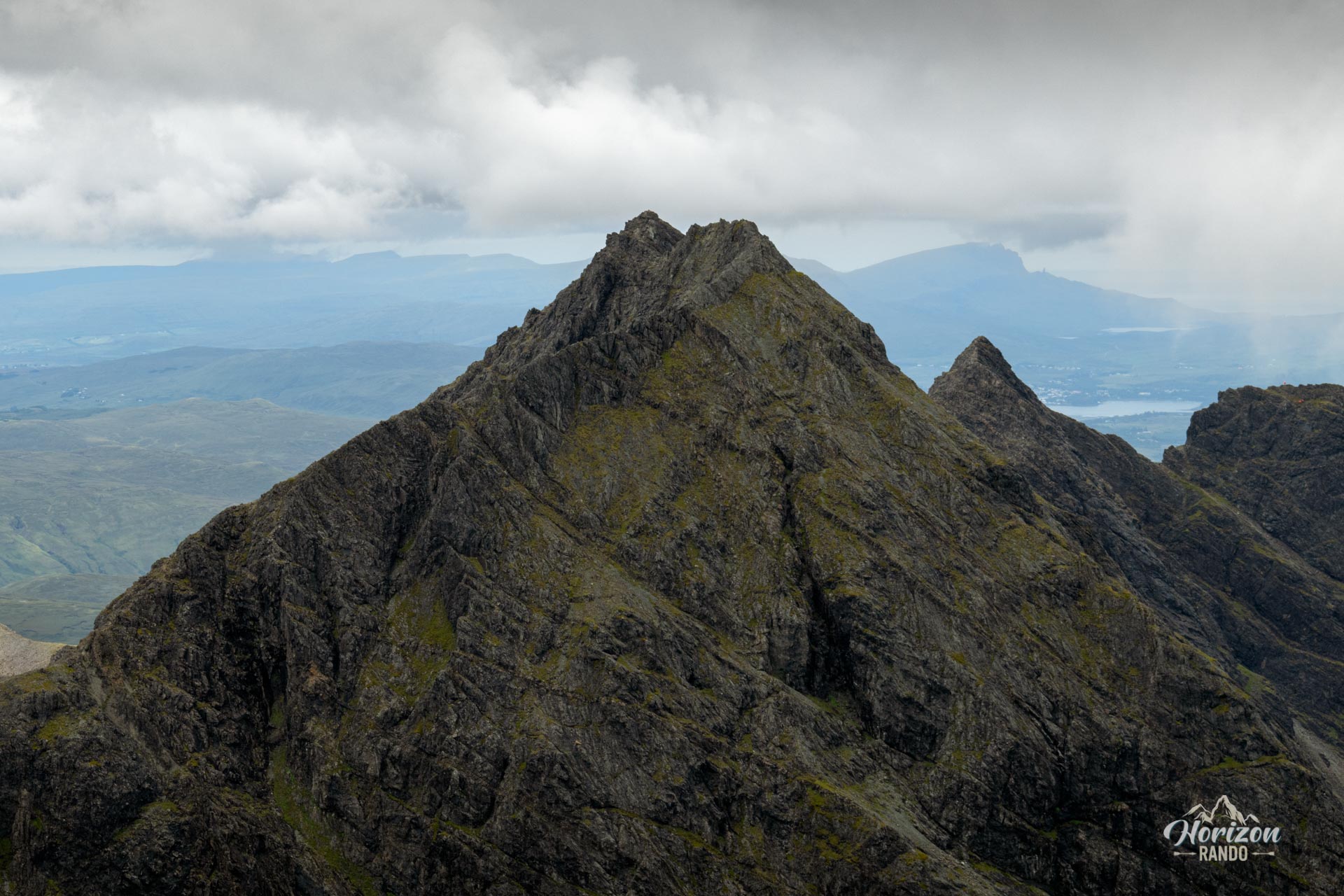
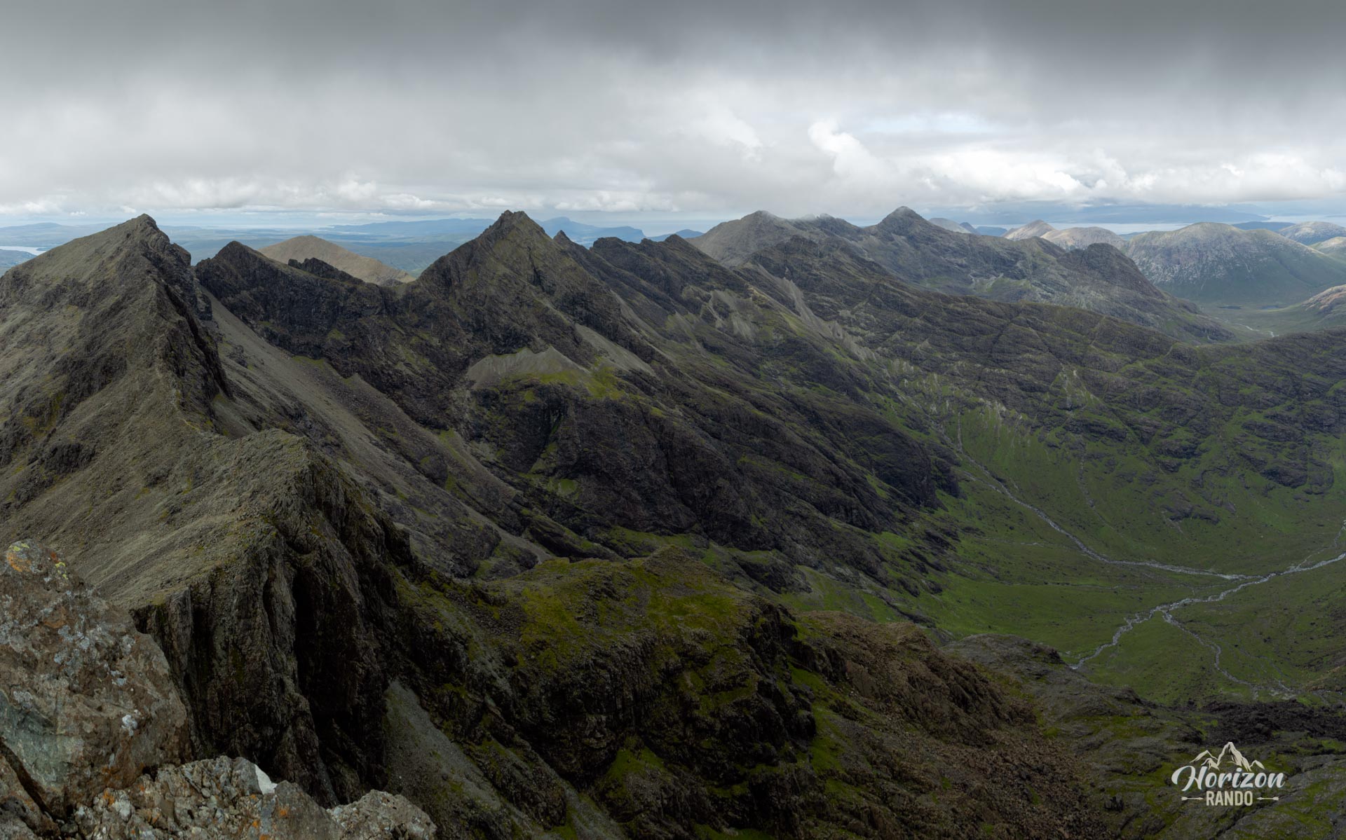
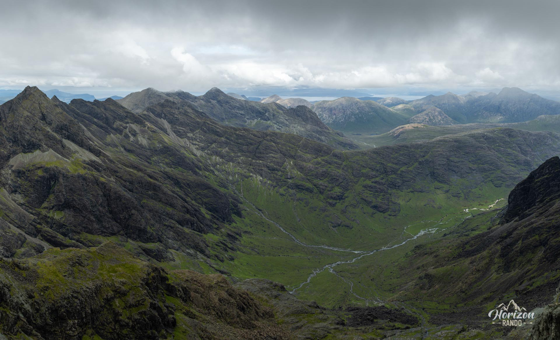
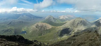
The Sgùrr Dearg hike (meaning "red peak" in Gaelic) takes you to the heart of the Black Cuillin mountain range, the most iconic range on the Isle of Skye. The route offers spectacular views of the sharp Cuillin ridge and the vast glacial cirques that surround it, in a typical high mountain atmosphere.
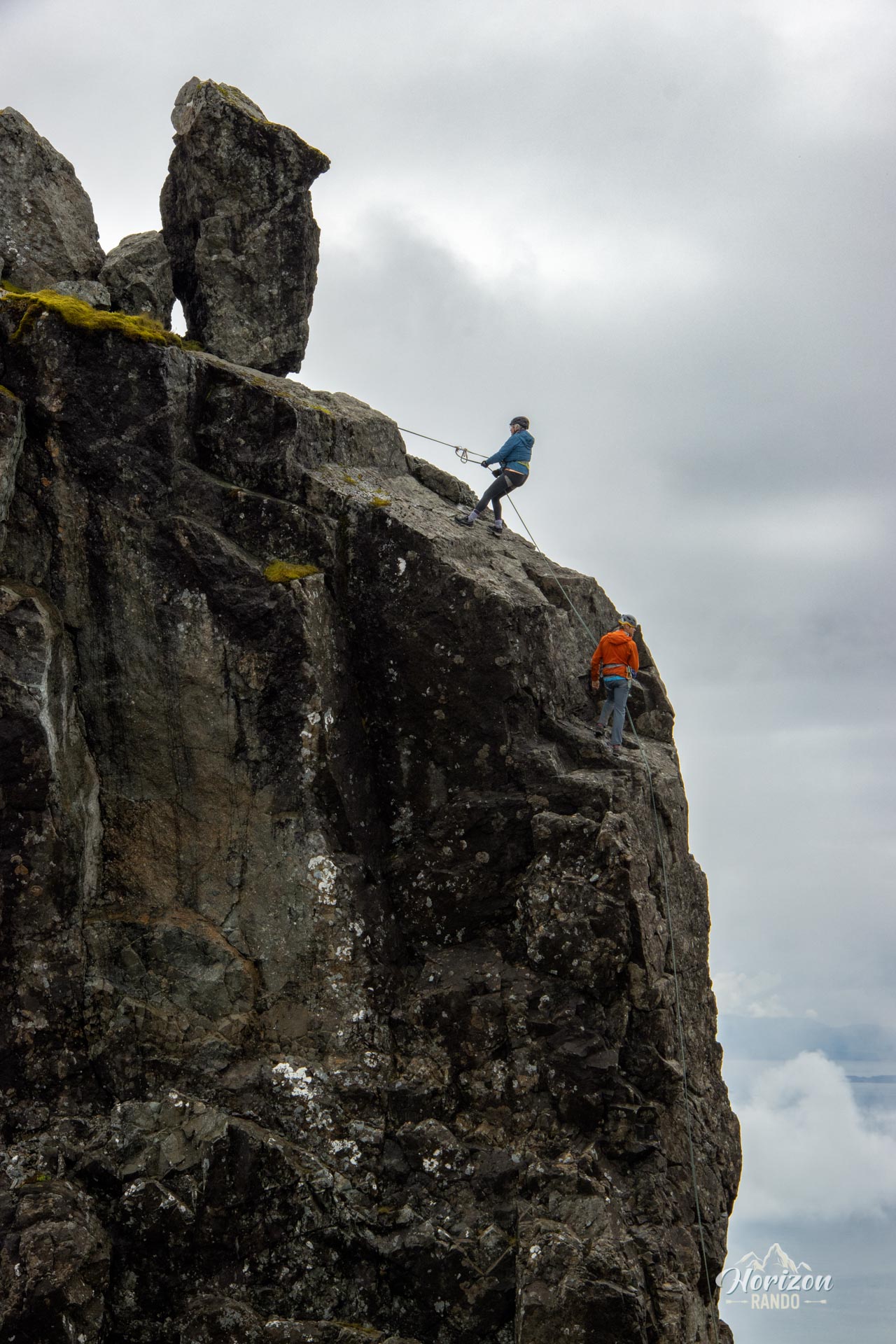
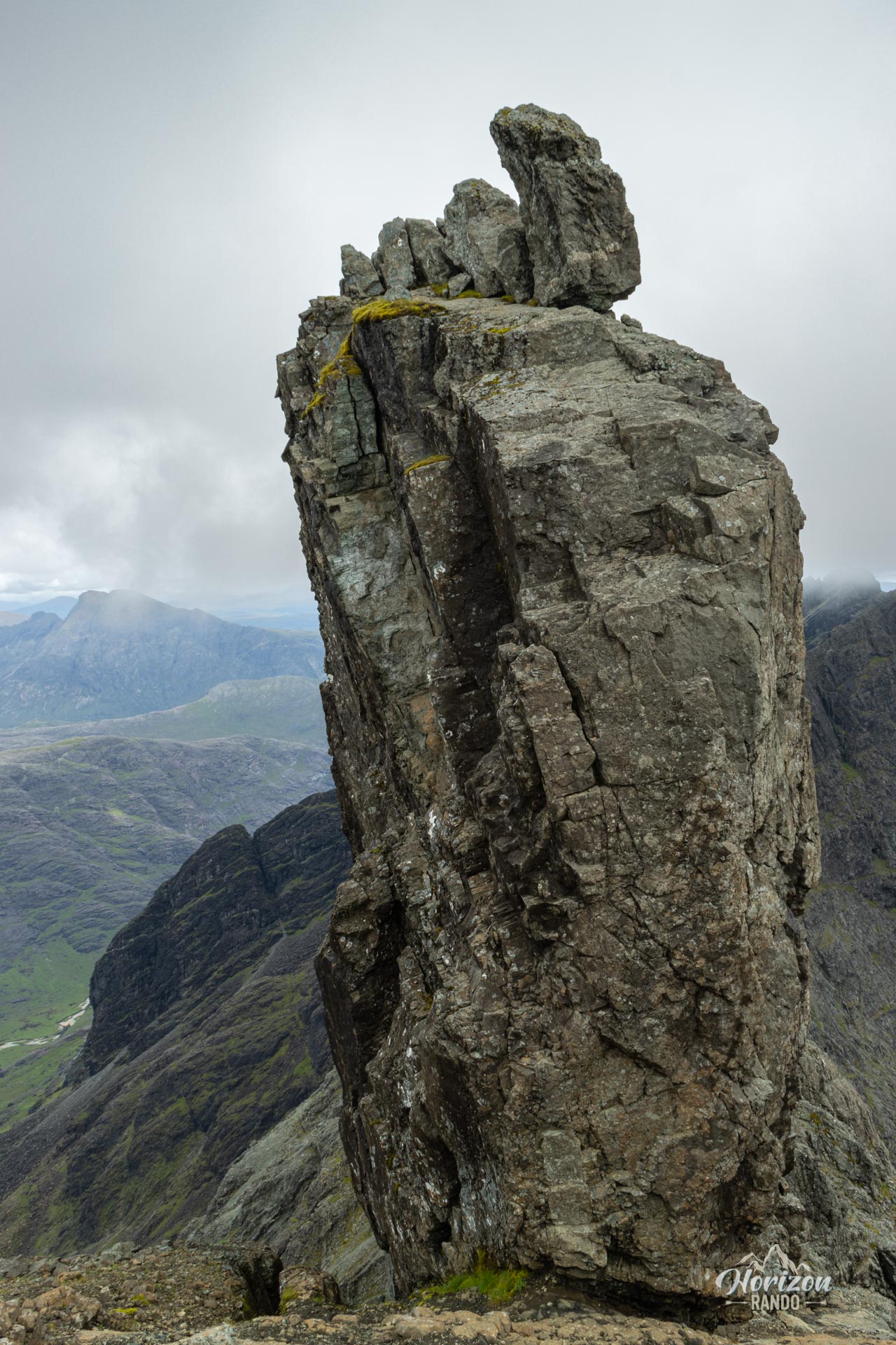
At the summit, you will find the Inaccessible Pinnacle, a 50-meter rock formation perched above Sgùrr Dearg. This hike does not include ascending this rock, which requires climbing equipment and technical skills—notably, it is the only Munro in Scotland that requires such expertise.
Map and elevation profile of the hike
Sgùrr Dearg Hike
Description and difficulties of the hike
Sgùrr Dearg is a technically demanding hike that requires good physical condition and skills for navigating mountain terrain. The round-trip distance is 7.8 km, with an elevation gain of 1,030 m. The route is mostly on rocky and uneven terrain.
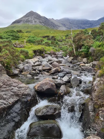
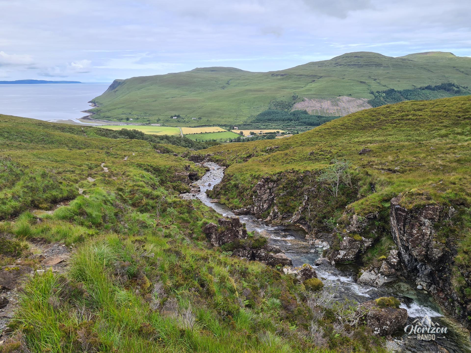
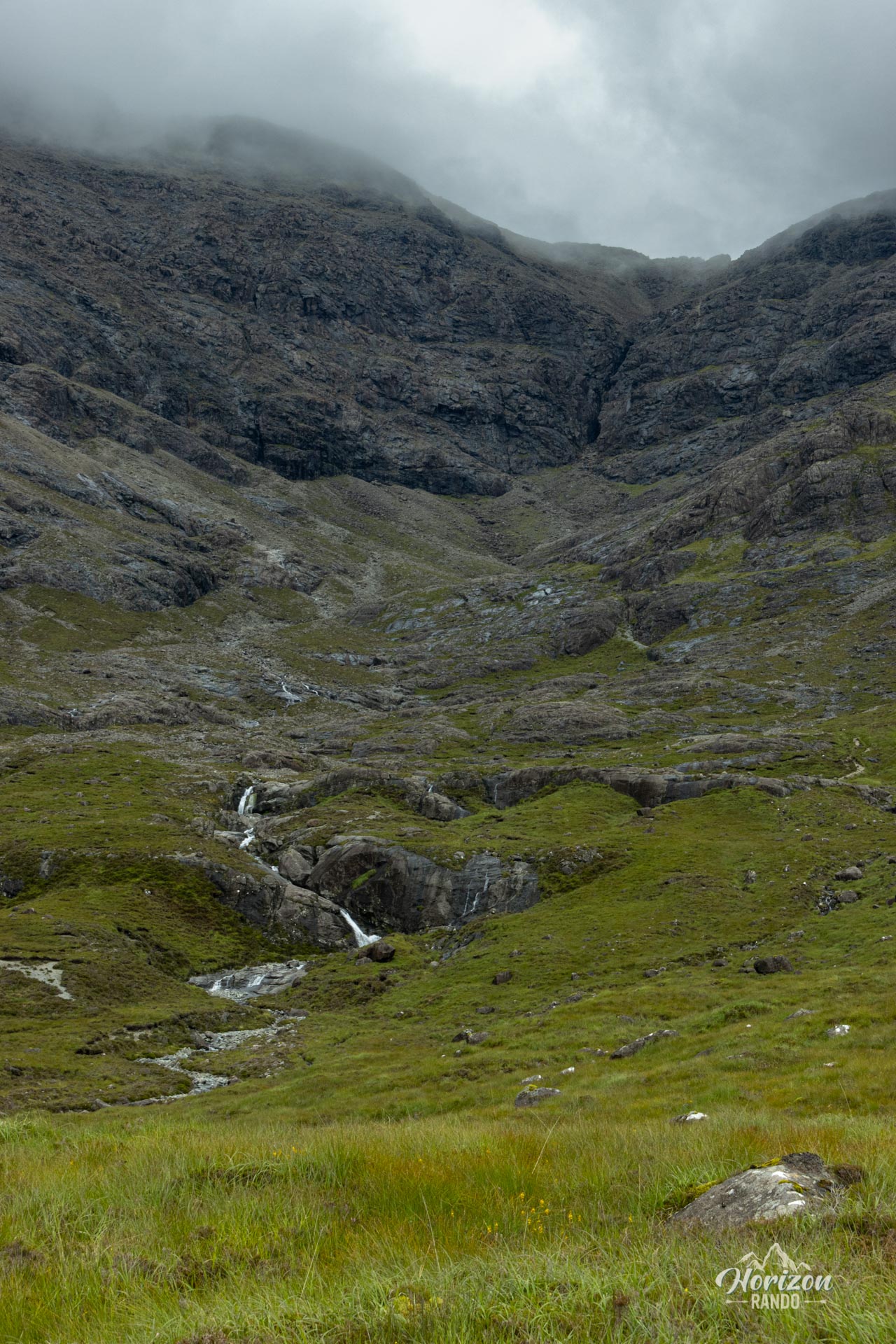
The well-defined trail from Glenbrittle to the magnificent Eas Mòr waterfalls becomes progressively less distinct as the altitude increases. In the upper part of the route, the path virtually disappears: you will need to locate cairns and rely on a GPS or detailed map with an excellent sense of direction.
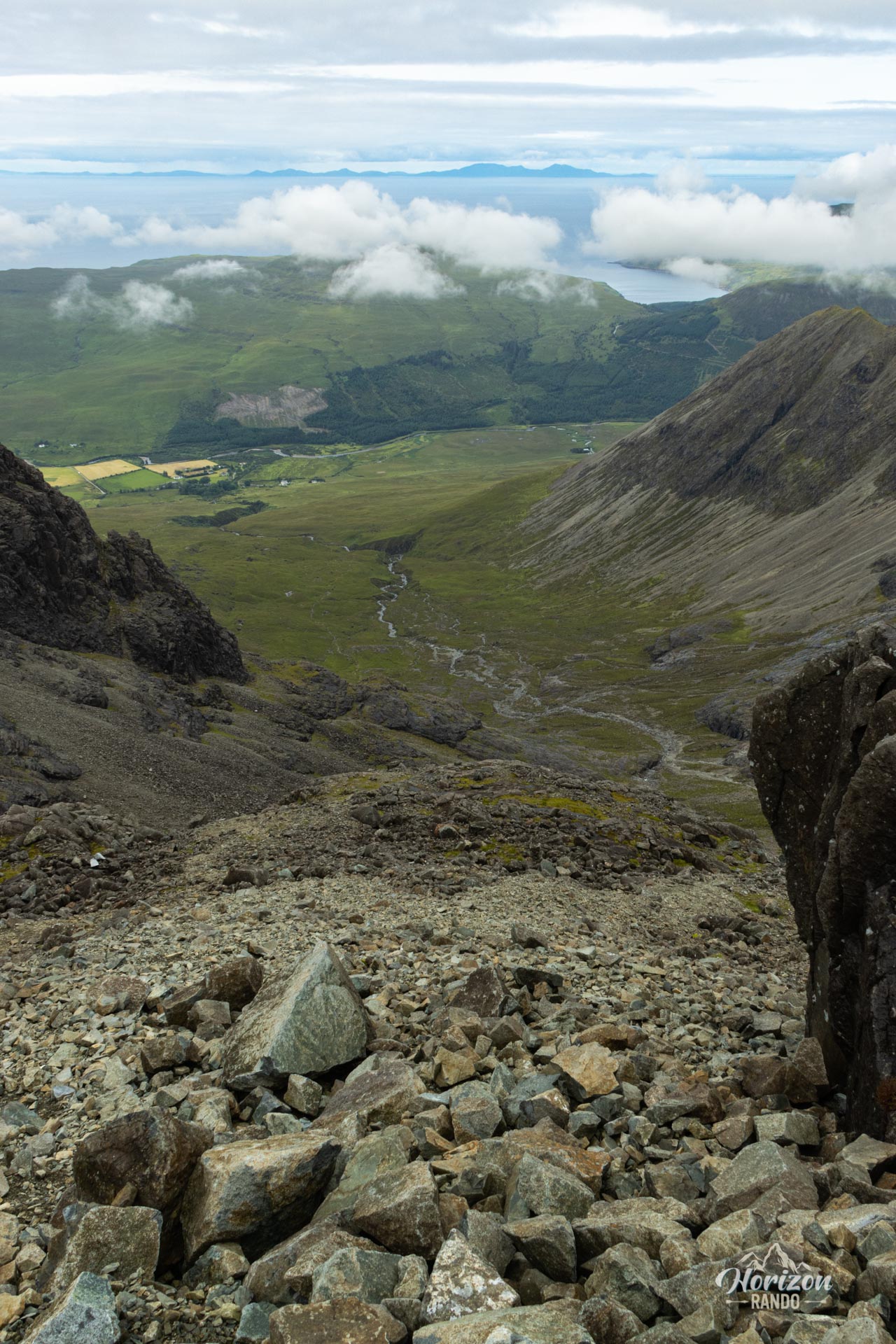
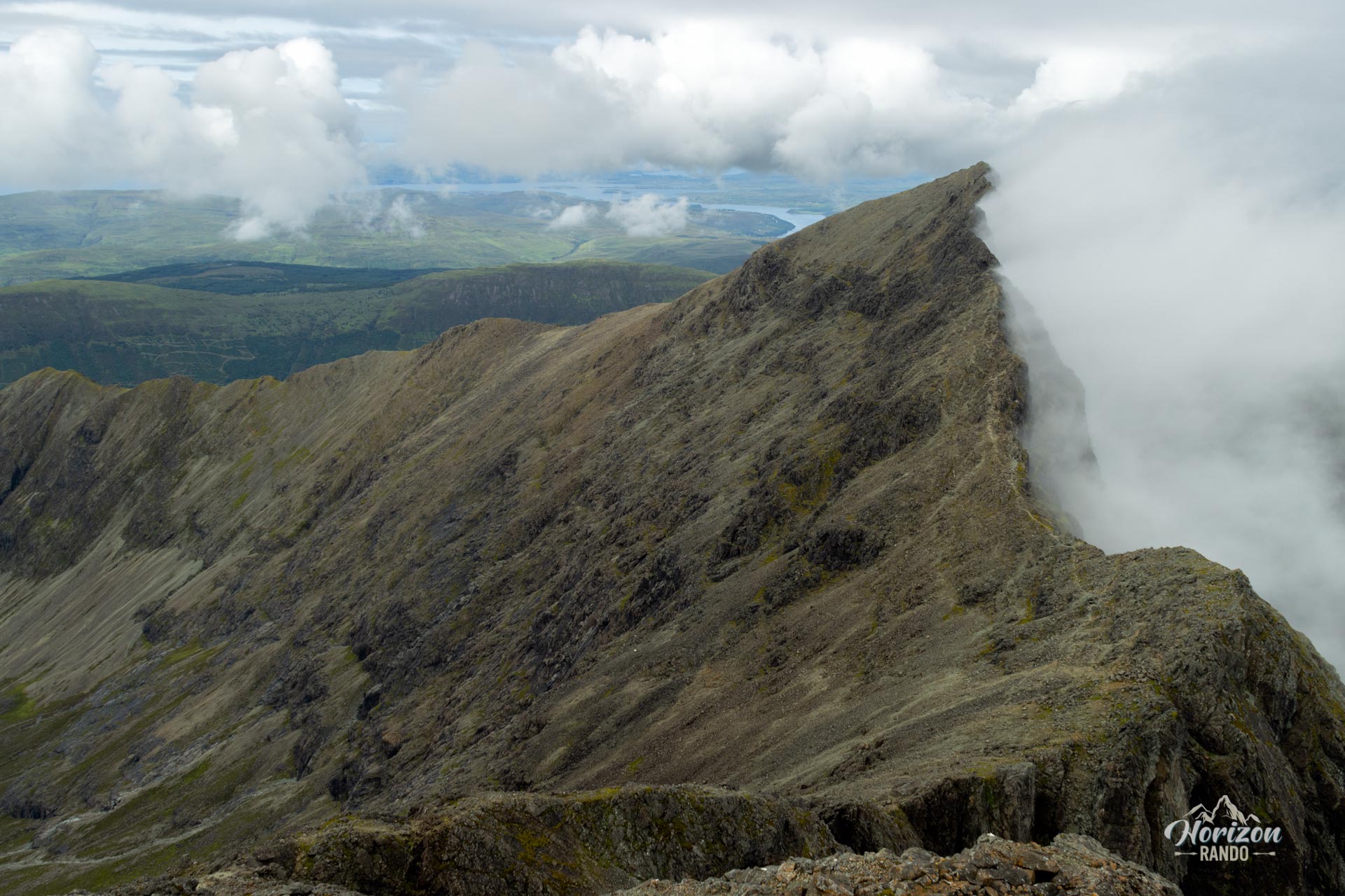
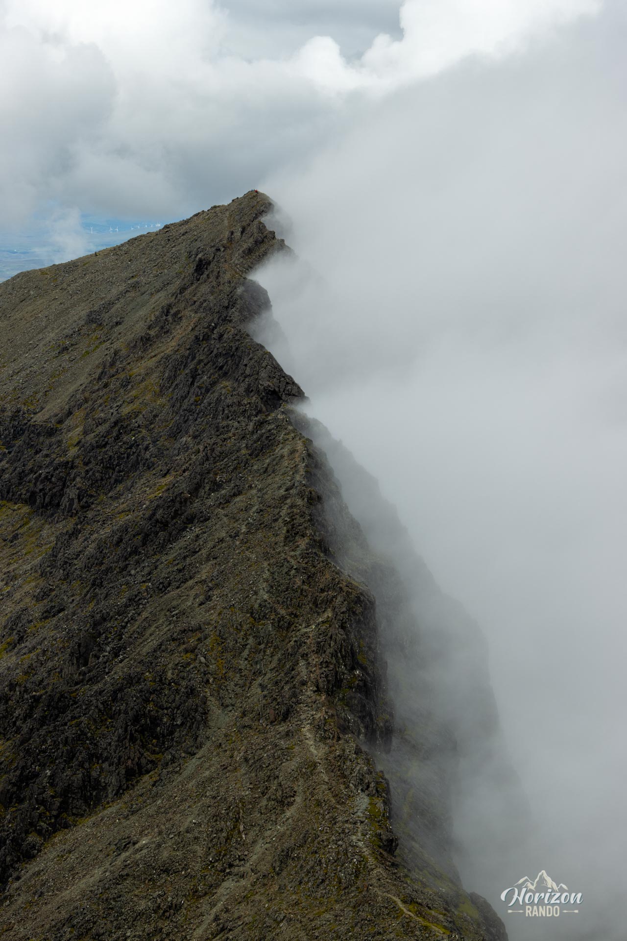
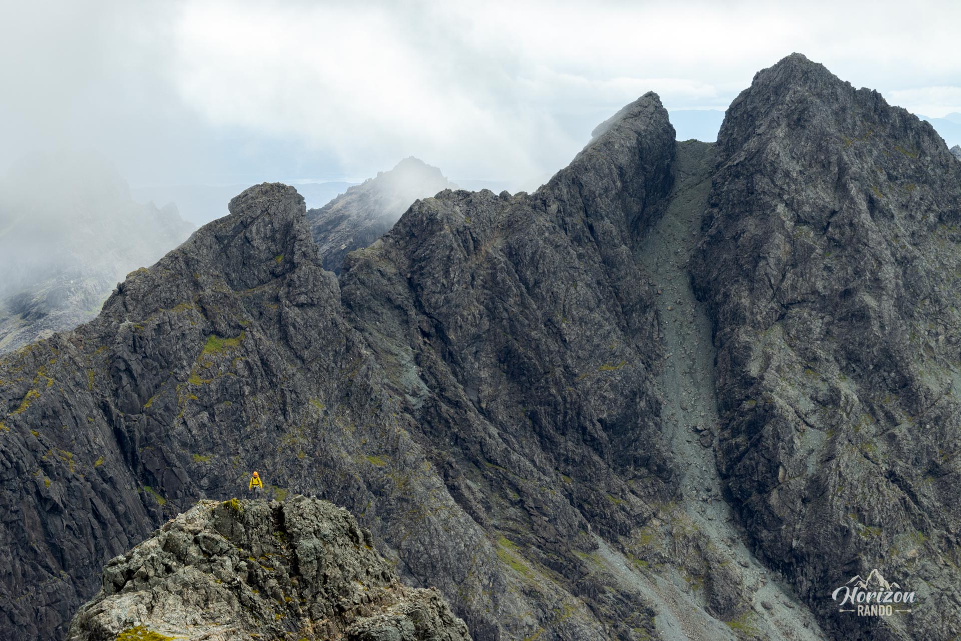
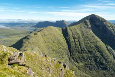
The terrain is mainly rocky, with many sections requiring the use of your hands. The final climb to the ridge crosses a long, steep, and slippery scree slope. On the Cuillin ridge, several exposed sections may impress hikers who are afraid of heights. Although the Cuillin gabbro provides good traction, be careful of loose rocks and rockfalls that may be triggered by other hikers.
What you'll love
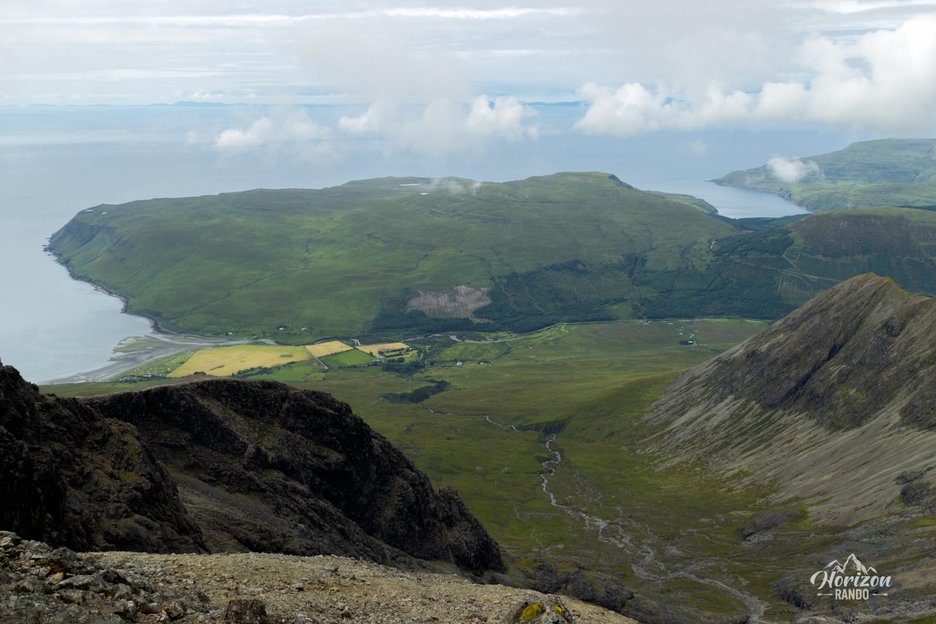
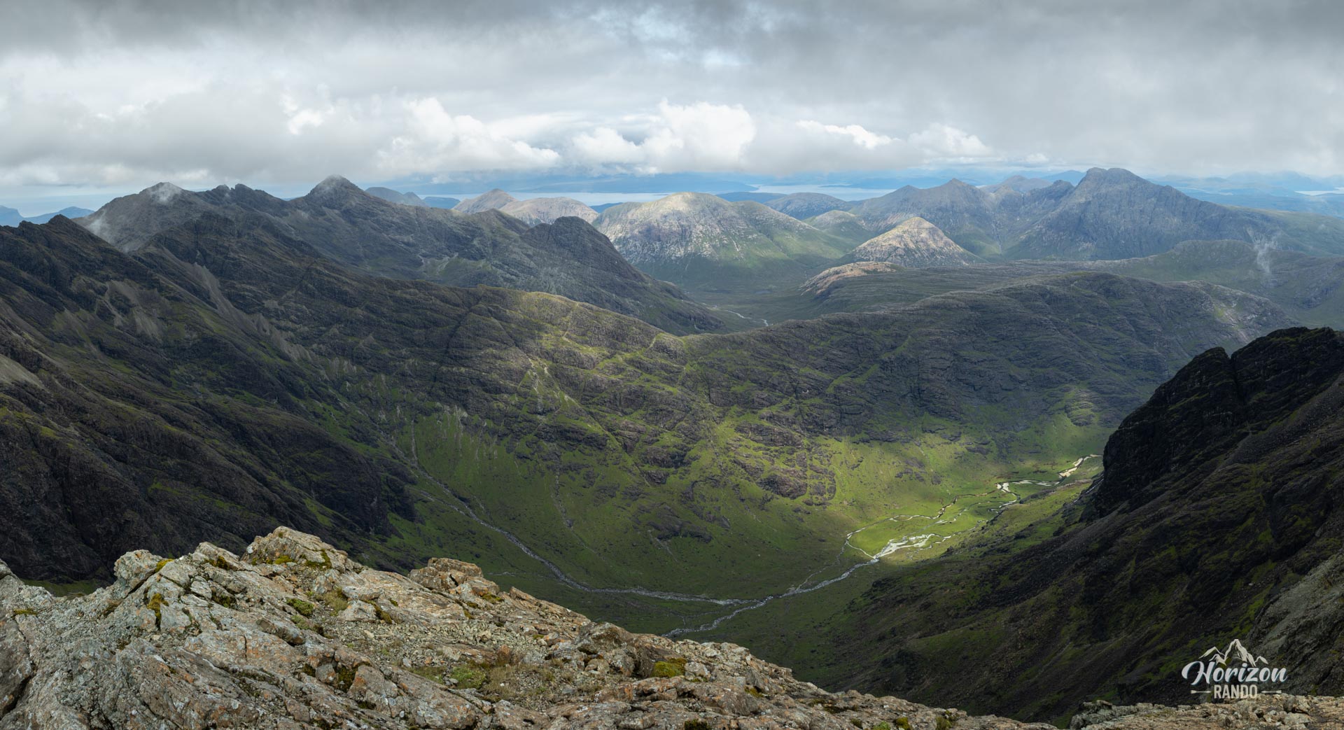
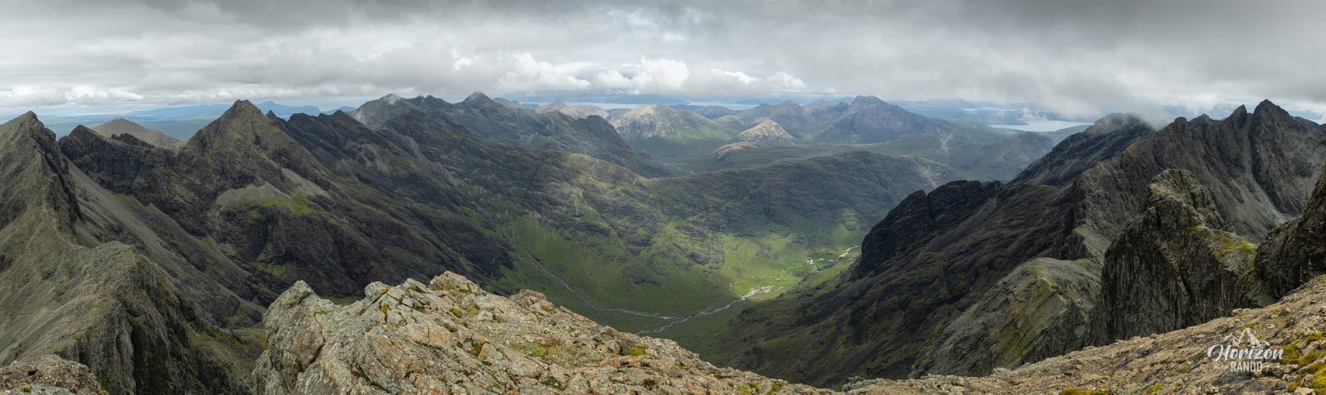
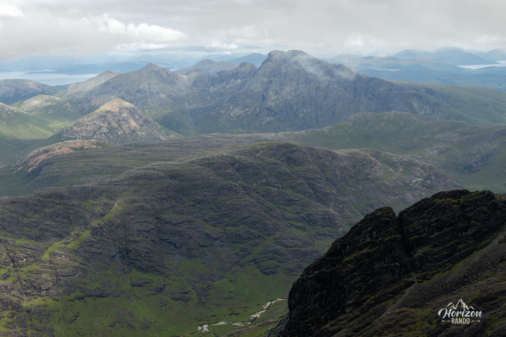
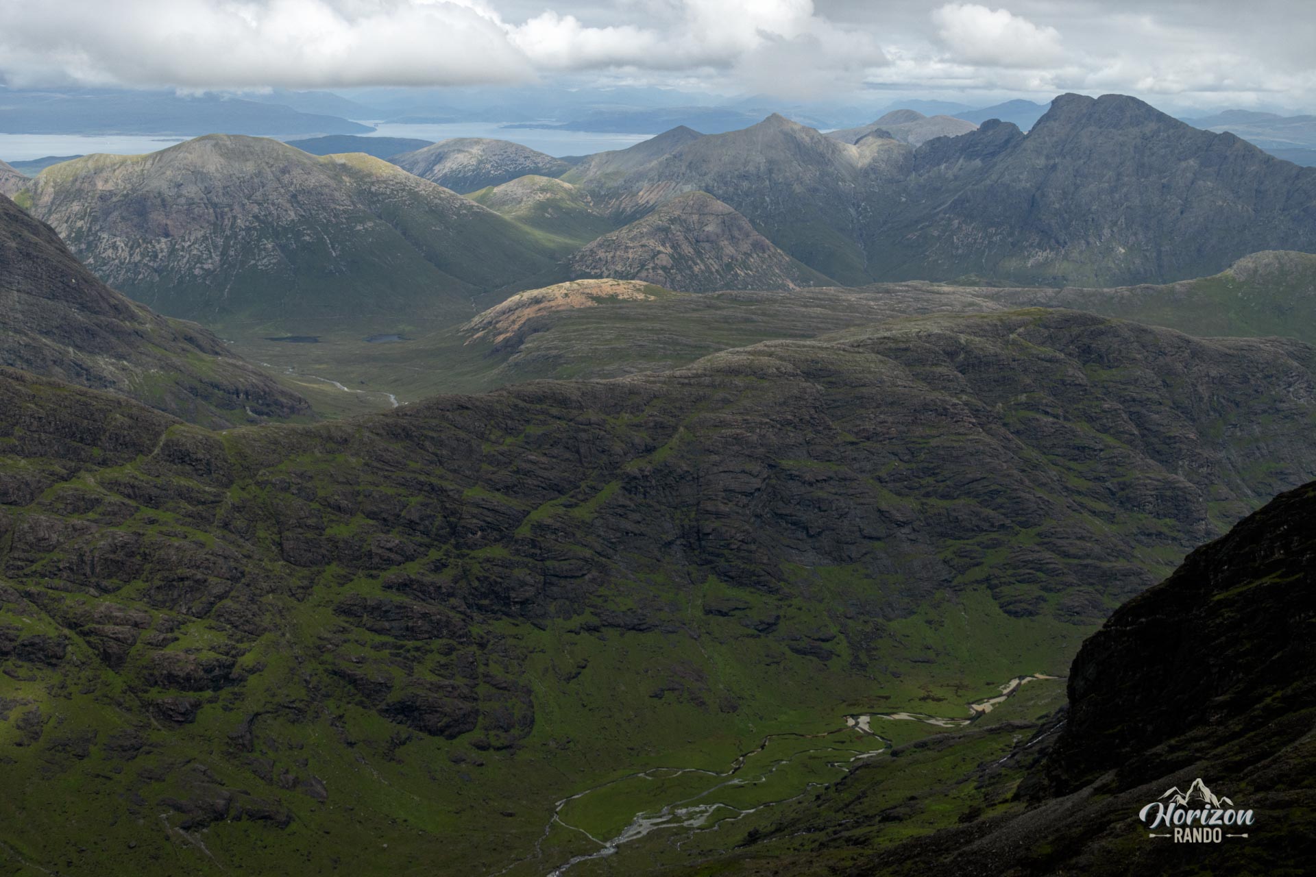
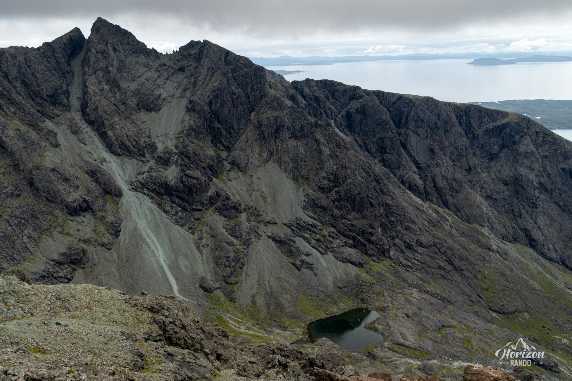
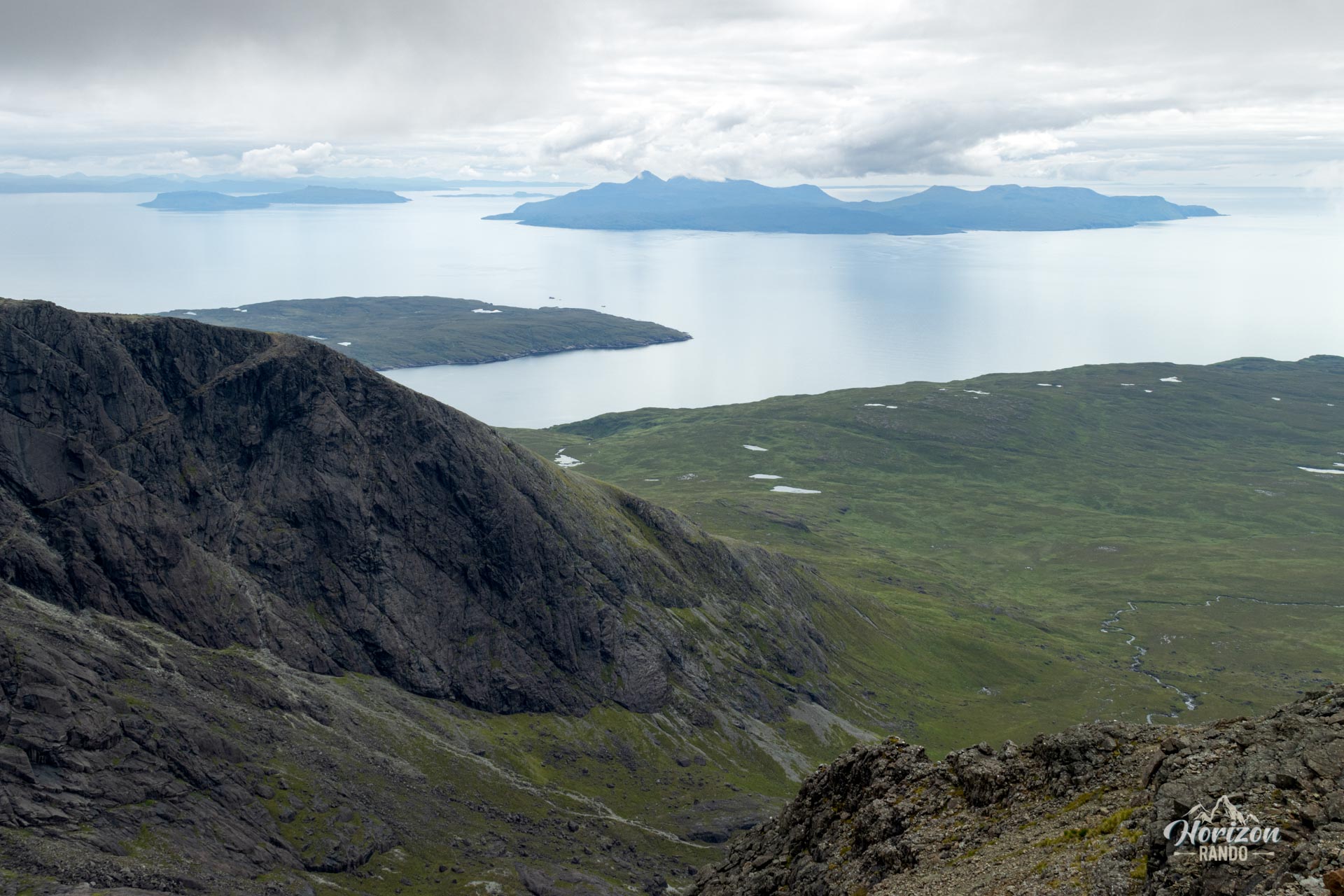
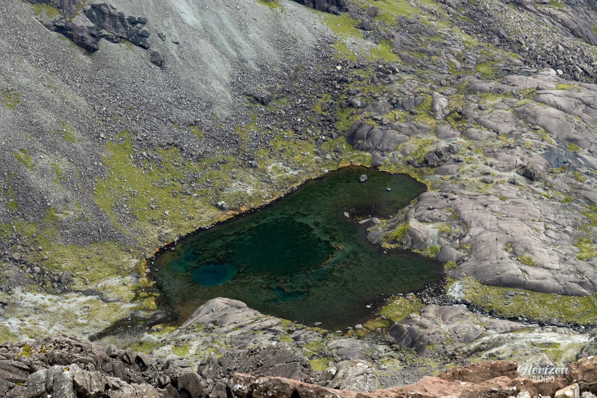
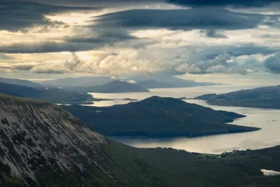
- Spectacular views from the Cuillin ridge: A bird's-eye view of Coire Lagan and Sgùrr Alasdair and breathtaking vistas of the entire mountain range and the surrounding small islands (Eigg, Rum, etc.).
- A high mountain atmosphere, rare in Scotland, which will delight lovers of technical terrain and mineral landscapes.
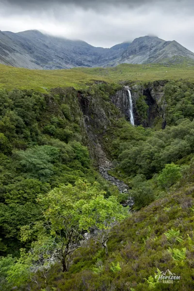
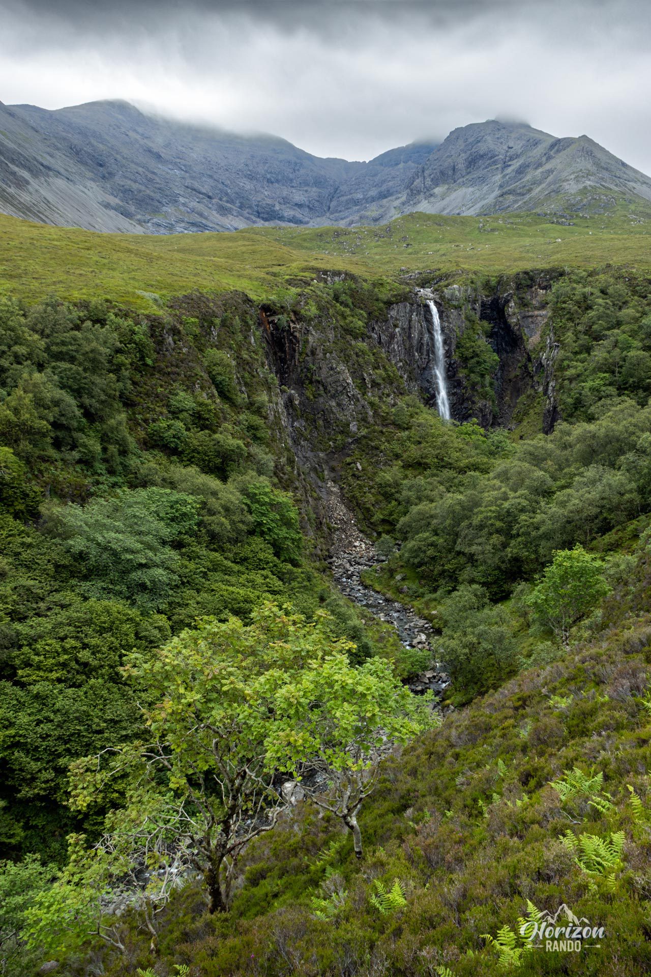
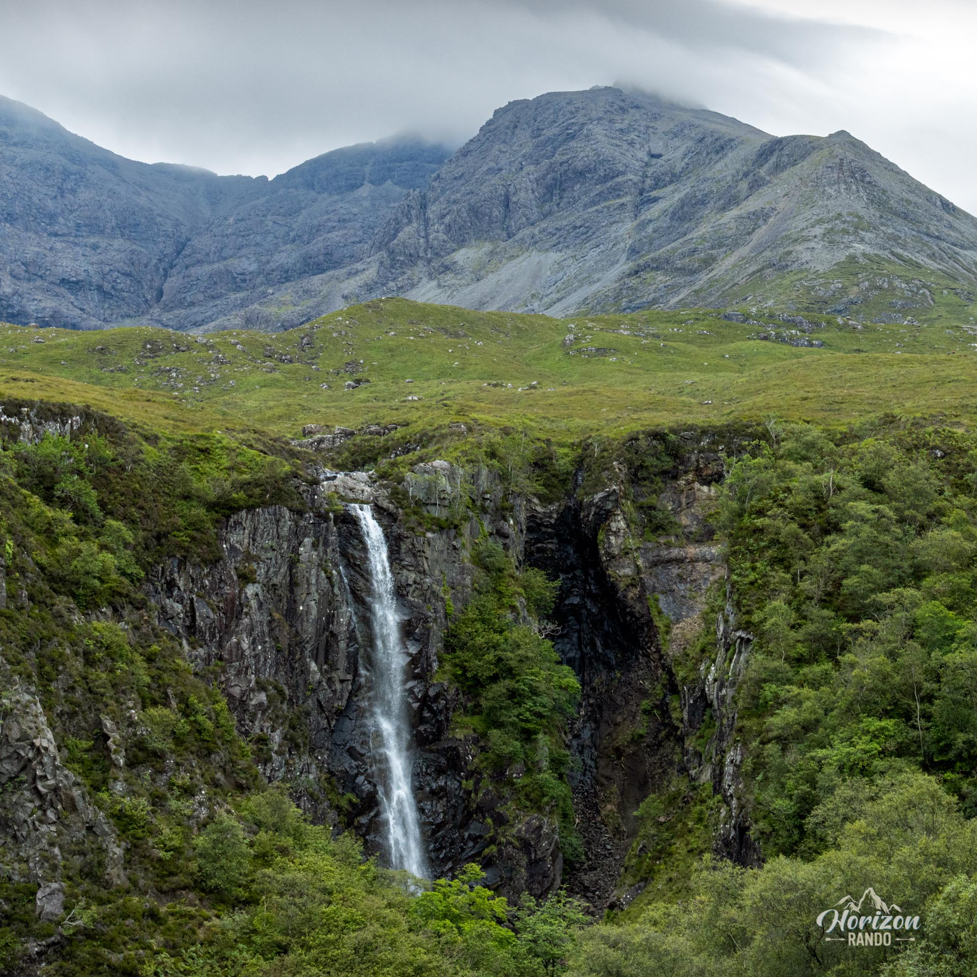
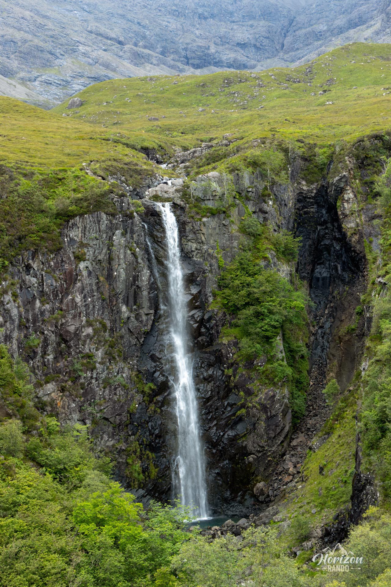
- Eas Mòr Waterfall: During the ascent, you will discover this impressive 40-meter waterfall plunging into a narrow gorge with the Black Cuillins as a backdrop.
Practical information
Parking
Parking is limited at the Glen Brittle entrance (only a few spaces). If it is full, there is a larger parking lot about 1 km further along the road, just before the campsite.
Direction of the route
I recommend doing the loop clockwise (turn left after Eas Mòr) for an easier descent.
Navigation
A GPS or detailed map and a good sense of direction are essential for this hike, especially in the upper section.
Photos
See all 25 photos →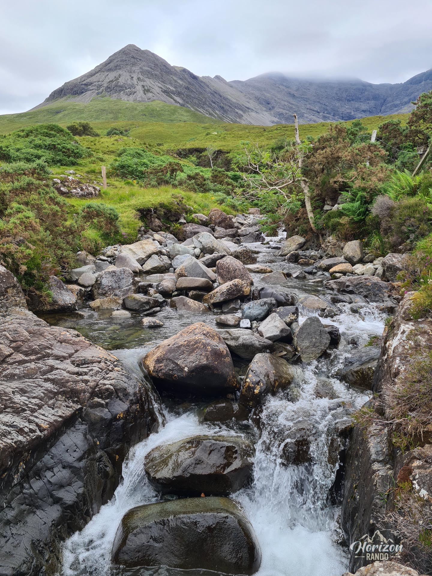
More hikes to do in Scotland
Nearby hikes







Printed from www.horizonrando.fr/en/scotland/sgurr-dearg/