





Preshal Hills Hike
Key facts about the hike
- Difficulty
- Hard Hikes are rated from very easy to very hard: my difficulty scale
- Duration
- 5h Estimated time, short breaks included (photos, water, snacks), picnic not included: how it is calculated
- Distance
- 11.9km
- Elevation gain
- 610m
- Type of route
- Loop
- Maximum altitude
- 347 m
- Vertiginous Five levels, depending on how exposed the route is: the levels in detail
- Slightly
- Marked
- No
- Popularity
- Very low
- Region
- Isle of Skye
- Start point
- 57.28876, -6.43467
- Activity
- Hiking
Hike overview
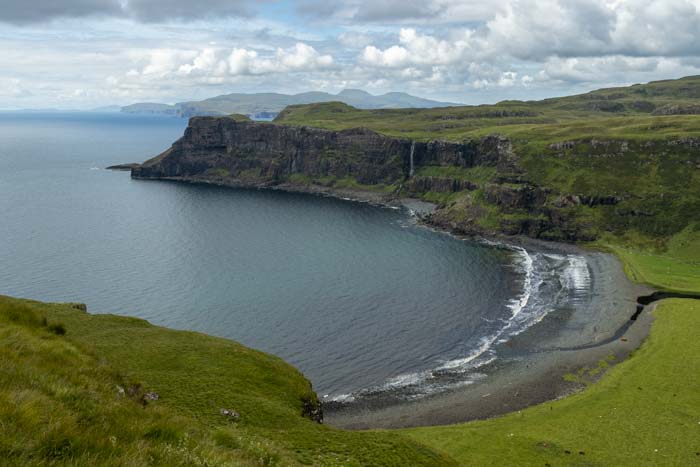
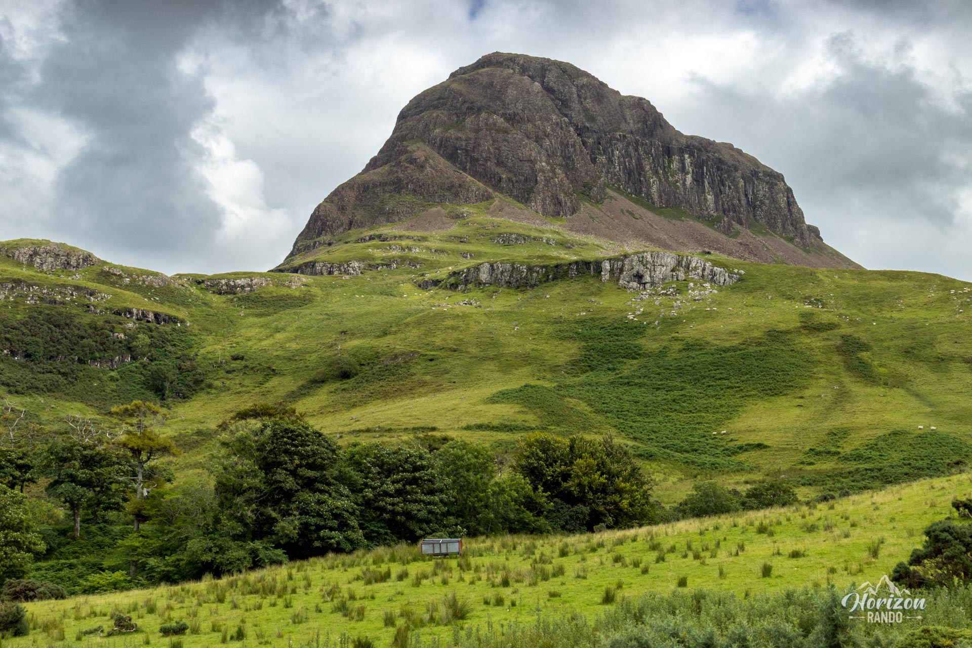
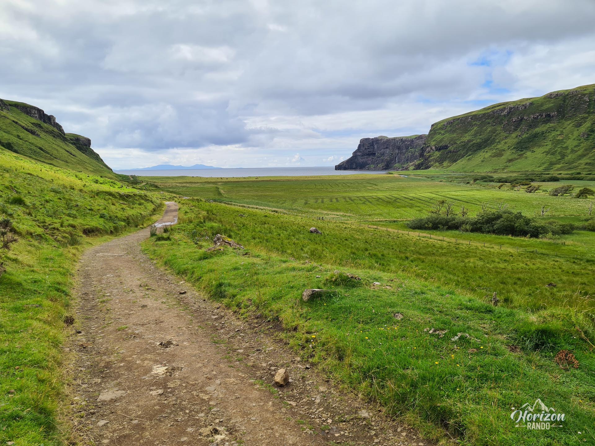
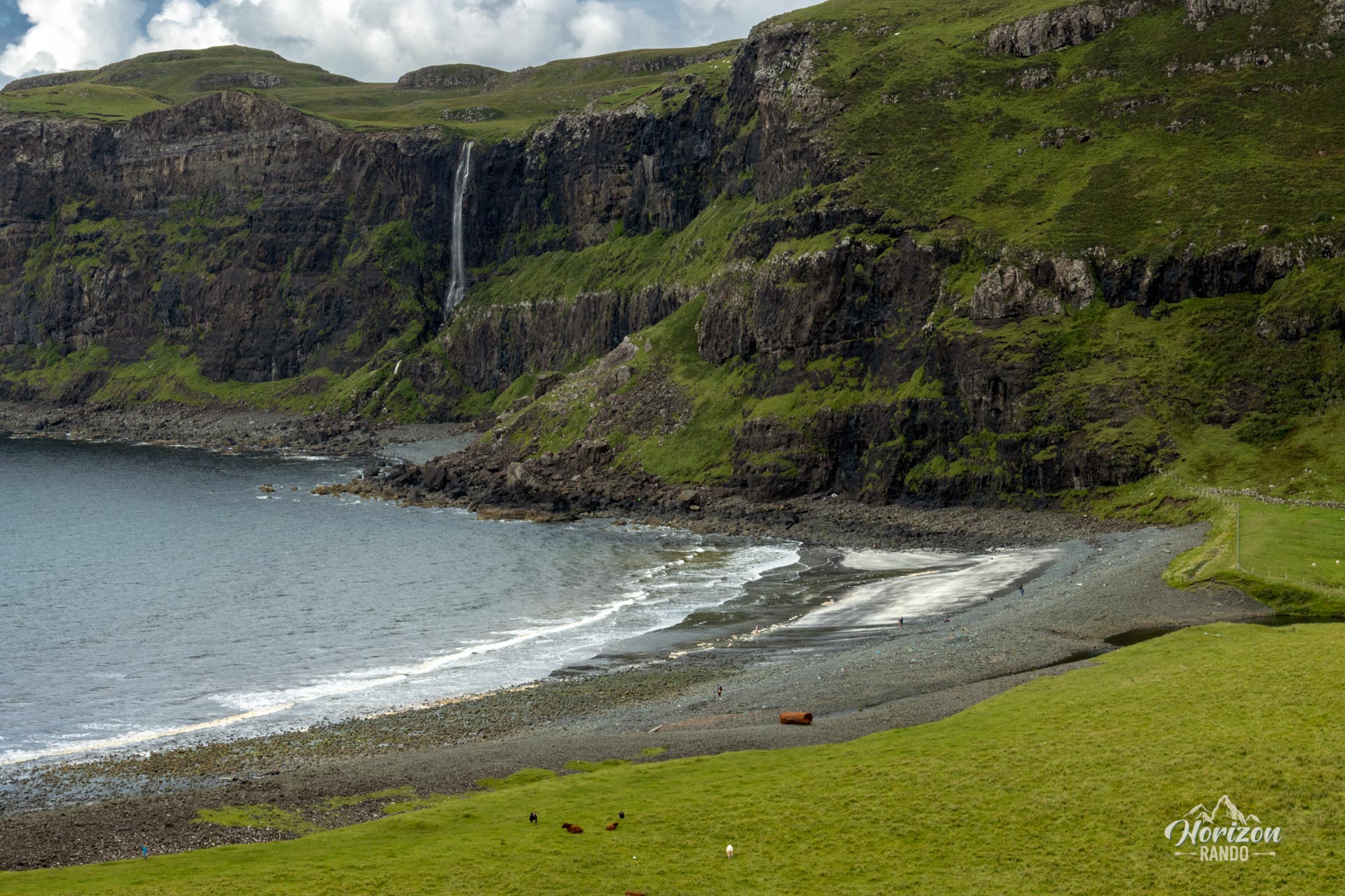
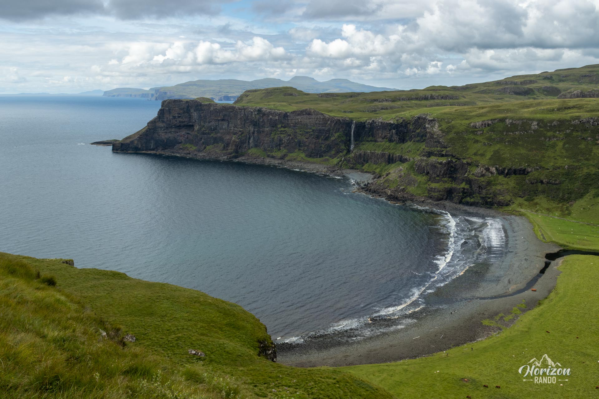
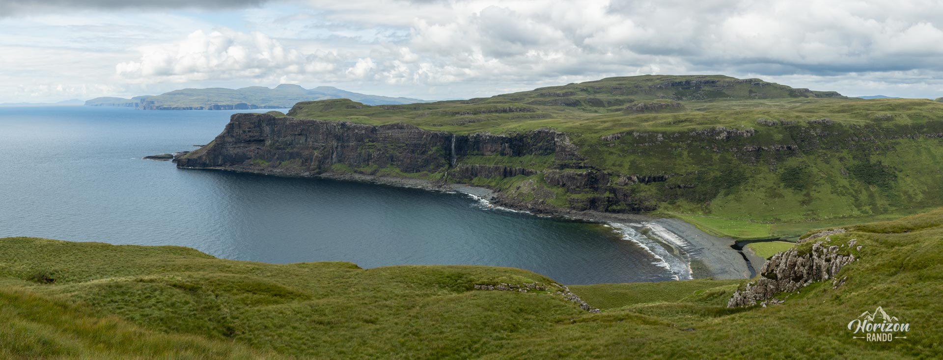
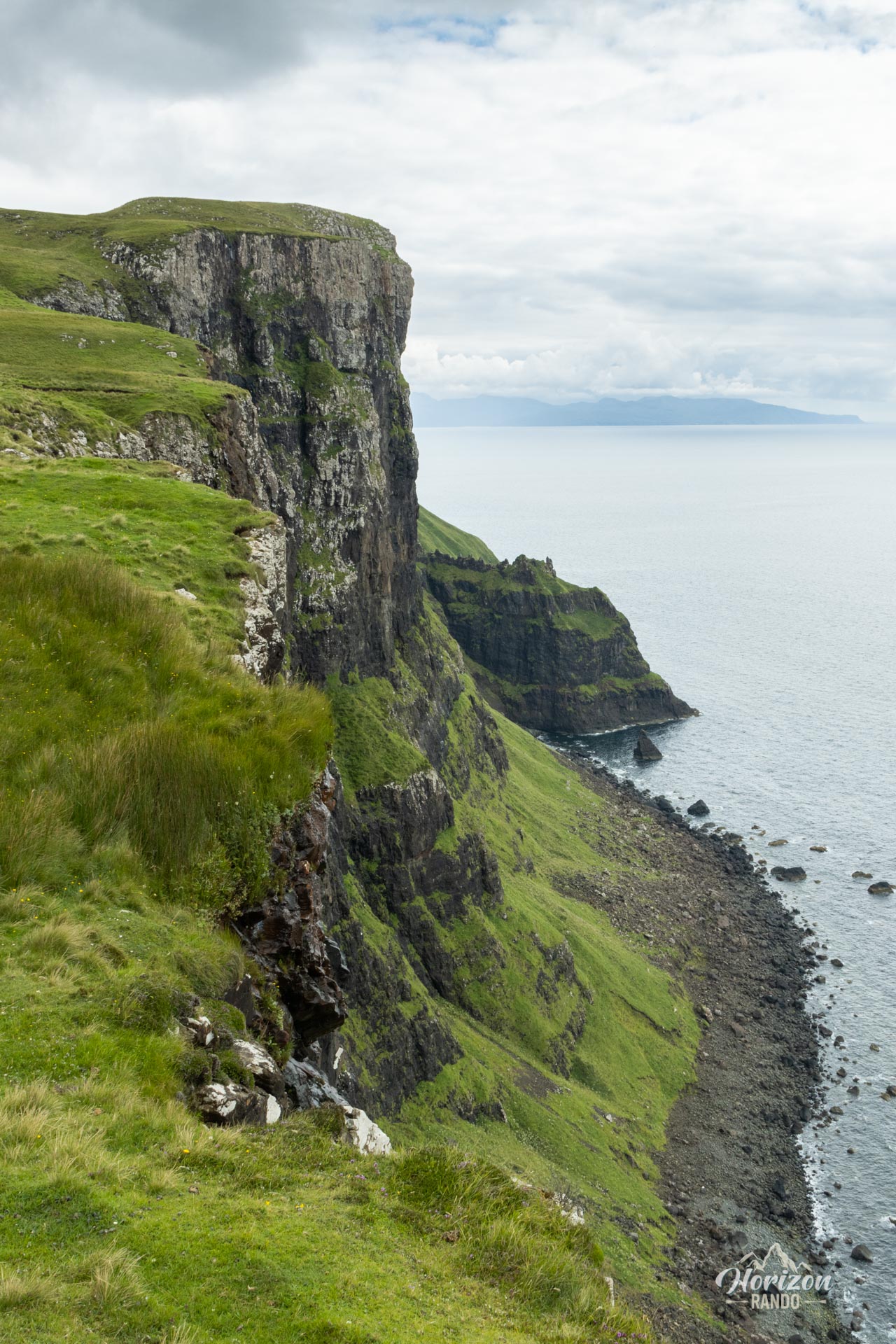
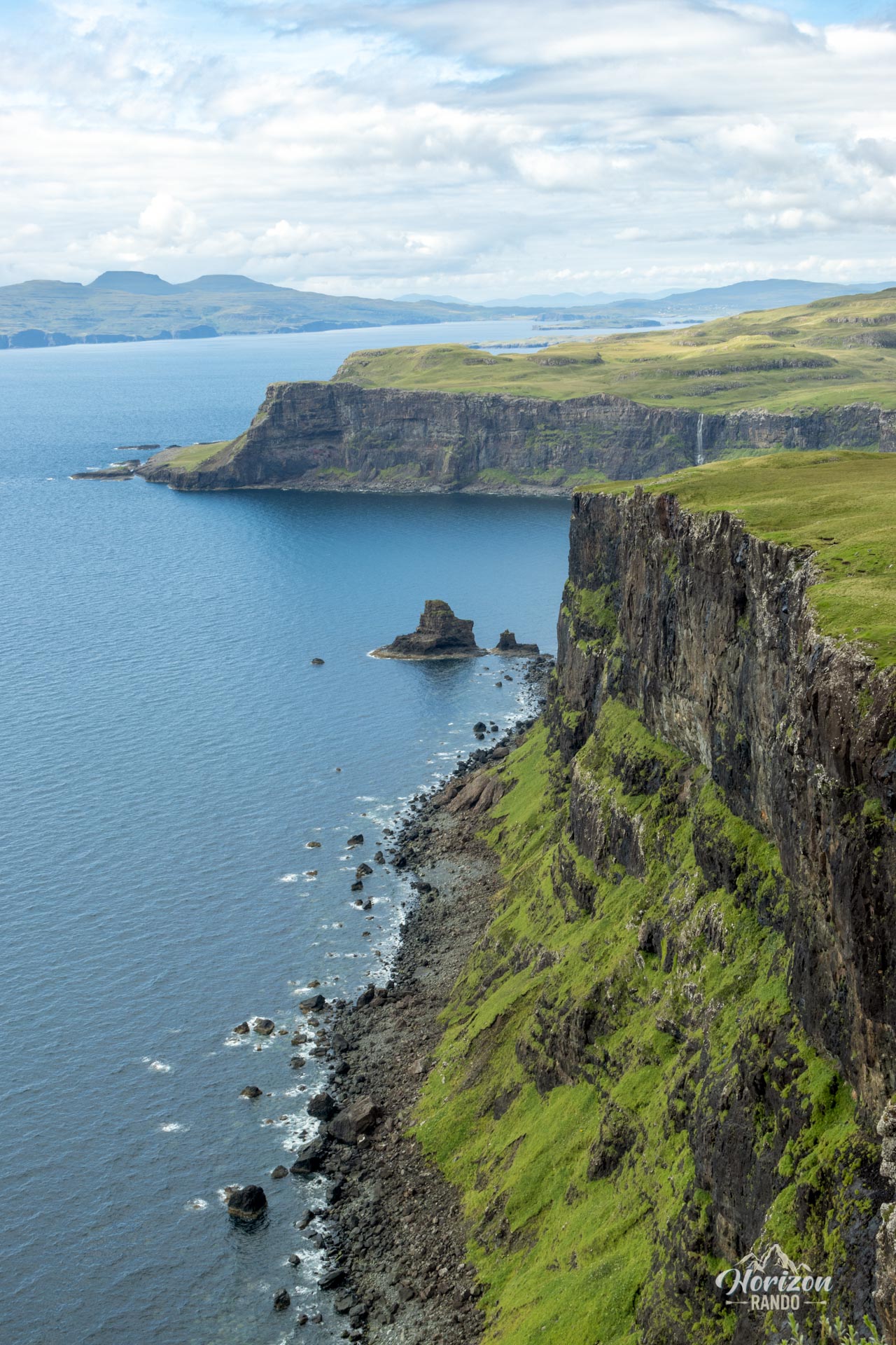
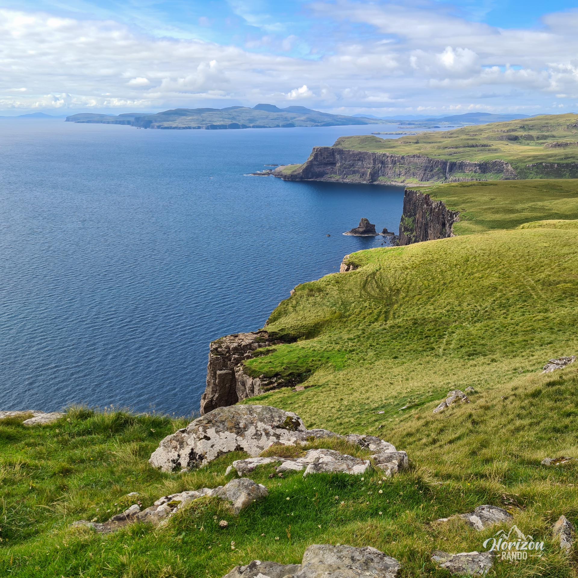
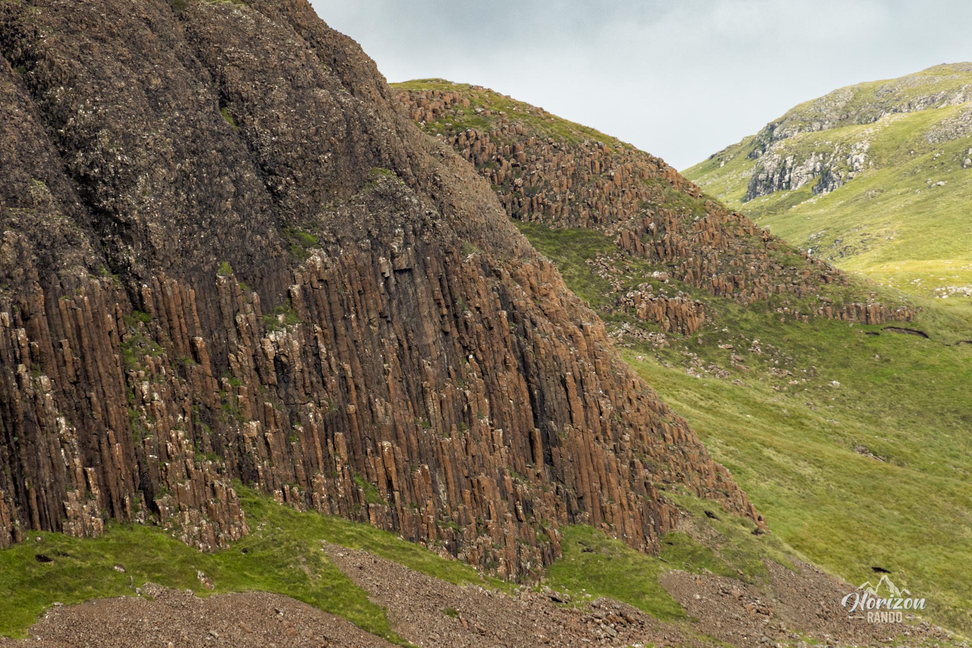
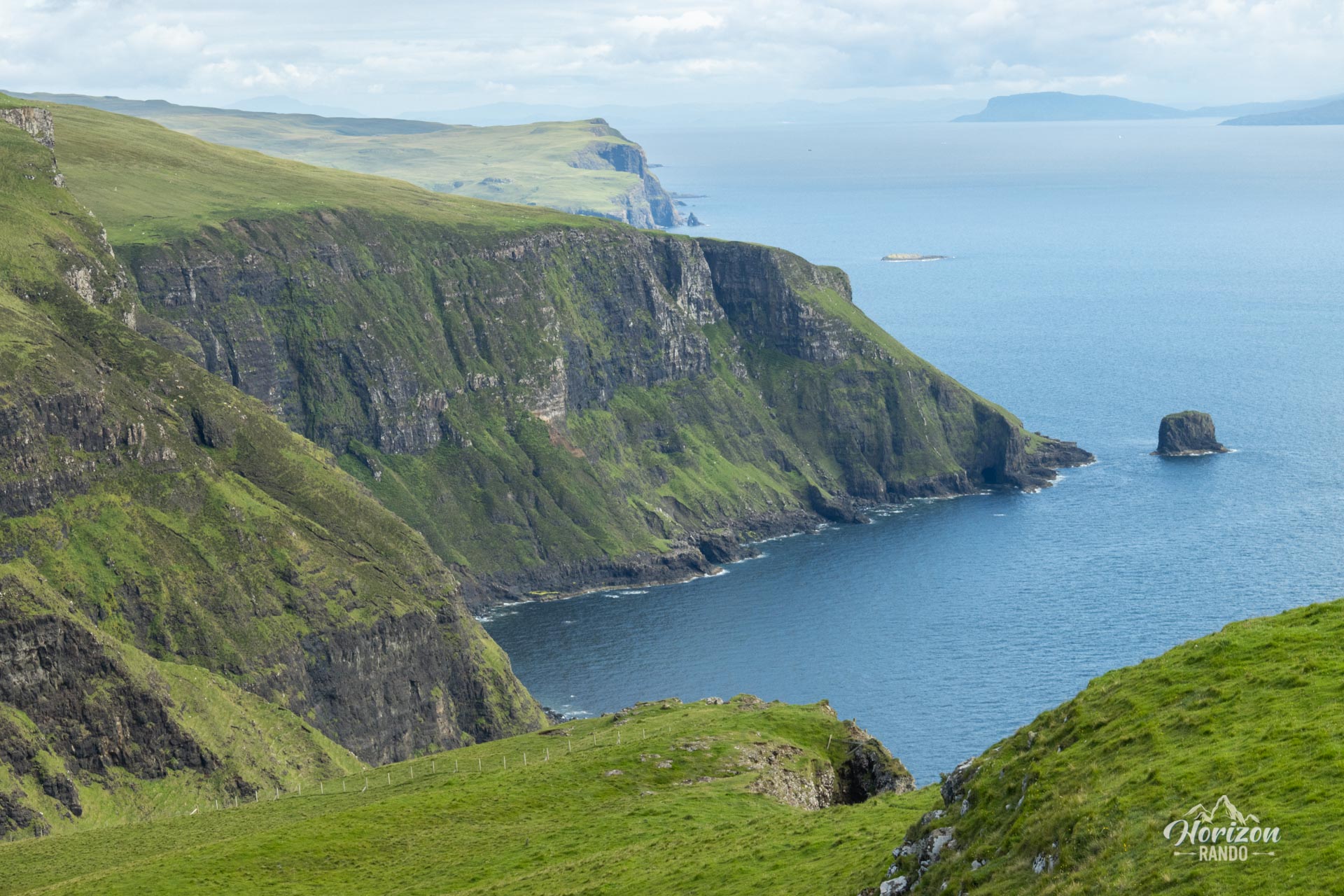
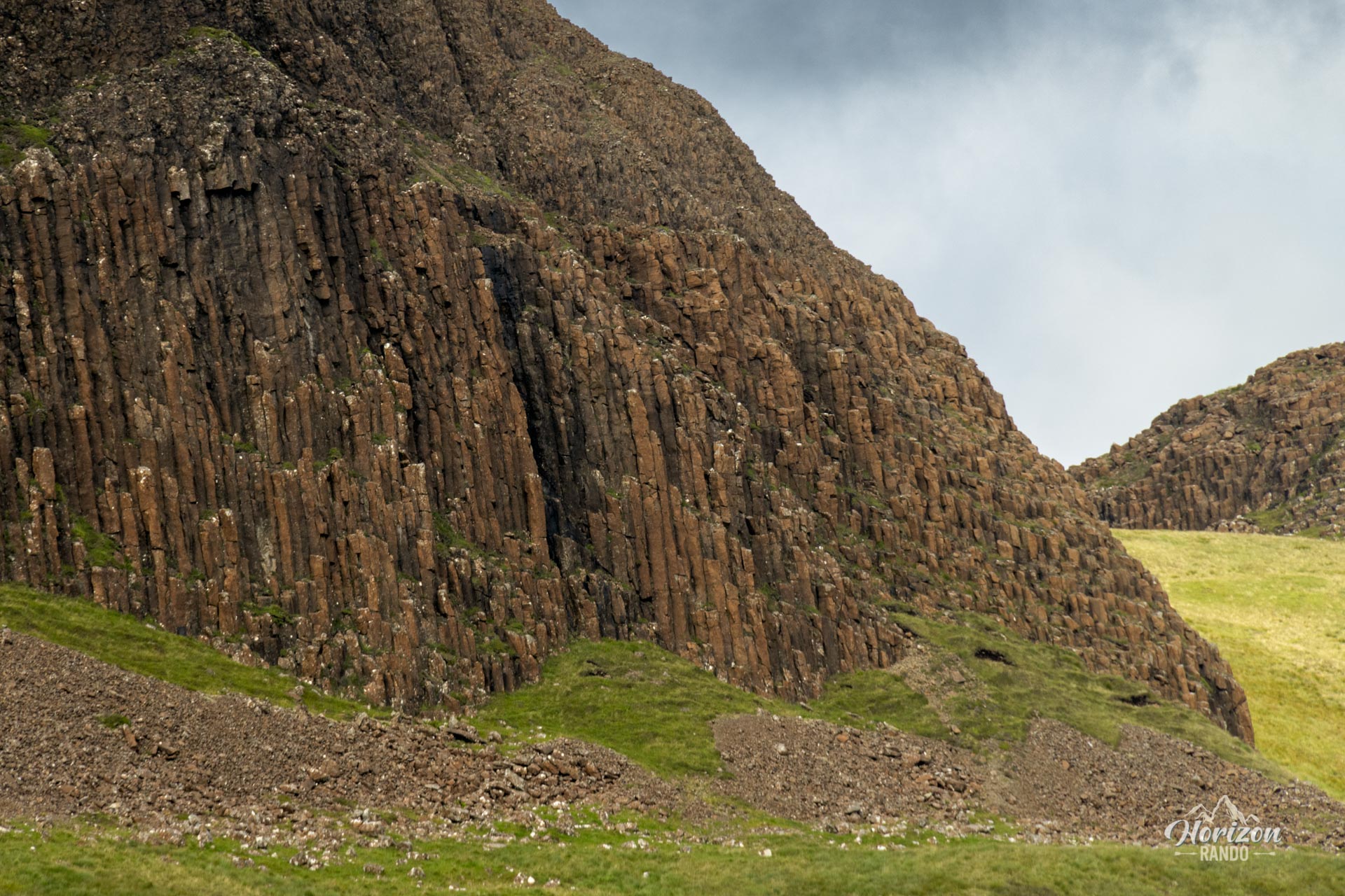
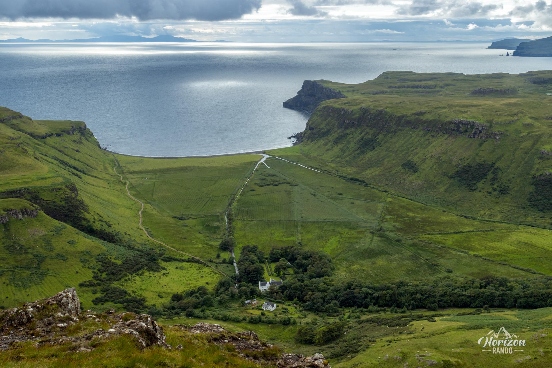
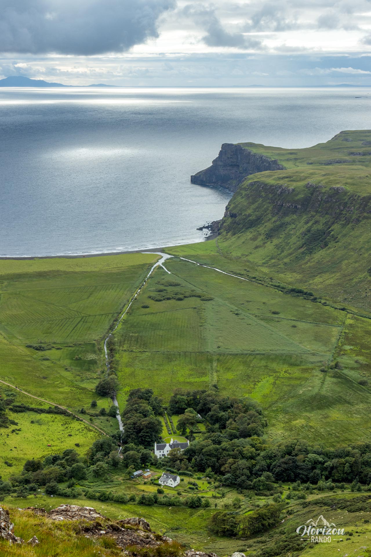
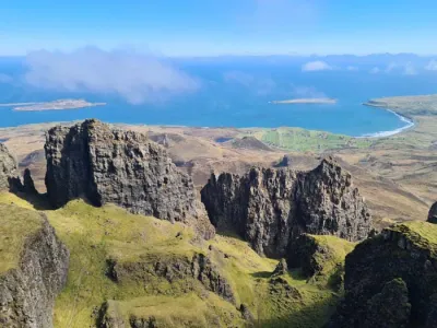
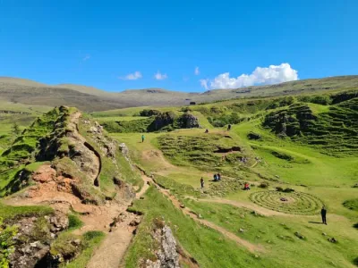
The Preshal Hills are a fascinating geological curiosity with organ pipe-like basalt columns. Located near the stunning Talisker Bay on the Isle of Skye, this route winds through untouched coastal landscapes, dominated by the towering Biod Ruadh cliffs, which soar nearly 280 meters above sea level.
Though the elevation gain is modest, the route requires considerable physical effort due to the lack of trails and often marshy terrain. This little-traveled hike allows you to discover a different side of the Isle of Skye, far from the usual tourist crowds.
Map and elevation profile of the hike
Preshal Hills Hike
Description and difficulties of the hike
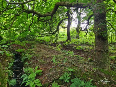
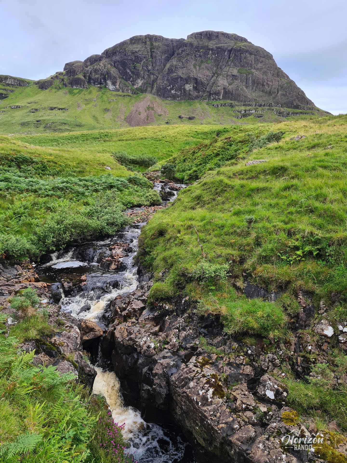
Though the elevation gain is moderate (around 600 meters), this hike requires considerable effort due to the difficult terrain. The route is mostly off-trail and crosses marshy moorland dotted with tall grasses and peat bogs, which makes progress slow and tiring. Wear waterproof shoes to avoid getting wet feet.
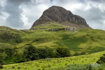
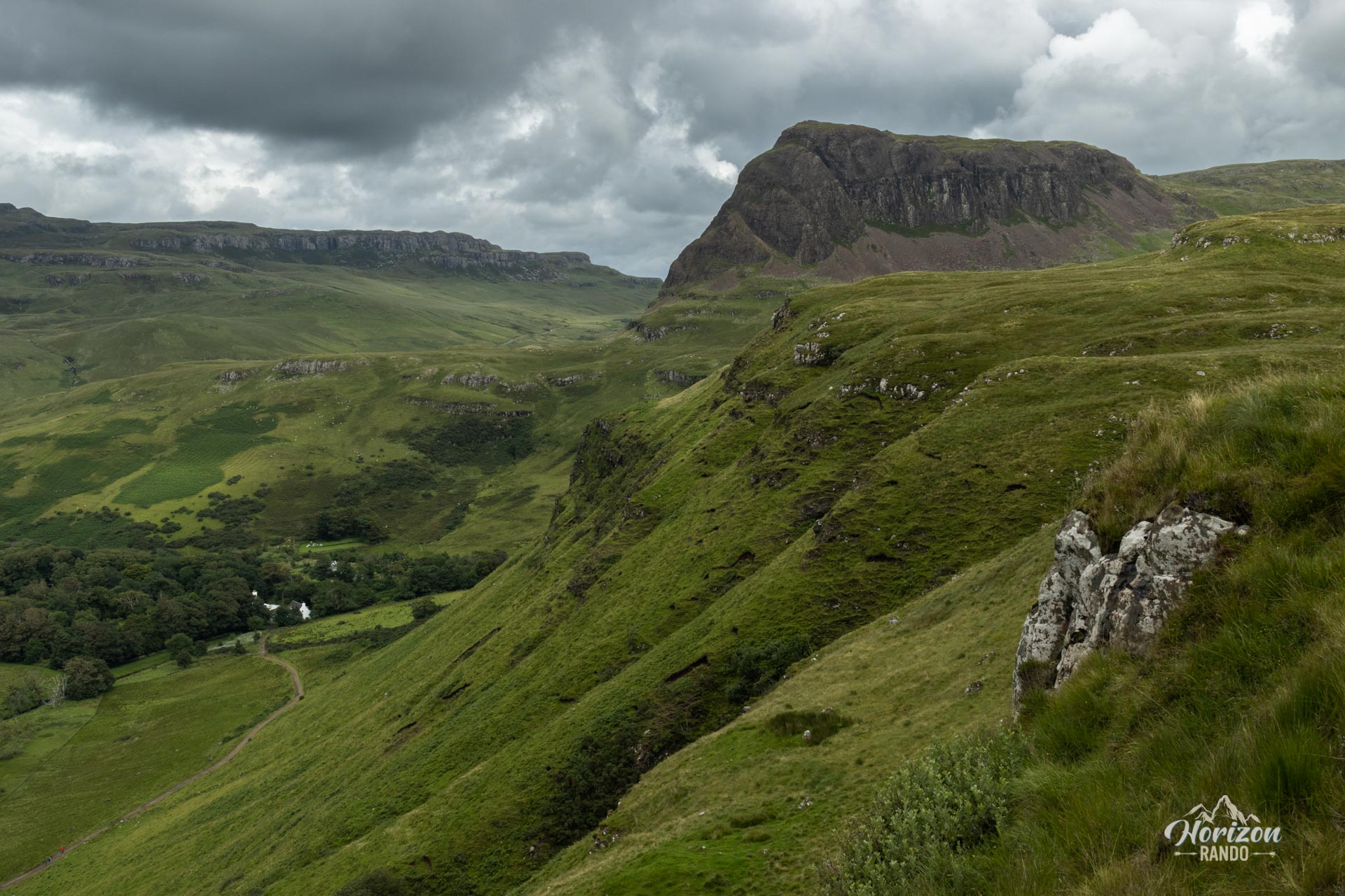
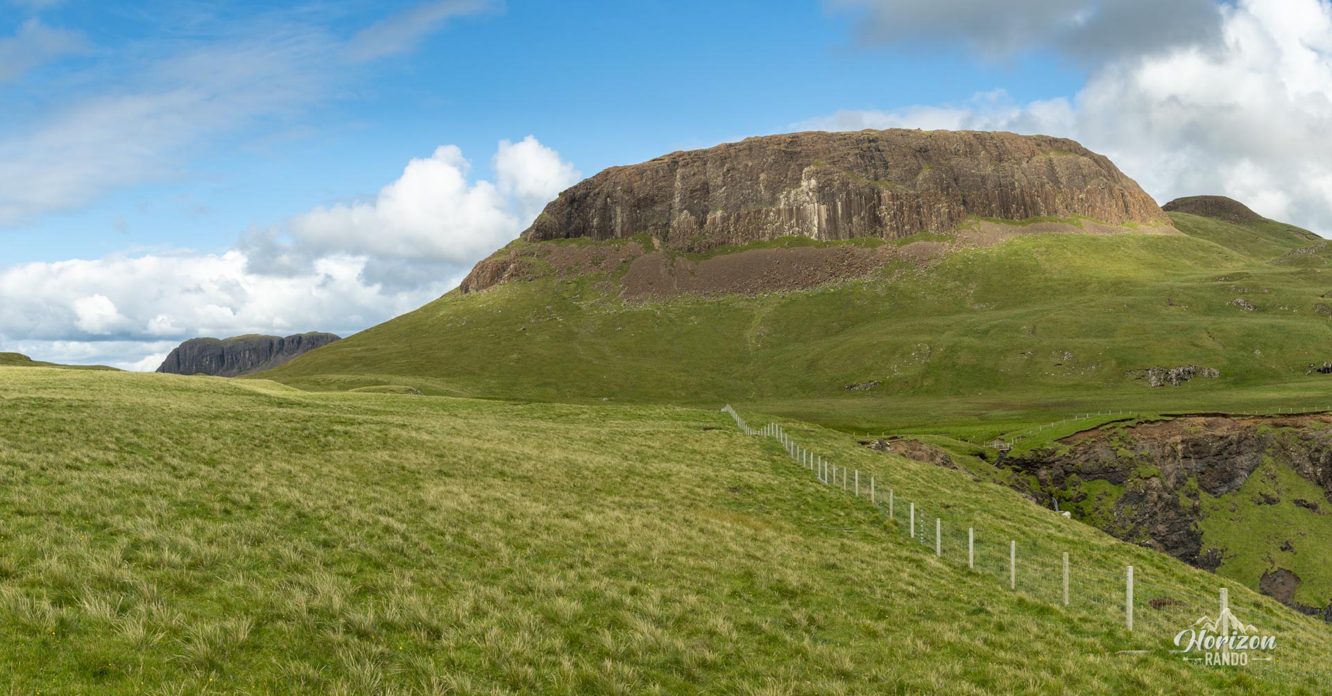
The initial climb to the top of the cliffs and the descent from Preshal More (317 m), although steep, are not very difficult if you take a few switchbacks. To reach the summit of Preshal Beg (345 meters), you must go around the hill on its southeast side because steep cliffs block access from other directions.
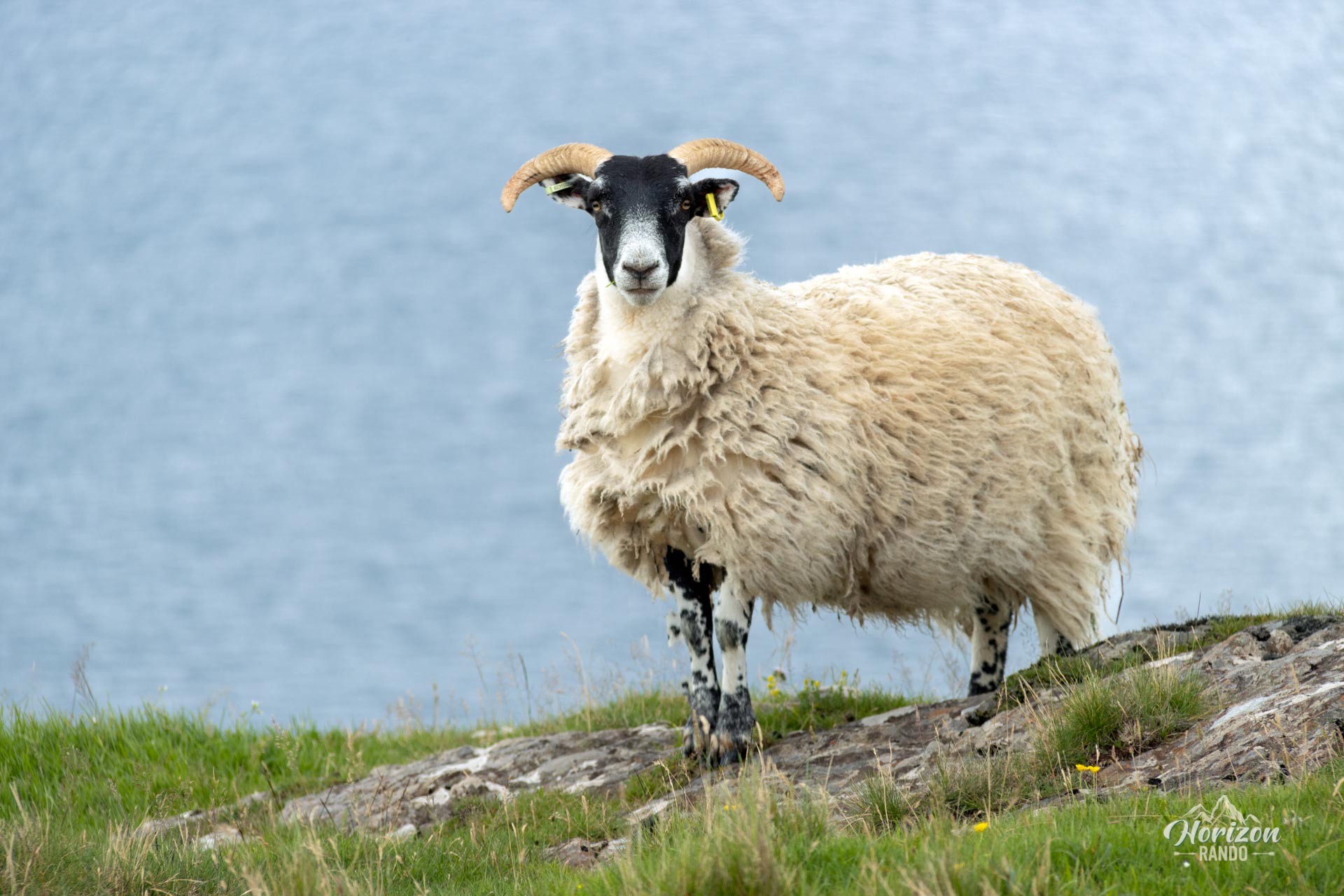
The lack of markings and well-defined trails requires a good sense of direction or the use of a GPS. You will mainly follow sporadic tracks and sheep trails.
What you'll love
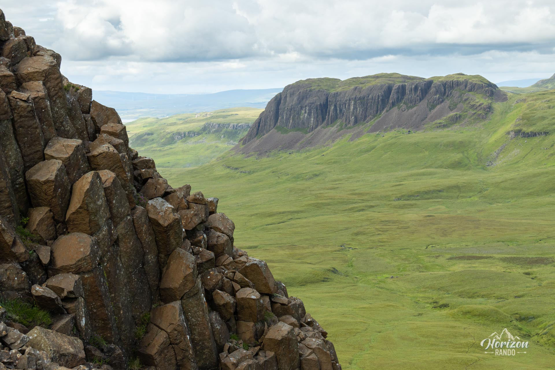
- The hexagonal basalt columns that form the bases of Preshal Beg and Preshal More—a unique and fascinating geological spectacle.
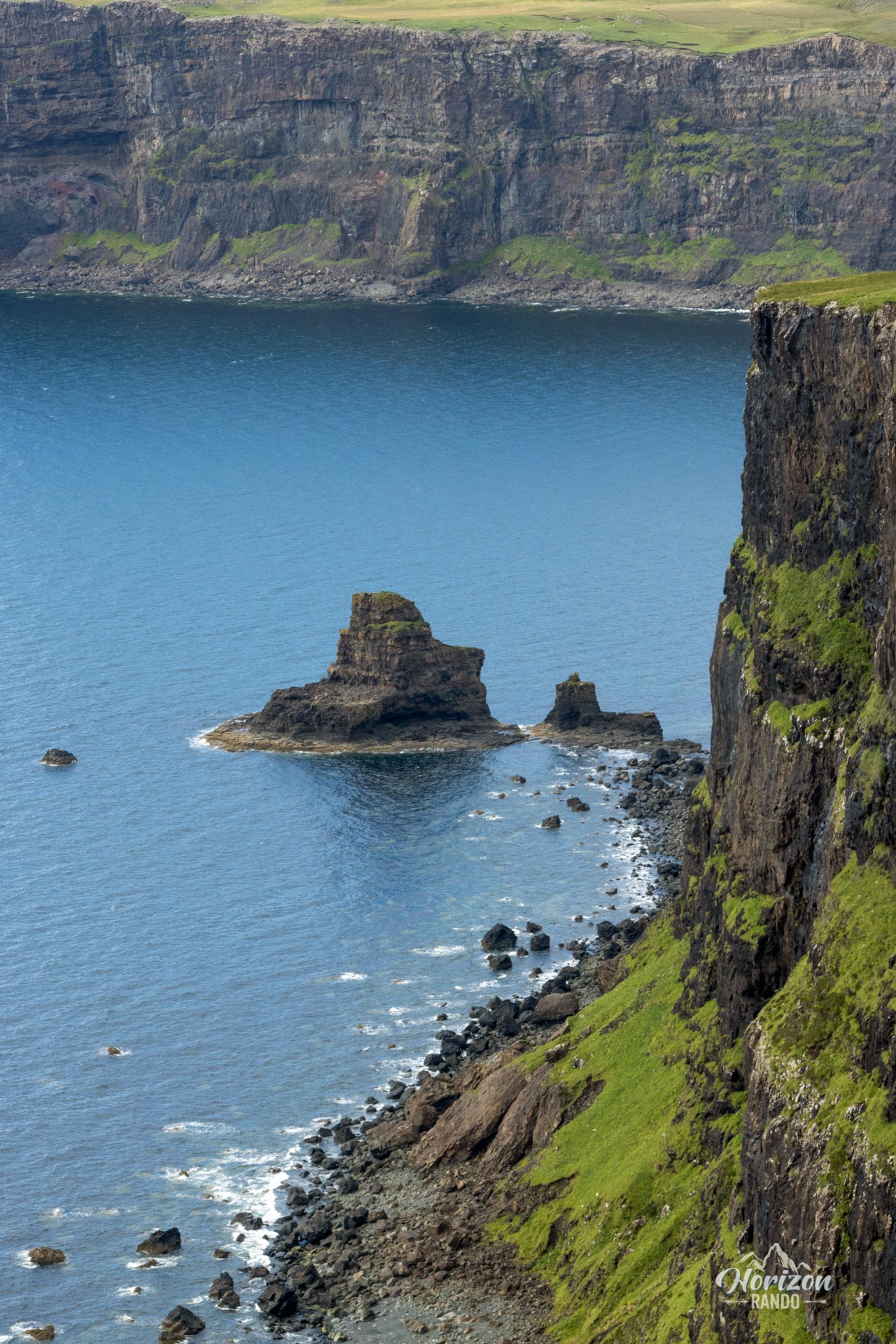
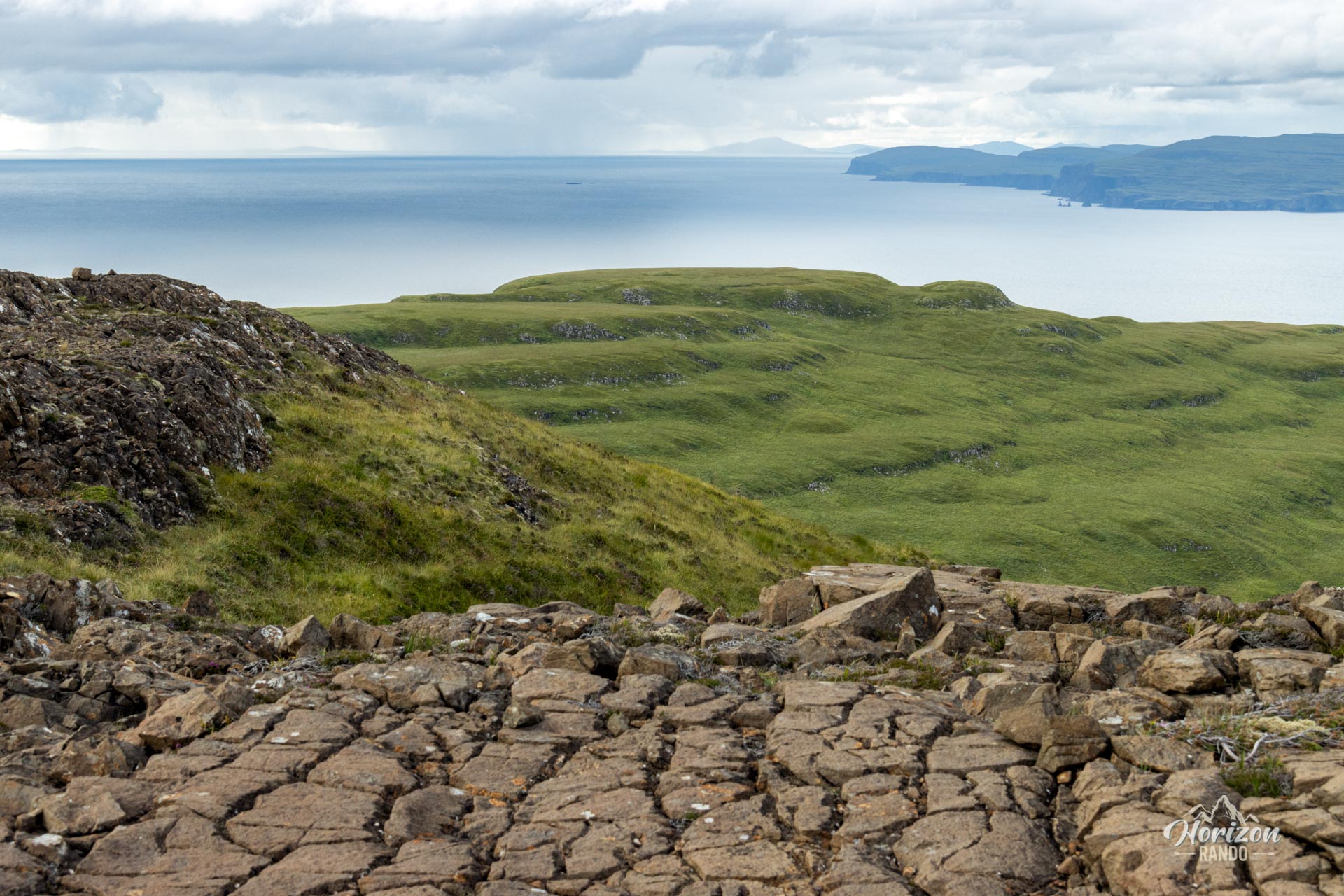
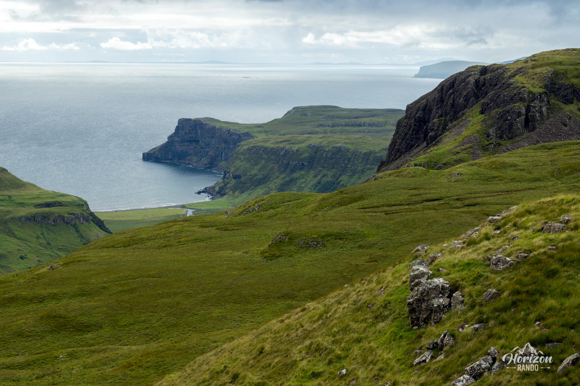
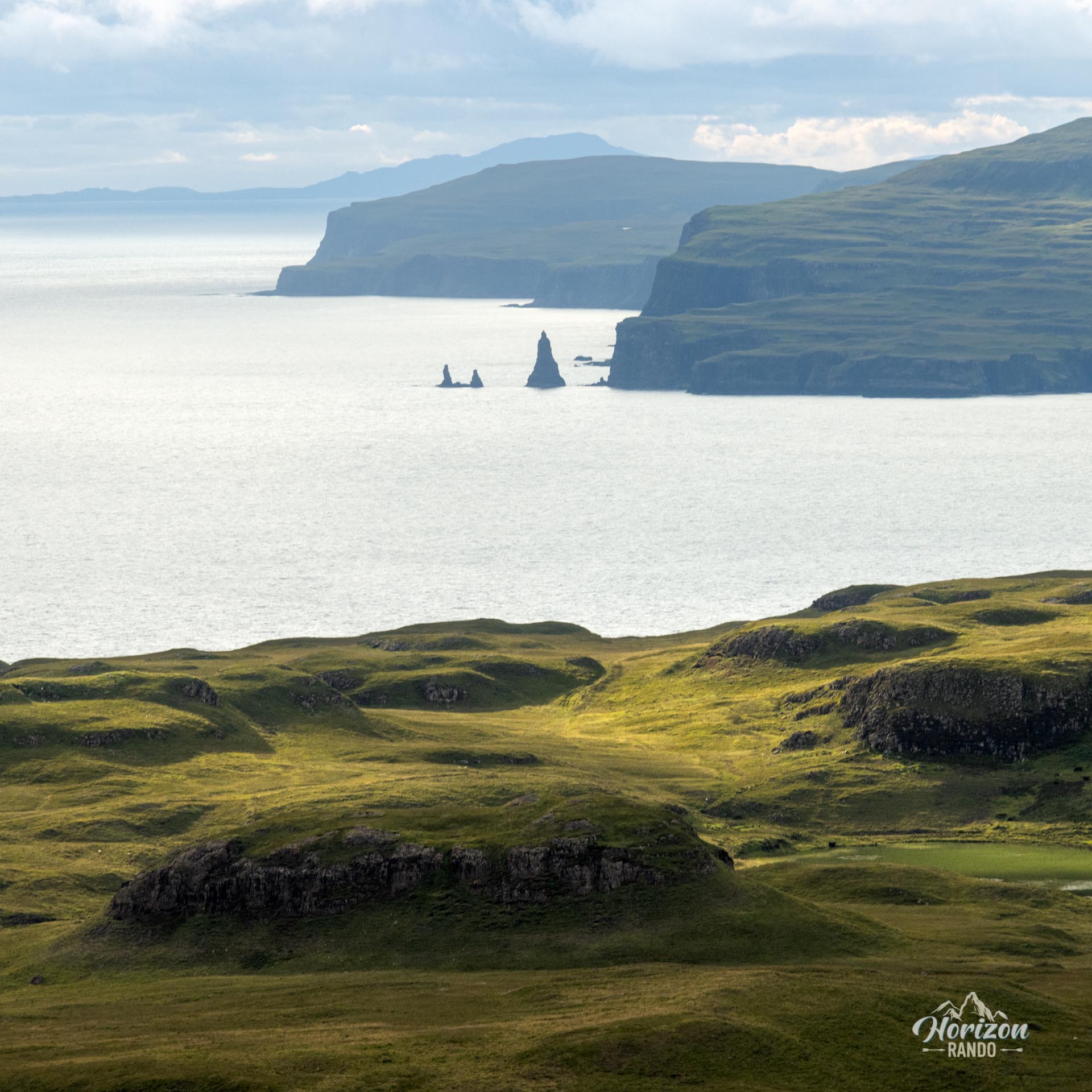
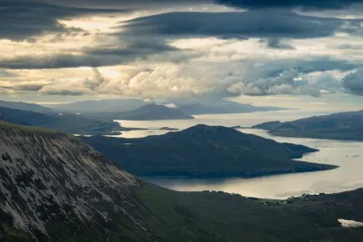
- The extraordinary views of the Isle of Skye coastline with its imposing cliffs overlooking the sea.
- The wild and unspoiled atmosphere guarantees total immersion in nature, far from tourist trails.
Practical information
Parking
There is a small, free parking lot with only a few spaces at the end of the road leading to Talisker.
Short Option
The first part of the hike, up to Preshal Beg, is the most beautiful section. If you are short on time, you can return to Talisker by taking the same route as on the way there or cutting directly to the point where you reached the top of the cliffs.
Navigation
GPS or good navigational skills are essential as the route is unmarked and mostly off-trail.
Photos
See all 24 photos →
More hikes to do in Scotland
Nearby hikes












Printed from www.horizonrando.fr/en/scotland/preshal-hills/