






Shieldaig Hike
Key facts about the hike
- Difficulty
- Very easy Hikes are rated from very easy to very hard: my difficulty scale
- Duration
- 1h30 Estimated time, short breaks included (photos, water, snacks), picnic not included: how it is calculated
- Distance
- 4.7km
- Elevation gain
- 180m
- Type of route
- Loop
- Maximum altitude
- 45 m
- Vertiginous Five levels, depending on how exposed the route is: the levels in detail
- No
- Marked
- No
- Popularity
- Low
- Region
- Torridon
- Start point
- 57.52522, -5.64907
- Activity
- Hiking
Hike overview
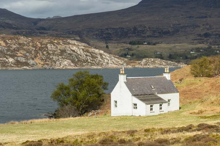
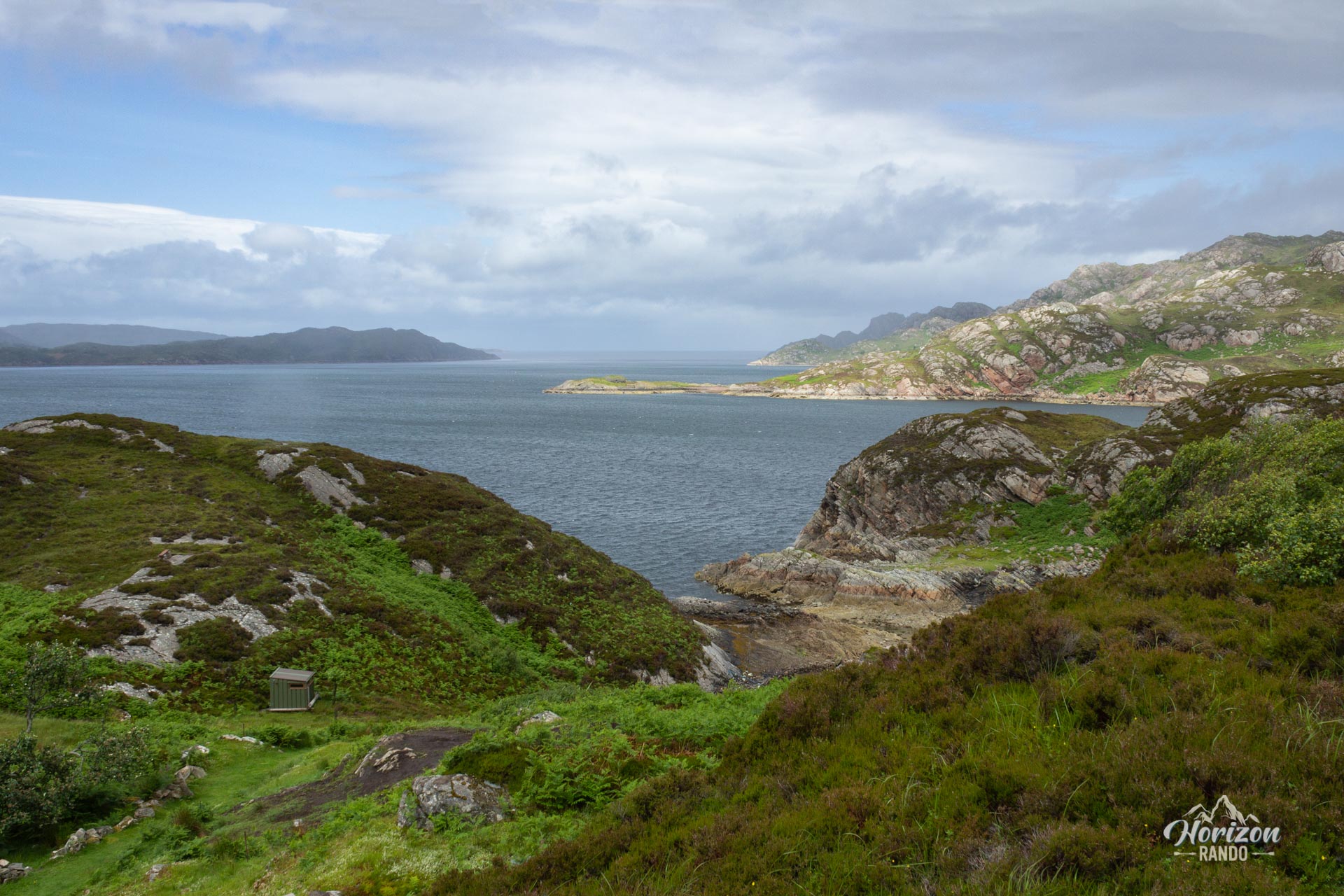
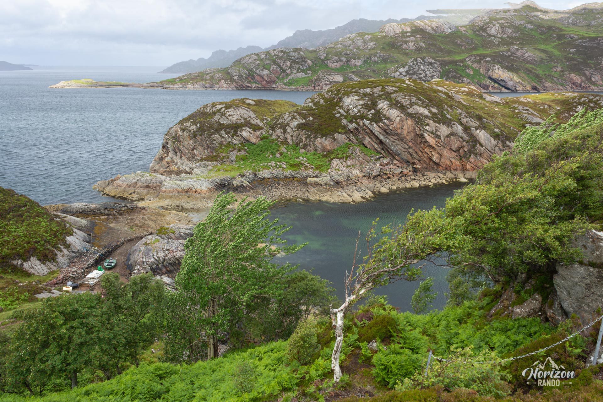
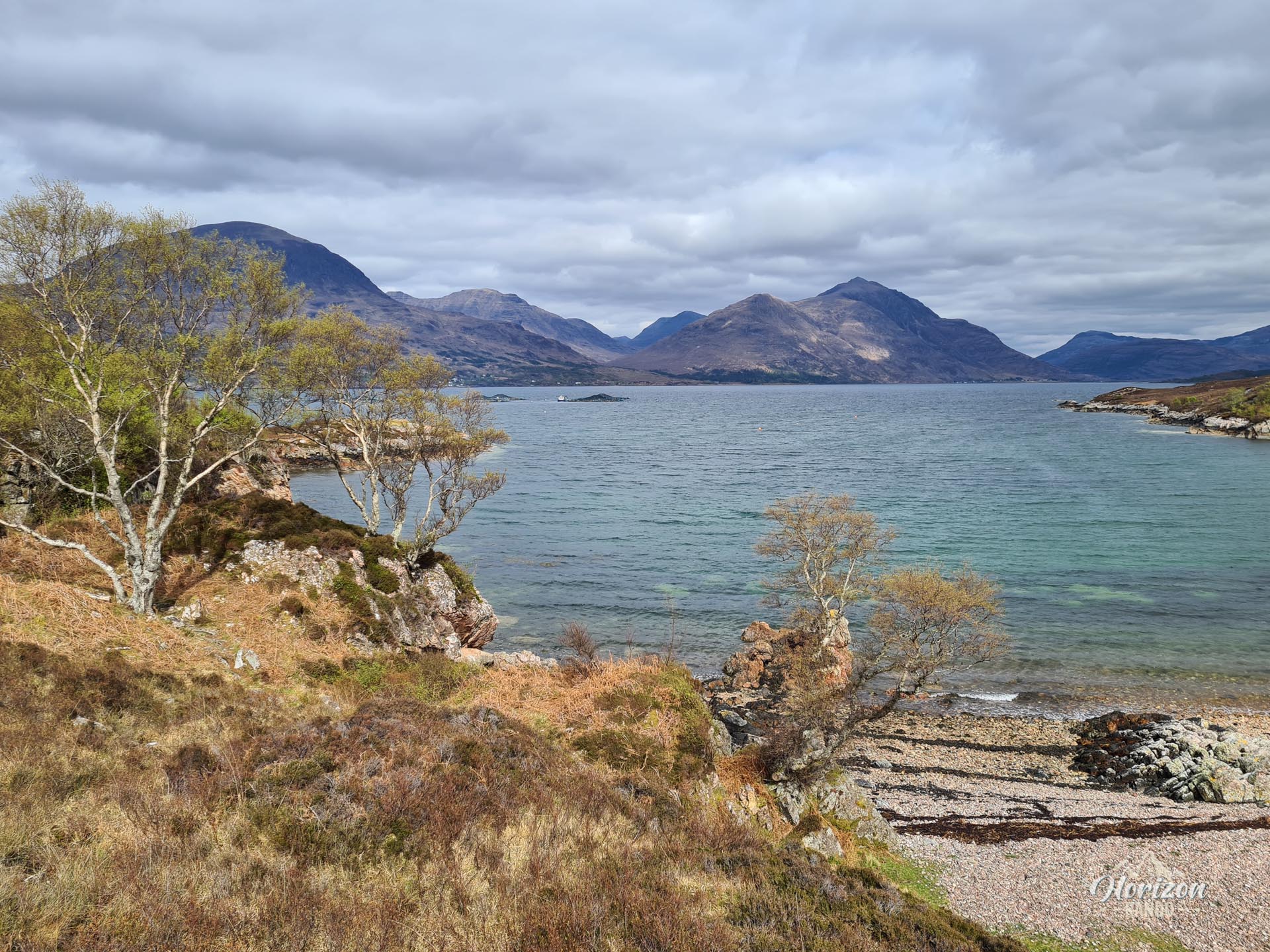
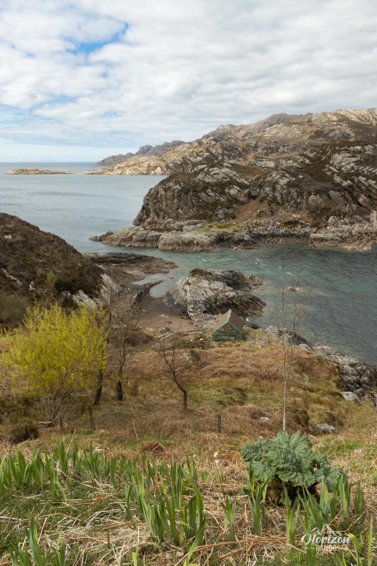
The Shieldaig hike is an ideal family getaway on the picturesque An Aird Peninsula, which extends into Loch Torridon. Starting from the charming fishing village of Shieldaig, this circular route takes you through varied coastal landscapes: pebble beaches, flowering peat bogs, and birch woods follow one another harmoniously.
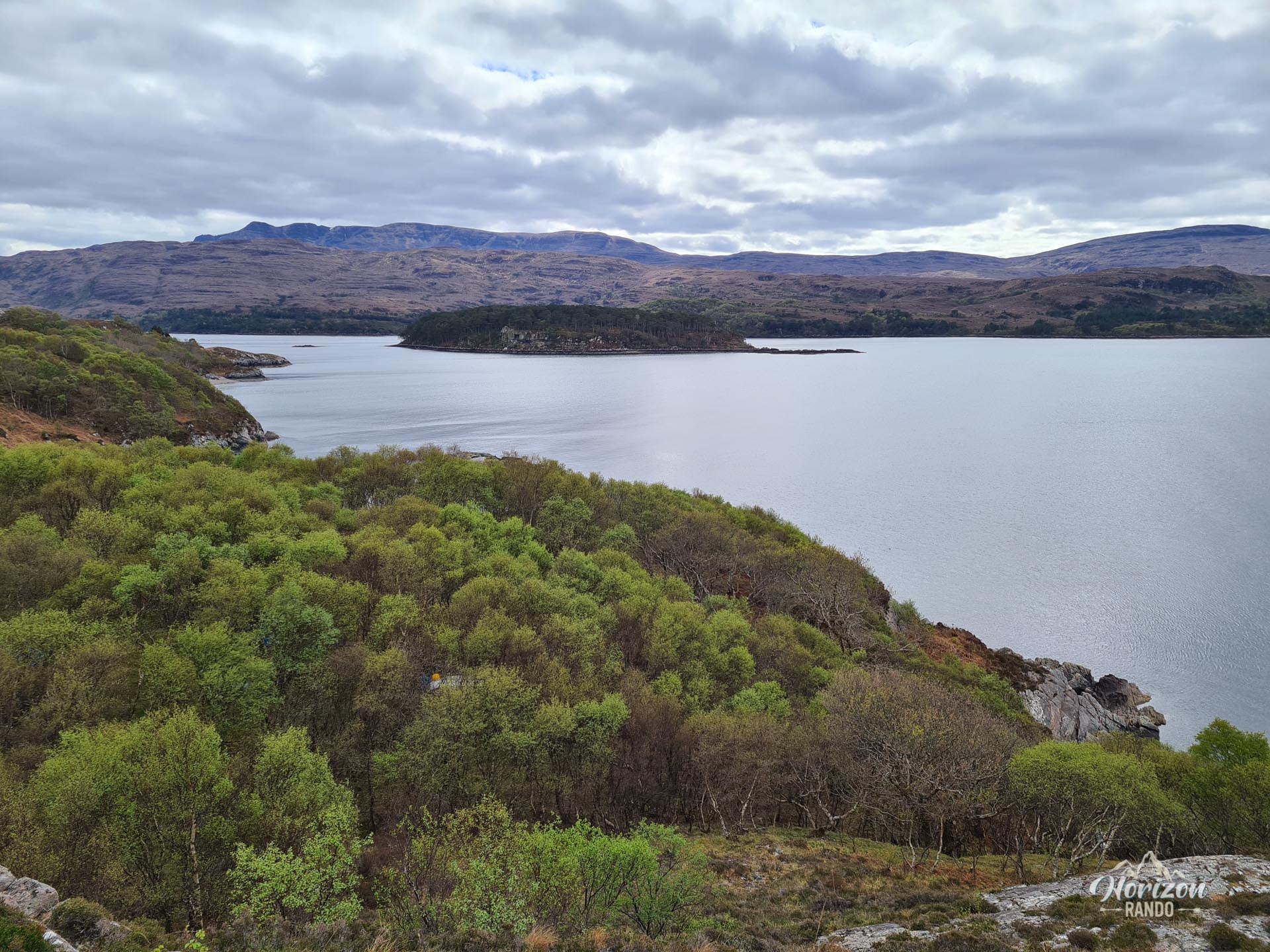
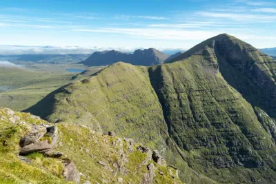
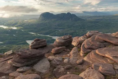
Along the way, you'll enjoy spectacular views of the iconic Torridon peaks (Beinn Alligin, Beinn Dearg, and Liathach), the loch waters, and Shieldaig Island, which is home to a thriving bird population.
Map and elevation profile of the hike
Shieldaig Hike
Difficulties of the hike
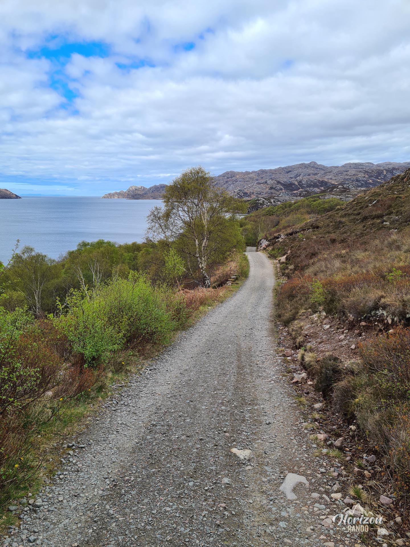
This route has no technical difficulties and is ideal for families. Although the trail is not marked, it remains clearly visible throughout.
What you'll love
- The remarkable views of Loch Torridon and the imposing mountains characteristic of the Torridon region.
- Observing the local wildlife: otters and seals in the loch's waters, herons on the shore, and white-tailed eagles that can be spotted above Shieldaig Island.
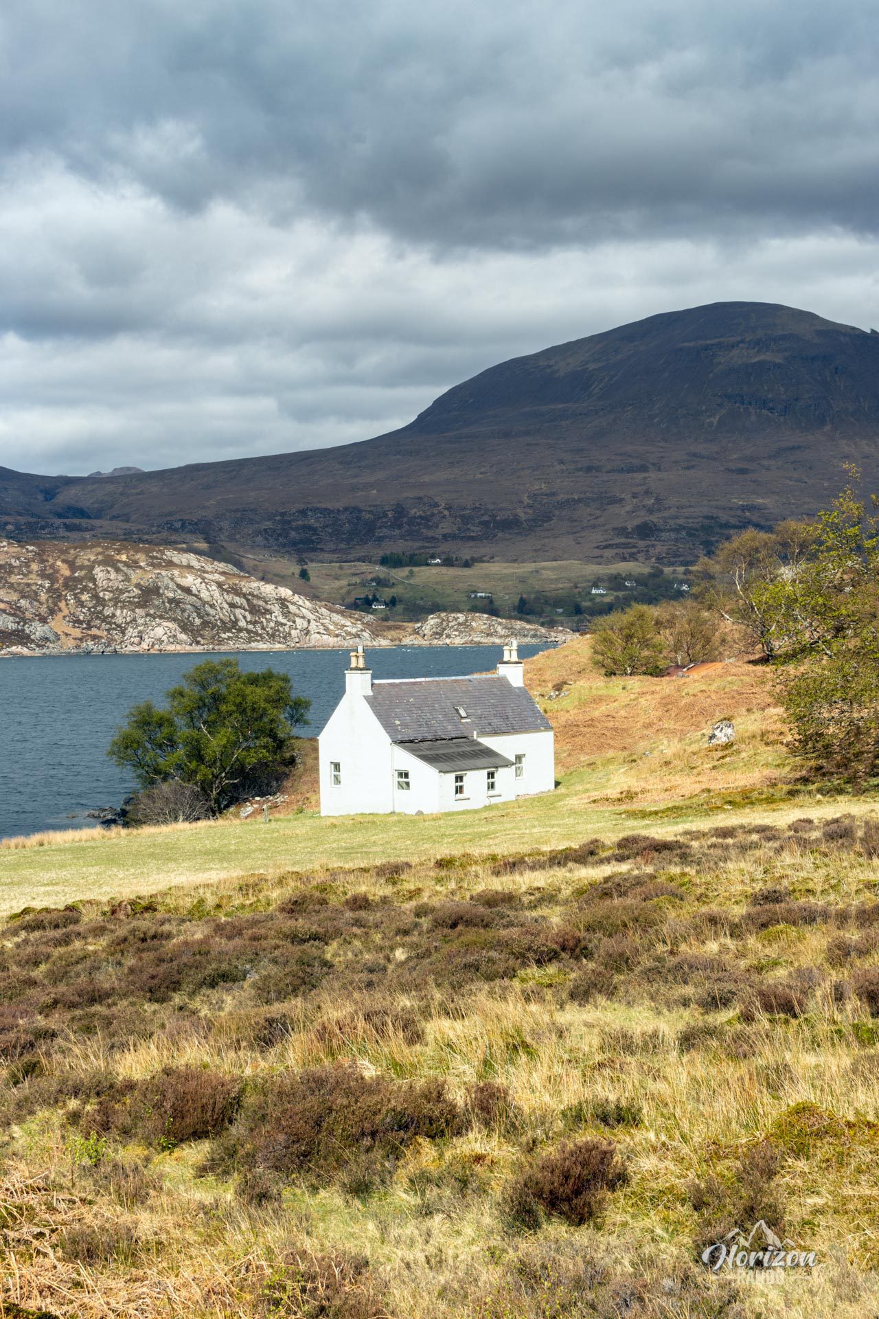
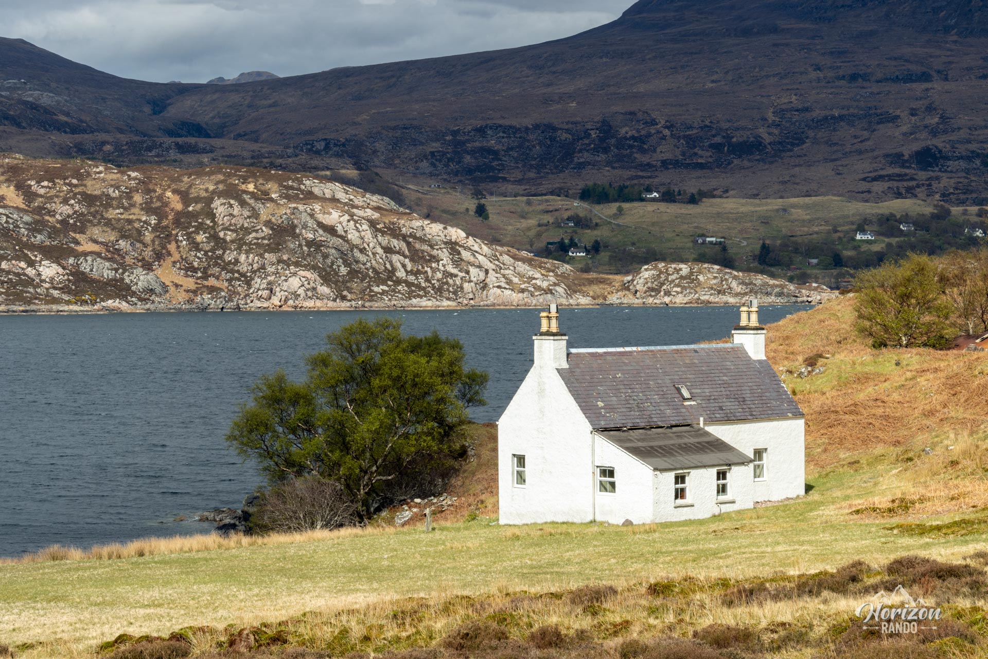
- The picturesque village of Shieldaig, with its white houses lined up facing the loch, is the ideal setting to end the hike with a refreshing break at the local pub.
Photos
See all 9 photos →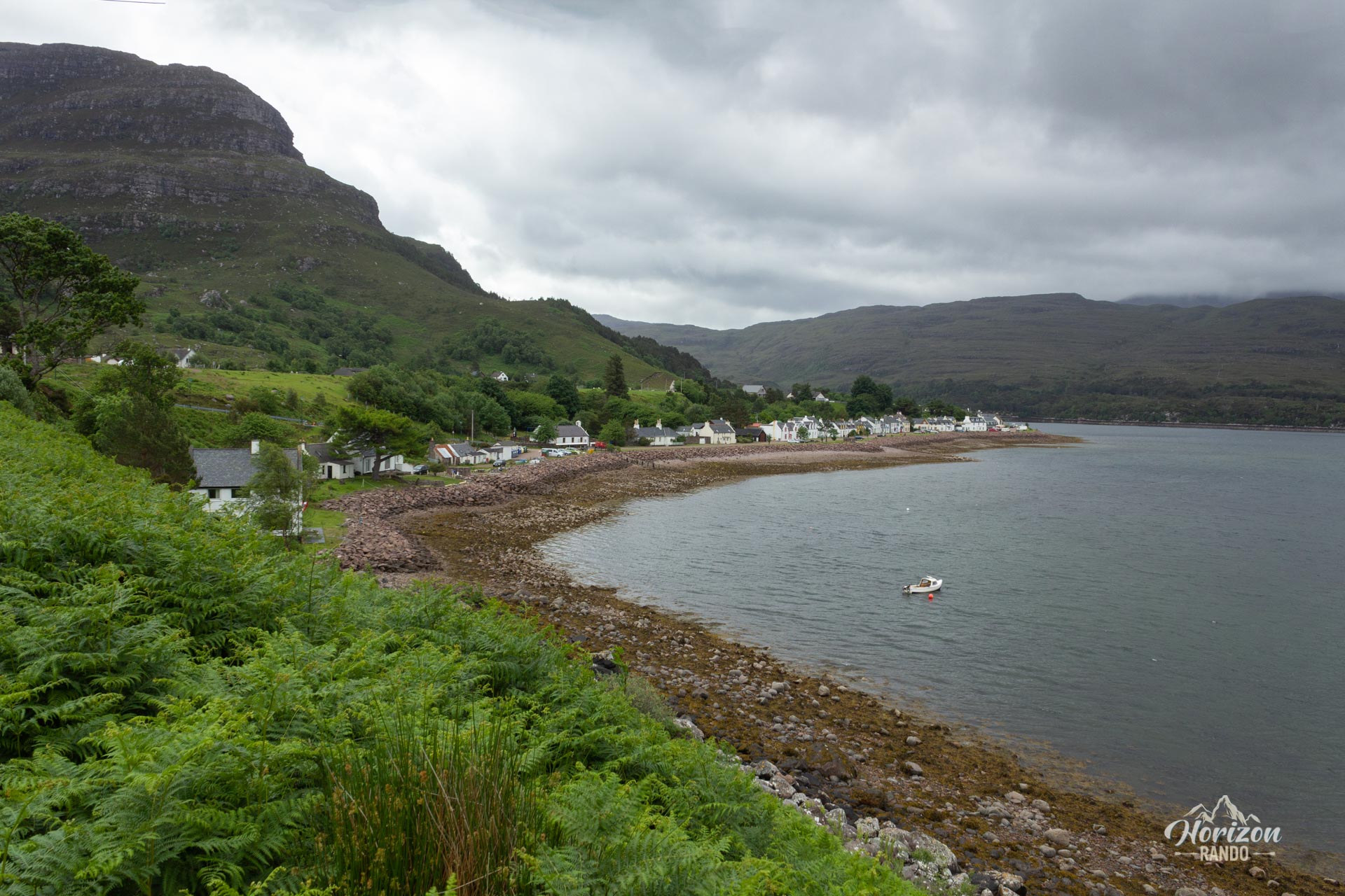
More hikes to do in Scotland
Nearby hikes










Printed from www.horizonrando.fr/en/scotland/shieldaig/