





Sgùrr a' Chaorachain Hike
Key facts about the hike
- Difficulty
- Moderate Hikes are rated from very easy to very hard: my difficulty scale
- Duration
- 2h15 Estimated time, short breaks included (photos, water, snacks), picnic not included: how it is calculated
- Distance
- 6.4km
- out and back
- Elevation gain
- 410m
- Type of route
- Out and back
- Maximum altitude
- 792 m
- Vertiginous Five levels, depending on how exposed the route is: the levels in detail
- Slightly
- Marked
- No
- Popularity
- Low
- Region
- Torridon
- Start point
- 57.41879, -5.70815
- Activity
- Hiking
Hike overview
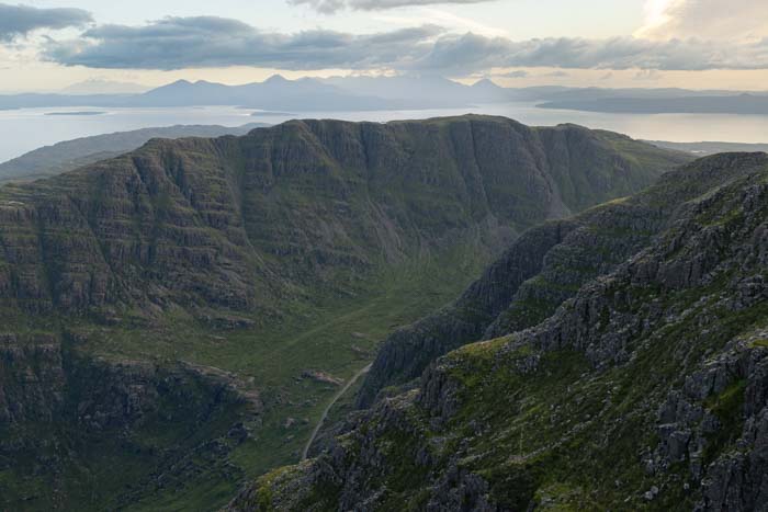
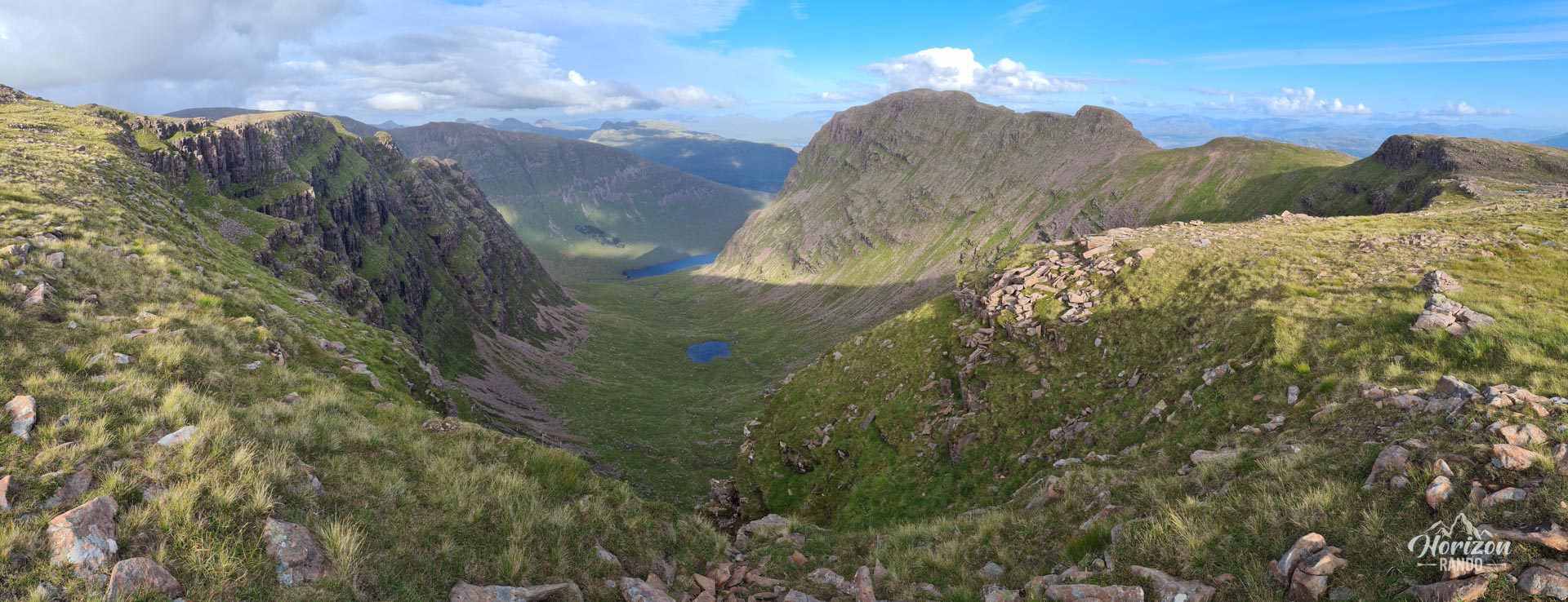
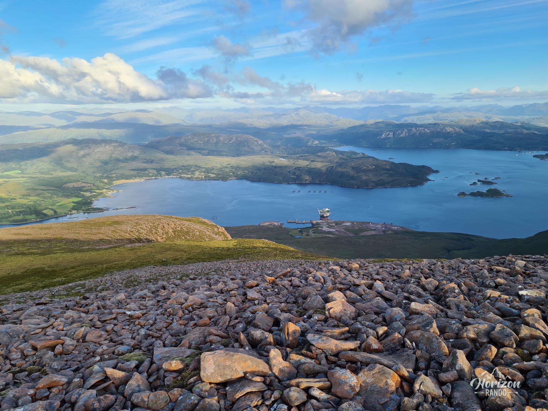
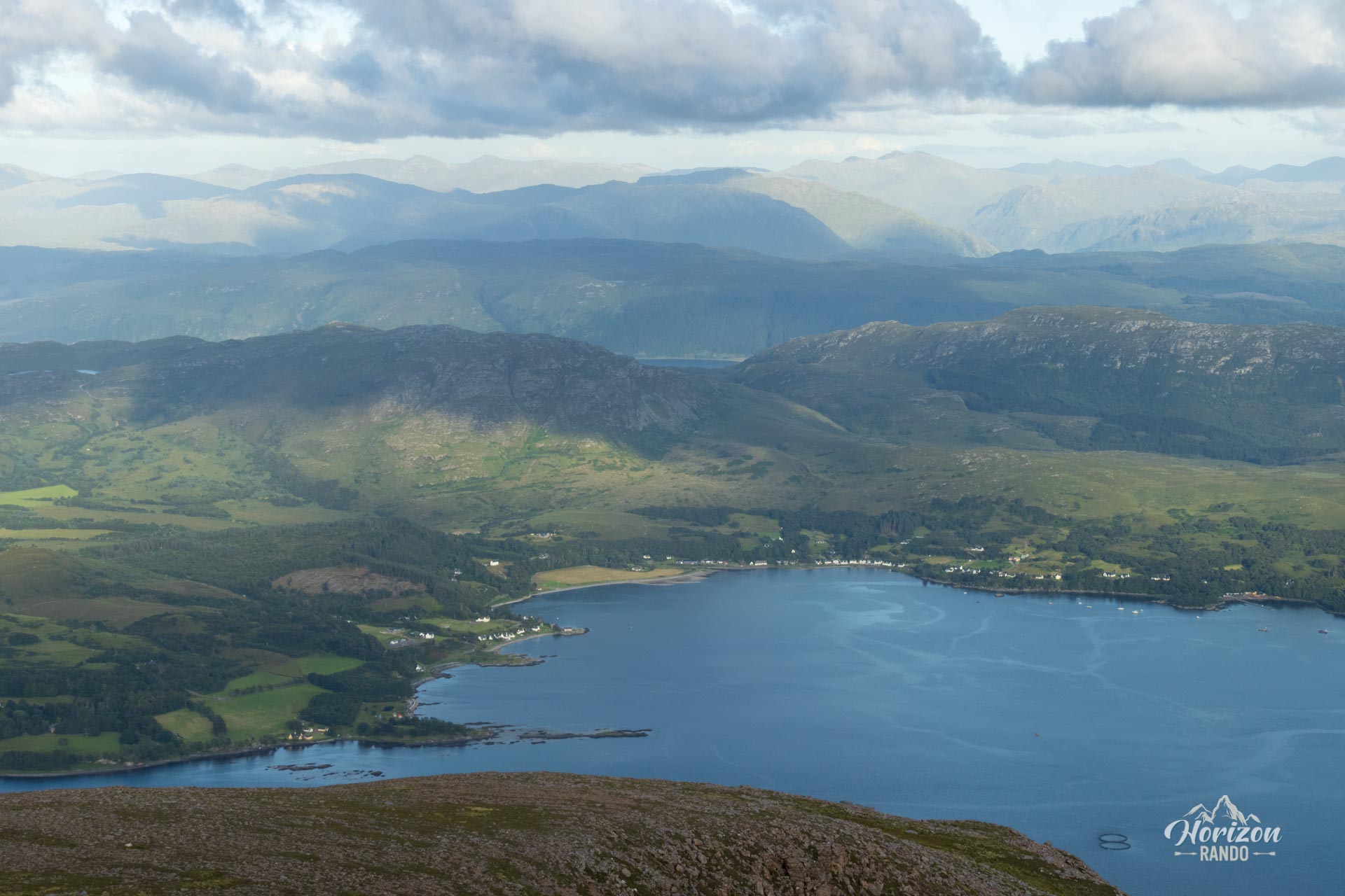
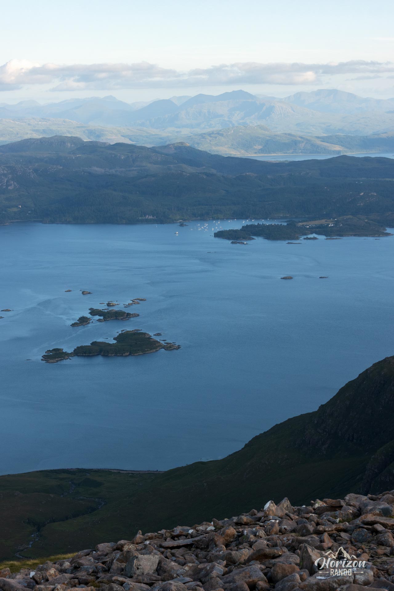
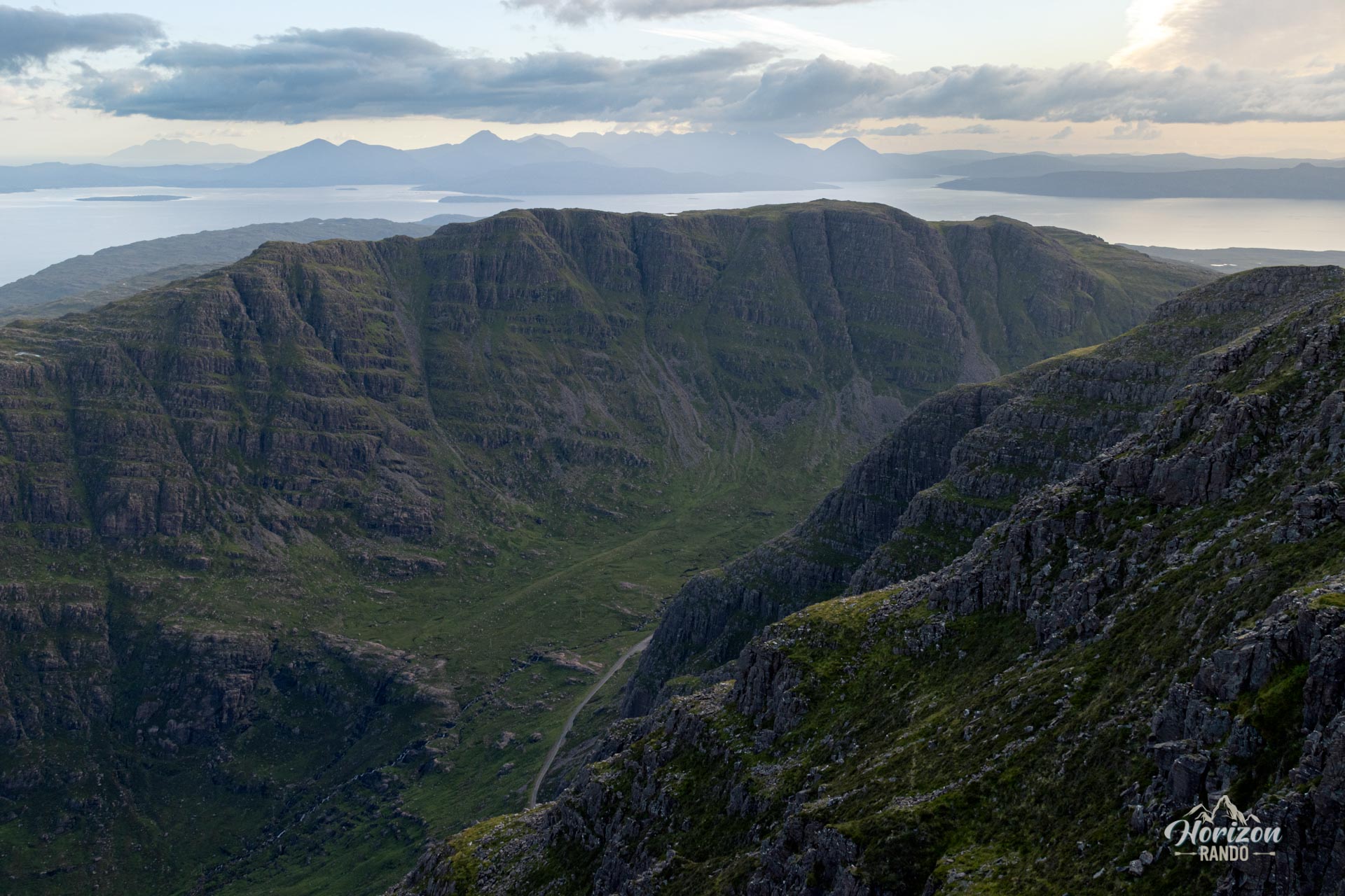
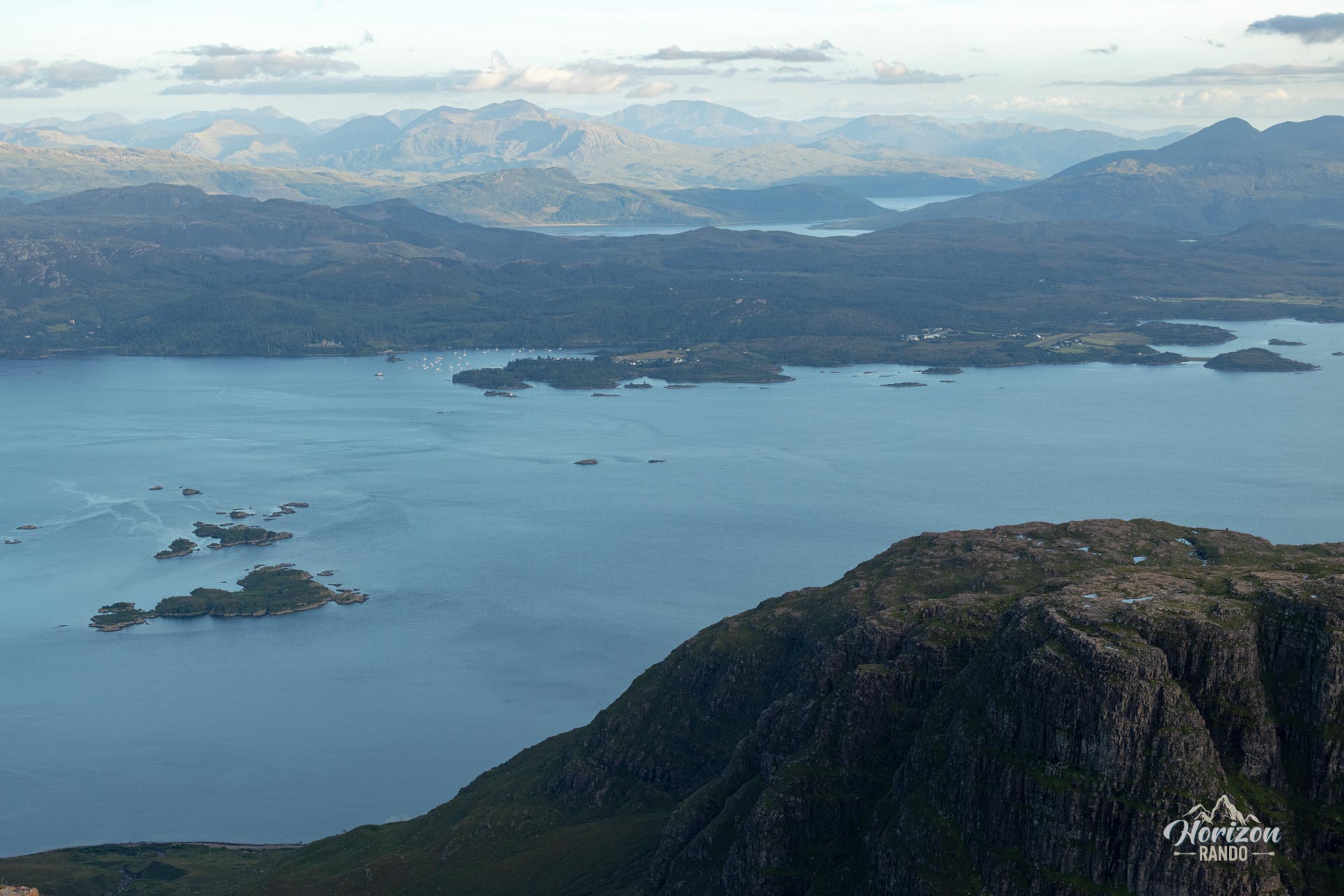
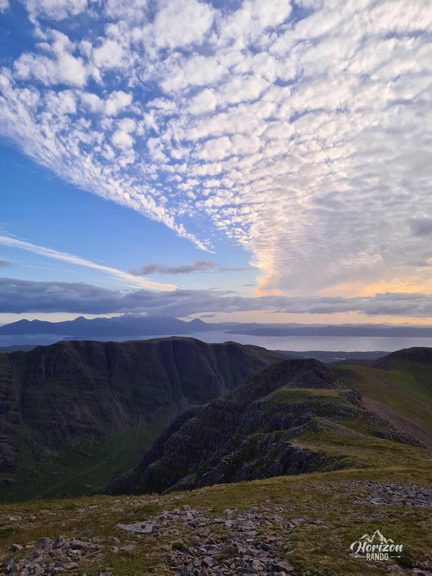
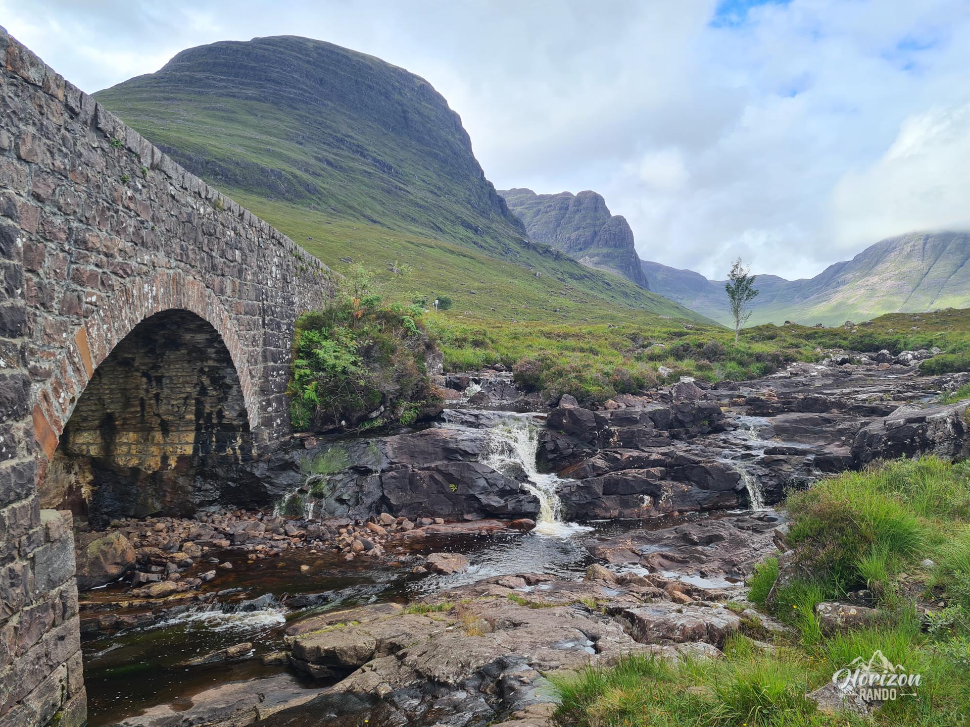
The Sgùrr a'Chaorachain hike has a unique feature for Scotland: it begins at an elevation of 626 meters at the famous Bealach na Bà pass, which is part of one of the most stunning roads in Great Britain. From the parking lot, you can enjoy stunning views of the Isle of Skye and the majestic mountains of the Applecross Peninsula.
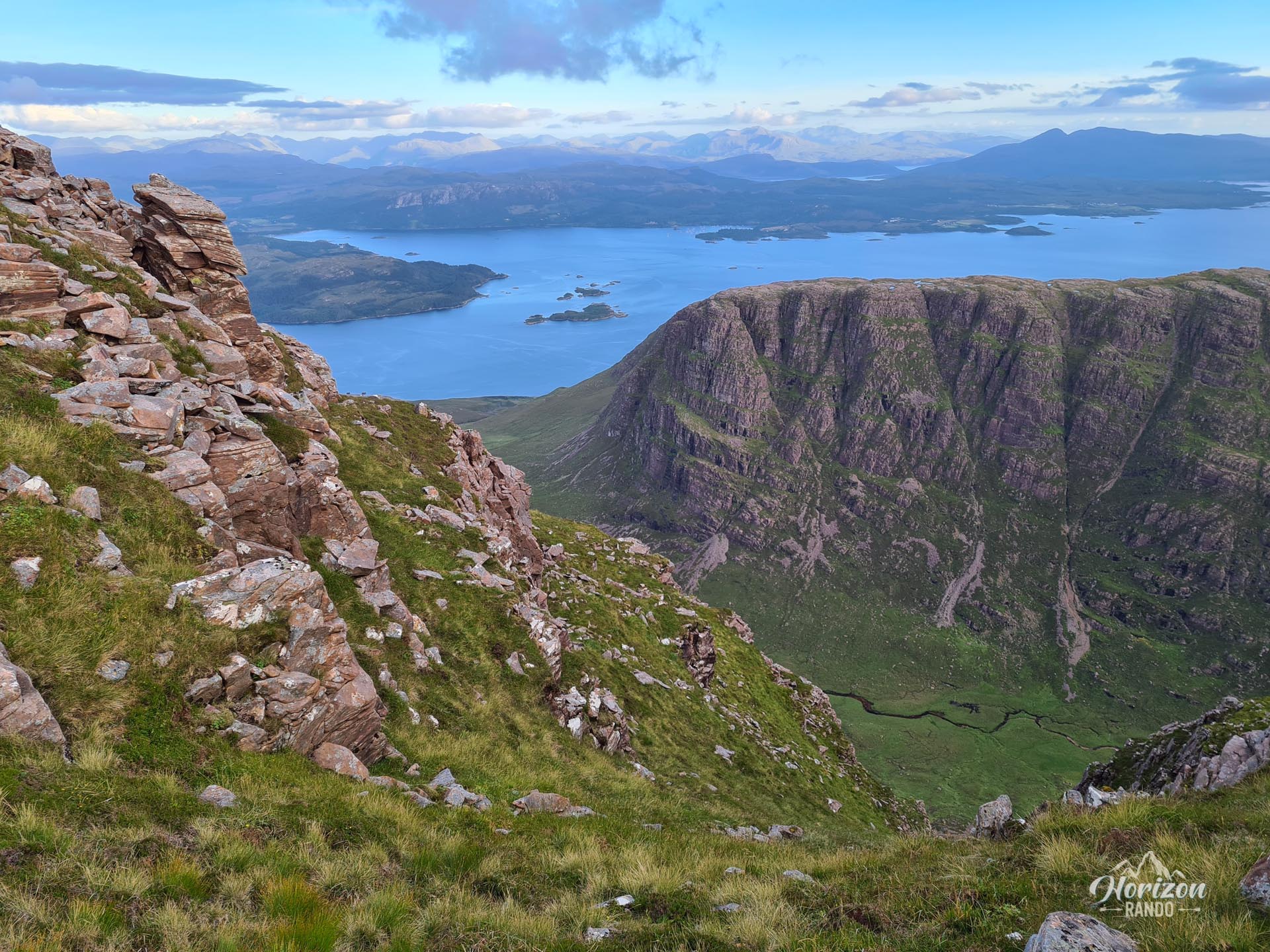
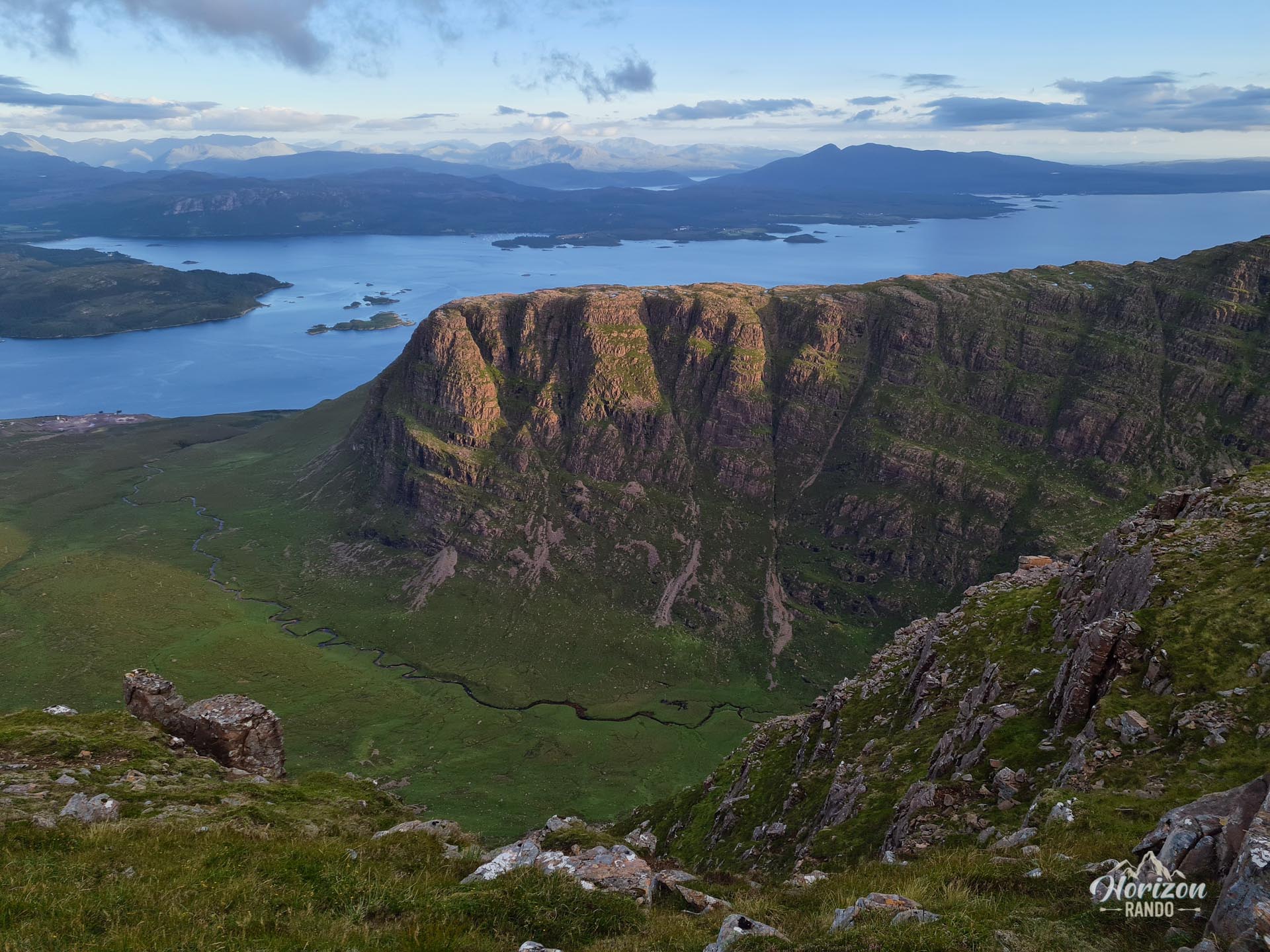
These views continue throughout the ascent to the 792-meter summit. This accessible route allows you to reach a magnificent summit without the usual effort required for such an ascent.
Map and elevation profile of the hike
Sgùrr a' Chaorachain Hike
Difficulties of the hike
The route begins with a well-defined trail that leads to the first summit, marked by a relay antenna. This first section presents no particular difficulty. After that, the trail becomes more discreet and even disappears in places, requiring sustained attention to follow. Then, you must descend about 100 meters before reaching the main ridge.
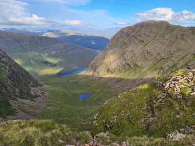
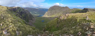
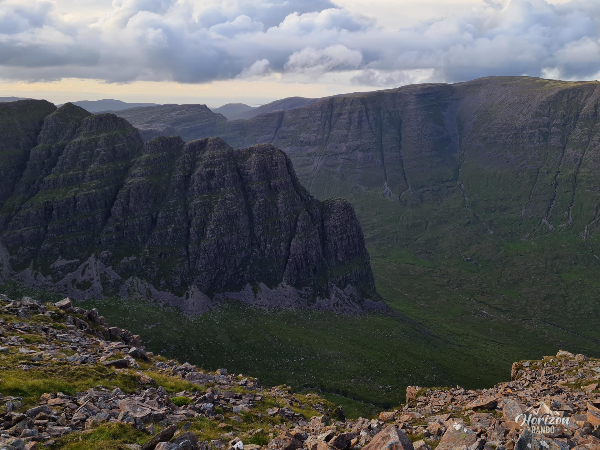
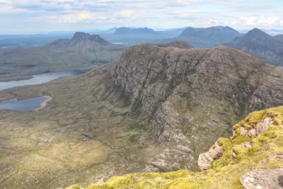
The terrain becomes more rugged and rocky with a few short, steep slopes through scree. However, the ridge remains wide enough that it does not pose a problem for those who are sensitive to vertigo. After a few moderate ascents and descents, you will reach the summit cairn.
What you'll love
- Magnificent panoramic views throughout the ascent: Breathtaking vistas of the Isle of Skye and the surrounding mountains of the Applecross Peninsula and Wester Ross.
- A high starting point, which considerably reduces the required effort.
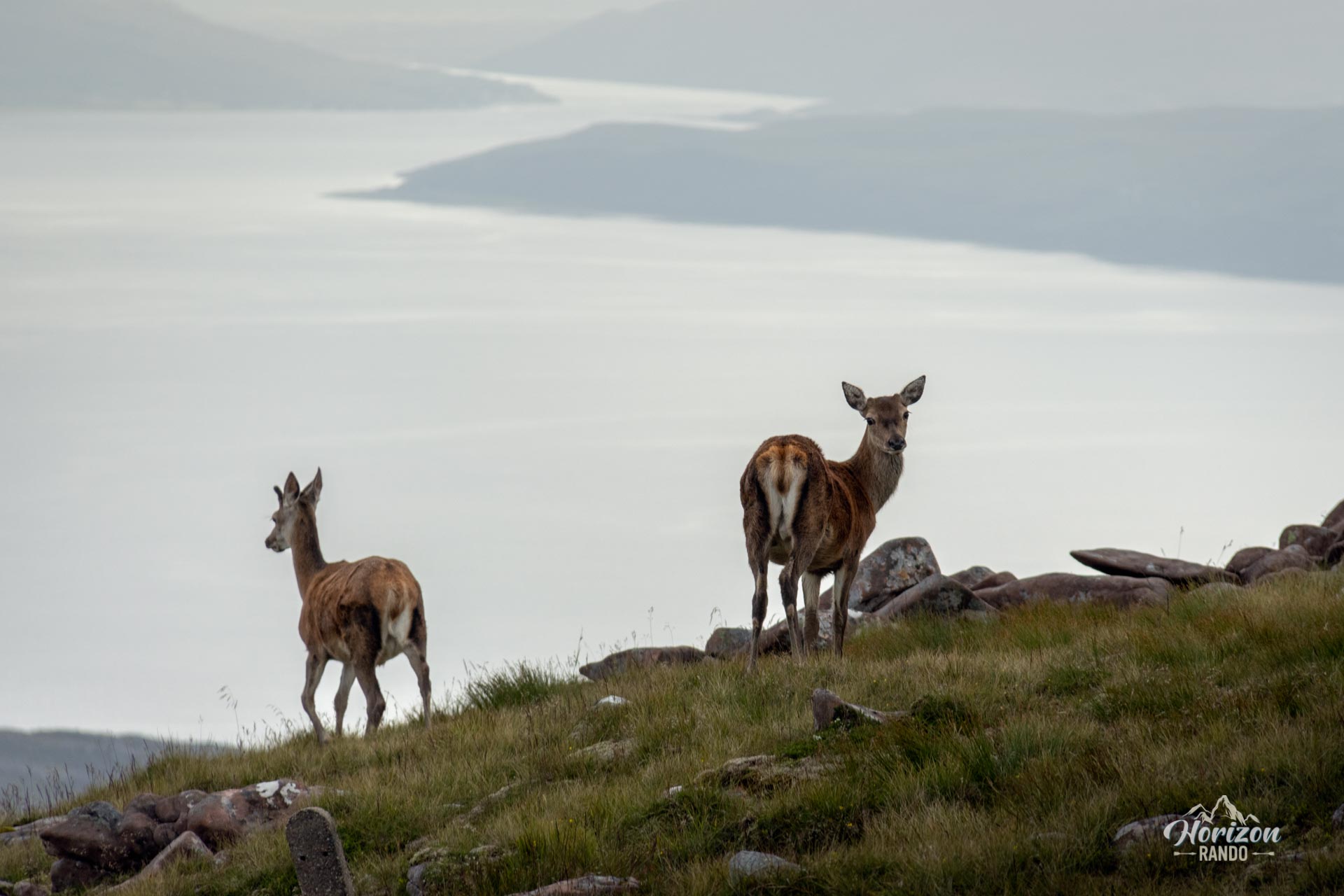
- A little-used route: This hike offers a wonderful feeling of isolation and immersion in the unspoiled nature of the Highlands.
Practical information
Parking
A large, free car park is located at the top of Bealach na Bà (626 m above sea level) and serves as a panoramic viewpoint.
Access to the pass
The Bealach na Bà road is the steepest in the UK, with hairpin turns and 20 % gradients. It may be closed in winter due to snow.
Photos
See all 13 photos →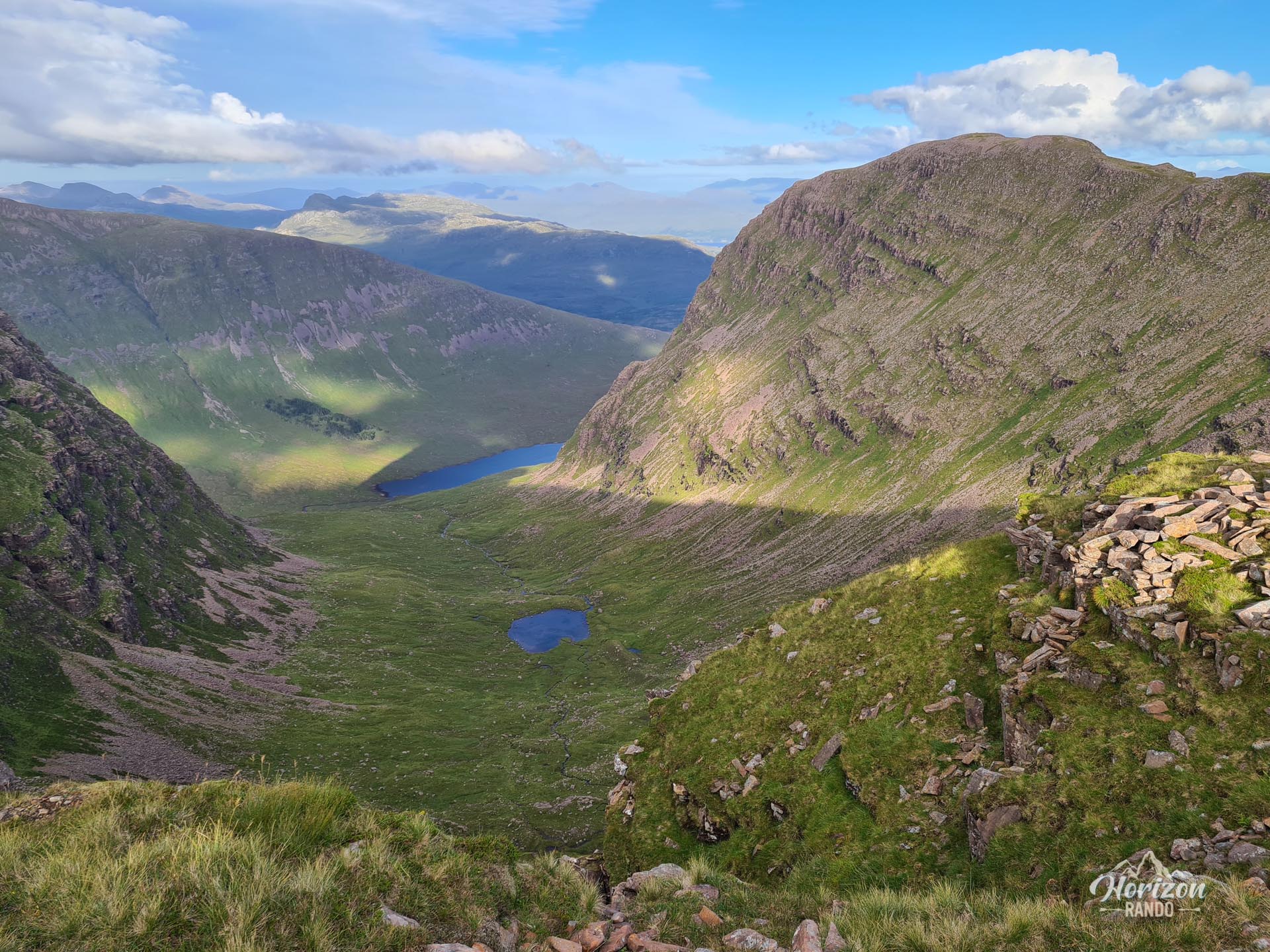
More hikes to do in Scotland
Nearby hikes













Printed from www.horizonrando.fr/en/scotland/sgurr-achaorachain/