





Pap of Glencoe Hike
Key facts about the hike
- Difficulty
- Moderate Hikes are rated from very easy to very hard: my difficulty scale
- Duration
- 4h Estimated time, short breaks included (photos, water, snacks), picnic not included: how it is calculated
- Distance
- 6.8km
- out and back
- Elevation gain
- 740m
- Type of route
- Out and back
- Maximum altitude
- 742 m
- Vertiginous Five levels, depending on how exposed the route is: the levels in detail
- Slightly
- Marked
- No
- Popularity
- Moderate
- Region
- Glencoe
- Start point
- 56.68237, -5.09092
- Activity
- Hiking
Hike overview
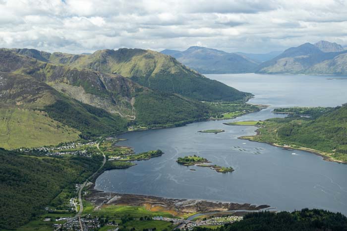
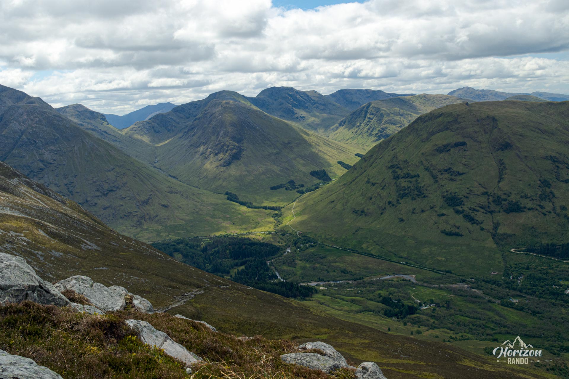
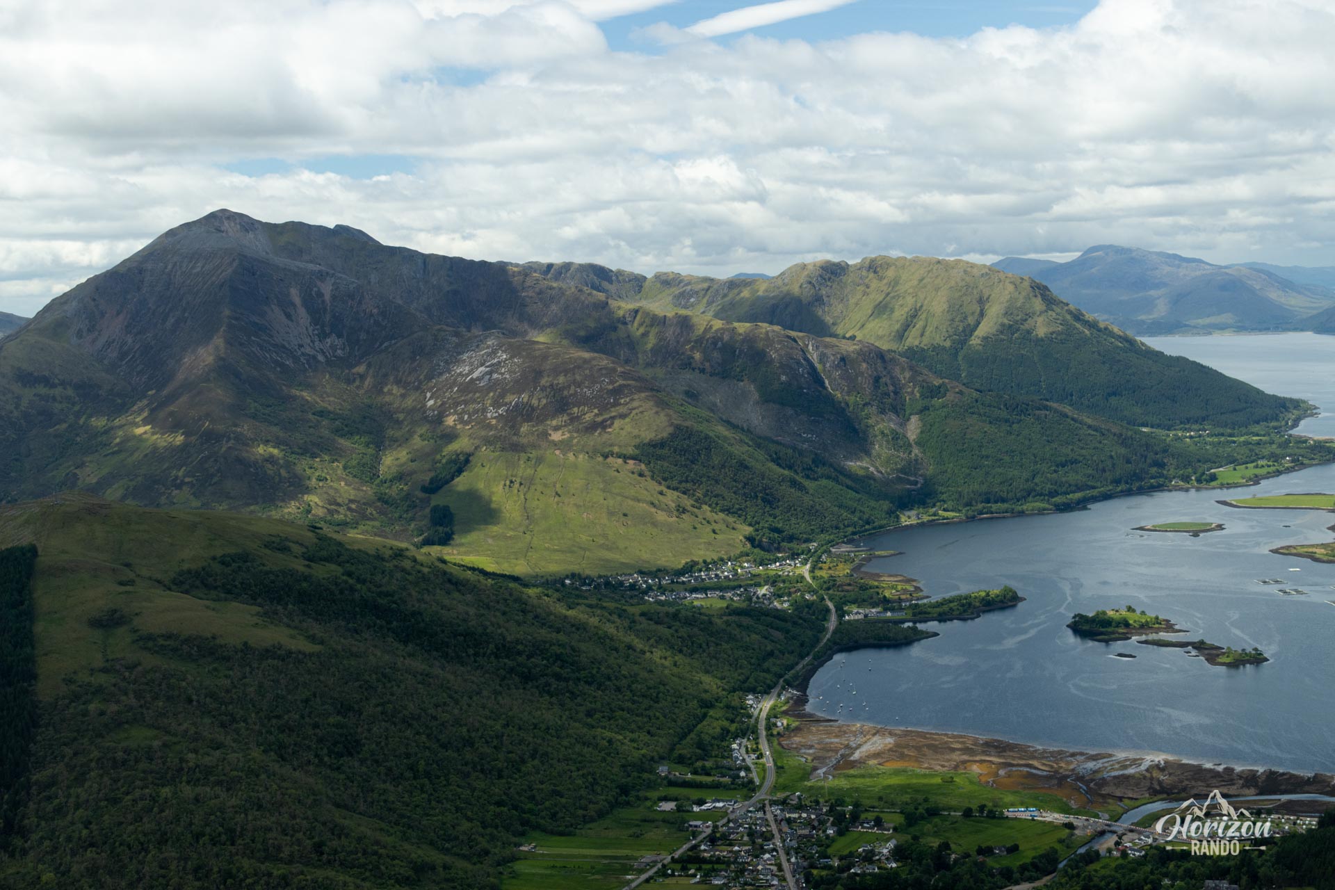
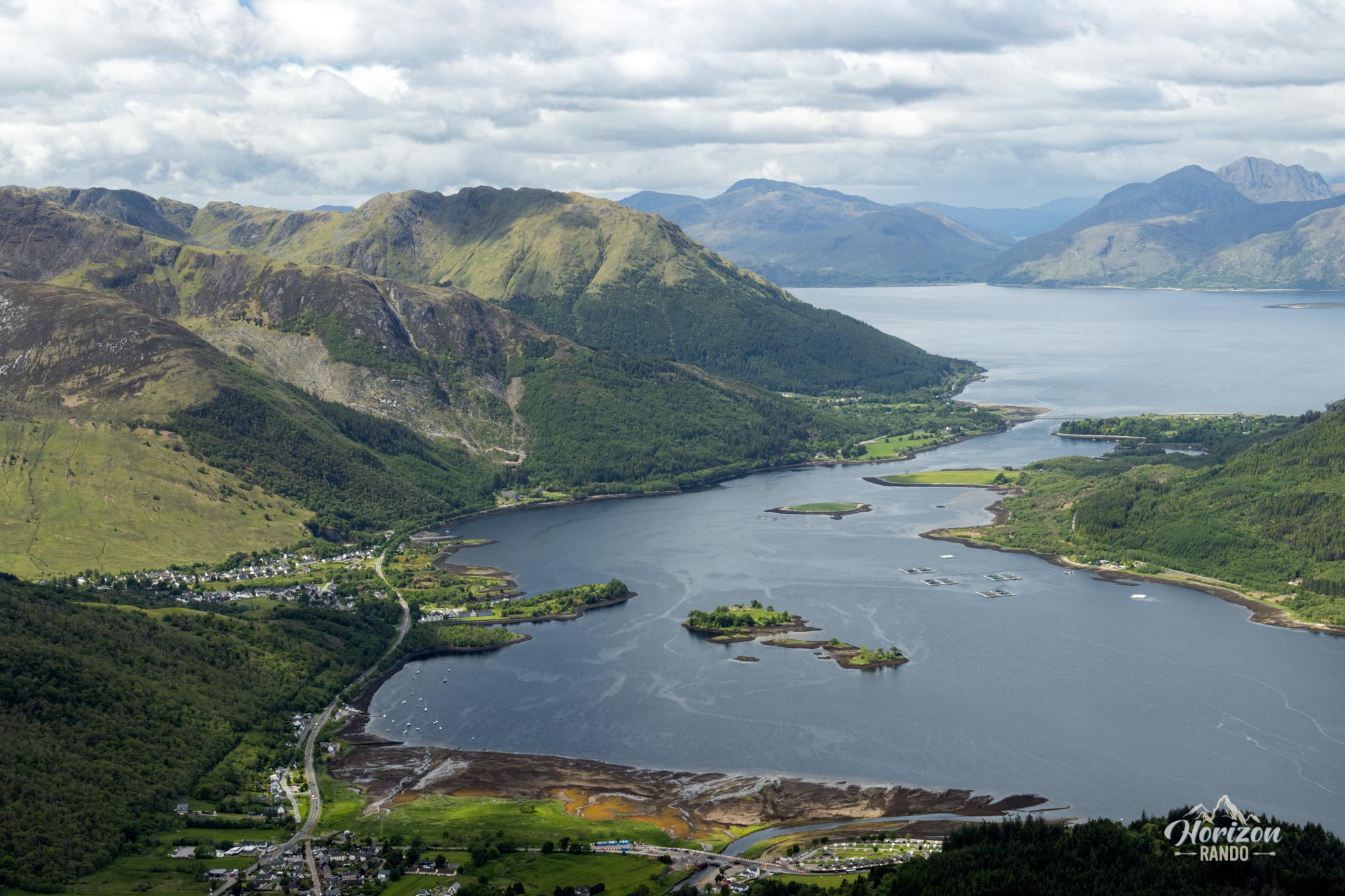
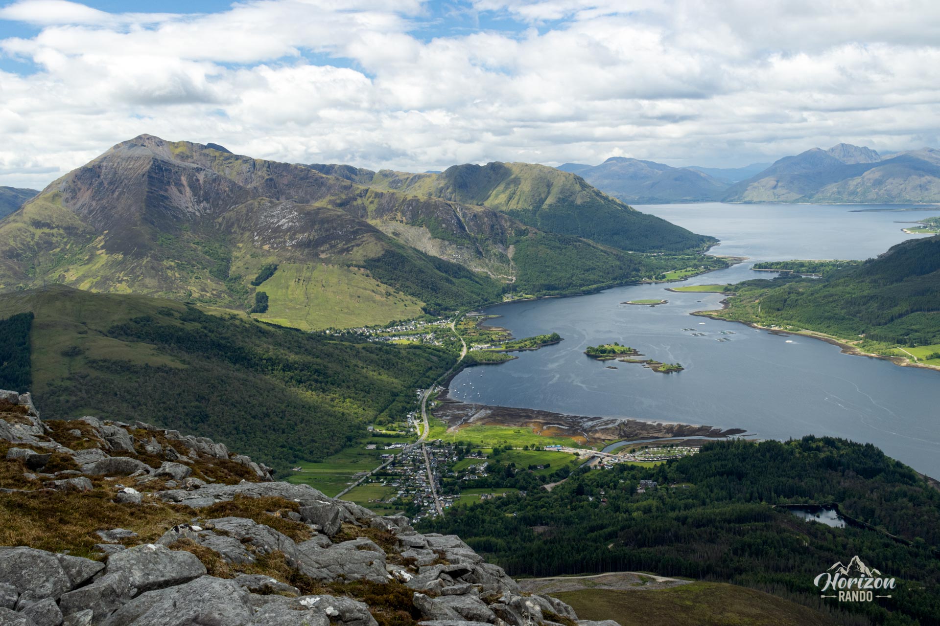
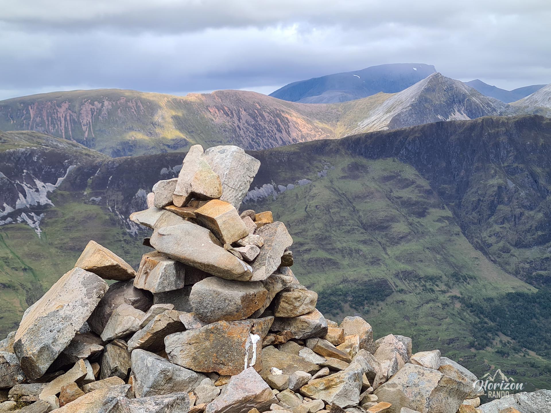
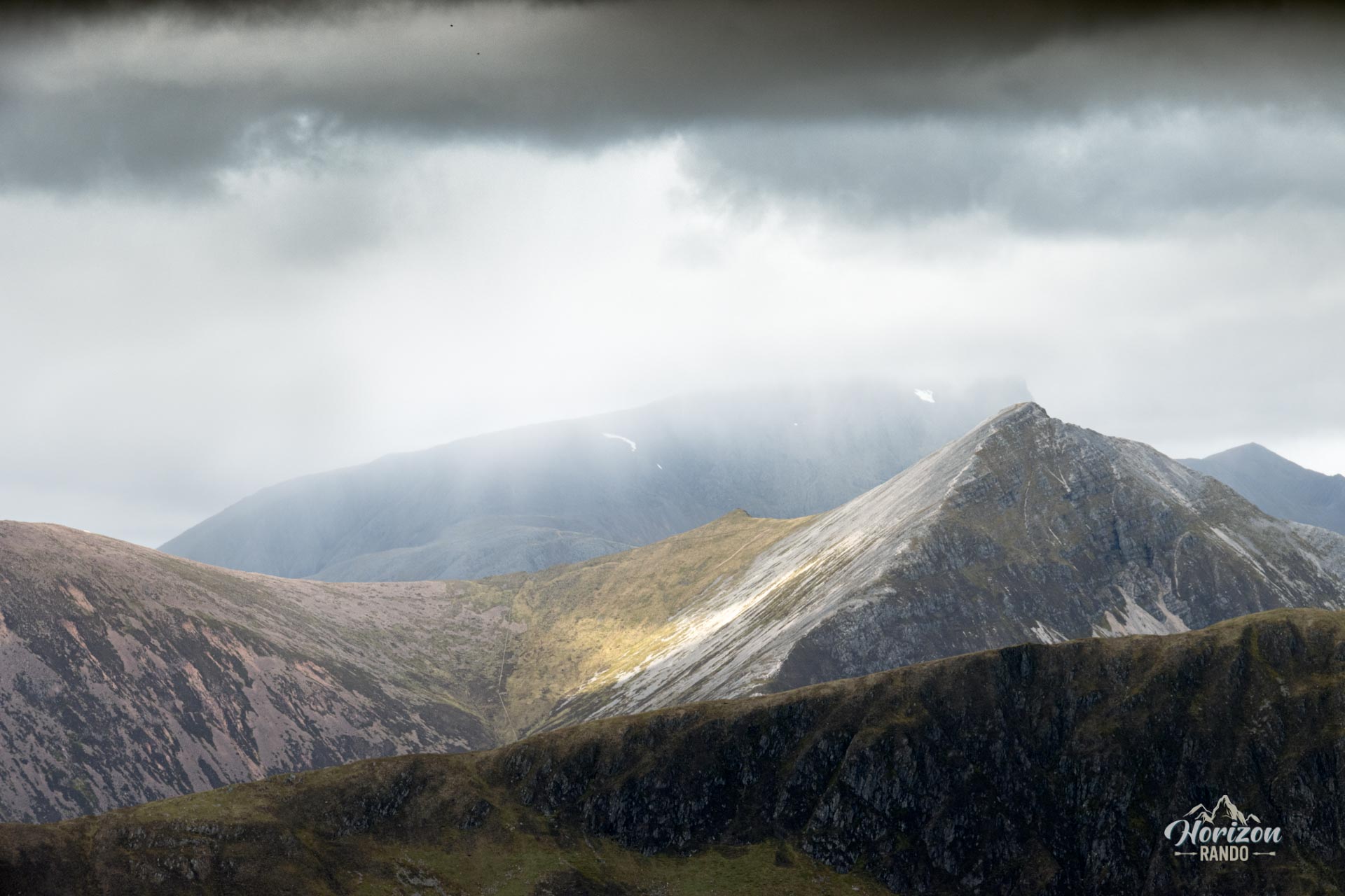
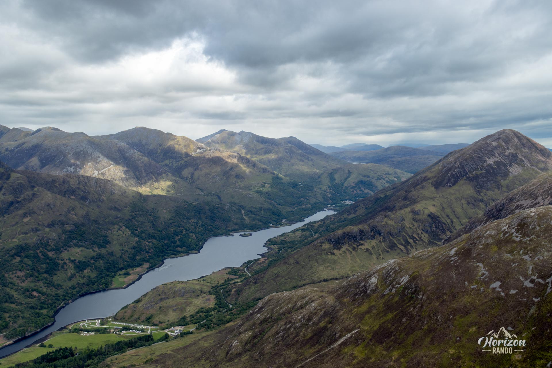
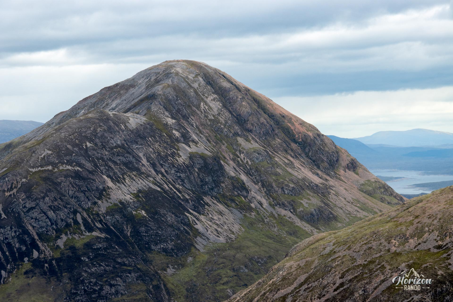
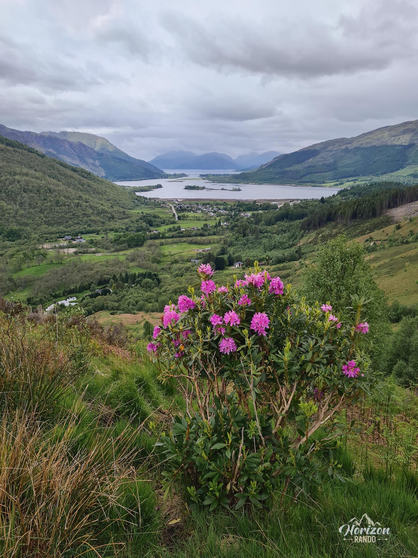
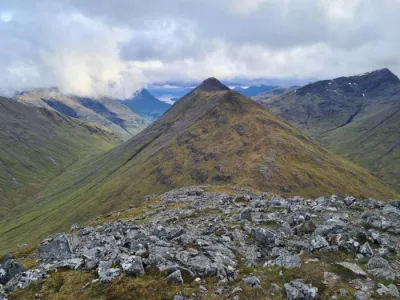
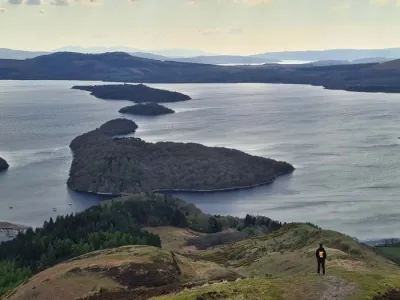
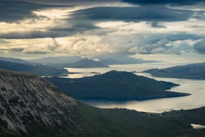
The Pap of Glencoe (Sgòrr na Cìche in Gaelic) is a hike that leads to the 742-meter summit of an iconic, conical mountain overlooking Loch Leven and the western entrance to the Glencoe valley. Despite its relatively low elevation compared to the surrounding peaks, the summit offers spectacular vistas of the Mamores, Ben Nevis, Loch Leven, and the Glencoe mountains.
Map and elevation profile of the hike
Pap of Glencoe Hike
Difficulties of the hike
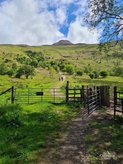
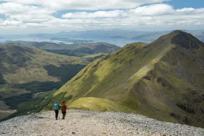
Despite its modest distance, the ascent of the Pap of Glencoe is physically demanding. The trail starts at nearly sea level and climbs almost continuously to the summit, featuring particularly steep and rocky sections during the final ascent.
What you'll love
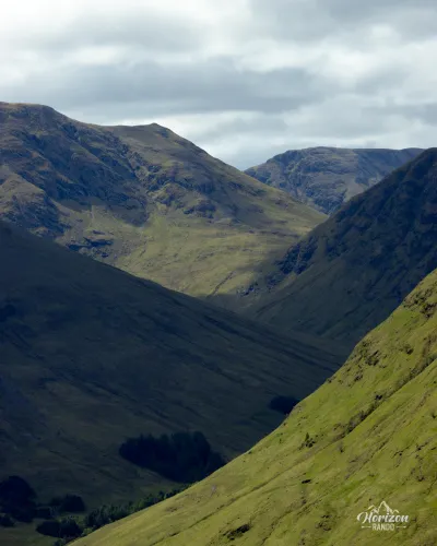
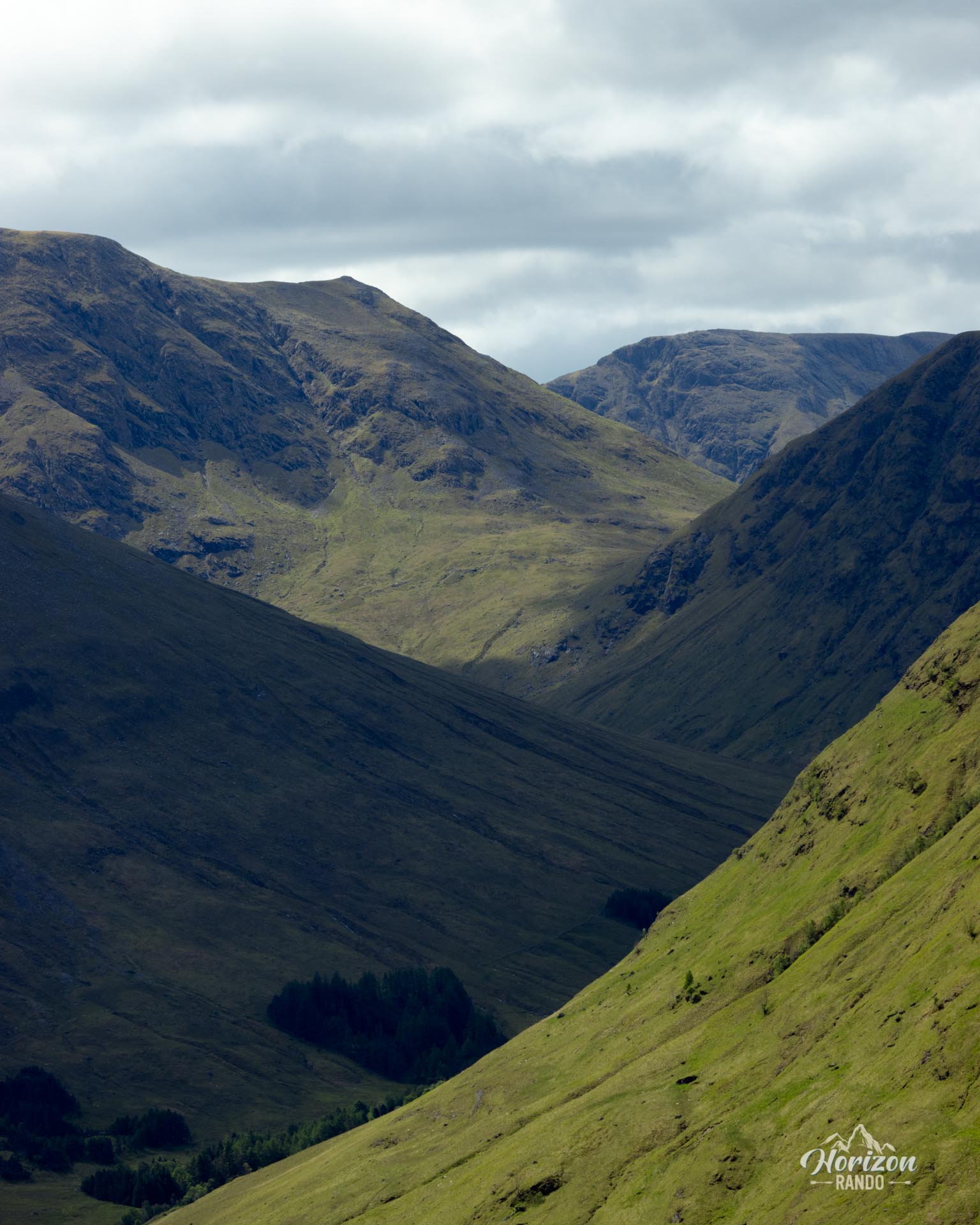
- A magnificent 360-degree panorama from the summit: Breathtaking views of Loch Leven, the Glencoe Valley, the Ballachulish Bridge, the Mamores range with Ben Nevis in the background, and the impressive Aonach Eagach ridge.
- A short hike, perfect for a half-day exploration of the Highlands.
Photos
See all 11 photos →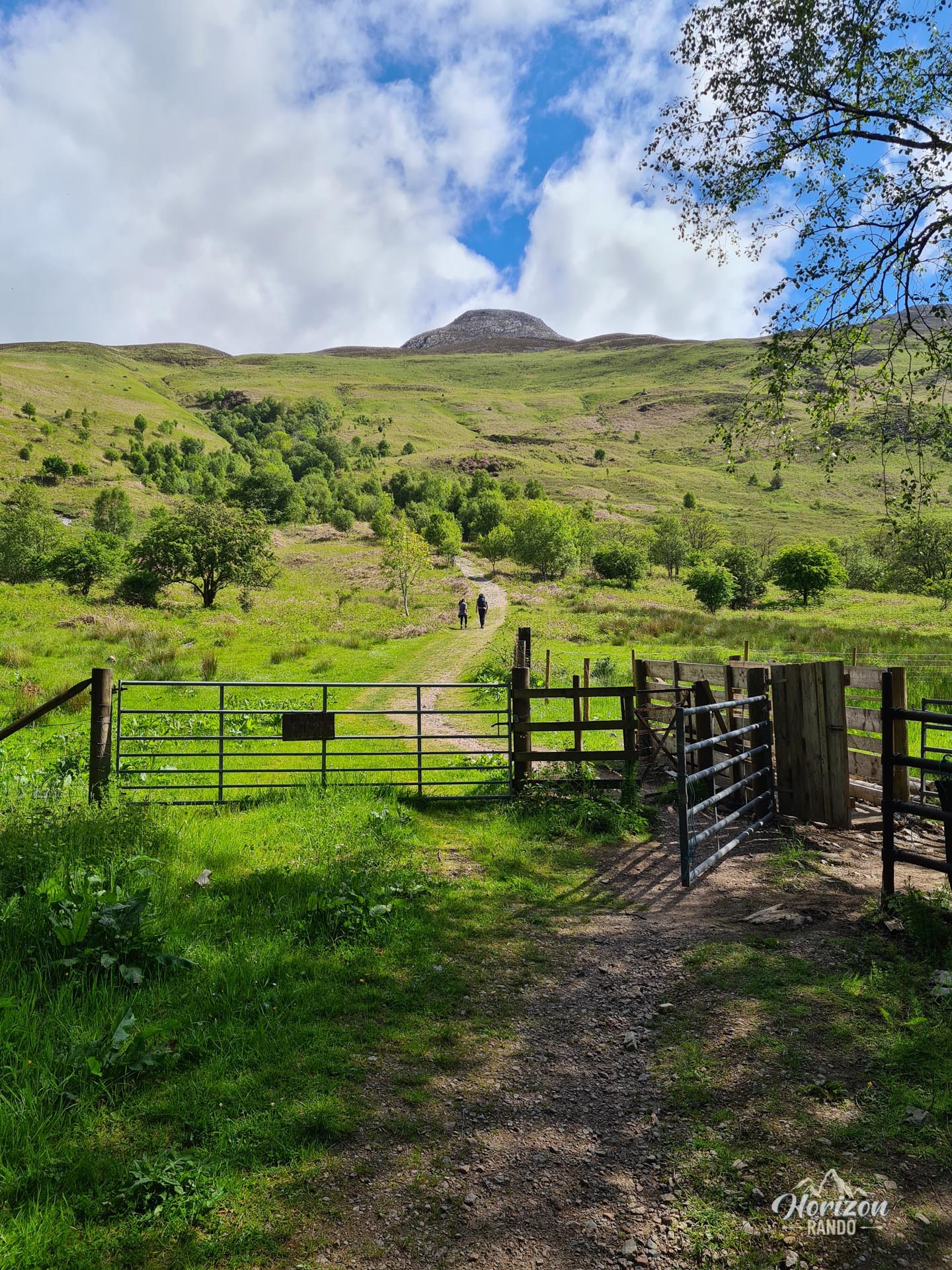
More hikes to do in Scotland
Nearby hikes













Printed from www.horizonrando.fr/en/scotland/pap-of-glencoe/