





Buachaille Etive Mòr Hike
Key facts about the hike
- Difficulty
- Hard Hikes are rated from very easy to very hard: my difficulty scale
- Duration
- 7h30 Estimated time, short breaks included (photos, water, snacks), picnic not included: how it is calculated
- Distance
- 14.4km
- Elevation gain
- 1,150m
- Type of route
- Loop
- Maximum altitude
- 1,022 m
- Vertiginous Five levels, depending on how exposed the route is: the levels in detail
- Moderately
- Marked
- No
- Popularity
- Low
- Region
- Glencoe
- Start point
- 56.66458, -4.90486
- Activity
- Hiking
Hike overview
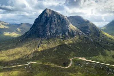
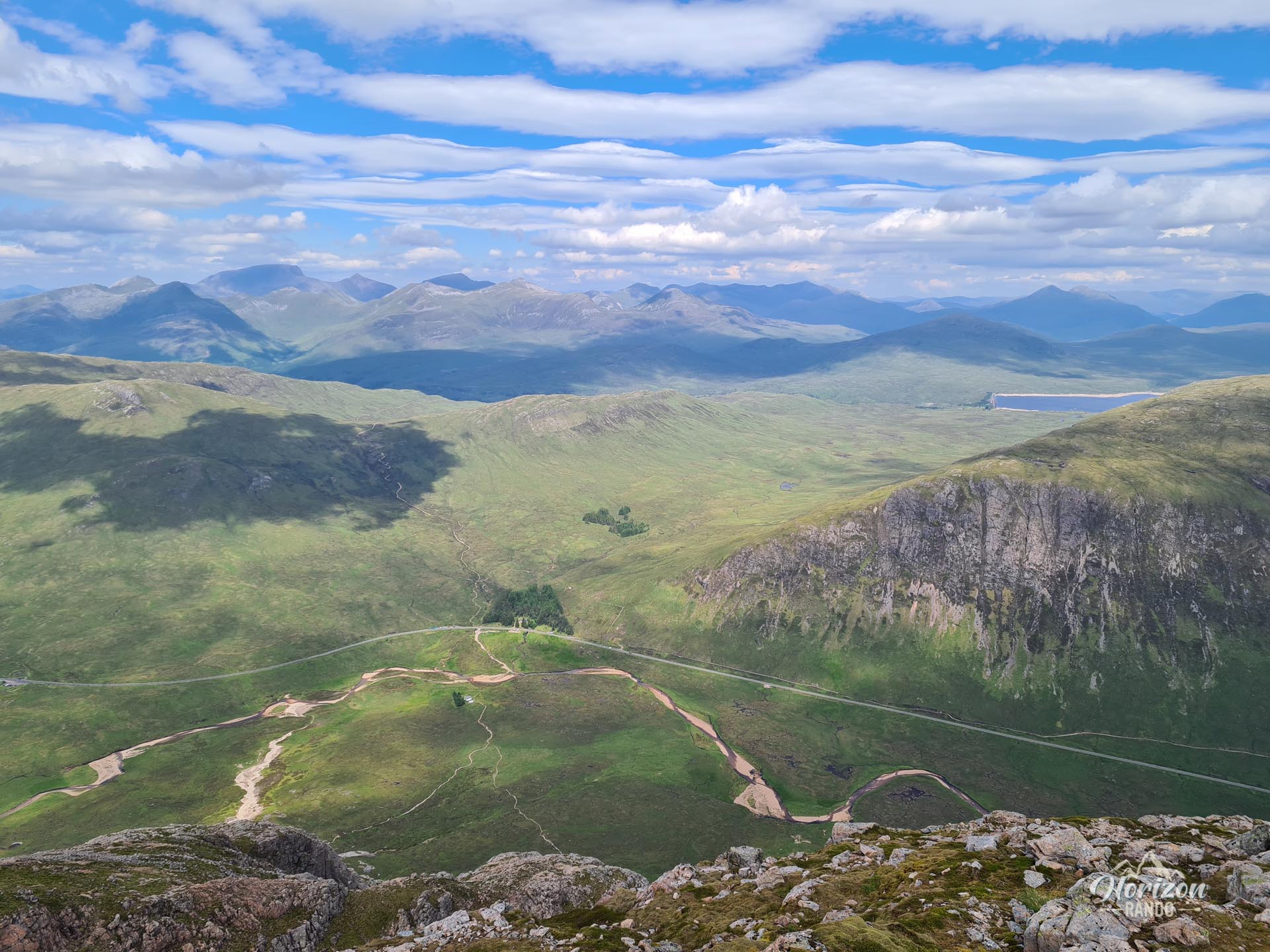
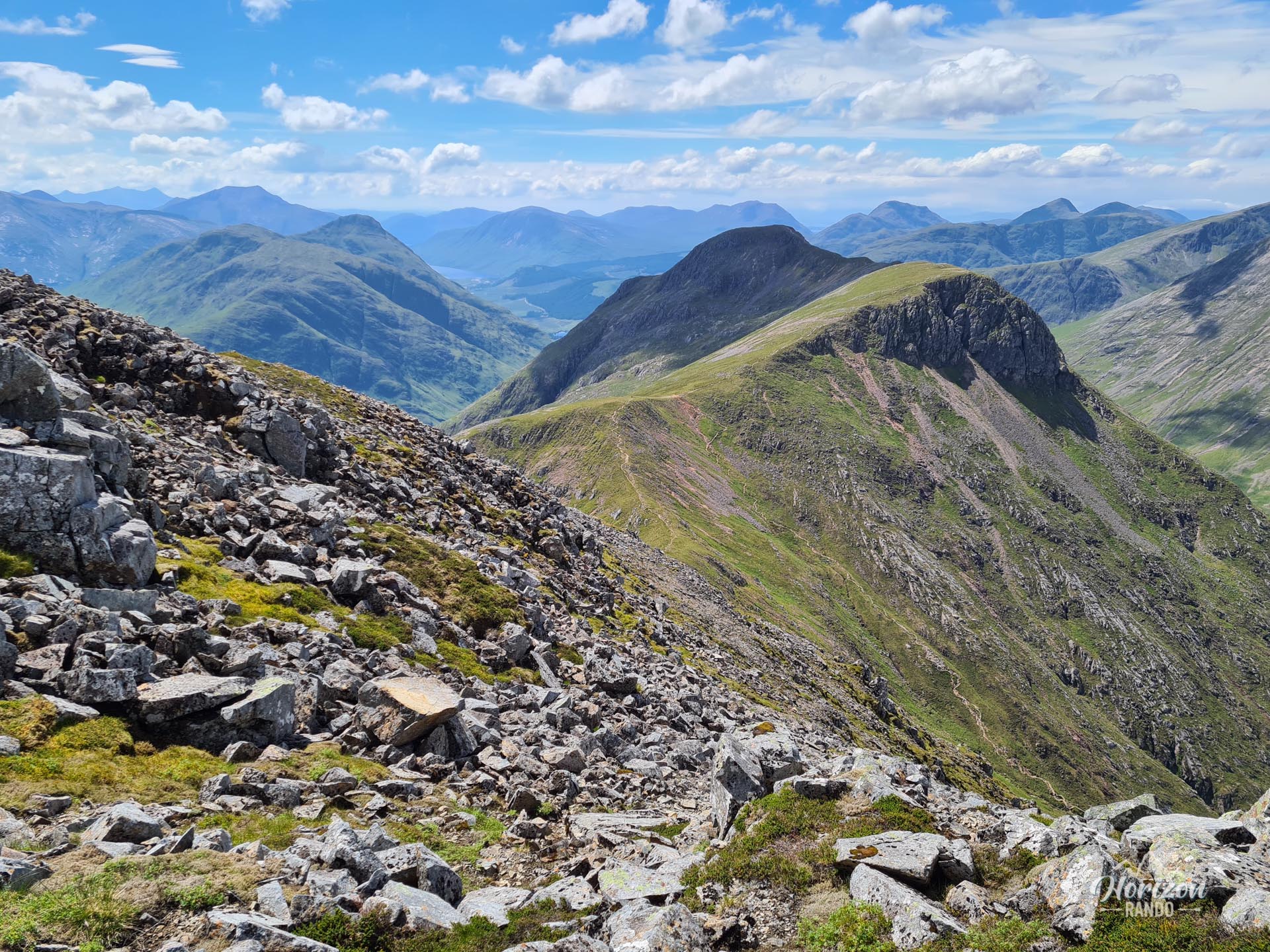
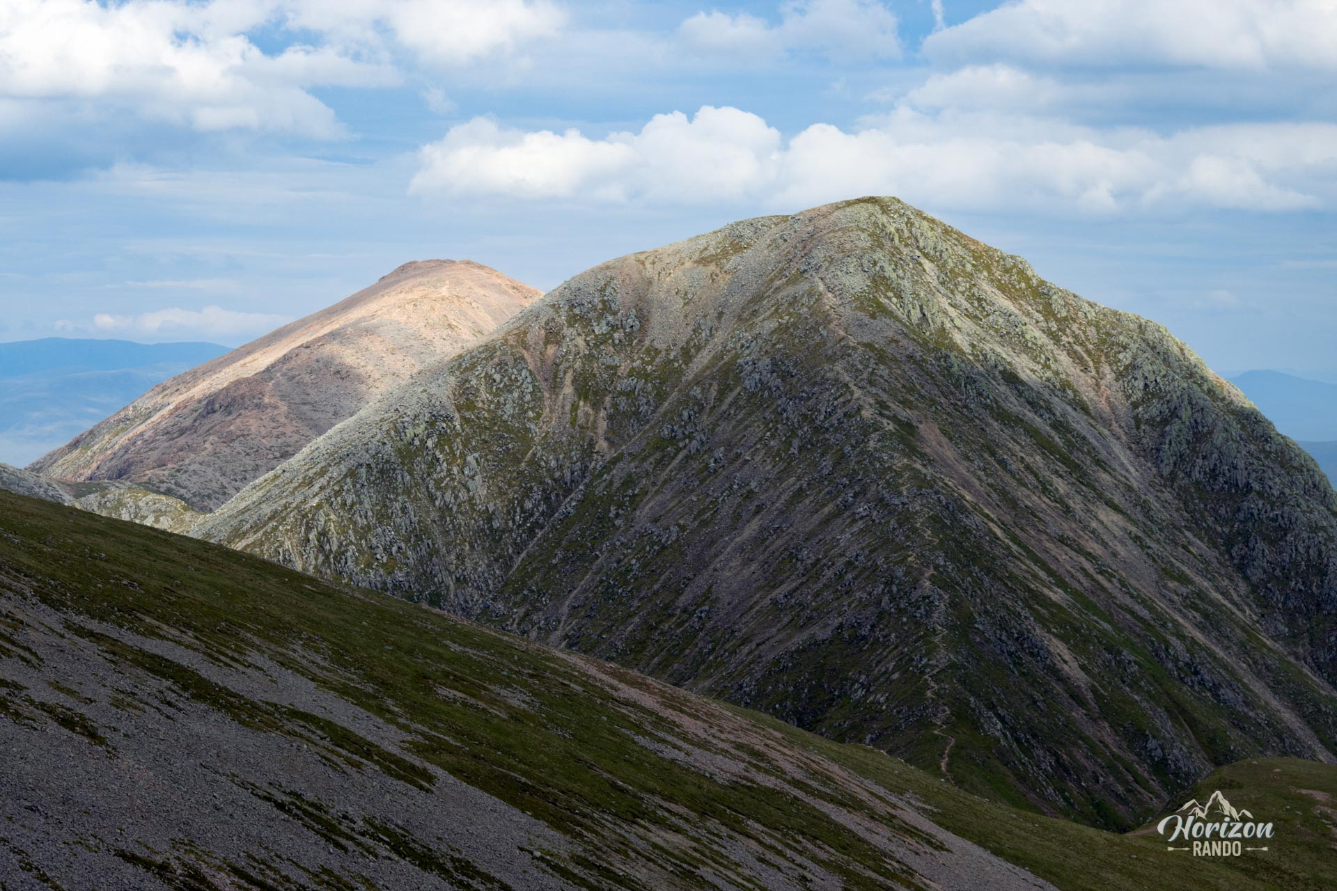
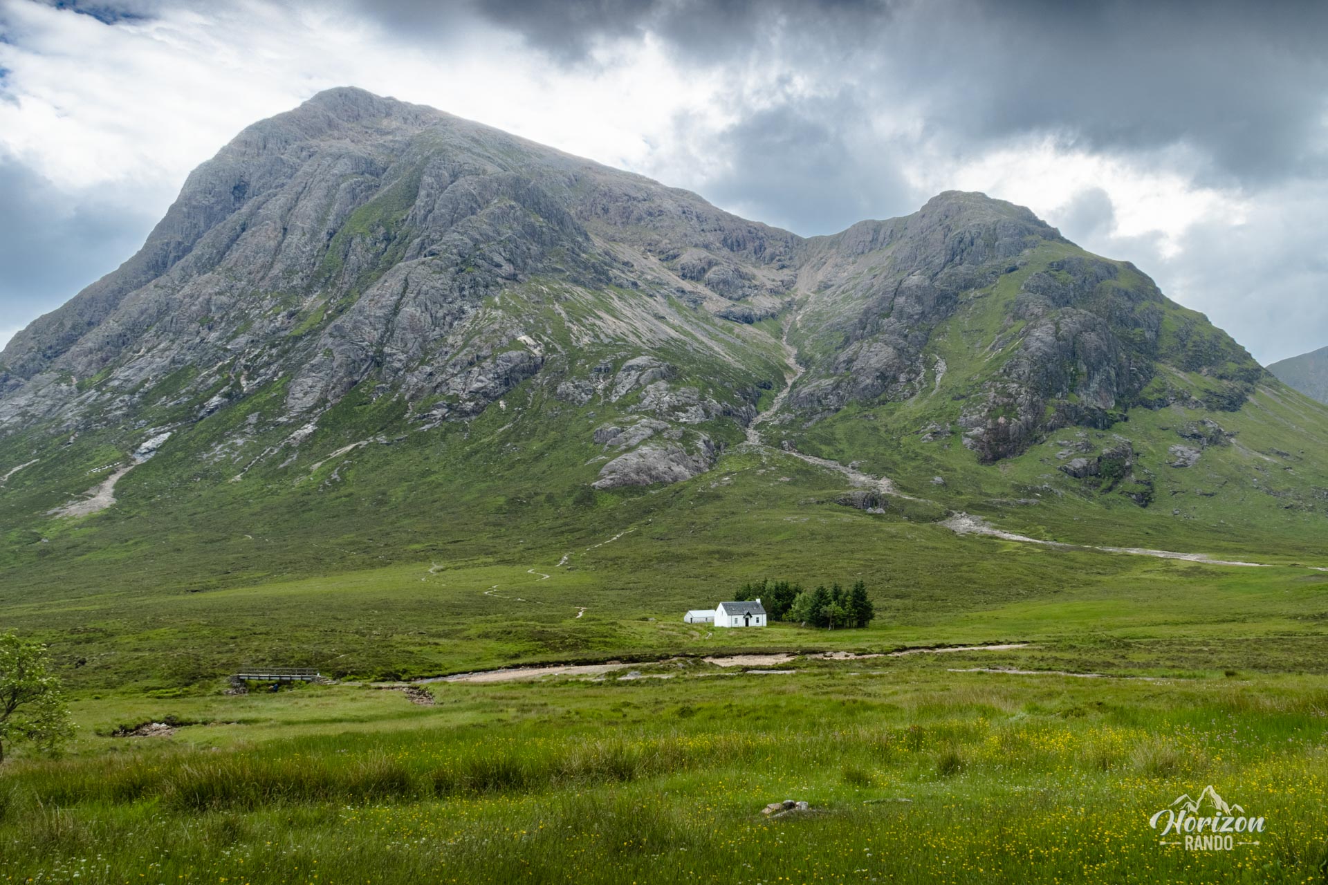
The Buachaille Etive Mòr hike takes you to one of Scotland's most iconic mountains, recognizable by its spectacular pyramid shape dominating the entrance to Glencoe. This magnificent ridge traverse connects four peaks, including two Munros (peaks over 3,000 feet or 914 meters), and offers breathtaking views of the Glencoe and Etive valleys, the vast expanse of Rannoch Moor, and the surrounding mountains.
Map and elevation profile of the hike
Buachaille Etive Mòr Hike
Difficulties of the hike
This route is long and physically demanding, with 1,150 meters of elevation gain over 14.4 kilometers. The trail is generally good and clearly visible, which makes navigation easy.
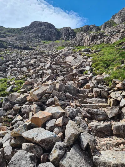
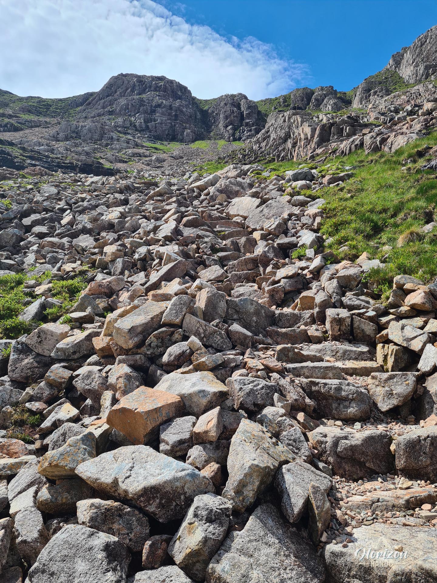
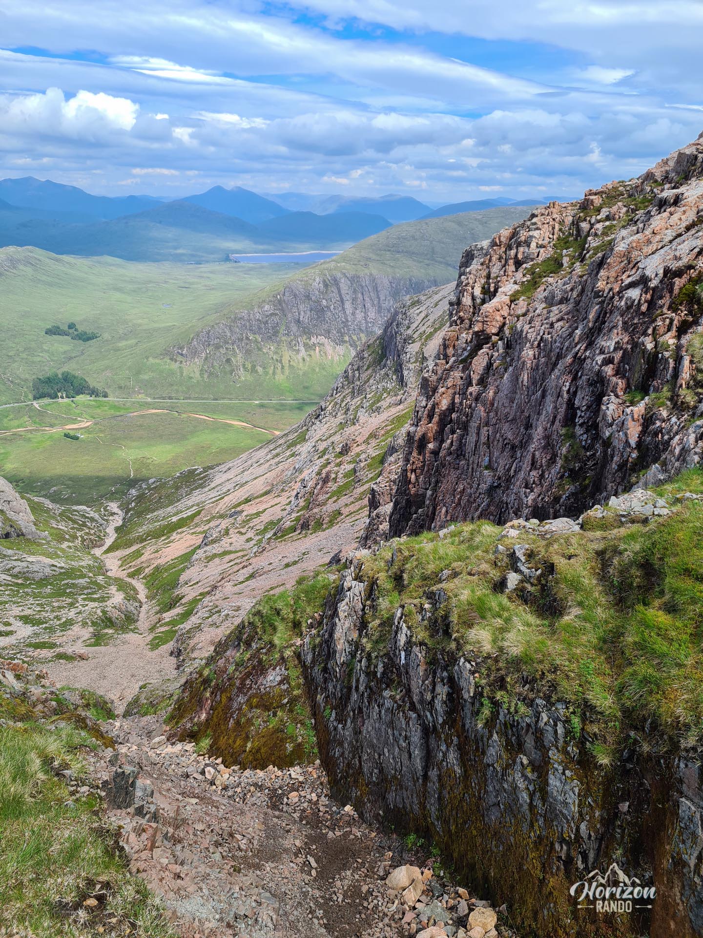
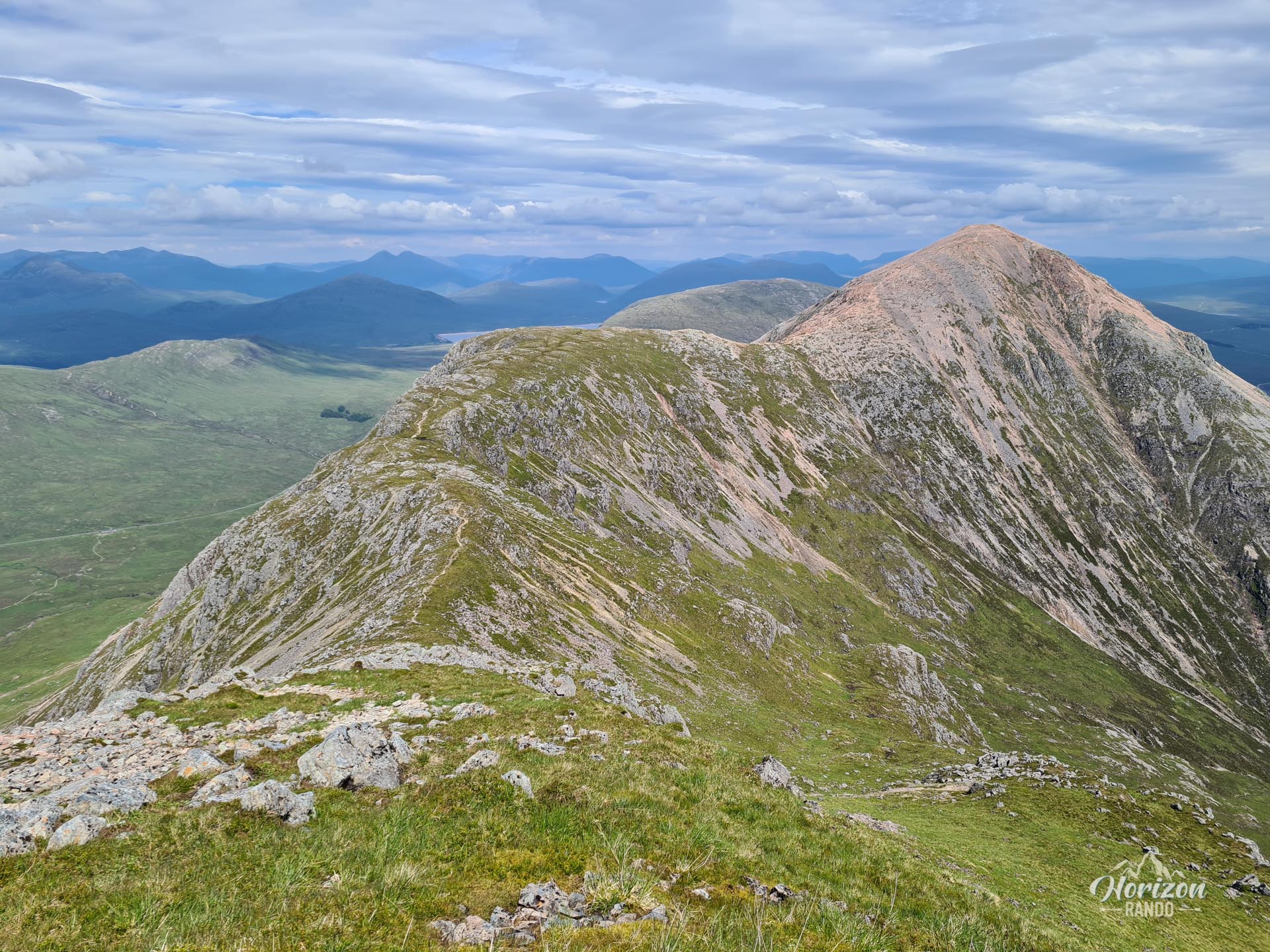
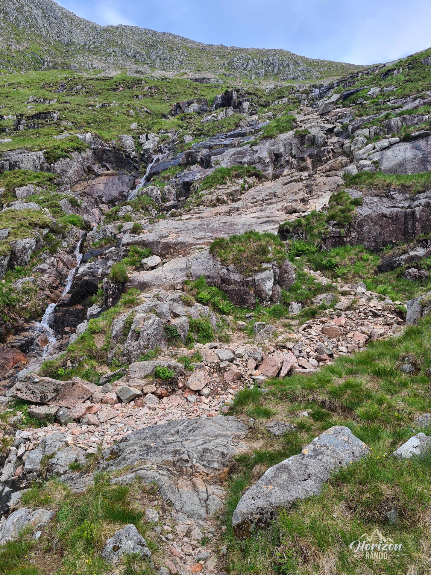
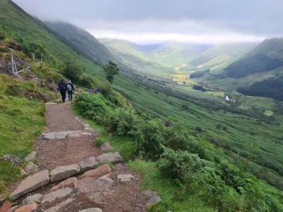
The initial ascent via Coire na Tulaich is the most difficult section: the trail is very steep and winds through rocky terrain dotted with scree. Progressing along the ridge on wide, rocky terrain does not present any technical difficulties and offers spectacular views of the Glencoe and Etive valleys.
However, the descent via Coire Altruim is steep and technical, with a rock slab to climb down and rocky passages that require particular attention, especially in wet weather.
What you'll love
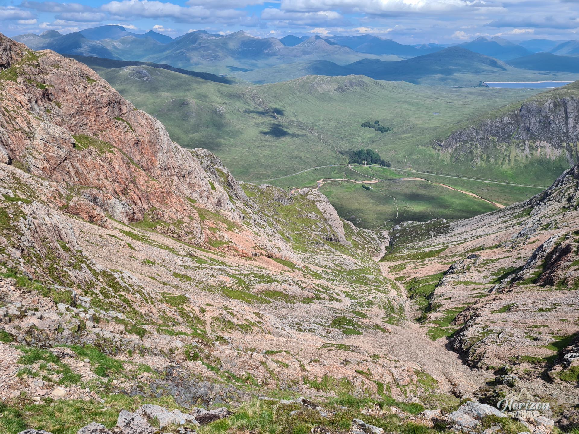
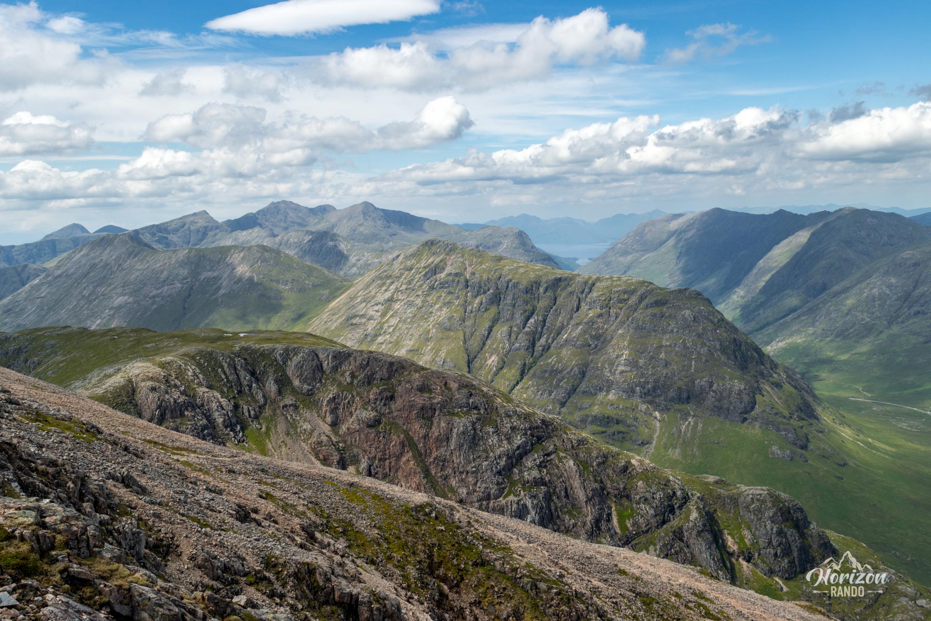
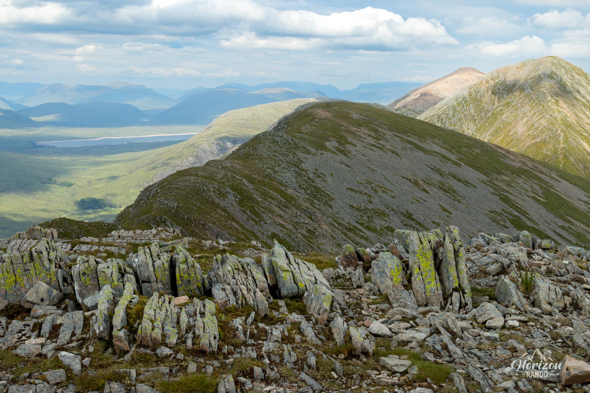
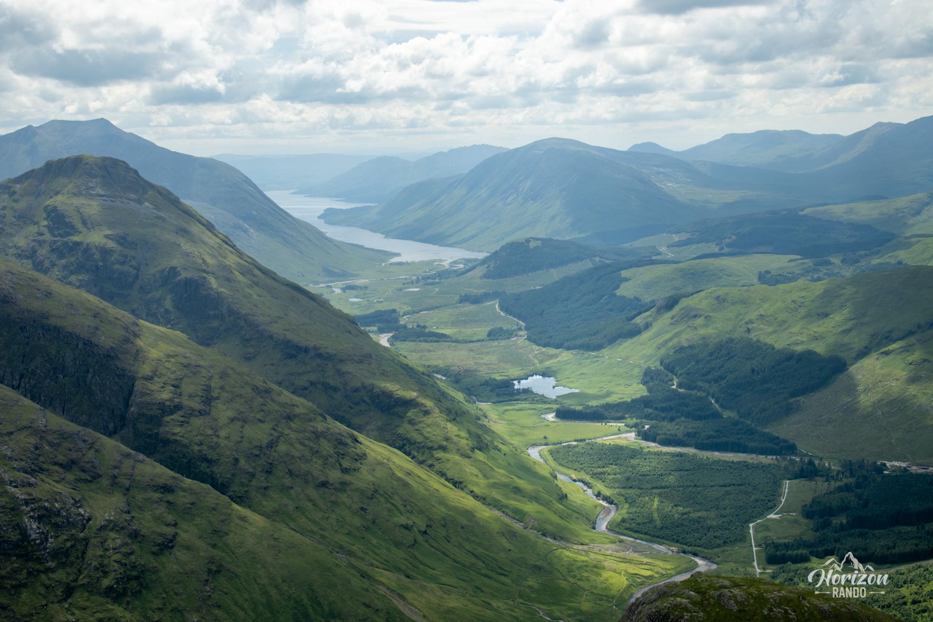
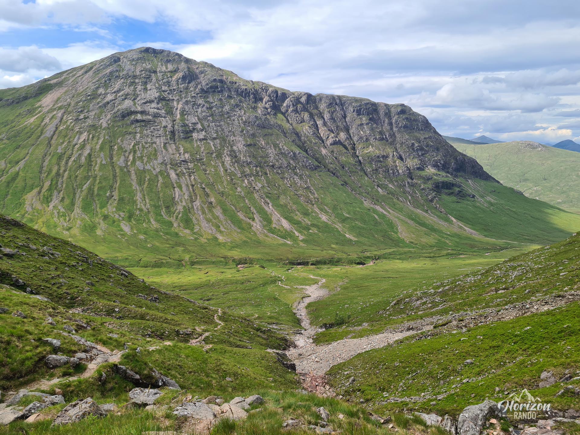
- 360° panoramic views from the summits: admire the impressive views of the Glencoe Valley, the steep walls of Buachaille Etive Beag, and the desolate expanse of Rannoch Moor.
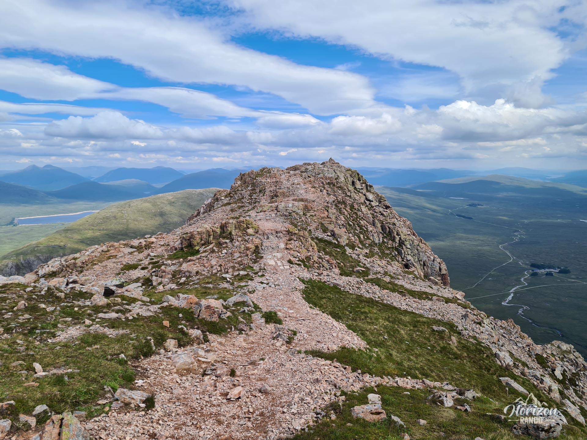
- The spectacular ridge traverse linking the four peaks, which reveals sweeping views of the two steep-sided valleys on either side.
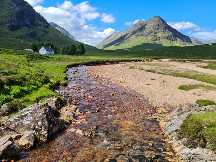
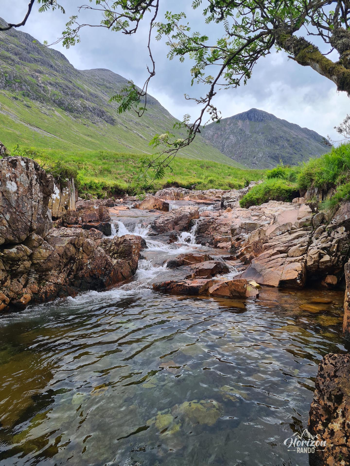
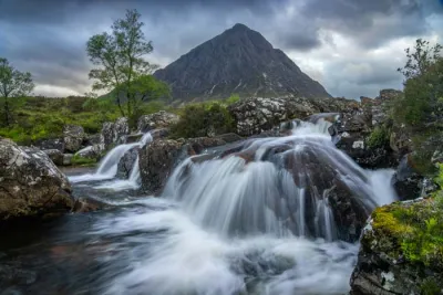
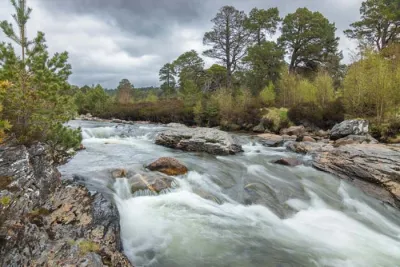
- The peaceful return via the Lairig Gartain Valley: An excellent, nearly flat trail alongside the River Coupall and its picturesque waterfalls.
Practical information
Parking
The main car park at Buachaille Etive Mòr in Altnafeadh (on the A82) has limited spaces. A convenient alternative is to park at the Glencoe Viewpoint (1 km further west), located directly at the end point of the hike. In any case, arriving early in the morning is highly recommended to secure a parking space, especially in good weather.
Photos
See all 16 photos →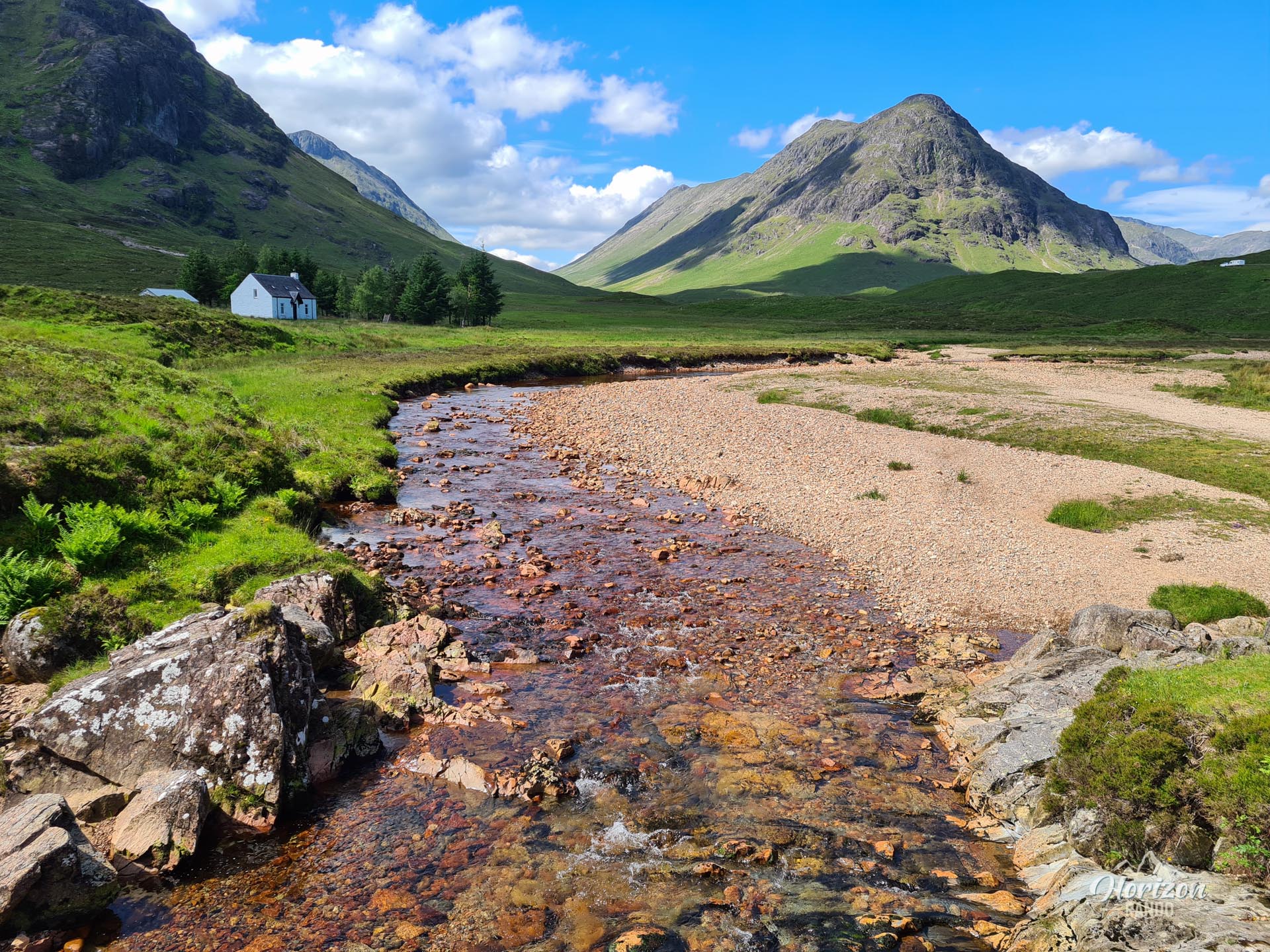
More hikes to do in Scotland
Nearby hikes










Printed from www.horizonrando.fr/en/scotland/buachaille-etive-mor/