





Coire Lagan Hike
Key facts about the hike
- Difficulty
- Moderate Hikes are rated from very easy to very hard: my difficulty scale
- Duration
- 4h Estimated time, short breaks included (photos, water, snacks), picnic not included: how it is calculated
- Distance
- 9.1km
- Elevation gain
- 590m
- Type of route
- Loop
- Maximum altitude
- 575 m
- Vertiginous Five levels, depending on how exposed the route is: the levels in detail
- No
- Marked
- No
- Popularity
- Moderate
- Region
- Isle of Skye
- Start point
- 57.20315, -6.29184
- Activity
- Hiking
Hike overview
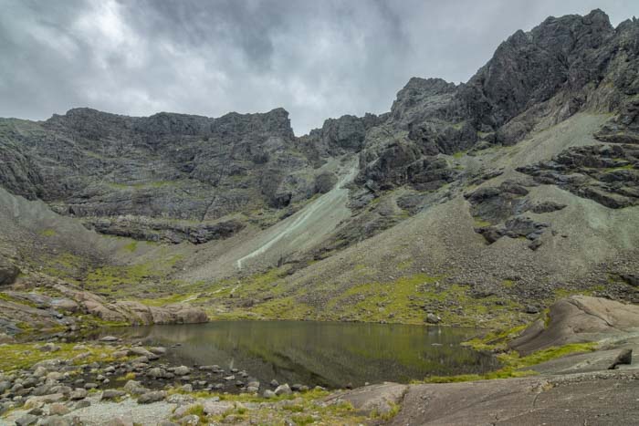
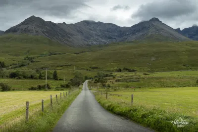
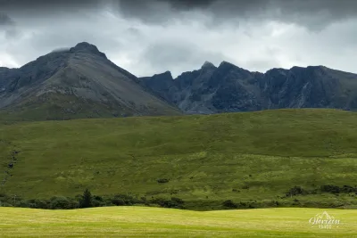
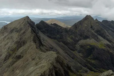
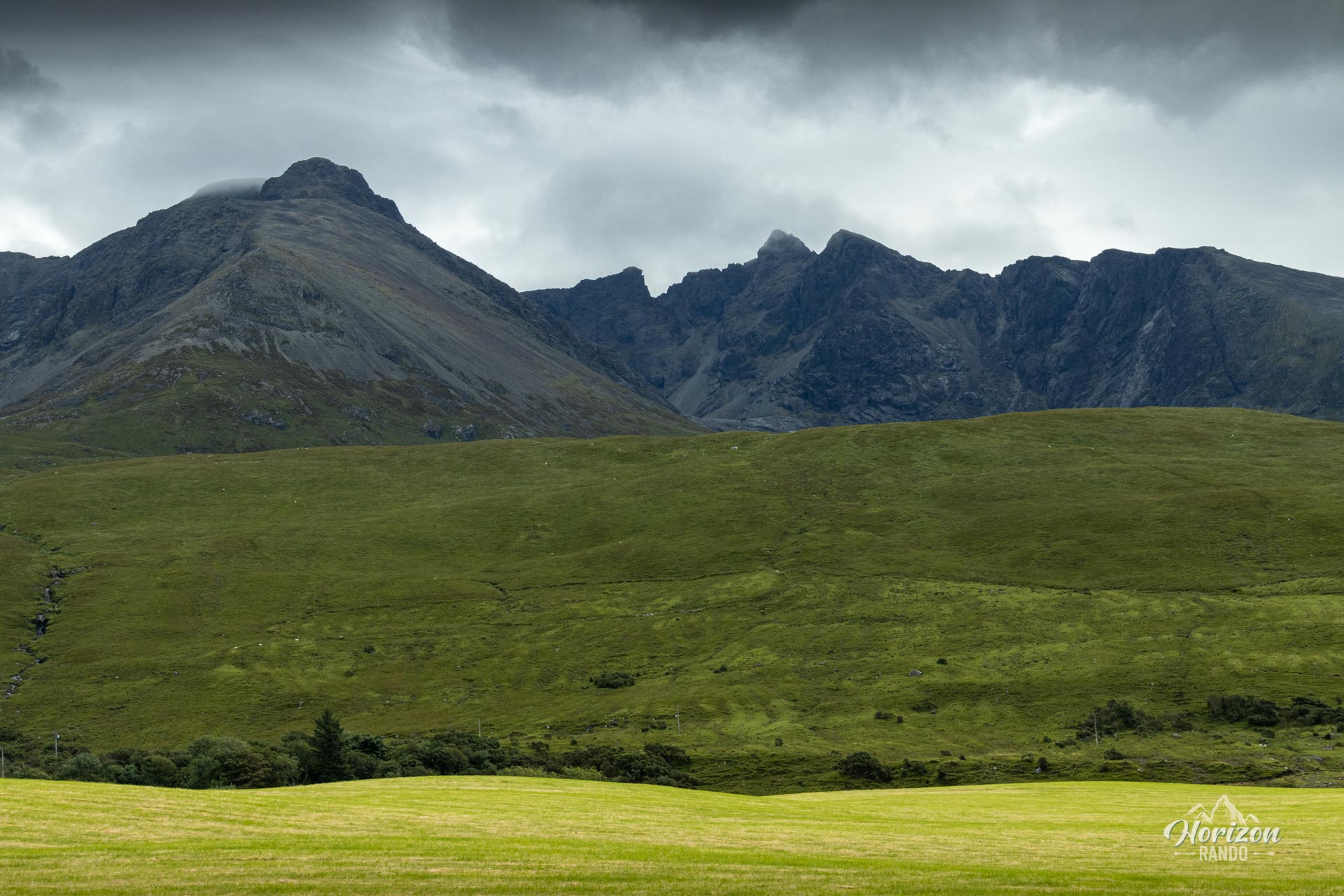
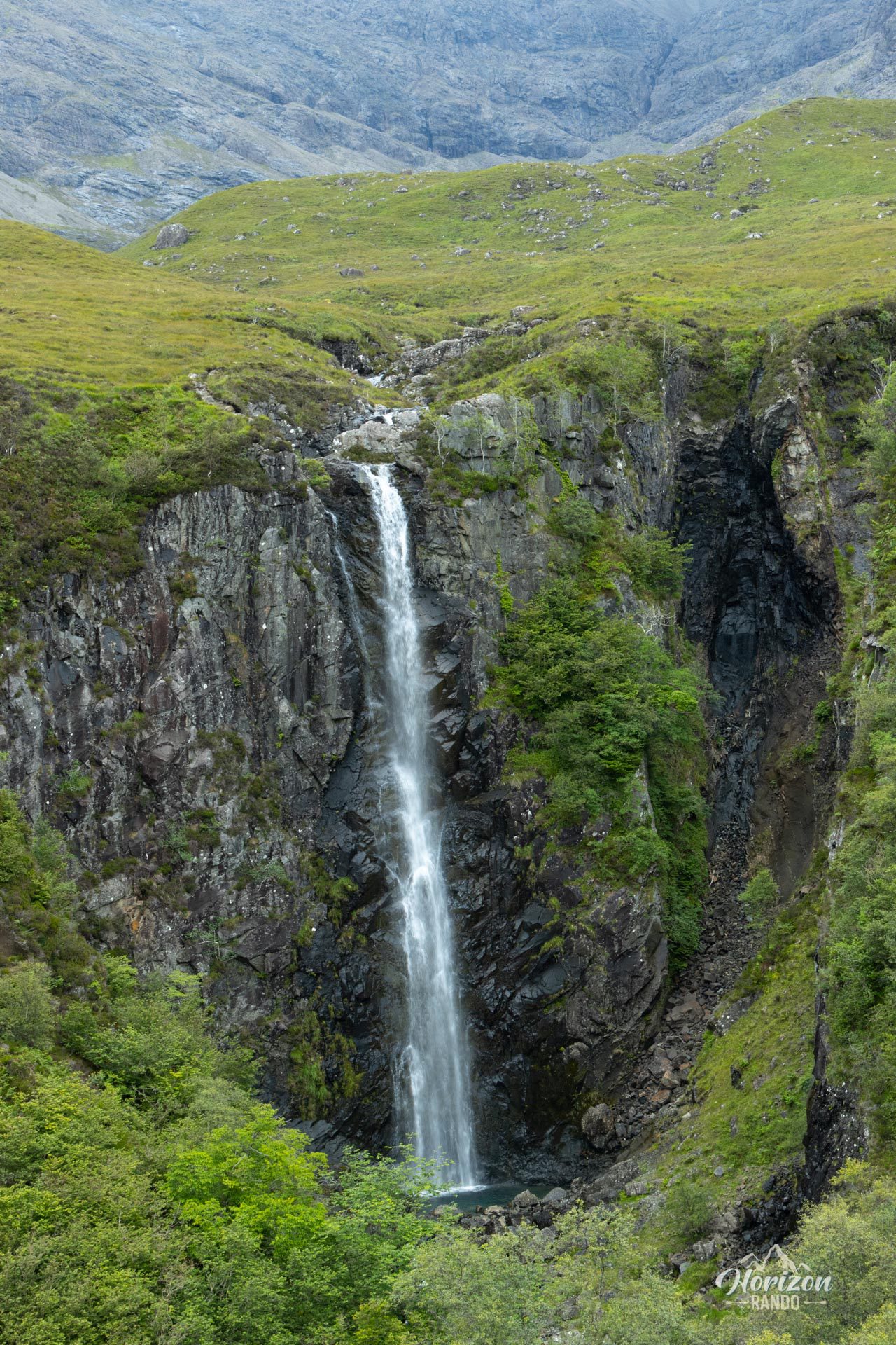
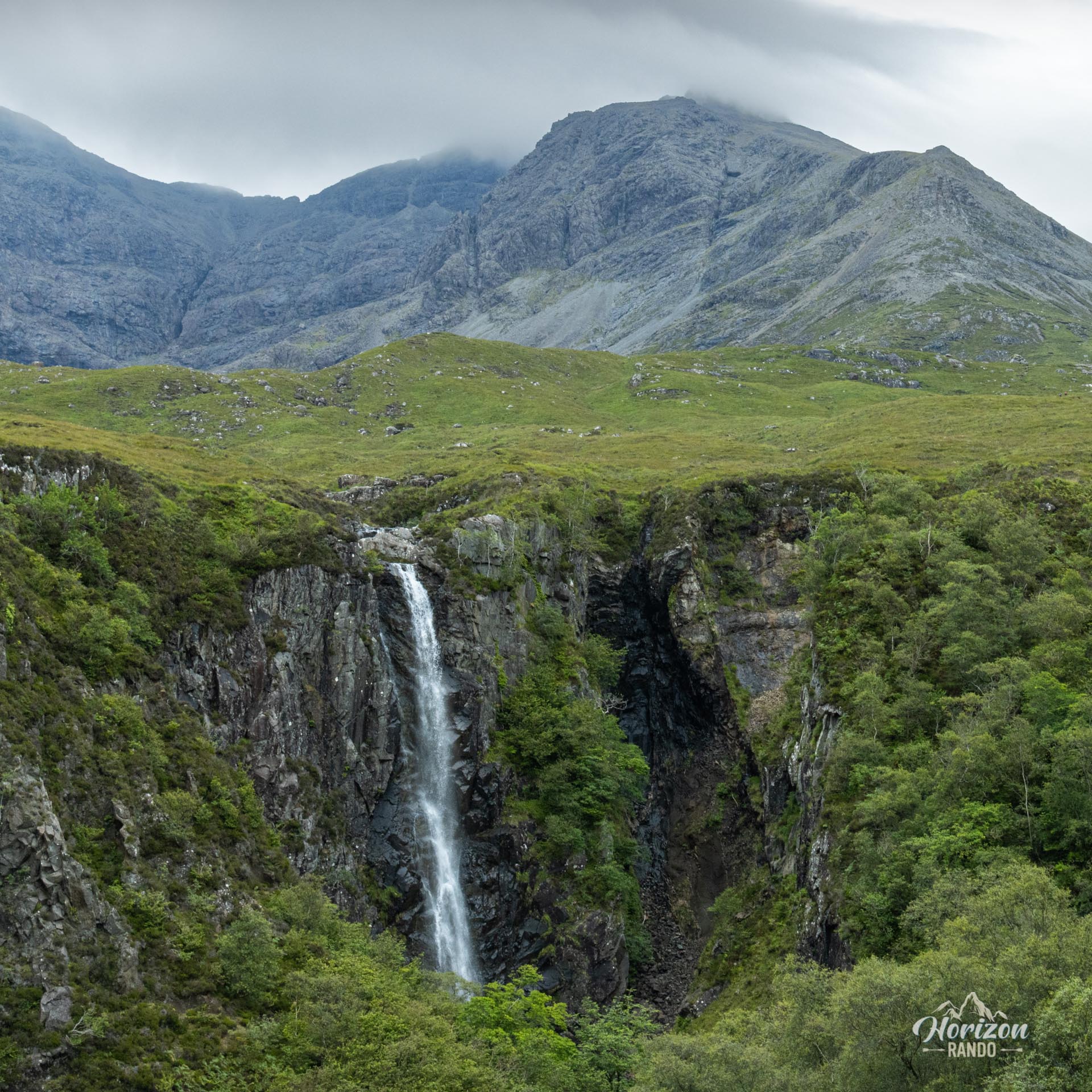
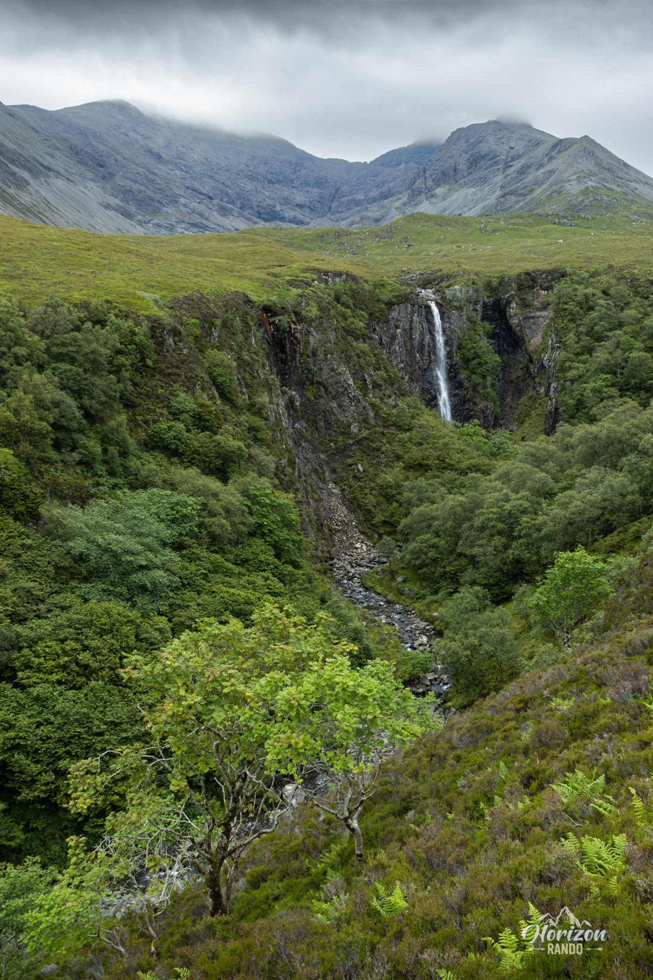
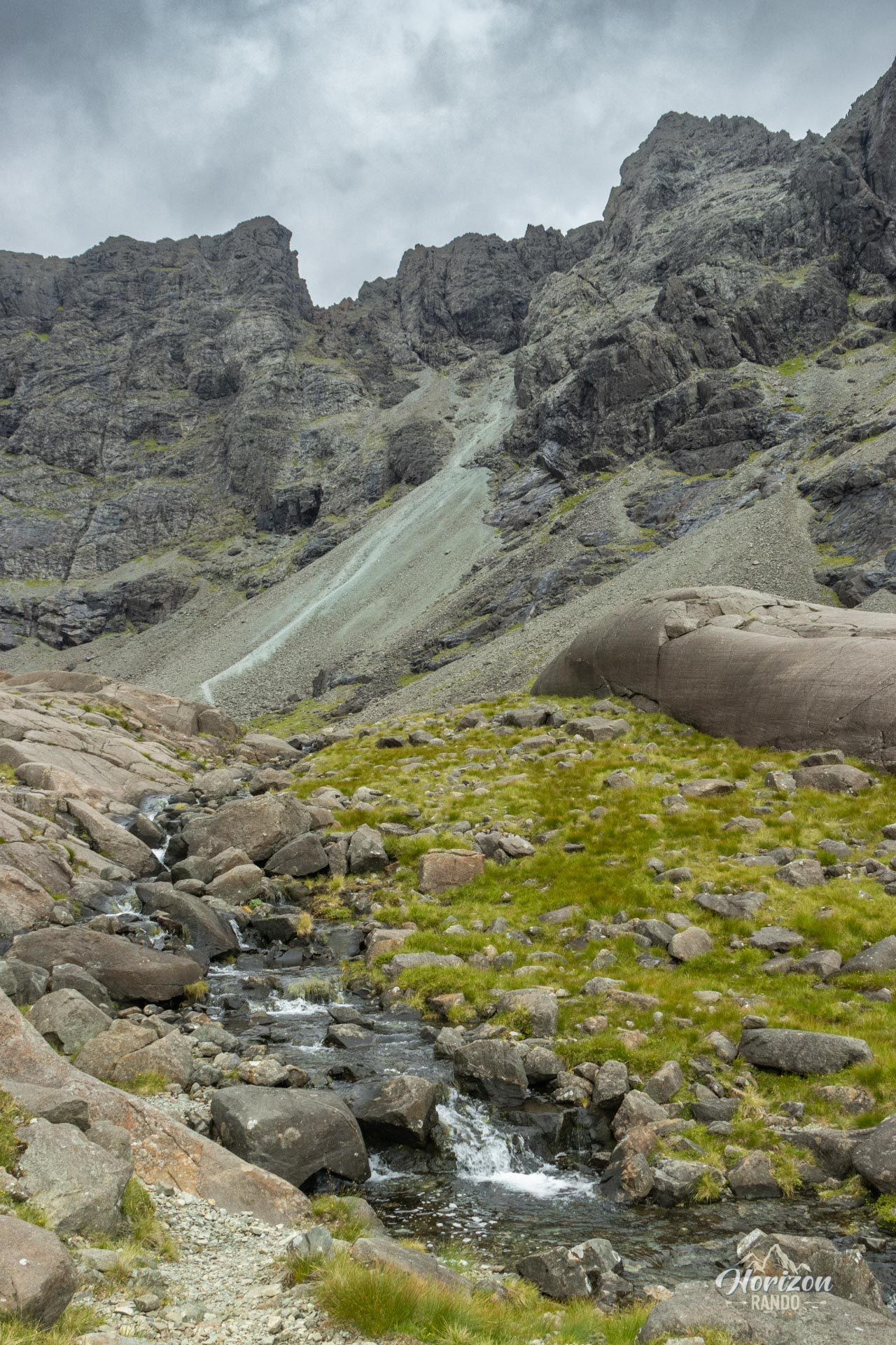
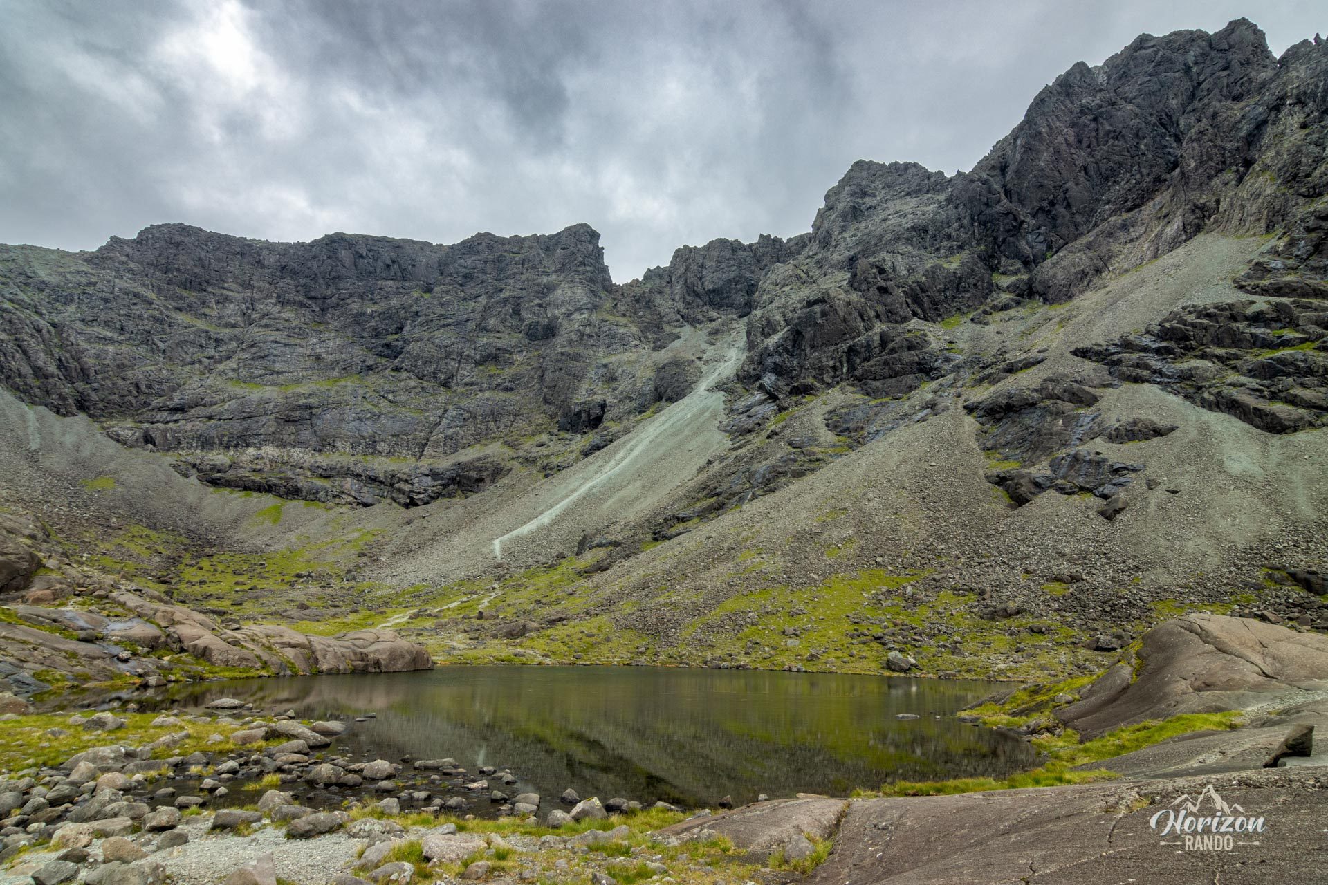
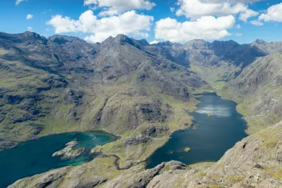
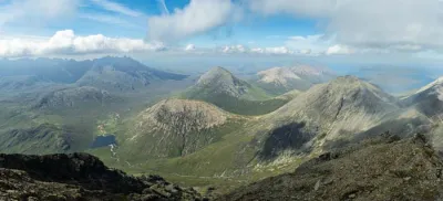
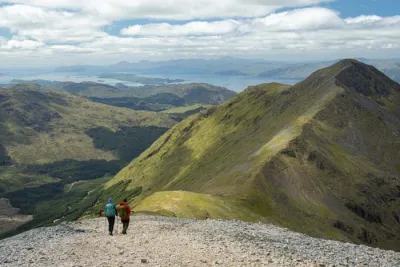
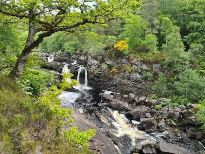
The Coire Lagan hike takes you to the heart of one of the most spectacular cirques in the Black Cuillins, dominated by Sgùrr Alasdair, the highest peak on the Isle of Skye at 992 meters. Nestled in a natural amphitheater of vertiginous cliffs and jagged peaks, the loch exudes a dramatic atmosphere reminiscent of the most beautiful Alpine mountains. The loop route also allows you to discover the impressive Eas Mòr waterfalls, which plunge 40 meters into a wooded gorge.
Map and elevation profile of the hike
Coire Lagan Hike
Difficulties of the hike
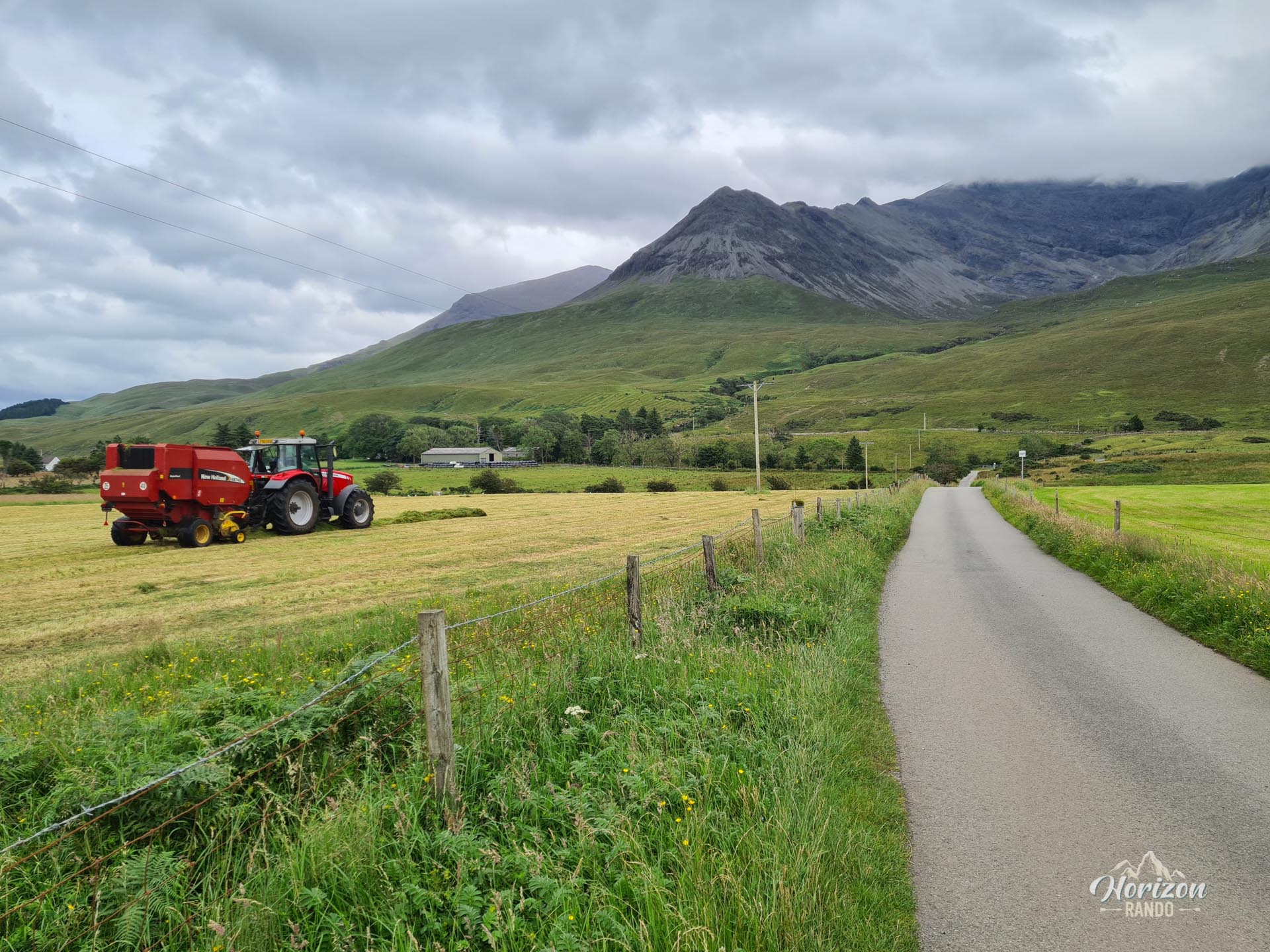
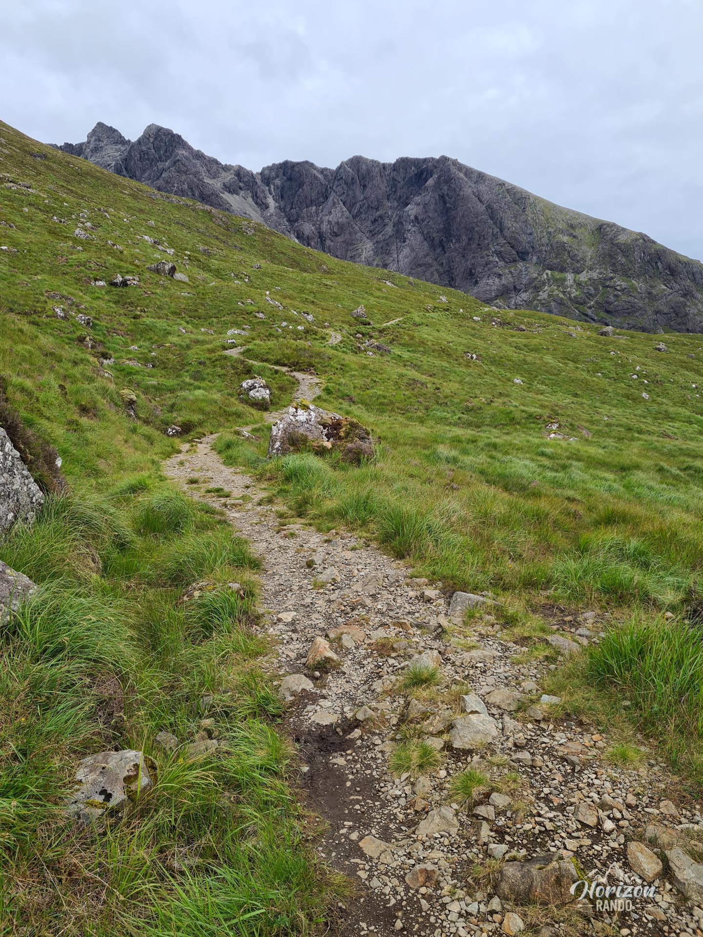
The route follows an unmarked but high-quality trail, as well as a short section of road at the beginning of the hike. The terrain becomes rockier and steeper as you approach the loch but does not present any major technical difficulties.
What you'll love
- The spectacular setting of the cirque: A grandiose rocky amphitheater surrounded by vertical walls and sharp peaks overlooking a small loch.
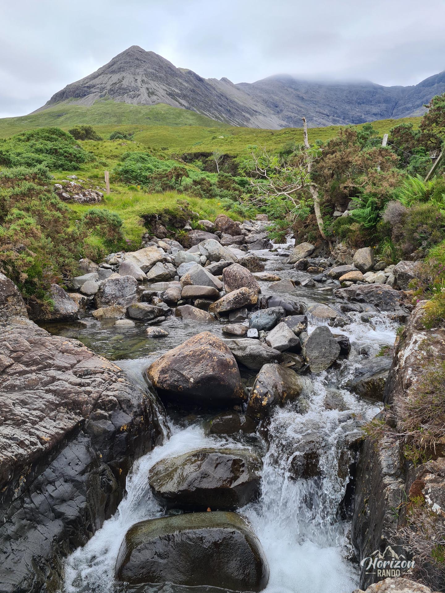
- The Eas Mòr waterfall: During the ascent, you will see this impressive 40-meter waterfall plunging into a narrow gorge with the Black Cuillins as a backdrop.
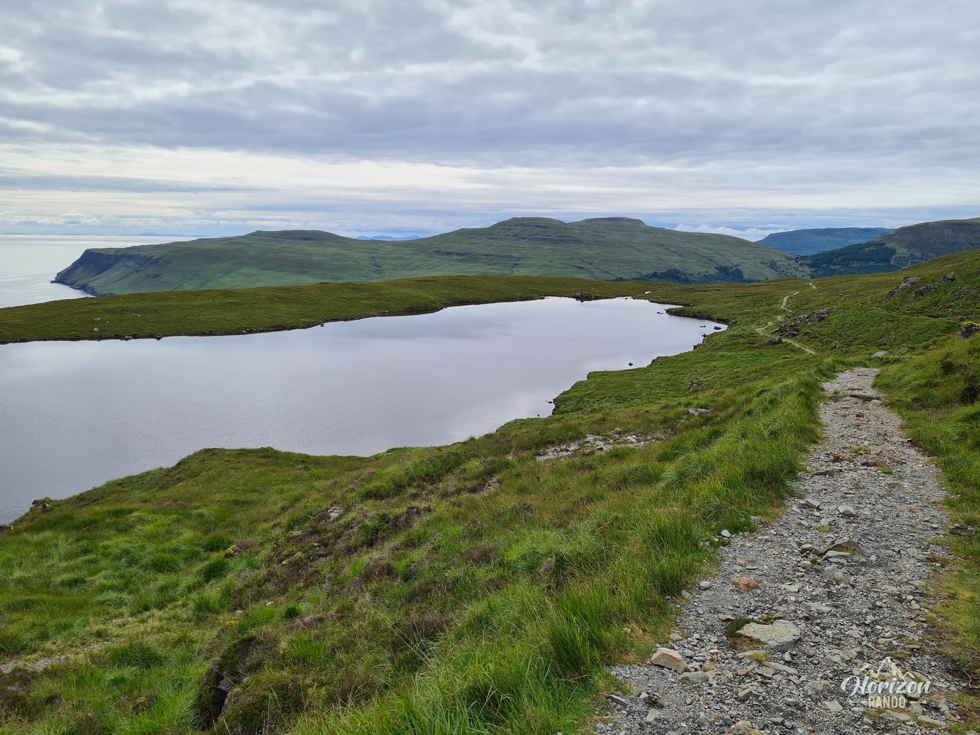
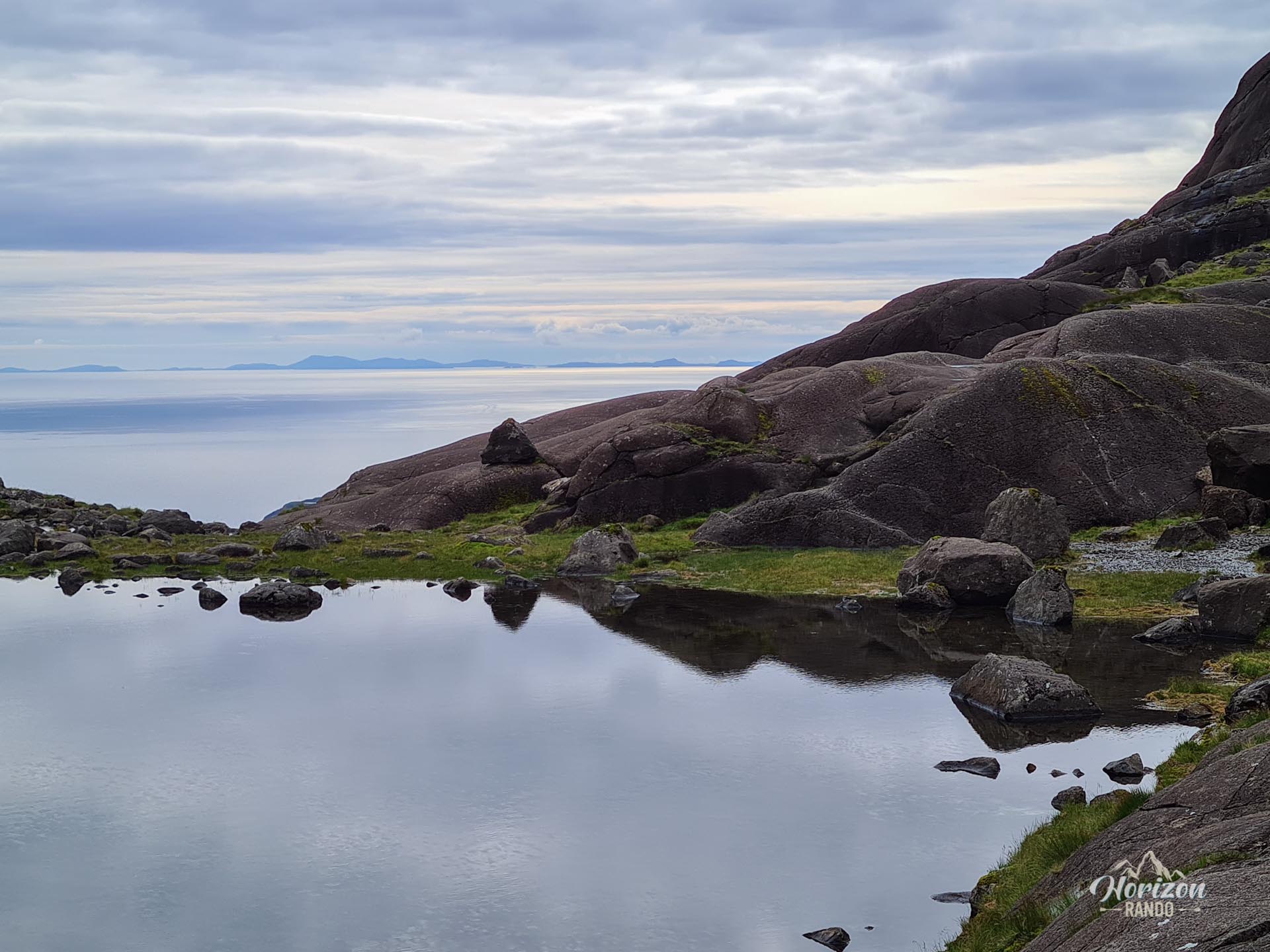
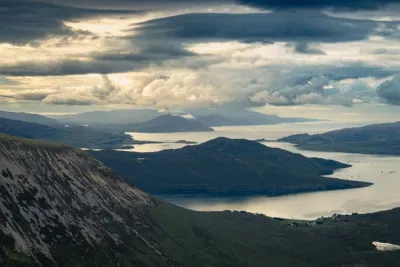
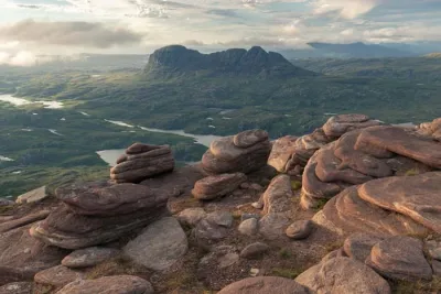
- Exceptional views of the sea and surrounding islands: During the descent, you will overlook Glenbrittle Bay and enjoy spectacular views of the islands of Rhum and Eigg.
Practical information
Parking
Free parking is available at the end of the road leading to Glenbrittle, just before the campsite.
Direction of the route
I recommend doing the loop clockwise to enjoy the best views and avoid the paved road at the end.
Photos
See all 12 photos →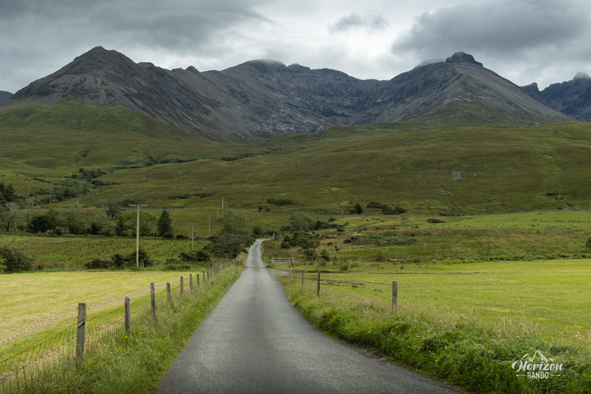
More hikes to do in Scotland
Nearby hikes










Printed from www.horizonrando.fr/en/scotland/coire-lagan/