





Beinn Dearg Mhór Hike
Key facts about the hike
- Difficulty
- Hard Hikes are rated from very easy to very hard: my difficulty scale
- Duration
- 5h30 Estimated time, short breaks included (photos, water, snacks), picnic not included: how it is calculated
- Distance
- 11.3km
- Elevation gain
- 910m
- Type of route
- Loop
- Maximum altitude
- 731 m
- Vertiginous Five levels, depending on how exposed the route is: the levels in detail
- Slightly
- Marked
- No
- Popularity
- Low
- Region
- Isle of Skye
- Start point
- 57.29022, -6.17163
- Activity
- Hiking
Hike overview
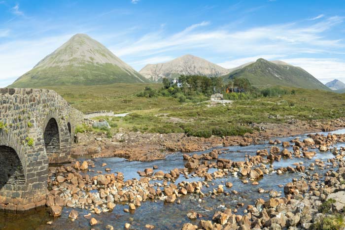
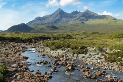
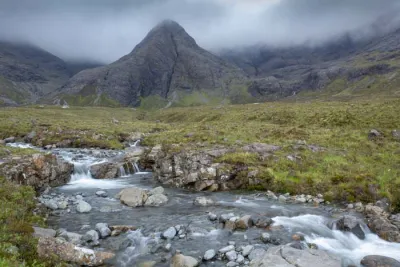
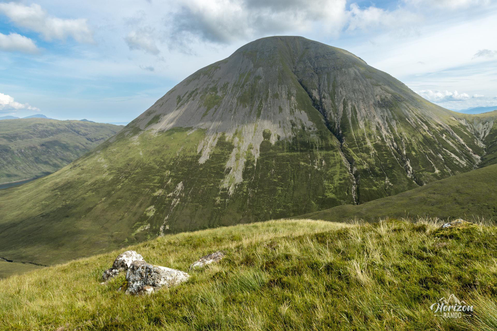
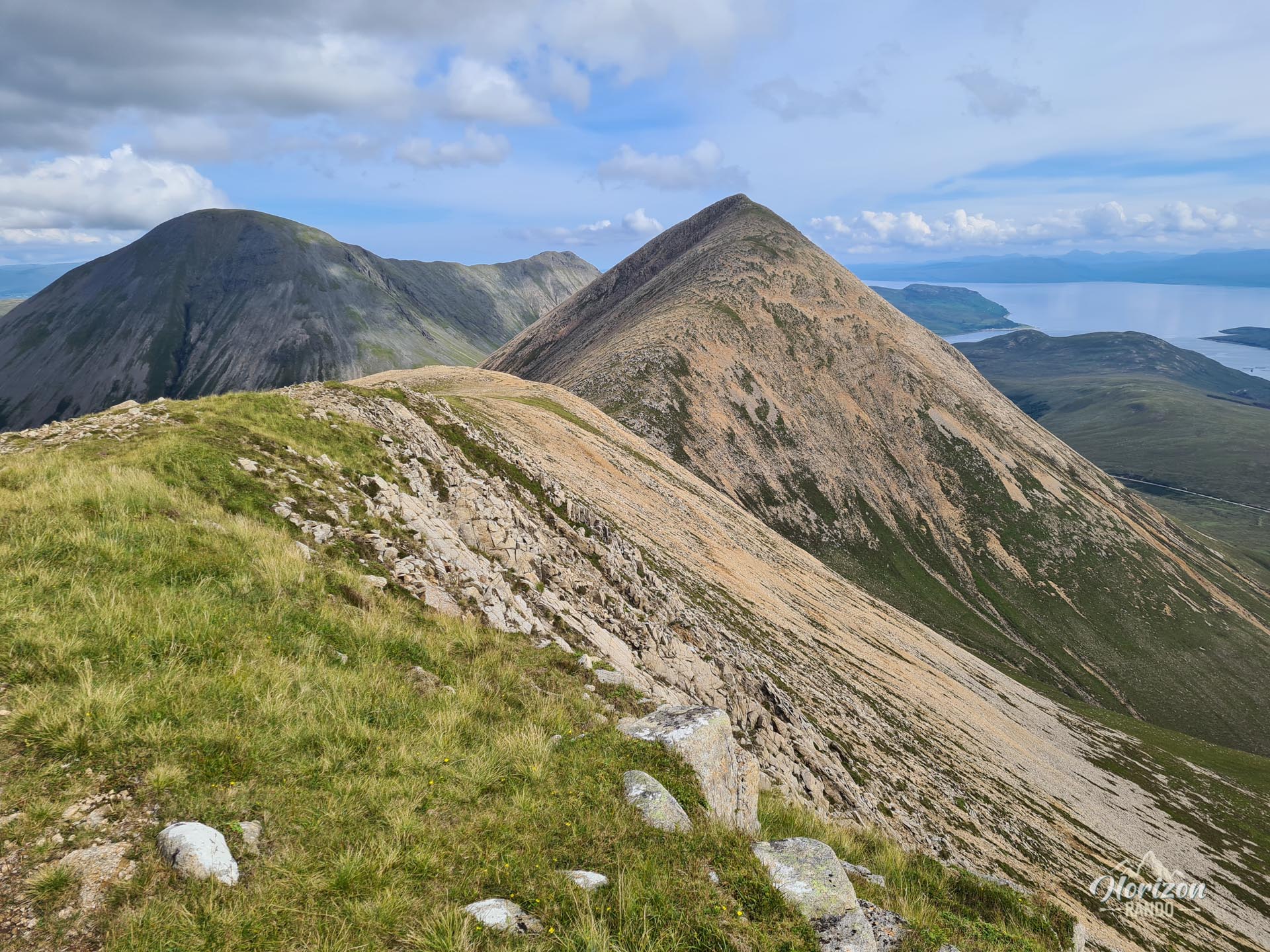
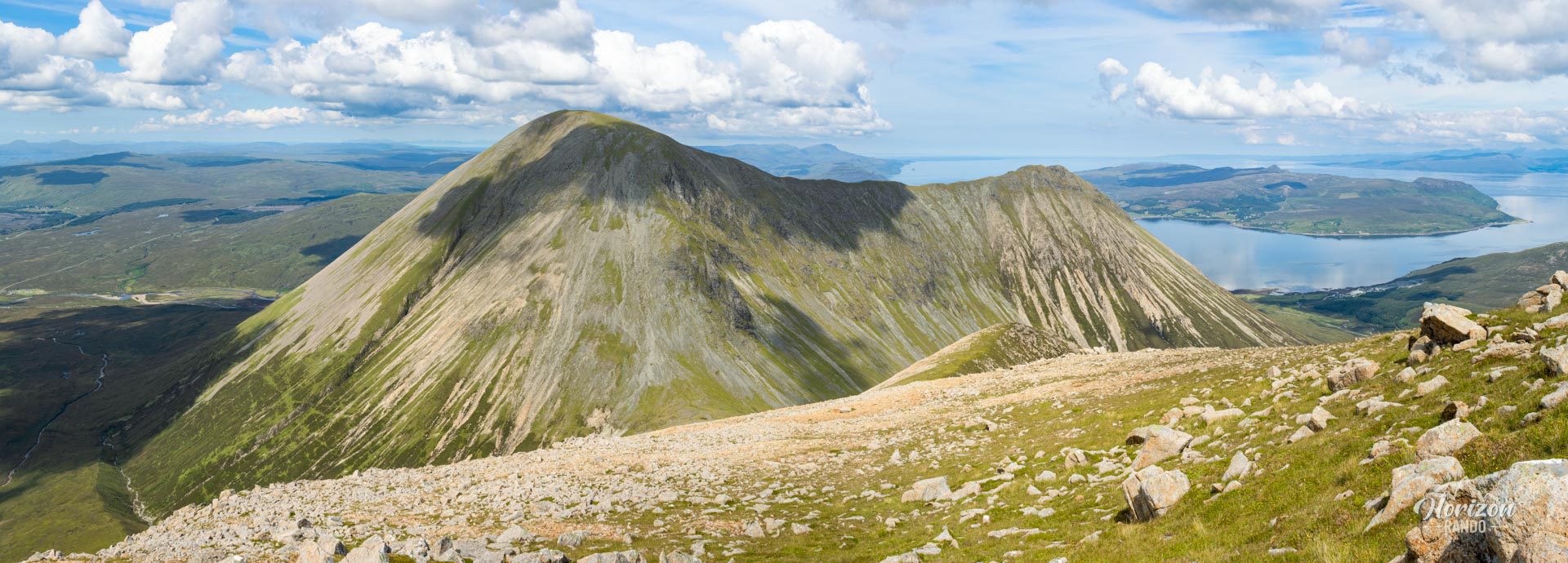
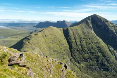
The Beinn Dearg Mhór hike takes you through the Red Cuillin Hills, a granite massif with rounded peaks that contrast sharply with the jagged mountains of the neighboring Black Cuillin. Starting from the stone bridge at Sligachan, this loop trail combines the ascent of two peaks—Beinn Dearg Mheadhonach (651 m) and Beinn Dearg Mhór (731 m)—which are linked by an unforgettable ridge walk offering exceptional panoramic views of the Isle of Skye. However, the Red Cuillin Hills remain relatively uncrowded, promising a wild and unspoiled experience.
Map and elevation profile of the hike
Beinn Dearg Mhór Hike
Description and difficulties of the hike
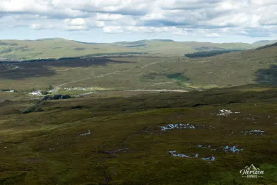
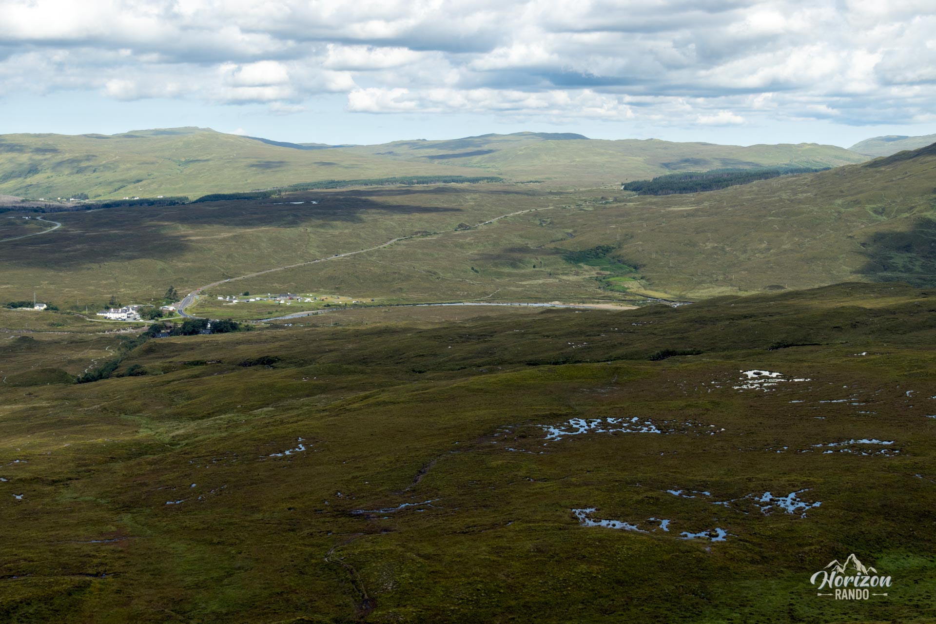
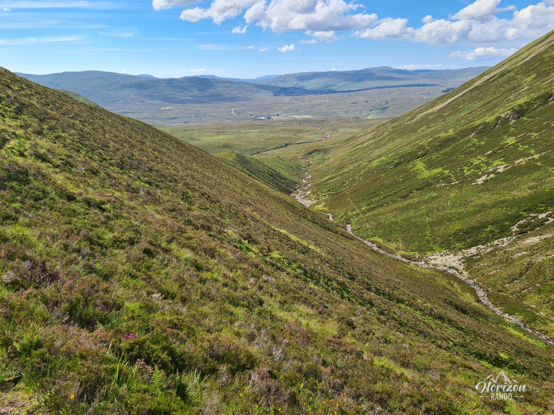
This route requires good physical conditioning due to the varied and demanding terrain. It begins with crossing marshy areas in the Allt Daraich valley, where the trail is sometimes difficult to see and careful navigation is required. After crossing the marshes, the ascent gradually begins to the small intermediate summit of Sròn a'Bhealain (429 m) and then becomes steeper.
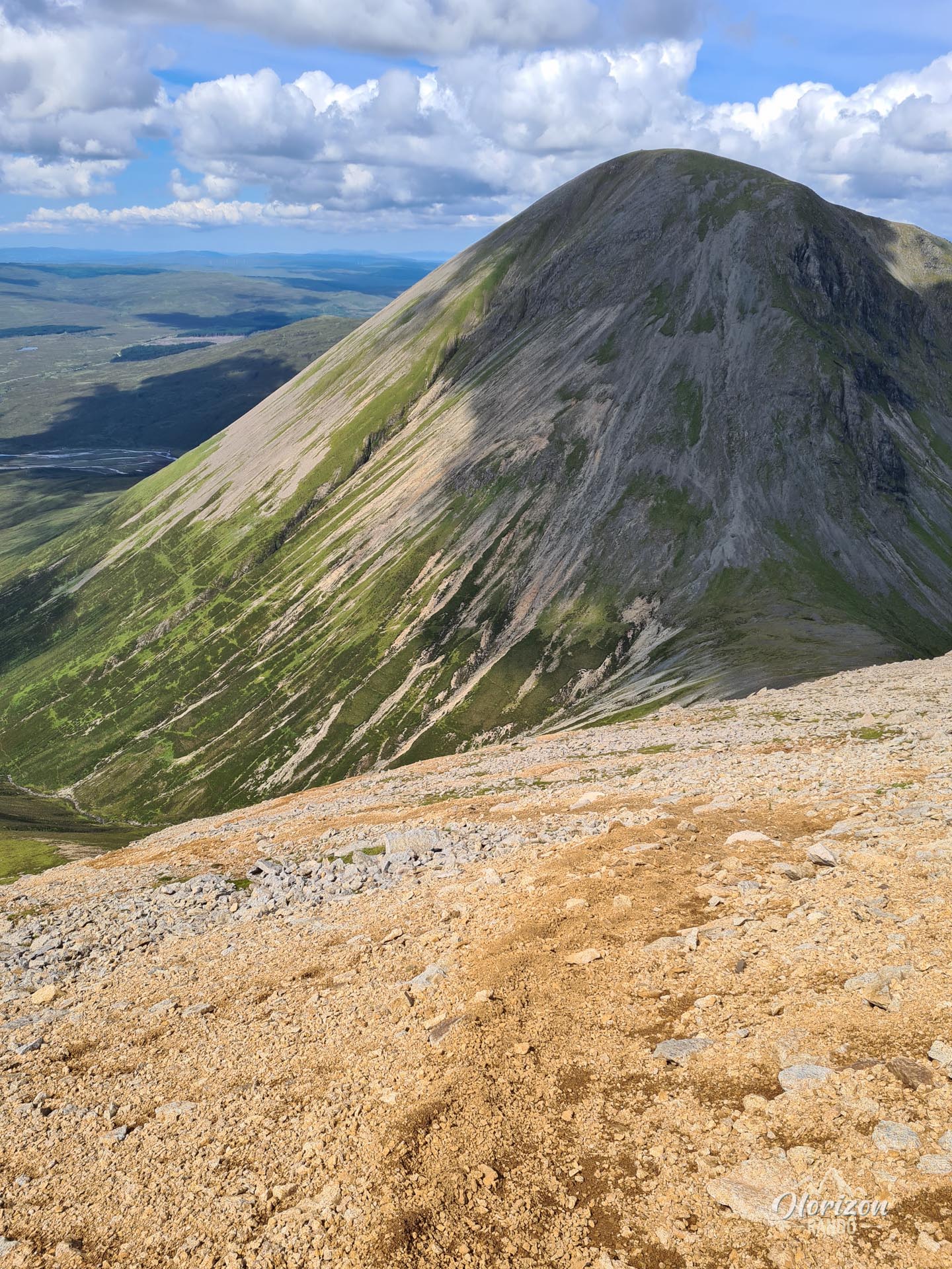
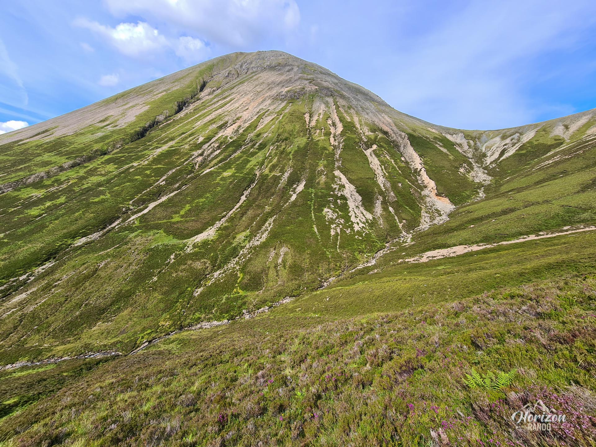
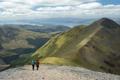
The climb to Beinn Dearg Mheadhonach (651 m) and Beinn Dearg Mhór (731 m) is mainly through scree covering these mountains' slopes. These slopes are particularly steep and slippery, characteristic of the Red Cuillin and requiring caution and vigilance, especially on the descent.
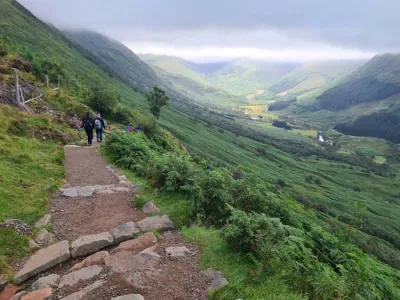
Fortunately, a clearly visible trail guides you along most of the route, with the notable exceptions of the marshy areas at the beginning and end. Therefore, navigation is generally easy in good weather.
What you'll love
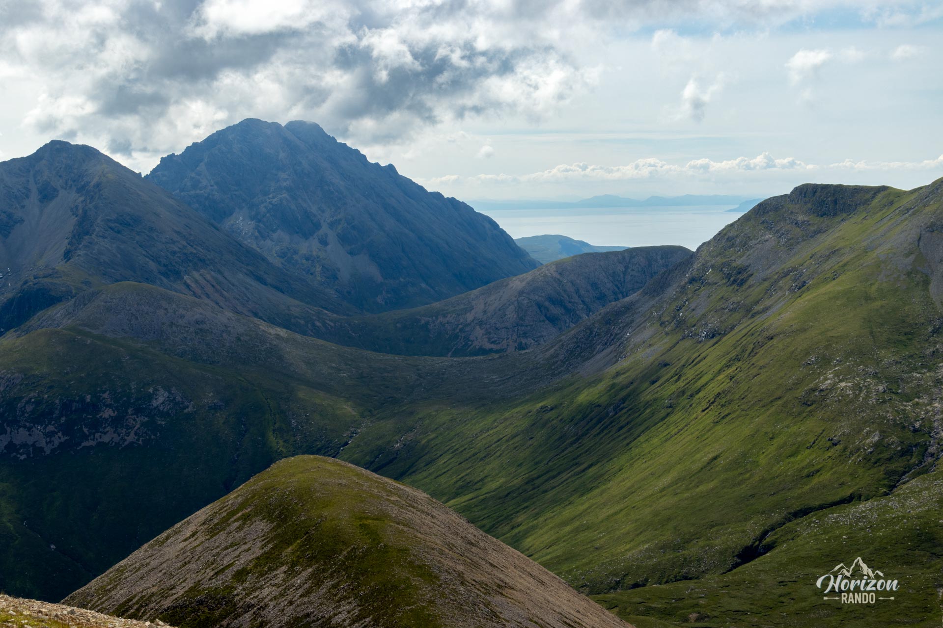
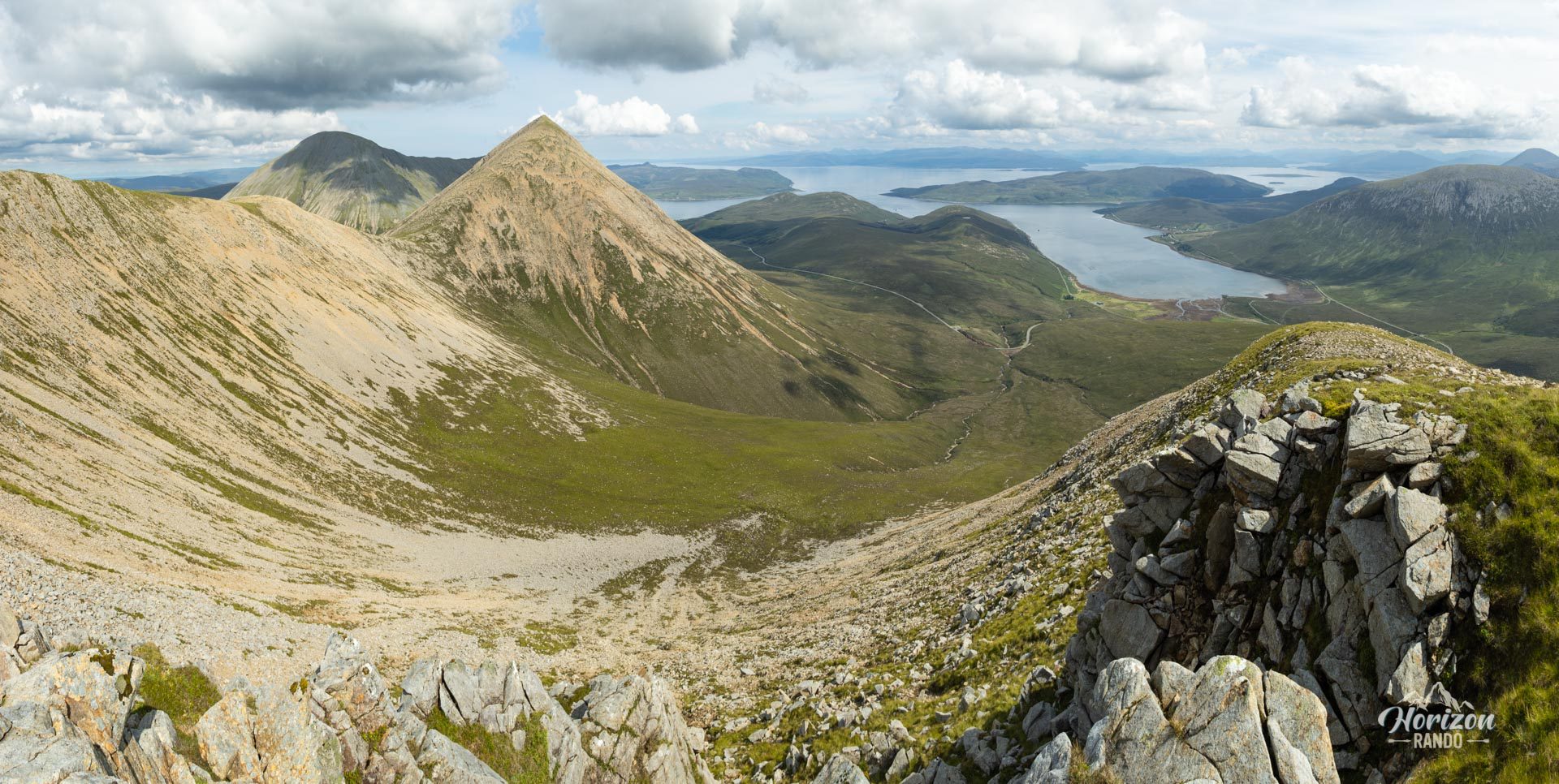
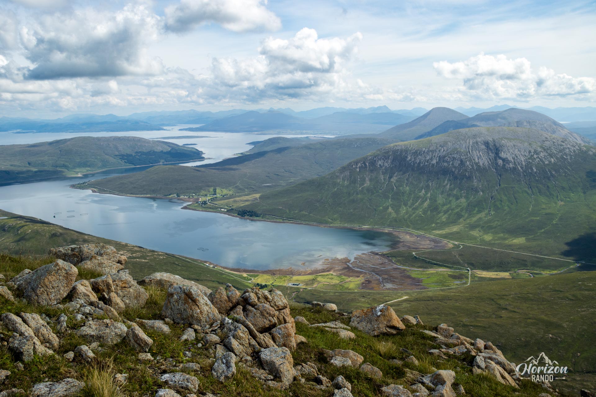
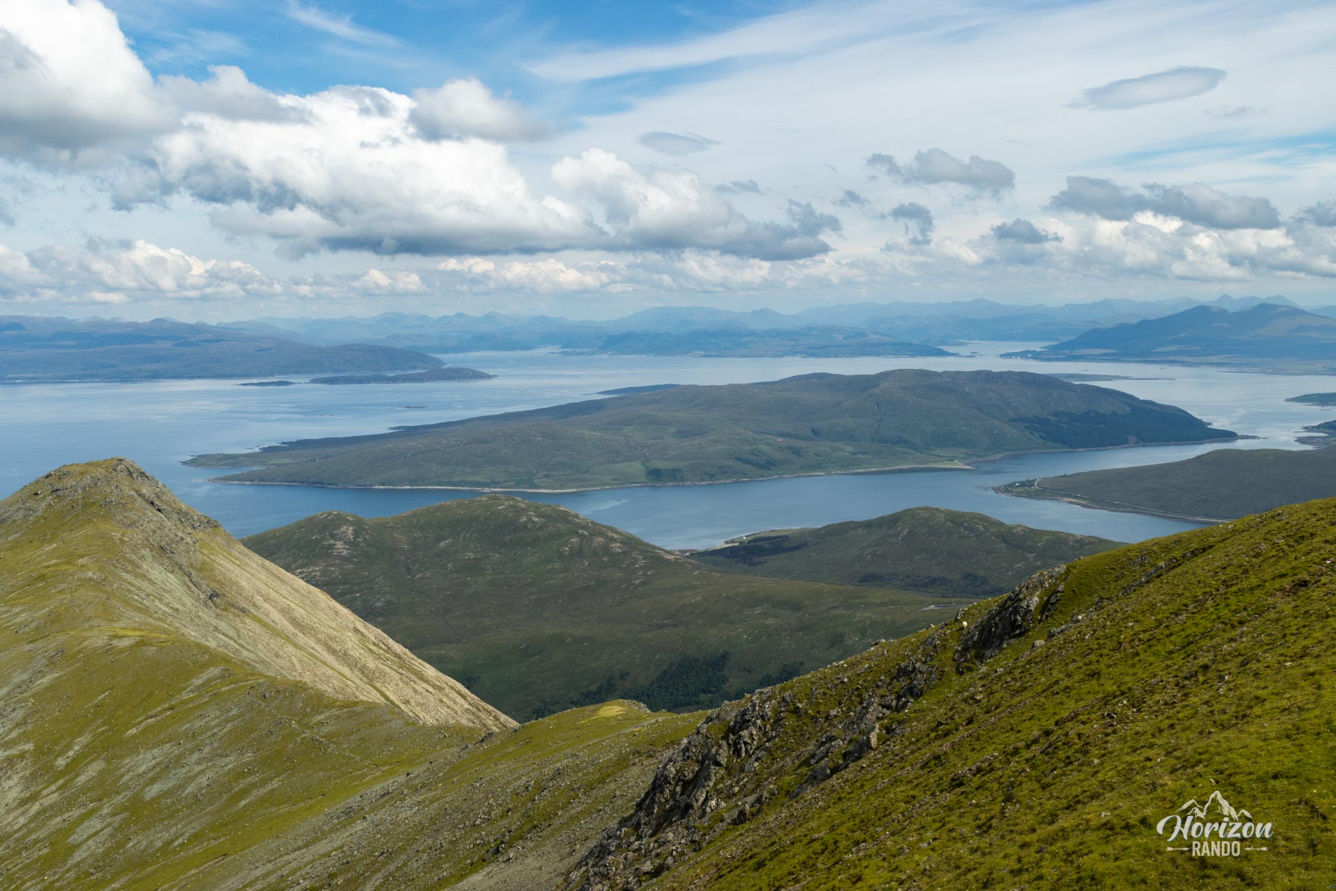
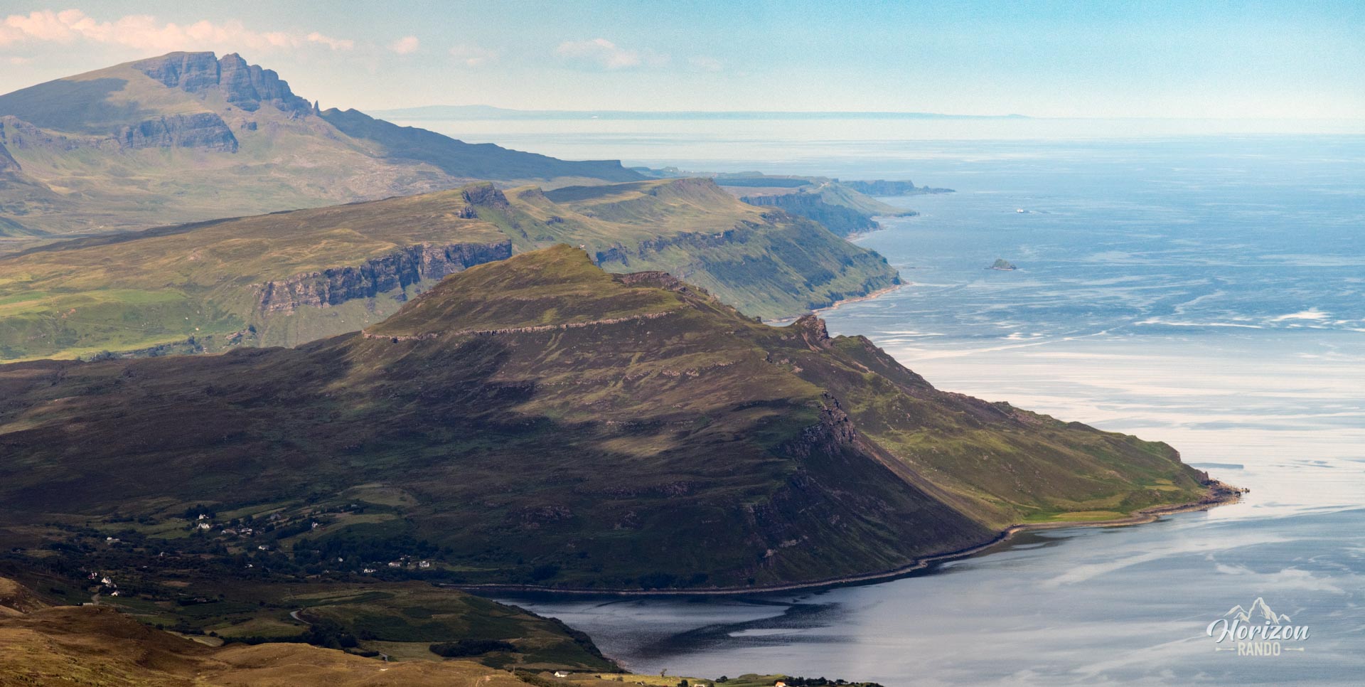
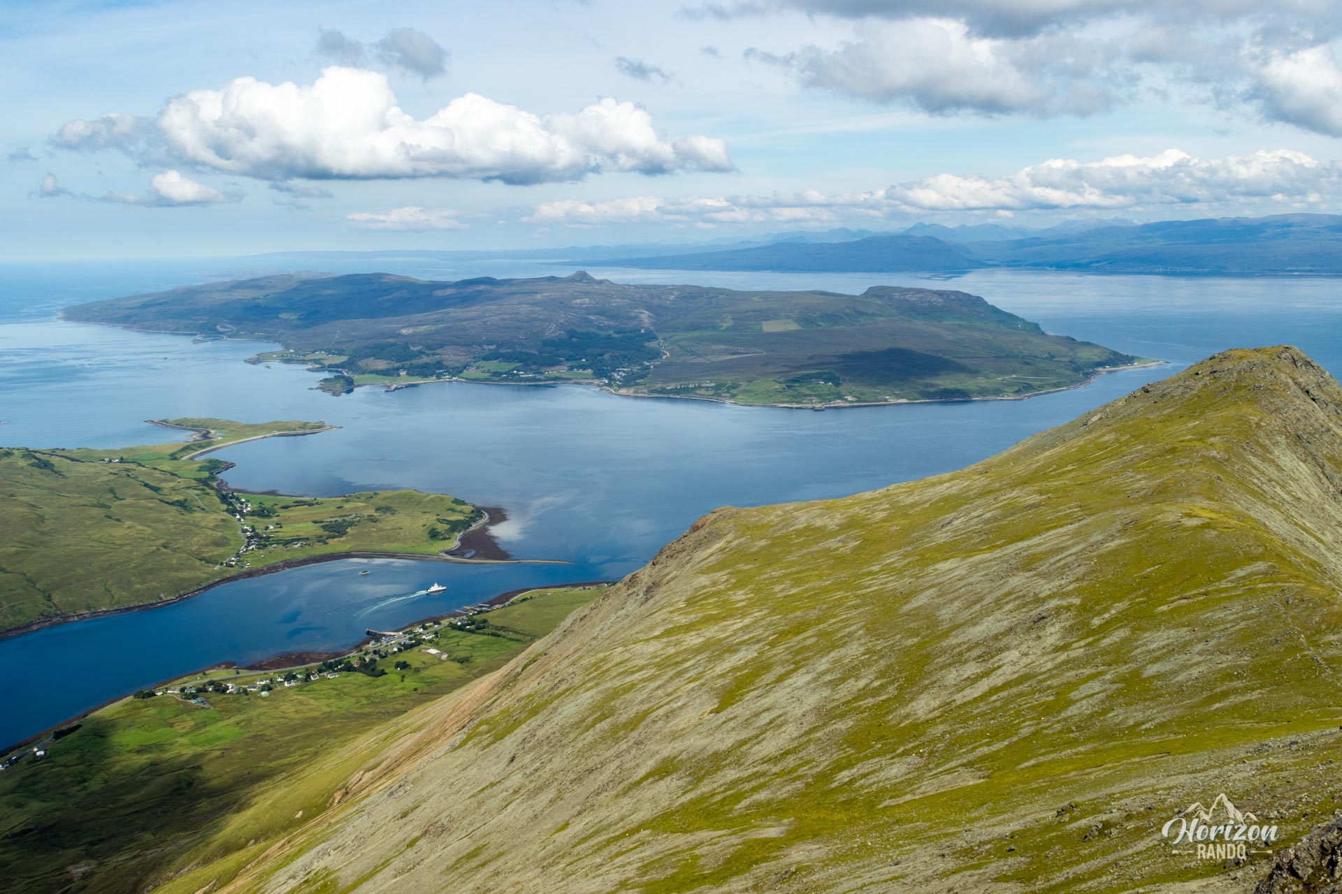
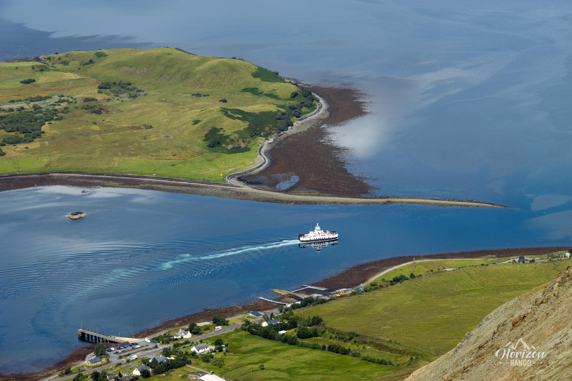
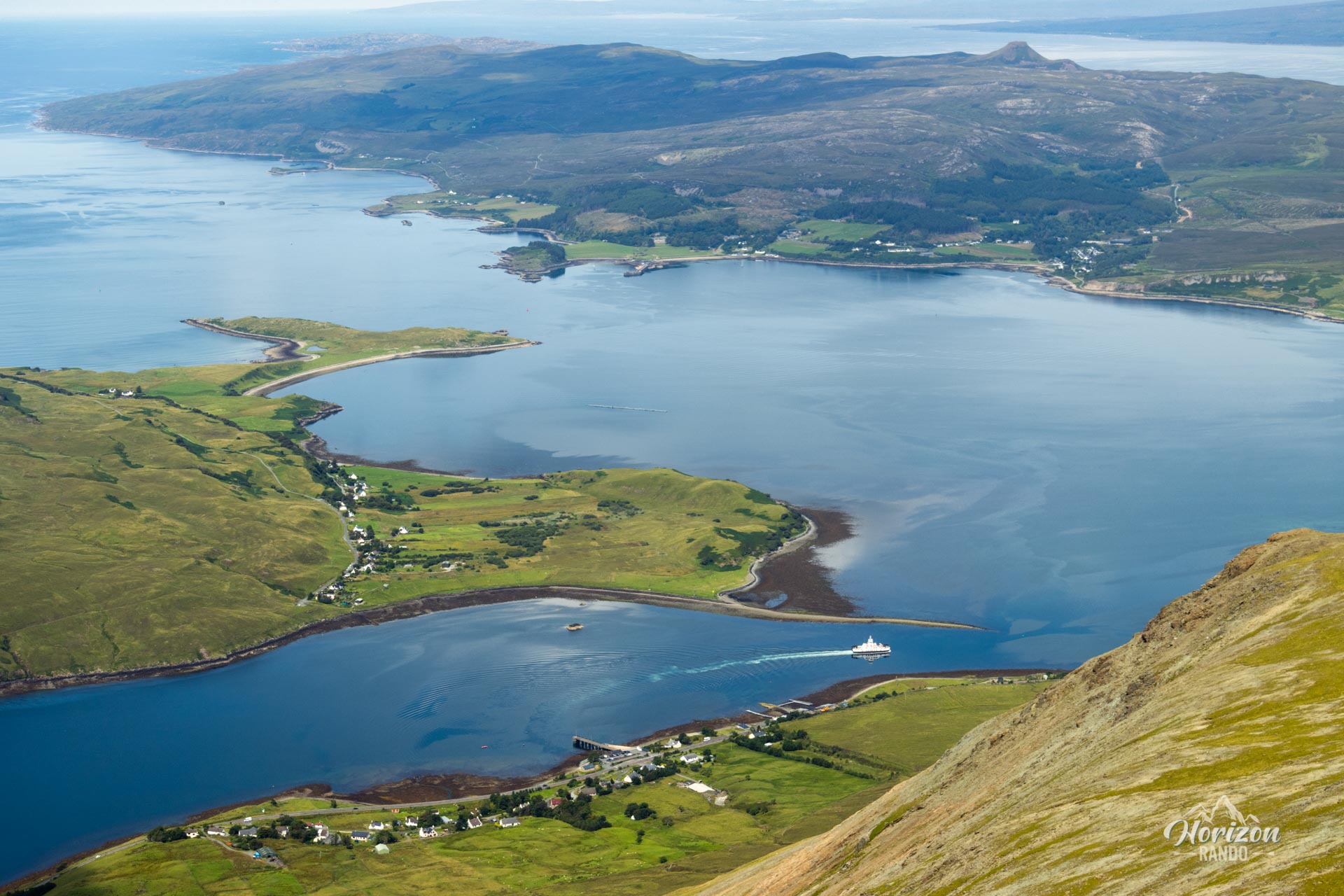
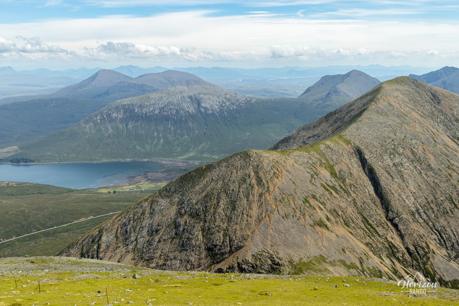
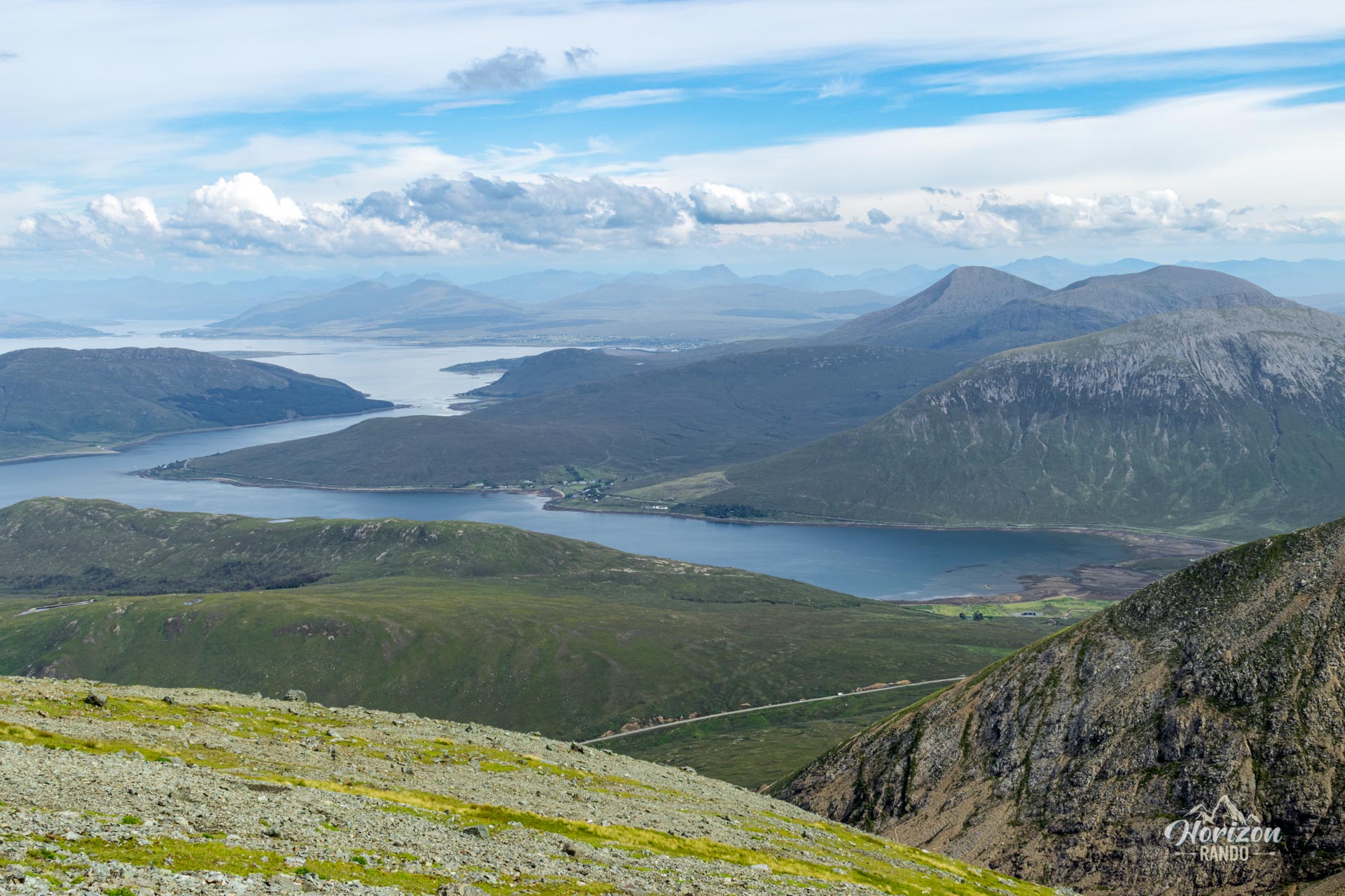
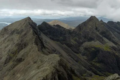
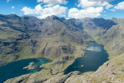
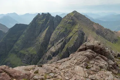
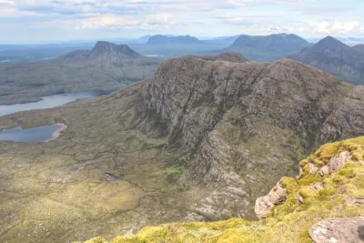
- Spectacular views throughout the route: Panoramas of the Isle of Skye, the neighboring Black Cuillin with their sharp ridges, the Sligachan Valley, and the surrounding lochs.
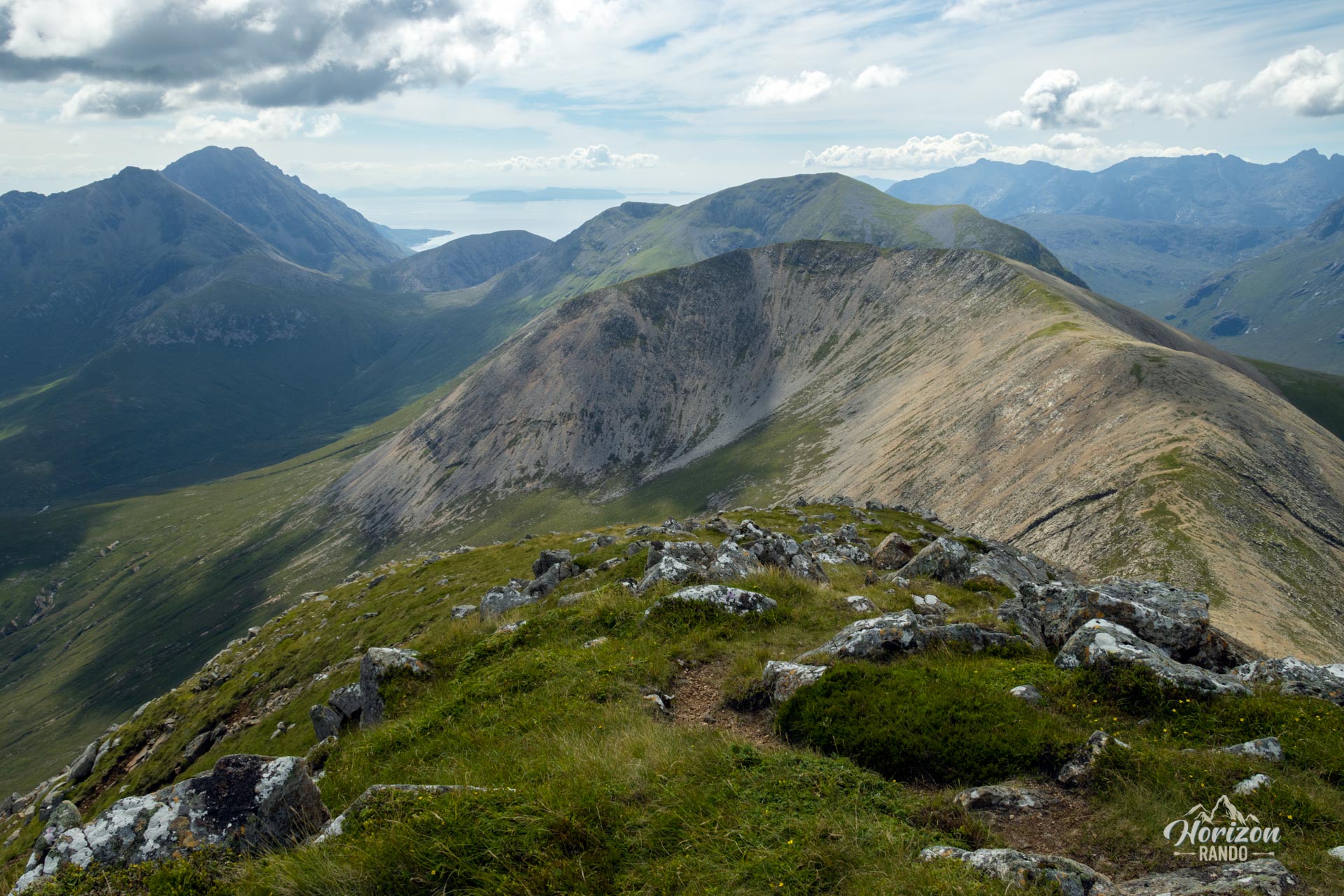
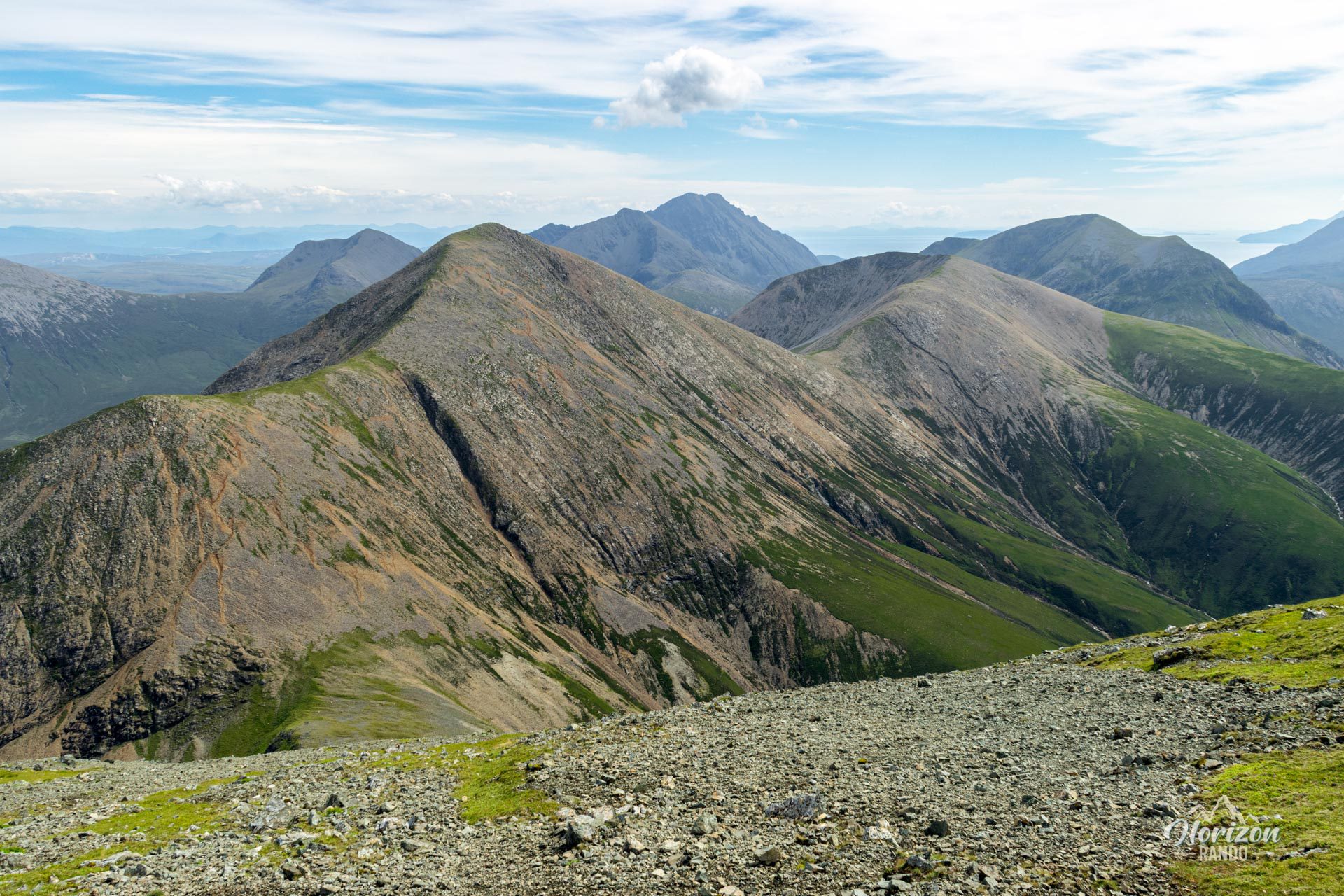
- The exceptional ridge walk connecting the two main peaks in a wild, rocky setting typical of the Red Cuillin.
- The low number of hikers compared to popular hikes on Skye, guaranteeing a more peaceful experience in nature.
Practical information
Departure
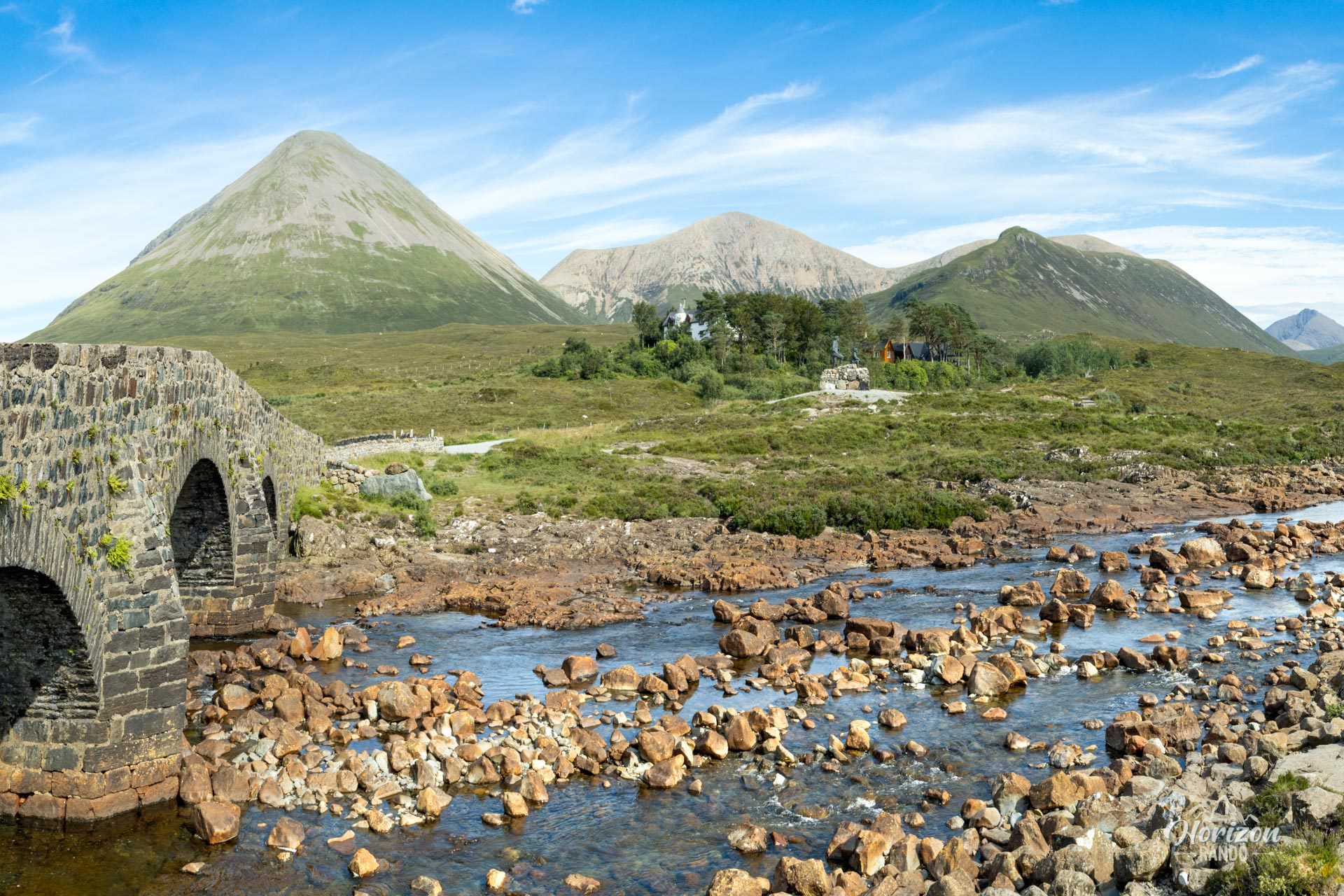
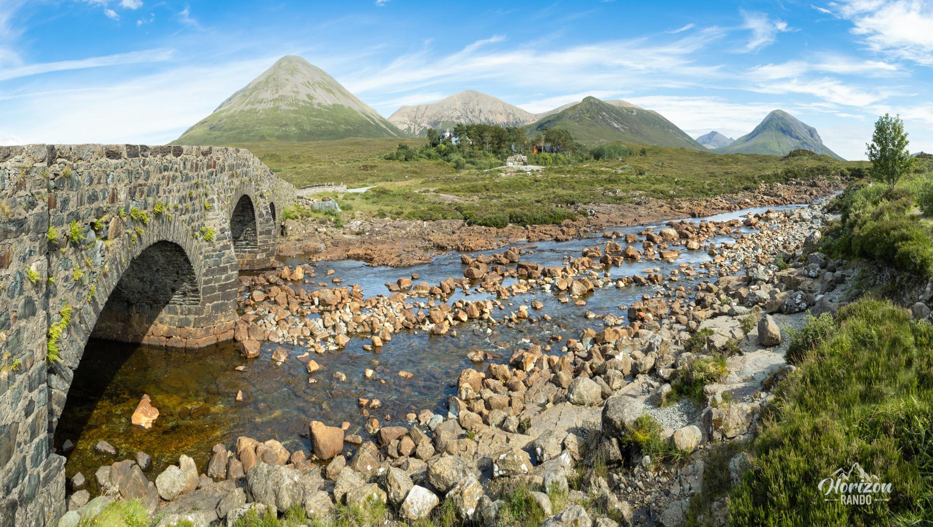
Free parking is available near the iconic Sligachan stone bridge, a historic landmark on Skye.
Equipment
Due to the marshy sections at the start and end of the hike, waterproof hiking boots are highly recommended.
Extension to Glamaig
For those seeking an extra challenge, it is possible to climb Glamaig, also called Sgurr Mhairi (775 m), another peak in the Red Cuillin. This route starts from the pass between Beinn Dearg and Glamaig (download the GPX track). Please note, however, that this is an off-trail route on extremely steep, scree-covered slopes. Stick to grassy areas to reduce the risk of slipping. On a clear day, the summit of Glamaig offers panoramic views of nearly the entire island of Skye.
Photos
See all 22 photos →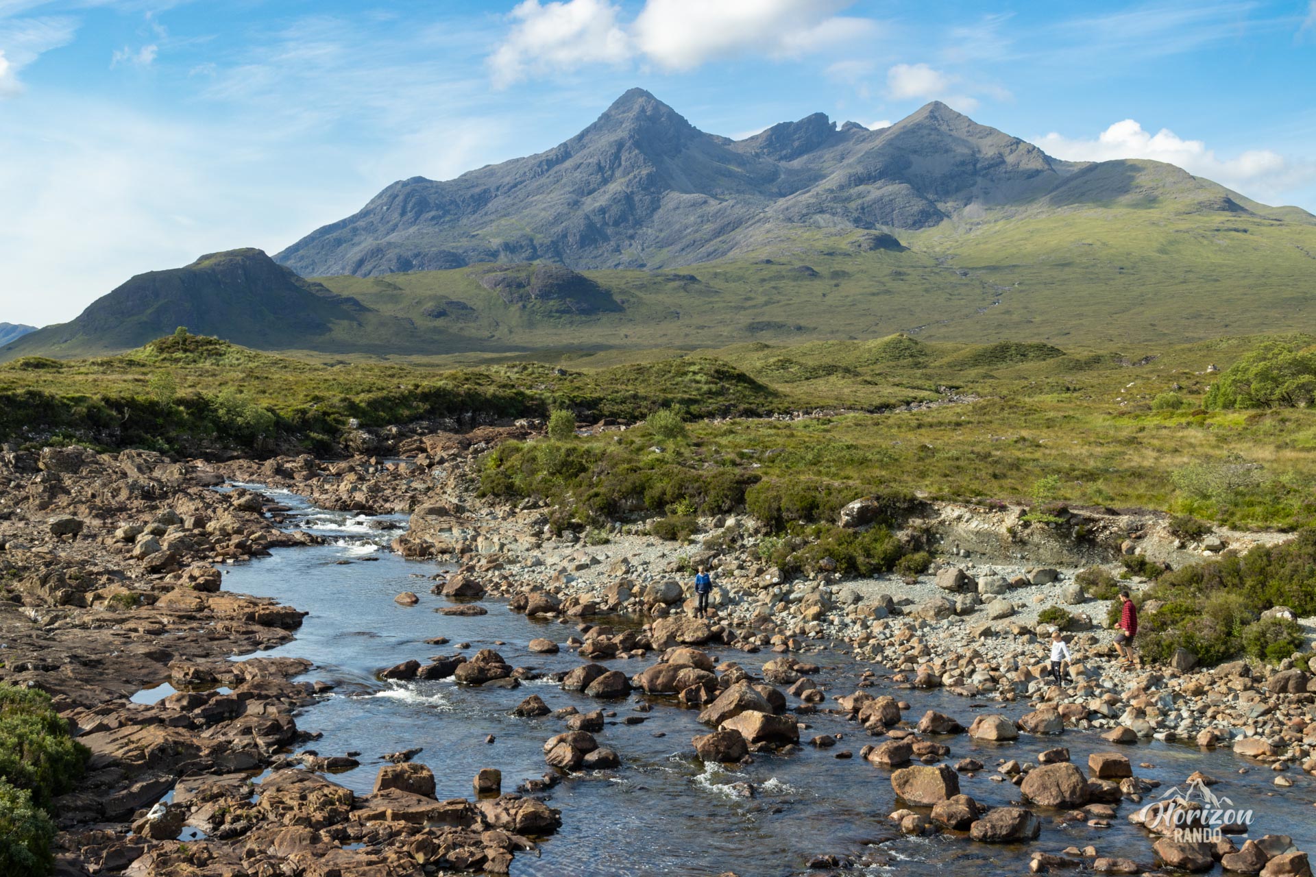
More hikes to do in Scotland
Nearby hikes











Printed from www.horizonrando.fr/en/scotland/beinn-dearg-mhor/