





Ben Nevis Hike
Key facts about the hike
- Difficulty
- Hard Hikes are rated from very easy to very hard: my difficulty scale
- Duration
- 6h30 Estimated time, short breaks included (photos, water, snacks), picnic not included: how it is calculated
- Distance
- 15.9km
- out and back
- Elevation gain
- 1,330m
- Type of route
- Out and back
- Maximum altitude
- 1,345 m
- Vertiginous Five levels, depending on how exposed the route is: the levels in detail
- No
- Marked
- Yes
- Popularity
- High
- Region
- Glencoe
- Start point
- 56.81023, -5.07667
- Activity
- Hiking
Hike overview
The Ben Nevis hike leads to the summit of the highest mountain in the United Kingdom, which rises to an altitude of 1,345 meters. Located near Fort William at the western end of the Grampians, this iconic mountain attracts more than 150,000 hikers each year seeking the prestige of having climbed the "British roof," three-quarters of these hikers take the route described here.
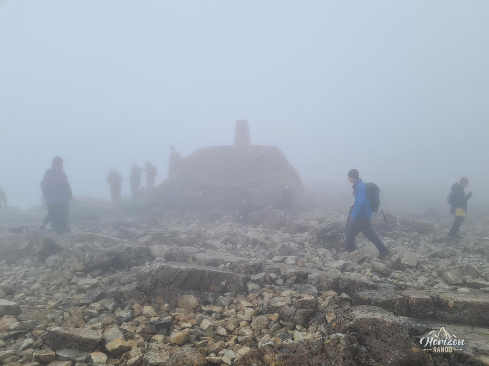
The summit, formed by the collapsed dome of an ancient volcano, contains the ruins of a weather observatory active until the early 20th century. Despite its popularity and well-maintained trail, this climb remains challenging and should not be taken lightly.
Map and elevation profile of the hike
Ben Nevis Hike
Difficulties of the hike
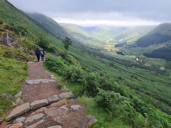
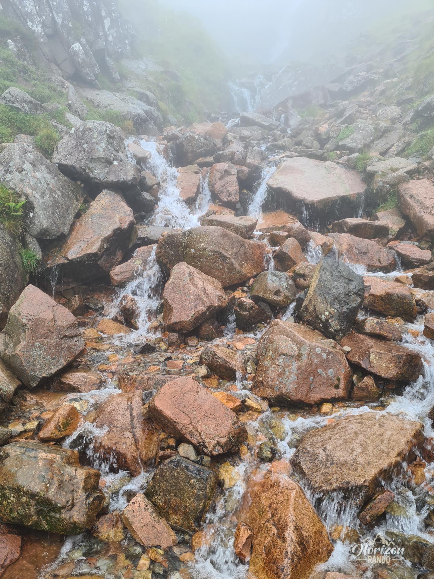
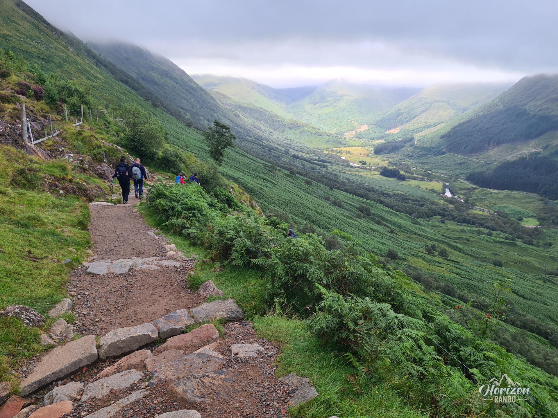
The route is not technically difficult, but it is physically challenging. It covers 15.9 kilometers round trip and involves more than 1,300 meters of elevation gain. The climb is almost continuous, with few flat sections for recovery. The well-marked trail is generally in good condition but becomes very rocky towards the end of the ascent.
The climate on Ben Nevis is renowned for being the harshest in the United Kingdom. Weather conditions can change quickly, so even if it's nice at the start, expect temperatures close to freezing, strong winds, and fog at the summit.
What you'll love
- The prestige of reaching the highest point in the United Kingdom: A powerful, symbolic experience for any mountain lover.
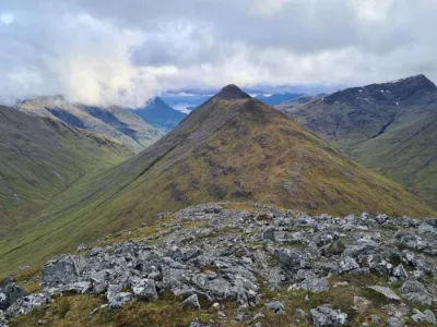
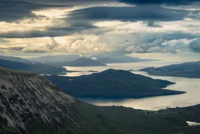
- A 360° panoramic view from the summit, taking in much of the Highlands and sometimes stretches as far as Northern Ireland and the Isle of Skye.
Practical information
Parking
There is a large car park at the Glen Nevis Visitor Center, which is the trailhead. Approximate price in 2025: £4 per car for the day.
Personal opinion
I don't particularly recommend this hike unless climbing the highest mountain in the United Kingdom is a goal in itself for you. You may also like it if you enjoy busy places, as the summit is often crowded. In reality, the view is nothing special; other peaks in the area offer much more spectacular views.
Photos
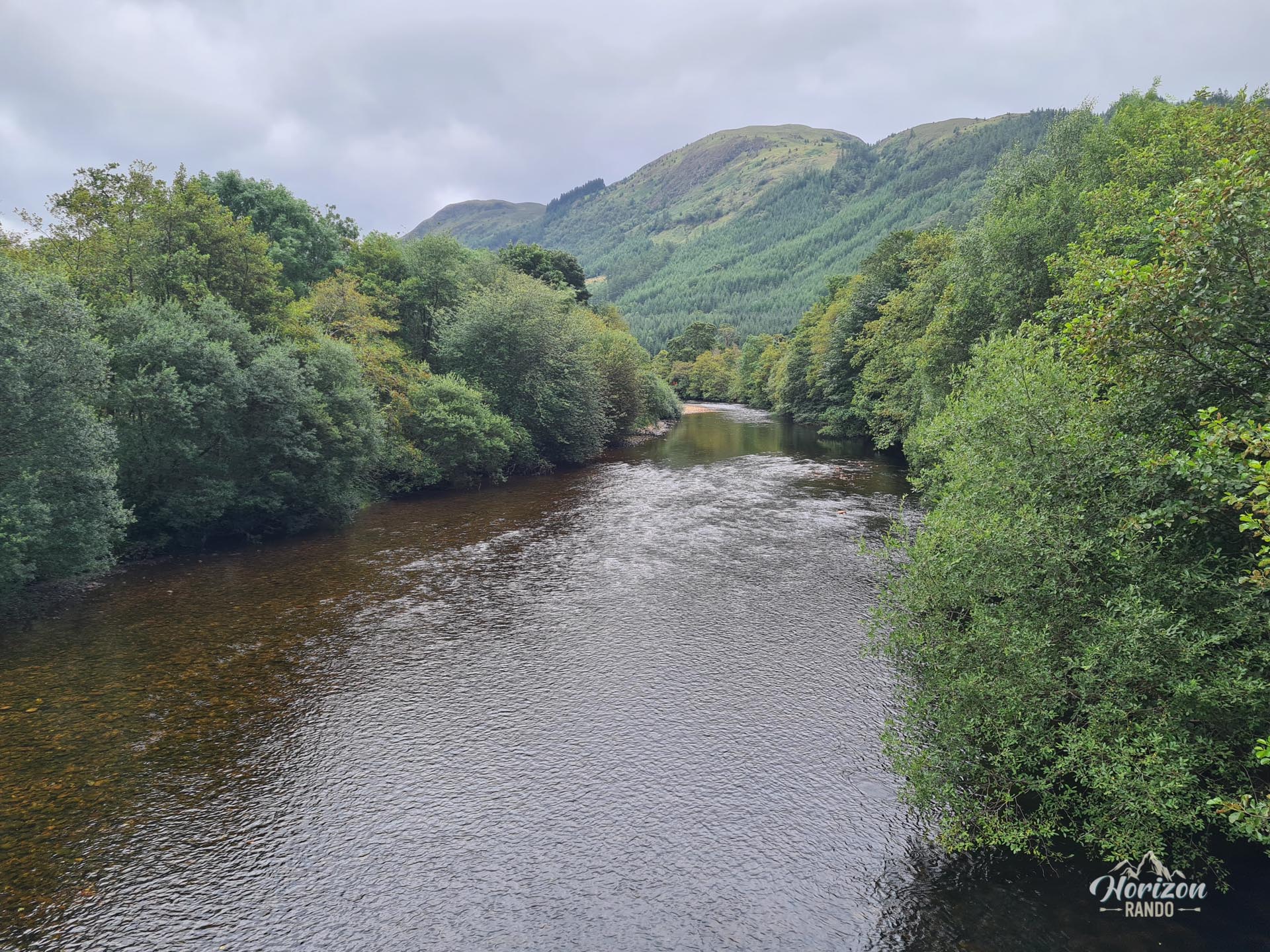
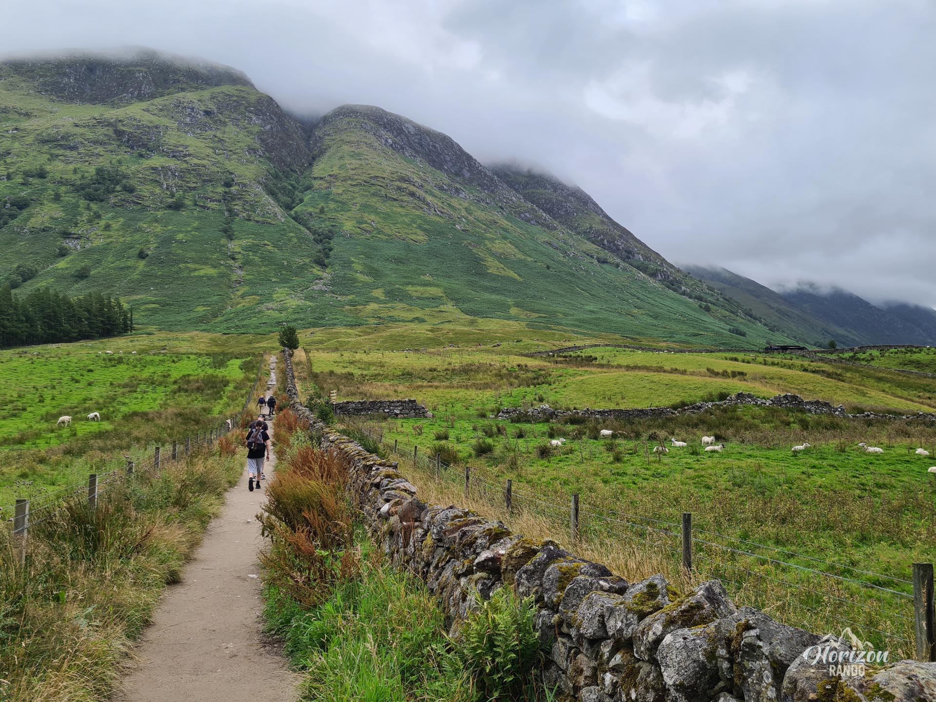
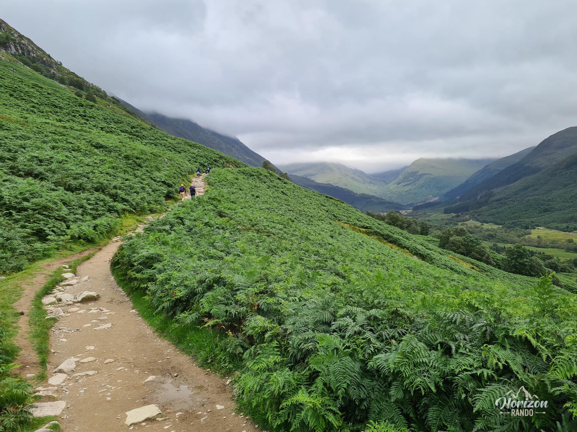
More hikes to do in Scotland
Nearby hikes











Printed from www.horizonrando.fr/en/scotland/ben-nevis/