





River Coupall Hike
Key facts about the hike
- Difficulty
- Very easy Hikes are rated from very easy to very hard: my difficulty scale
- Duration
- 1h Estimated time, short breaks included (photos, water, snacks), picnic not included: how it is calculated
- Distance
- 0.9km
- out and back
- Elevation gain
- 20m
- Type of route
- Out and back
- Maximum altitude
- 235 m
- Vertiginous Five levels, depending on how exposed the route is: the levels in detail
- No
- Marked
- No
- Popularity
- Moderate
- Region
- Glencoe
- Start point
- 56.64774, -4.86595
- Activity
- Hiking
Hike overview
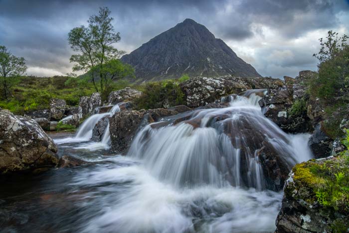
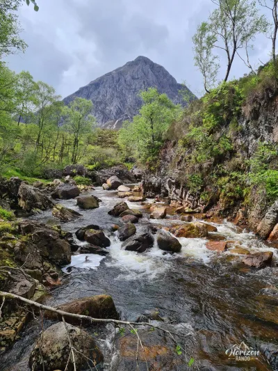
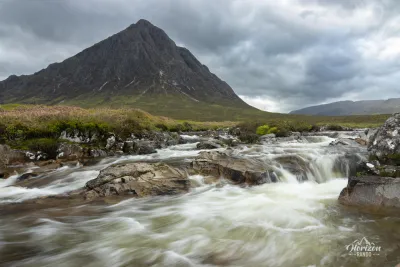
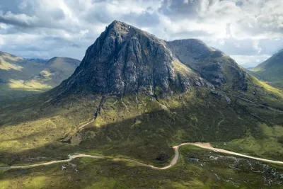
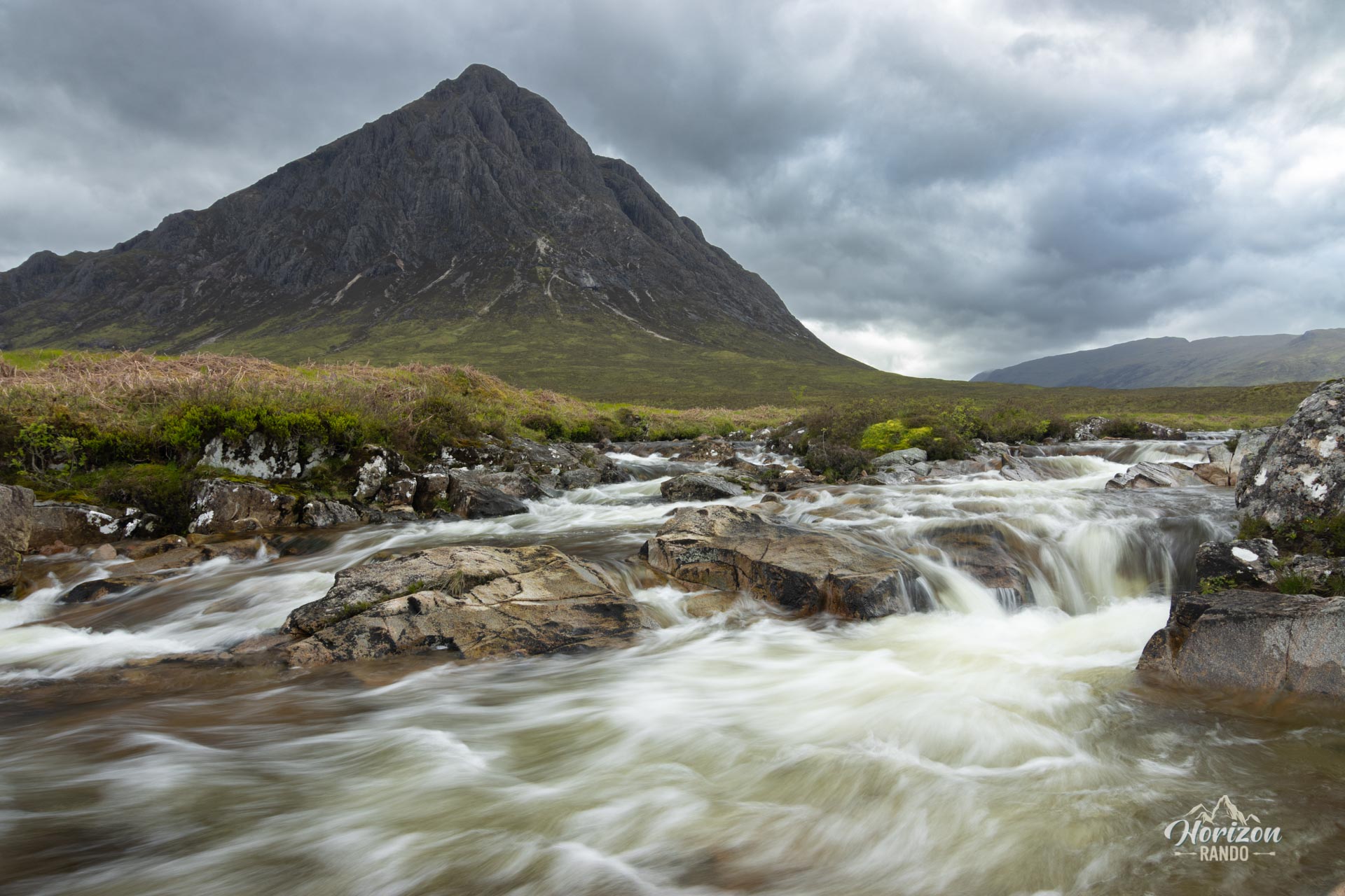
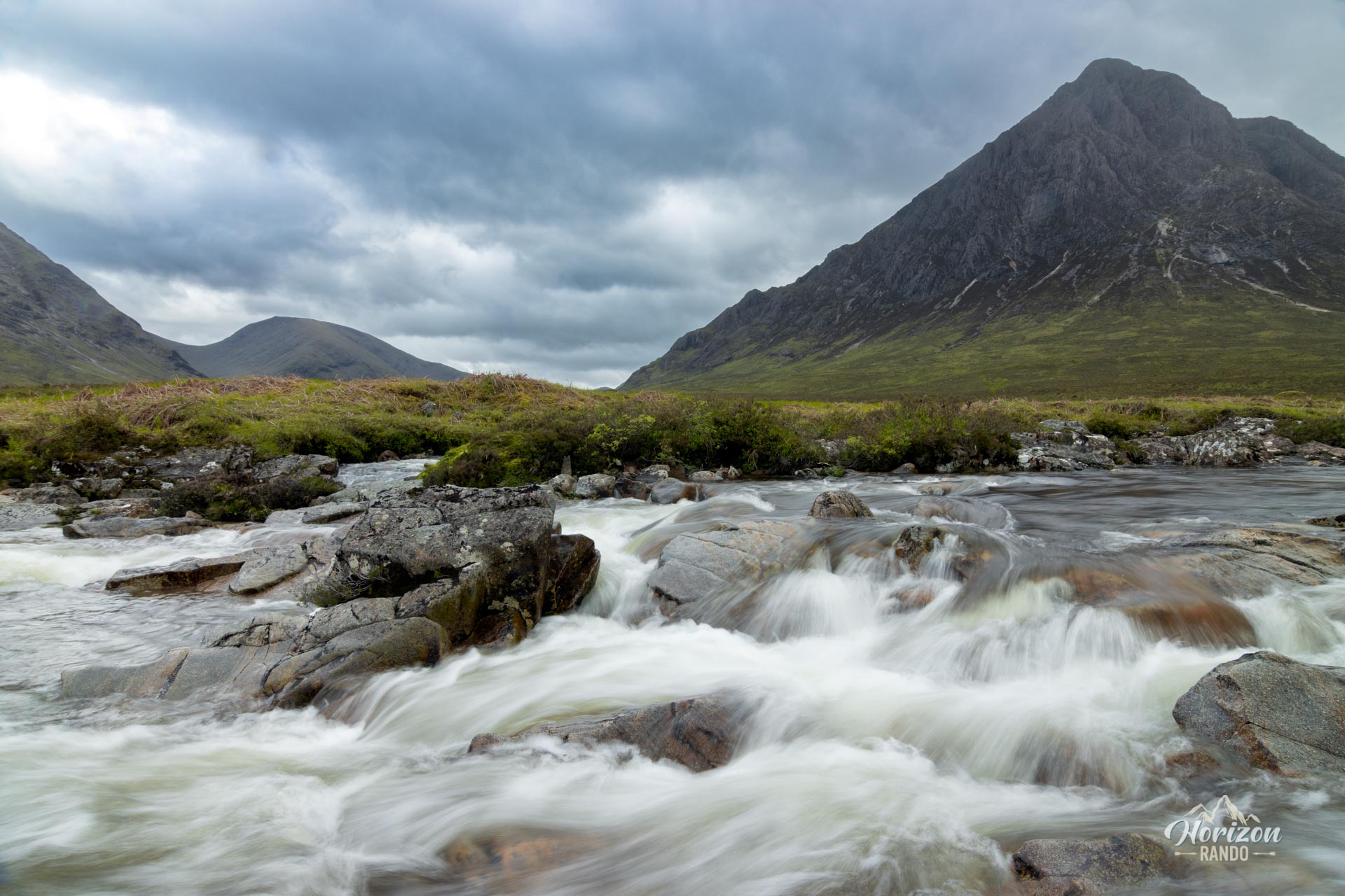
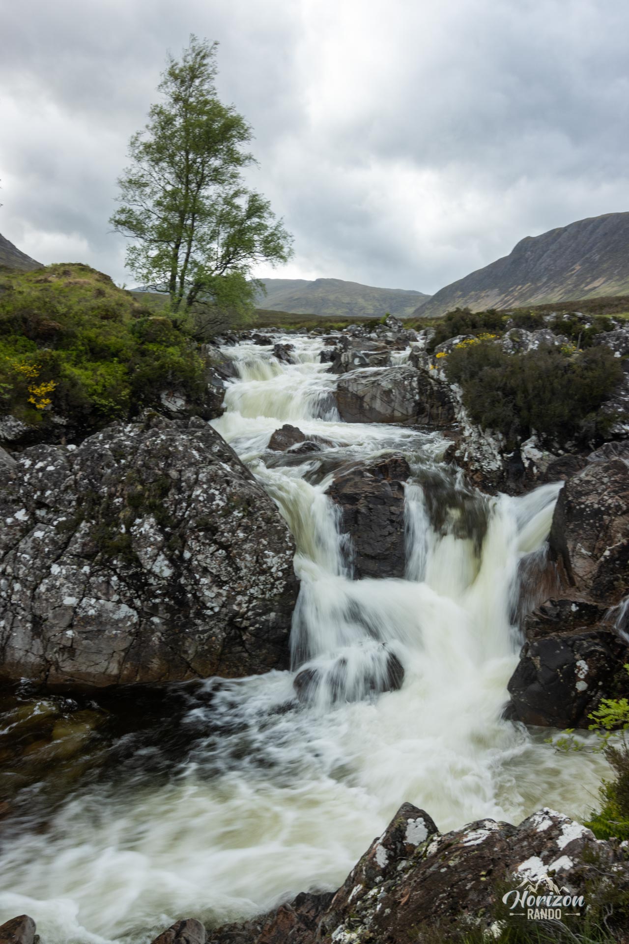
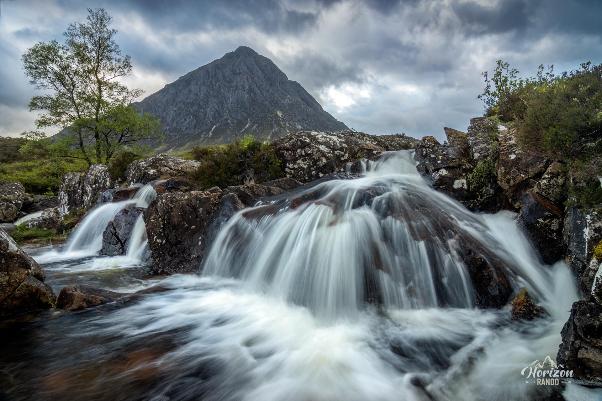
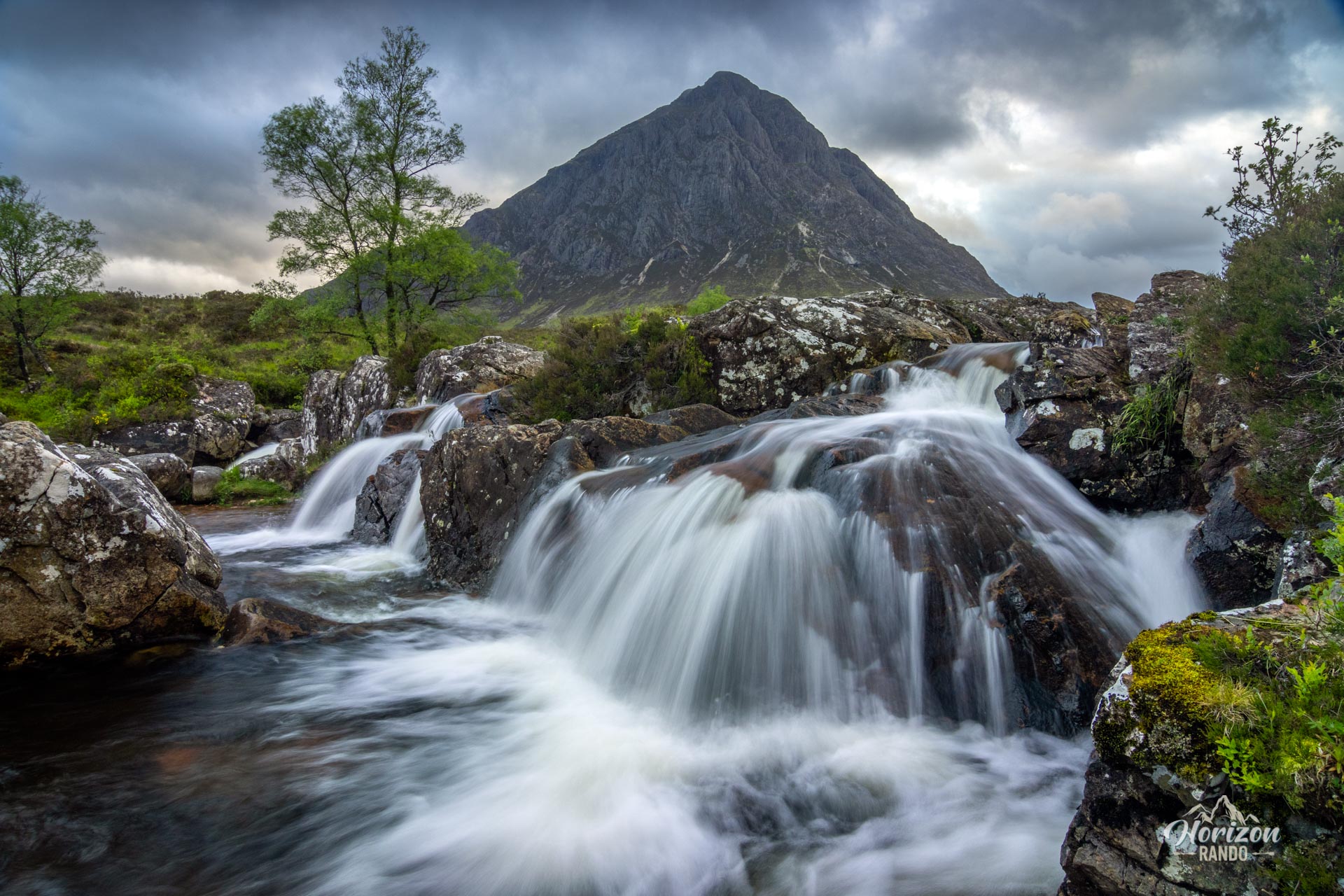
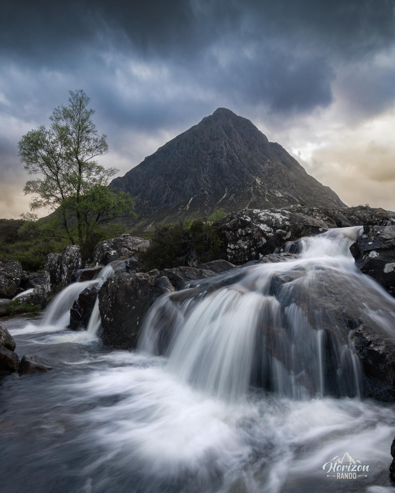
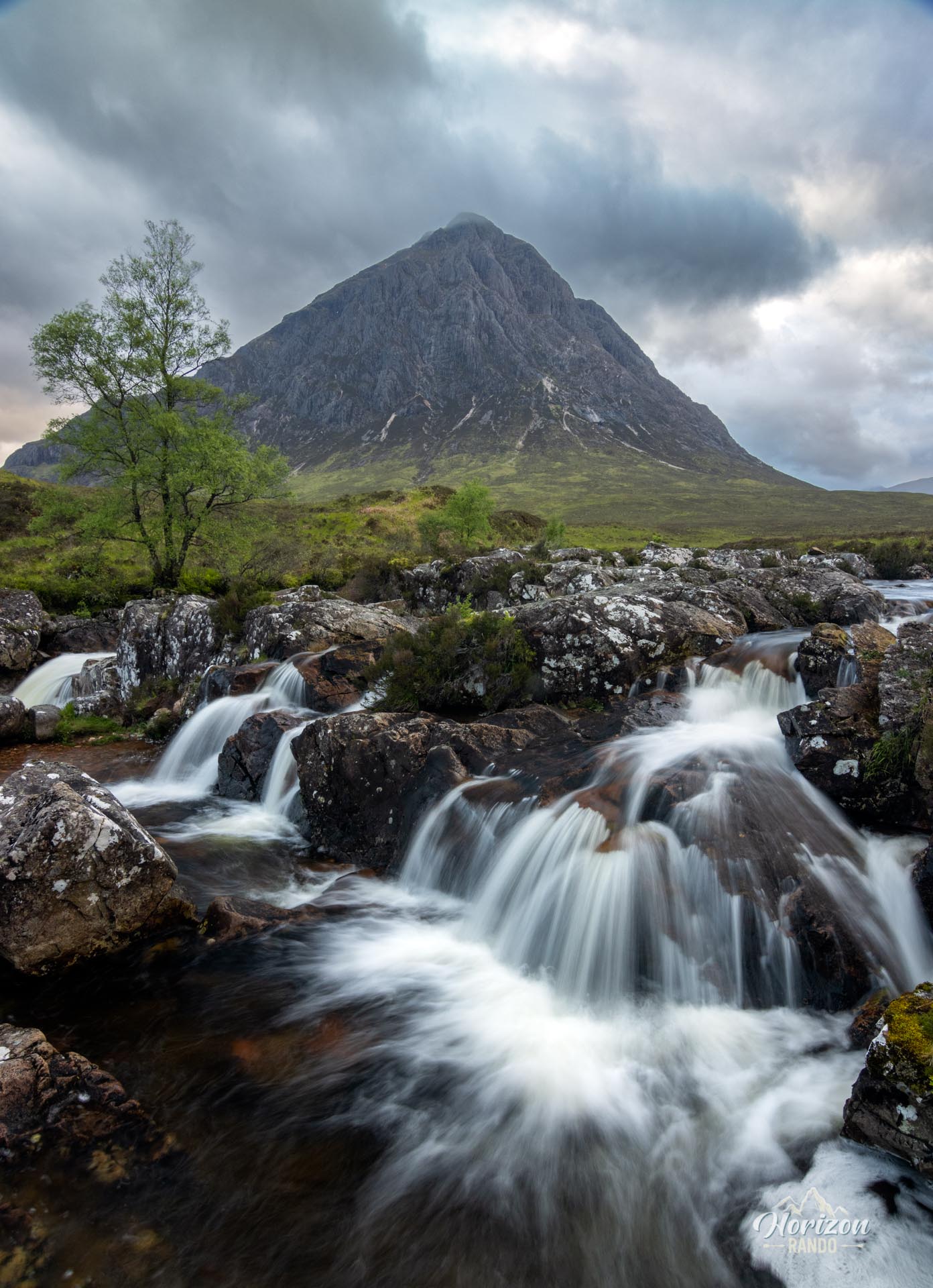
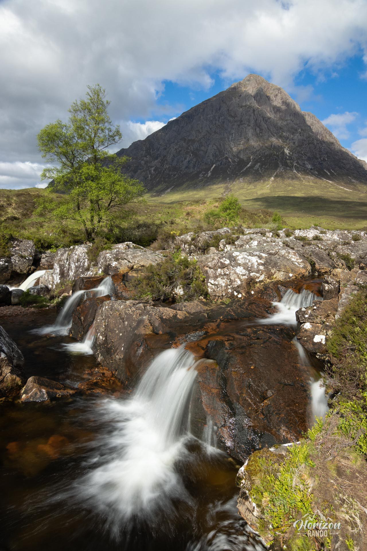
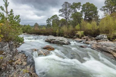
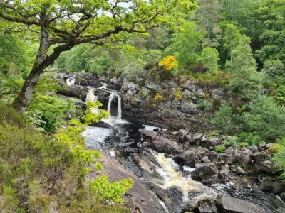
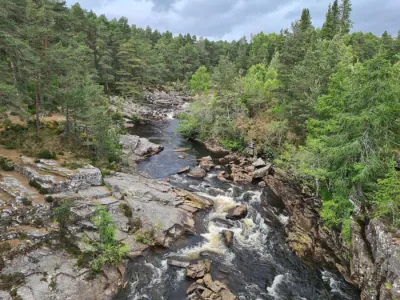
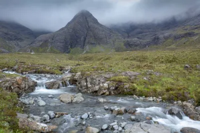
The walk along the River Coupall offers spectacular views of Buachaille Etive Mòr, one of the most photographed mountains in Scotland. This short walk follows the river and reveals magnificent views with waterfalls in the foreground.
The main viewpoint, which is particularly popular with photographers, is just 100 meters from the bridge and is one of the most iconic spots in the Highlands.
Map and elevation profile of the hike
River Coupall Hike
Difficulties of the hike
The route is not difficult and is more like a contemplative stroll. However, be careful; the ground is very marshy and muddy, especially after it rains. Waterproof hiking boots are strongly recommended.
What you'll love
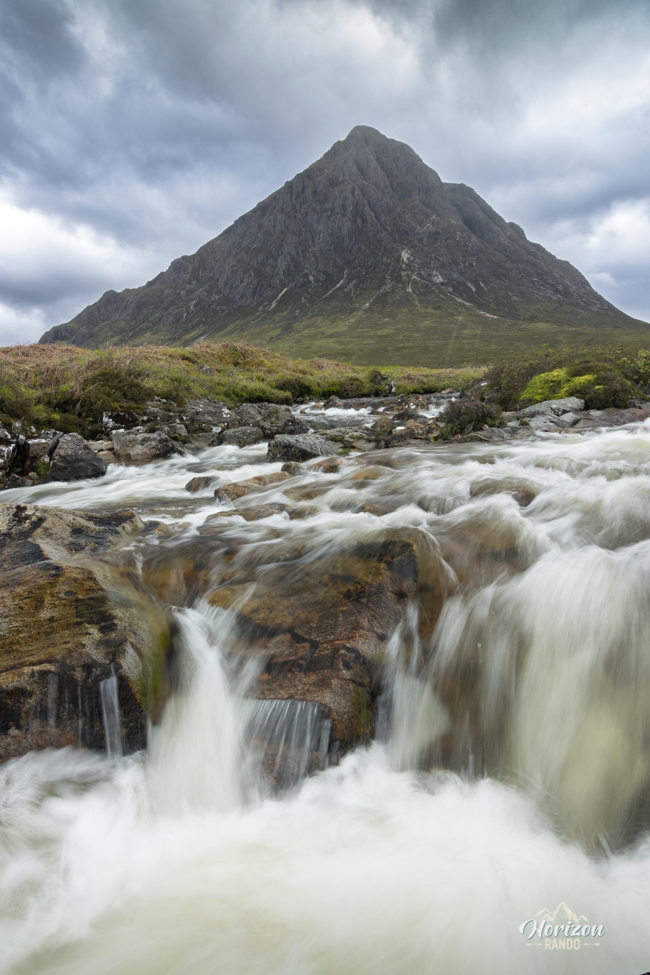
- The iconic view of Buachaille Etive Mòr: the River Coupall waterfall with the pyramid-shaped peak in the background is one of the most photographed panoramas in Scotland.
- The numerous waterfalls along the river offer excellent photo opportunities.
Practical information
A walk primarily for photography
This outing is primarily for photography enthusiasts looking for one of Scotland's most iconic views, accessible in just a few minutes. For hikers, it is more of an addition to other Glencoe routes or the beginning of a longer exploration of the Lairig Gartain valley.
Photos
See all 10 photos →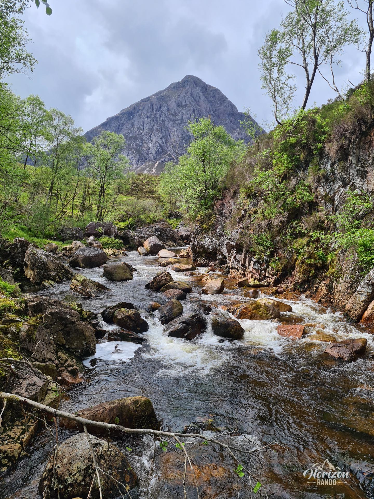
More hikes to do in Scotland
Nearby hikes










Printed from www.horizonrando.fr/en/scotland/river-coupall/