





Craigendarroch Hike
Key facts about the hike
- Difficulty
- Very easy Hikes are rated from very easy to very hard: my difficulty scale
- Duration
- 1h30 Estimated time, short breaks included (photos, water, snacks), picnic not included: how it is calculated
- Distance
- 3.2km
- Elevation gain
- 230m
- Type of route
- Loop
- Maximum altitude
- 402 m
- Vertiginous Five levels, depending on how exposed the route is: the levels in detail
- No
- Marked
- Yes
- Popularity
- Low
- Region
- Cairngorms
- Start point
- 57.05023, -3.04221
- Activity
- Hiking
Hike overview
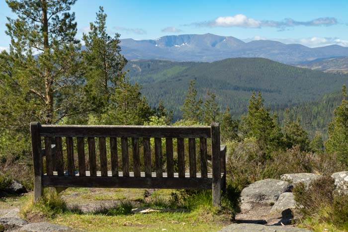
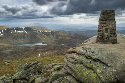
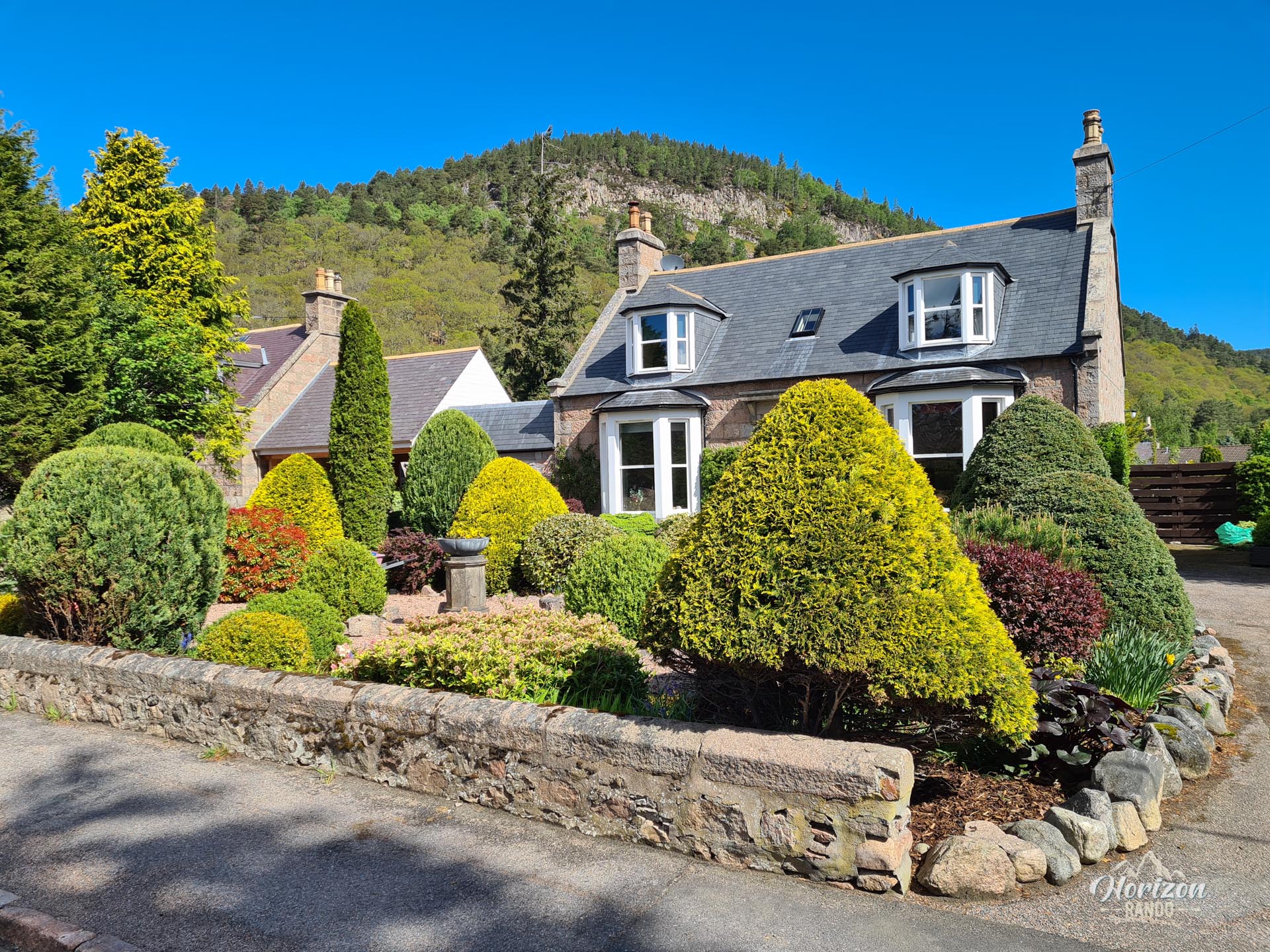
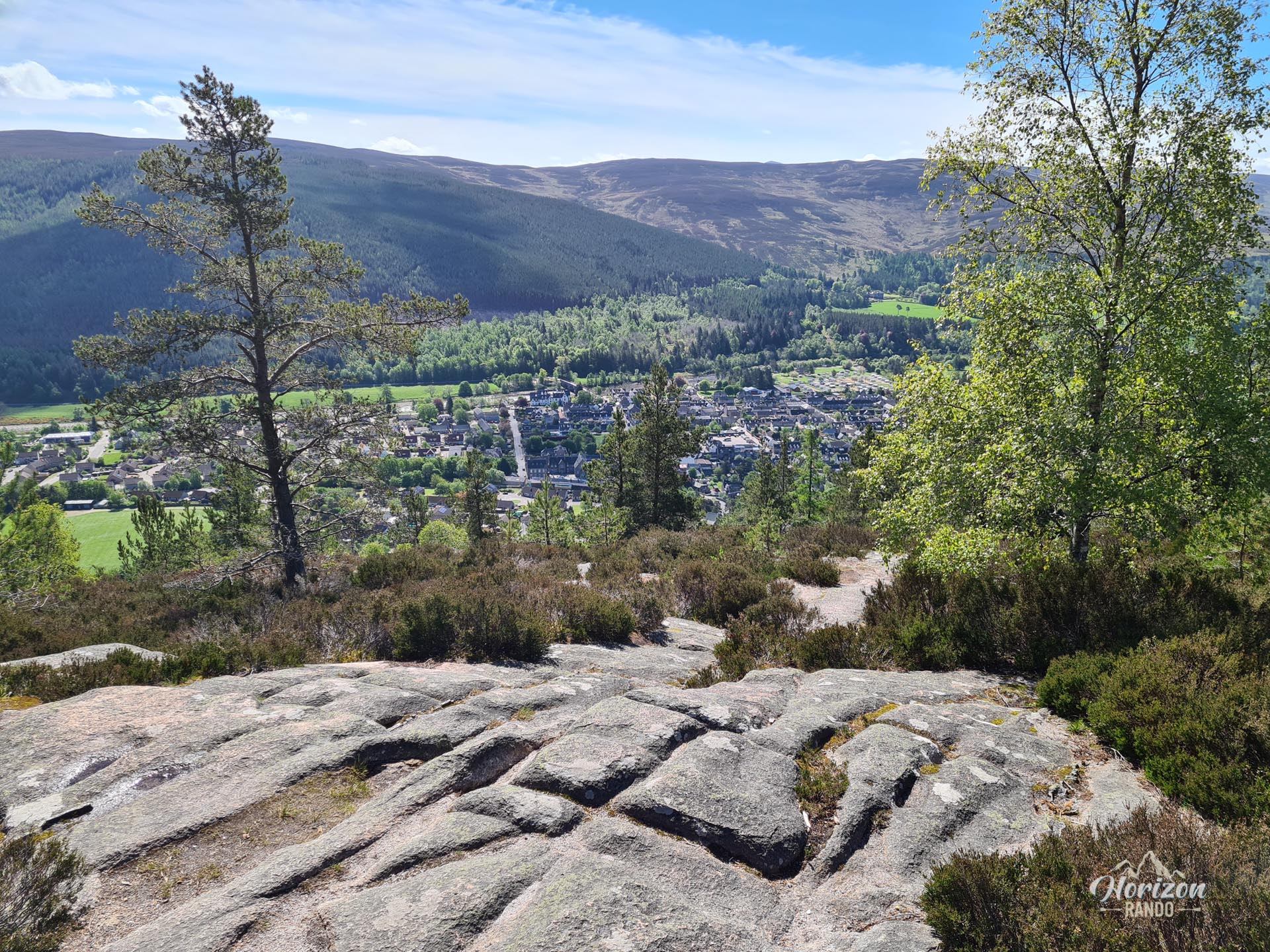
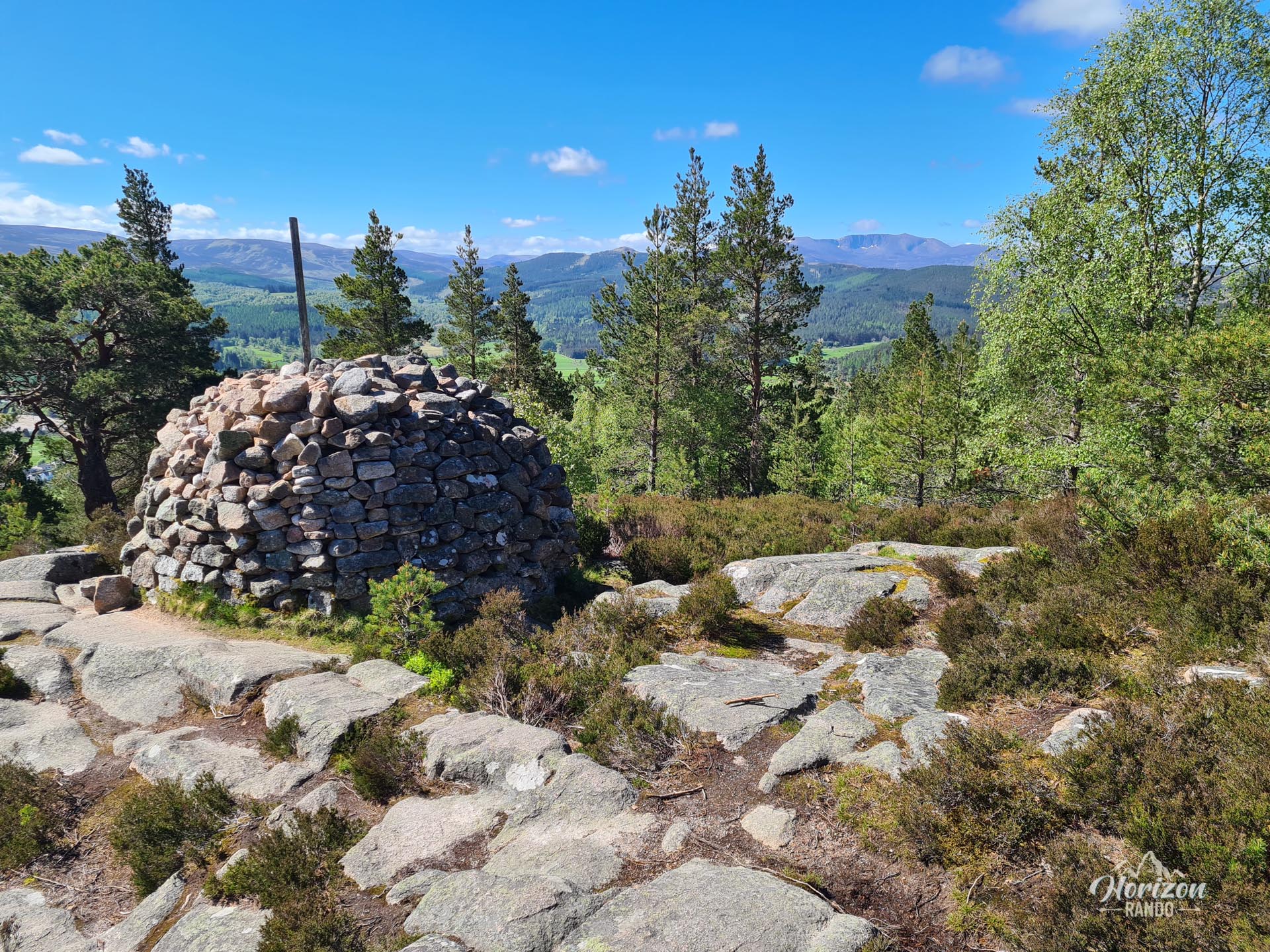
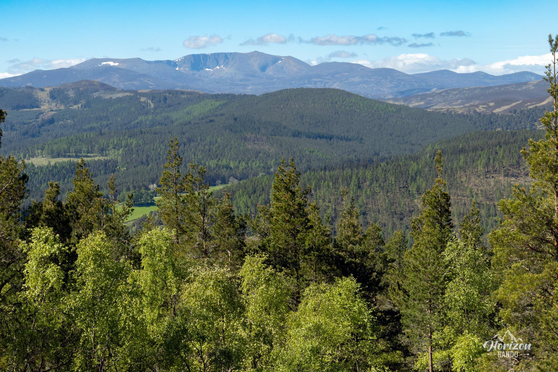
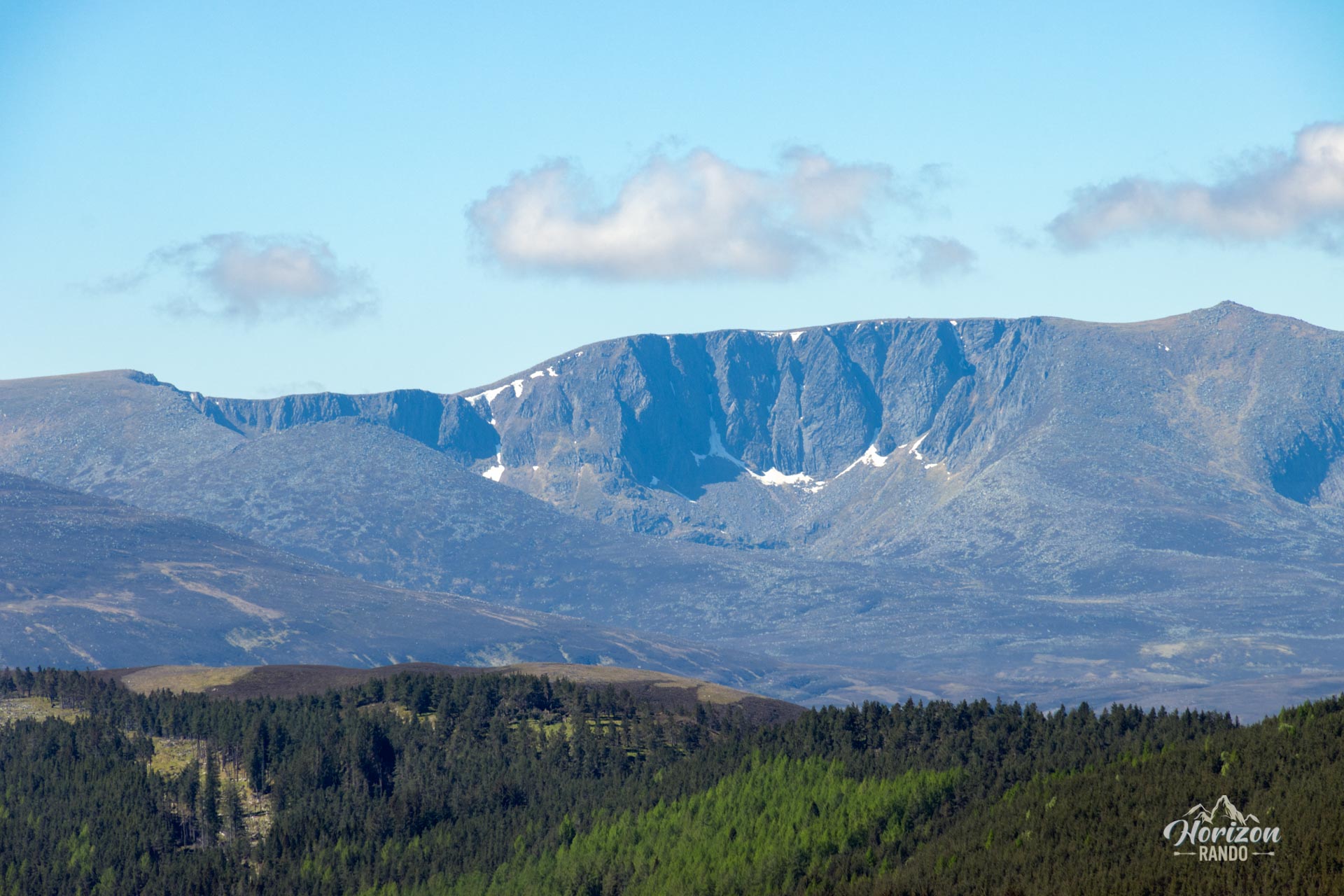
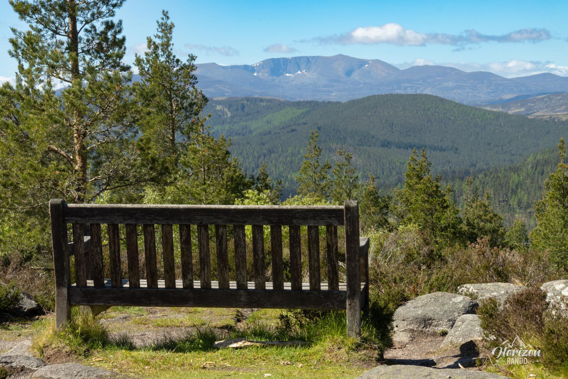
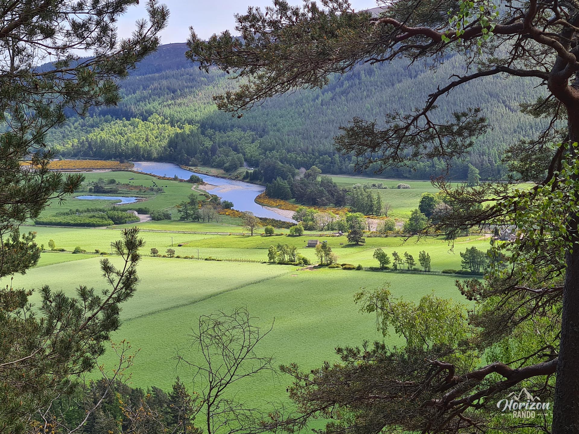
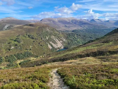
The Craigendarroch hike takes you to the summit of an iconic hill that overlooks the charming village of Ballater in the heart of Cairngorms National Park. Despite its modest elevation of 402 meters, the hike reveals stunning views of the Dee Valley and the surrounding mountains, including the majestic Lochnagar. The trail winds through a magnificent forest of ancient oak trees classified as a National Nature Reserve before reaching the summit.
Map and elevation profile of the hike
Craigendarroch Hike
Difficulties of the hike
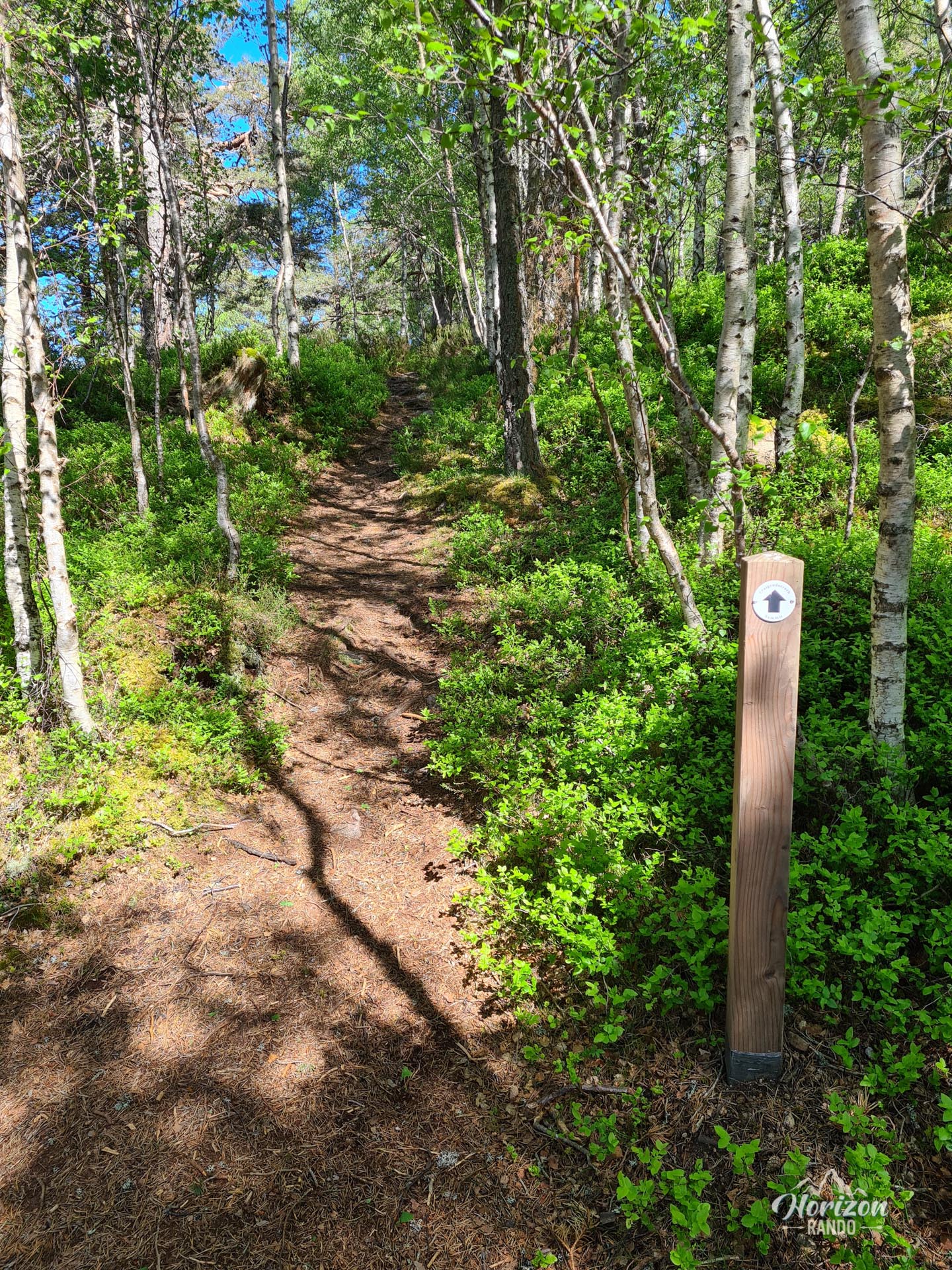
The trail to the summit of Craigendarroch is well-maintained and clearly marked, ensuring an enjoyable hike accessible to all.
What you'll love
- The remarkable panorama from the summit: A bird's-eye view of Ballater's checkerboard streets, the Dee Valley, and the iconic peaks of the Cairngorms.
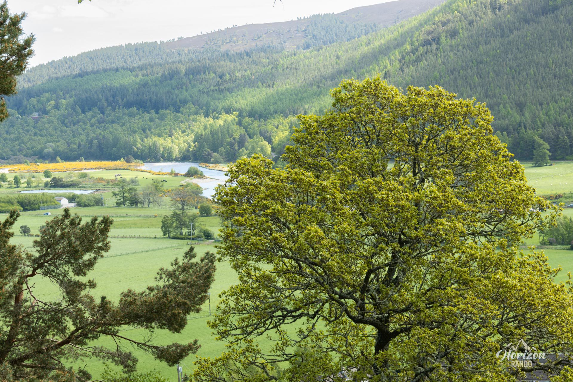
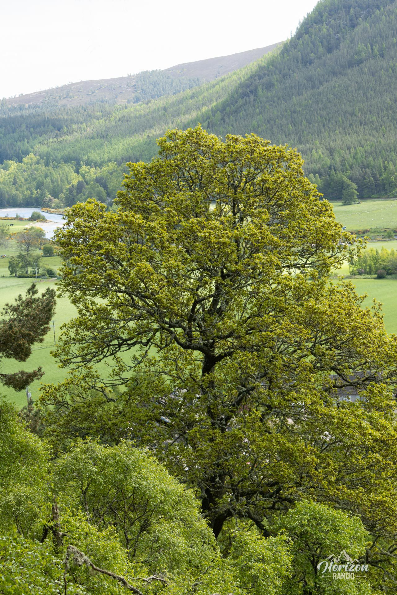
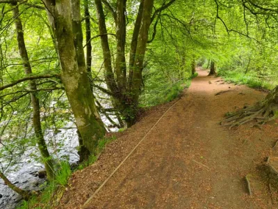
- Walking through a superb forest of hundred-year-old oak trees, particularly beautiful in autumn when the oaks, pines, and birches are dressed in their finest colors.
Photos
See all 12 photos →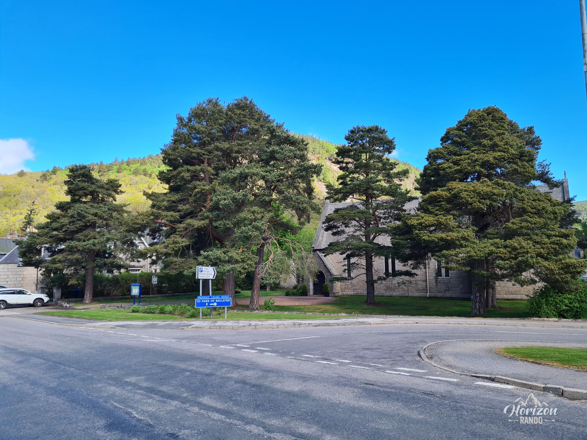
More hikes to do in Scotland
Nearby hikes









Printed from www.horizonrando.fr/en/scotland/craigendarroch/