





Lochnagar Hike
Key facts about the hike
- Difficulty
- Hard Hikes are rated from very easy to very hard: my difficulty scale
- Duration
- 7h30 Estimated time, short breaks included (photos, water, snacks), picnic not included: how it is calculated
- Distance
- 19.8km
- Elevation gain
- 980m
- Type of route
- Loop
- Maximum altitude
- 1,155 m
- Vertiginous Five levels, depending on how exposed the route is: the levels in detail
- Slightly
- Marked
- No
- Popularity
- Moderate
- Region
- Cairngorms
- Start point
- 56.95247, -3.13634
- Activity
- Hiking
Hike overview
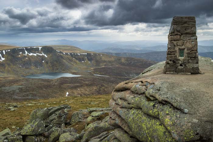
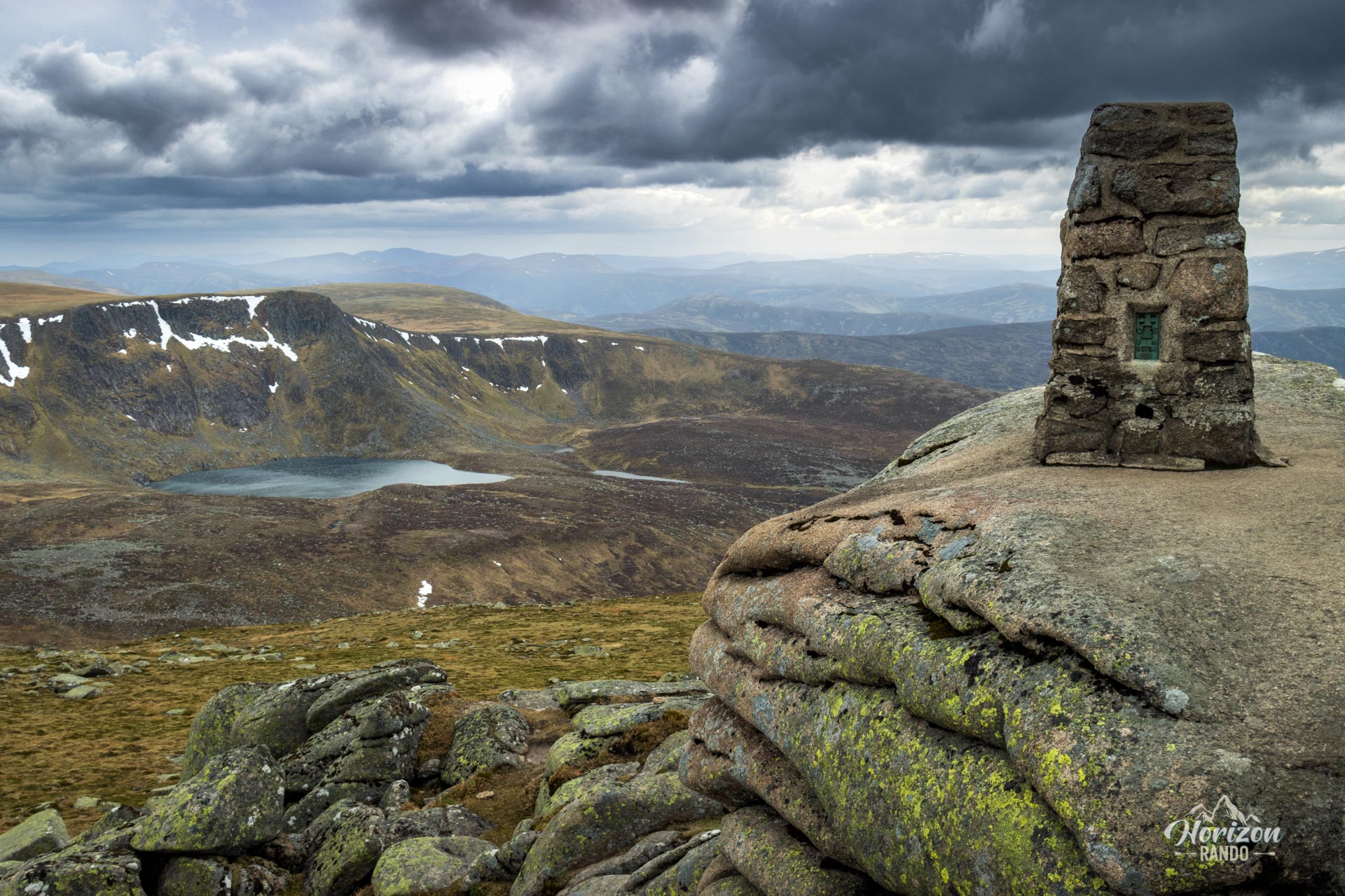
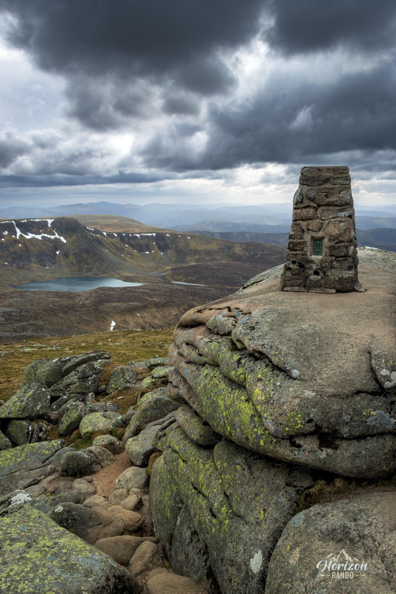
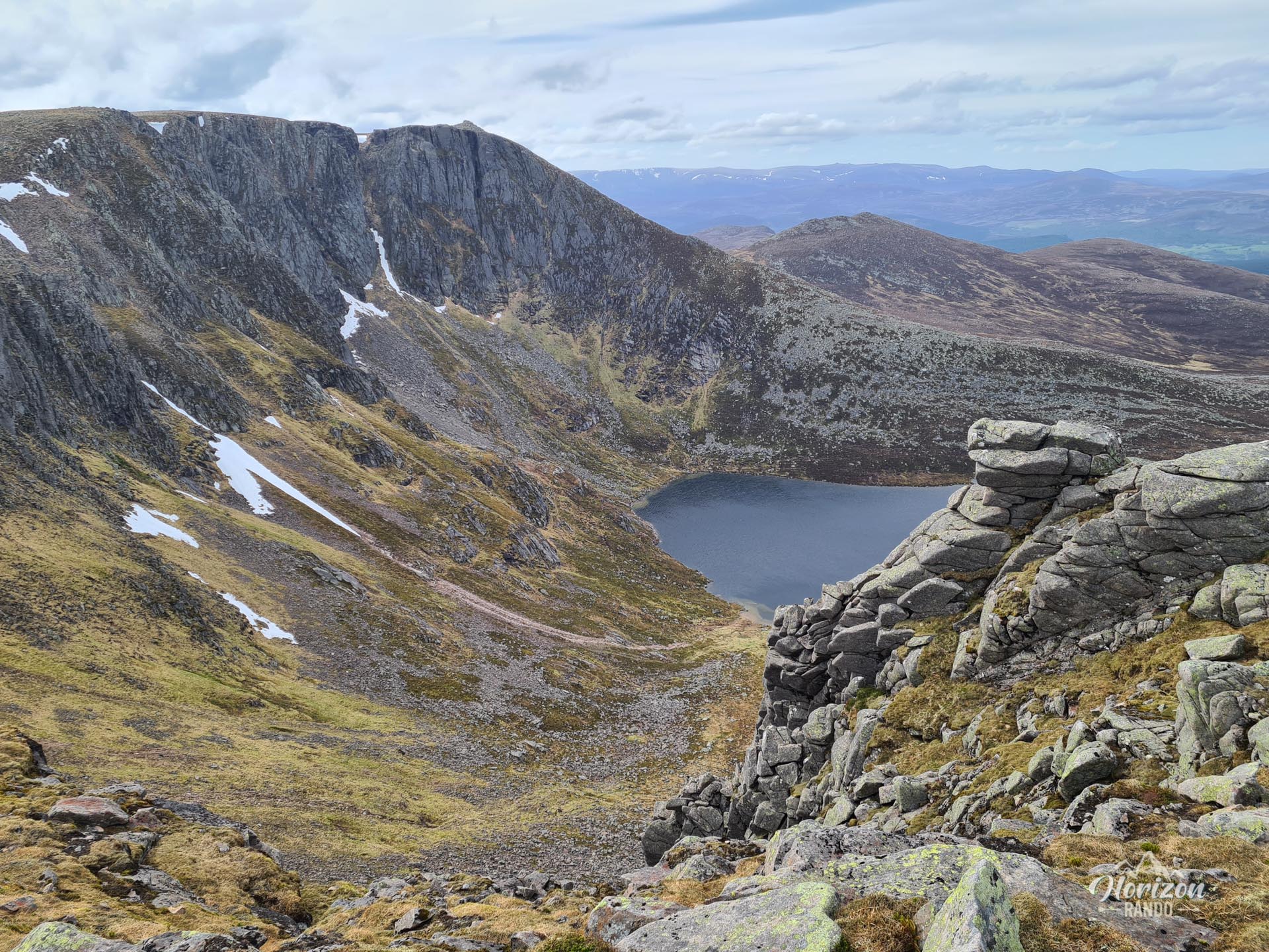
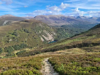
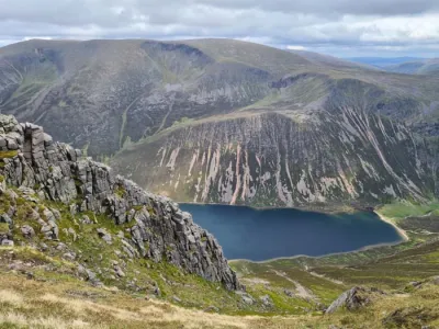
The Lochnagar hike leads to the iconic summit of Cac Carn Beag (1,155 m), the highest point in the Grampian Mountains and one of the most beautiful peaks in Cairngorms National Park. The circuit reveals the spectacular northern cirque of Lochnagar, an impressive curve of cliffs that shelter the small, dark Lochan na Gaire lake, after which the mountain is named. This challenging route provides stunning vistas of Deeside and the Cairngorms, consequently attracting numerous hikers during peak season.
Map and elevation profile of the hike
Lochnagar Hike
Difficulties of the hike
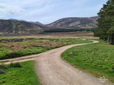
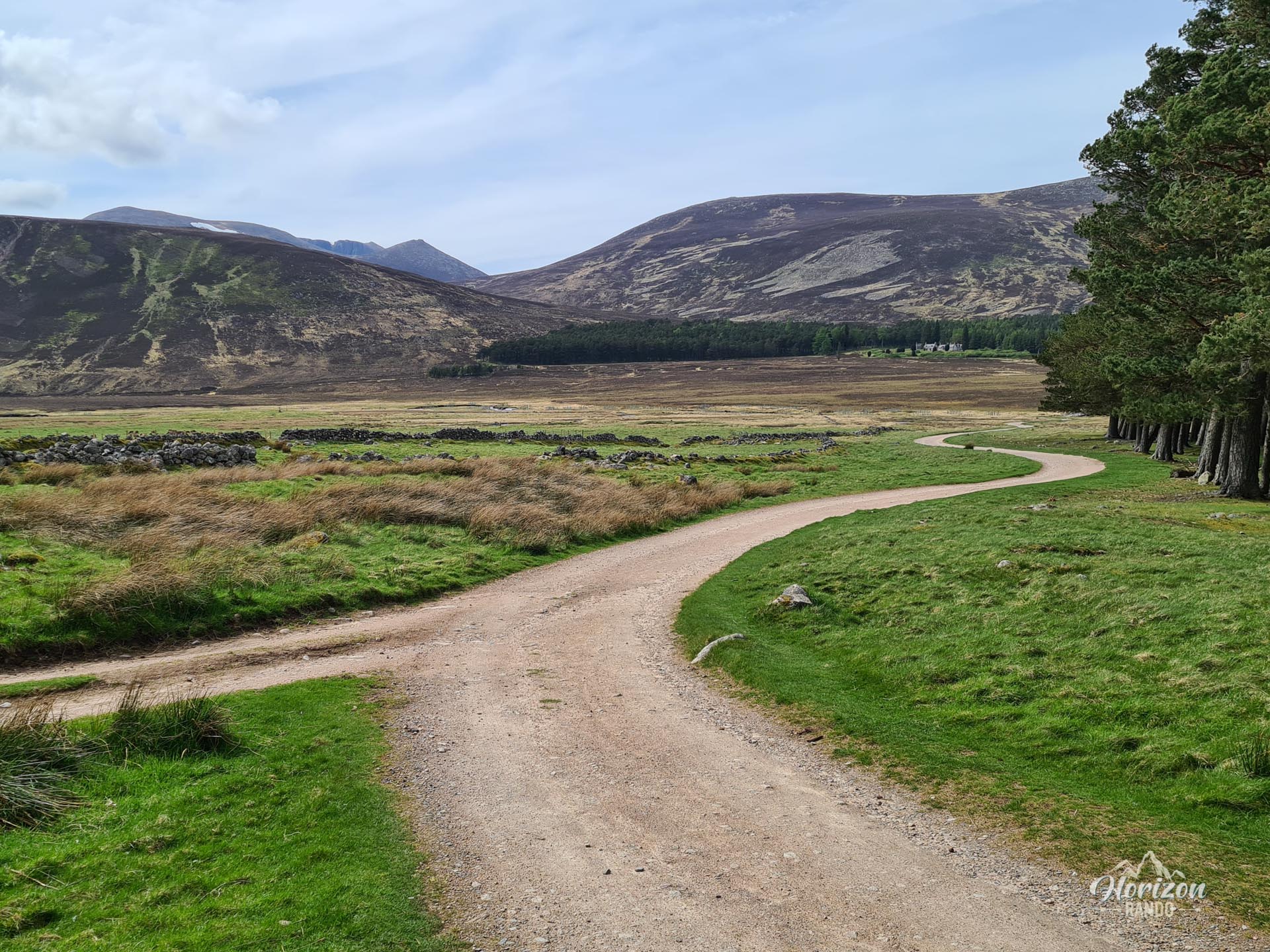
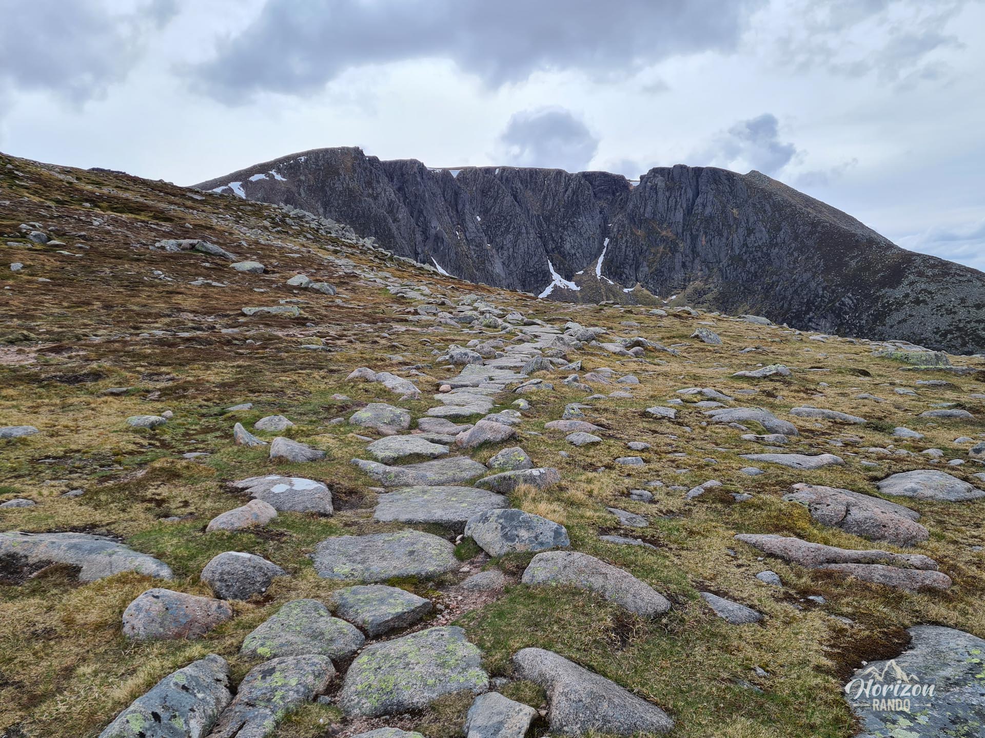
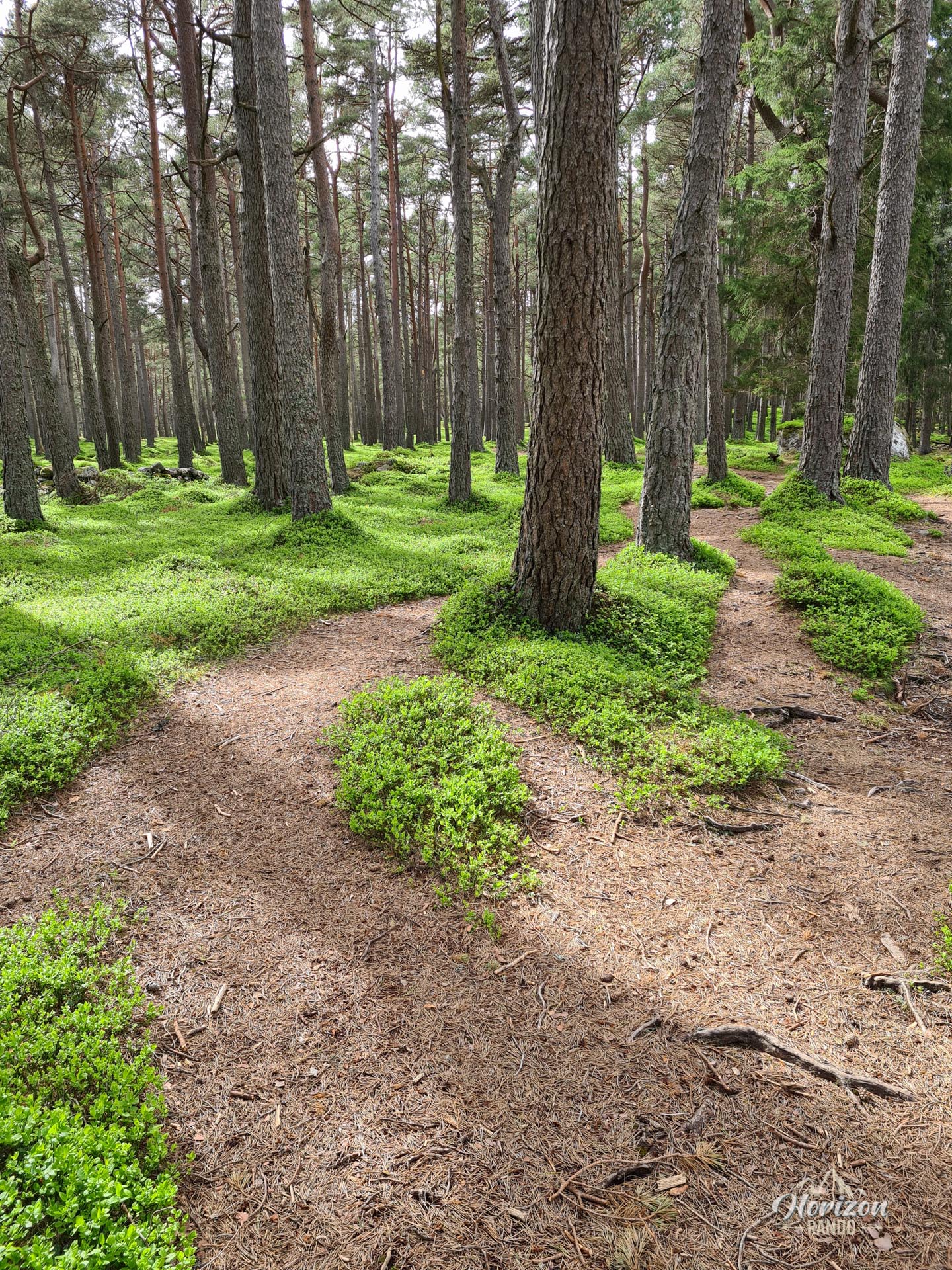
Lochnagar is a long and demanding hike that requires good physical condition. The nearly 20-kilometer circuit involves a significant 980-meter elevation gain and takes place on varied terrain, including forest tracks at the beginning, well-maintained mountain trails, and more rugged terrain in the summit area.
While the route is physically demanding, there are no major technical difficulties. The trail is not marked, but it is generally clearly visible and easy to follow. However, you should always carry a GPS device or map because the Scottish weather is notoriously changeable, and visibility can become zero in a matter of minutes.
What you'll love
- The exceptional panorama from the summit: Unobstructed 360° views of the Cairngorms.
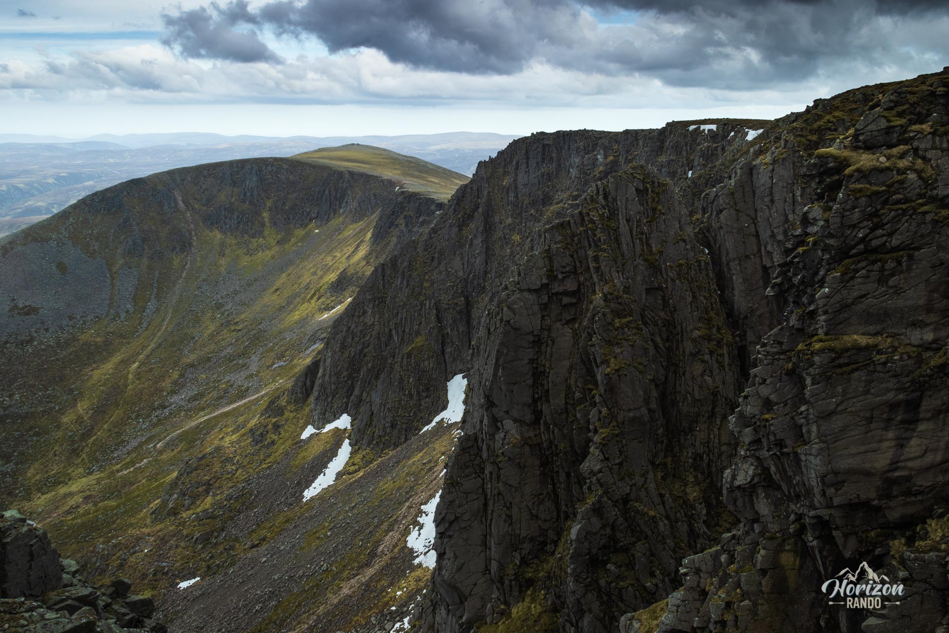
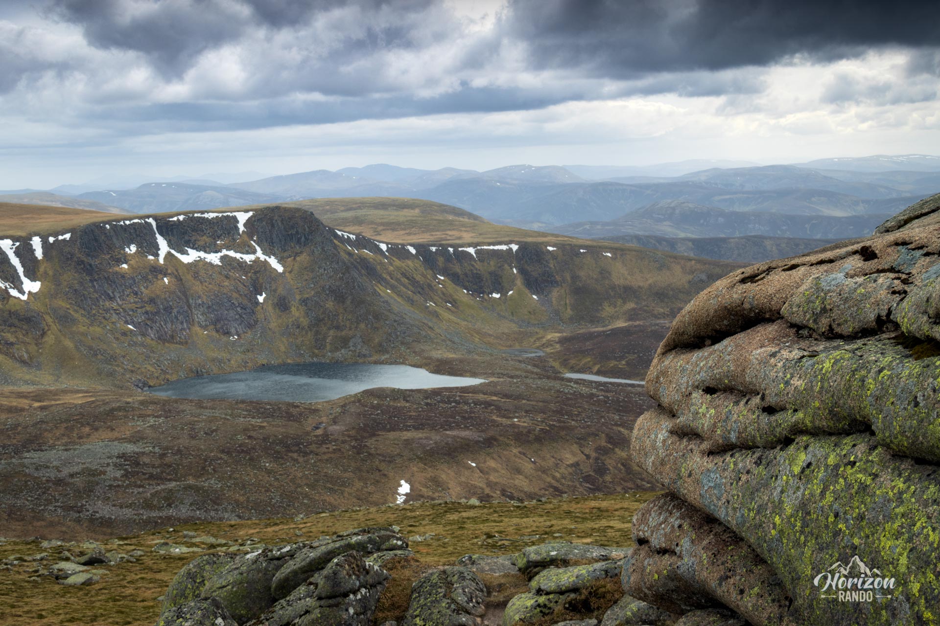
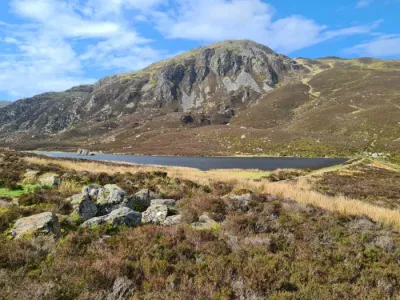
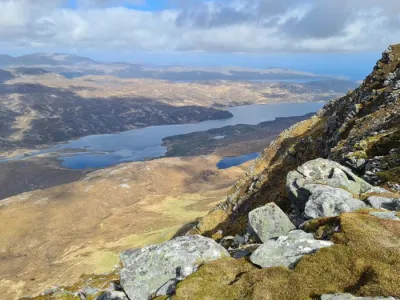
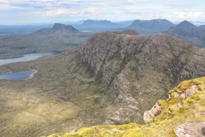
- The northern cirque of Lochnagar, considered one of the most beautiful in Scotland, with a half-moon of spectacular cliffs overlooking Lochan na Gaire.
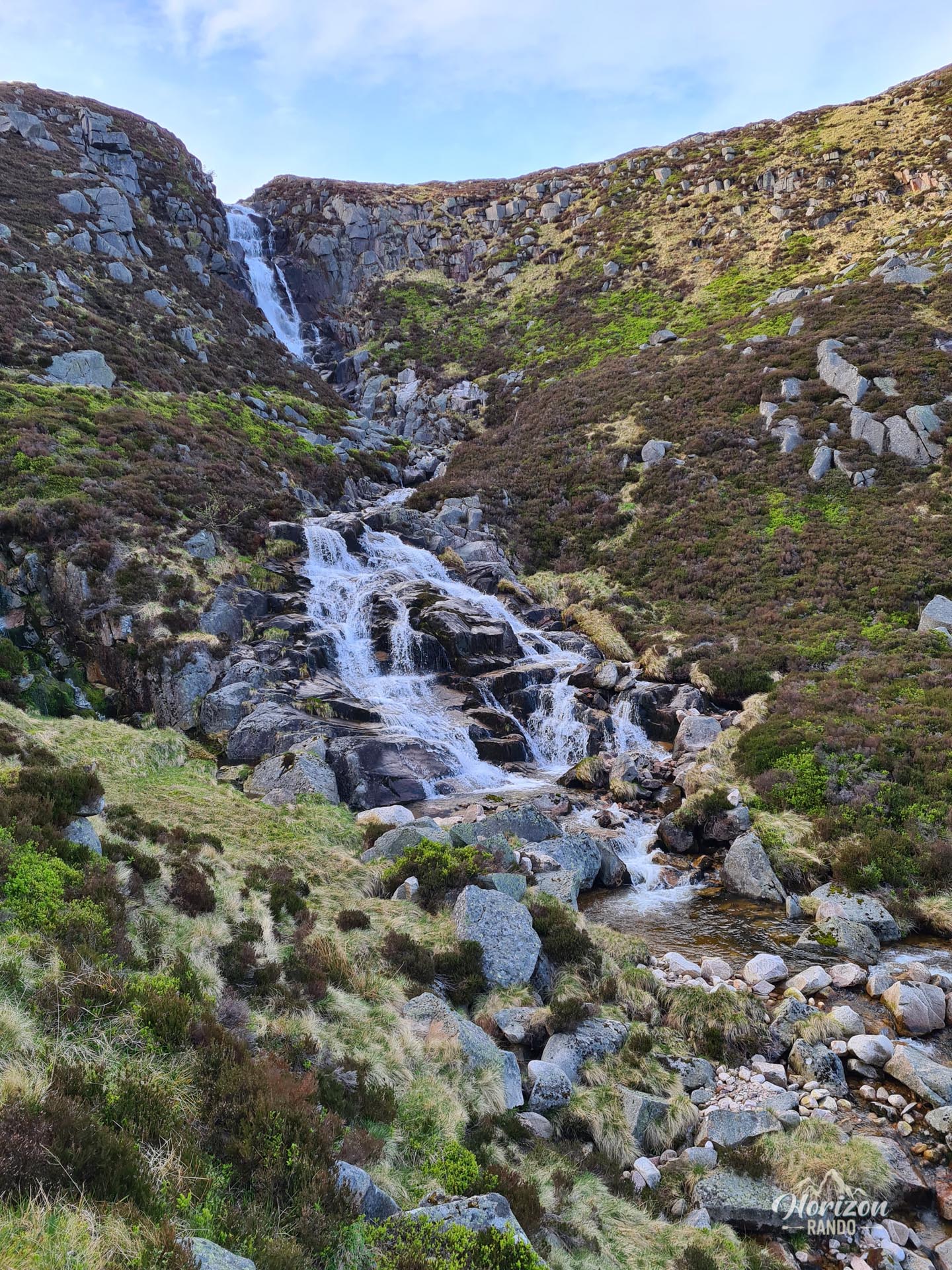
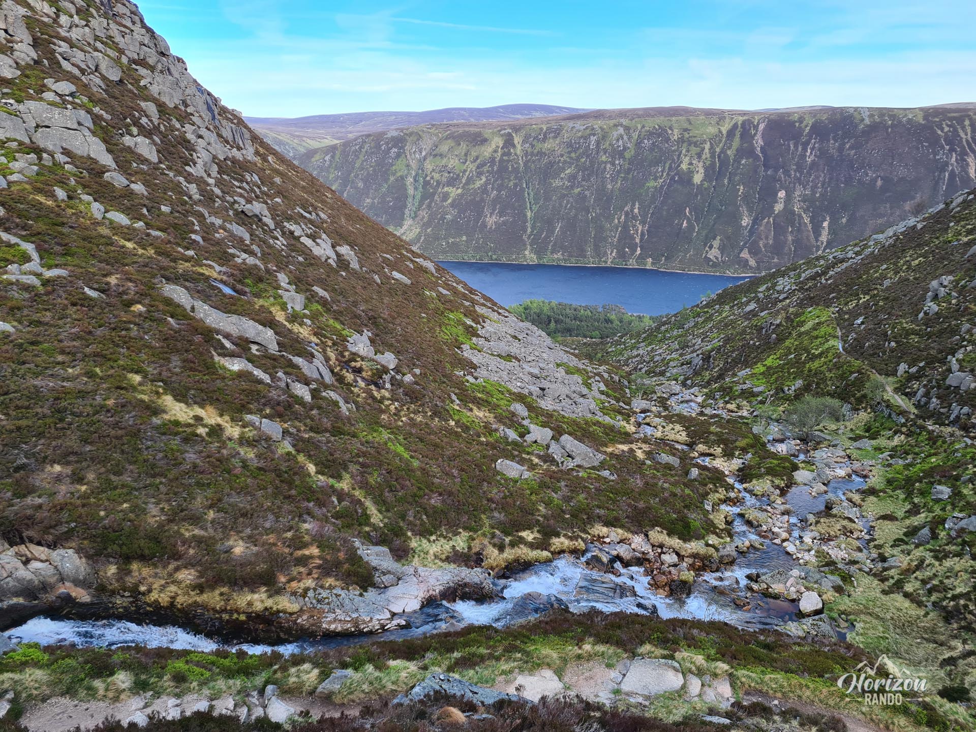
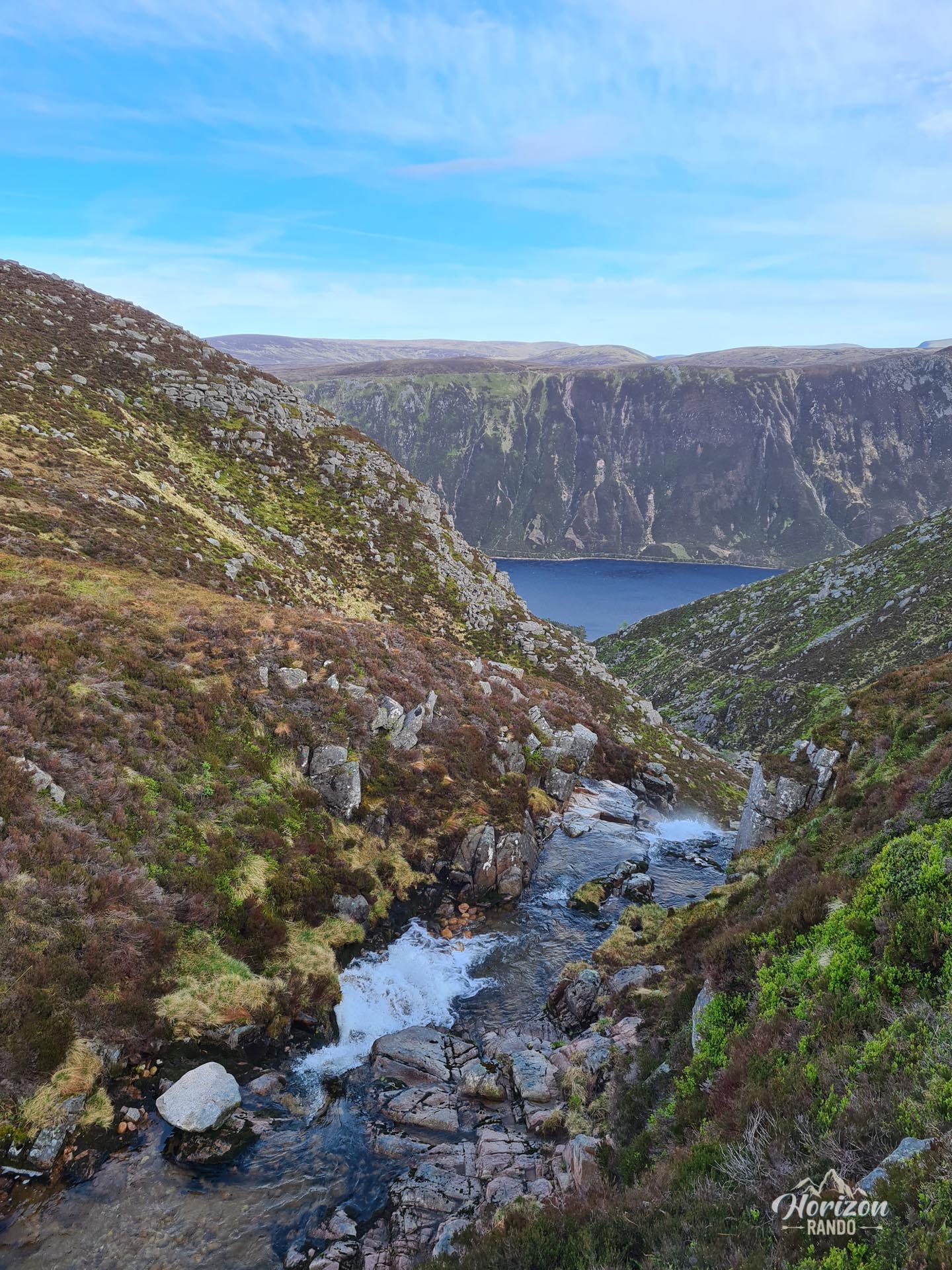
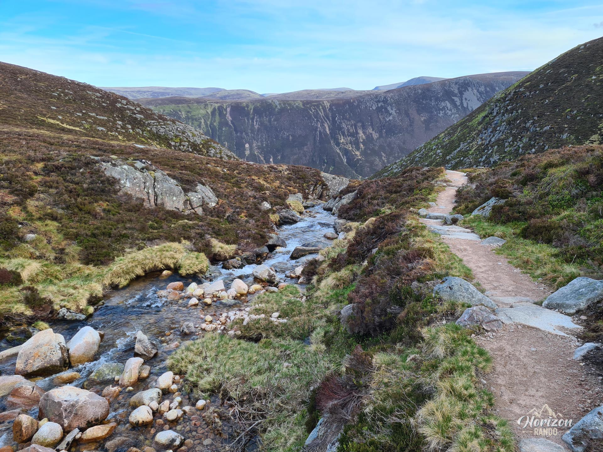
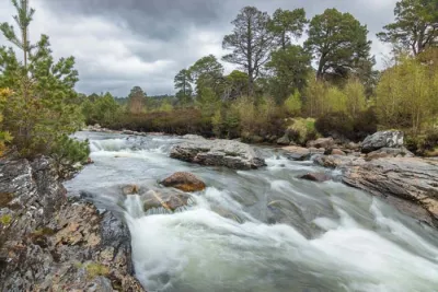
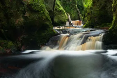
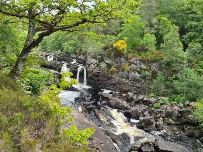
- The Glas Allt waterfalls: During the ascent, you will pass numerous small waterfalls before reaching the impressive Glas Allt waterfalls, which are approximately 50 m high.
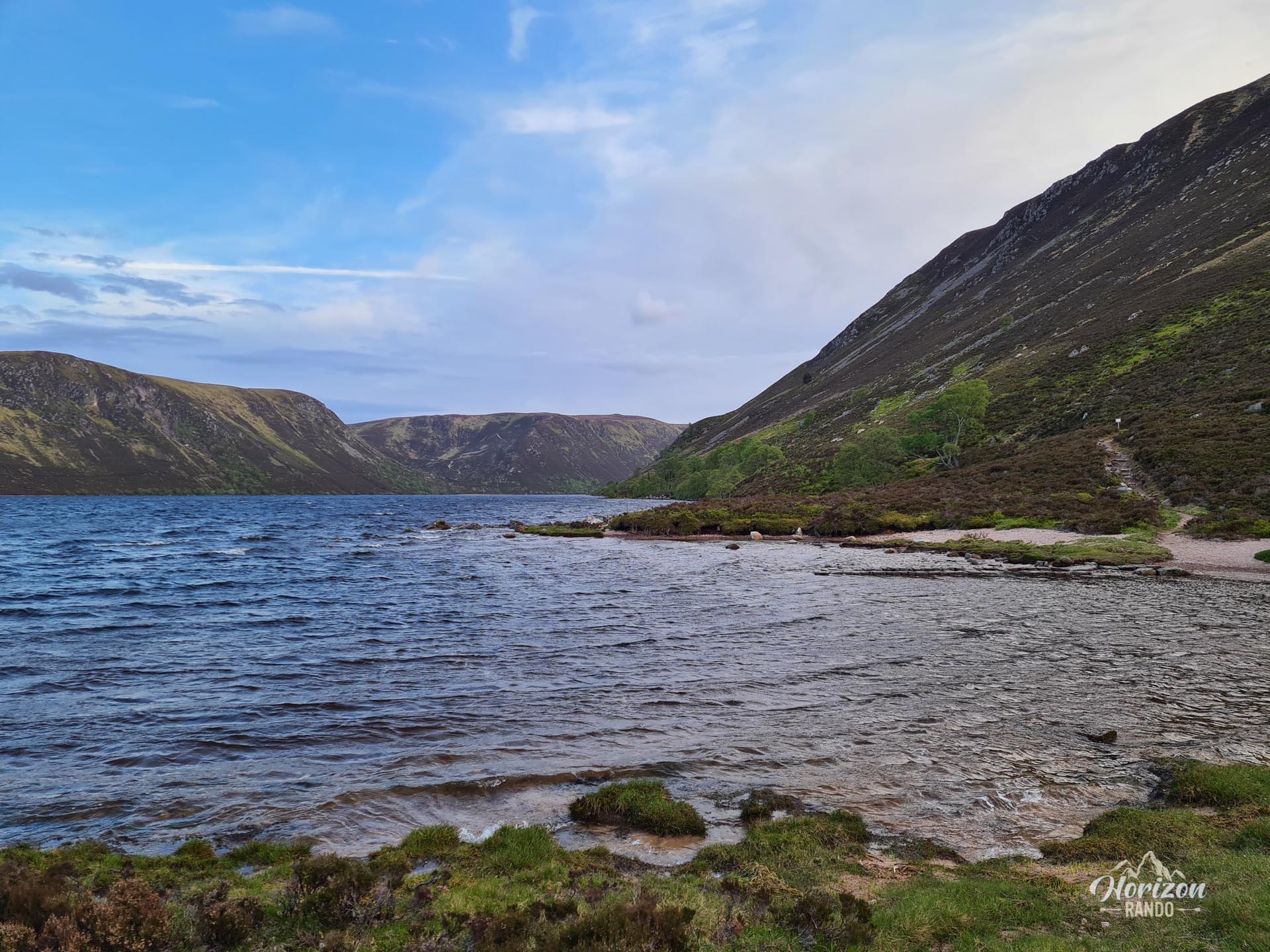
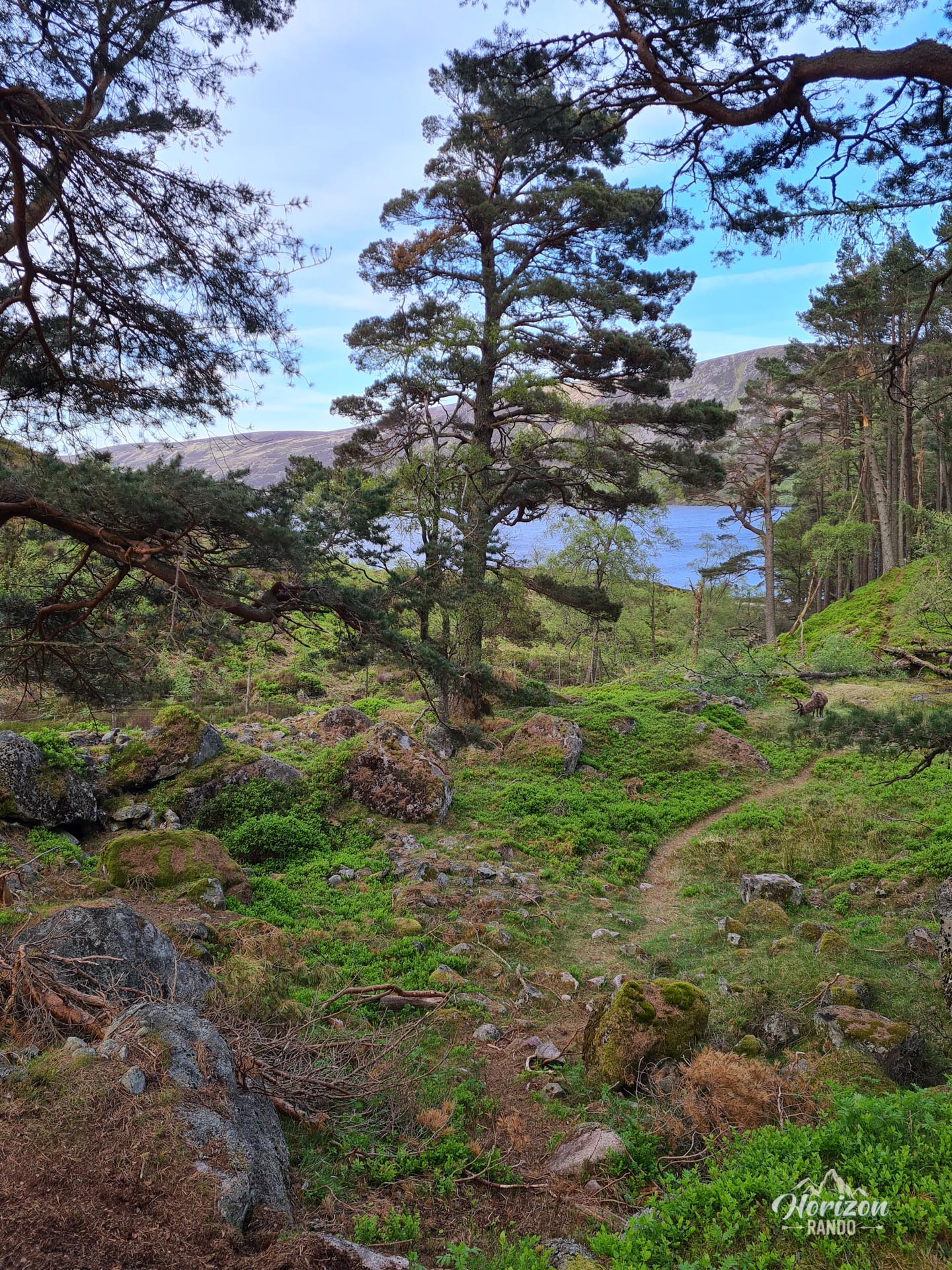
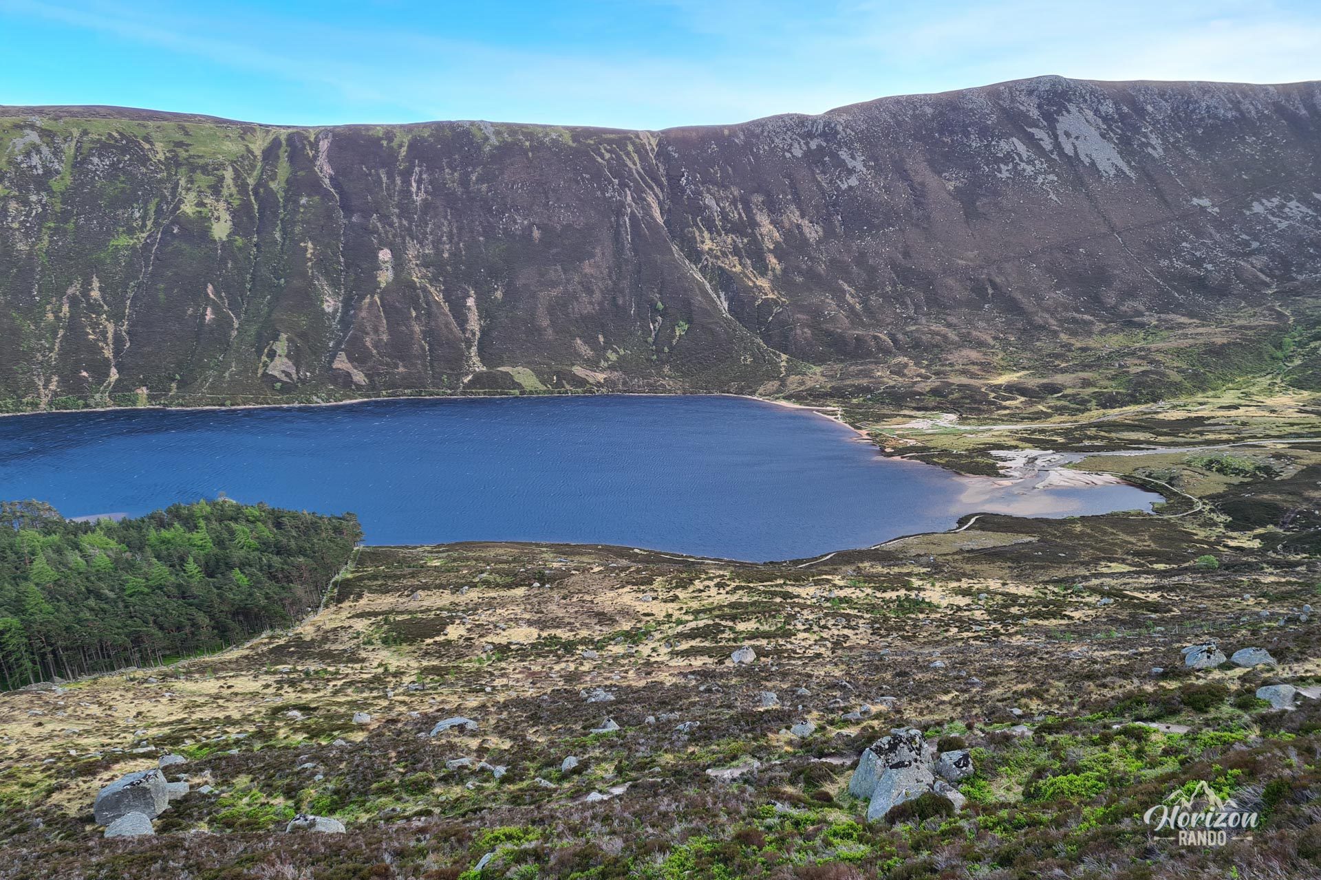
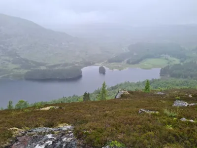
- Loch Muick: At the beginning of the route, you will walk alongside this vast glacial lake, which is surrounded by steep slopes and lined with birch trees.
Practical information
Parking
There is a large paid parking lot at the start of the hike (indicative price in 2025 is £5 for the day).
Direction of the route
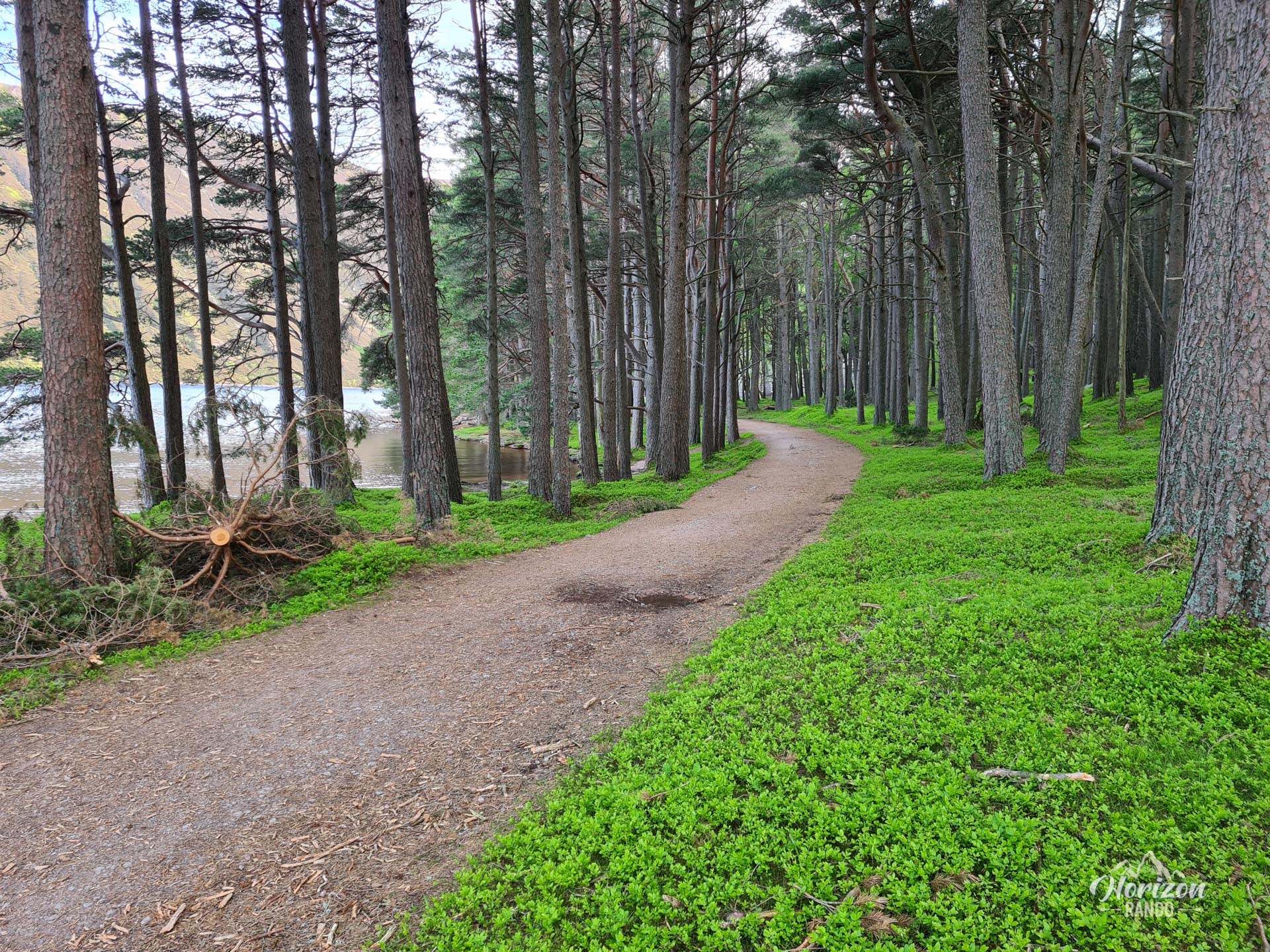
For an optimal experience, I recommend following the circuit clockwise. This allows you to enjoy the spectacular views without having to turn around constantly. Starting with the five kilometers of trail along Loch Muick allows you to avoid finding them long and boring at the end of the route when fatigue sets in.
Photos
See all 23 photos →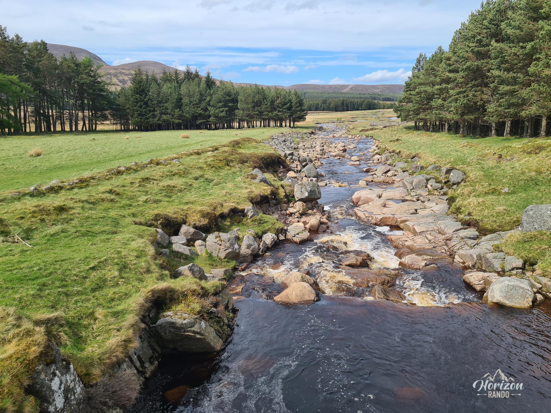
More hikes to do in Scotland
Nearby hikes









Printed from www.horizonrando.fr/en/scotland/lochnagar/