





Big Burn Hike
Key facts about the hike
- Difficulty
- Very easy Hikes are rated from very easy to very hard: my difficulty scale
- Duration
- 1h15 Estimated time, short breaks included (photos, water, snacks), picnic not included: how it is calculated
- Distance
- 3km
- Elevation gain
- 90m
- Type of route
- Loop
- Maximum altitude
- 140 m
- Vertiginous Five levels, depending on how exposed the route is: the levels in detail
- No
- Marked
- Yes
- Popularity
- Moderate
- Region
- Sutherland
- Start point
- 57.97905, -3.96262
- Activity
- Hiking
Hike overview
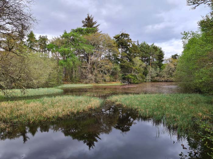
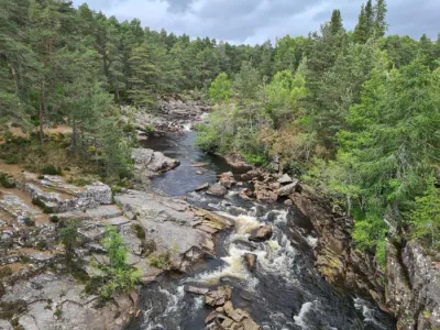
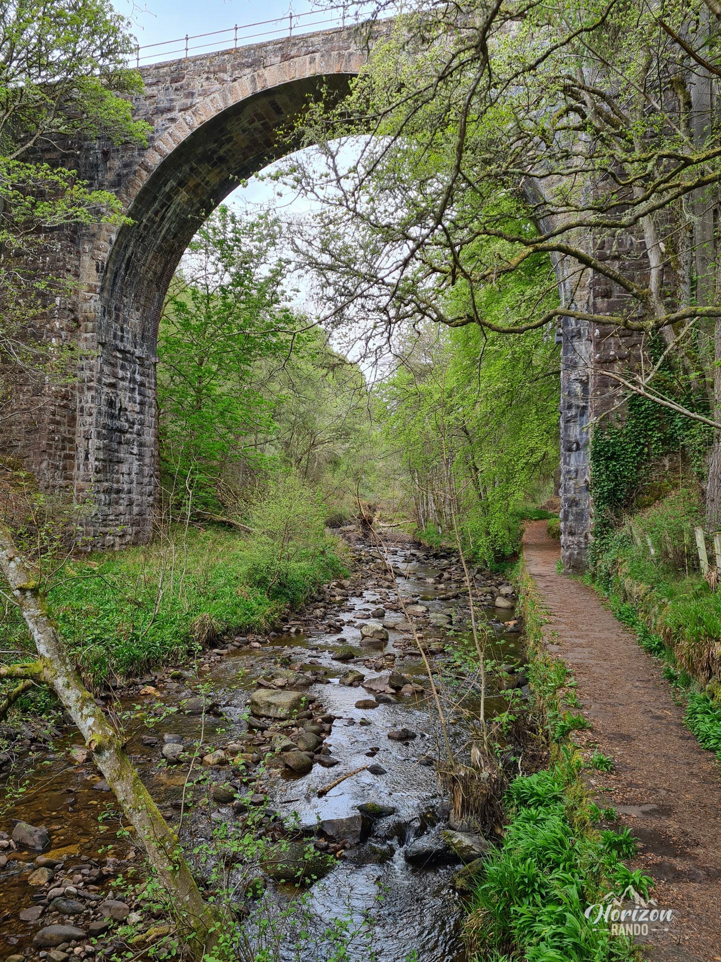
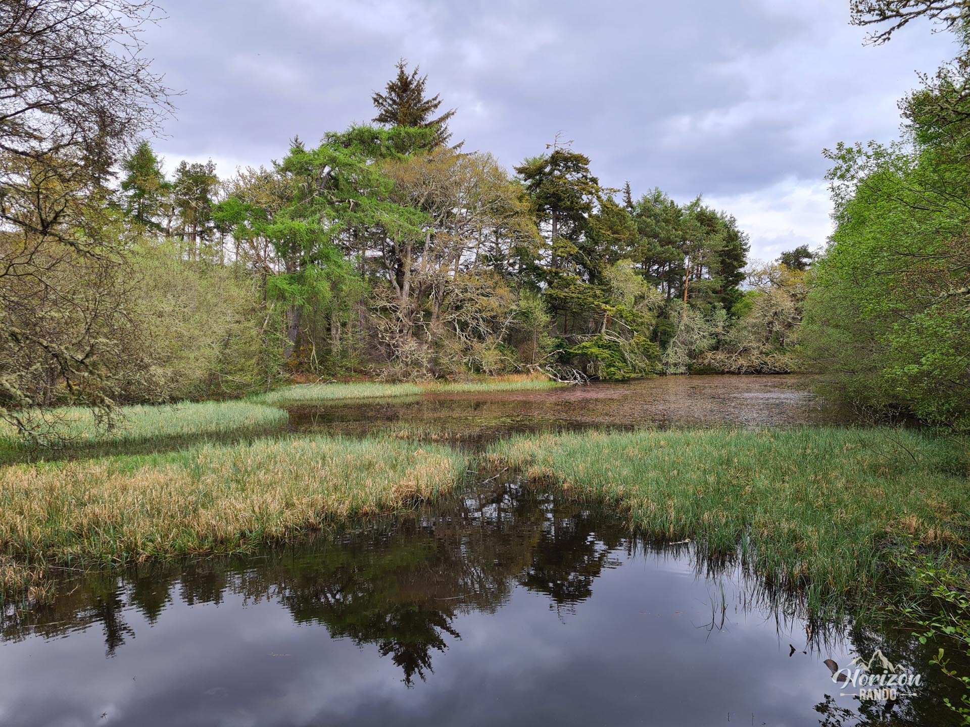
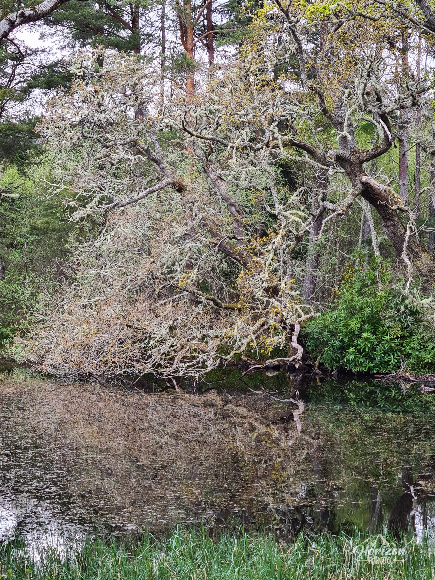
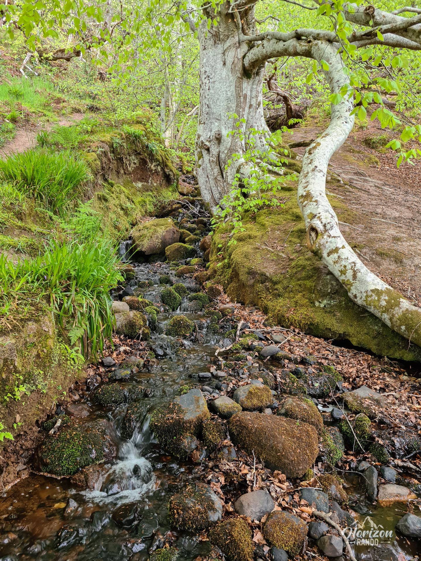
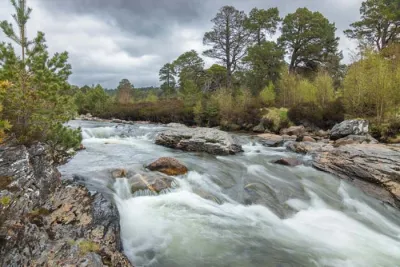
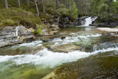
The Big Burn hike is a pleasant walk through the forest alongside the Golspie River through a picturesque gorge. The trail leads to an impressive waterfall at the bottom of the gorge, where a viewing platform has been built so you can admire the spectacle. This short, accessible hike is the perfect way to experience a corner of the Scottish wilderness.
Map and elevation profile of the hike
Big Burn Hike
Difficulties of the hike
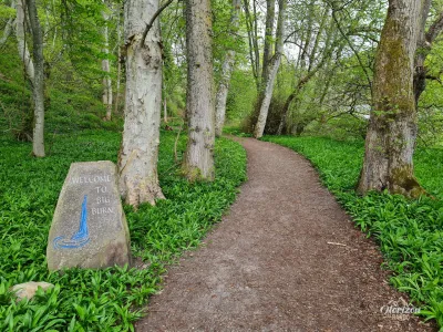
The trail is easy and ideal for families with young children. The paths are well-maintained and clearly marked, so take advantage of this, as it's not often the case in Scotland!
What you'll love
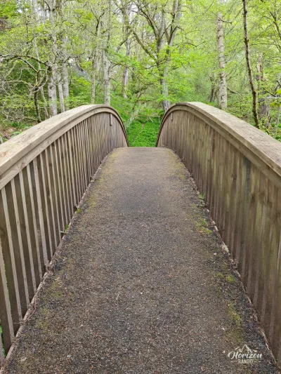
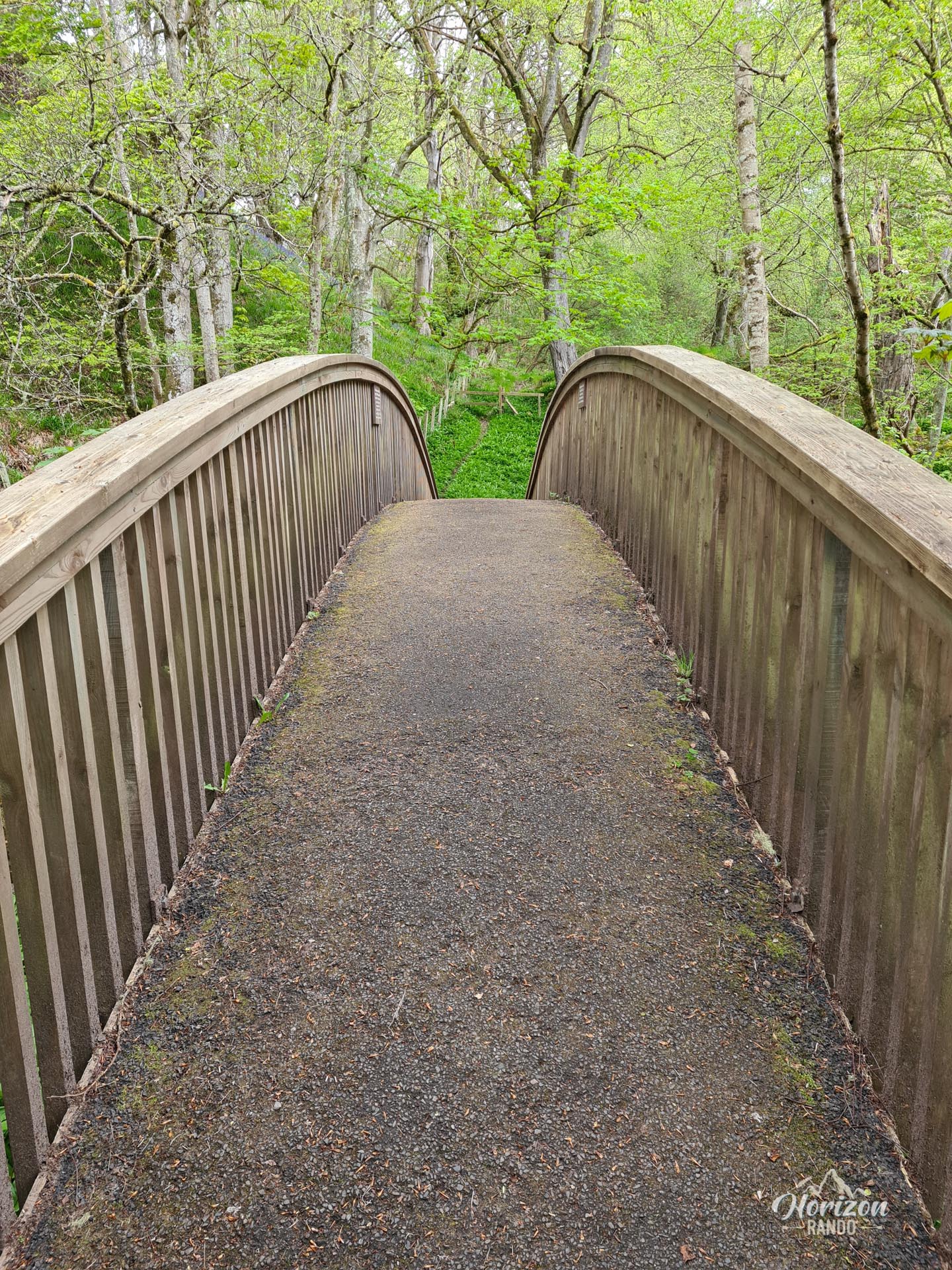
- Big Burn Gorge: An enchanting forest environment with numerous picturesque bridges crossing the Golspie Burn, offering varied and photogenic views
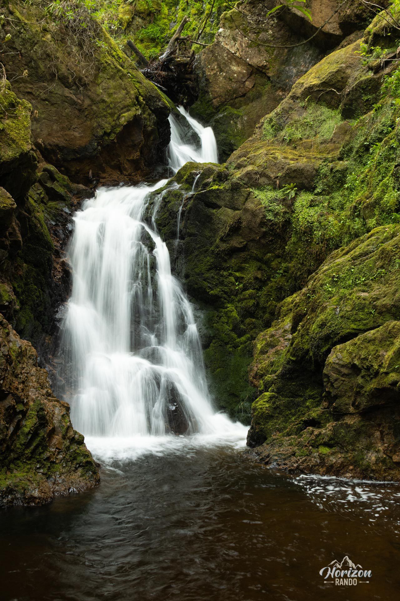
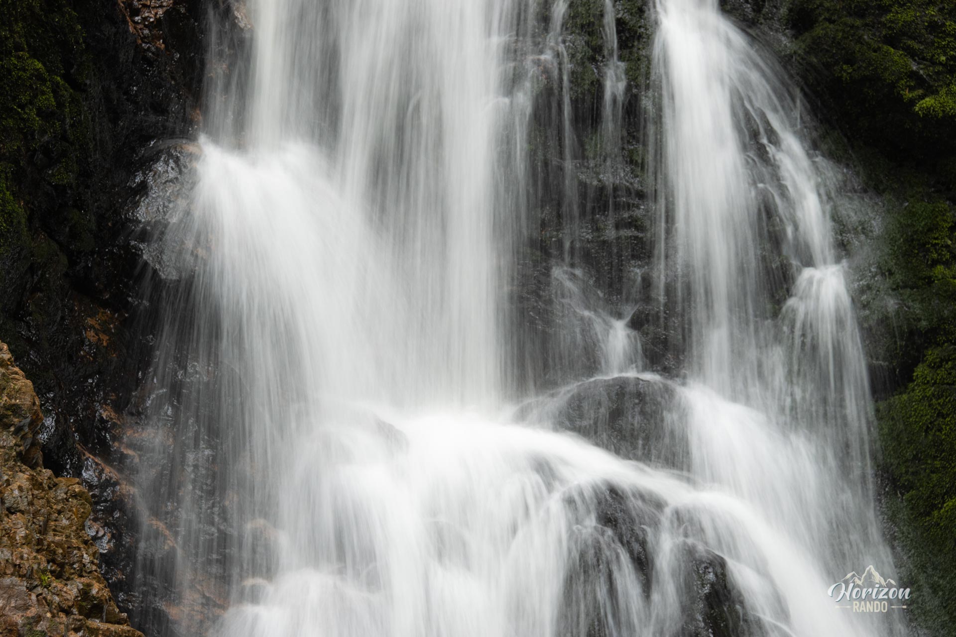
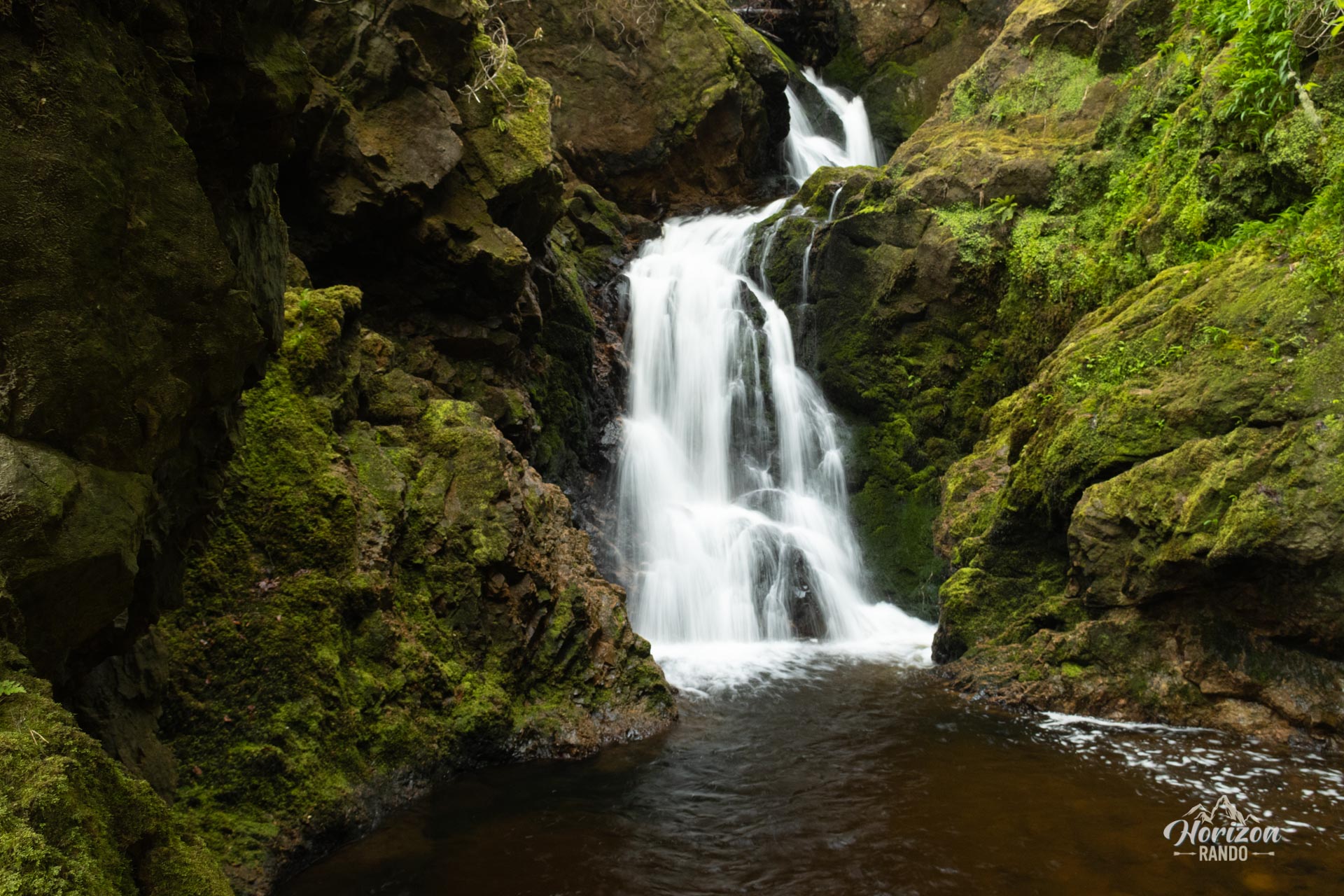
- The final waterfall, which is accessible via a viewing platform.
Photos
See all 10 photos →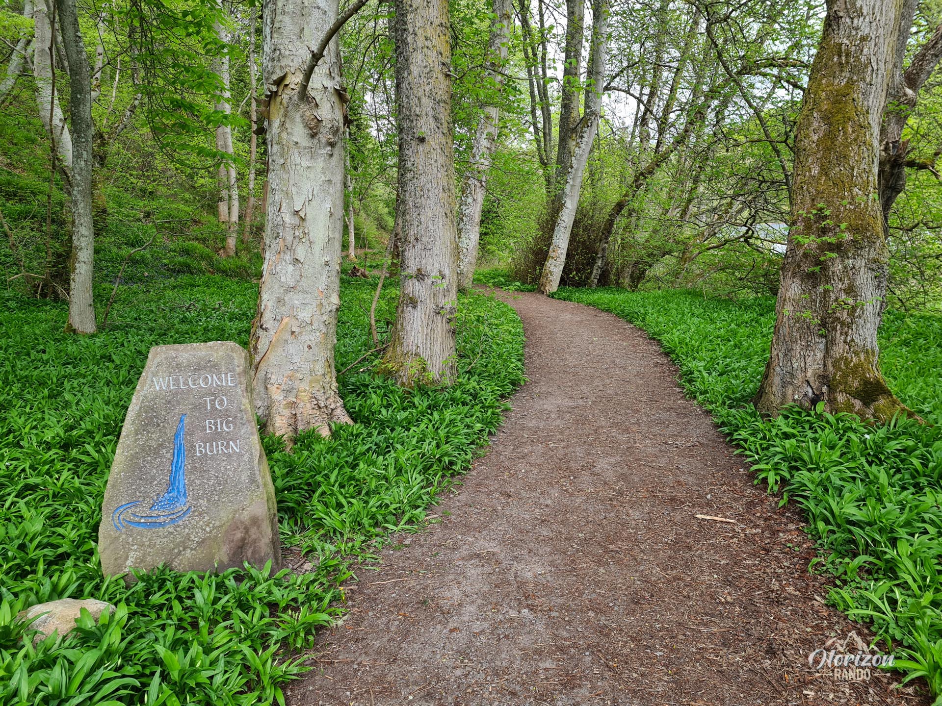
More hikes to do in Scotland
Nearby hikes








Printed from www.horizonrando.fr/en/scotland/big-burn/