





Oldshoremore Bay Hike
Key facts about the hike
- Difficulty
- Easy Hikes are rated from very easy to very hard: my difficulty scale
- Duration
- 3h15 Estimated time, short breaks included (photos, water, snacks), picnic not included: how it is calculated
- Distance
- 8.9km
- Elevation gain
- 270m
- Type of route
- Loop
- Maximum altitude
- 95 m
- Vertiginous Five levels, depending on how exposed the route is: the levels in detail
- No
- Marked
- No
- Popularity
- Low
- Region
- Sutherland
- Start point
- 58.47731, -5.08325
- Activity
- Hiking
Hike overview
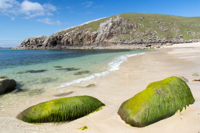
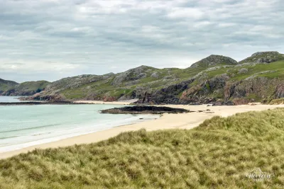
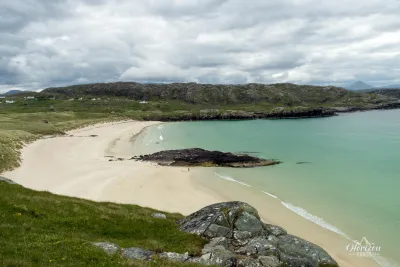
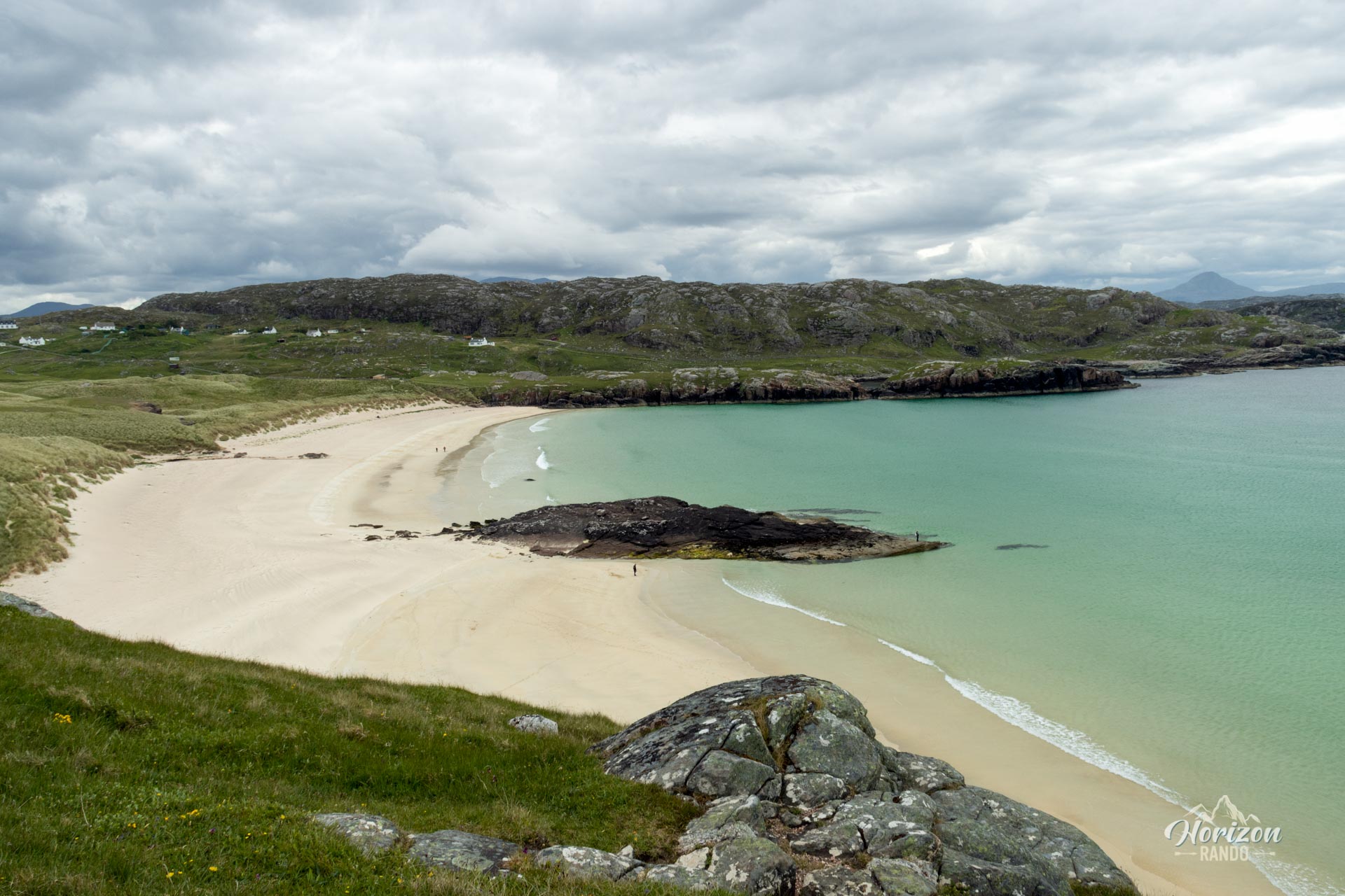
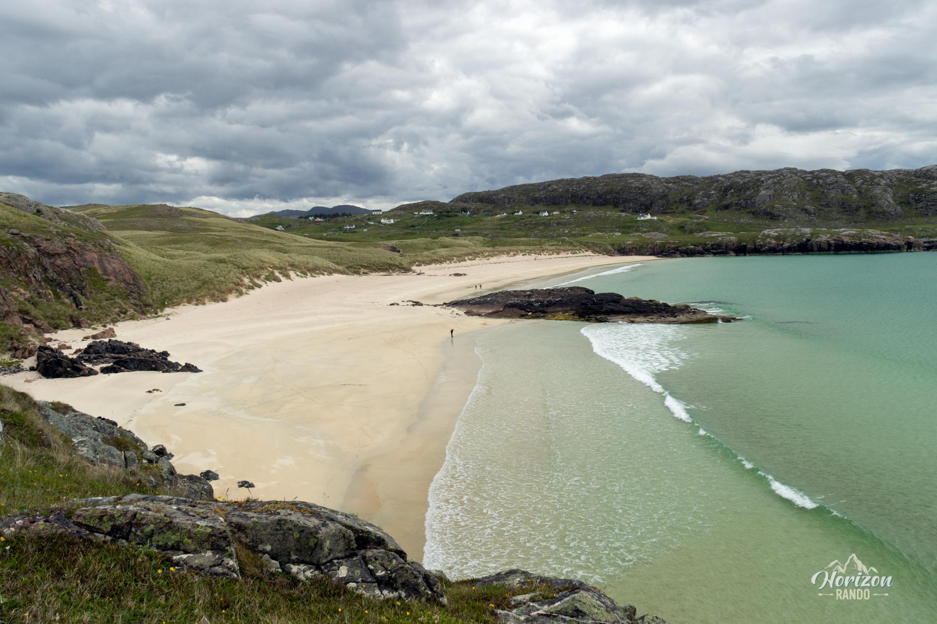
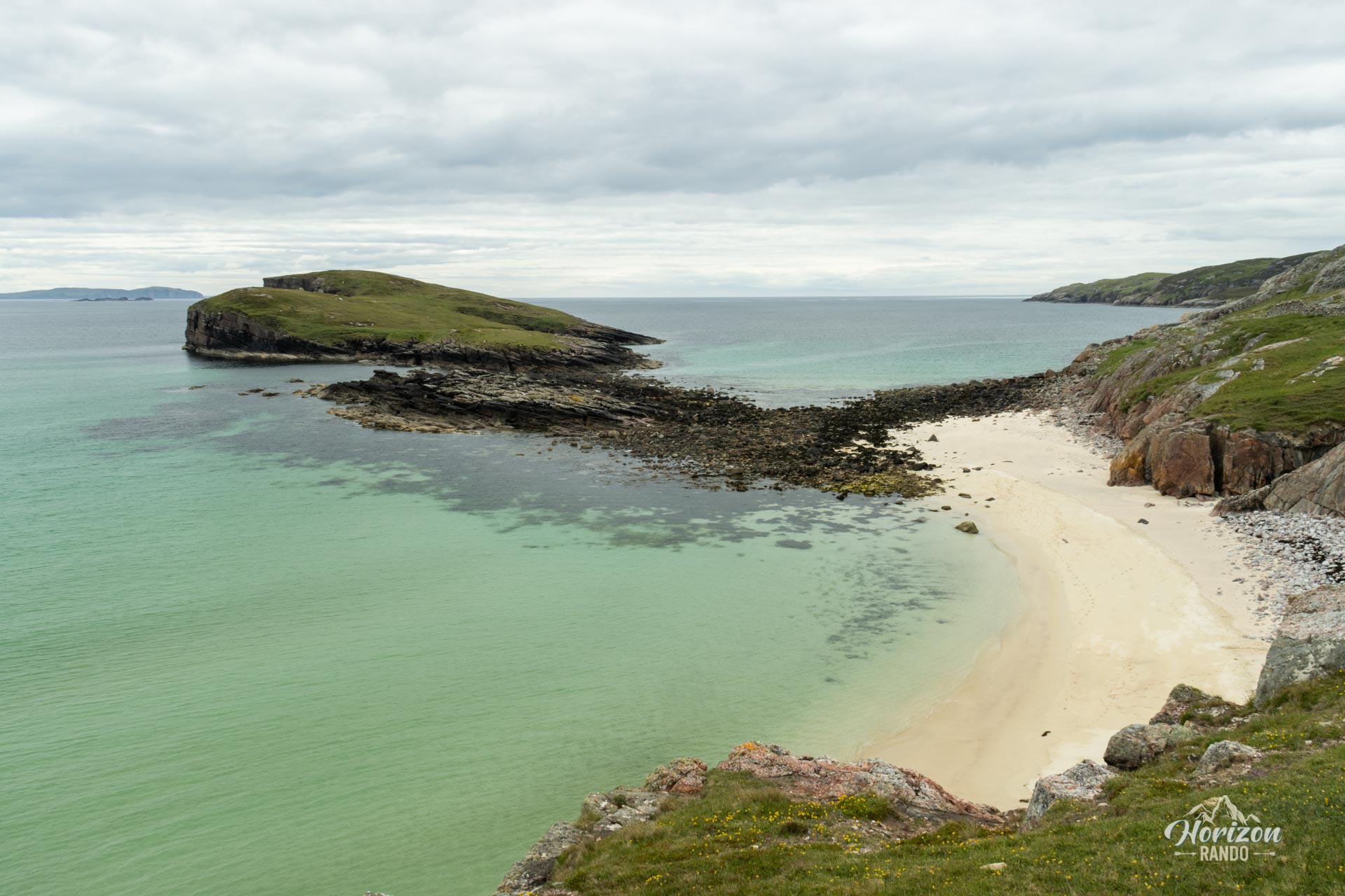
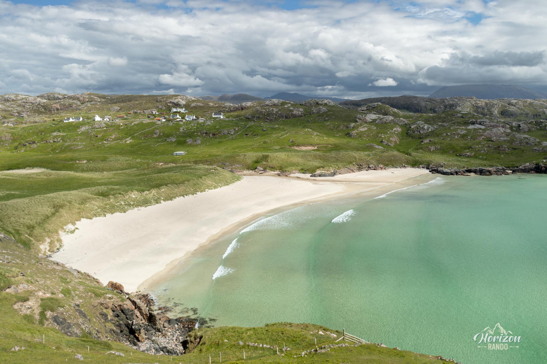
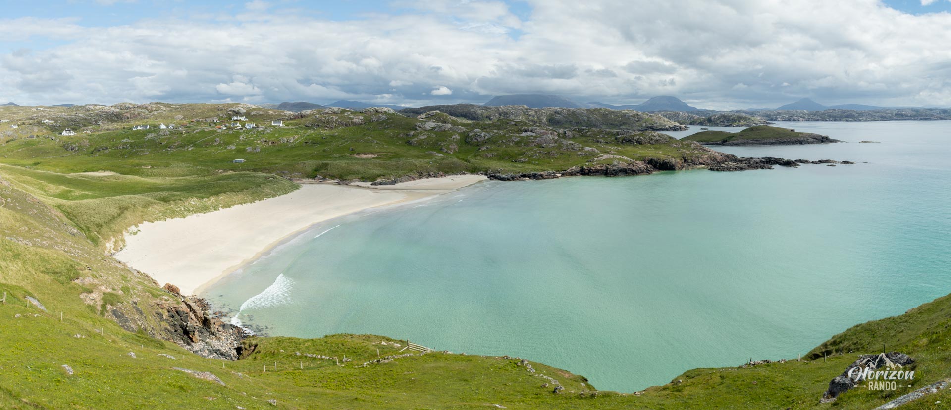
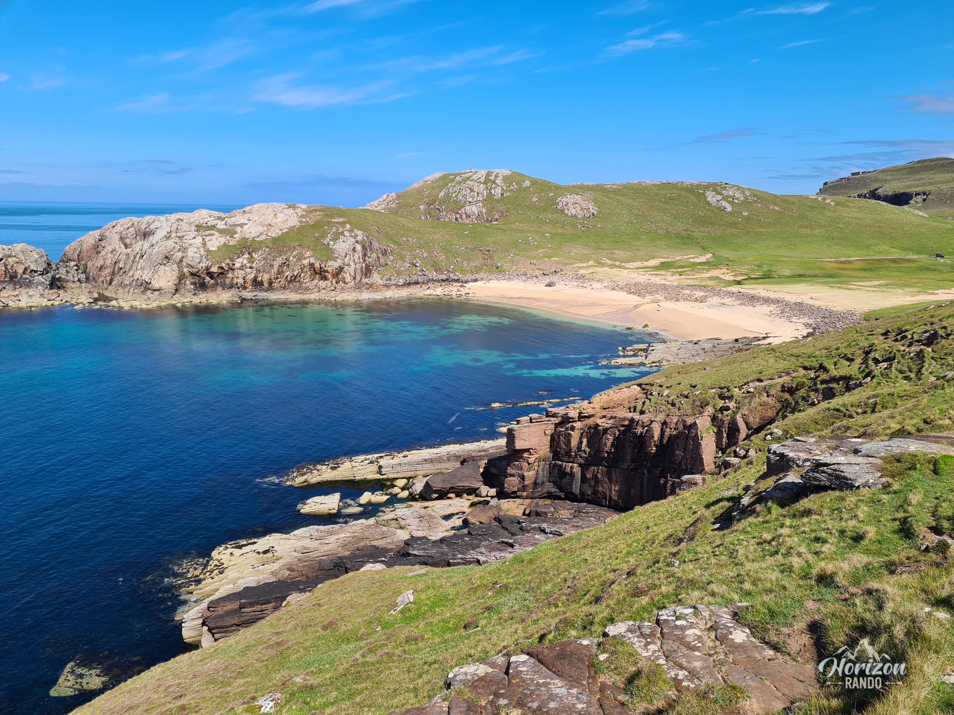
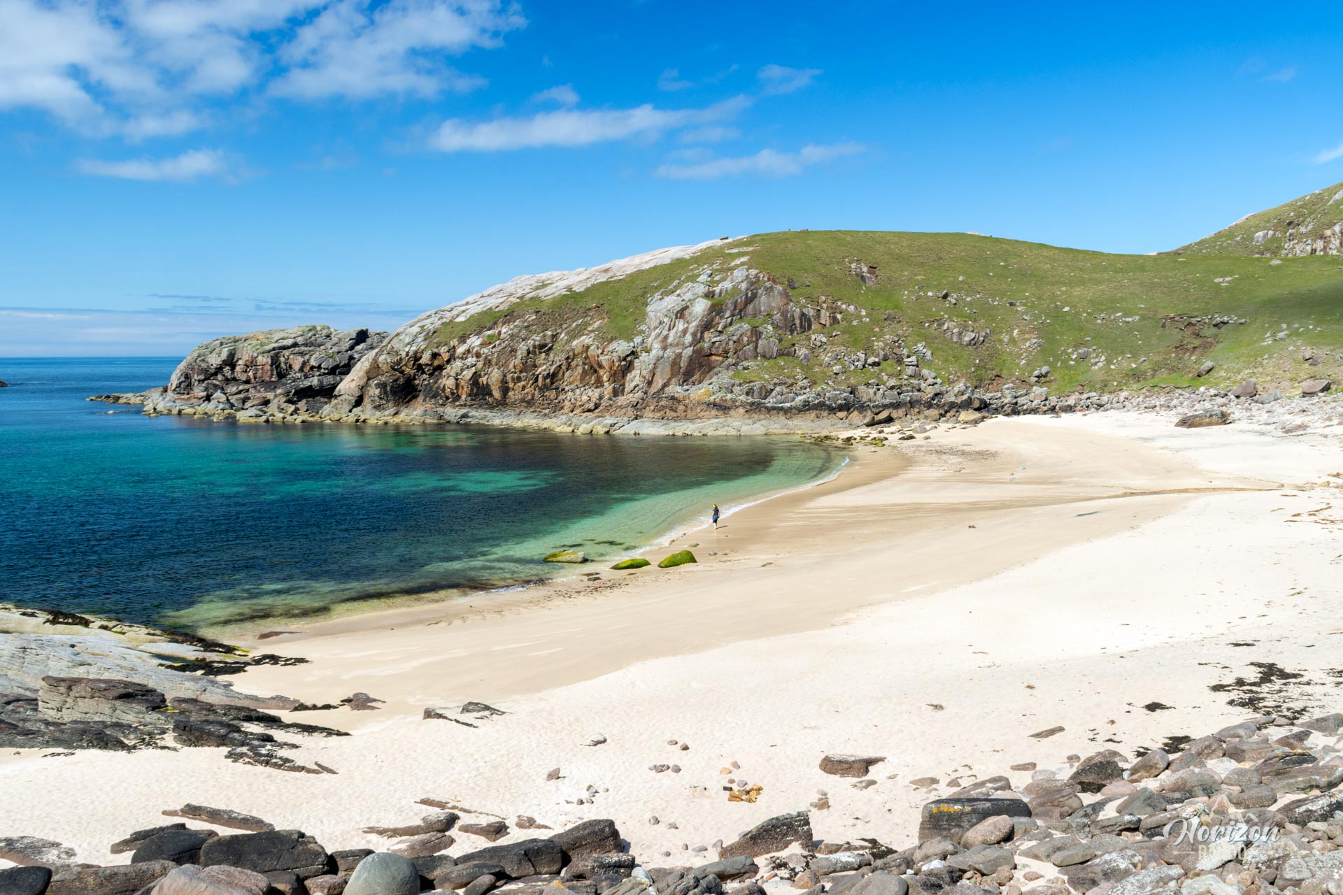
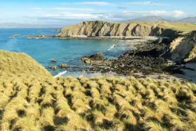
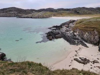
The Oldshoremore Bay hike is a magnificent coastal trail that leads to three long, sandy beaches with crystal-clear waters, set in the wild and unspoiled Scottish Highlands.
The route follows the coastline to Sheigra Beach and then returns via a quiet country road. Often compared to the famous Sandwood Bay, Oldshoremore offers similar beauty but is much more accessible.
Map and elevation profile of the hike
Oldshoremore Bay Hike
Difficulties of the hike
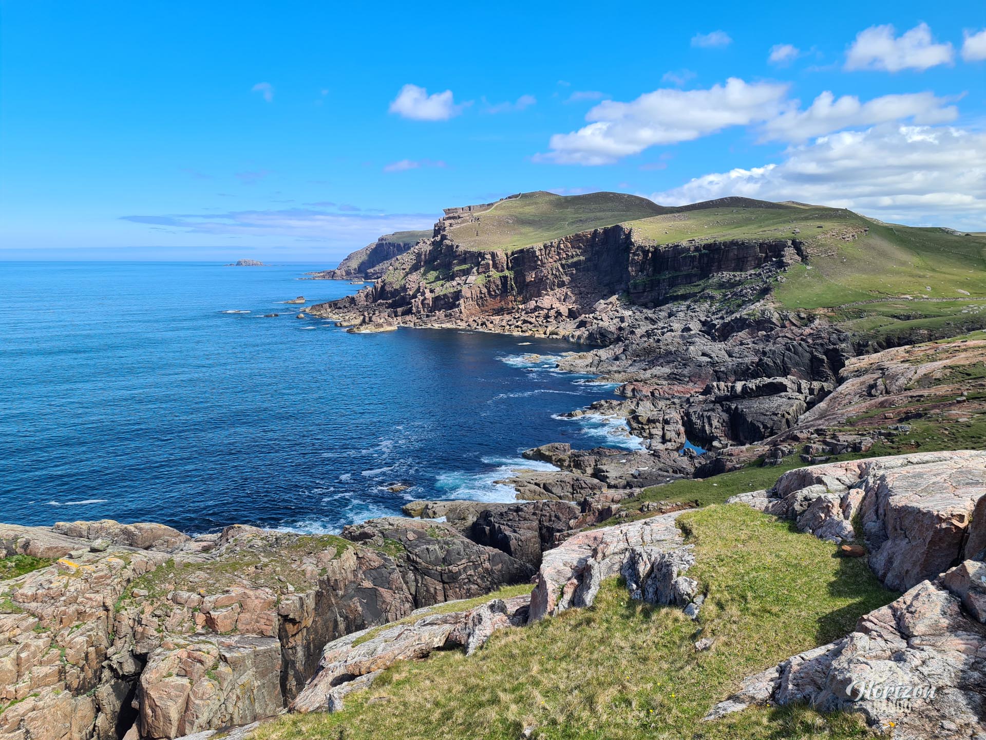
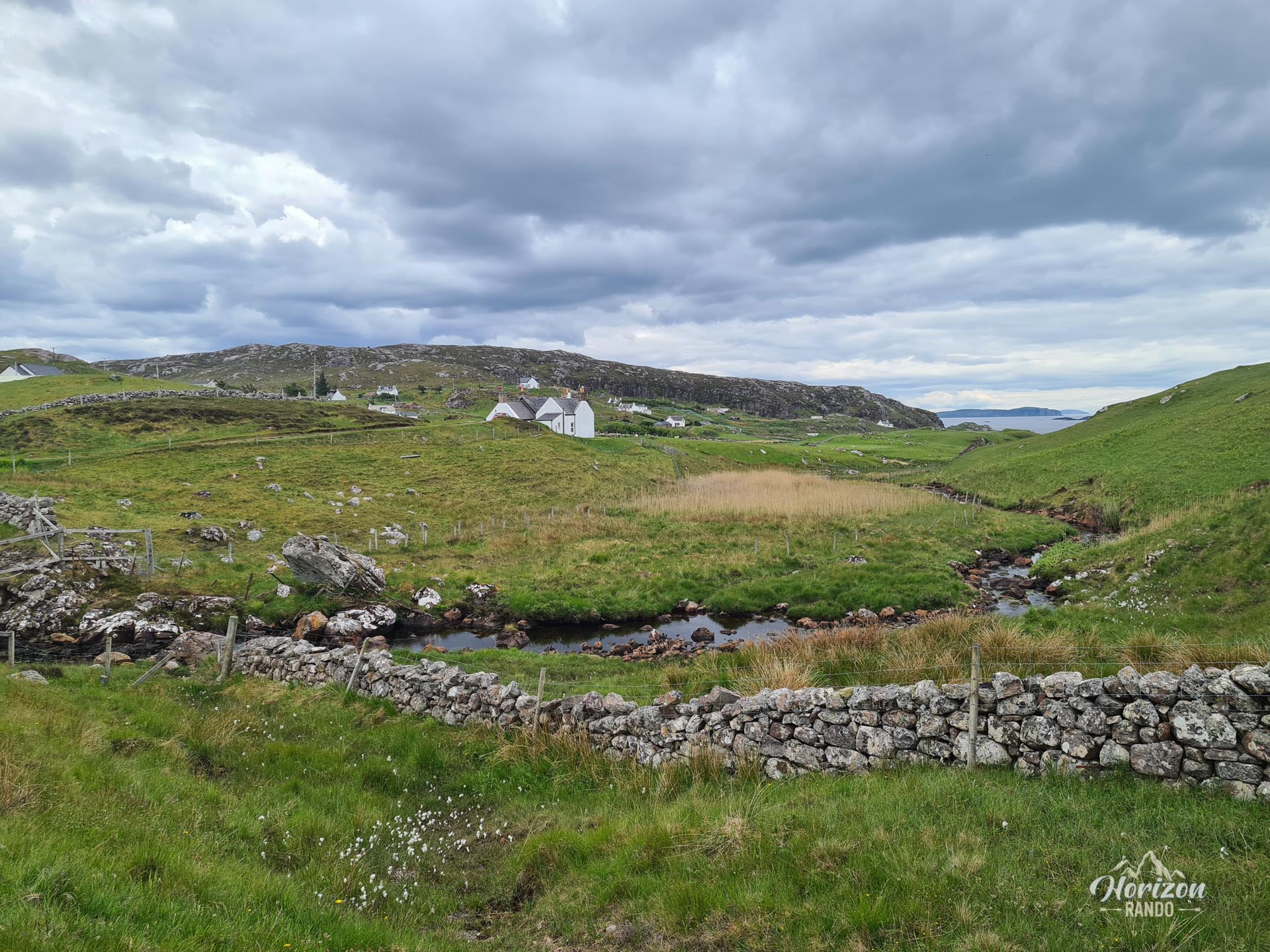
The coastal path is uneven, and some sections have no path at all. Between each beach, the route crosses rocky headlands with fairly steep ascents and descents. However, the inland section along the road is easy and quite pleasant.
What you'll love
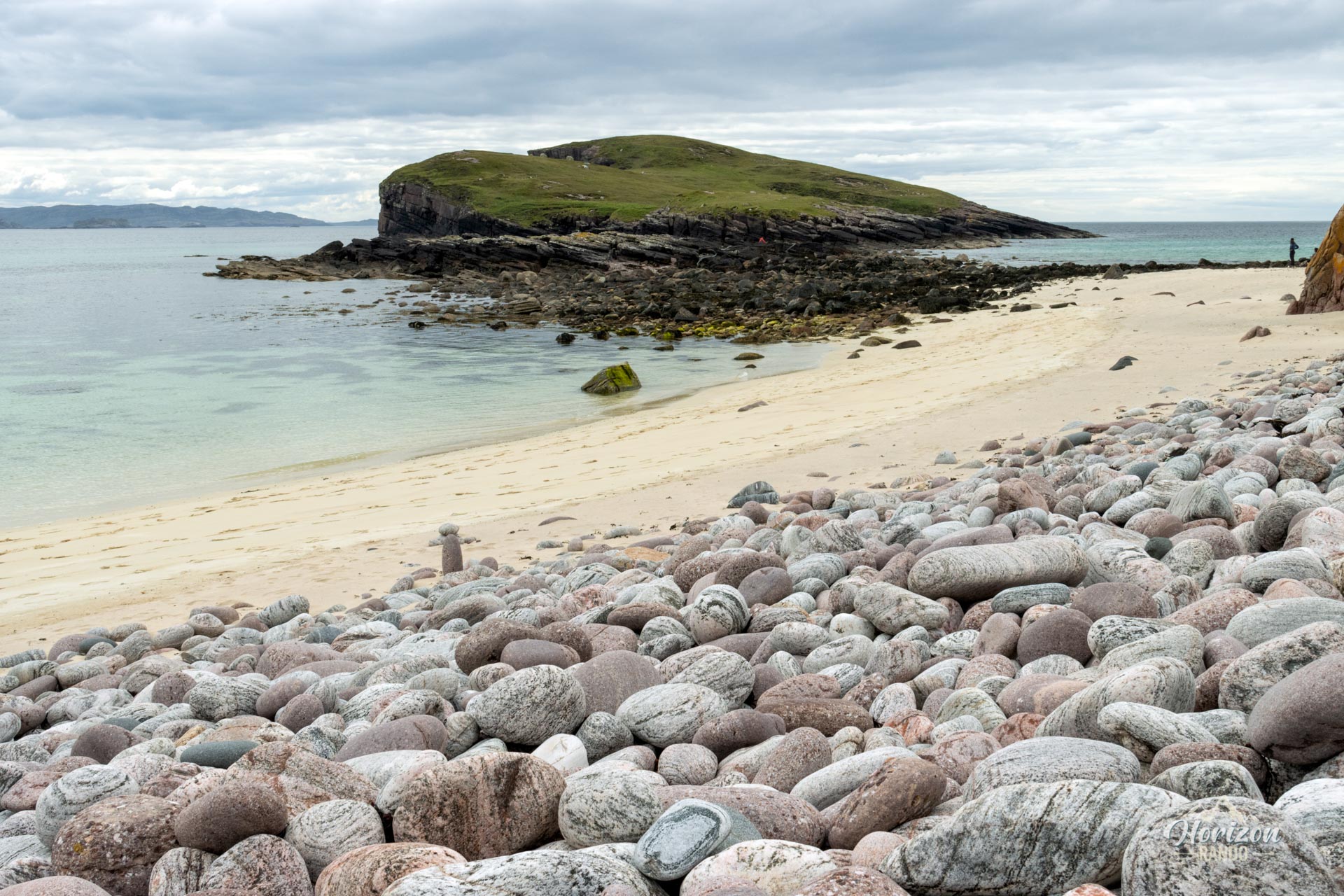
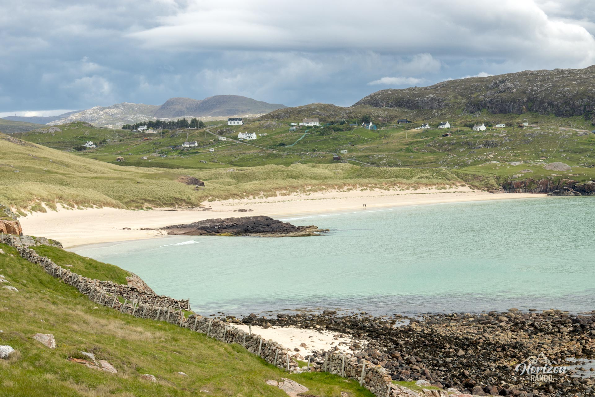
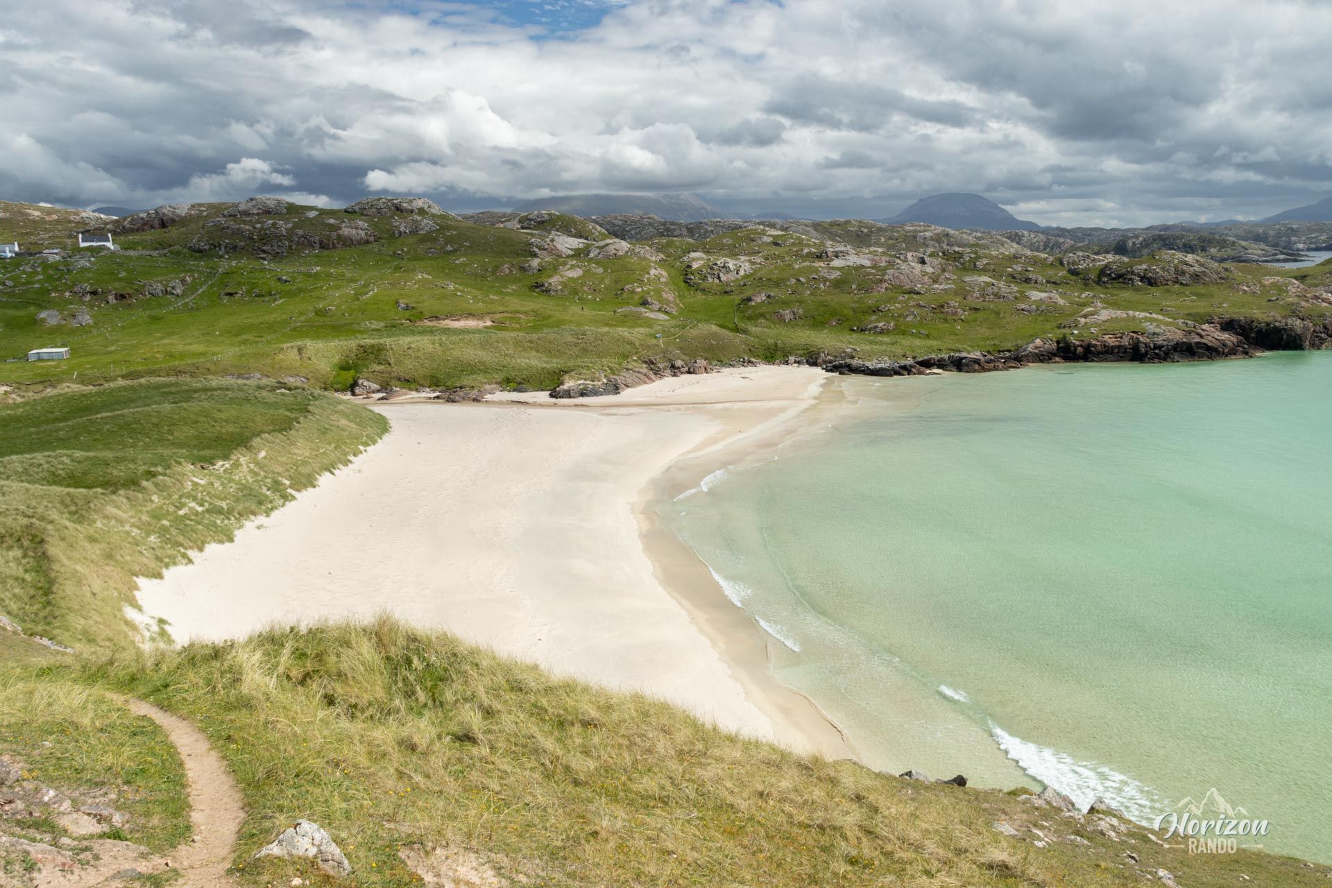
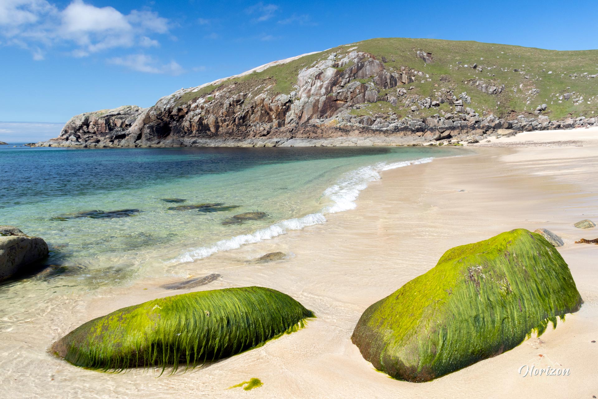
- The three spectacular beaches along the route: Oldshoremore, Polin, and Sheigra, which boast fine golden sand and crystal-clear blue waters.
- The wild and unspoiled nature of the area, which allows you to fully enjoy the outdoors thanks to moderate visitor numbers.
Photos
See all 18 photos →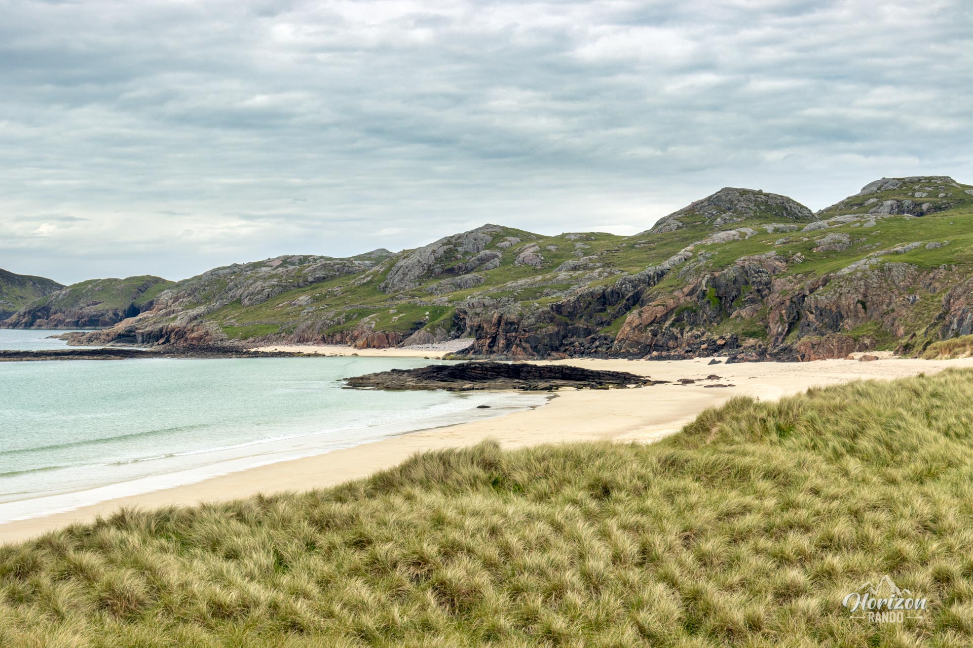
More hikes to do in Scotland
Nearby hikes









Printed from www.horizonrando.fr/en/scotland/oldshoremore-bay/