





Stac Pollaidh Hike
Key facts about the hike
- Duration
- 3h Estimated time, short breaks included (photos, water, snacks), picnic not included: how it is calculated
- Distance
- 3.8km
- out and back
- Elevation gain
- 490m
- Type of route
- Out and back
- Maximum altitude
- 551 m
- Vertiginous Five levels, depending on how exposed the route is: the levels in detail
- Slightly
- Marked
- No
- Popularity
- Moderate
- Region
- Ullapool
- Start point
- 58.03472, -5.20717
- Activity
- Hiking
Hike overview
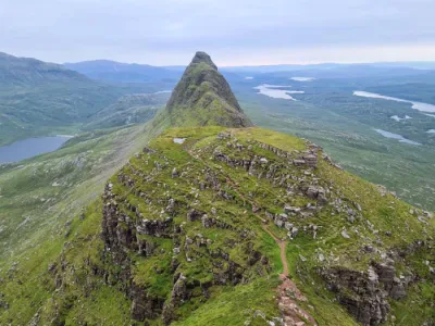
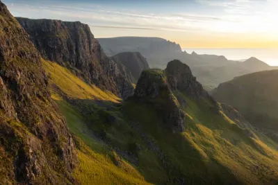
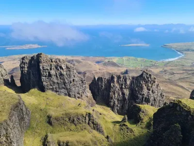
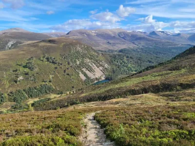
The Stac Pollaidh hike takes you to the summit of an iconic Assynt mountain famous for its Torridonian sandstone pinnacles and spectacular views of the region's lochs and isolated peaks.
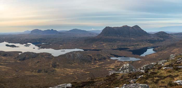
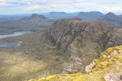
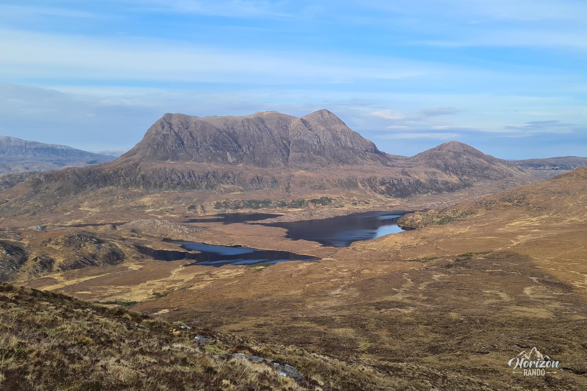
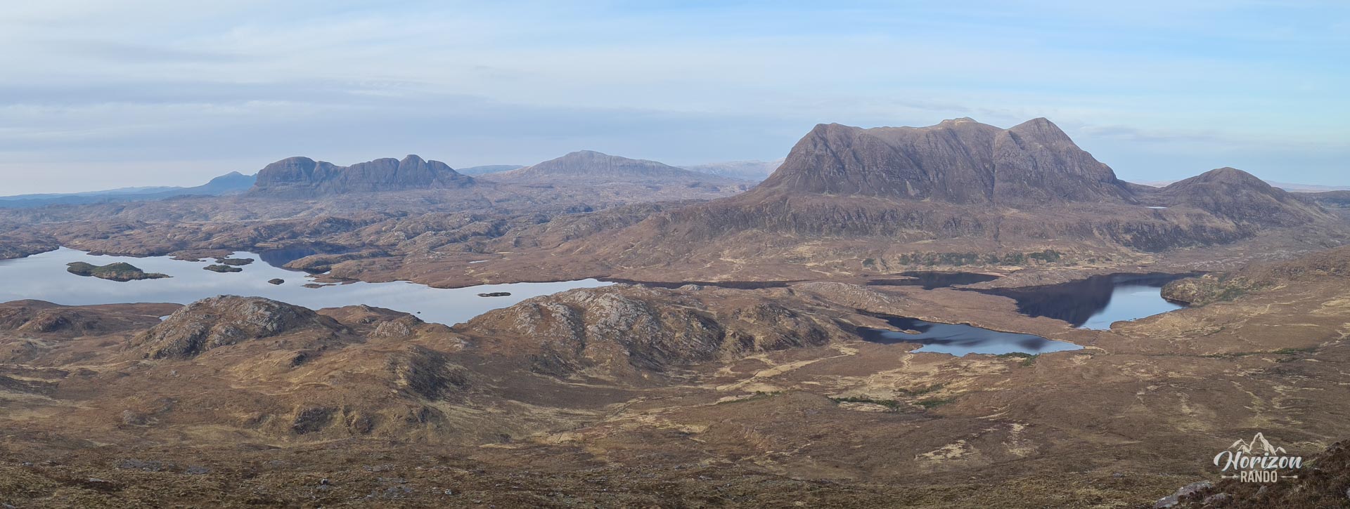
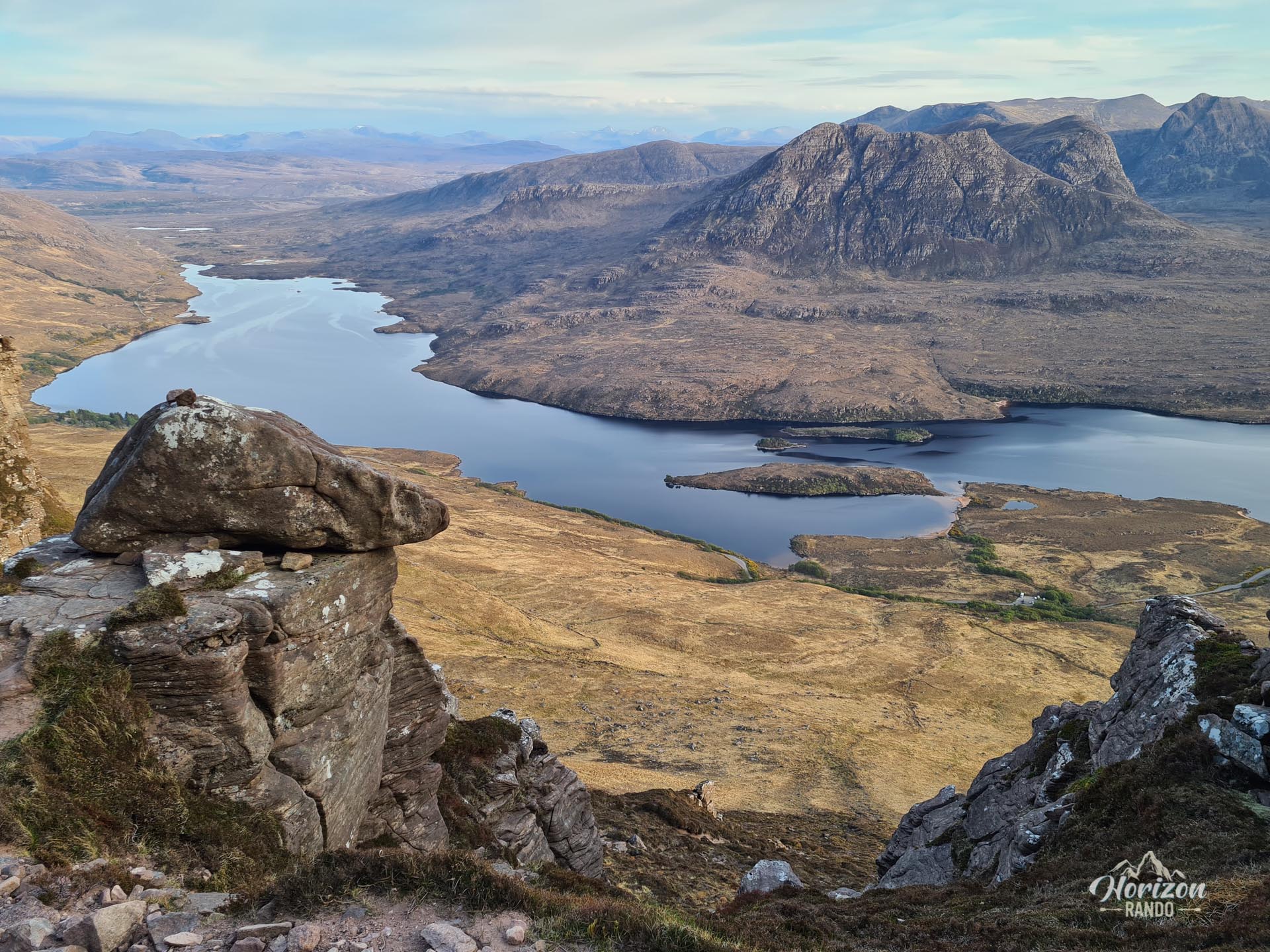
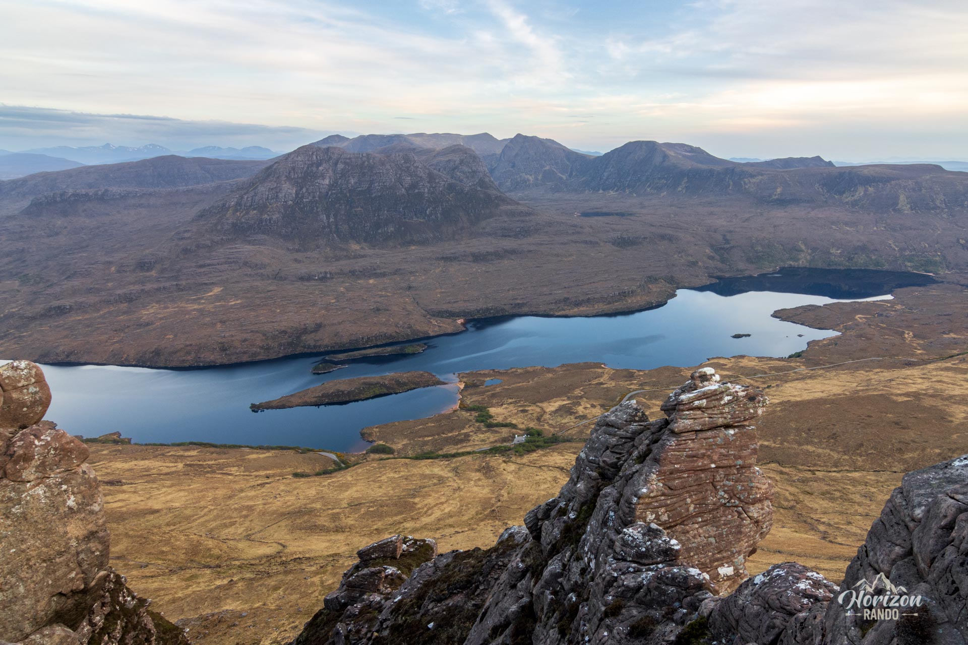
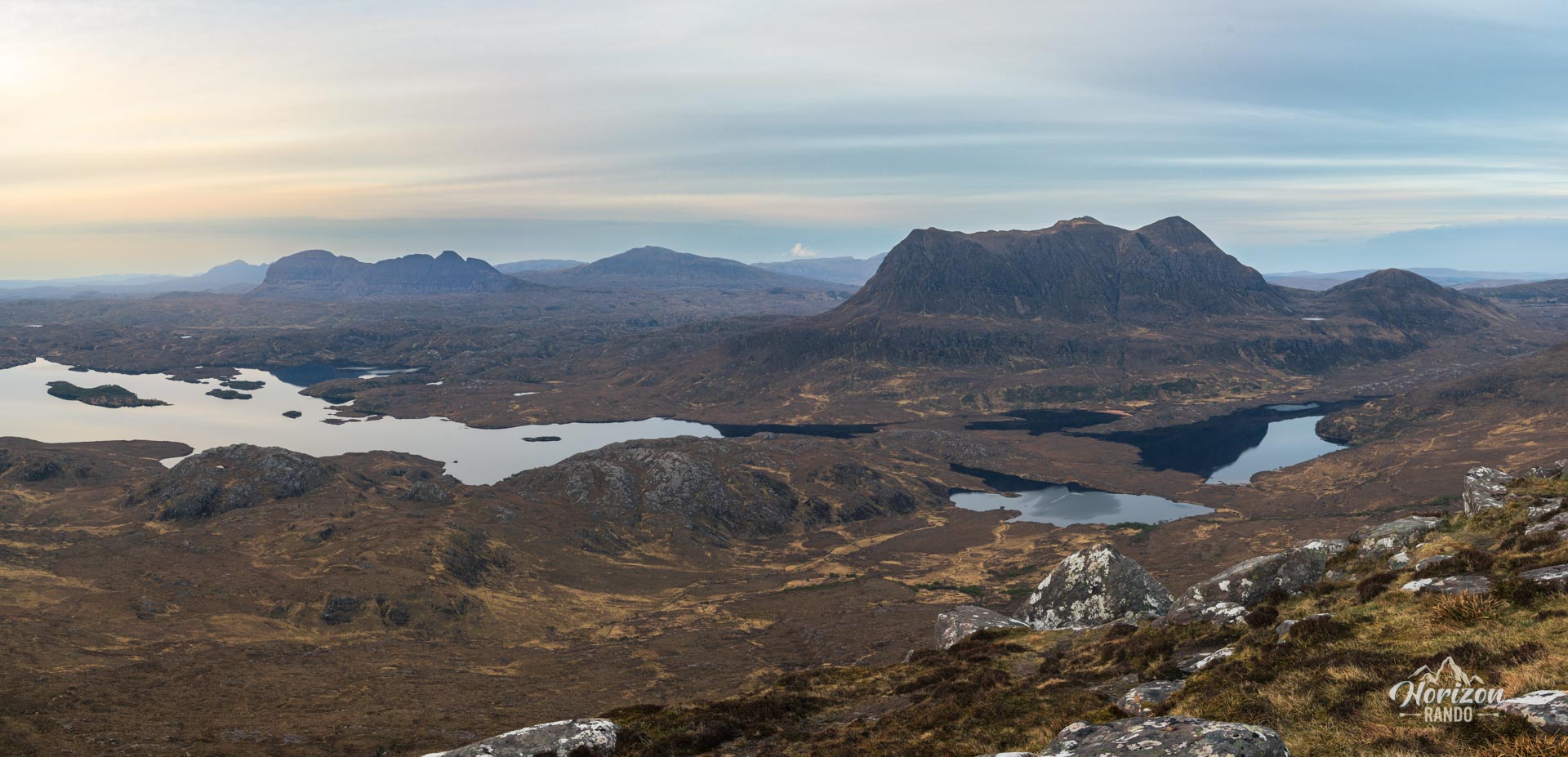
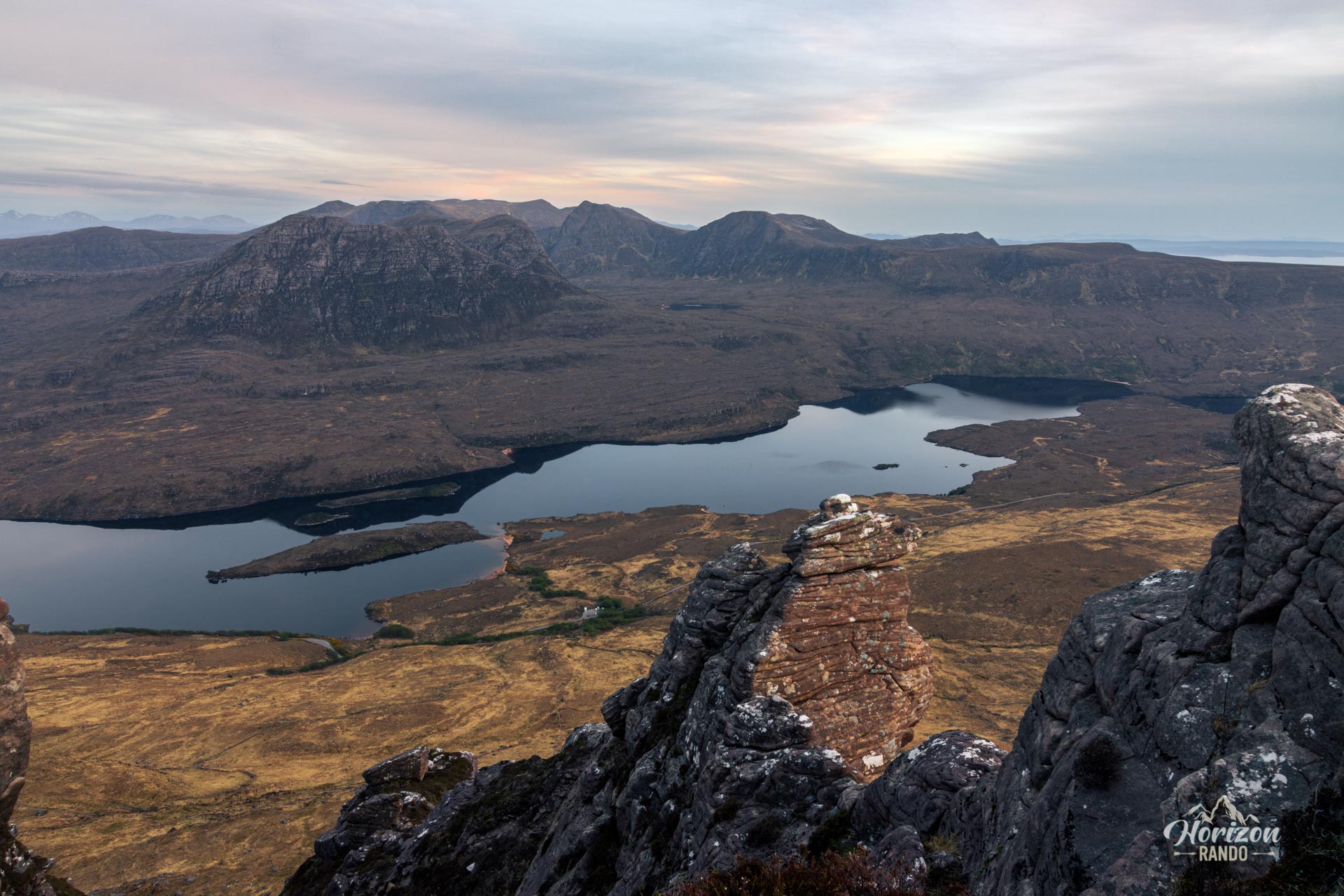
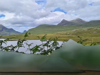
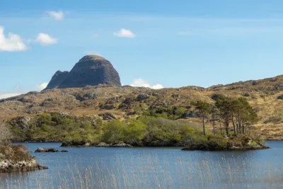
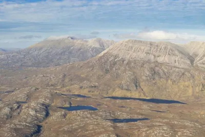
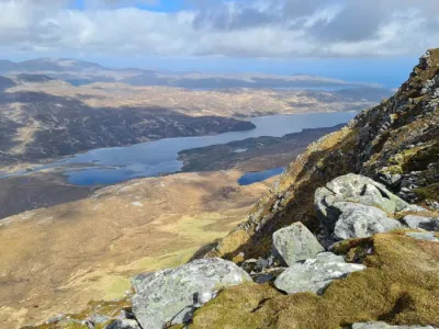
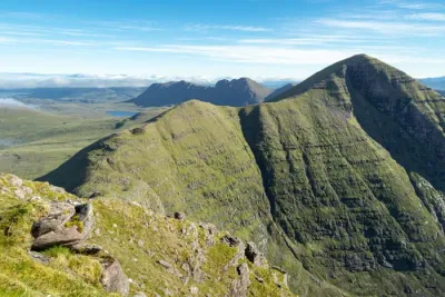
This short, relatively accessible route has become very popular due to its exceptional effort-to-reward ratio: In less than two hours of hiking, you can enjoy one of the most impressive 360-degree panoramas in Scotland. Views stretch from Suilven to Cùl Mòr and take in the countless lochs scattered across the wild northwestern Highlands landscape.
Map and elevation profile of the hike
Stac Pollaidh Hike
Difficulties of the hike
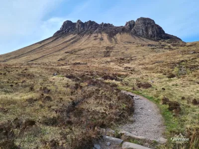
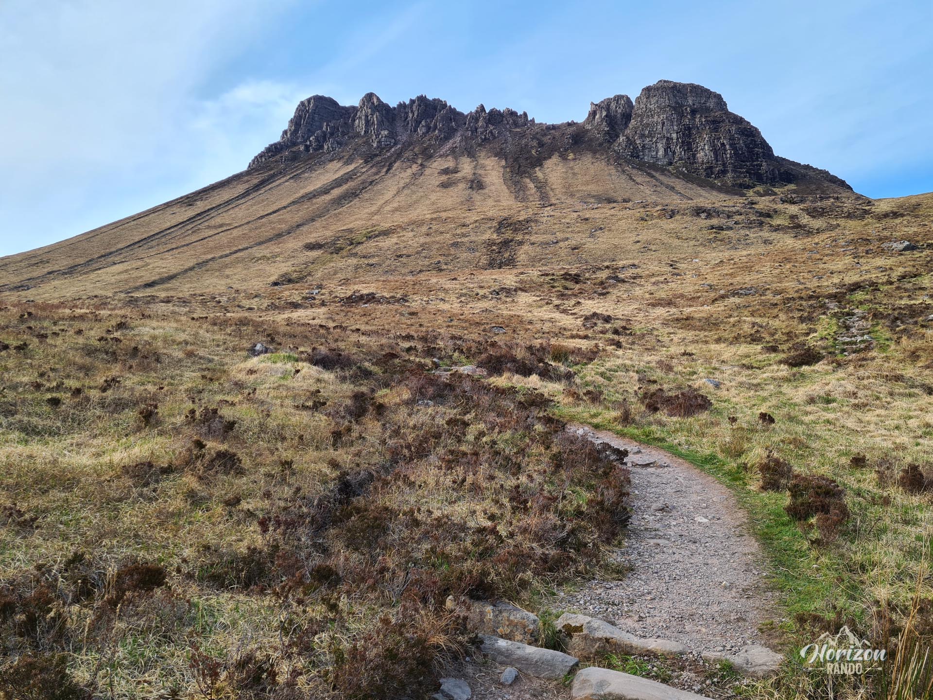
The route described here leads to the eastern summit of Stac Pollaidh. The western summit, which is the highest point, requires climbing skills. The well-maintained but unmarked trail is easy to follow thanks to its popularity and the constant visibility of the summit. The slopes are fairly steep but do not present any major technical difficulties.
What you'll love
- The spectacular panorama from the ridge: A breathtaking 360-degree view of the iconic Assynt mountains (Suilven, Cùl Mòr, and Canisp) and the countless lochs and lochans dotting the surrounding wilderness.
- An excellent effort-to-reward ratio: In just three hours and under four kilometers, you reach one of the most beautiful viewpoints in Scotland.
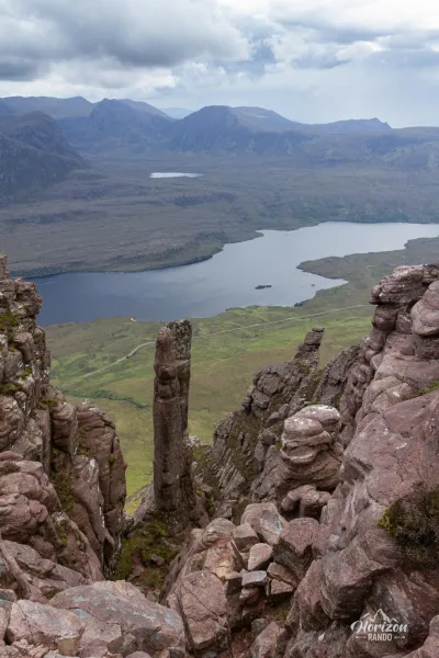
- The spectacular Torridonian sandstone ridge: explore this unique environment with its jagged rock formations and distinctive pinnacles.
Practical information
Parking
There is a large paid parking lot at Loch Lurgainn, at the foot of the trail (indicative price in 2025: £6 for a car and £8 for a camper van).
Please note
This hike only leads to the eastern summit of the mountain. Climbing skills are required to reach the true summit of Stac Pollaidh (612 m).
Photos
See all 8 photos →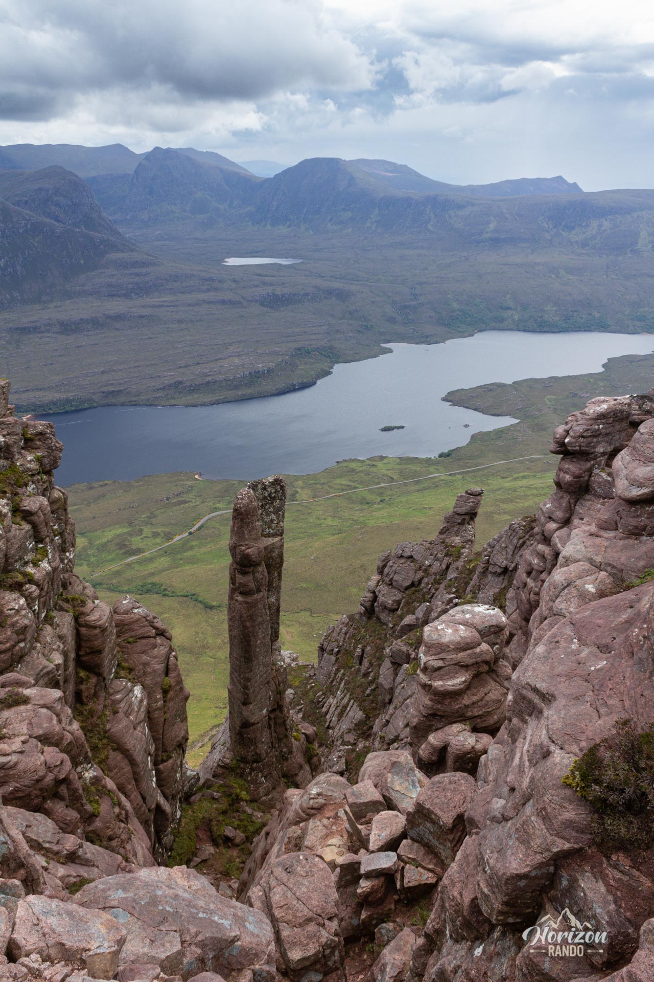
More hikes to do in Scotland
Nearby hikes


















Printed from www.horizonrando.fr/en/scotland/stac-pollaidh/