





Ben Stack Hike
Key facts about the hike
- Difficulty
- Moderate Hikes are rated from very easy to very hard: my difficulty scale
- Duration
- 4h Estimated time, short breaks included (photos, water, snacks), picnic not included: how it is calculated
- Distance
- 8.3km
- out and back
- Elevation gain
- 700m
- Type of route
- Out and back
- Maximum altitude
- 720 m
- Vertiginous Five levels, depending on how exposed the route is: the levels in detail
- Slightly
- Marked
- No
- Popularity
- Very low
- Region
- Sutherland
- Start point
- 58.31742, -4.90996
- Activity
- Hiking
Hike overview
The Ben Stack hike is a short but rewarding climb to one of Sutherland's iconic peaks. While the fairly straight and unvaried route is not the most pleasant, the views along the climb—and even more so from the summit—more than make up for it.
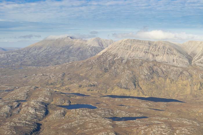
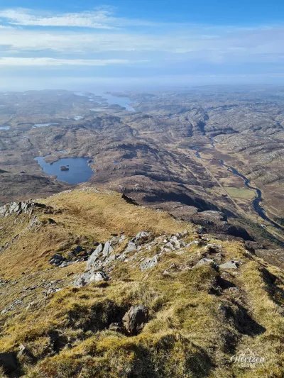
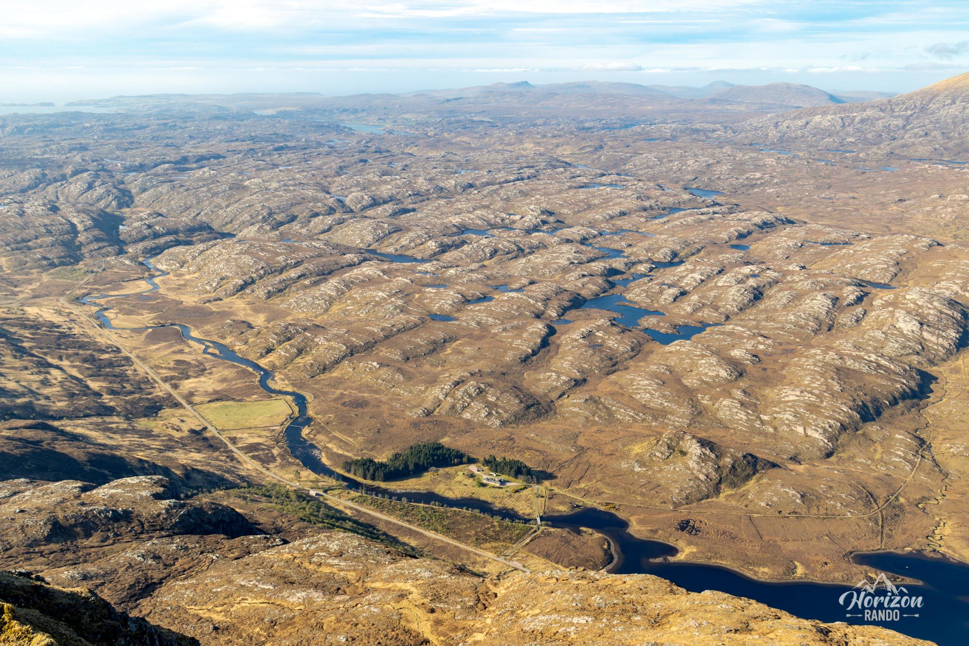
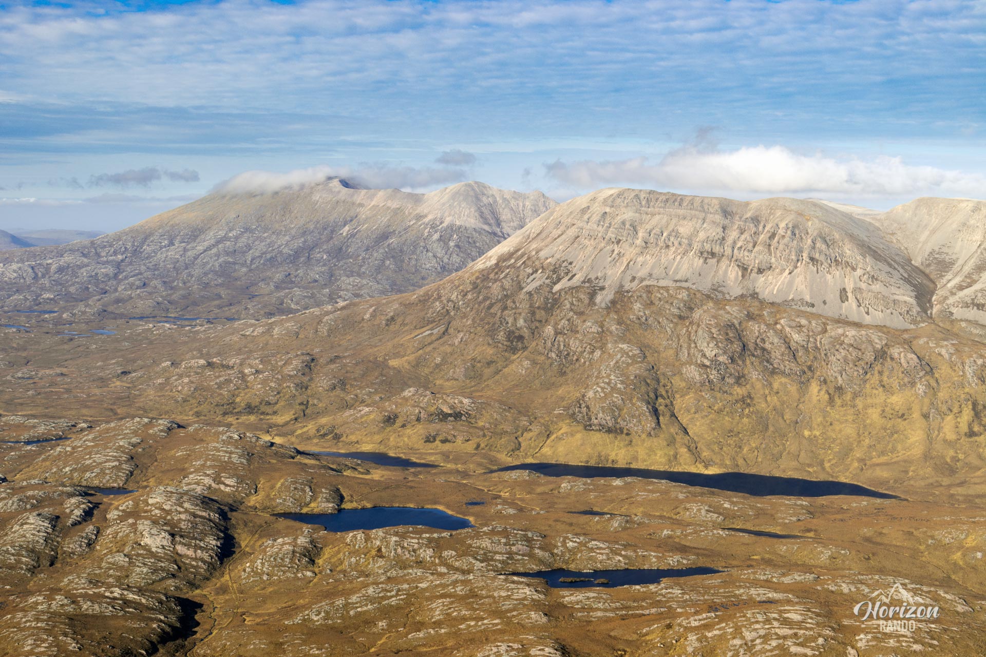
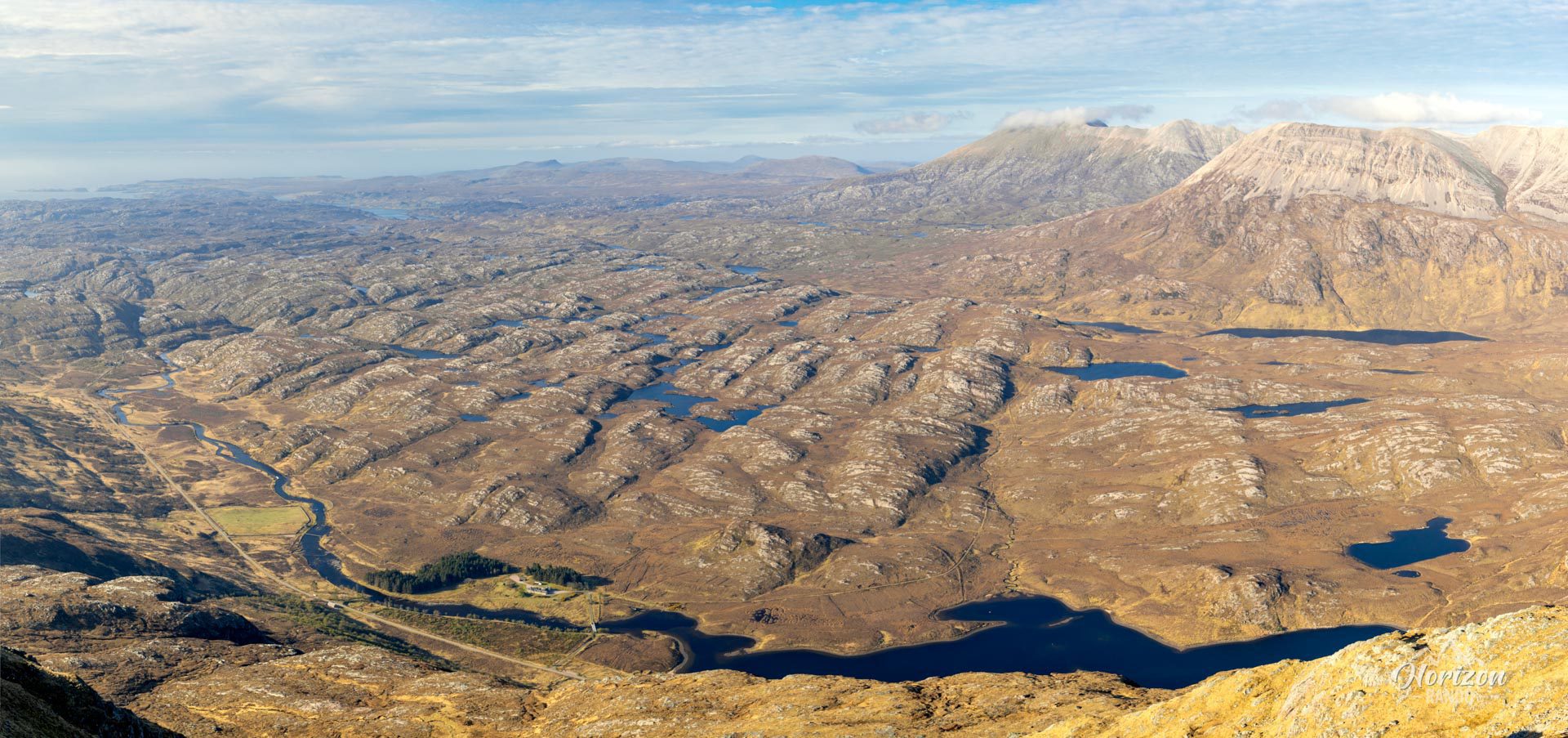
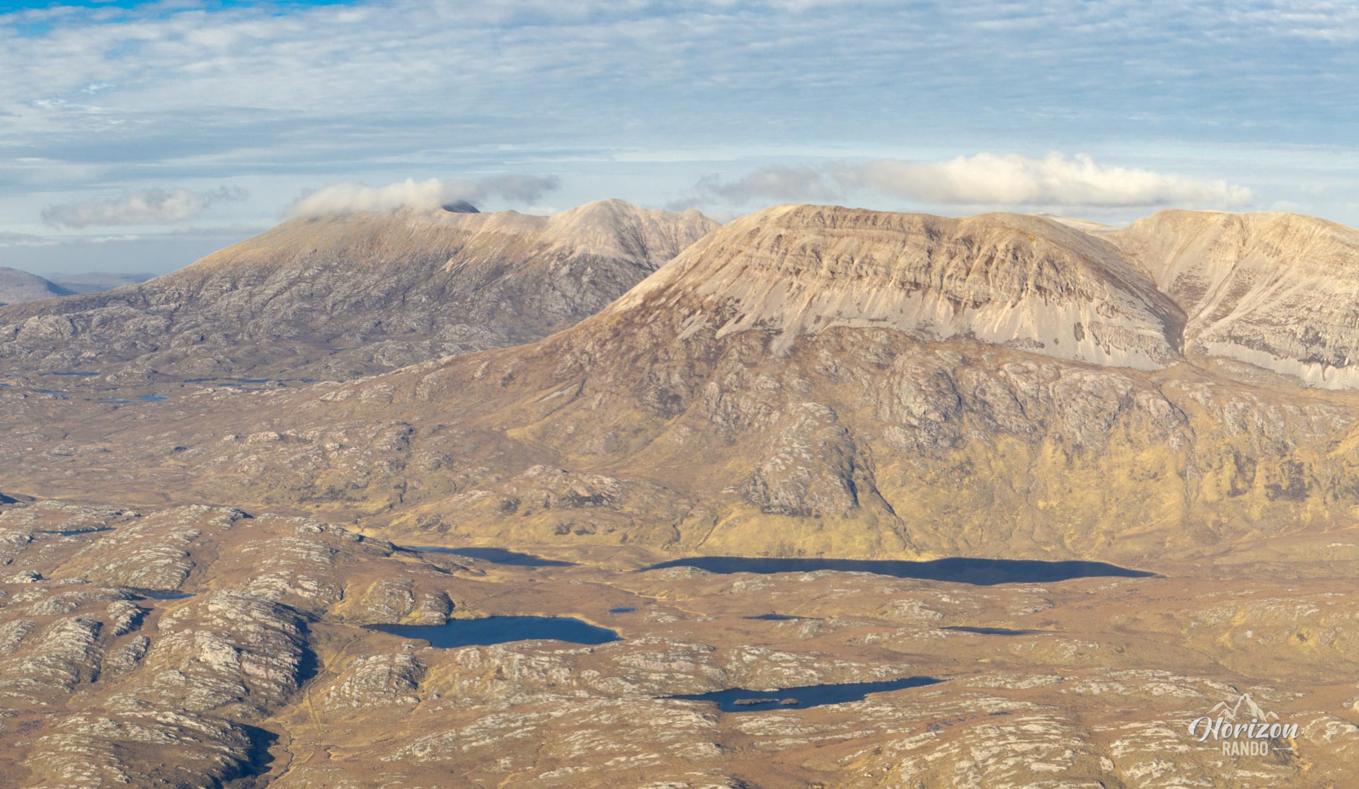
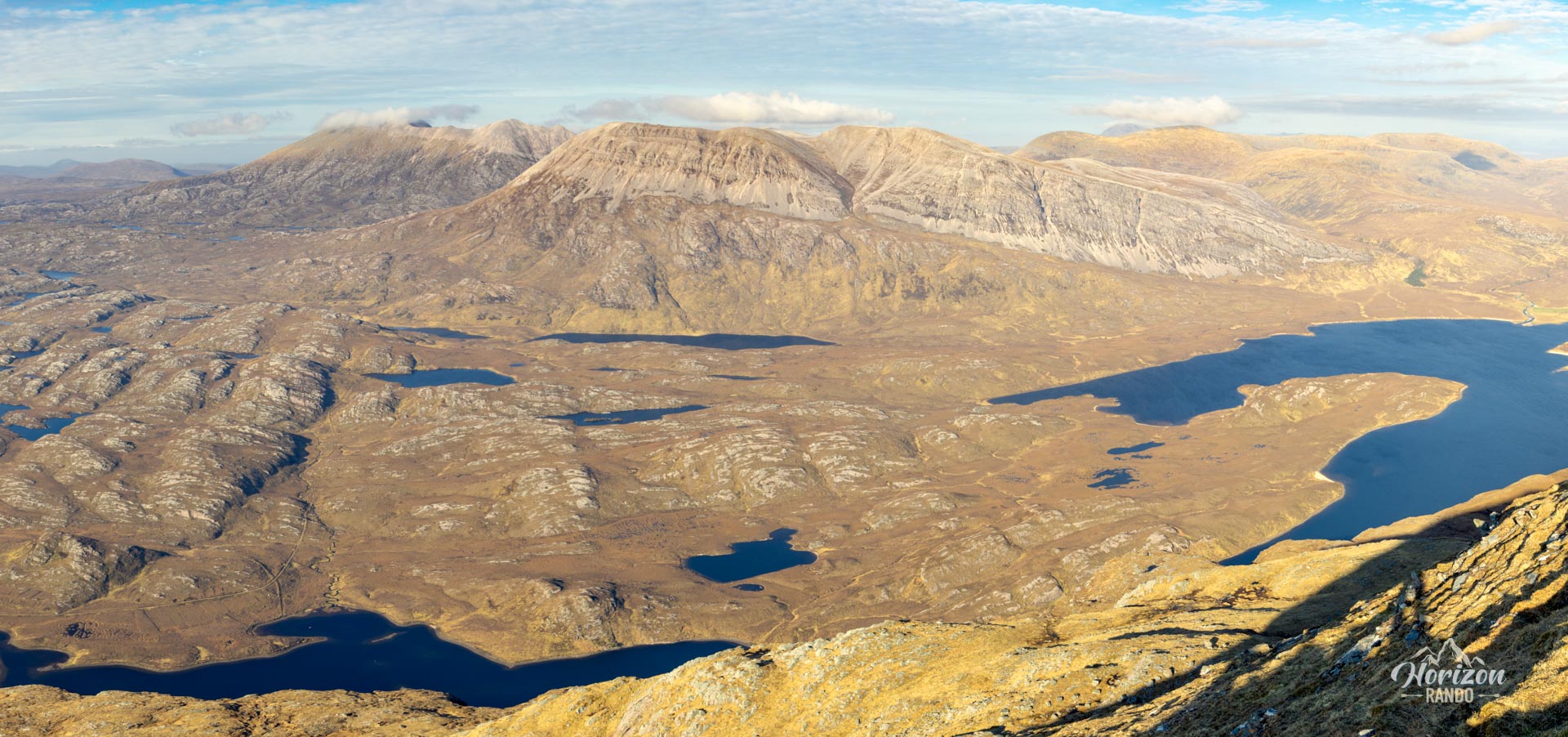
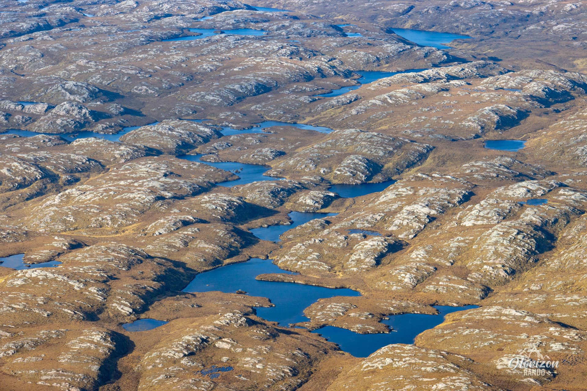
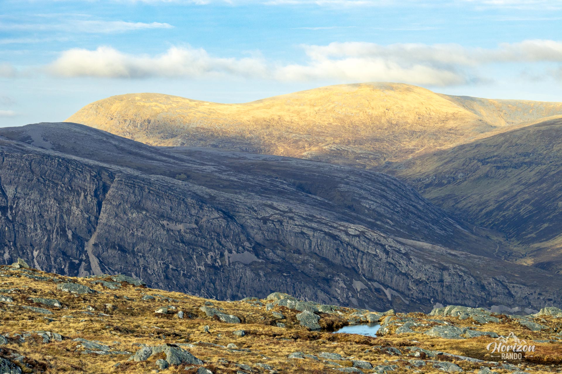
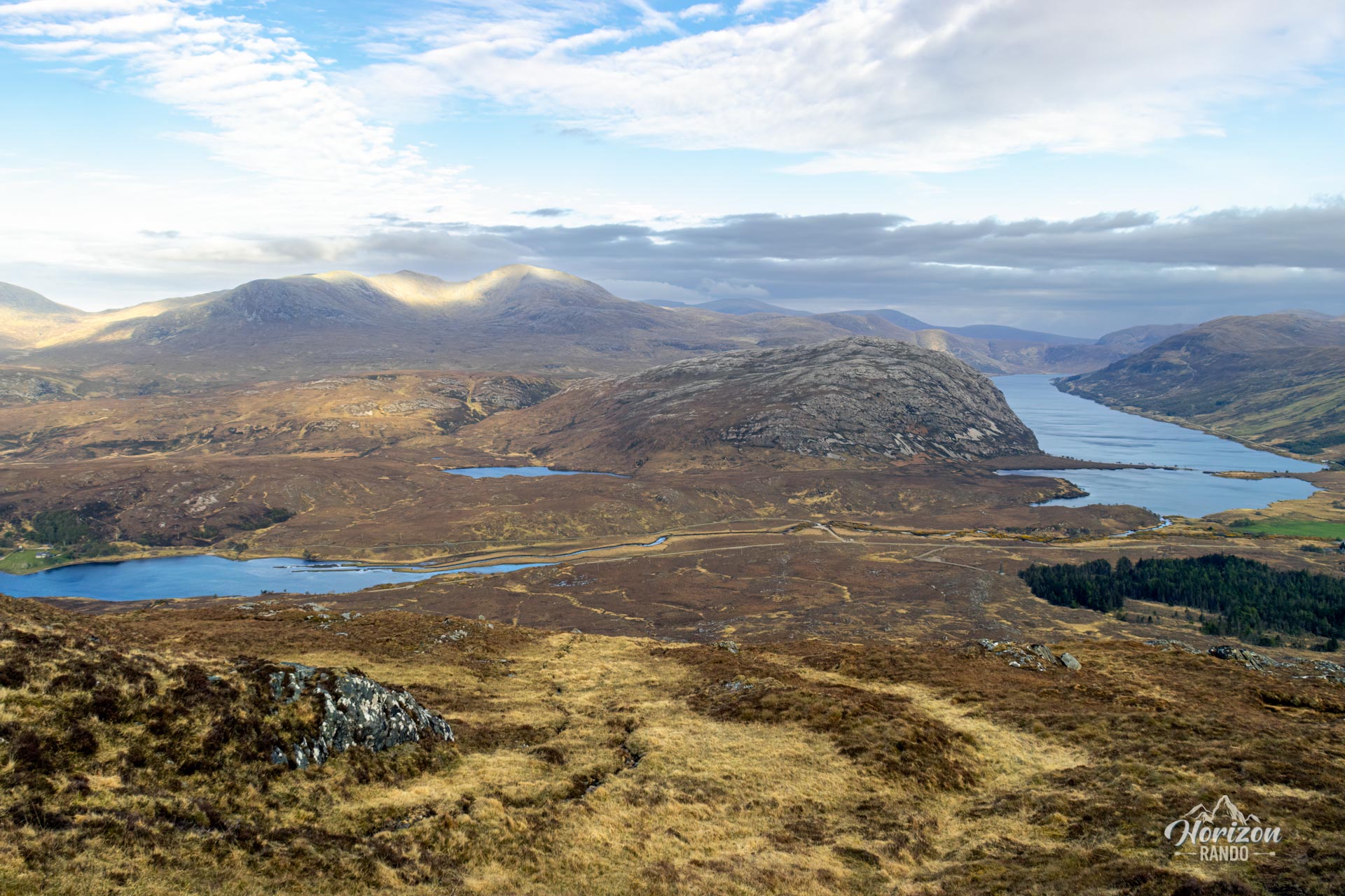
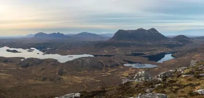
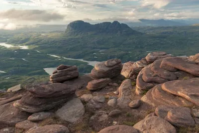
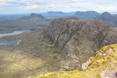
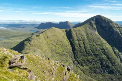
At the top, the panorama is magnificent. The imposing white quartzite mountains of Foinaven and Arkle dominate the landscape. Below lies an incredible mosaic of lochs, lochans, and rivers, which are characteristic of this wild region of northwestern Scotland.
Map and elevation profile of the hike
Ben Stack Hike
Difficulties of the hike
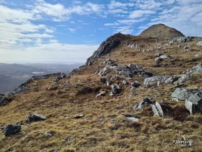
Despite its relatively short distance of around 8 km there and back, Ben Stack is a physically demanding hike. The 700 meters of elevation gain are fairly steady with no real moments of recovery. The route is almost entirely off-trail and often on spongy or boggy ground with sustained slopes. However, navigation is straightforward. Once you pass the telephone antenna, maintain the same course, heading due northwest.
What you'll love
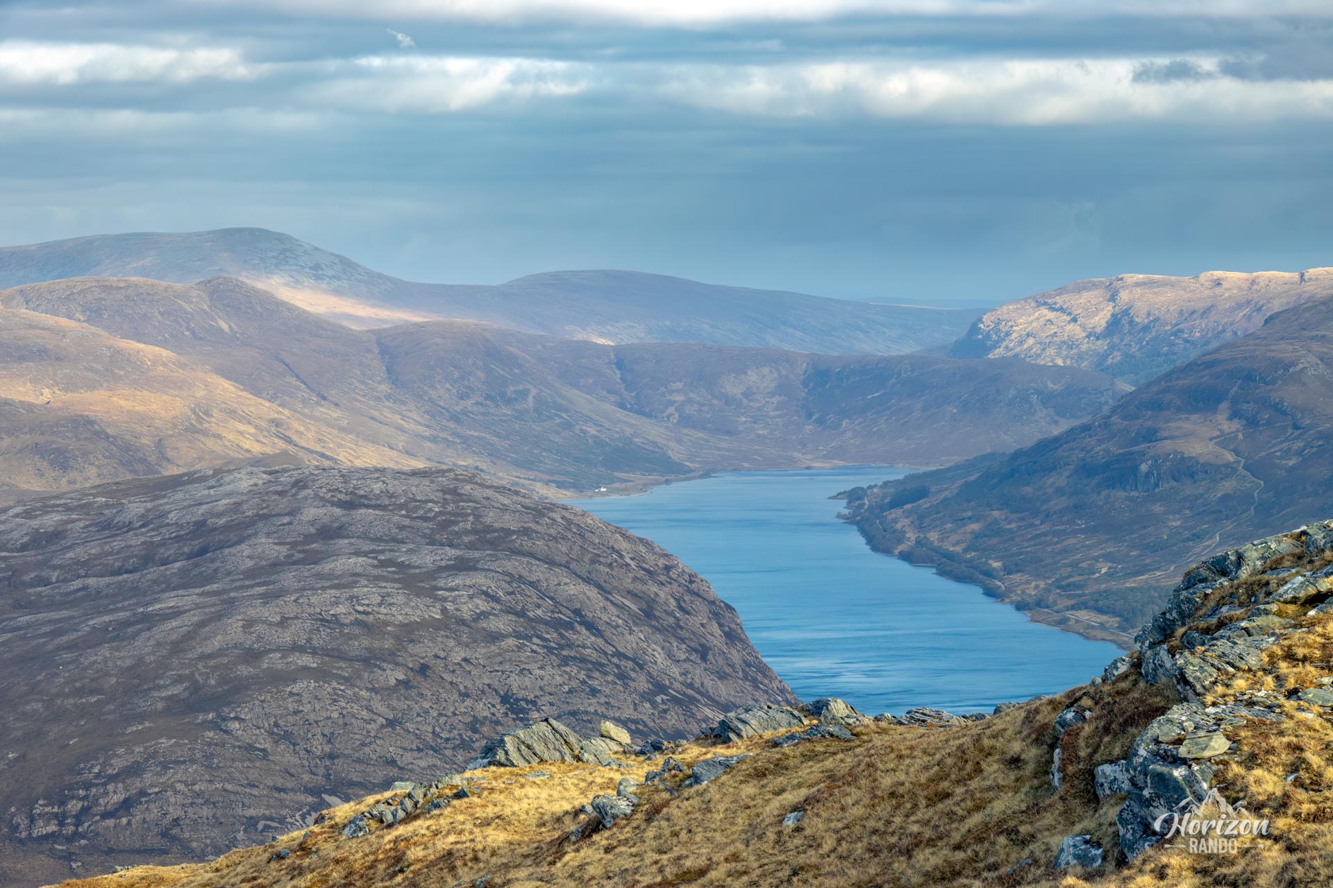
- The exceptional panoramic views from the summit: Take in the imposing Foinaven and Arkle massifs, as well as the countless lochs in the region and the Atlantic Ocean on the horizon.
- The wild and isolated nature of the route: Rarely used, it crosses a pristine environment representative of the Northwest Highlands.
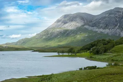
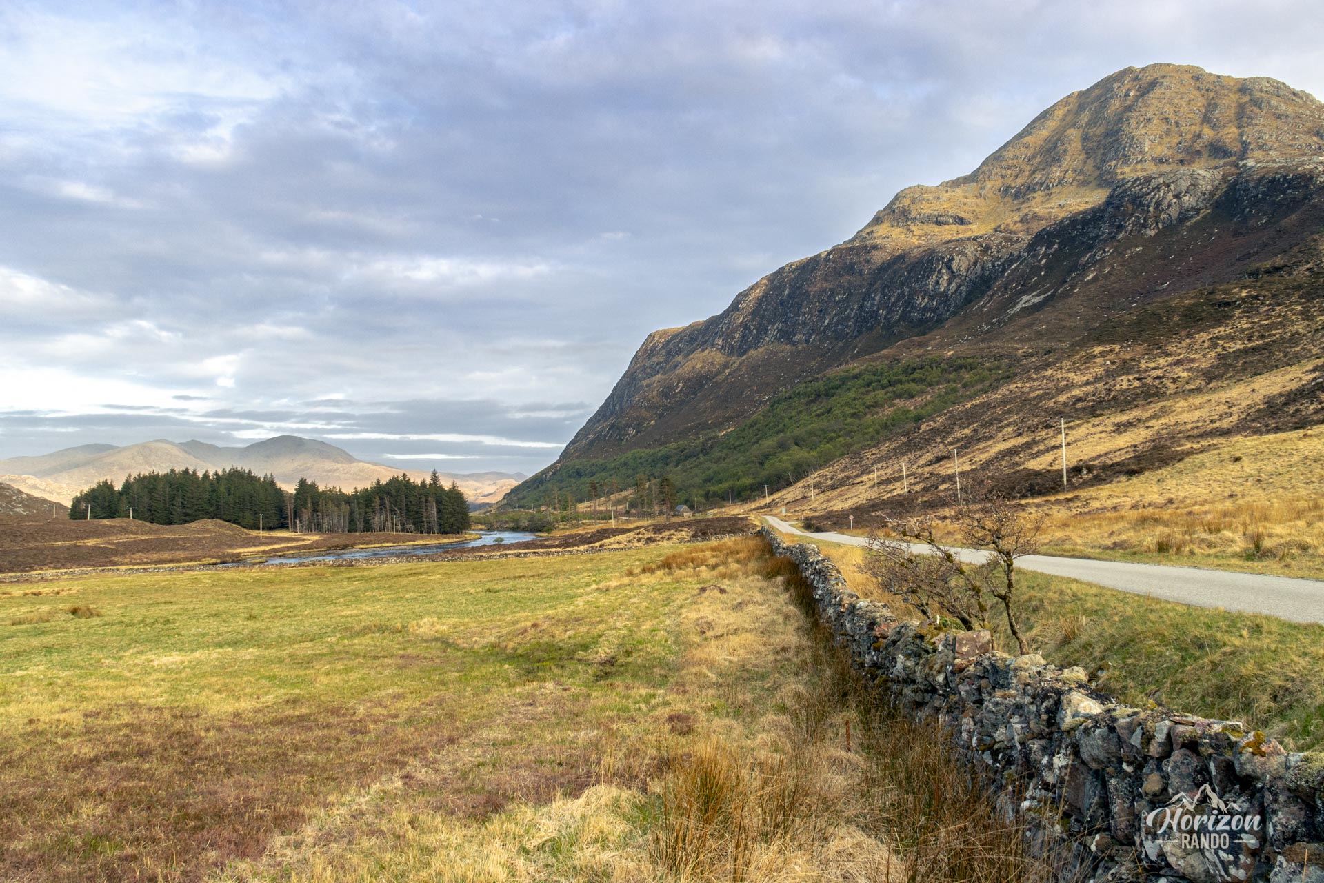
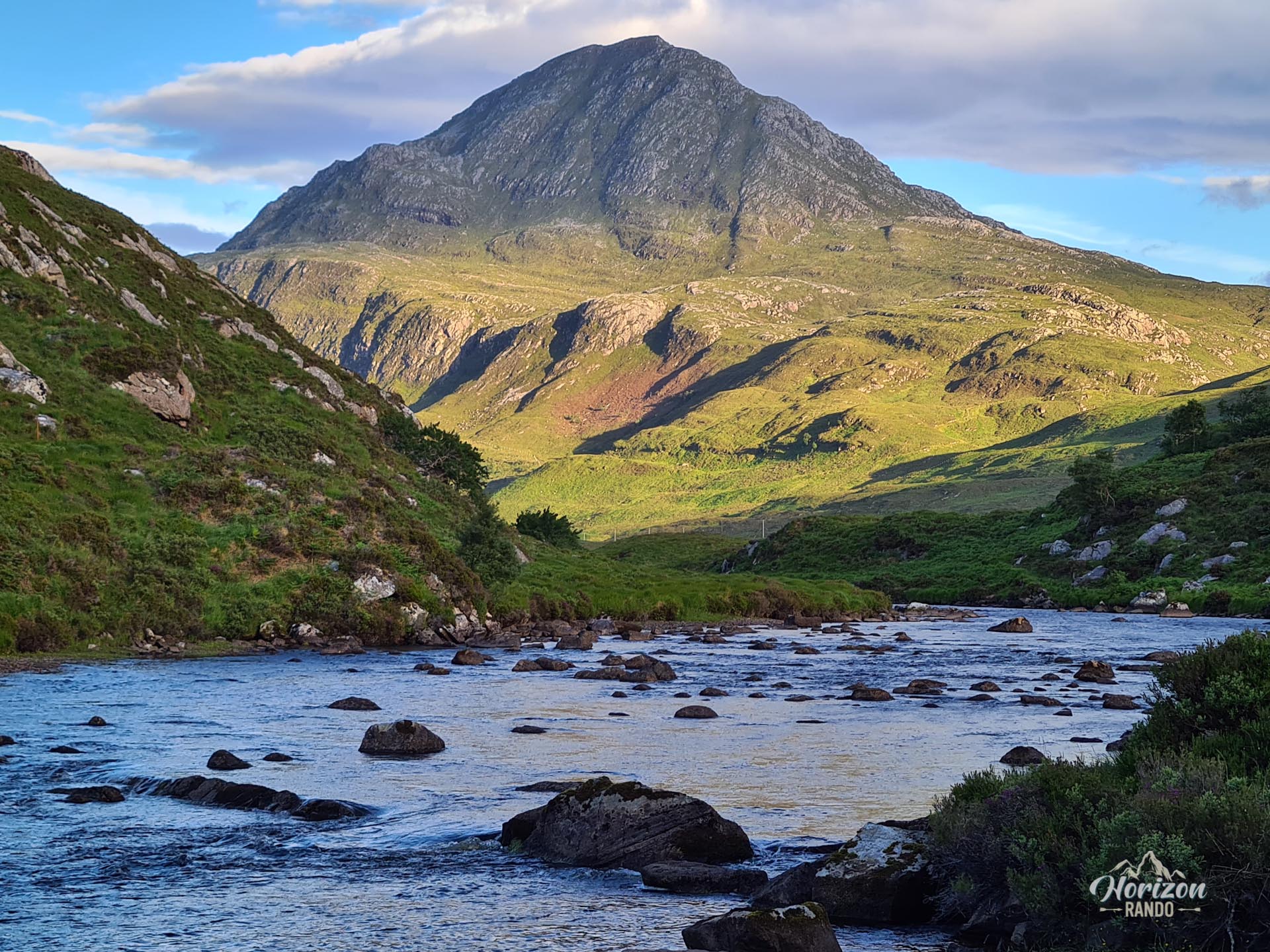
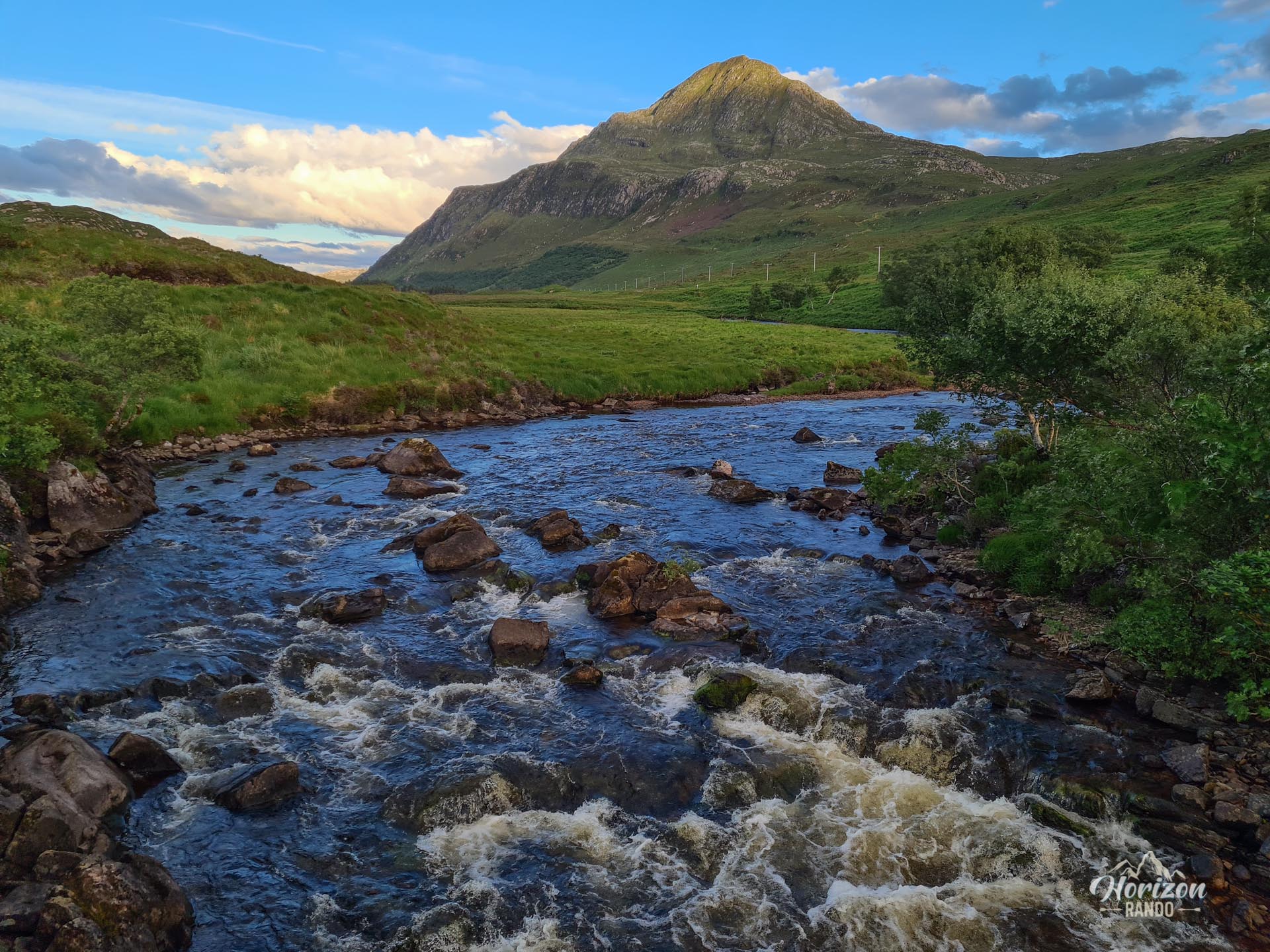
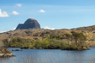
- The distinctive silhouette of the mountain: Seen from the west, Ben Stack has a spectacular, pointed profile that is particularly photogenic.
Photos
See all 17 photos →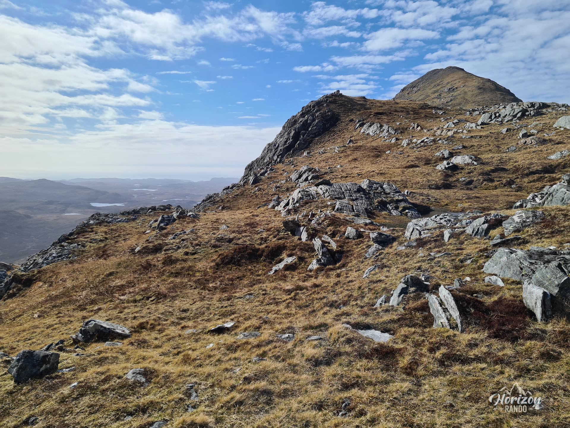
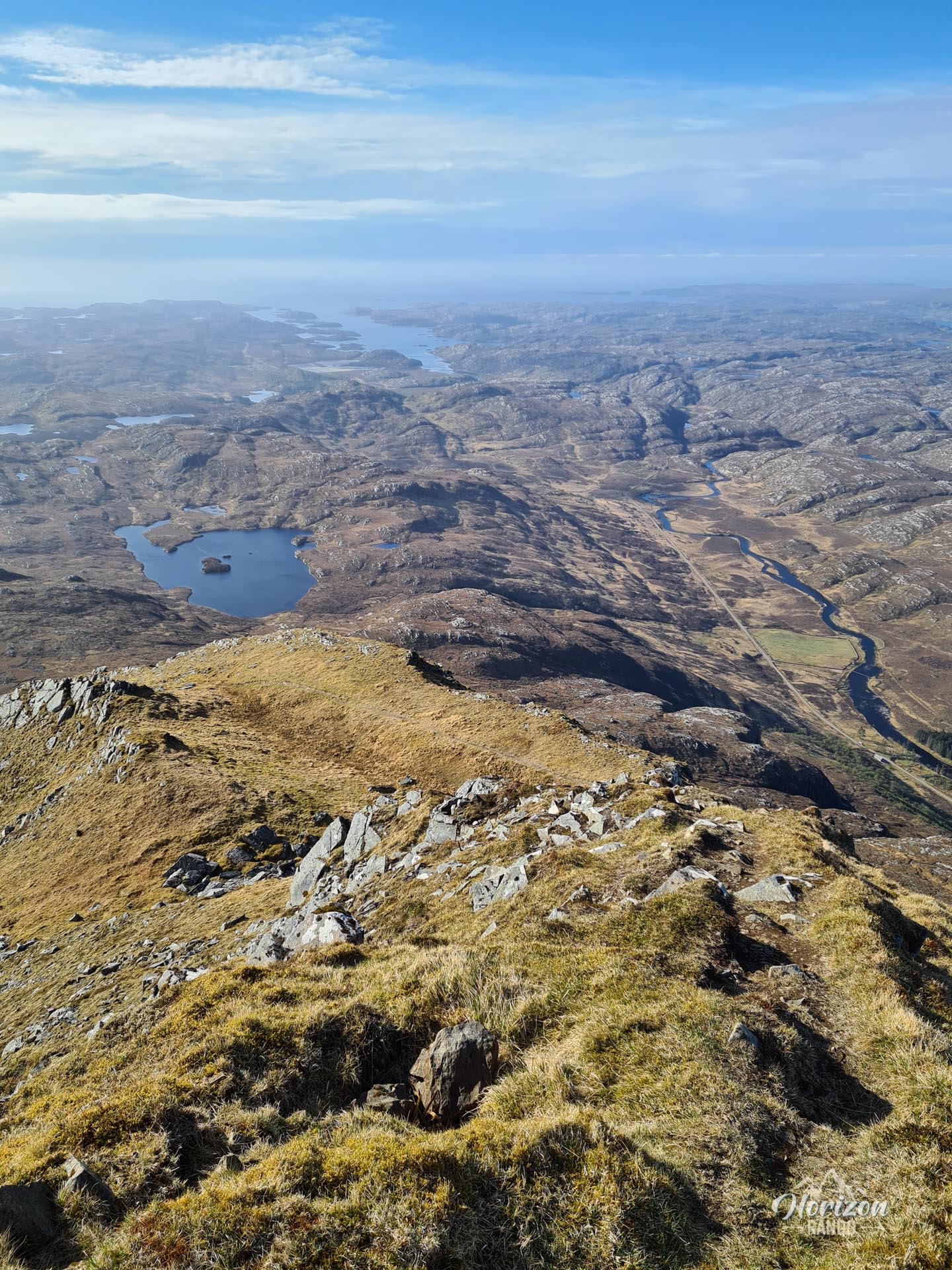
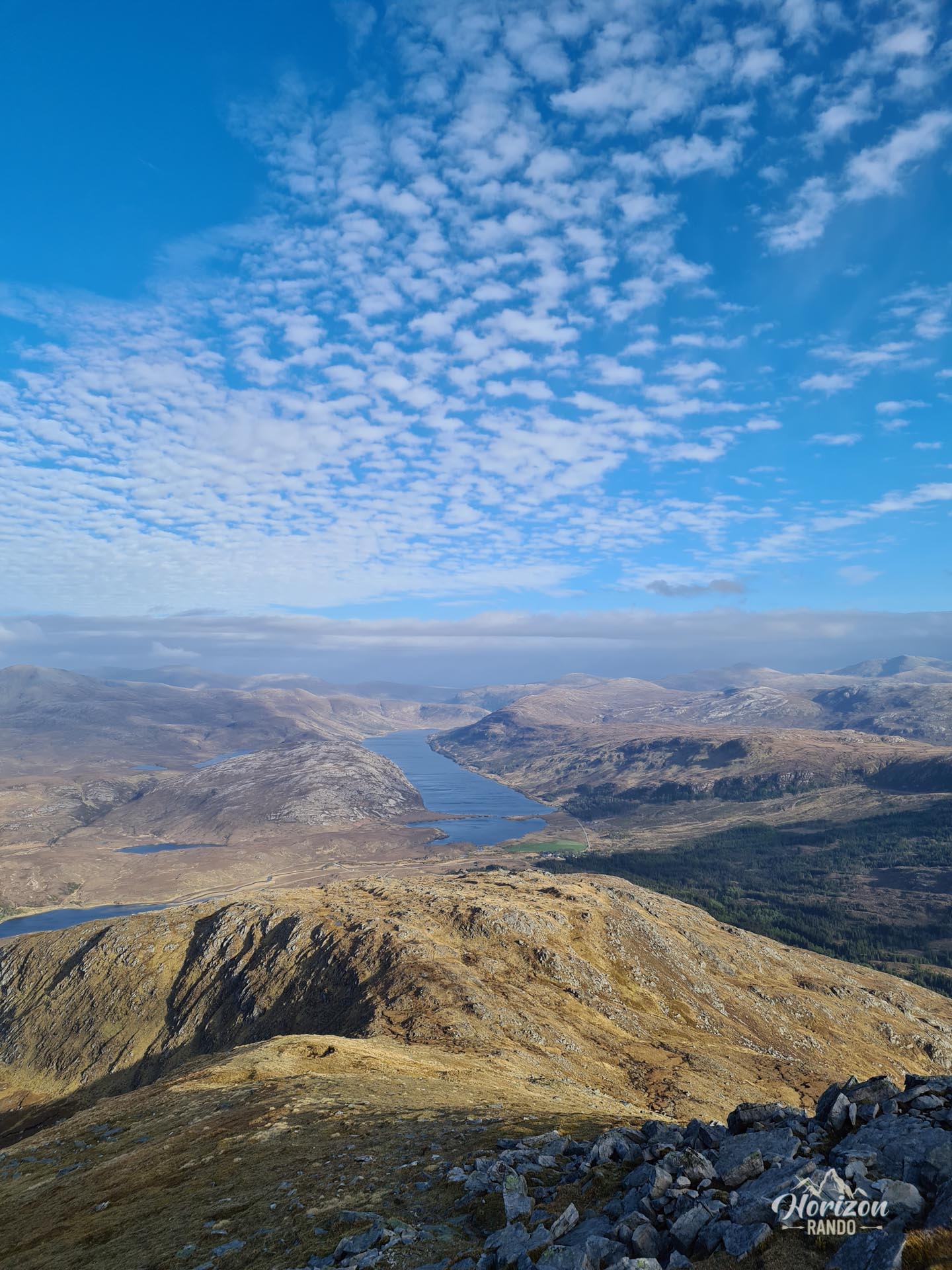
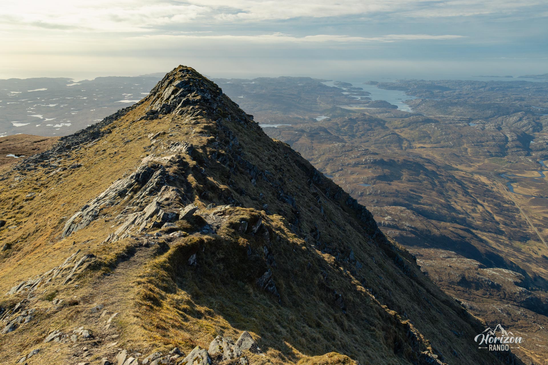
More hikes to do in Scotland
Nearby hikes








Printed from www.horizonrando.fr/en/scotland/ben-stack/